EstuaryWatch Data Portal
BmMC Barham River Observation Site
Site details
Overview
| Estuary | Barham River Estuary |
|---|---|
| CMA | Corangamite CMA |
| Type | Mouth Condition |
| Site code | BmMC |
| Site name | Barham River Observation Site |
| Nearest road and town | Apollo Bay |
| Description | Fence corner 17th hole. |
| Site access | Enter via walking track from the carpark at the corner of Gambier and Trafalgar Streets. |
| Land use |
|
| Land use description | Native bushland bordering a golf course. |
| Status | Active |
| Observation history | 23-05-2008 - 19-04-2024 |
Observations
| # | Date | Mouth state | Flow | Wind | Beaufort Scale | Sea State | Water Level Start | Water Level End | High Tide | Low Tide | ||||
|---|---|---|---|---|---|---|---|---|---|---|---|---|---|---|
| #16130 | 19-04-2024 | Open | Out | SE | Gentle breeze | 6 Rough | 1.3m | 06:40am | 0.8m | 12:14pm | ||||
| #16064 | 21-03-2024 | Closed | N/A | S | Light Breeze | 4 Slight | 1.3m | 07:35am | 0.6m | 13:42pm | ||||
| #15987 | 19-01-2024 | Open | Out | SW | Fresh breeze | 5 Moderate | ||||||||
| #15941 | 19-12-2023 | Open | Out | SW | Moderate breeze | 5 Moderate | 1.6m | 16:51pm | 0.4m | 22:33pm | ||||
| #15869 | 18-11-2023 | Open | Out | SW | Gentle breeze | 3 Smooth | 0.0m | 1.4m | 15:18pm | 0.7m | 09:37am | |||
| #15720 | 20-08-2023 | Open | In | W | Moderate breeze | 4 Slight | 2.1m | 14:18pm | 0.8m | 20:21pm | ||||
| #15669 | 19-07-2023 | Open | In | NE | Light Breeze | 5 Moderate | 0.0m | 1.9m | 13:10pm | 1.0m | 19:25pm | |||
| #15665 | 19-07-2023 | Open | In | 13:41pm | 06:45am | |||||||||
| #15591 | 19-06-2023 | Open | In | W | Gentle breeze | 6 Rough | 2.1m | 12:46pm | 0.5m | 05:16am | ||||
Snapshots
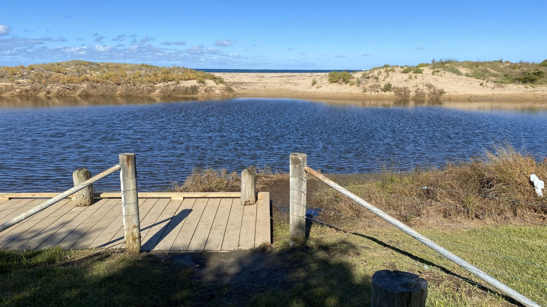
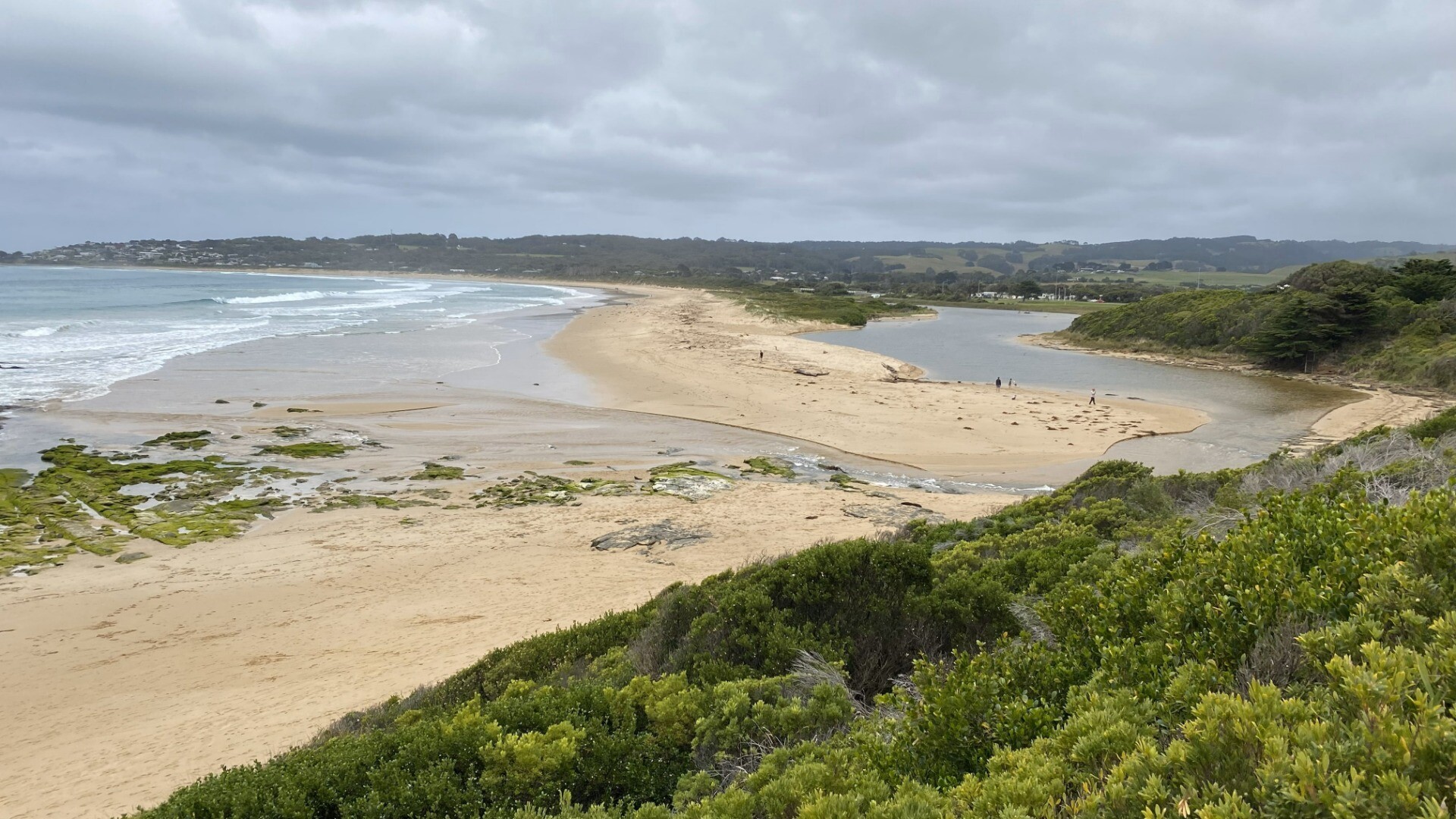
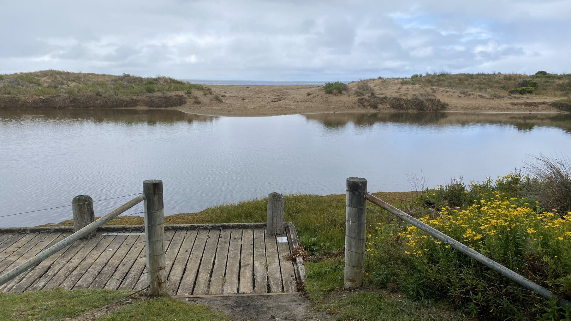
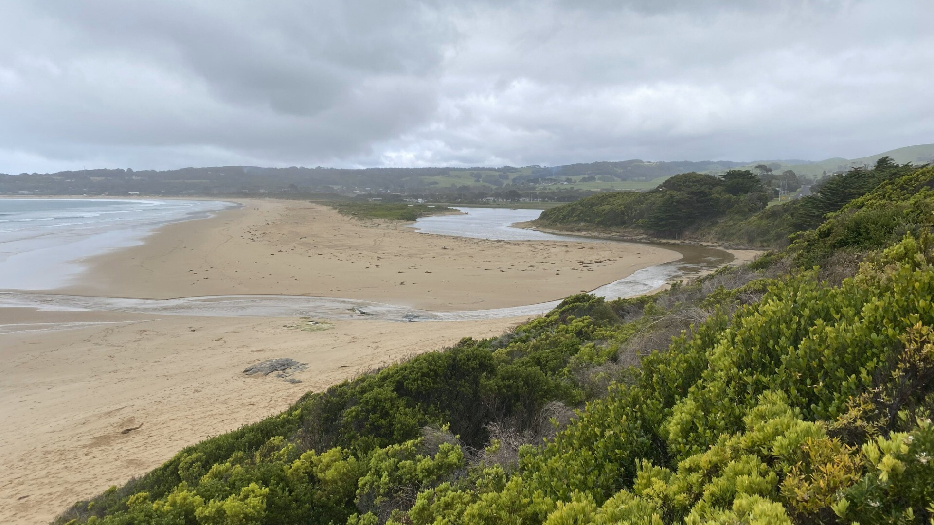
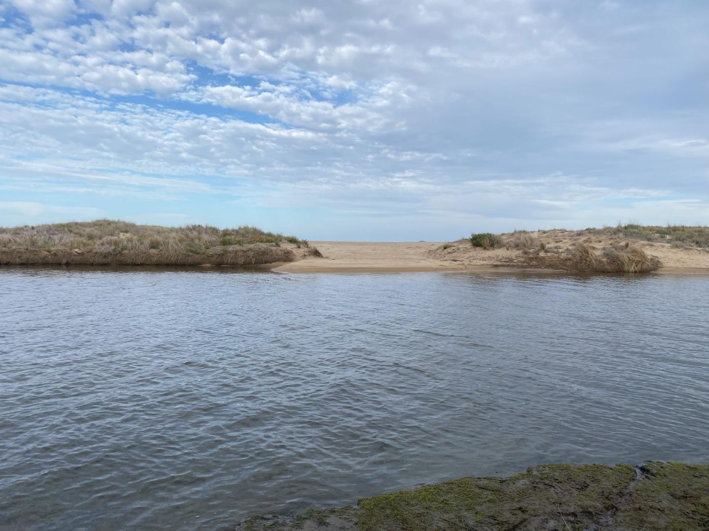
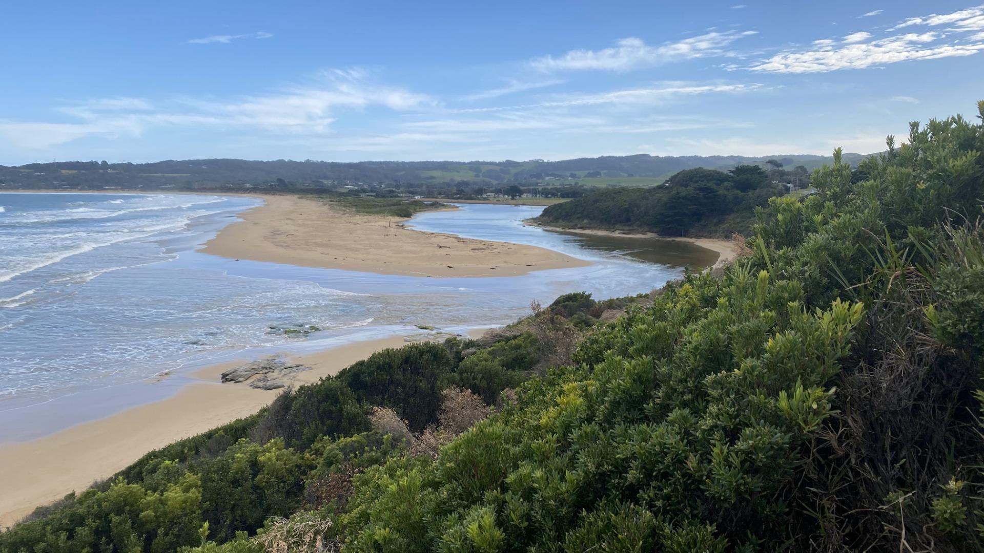
19-04-2024 #16130
Photopoint BmP2
Photopoint BmP3
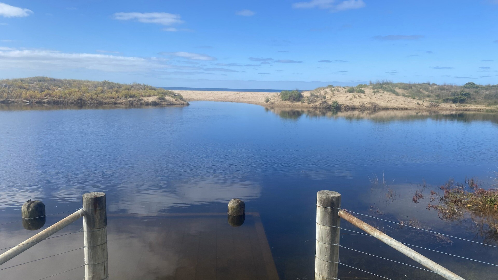
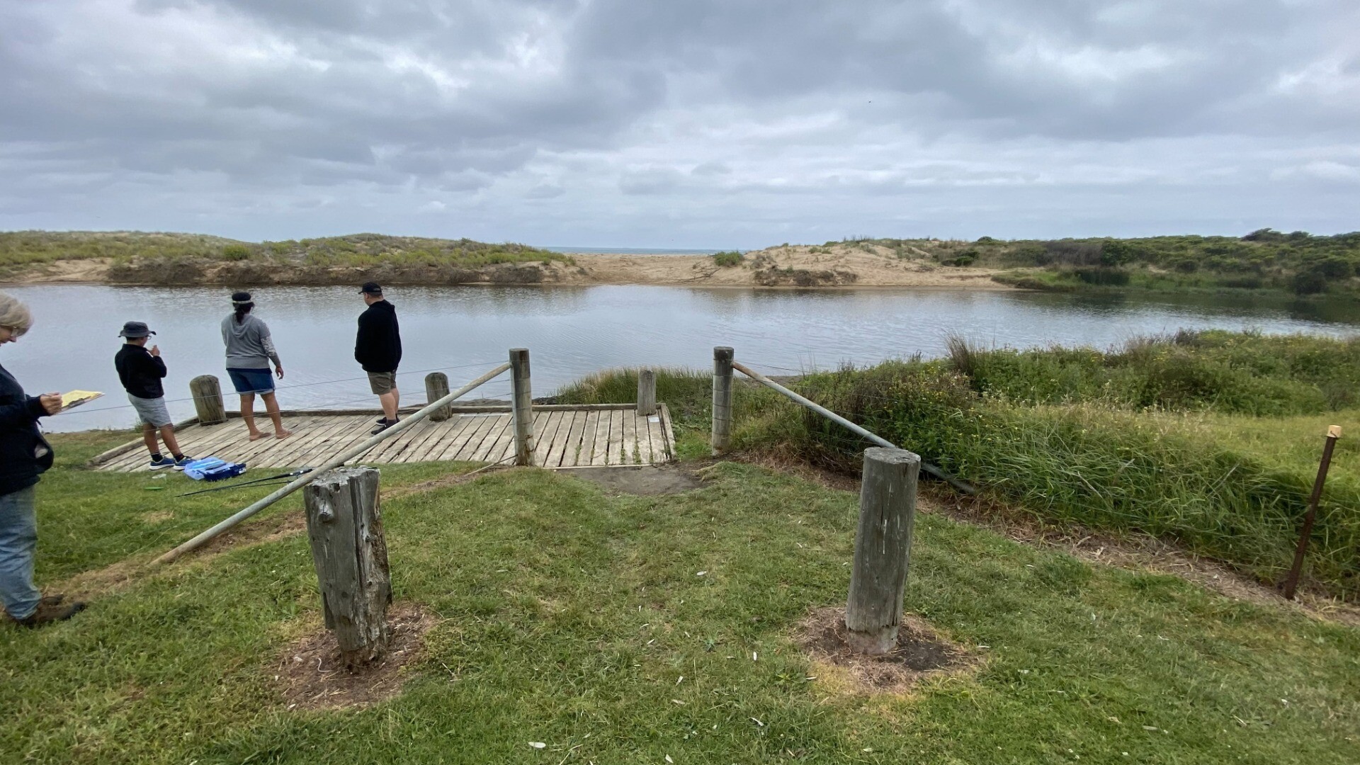
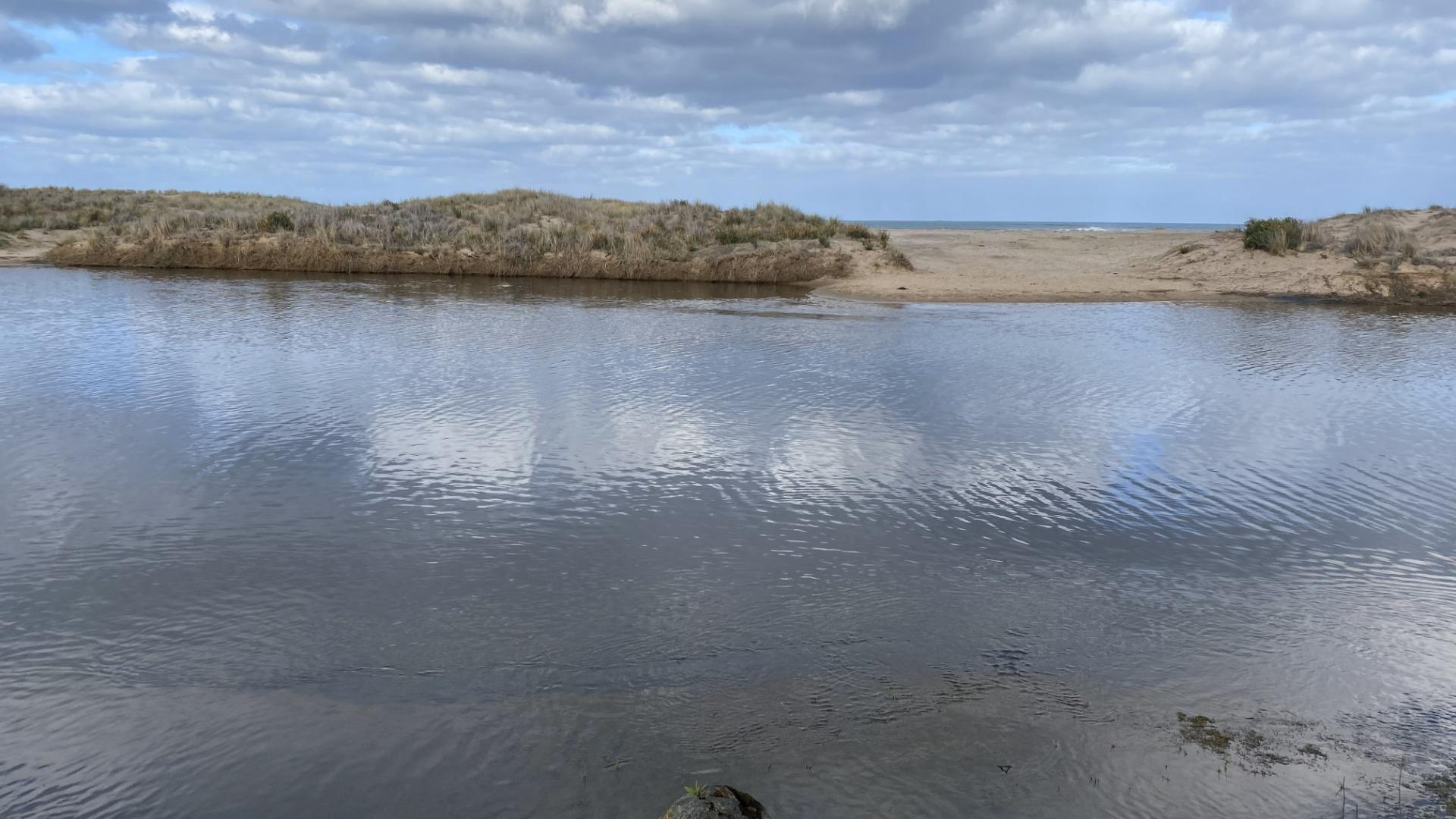
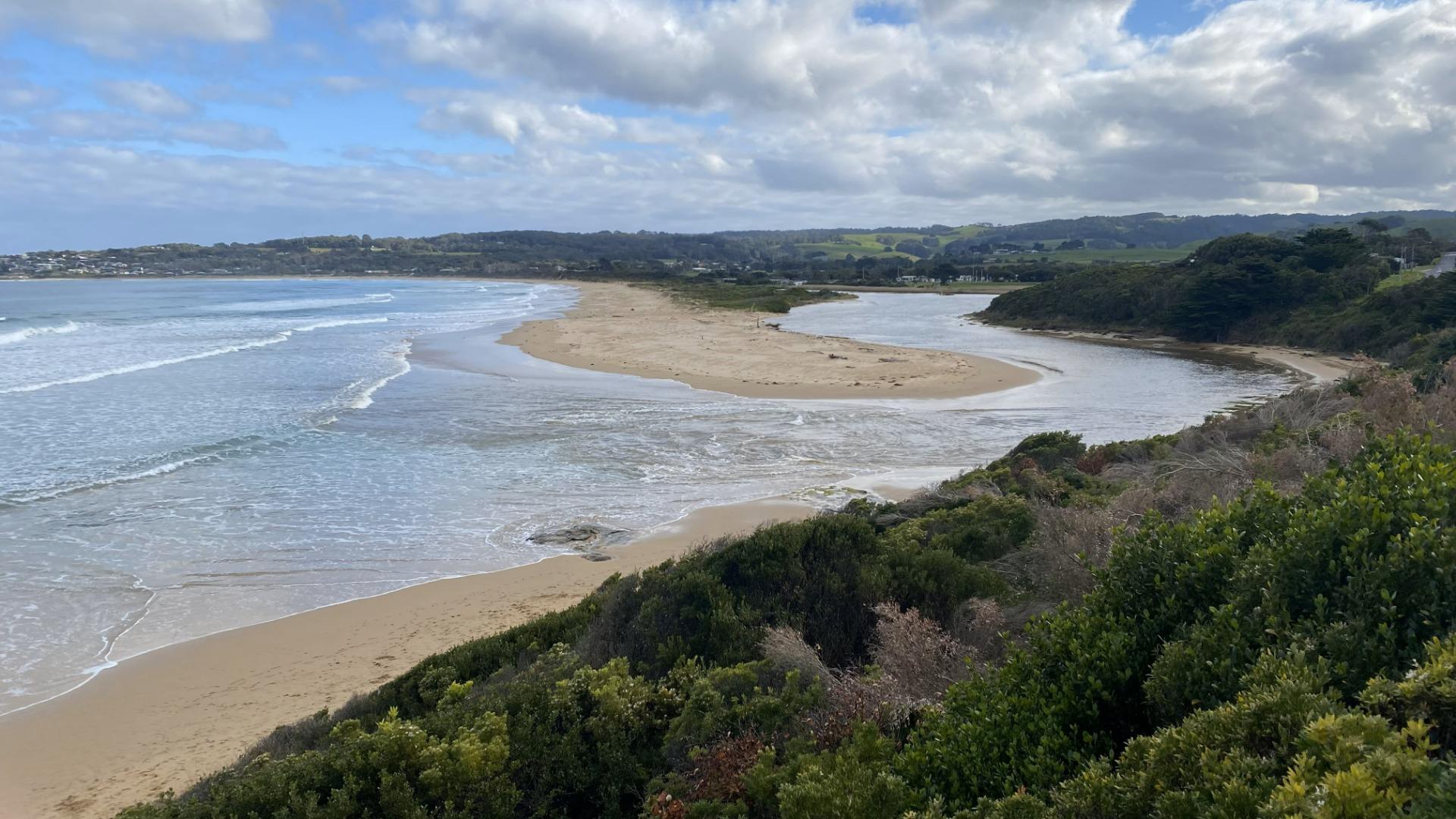
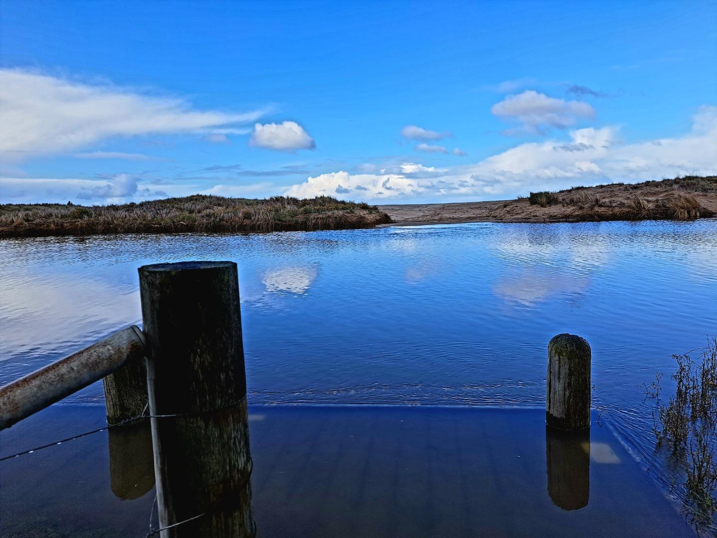
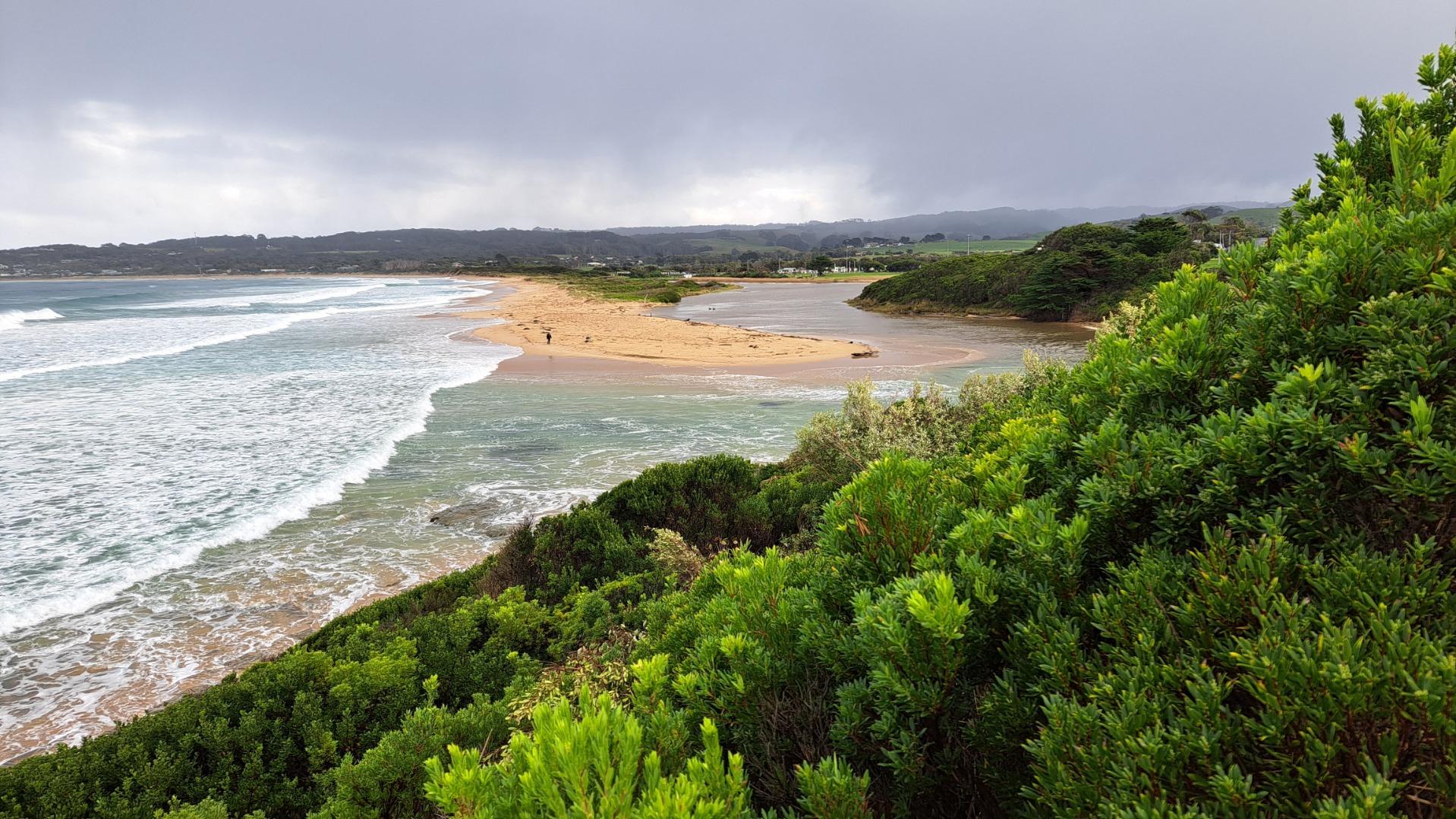
21-03-2024 #16064
Photopoint BmP2
Photopoint BmP3
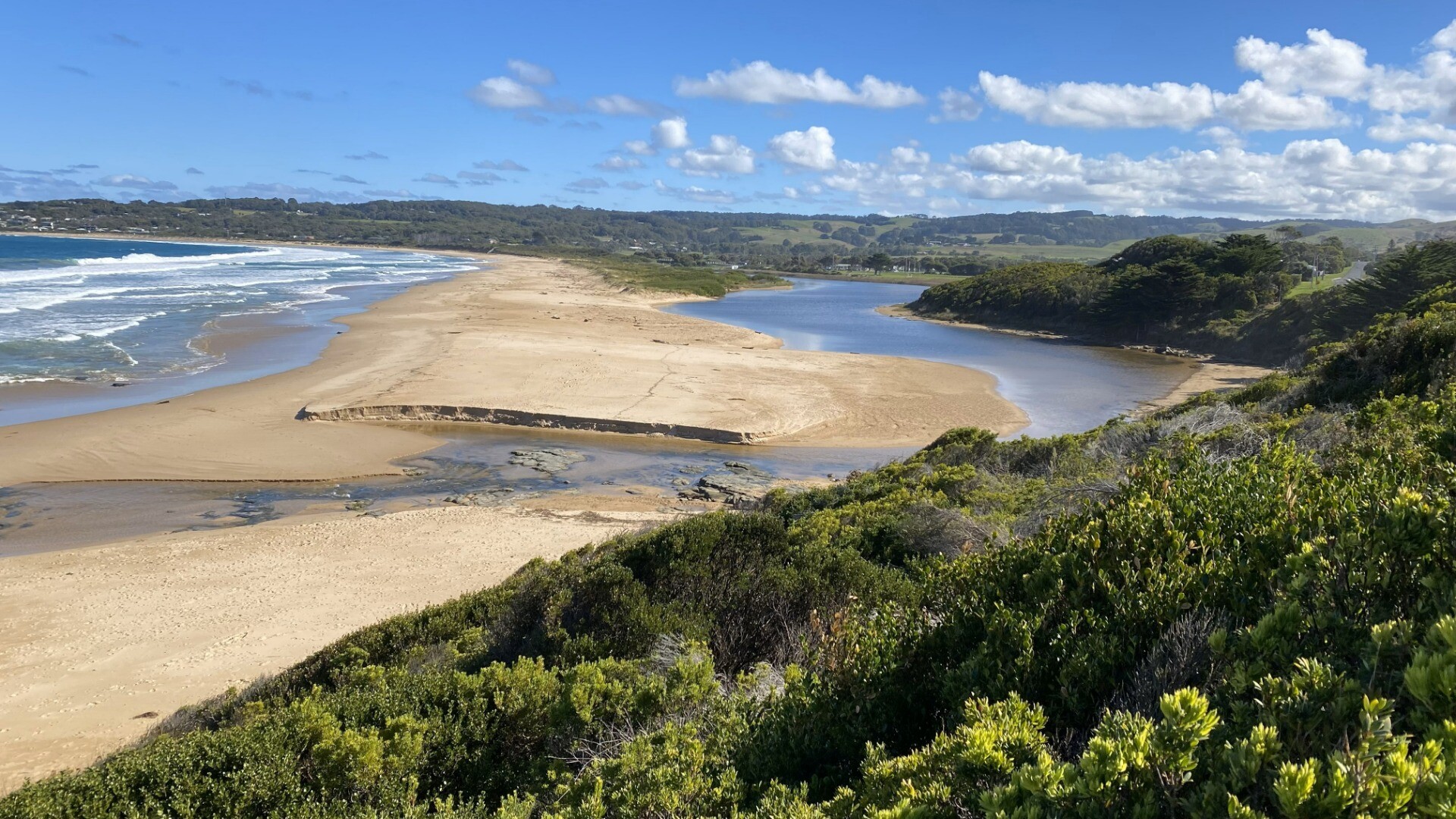
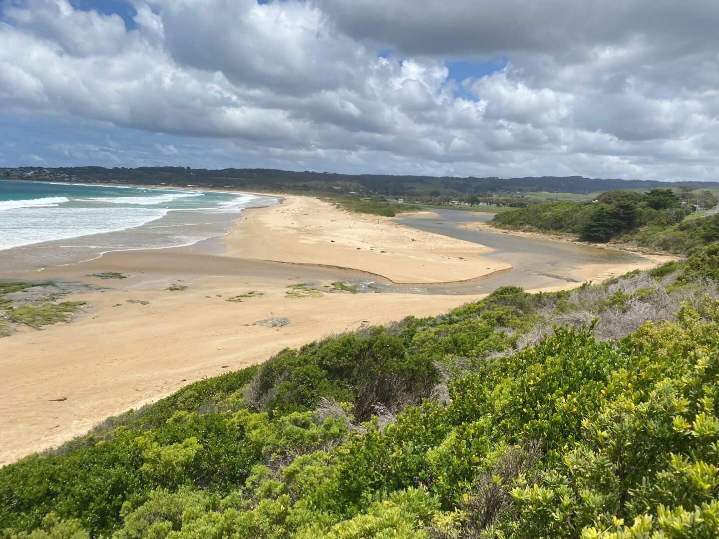
19-01-2024 #15987
Photopoint BmP3
Photopoint BmP2
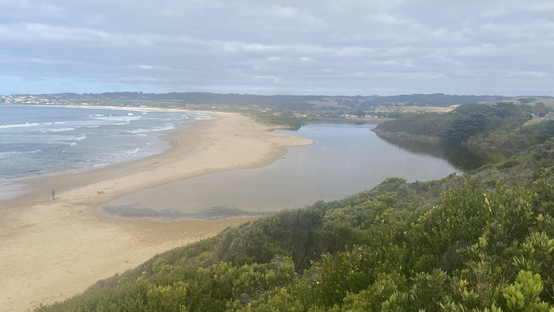
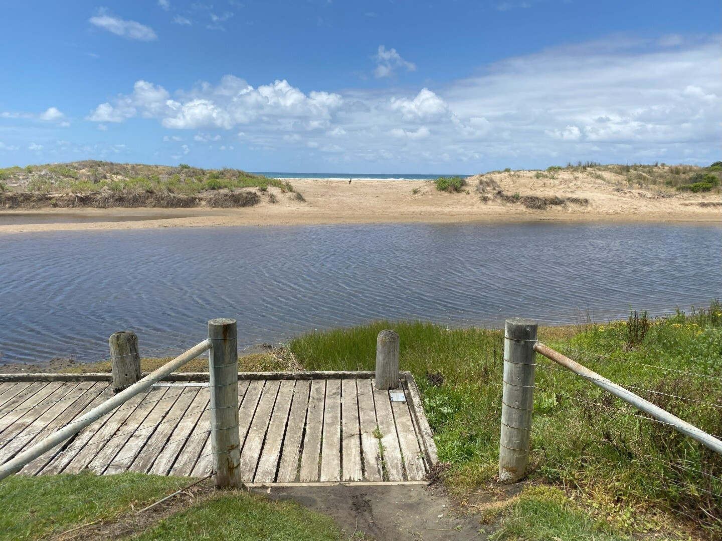
19-12-2023 #15941
Photopoint BmP3
Photopoint BmP2
18-11-2023 #15869
Photopoint BmP2
Photopoint BmP3
20-08-2023 #15720
Photopoint BmP2
Photopoint BmP3
19-07-2023 #15669
Photopoint BmP2
Photopoint BmP3
19-07-2023 #15665
19-06-2023 #15591
Photopoint BmP2
Photopoint BmP3

All content, files, data and images provided by the EstuaryWatch Data Portal and Gallery are subject to a Creative Commons Attribution License
Content is made available to be used in any way, and should always attribute EstuaryWatch and www.estuarywatch.org.au