EstuaryWatch Data Portal
Observation details
Overview
| Estuary | Barham River Estuary |
|---|---|
| Site | Barham River Observation Site |
| Observation ID | #15591 |
| Date and Time | Monday 19th June 2023 11:37am |
| Approved | Approved |
Notes
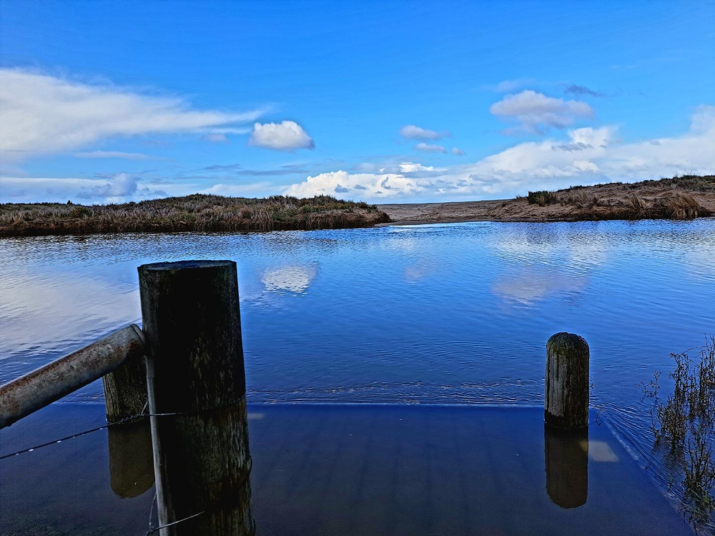
At Bmp2 the platform was under water. Mode for wind and sea state was not assessed as conditions have been highly variable over the last 2 weeks.
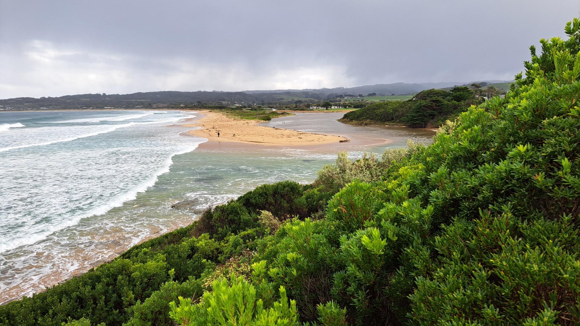
This was a training session.One wide angle 16:9 Bmp3 photo taken to replace two 4:3 images
Water level assessment reading river height gauges could not be completed because of over-growing vegetation.


All content, files, data and images provided by the EstuaryWatch Data Portal and Gallery are subject to a Creative Commons Attribution License
Content is made available to be used in any way, and should always attribute EstuaryWatch and www.estuarywatch.org.au