EstuaryWatch Data Portal
PMC Painkalac Creek Observation Site
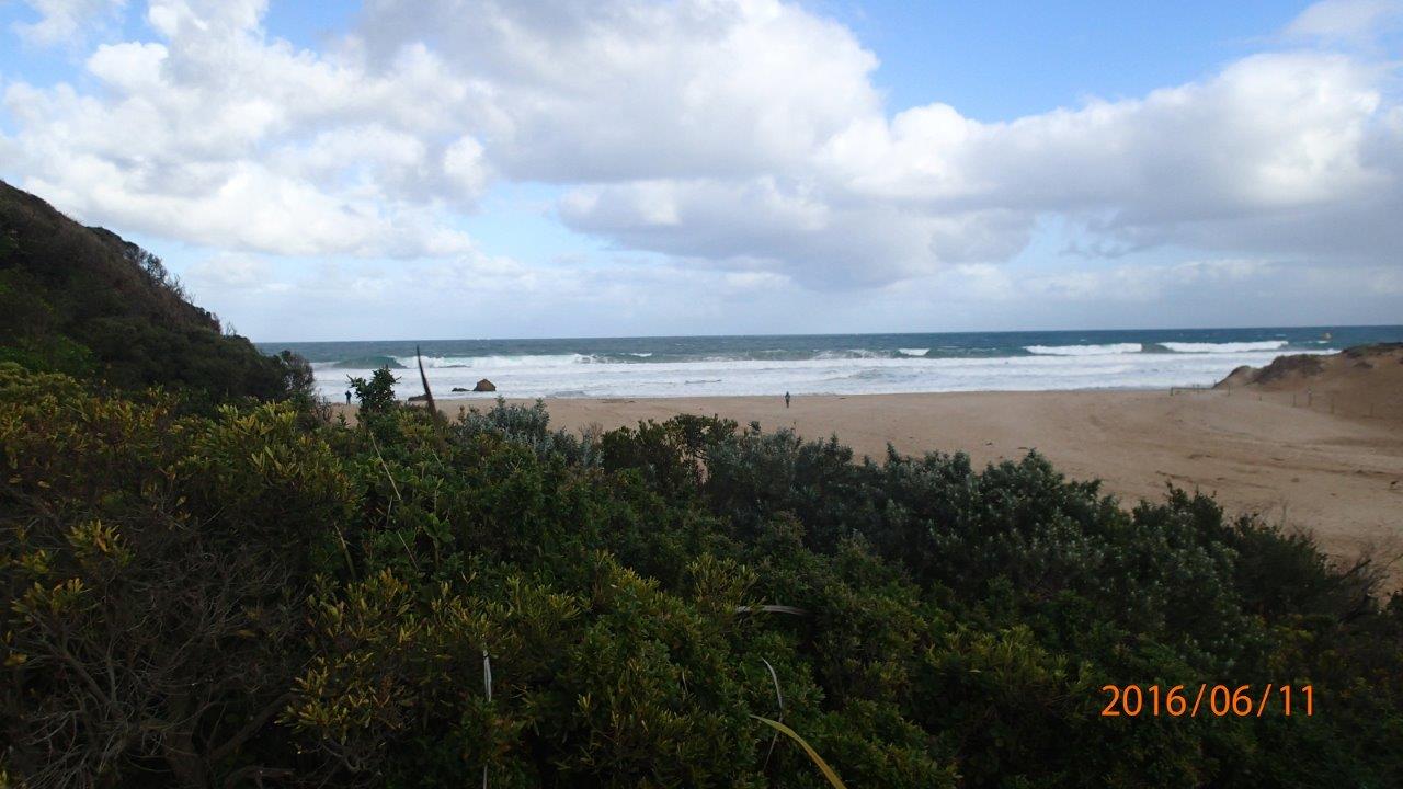
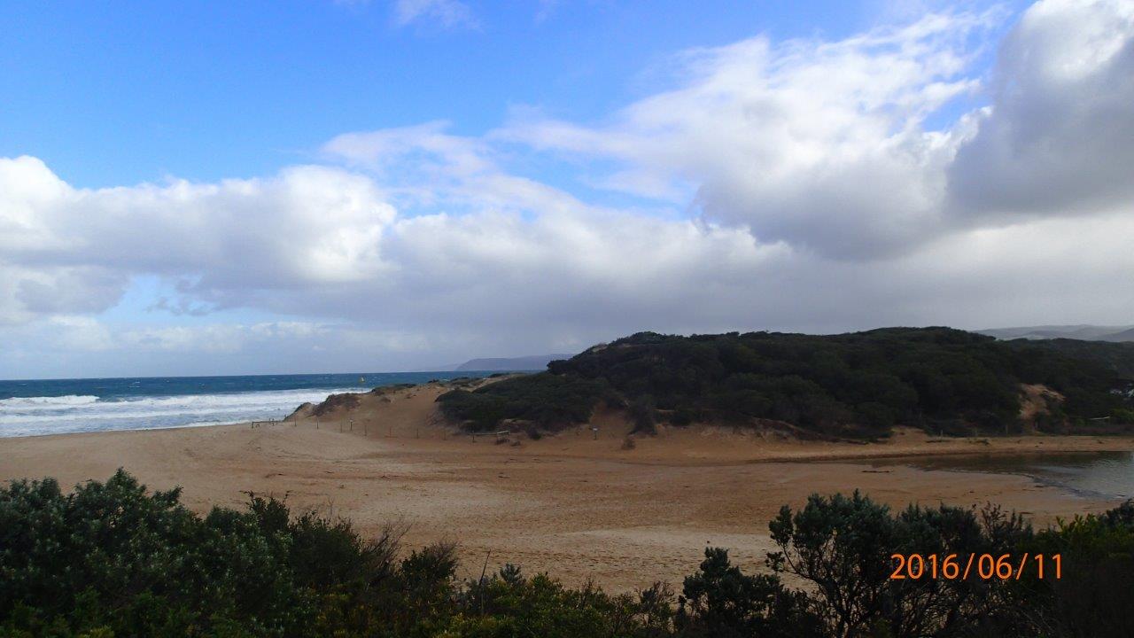
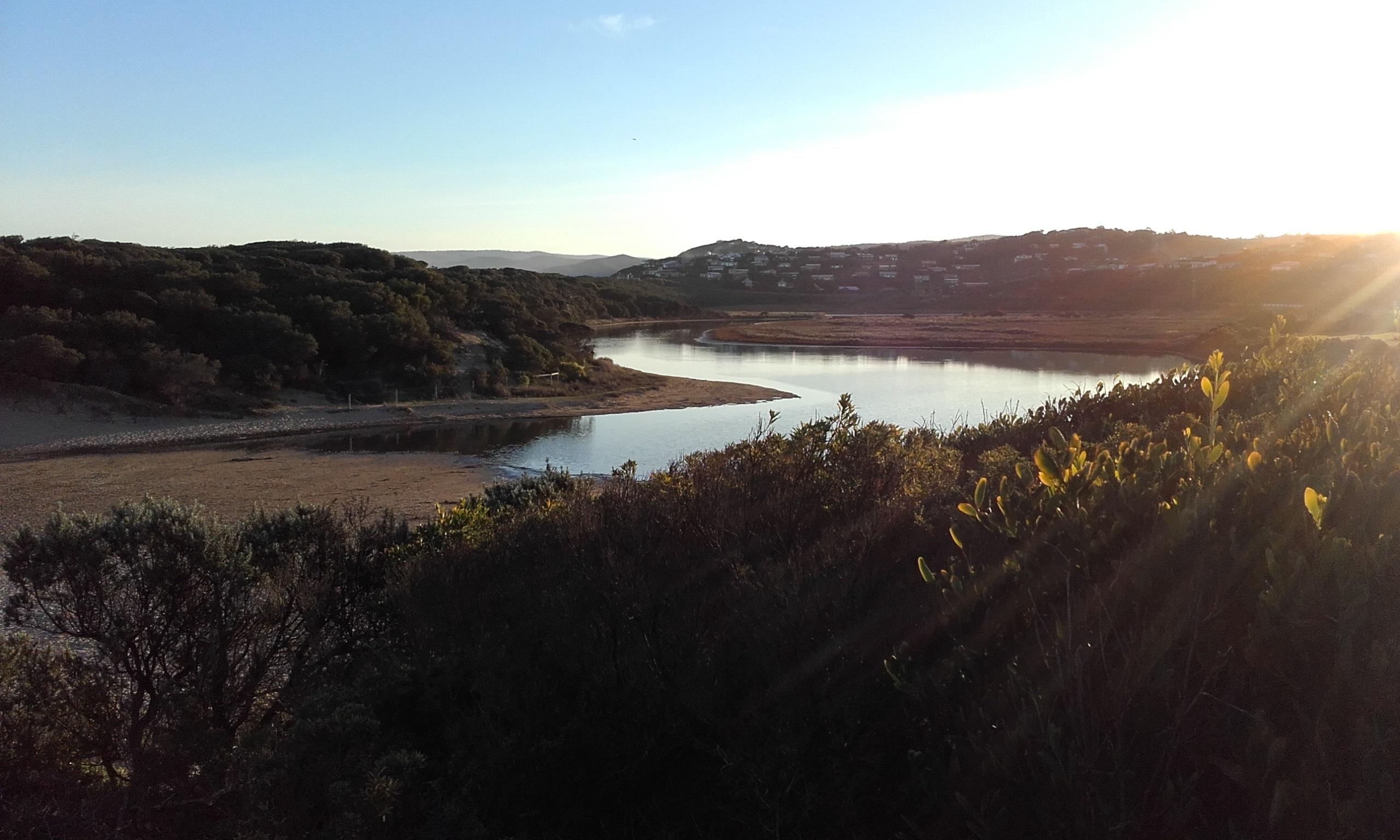
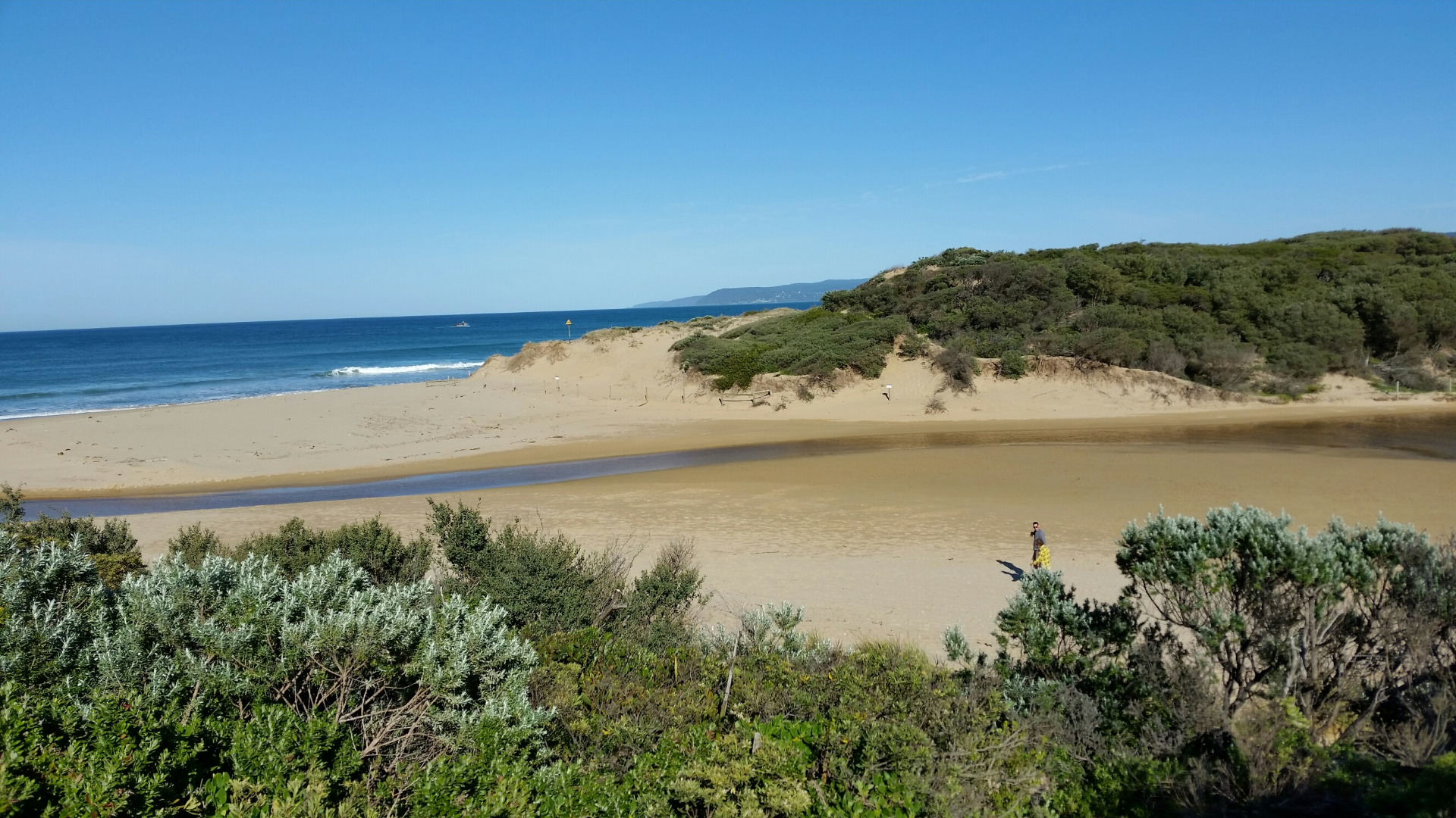
Active Mouth Condition 23-05-2007 - 11-03-2024Painkalac Creek Estuary
272 results found (Displaying 181 - 190)
| ID | Date | Status | Details | |
|---|---|---|---|---|
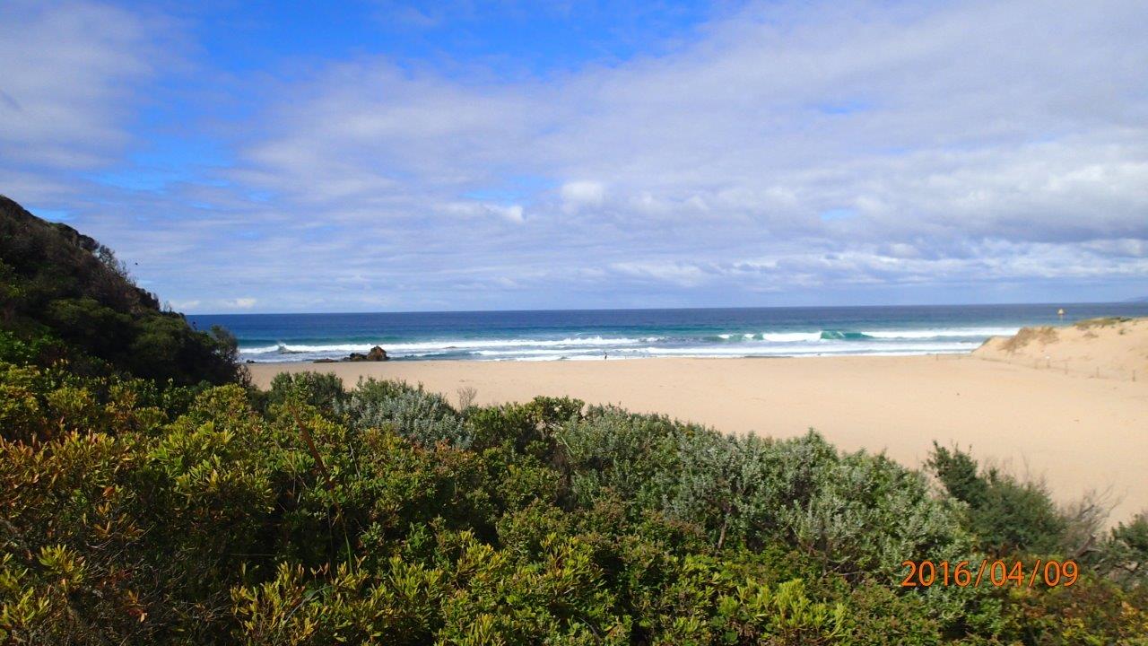
| #10245 | 9 Apr 2016 | Approved |
Notes:
Distance paced (by Graeme) from estuary to sea was 151m. Berm does not appear to be as high as on previous occasions, noting that it was near high tide, but still too high to measure with pole. |
|
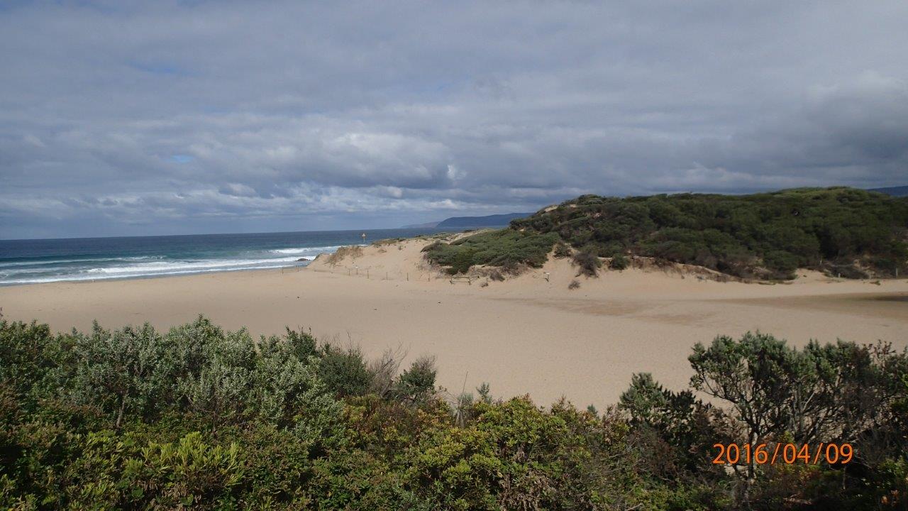
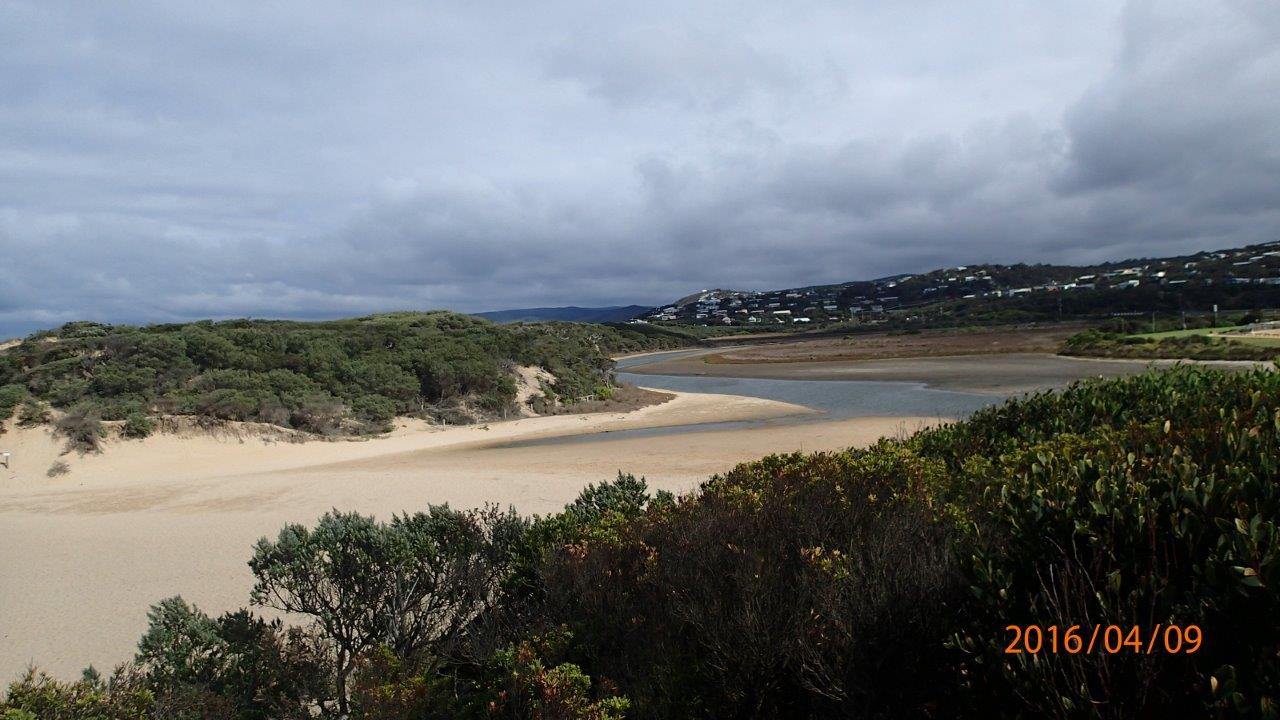
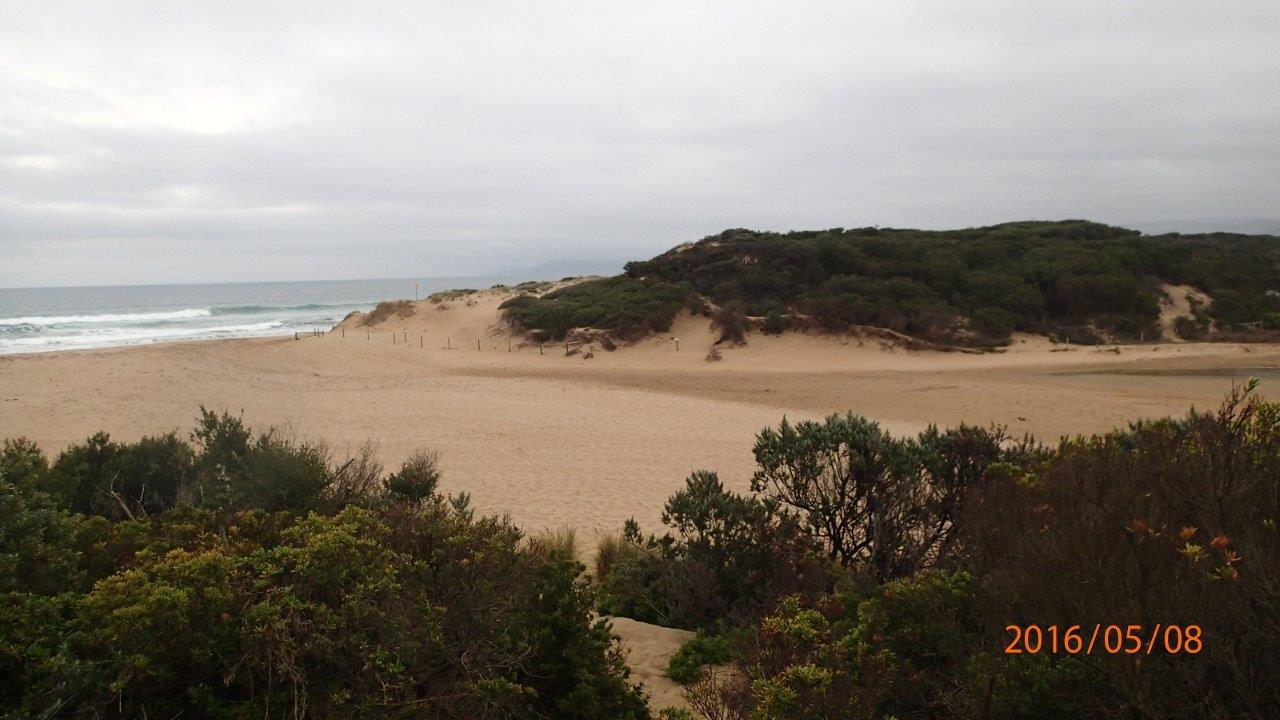
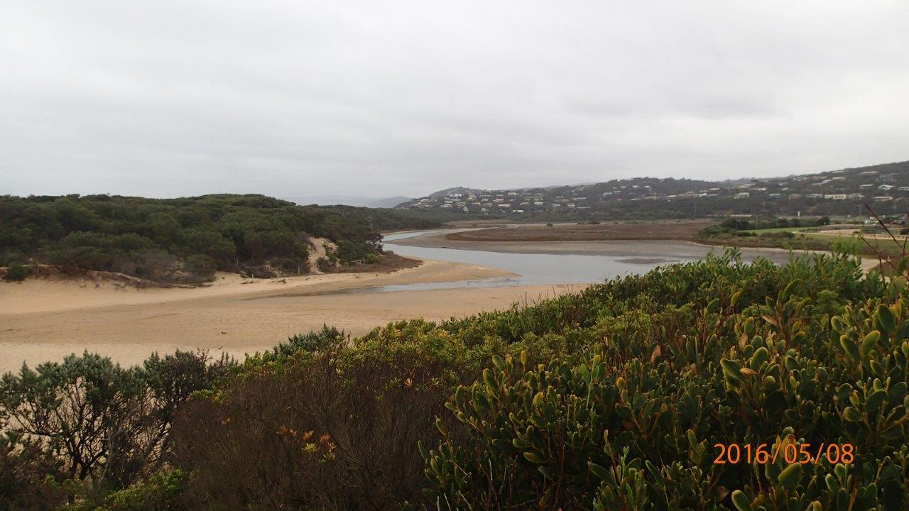
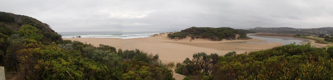
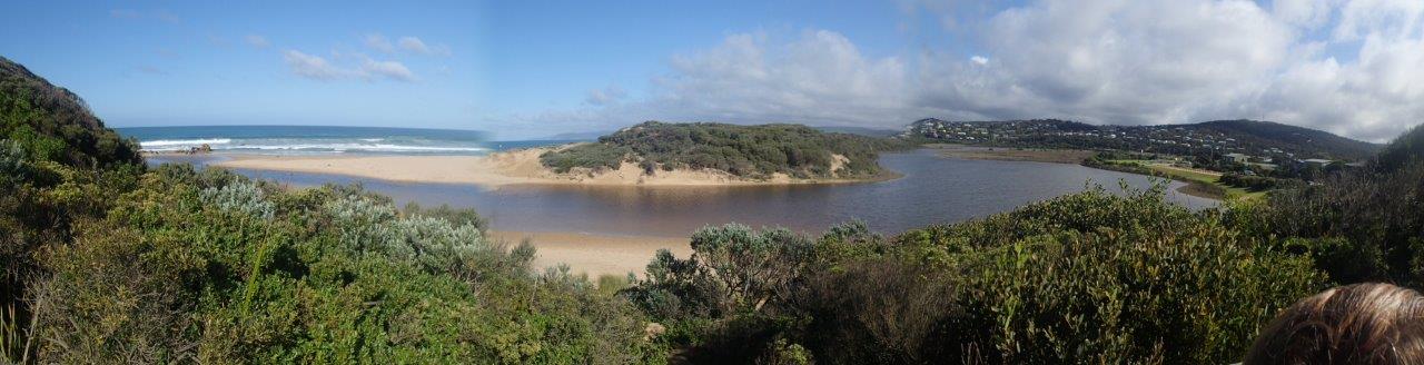
| #10294 | 8 May 2016 | Approved | Notes: Berm was not measured. You will see from photos that we cannot visualize the berm pole across the expanse of sand between the upper swash limits of estuary, and sea. | |
| #10394 | 29 May 2016 | Approved | Notes: Berm higher than me- couldn't see the sea from the rivers edge. | |
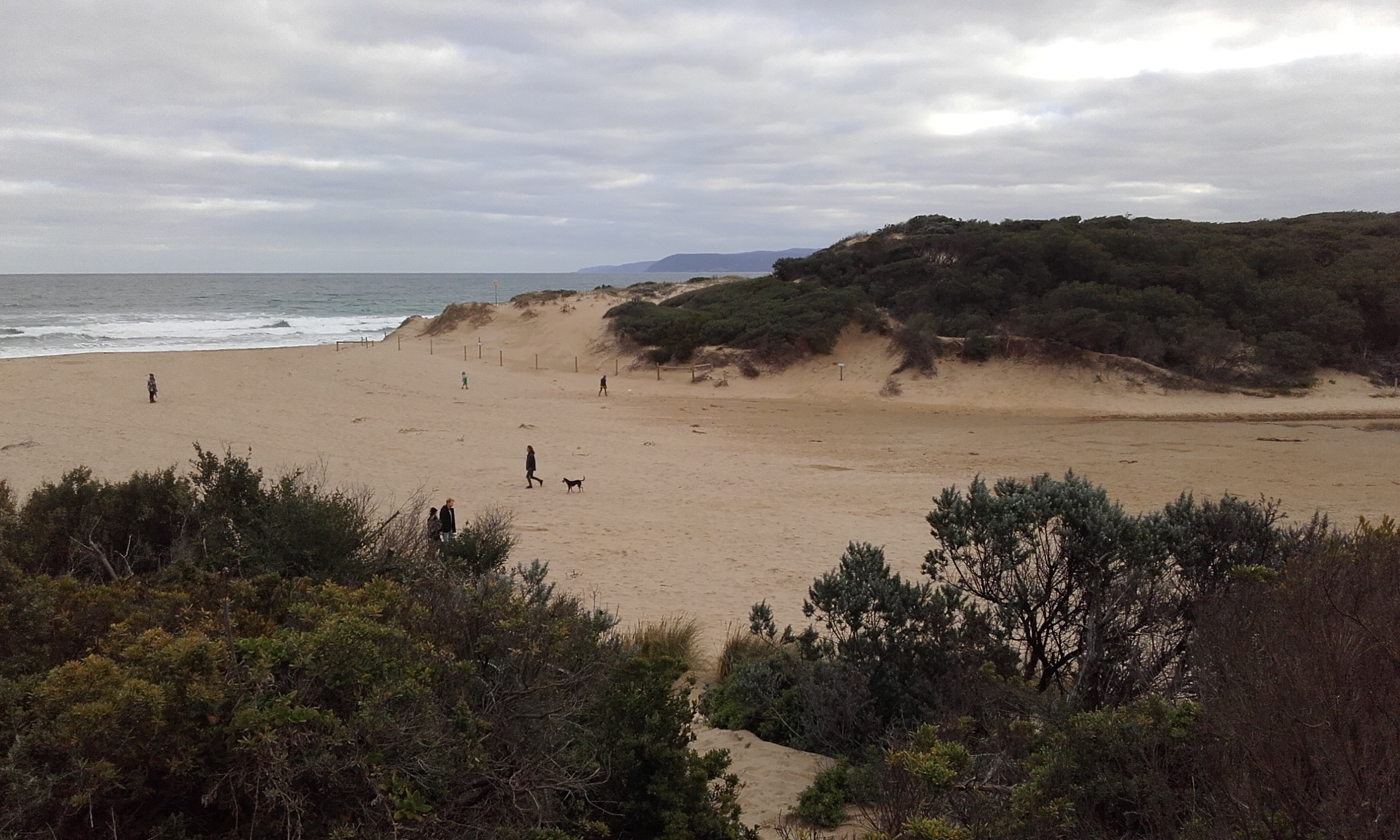
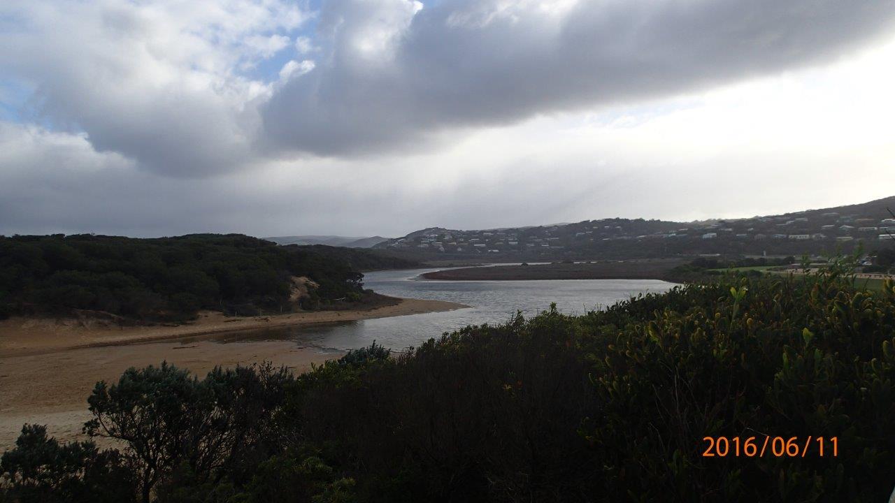
| #10360 | 11 Jun 2016 | Approved |
Notes:
Unable to measure berm-too high to use berm pole. Paced 112 m from upper swash limit at estuary to sea. Berm does not appear quite as high as in recent months. |
|
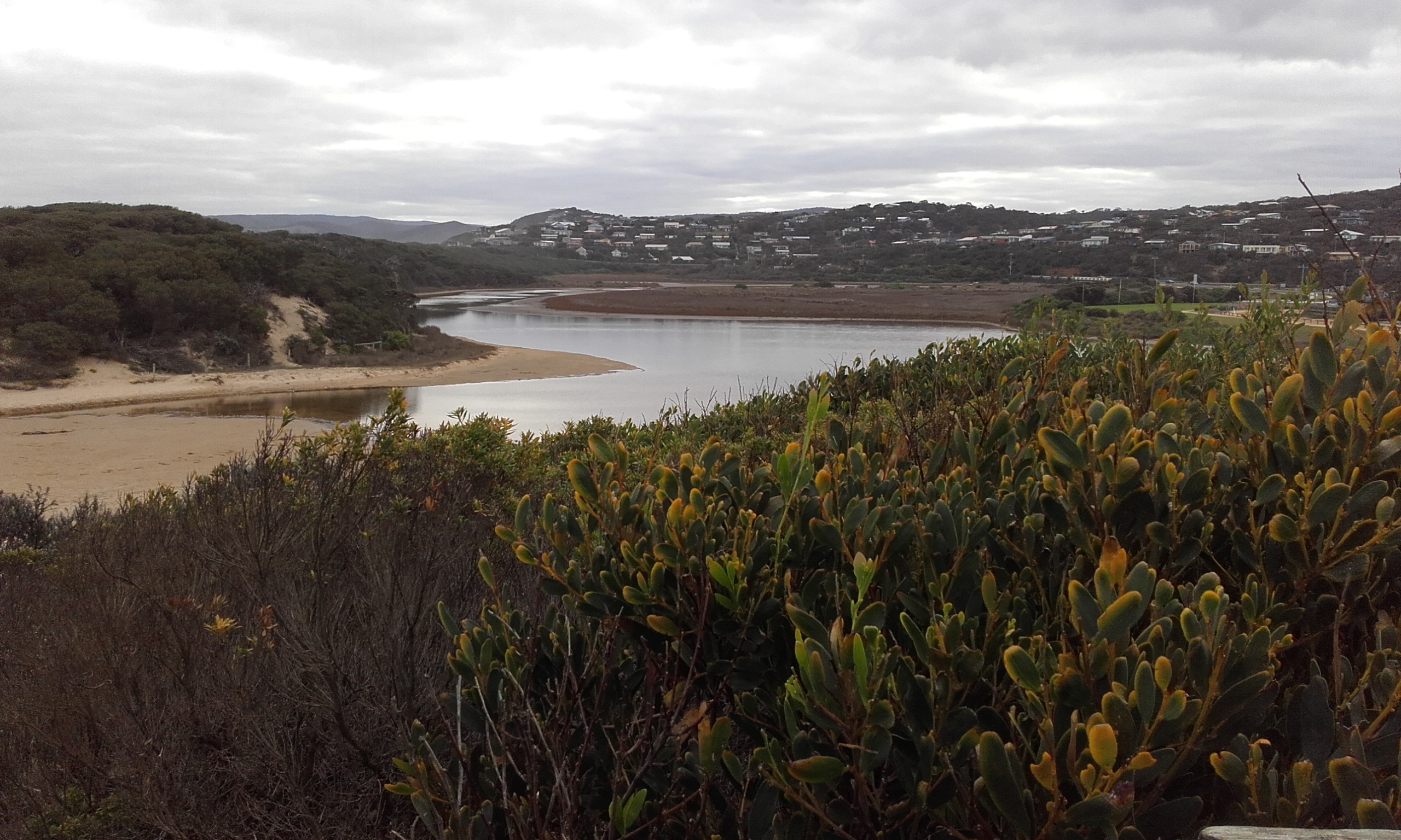
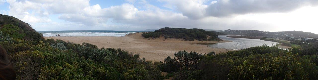
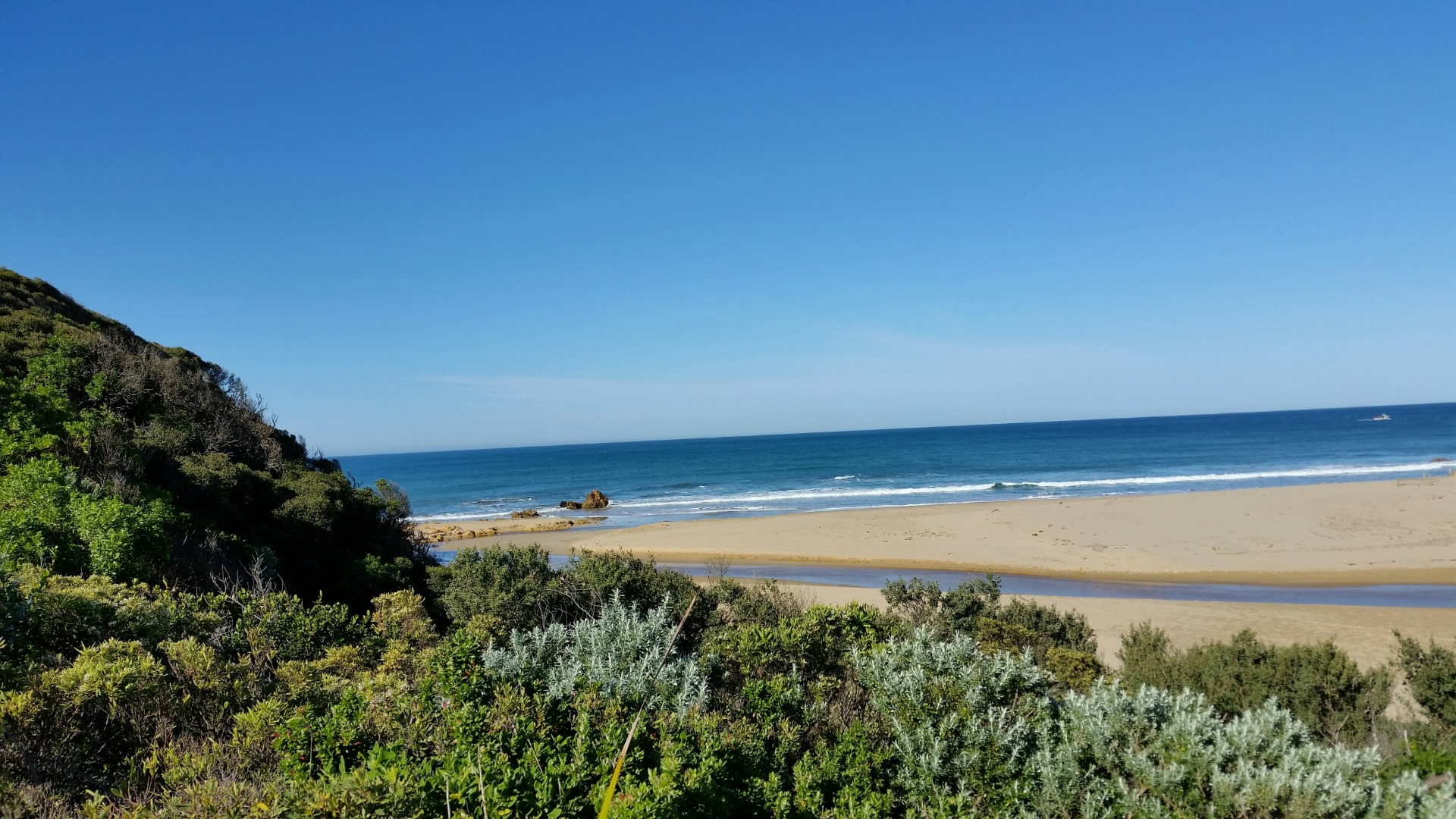
| #10395 | 13 Jun 2016 | Approved |
Notes:
Unable to see horizon above berm - so unable to measure height. 80 paces (m) from estuary to wave line. |
|
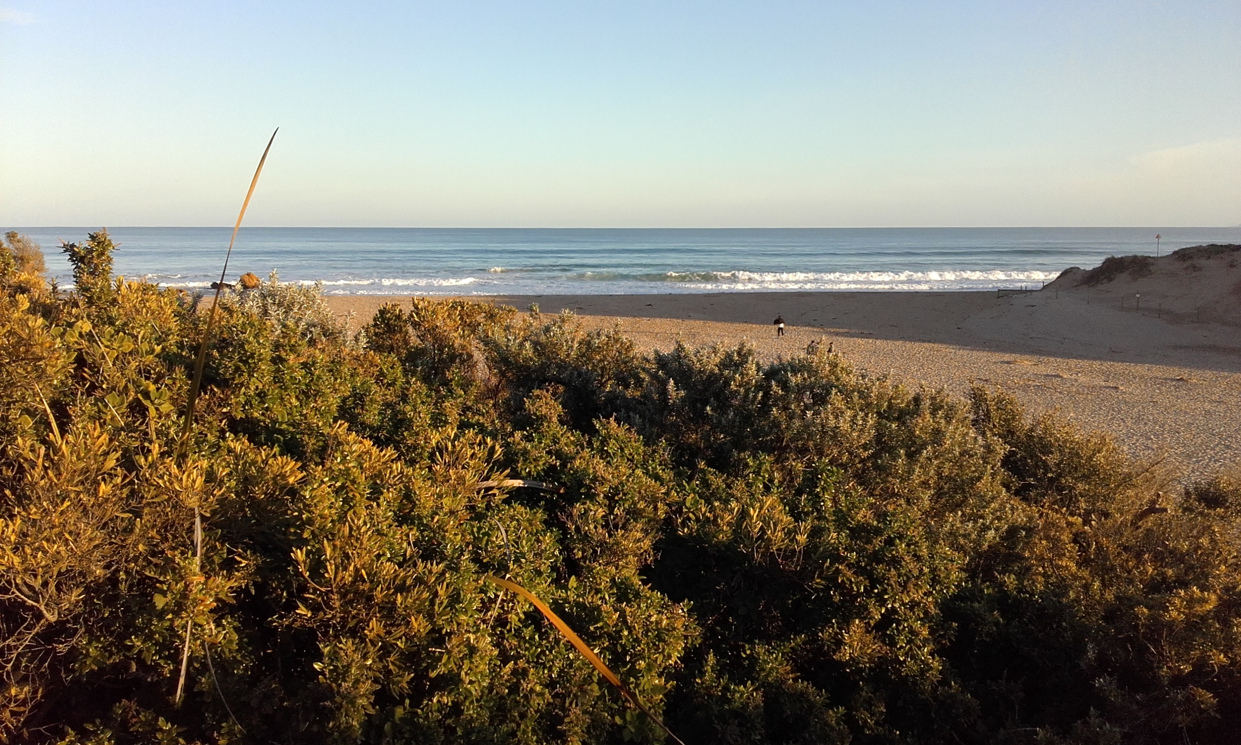
| #10403 | 3 Jul 2016 | Approved |
Notes:
Berm to high to measure using the berm pole. Berm length is 85m.
|
|
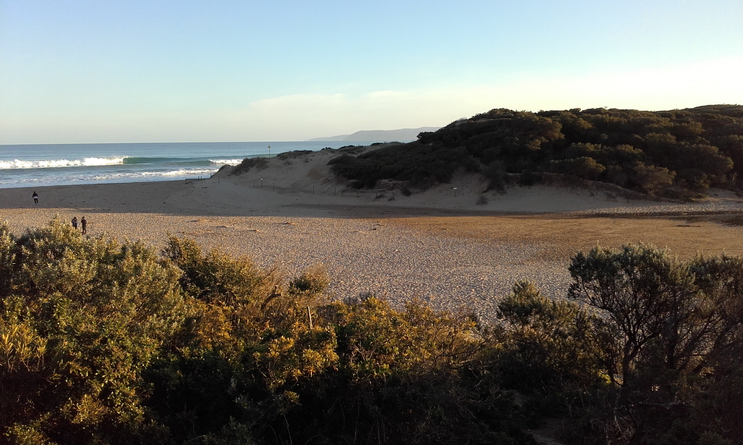
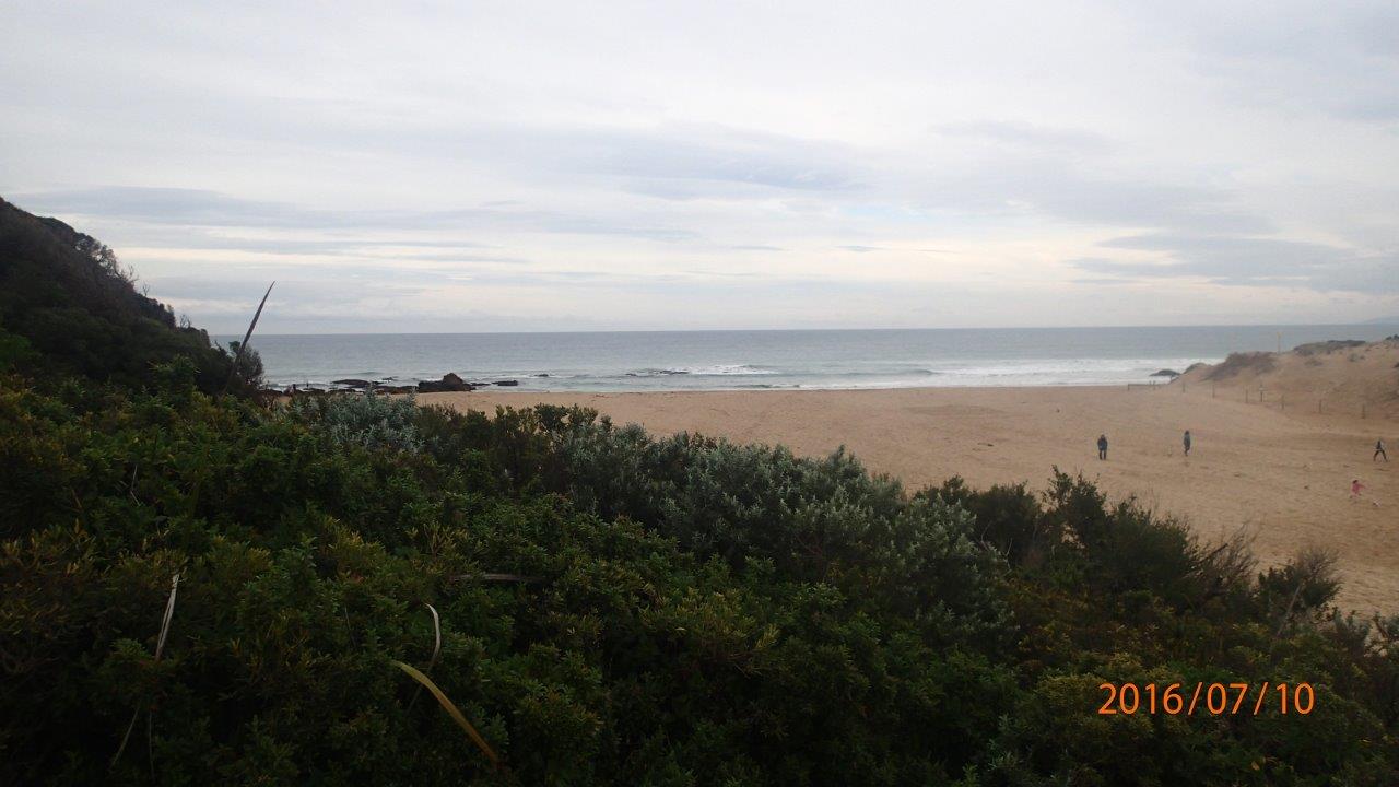
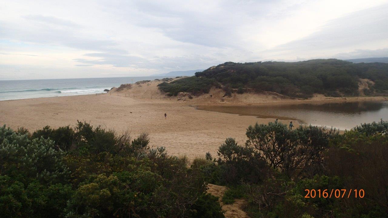
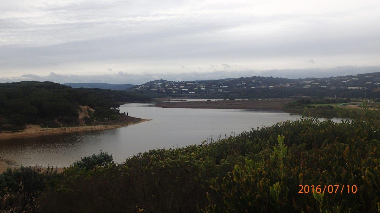
| #10618 | 10 Jul 2016 | Approved | ||
| #10617 | 25 Jul 2016 | Approved |
Notes:
|
|
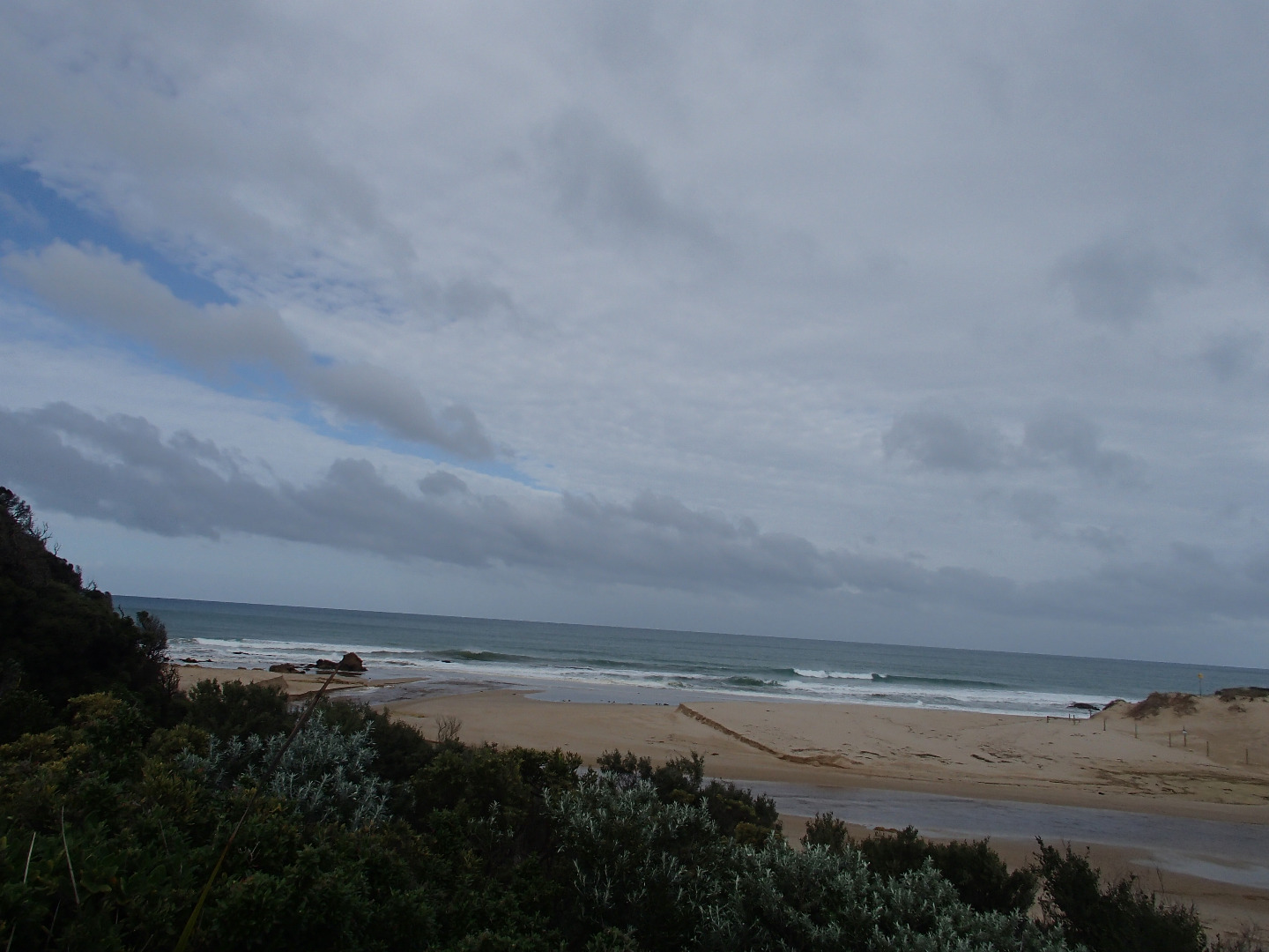
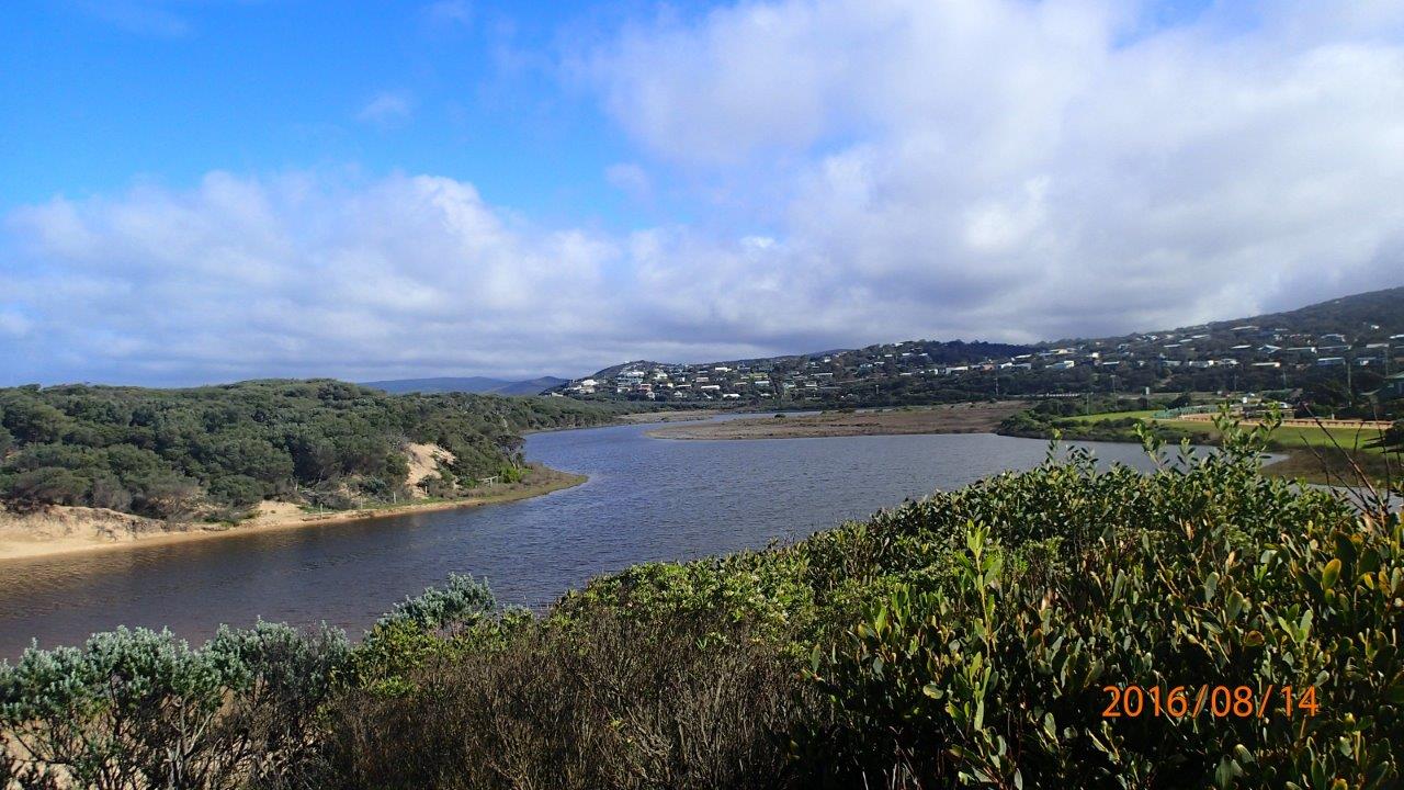
| #10516 | 14 Aug 2016 | Approved |
Notes:
At the time of monitoring estuary was not actually open, but evidence of over-topping at medium-high tide. Only a couple of metres of flat sand between swash limits, no berm to measure. |
|
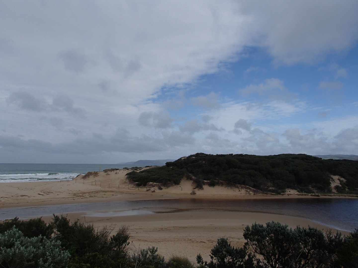
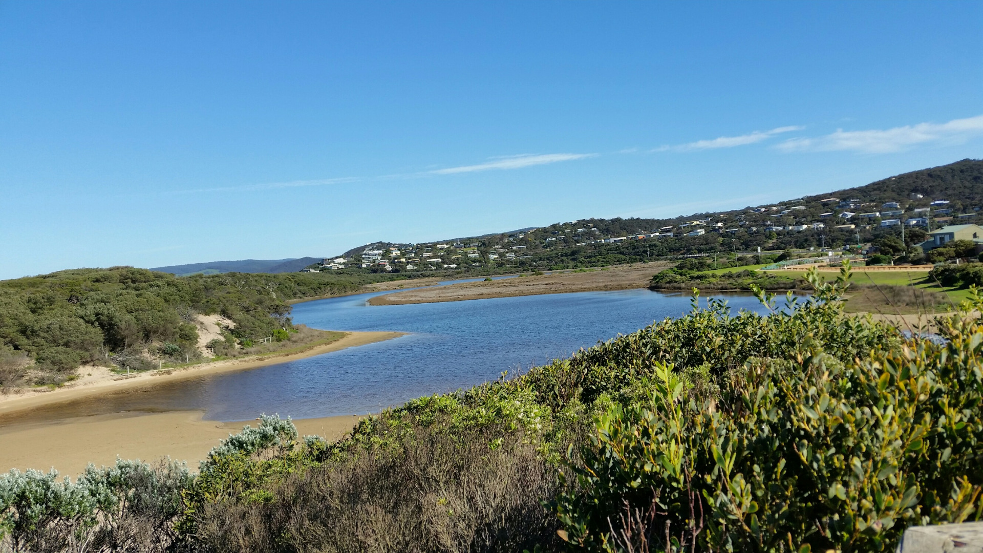
| #10495 | 18 Aug 2016 | Approved |
Notes:
Two large sandstone structures. One on left has gone. Must have collapsed. Located to the left of the estuary. Good flow. |
|


All content, files, data and images provided by the EstuaryWatch Data Portal and Gallery are subject to a Creative Commons Attribution License
Content is made available to be used in any way, and should always attribute EstuaryWatch and www.estuarywatch.org.au