EstuaryWatch Data Portal
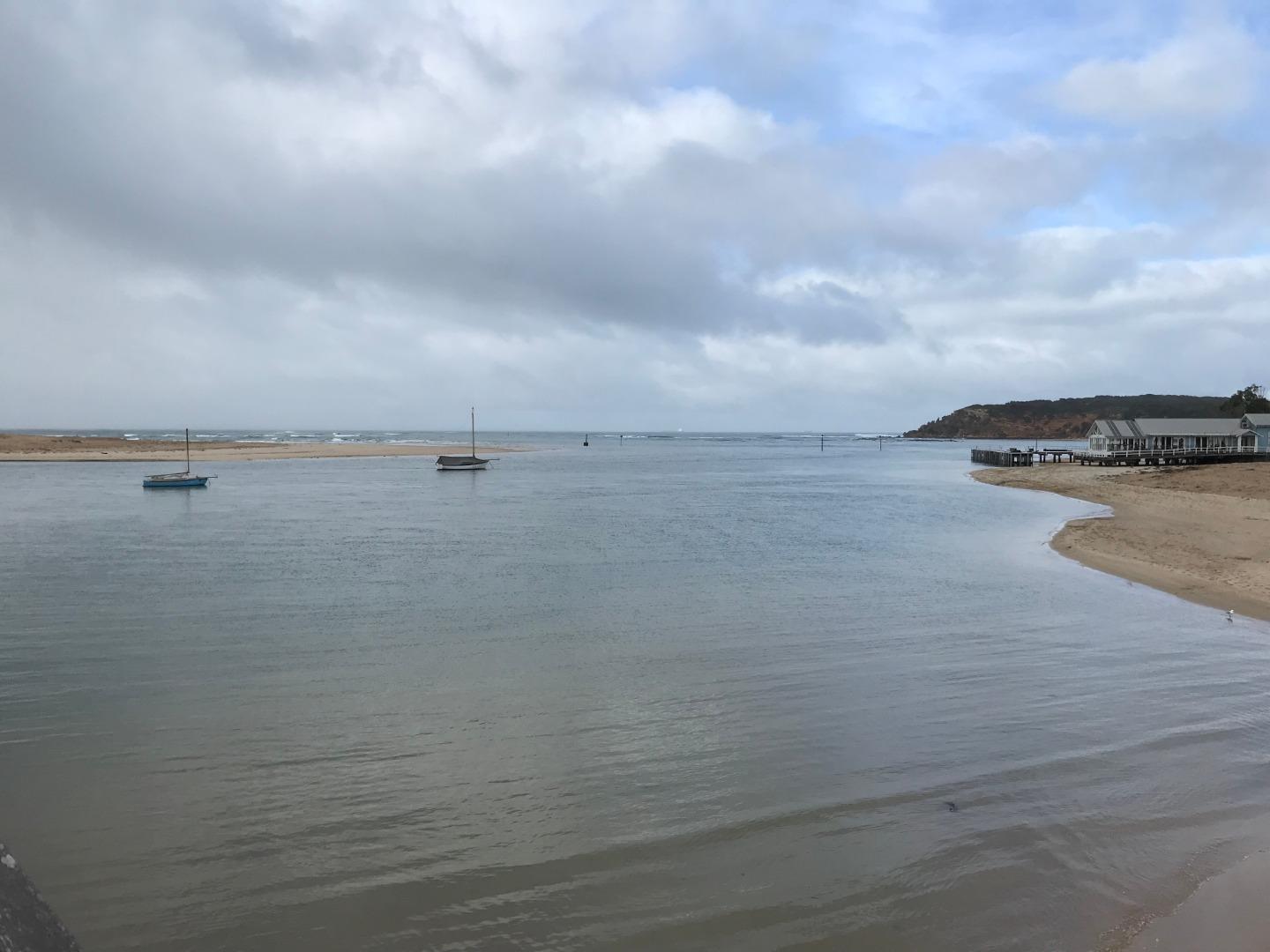
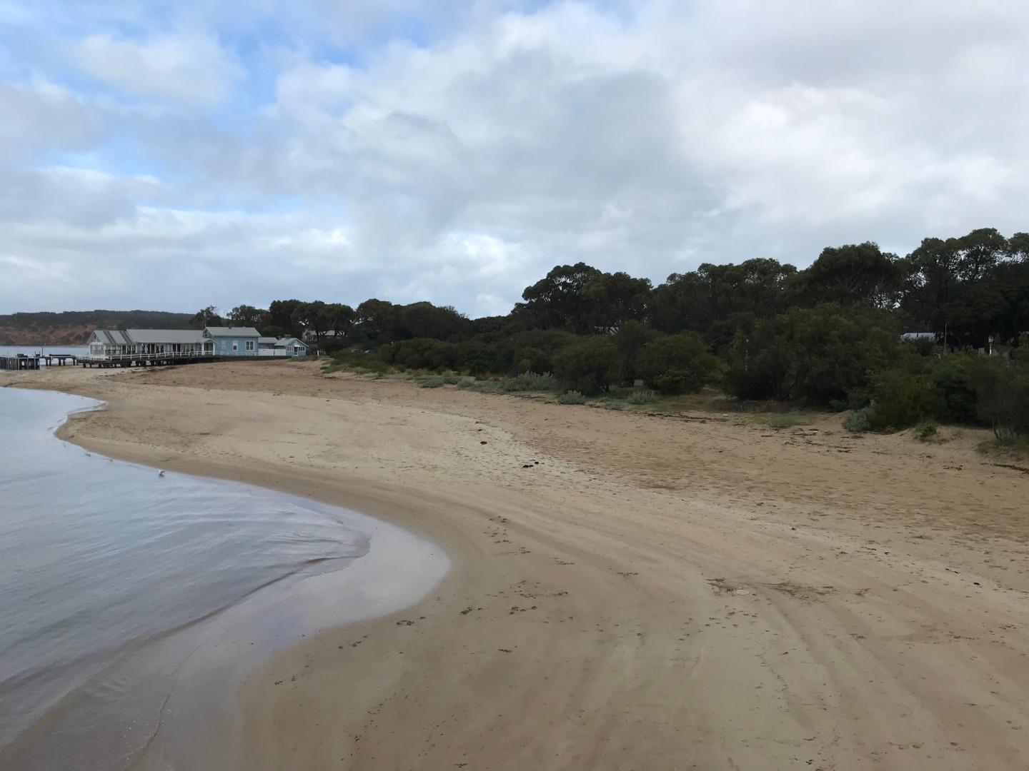
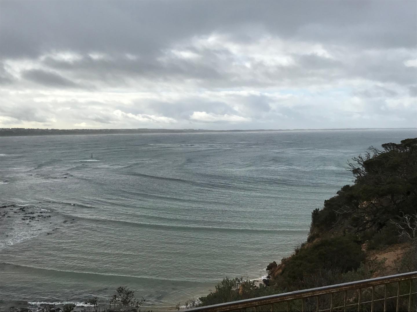
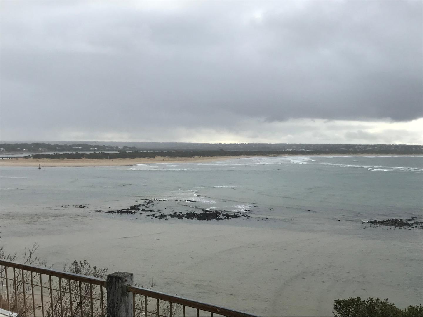
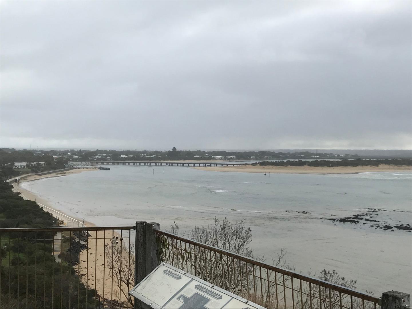
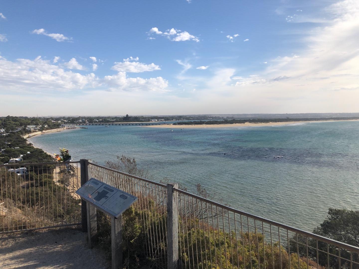
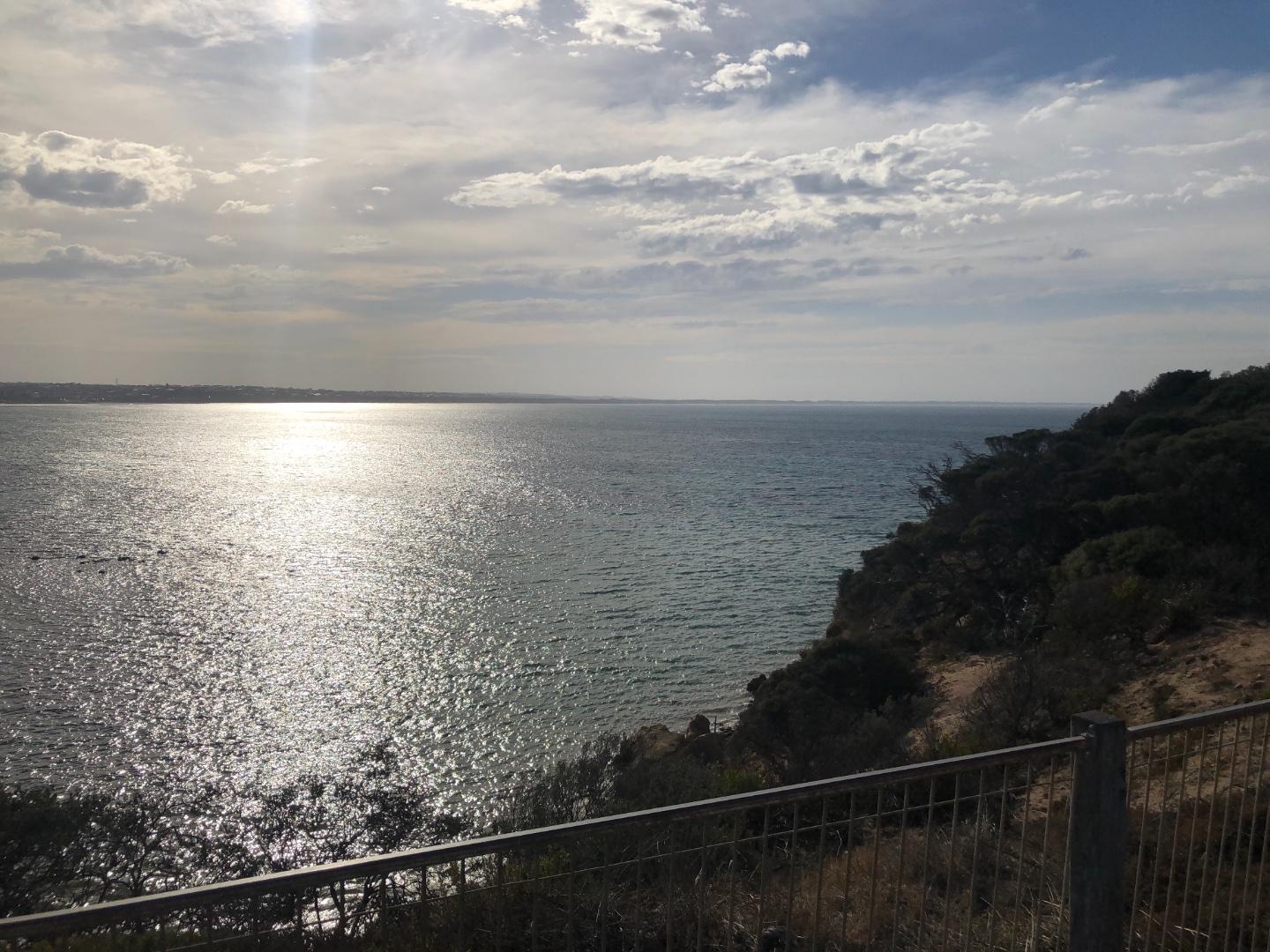
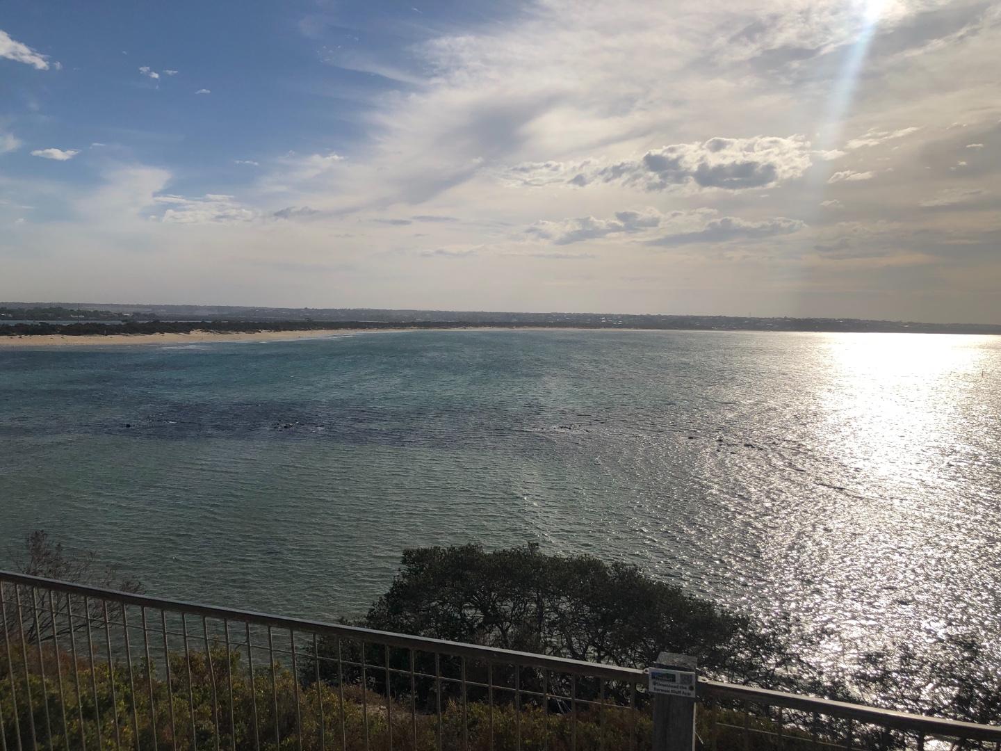
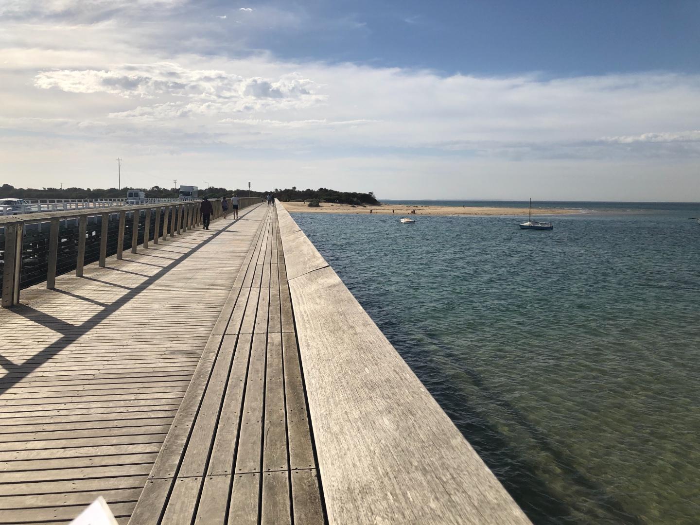
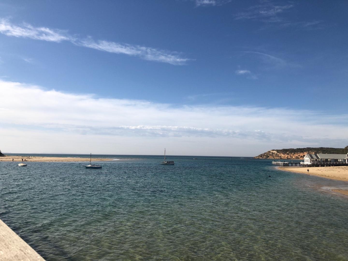
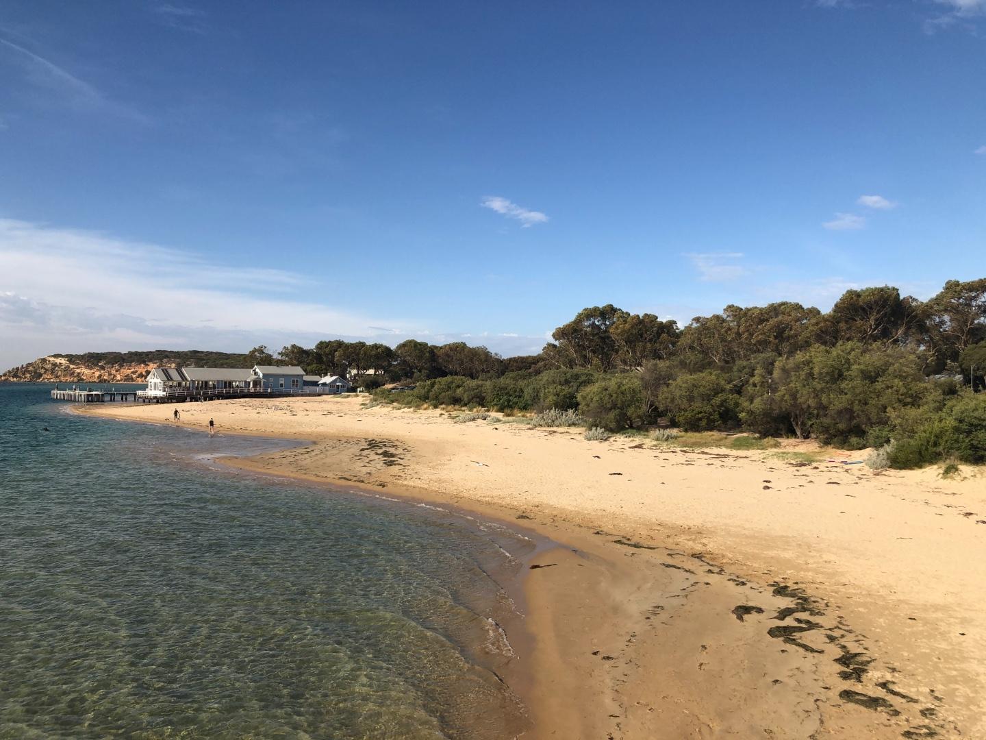
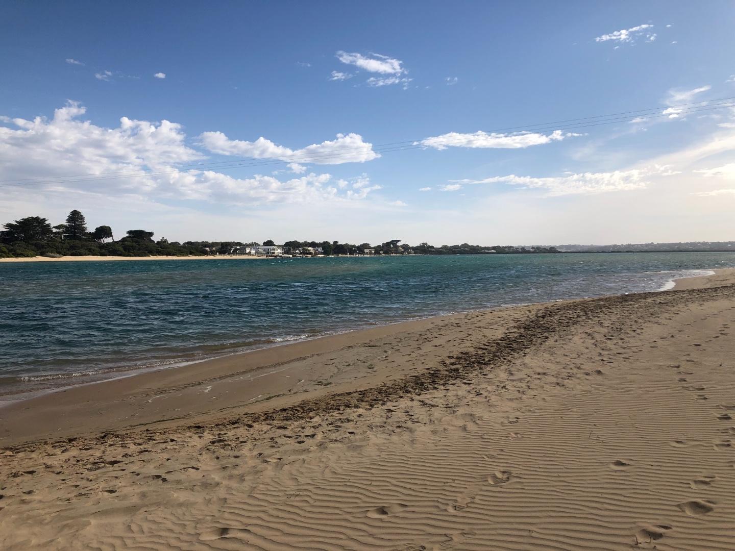
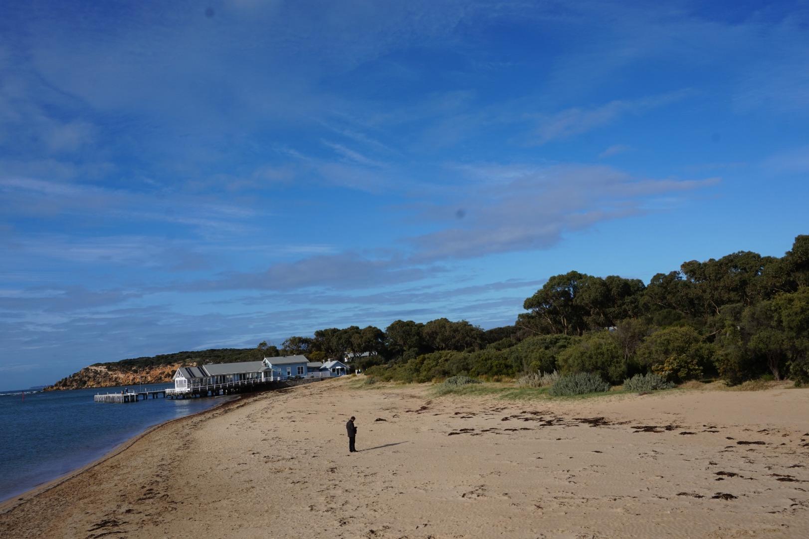
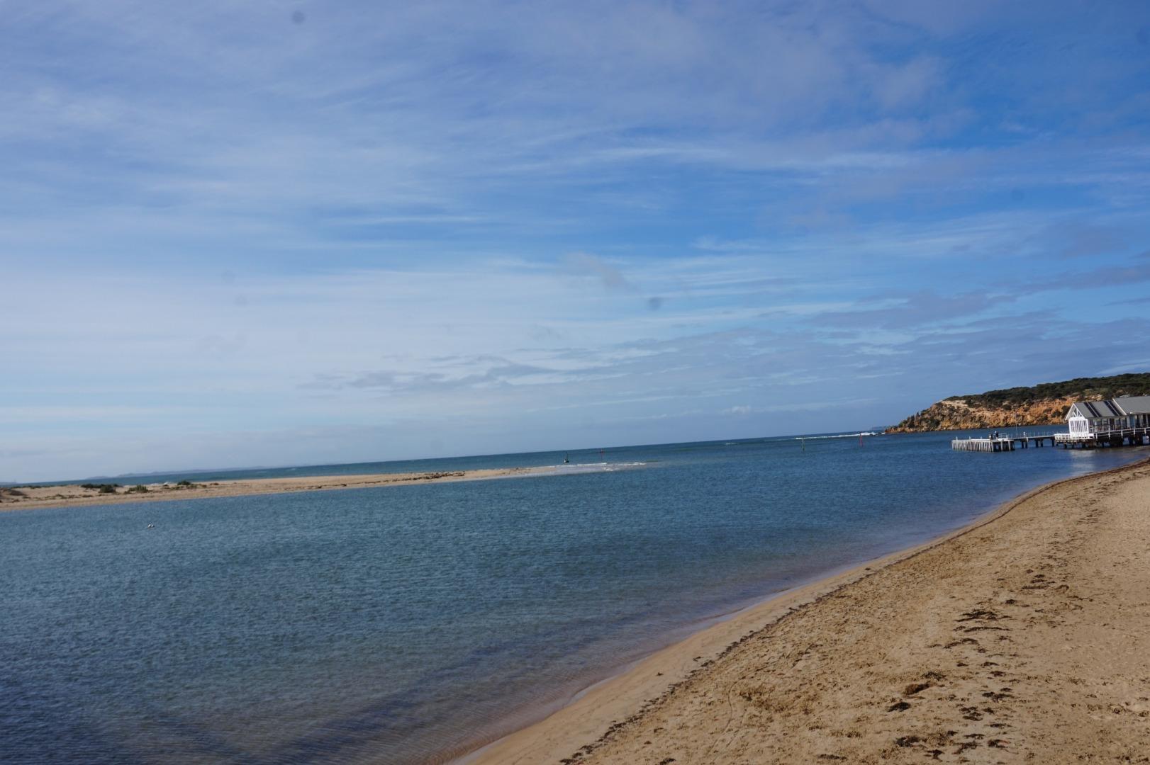
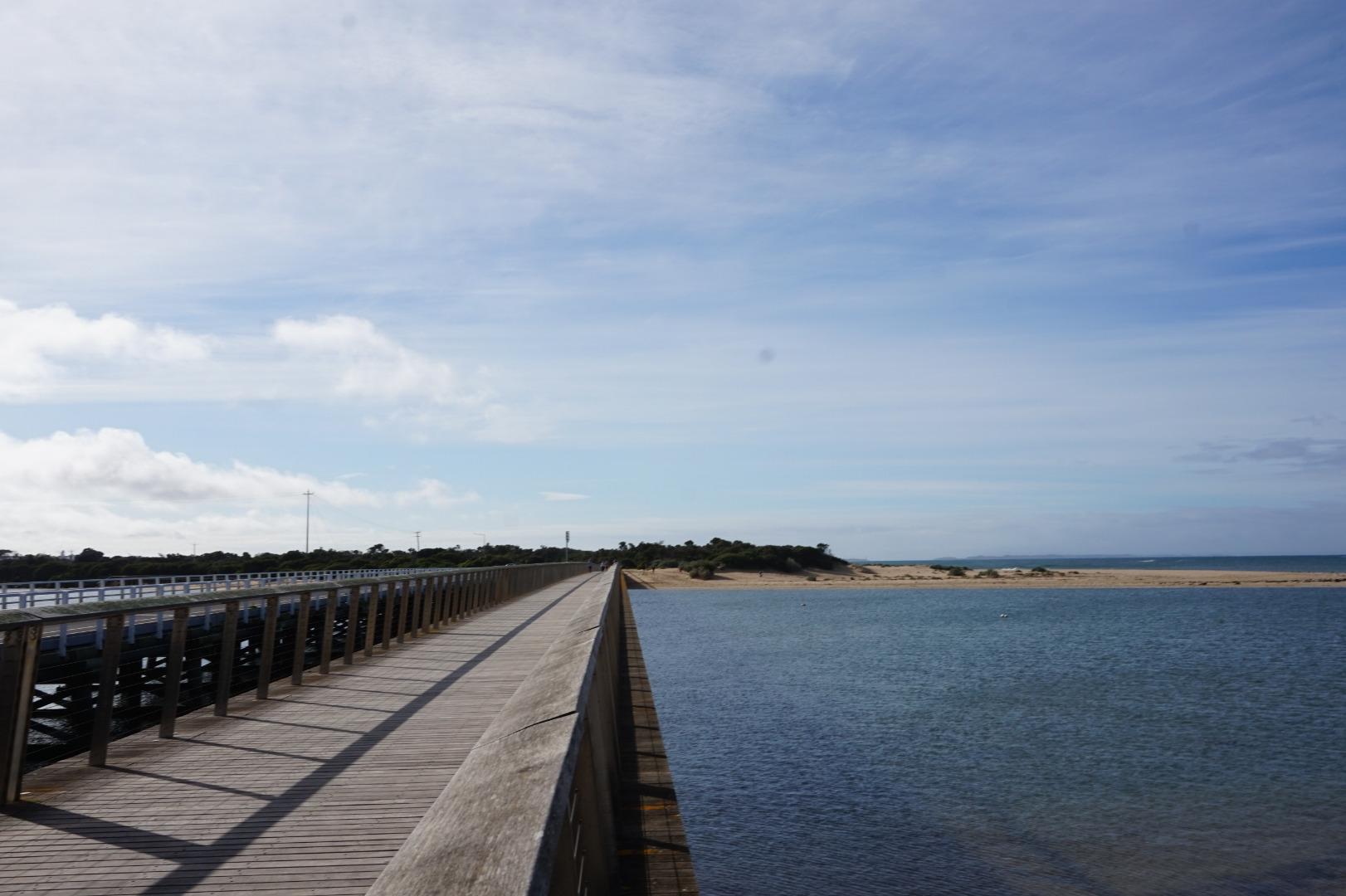
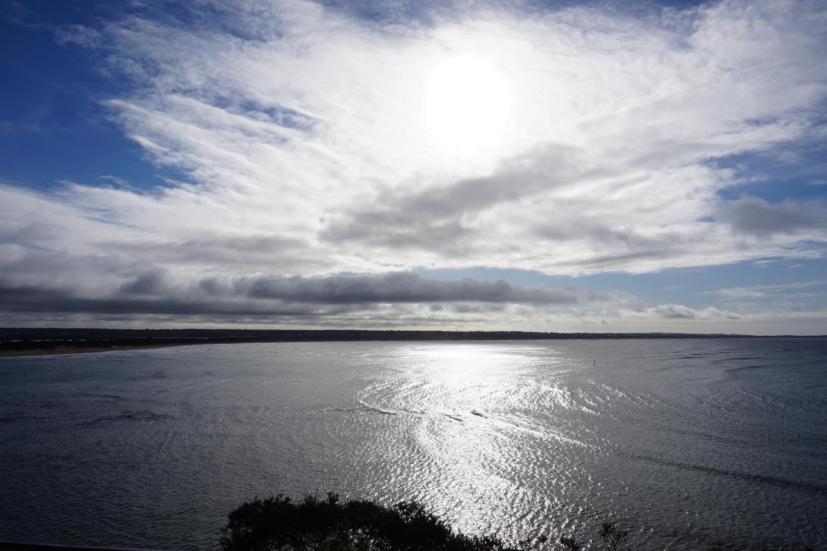
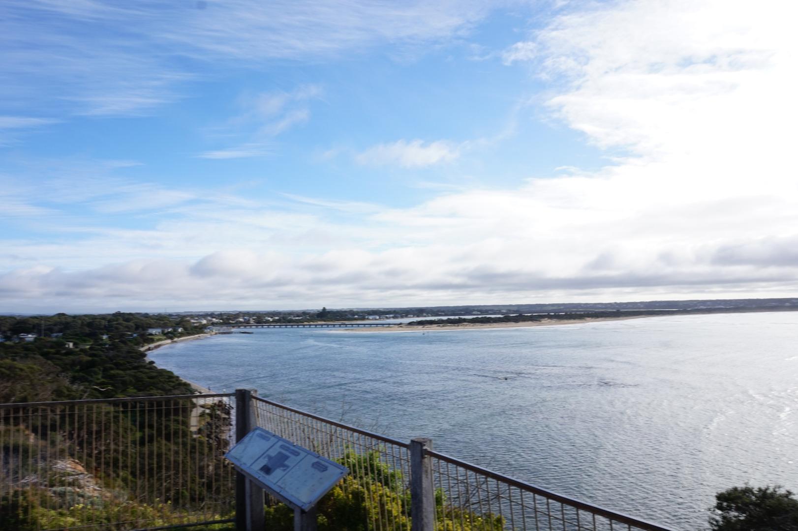
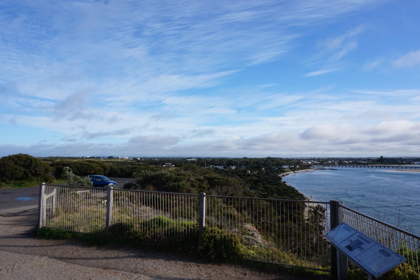
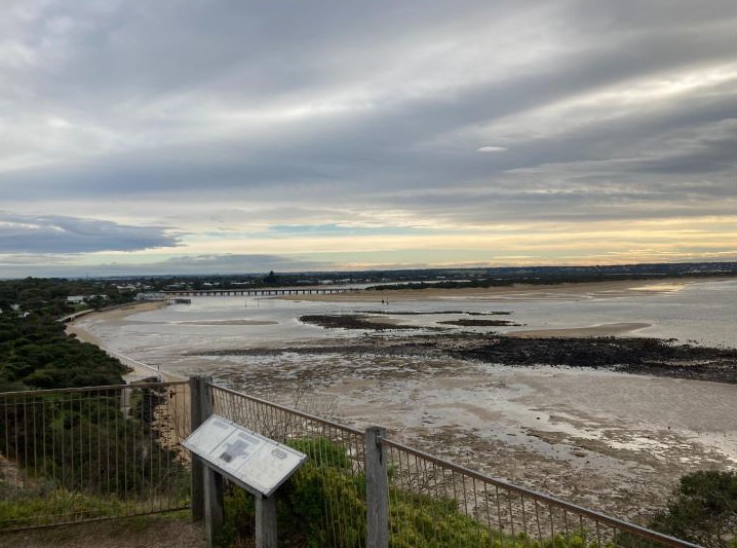
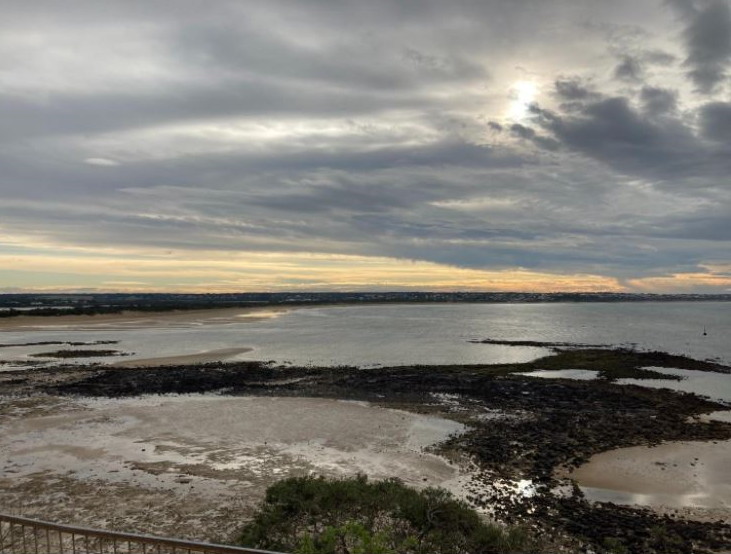
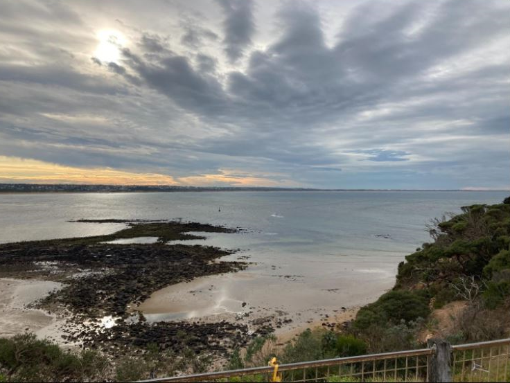
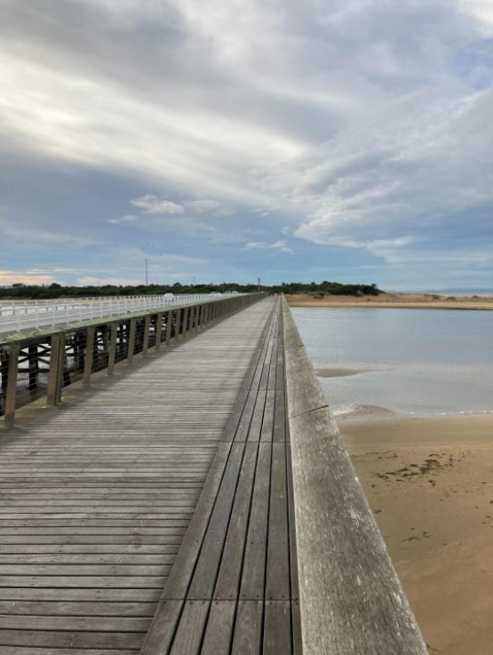
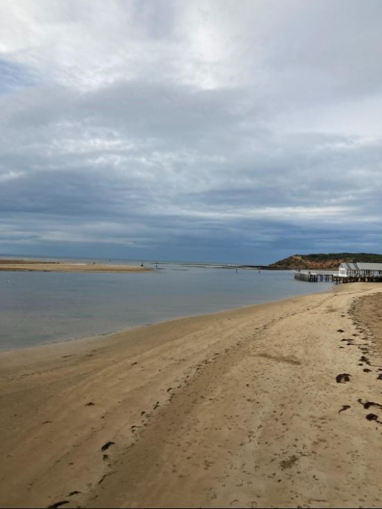
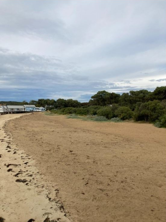
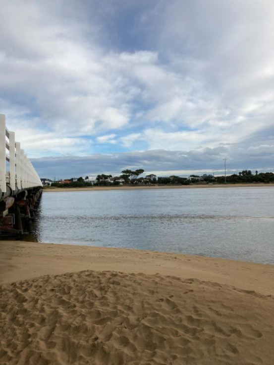
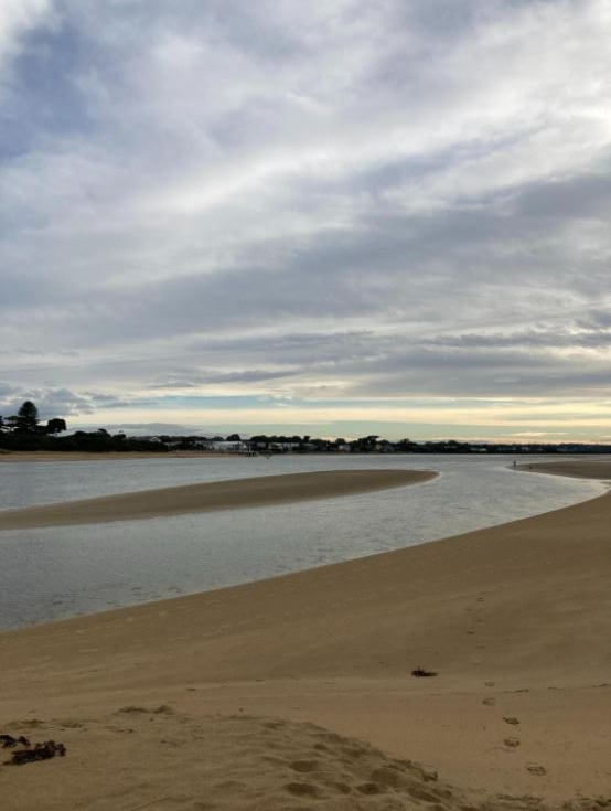
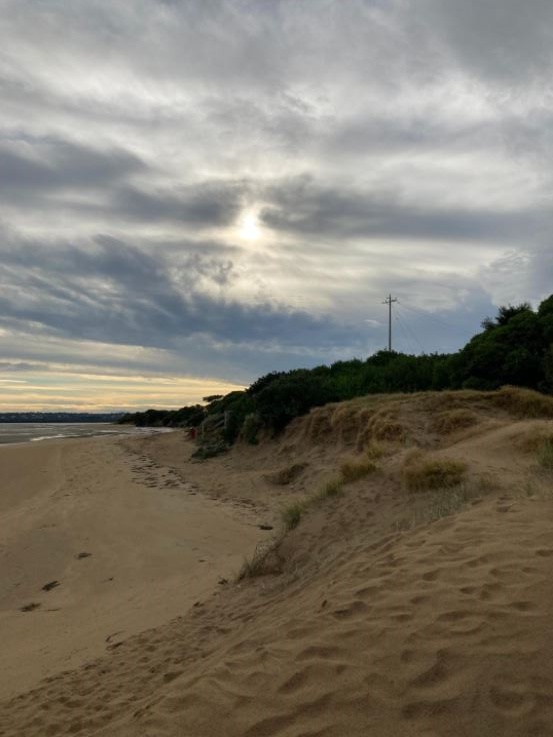
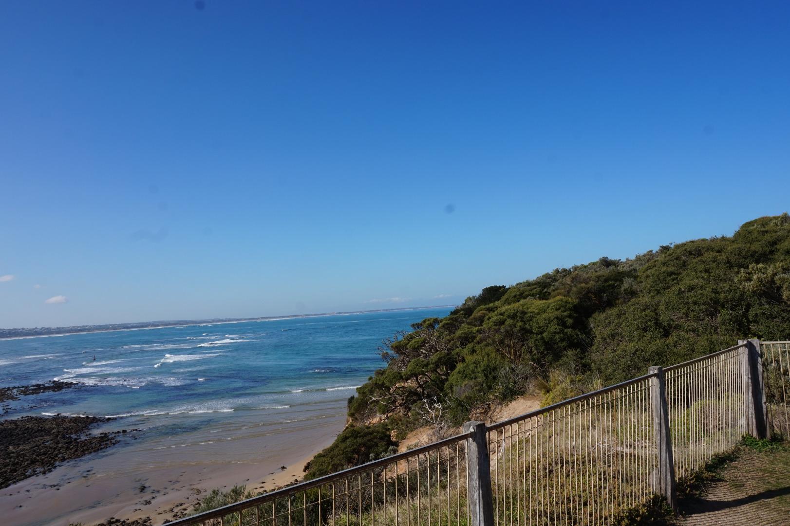
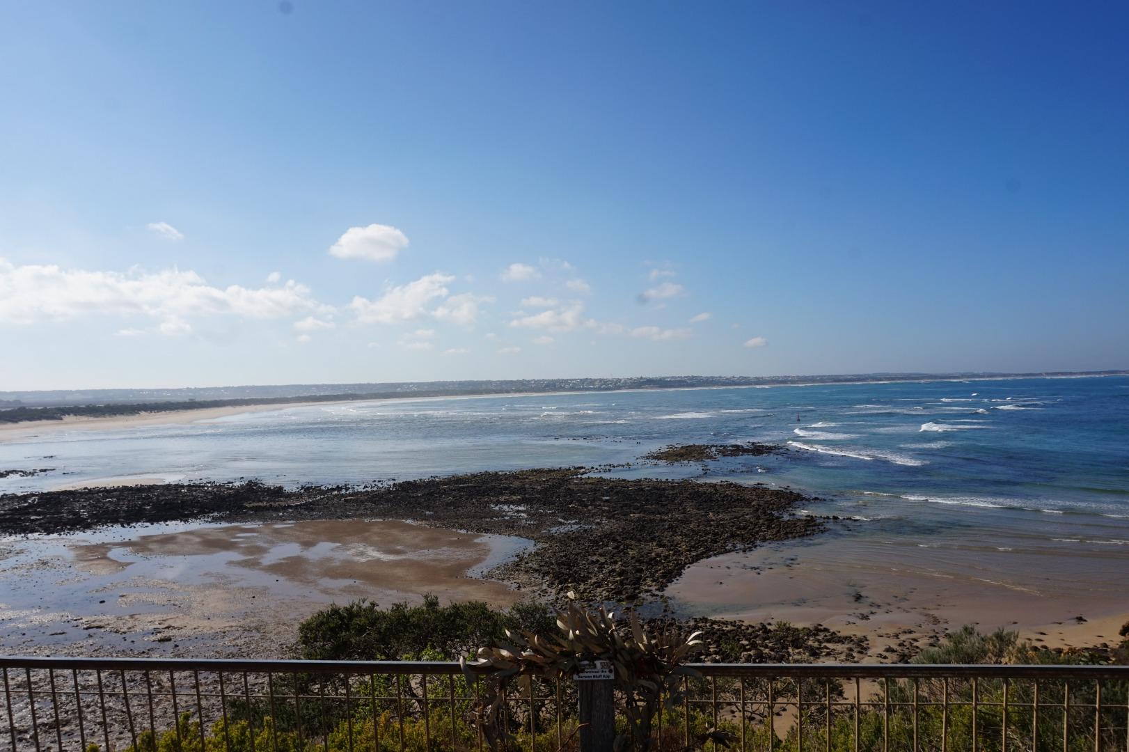
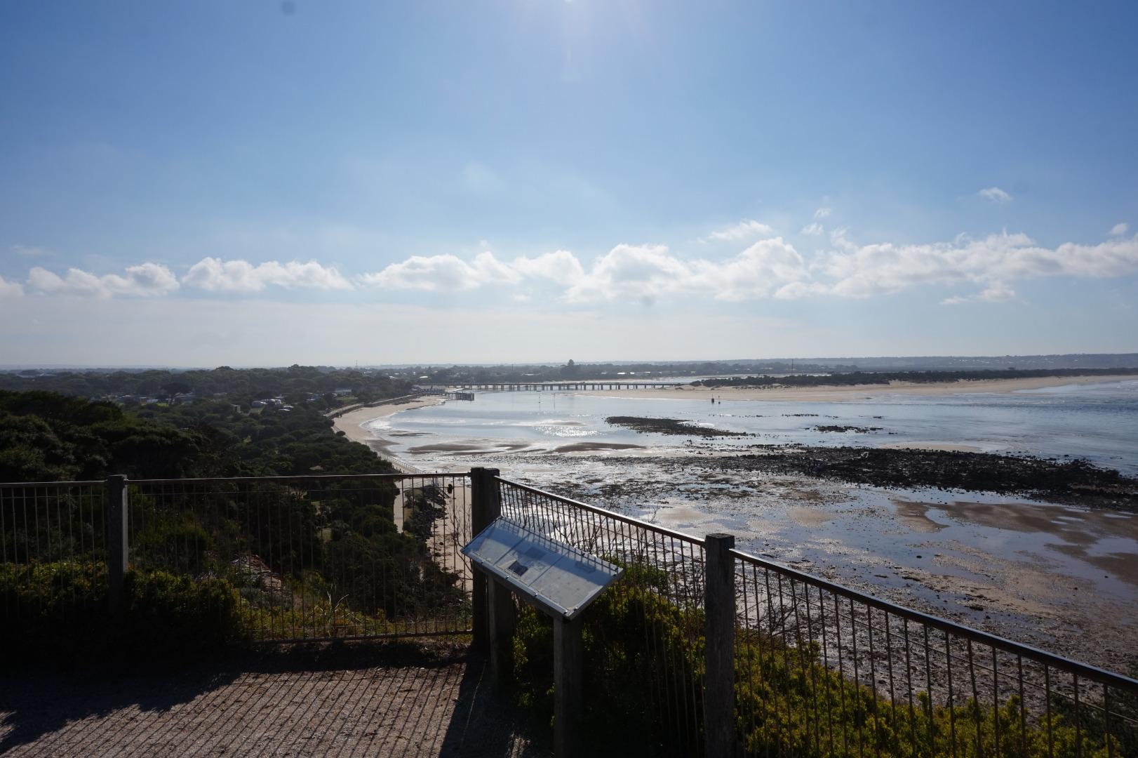
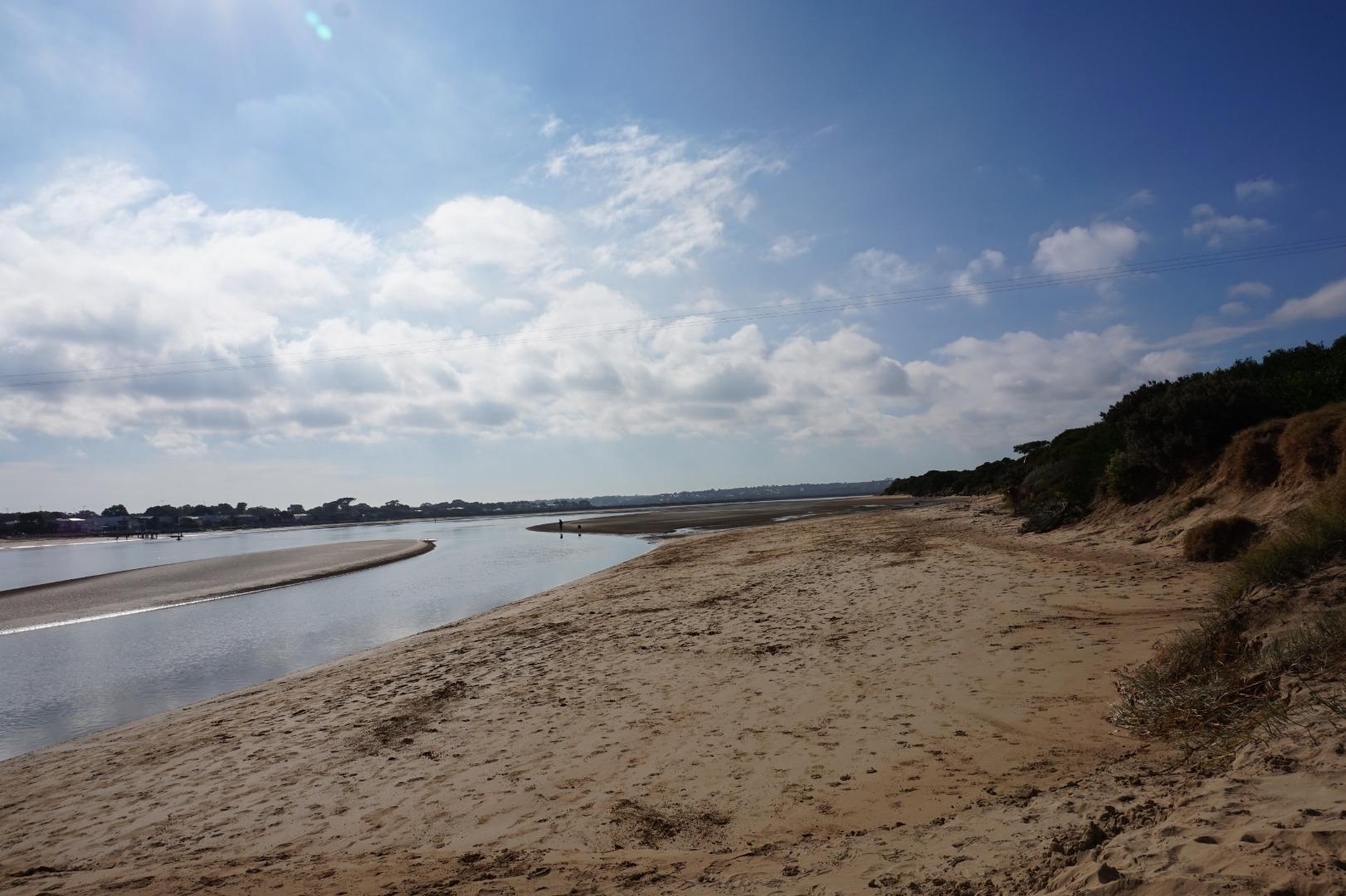
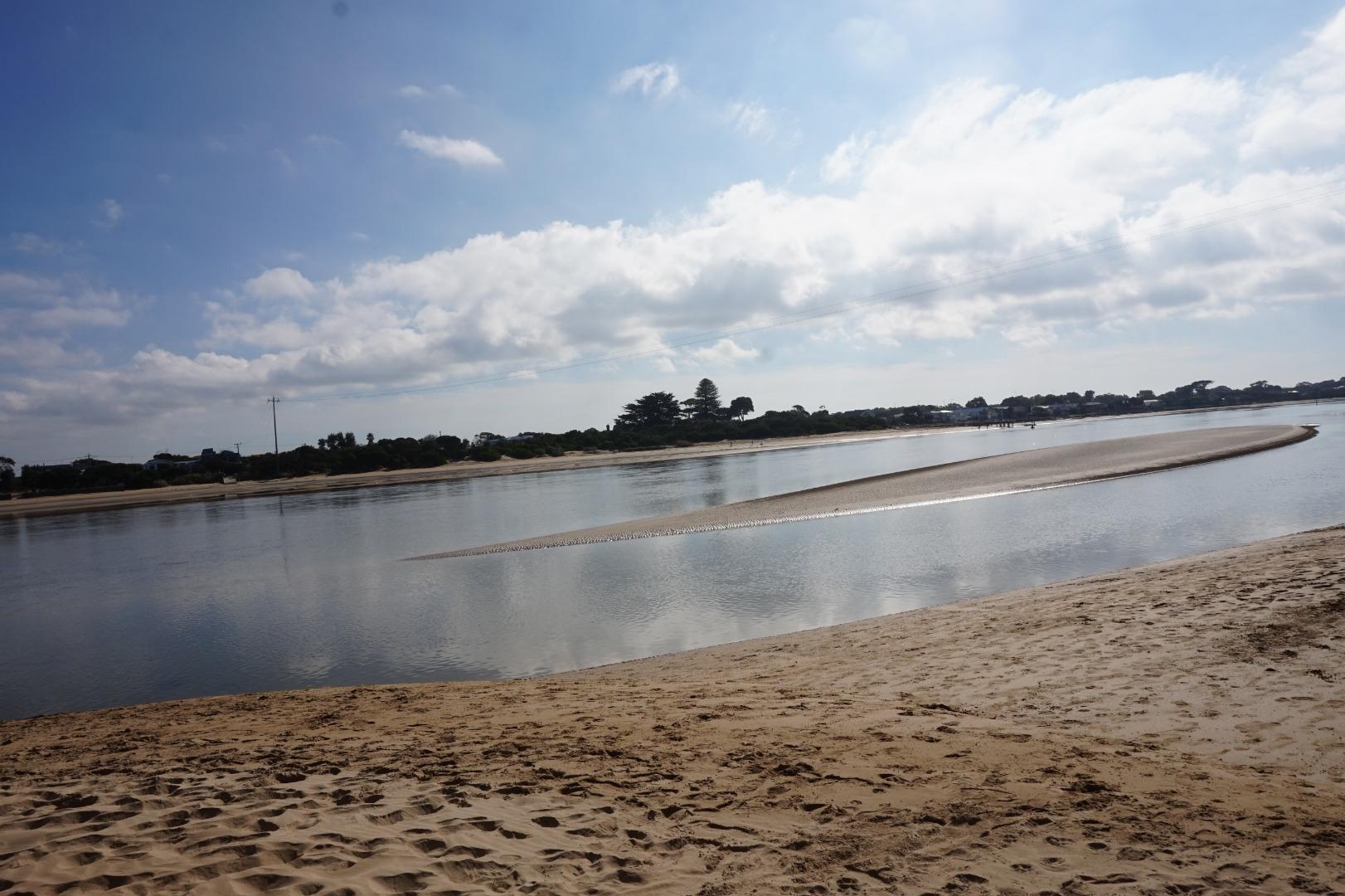
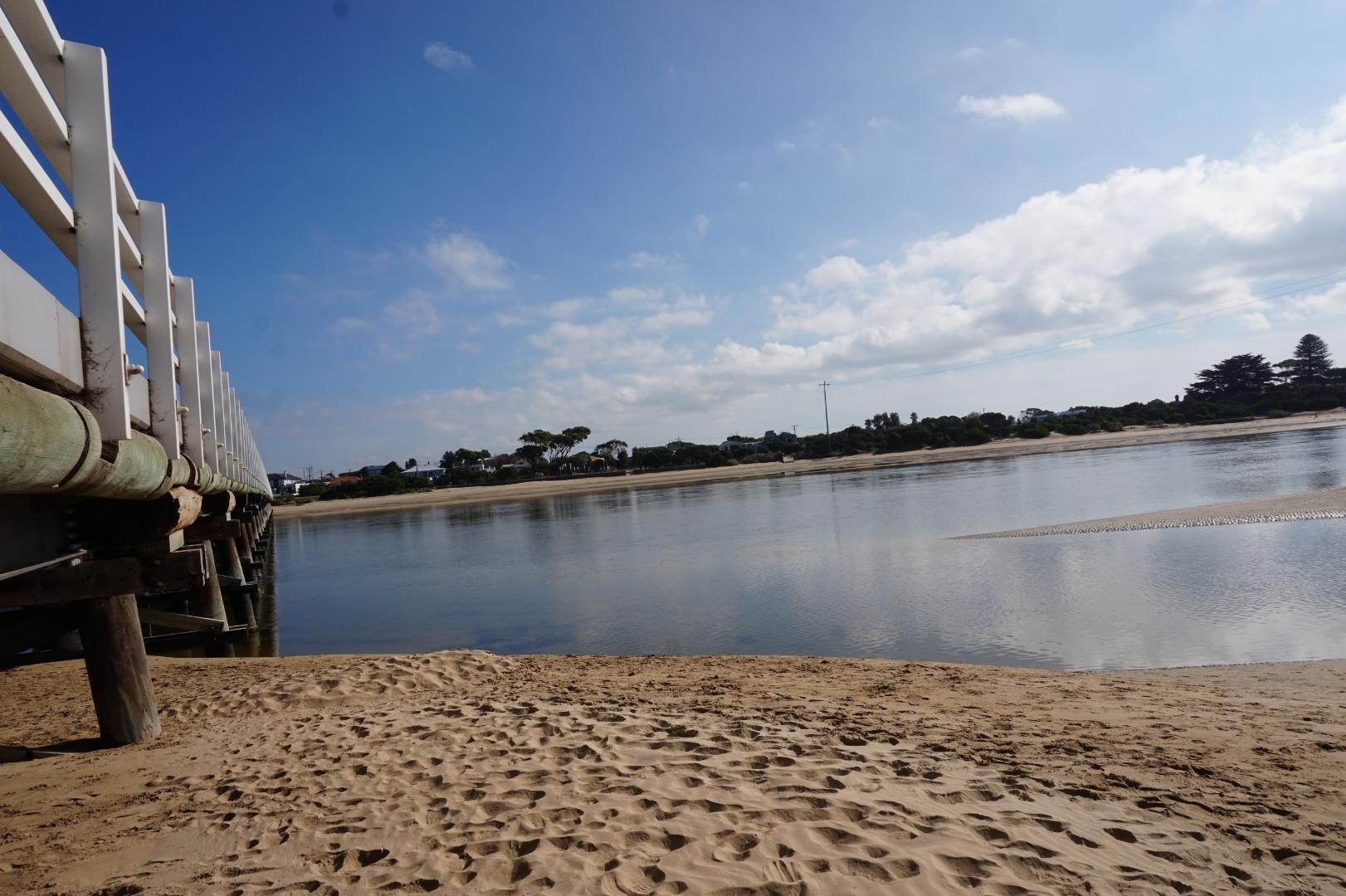
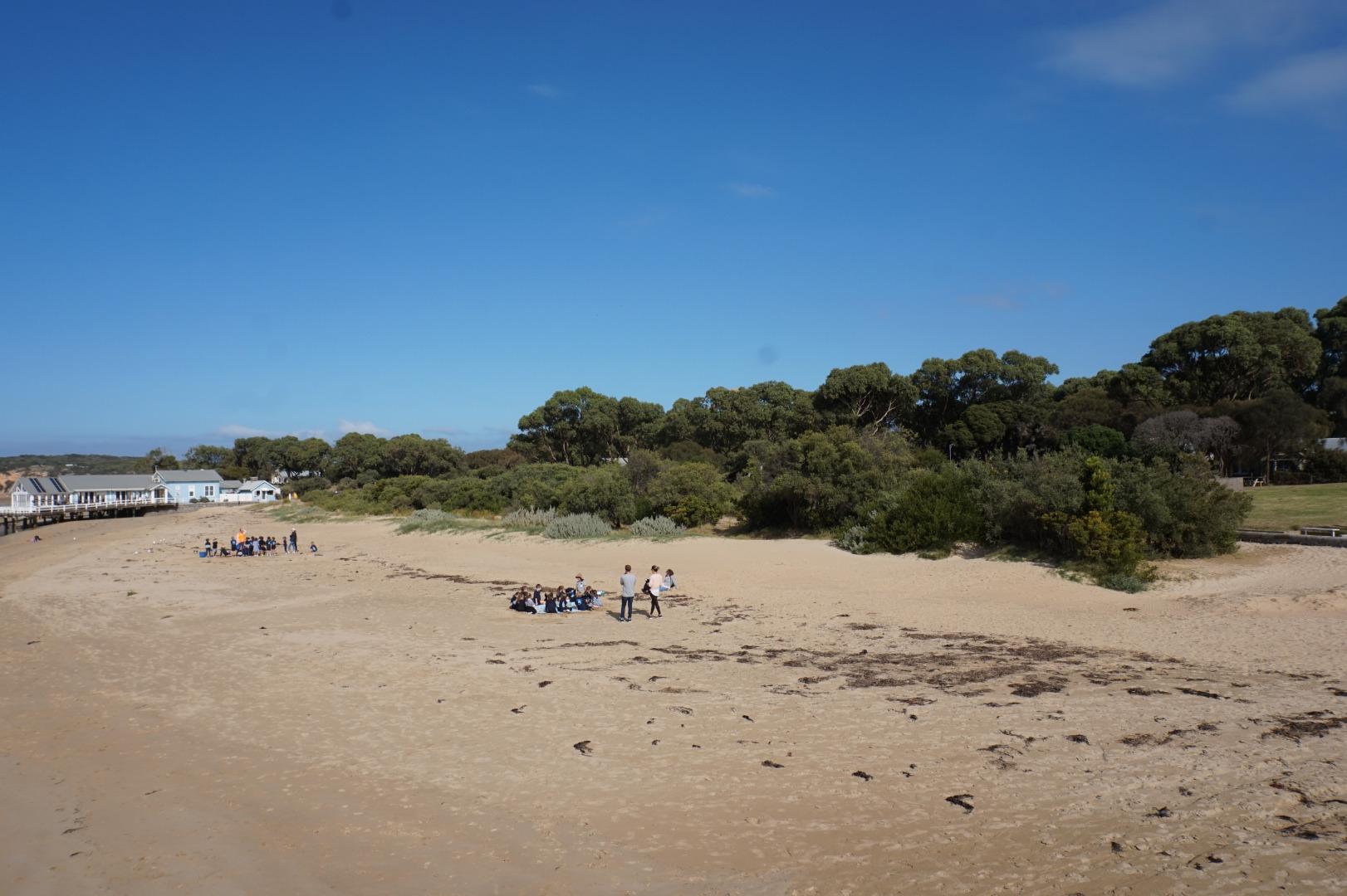
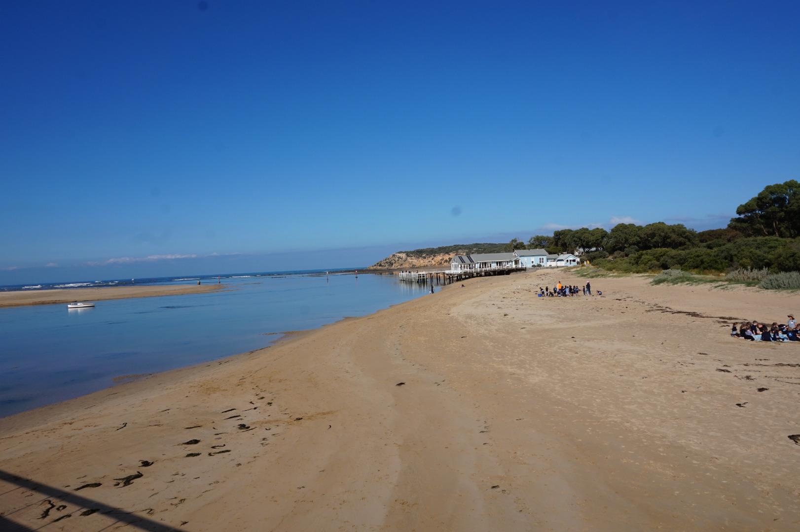
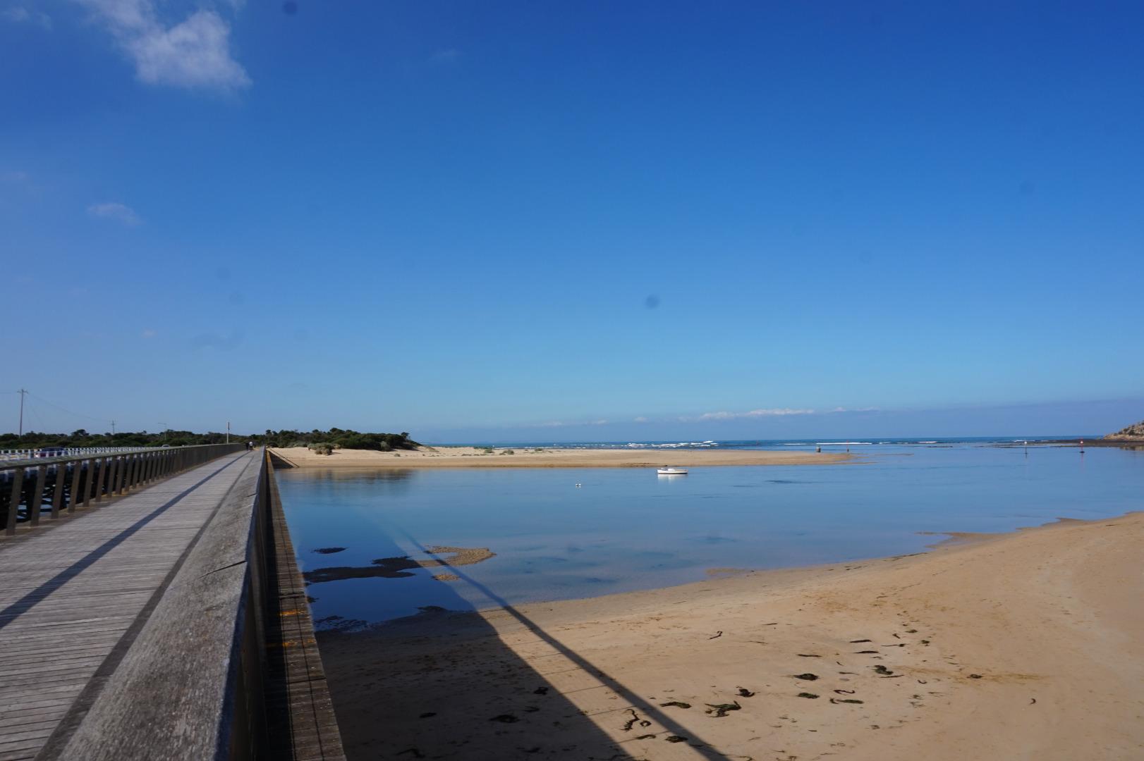
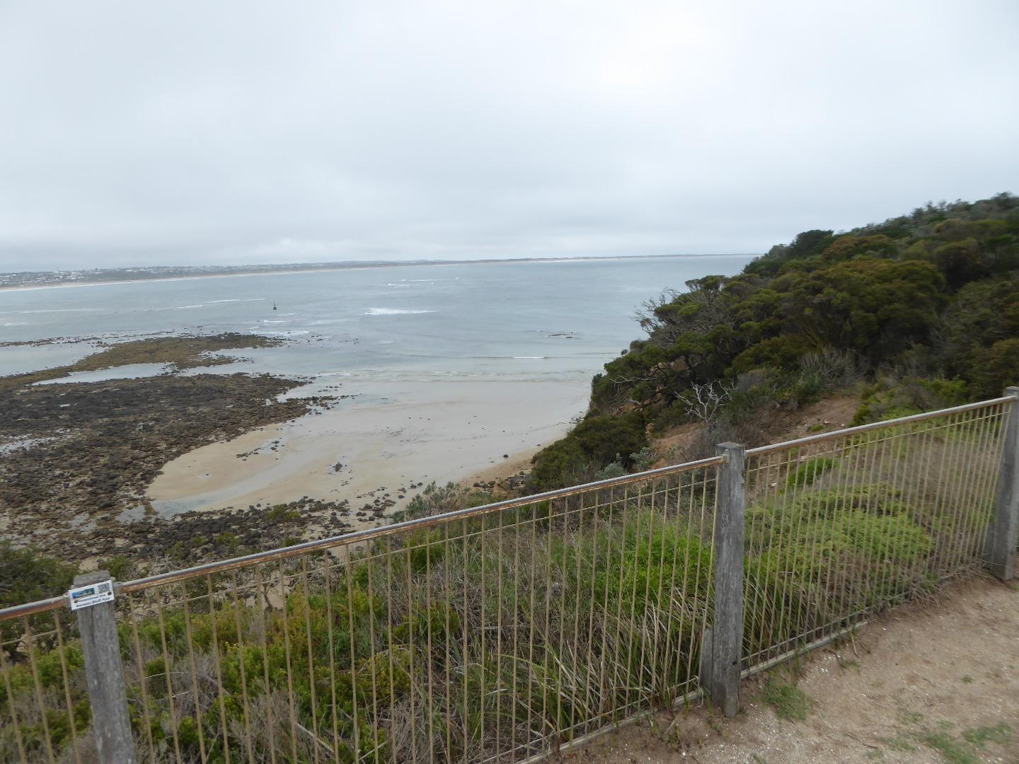
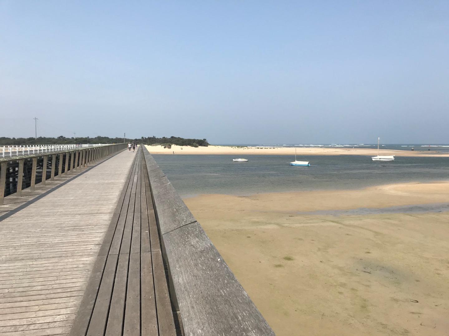
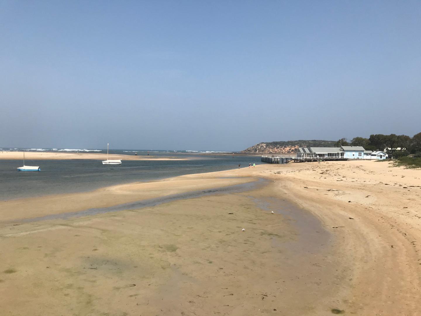
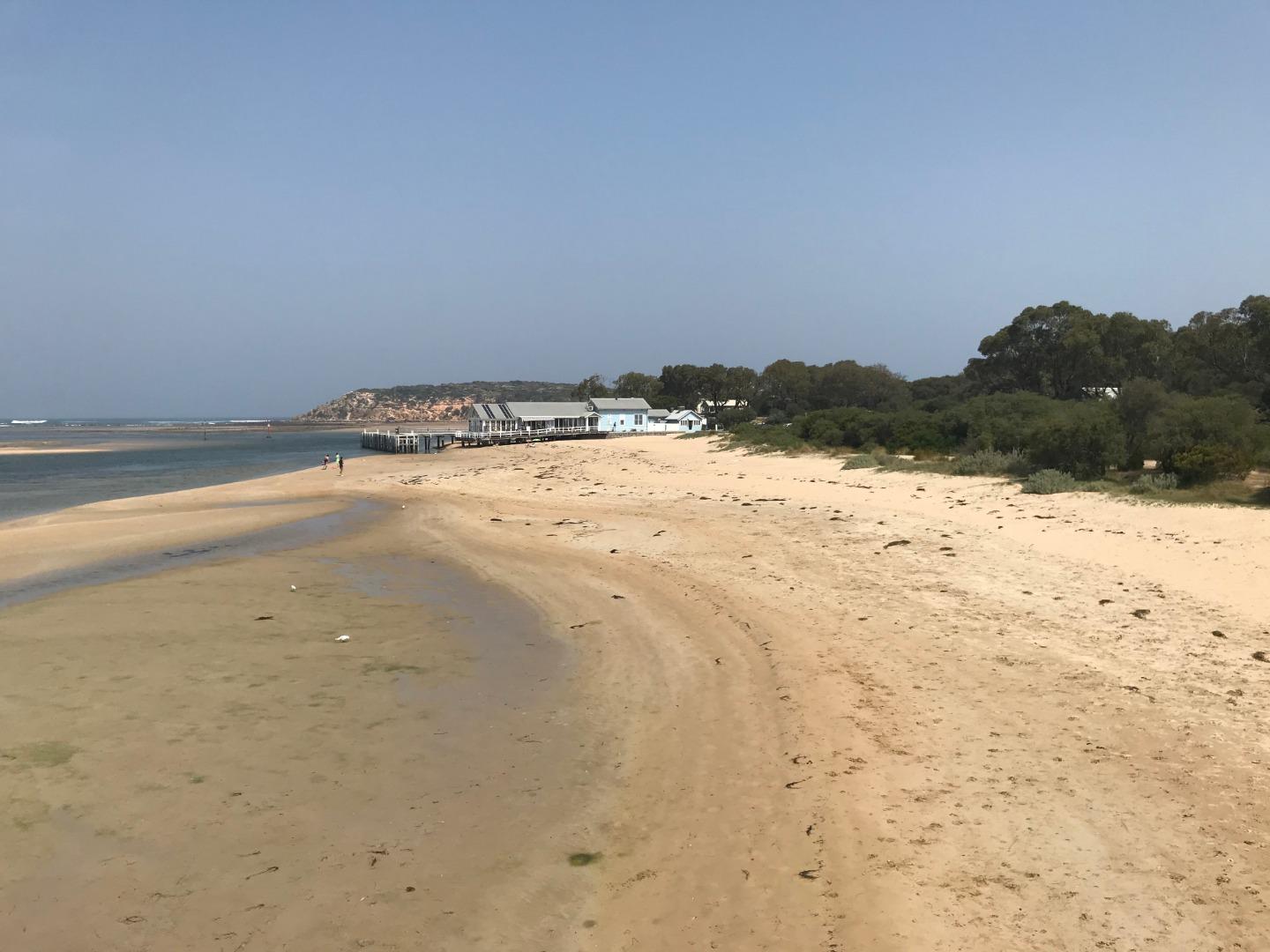
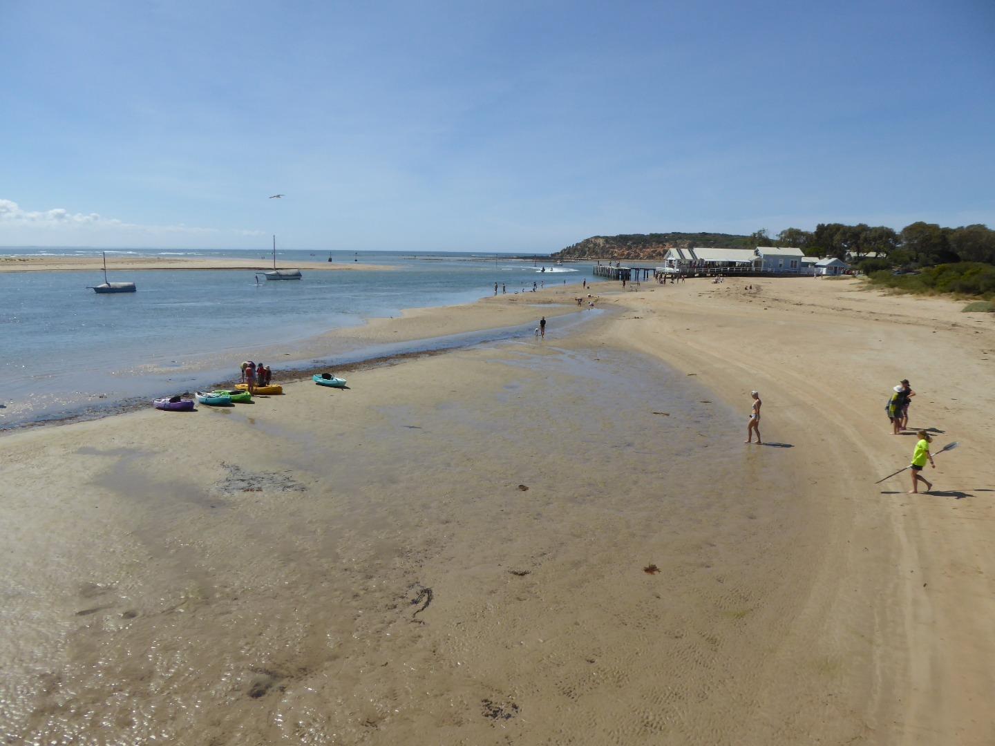
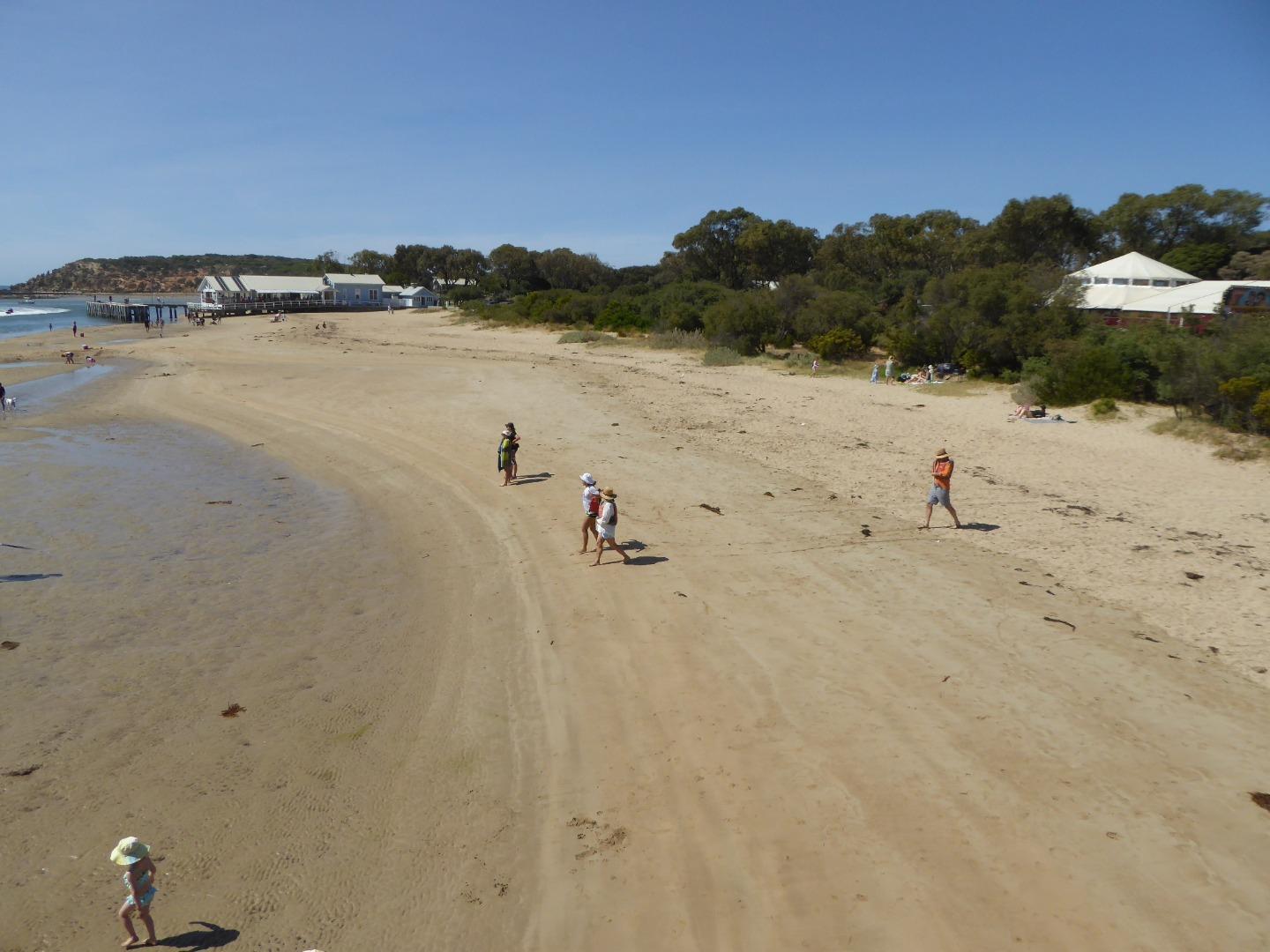
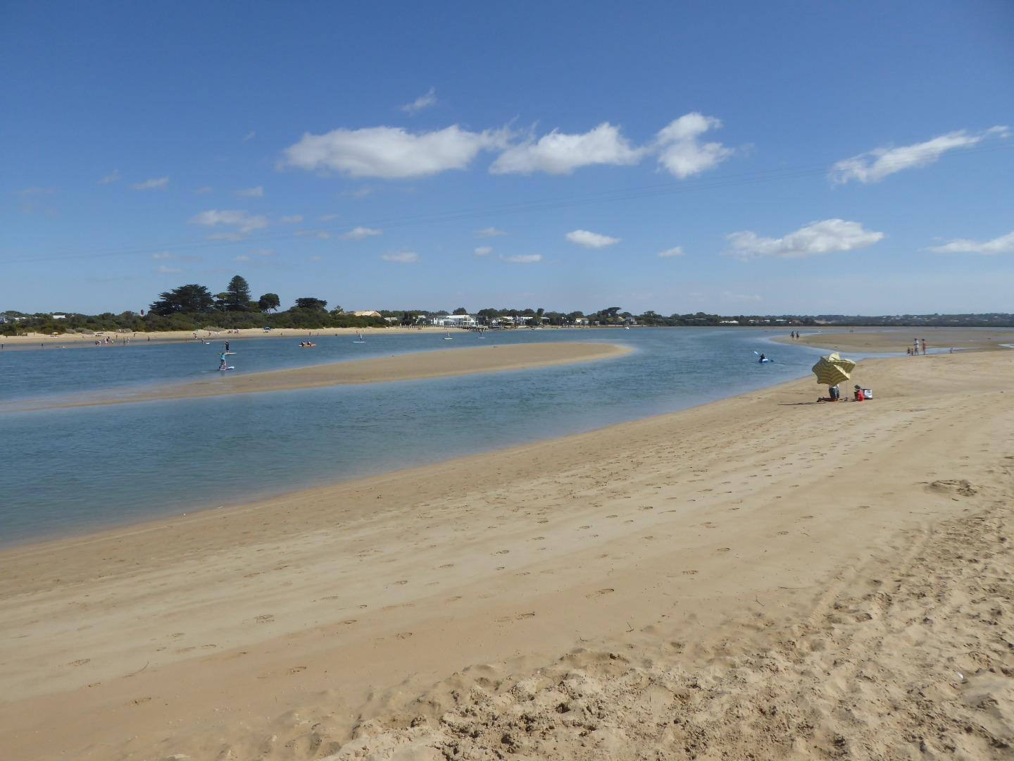
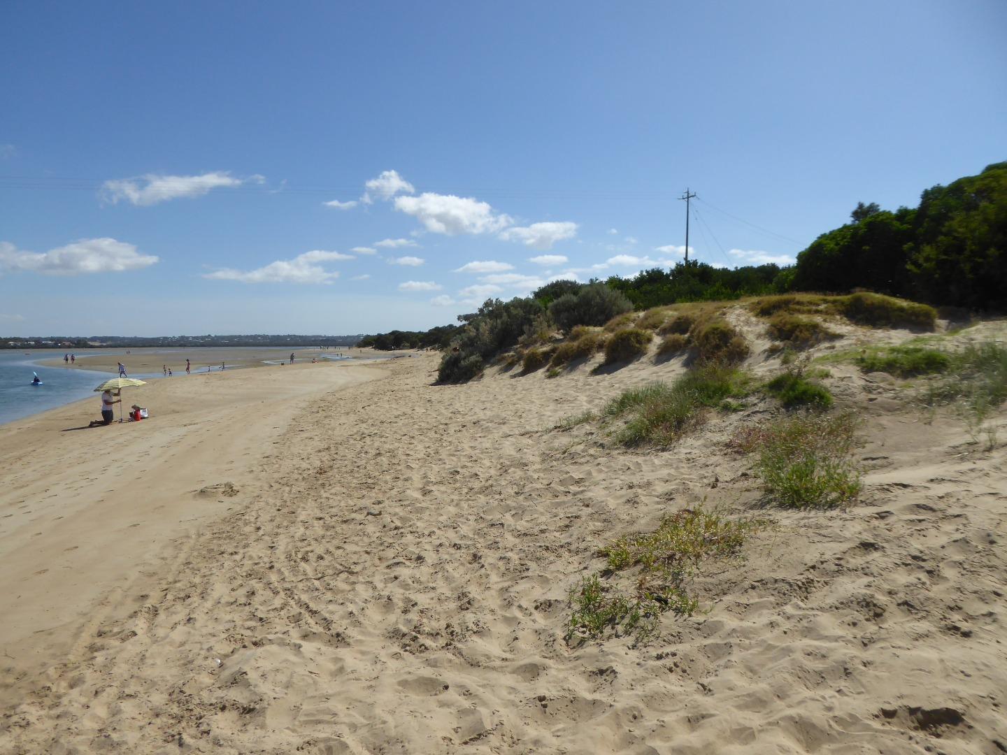
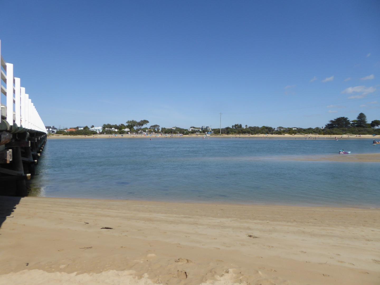
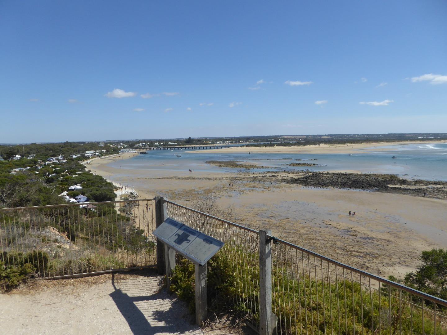
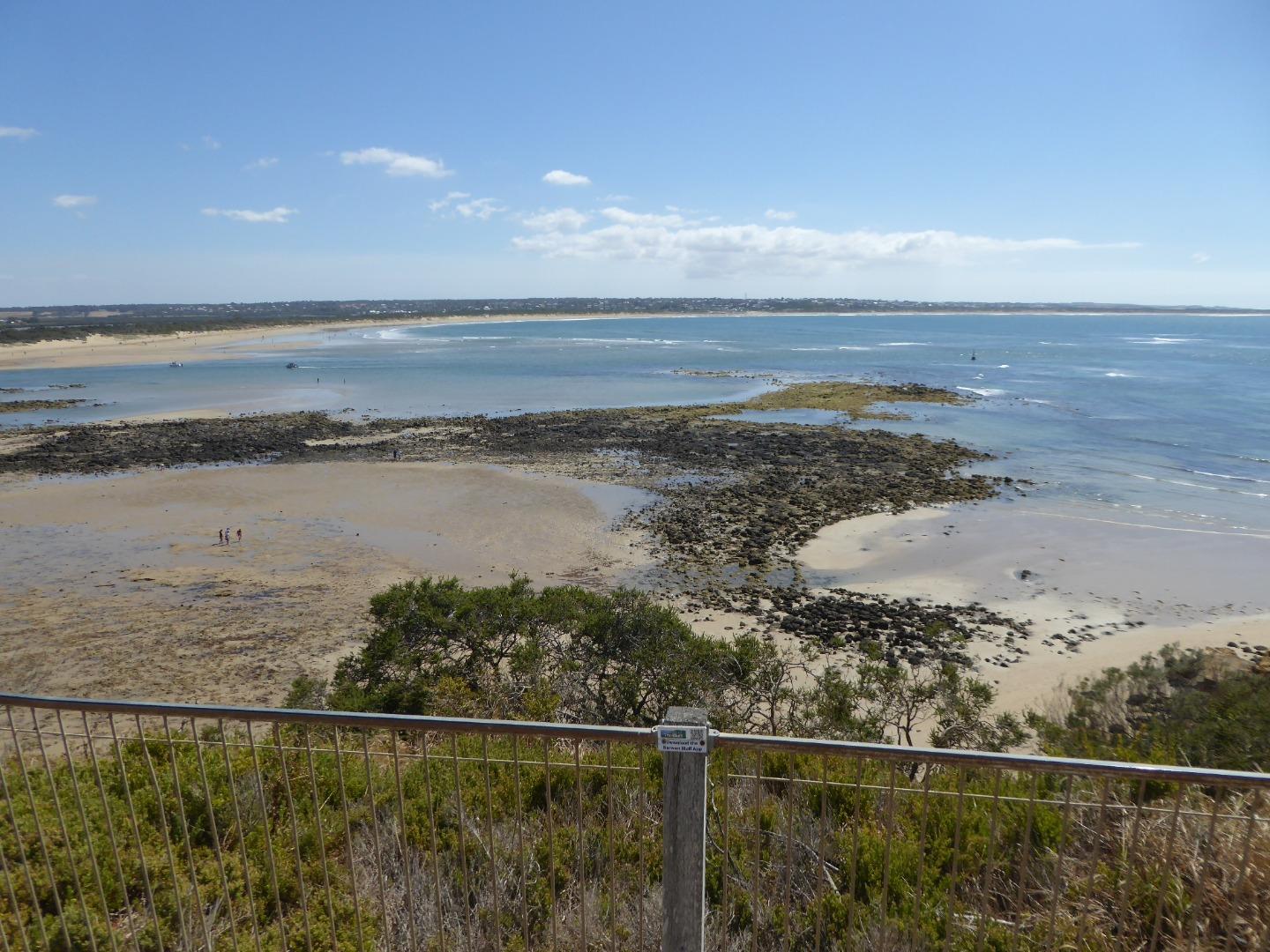
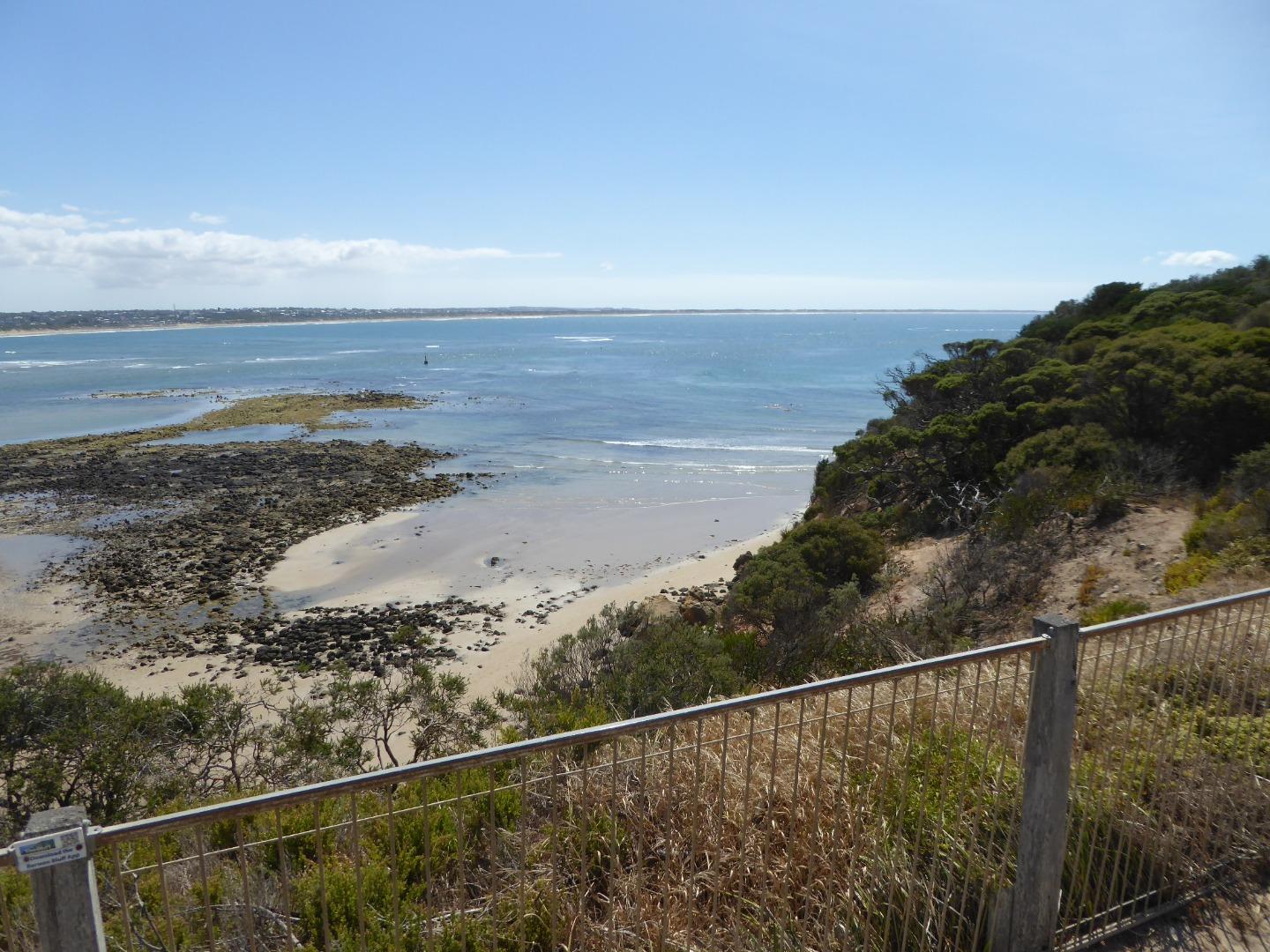
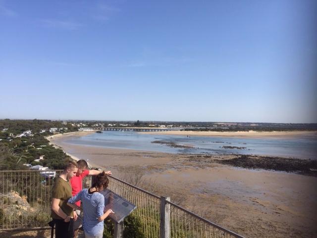
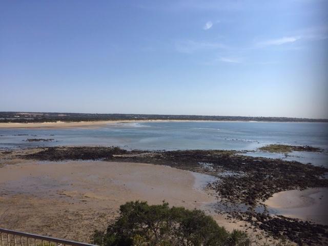
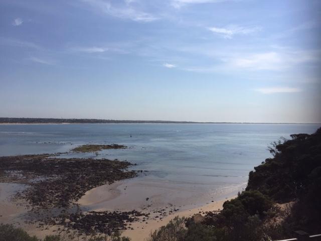
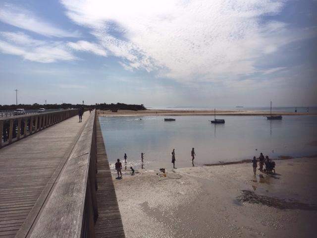
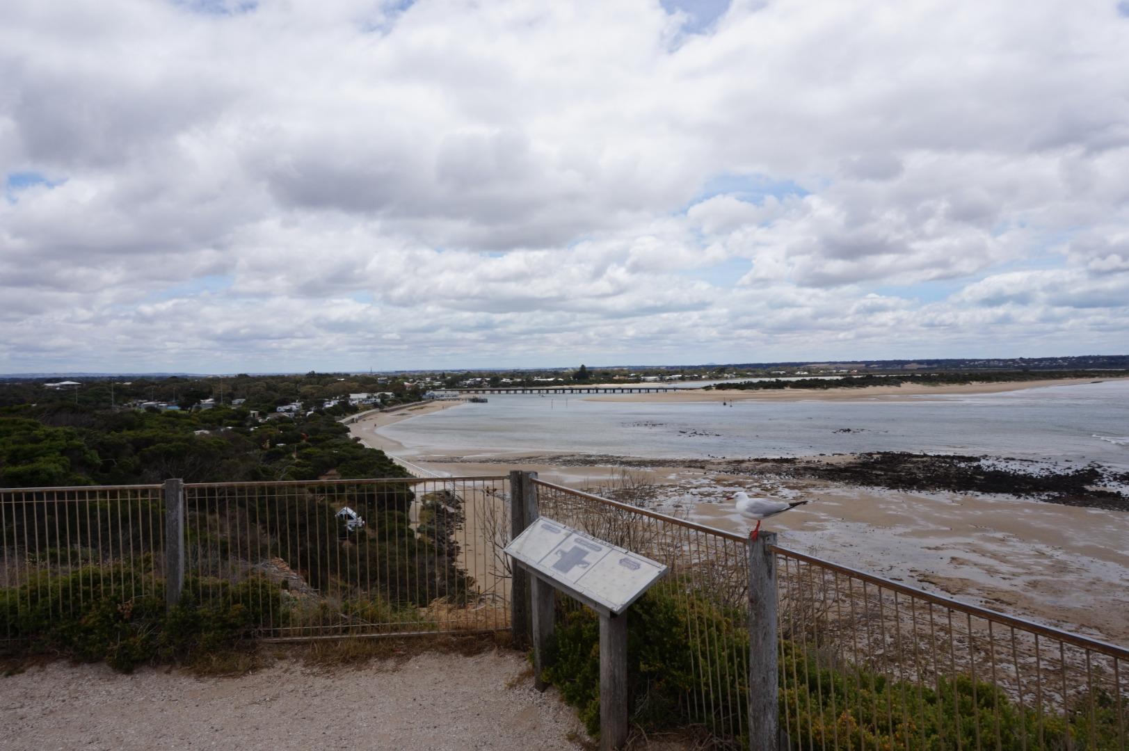
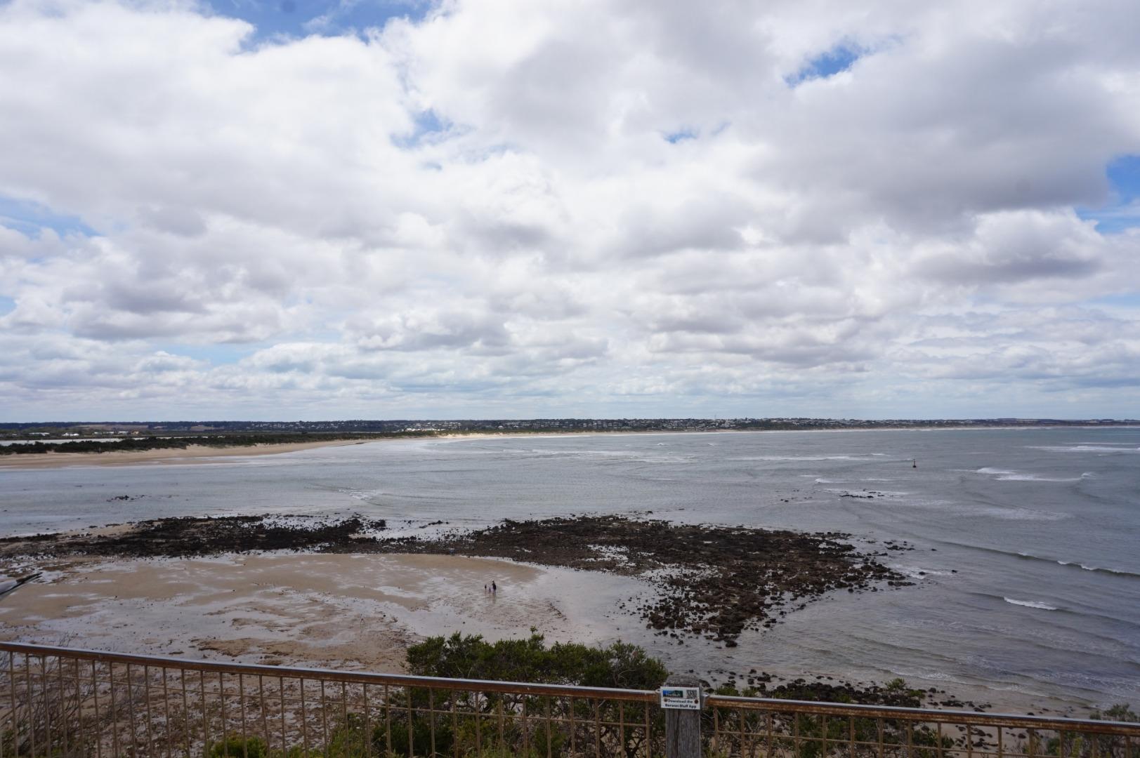
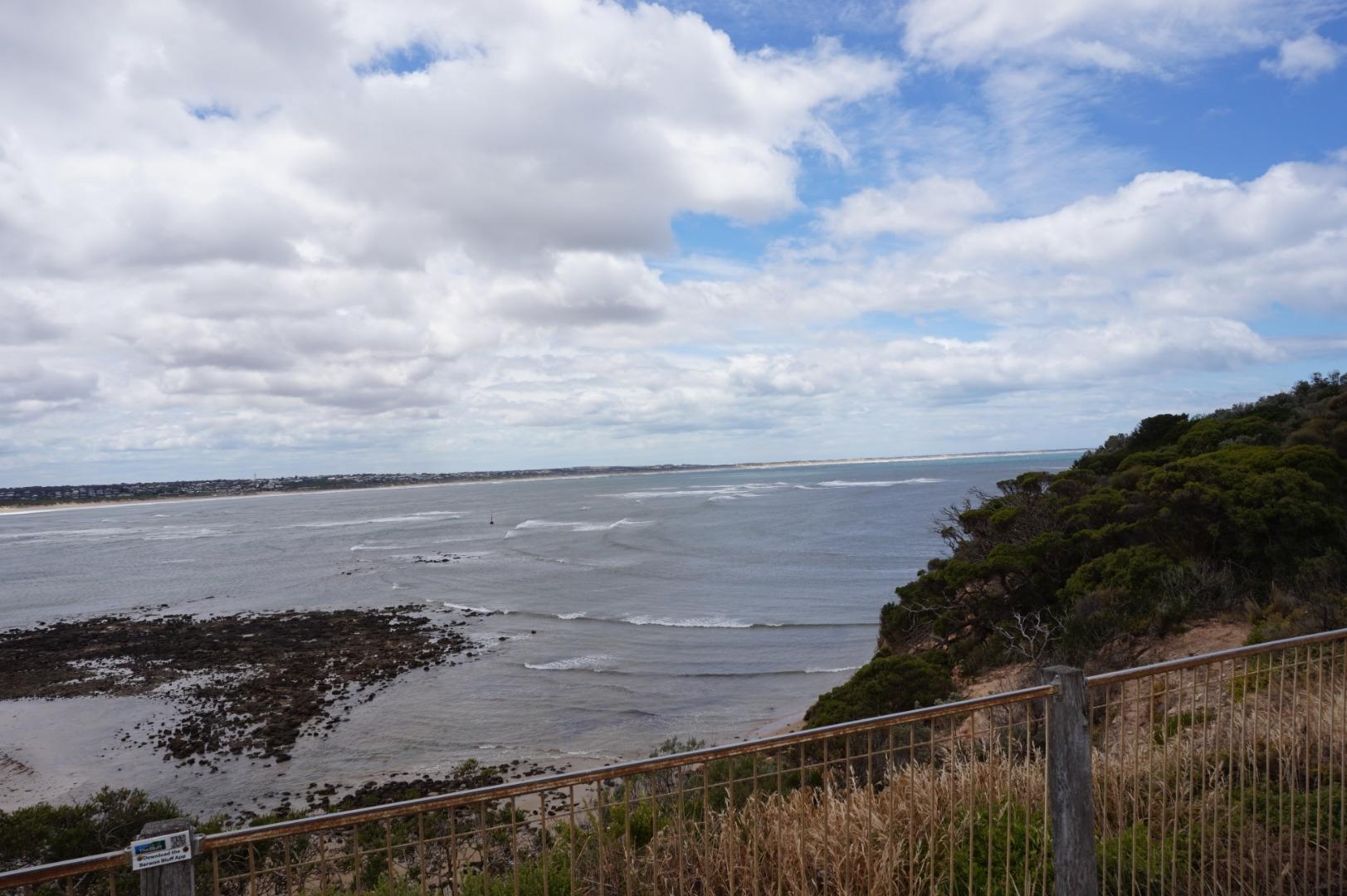
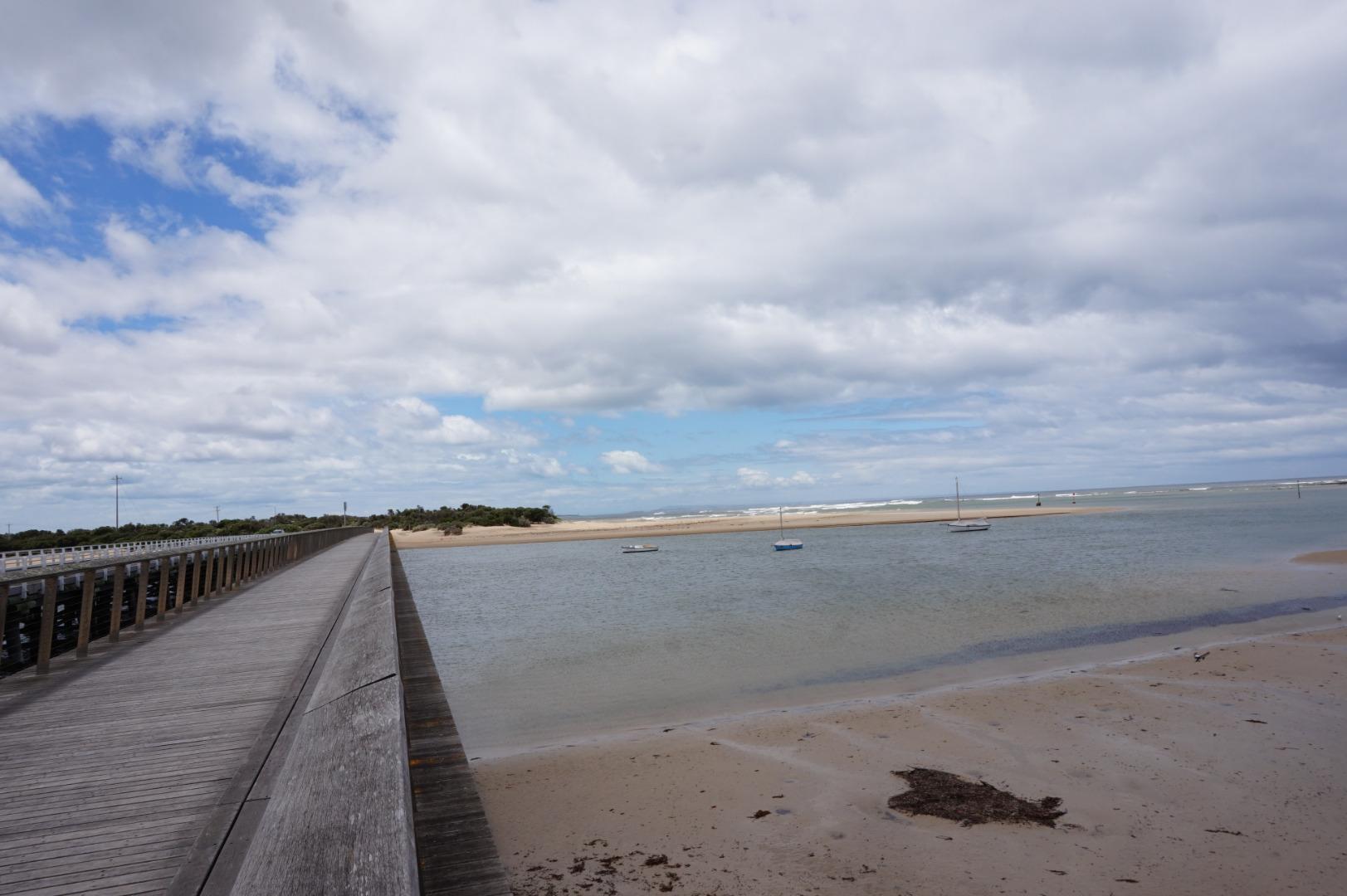
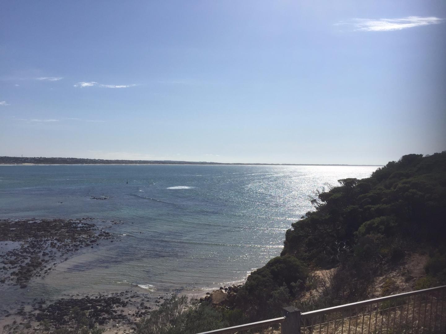
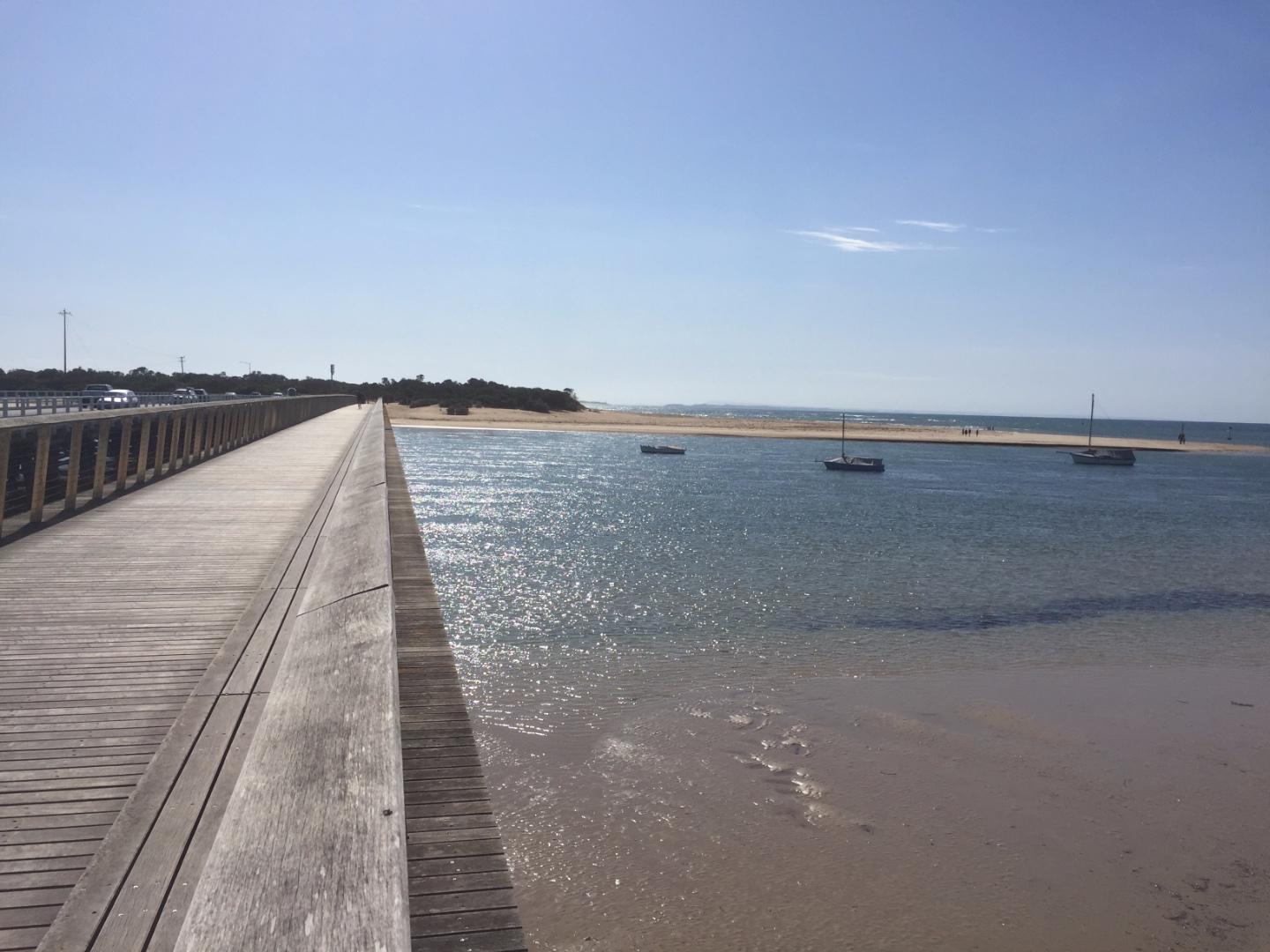
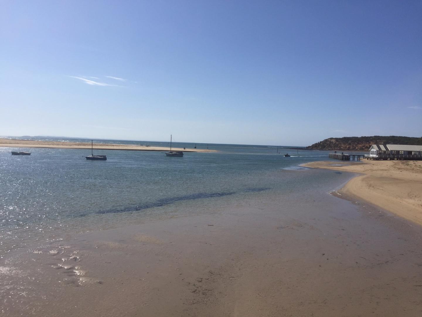
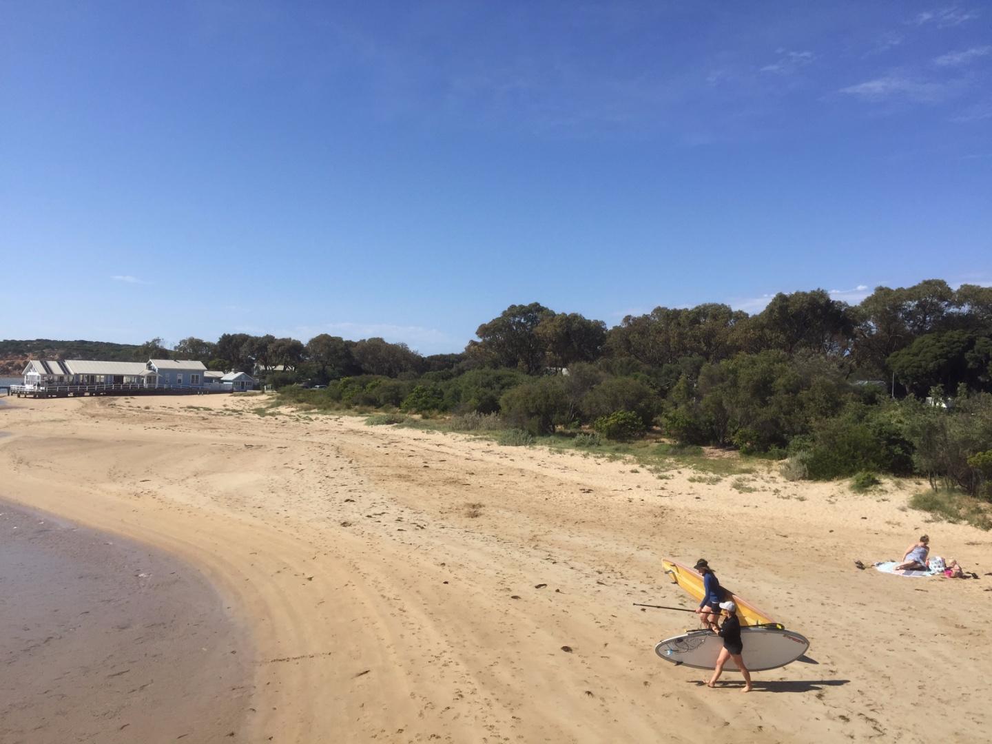
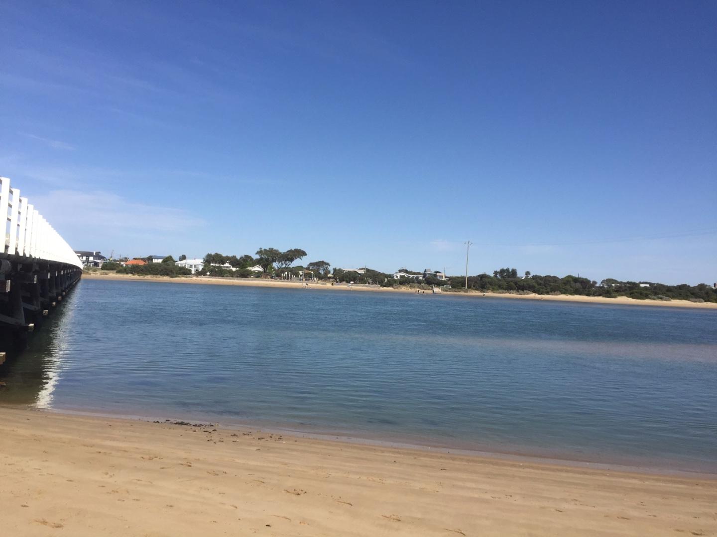
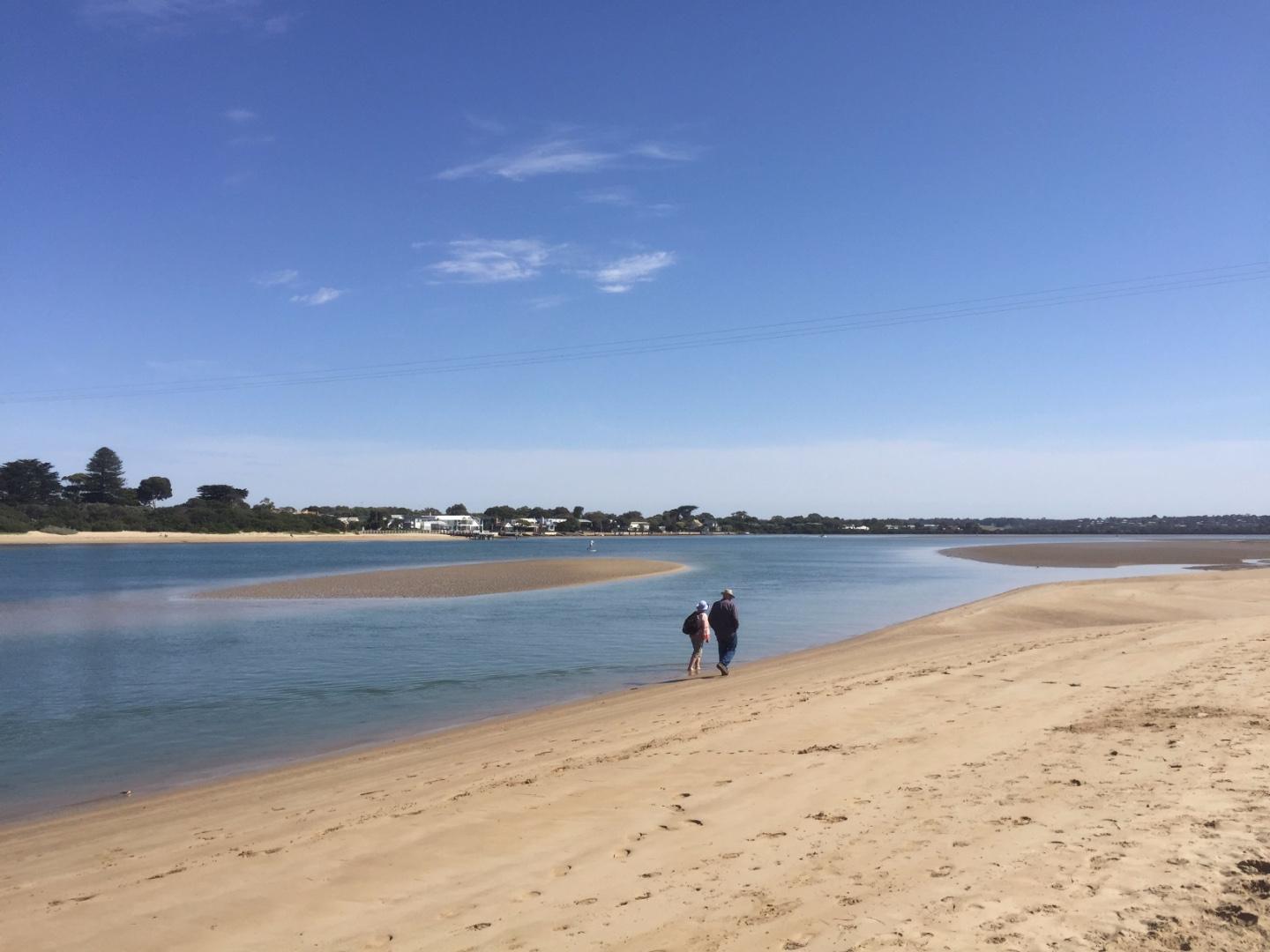
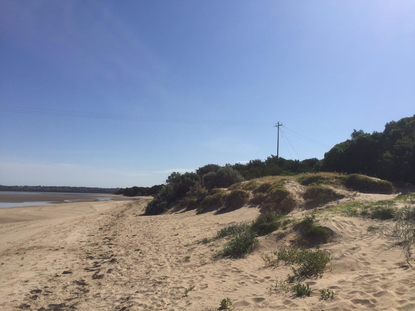
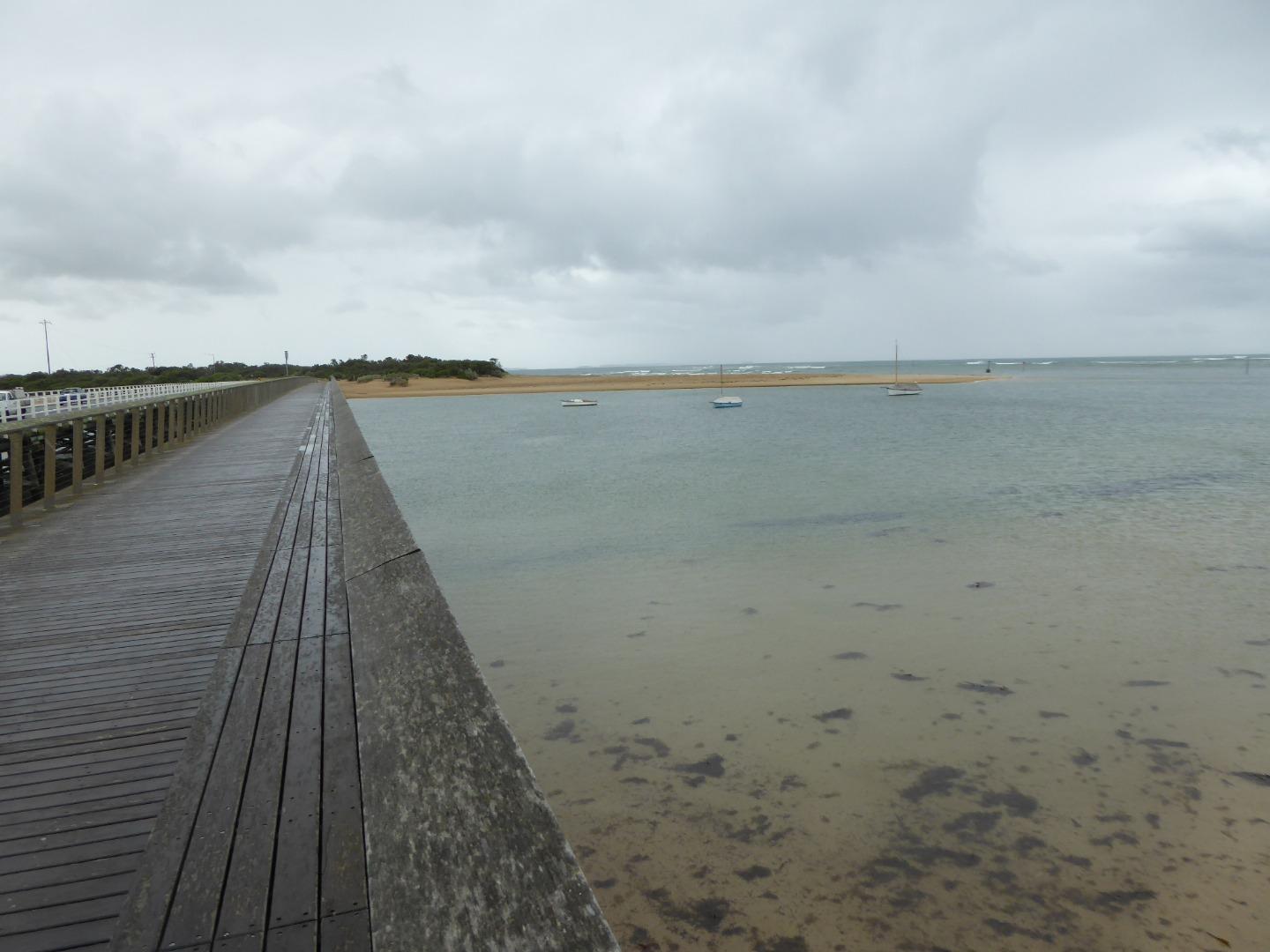
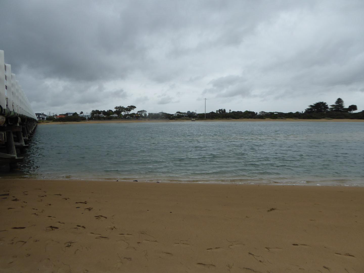
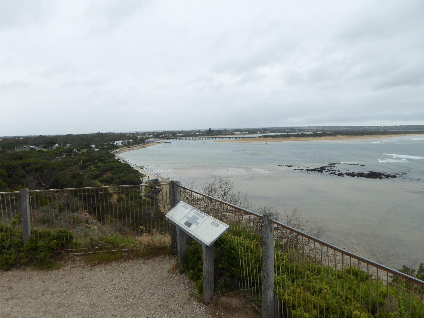
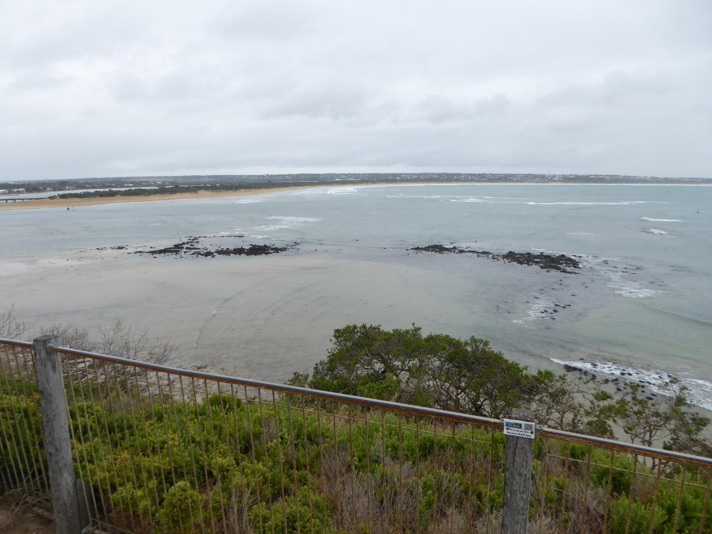
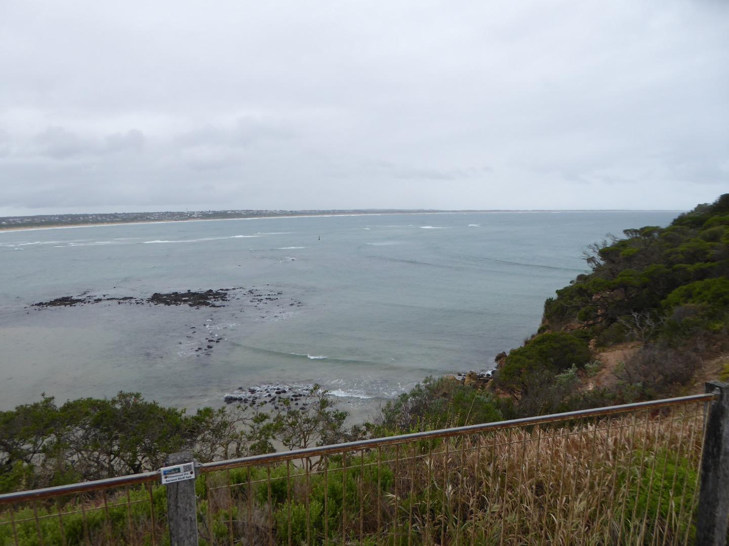
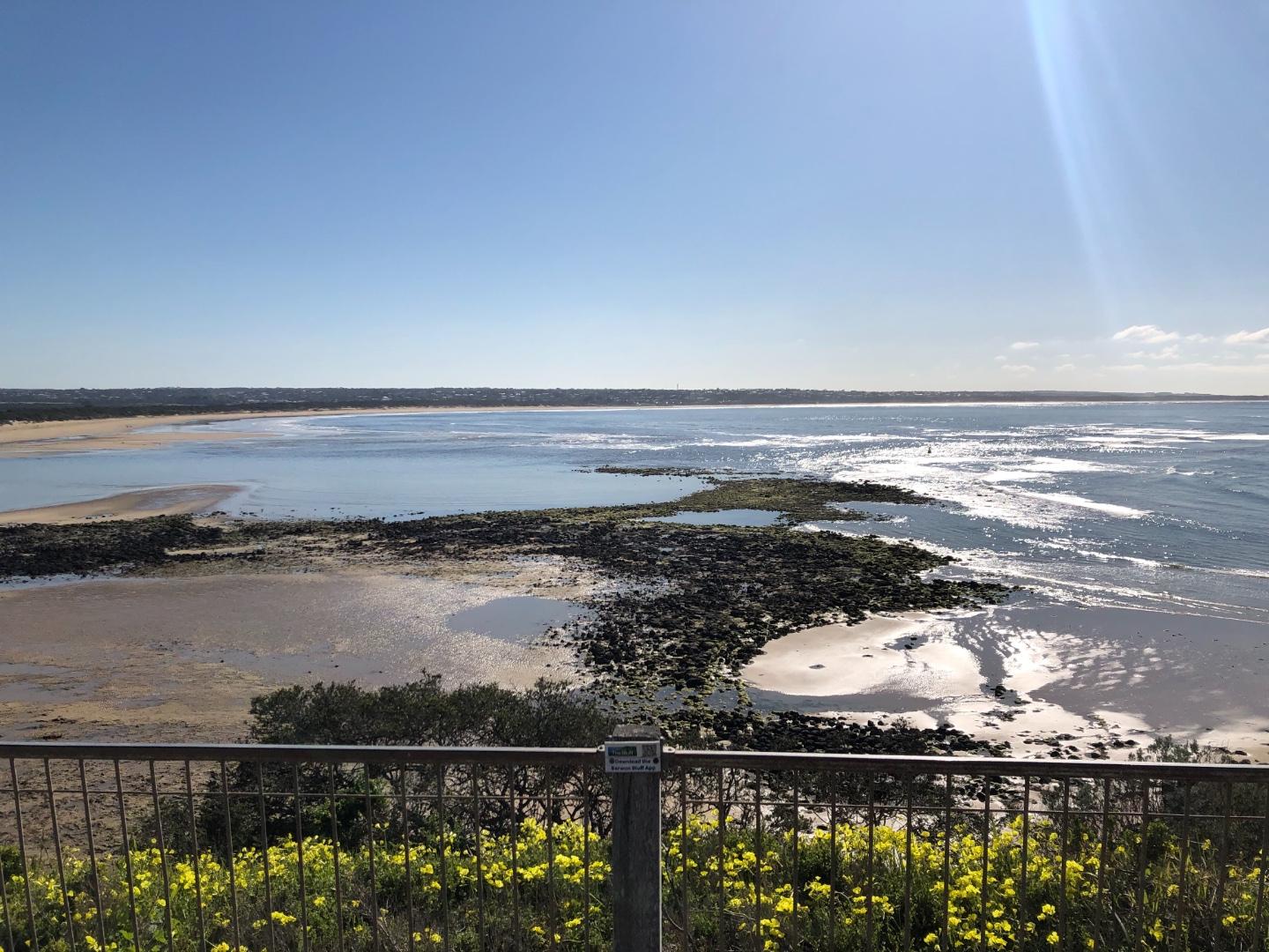
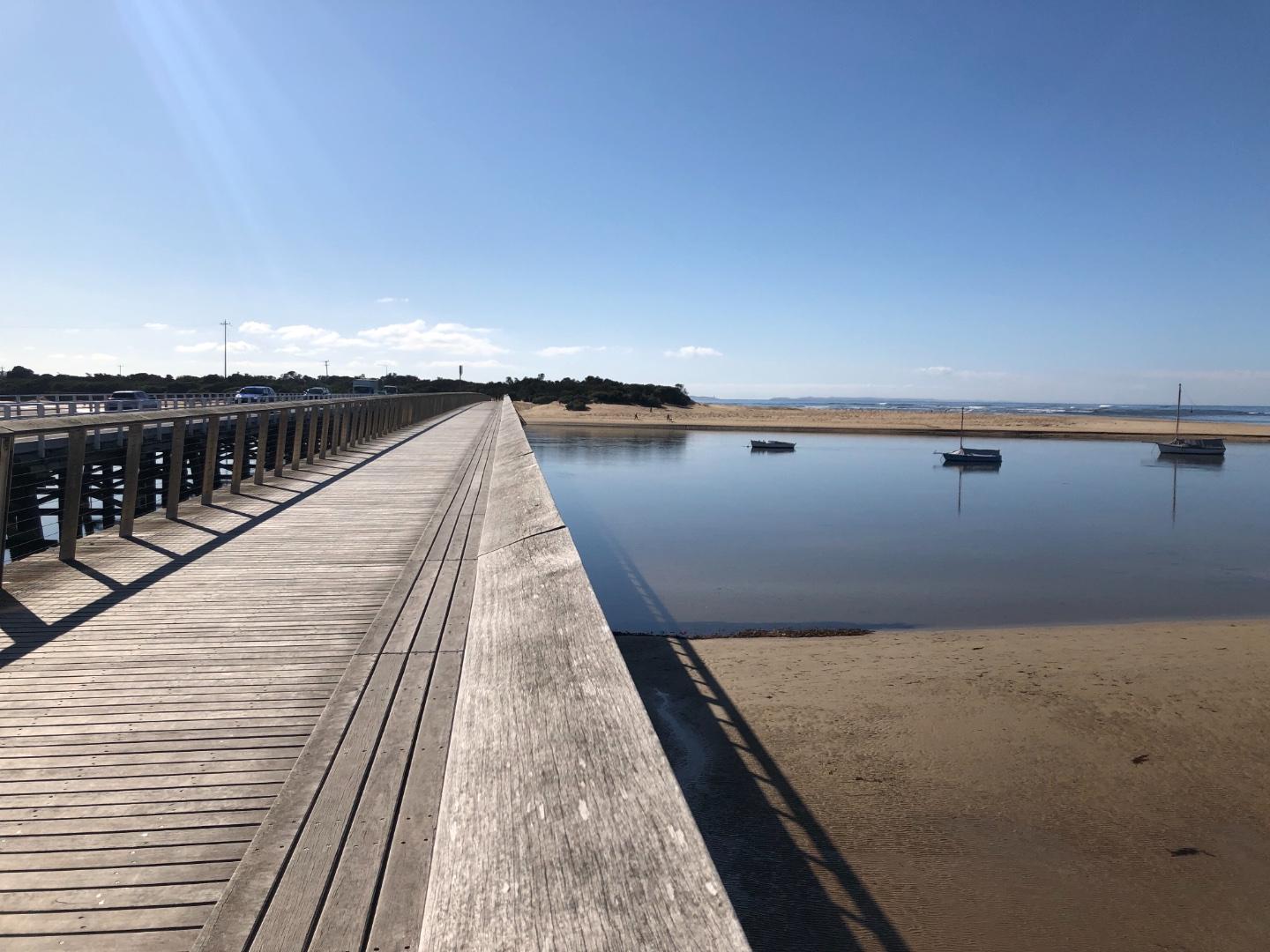
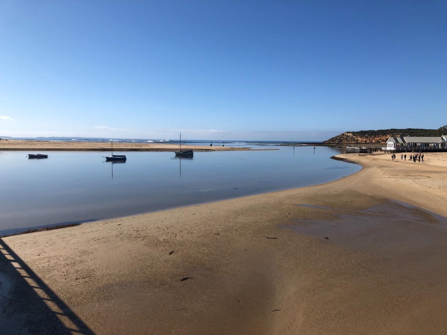
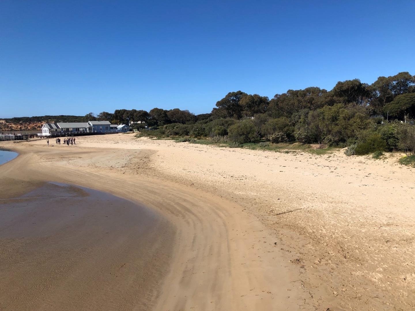
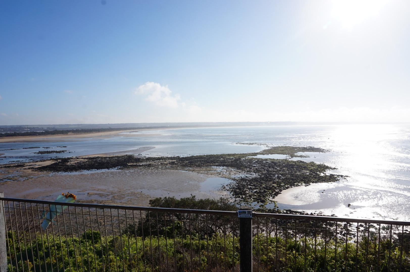
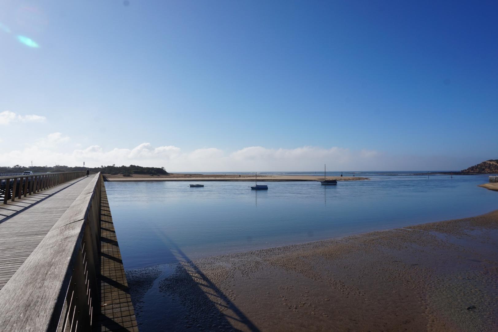
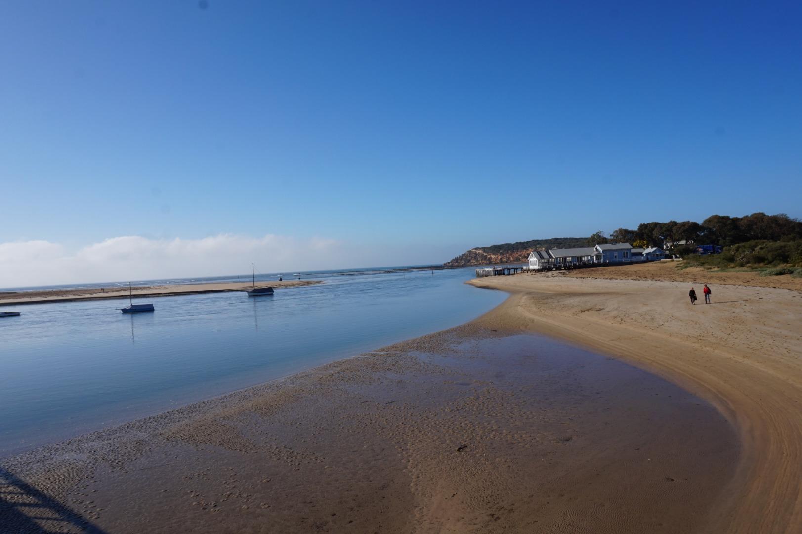
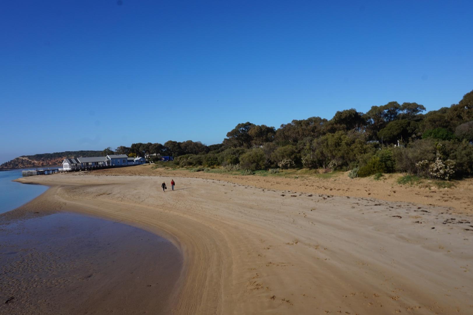
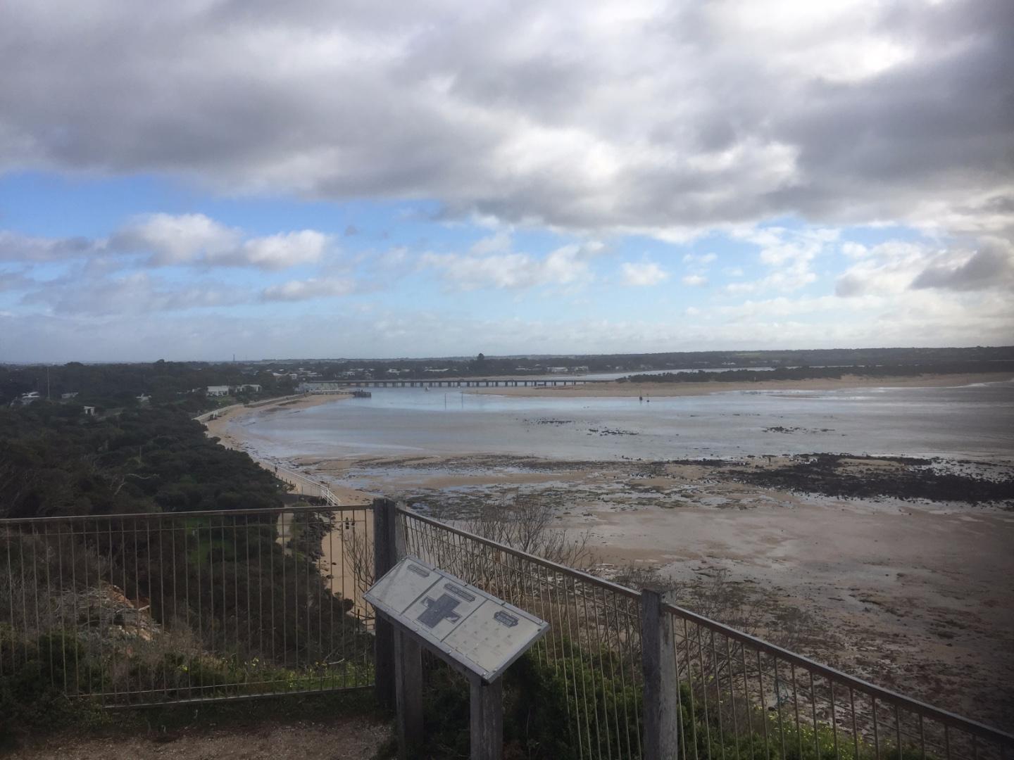
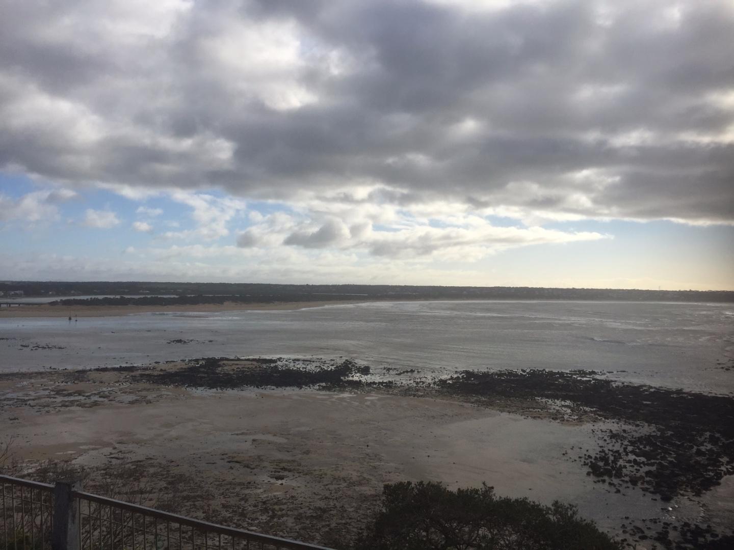
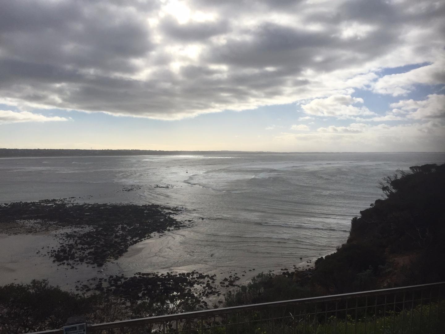
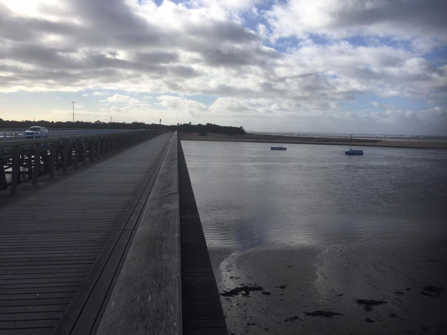
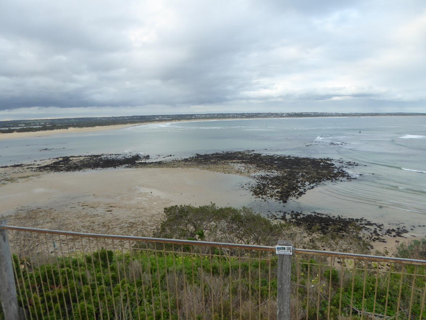
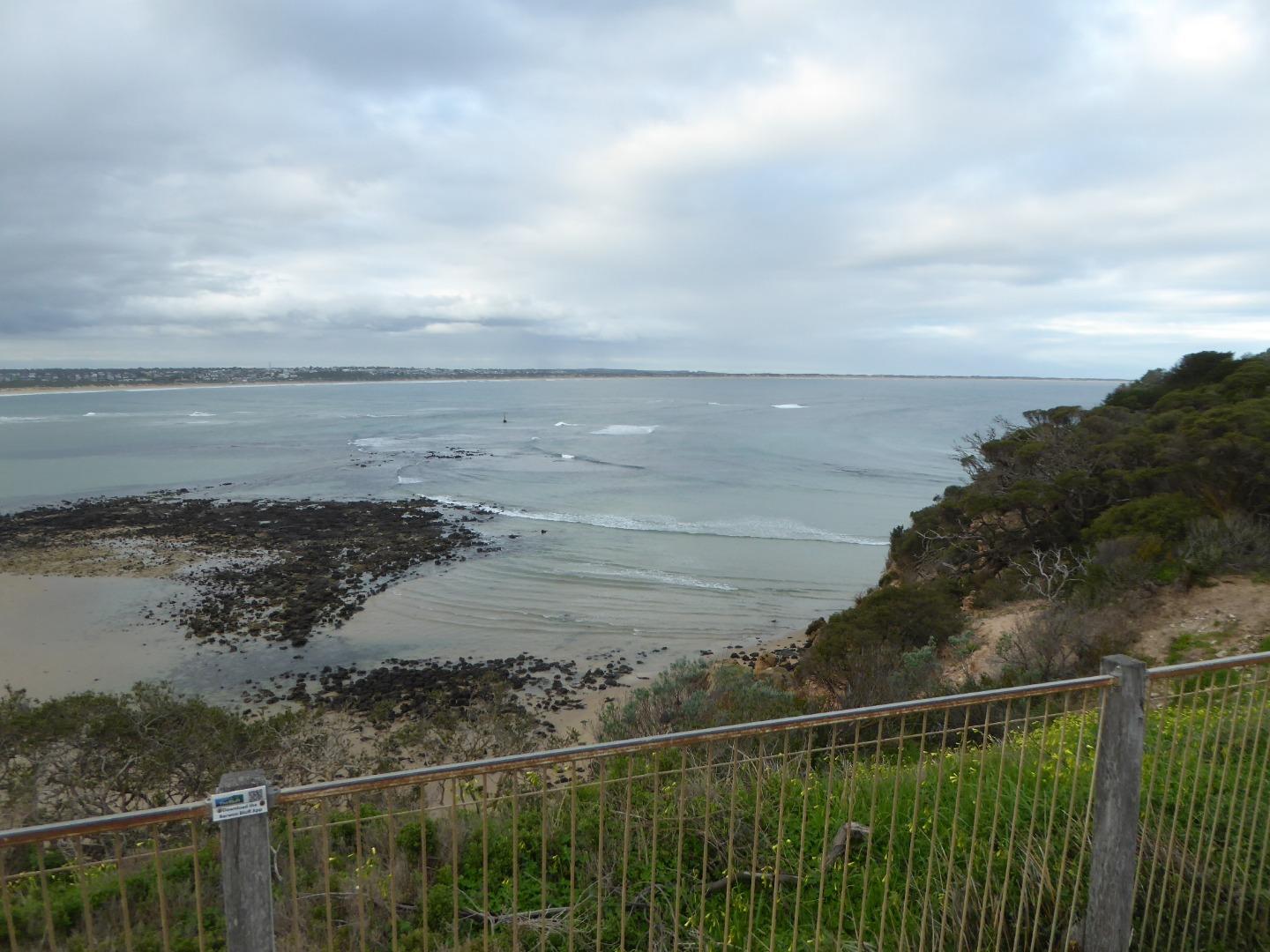
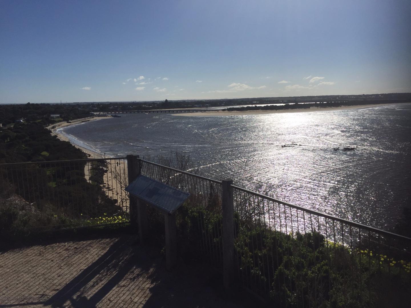
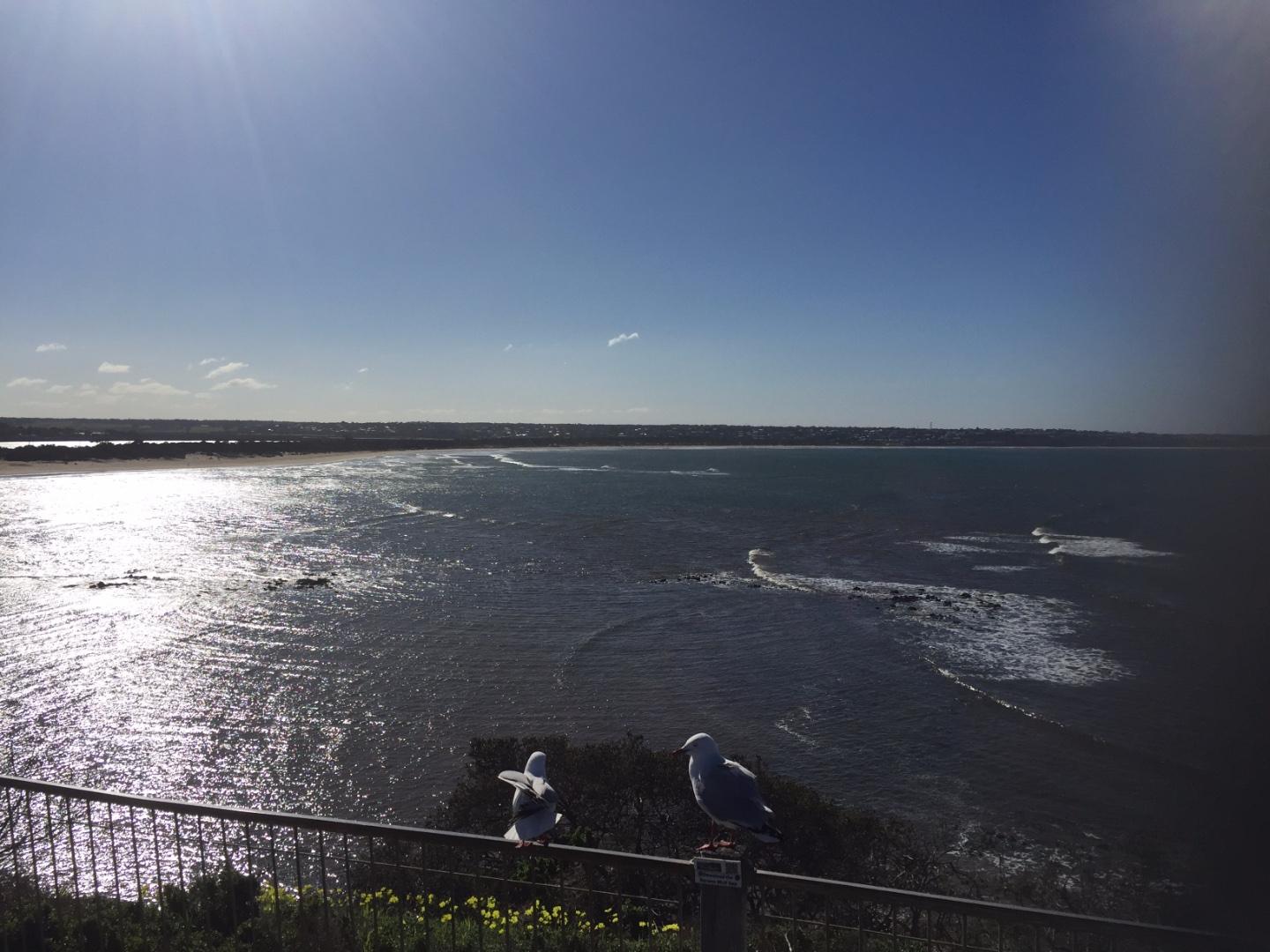
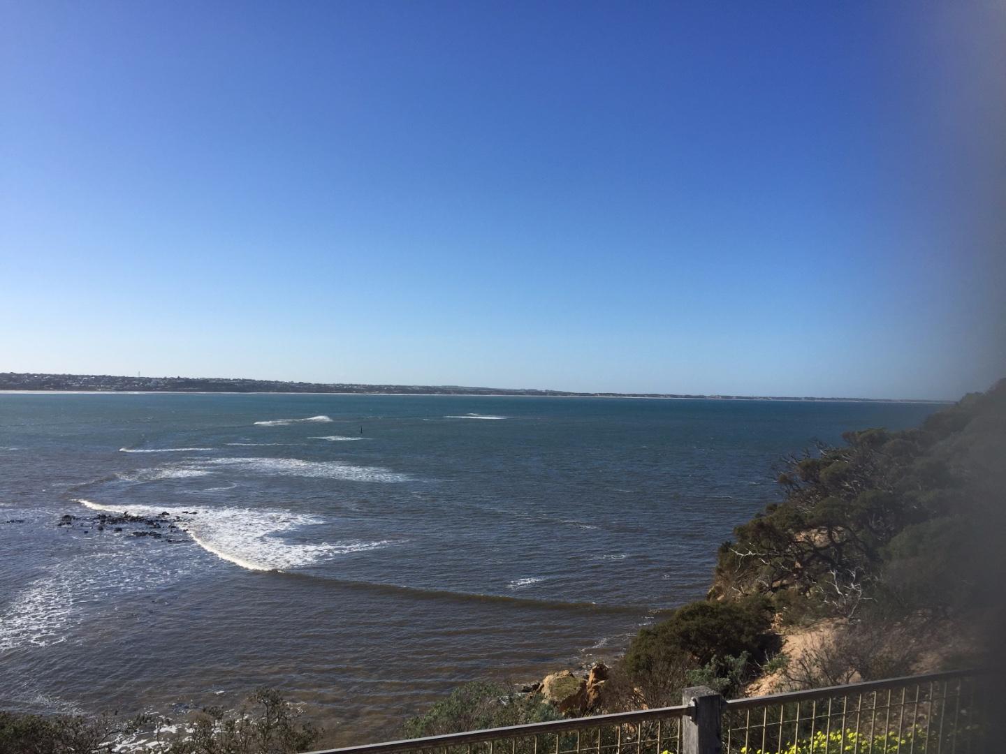
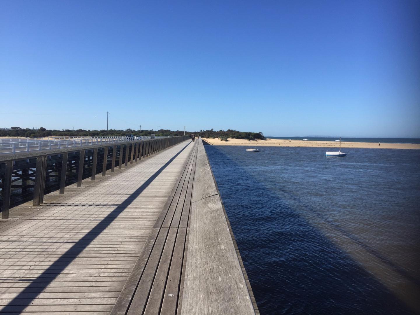
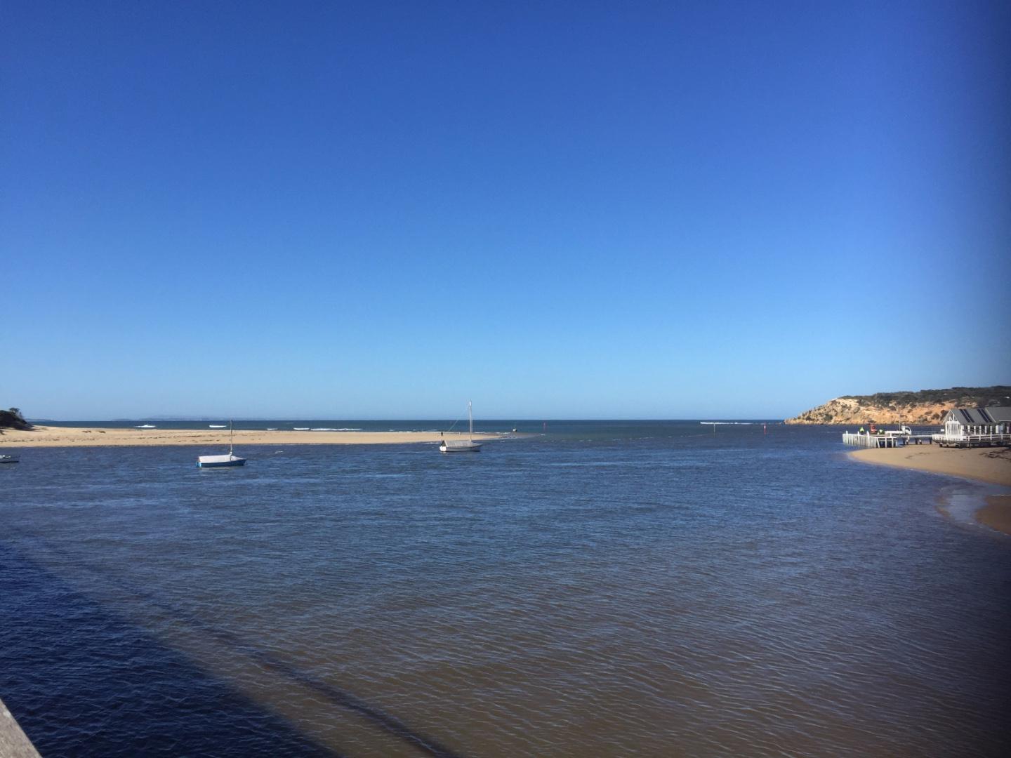
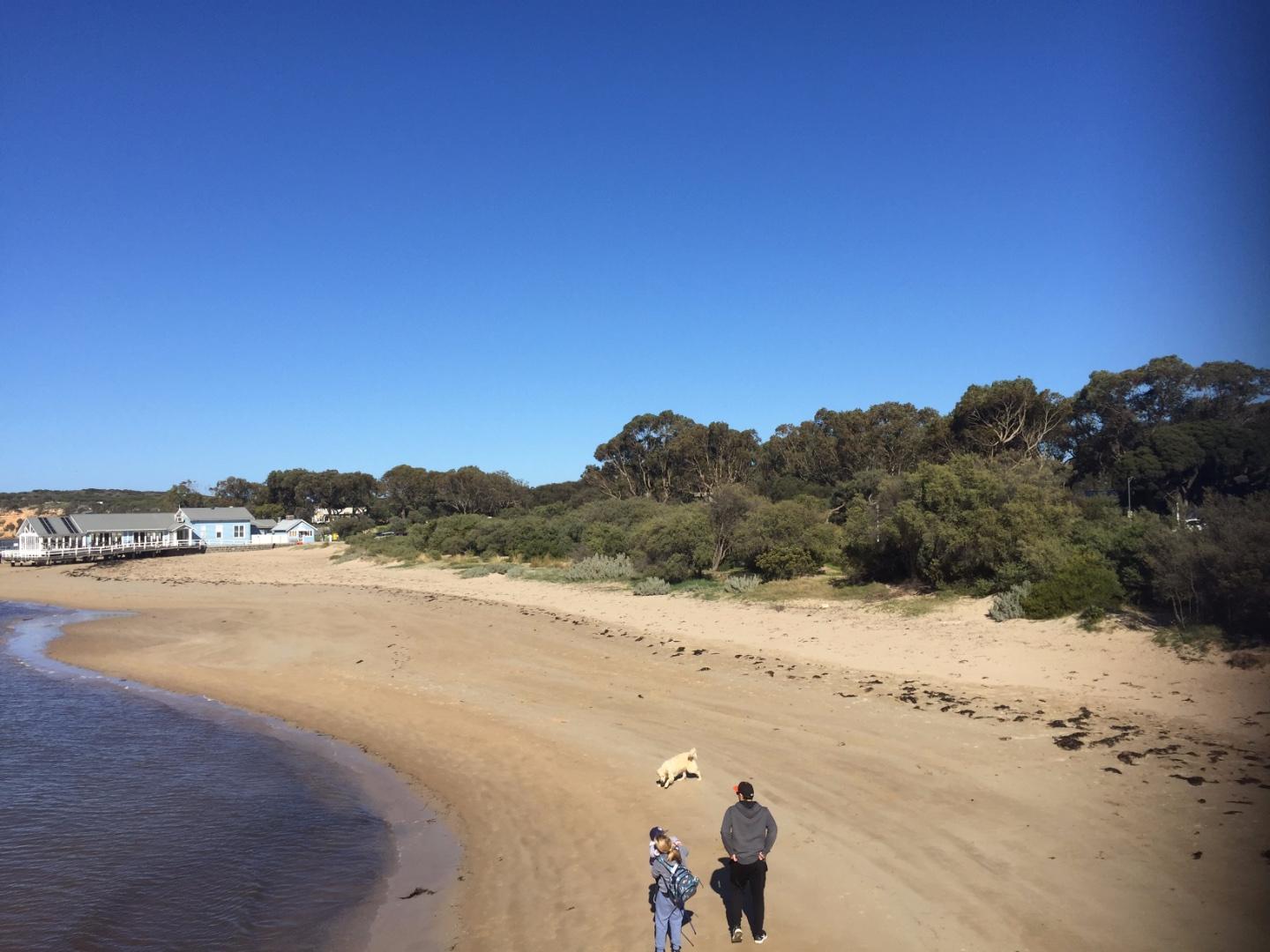
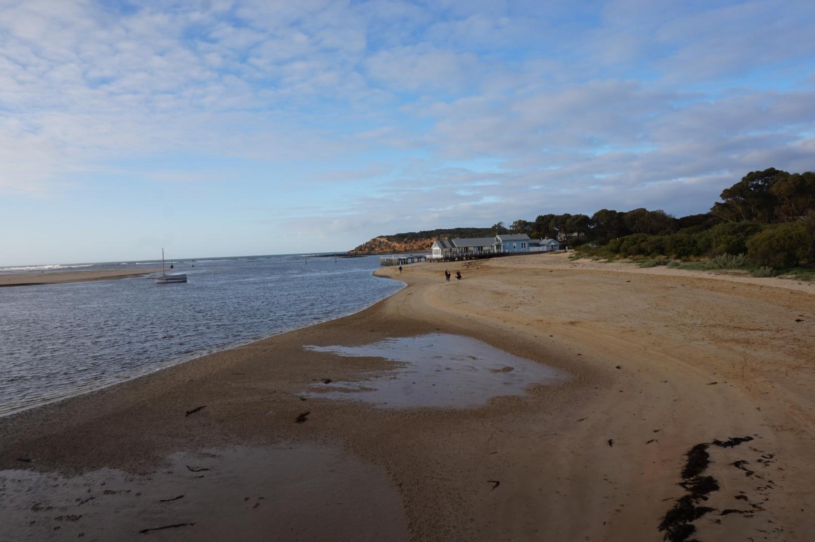
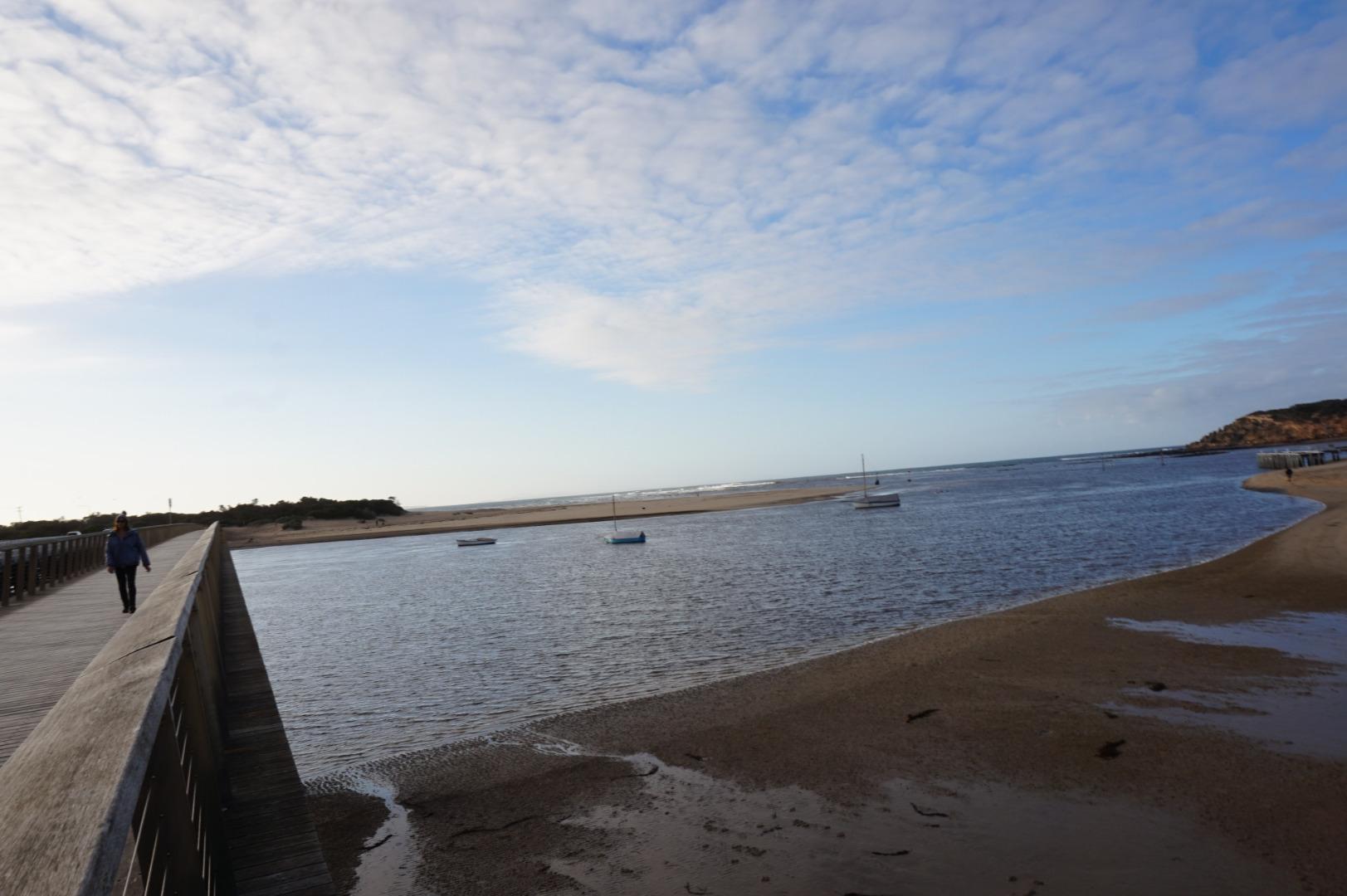
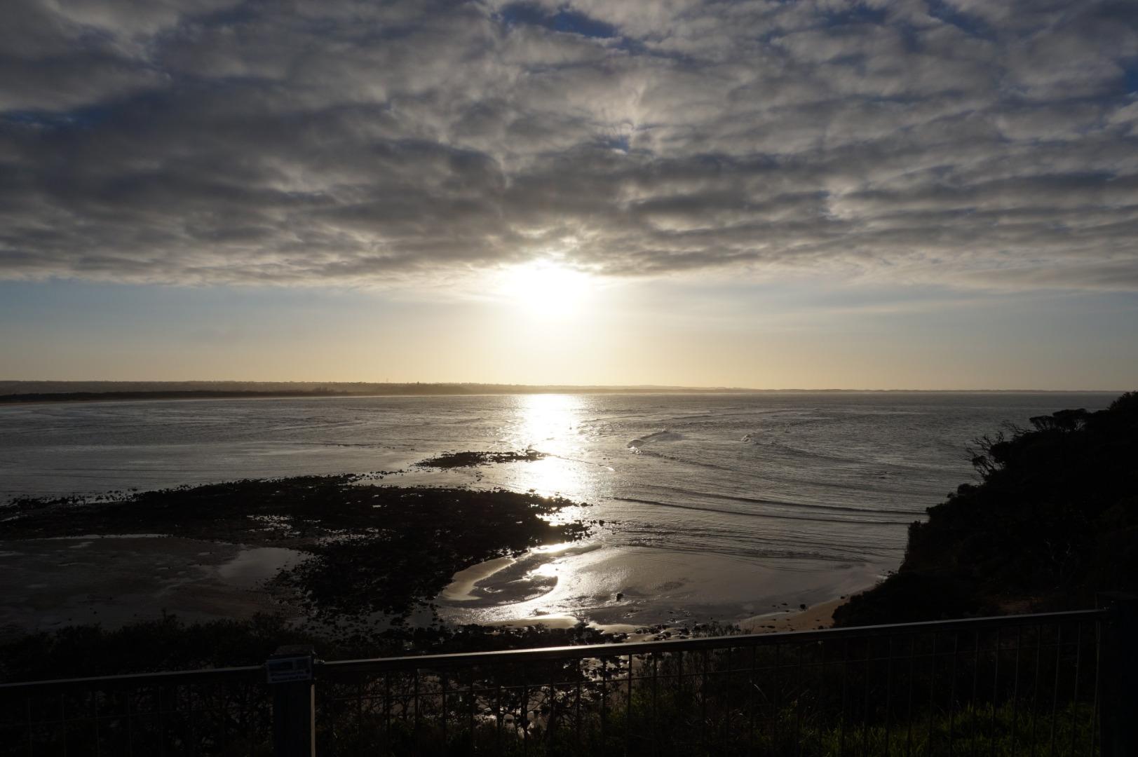
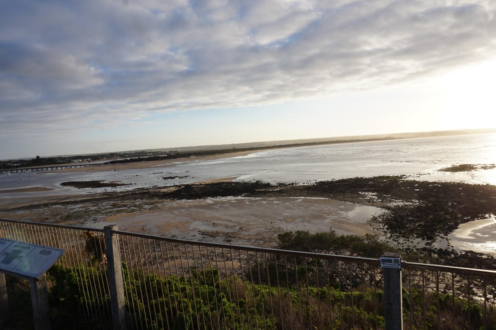
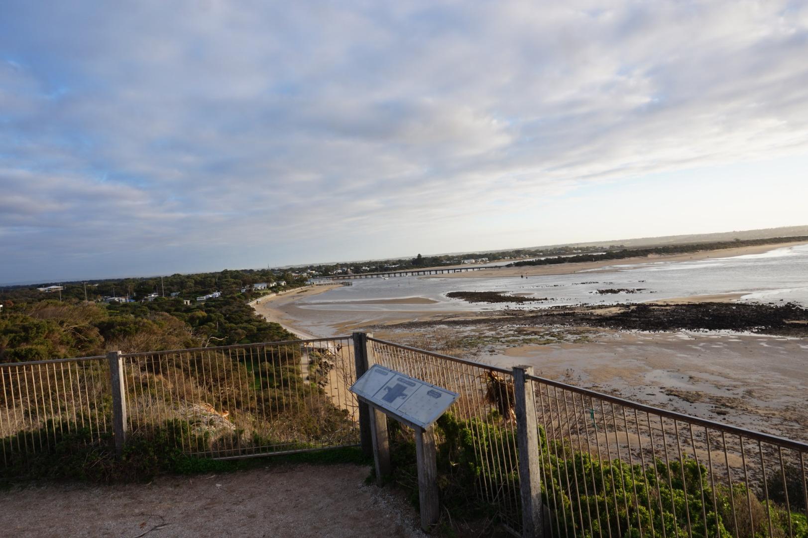
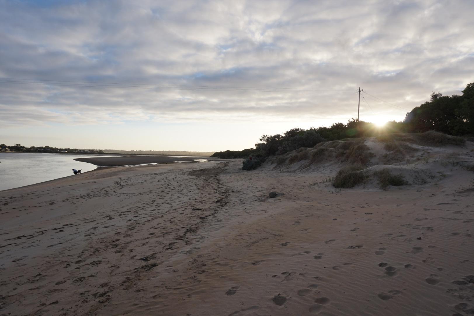
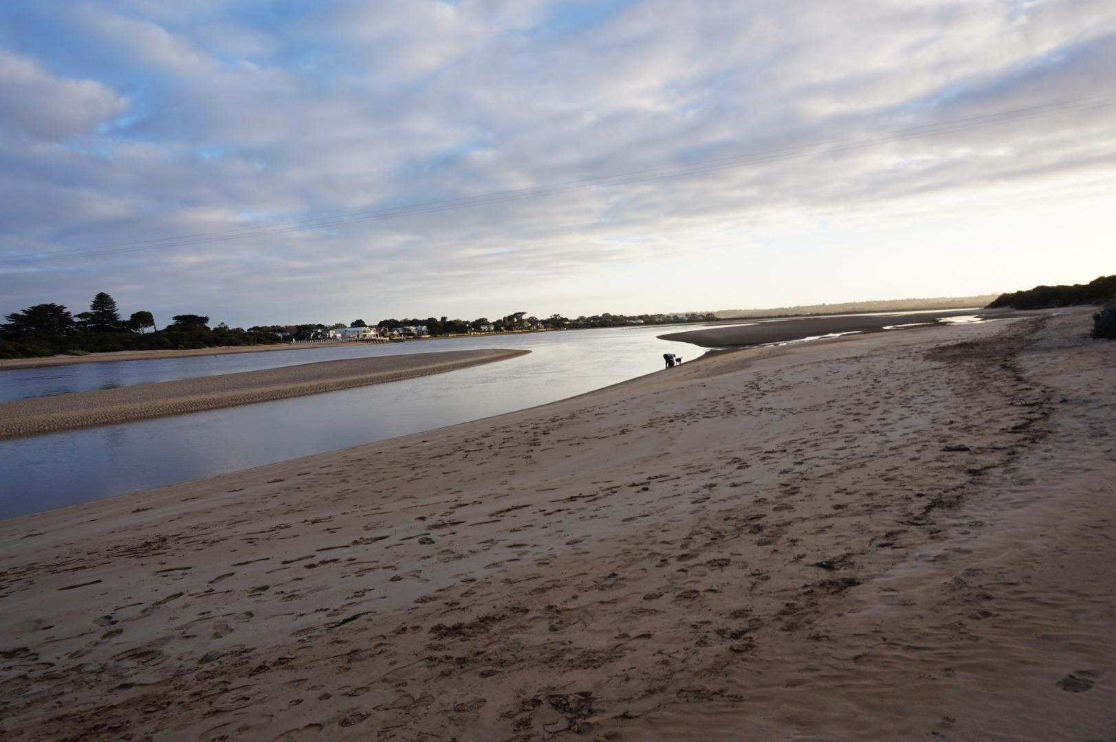
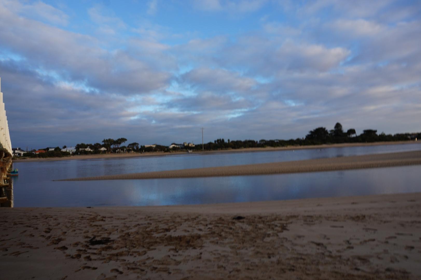
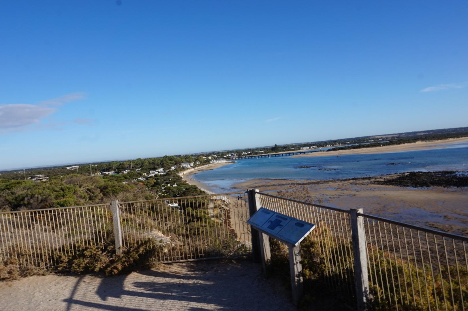
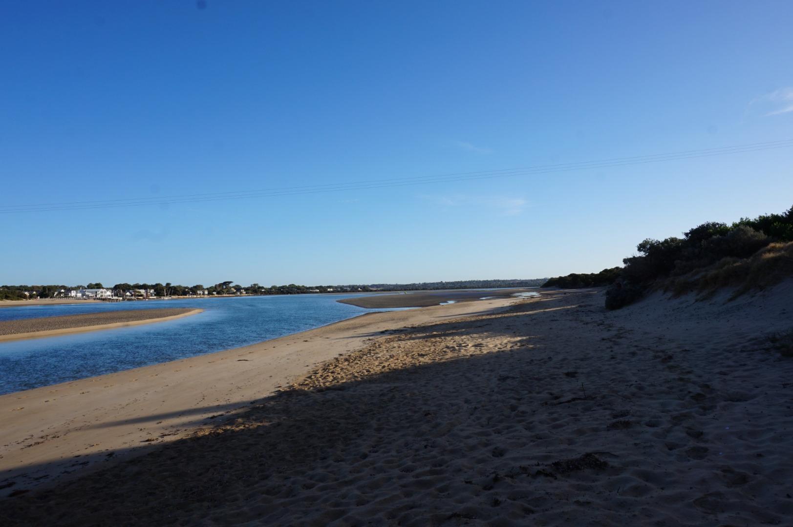
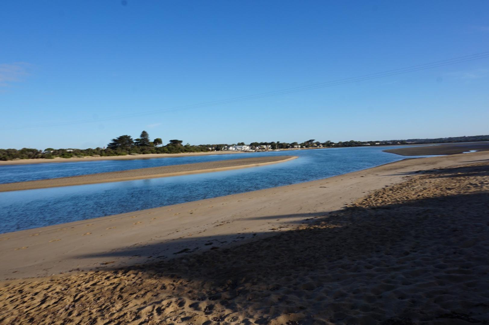
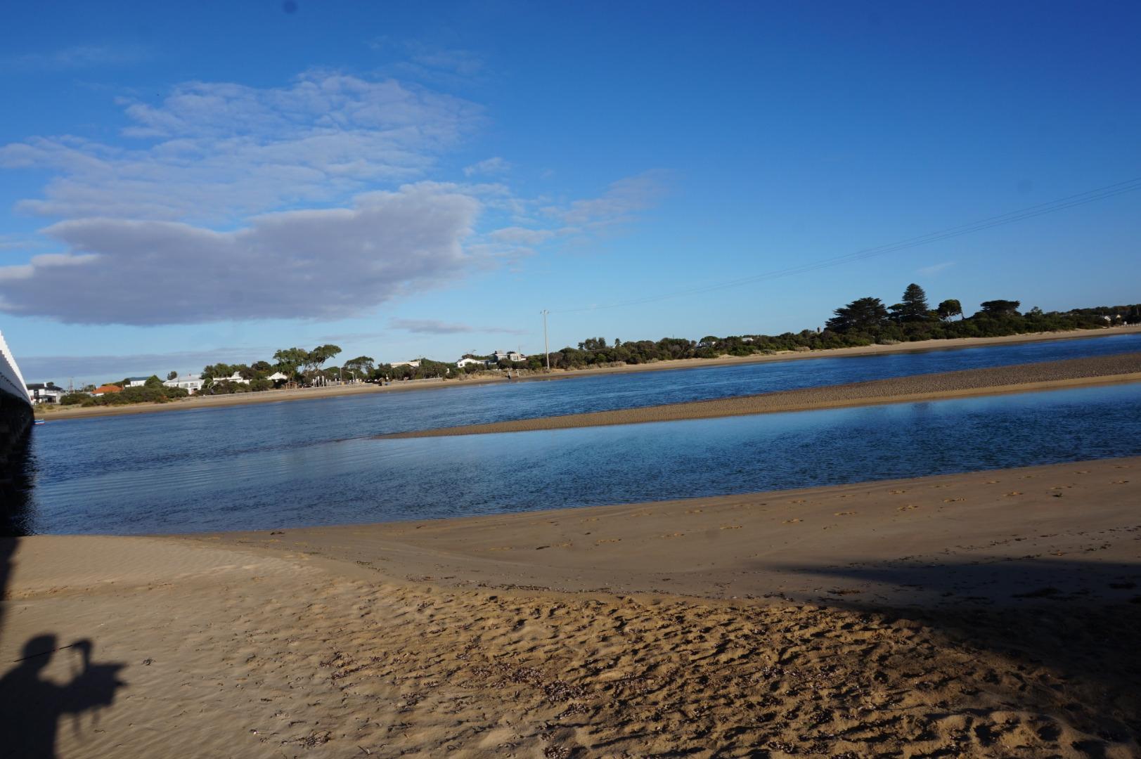
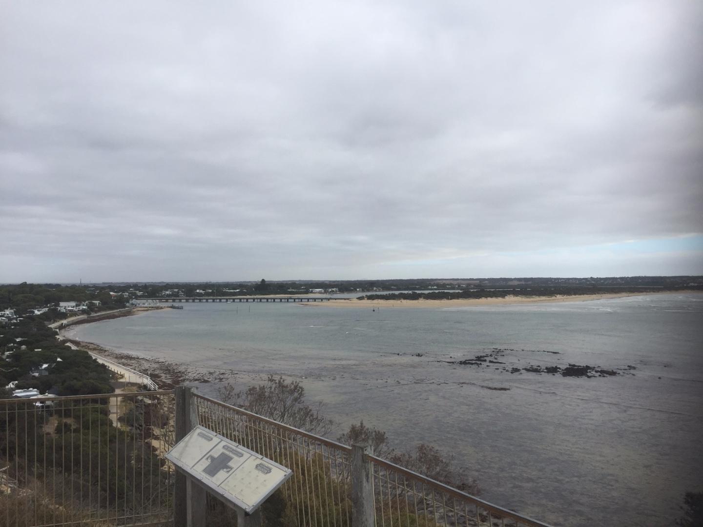
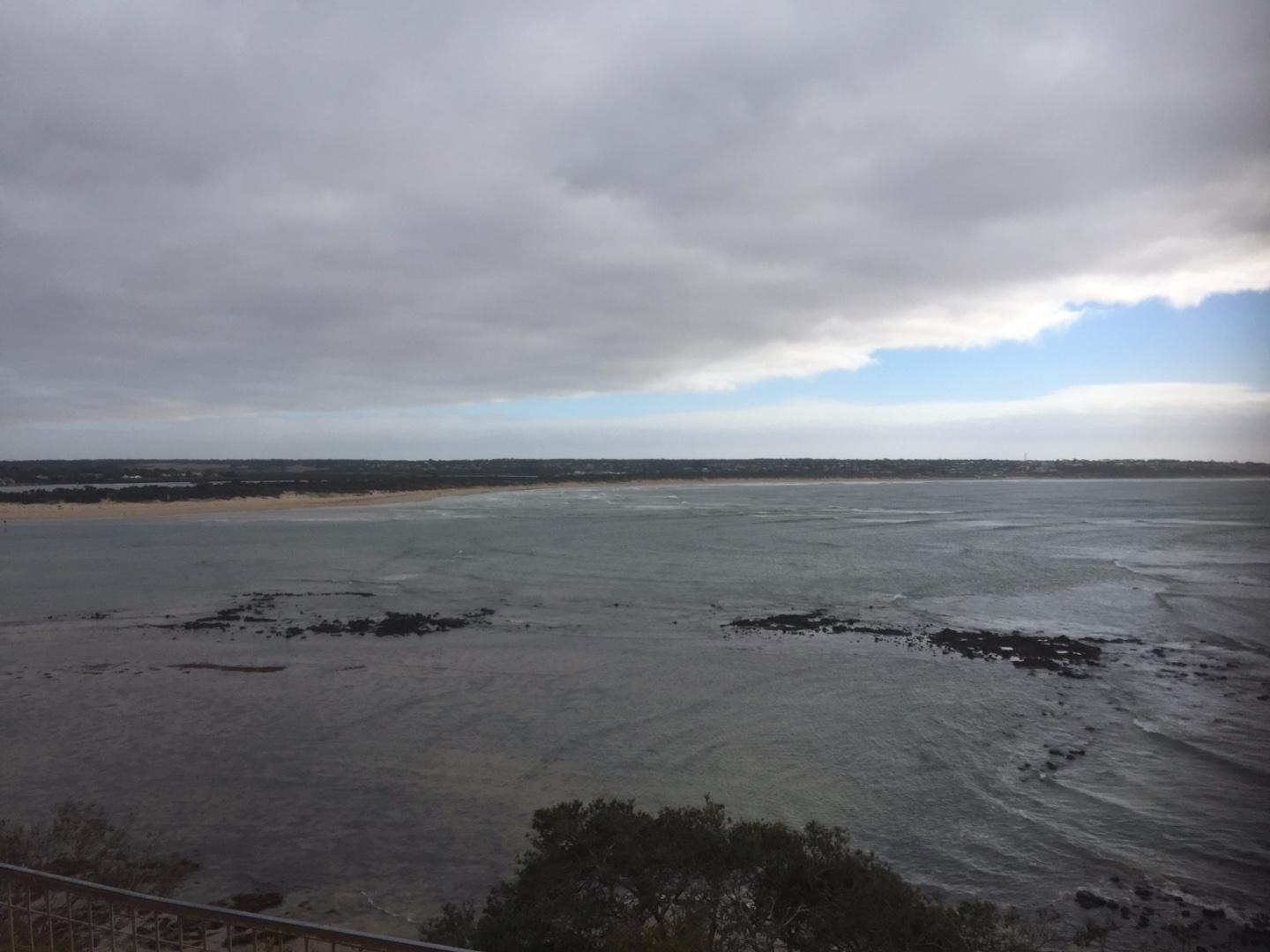
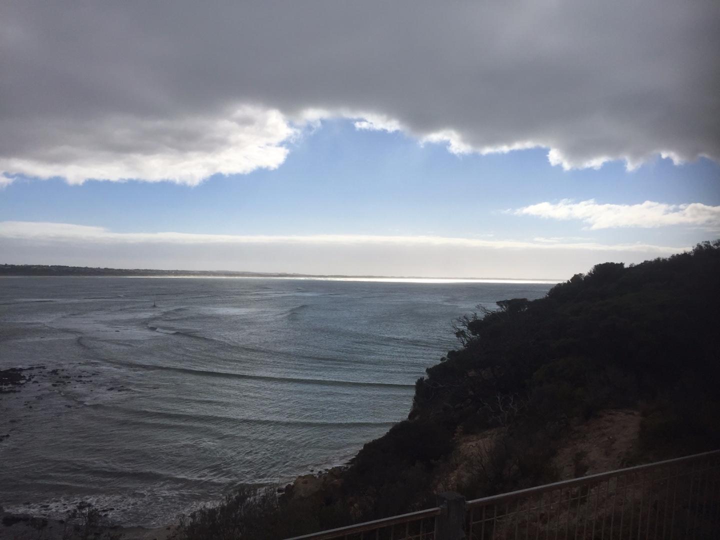
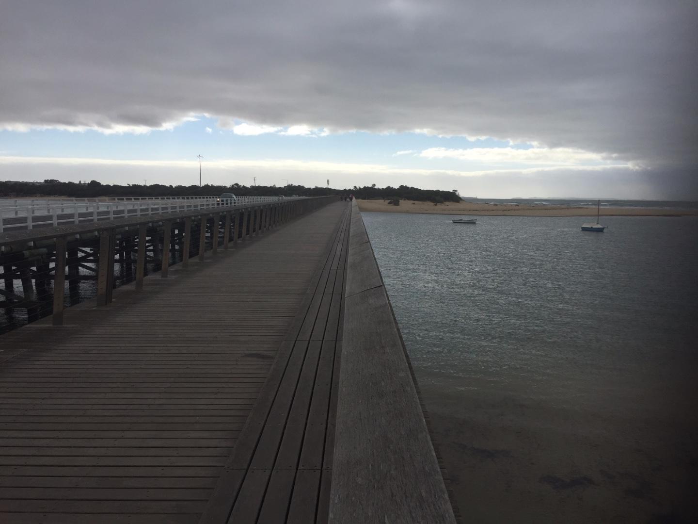
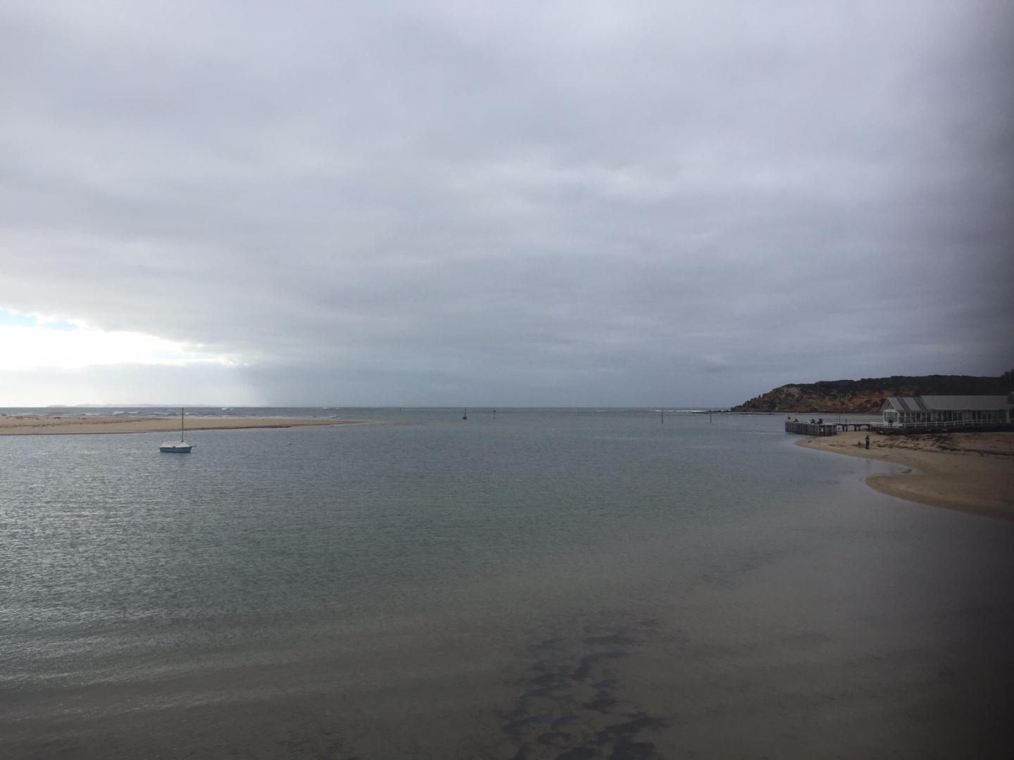
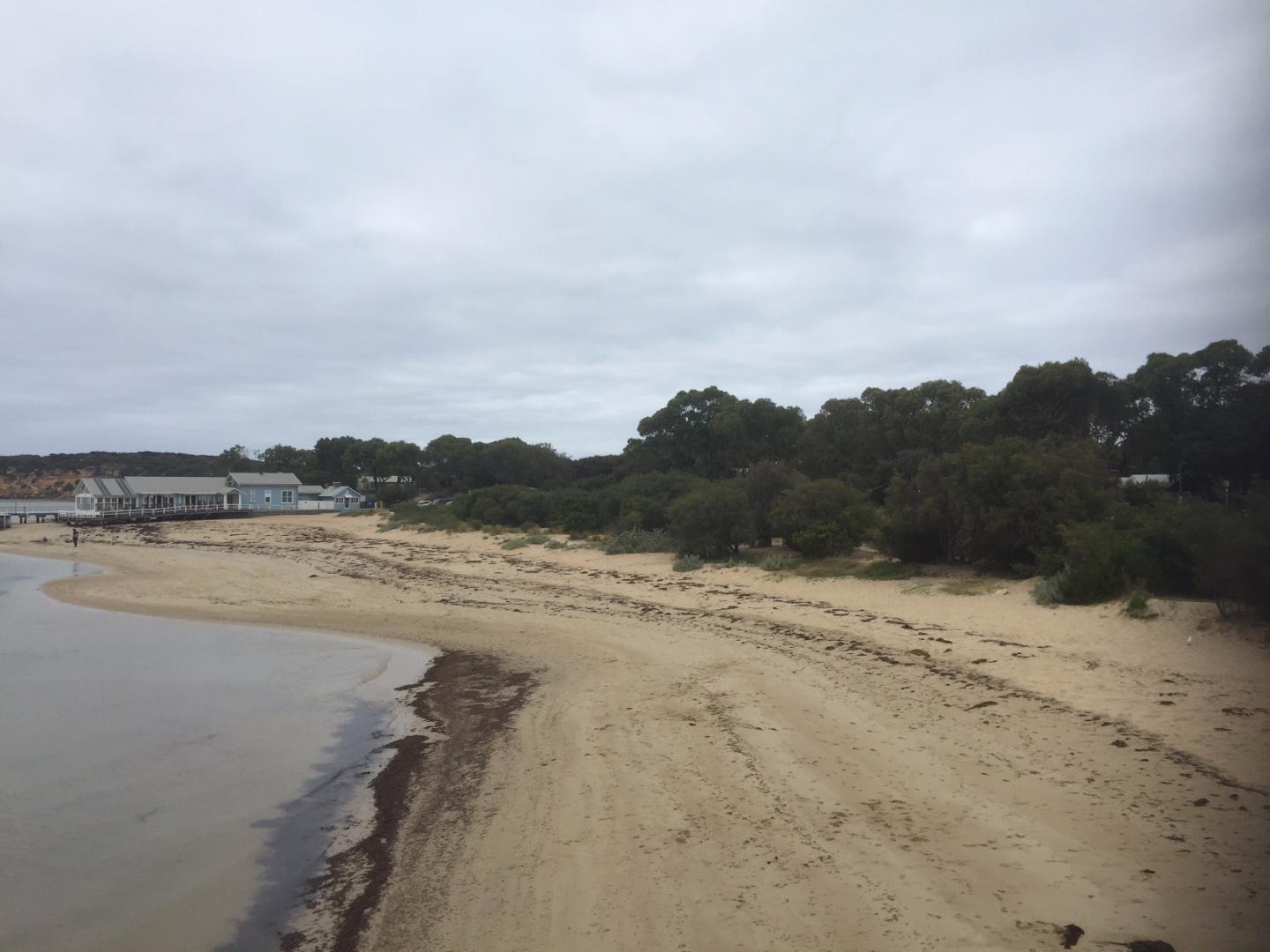
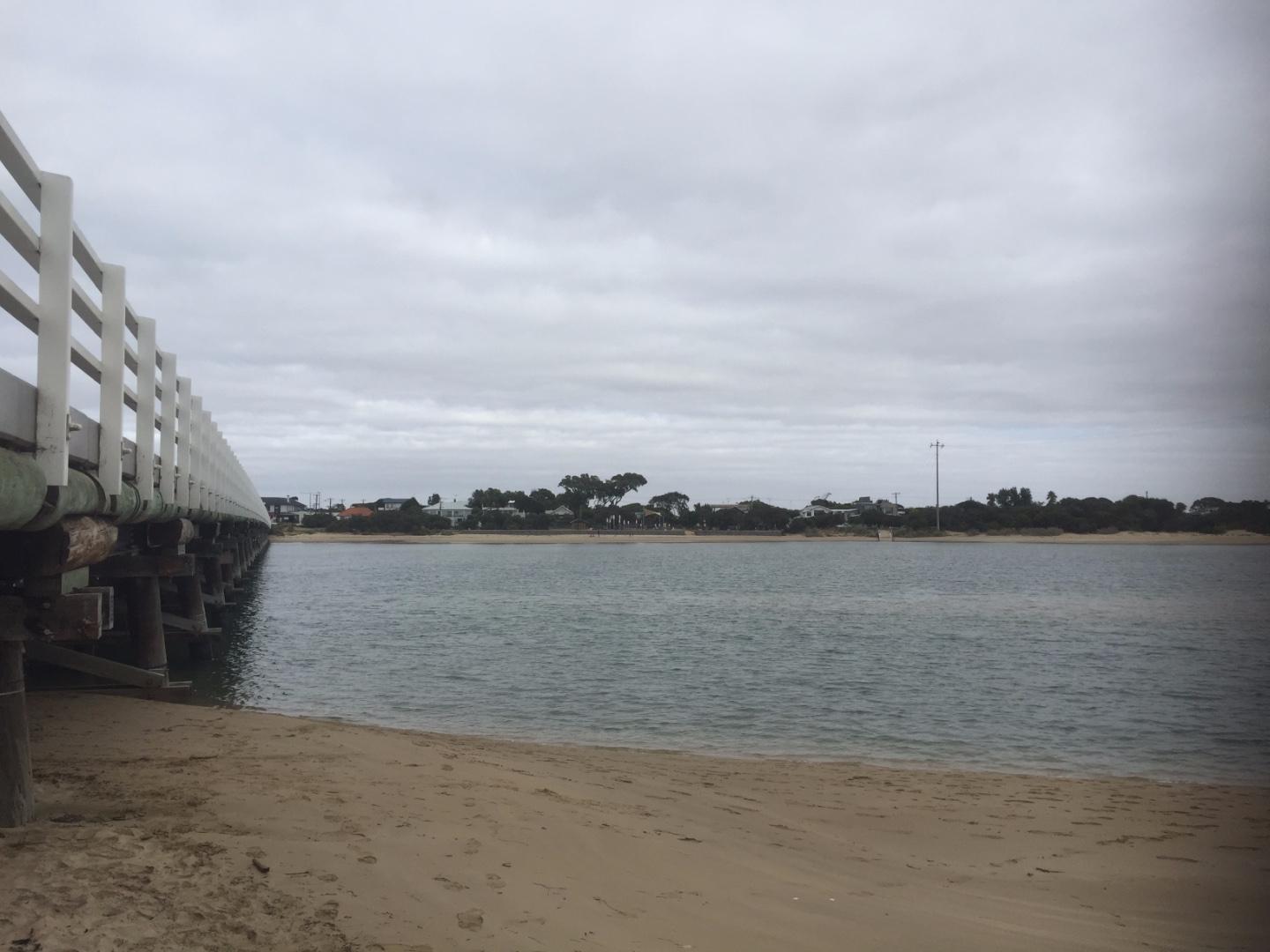
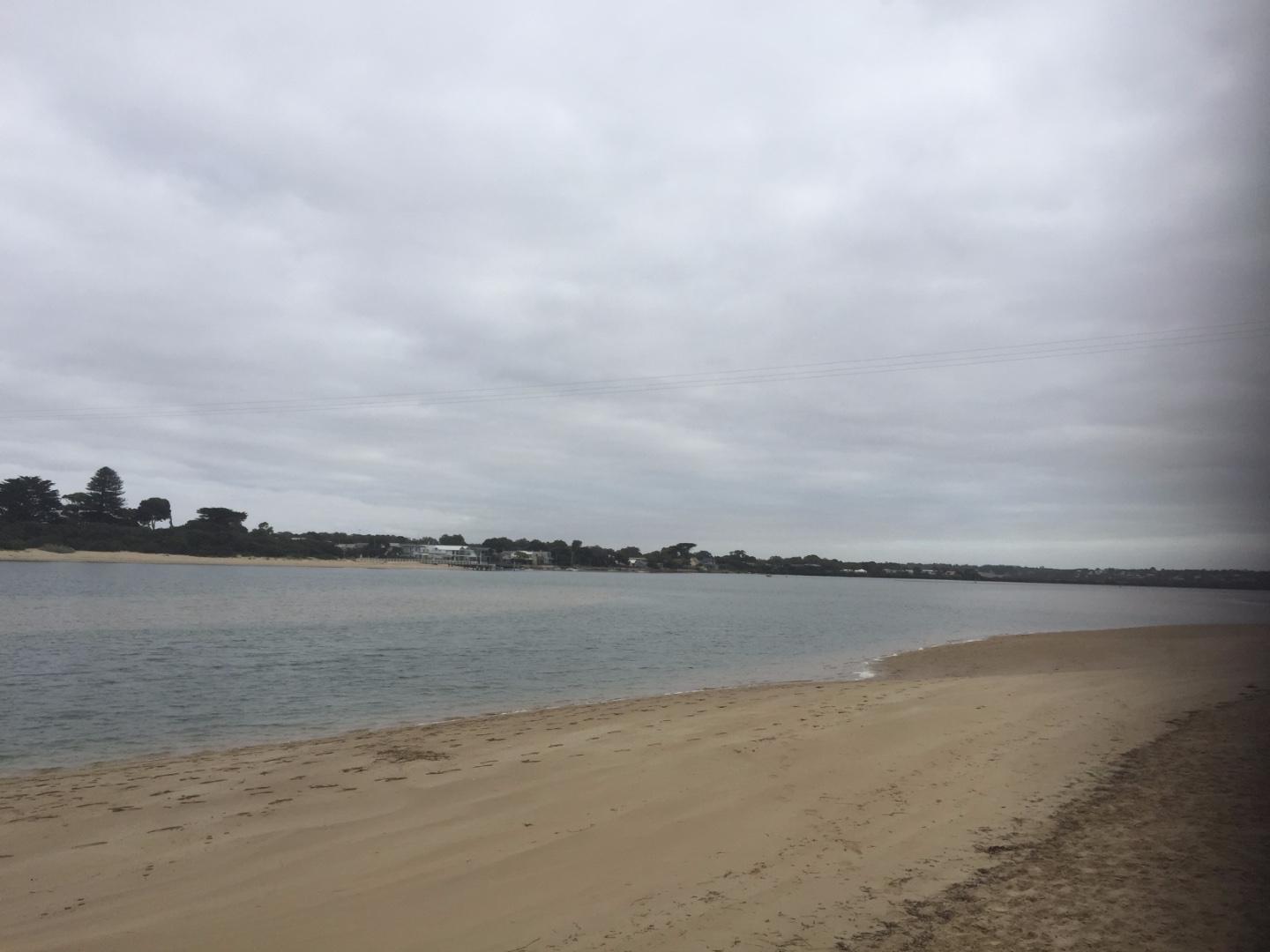
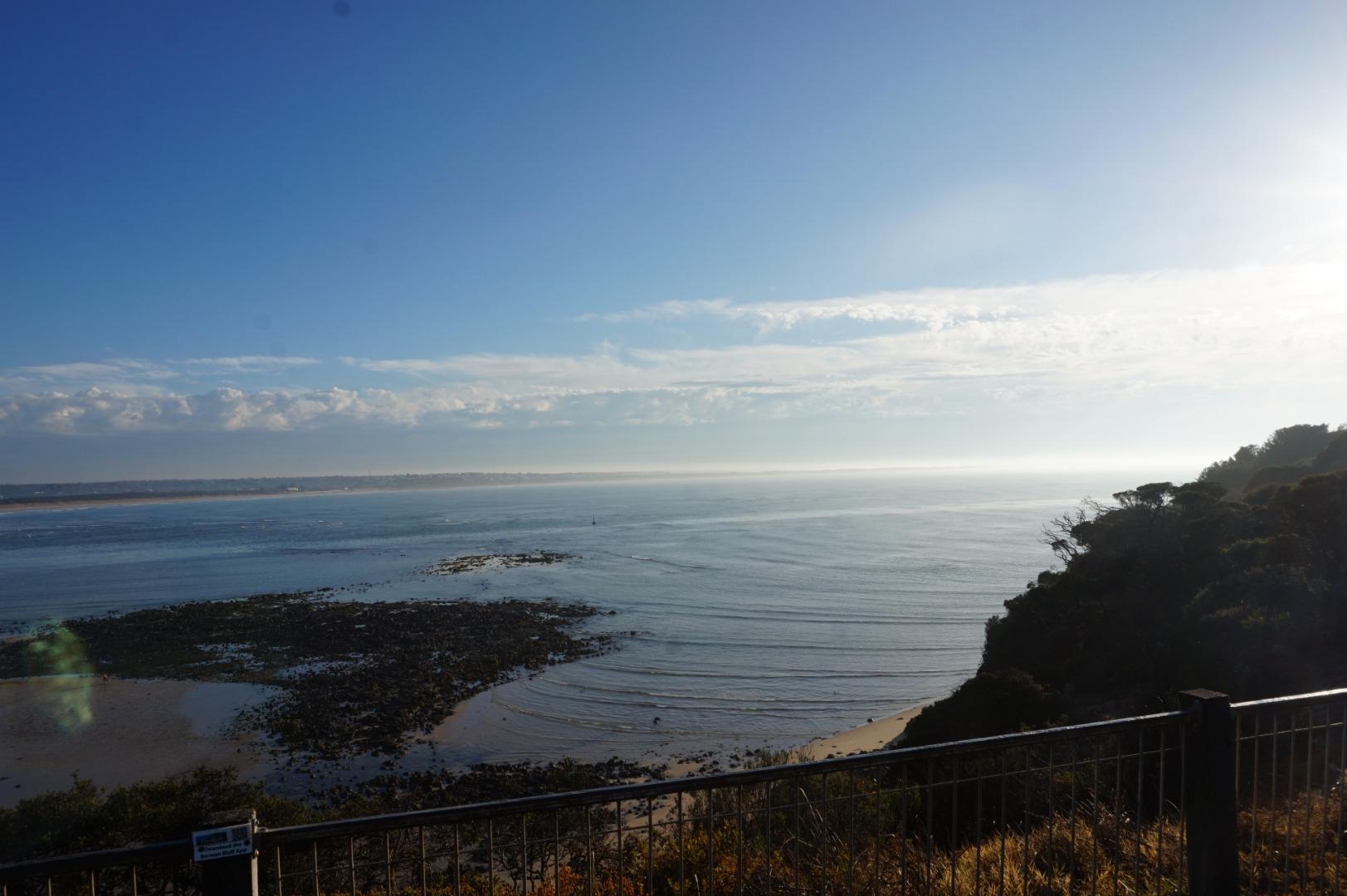
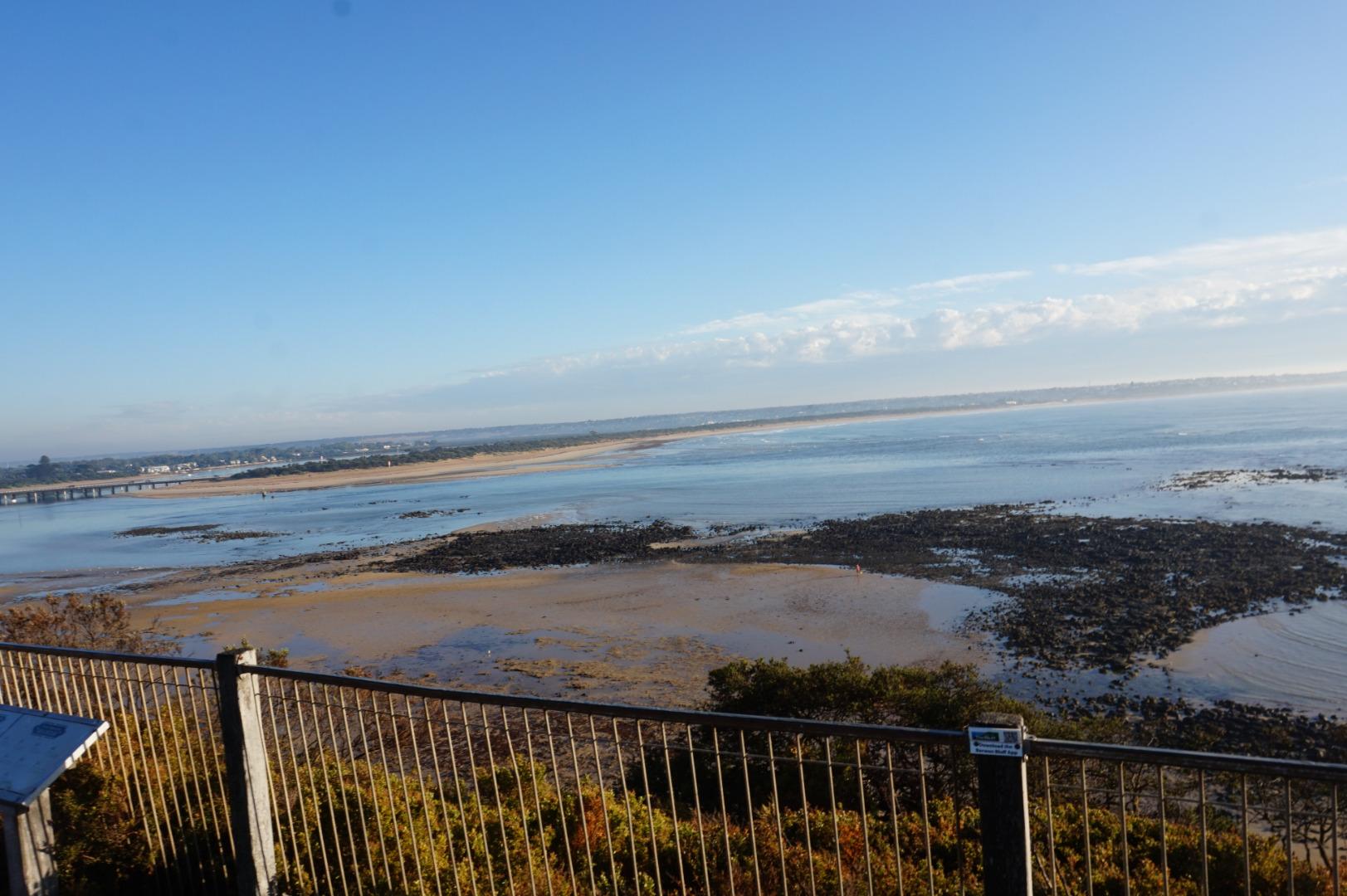
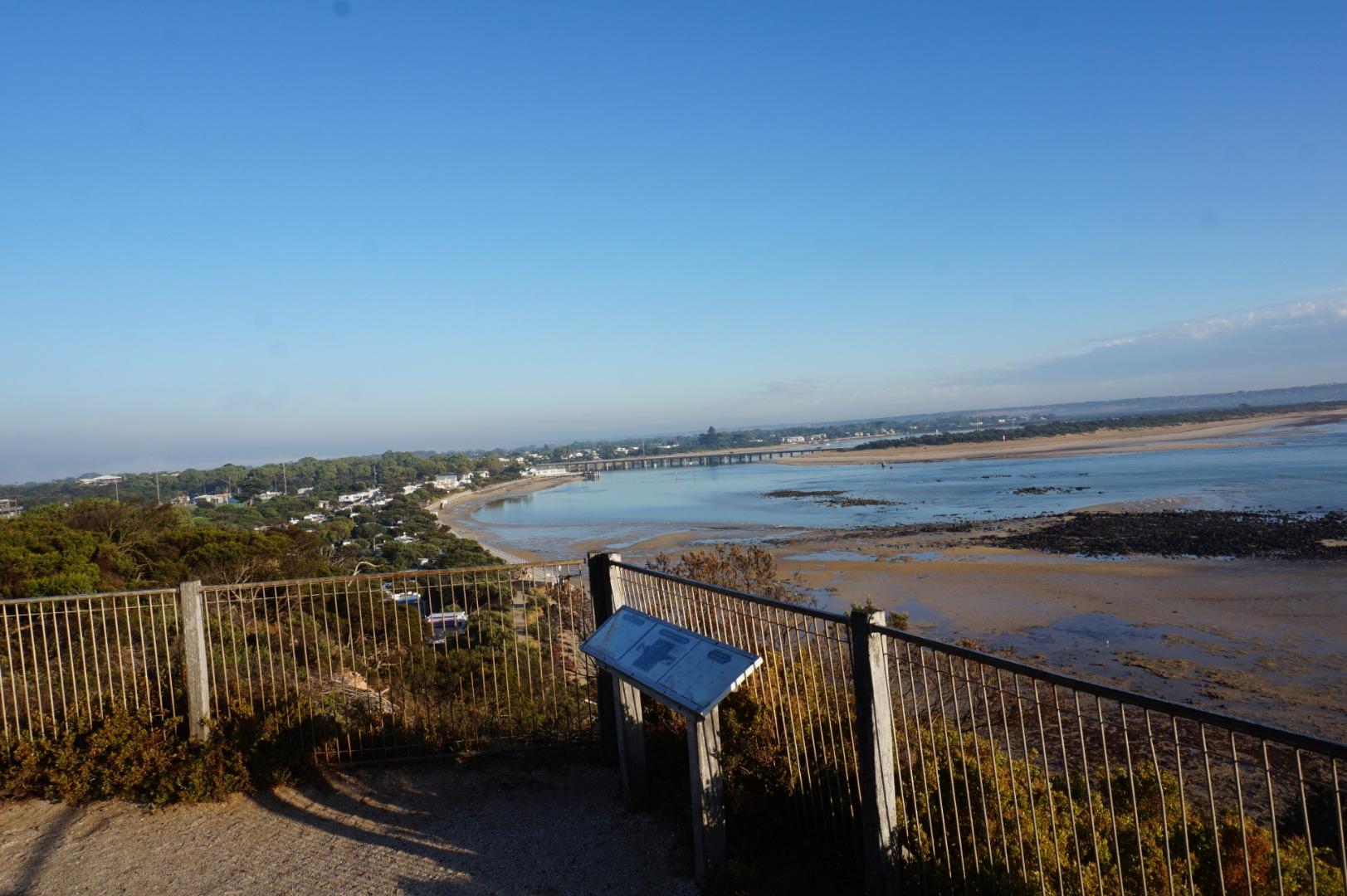
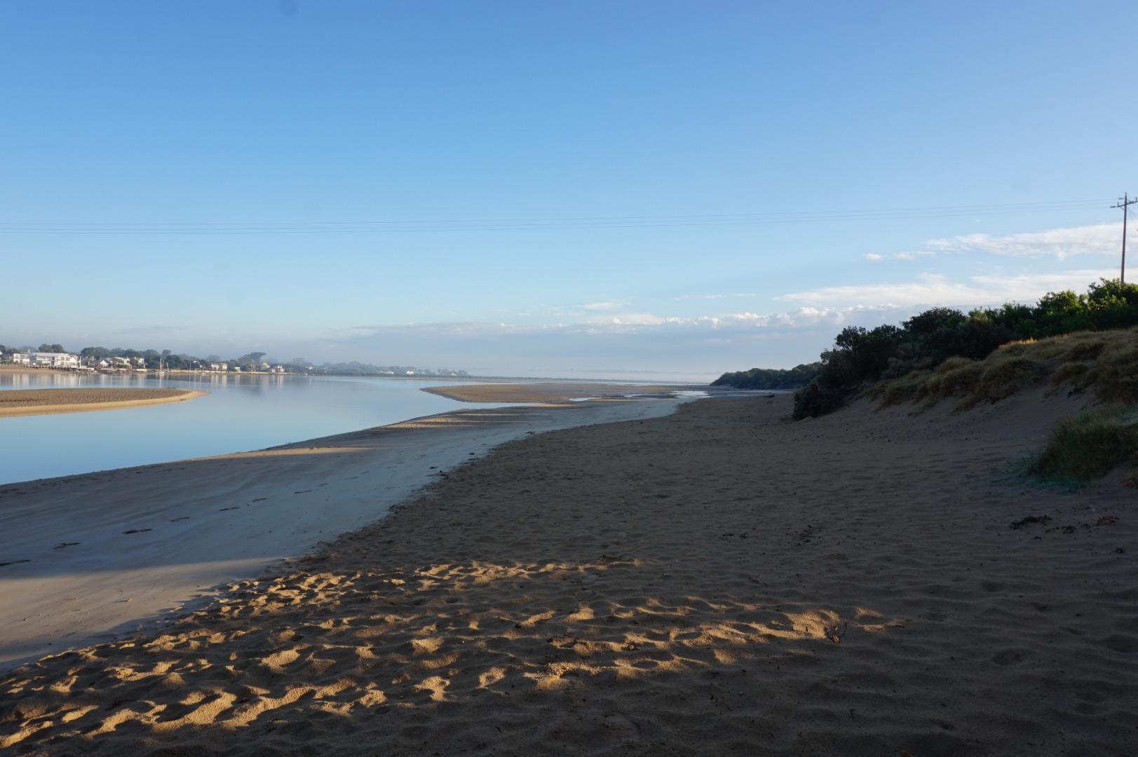
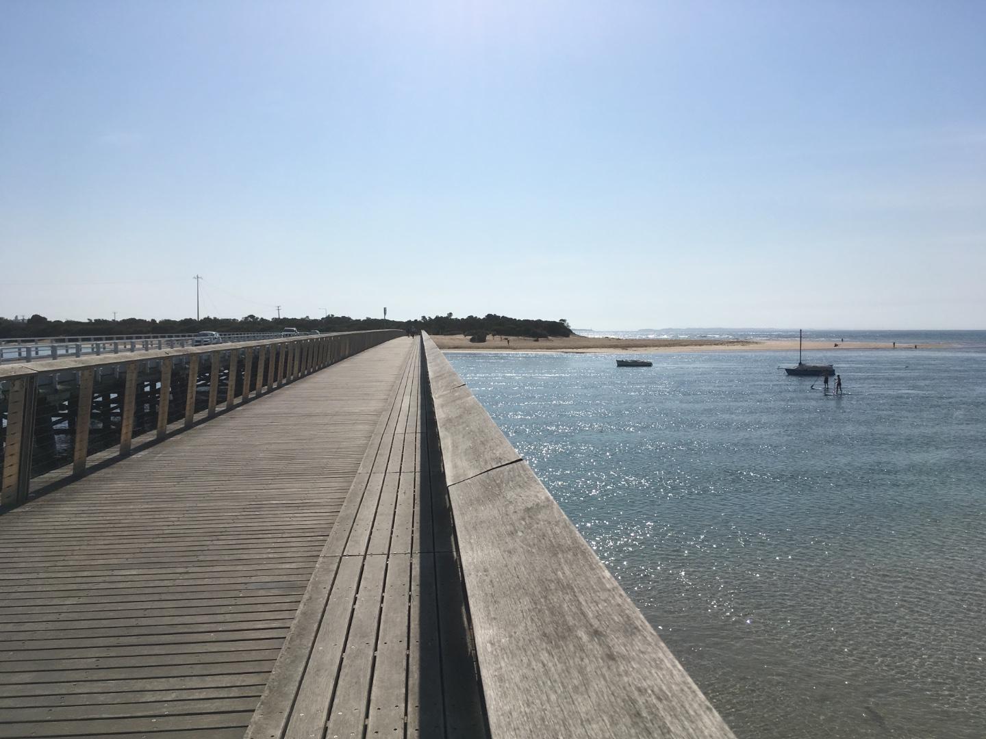
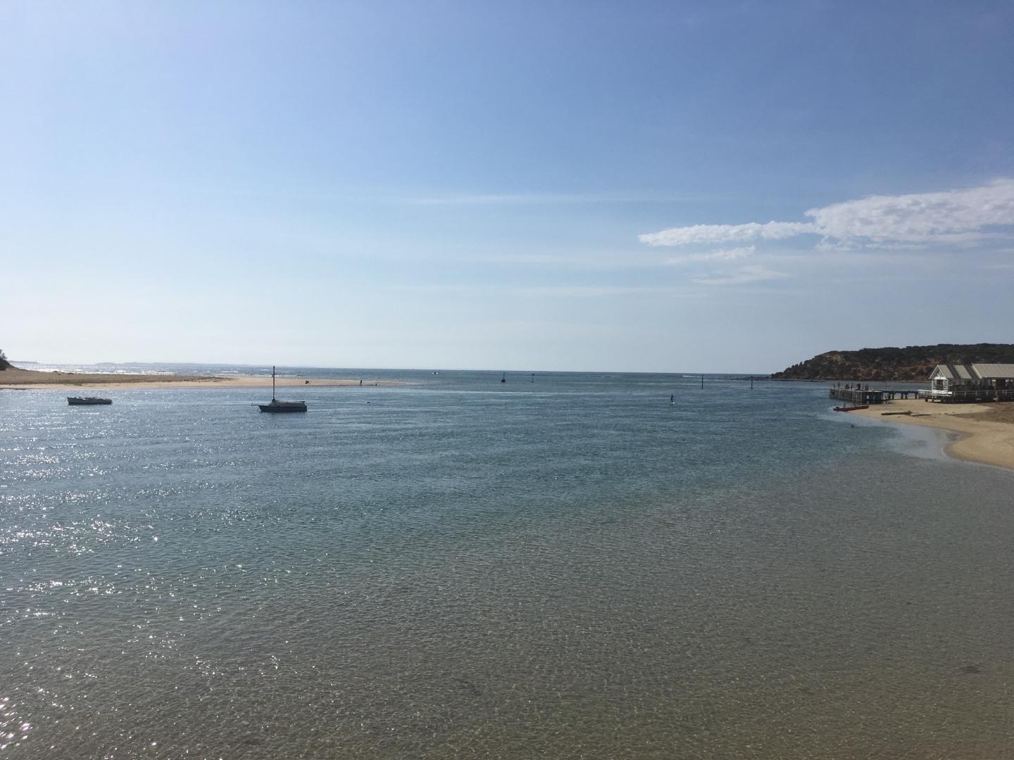
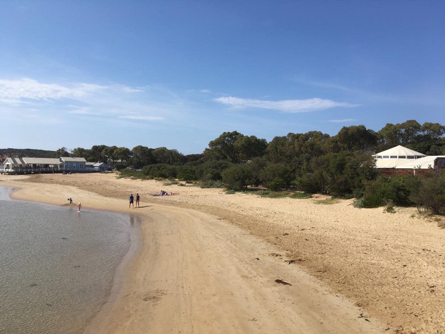
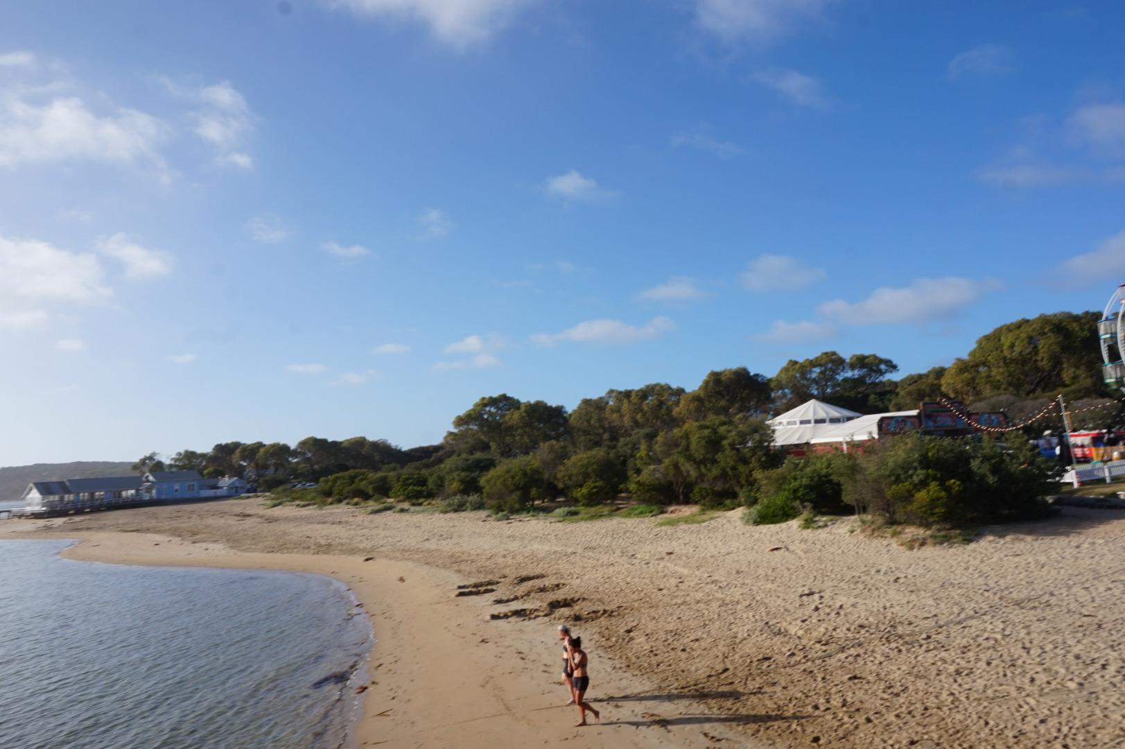
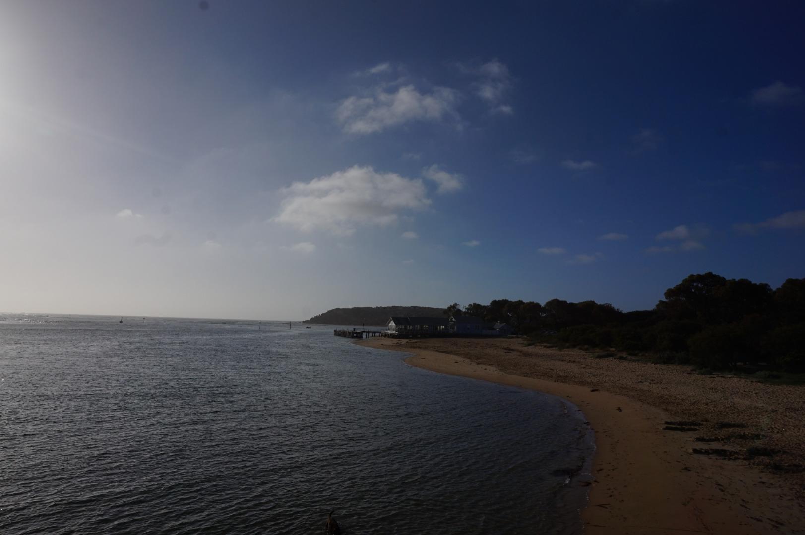
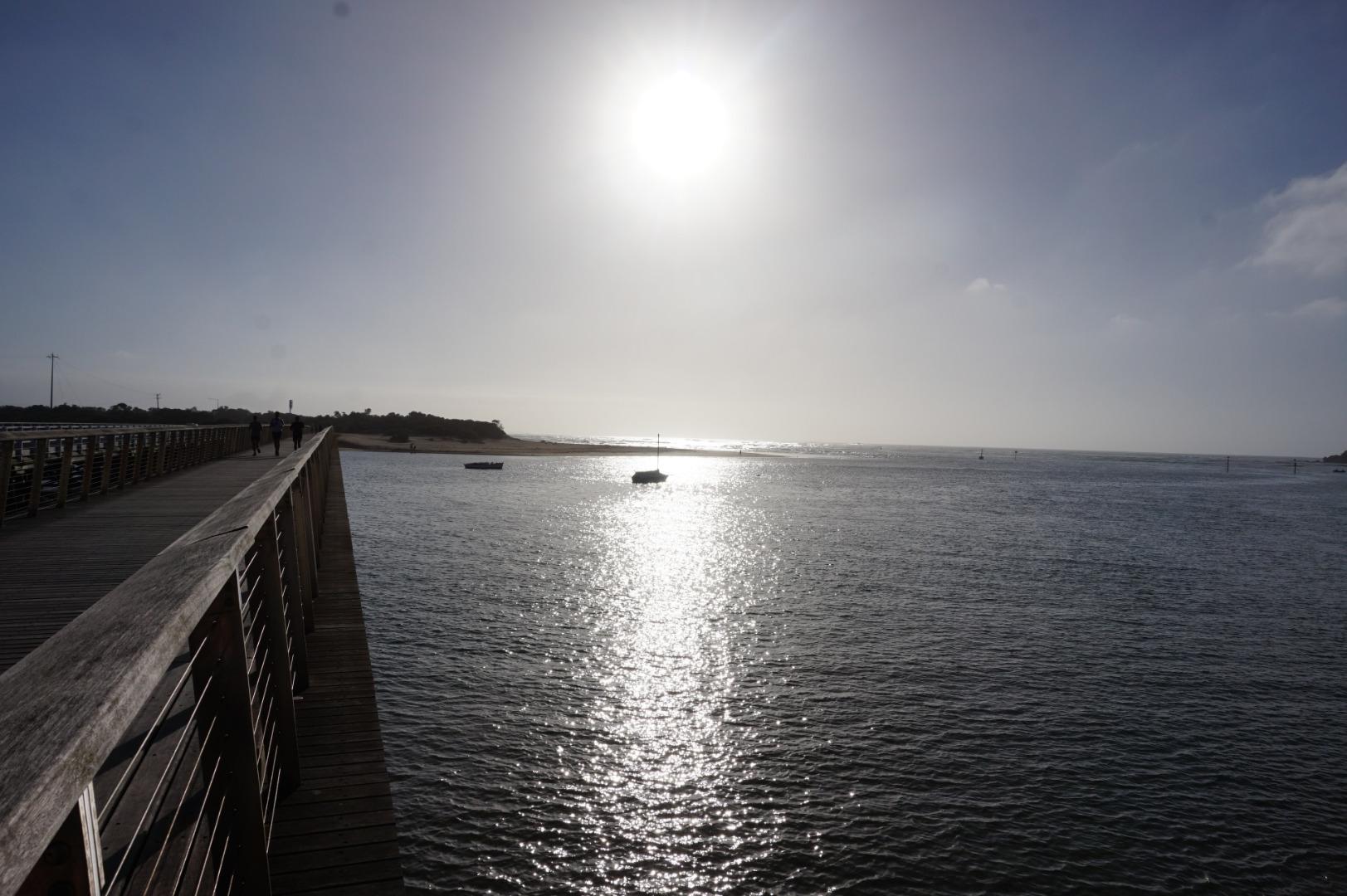
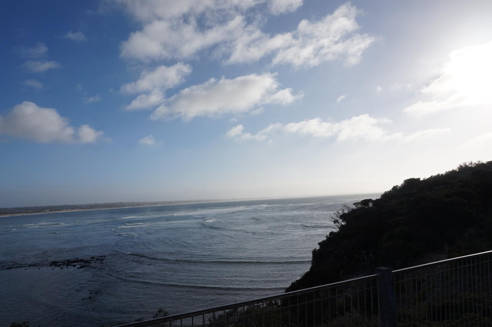
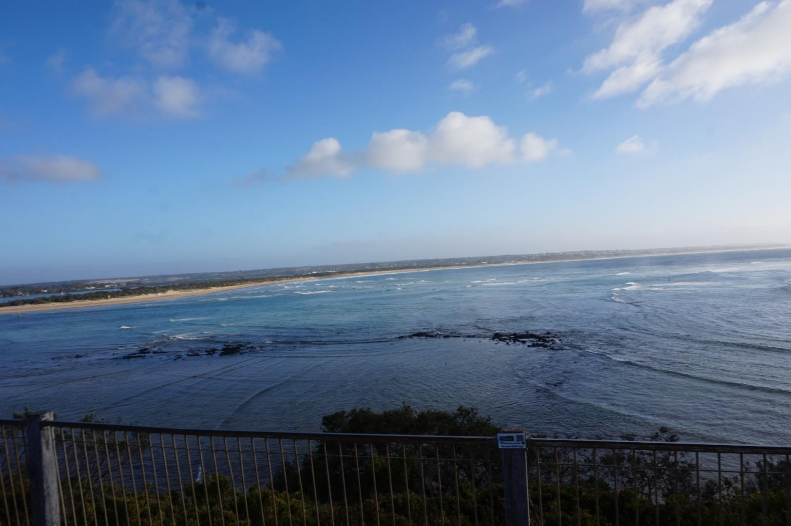
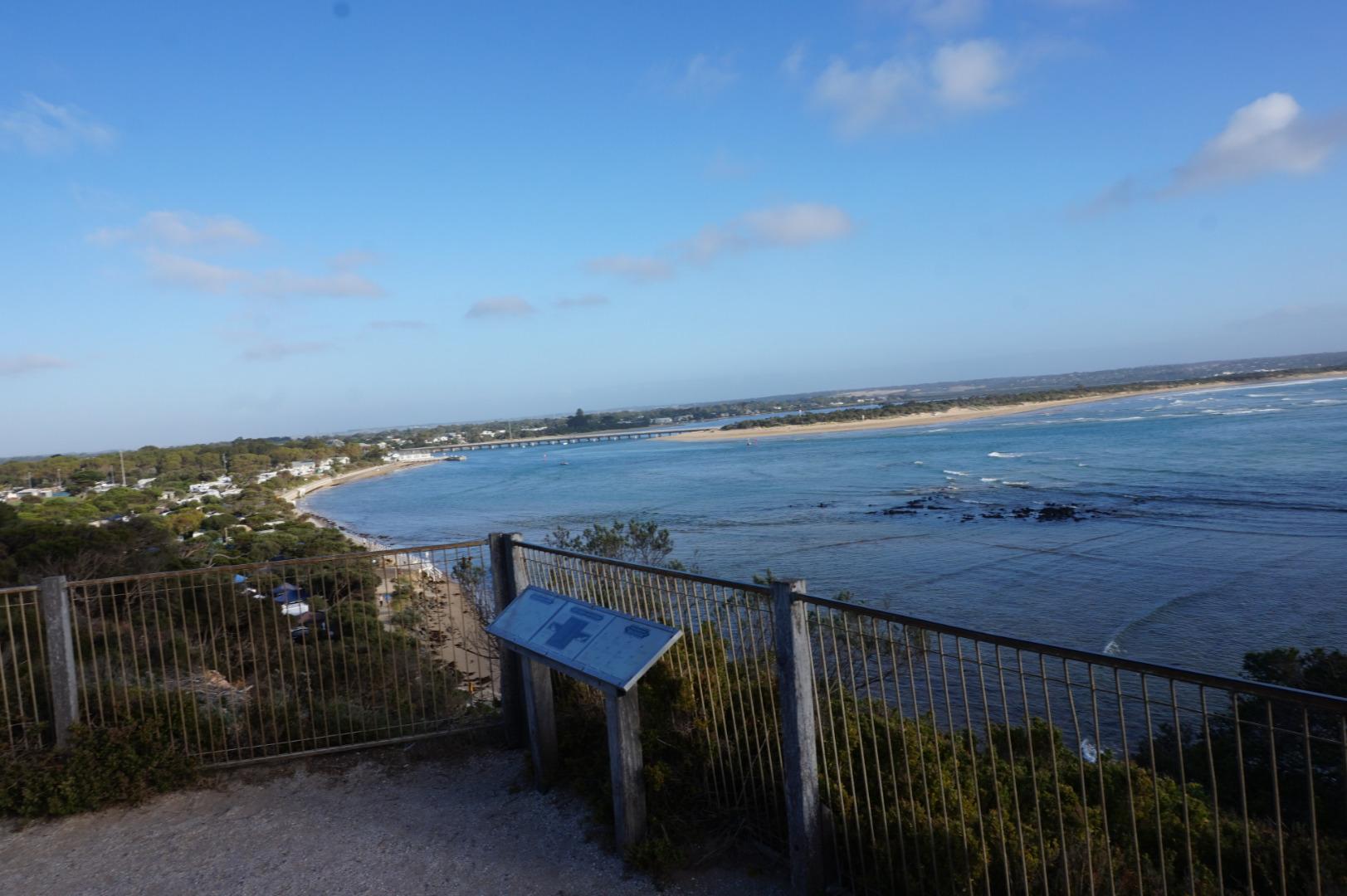
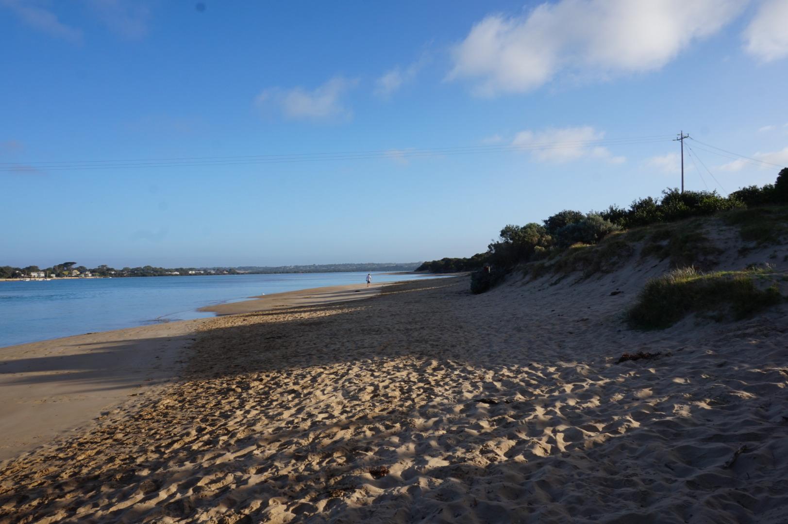
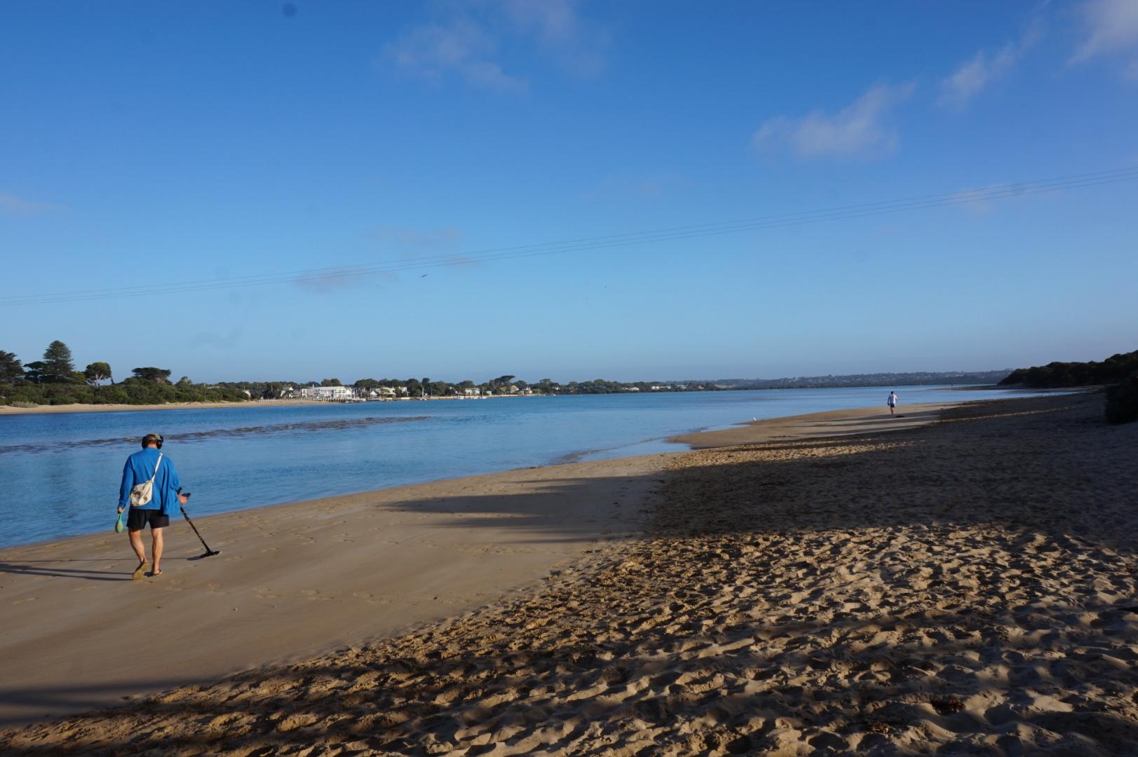
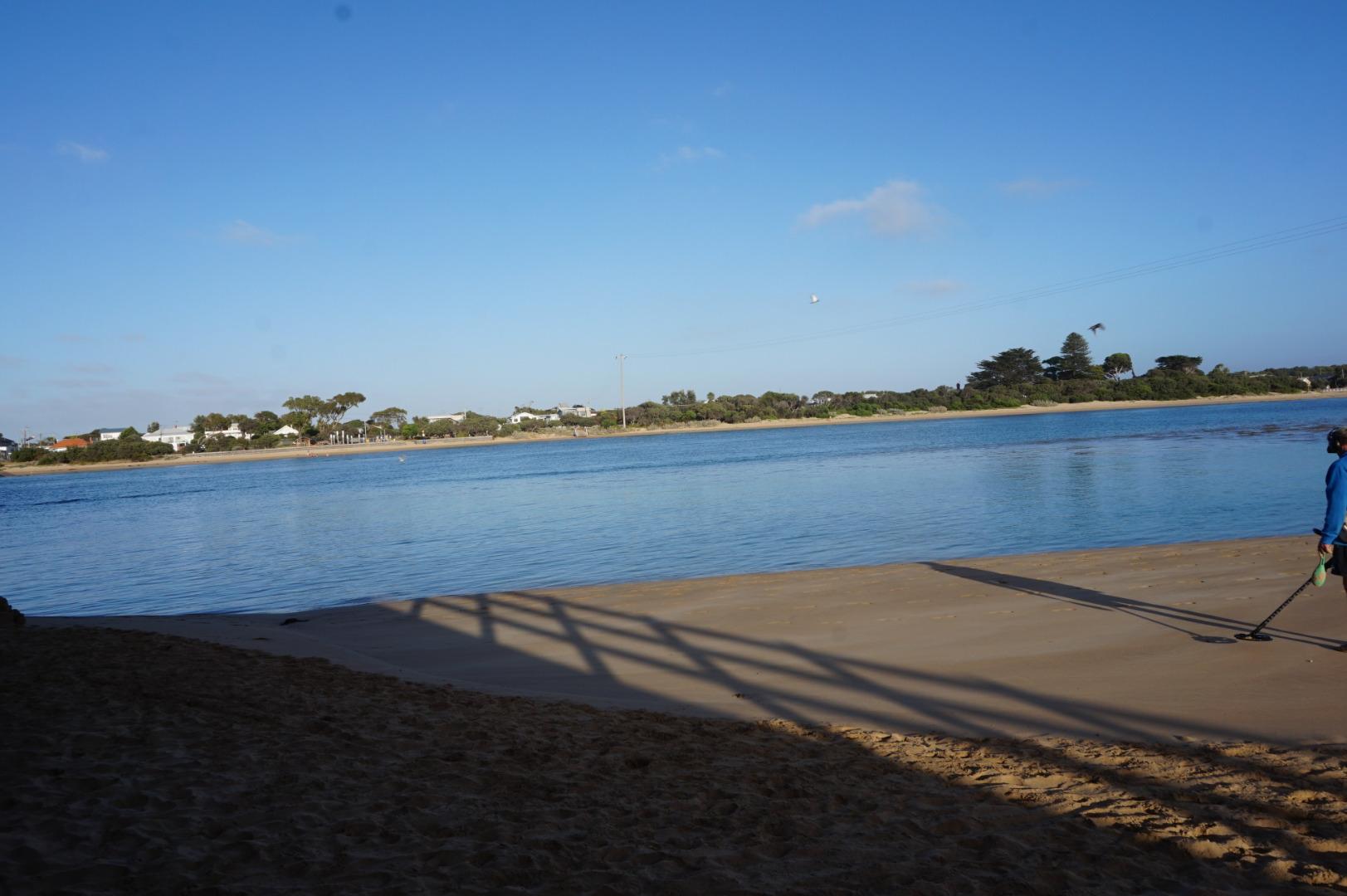
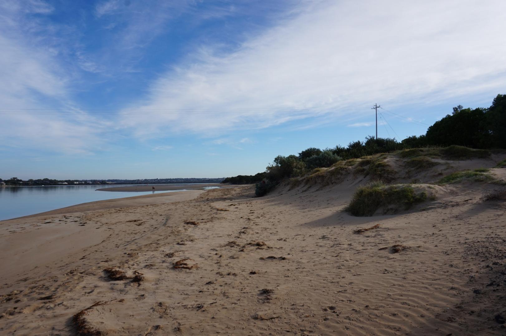
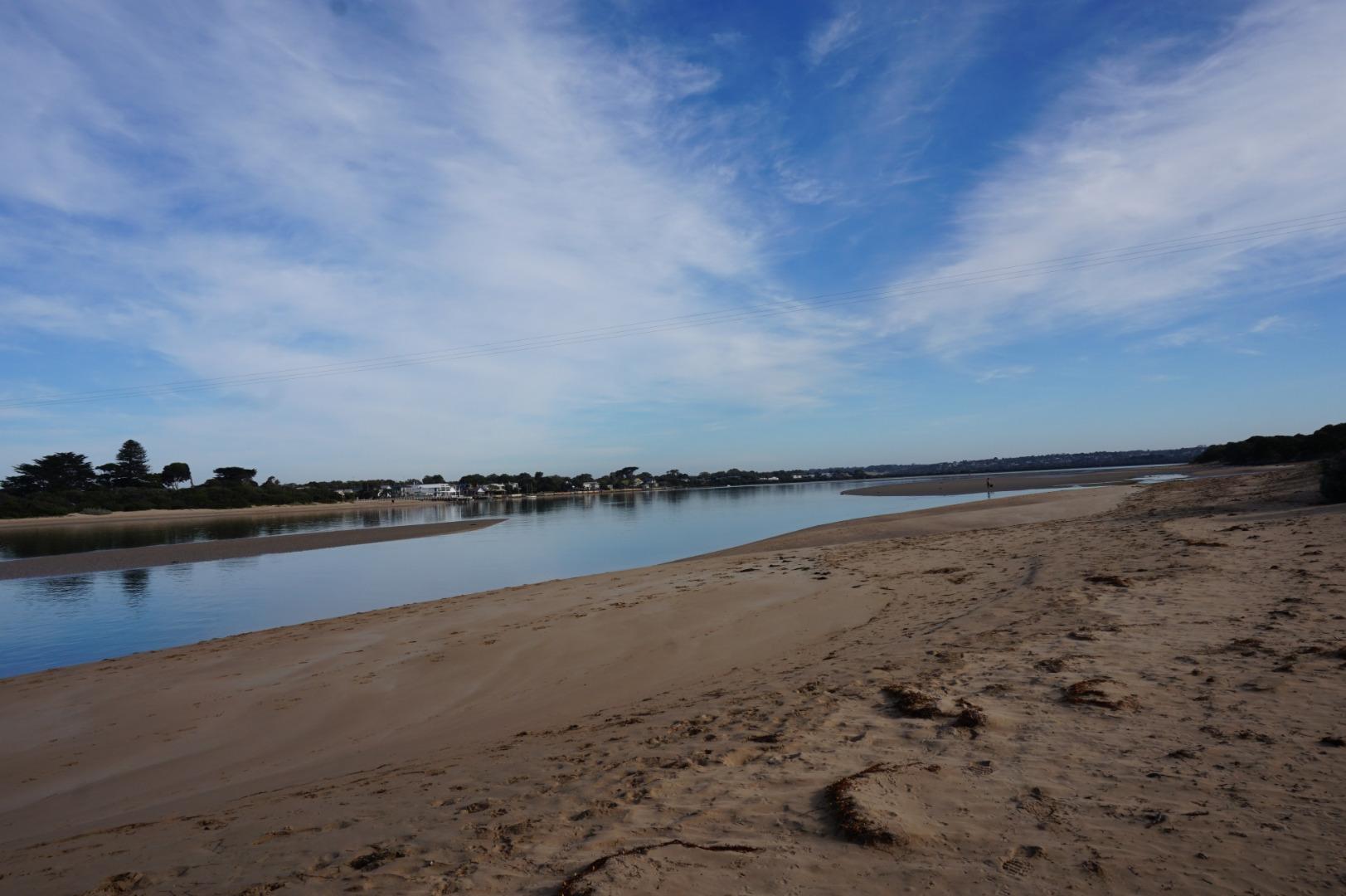
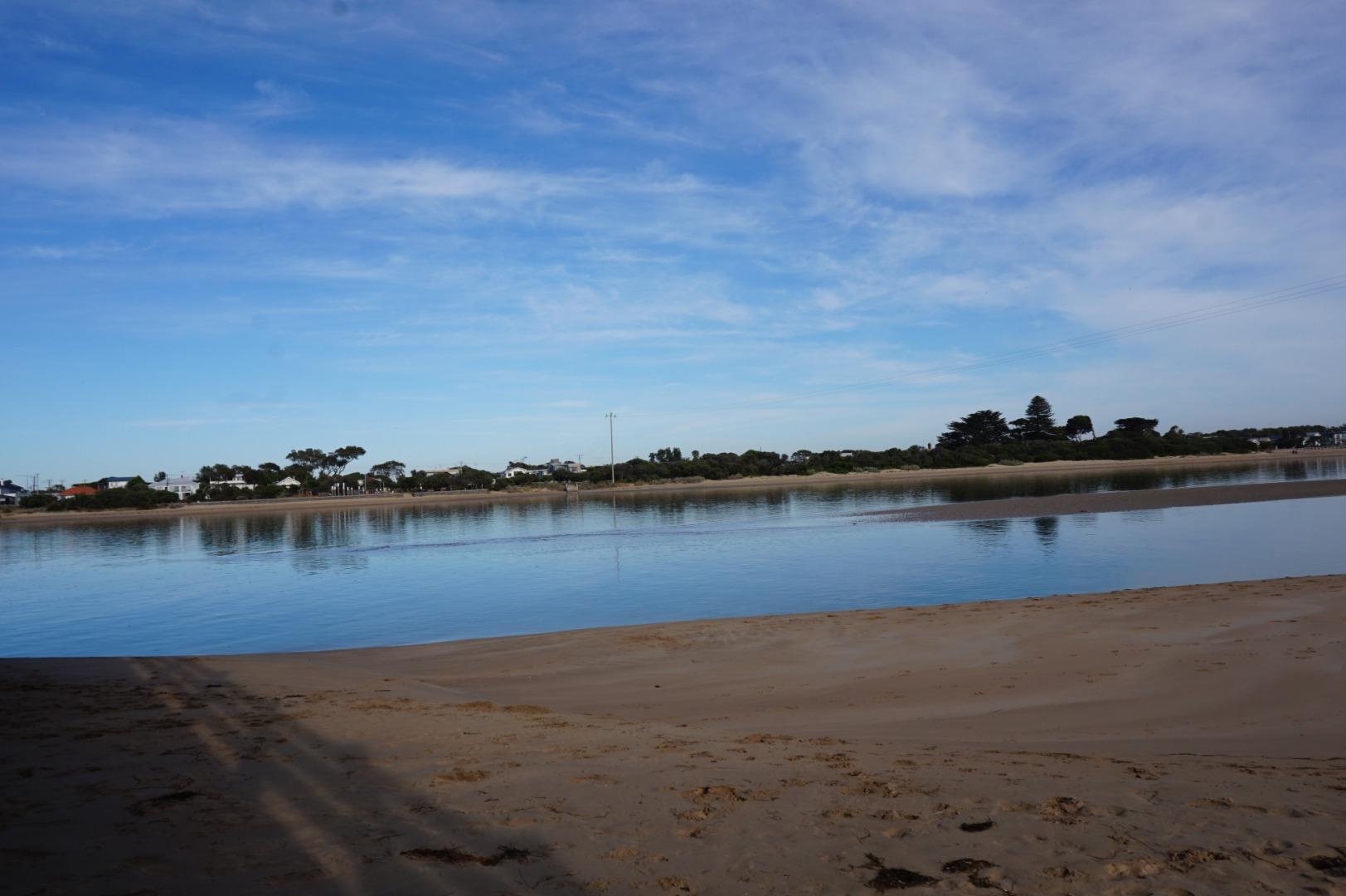
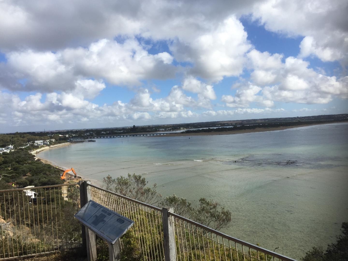
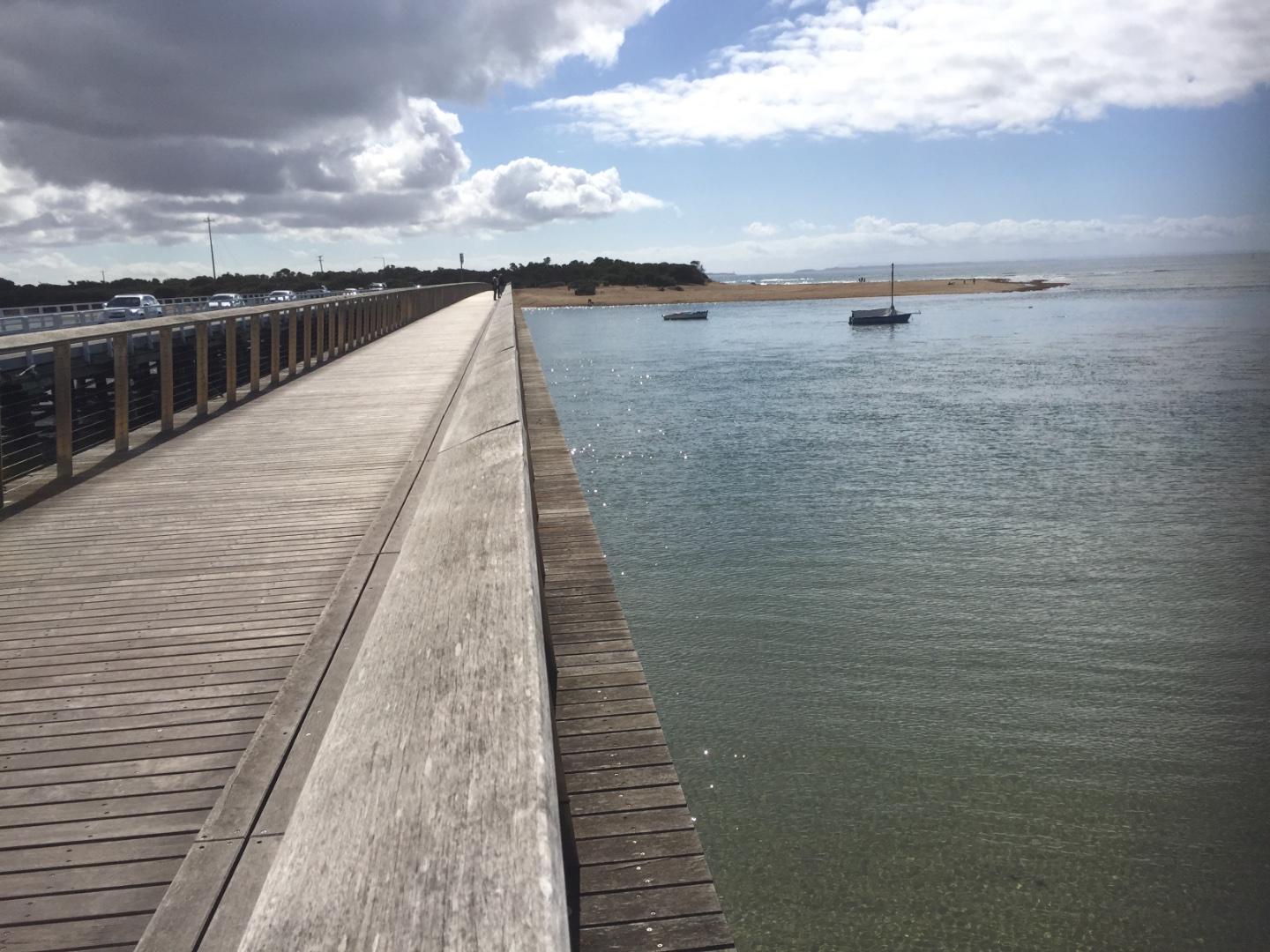
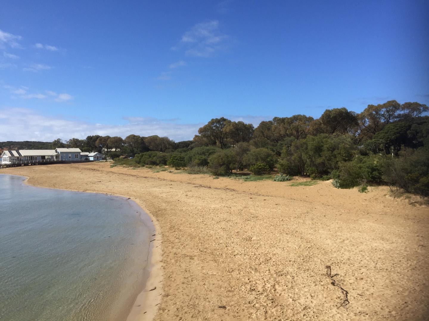
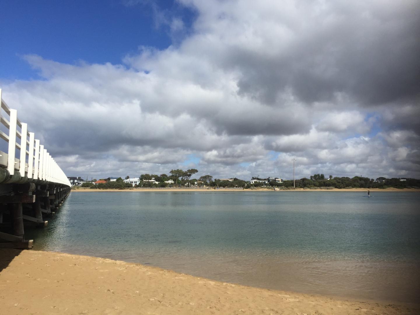
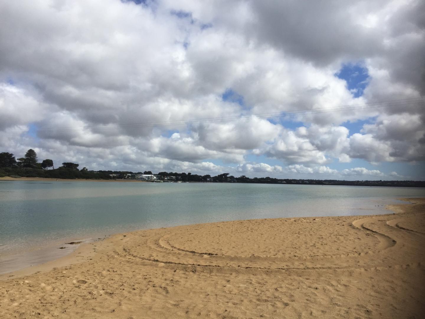
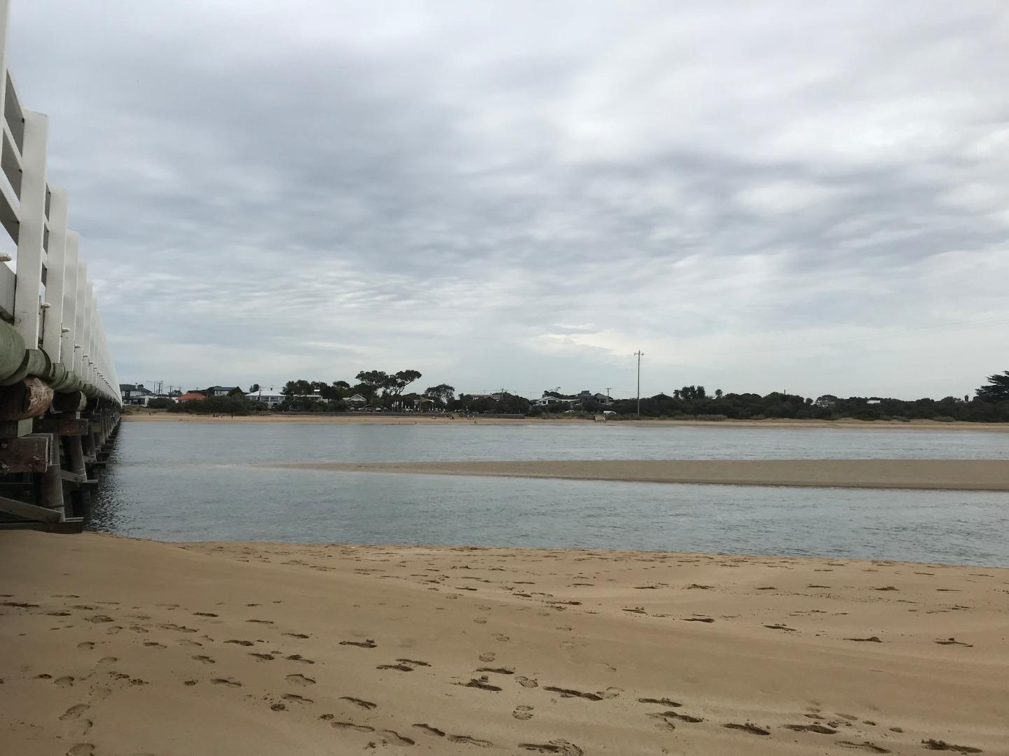
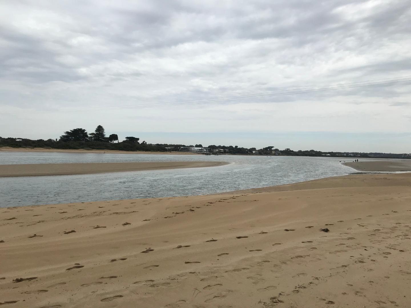
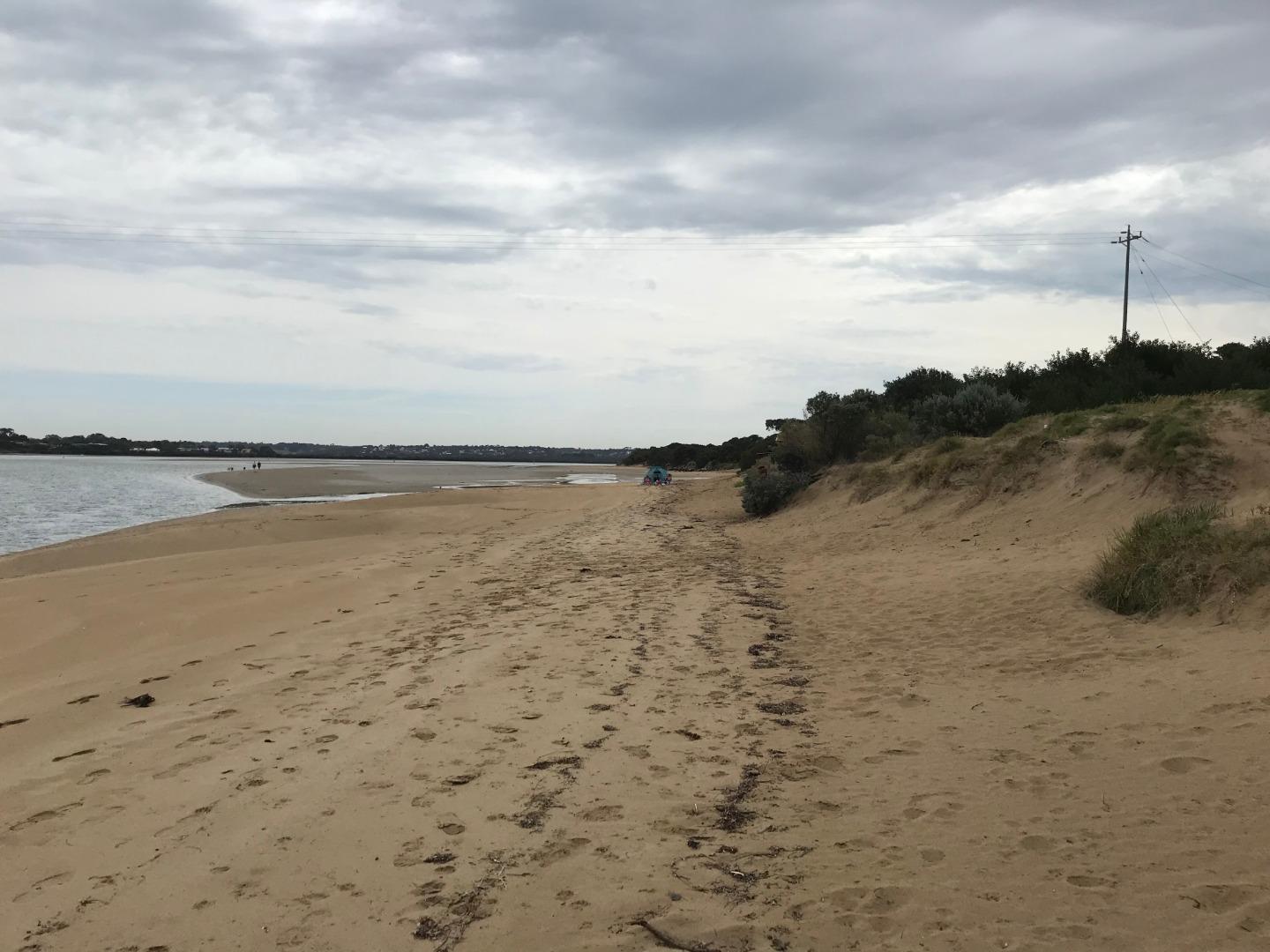
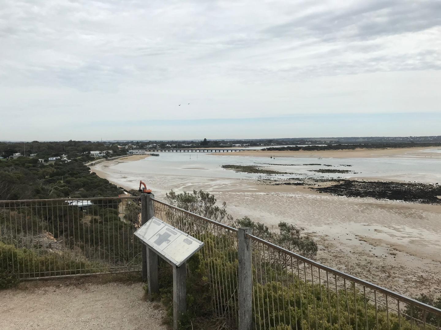
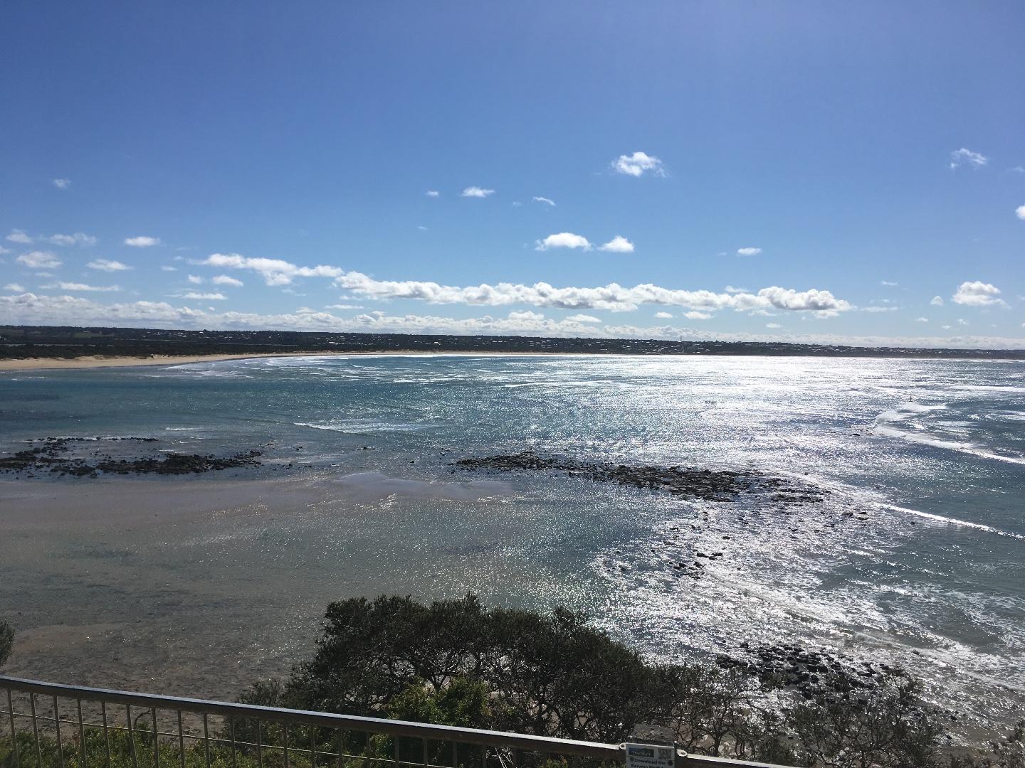
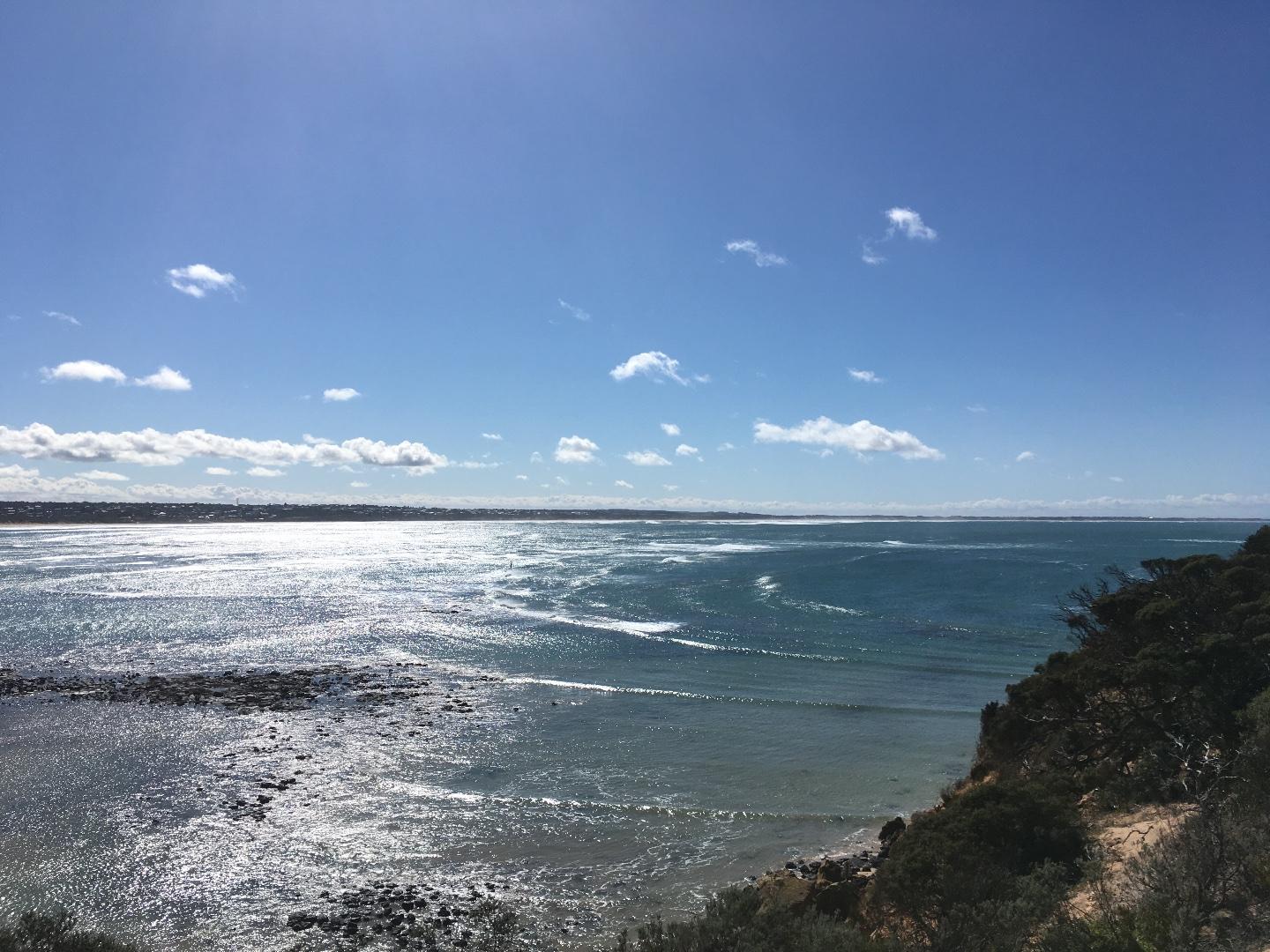
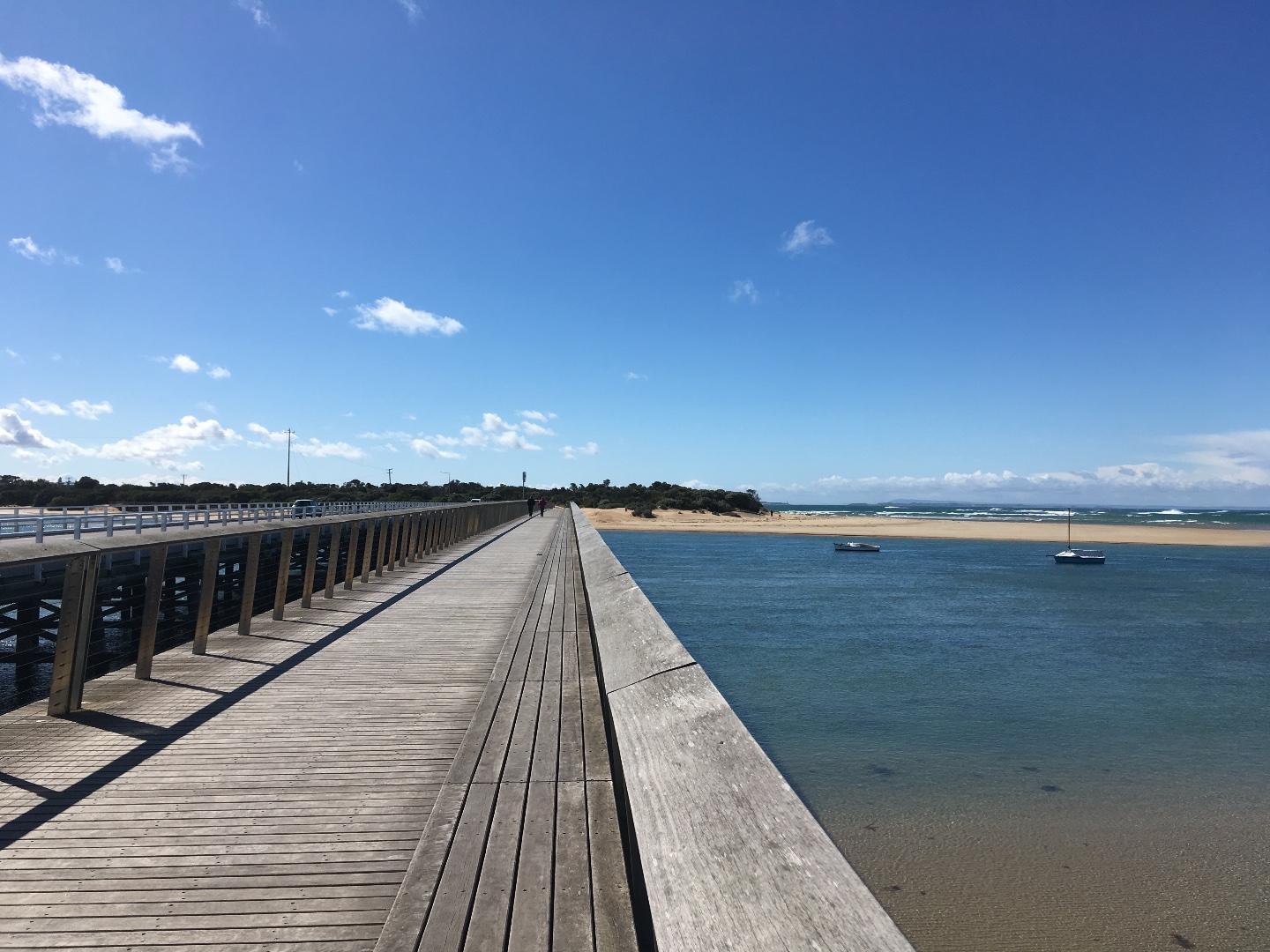
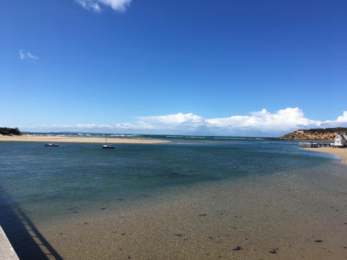
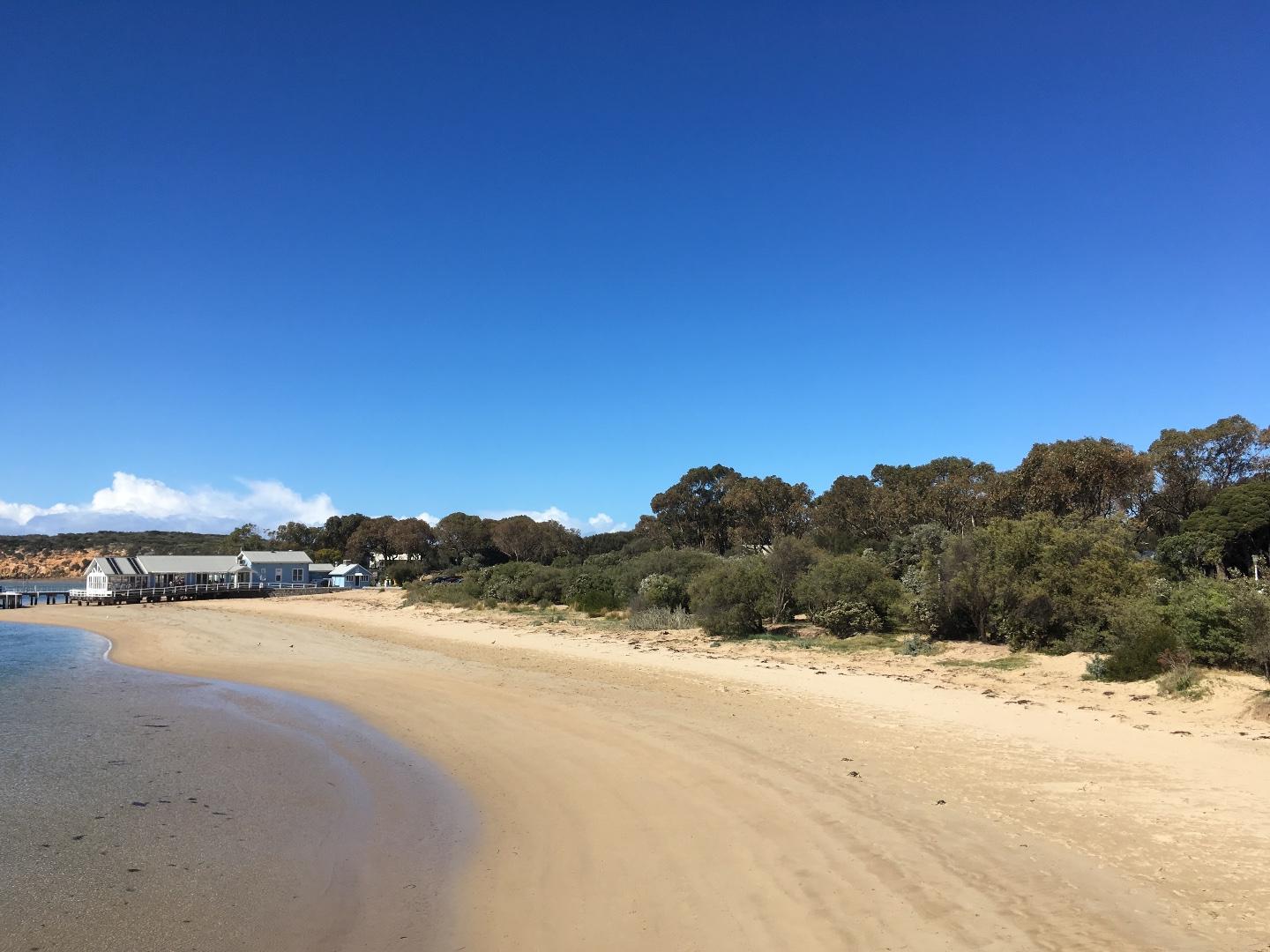
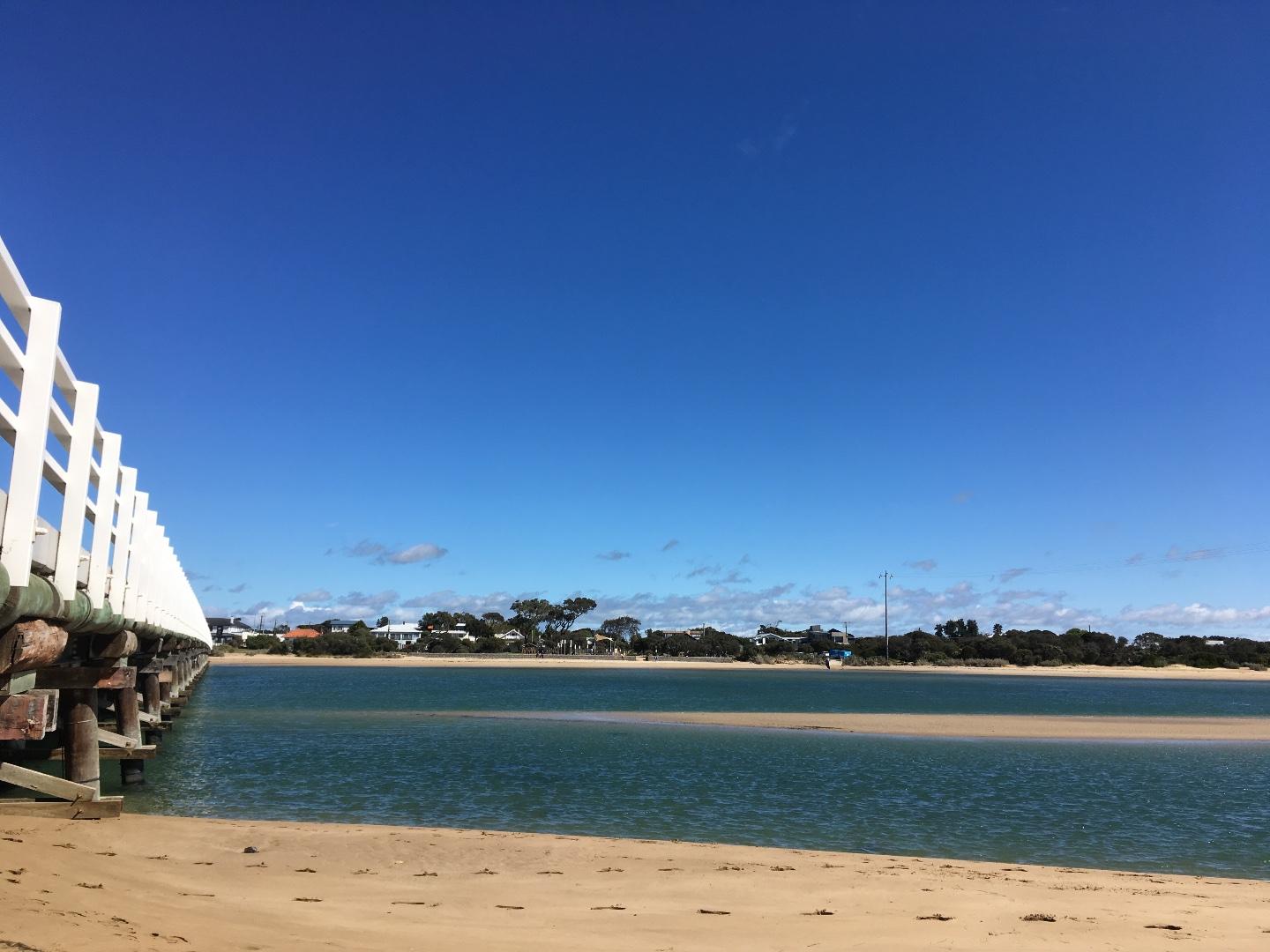
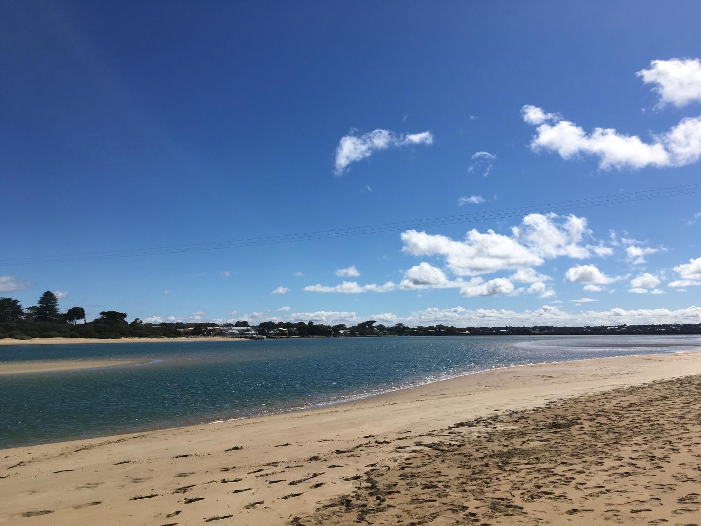
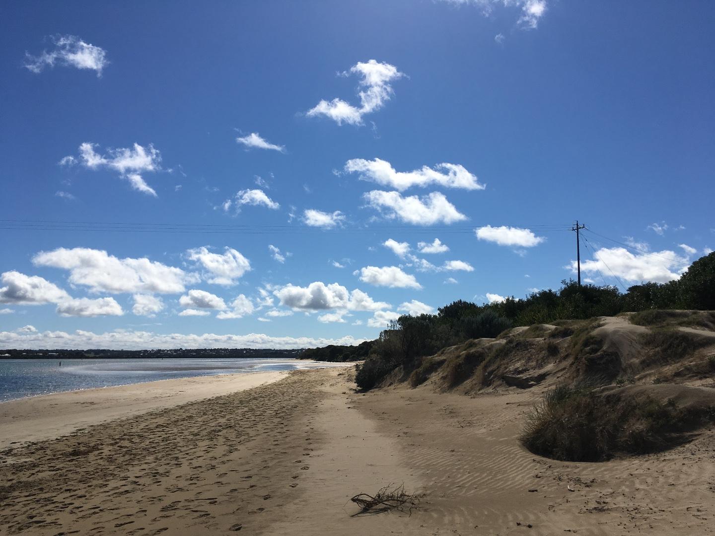
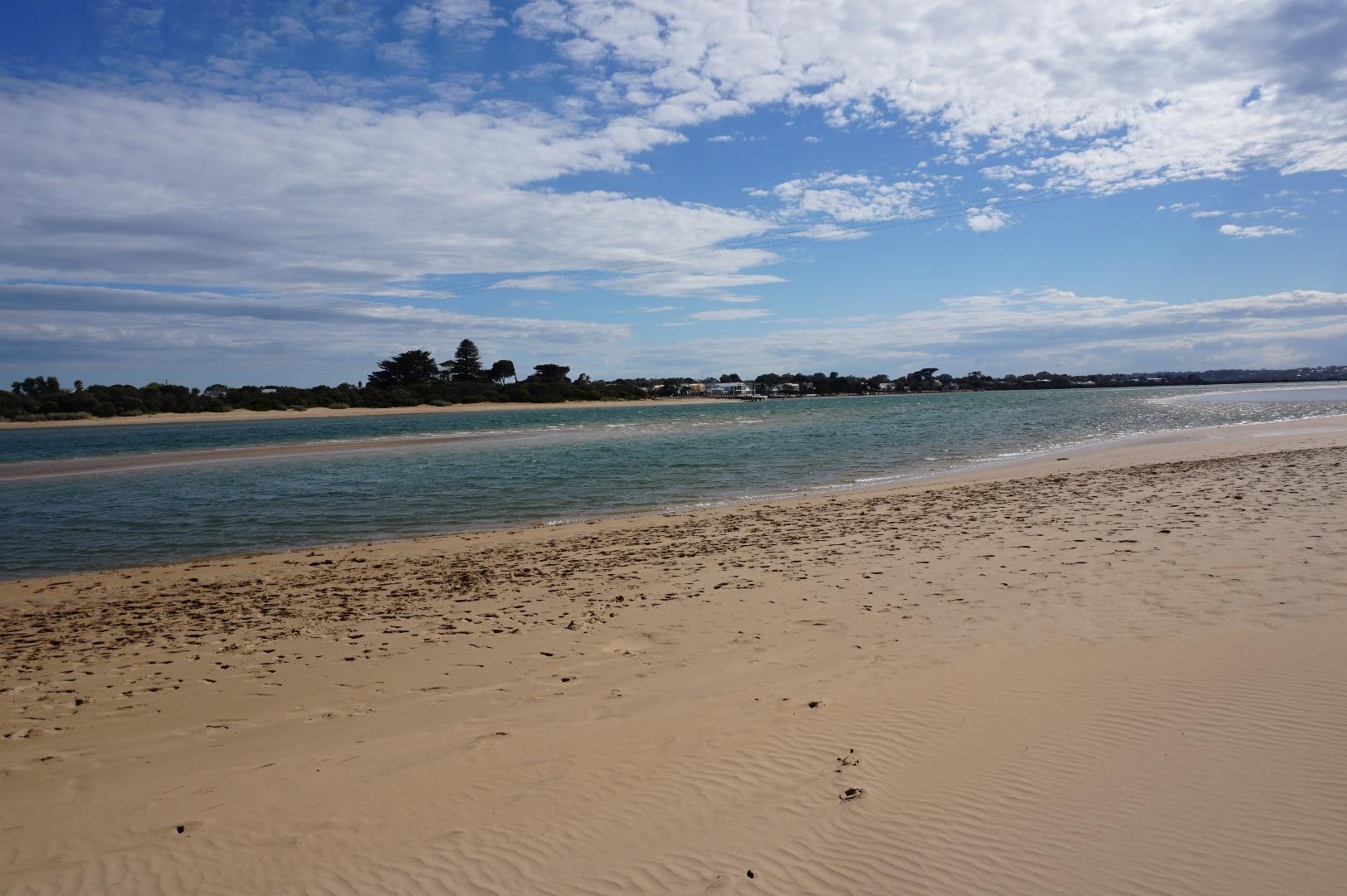
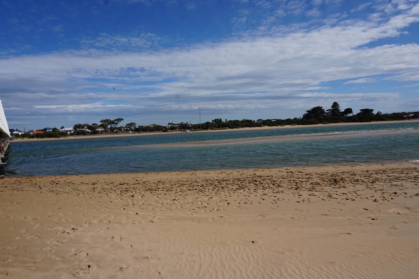
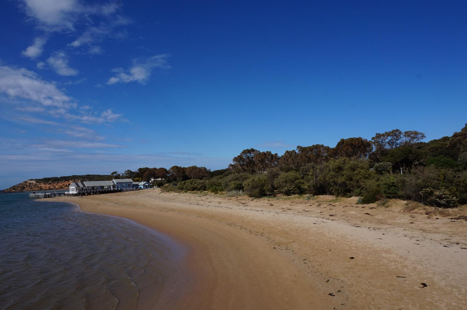
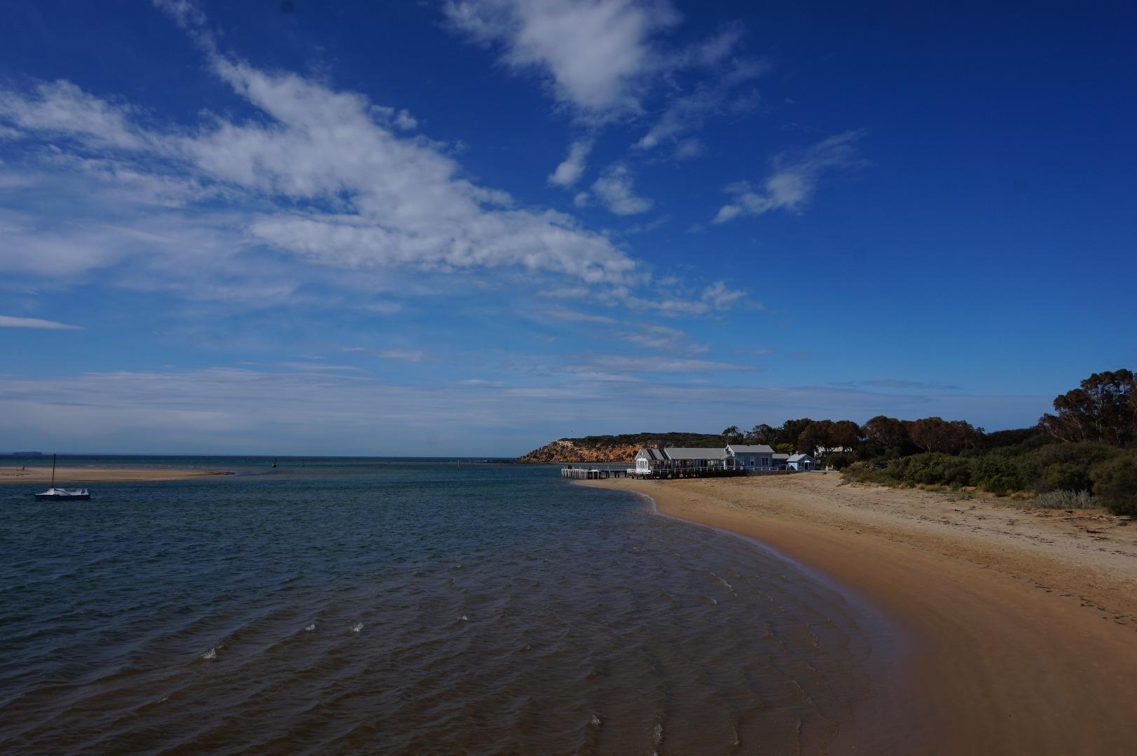
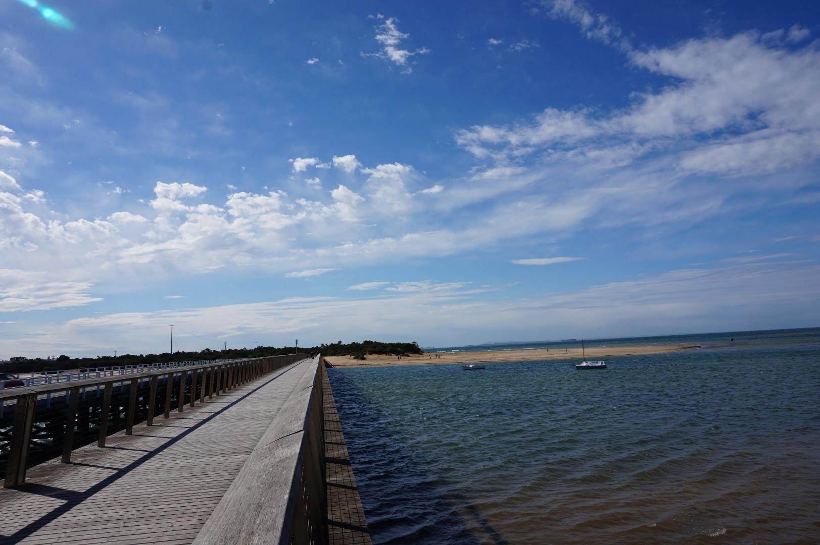
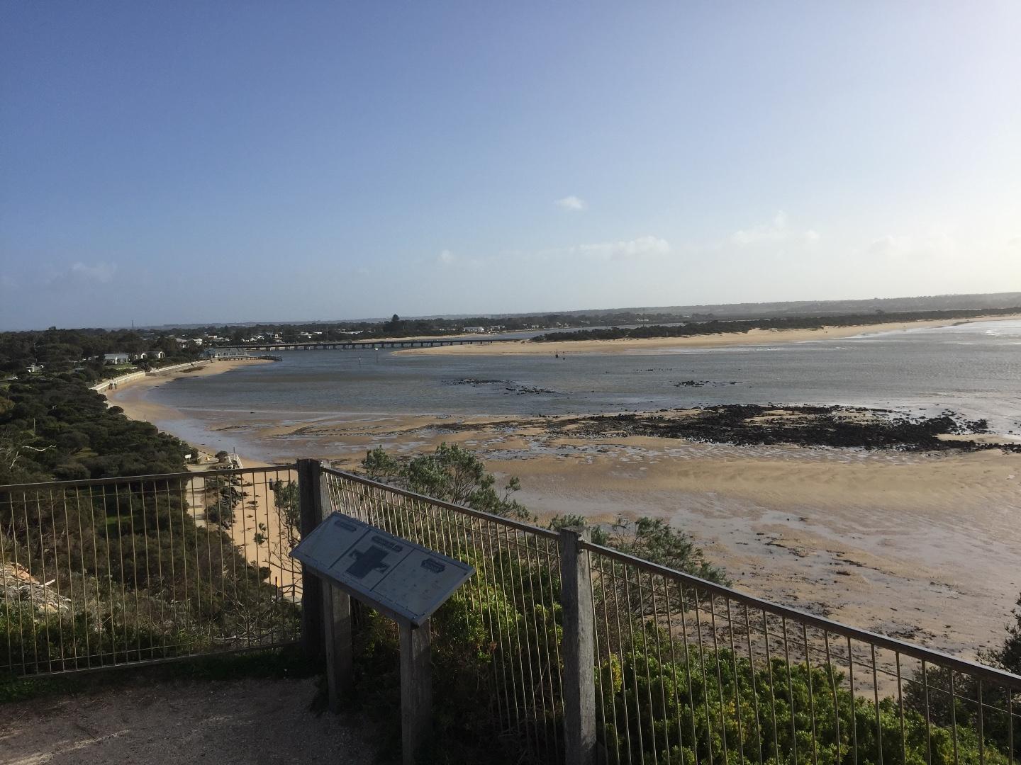
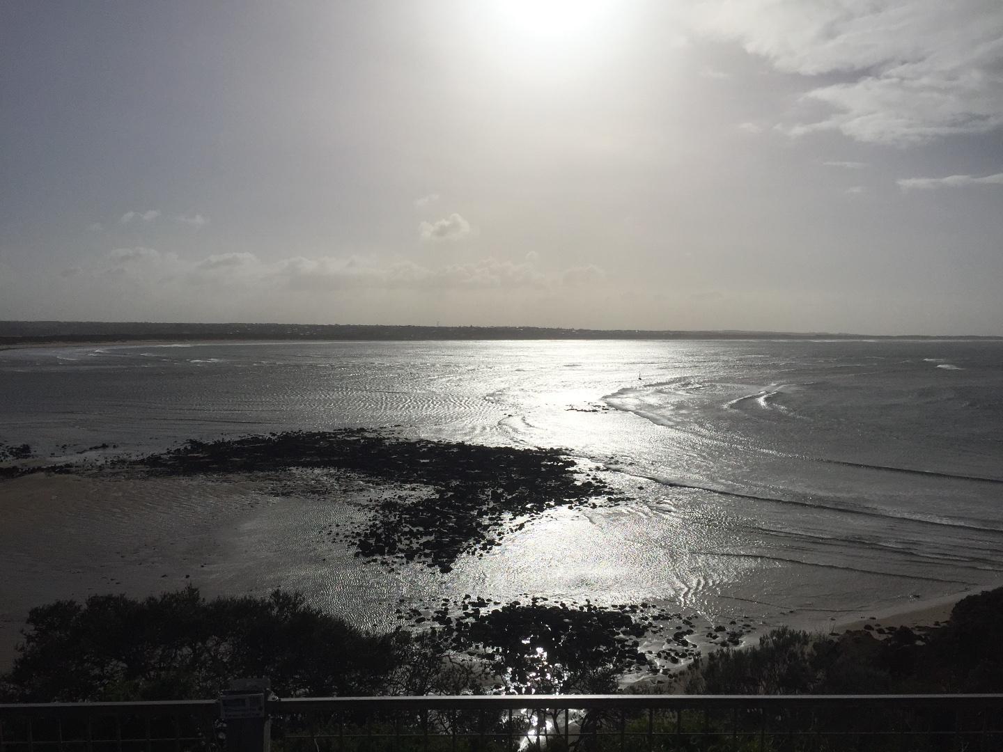
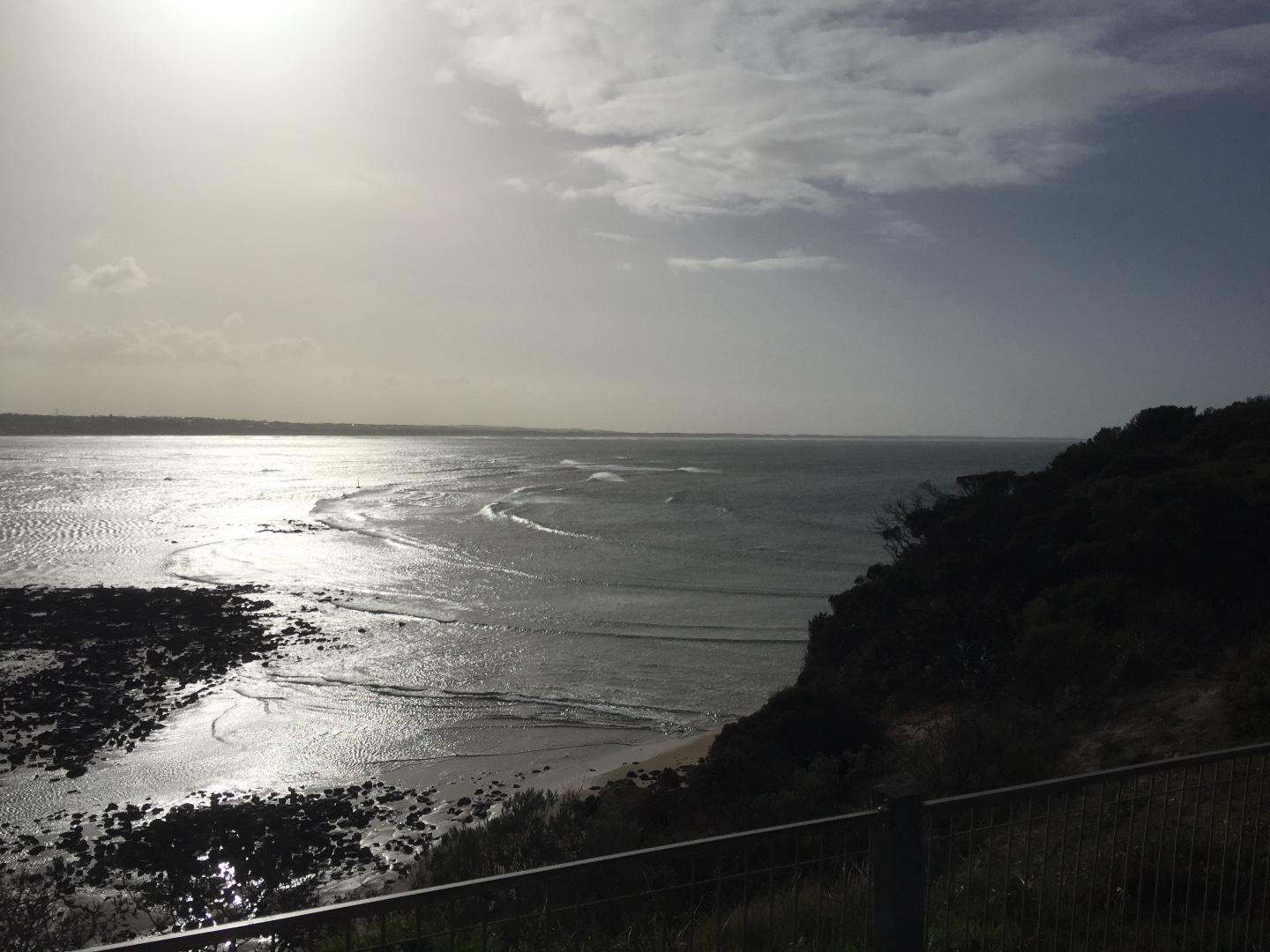
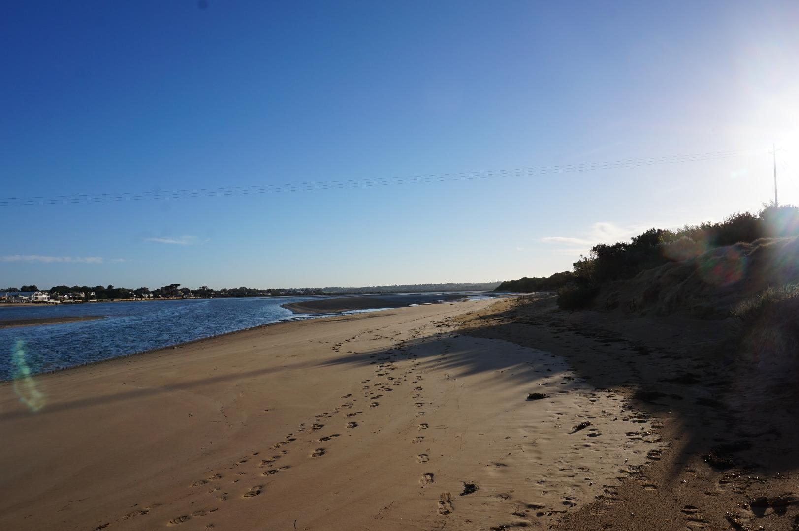
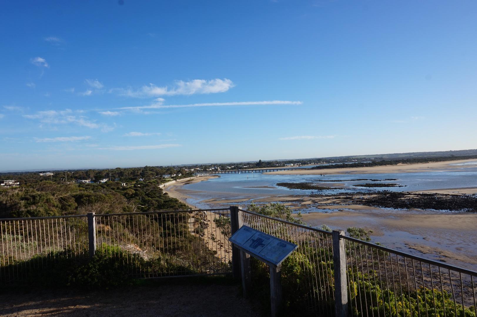
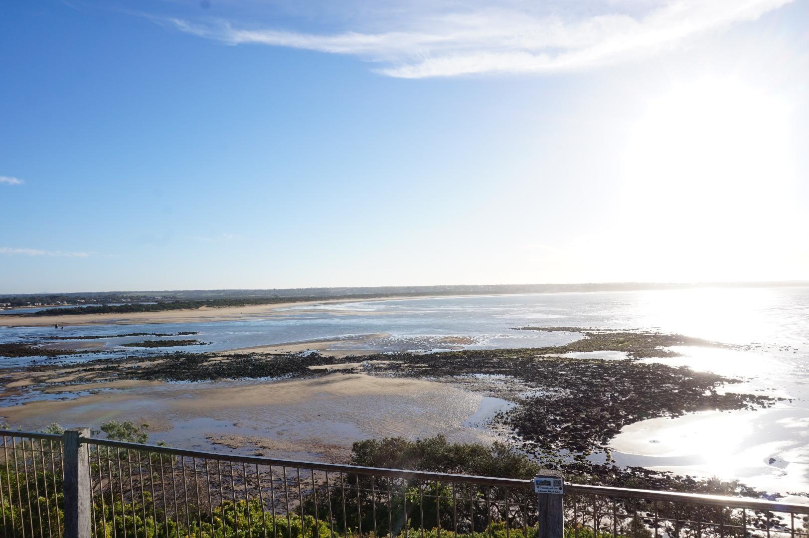
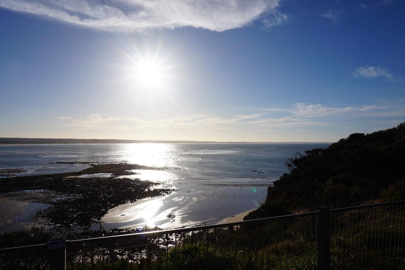
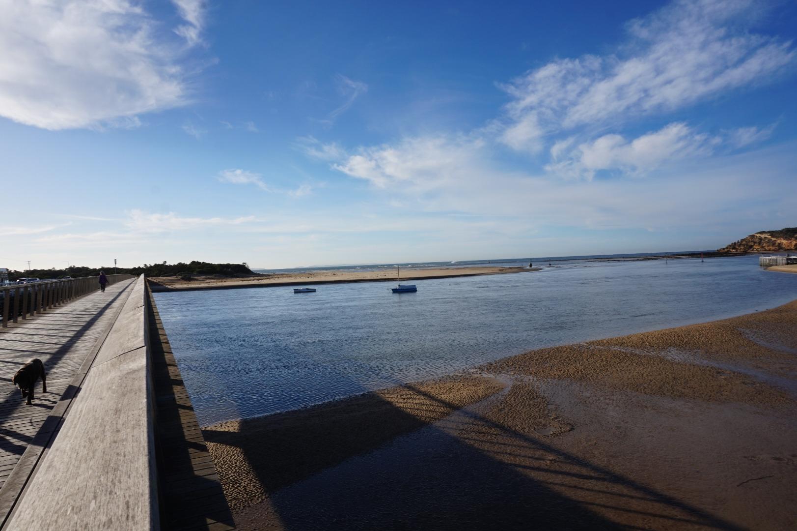
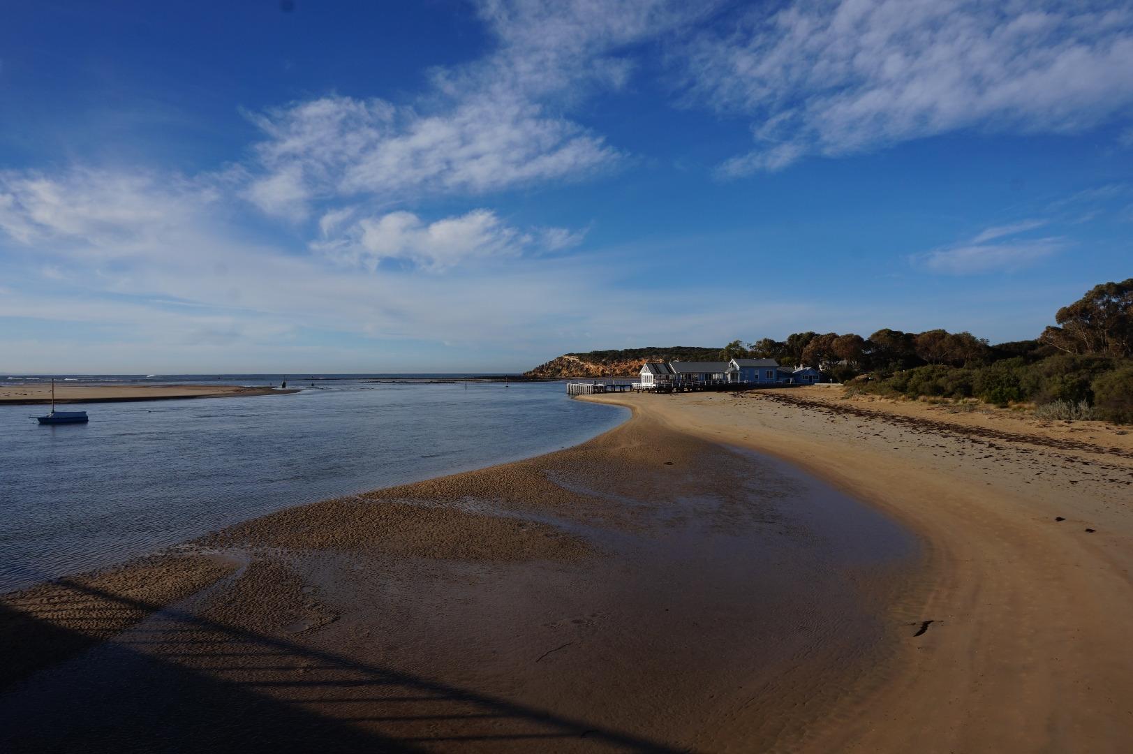
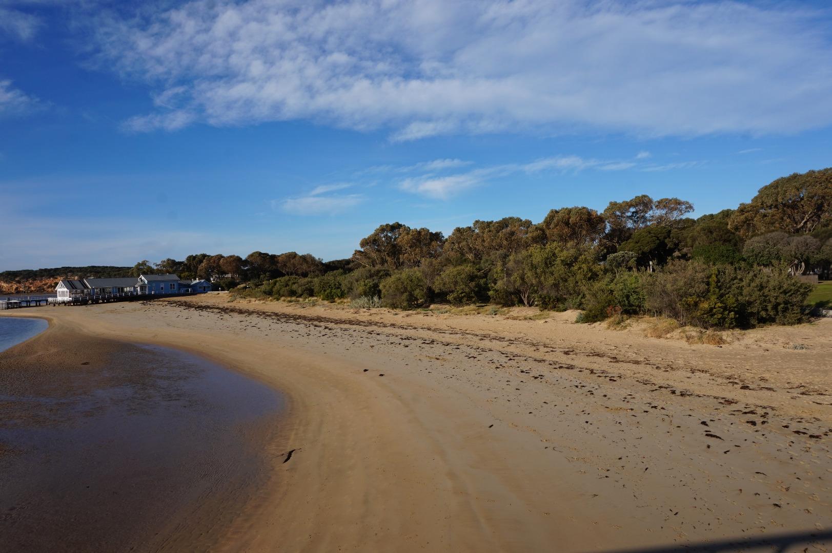
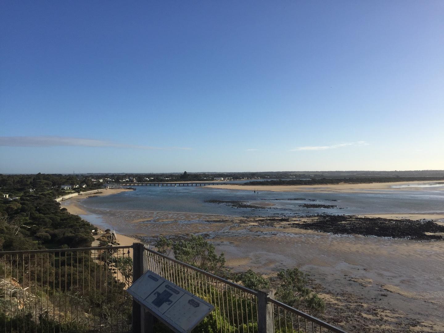
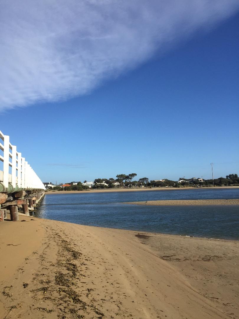
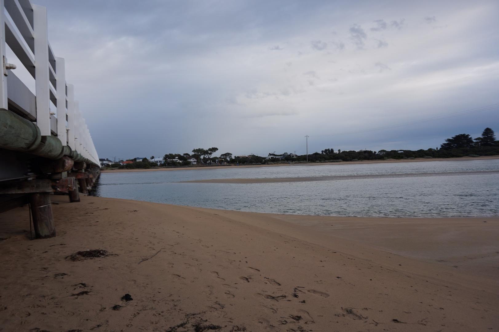
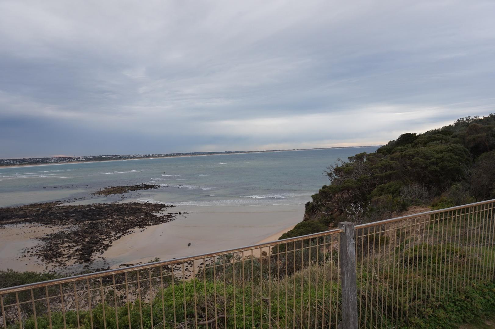
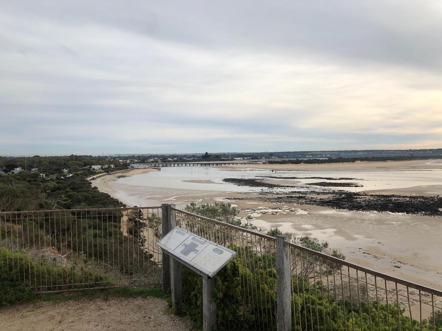
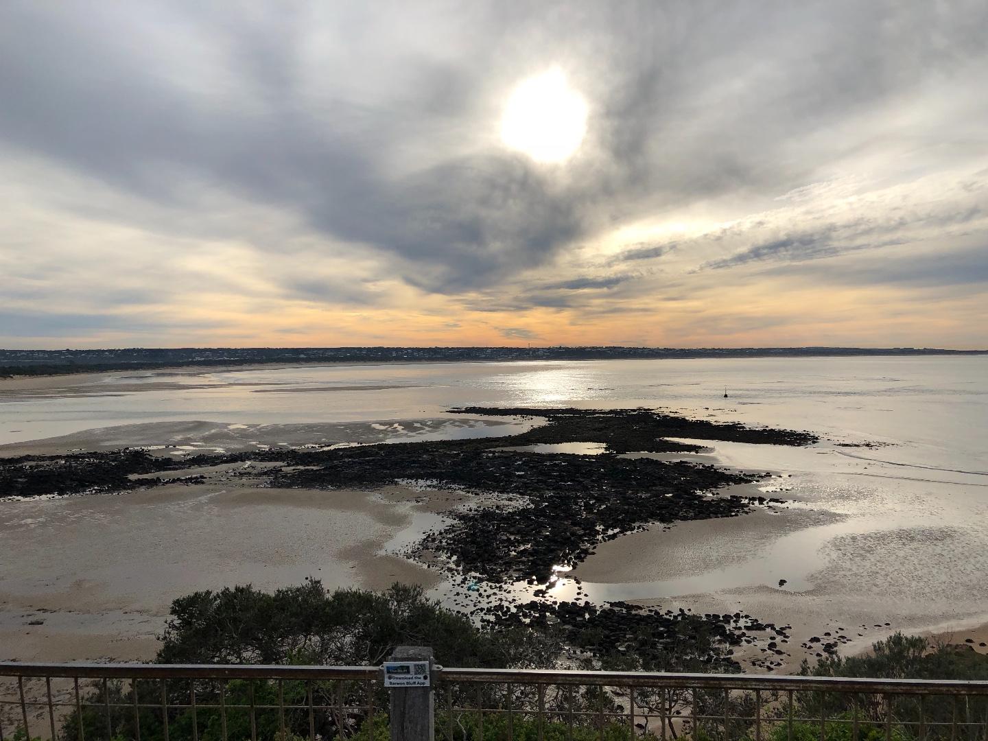
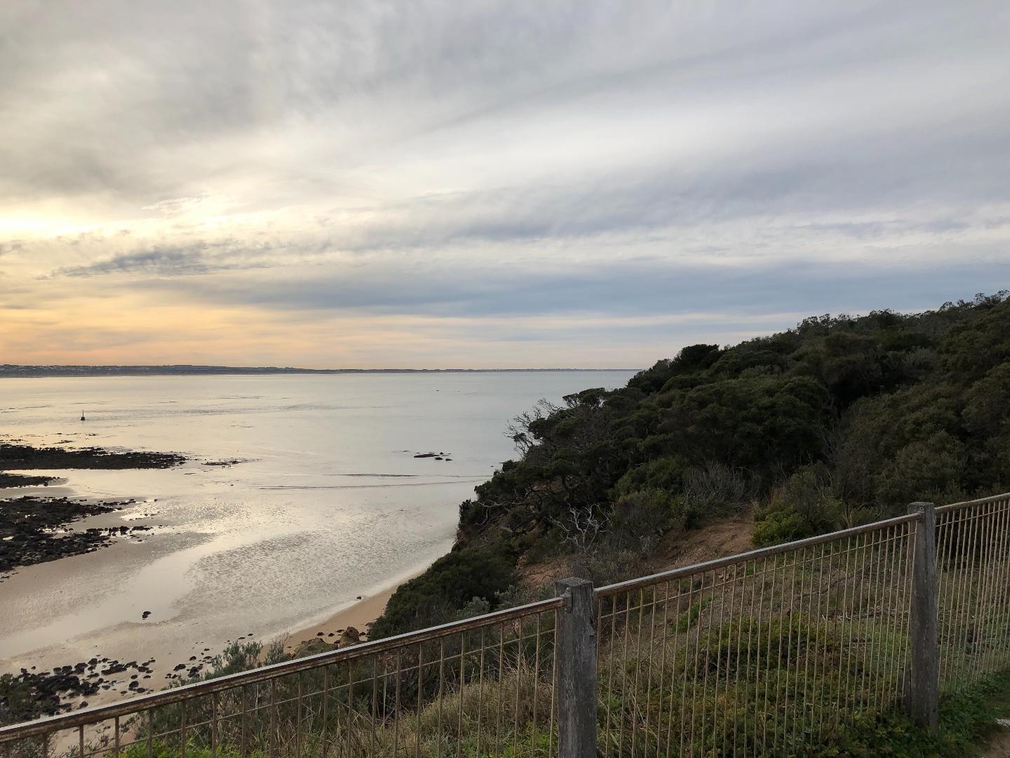
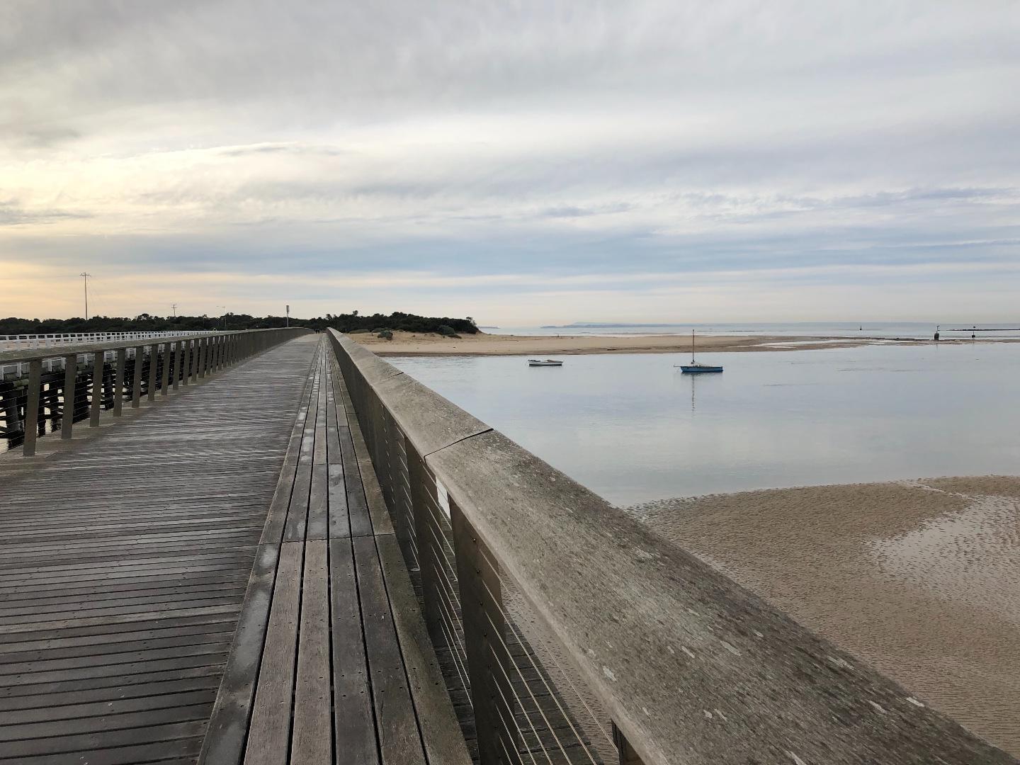
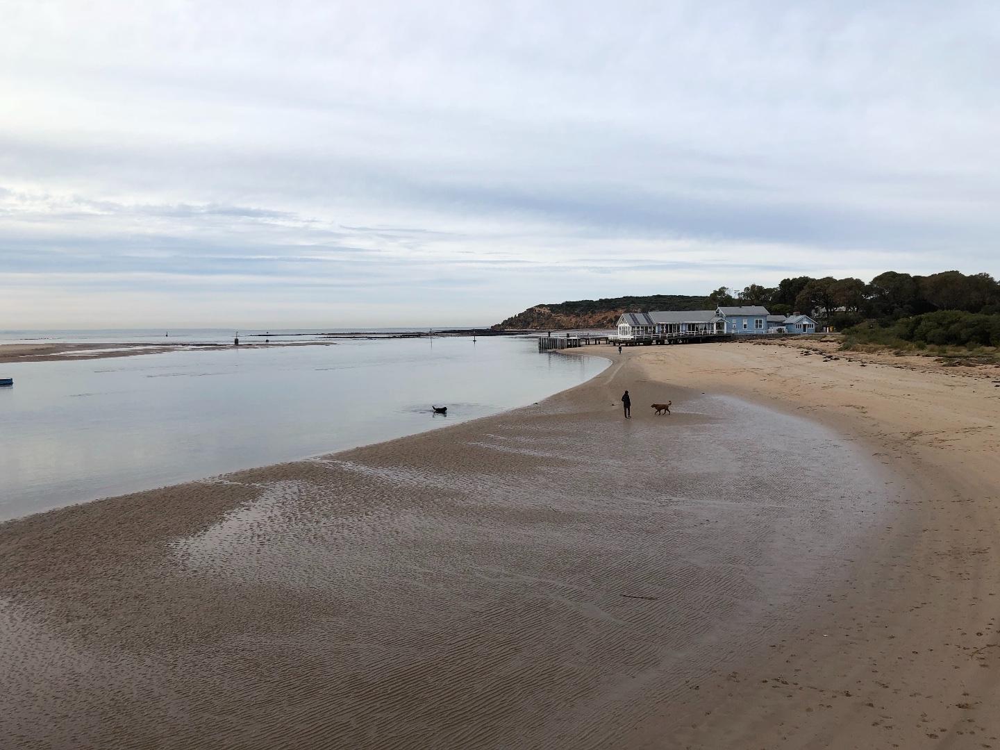
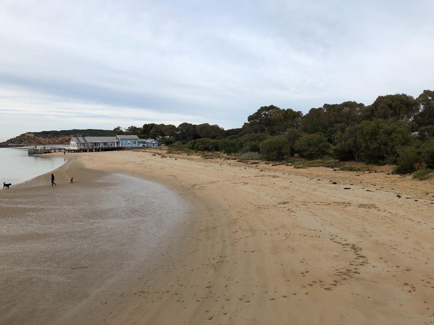
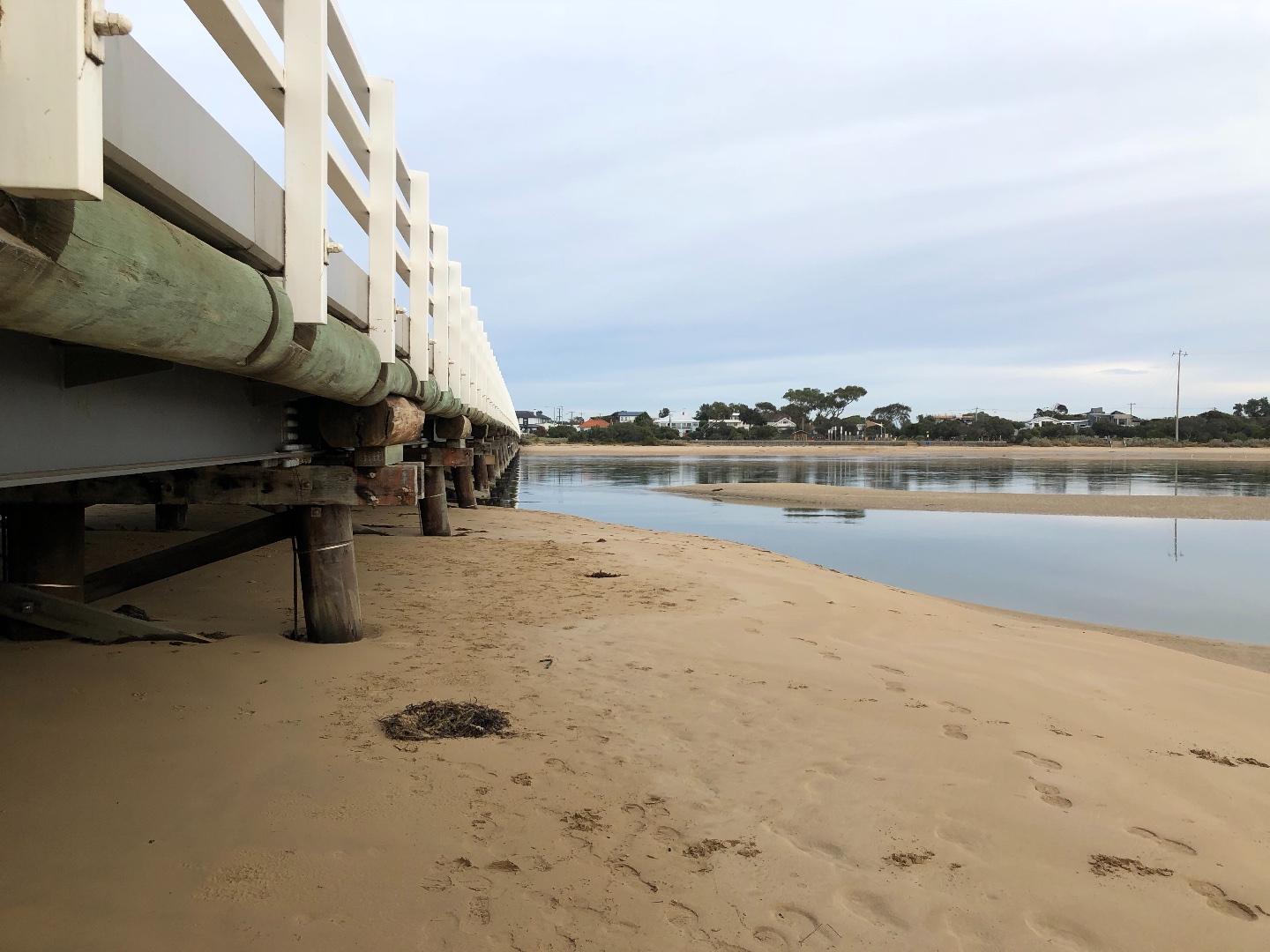
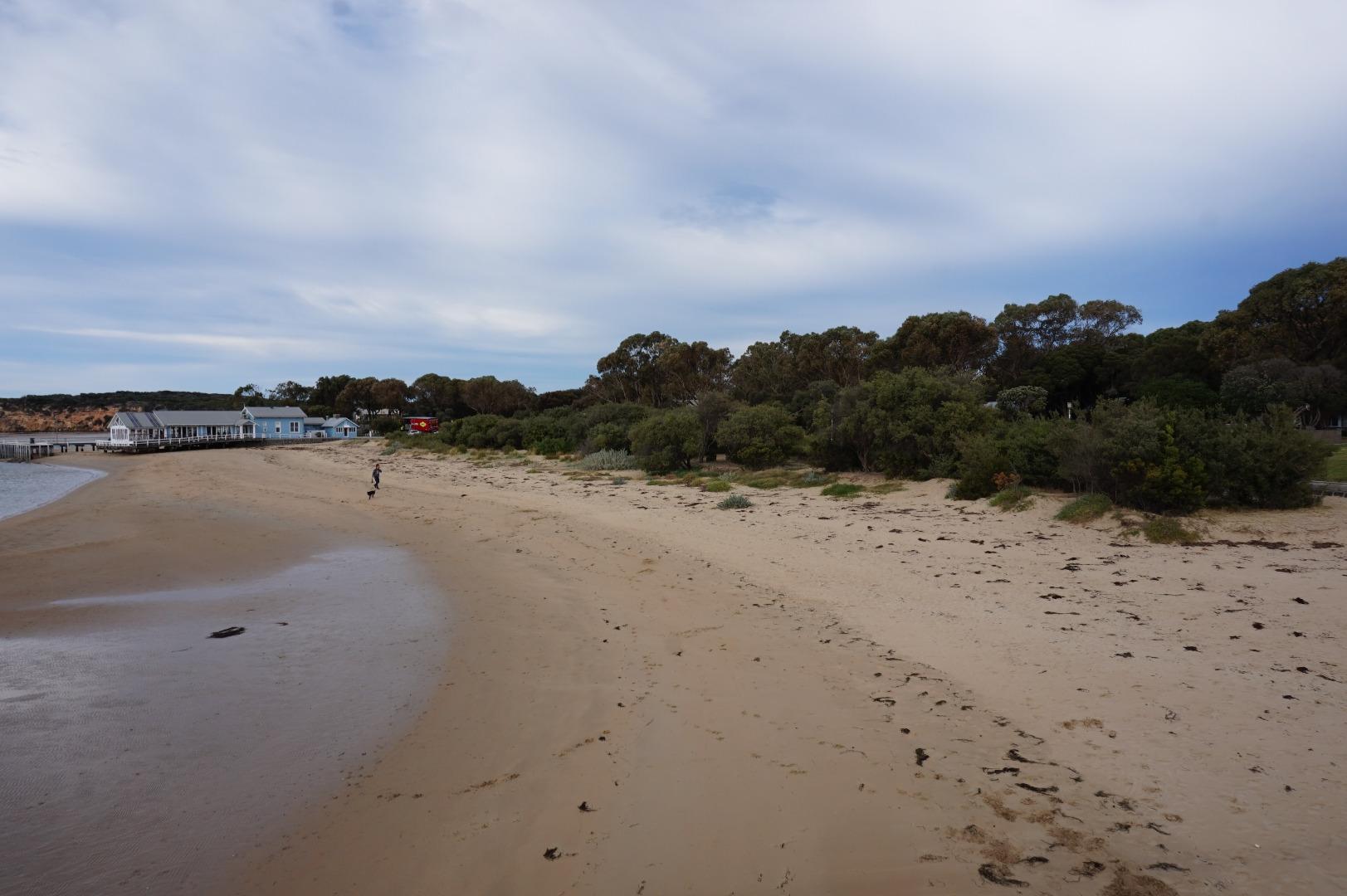
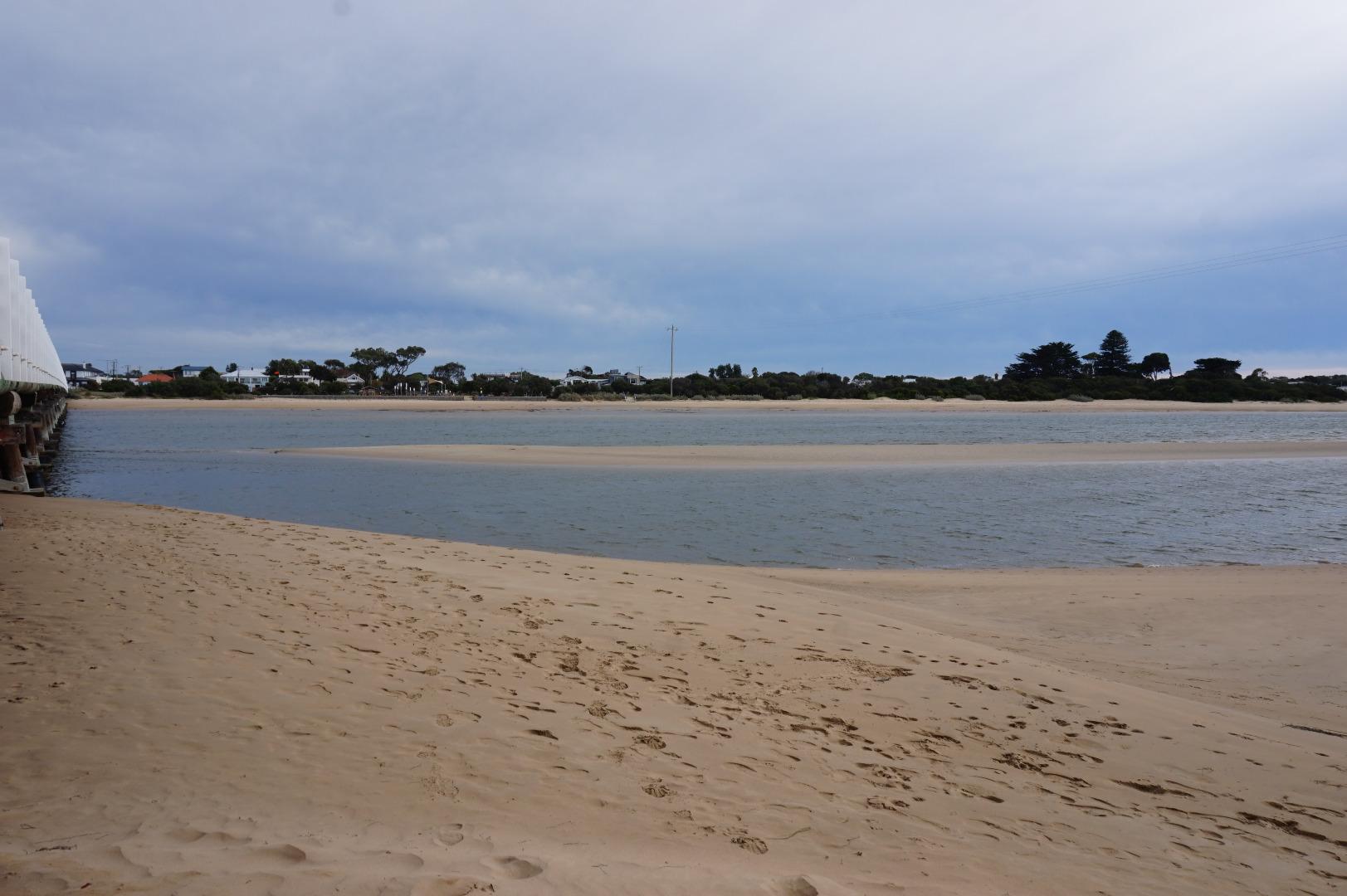
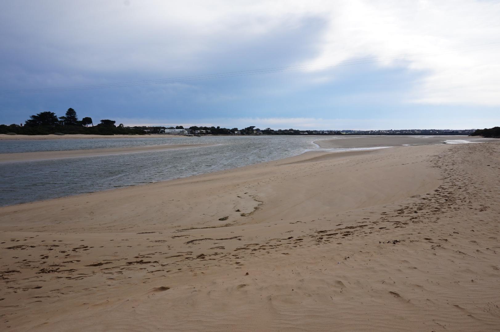
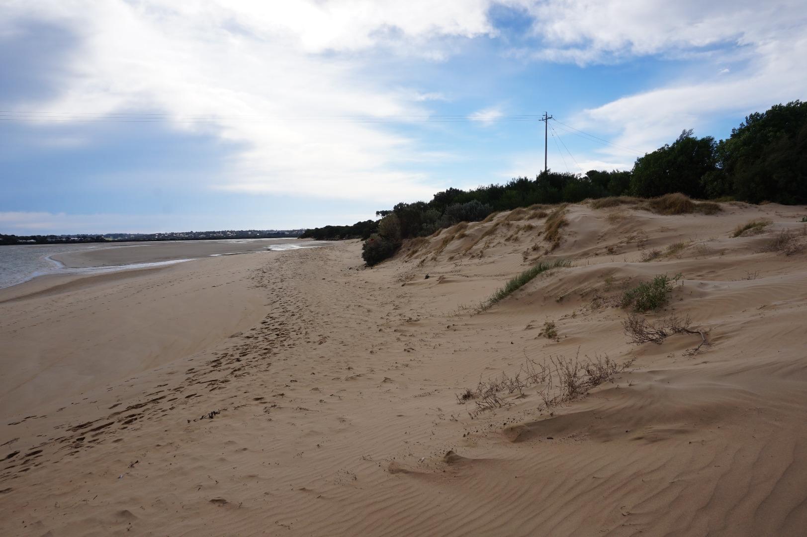
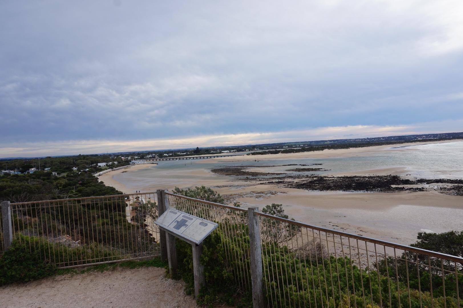
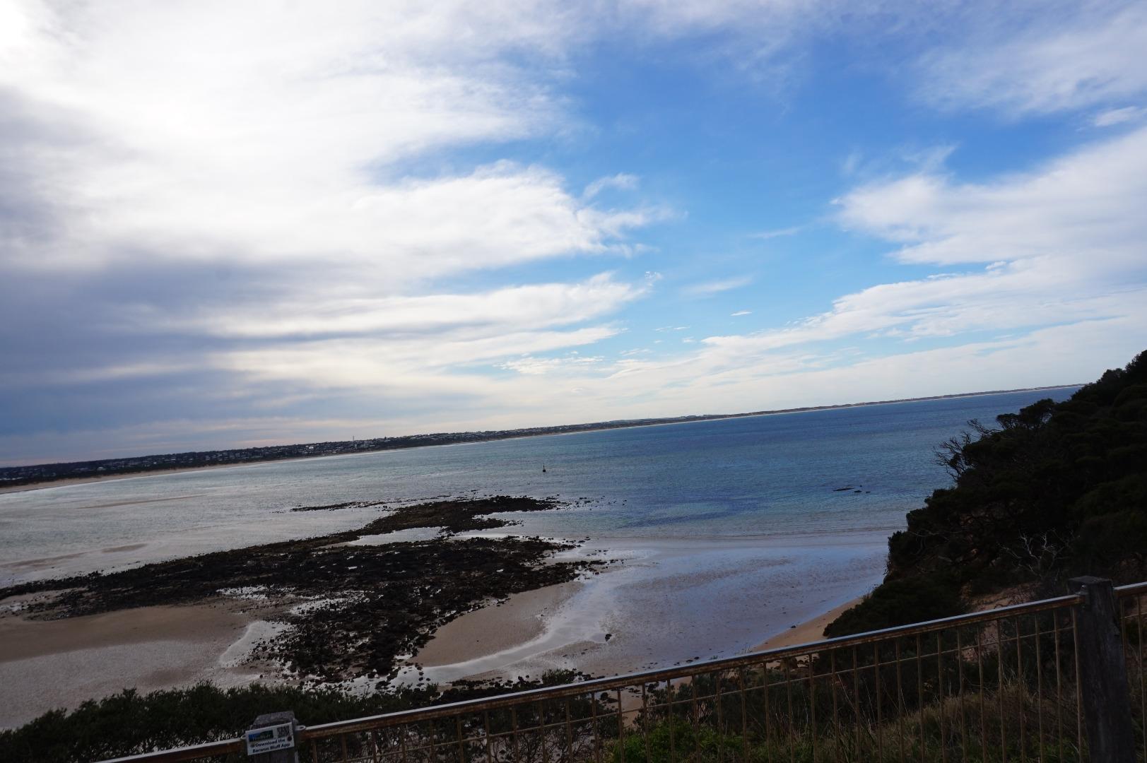
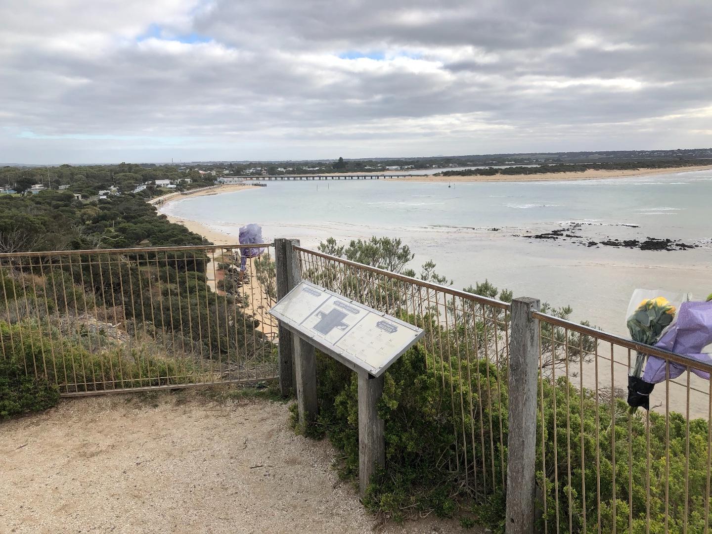
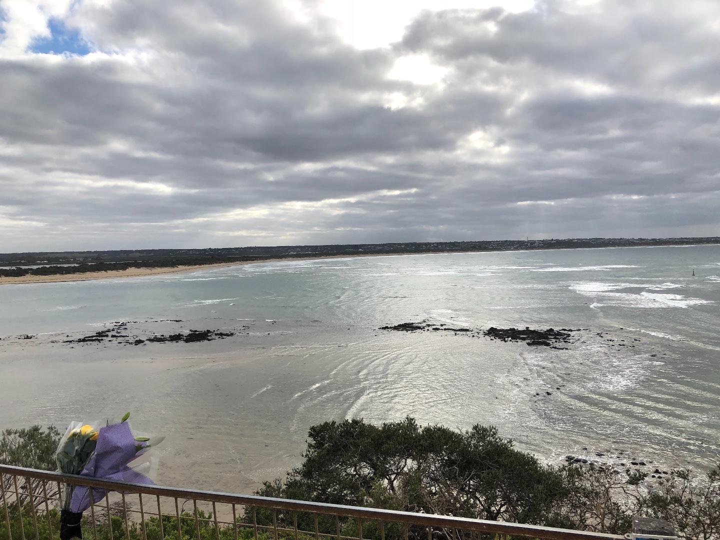
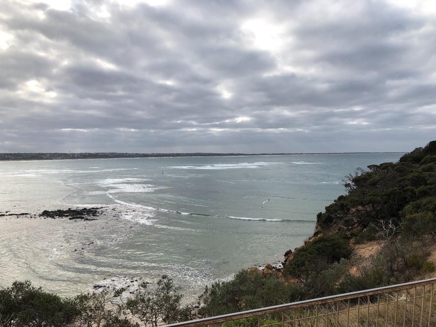
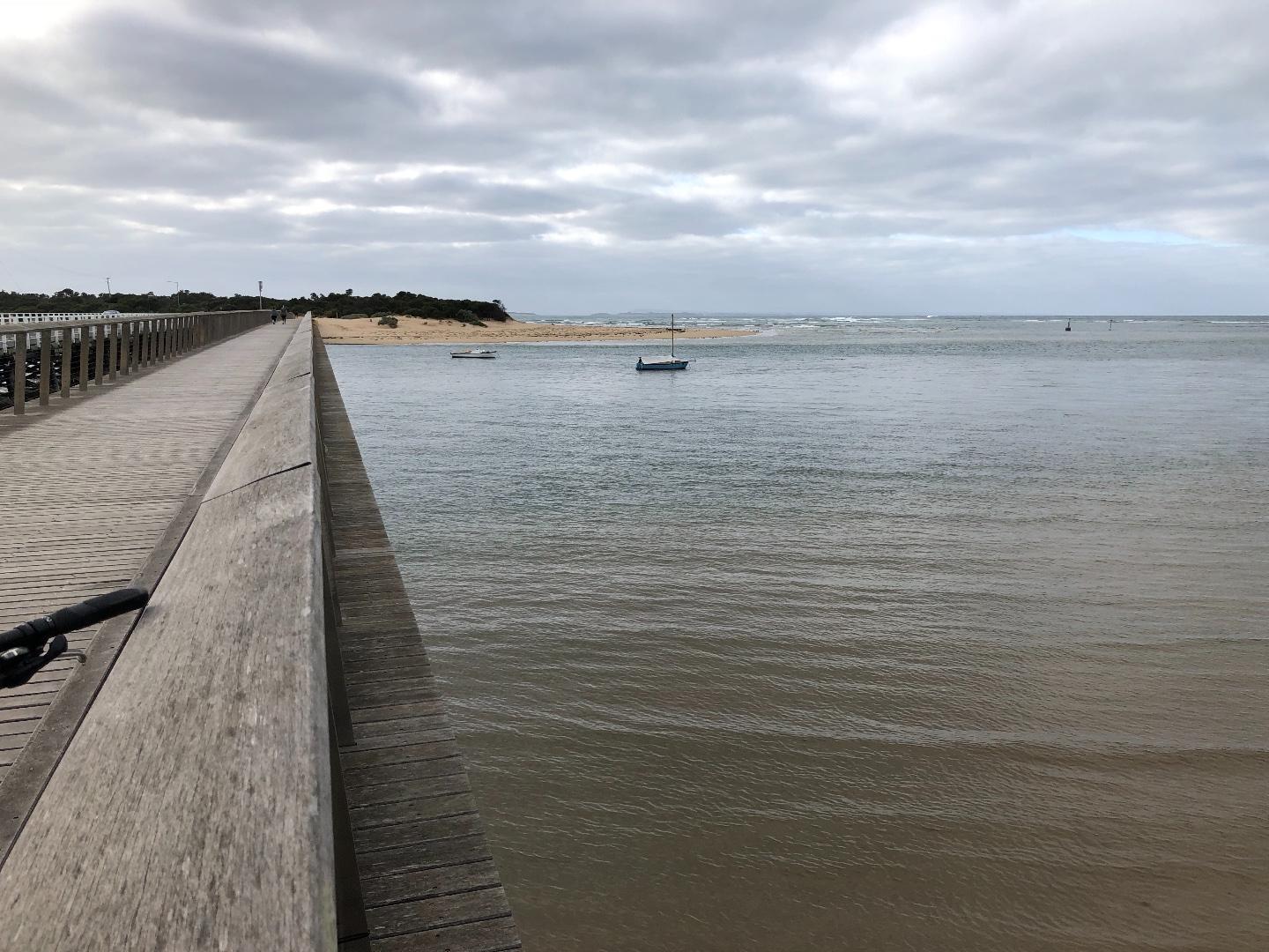
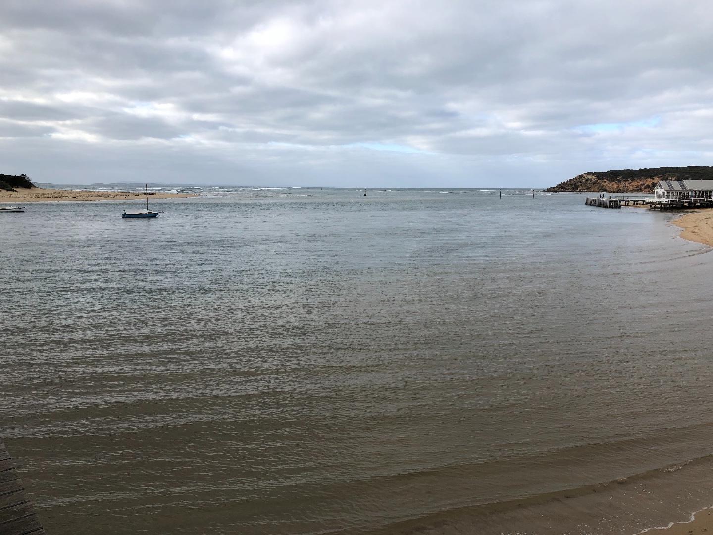
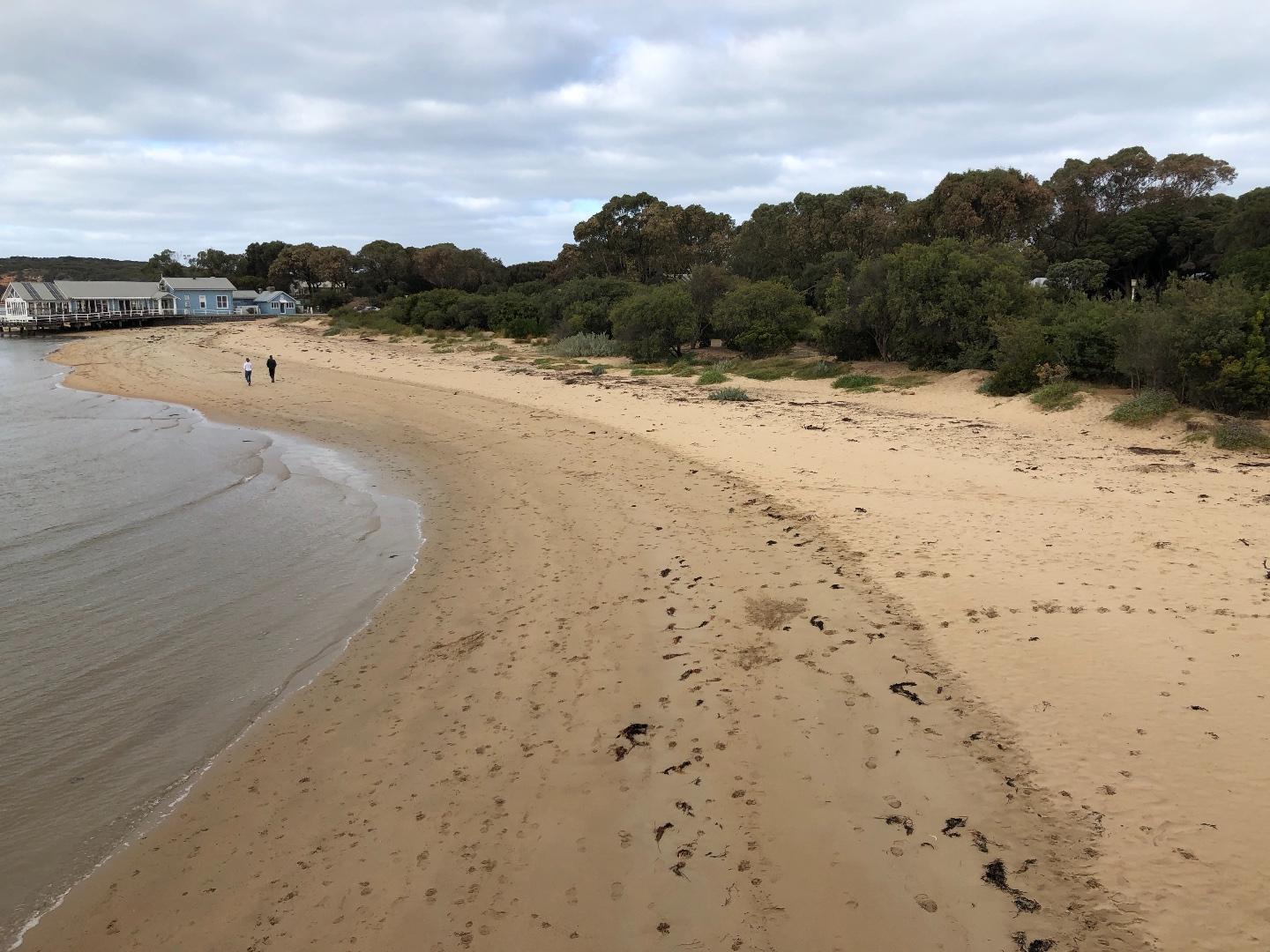
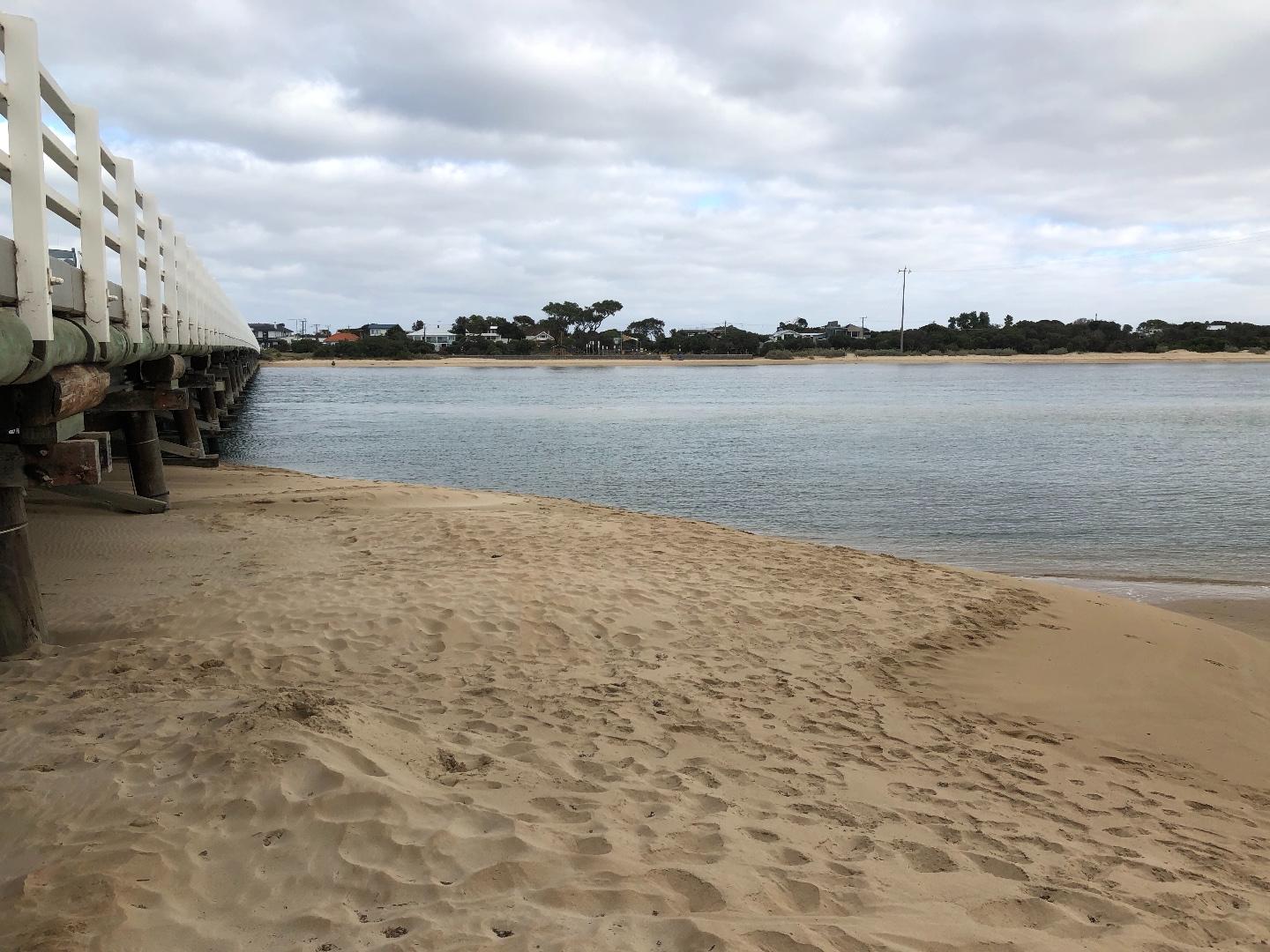
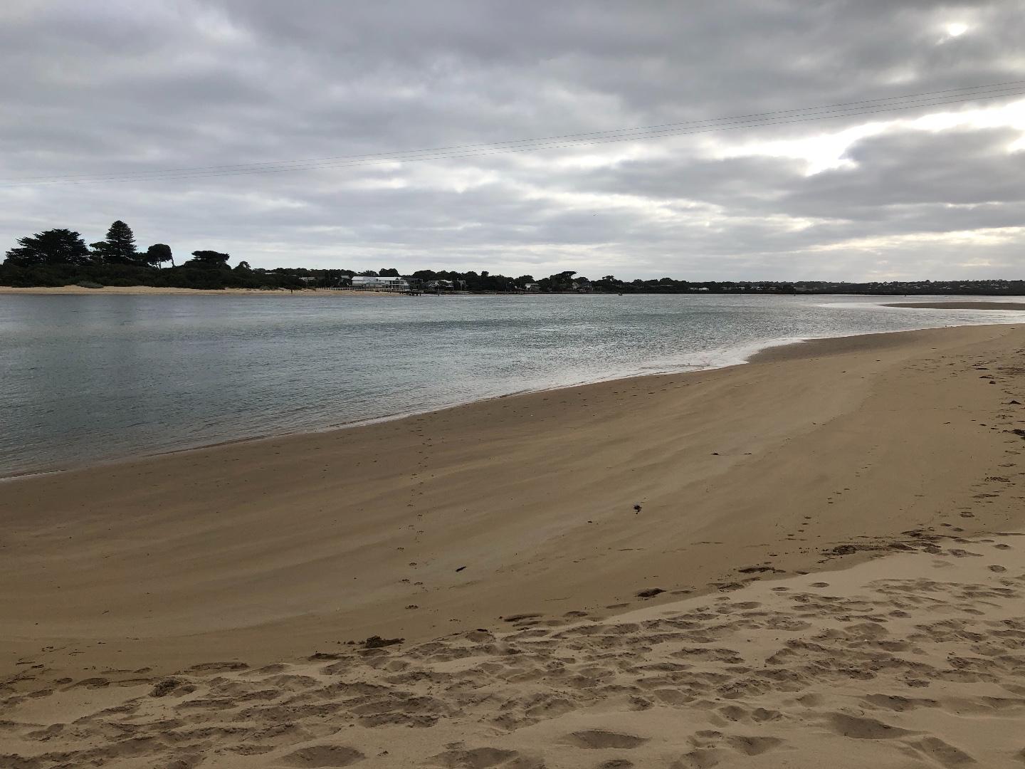
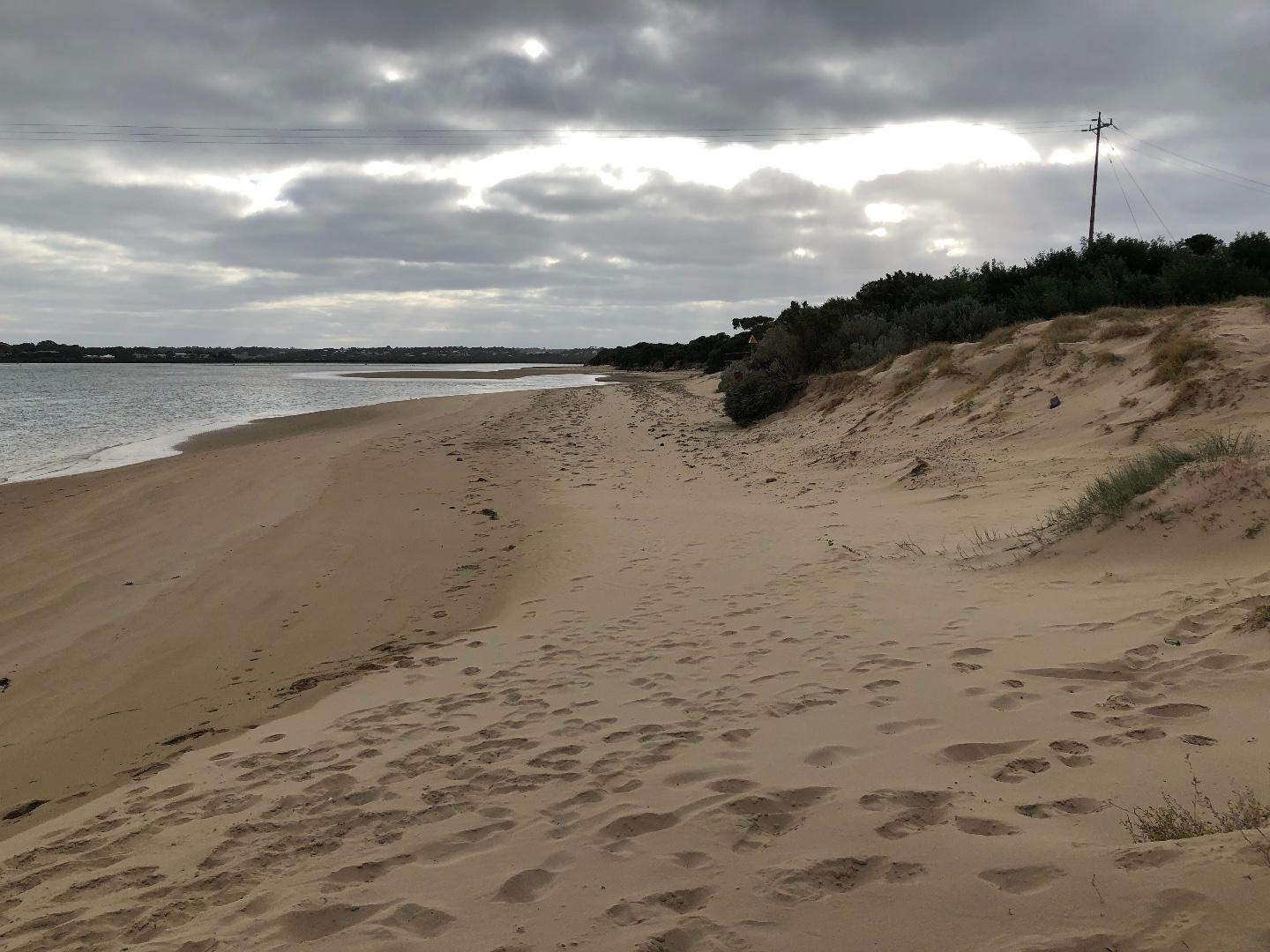
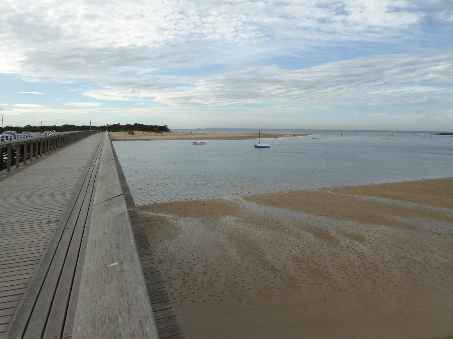
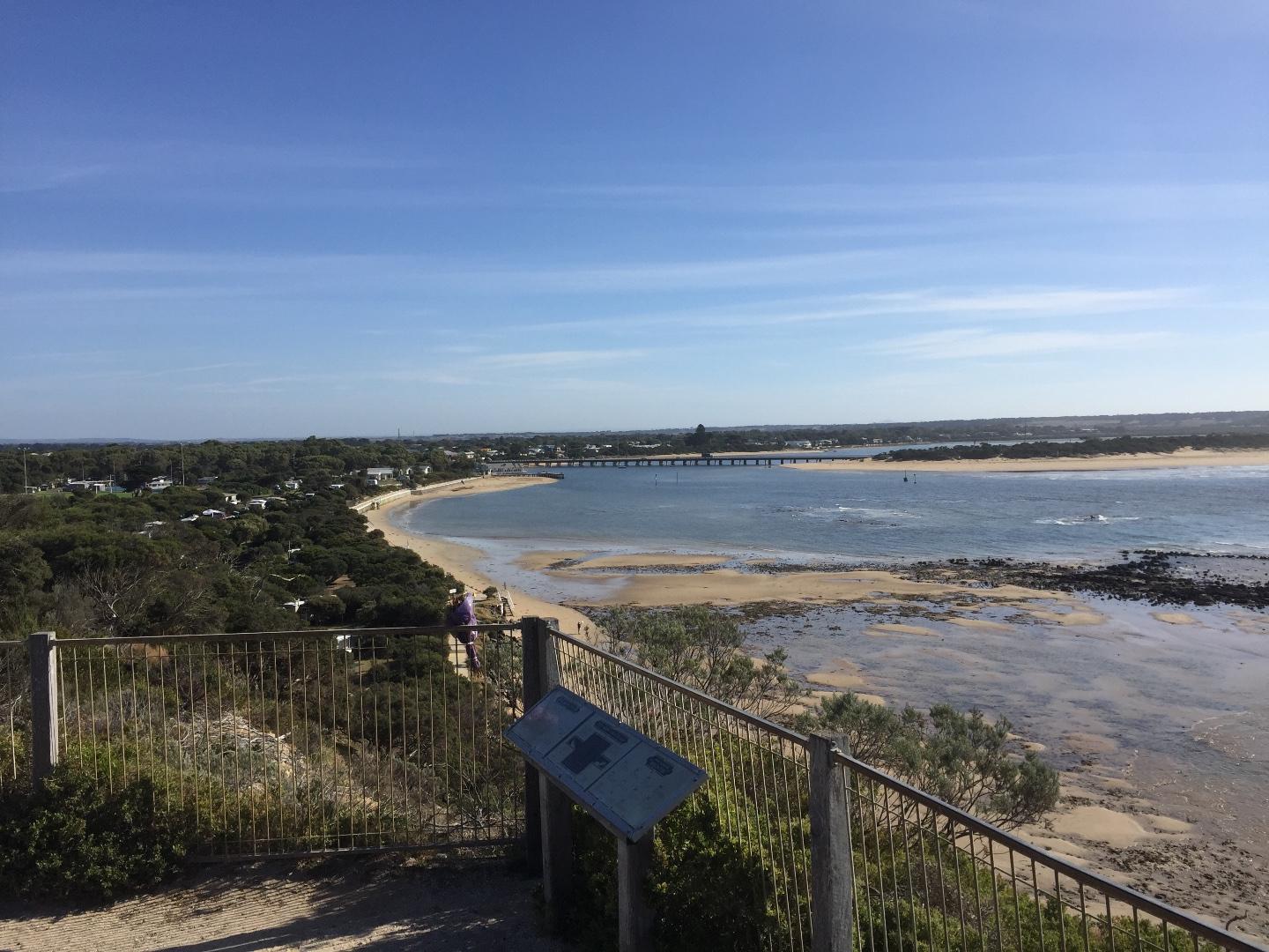
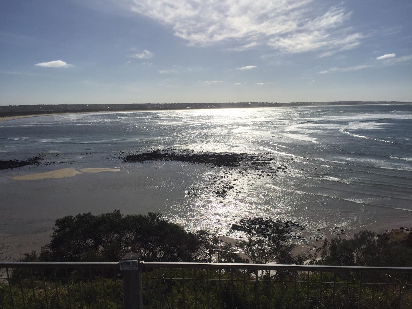
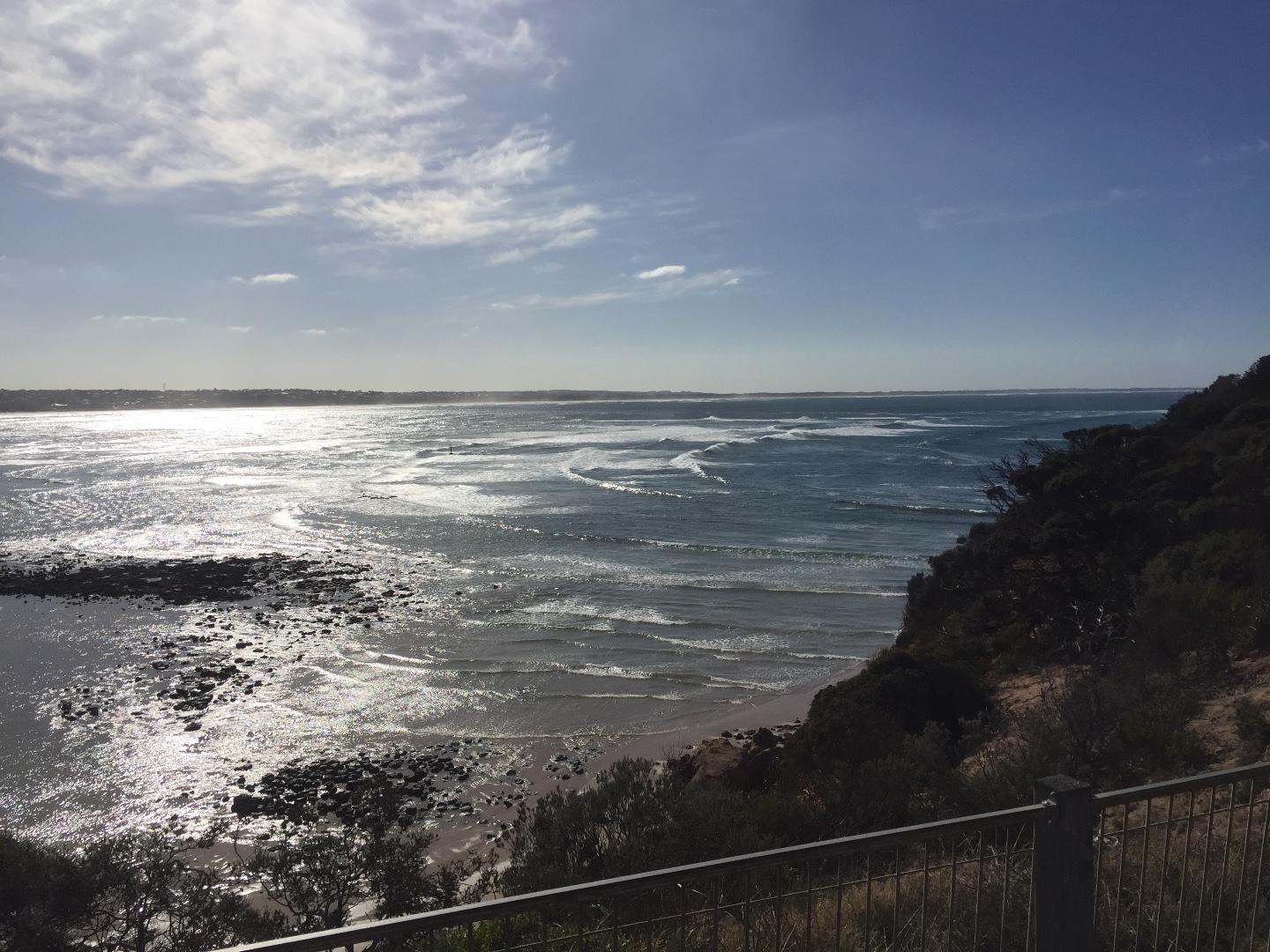
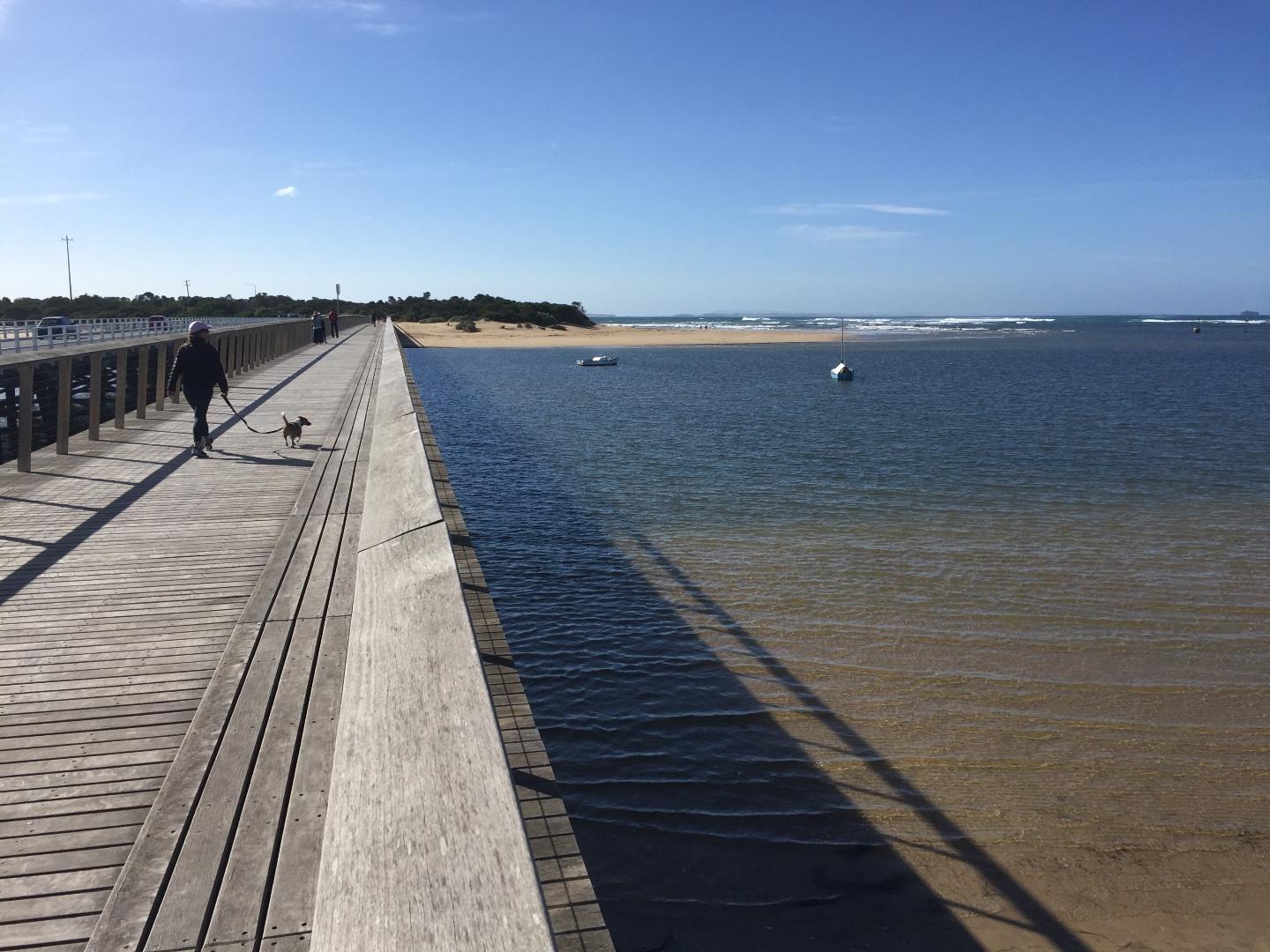
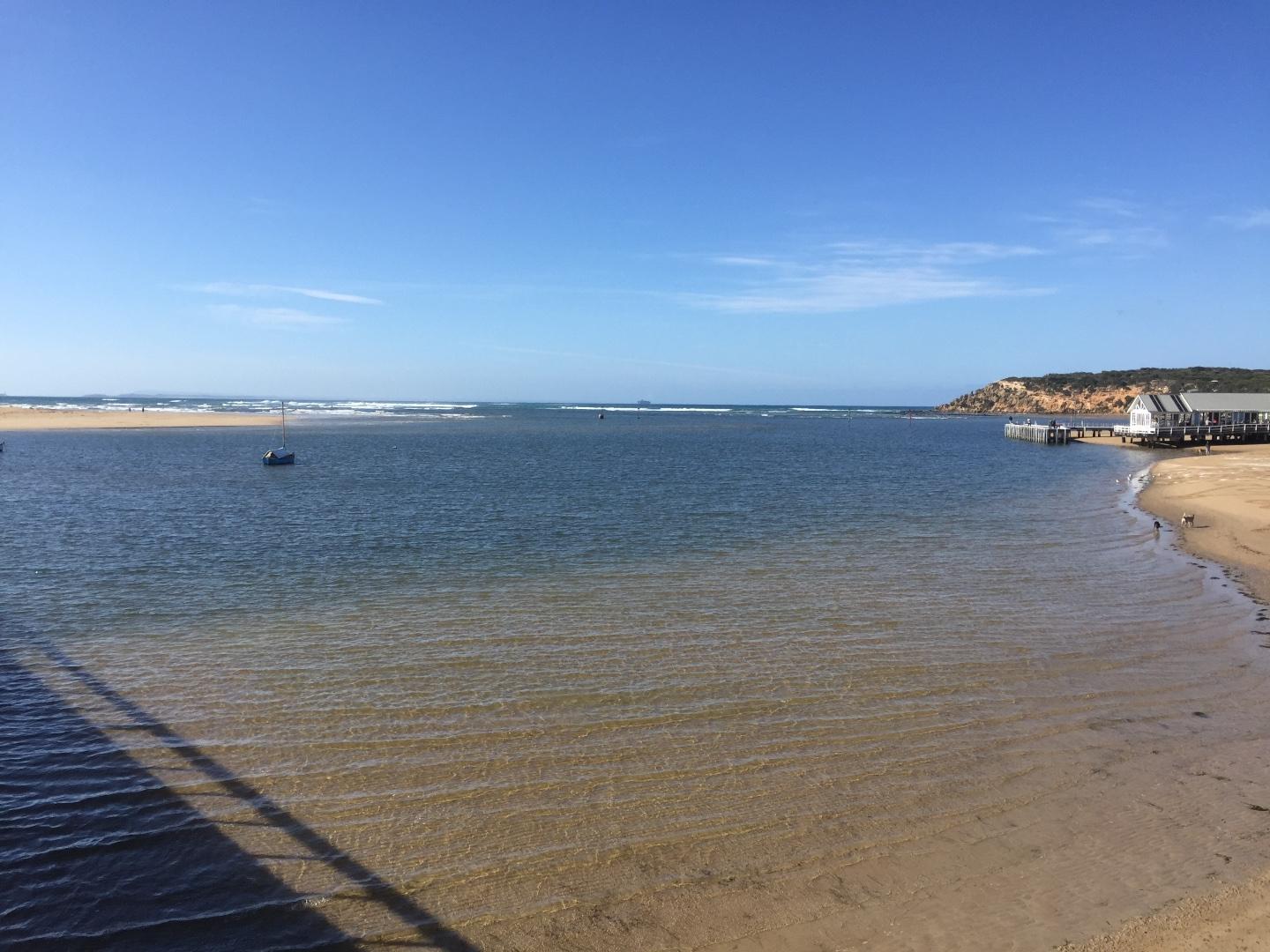
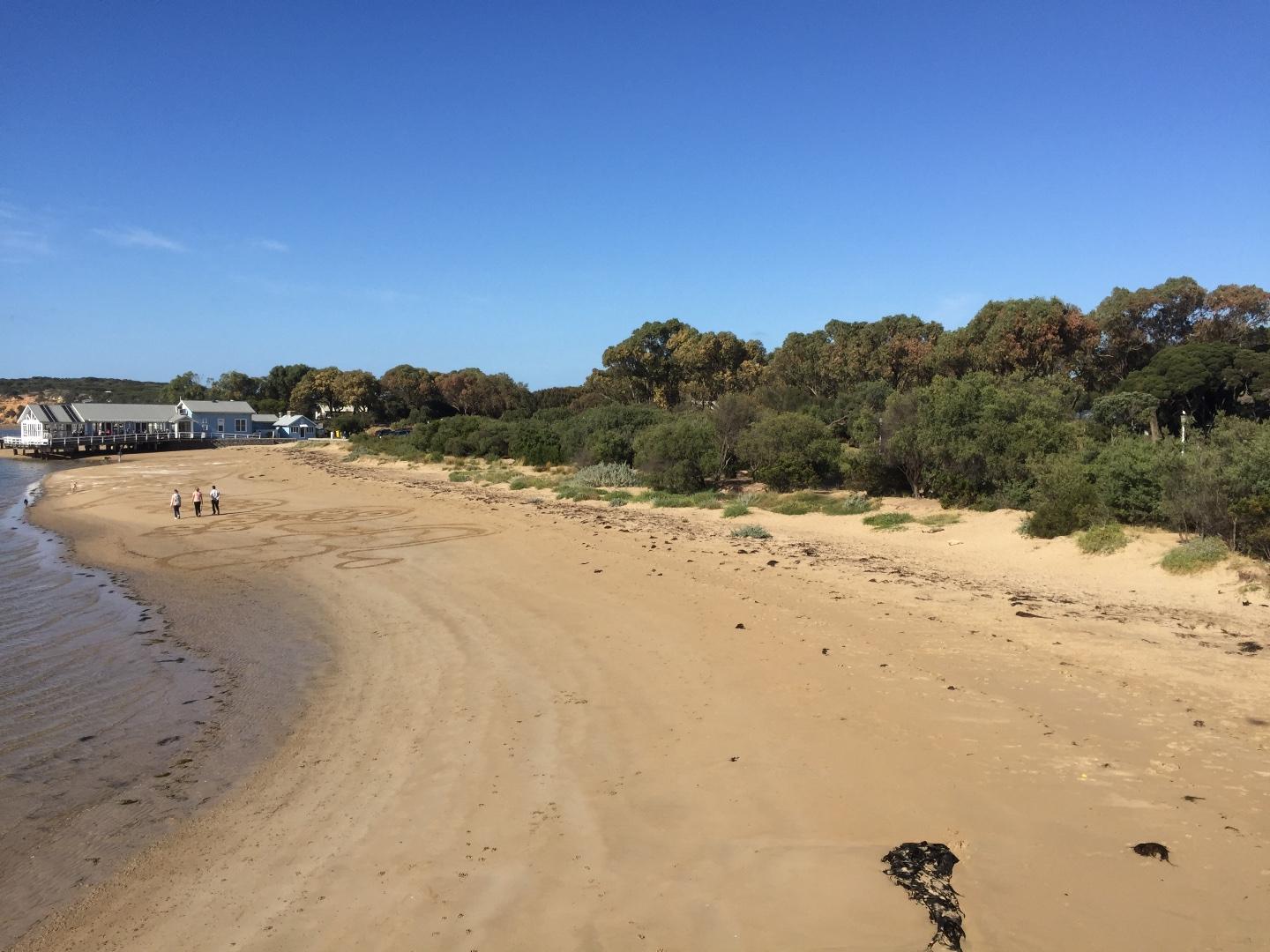
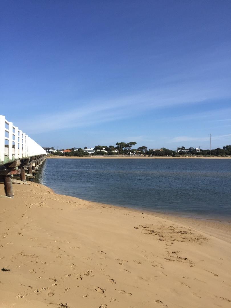
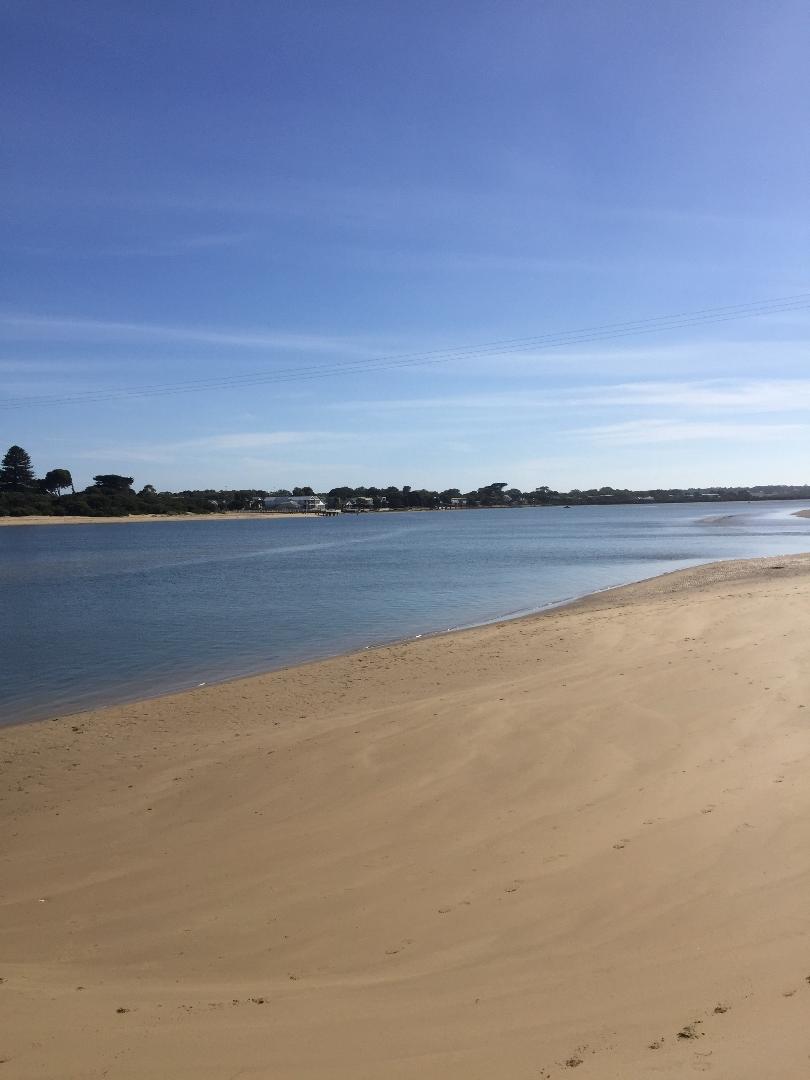
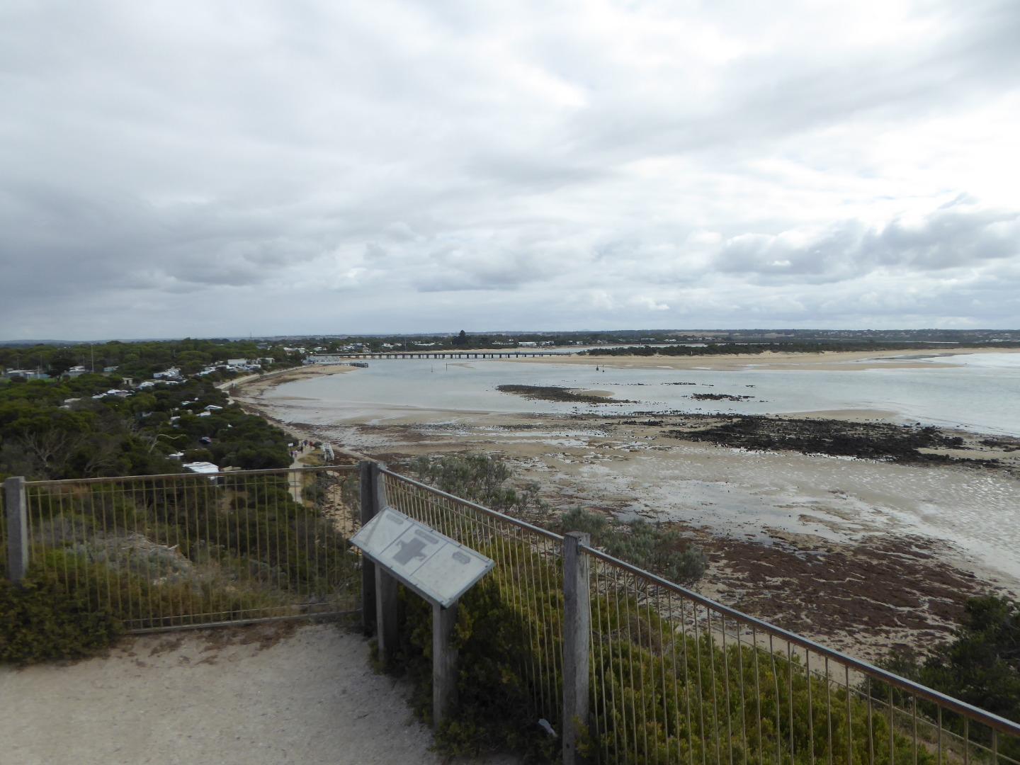
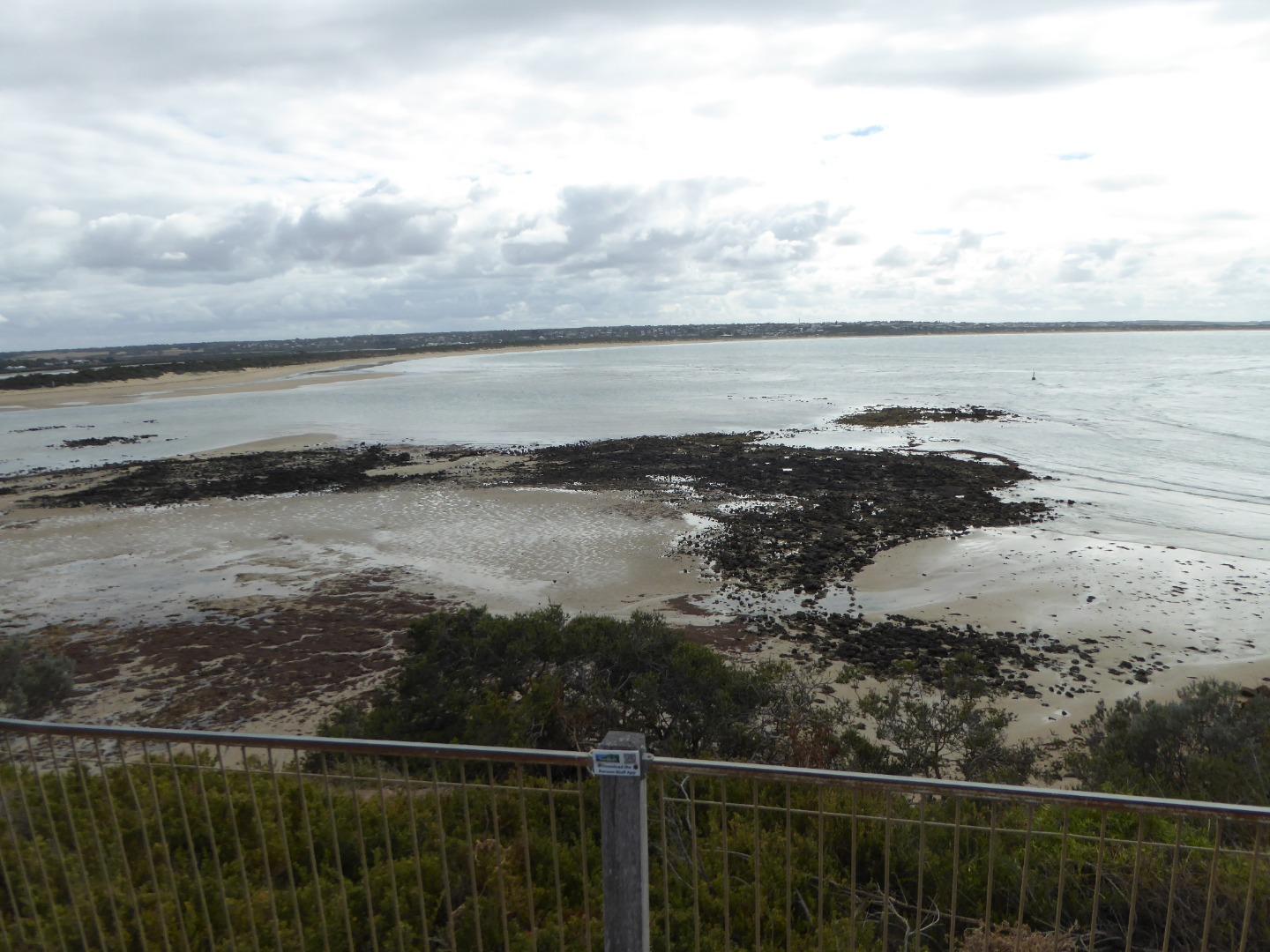
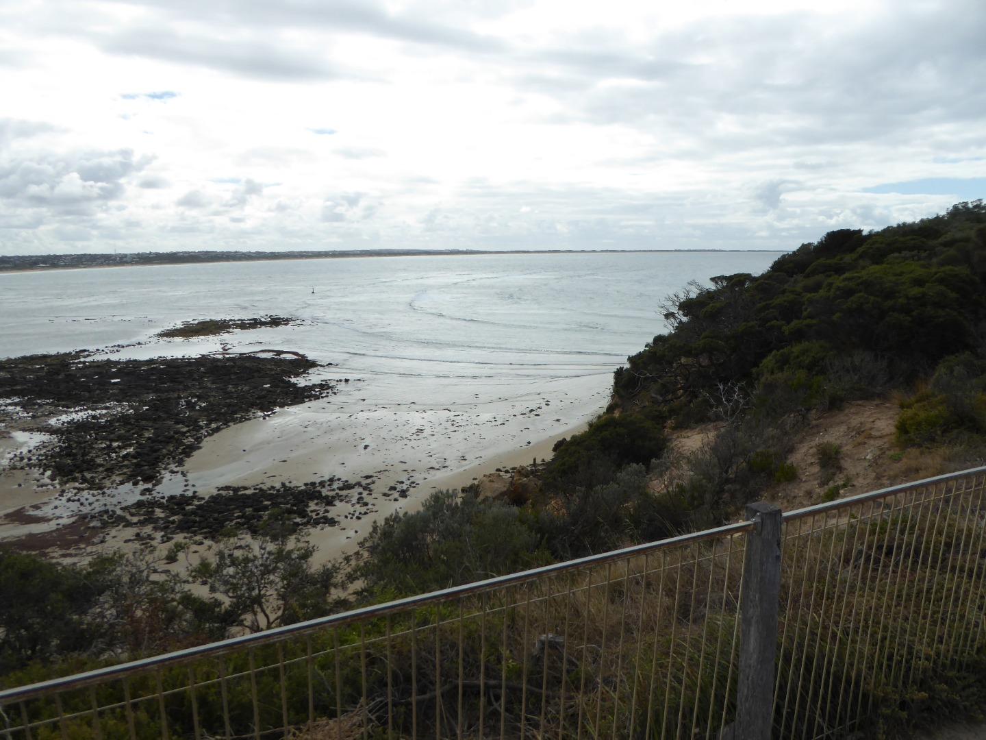
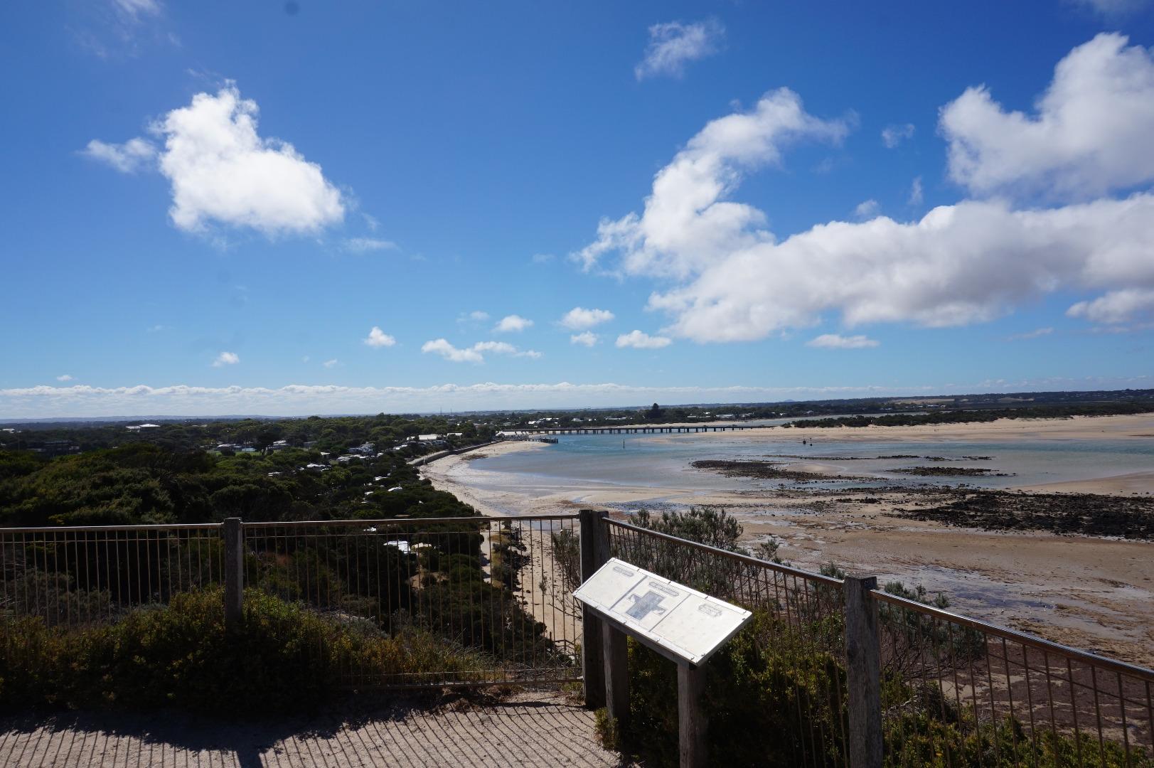
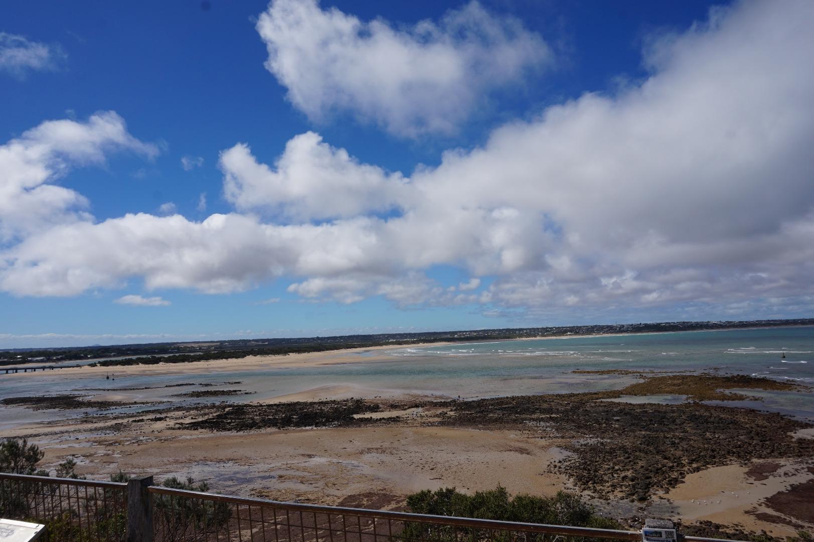
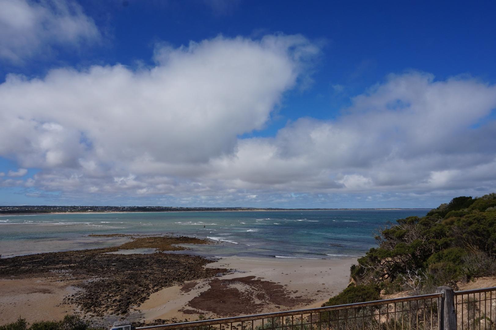
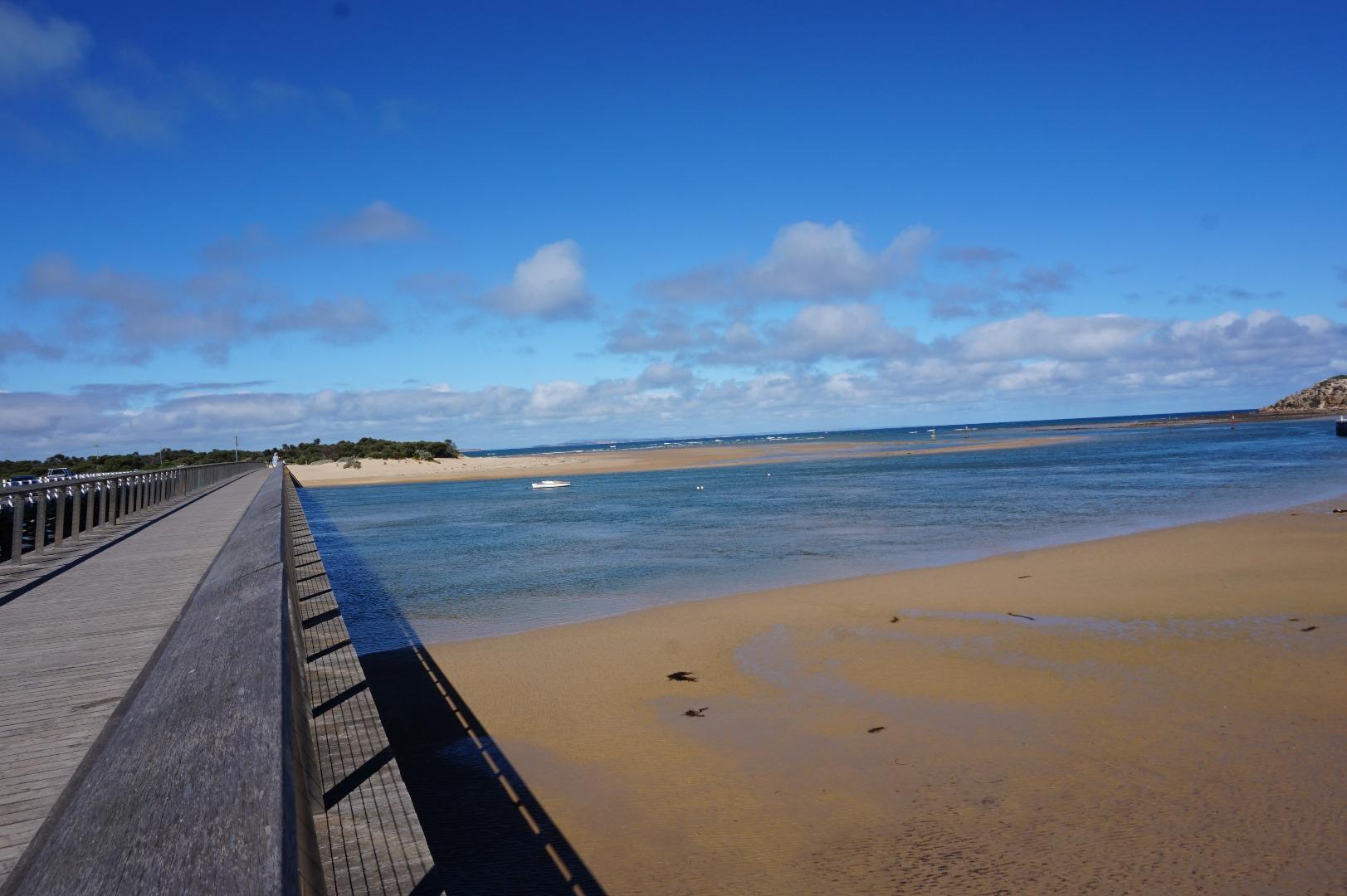
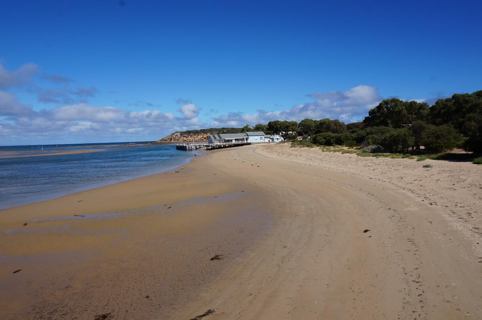
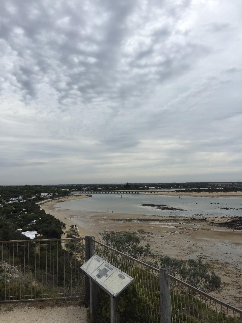
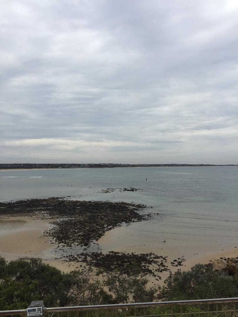
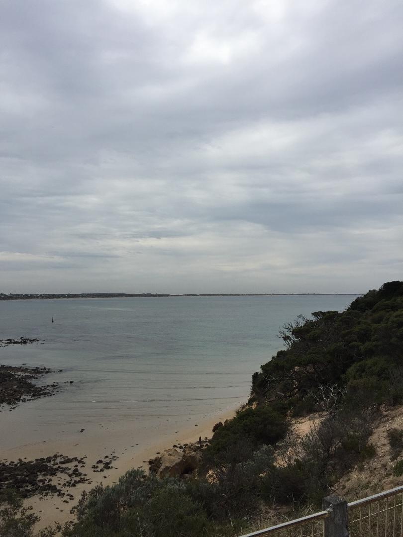
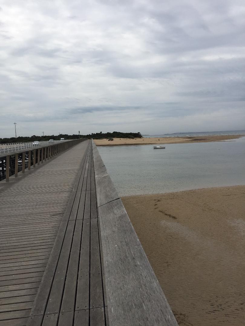
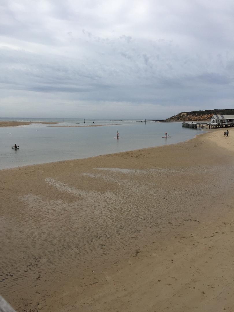
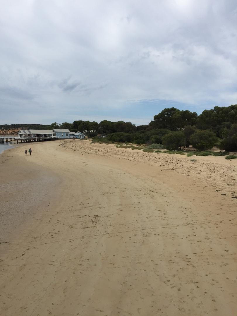
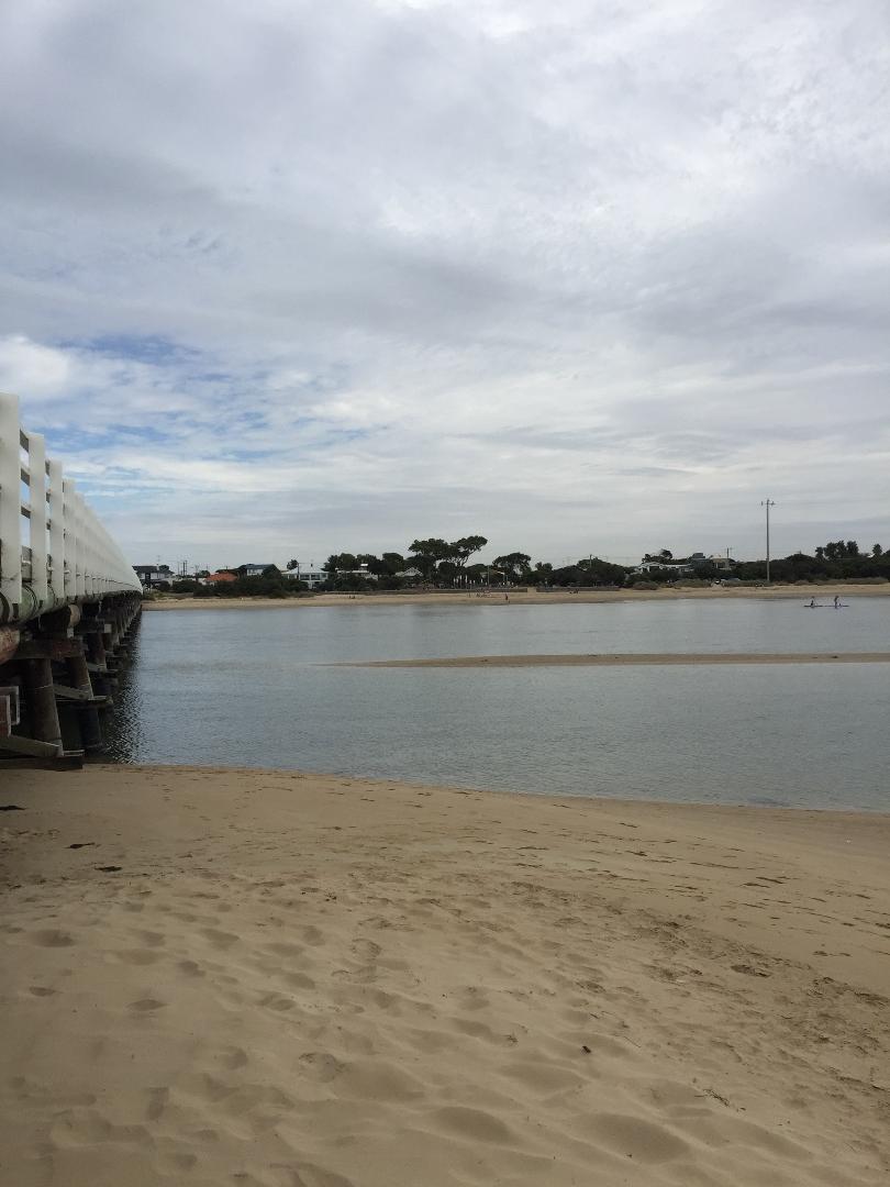
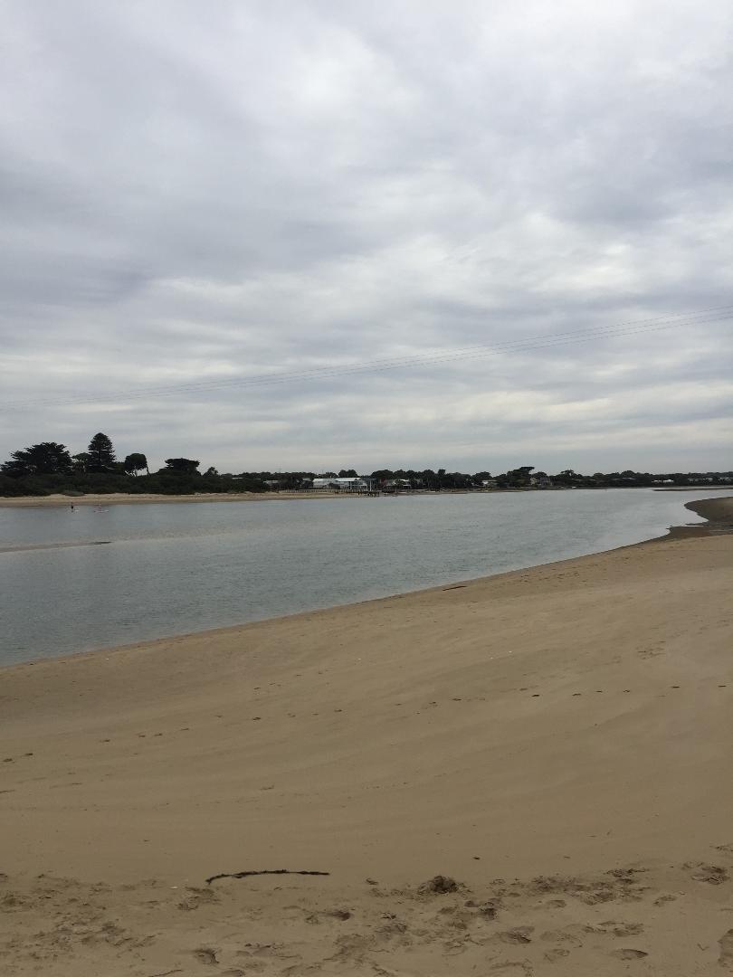
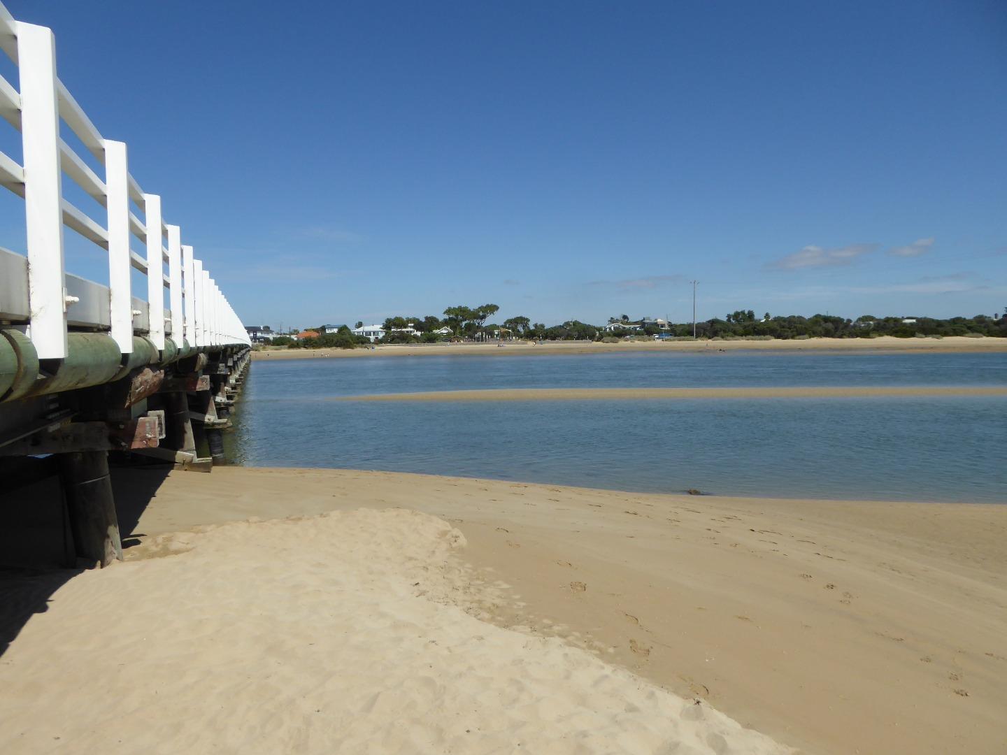
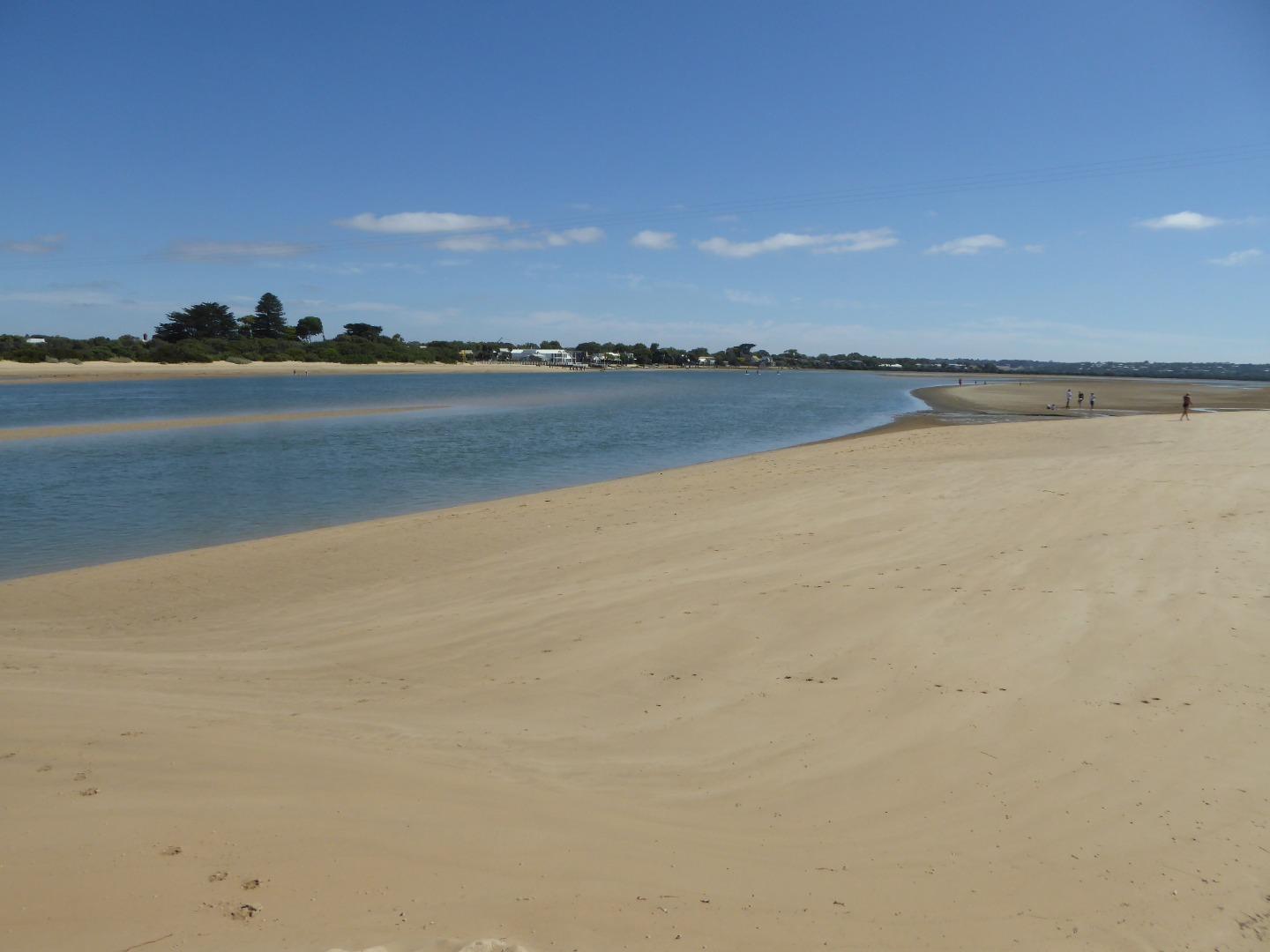
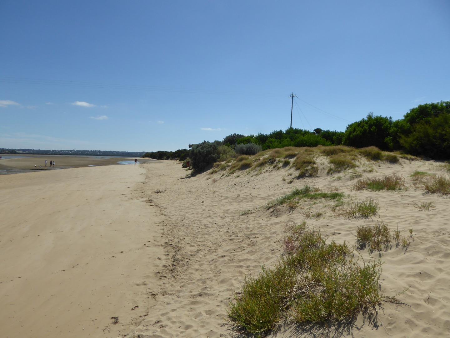
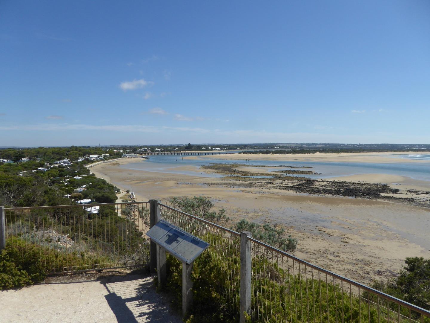
BMC Barwon River - Observation Site
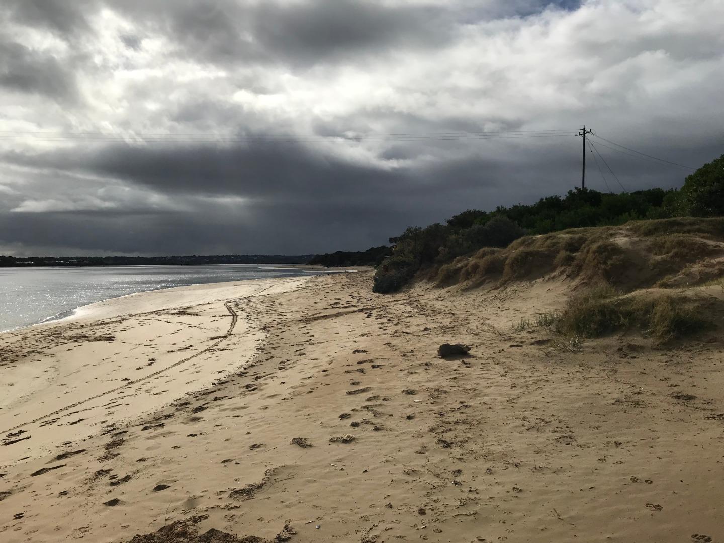
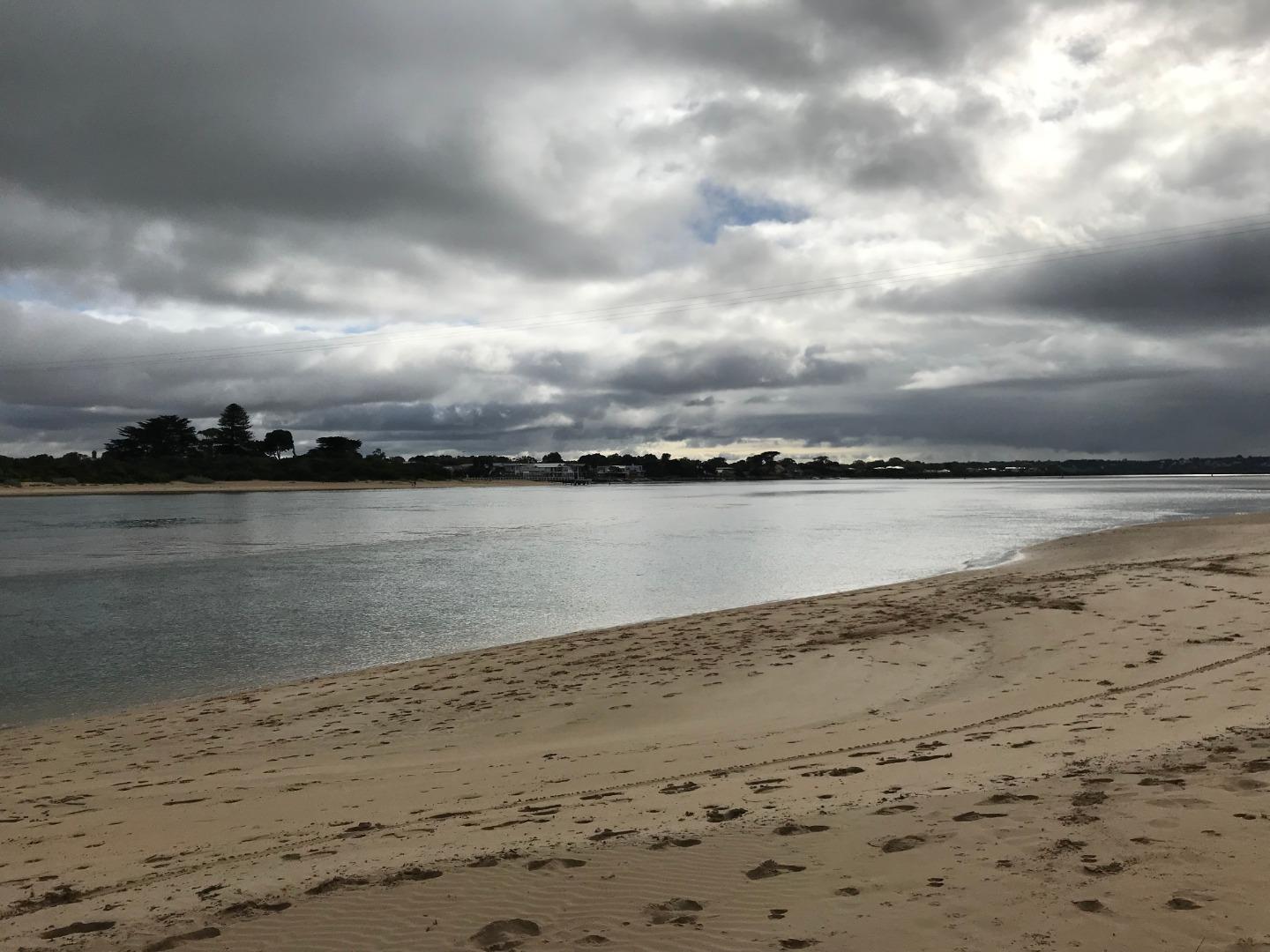
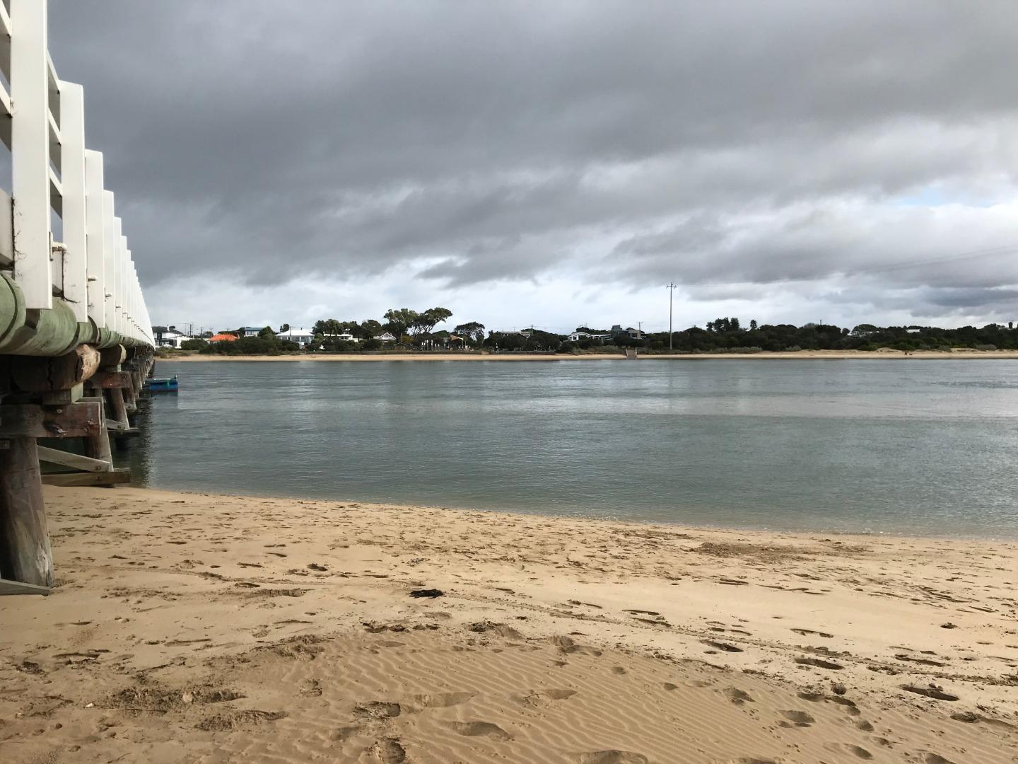
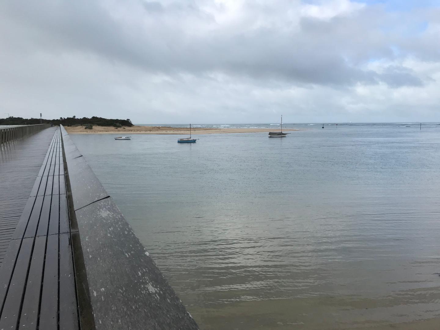
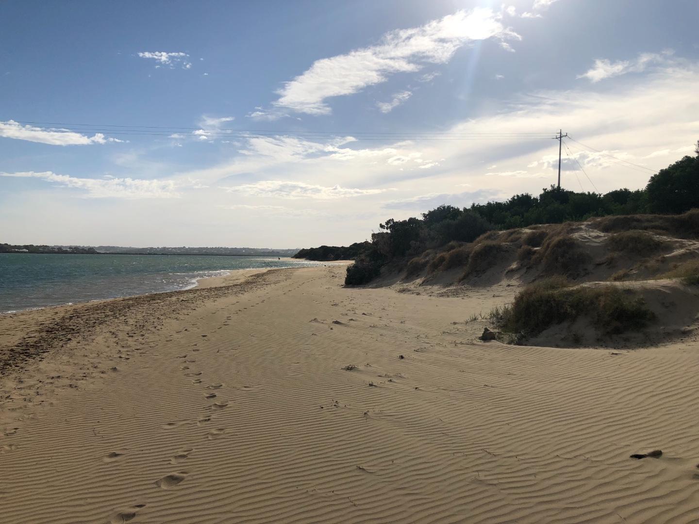
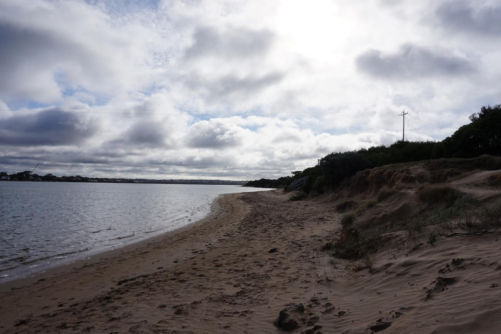
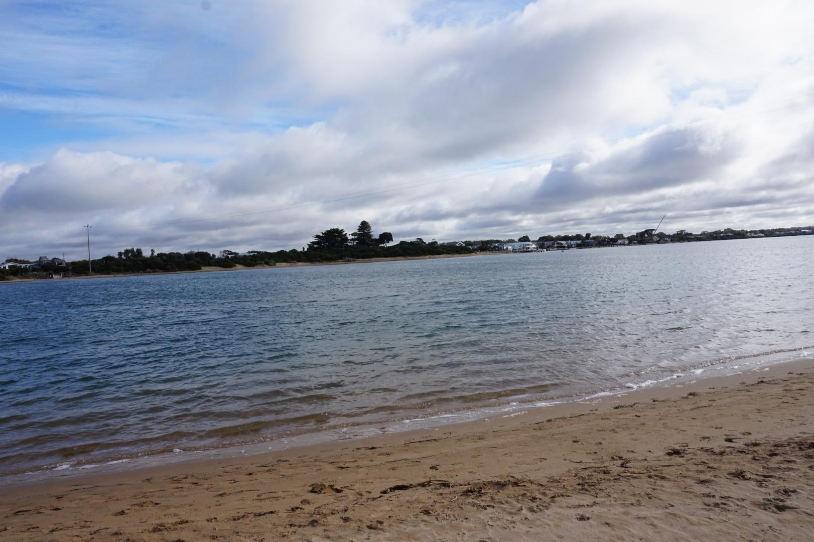
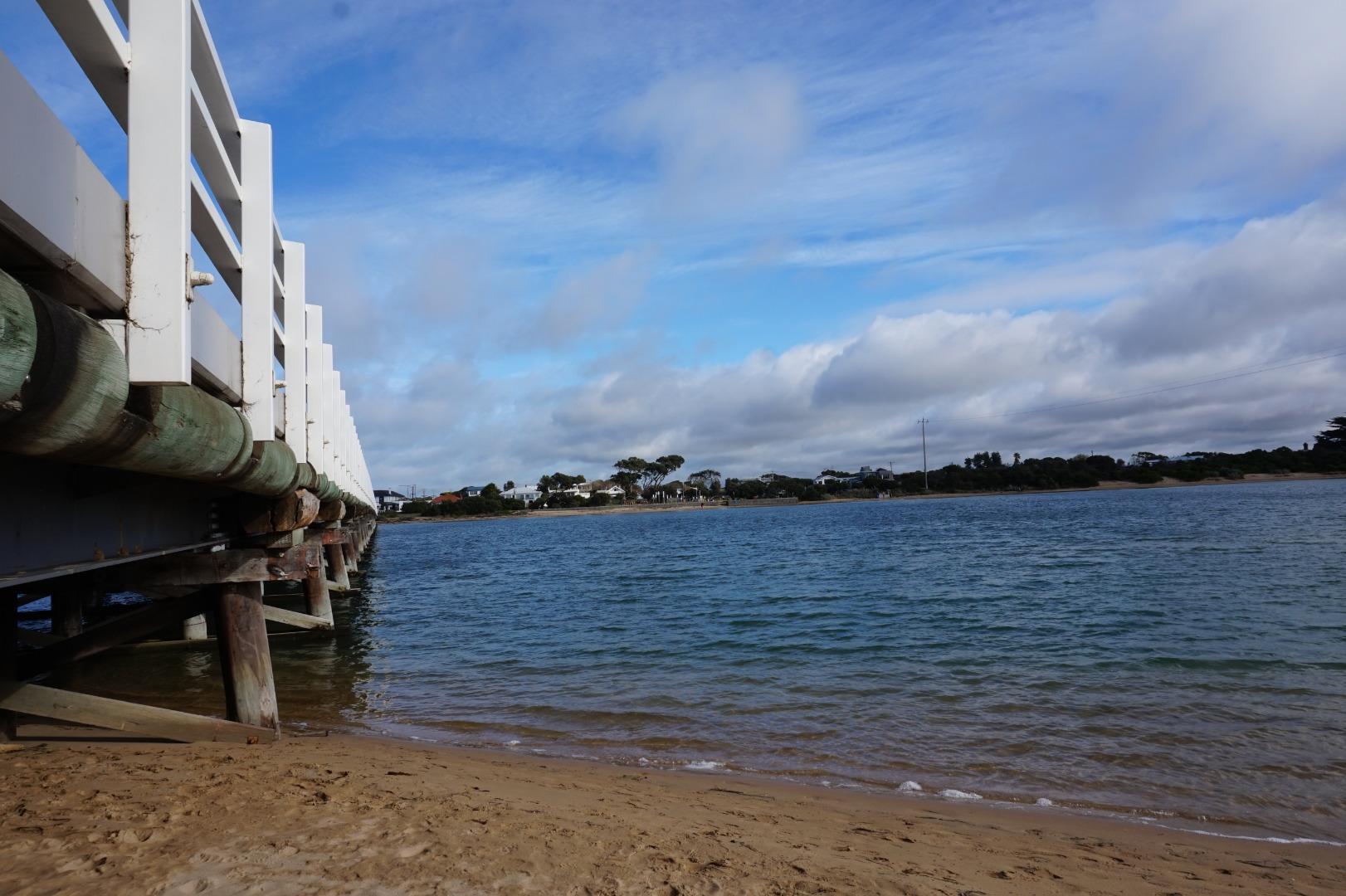
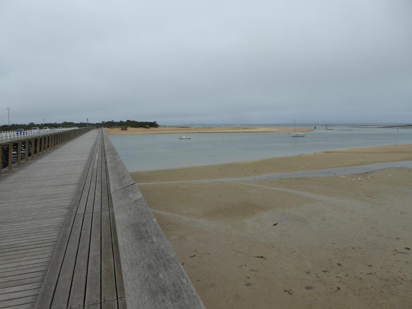
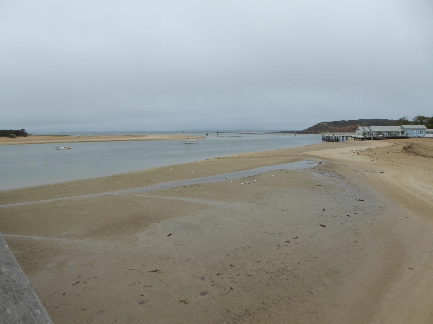
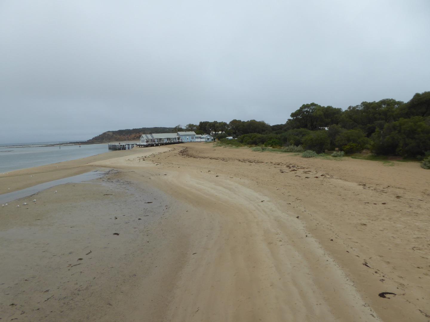
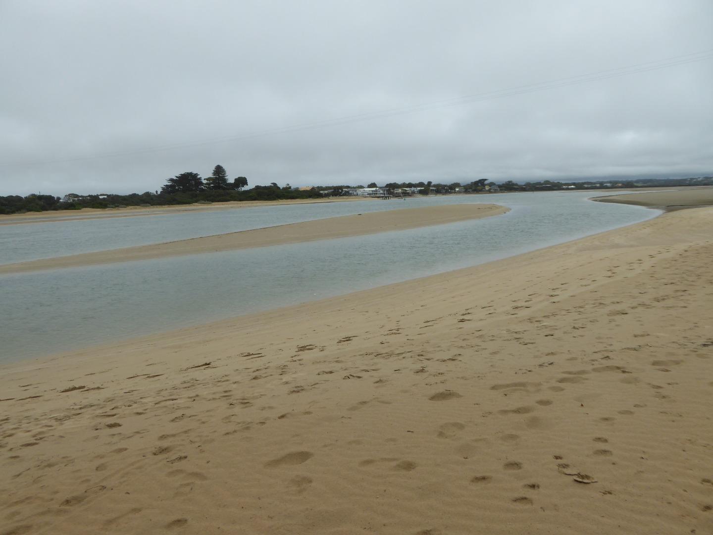
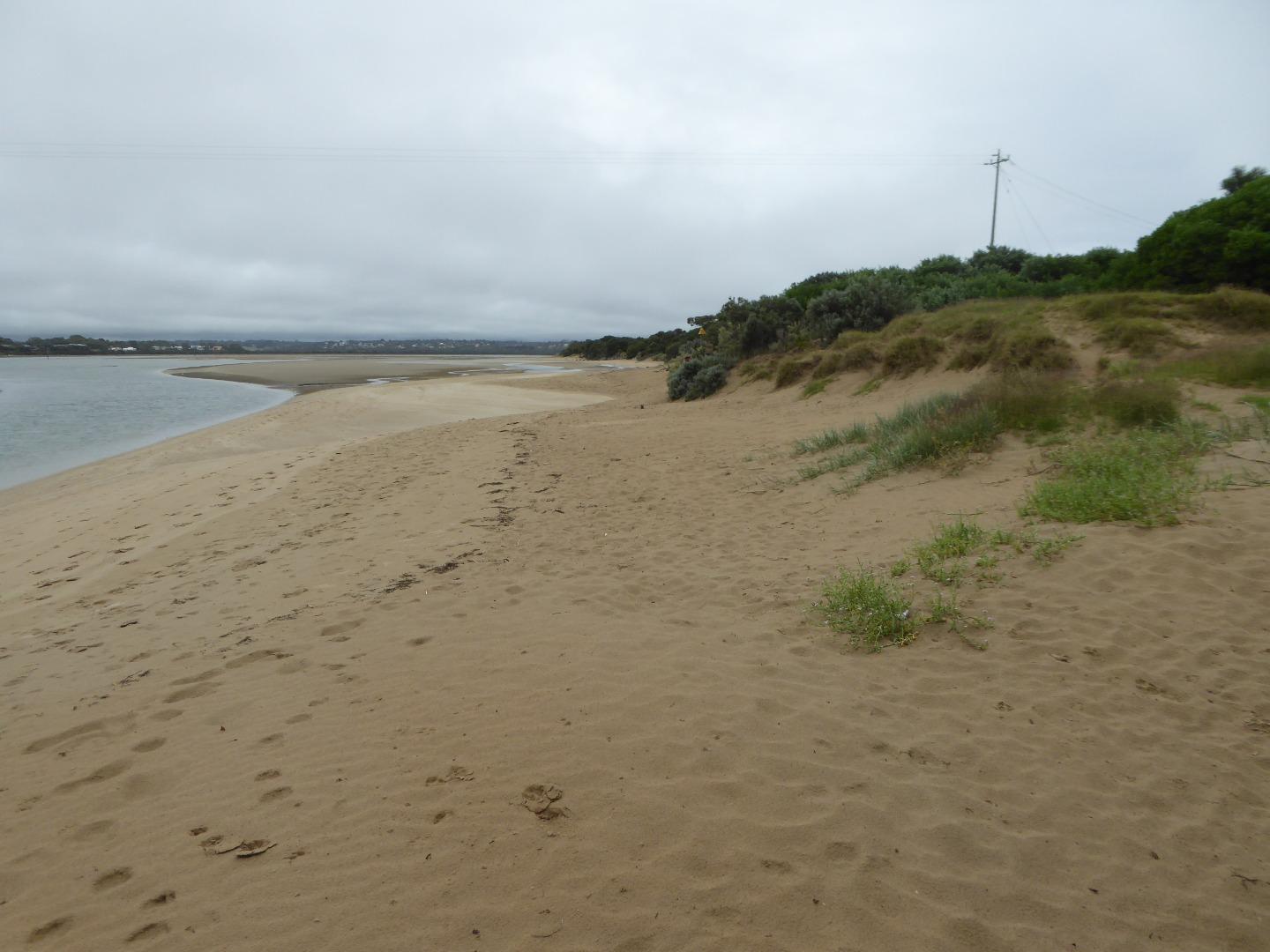
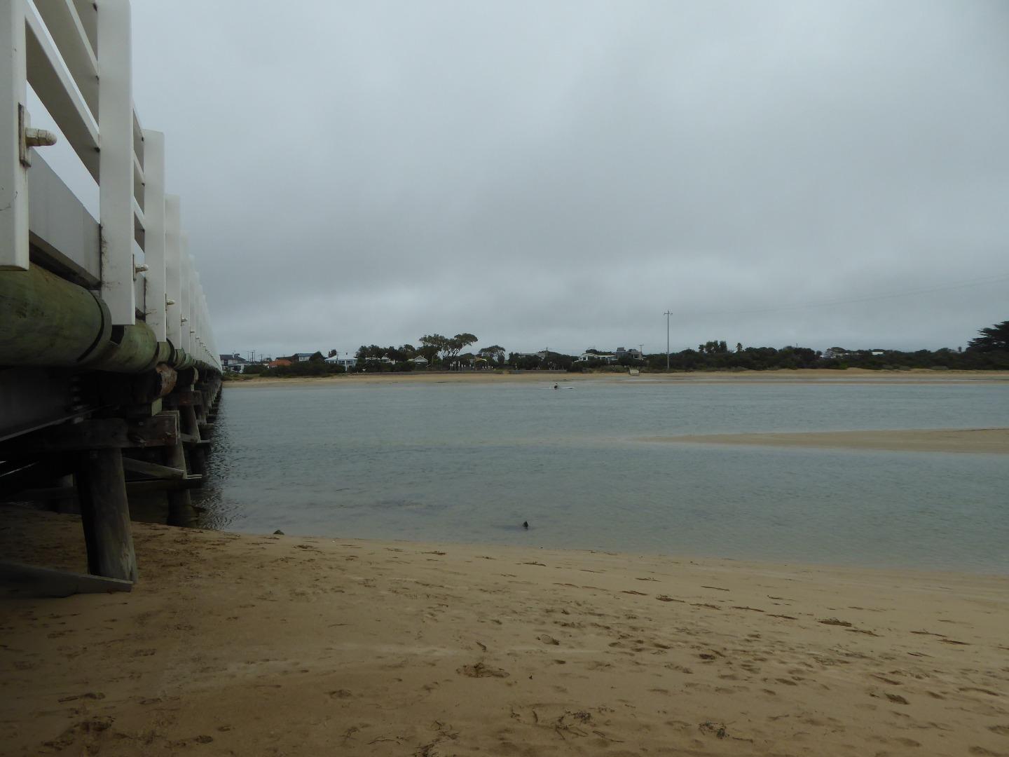
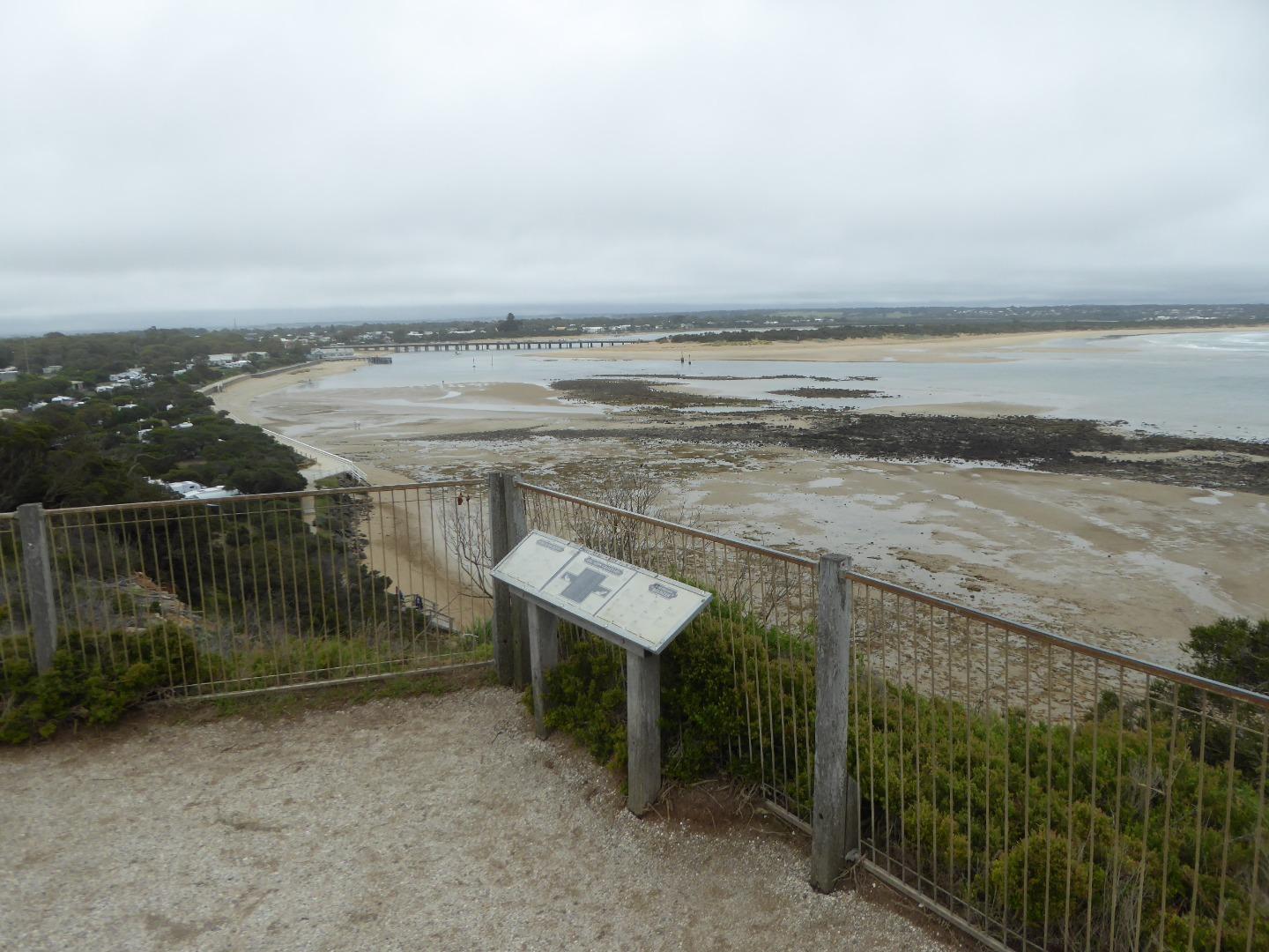
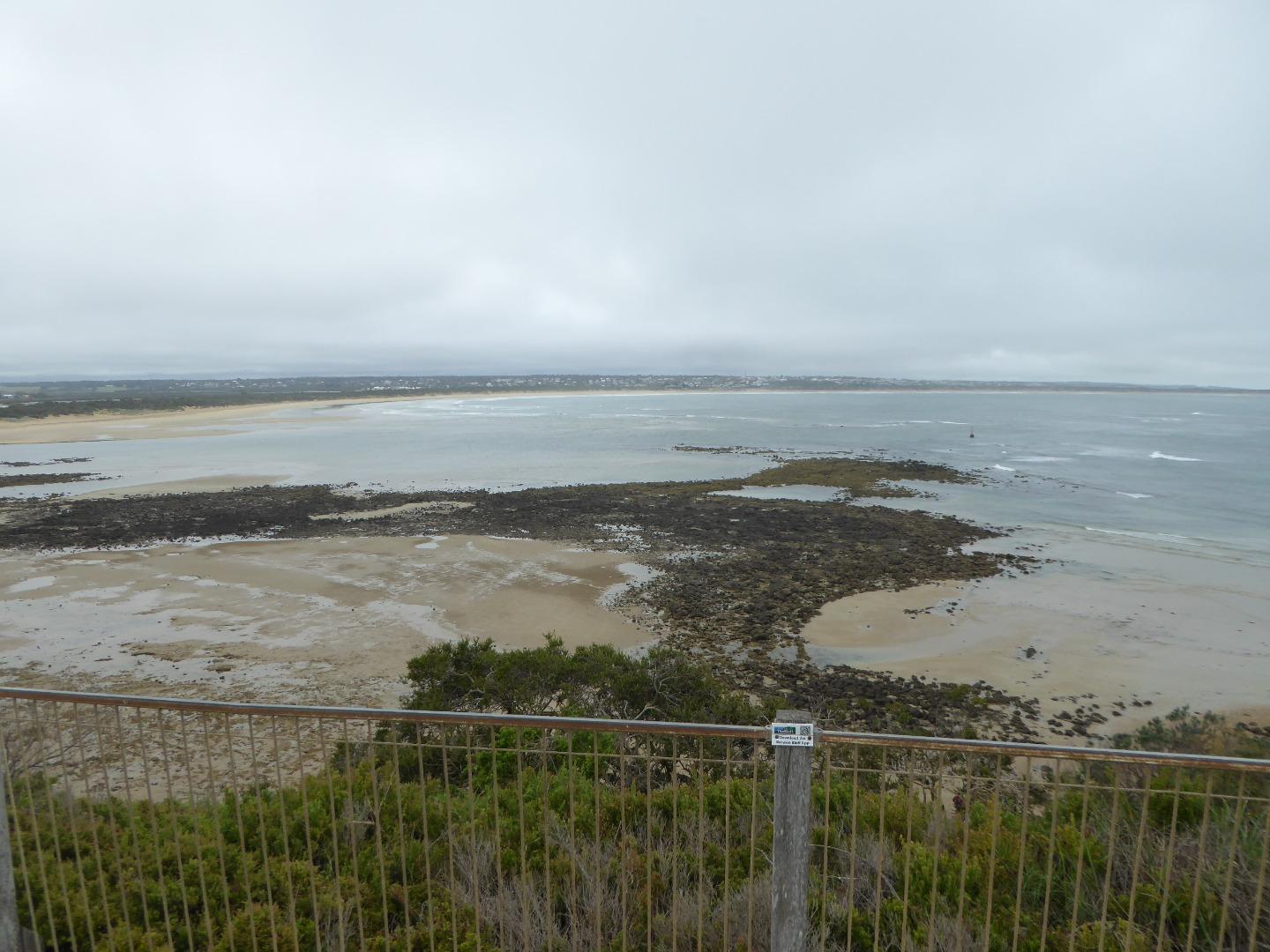
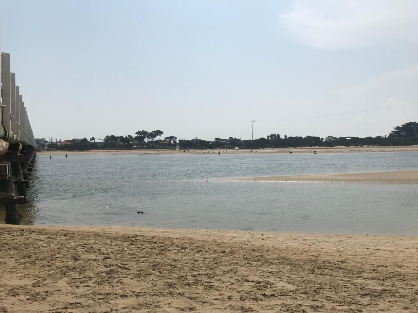
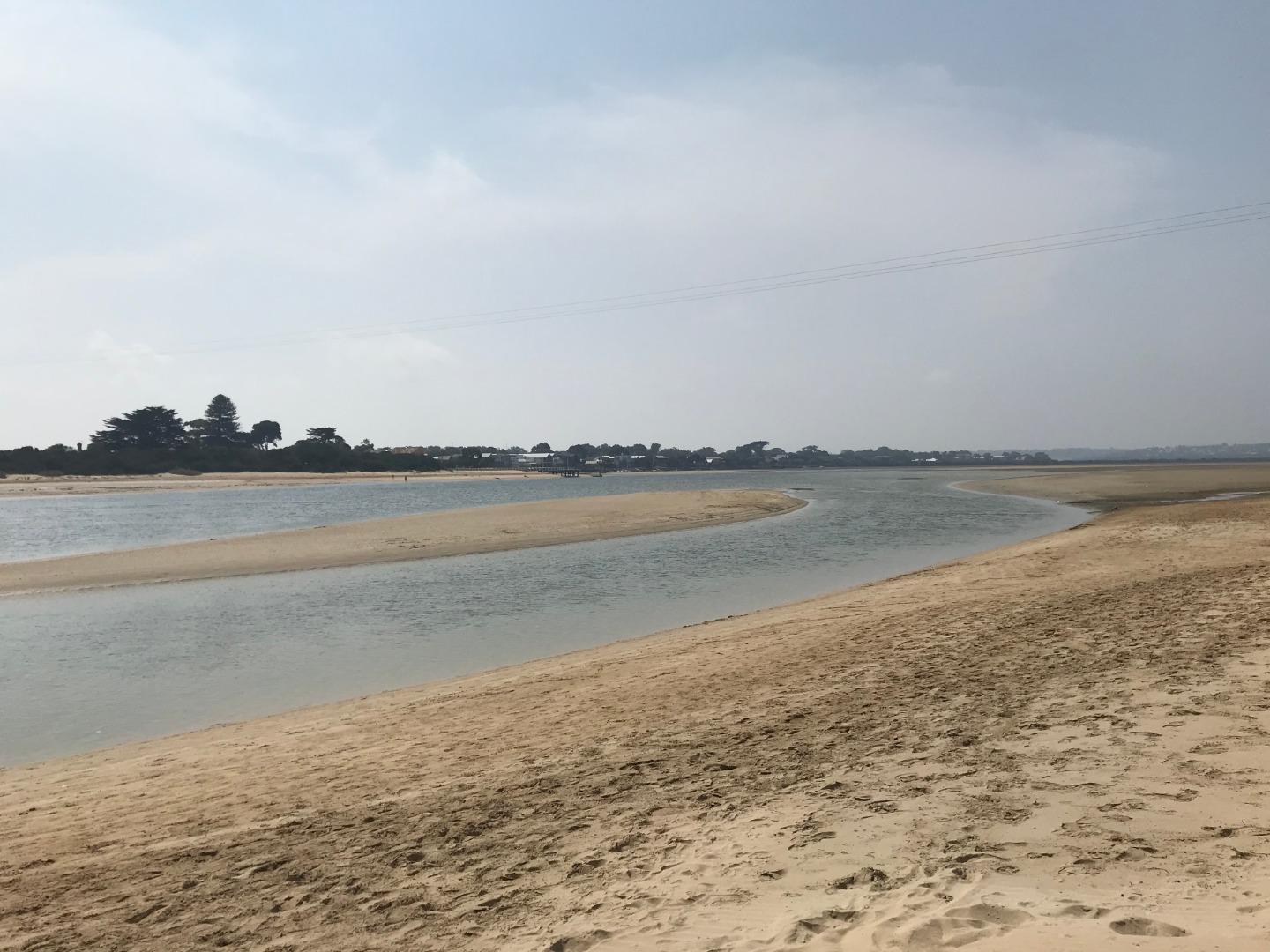
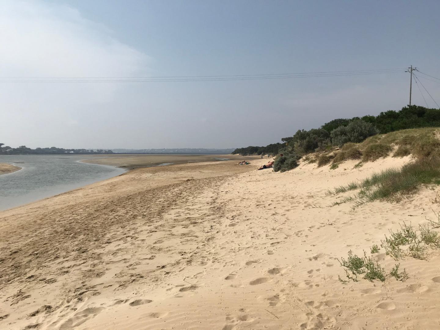
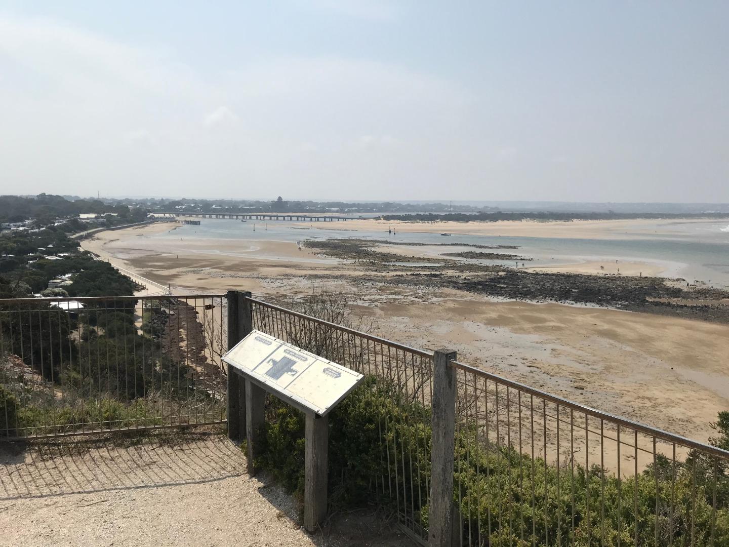
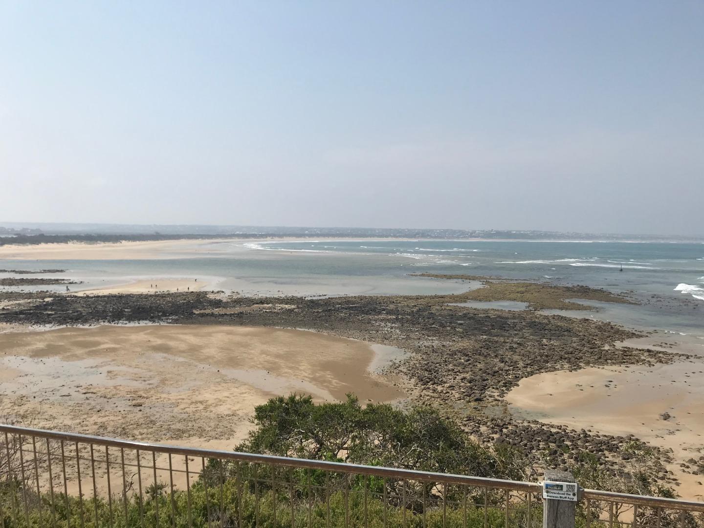
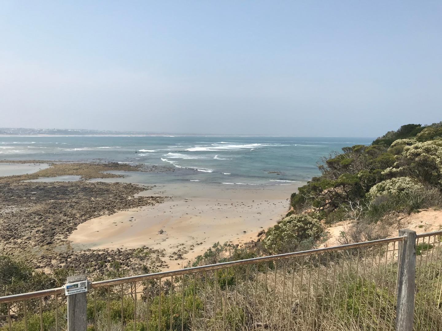
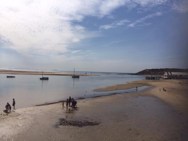
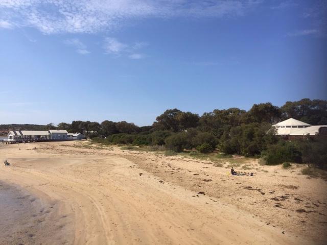
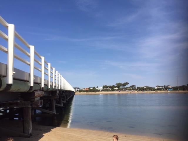
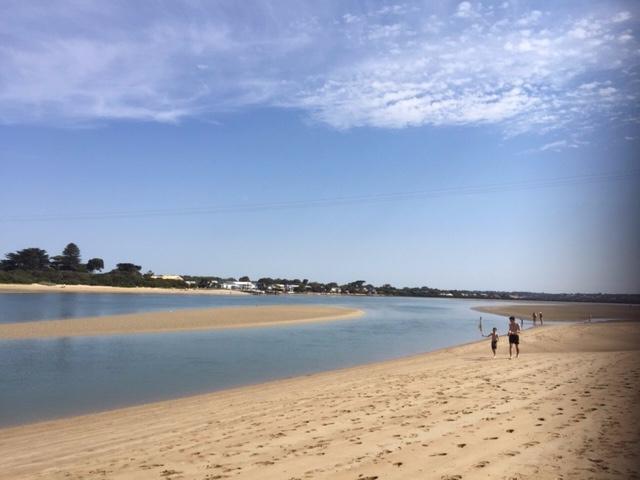
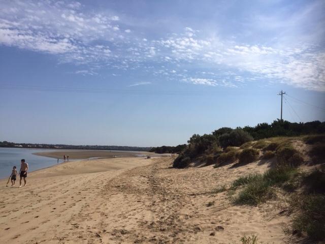
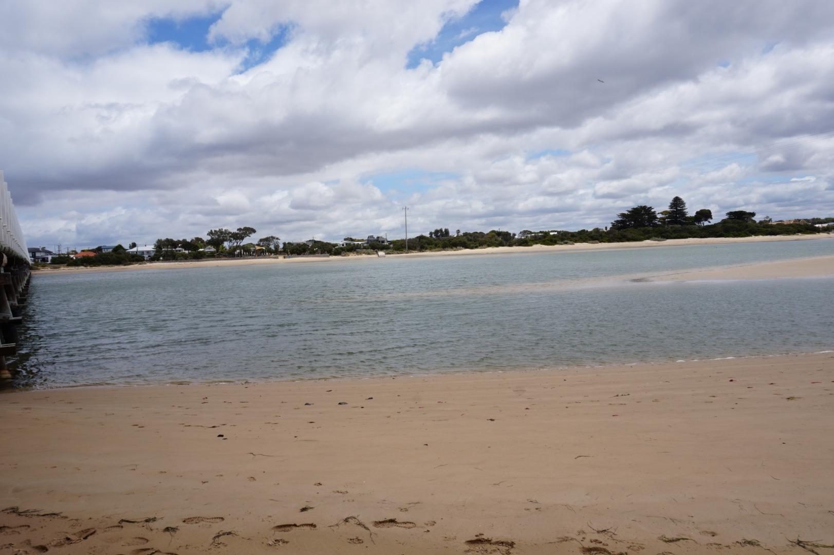
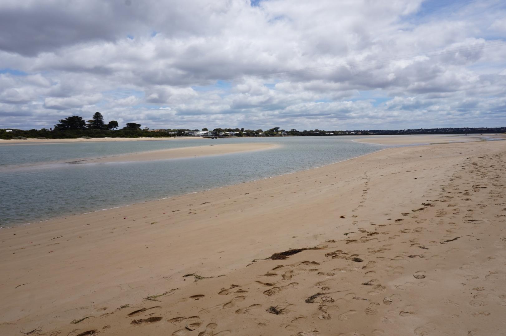
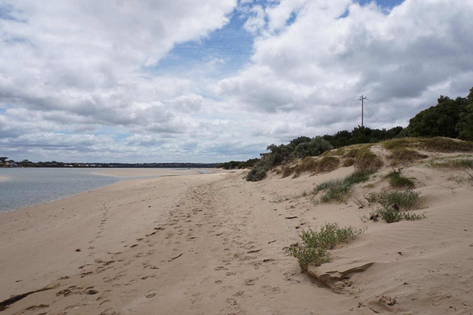
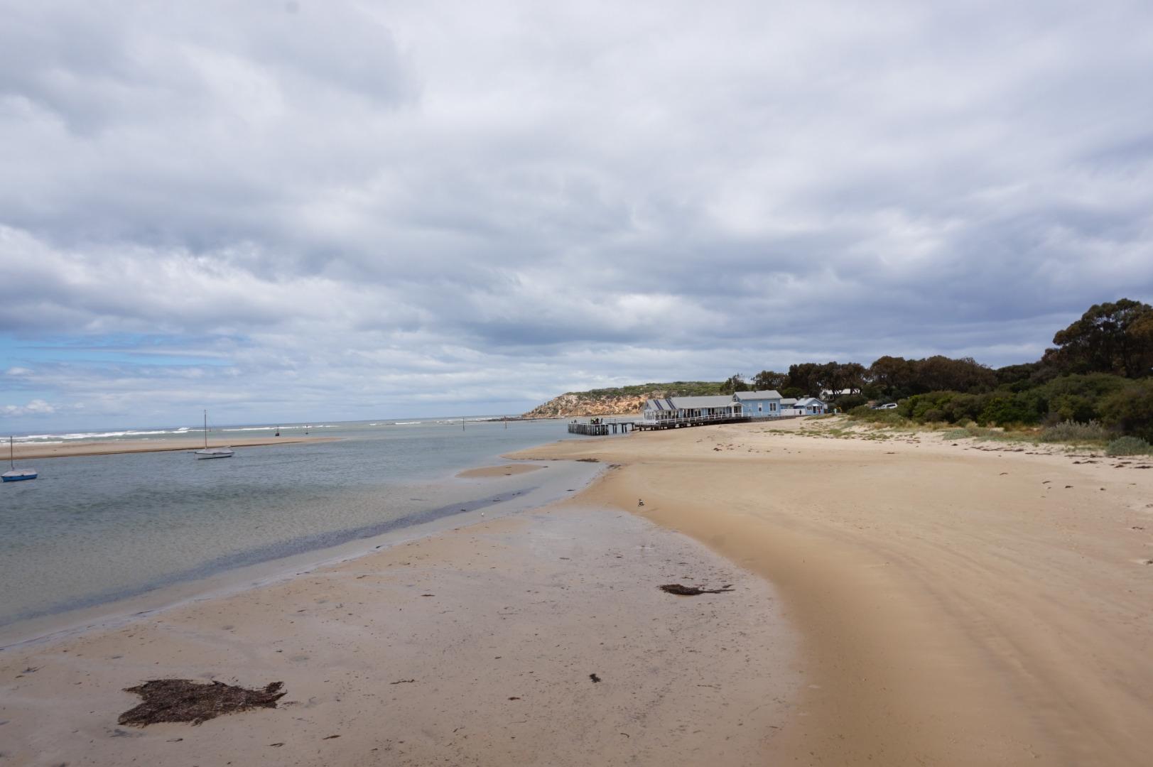
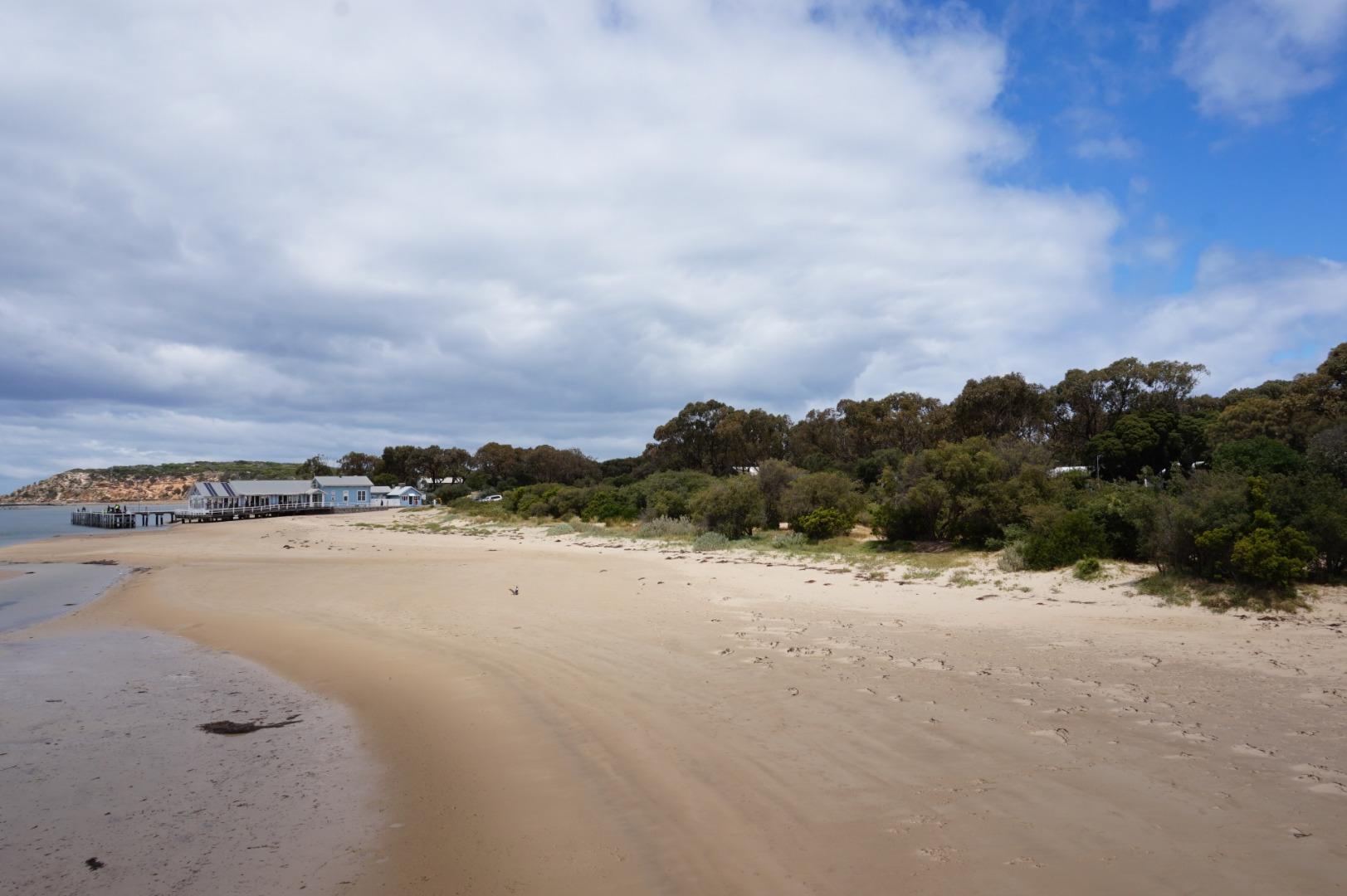
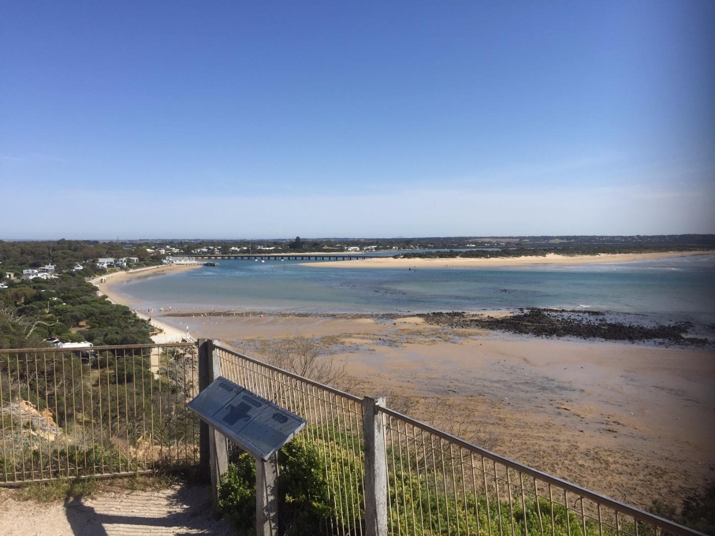
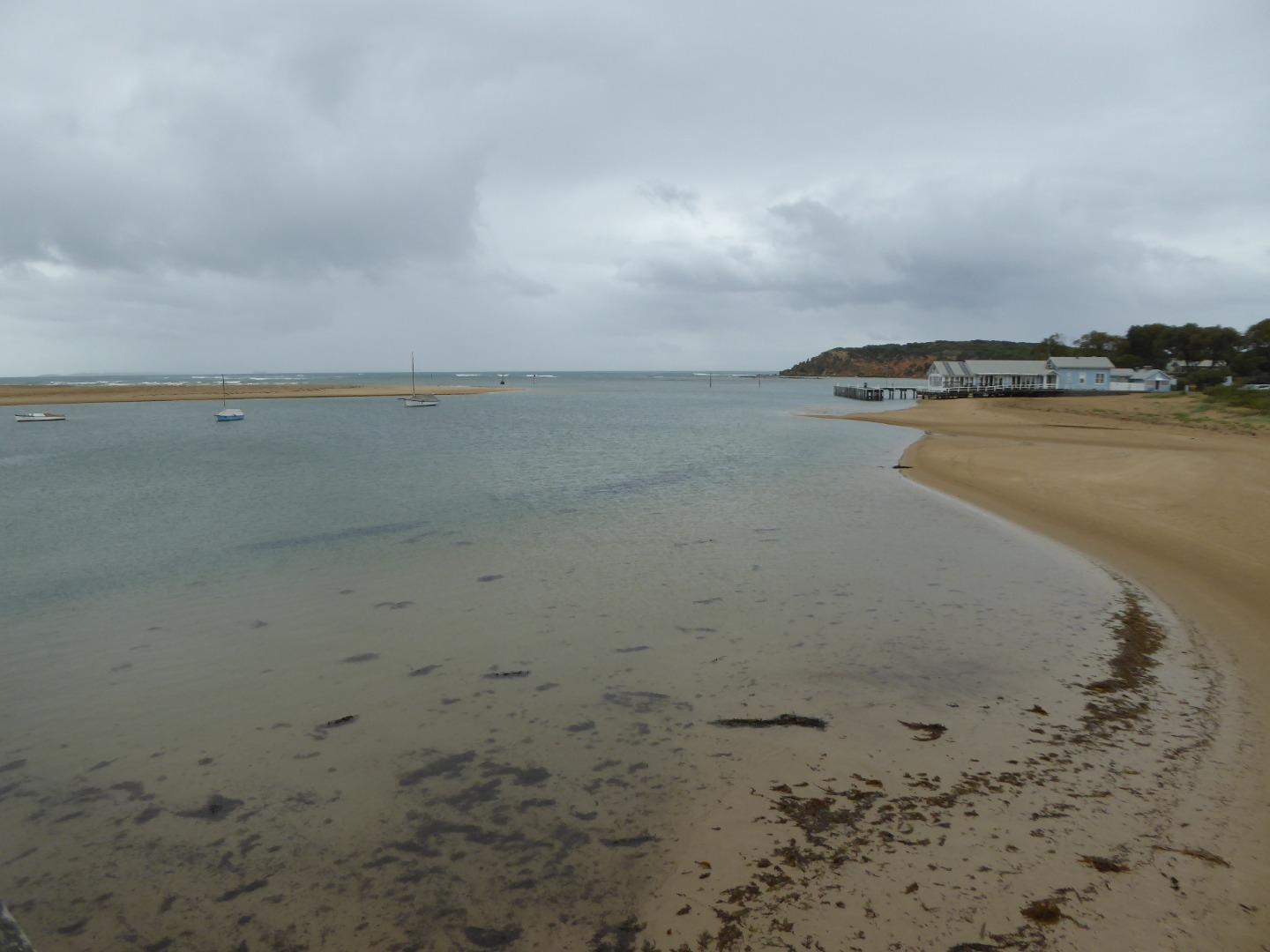
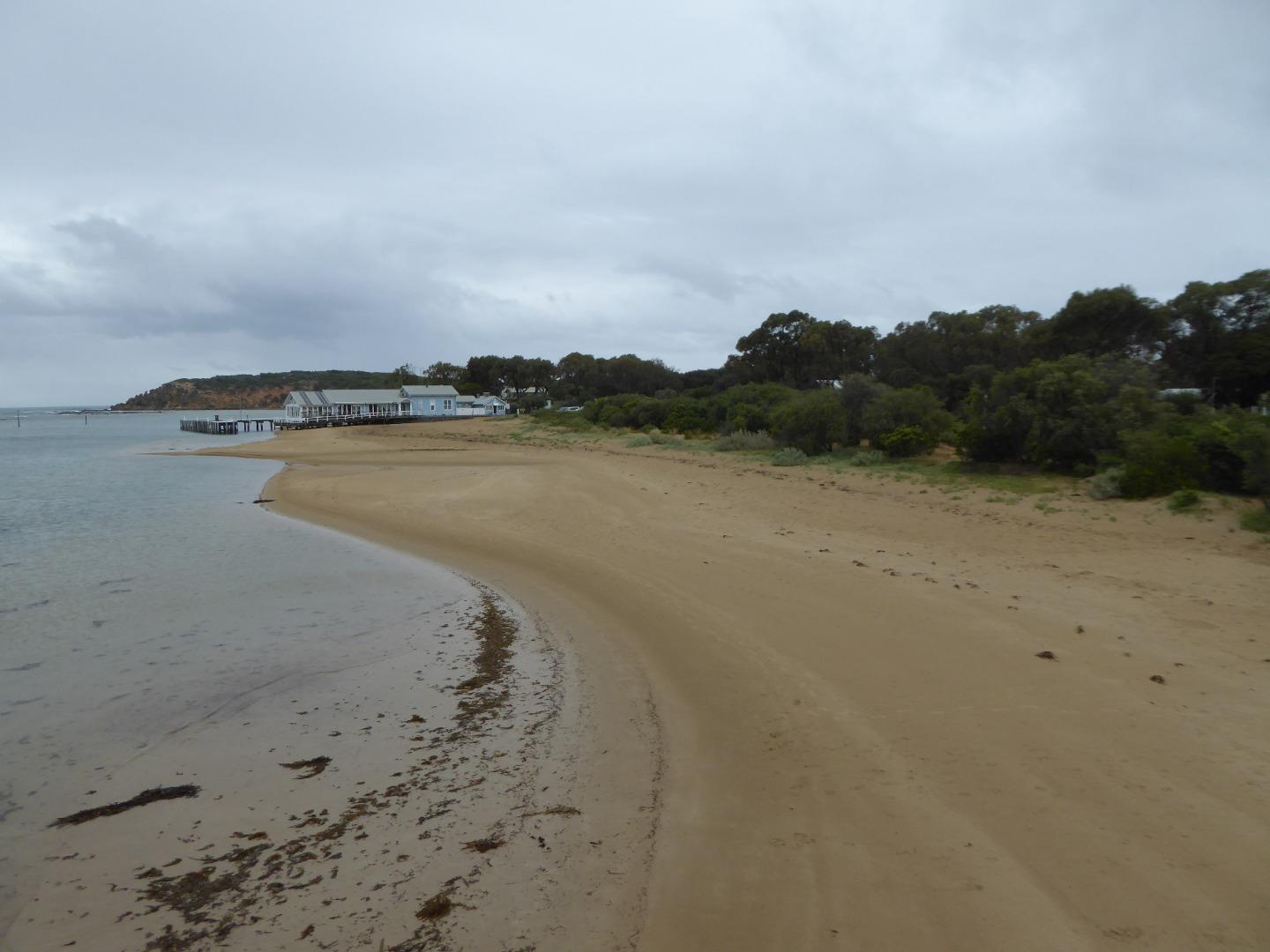
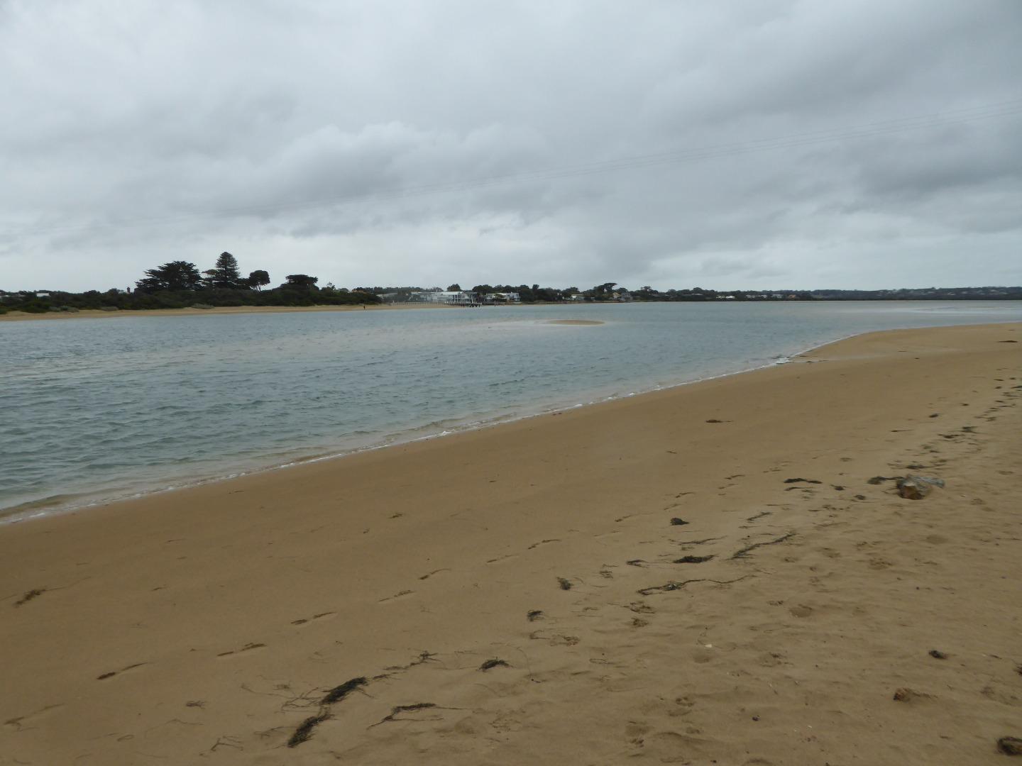
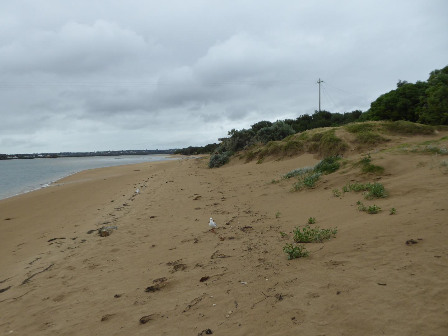
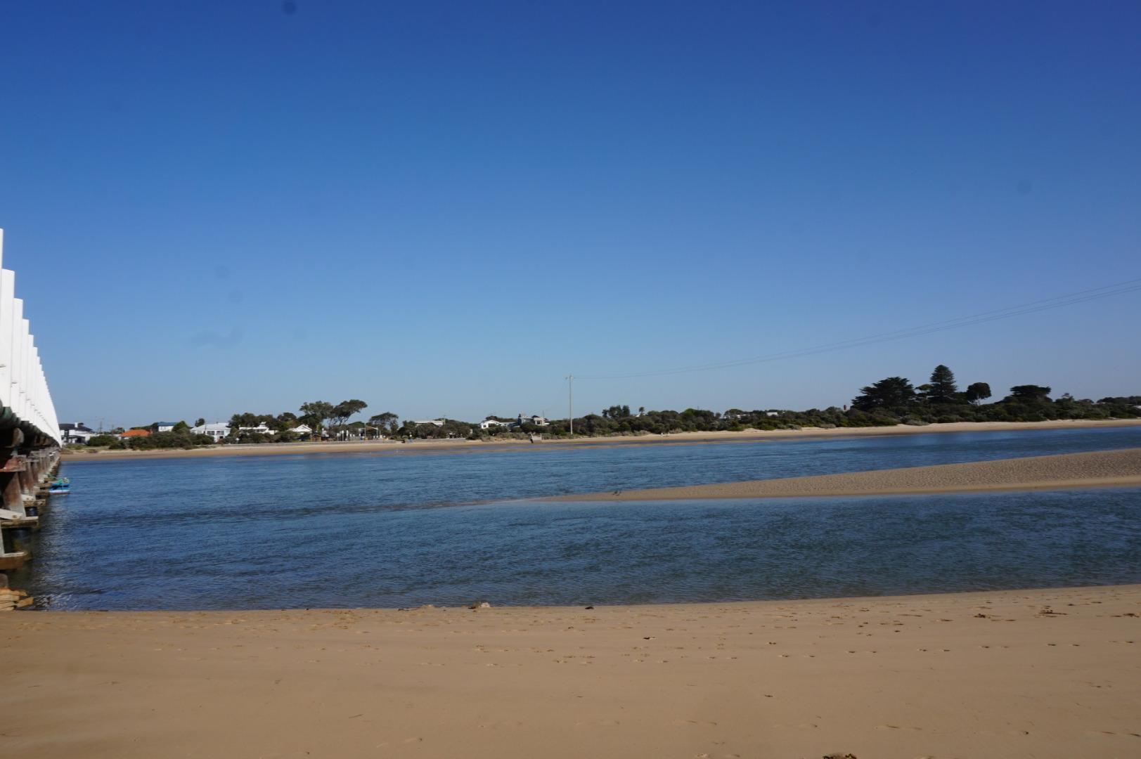
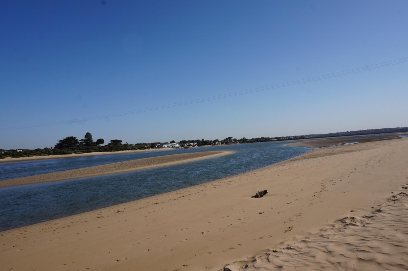
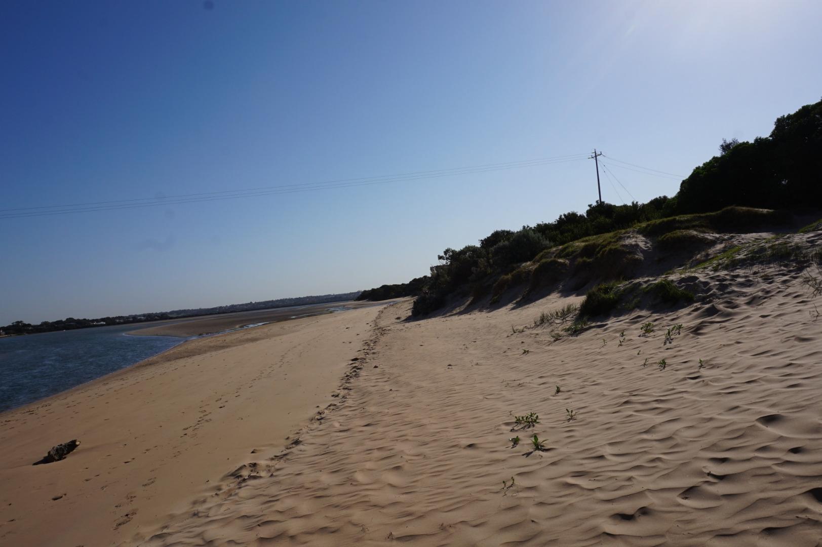
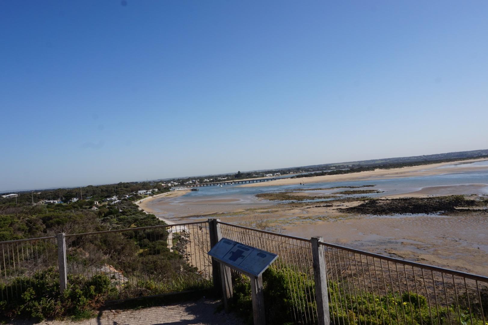
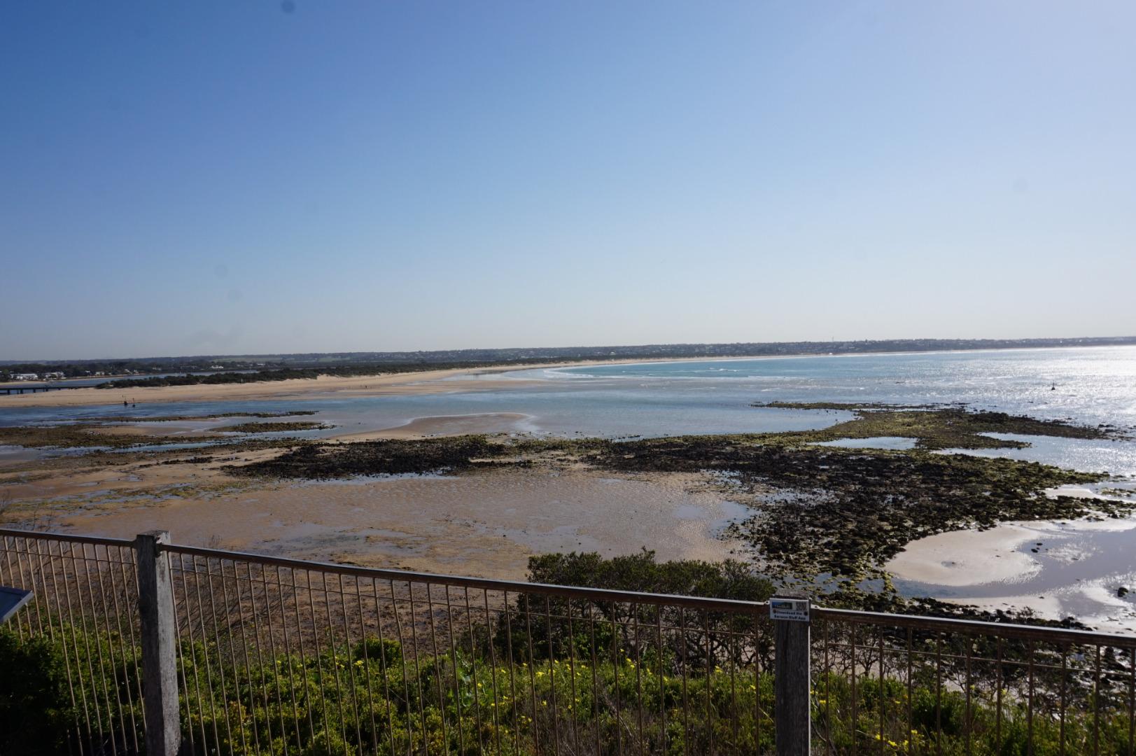
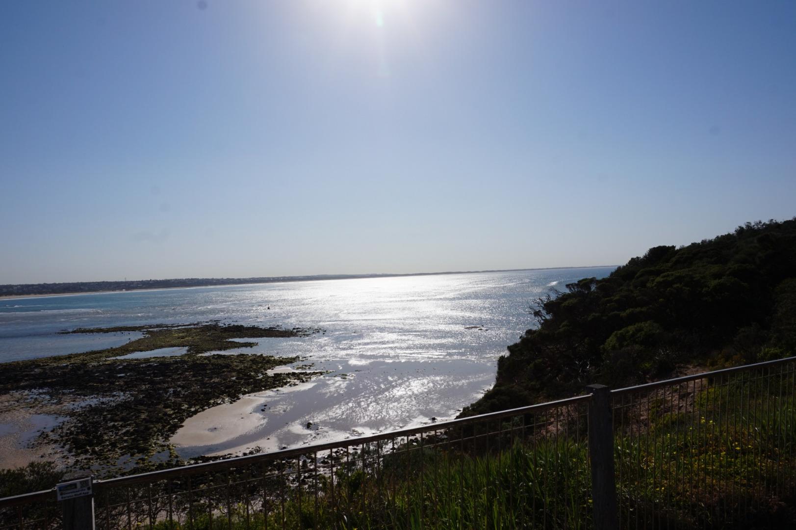
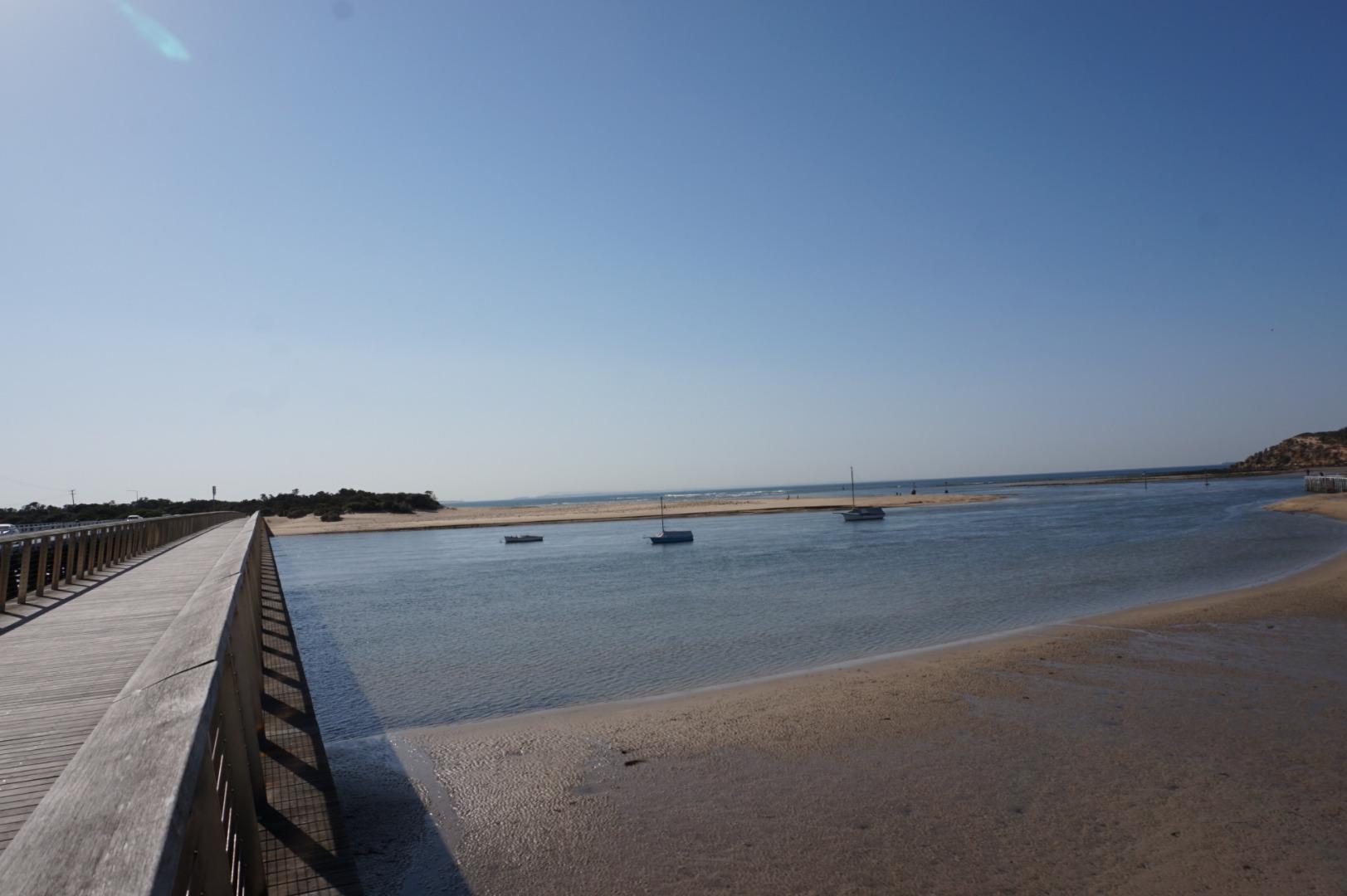
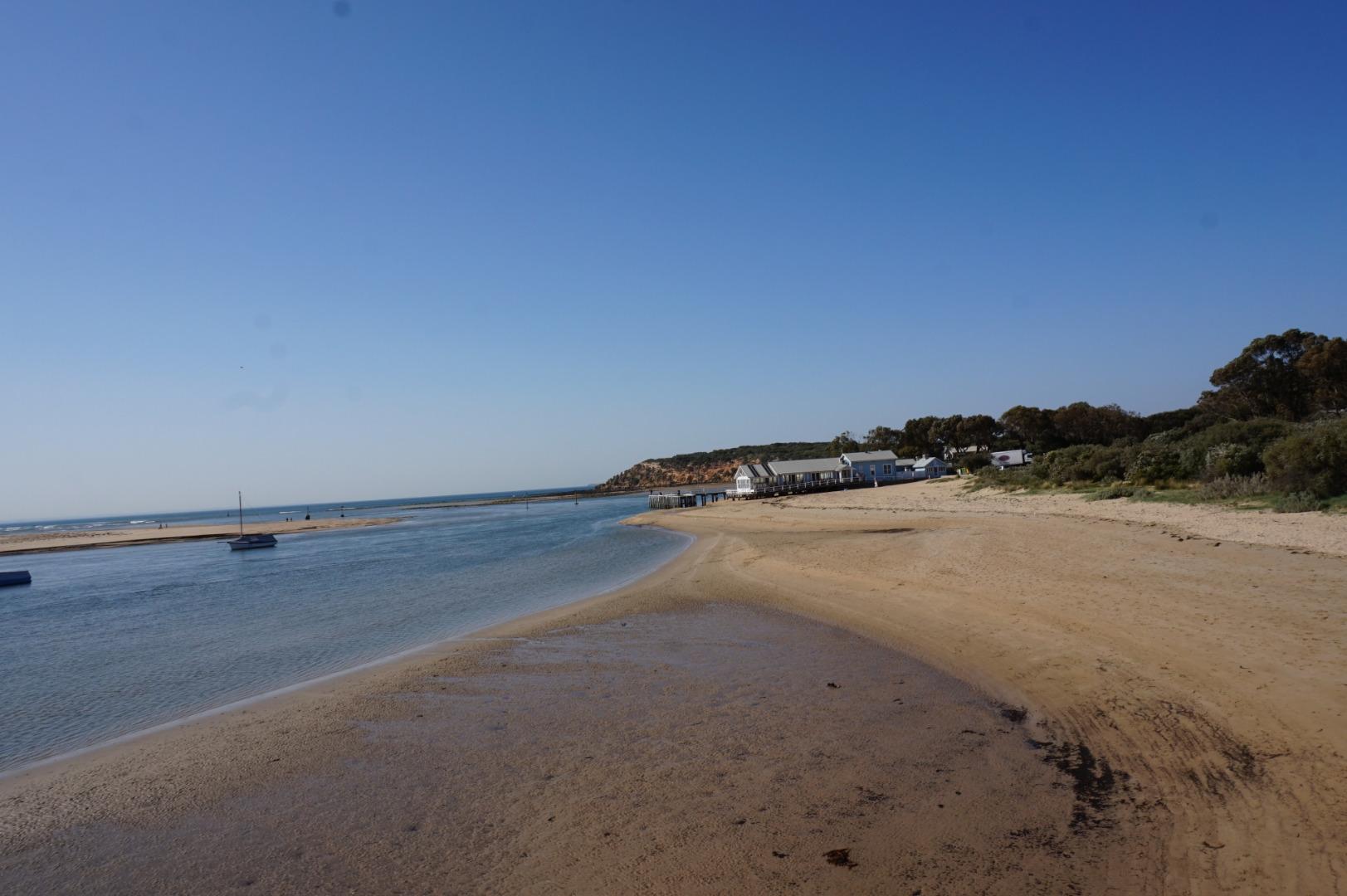
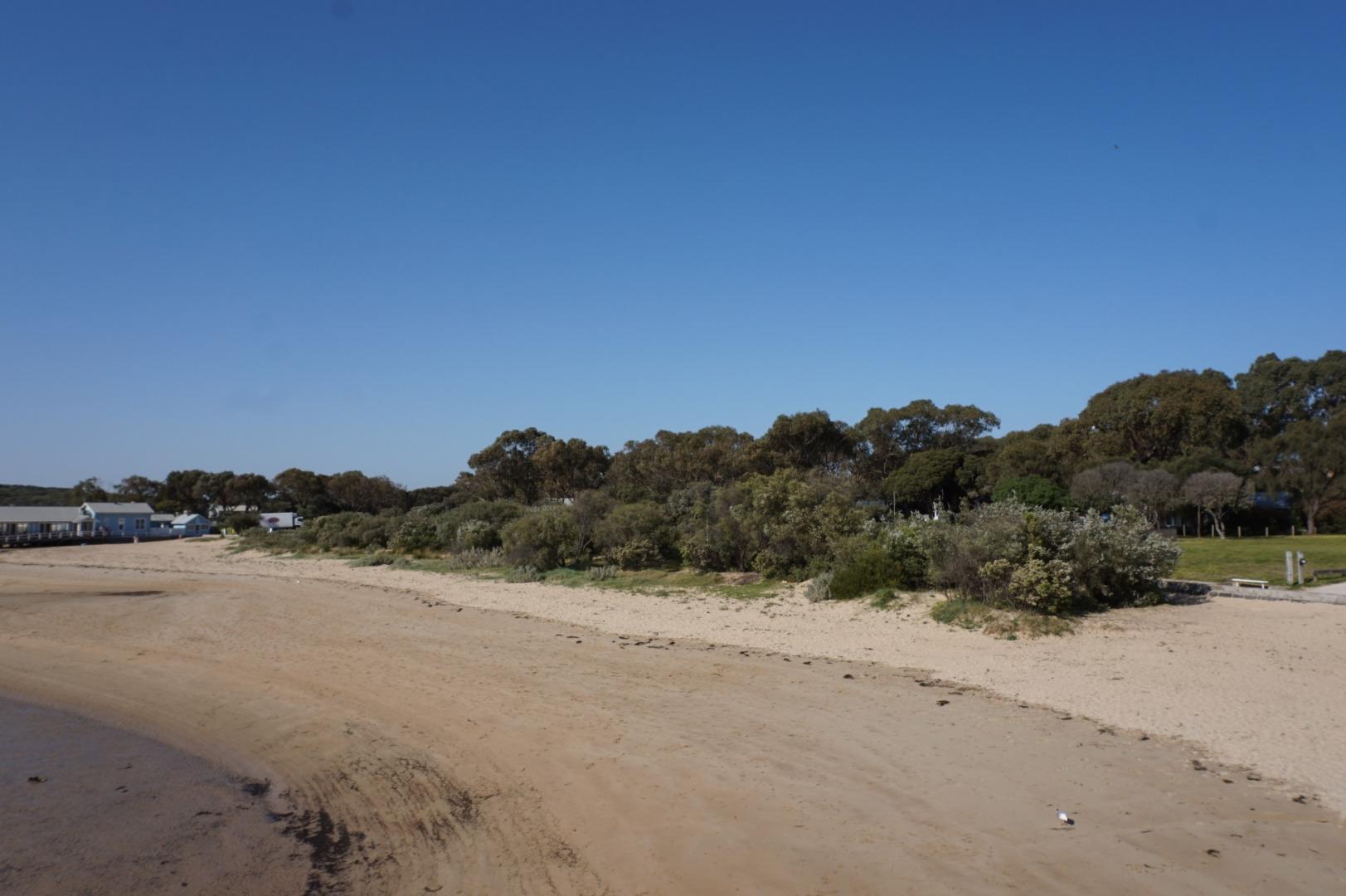
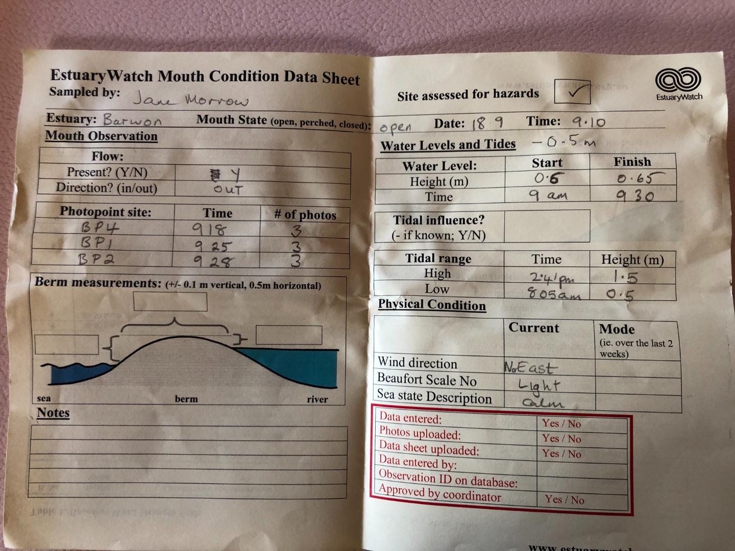
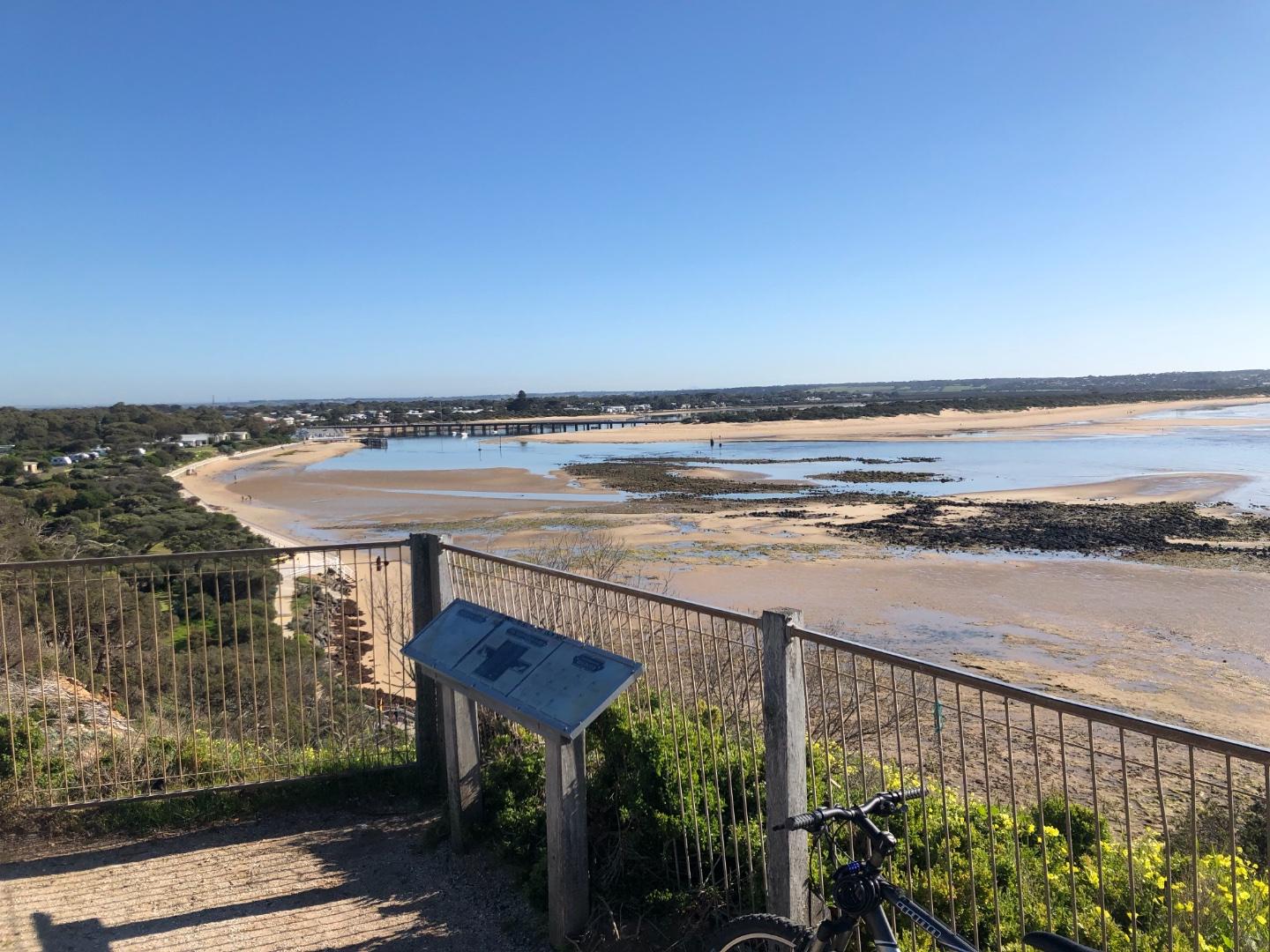
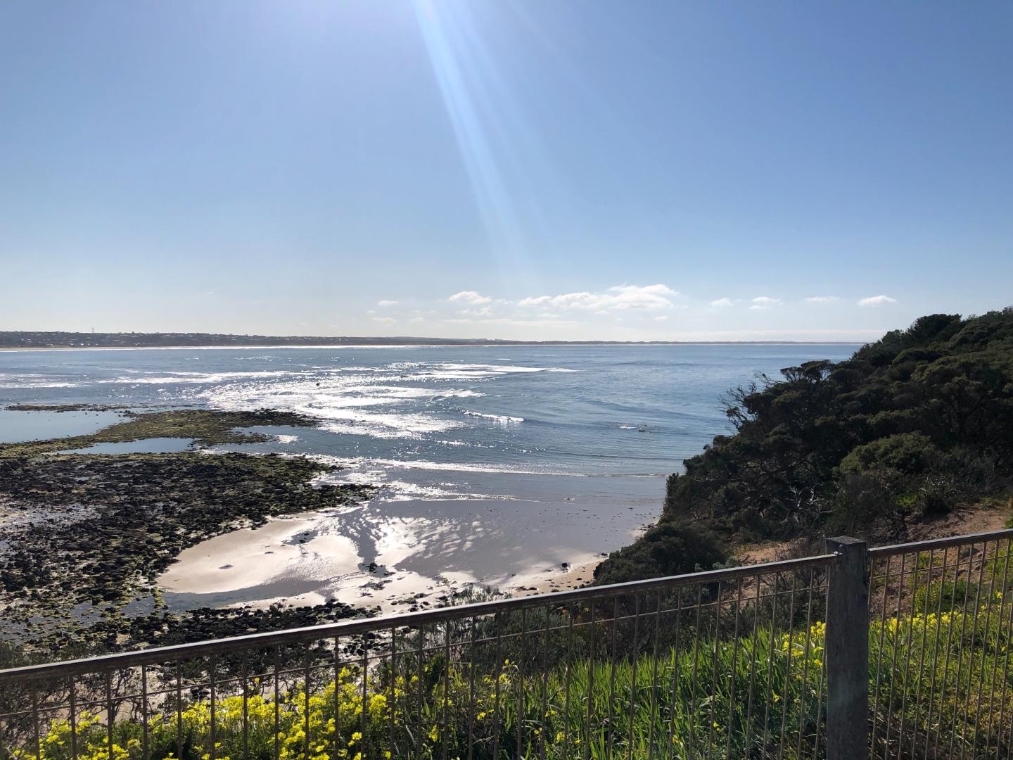
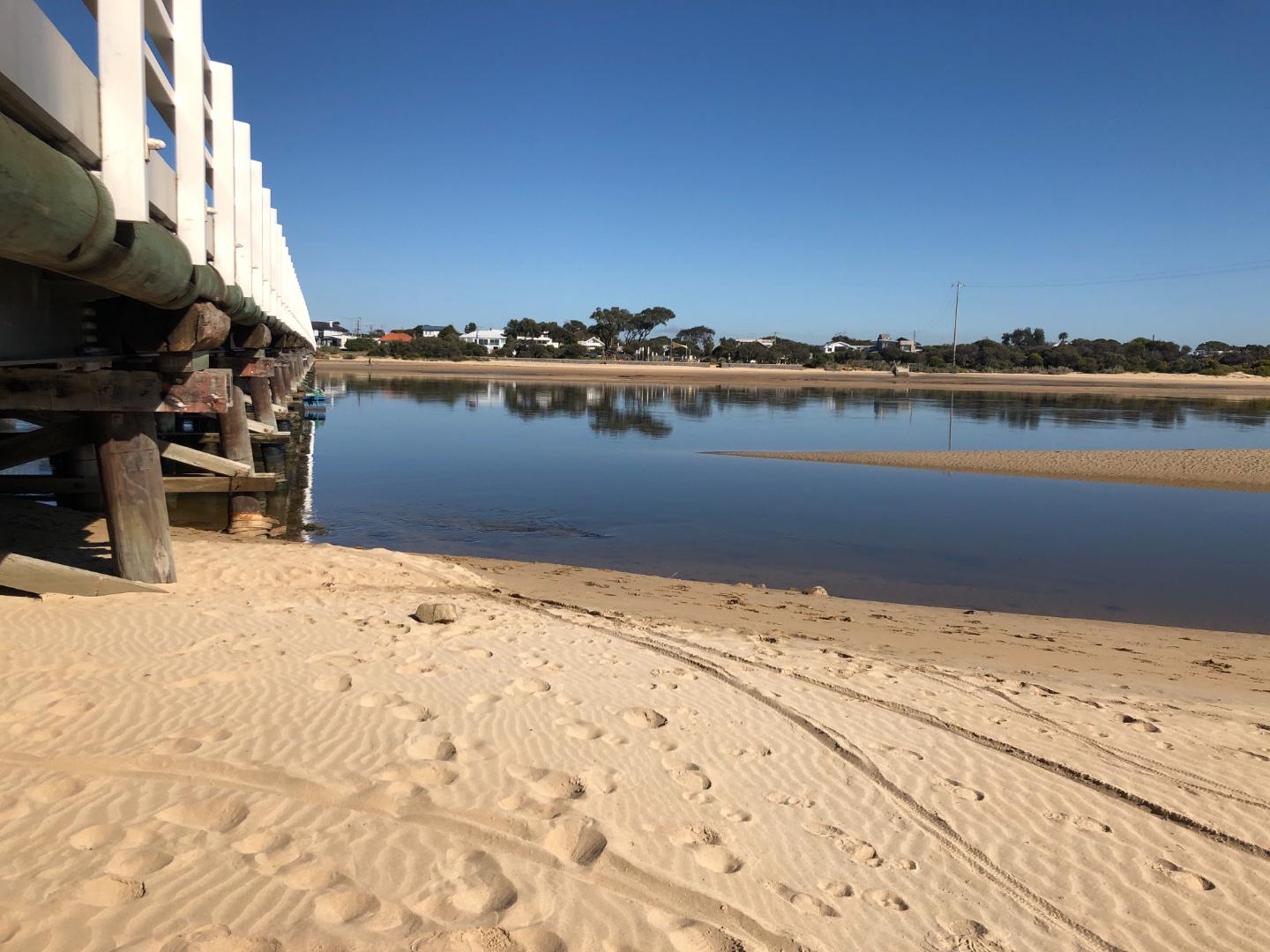
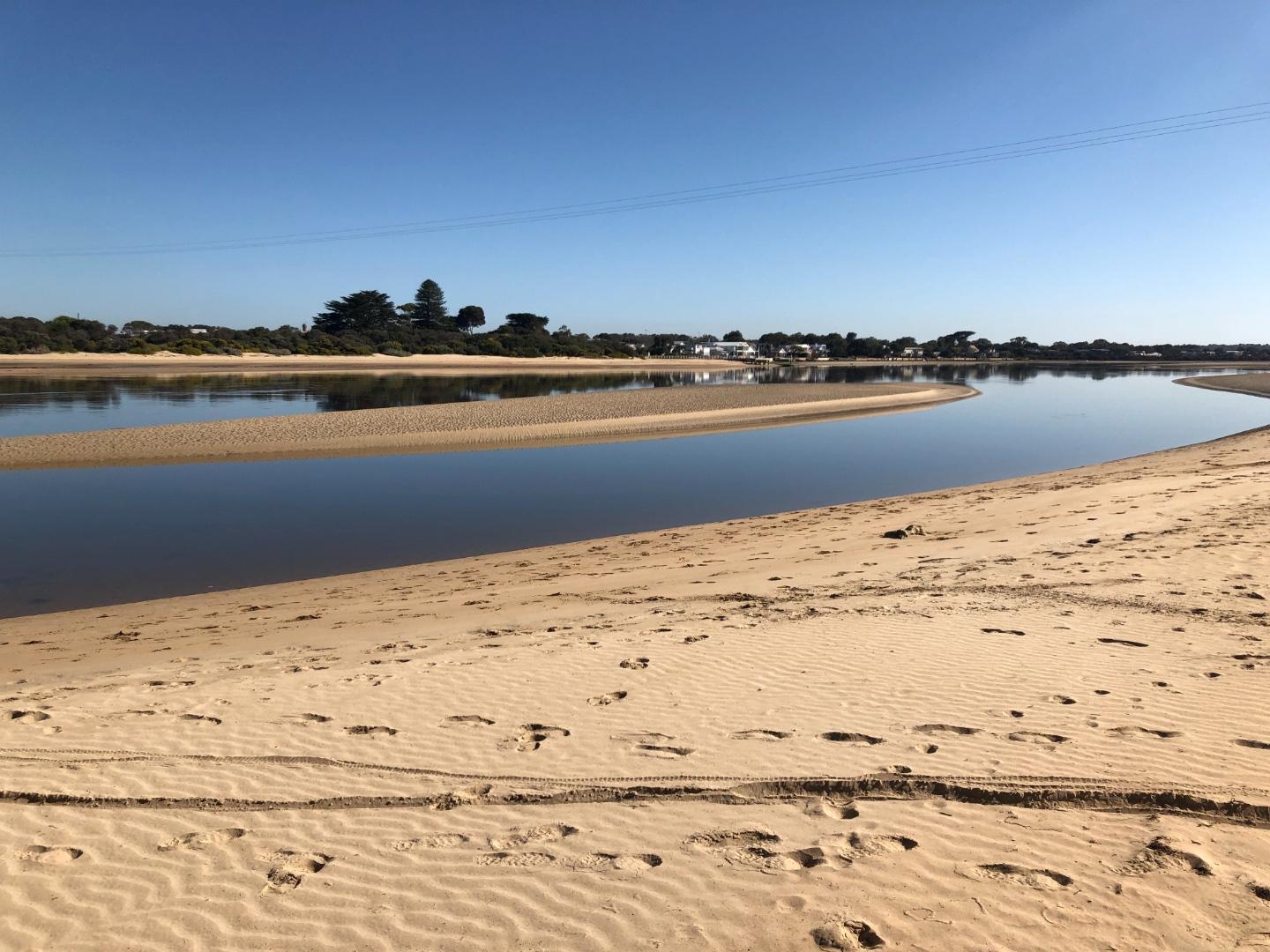
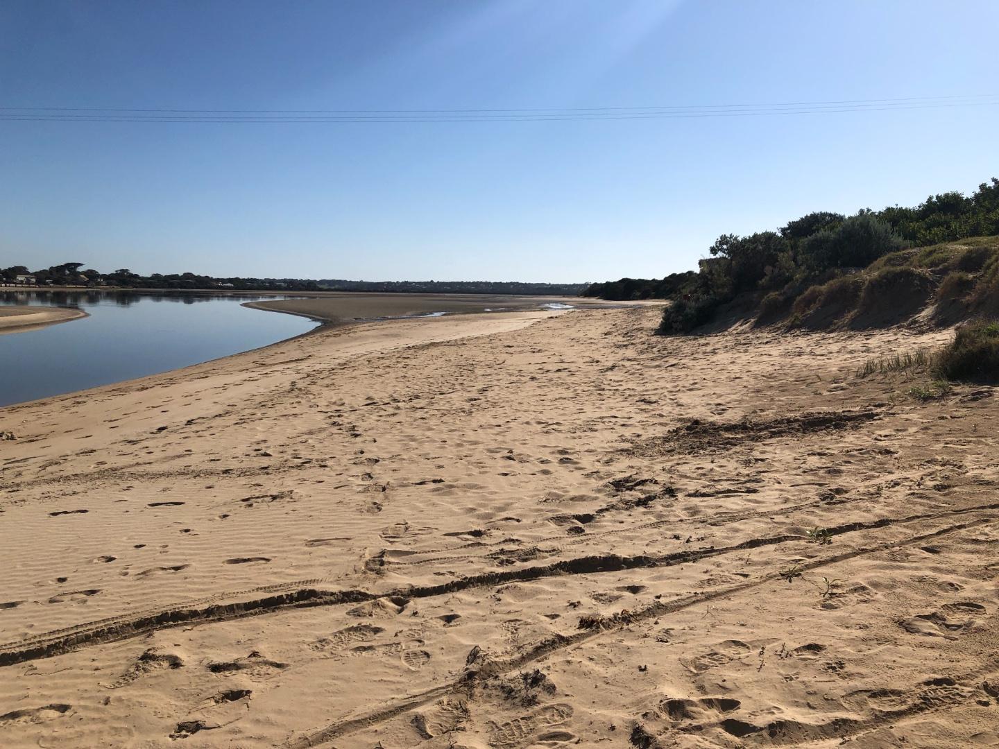
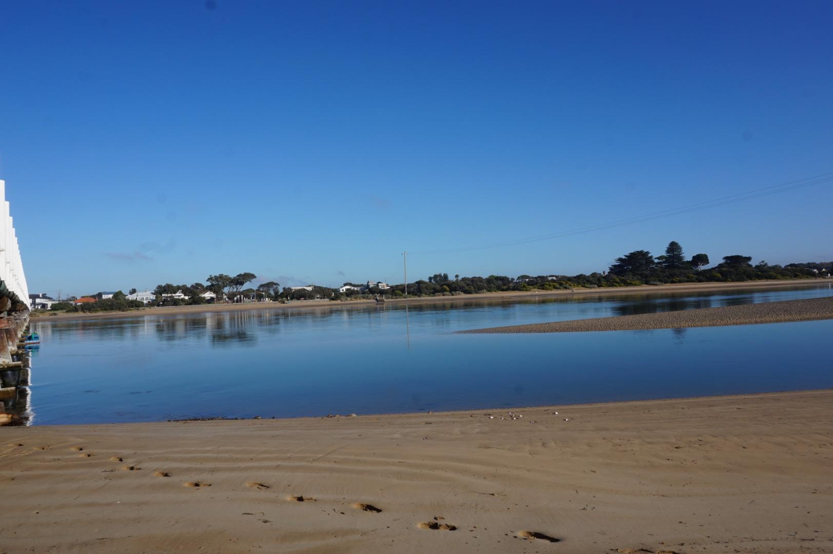
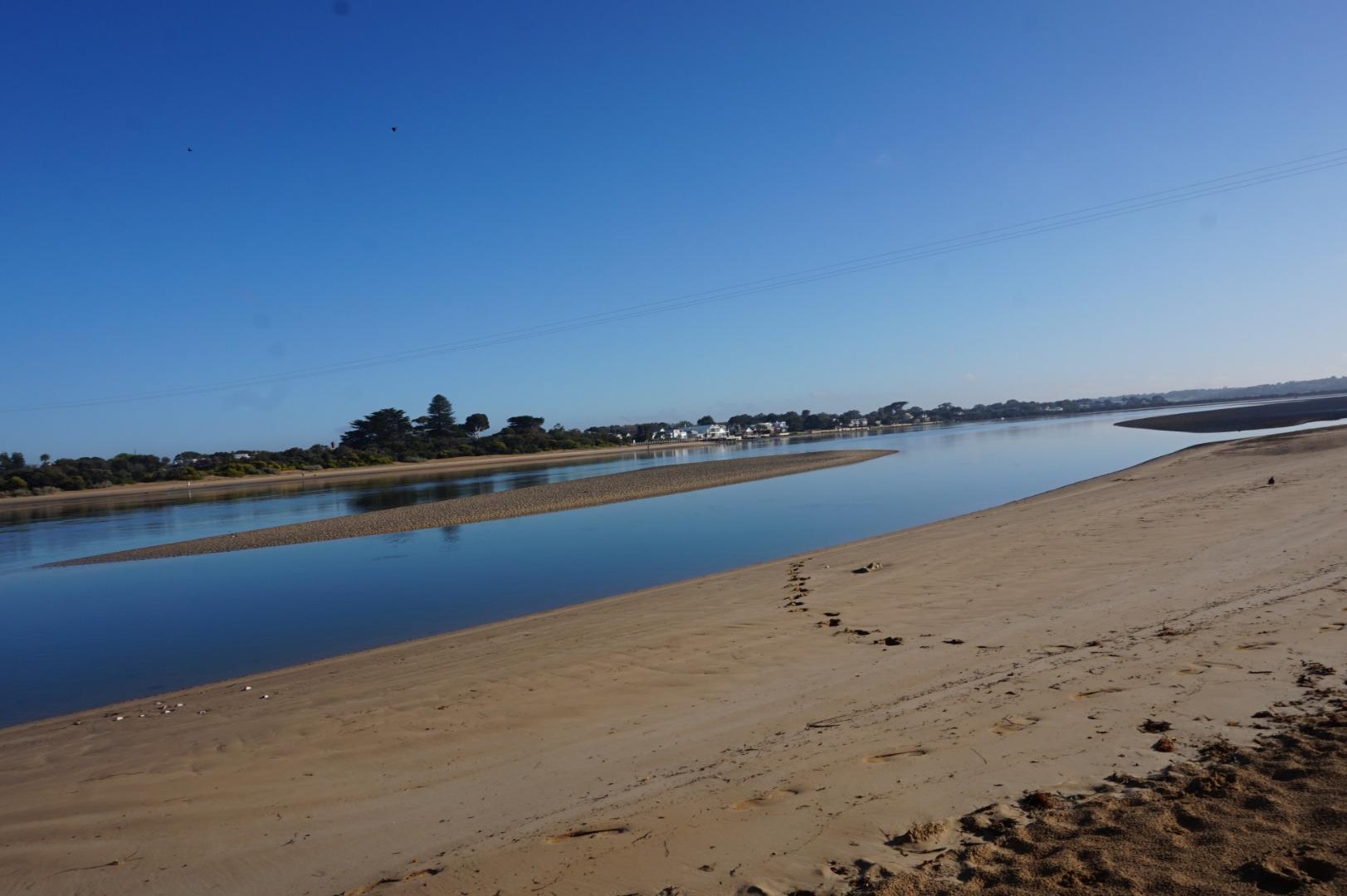
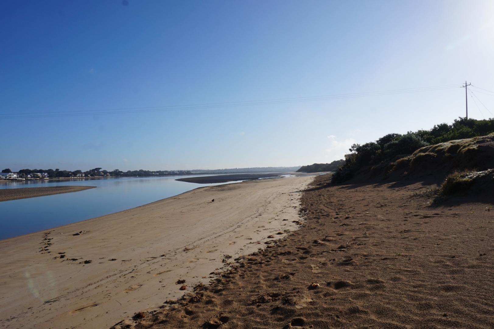
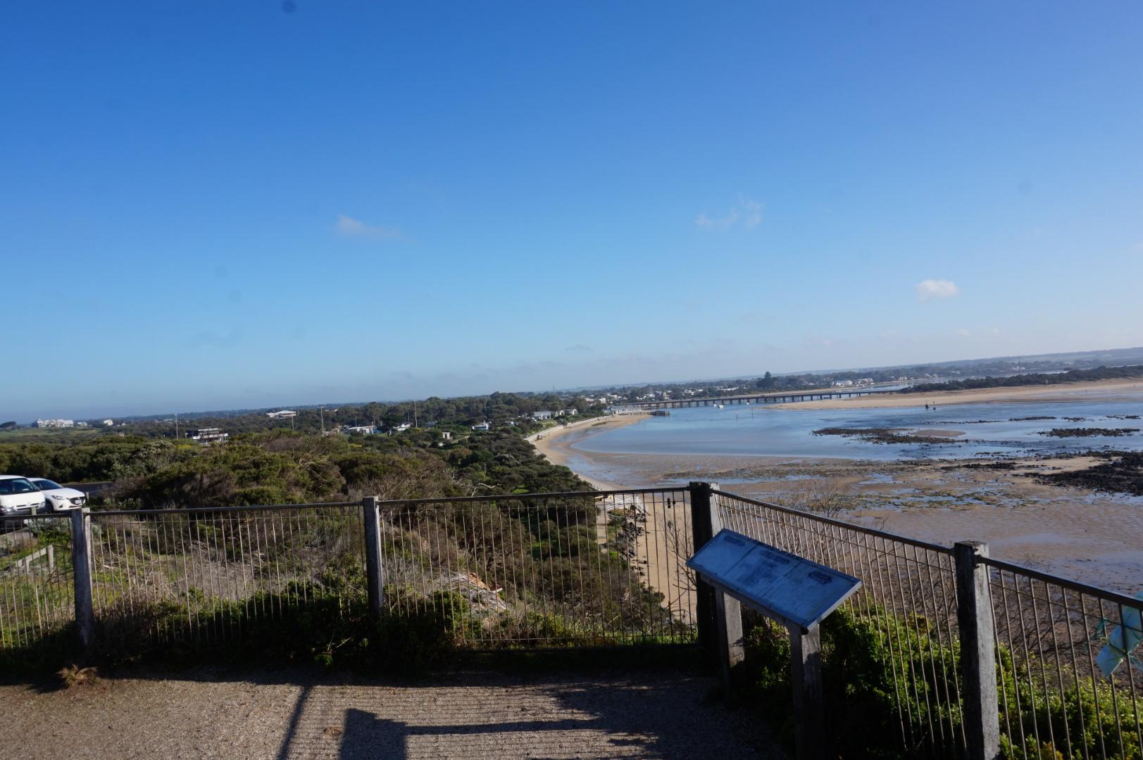
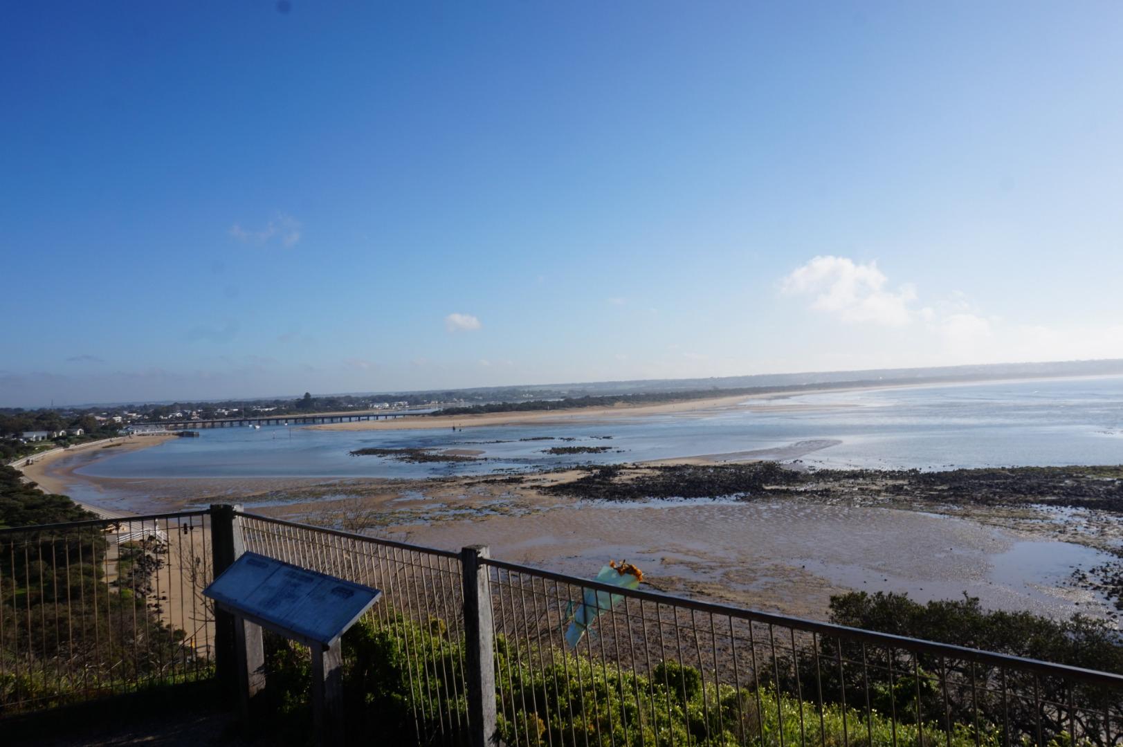
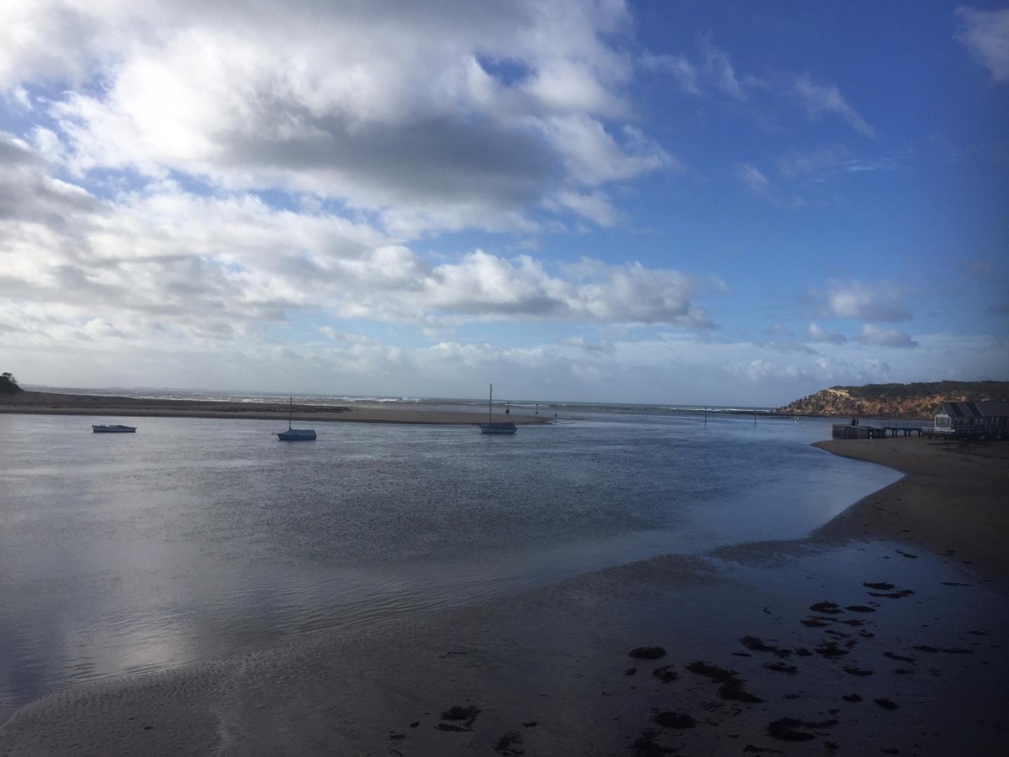
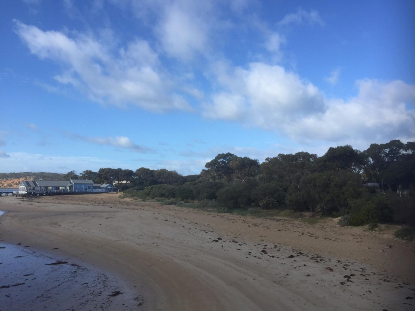
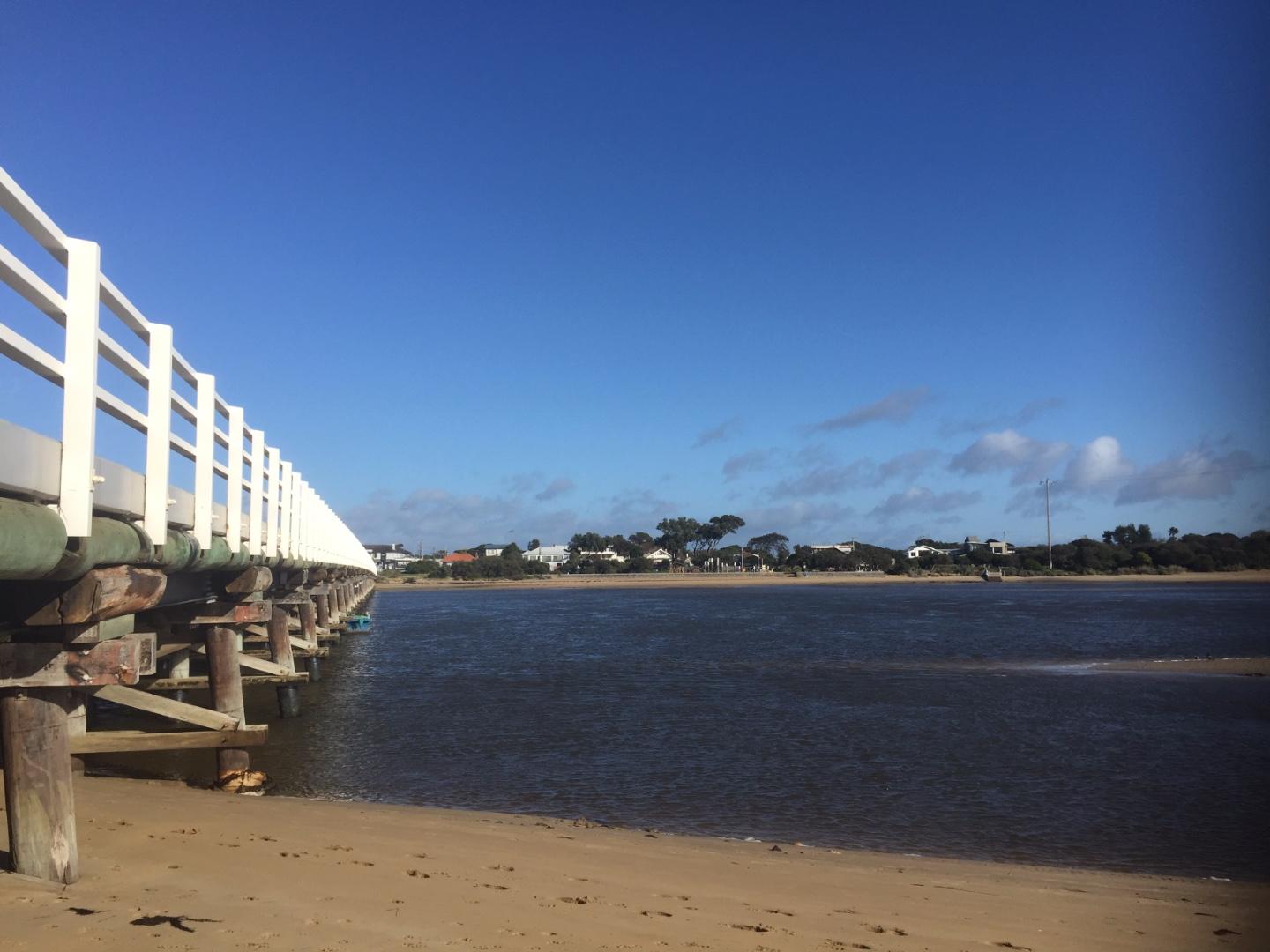
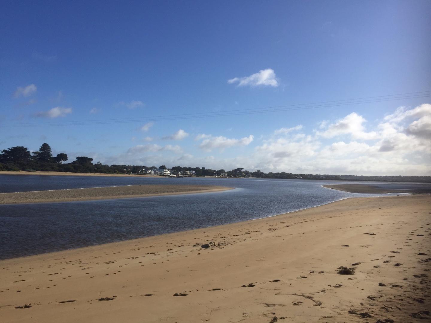
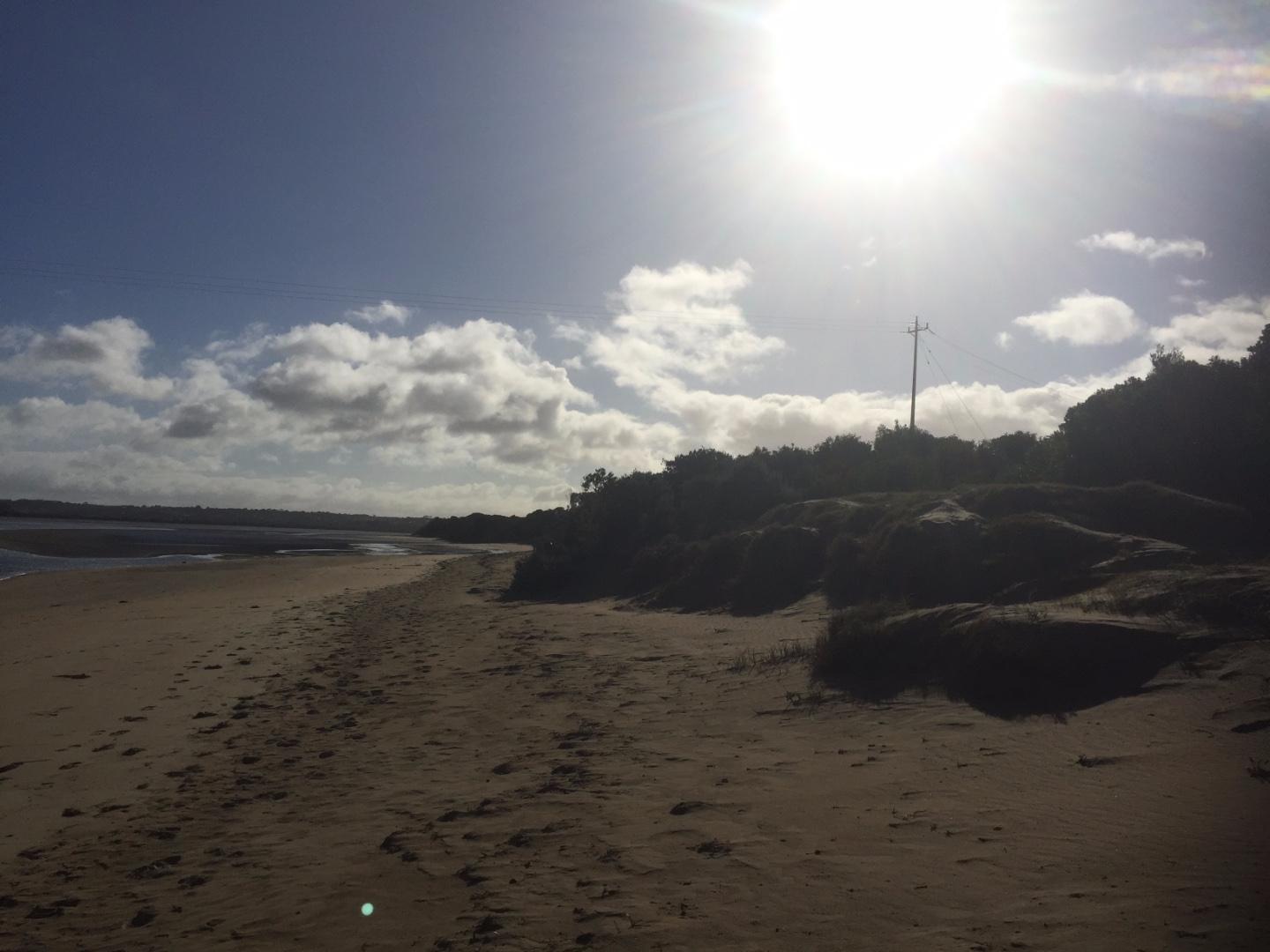
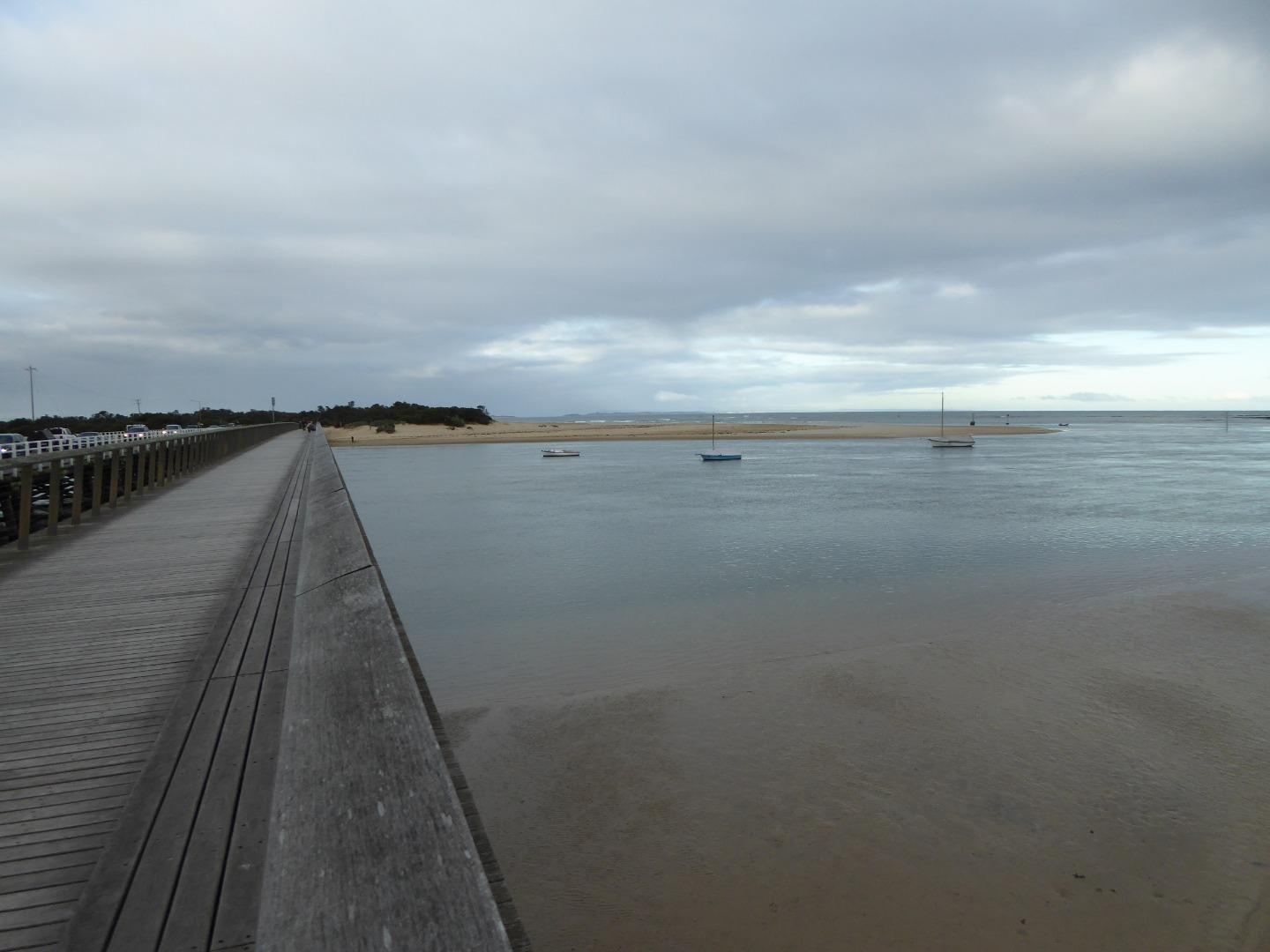
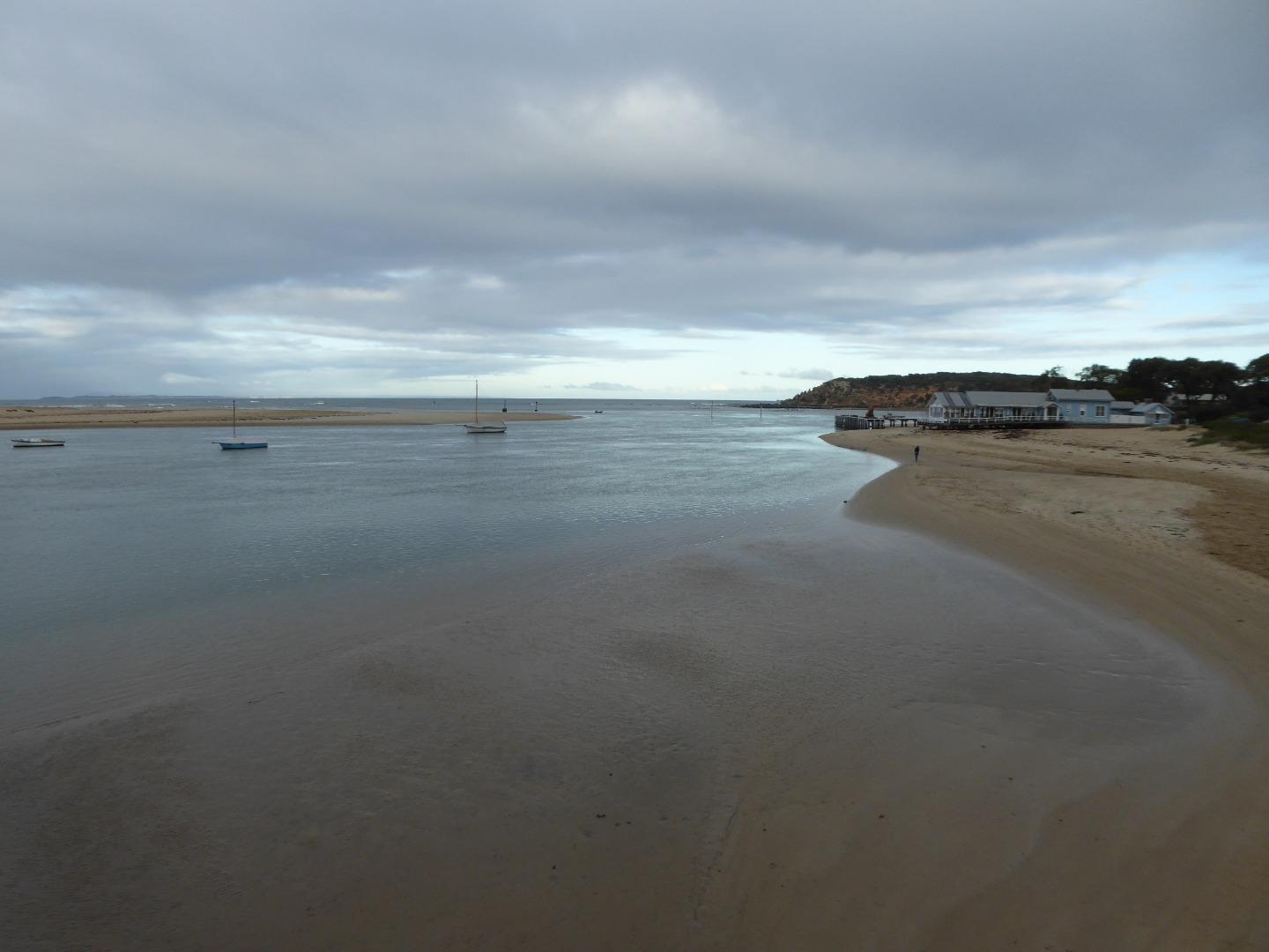
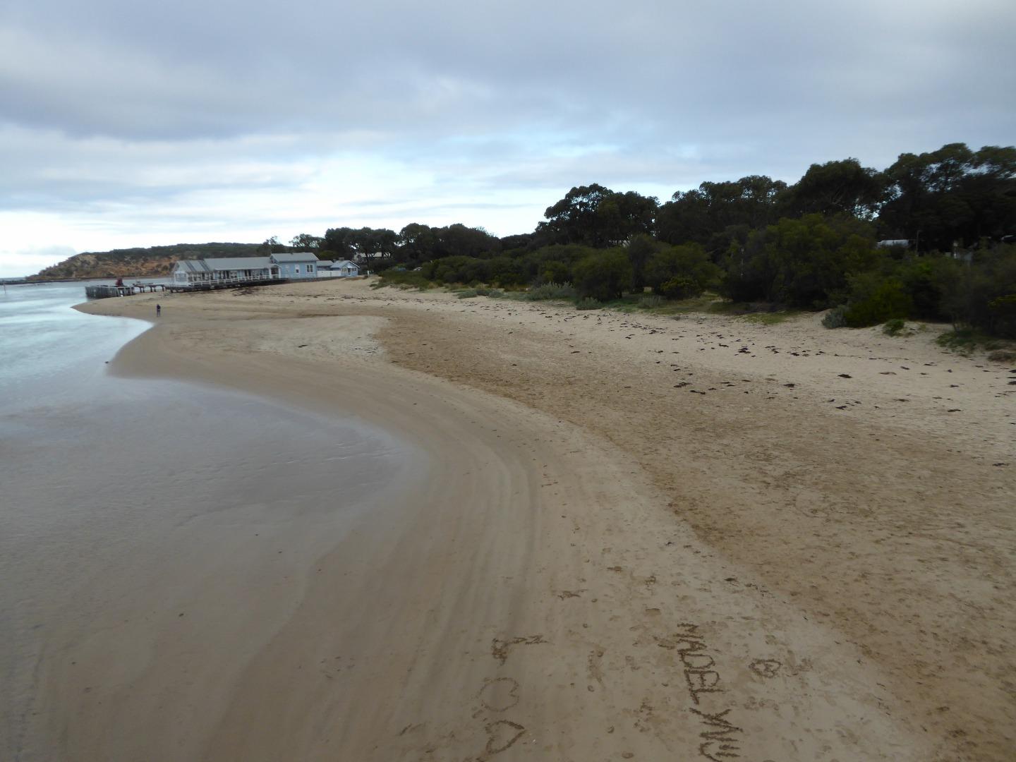
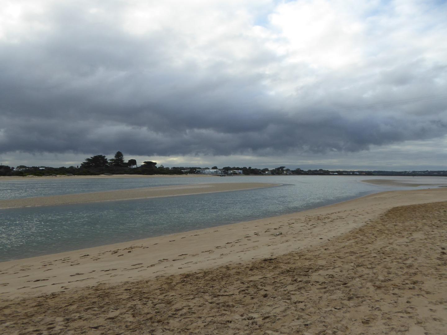
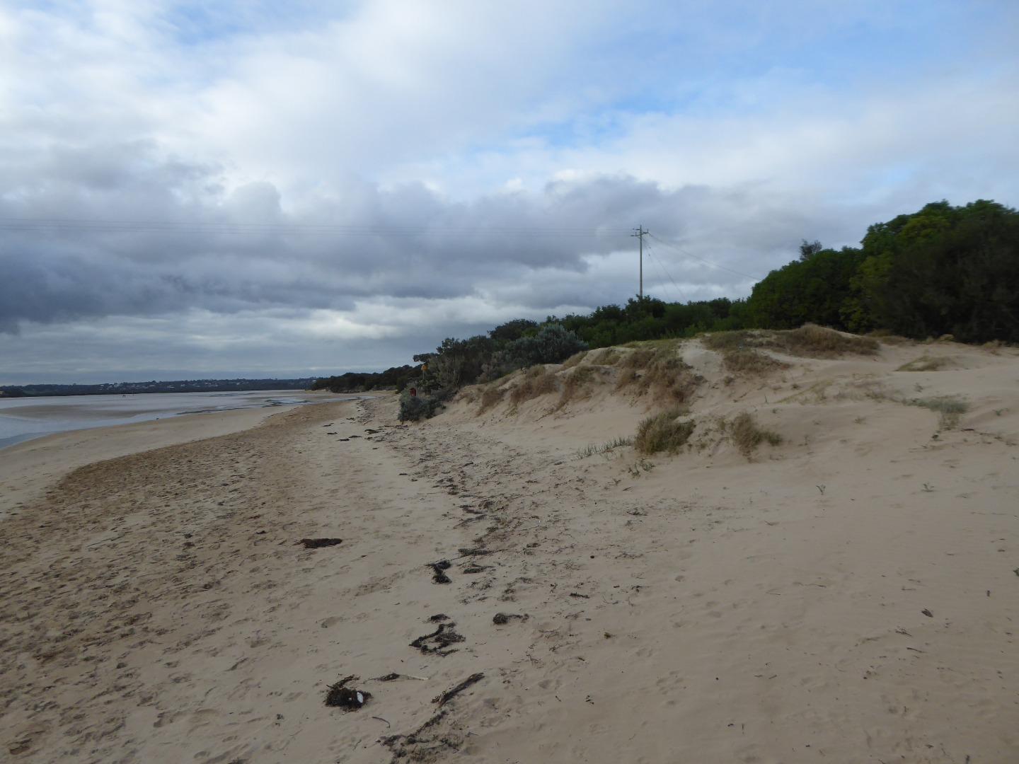
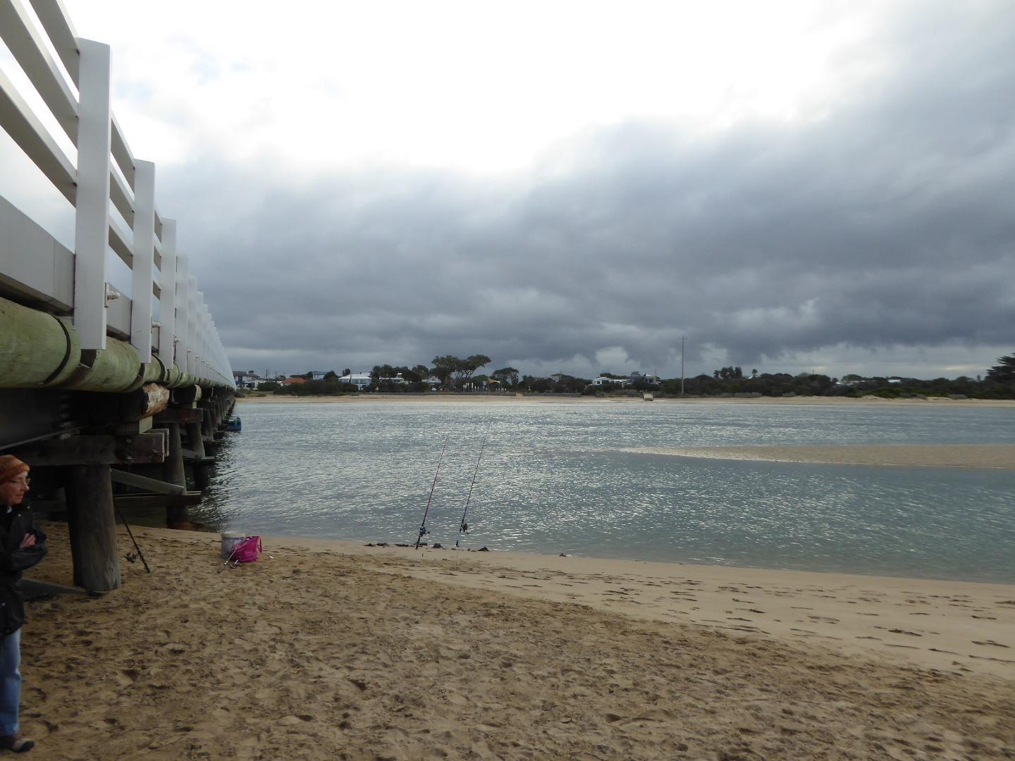
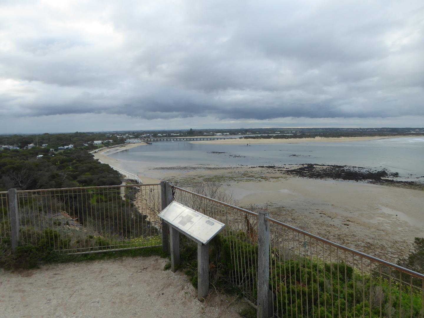
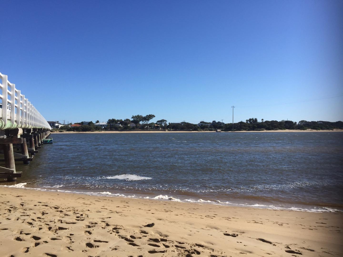
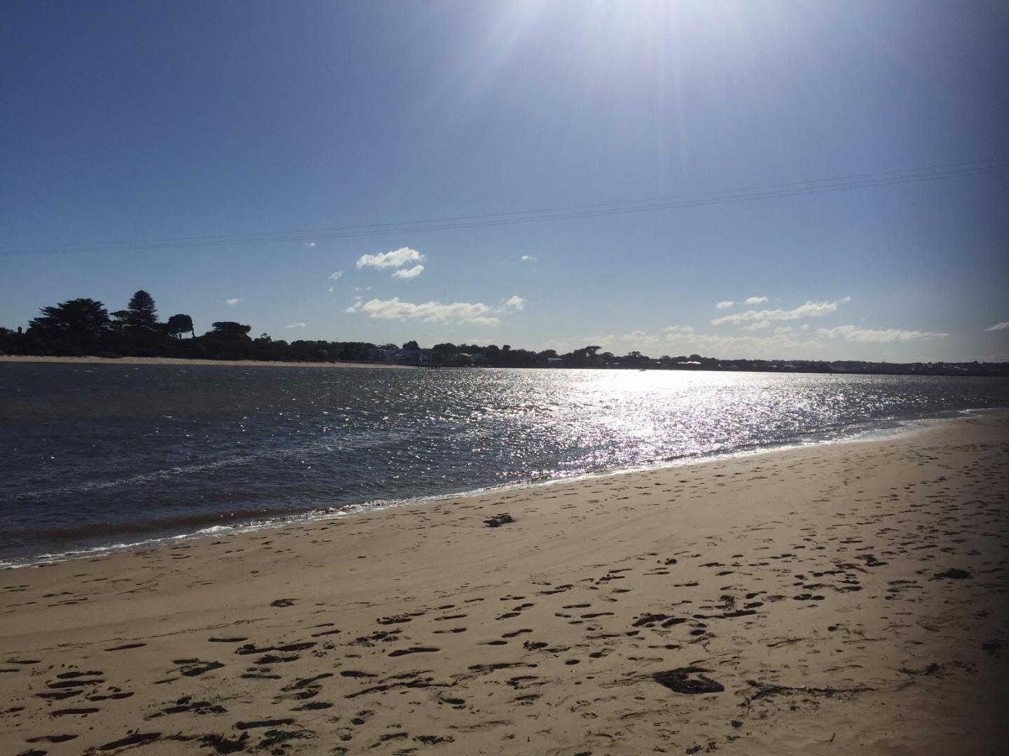
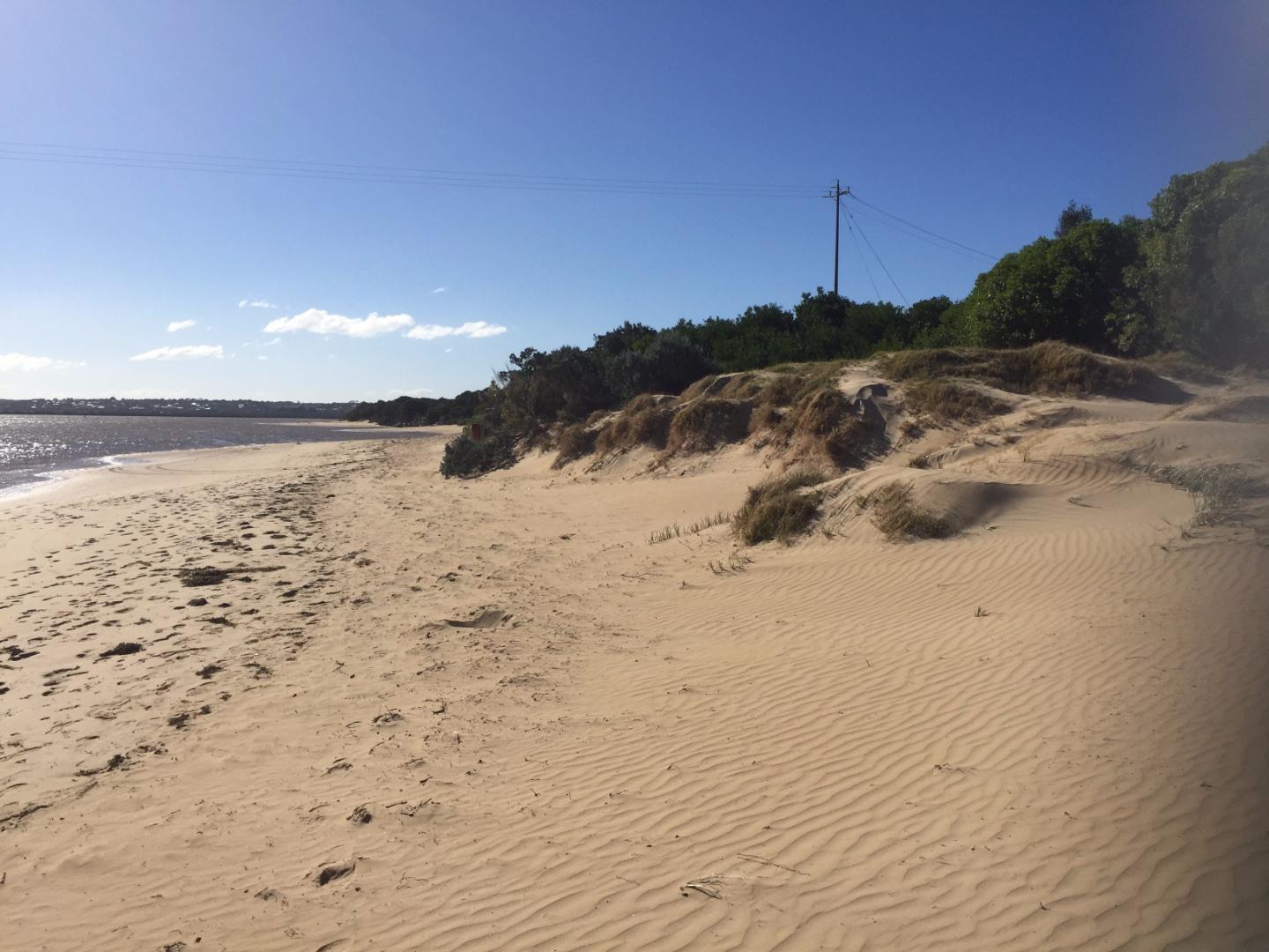
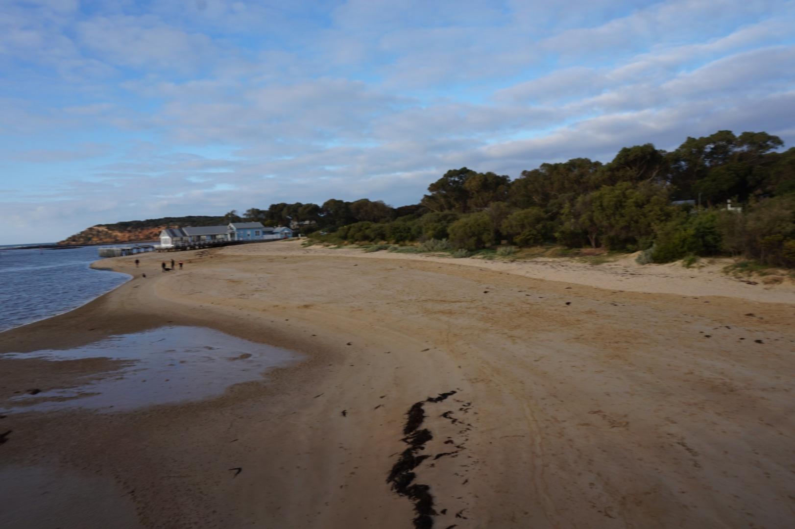
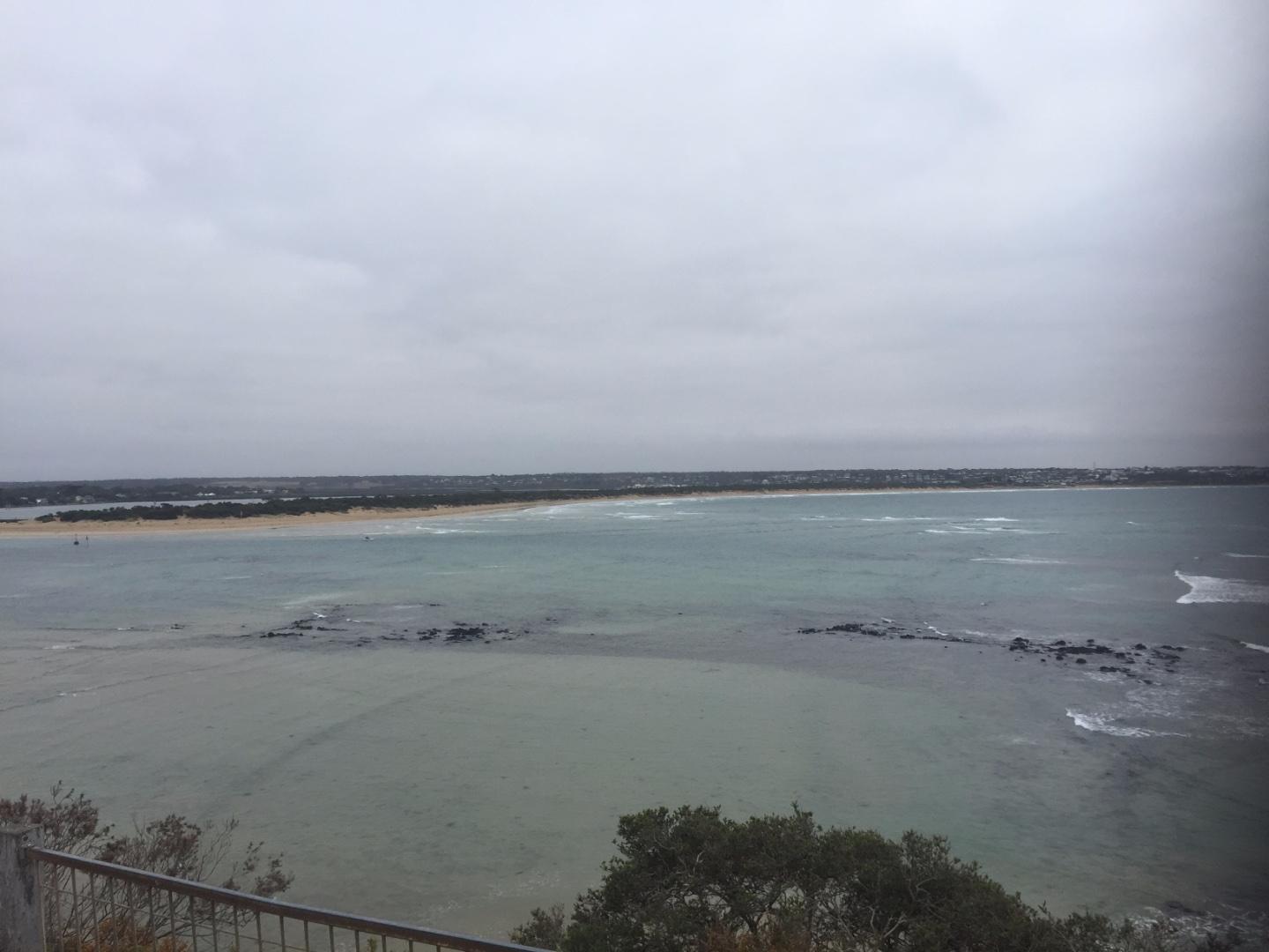
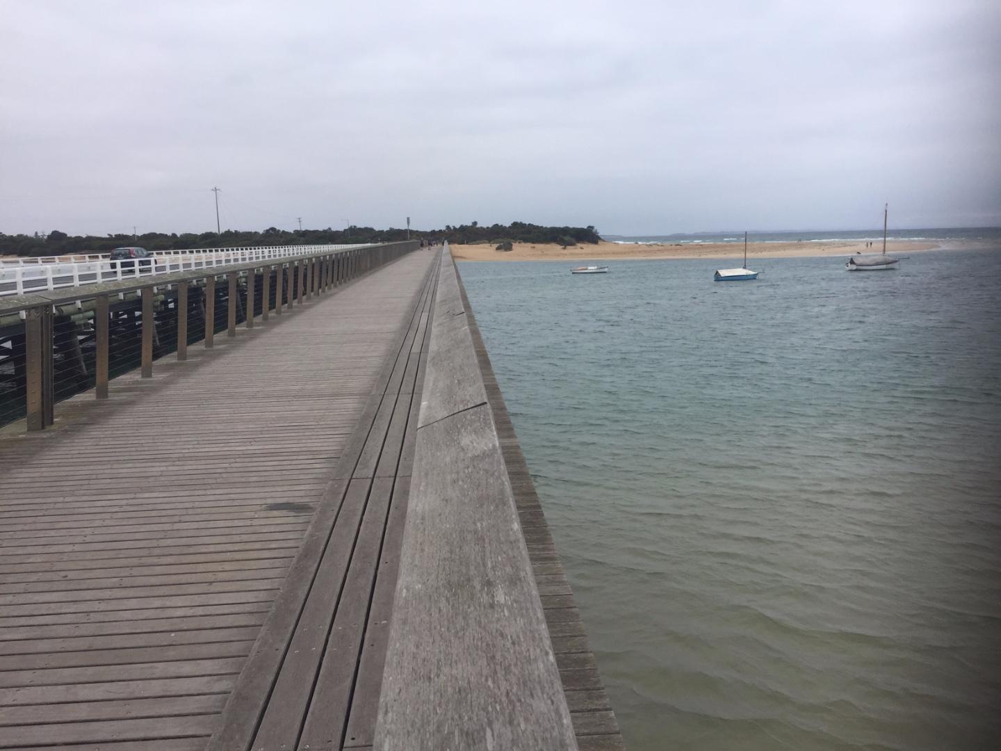
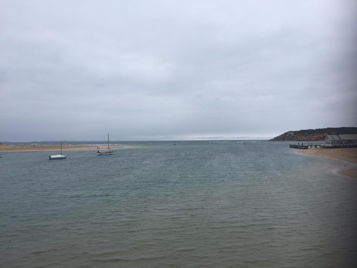
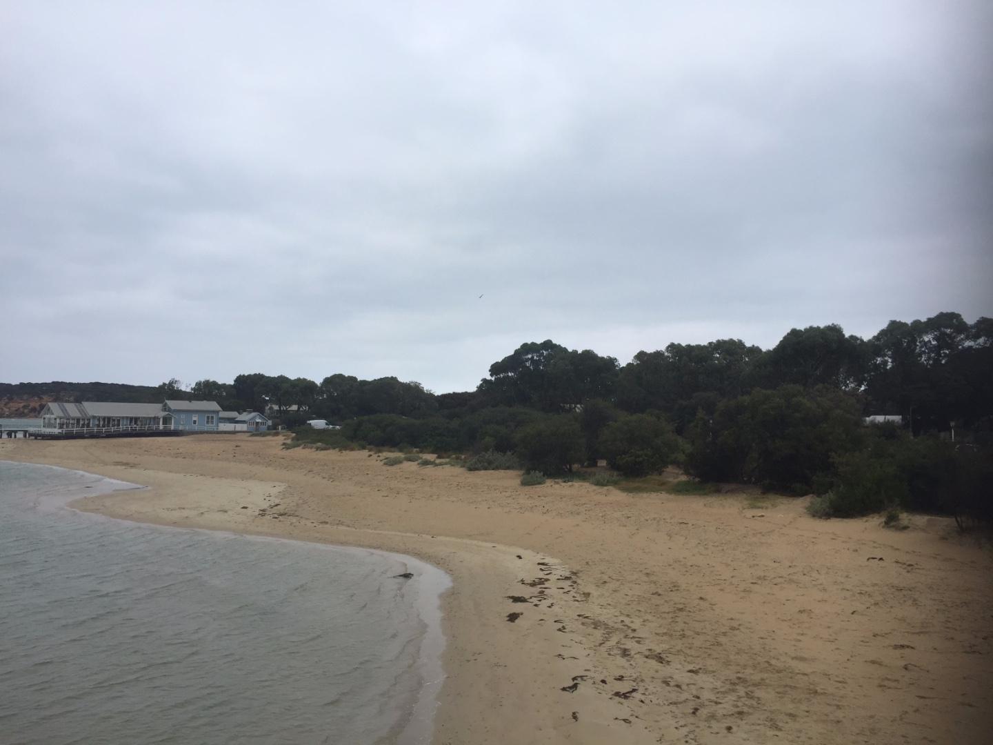
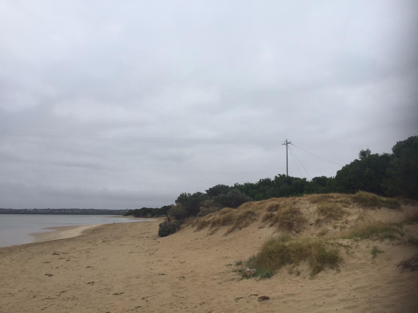
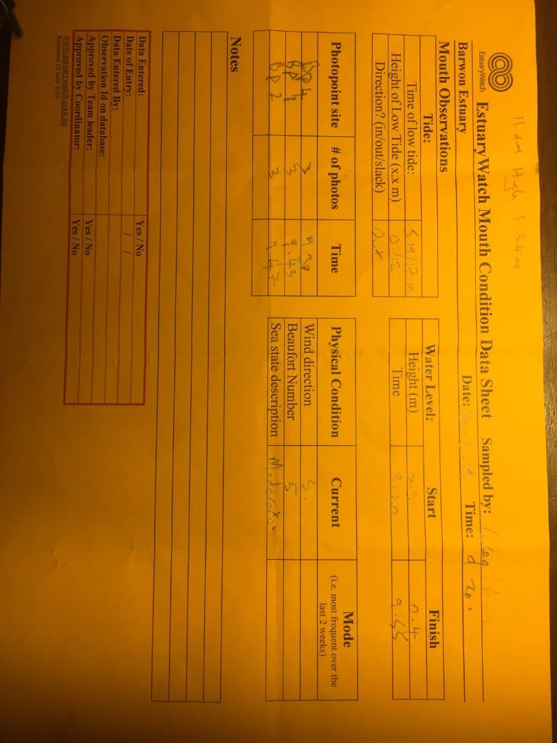
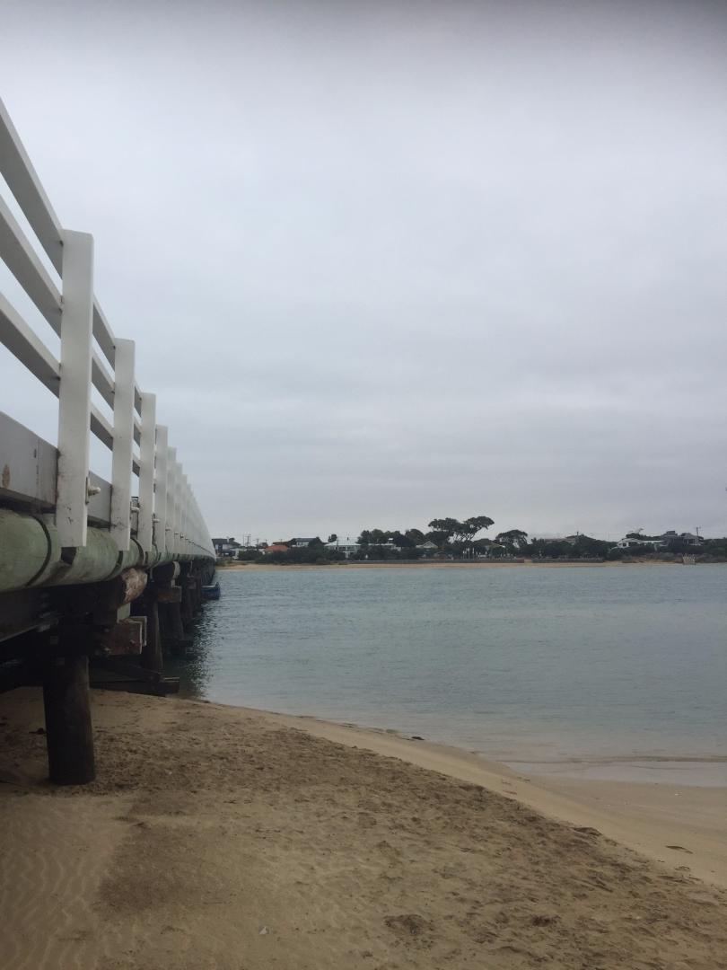
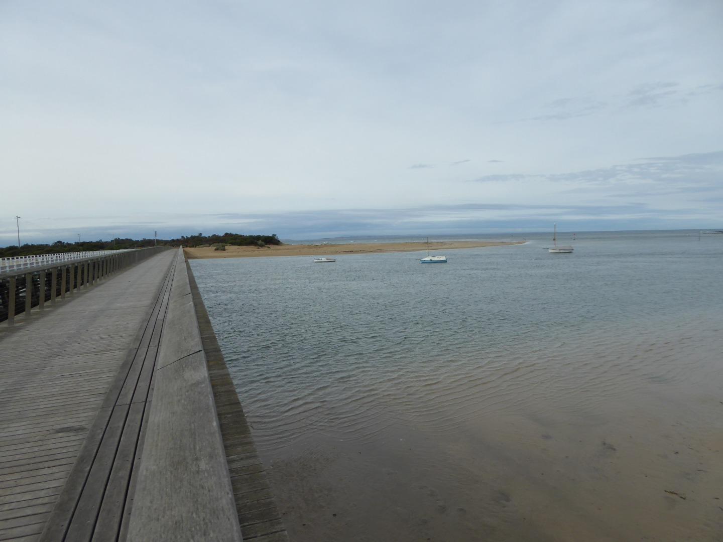
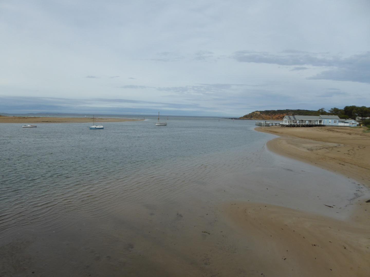
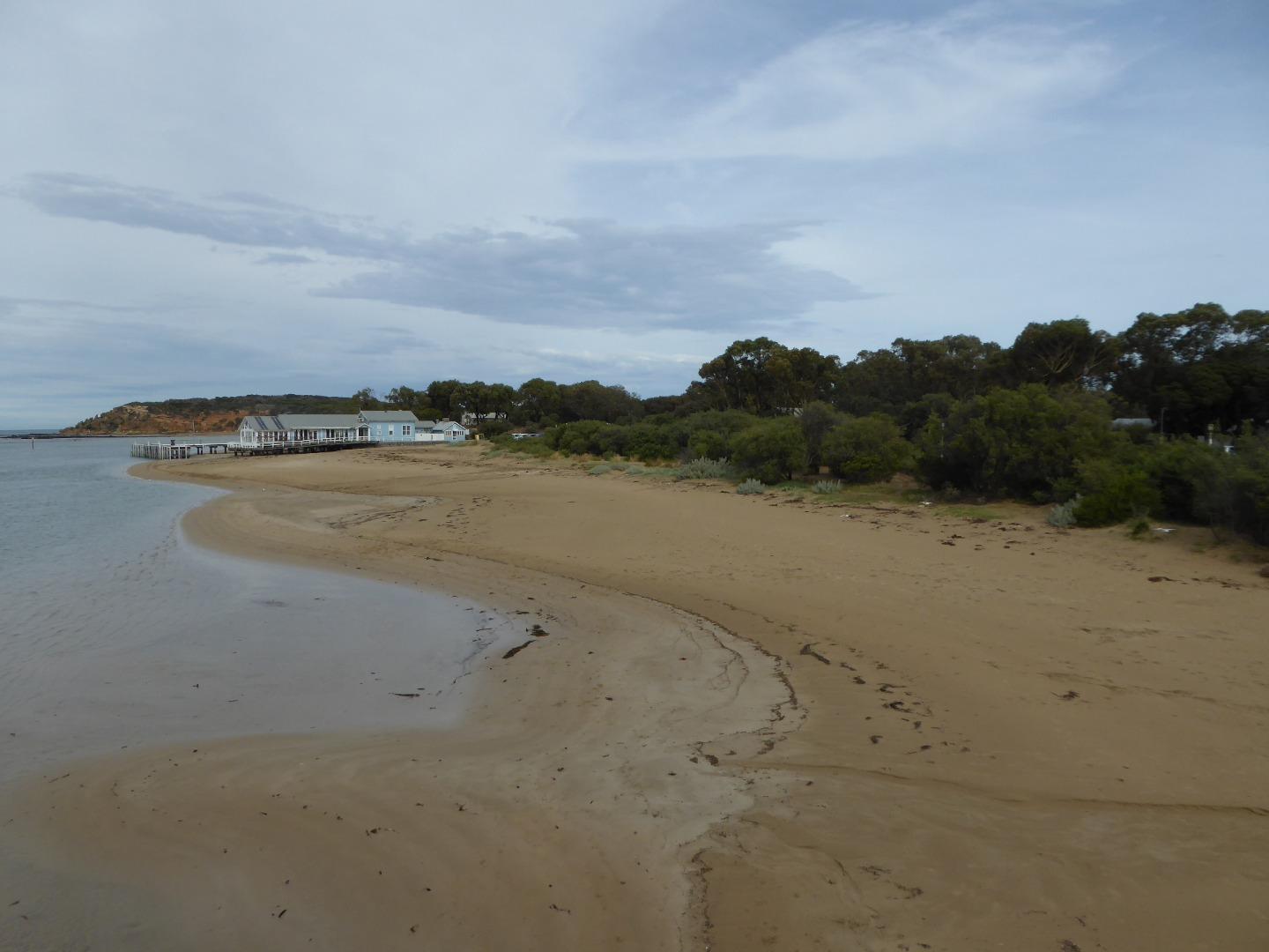
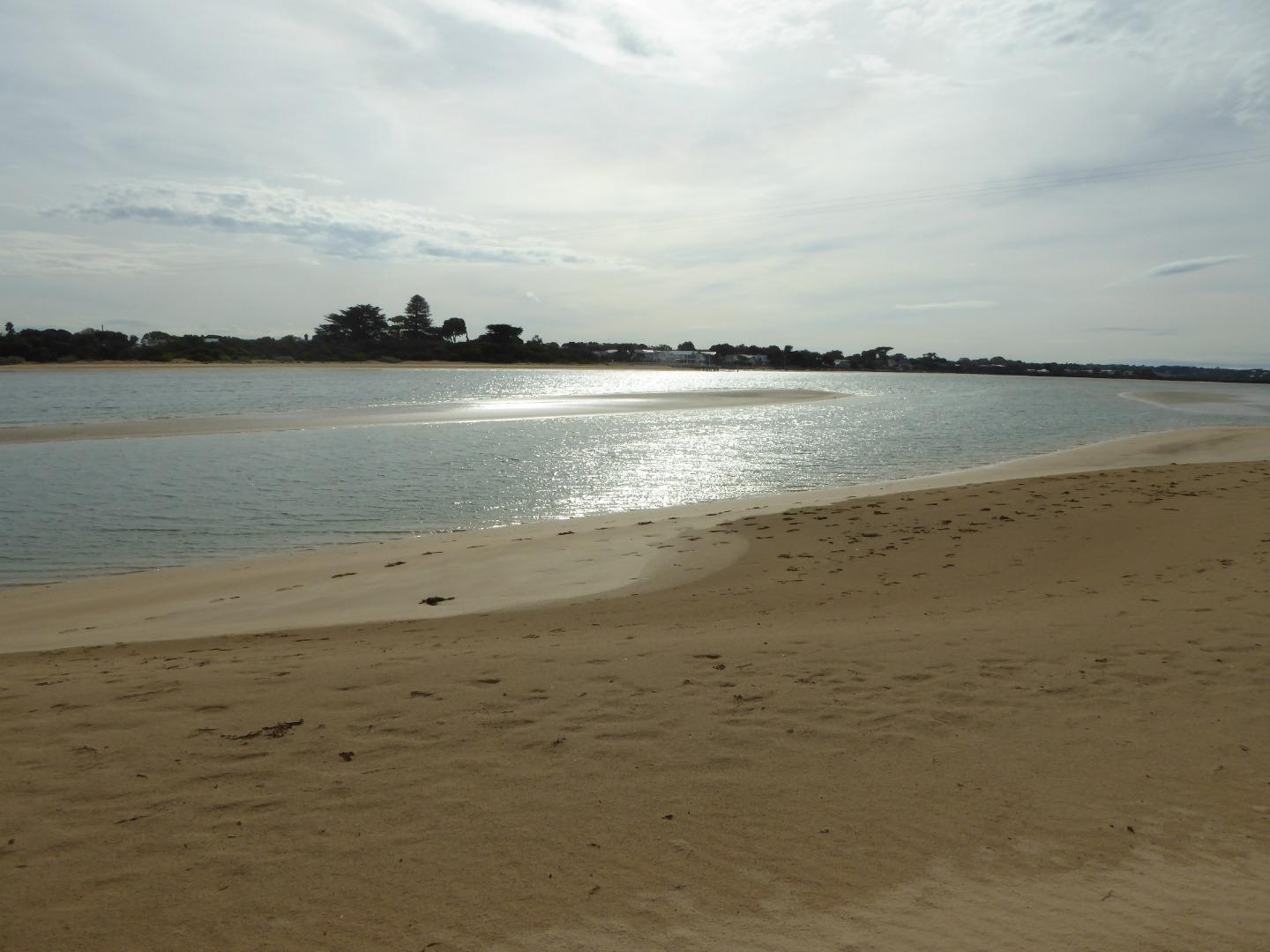
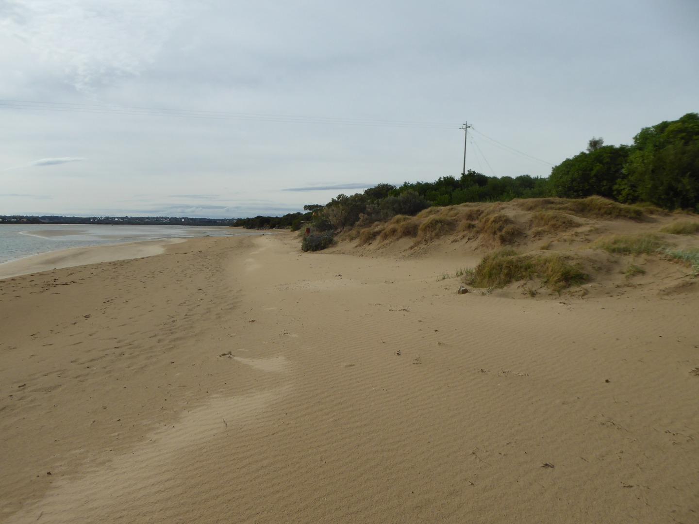
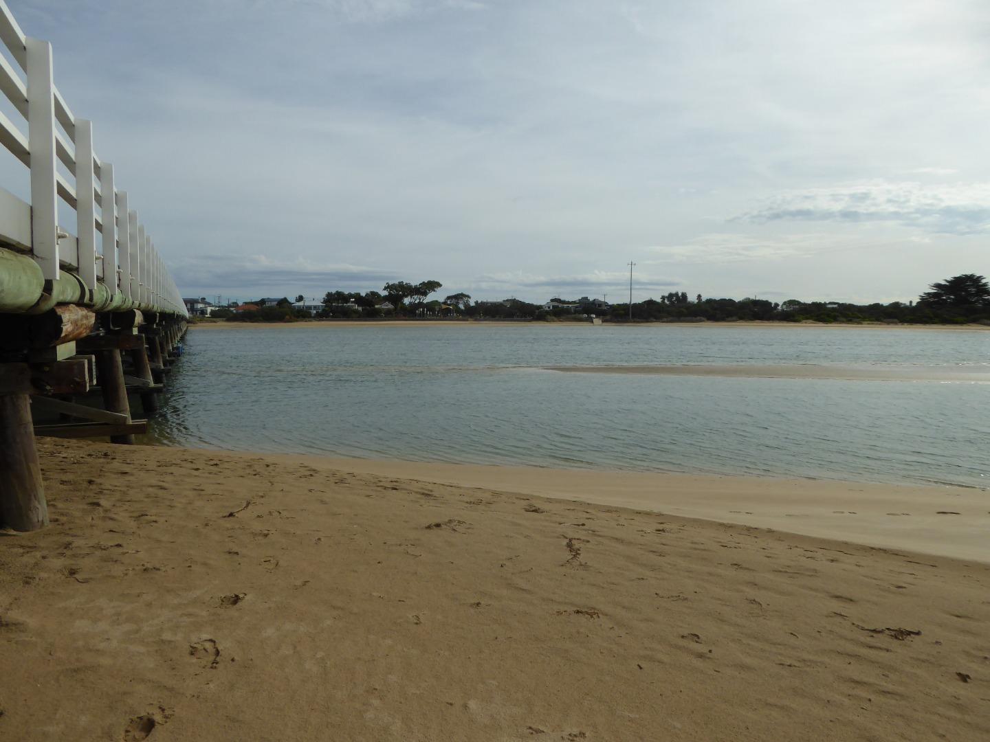
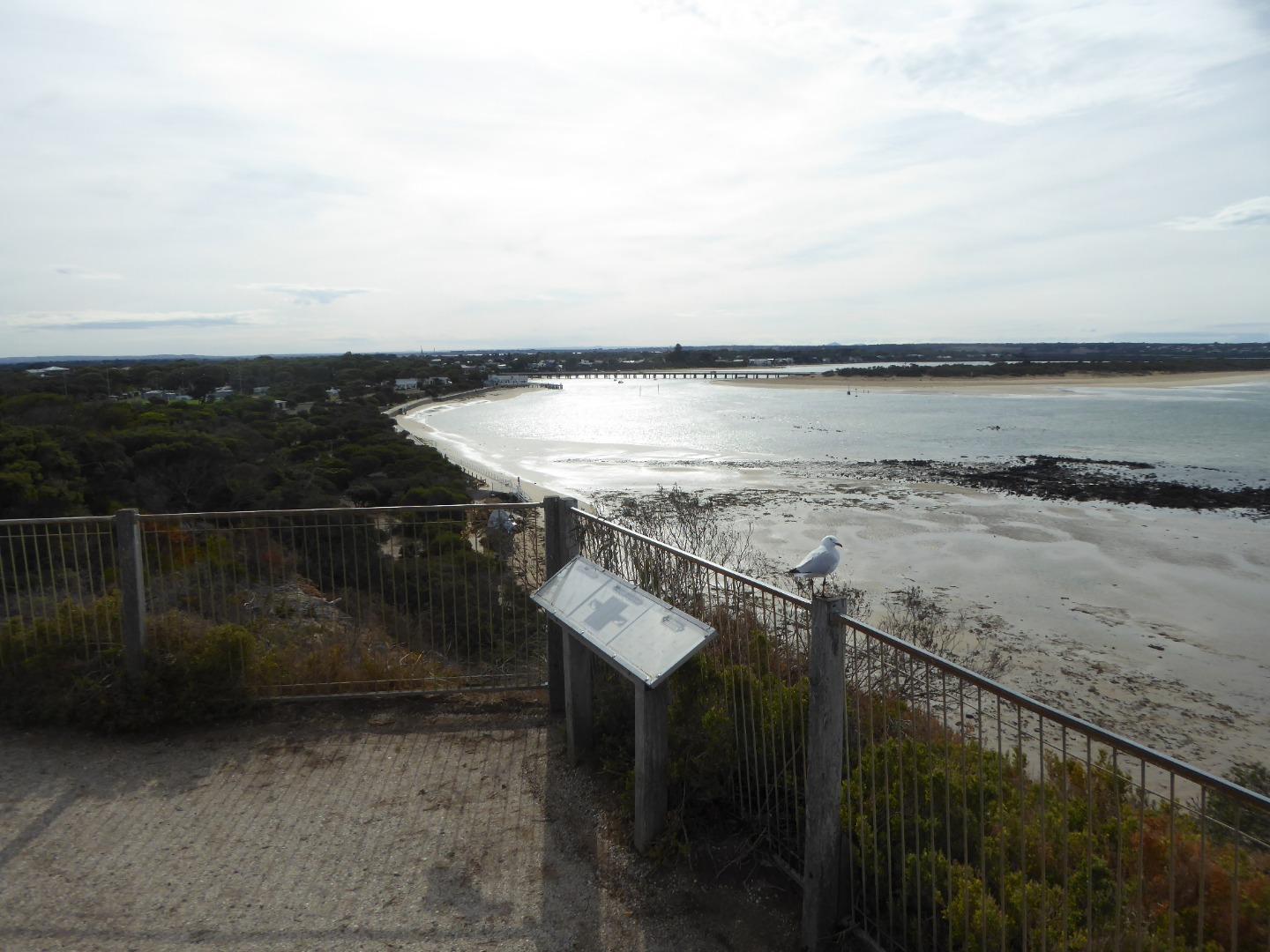
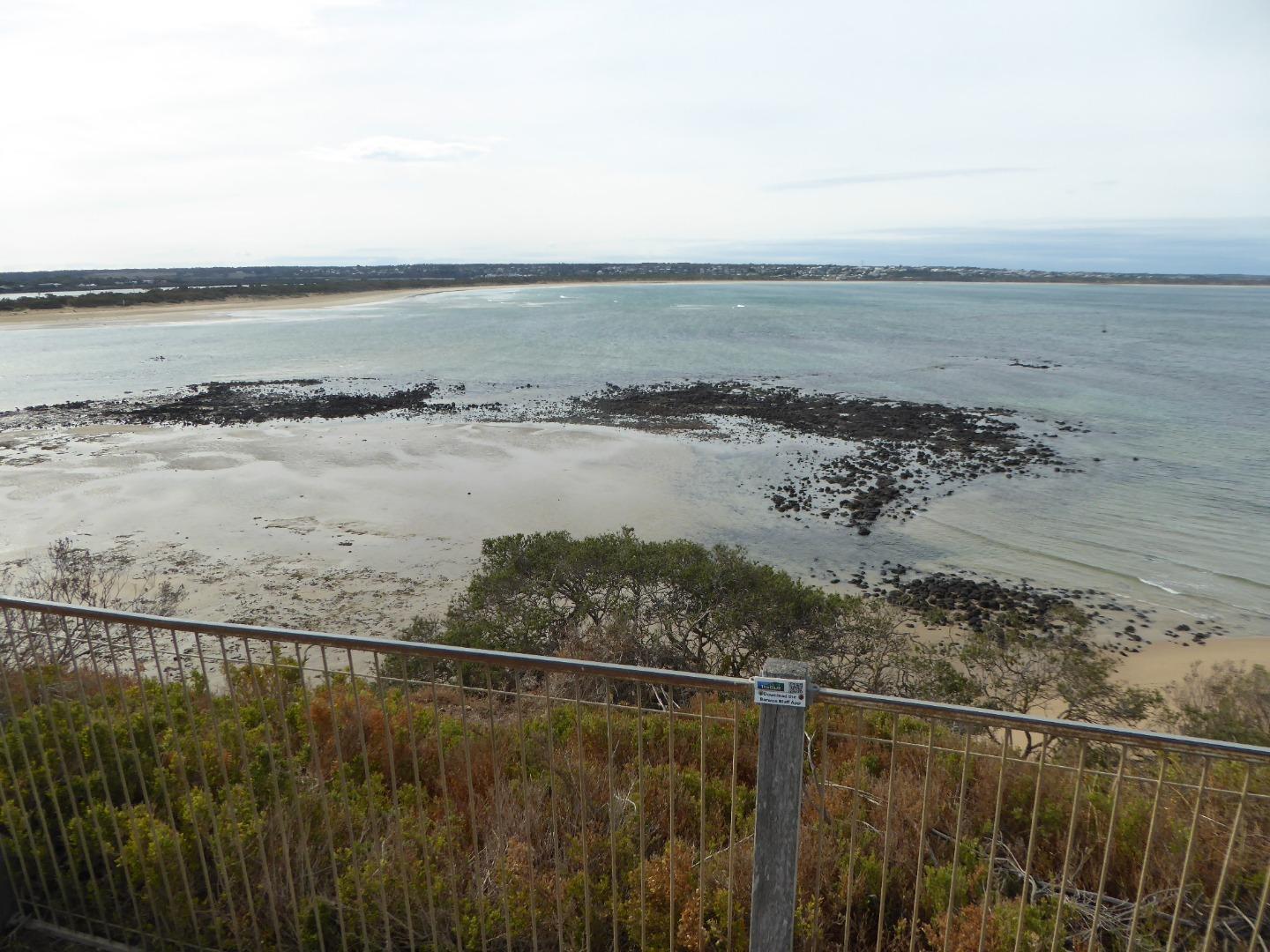
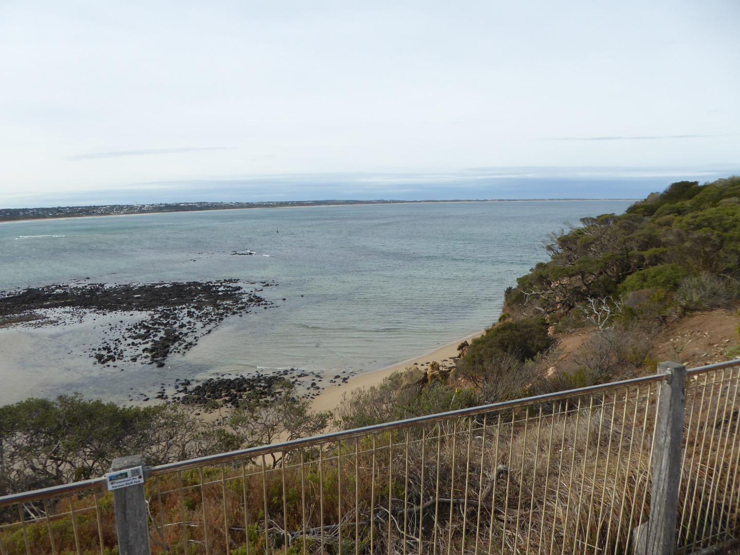
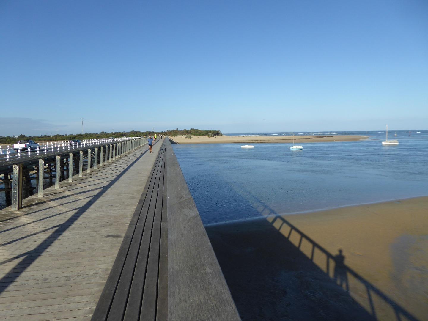
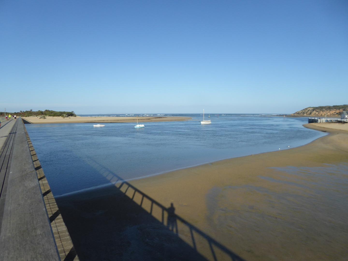
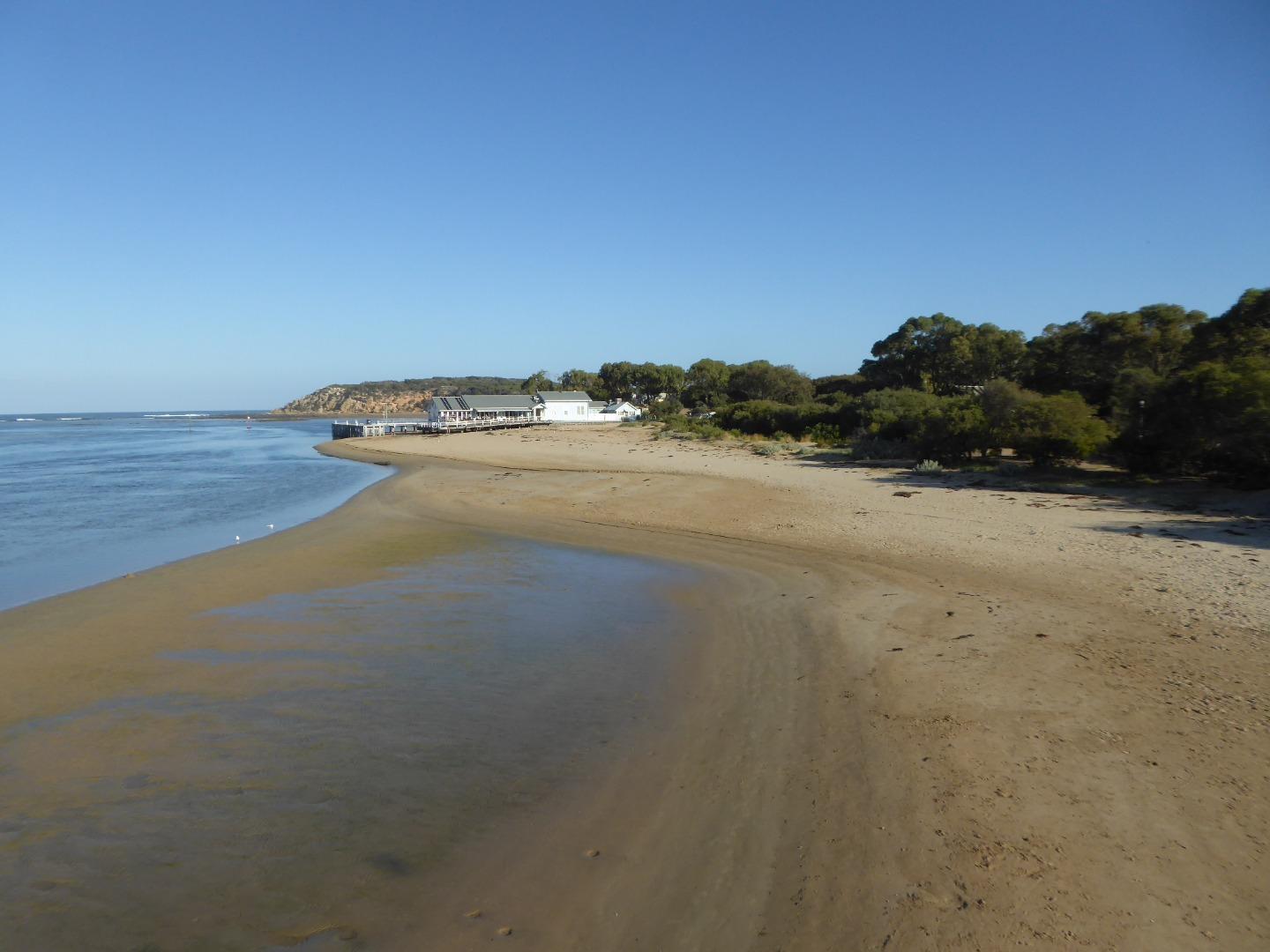
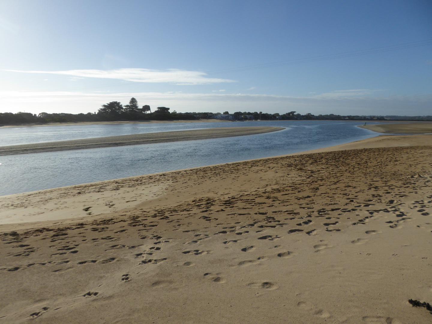
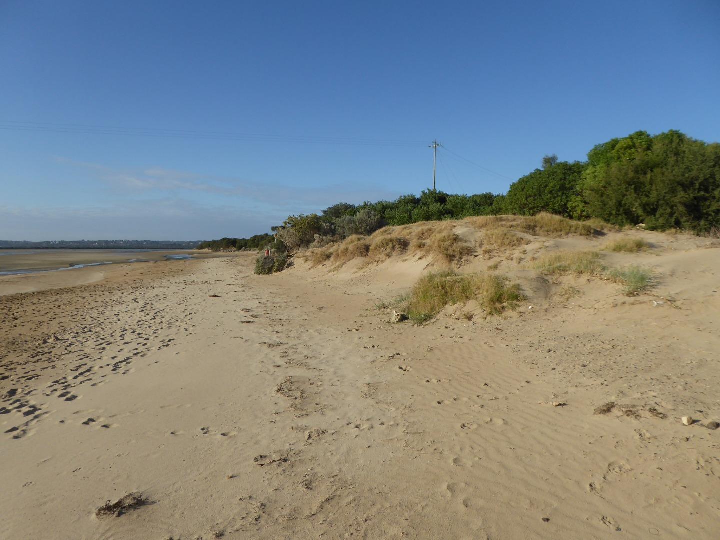
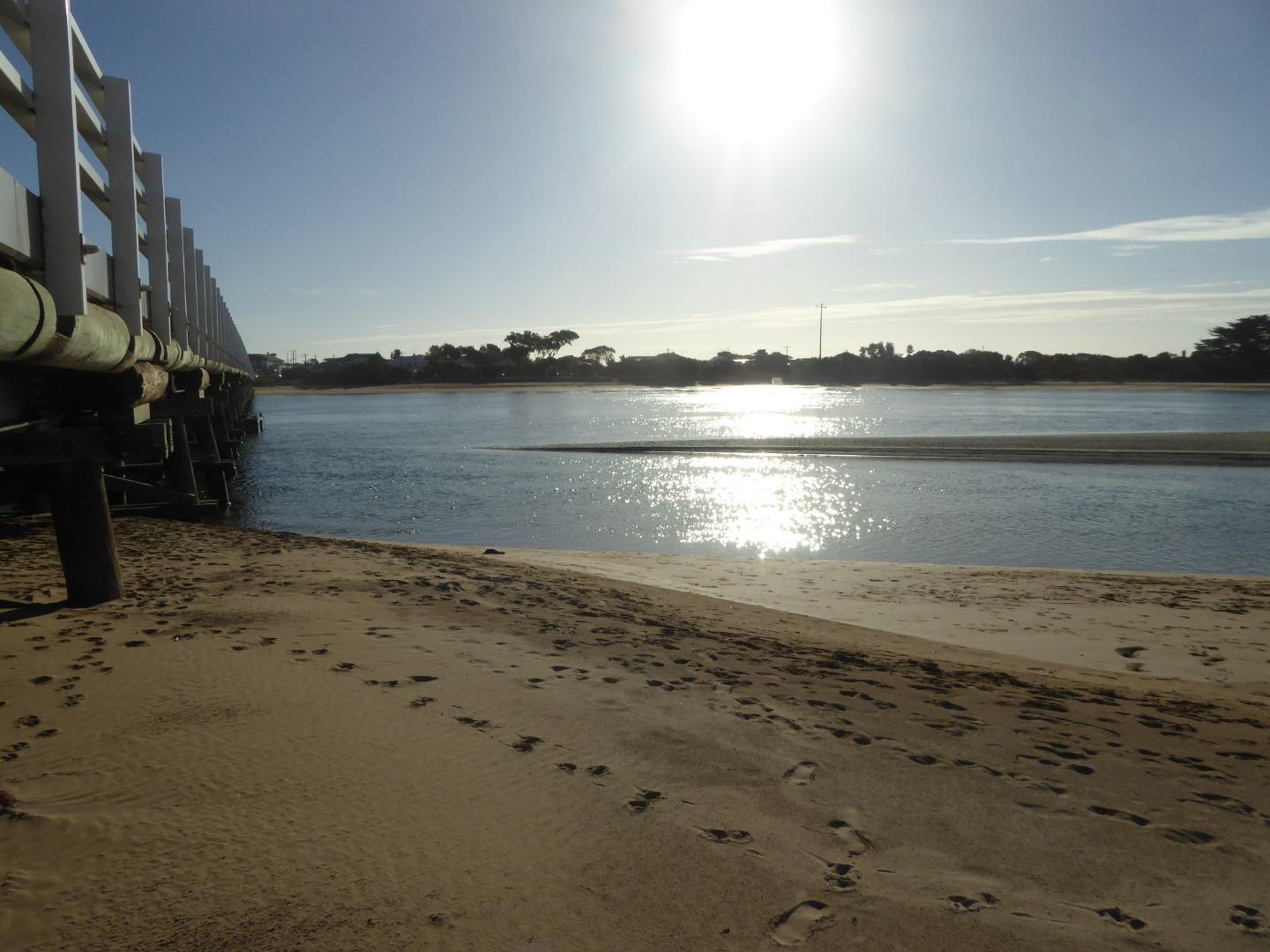
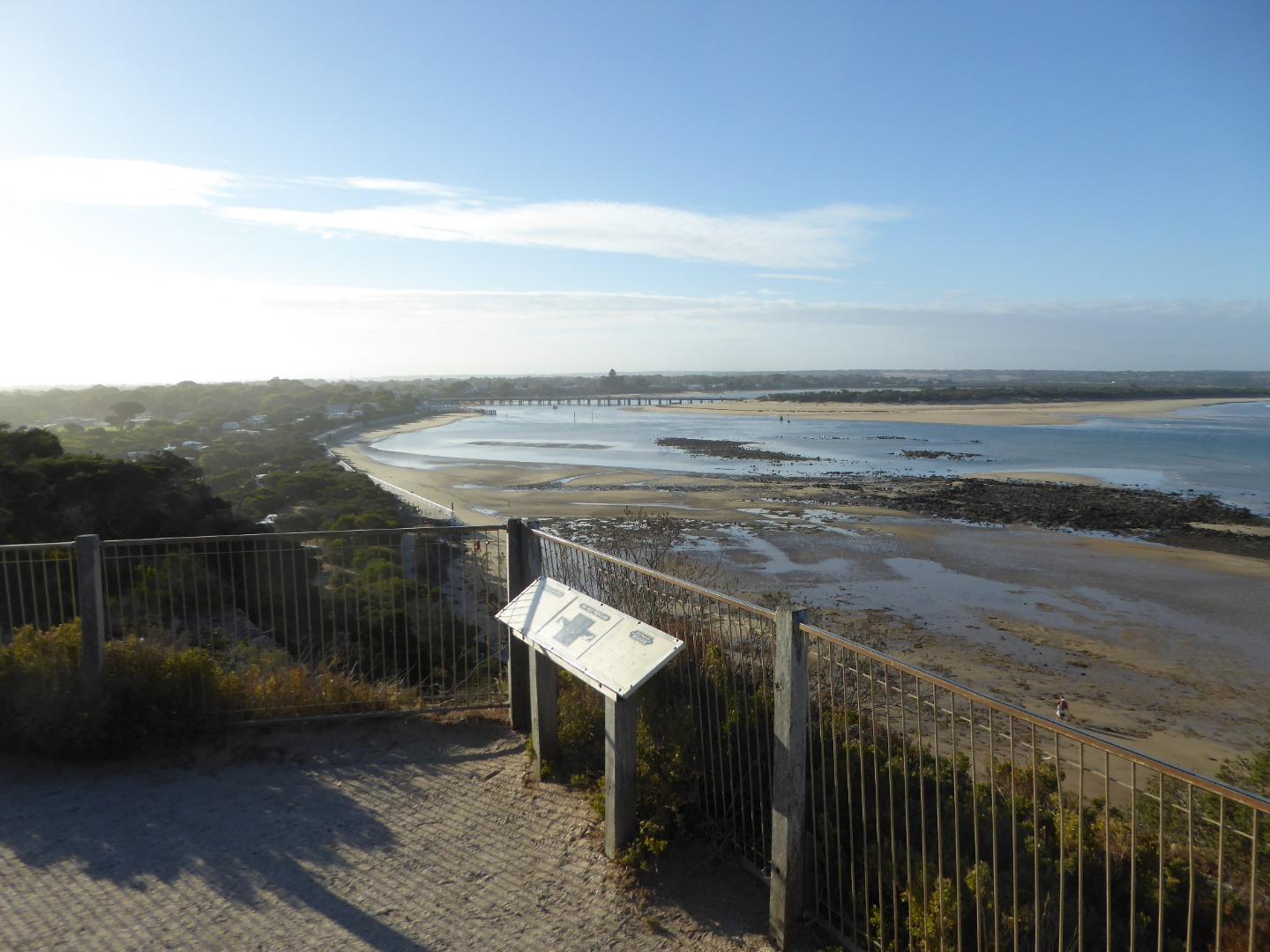
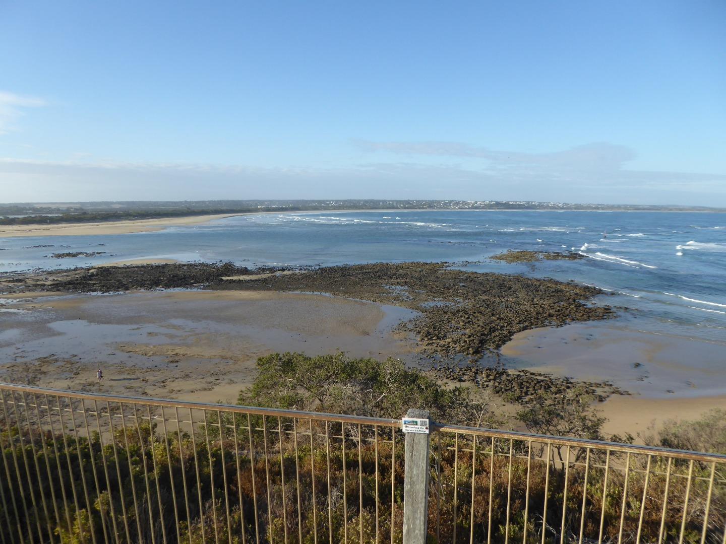
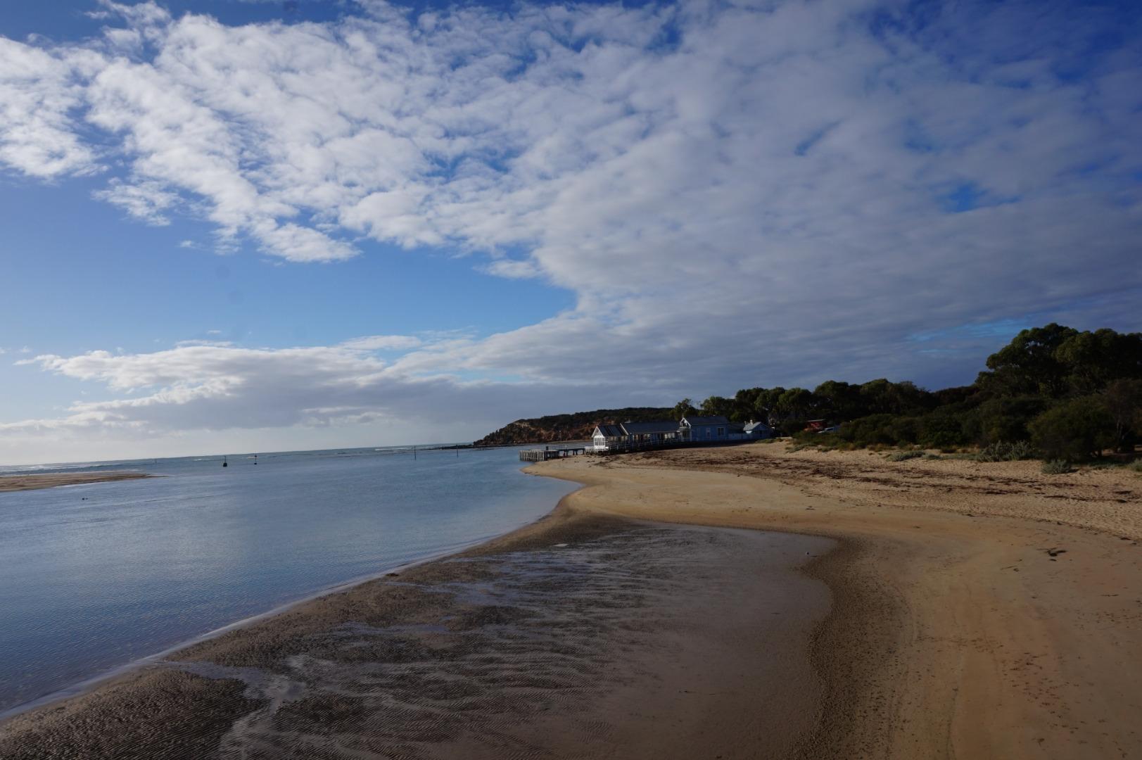
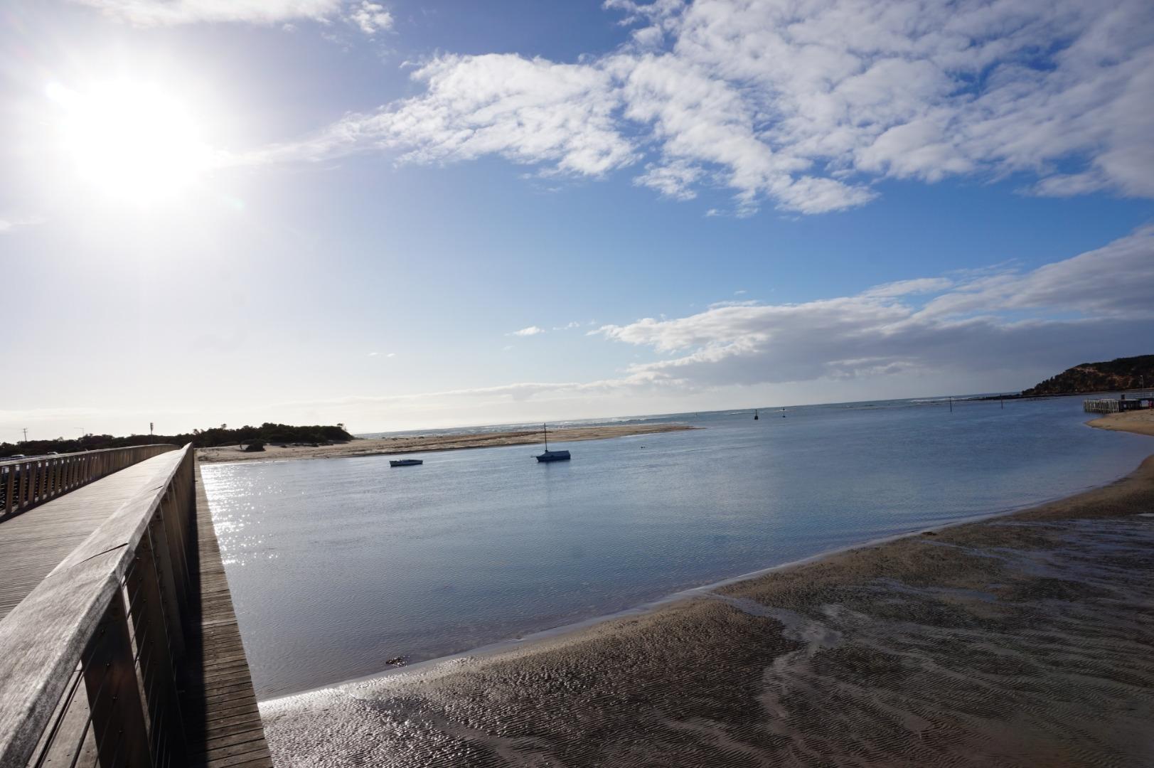
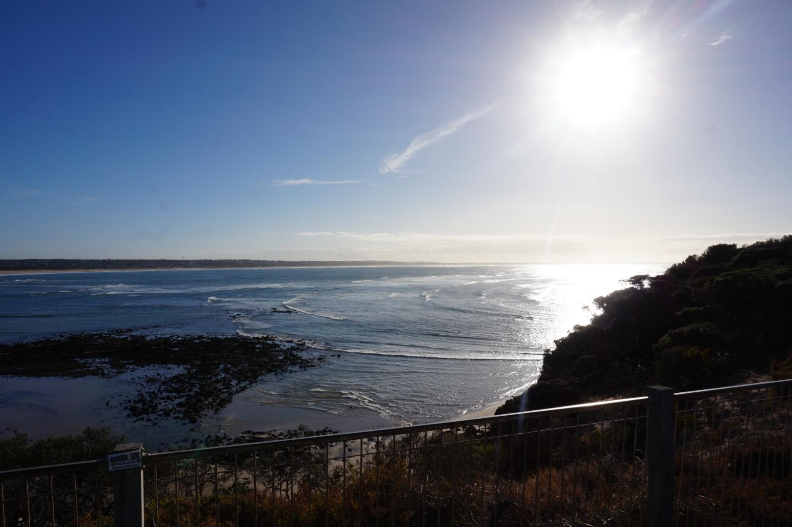
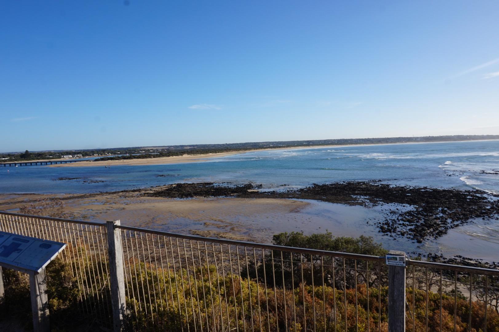
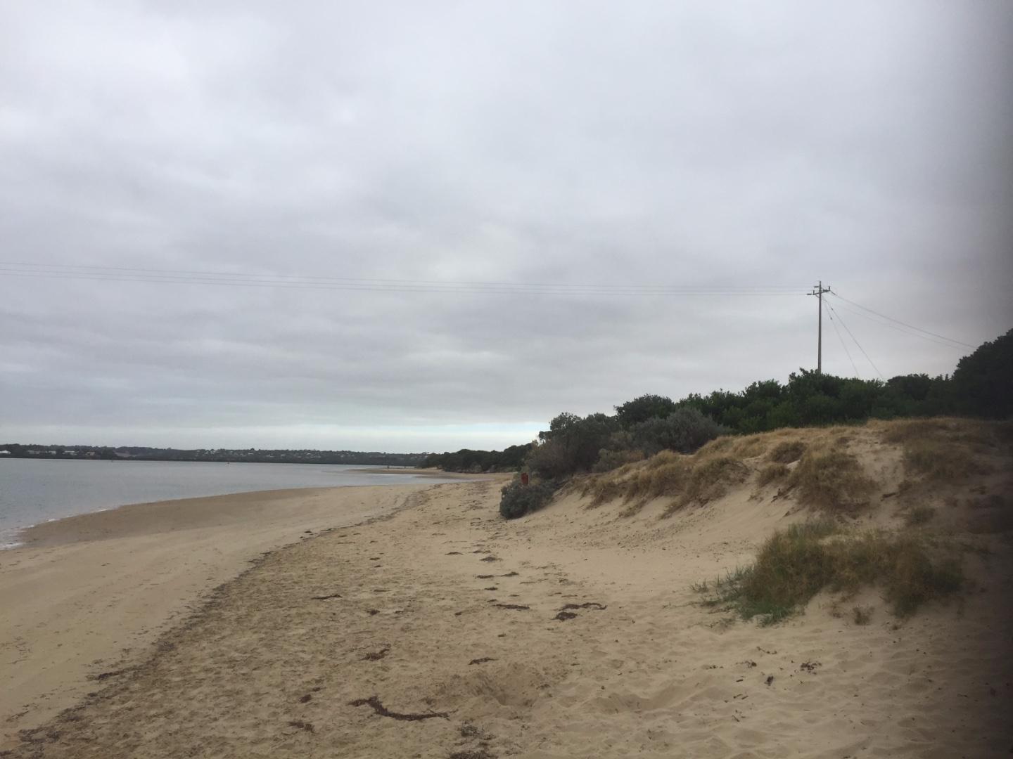
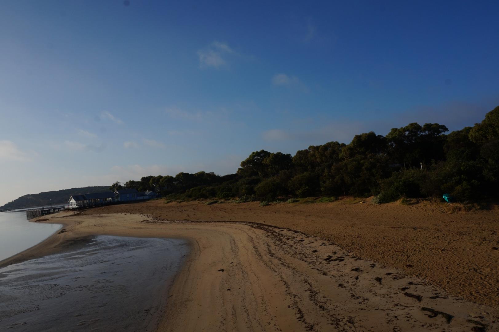
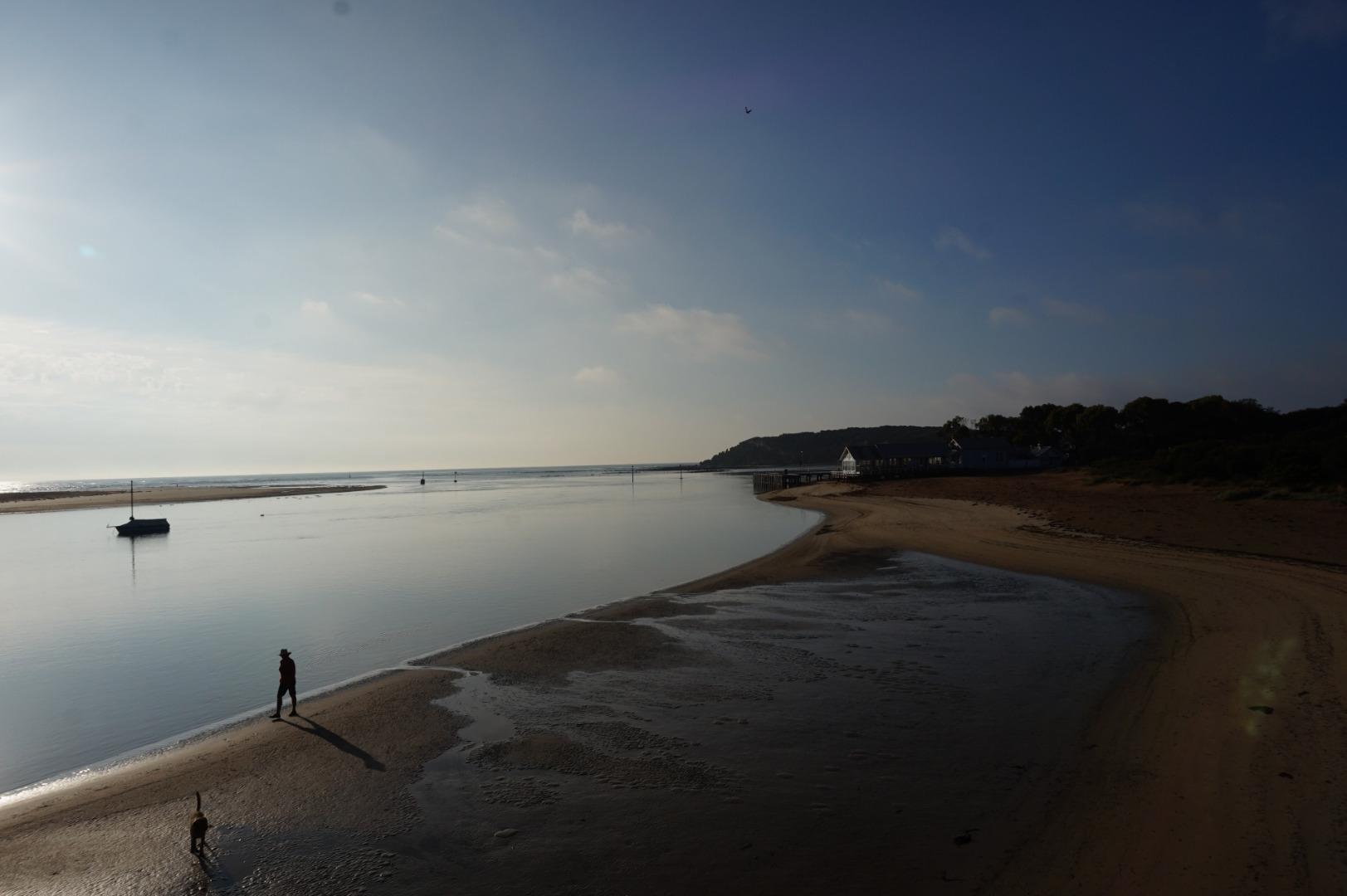
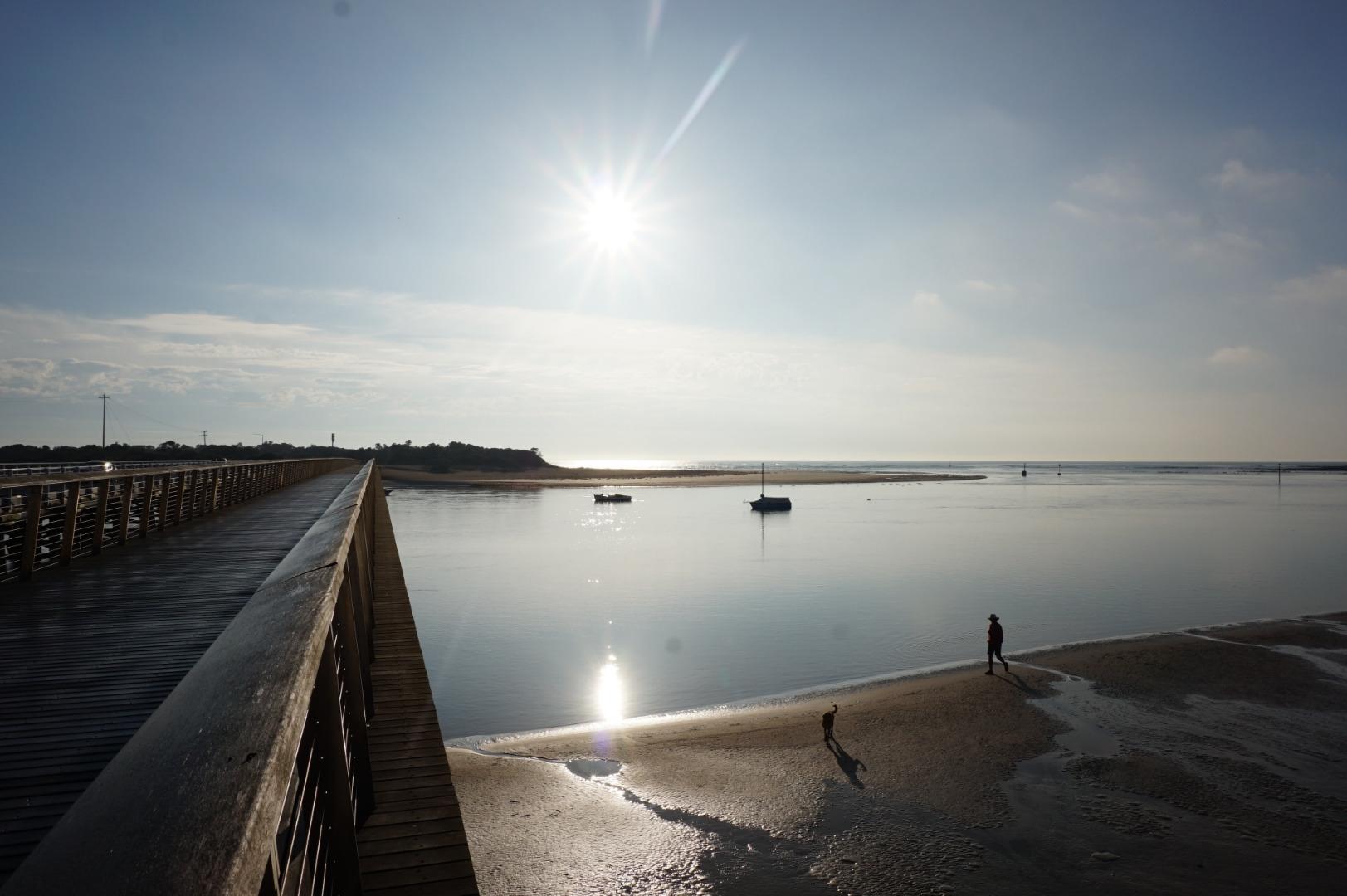
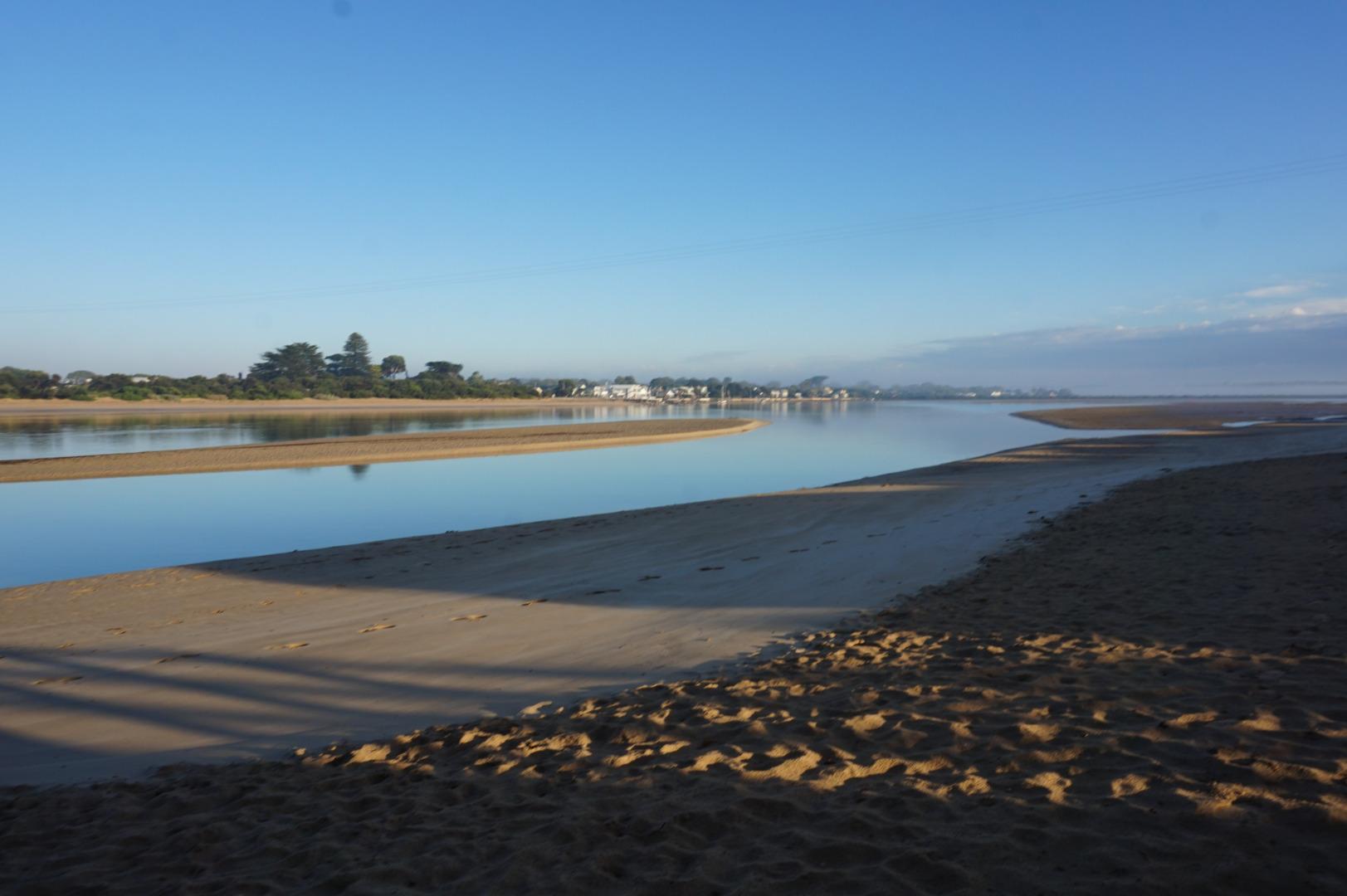
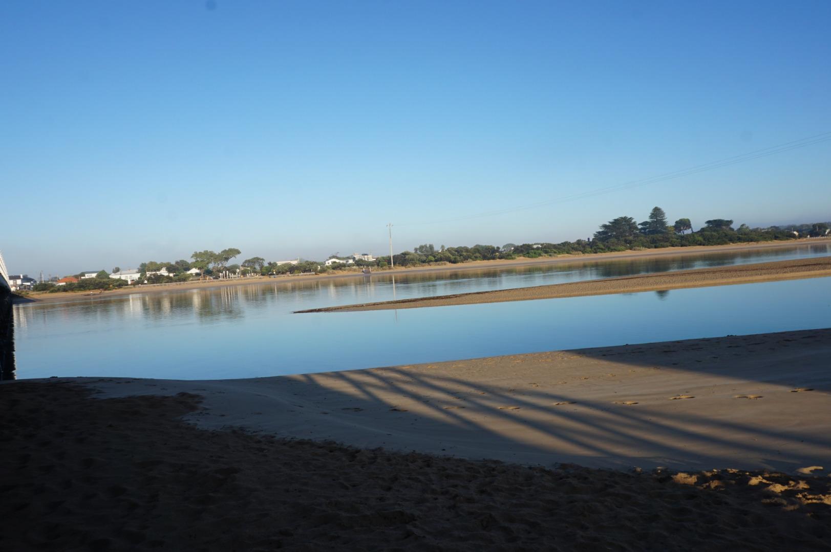
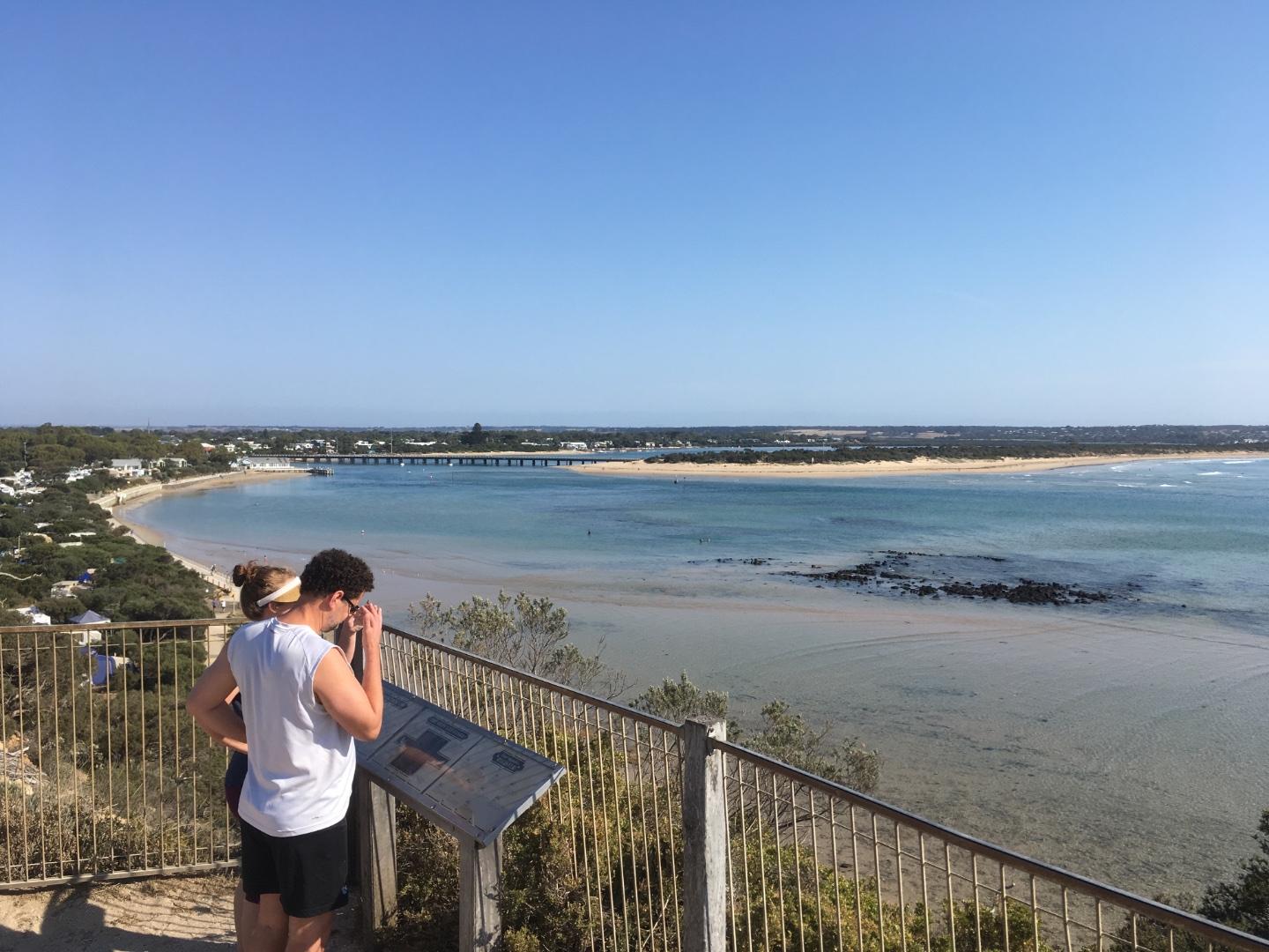
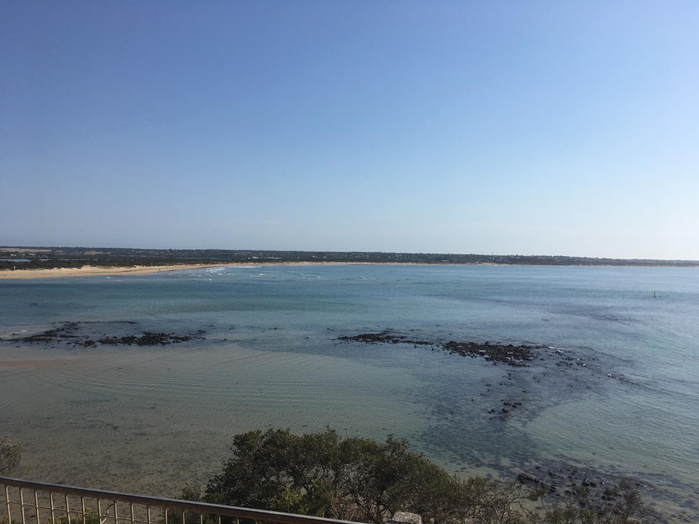
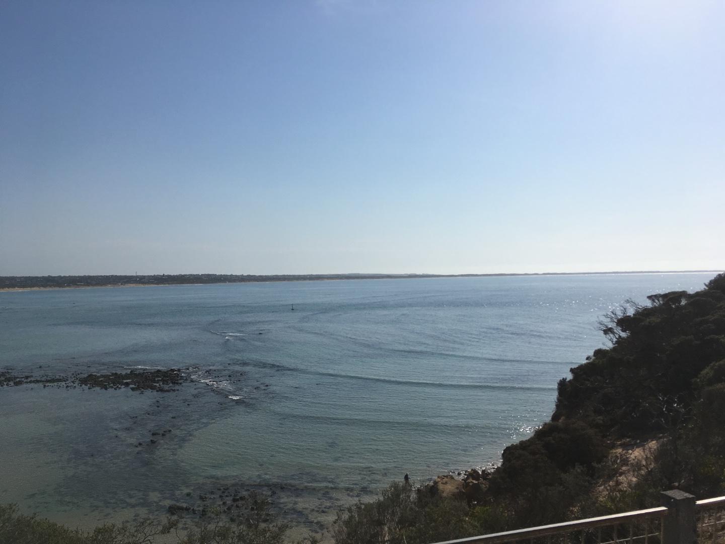
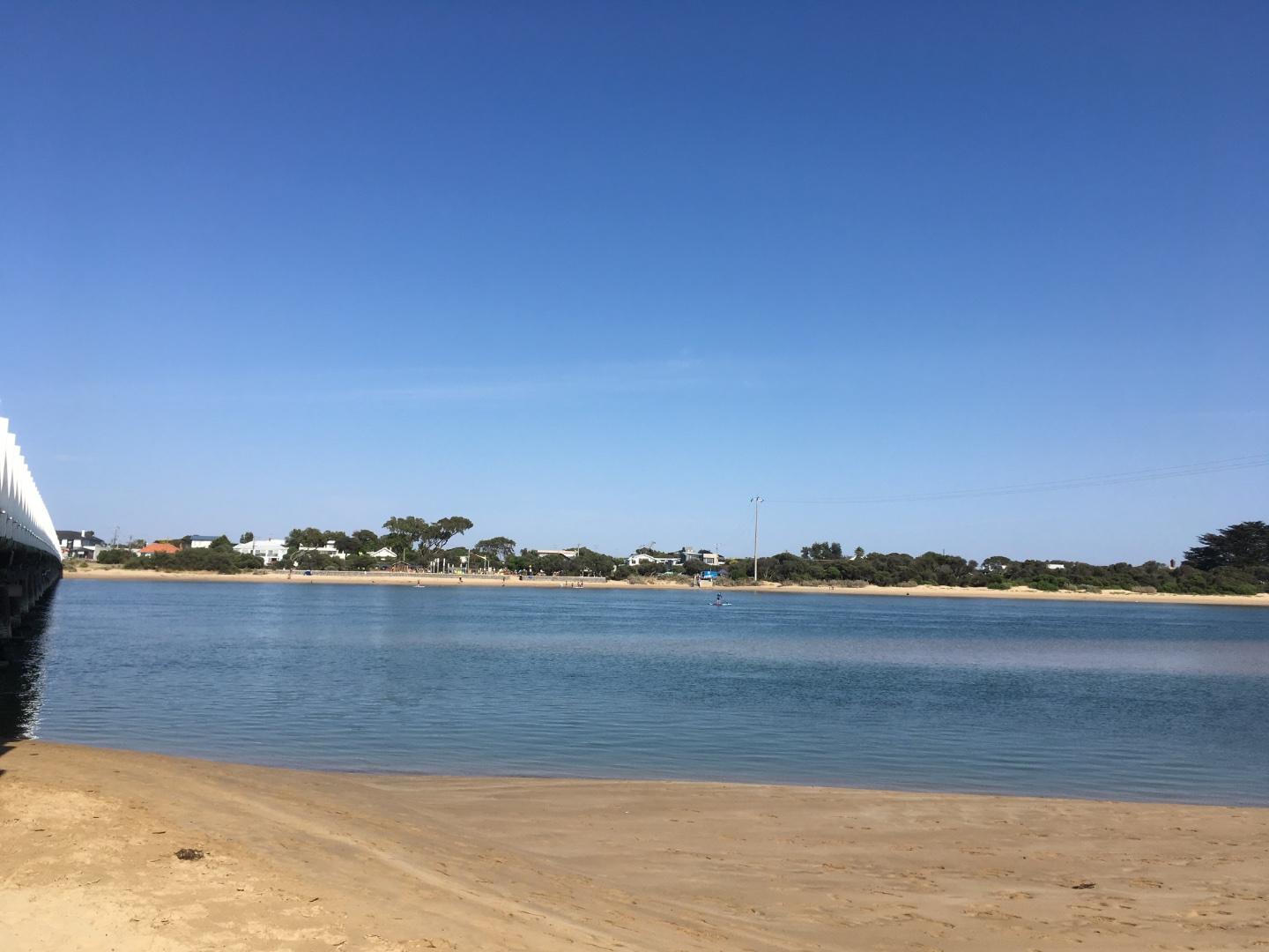
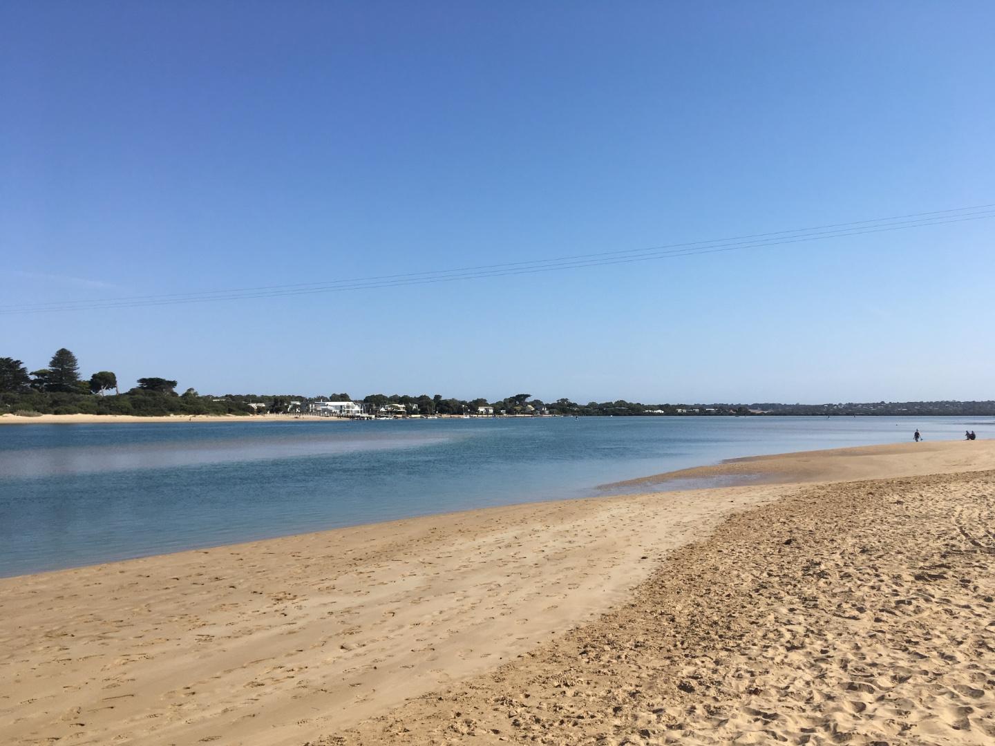
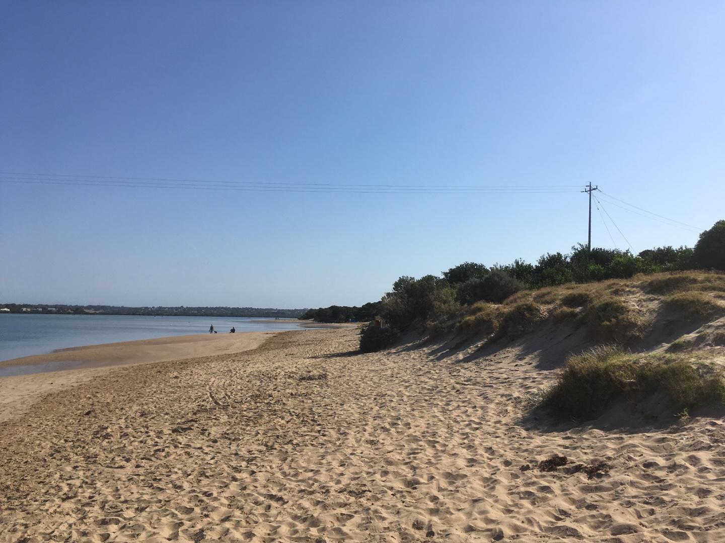
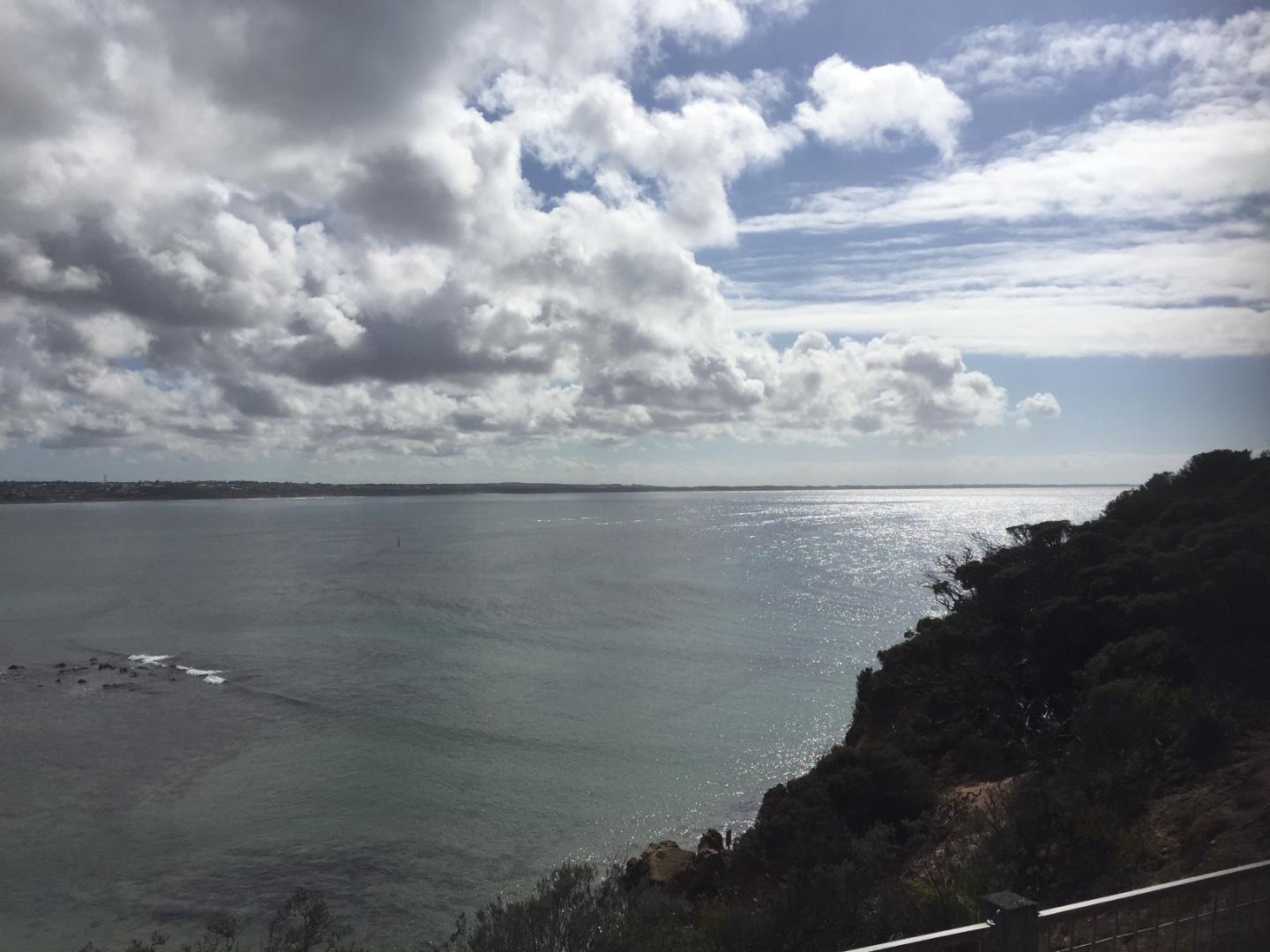
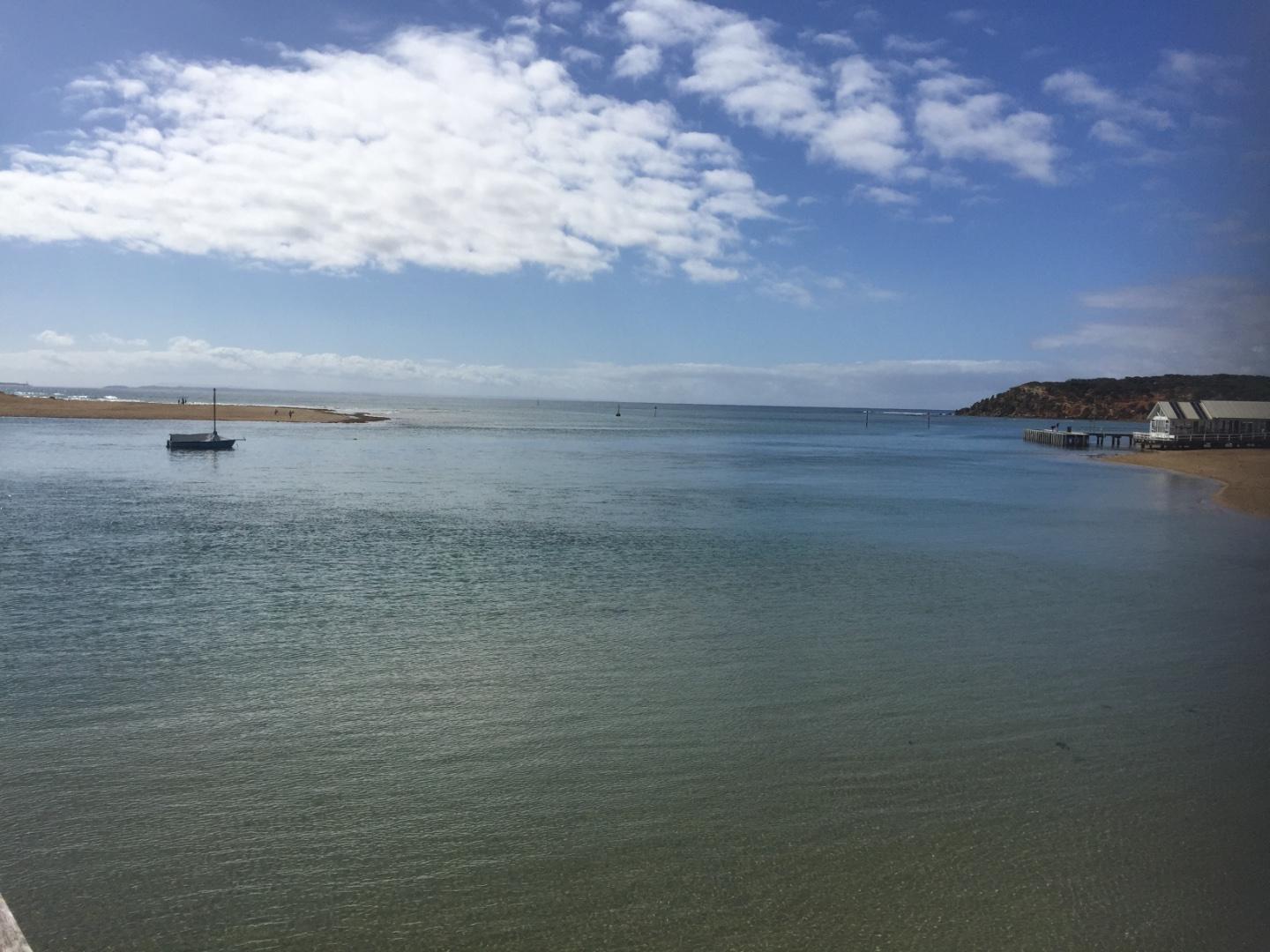
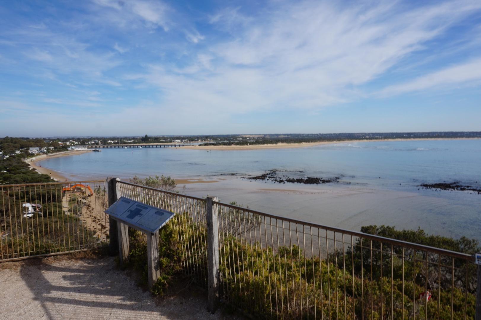
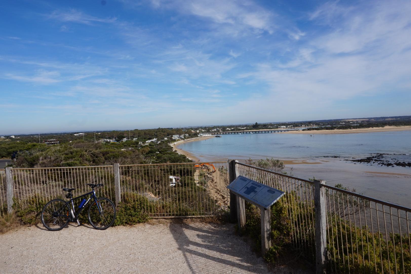
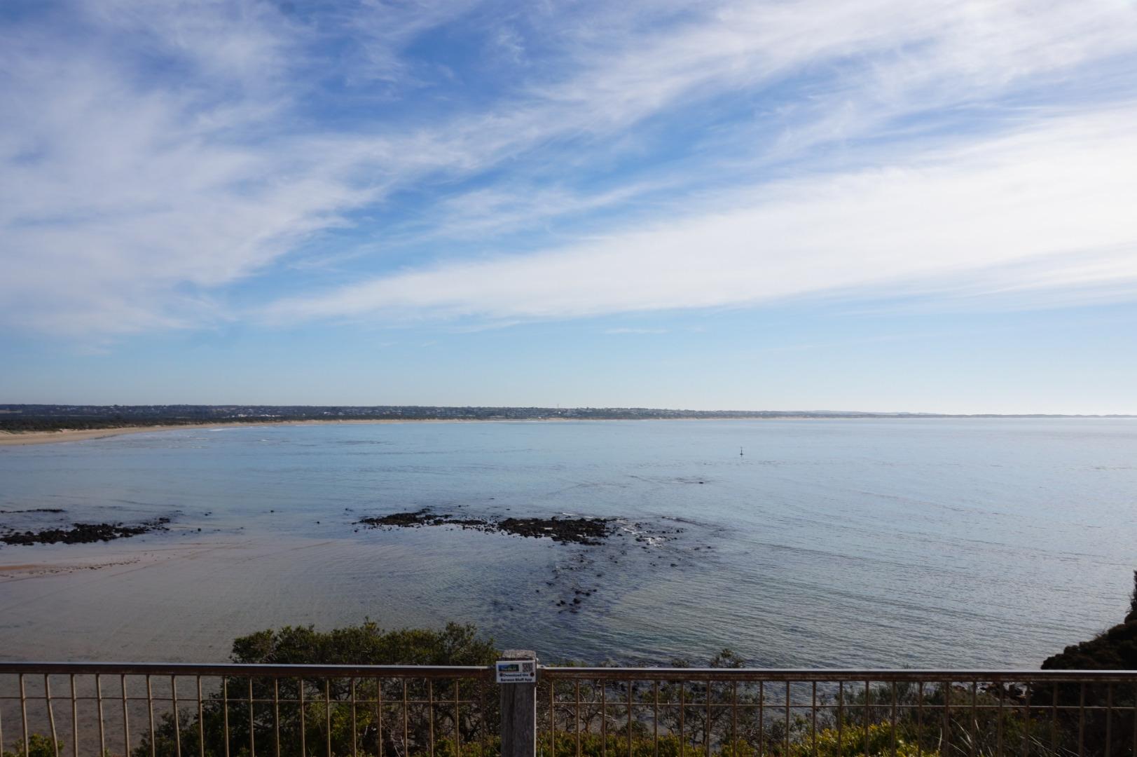
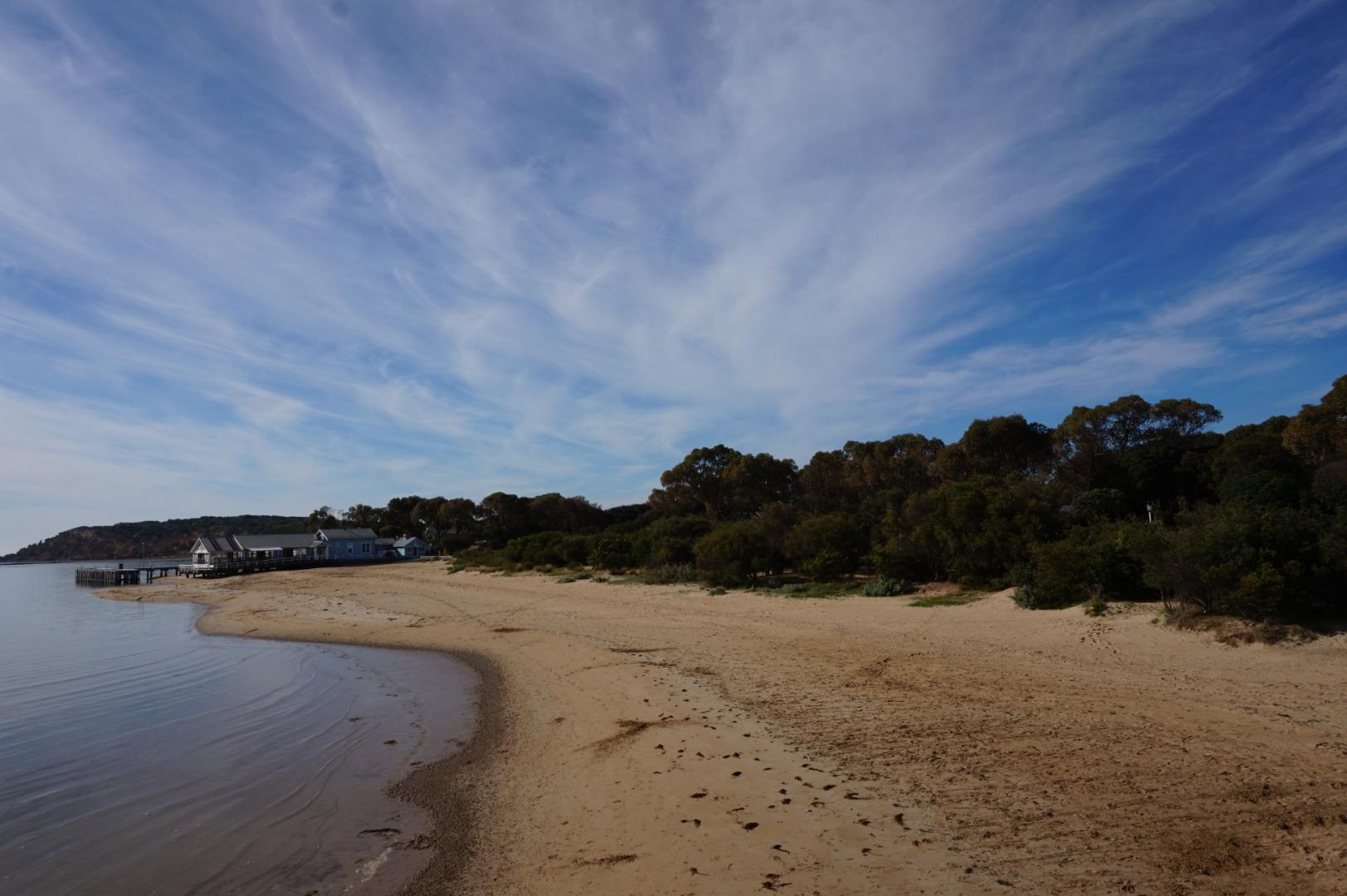
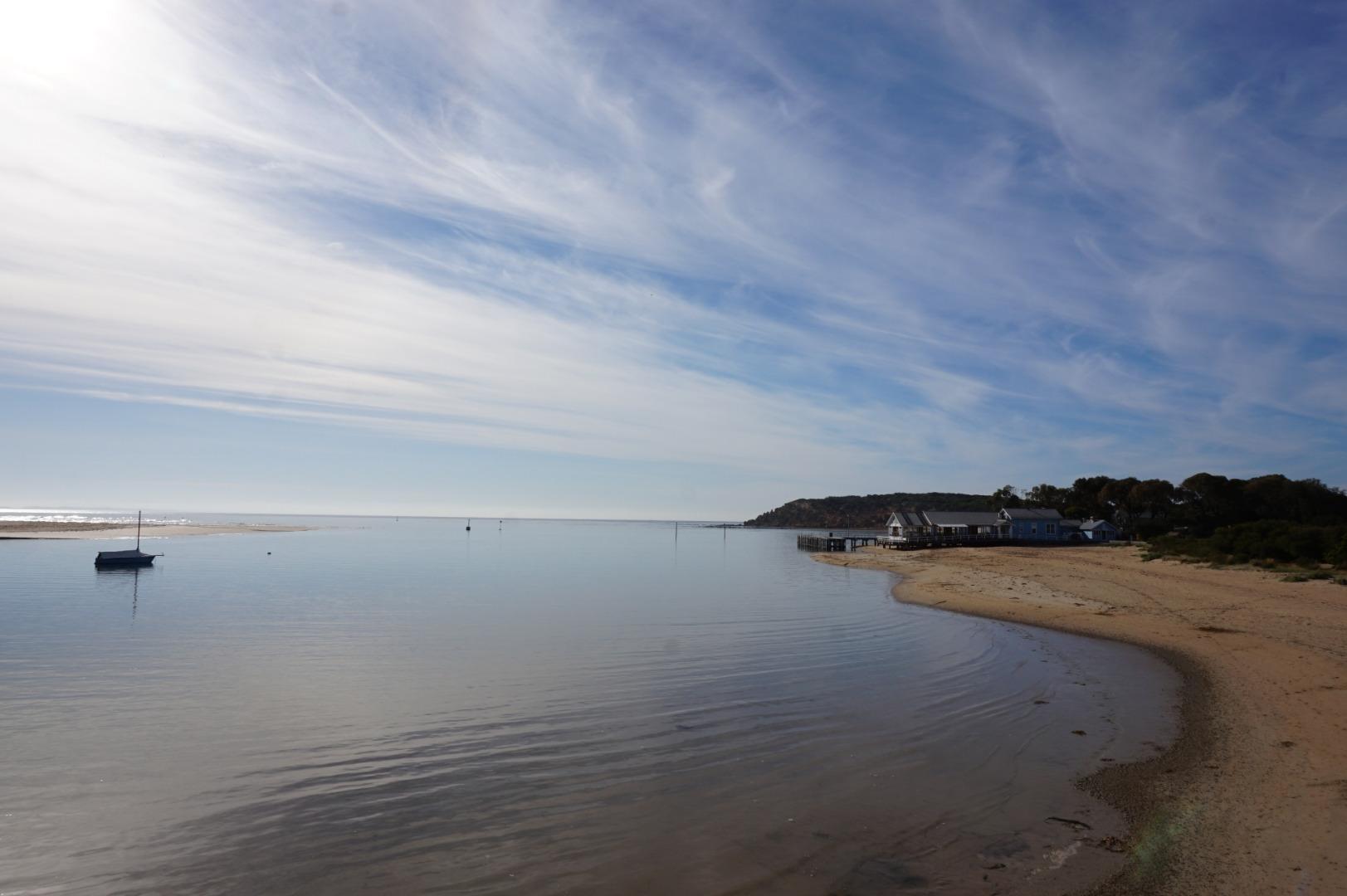
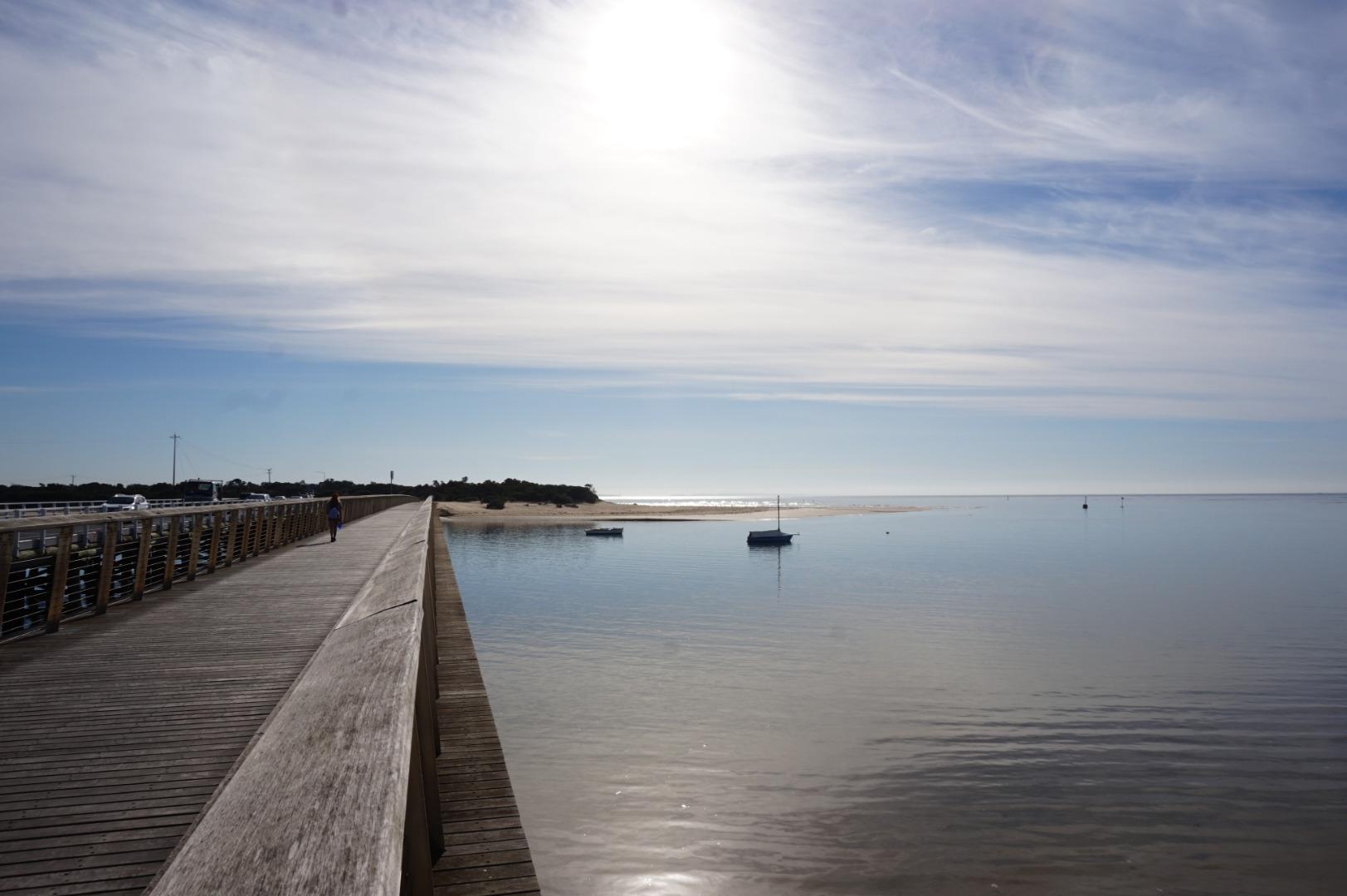
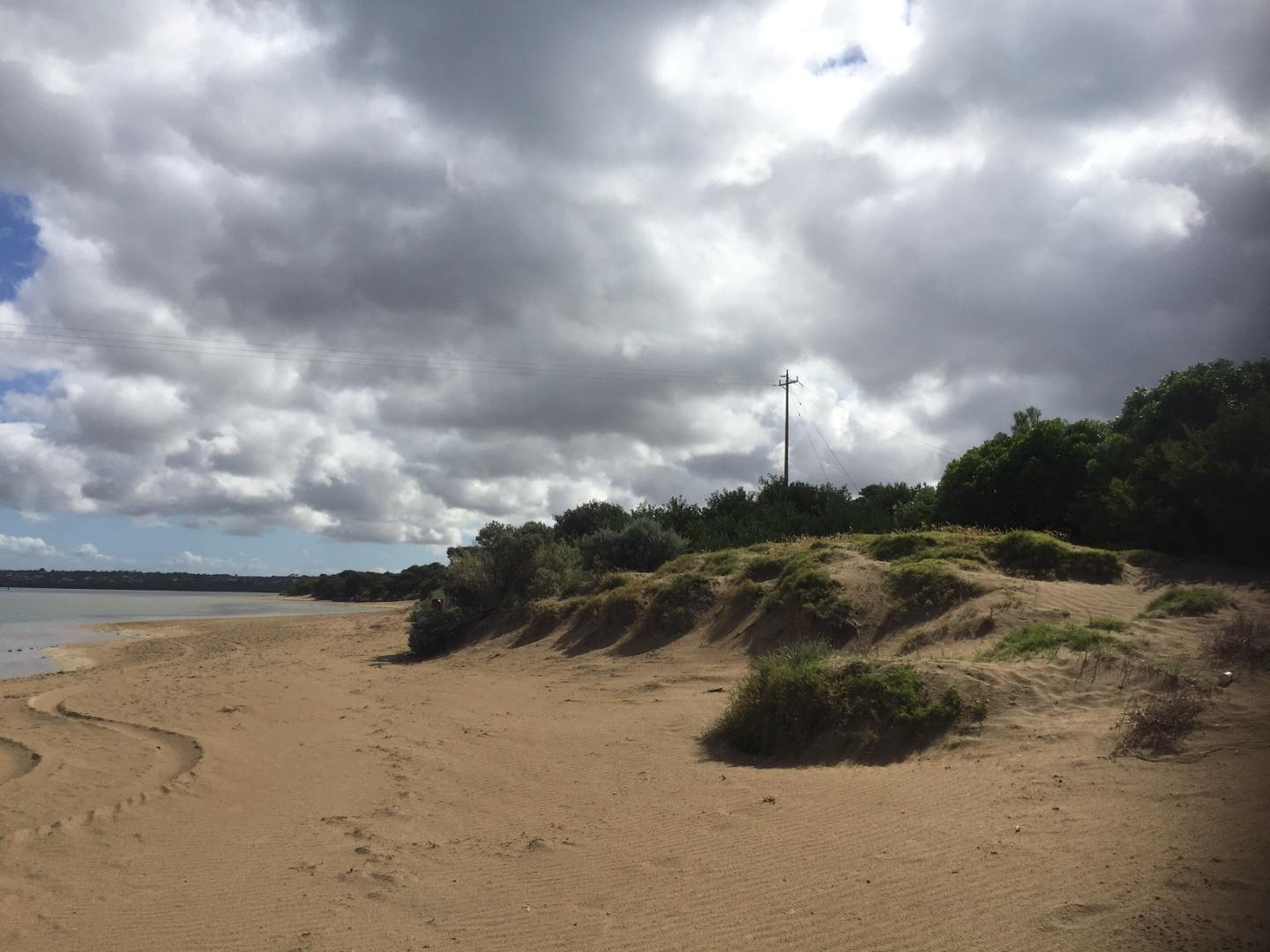
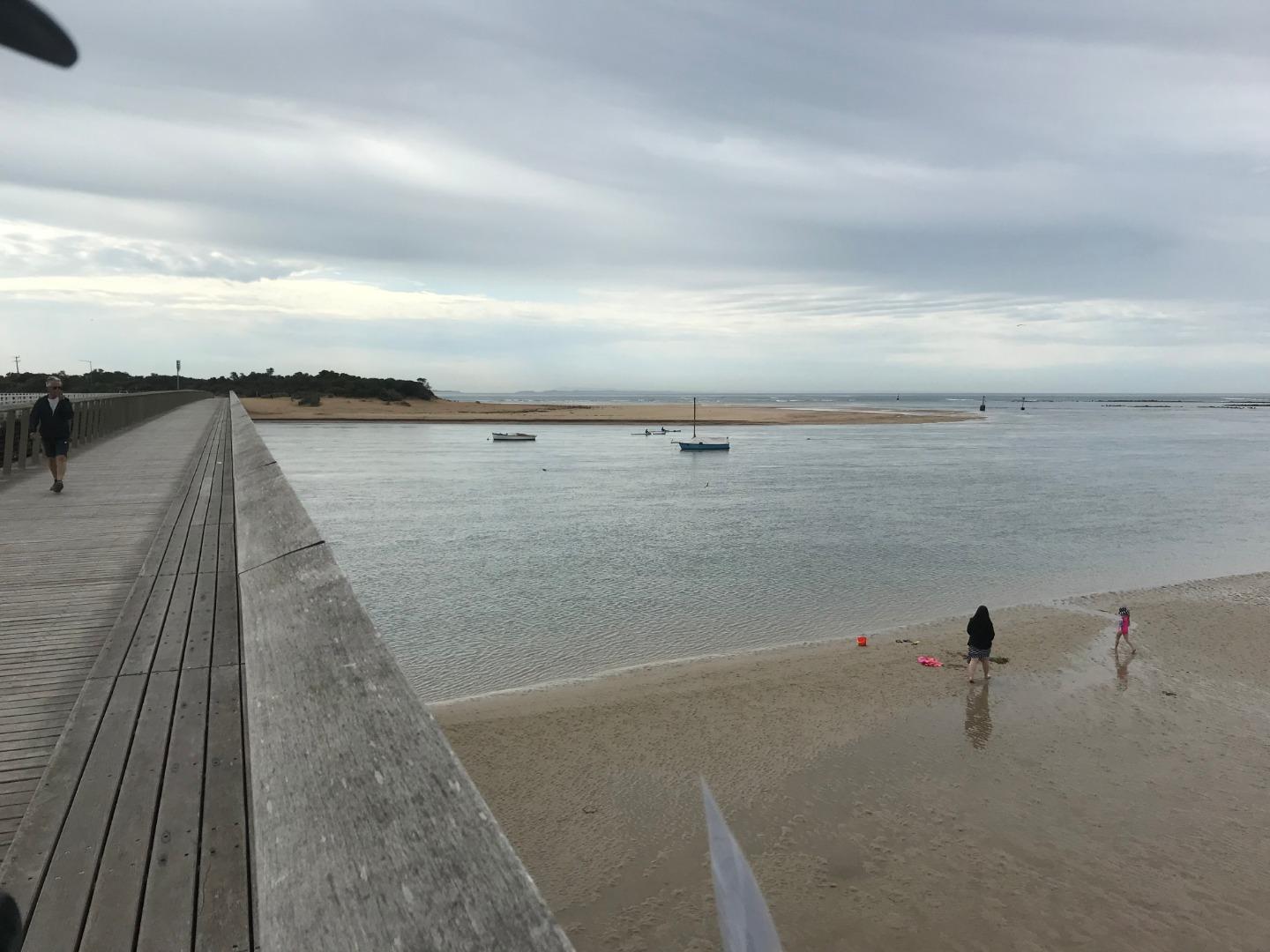
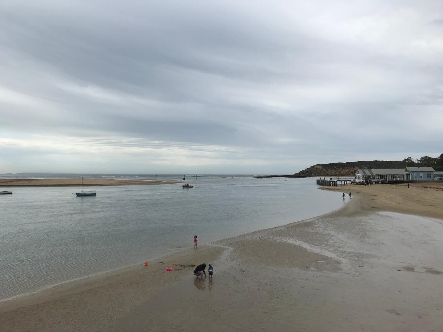
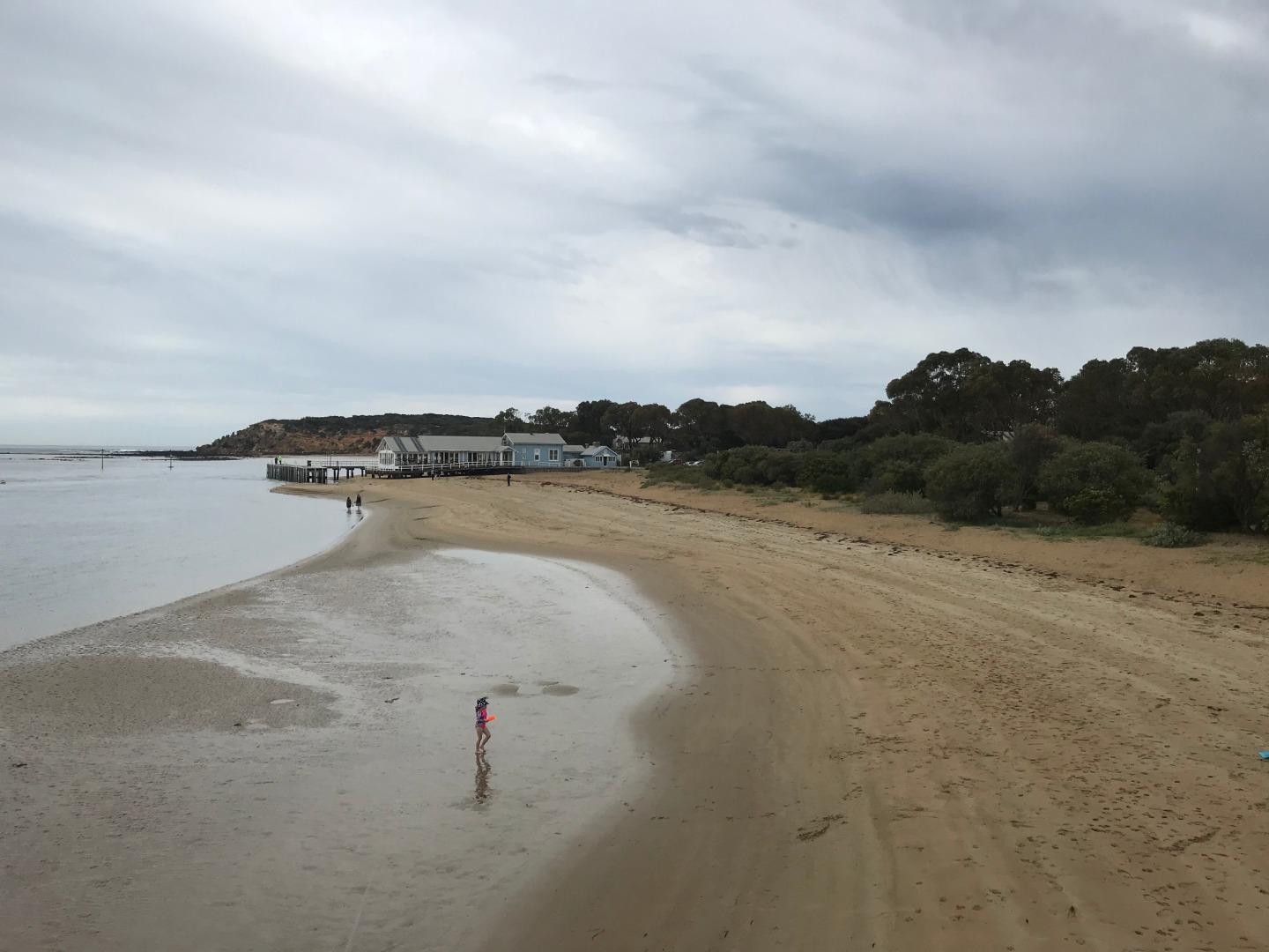
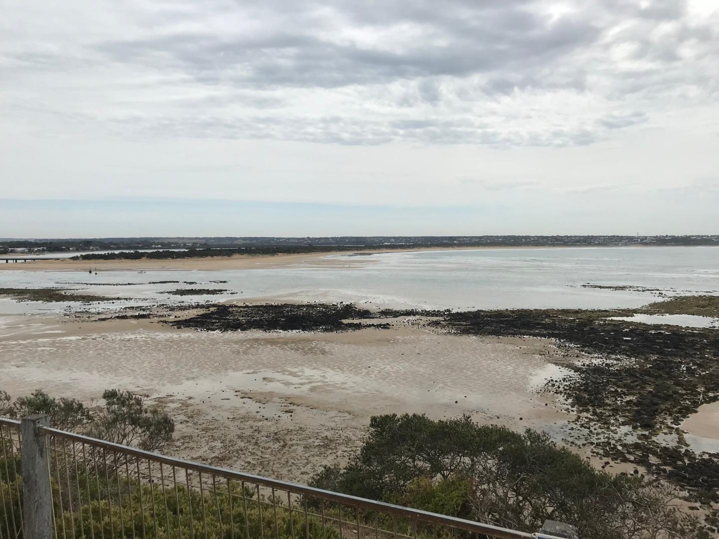
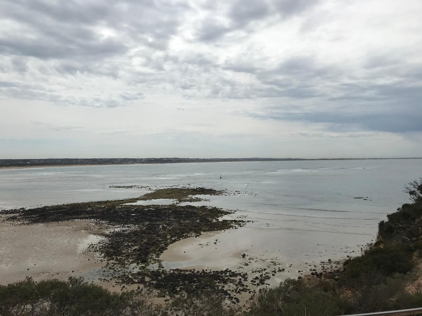
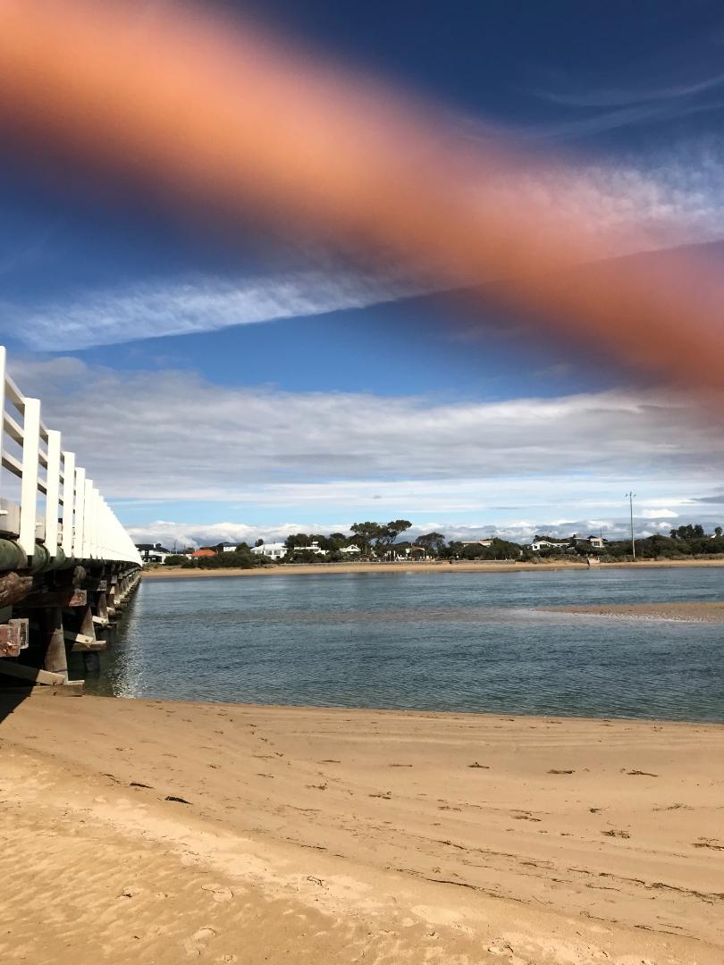
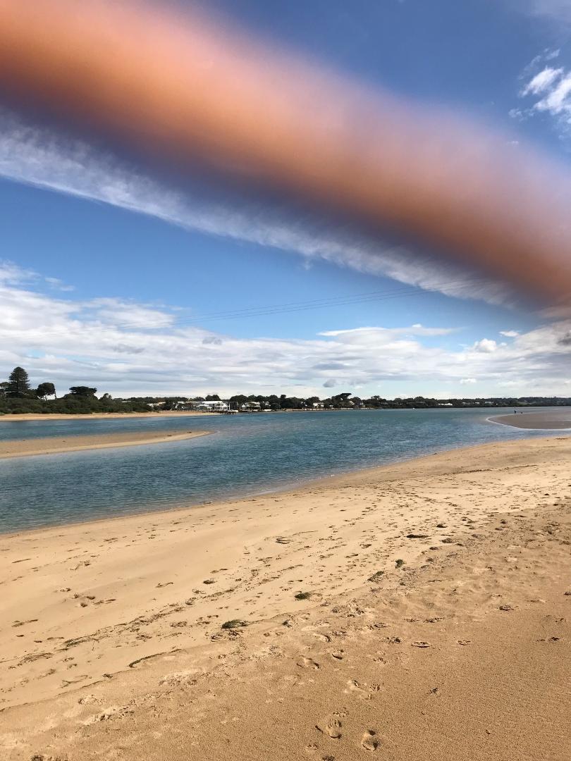
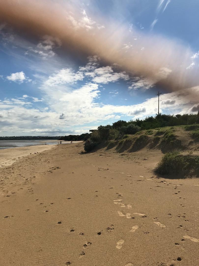
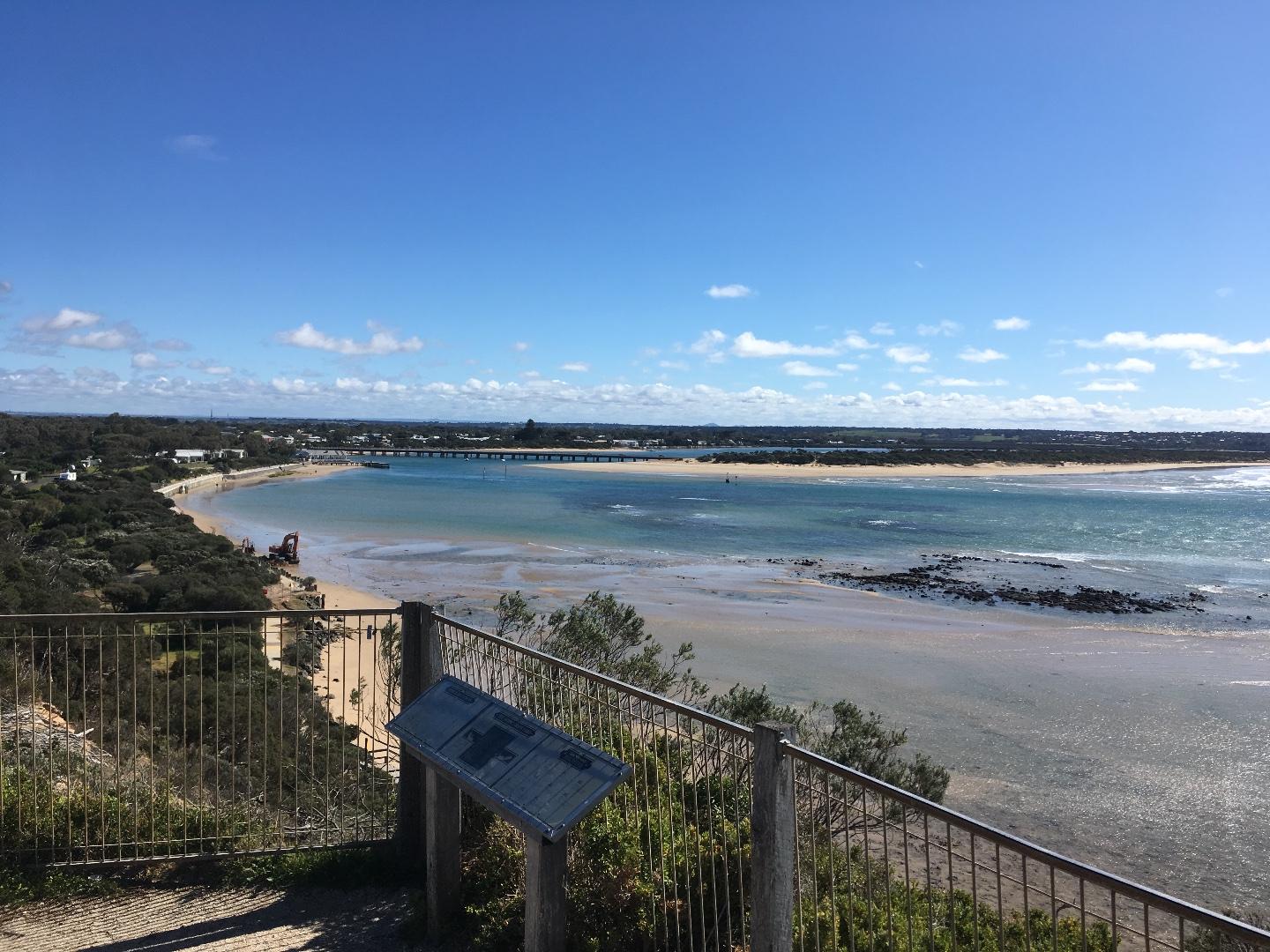
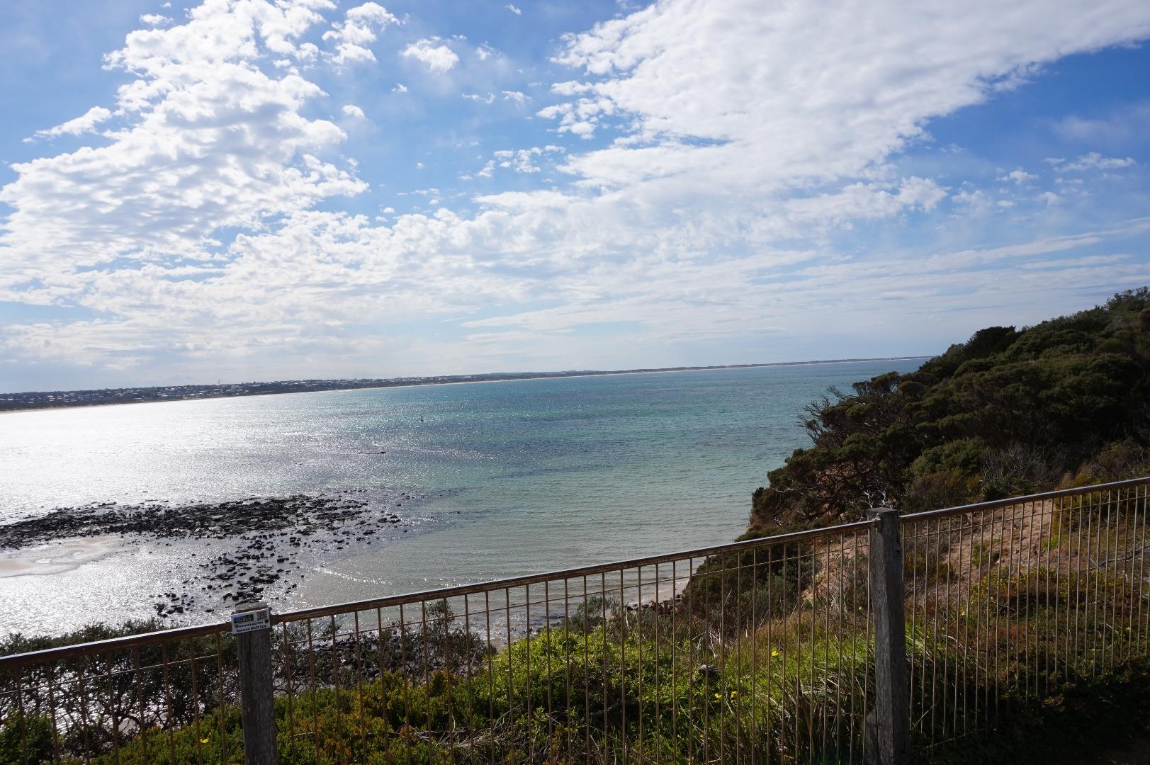
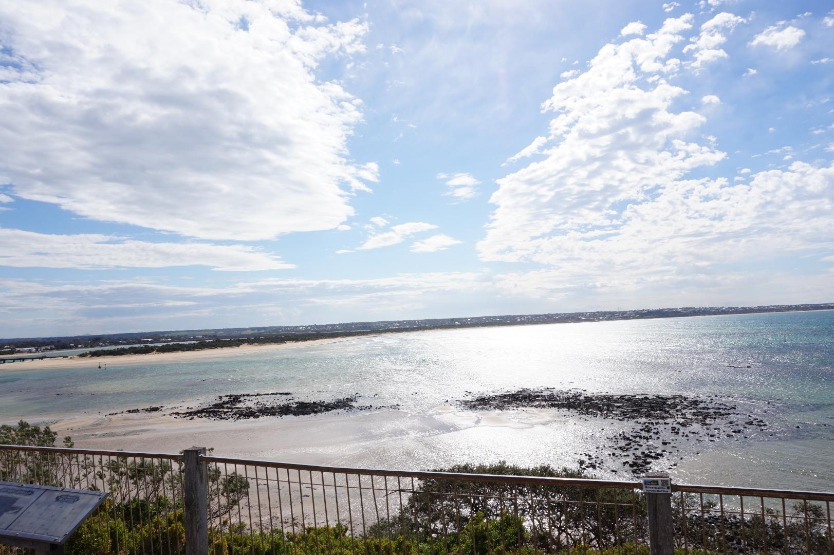
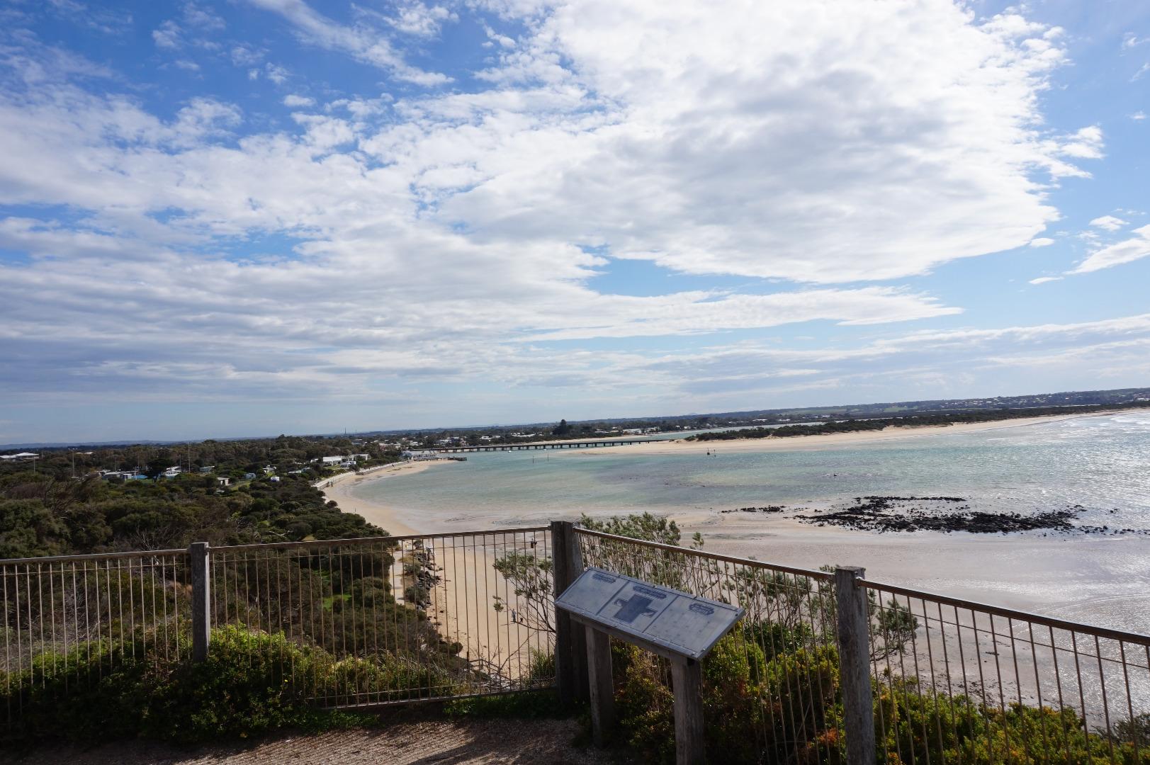
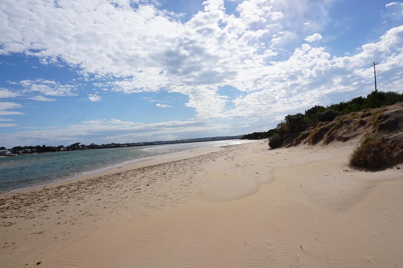
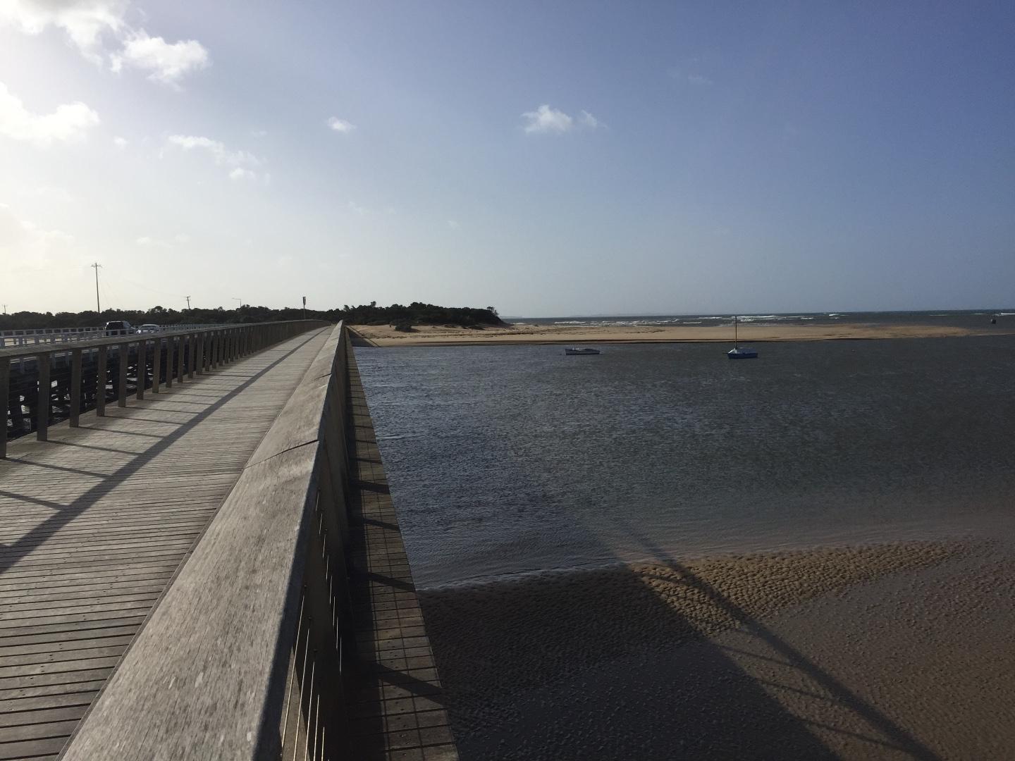
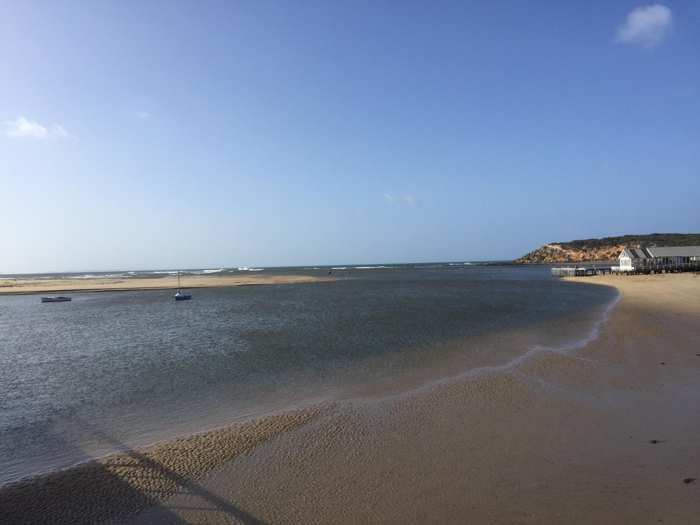
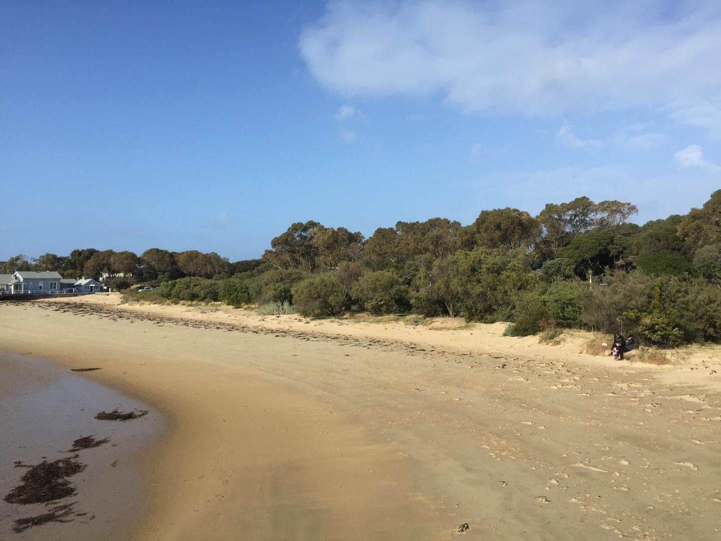
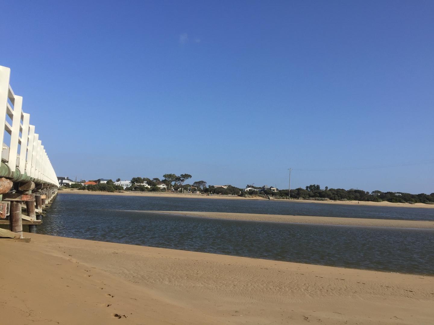
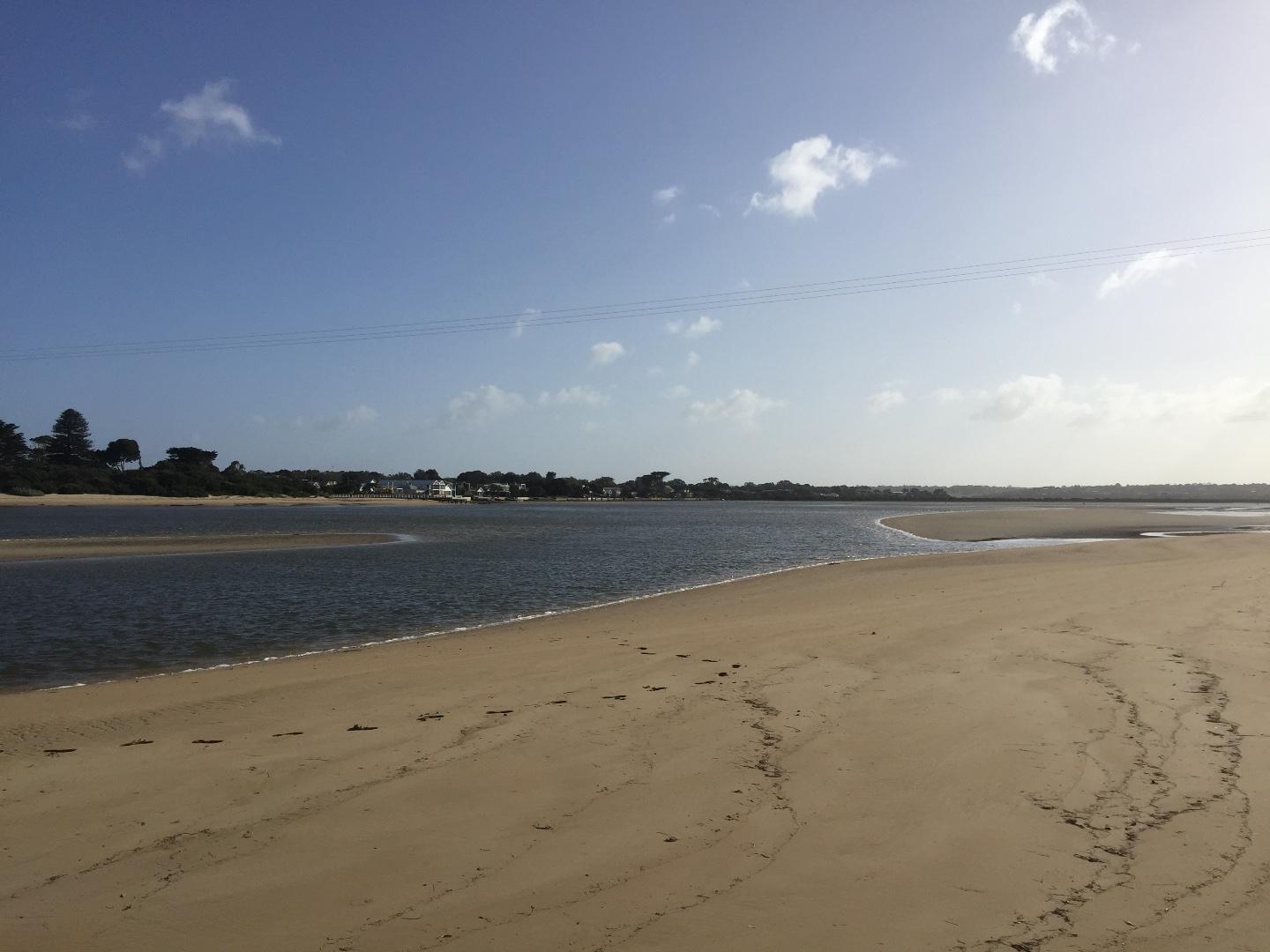
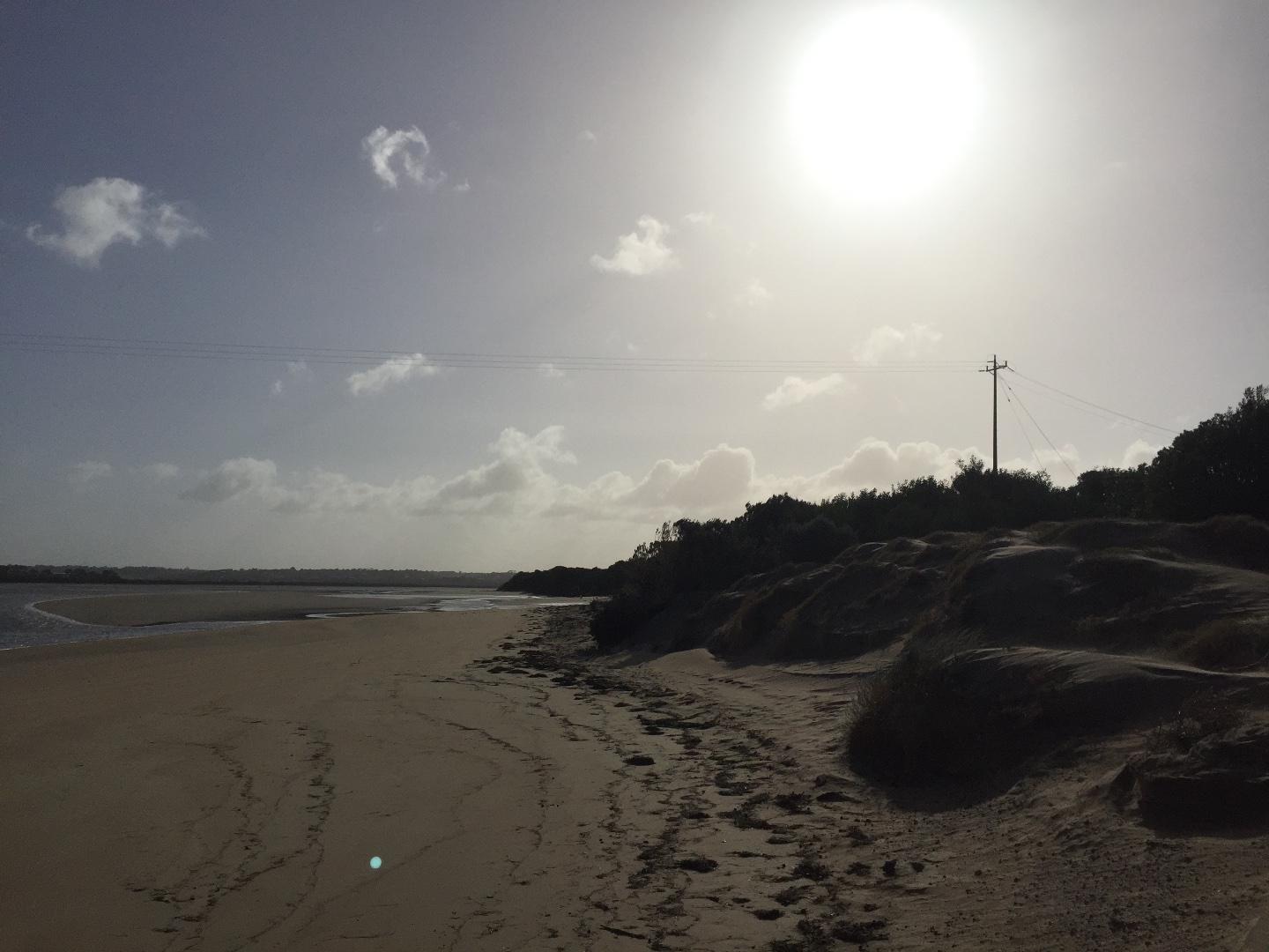
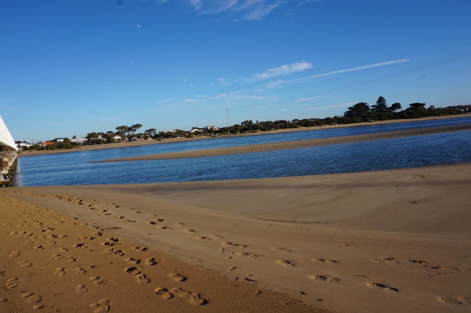
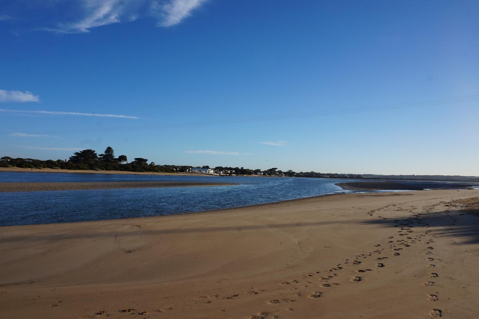
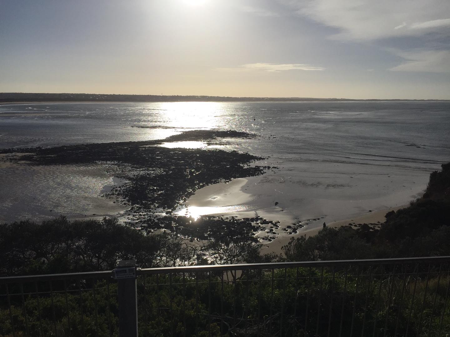
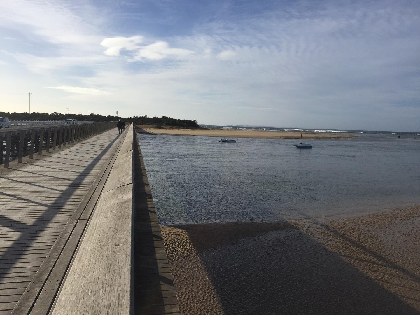
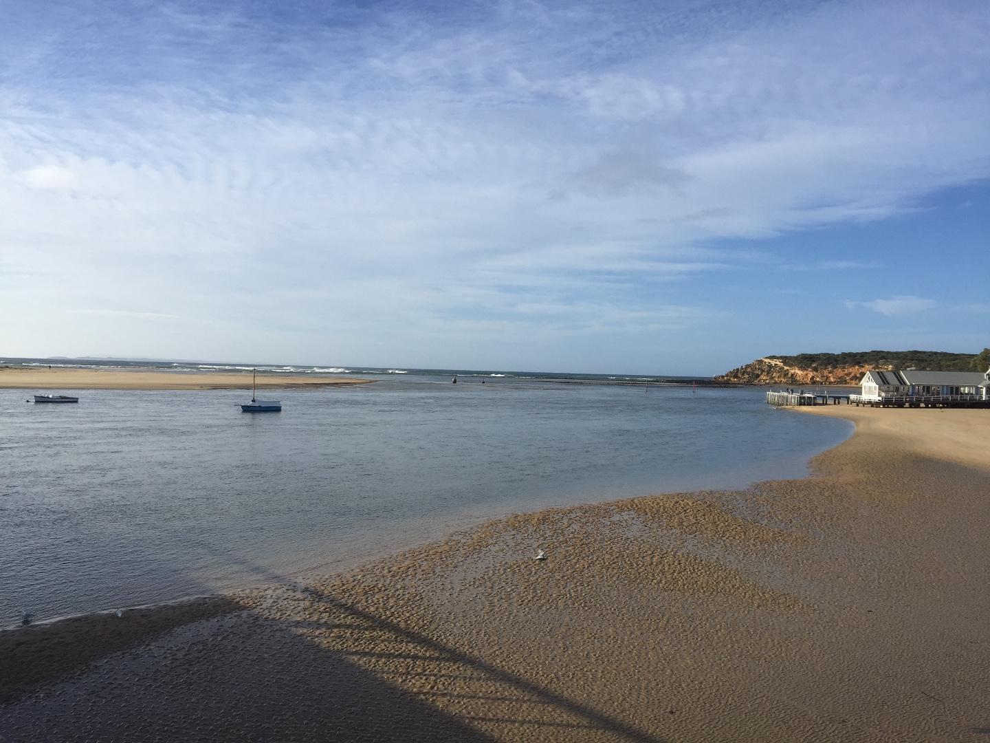
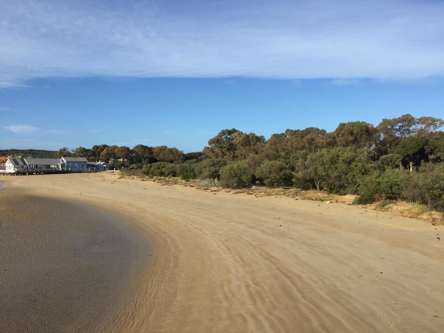
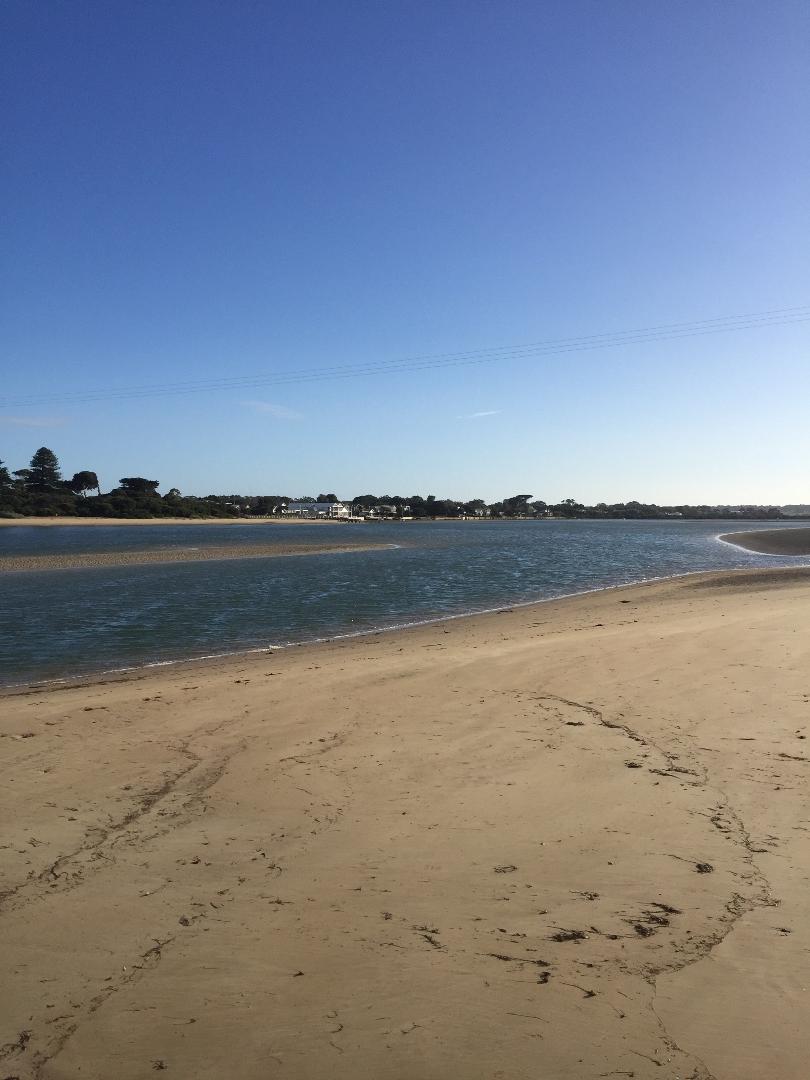
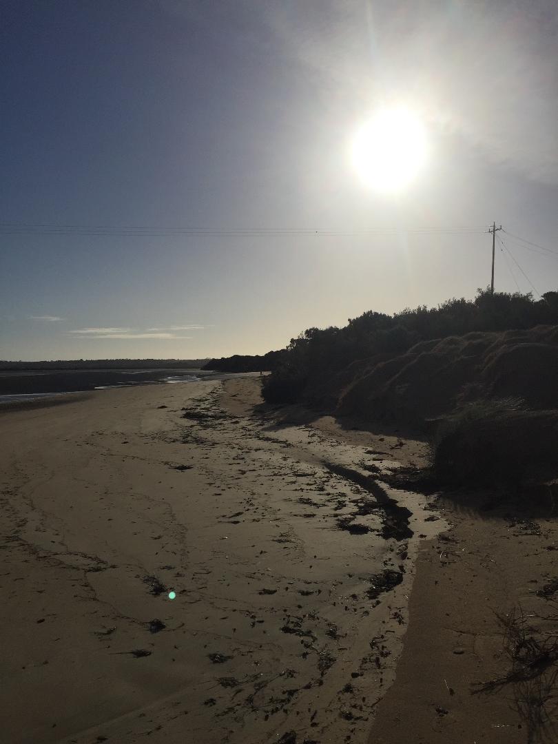
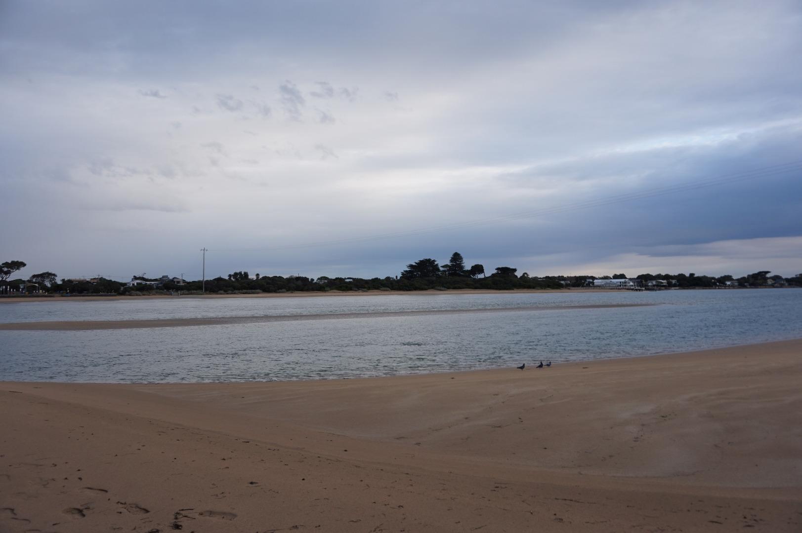
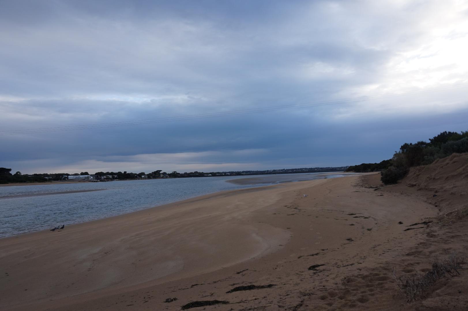
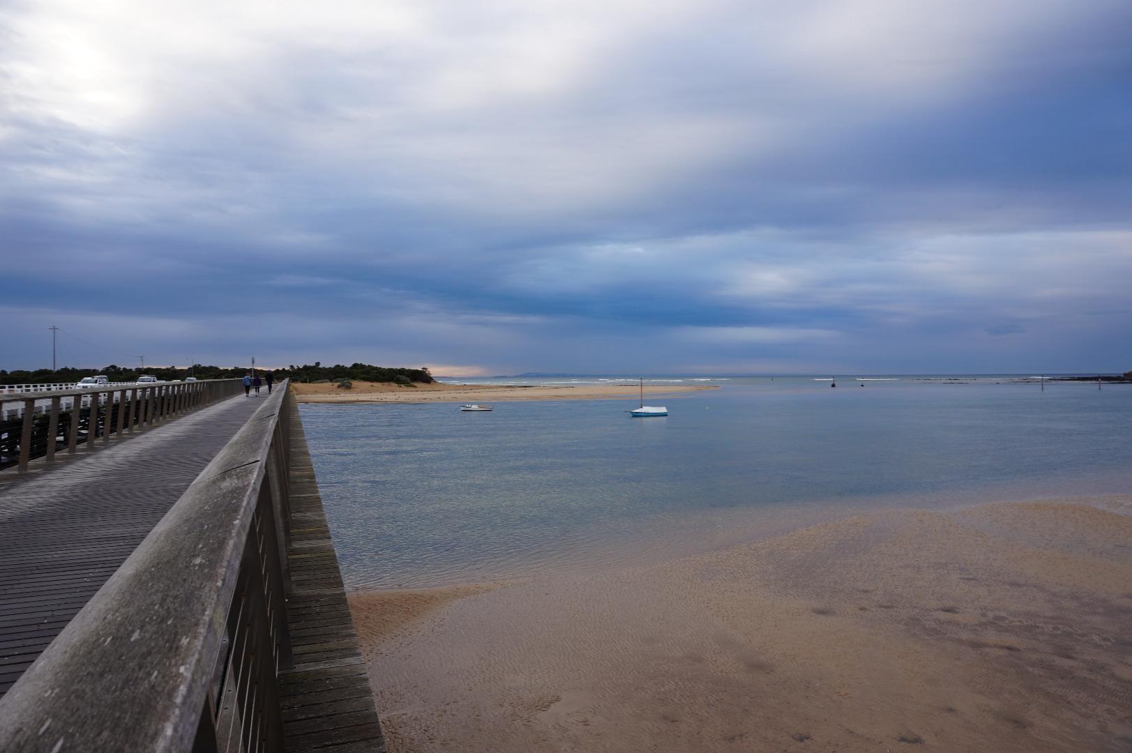
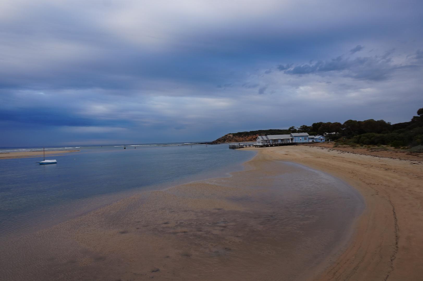
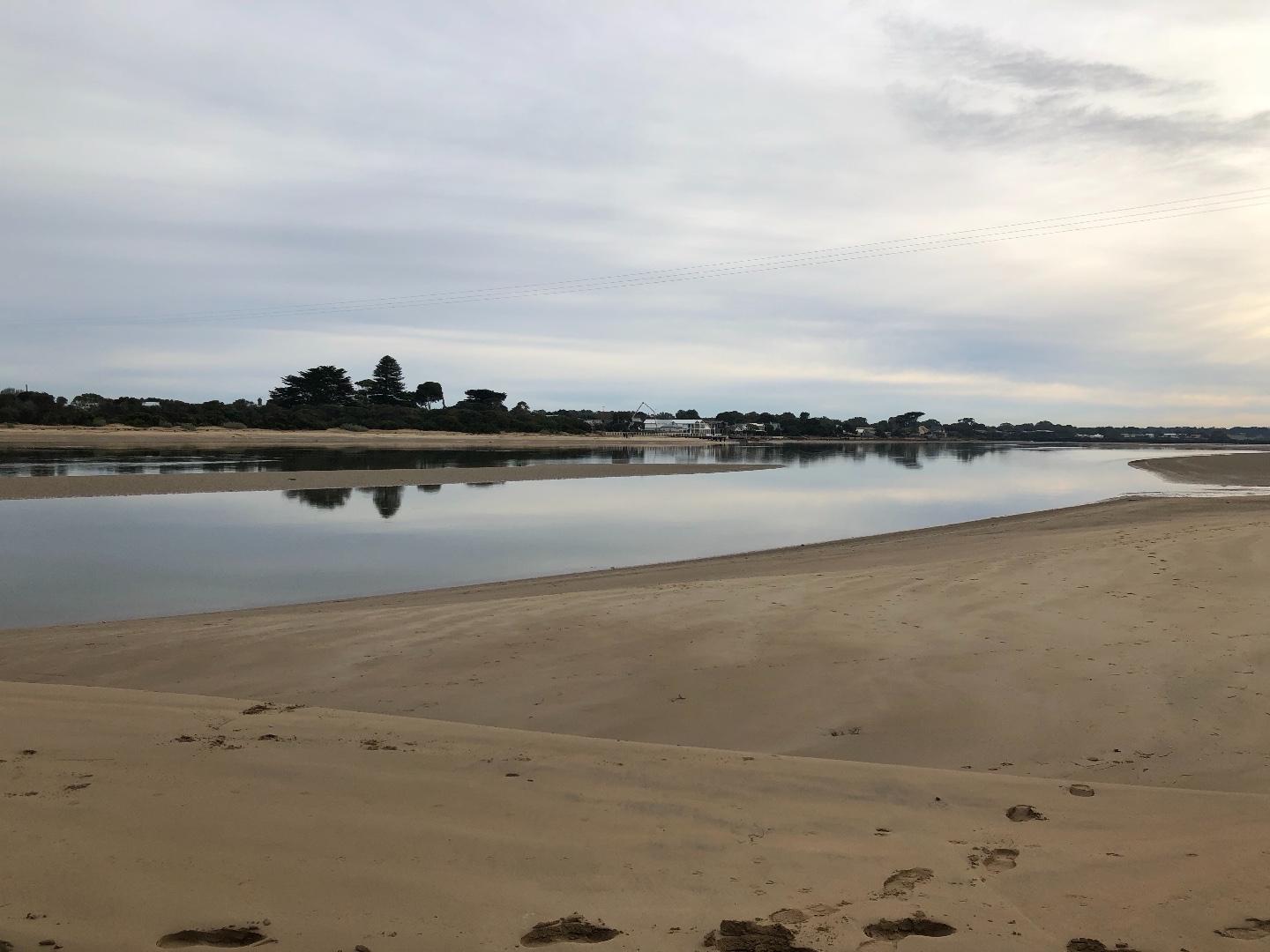
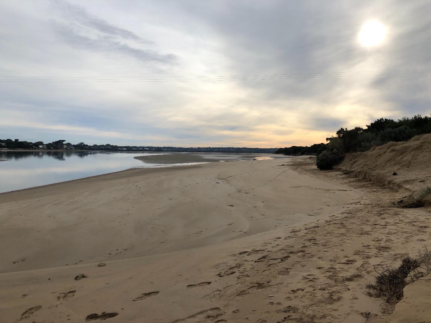
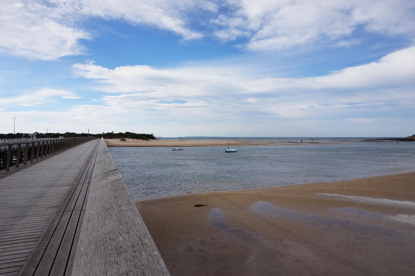
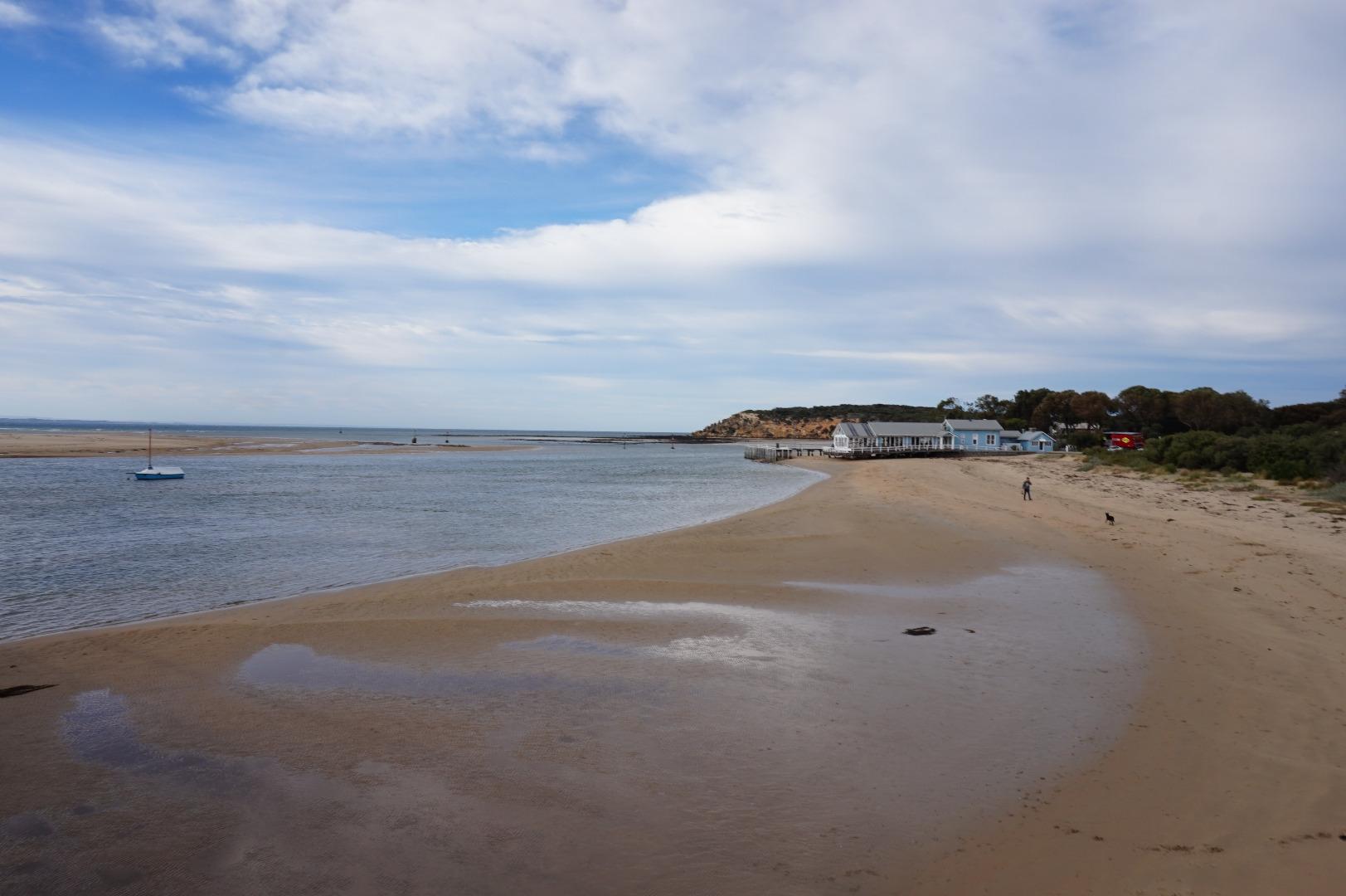
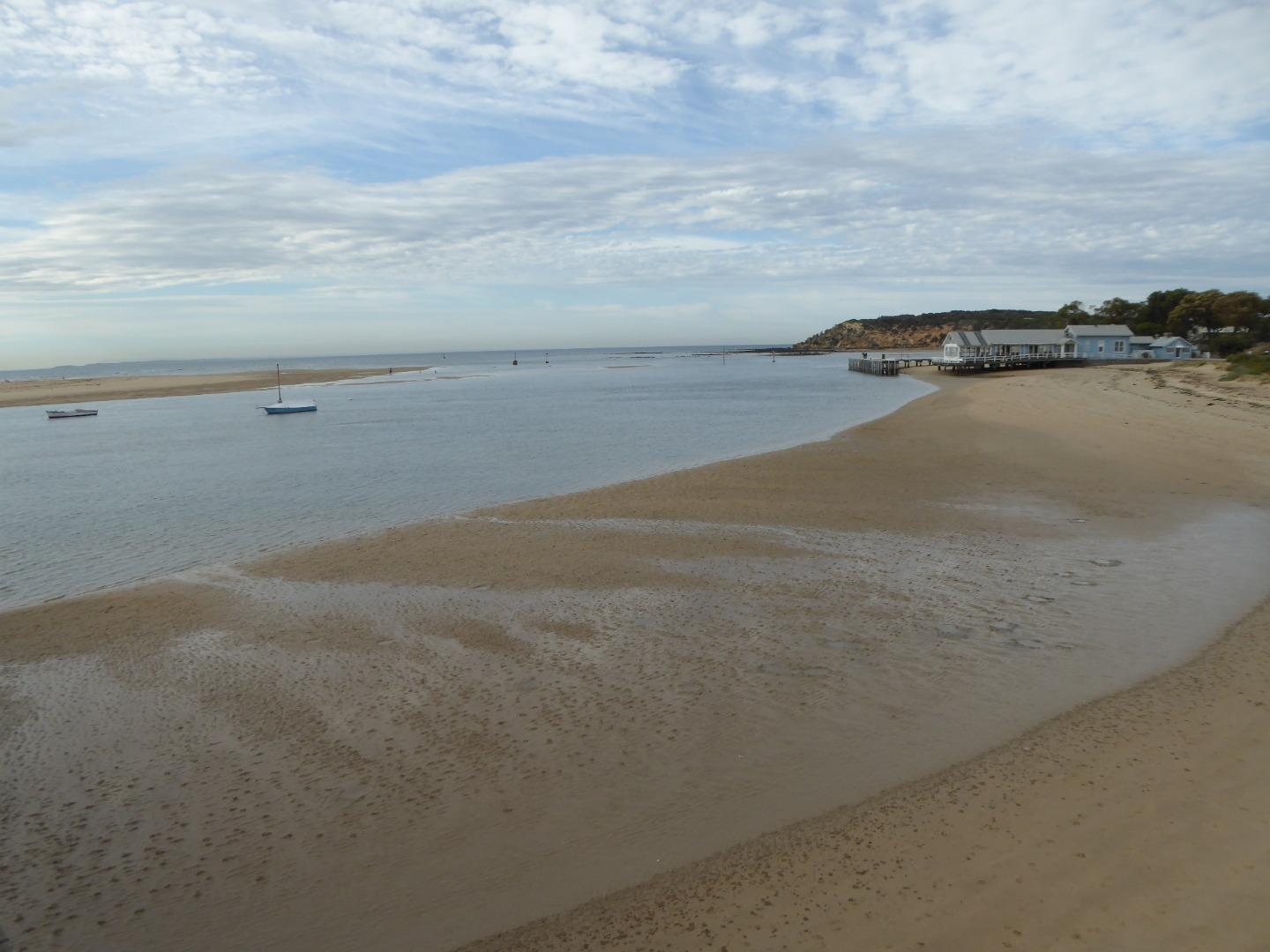
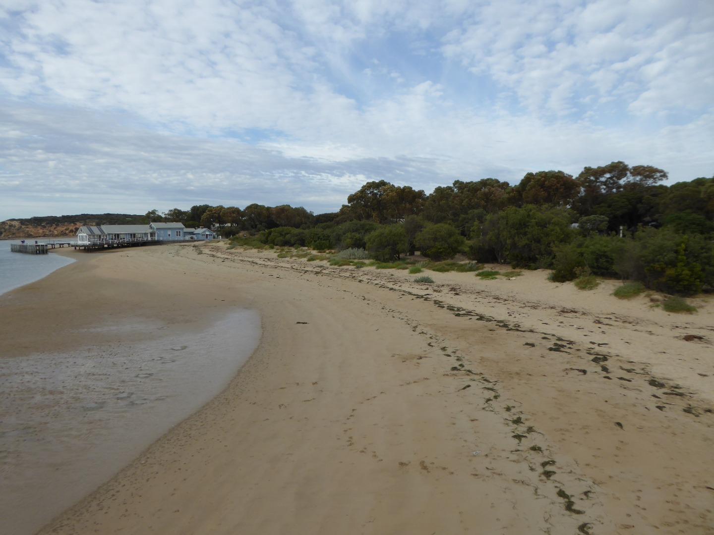
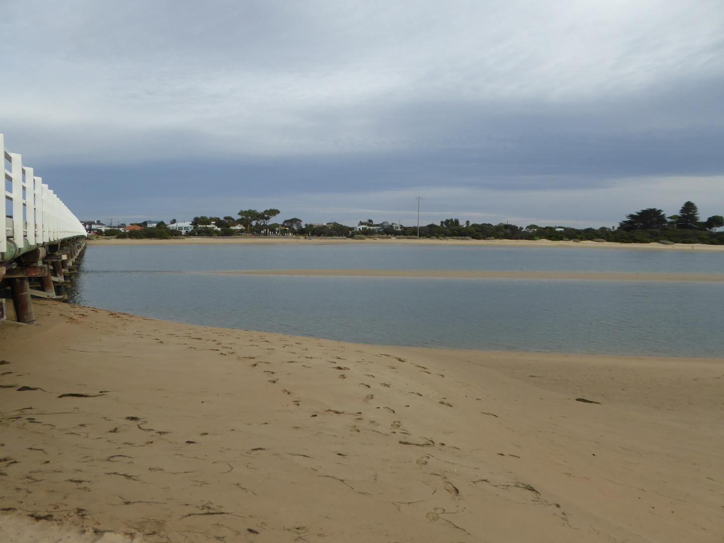
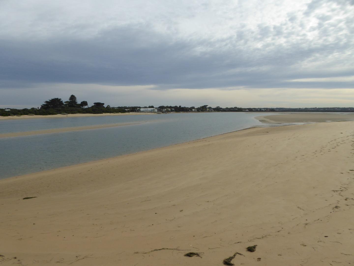
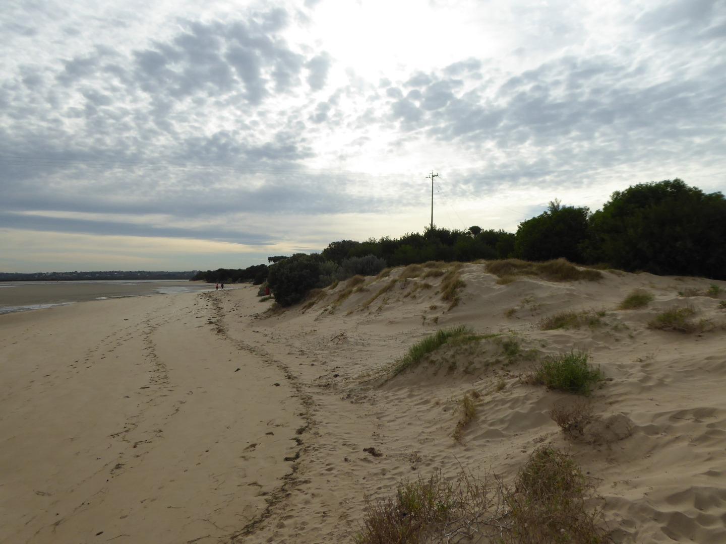
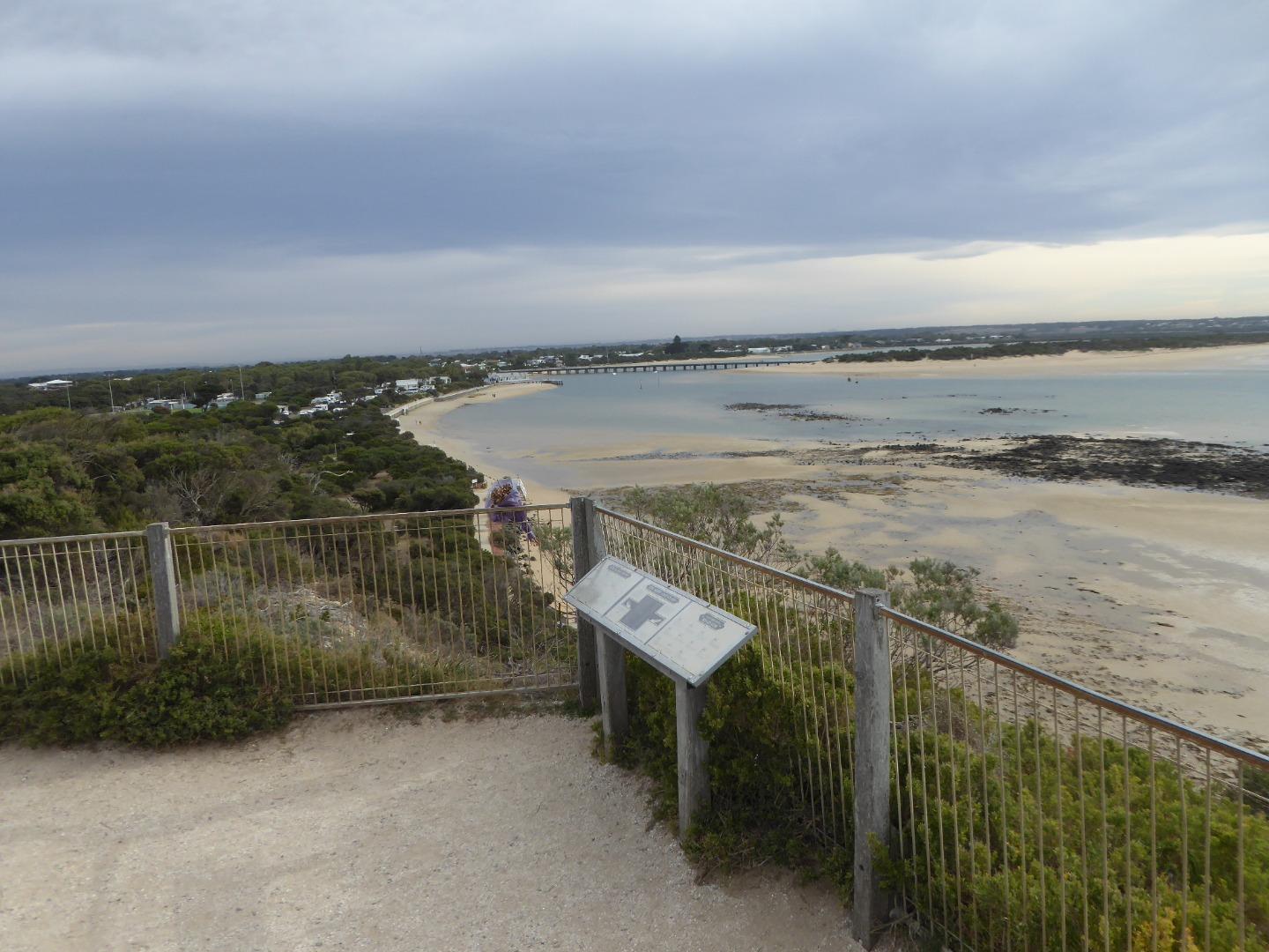
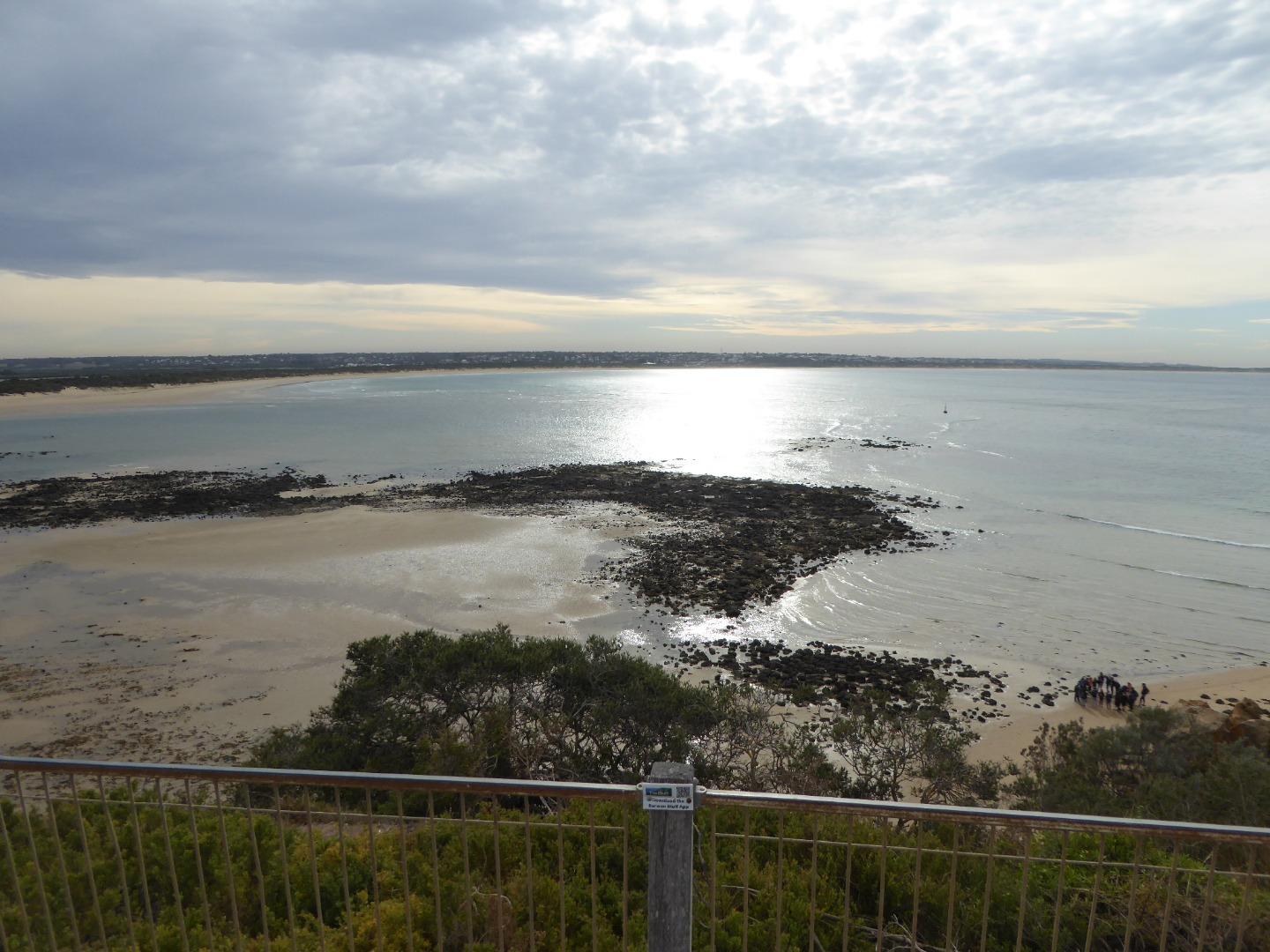
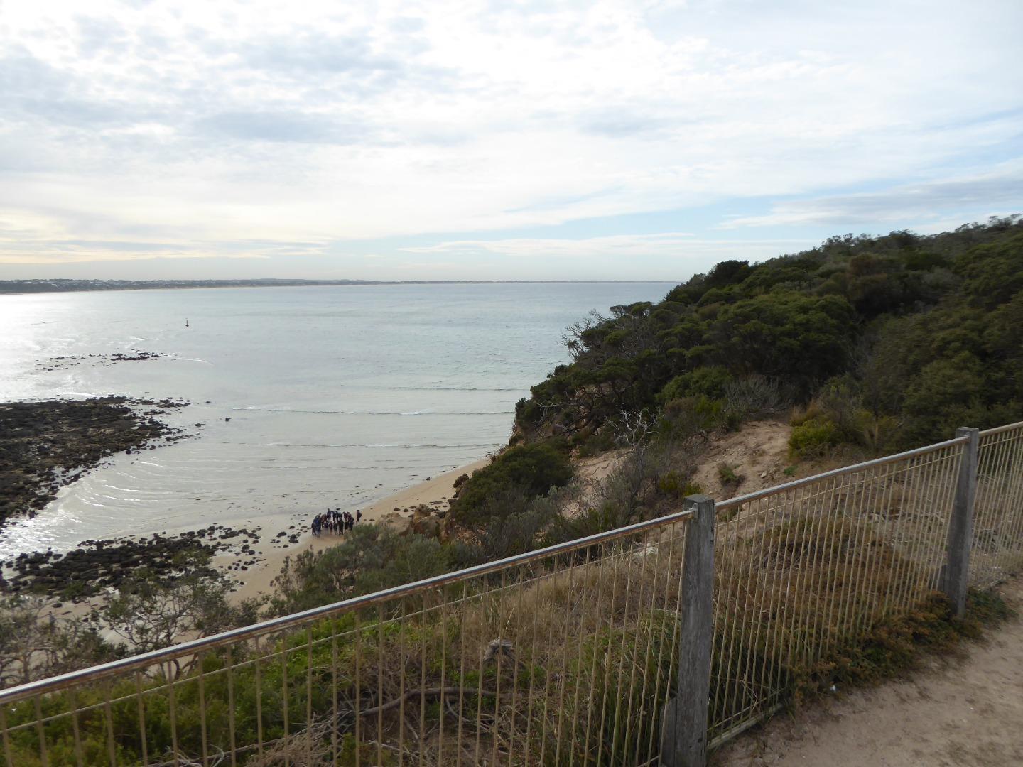
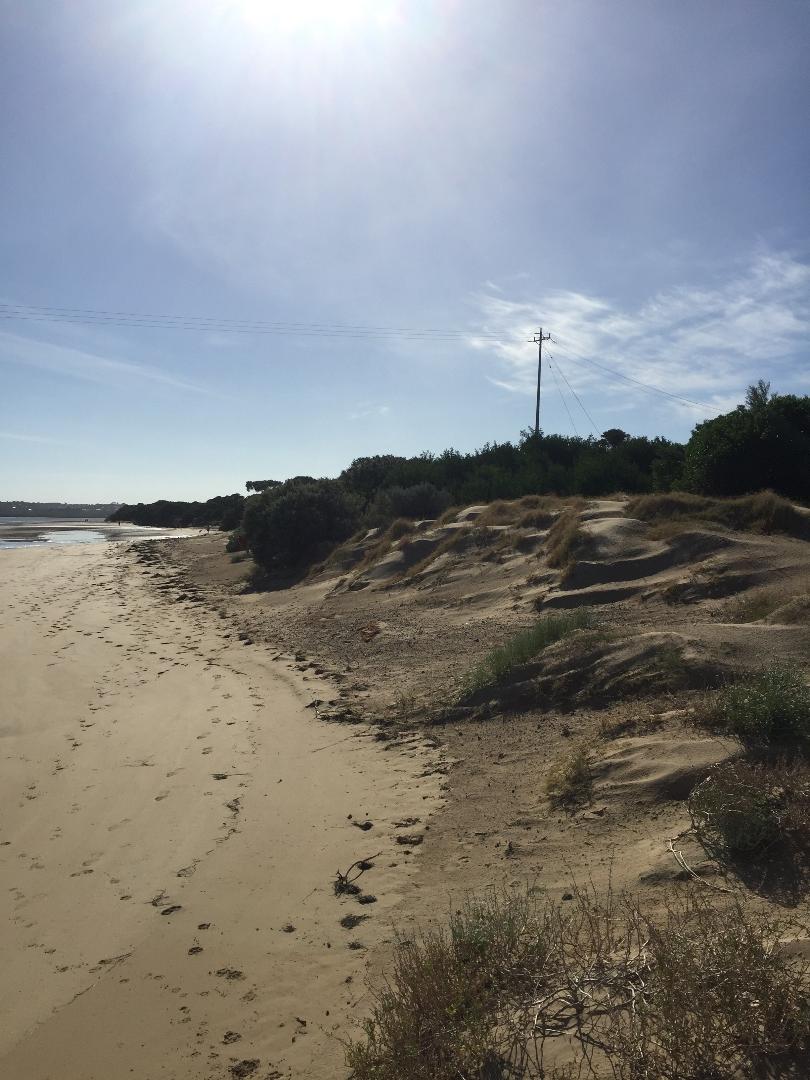
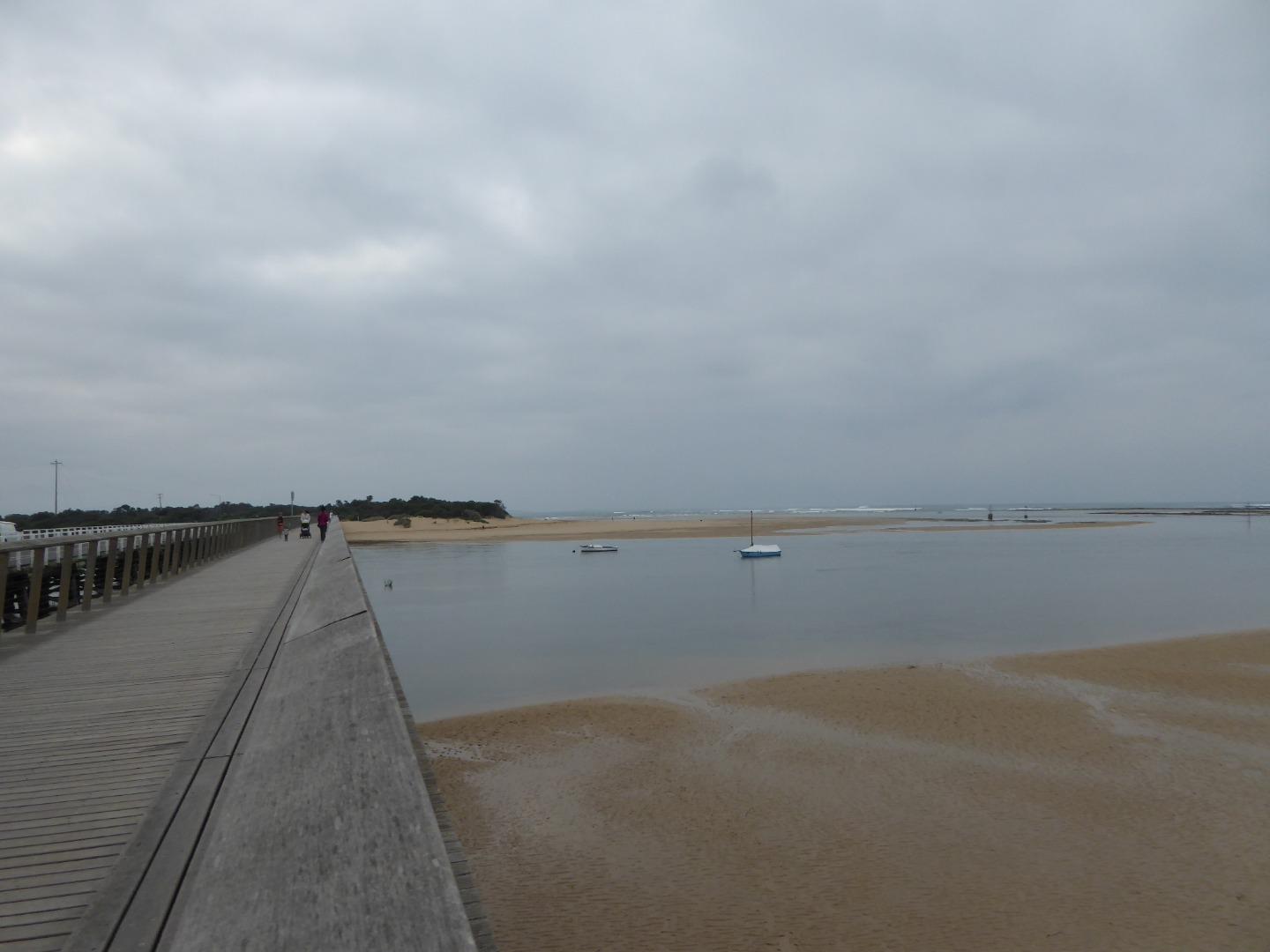
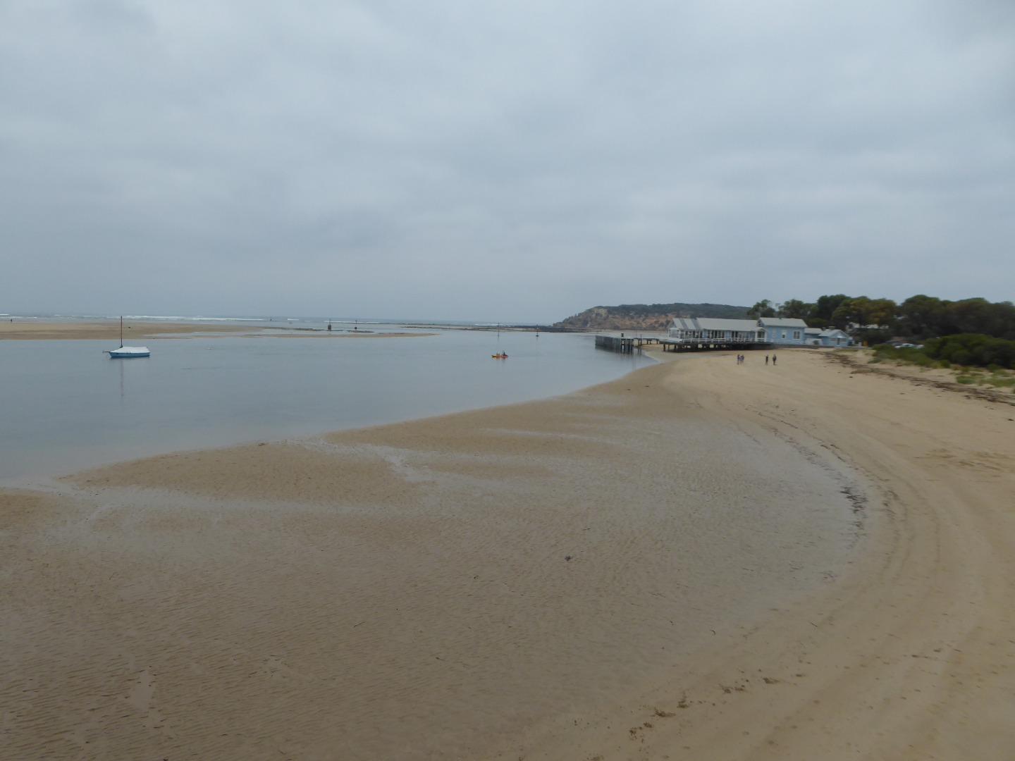
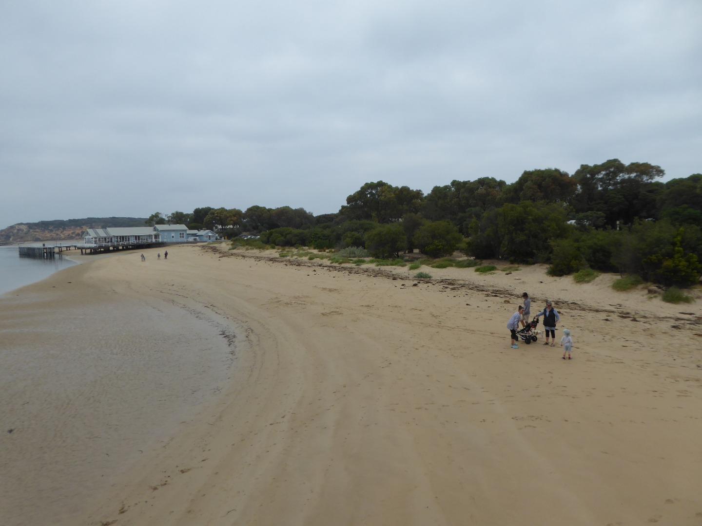
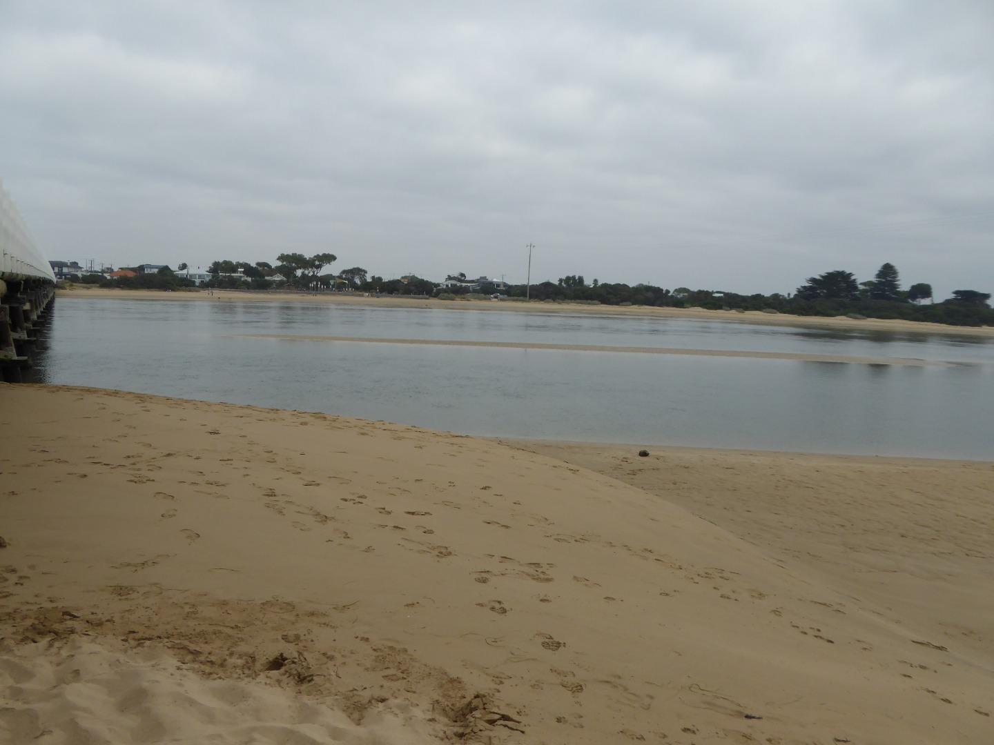
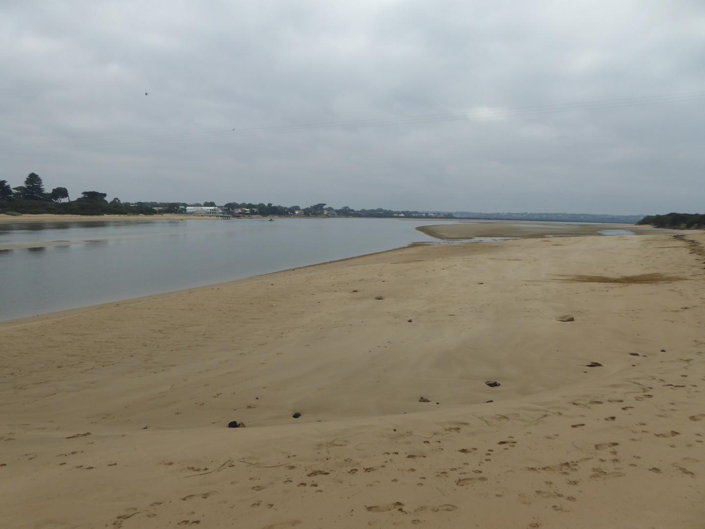
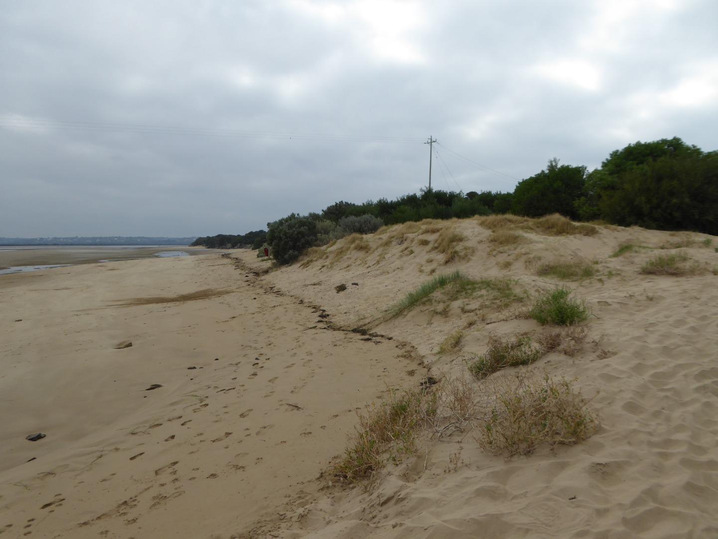
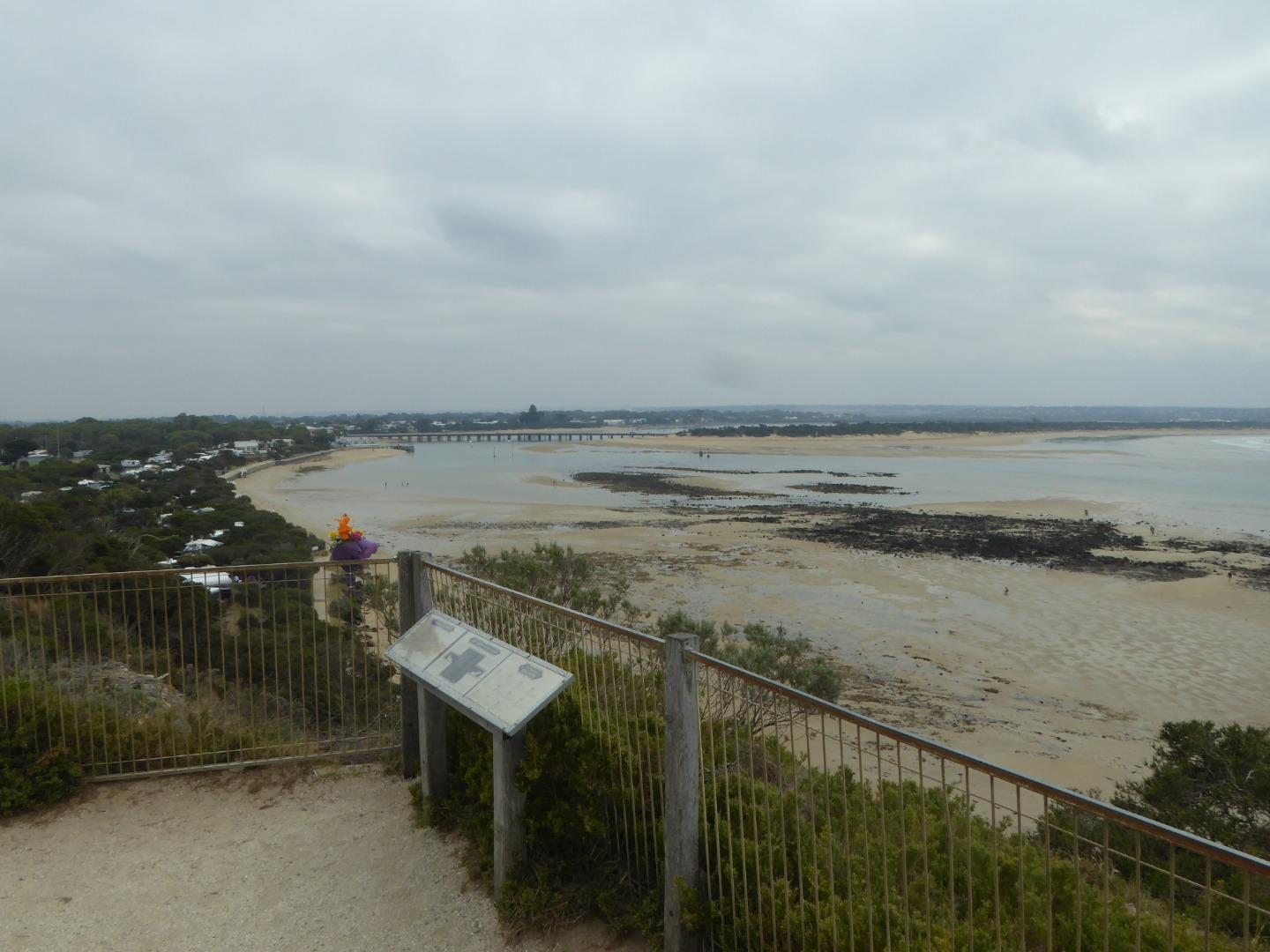
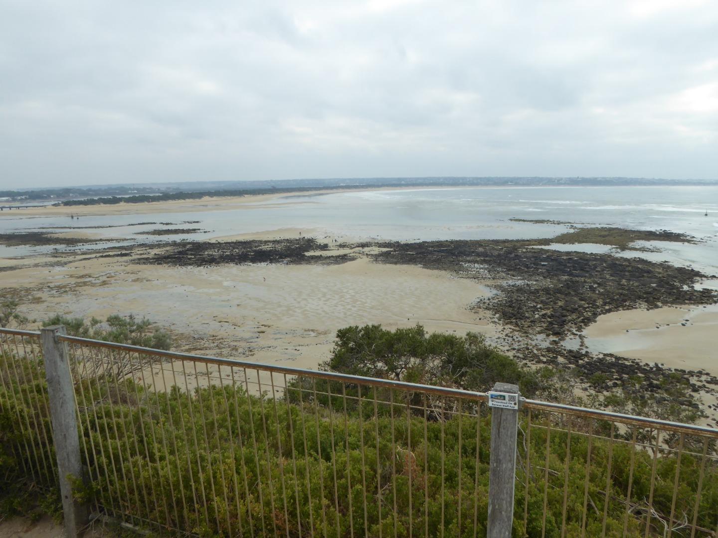
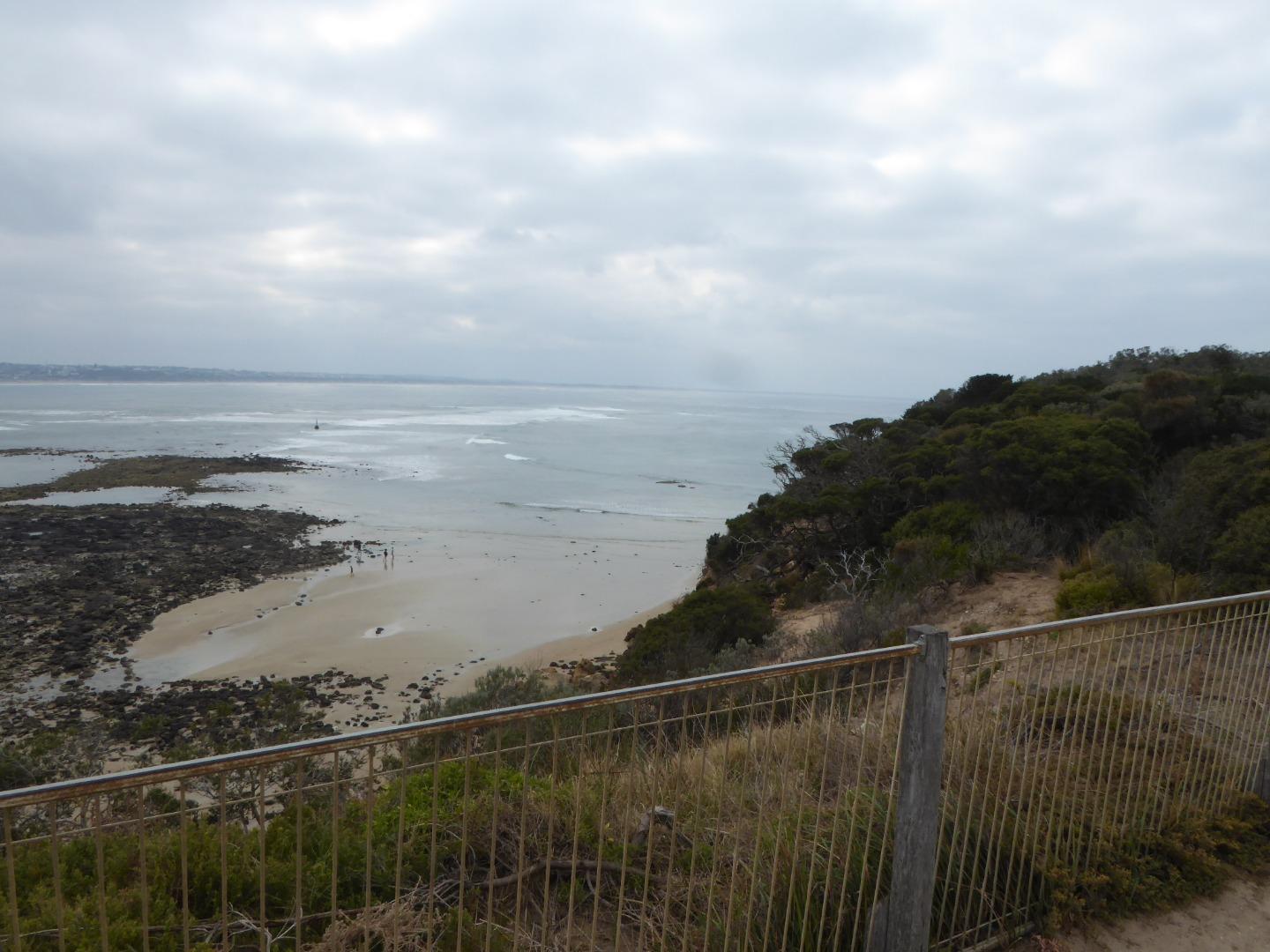
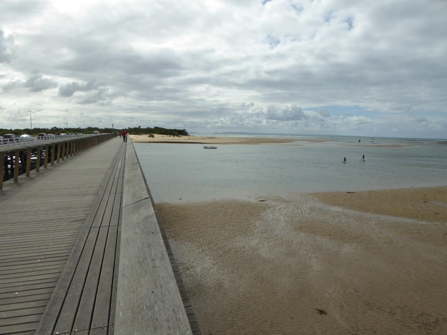
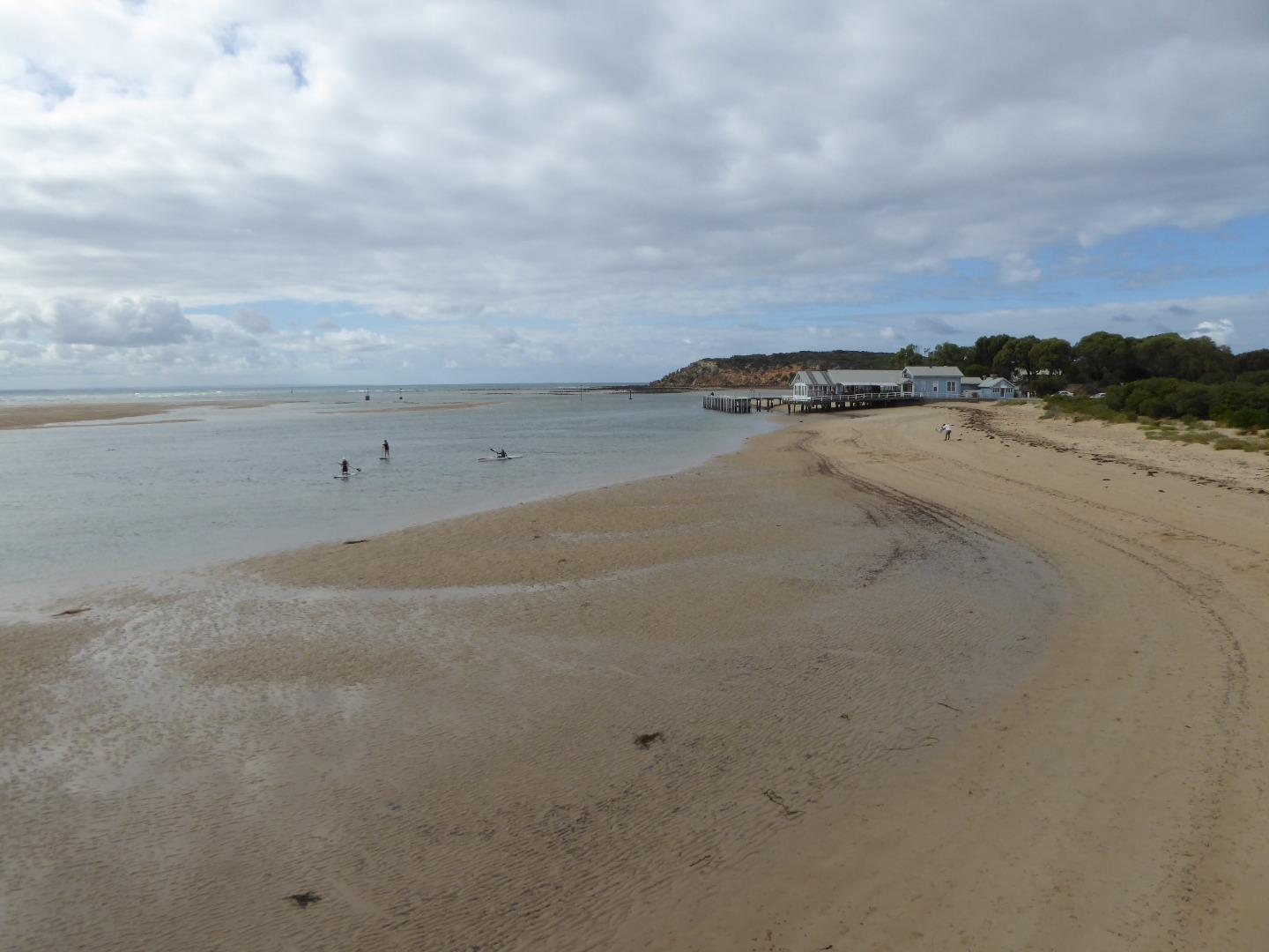
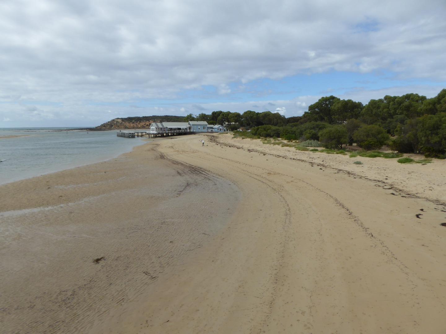
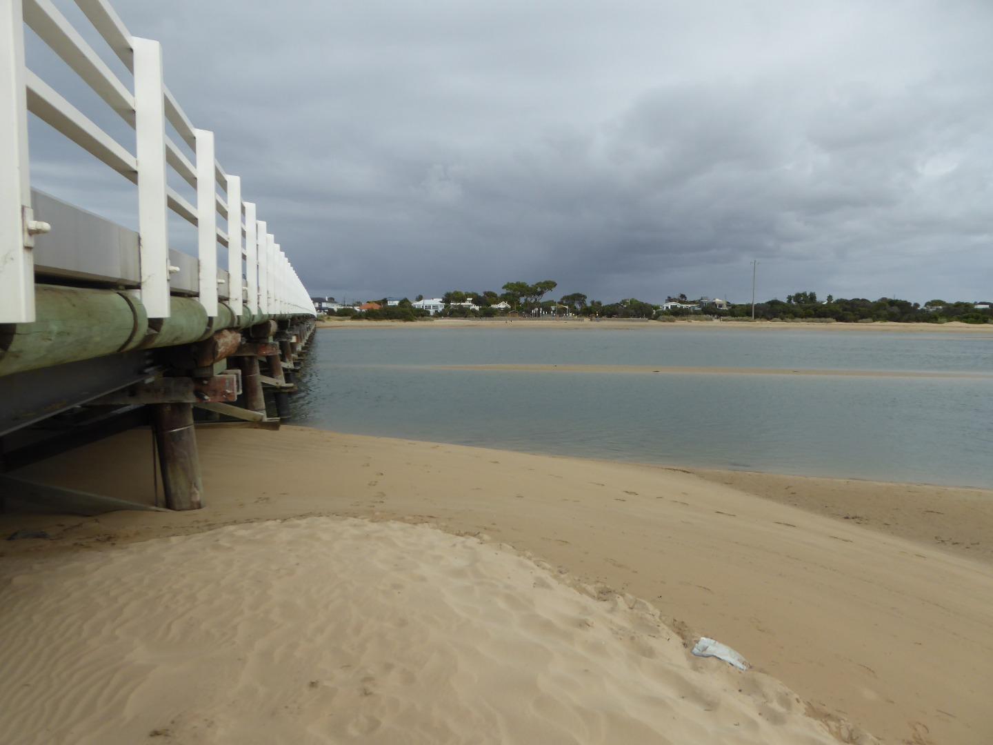
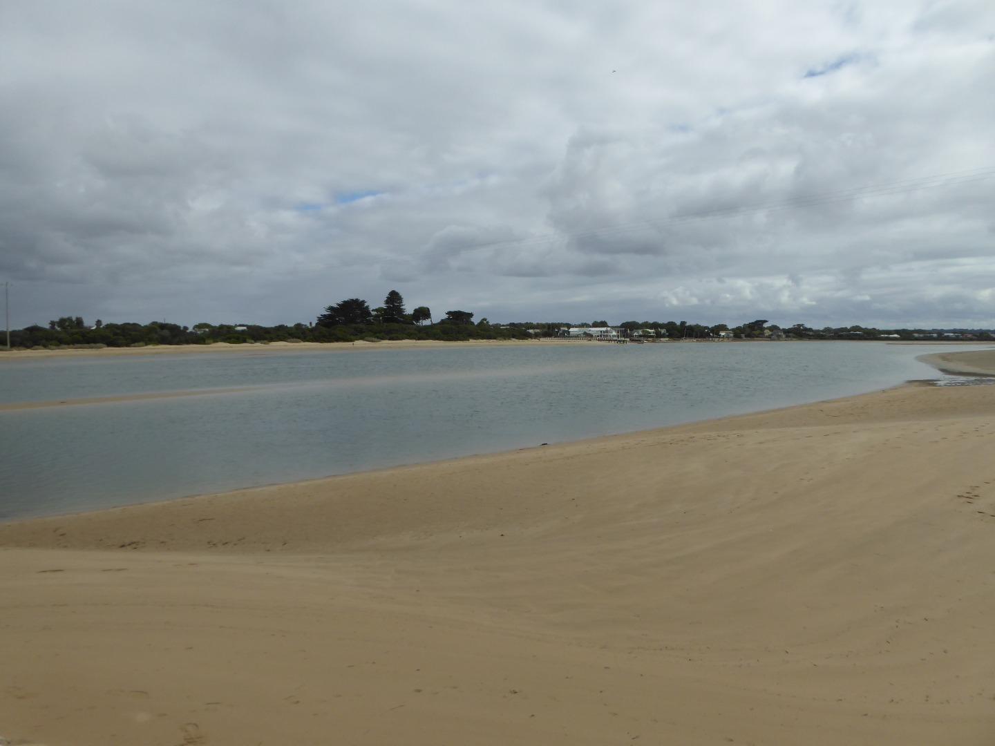
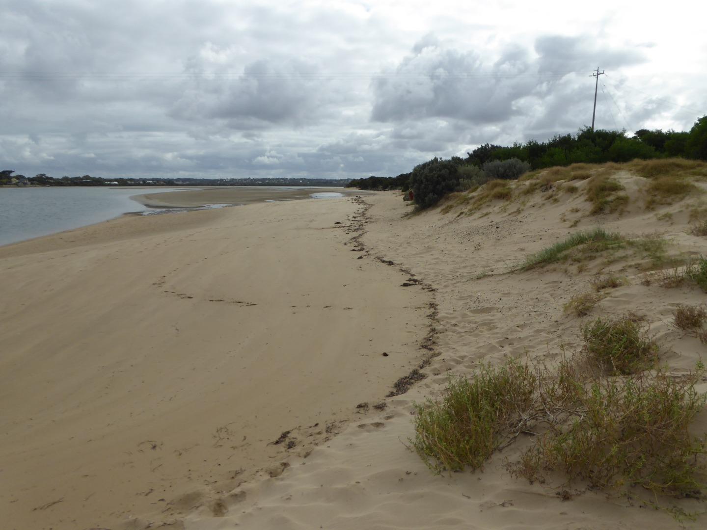
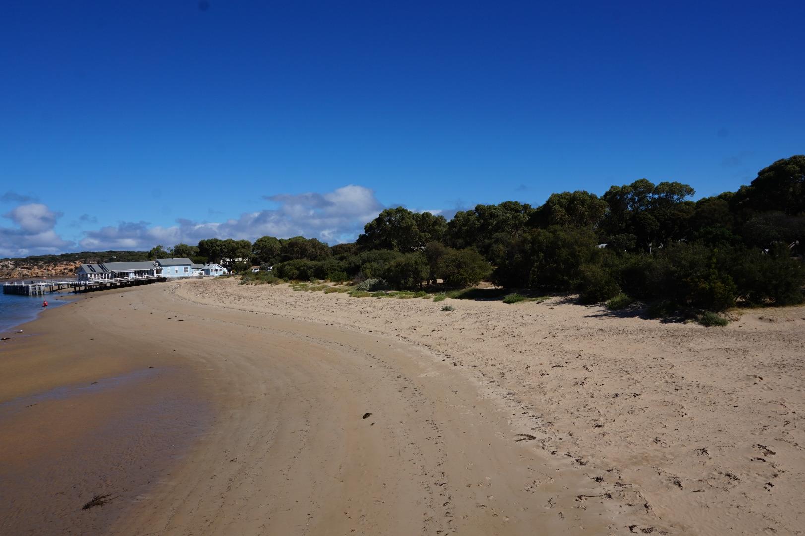
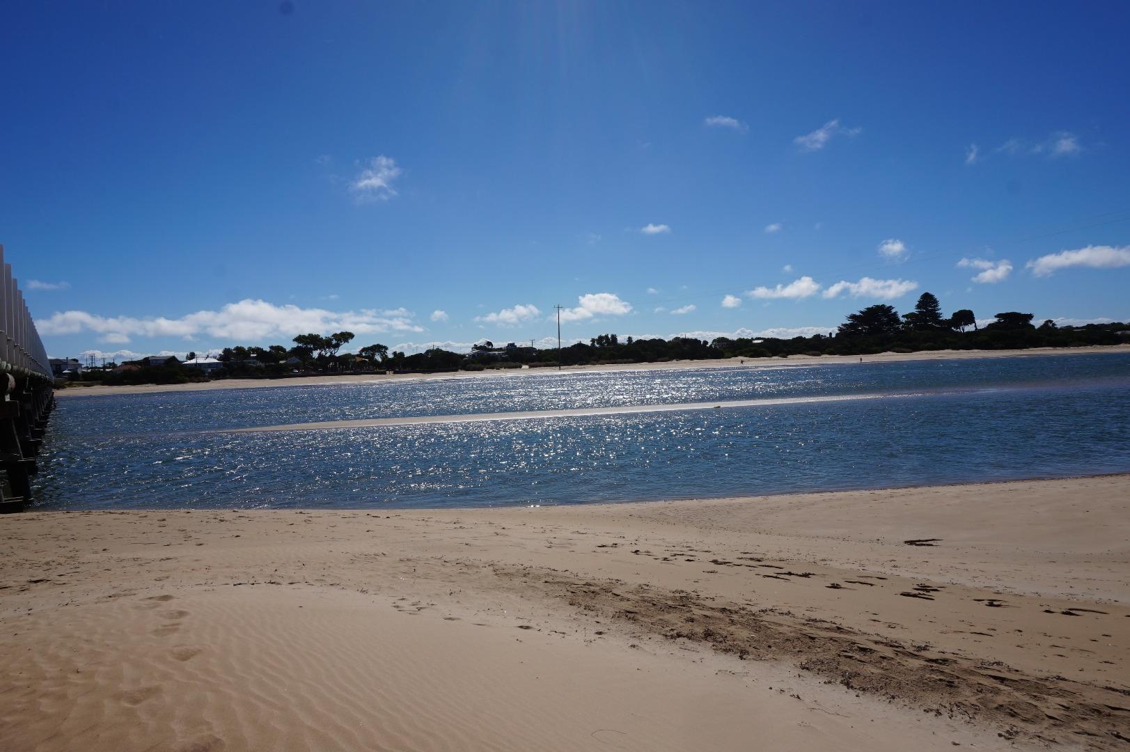
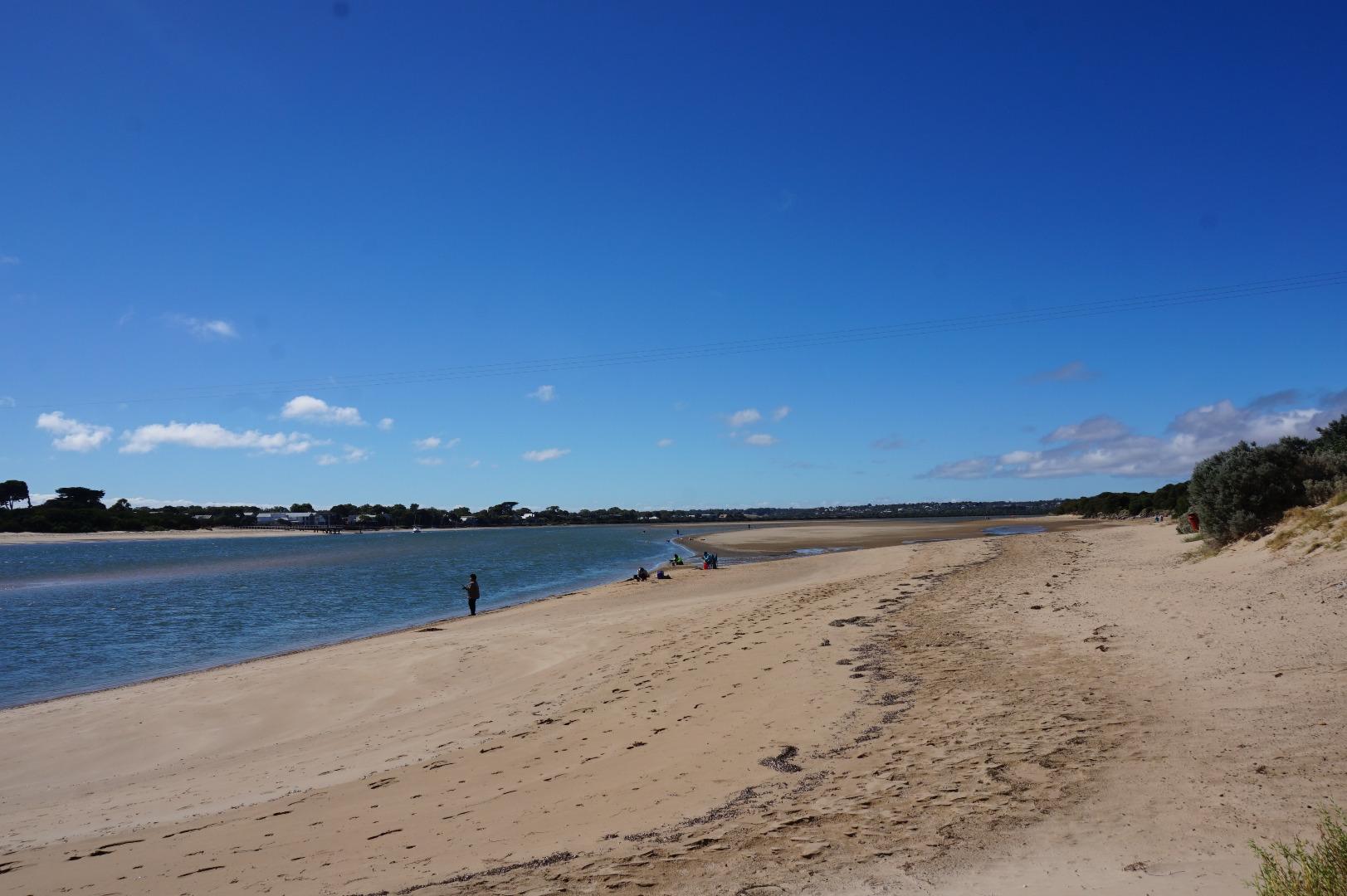
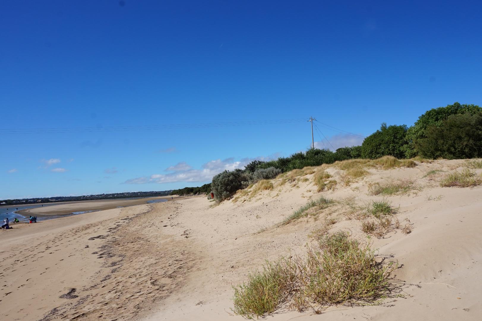
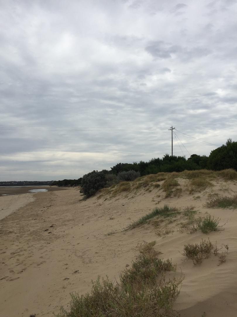
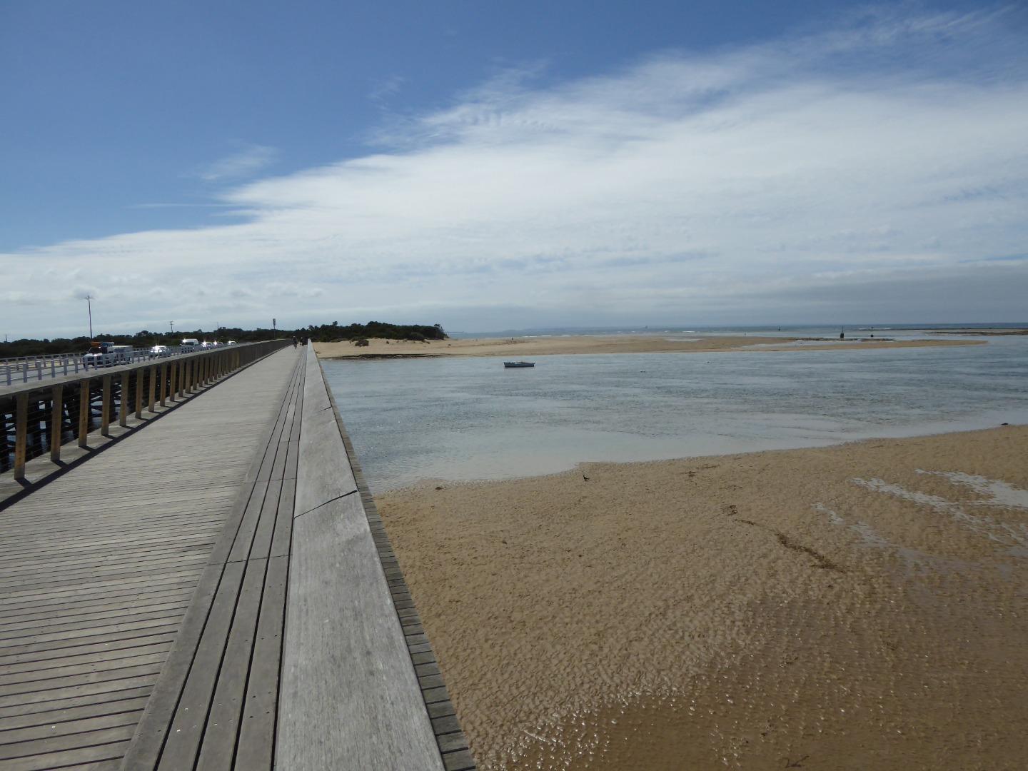
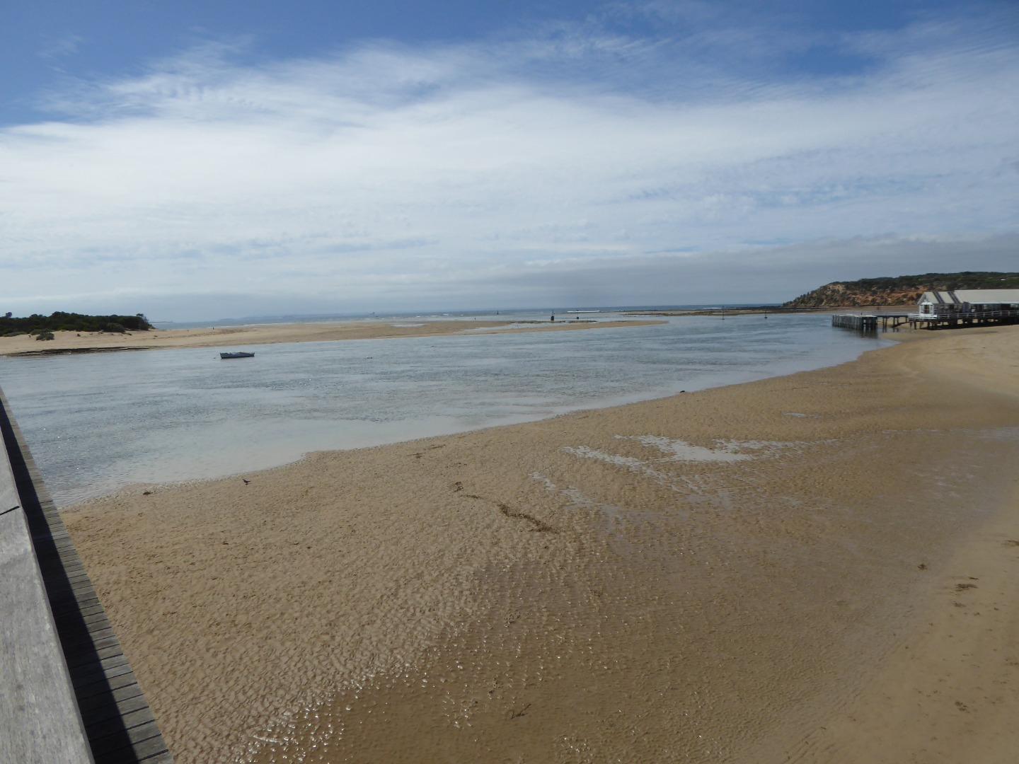
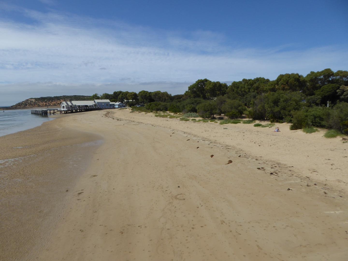
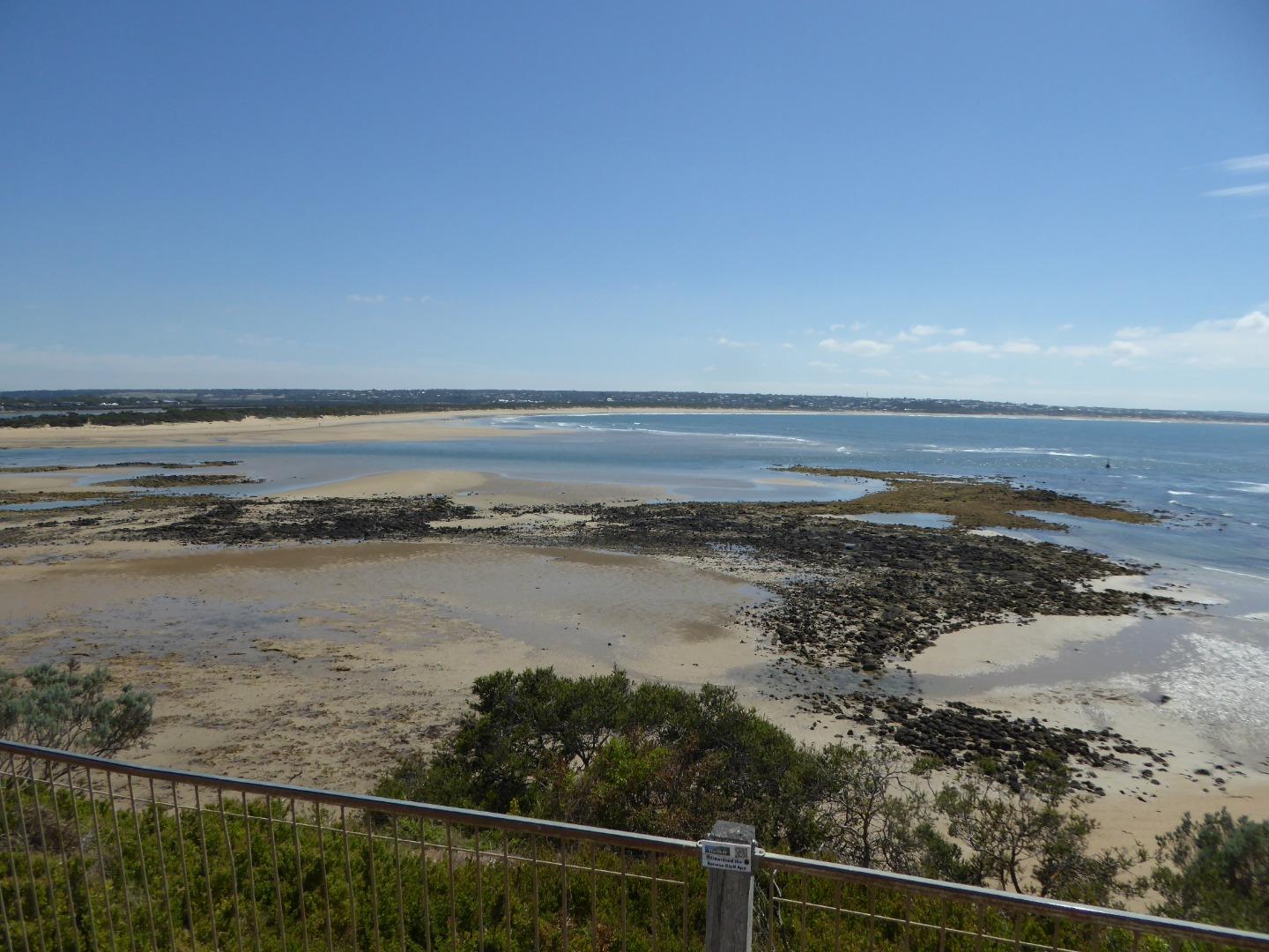
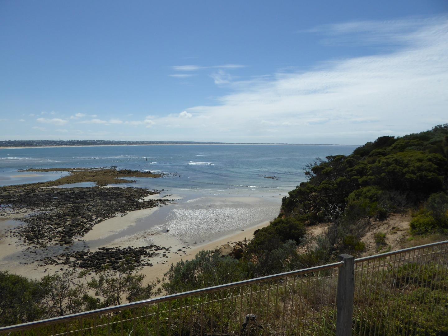
Active Mouth Condition 15-12-2007 - 17-04-2024Barwon River Estuary
| ID | Date | Status | Details | |
|---|---|---|---|---|
| #14234 | 5 Aug 2021 | Approved | ||
| #14187 | 16 Jun 2021 | Approved |
Notes:
Unable to upload photographs correctly |
|
| #14113 | 6 May 2021 | Approved | ||
| #13657 | 5 Mar 2020 | Approved | ||
| #13569 | 6 Feb 2020 | Approved | ||
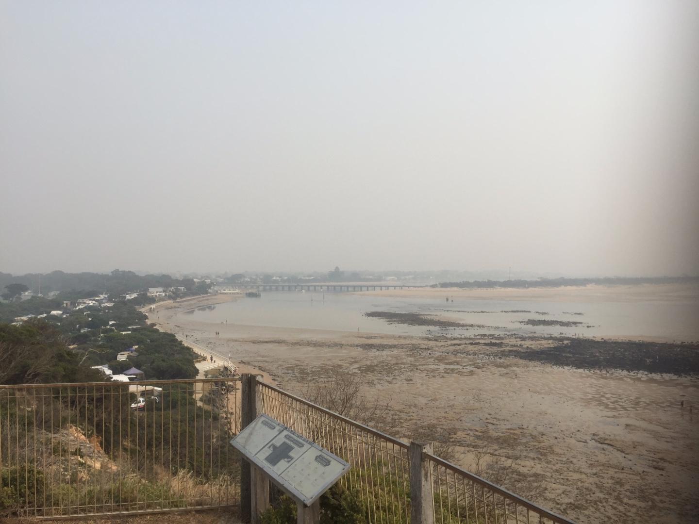
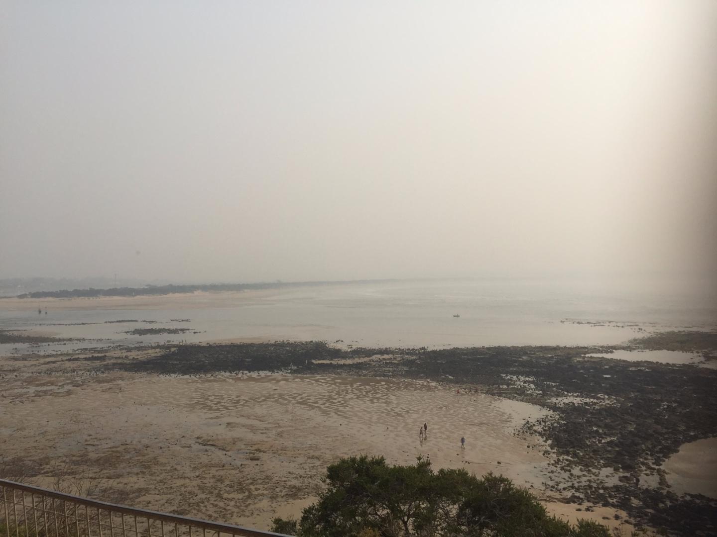
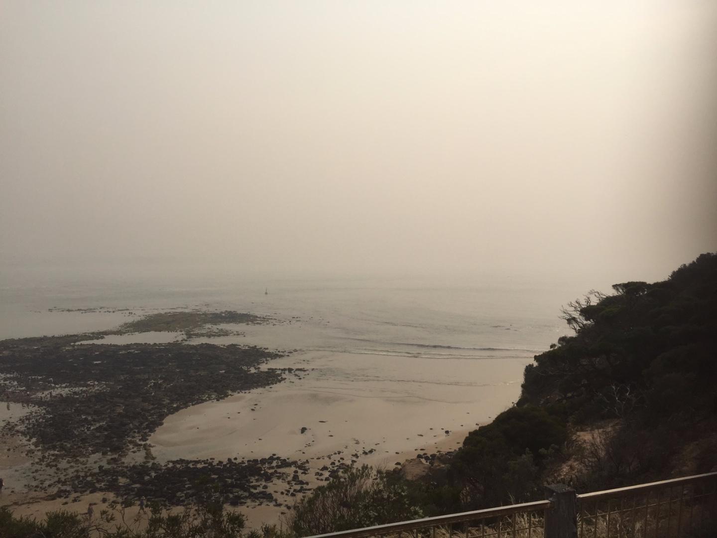
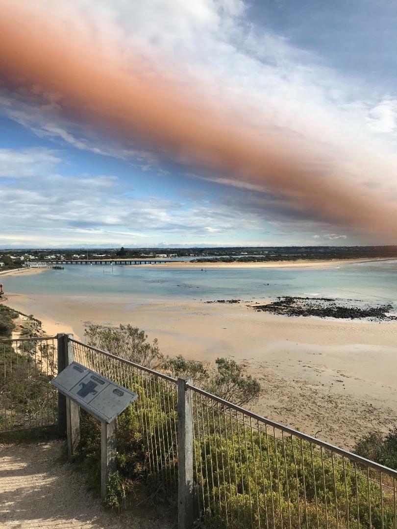
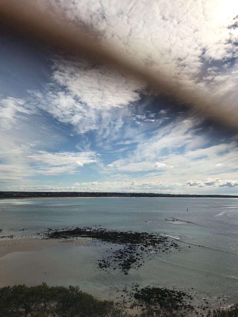
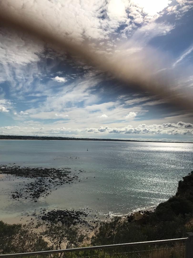
| #13575 | 15 Jan 2020 | Approved |
Notes:
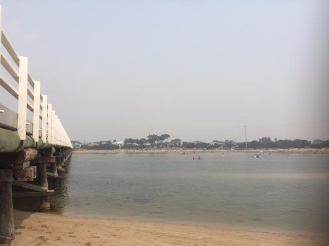
Extreme smoke haze out to sea and along the esturary. |
|
| #13585 | 2 Jan 2020 | Approved | ||
| #13471 | 18 Dec 2019 | Approved | ||
| #13443 | 5 Dec 2019 | Approved | ||
| #13470 | 20 Nov 2019 | Approved | ||
| #13432 | 7 Nov 2019 | Approved | ||
| #13349 | 3 Oct 2019 | Approved | ||
| #13325 | 18 Sep 2019 | Approved | ||
| #13311 | 5 Sep 2019 | Approved | ||
| #13310 | 21 Aug 2019 | Approved | ||
| #13259 | 1 Aug 2019 | Approved | ||
| #13214 | 22 Jul 2019 | Approved |
Notes:
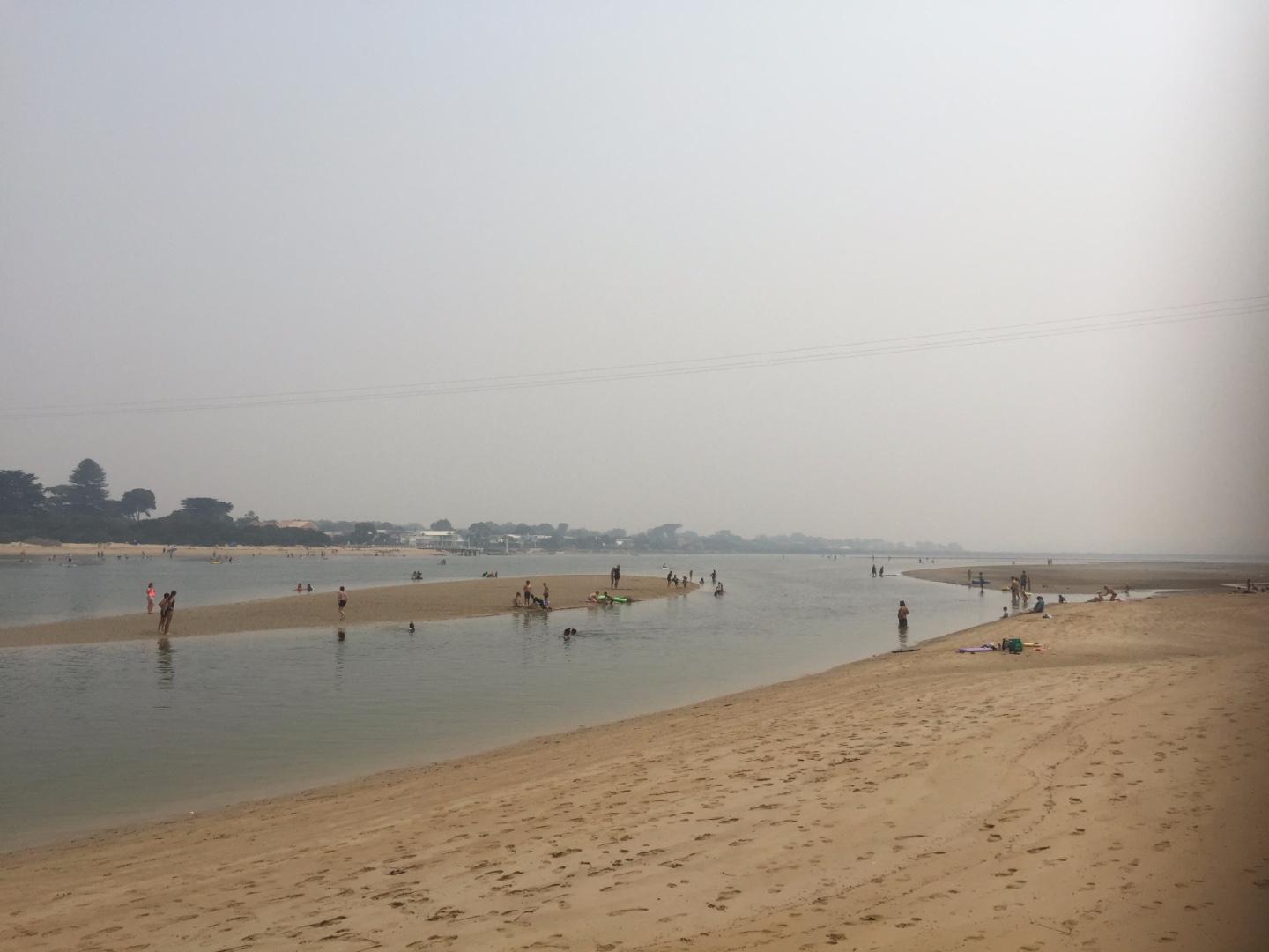
Mouth conditions 5 days after water testing on Wednesday 17th July. Quite dramatic delineation of incoming sea water against brwon river water from recent rains. |
|
| #13179 | 4 Jul 2019 | Approved | ||
| #13190 | 6 Jun 2019 | Approved |
         |
|
| #13102 | 15 May 2019 | Approved | ||
| #13100 | 2 May 2019 | Approved | ||
| #12855 | 17 Apr 2019 | Approved |
         |
|
| #12854 | 4 Apr 2019 | Approved | ||
| #12853 | 20 Mar 2019 | Approved | ||
| #12753 | 7 Mar 2019 | Approved | ||
| #12726 | 20 Feb 2019 | Approved | ||
| #12687 | 7 Feb 2019 | Approved | ||
| #12650 | 16 Jan 2019 | Approved | ||
| #12617 | 3 Jan 2019 | Approved | ||
| #12621 | 19 Dec 2018 | Approved | ||
| #12588 | 6 Dec 2018 | Approved | ||
| #12590 | 21 Nov 2018 | Approved | ||
| #12529 | 1 Nov 2018 | Pending | ||
| #12448 | 17 Oct 2018 | Approved |
Notes:
Heavy sand build up west side of river near bridge. Photos not the best! |
|
| #12401 | 19 Sep 2018 | Approved | ||
| #12378 | 6 Sep 2018 | Approved | ||
| #12366 | 15 Aug 2018 | Approved | ||
| #12307 | 2 Aug 2018 | Approved |
Notes:
Water level gauge in sand |
|
| #12330 | 18 Jul 2018 | Approved |
Notes:
Water level unobtainable due to pier being sand bound. |
|
| #12246 | 5 Jul 2018 | Approved | ||
| #12183 | 20 Jun 2018 | Approved |
Notes:
Water level at jetty below level of gauge board. Build up of sand under and onto road bridge on Ocean Grove side at BP2 |
|
| #12119 | 7 Jun 2018 | Approved |
Notes:
could not record water levels as gauge dry. |
|
| #12054 | 16 May 2018 | Approved |
Notes:
build up of sand under bridge bp2 |
|
| #12021 | 3 May 2018 | Approved | ||
| #11976 | 18 Apr 2018 | Approved | ||
| #12005 | 5 Apr 2018 | Approved |
Notes:
Tide heights are estimates as water level is below the bottom of the gauge board |
|
| #11886 | 5 Mar 2018 | Approved |
Notes:
Photos have been taken without compass direction charts. Some photos will be slightly misaligned. |
|
| #11840 | 1 Mar 2018 | Approved |
Notes:
Could not read water level height as gauge out of water. |
|
| #11830 | 21 Feb 2018 | Approved | ||
| #11823 | 5 Feb 2018 | Approved |
Notes:
Tide heights are estimates as water level is below all markings on gauge board. |
|


All content, files, data and images provided by the EstuaryWatch Data Portal and Gallery are subject to a Creative Commons Attribution License
Content is made available to be used in any way, and should always attribute EstuaryWatch and www.estuarywatch.org.au