EstuaryWatch Data Portal
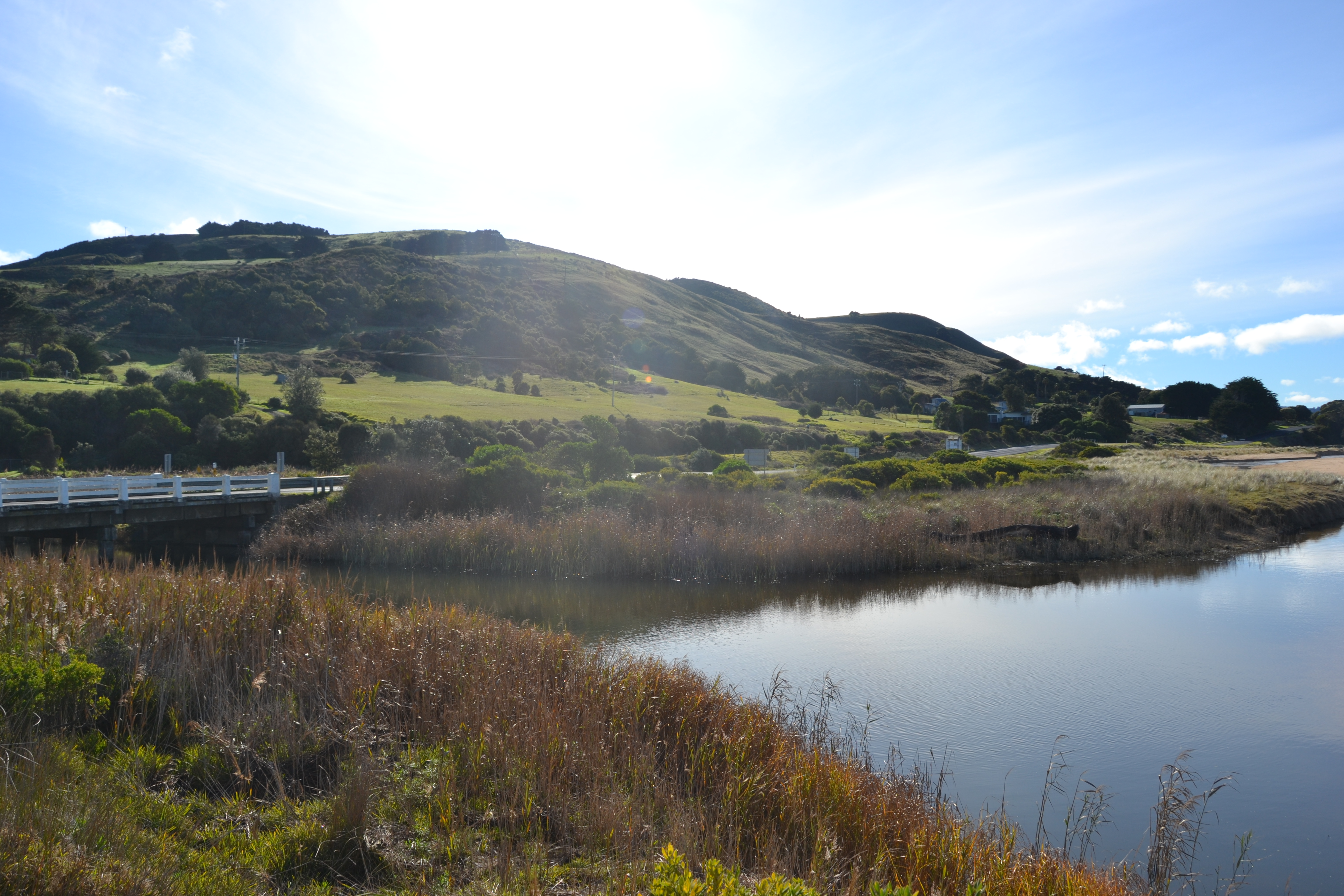
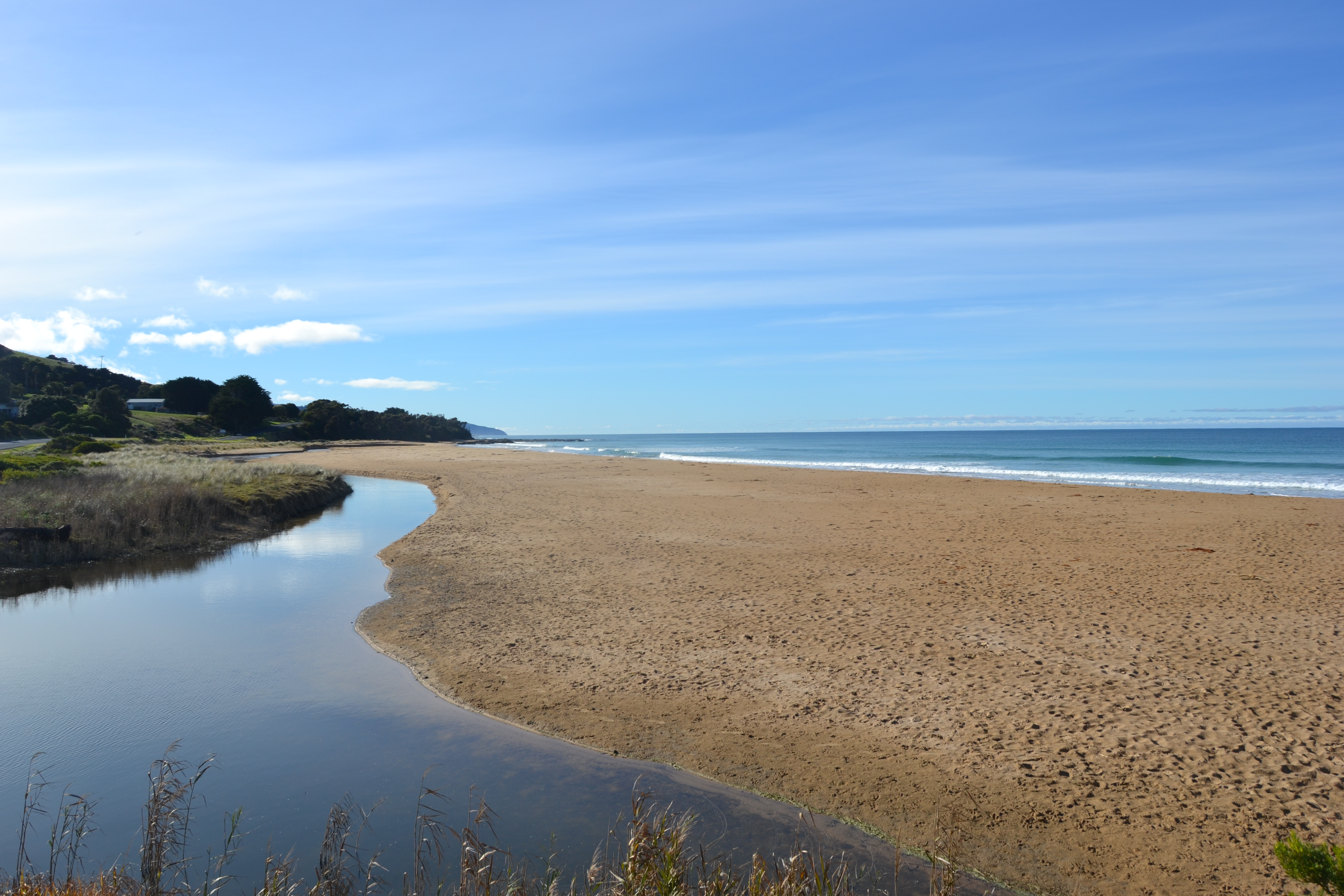
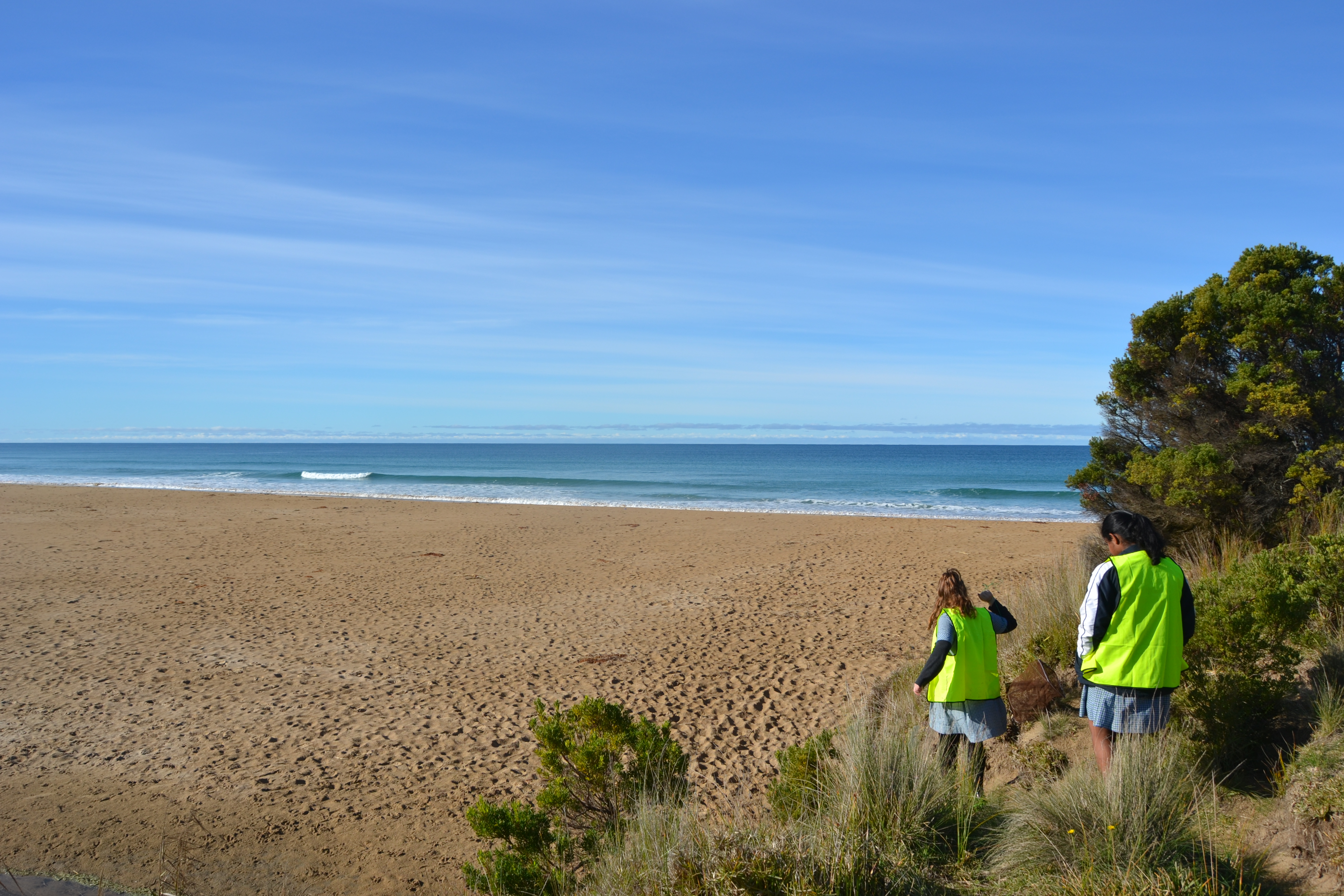
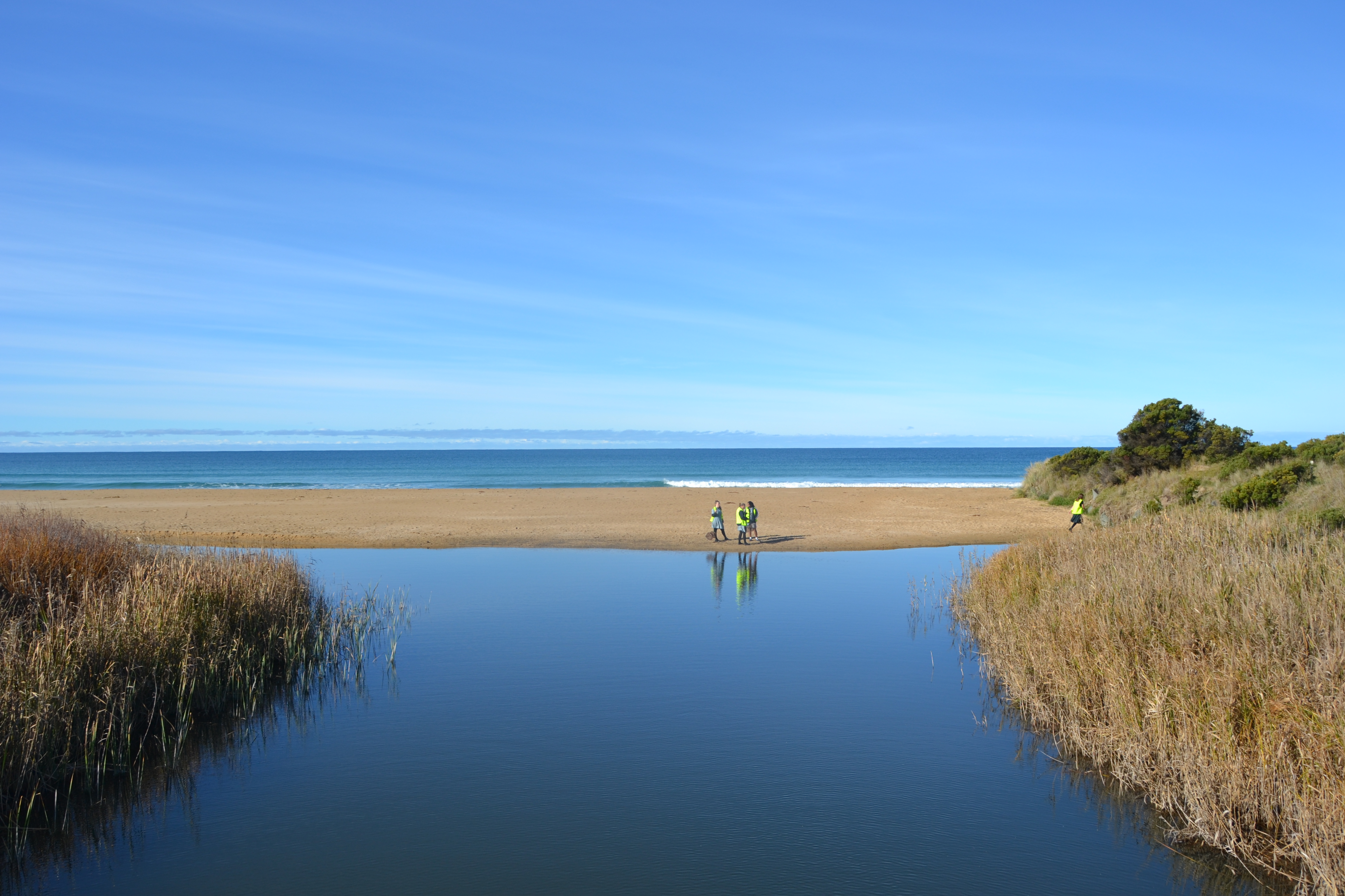
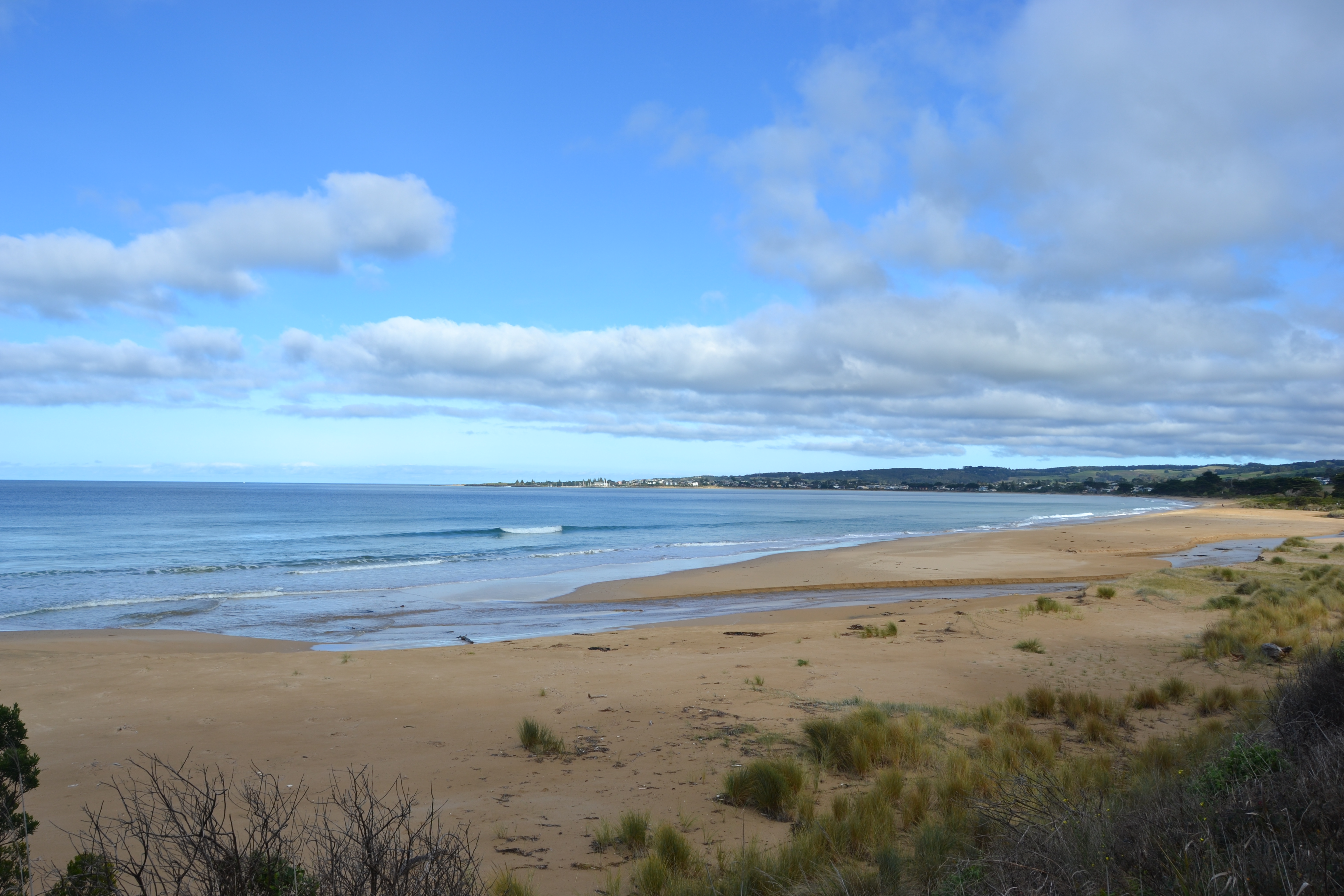
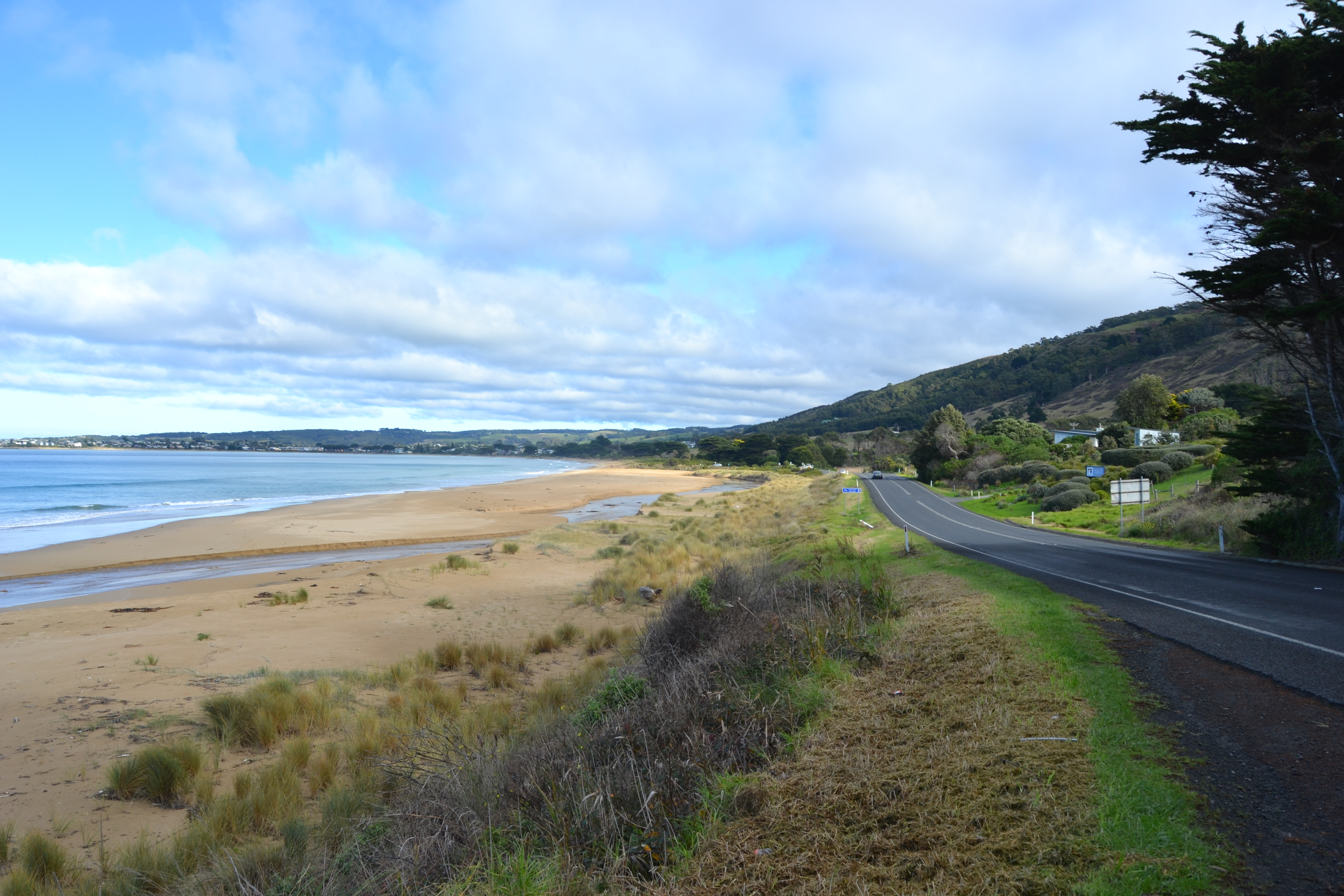
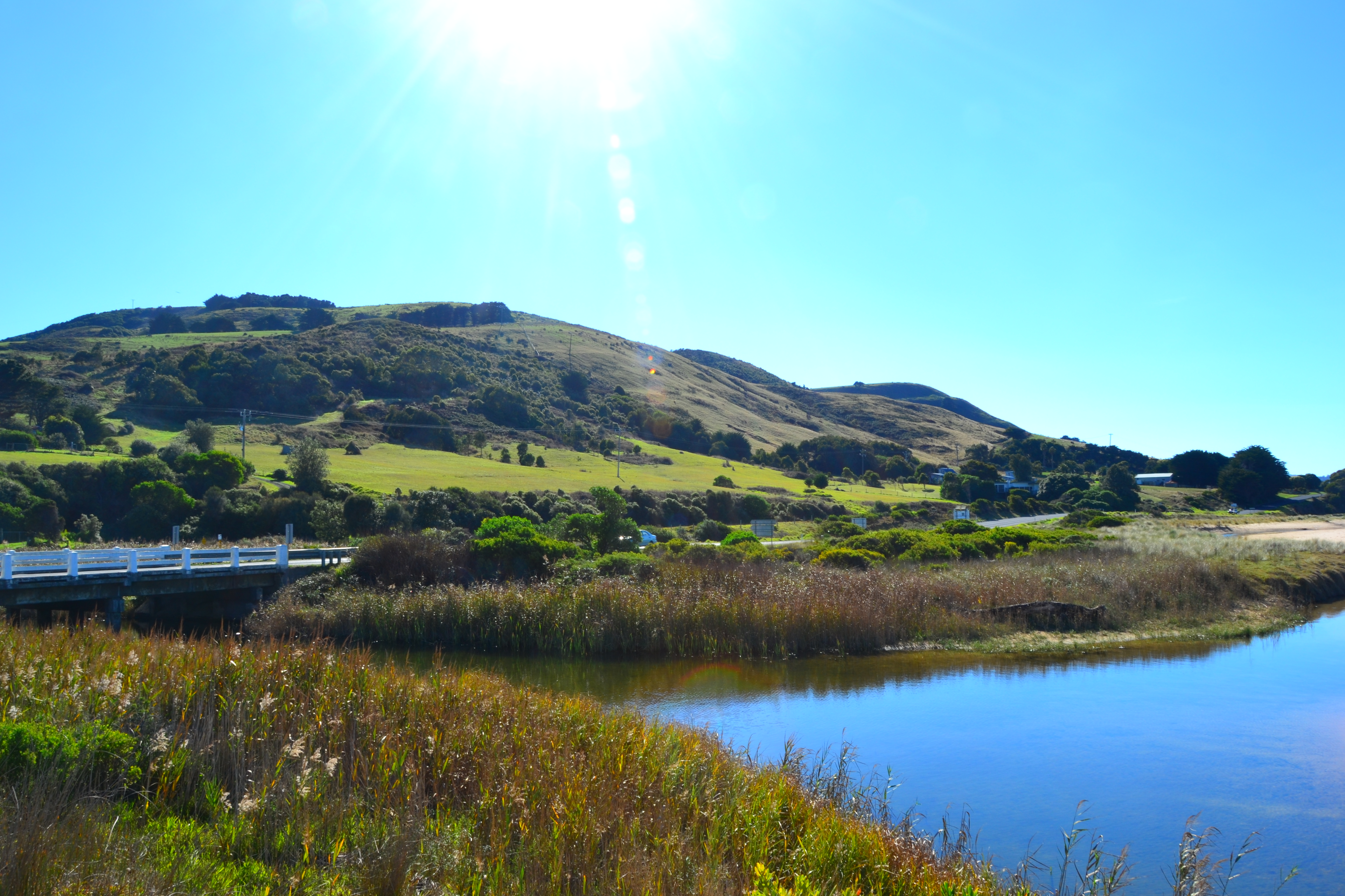
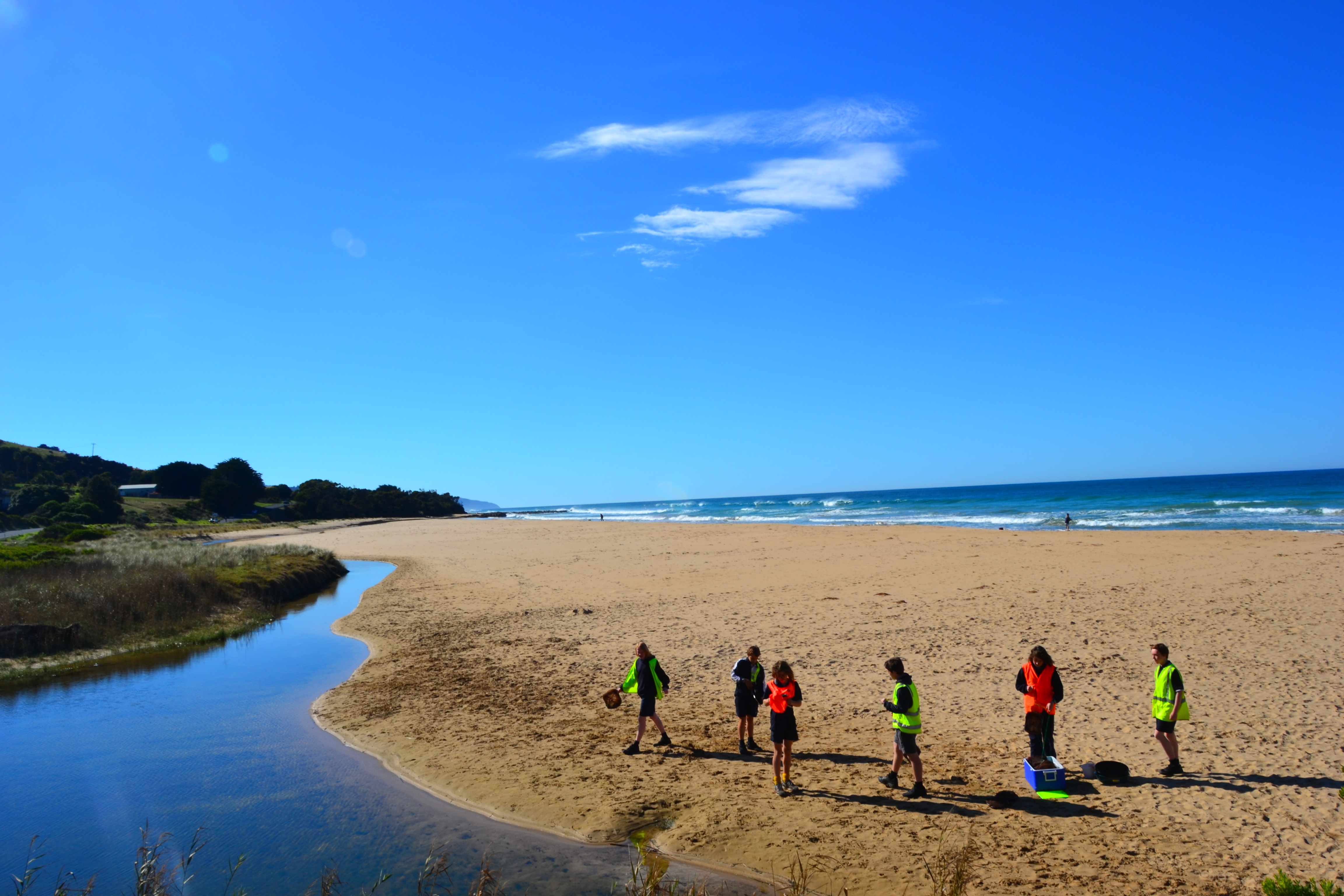
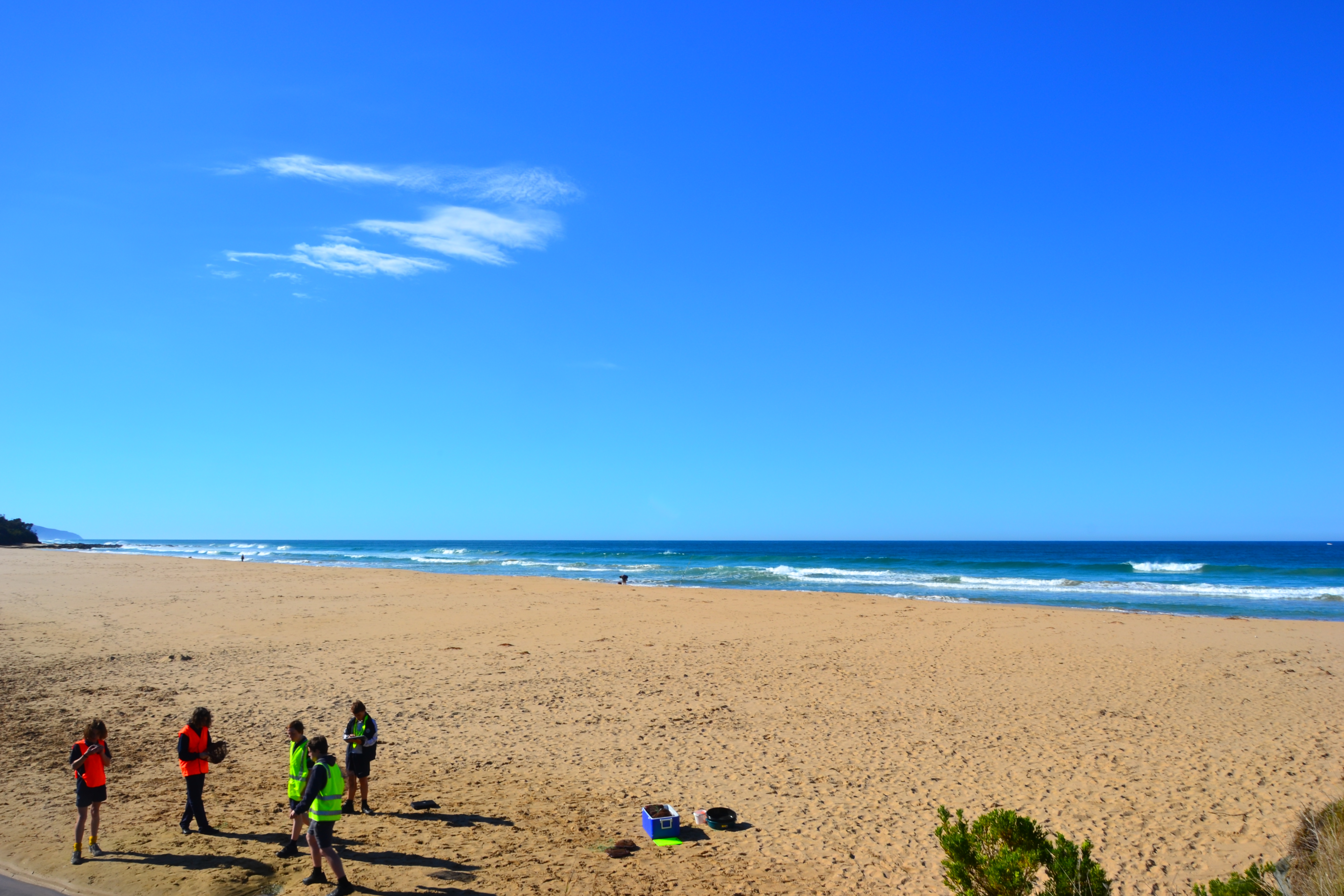
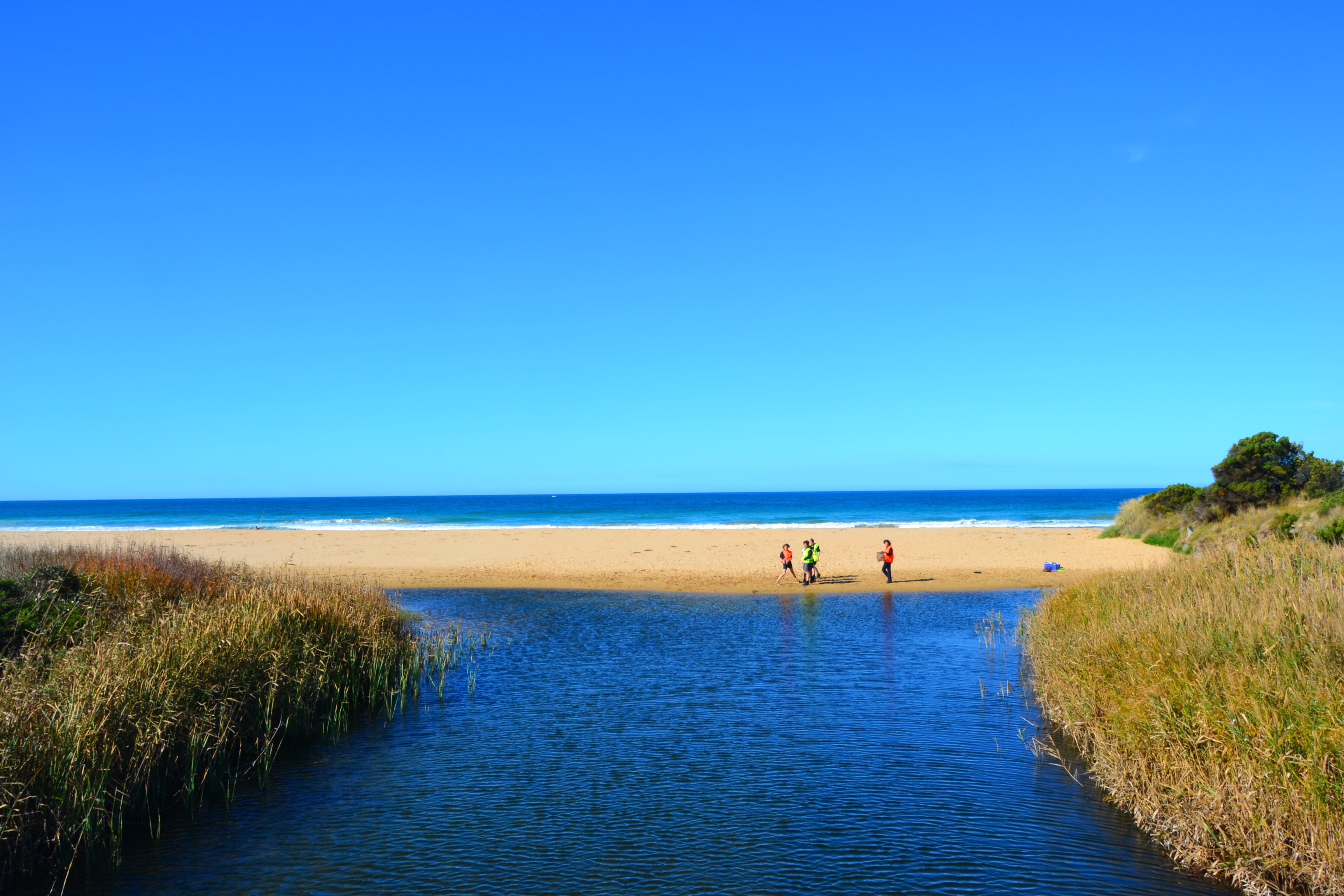
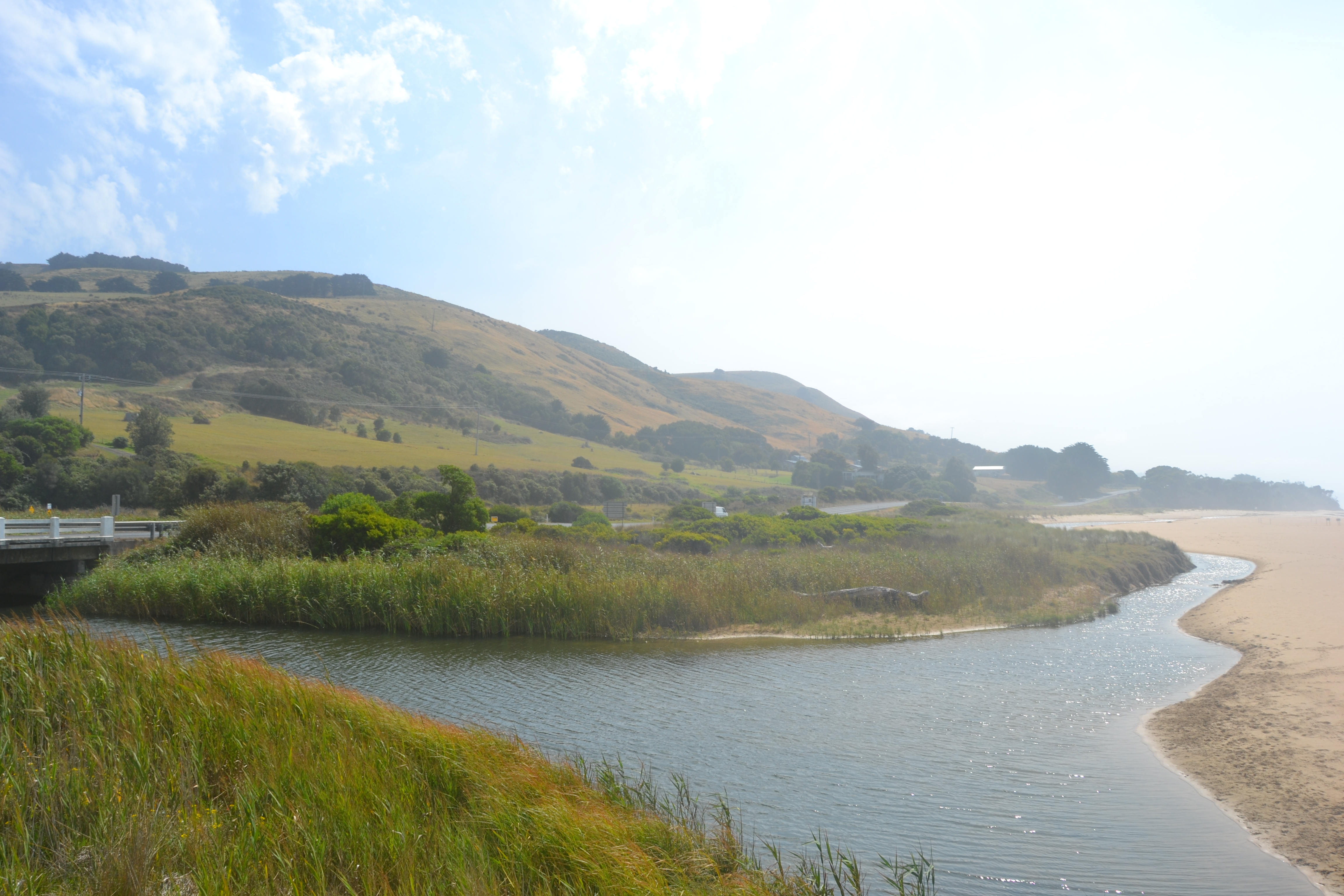
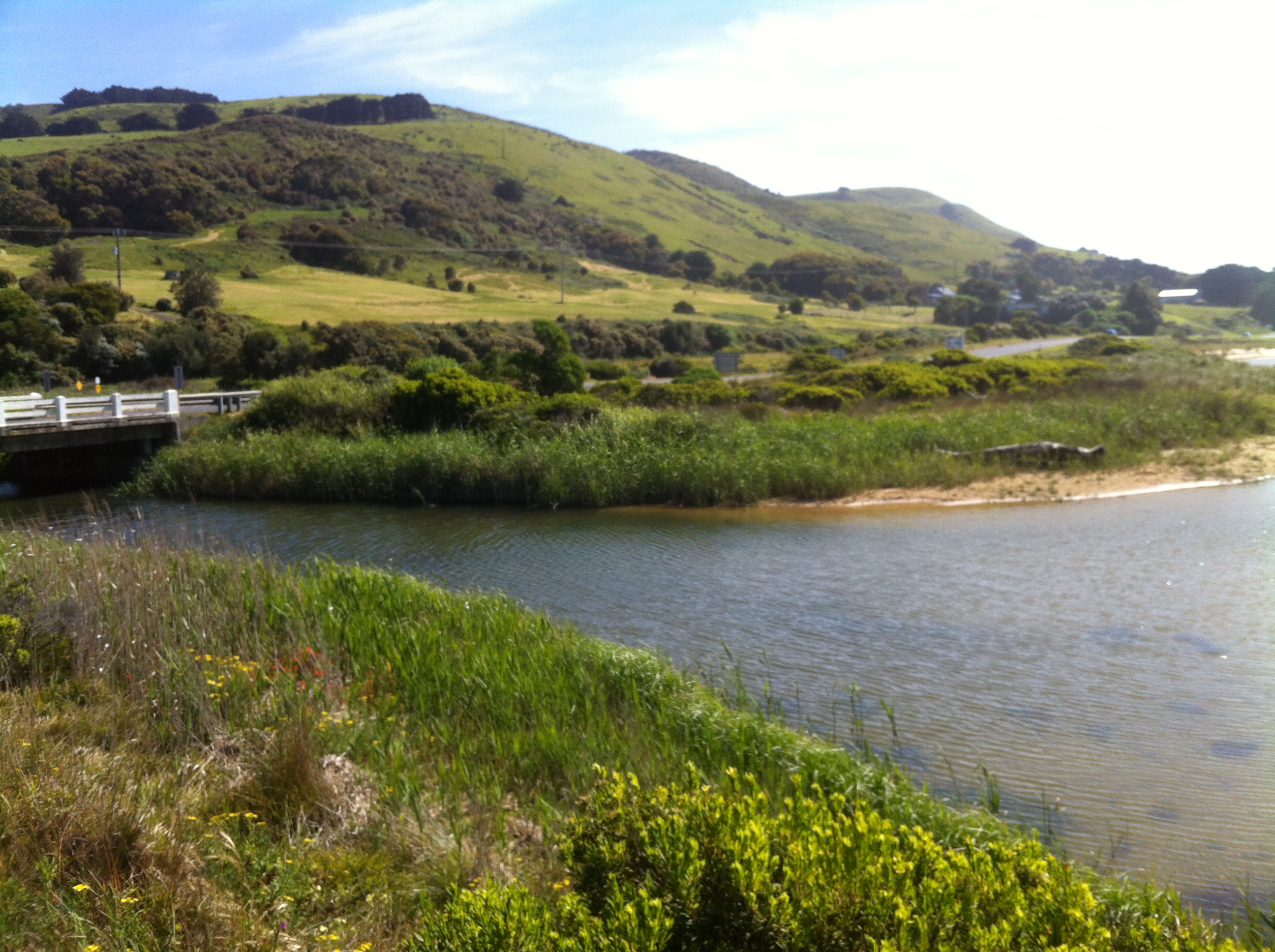
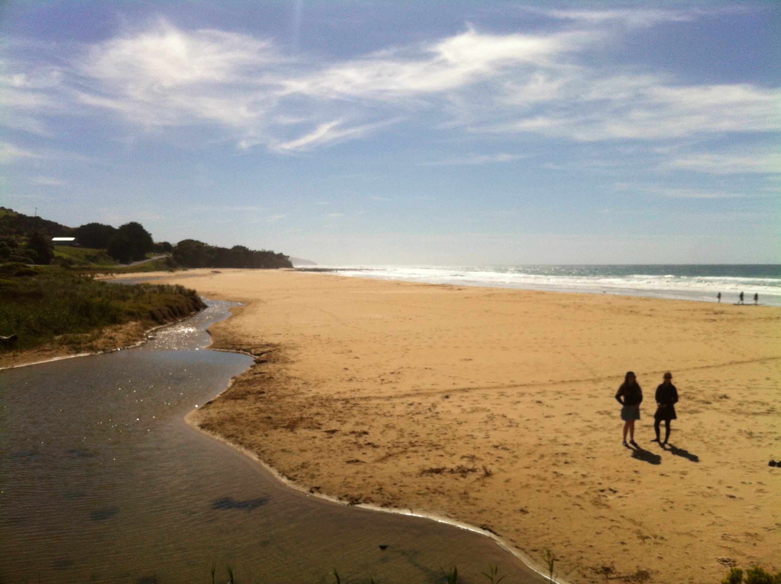
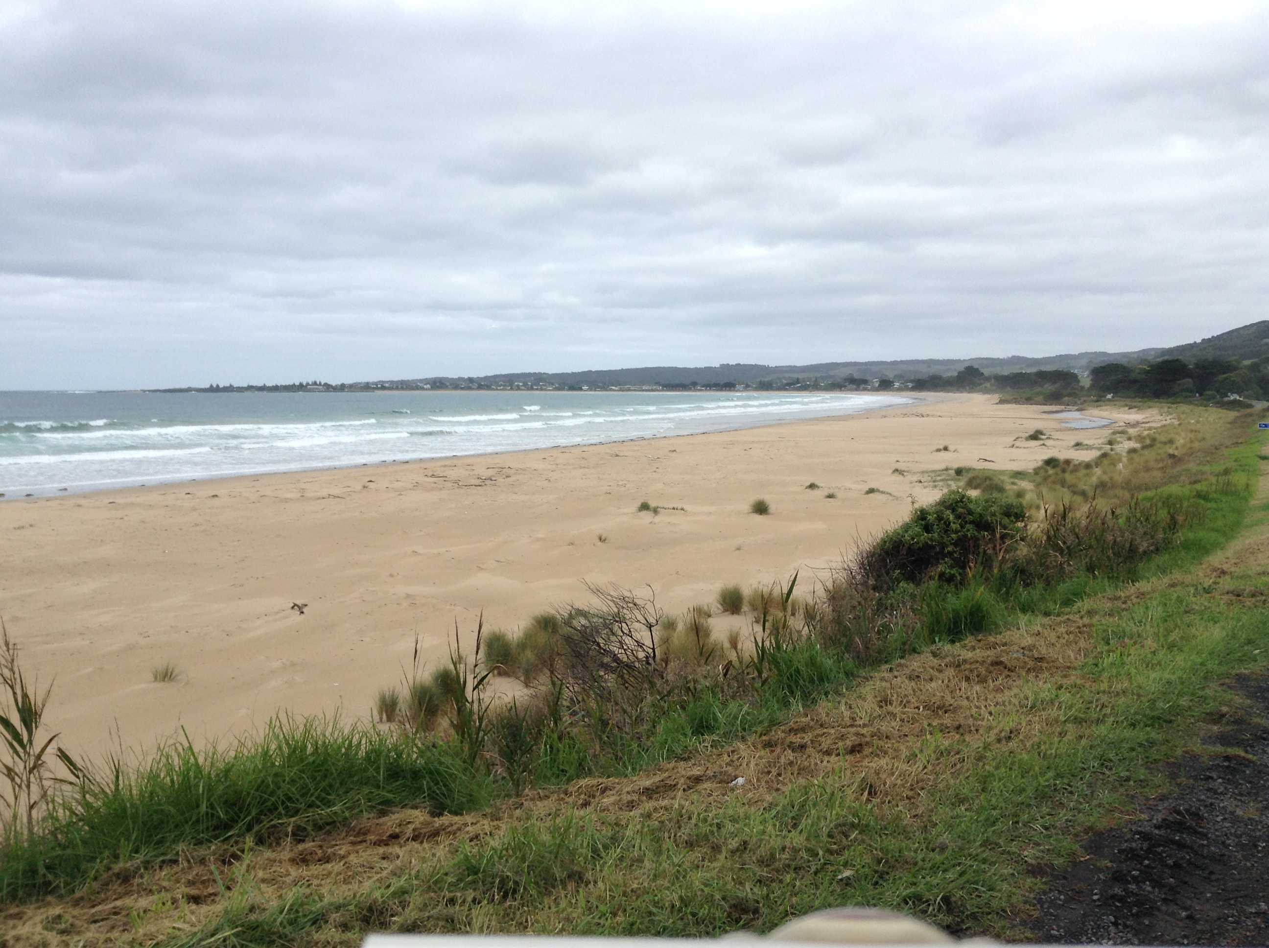
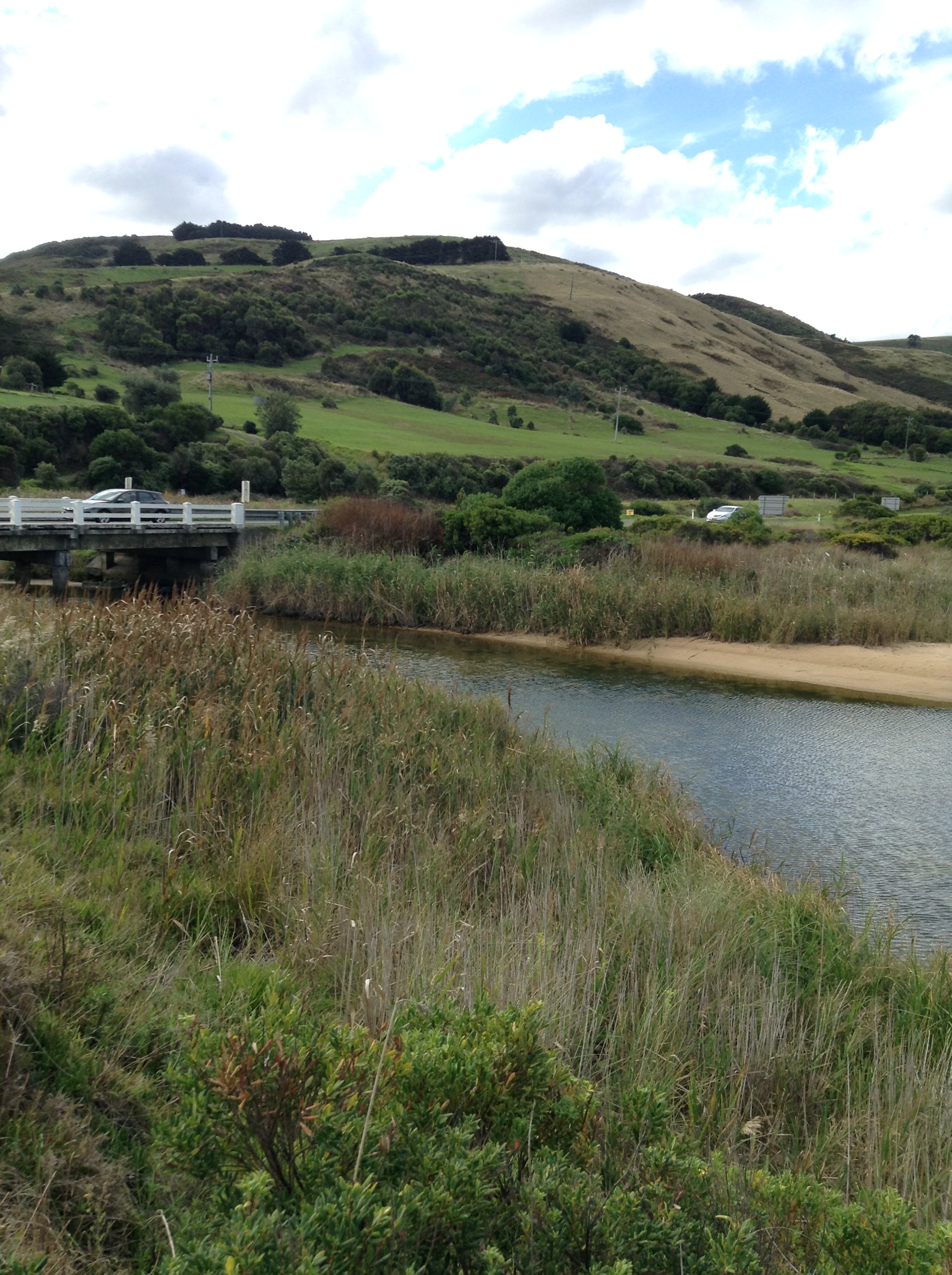
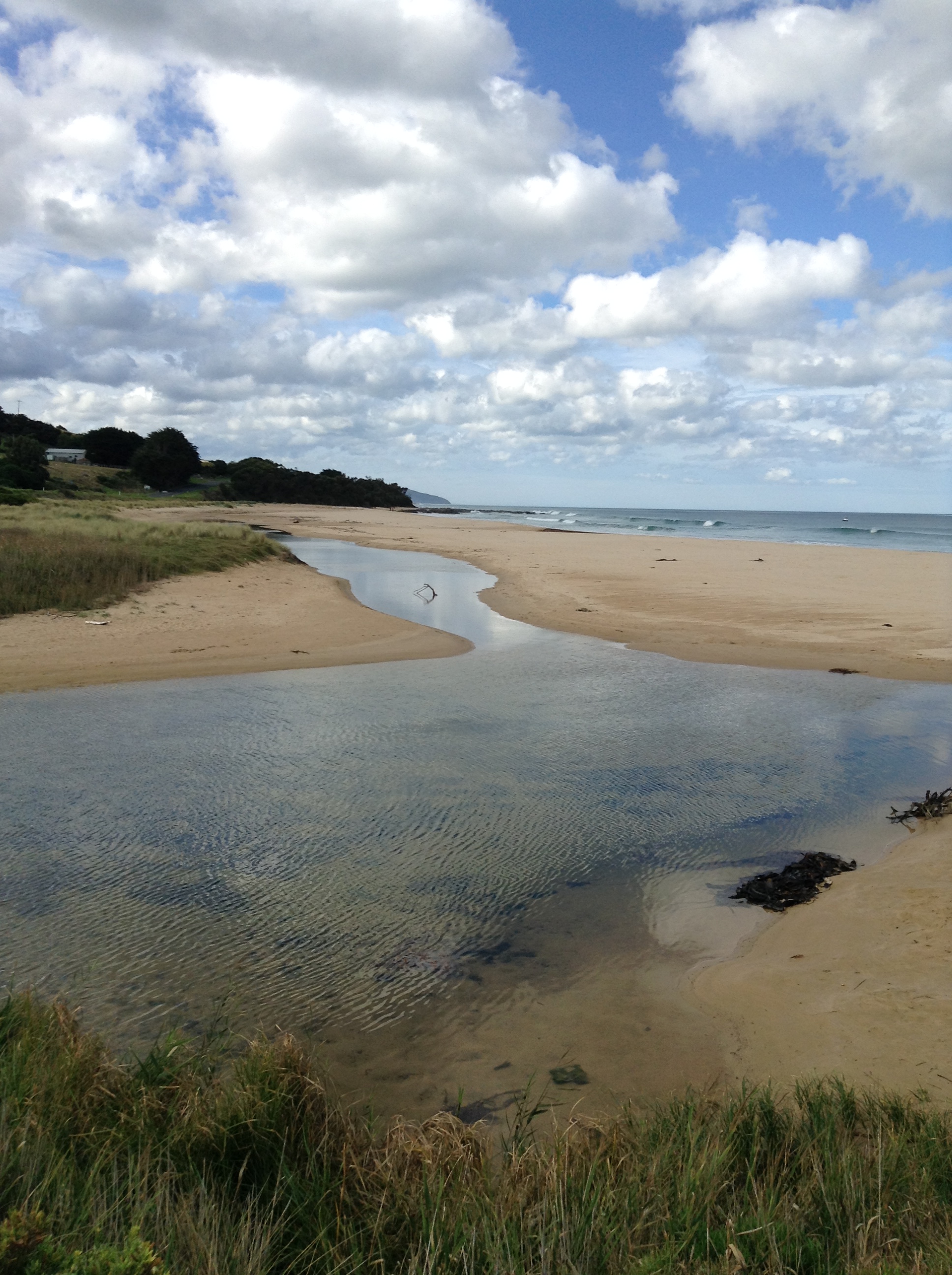
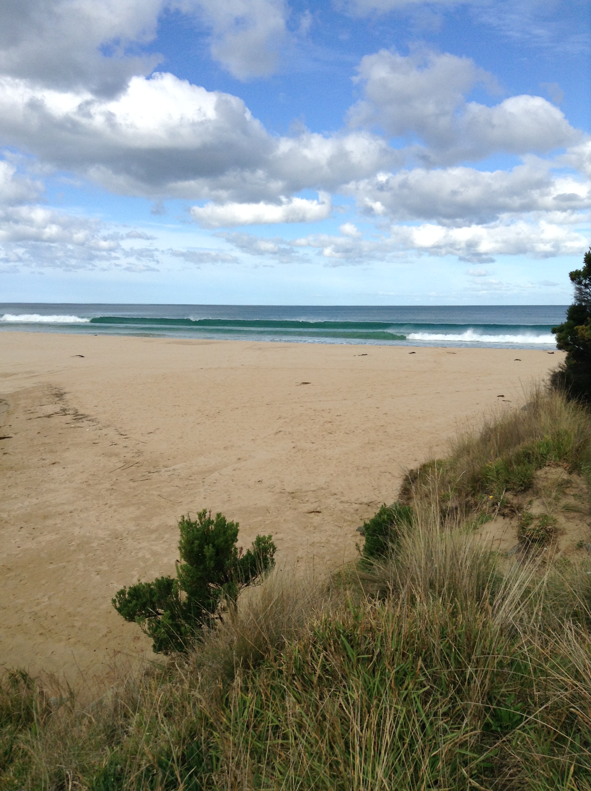
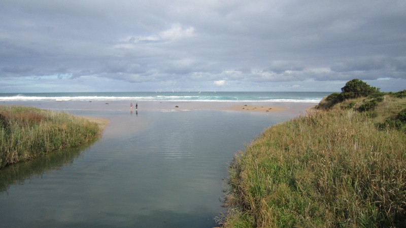
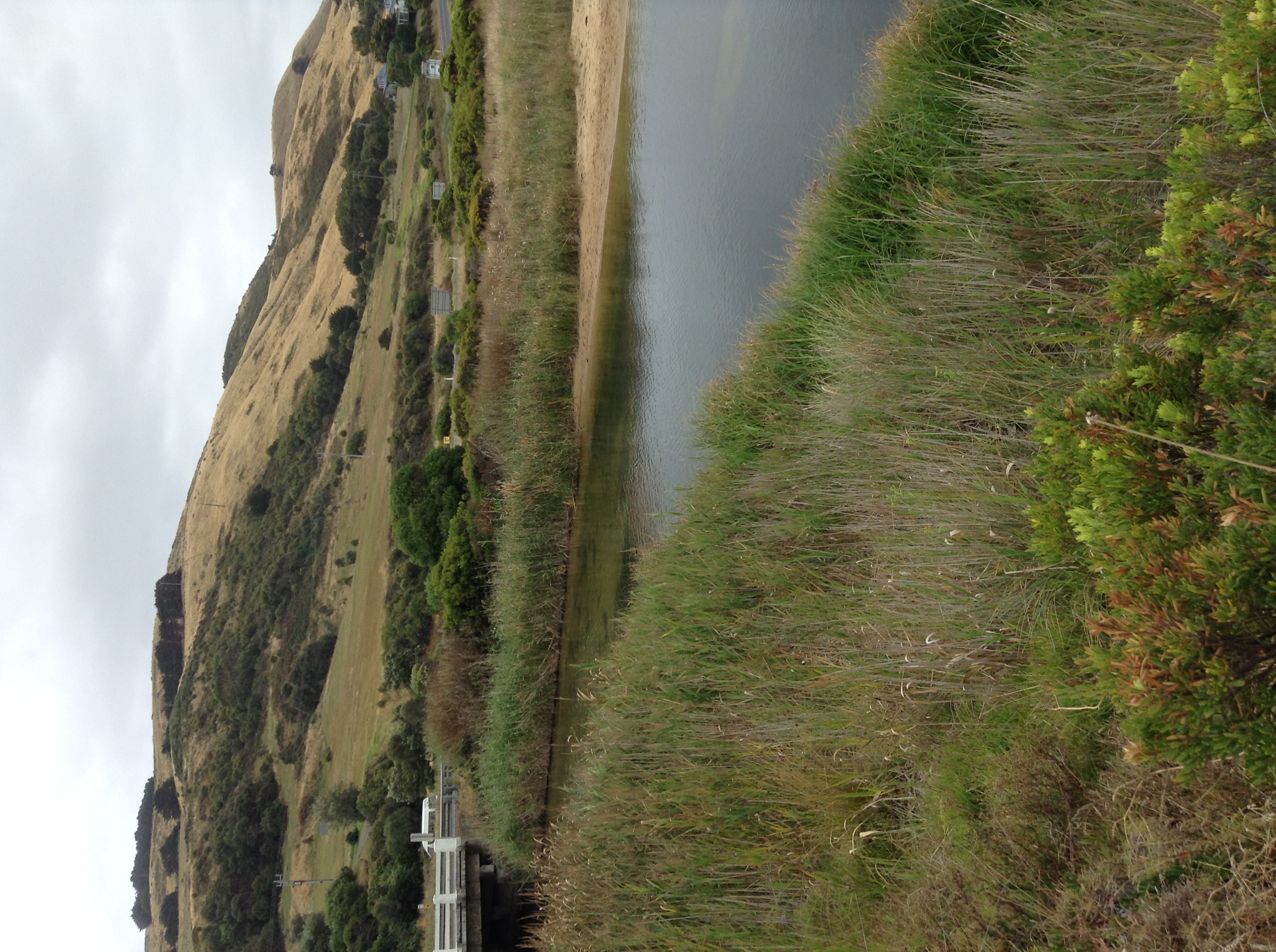
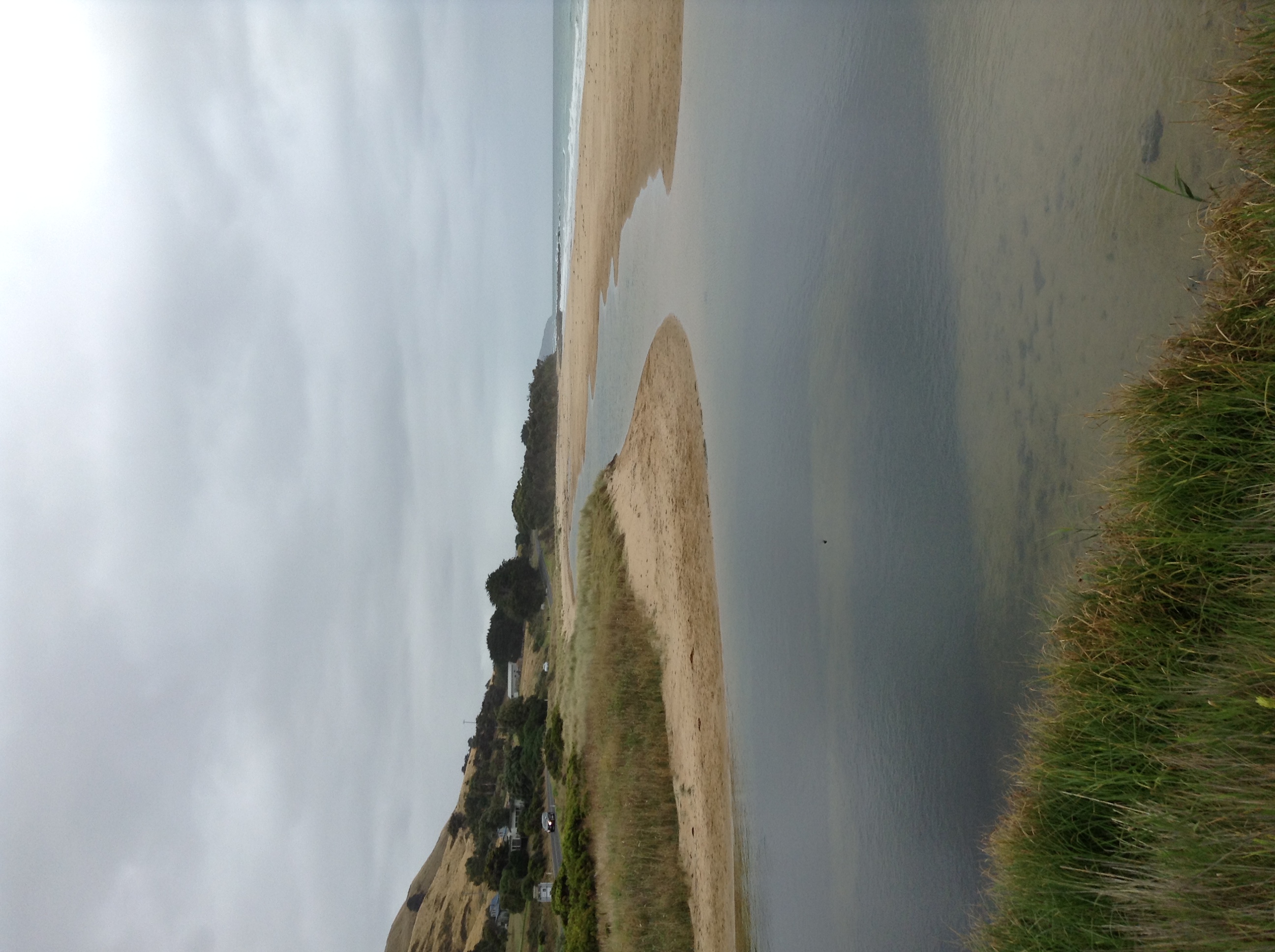
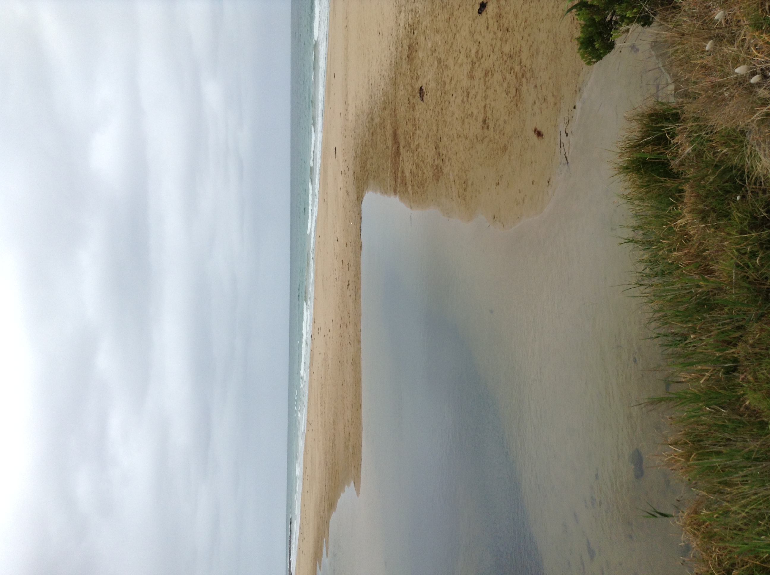
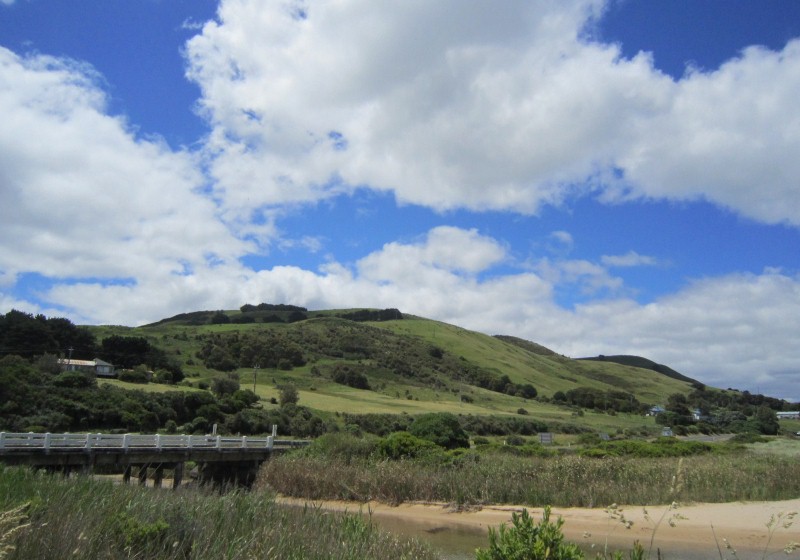
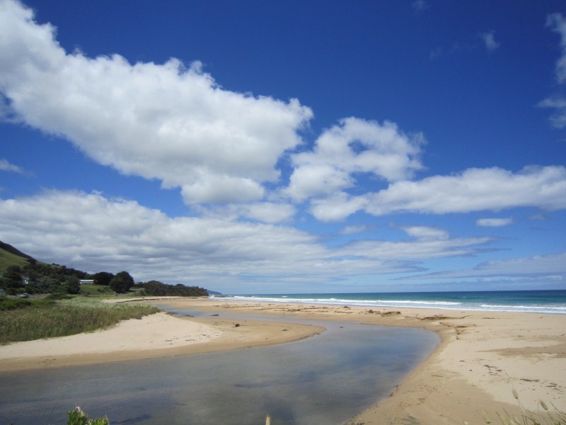
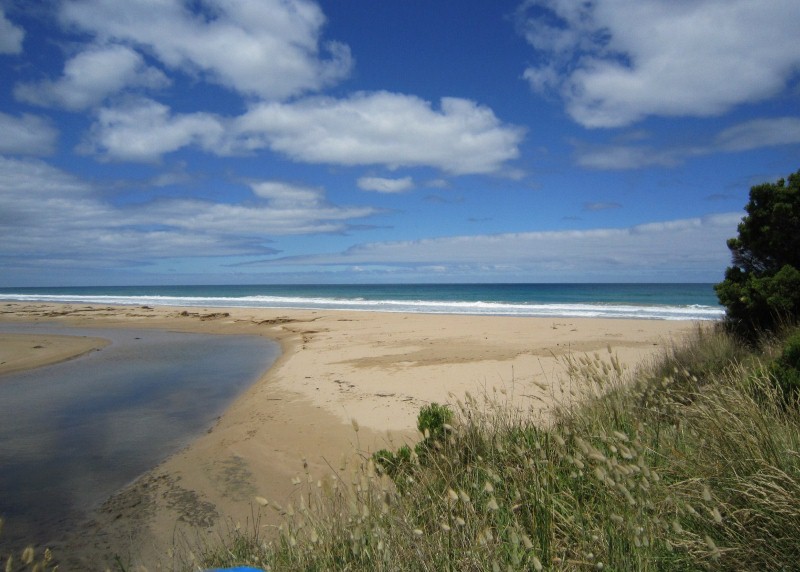
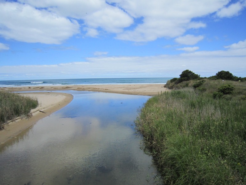
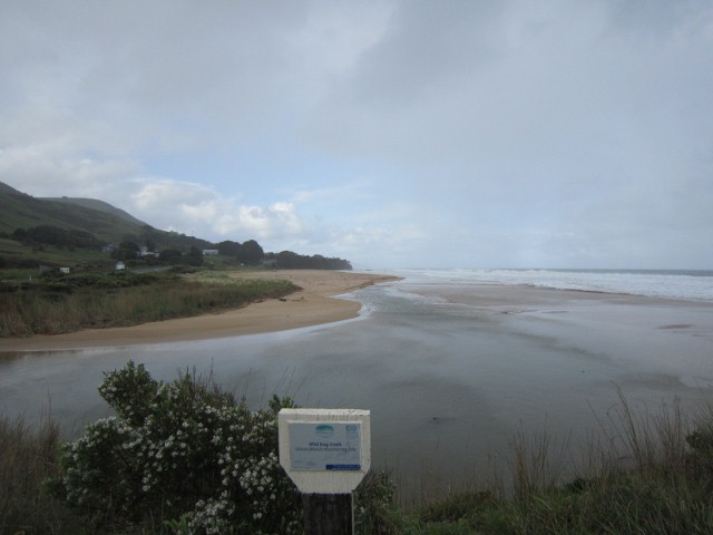
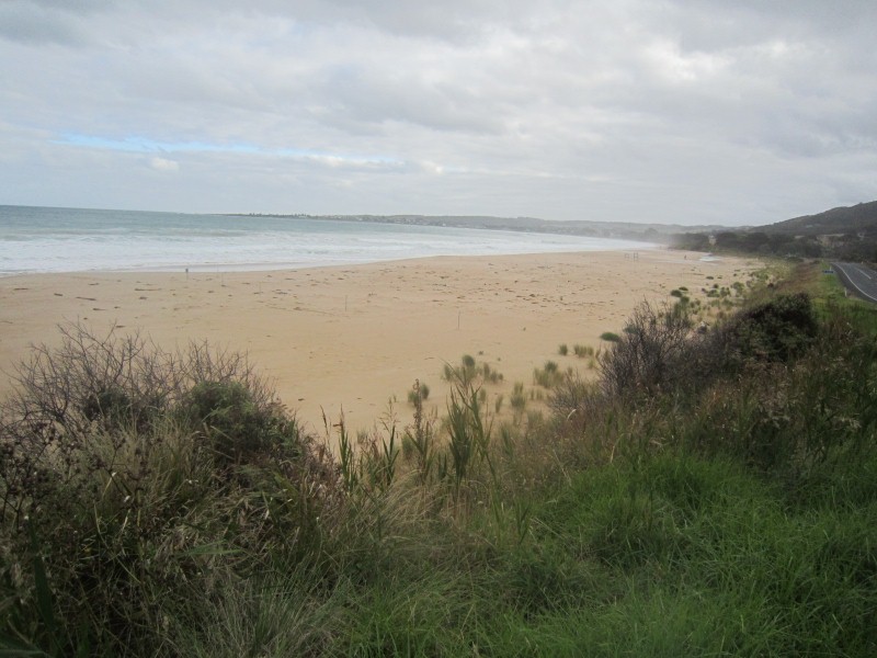
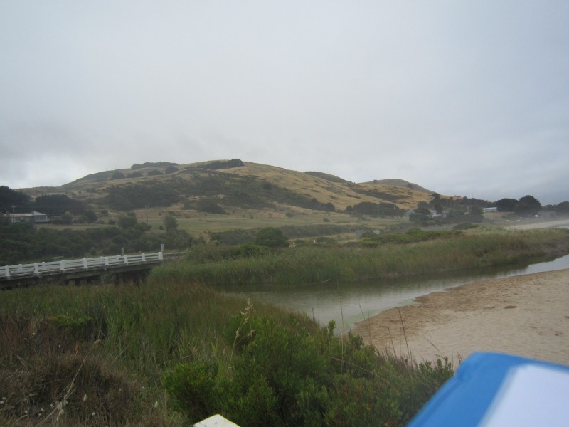
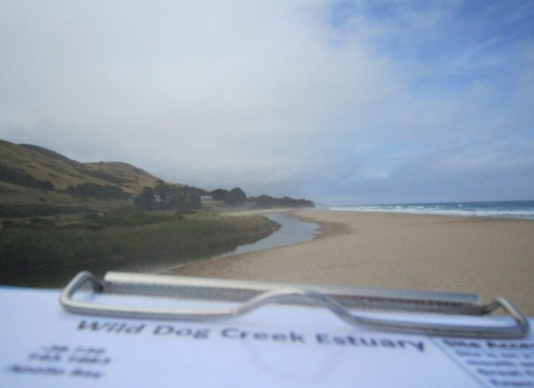
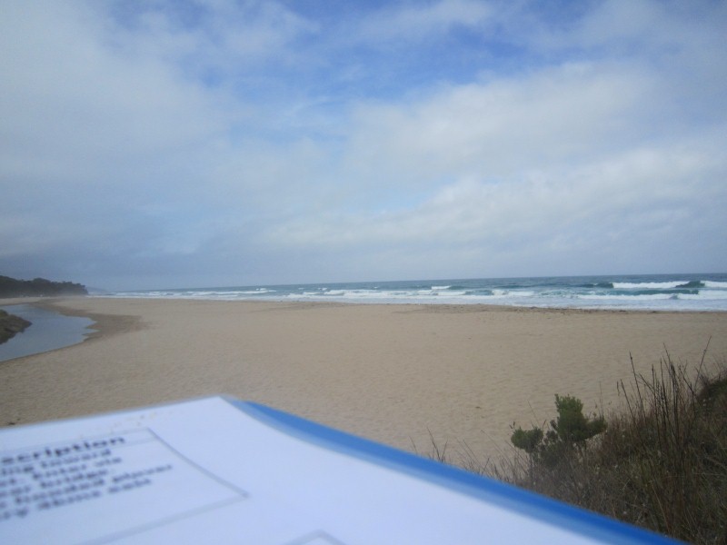
WMC Wild Dog Observation Site
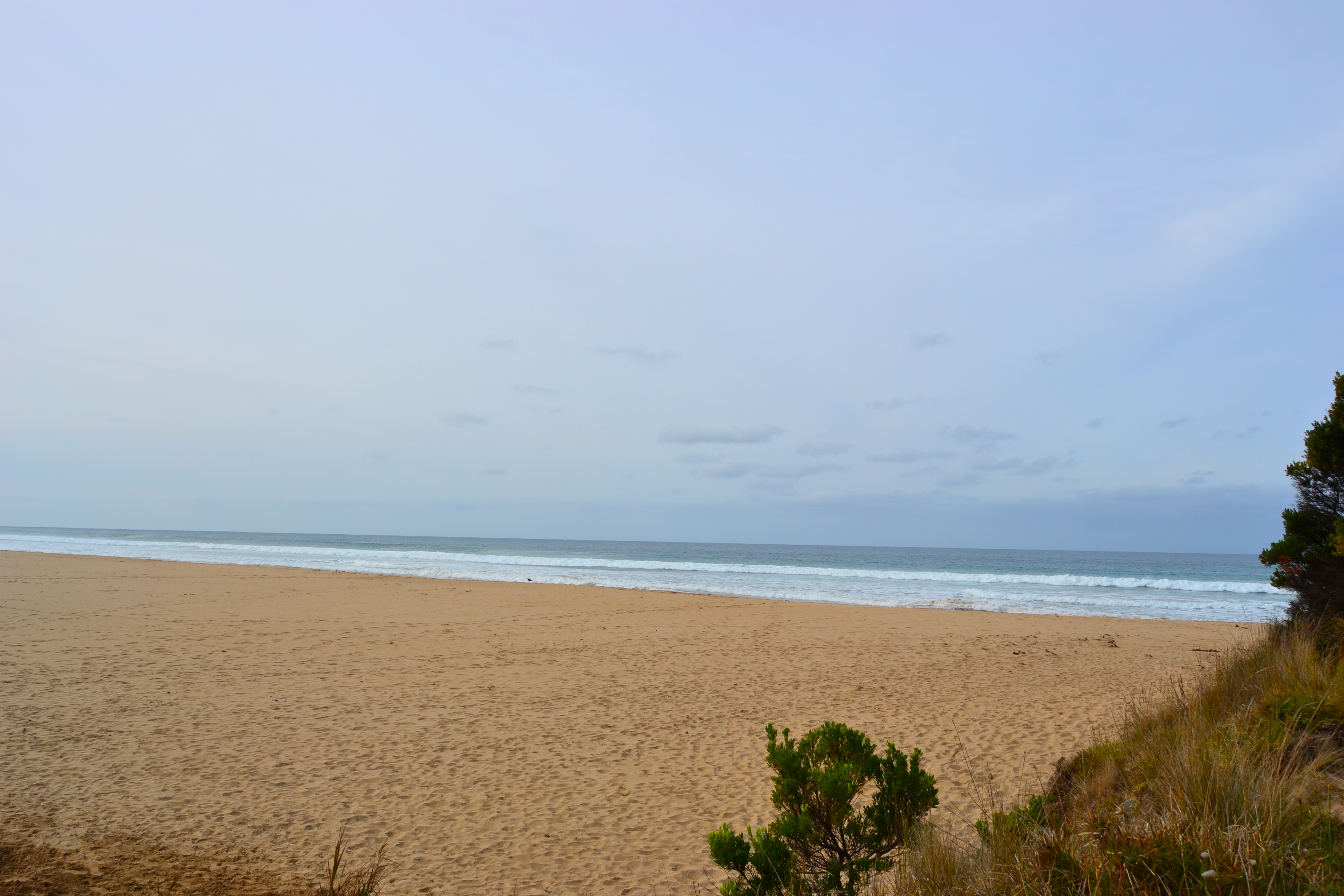
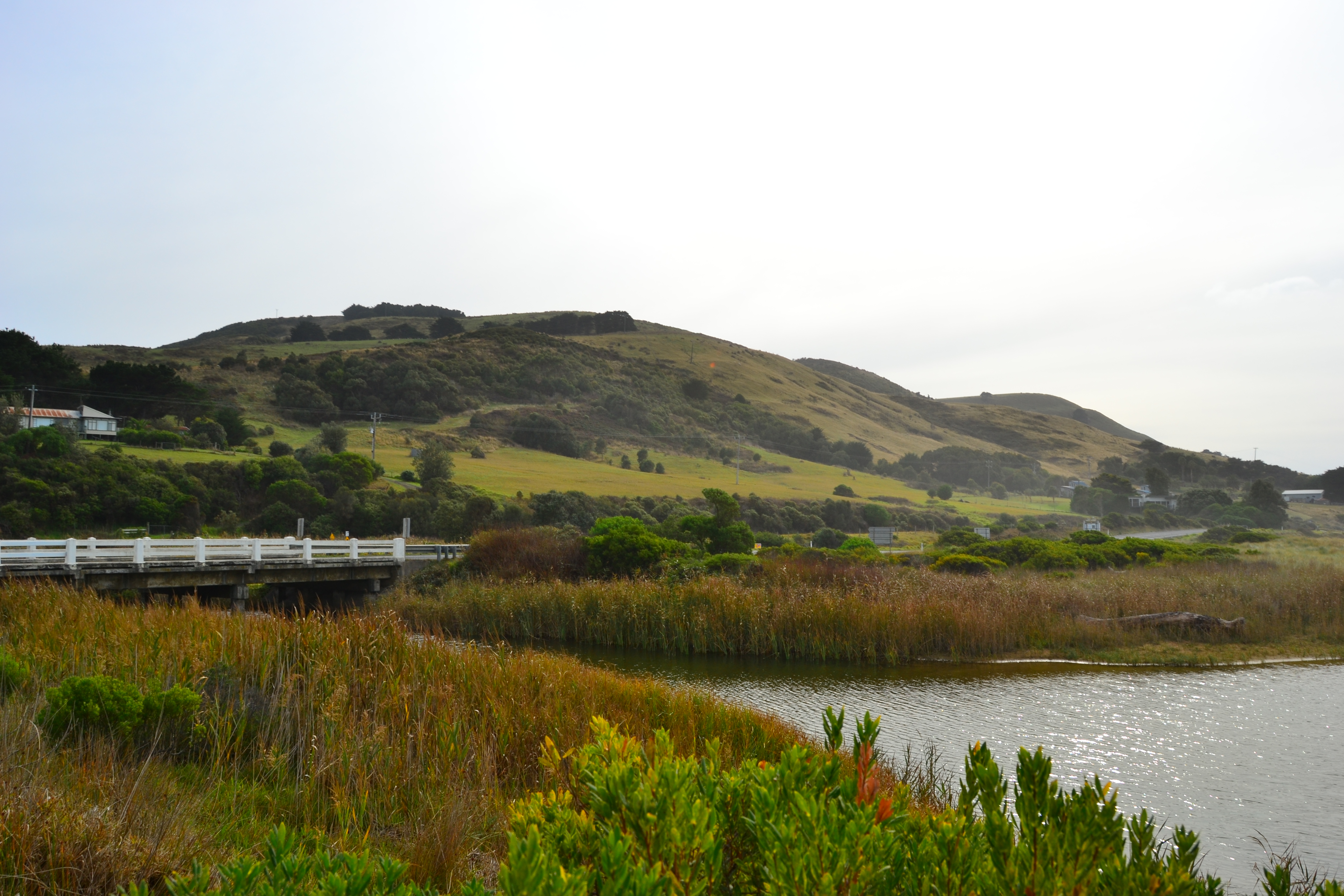
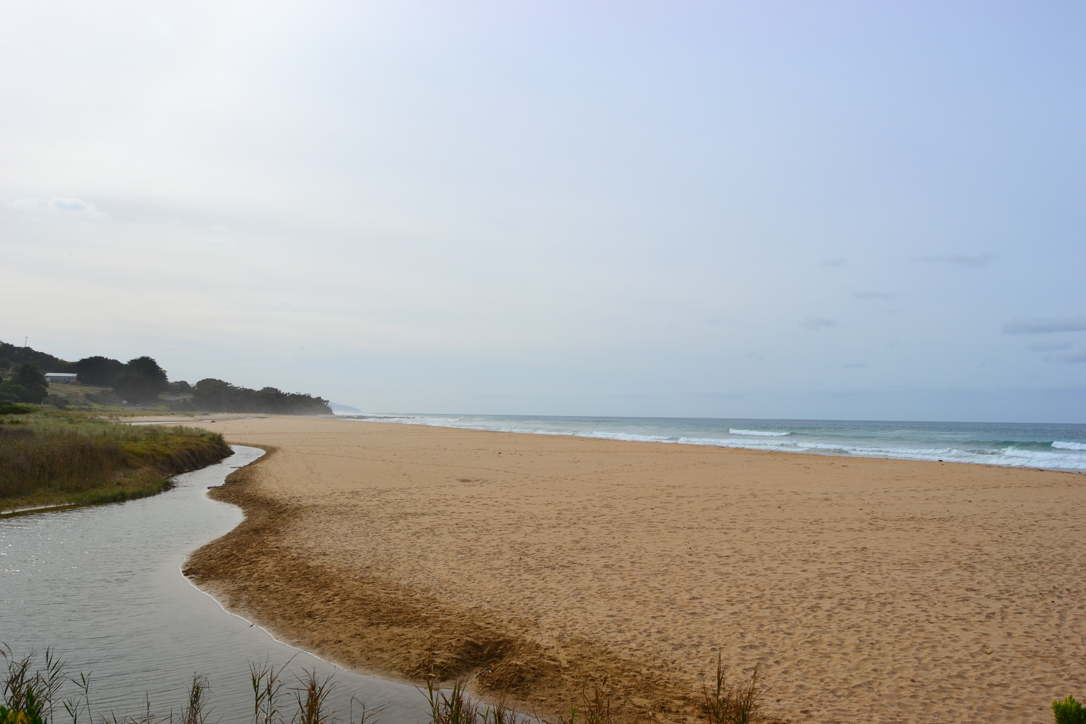
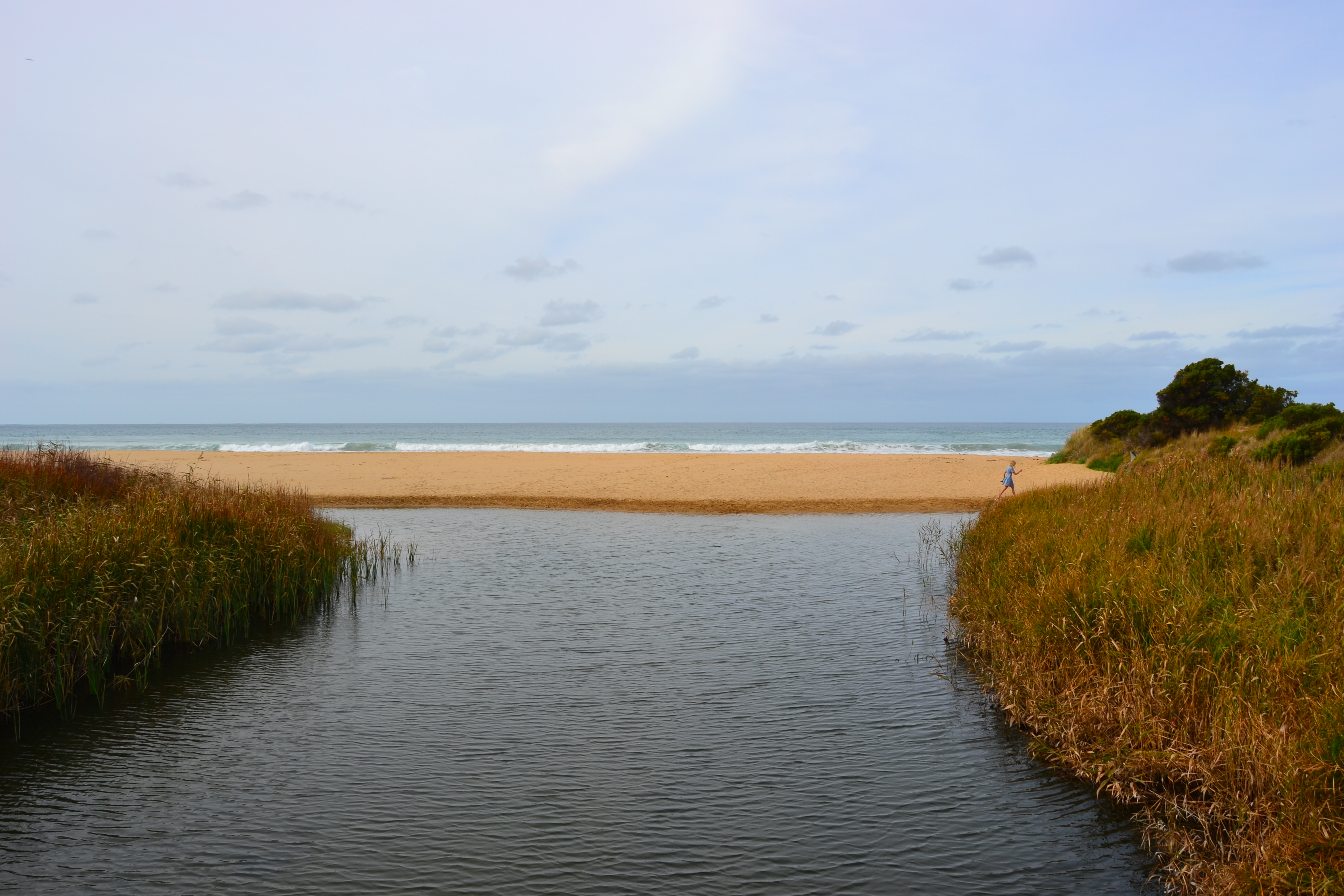
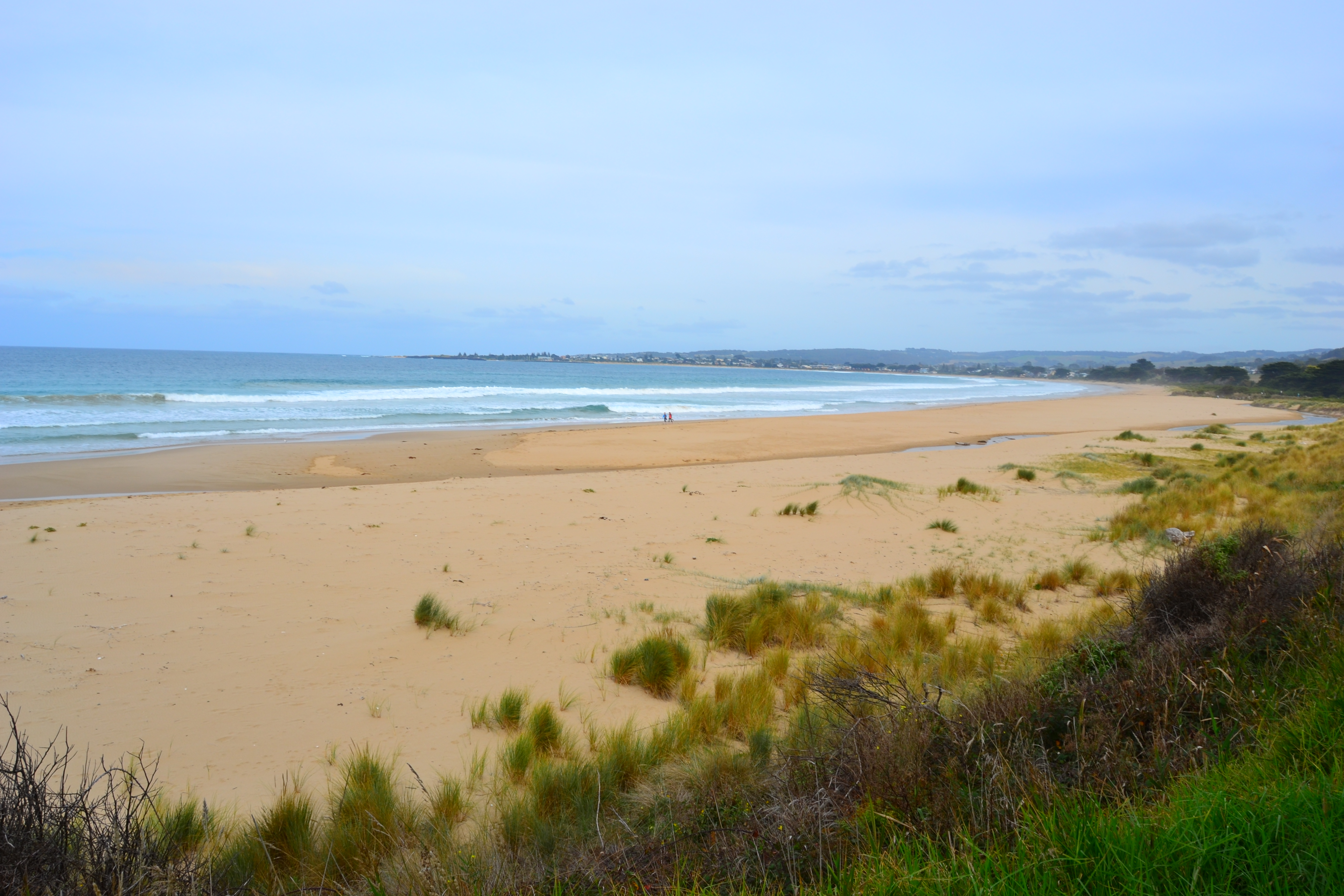
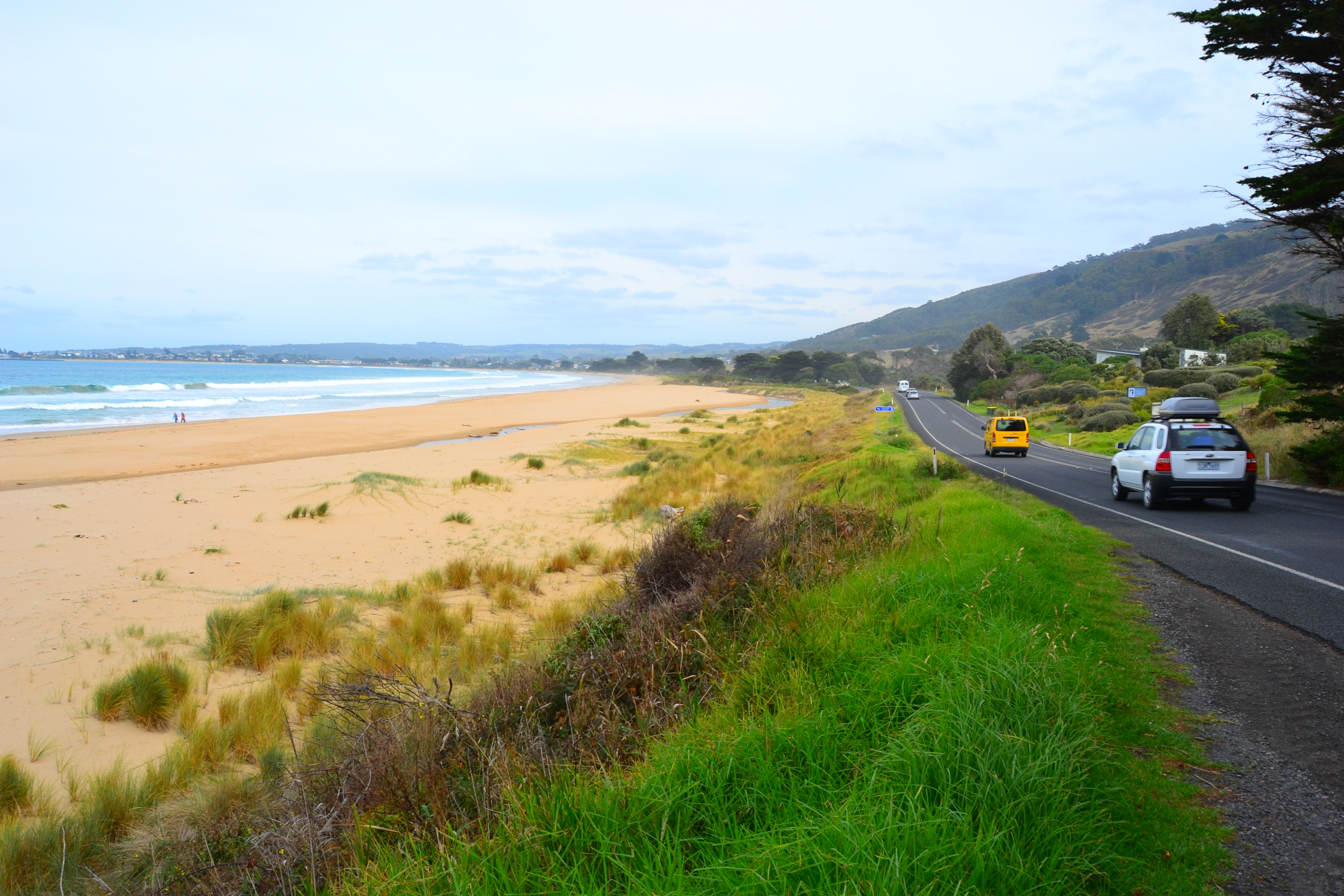
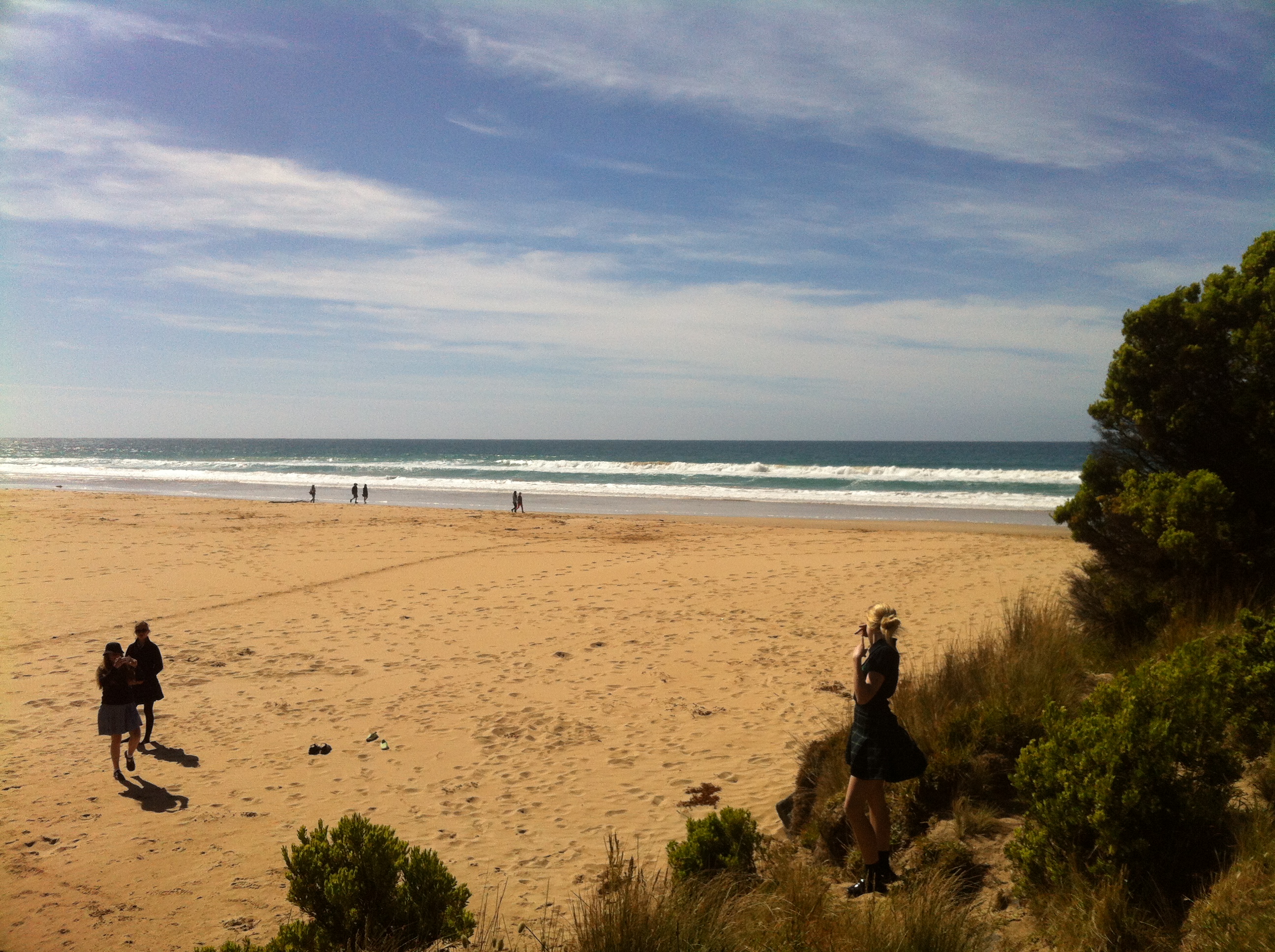
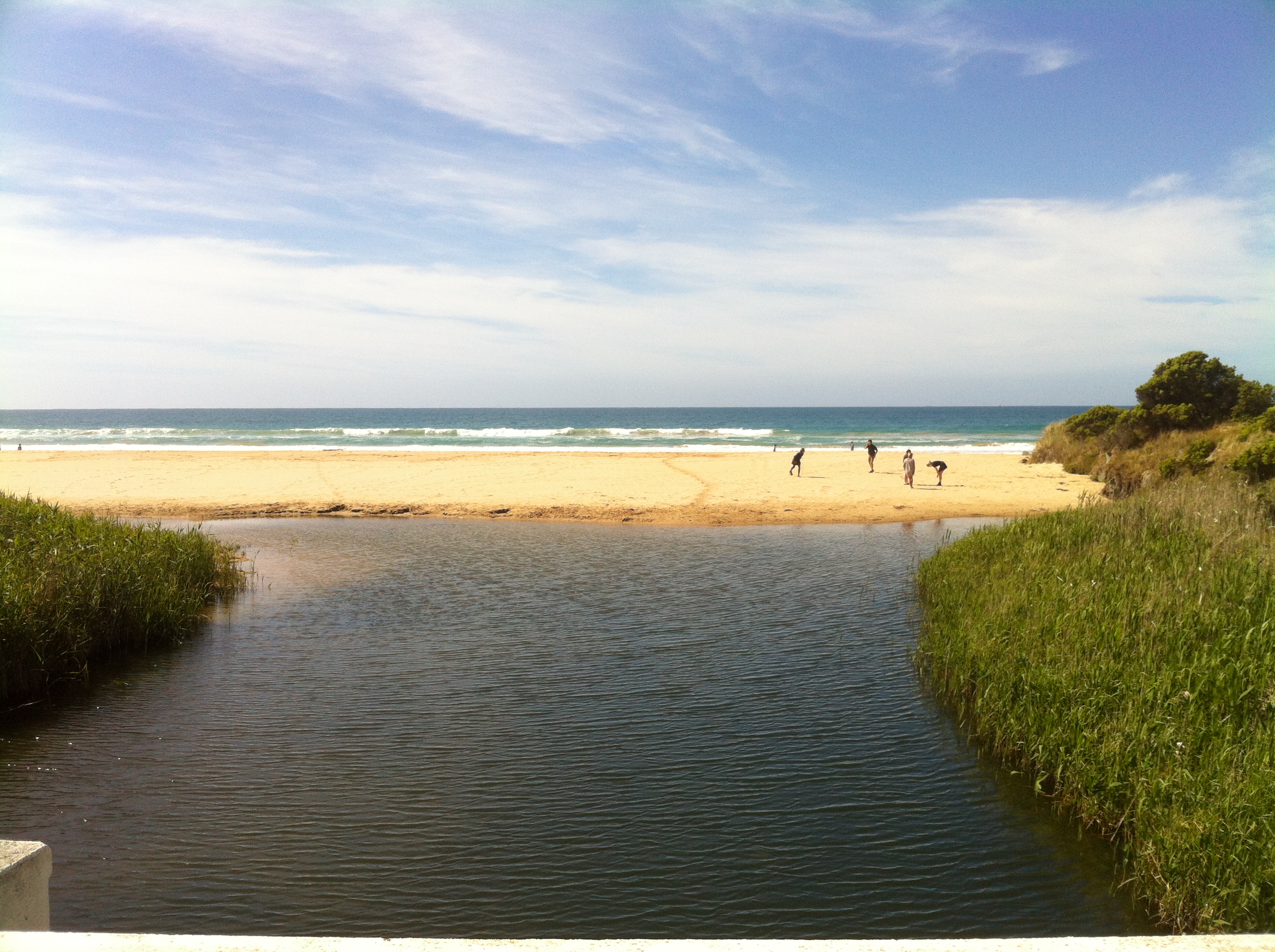
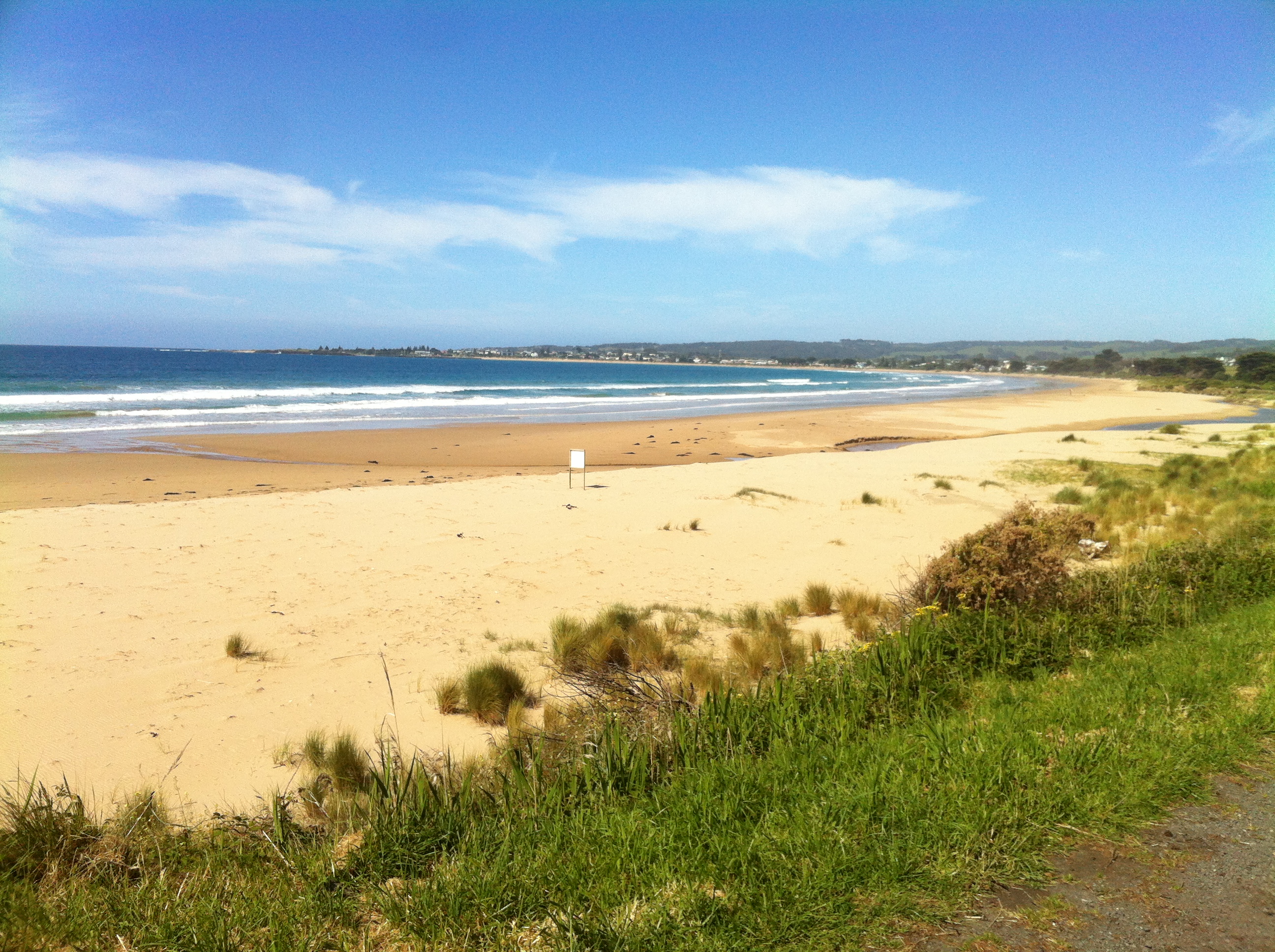
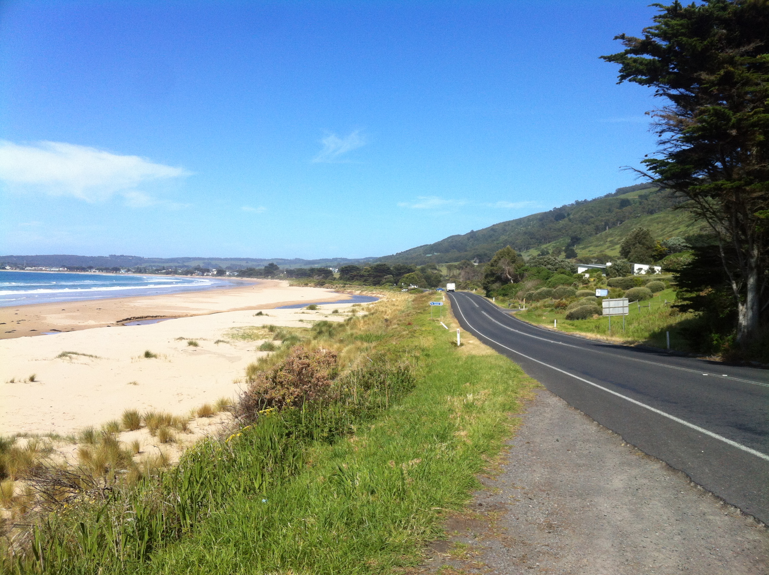
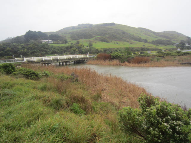
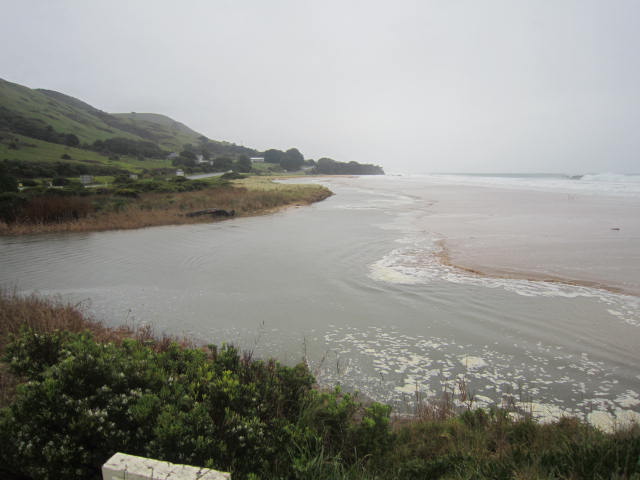
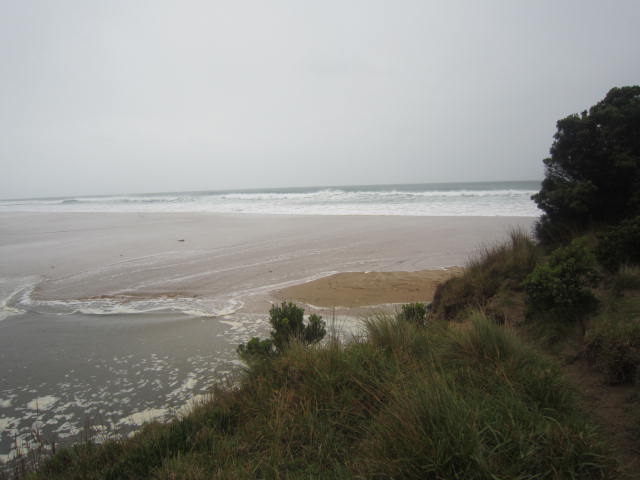
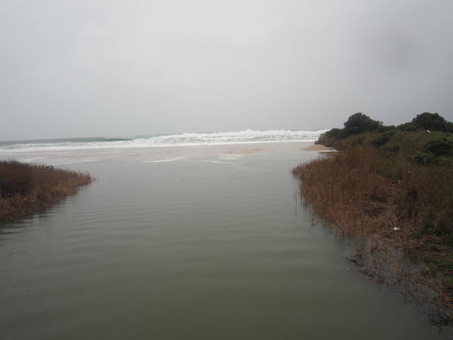
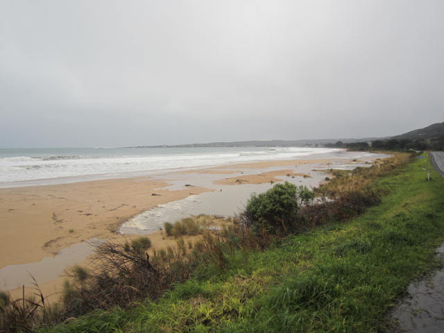
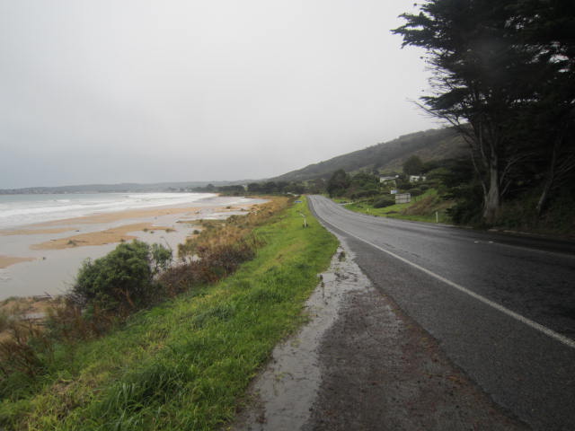
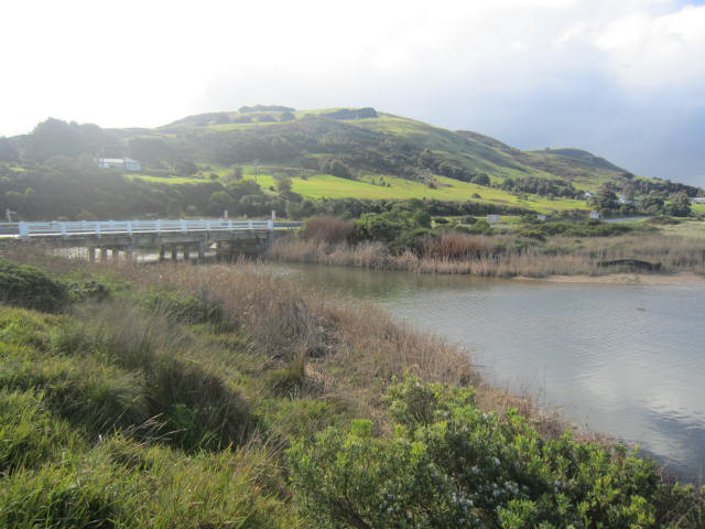
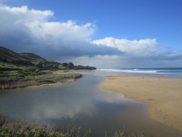
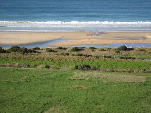
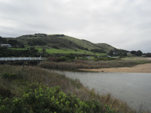
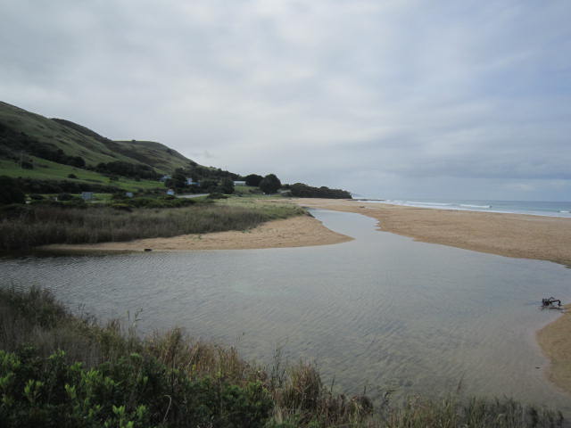
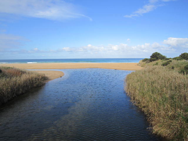
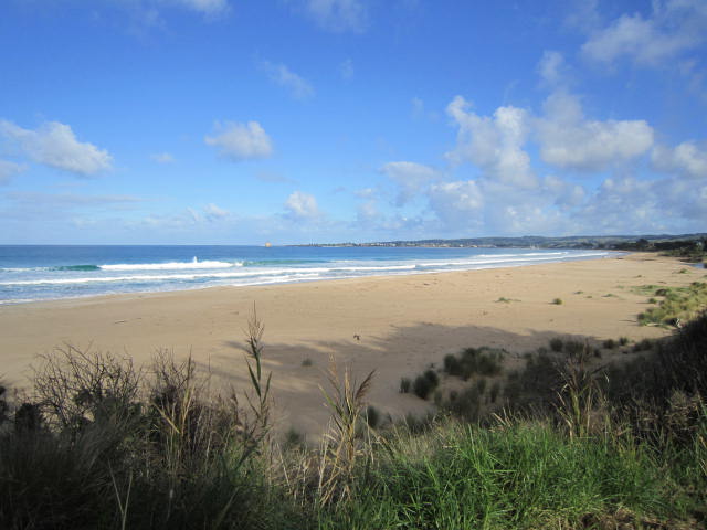
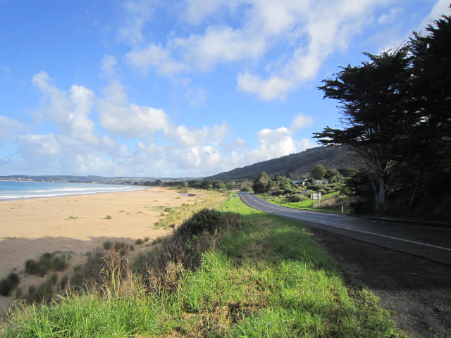
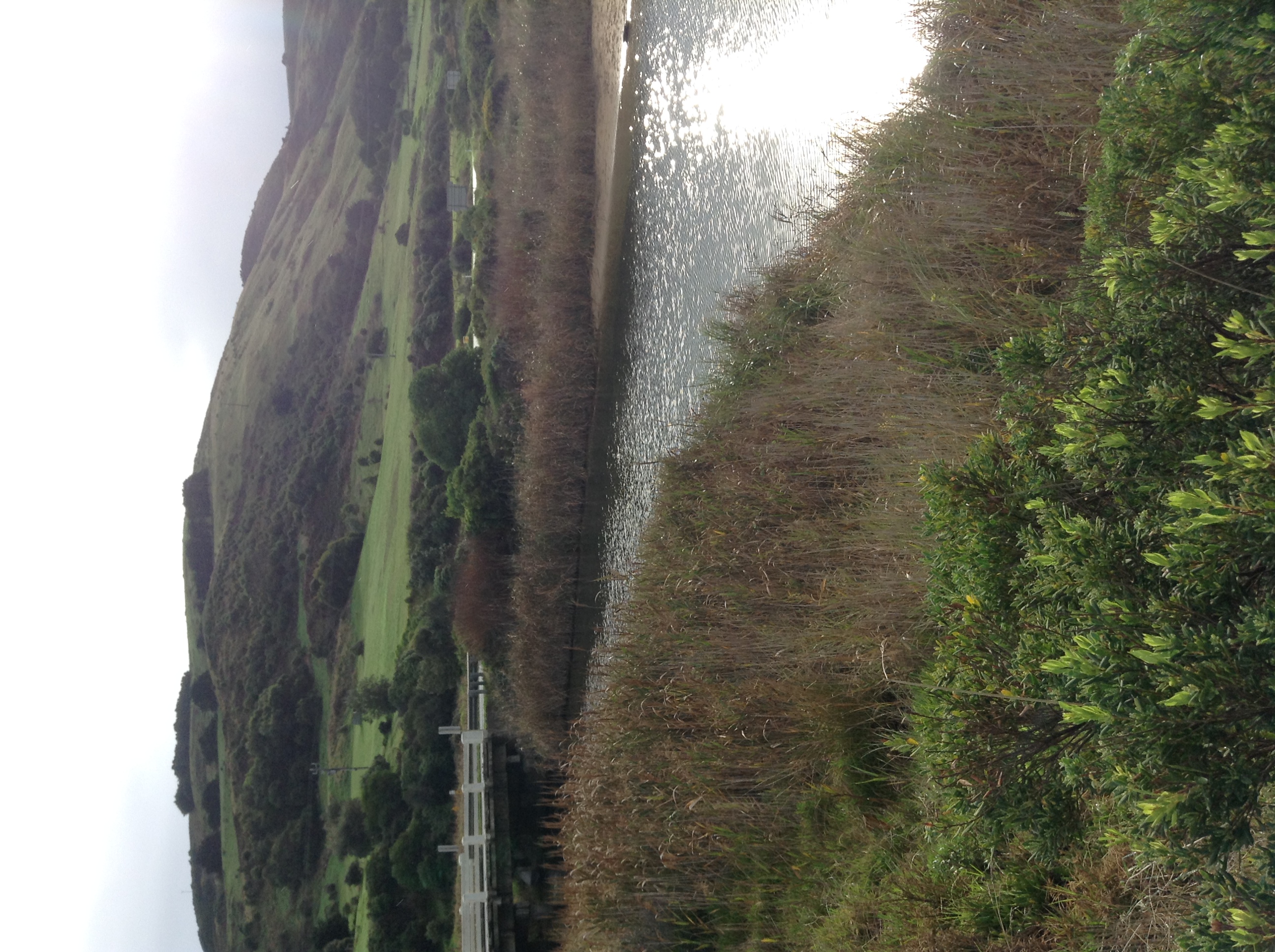
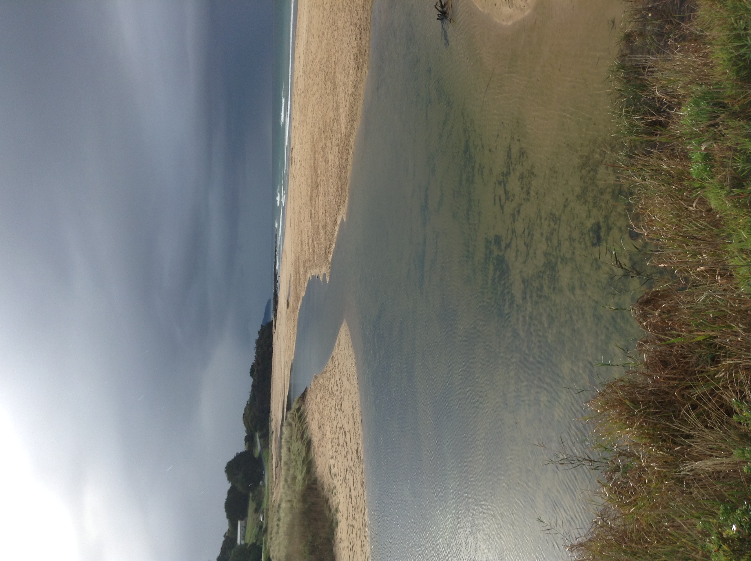
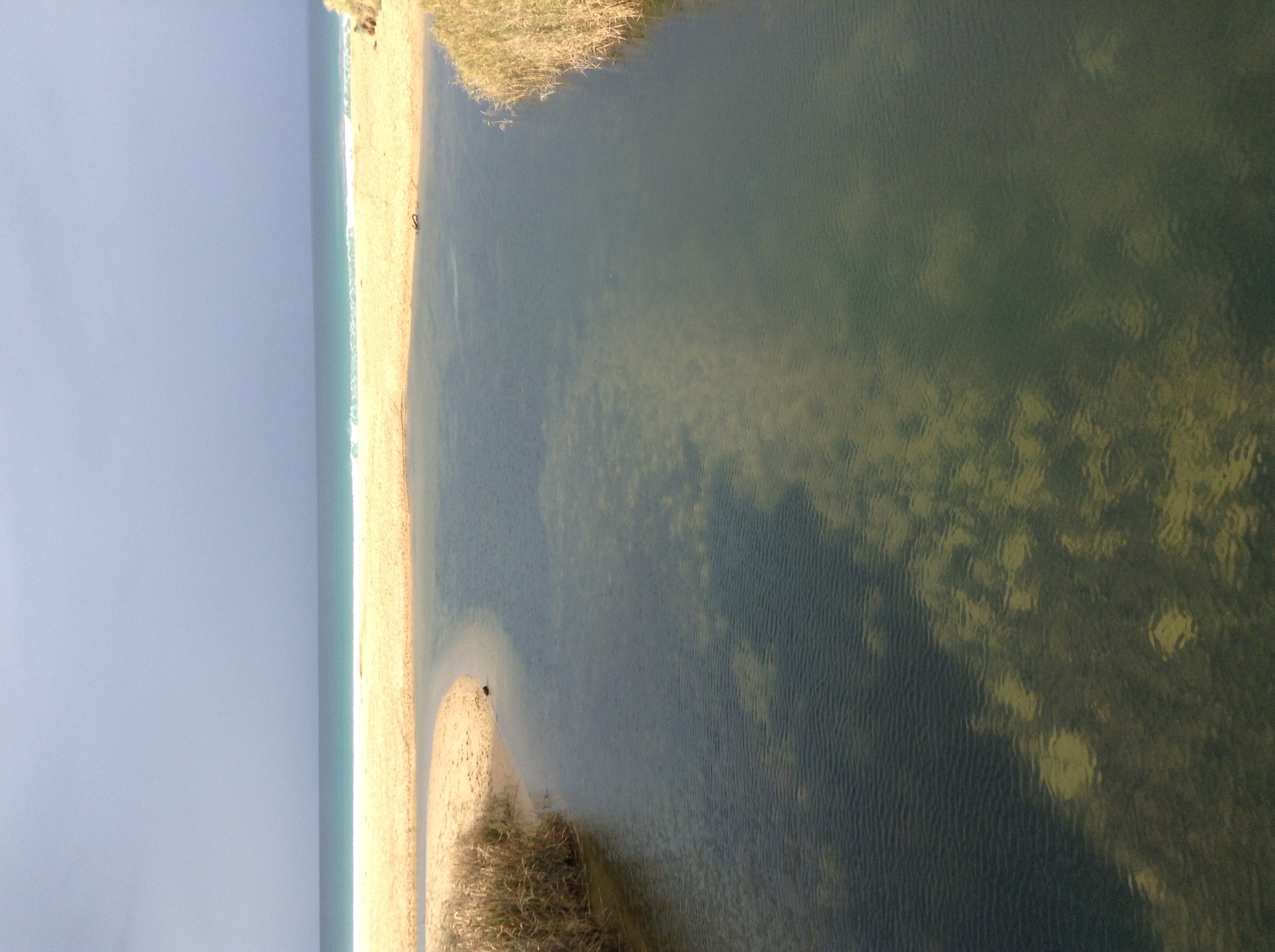
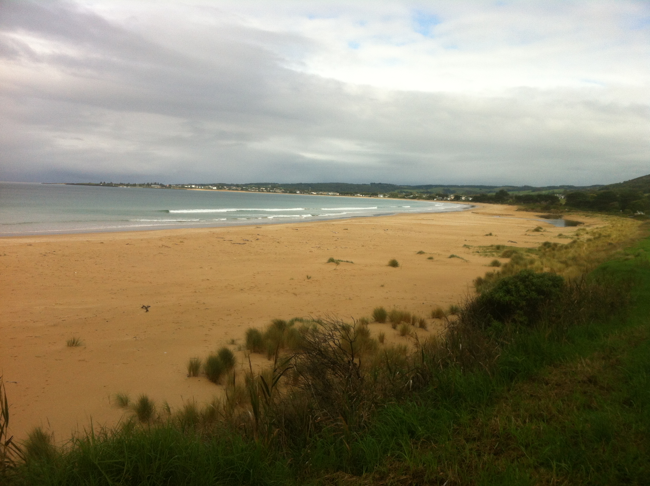
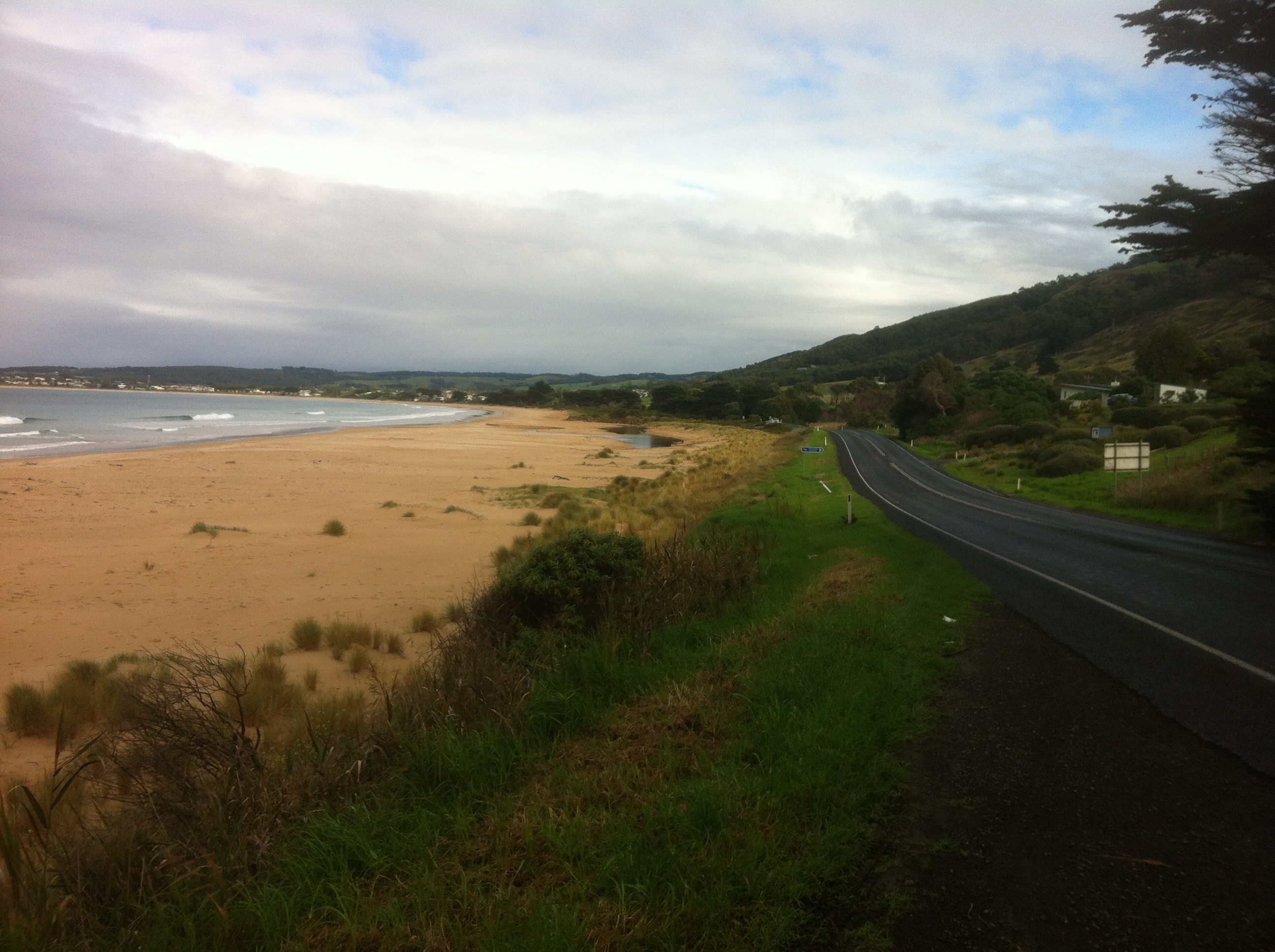
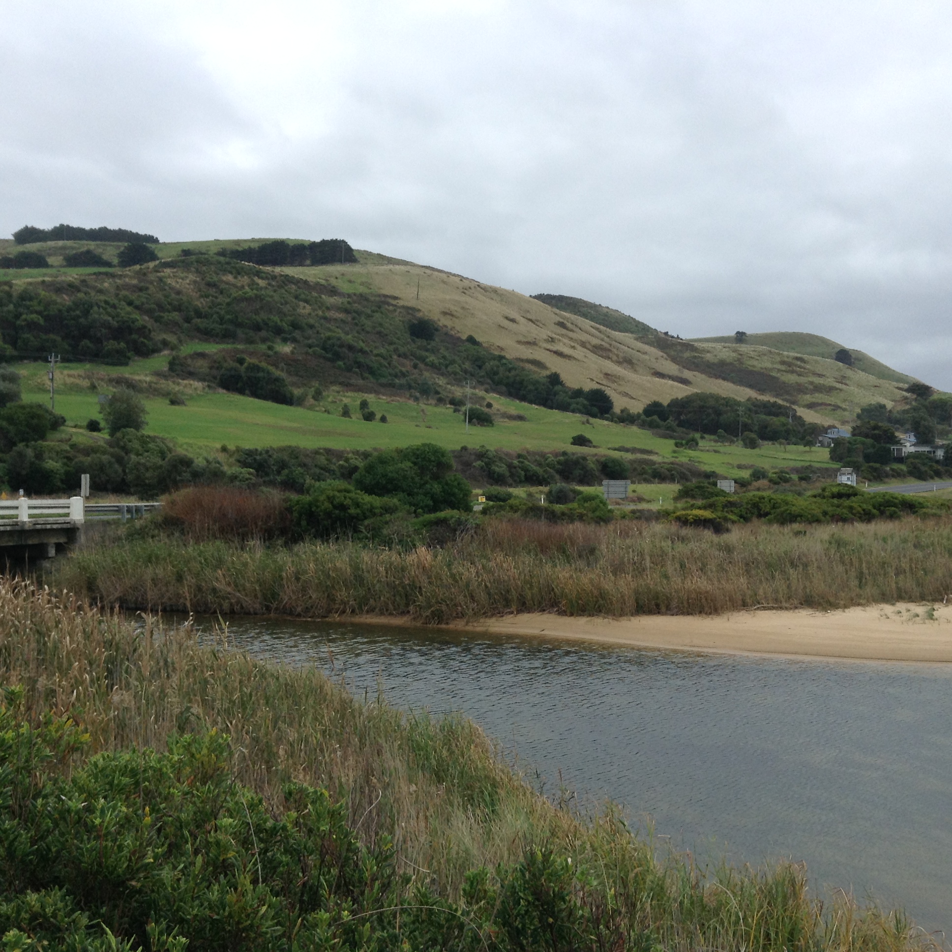
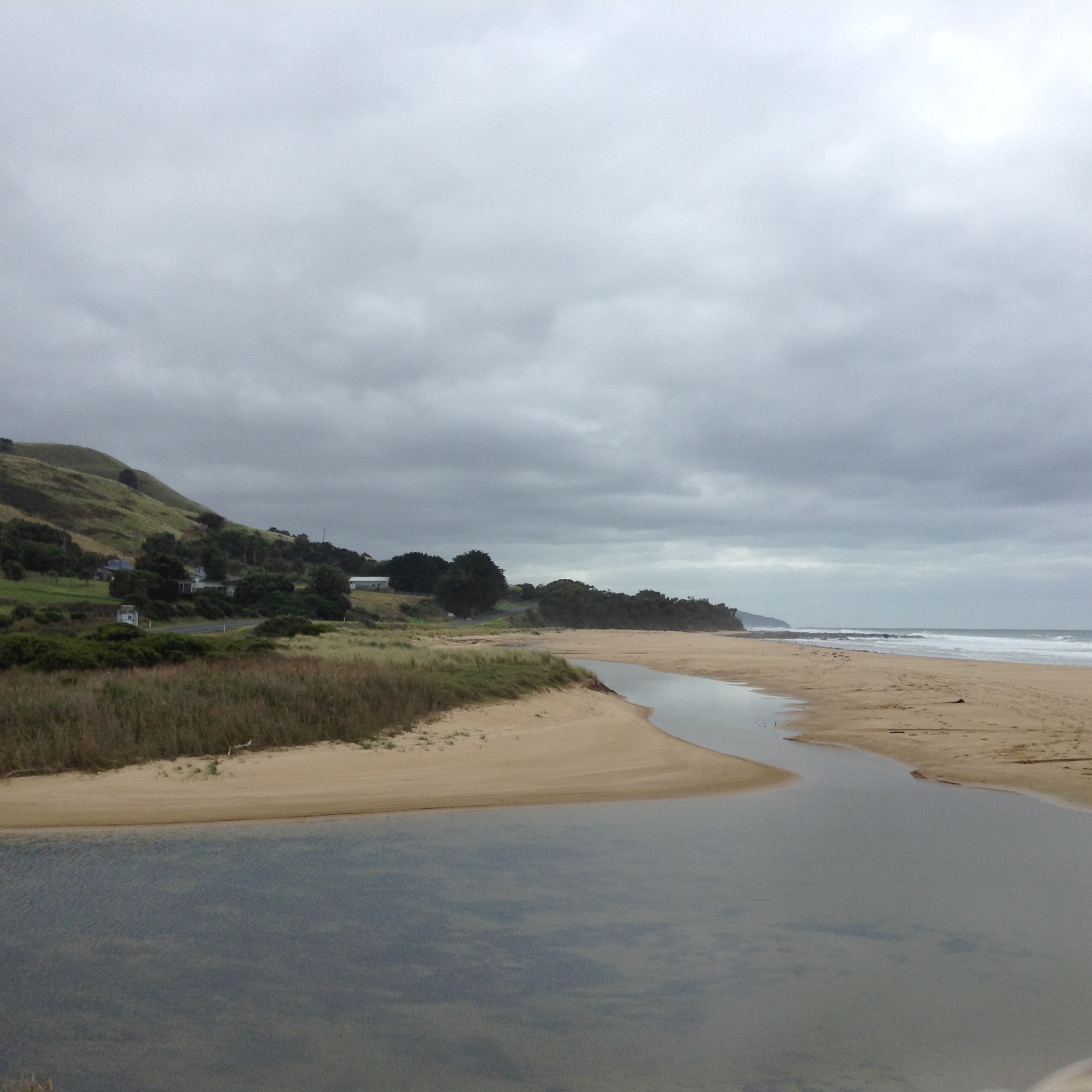
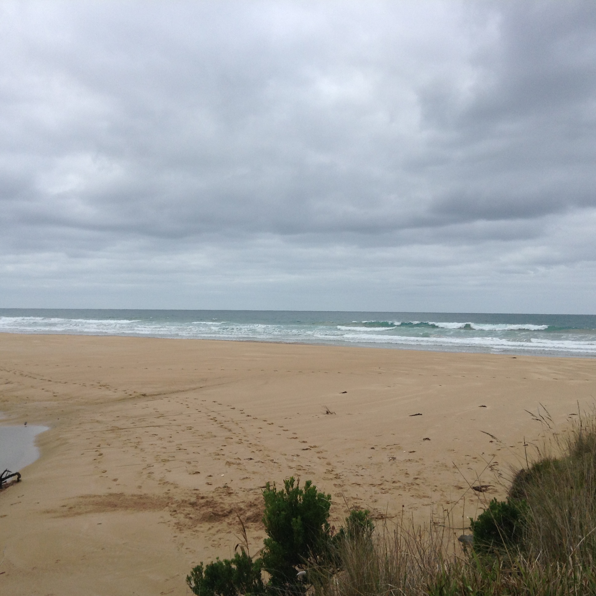
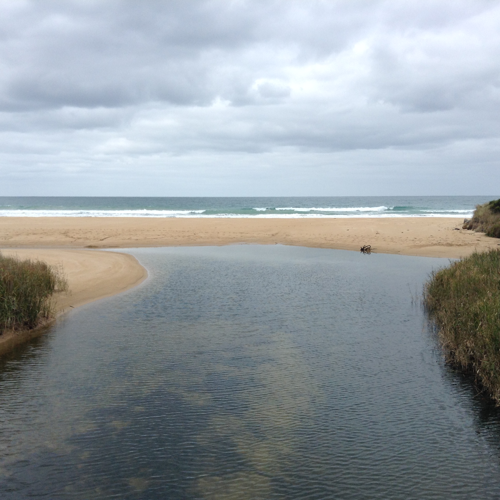
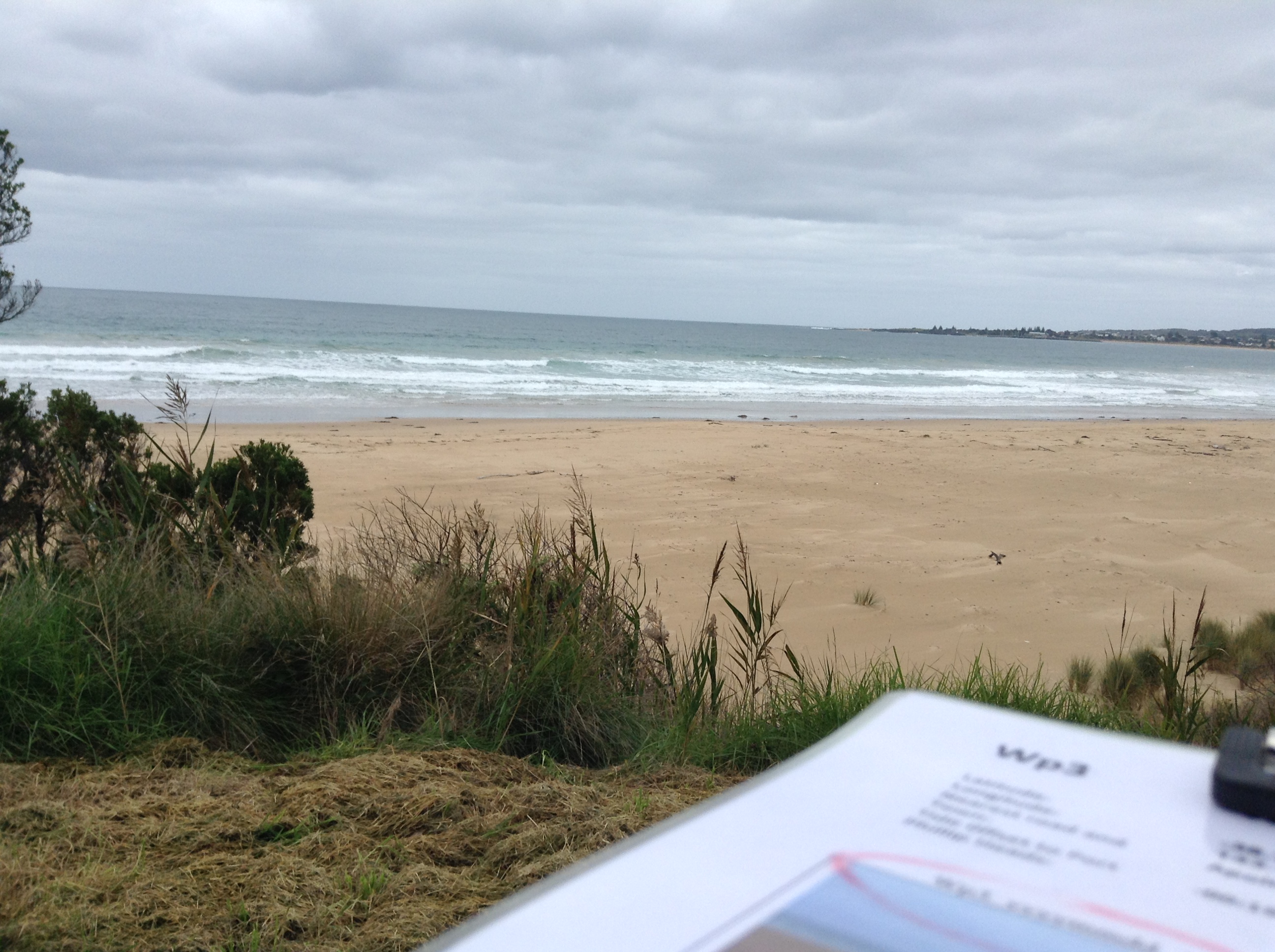
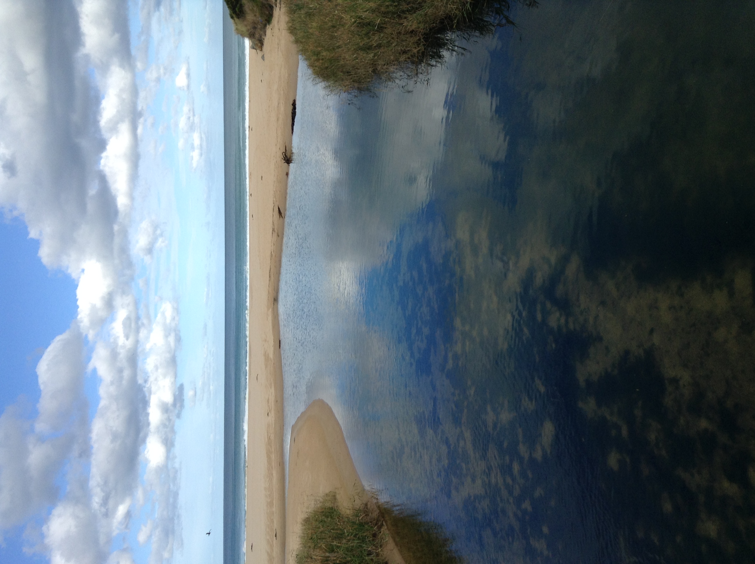
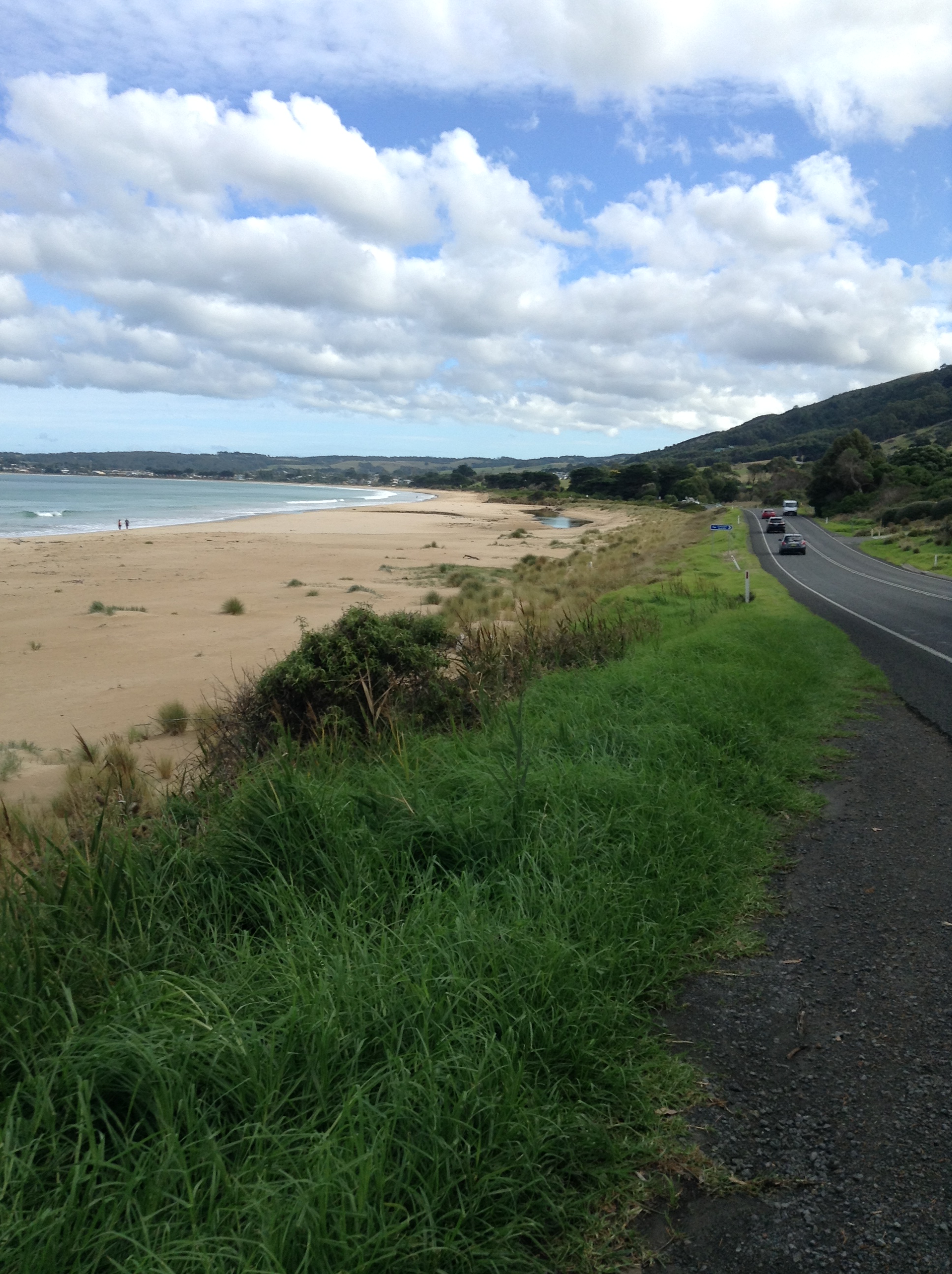
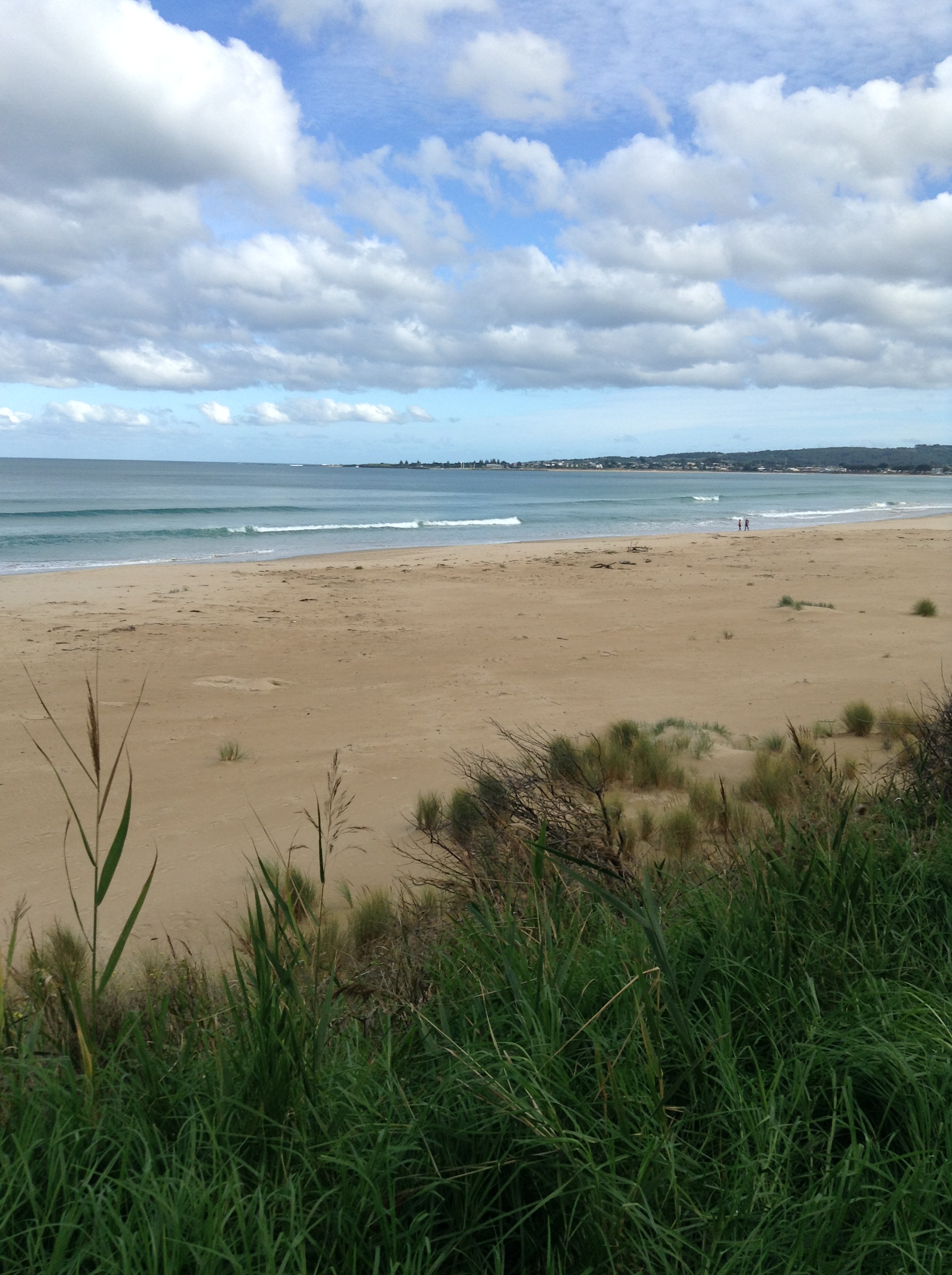
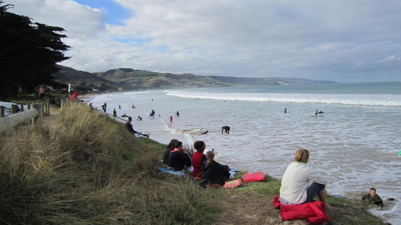
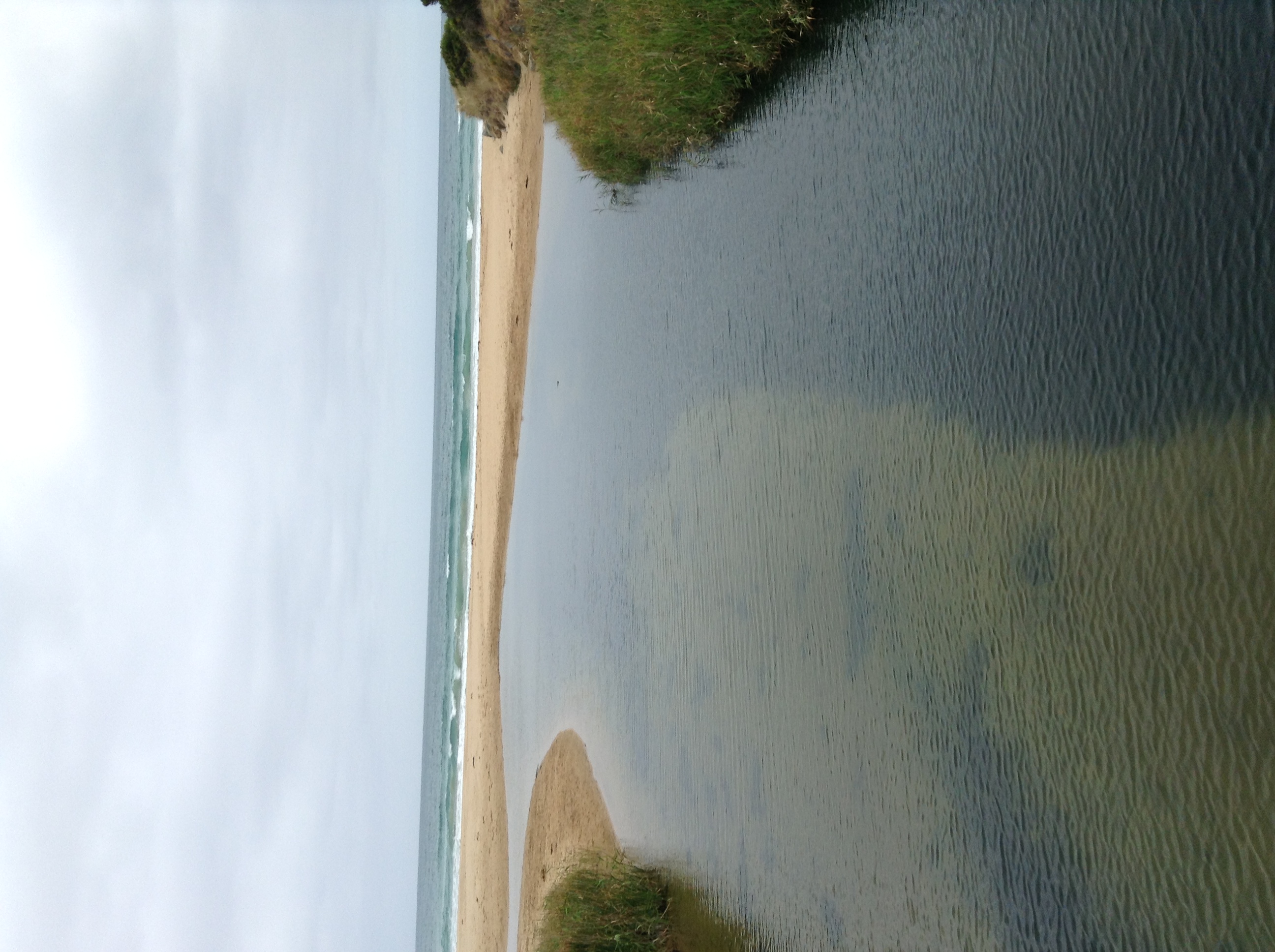
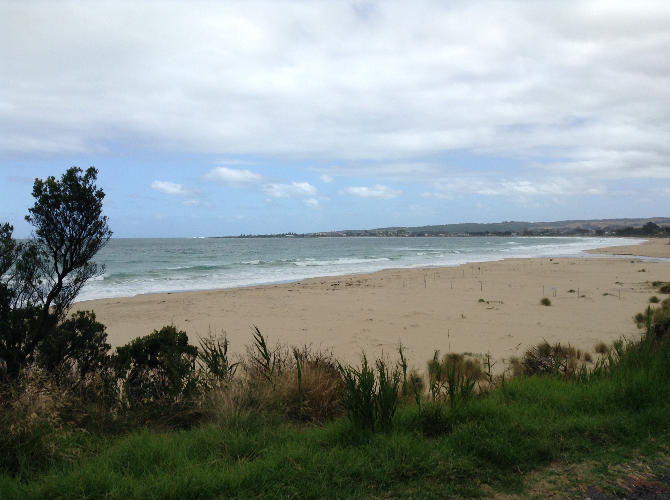
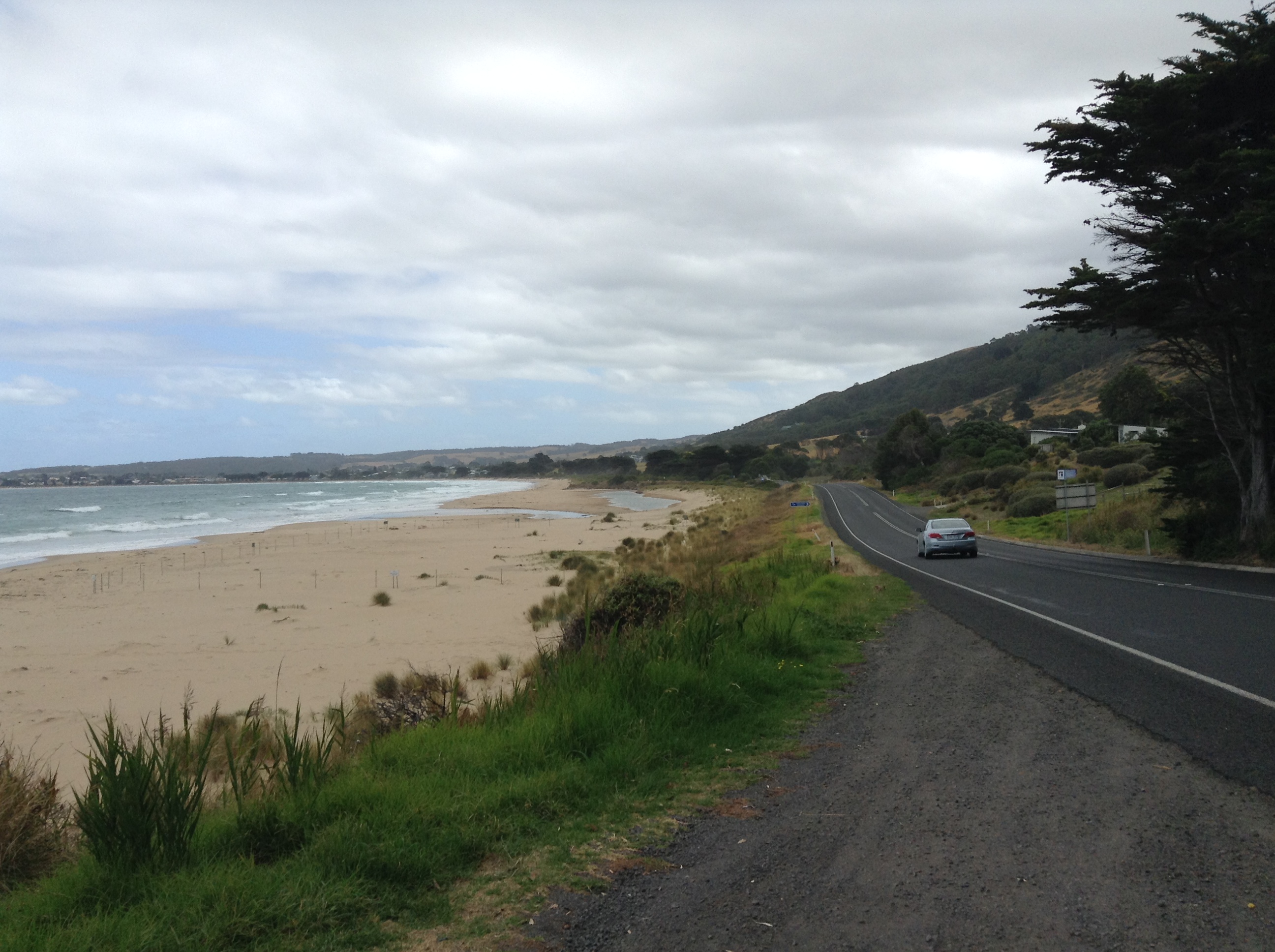
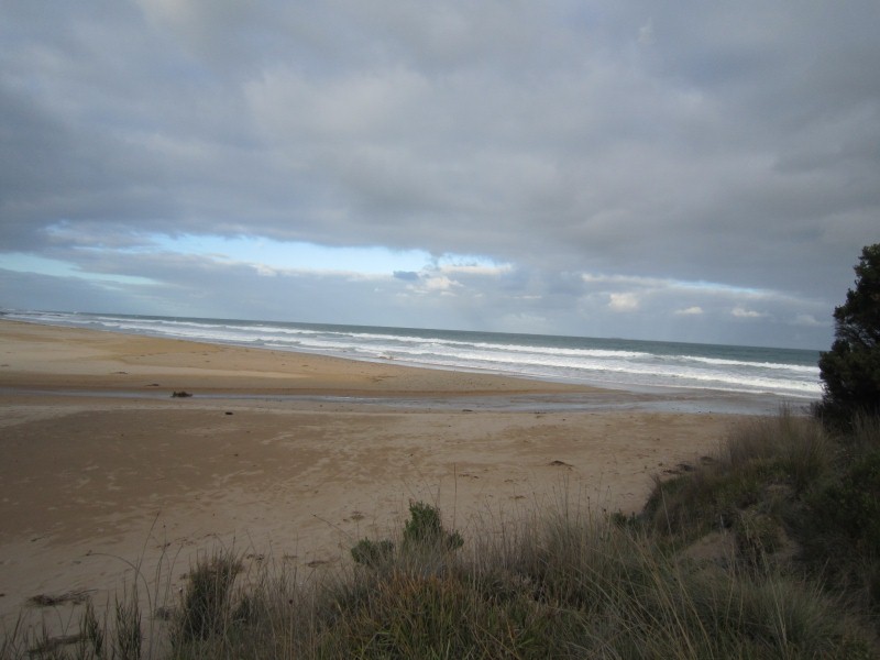
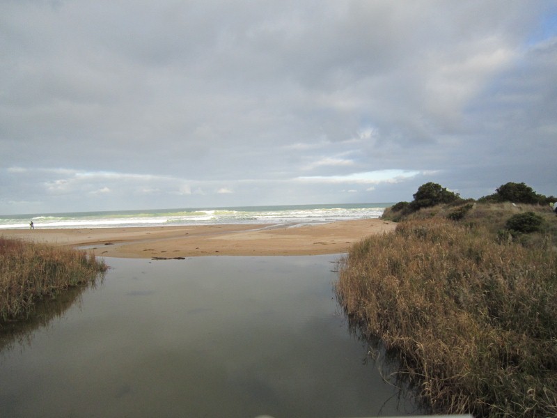
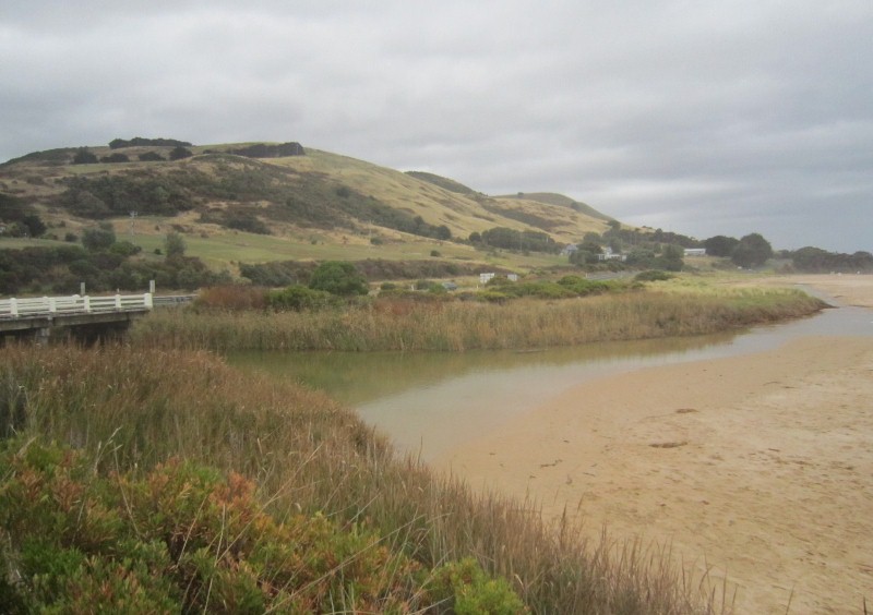
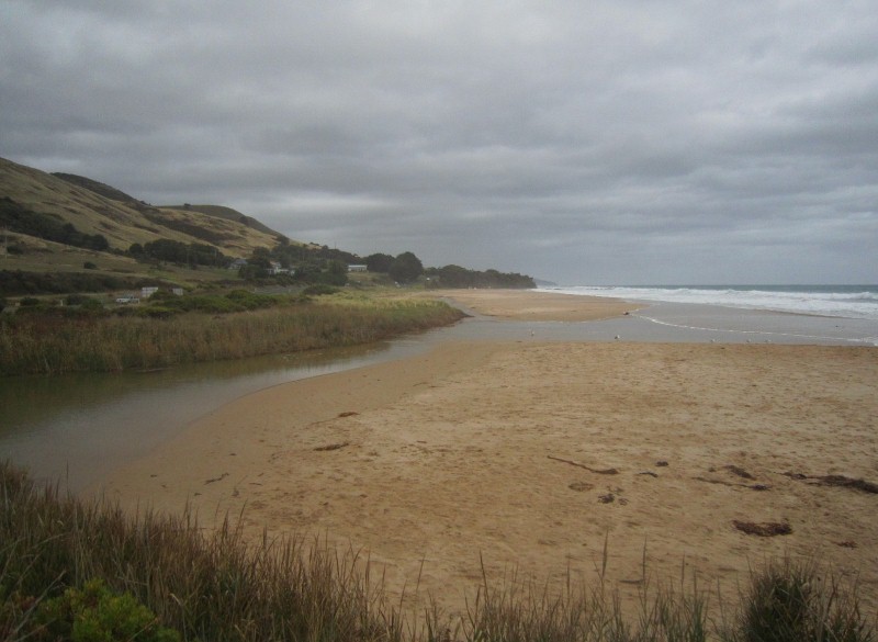
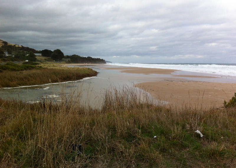
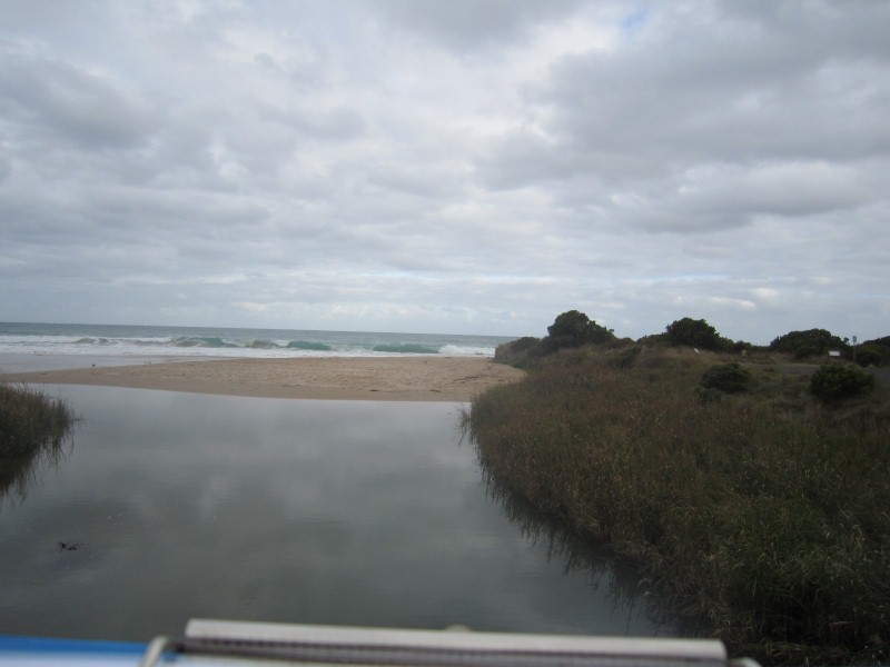
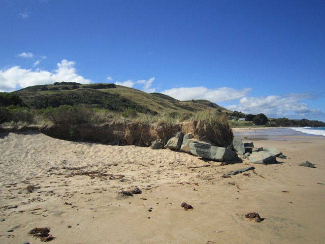
Active Mouth Condition 13-02-2008 - 29-09-2023Wild Dog Creek Estuary
92 results found (Displaying 26 - 50)
| ID | Date | Status | Details | |
|---|---|---|---|---|
| #9913 | 5 Jun 2015 | Approved |
      |
|
| #9757 | 1 May 2015 | Approved |
    |
|
| #9912 | 17 Apr 2015 | Approved |
      |
|
| #9907 | 13 Mar 2015 | Approved |
Notes:
No berm 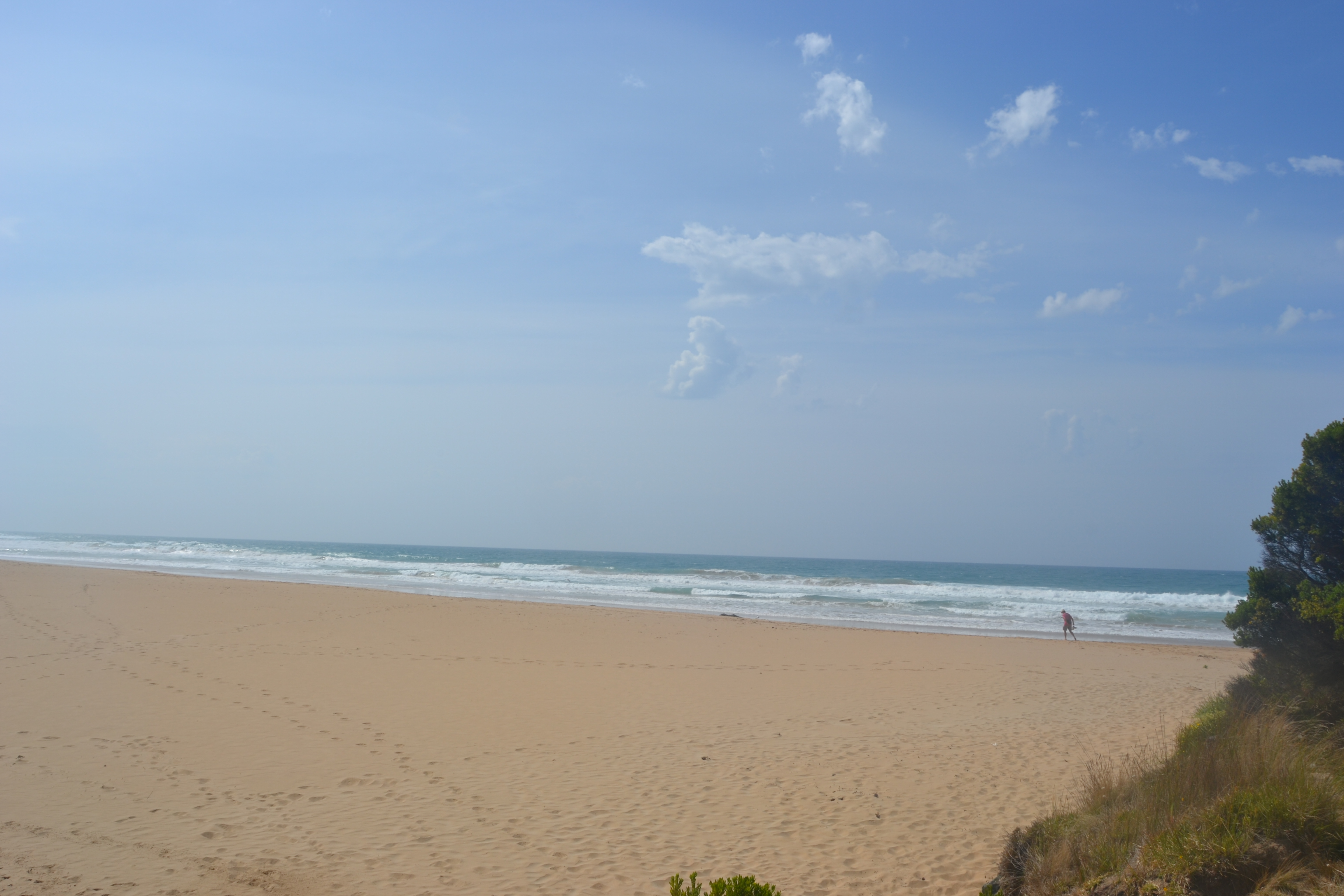  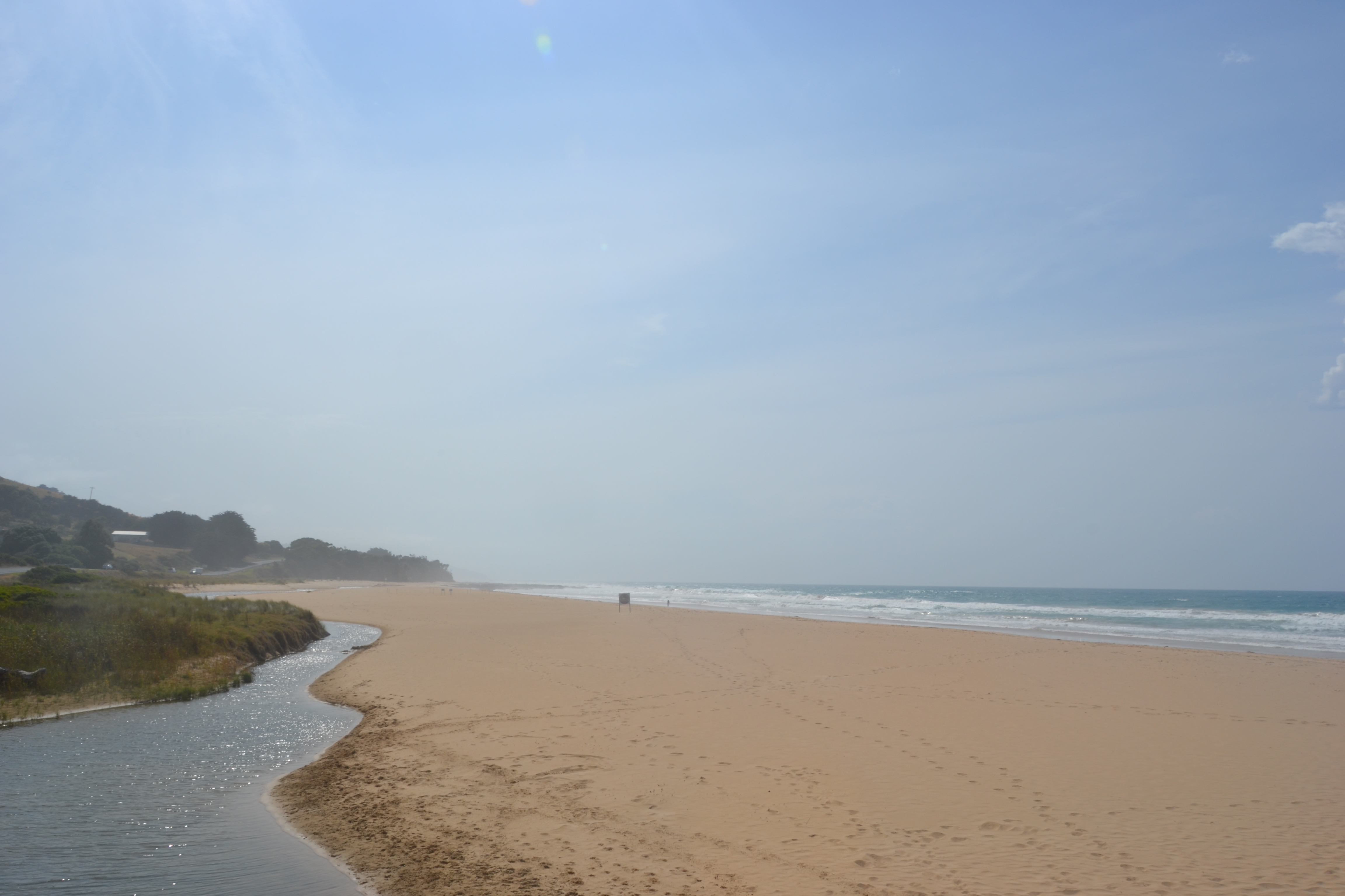 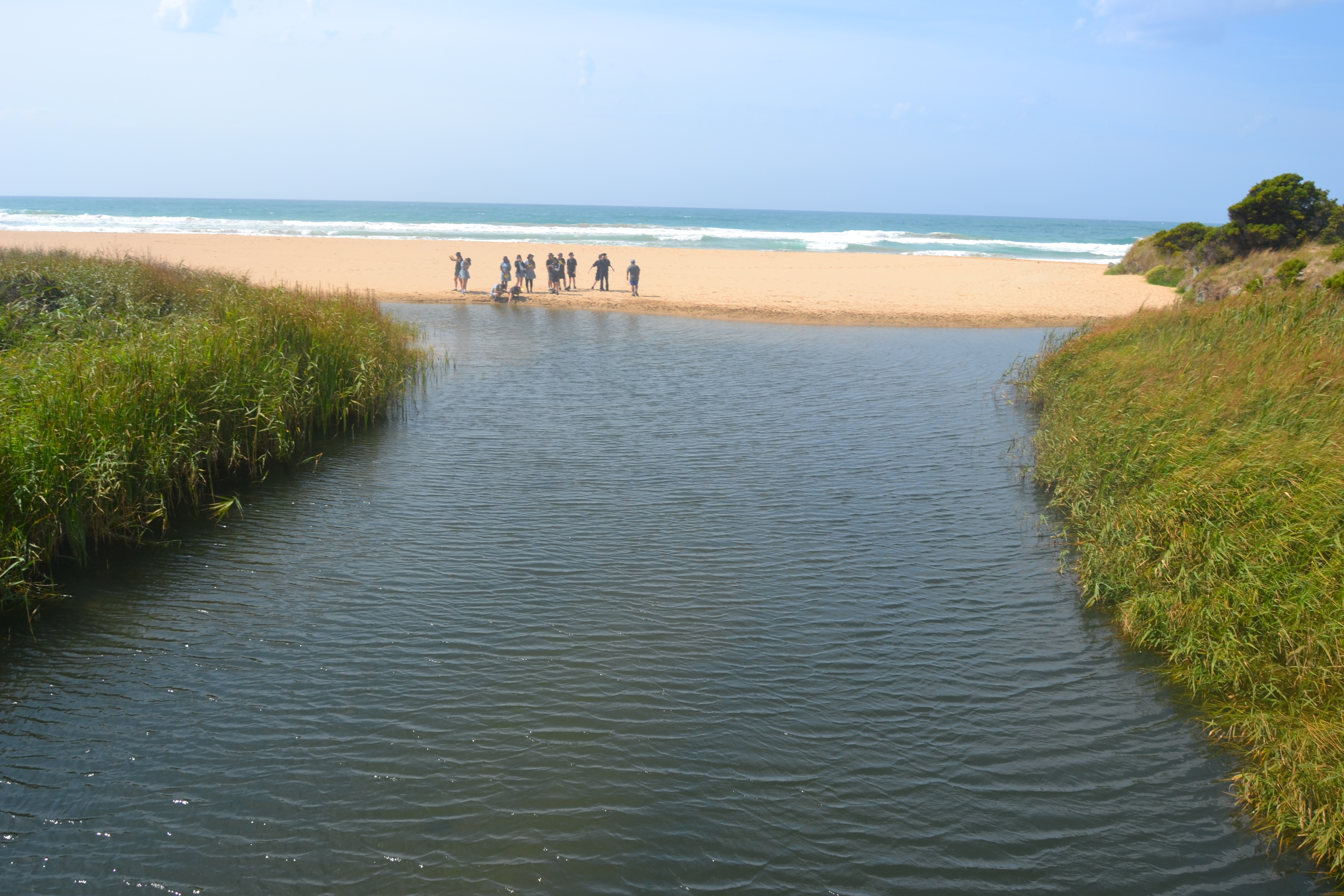 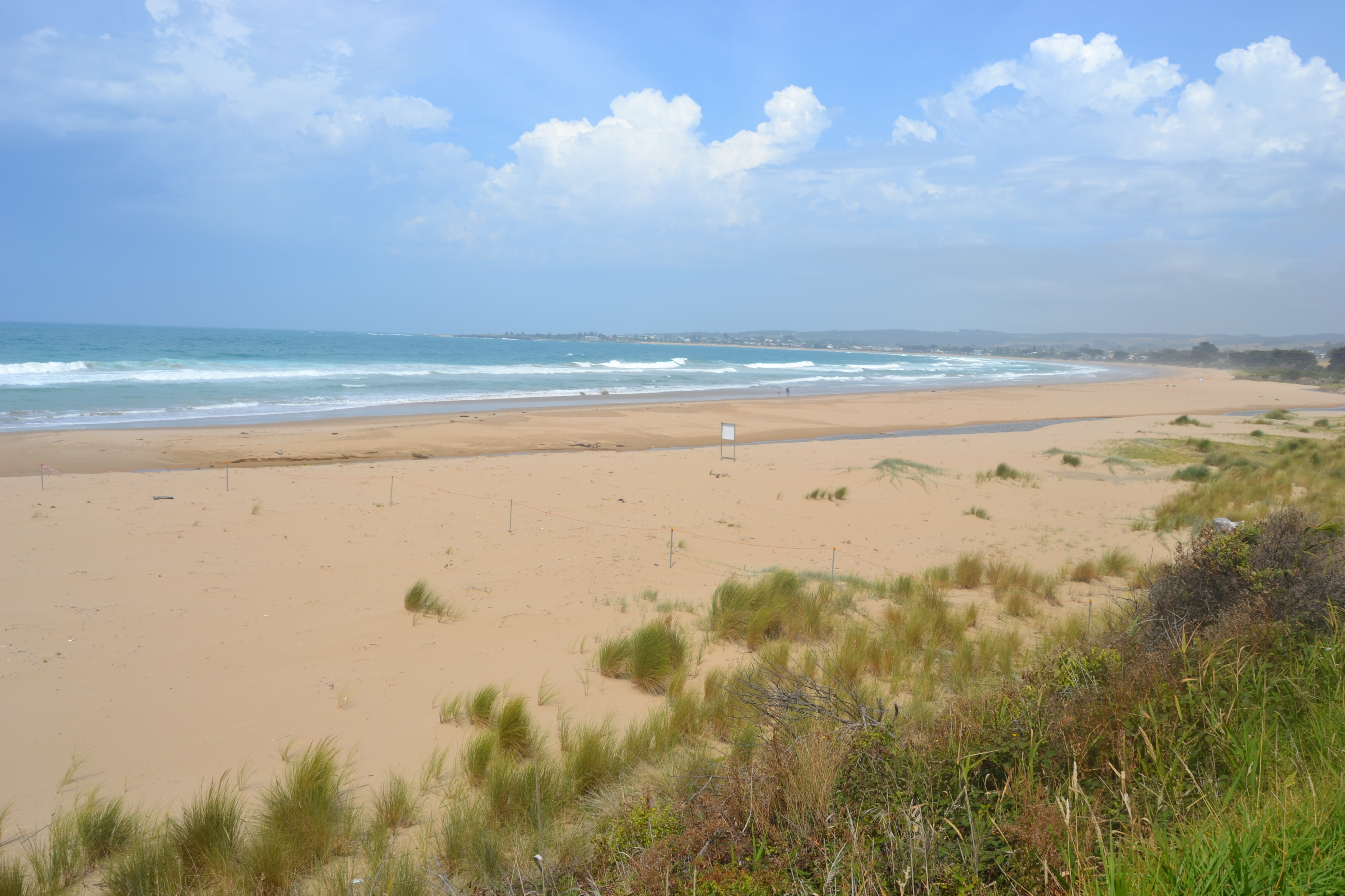 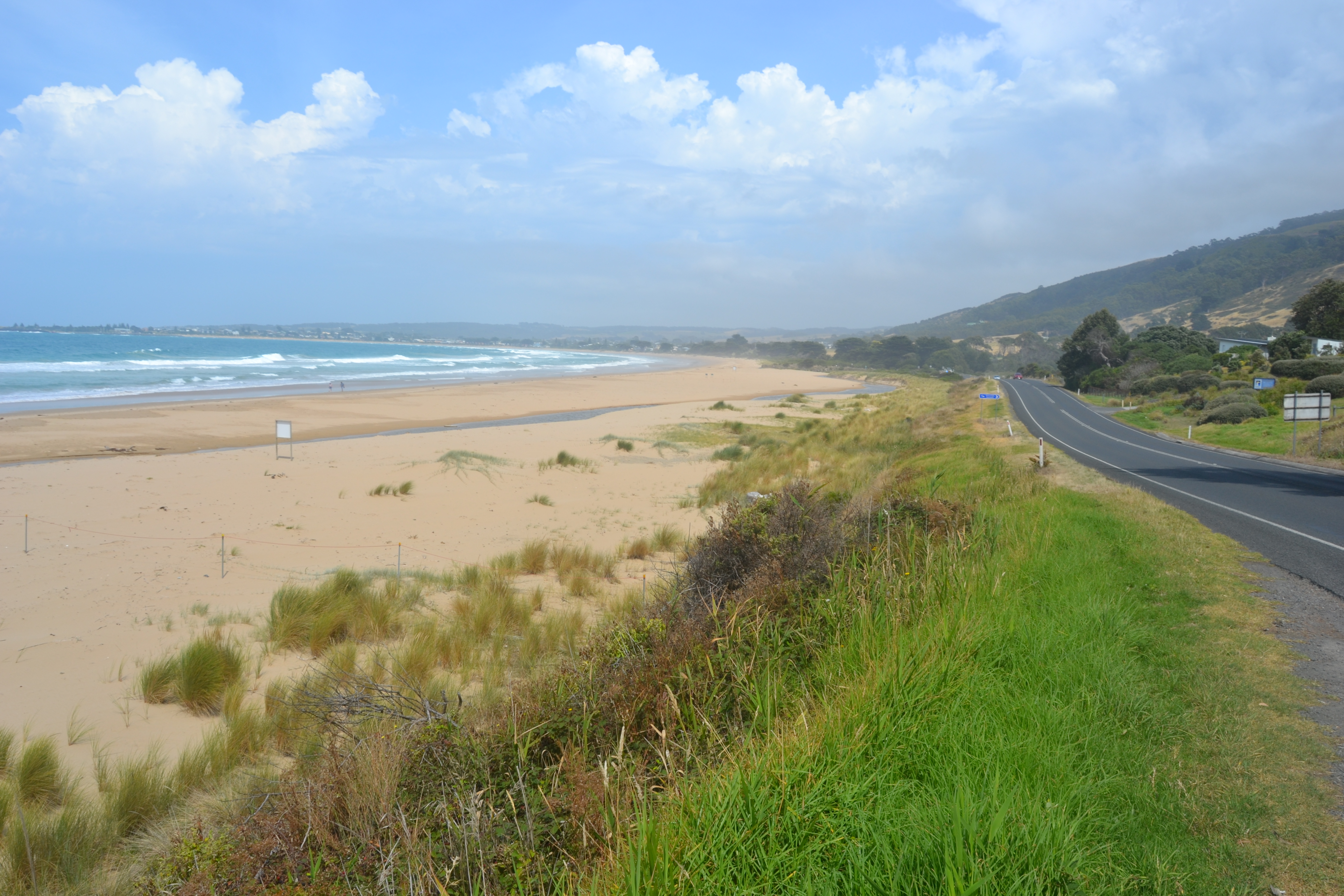 |
|
| #9906 | 13 Feb 2015 | Approved |
 |
|
| #10157 | 12 Nov 2014 | Approved | ||
| #9110 | 31 Jul 2014 | Approved | ||
| #9109 | 30 Jul 2014 | Approved |
Notes:
160 mm rainfall in last month Sea washing over bar and reaching back of beach Left bank eroded to back of beach by prior storm event |
|
| #8971 | 5 Jun 2014 | Approved |
Notes:
|
|
| #10153 | 4 Jun 2014 | Approved | ||
| #10155 | 7 May 2014 | Approved | ||
| #10156 | 23 Apr 2014 | Approved | ||
| #8954 | 19 Apr 2014 | Approved | Notes: Two photos of high tide at Pisces car park West along the beach from Wild Dog | |
| #10154 | 5 Mar 2014 | Approved | ||
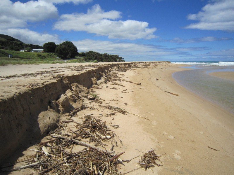
| #8974 | 6 Dec 2013 | Approved | Notes: Heavy rain and sea on one or two days in the previous weeks had caused the river to cut deeply into left bank on beech | |
| #8501 | 11 Sep 2013 | Approved | ||
| #10821 | 13 Jun 2013 | Approved |
Notes:
Length of estuary 70m Width of estuary at mouth 27.6m Depth at mouth 40cm Depth at halfway mark 56cm Depth at bridge 38cm Width of bridge 12m |
|
| #10822 | 9 May 2013 | Approved |
Notes:
Length 95m Width mouth 32.5m Width middle 5m Depth mouth 3.2cm Depth middle 1.2cm Depth bridge 67cm |
|
| #8500 | 4 May 2013 | Approved | ||
| #10823 | 18 Apr 2013 | Approved |
Notes:
Width of top under bridge 15.5m Depth of top 64.5cm Width of mouth 5.5m Depth of mouth 4.5cm Width of middle 3m Depth of middle 4.5cm Length of river 123m |
|
| #8947 | 2 Apr 2013 | Approved |
Notes:
River going out about 50 m from West groin. Sea flooding over sand bank as on previous 2 days Rainfall 8 mm previous day |
|
| #10824 | 14 Mar 2013 | Approved |
Notes:
Length to mouth 517m Width of mouth 9.8m Depth of mouth 5cm Width of middle 27m Depth at middle 61cm
|
|
| #8913 | 27 Feb 2013 | Approved | ||
| #10825 | 8 Aug 2012 | Approved |
|
|
| #7065 | 12 Mar 2012 | Approved | Notes: At low tide only a narrow channel is flowing out about 100m from West wall but at high tide the west end of the beach is substantially covered. | |


All content, files, data and images provided by the EstuaryWatch Data Portal and Gallery are subject to a Creative Commons Attribution License
Content is made available to be used in any way, and should always attribute EstuaryWatch and www.estuarywatch.org.au