EstuaryWatch Data Portal
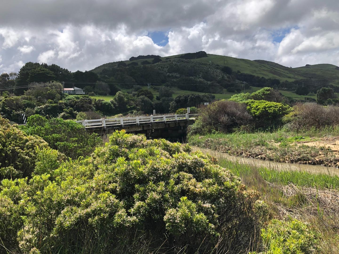
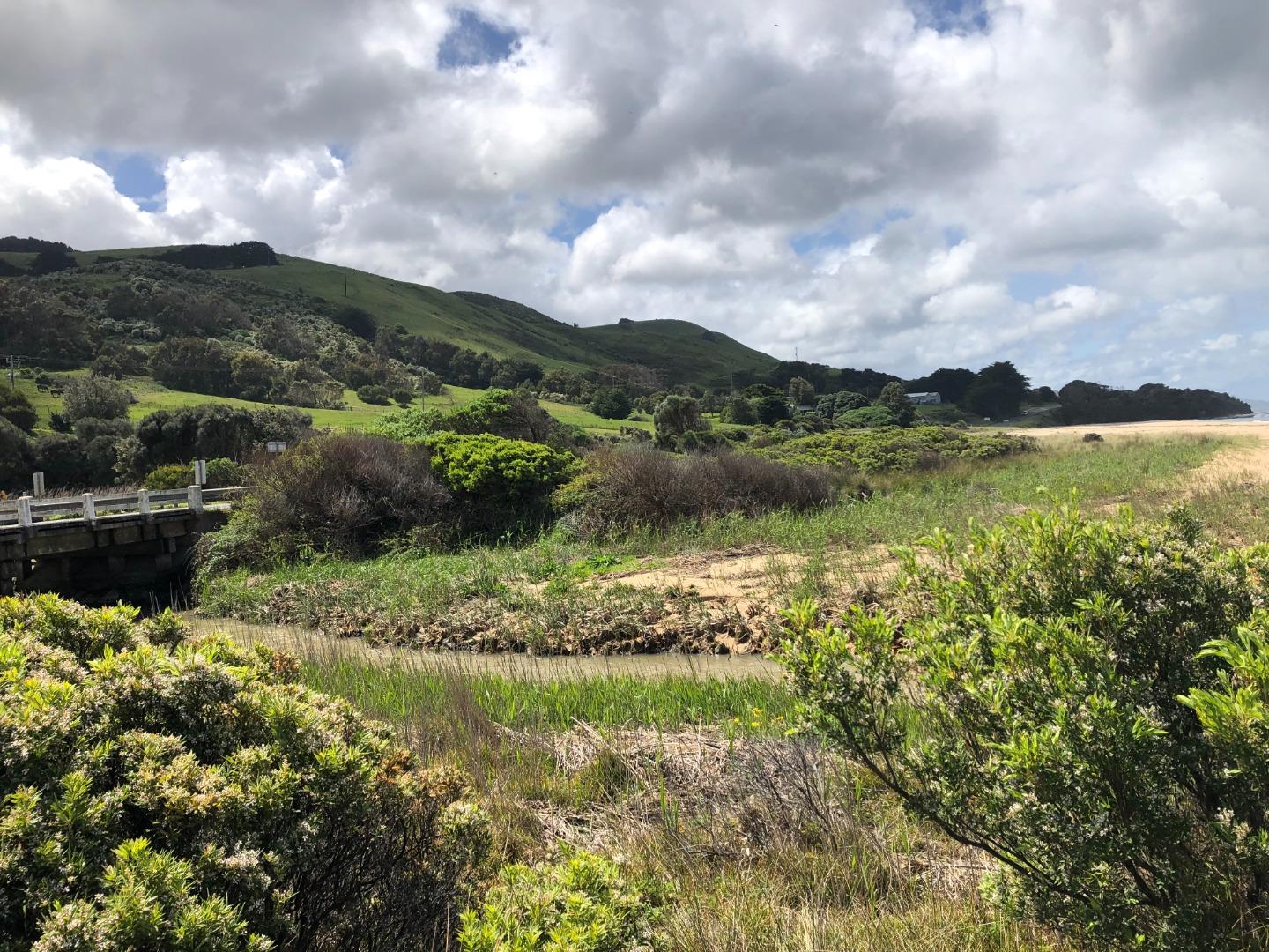
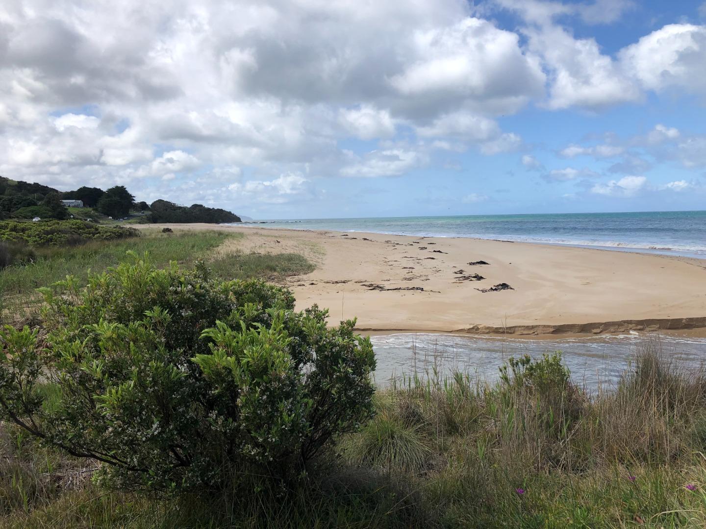
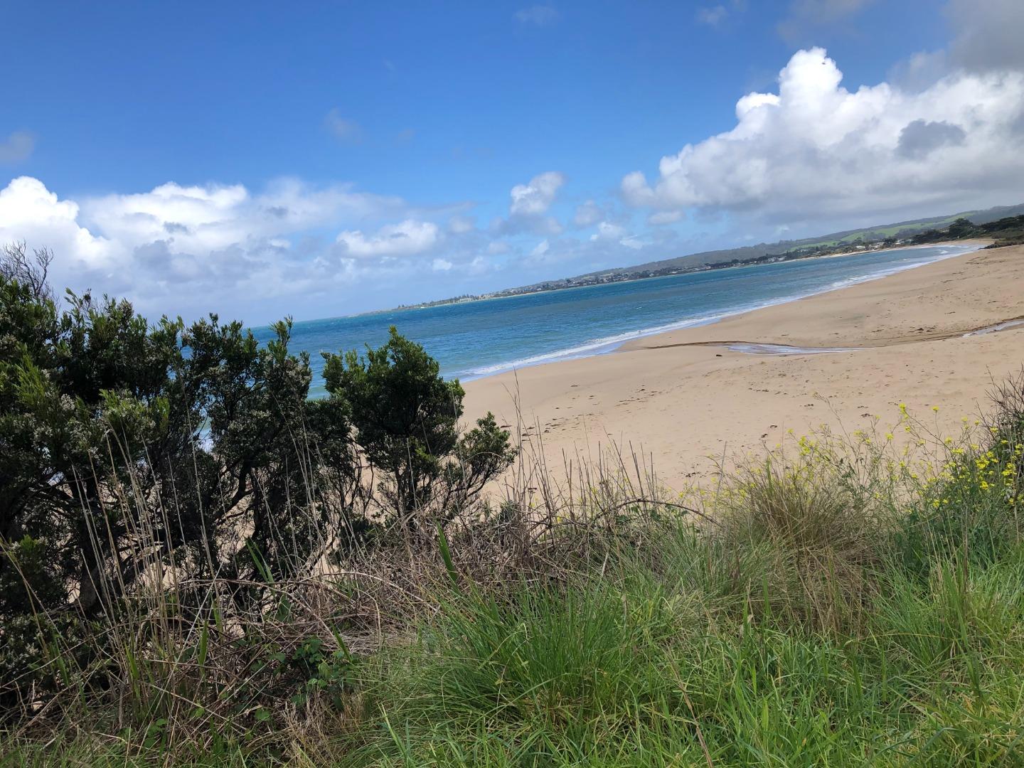
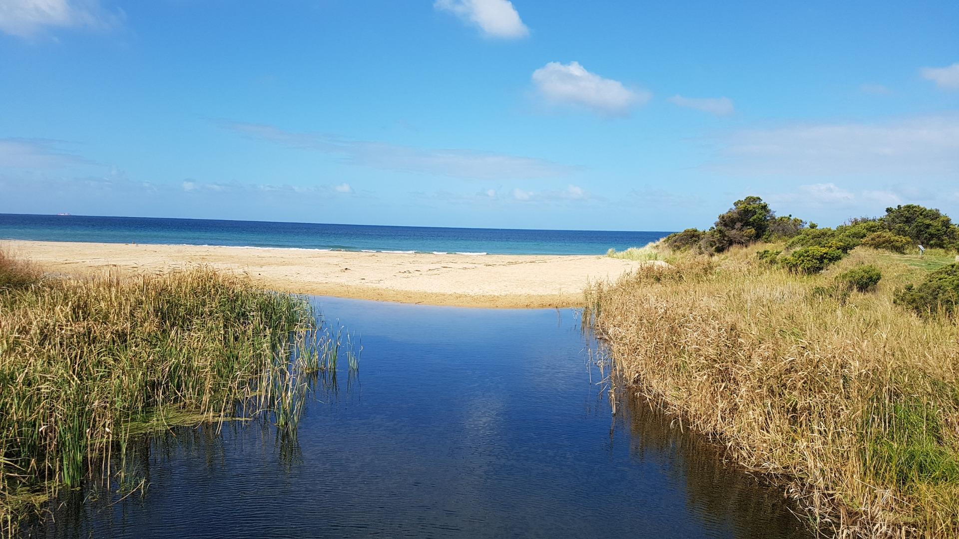
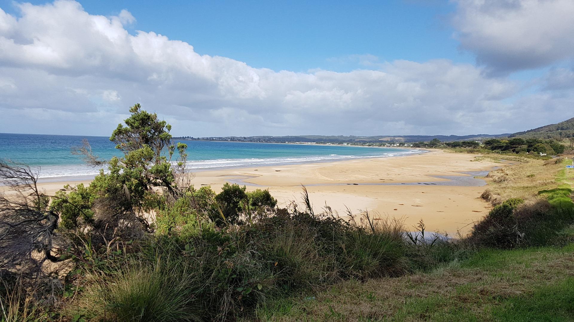
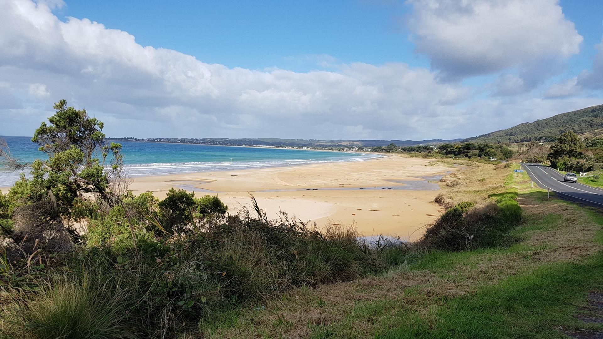
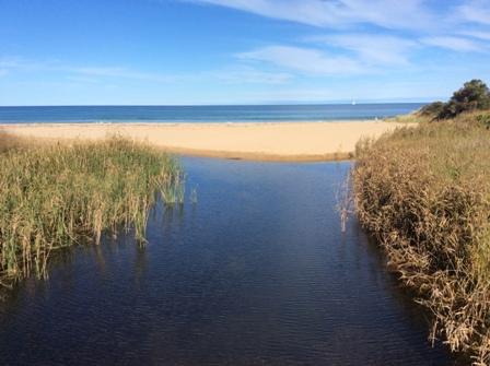
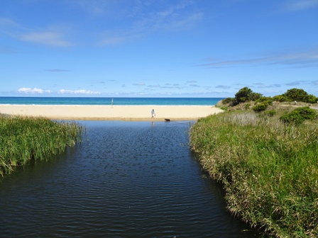
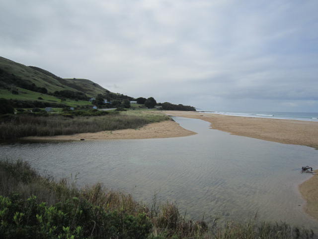
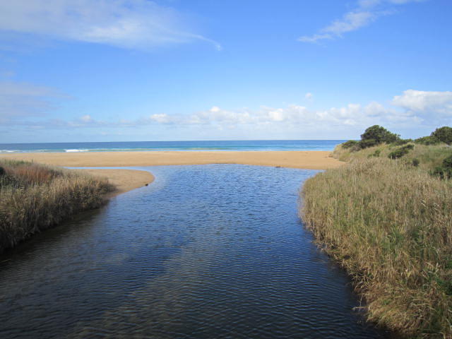
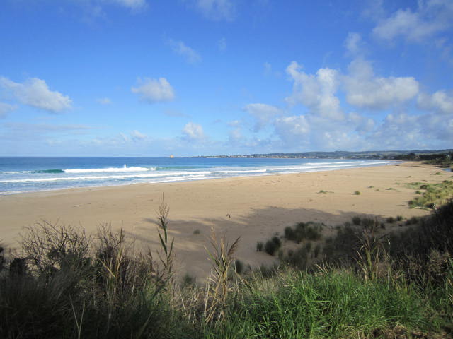
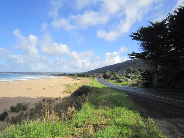
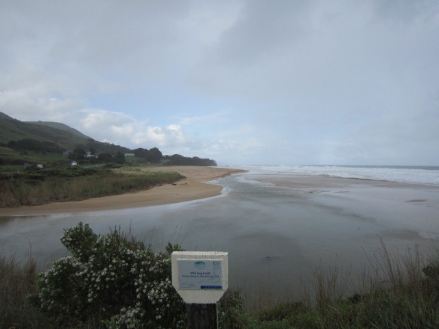
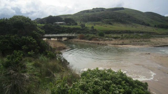
WMC Wild Dog Observation Site
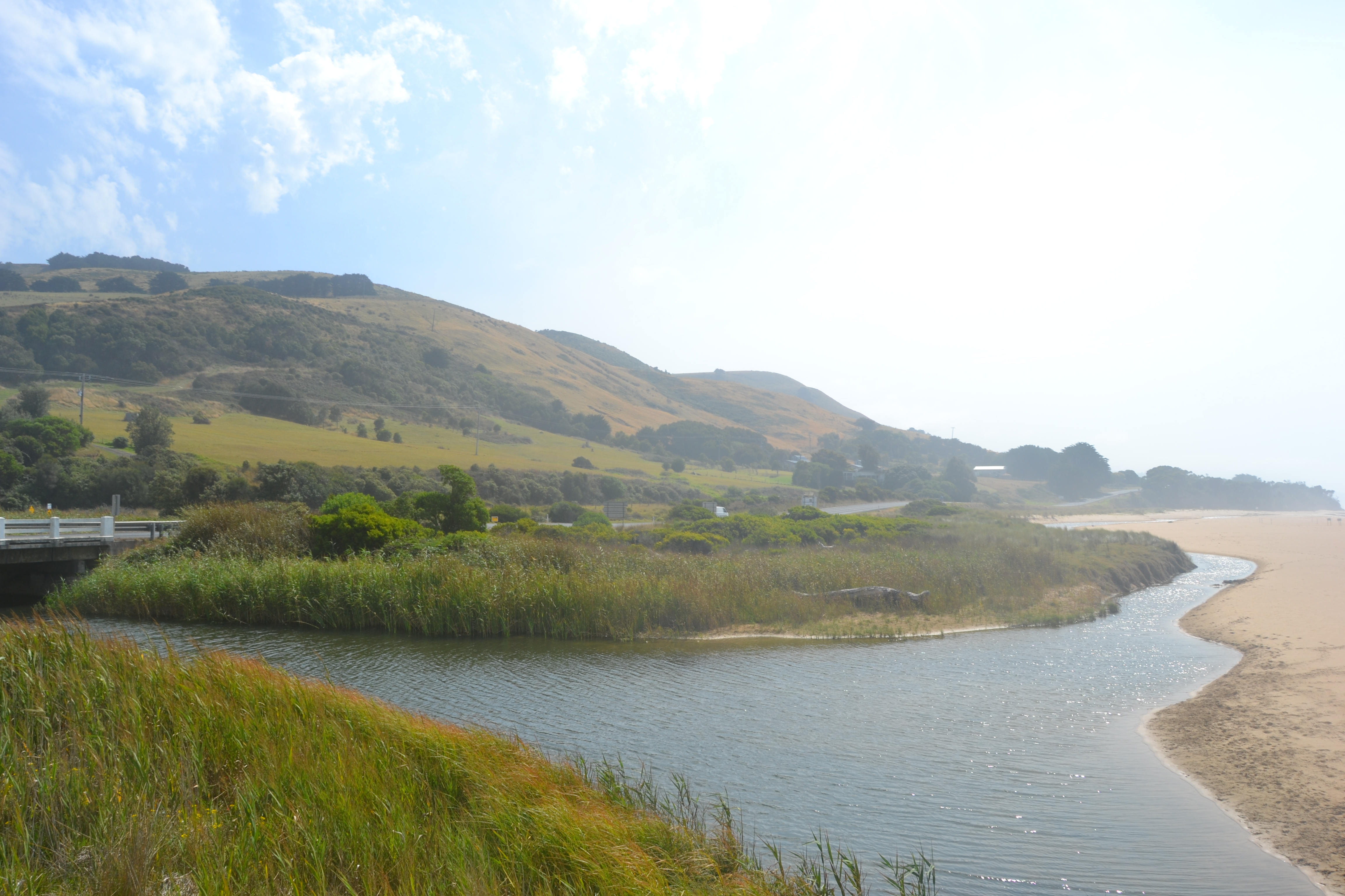
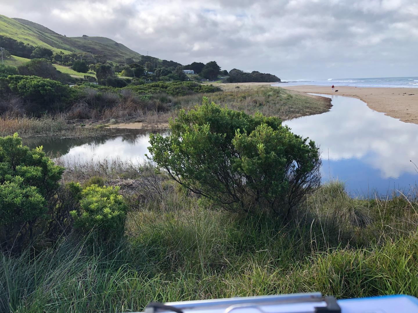
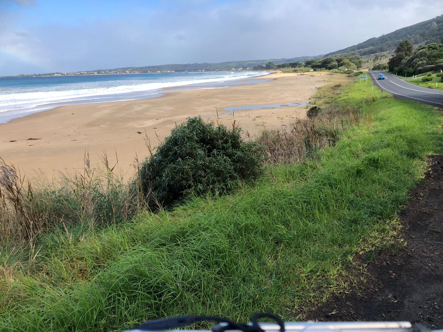
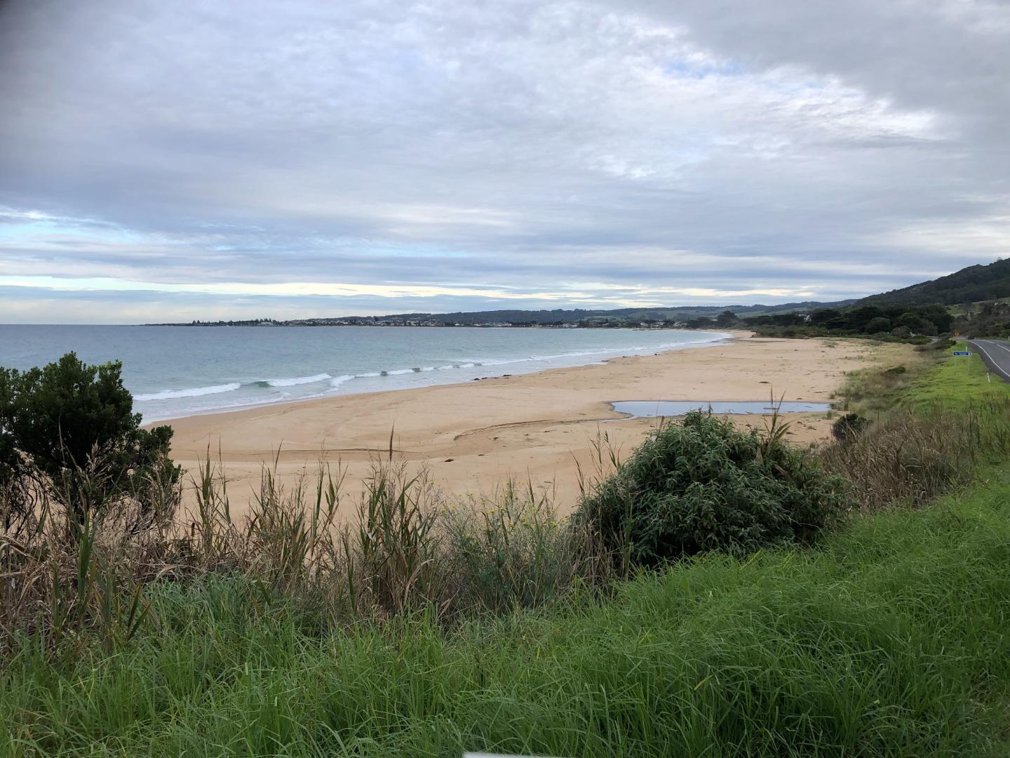
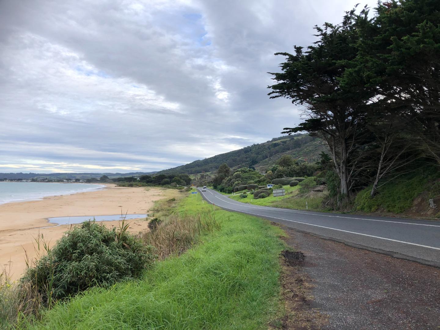
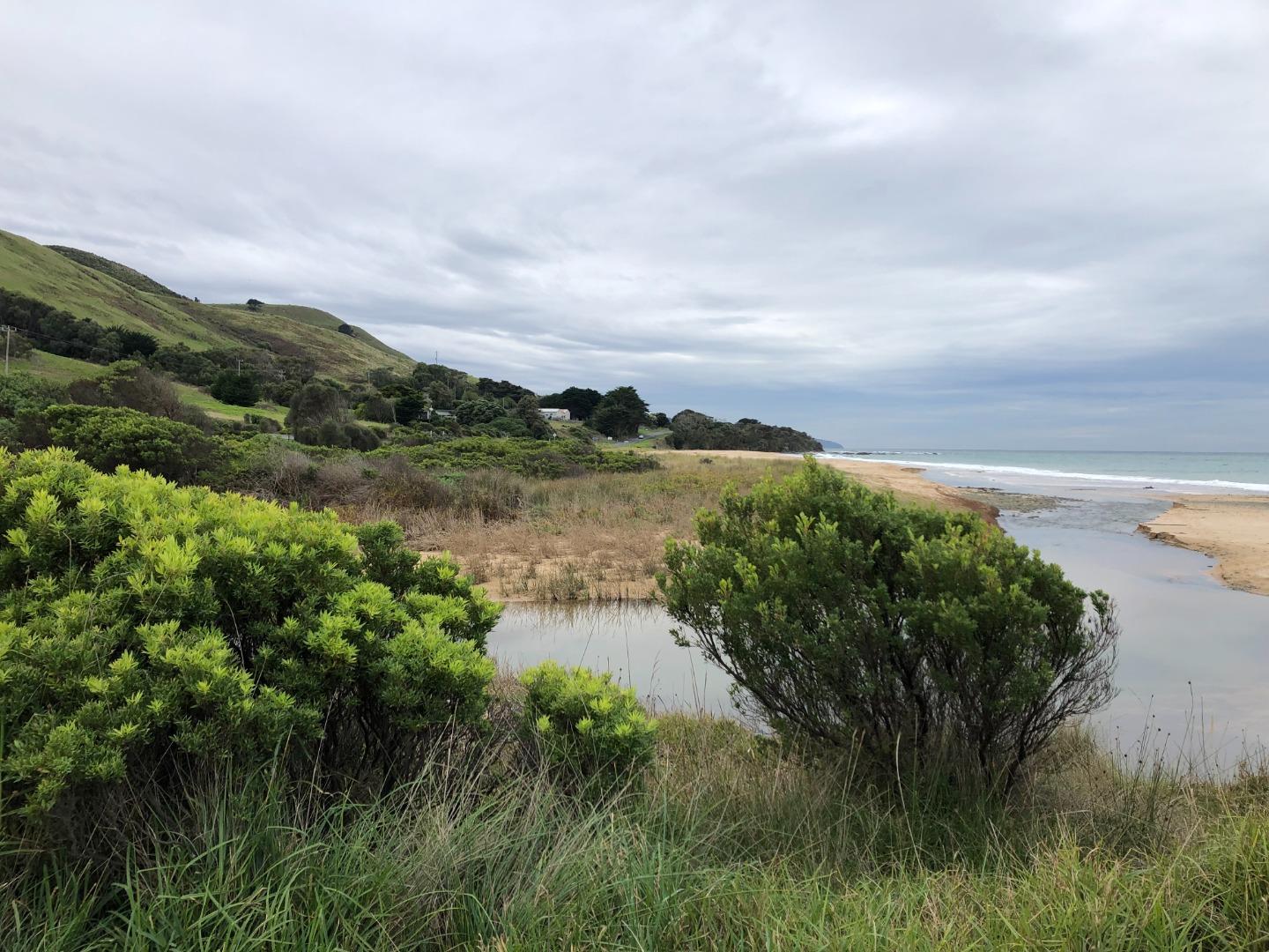
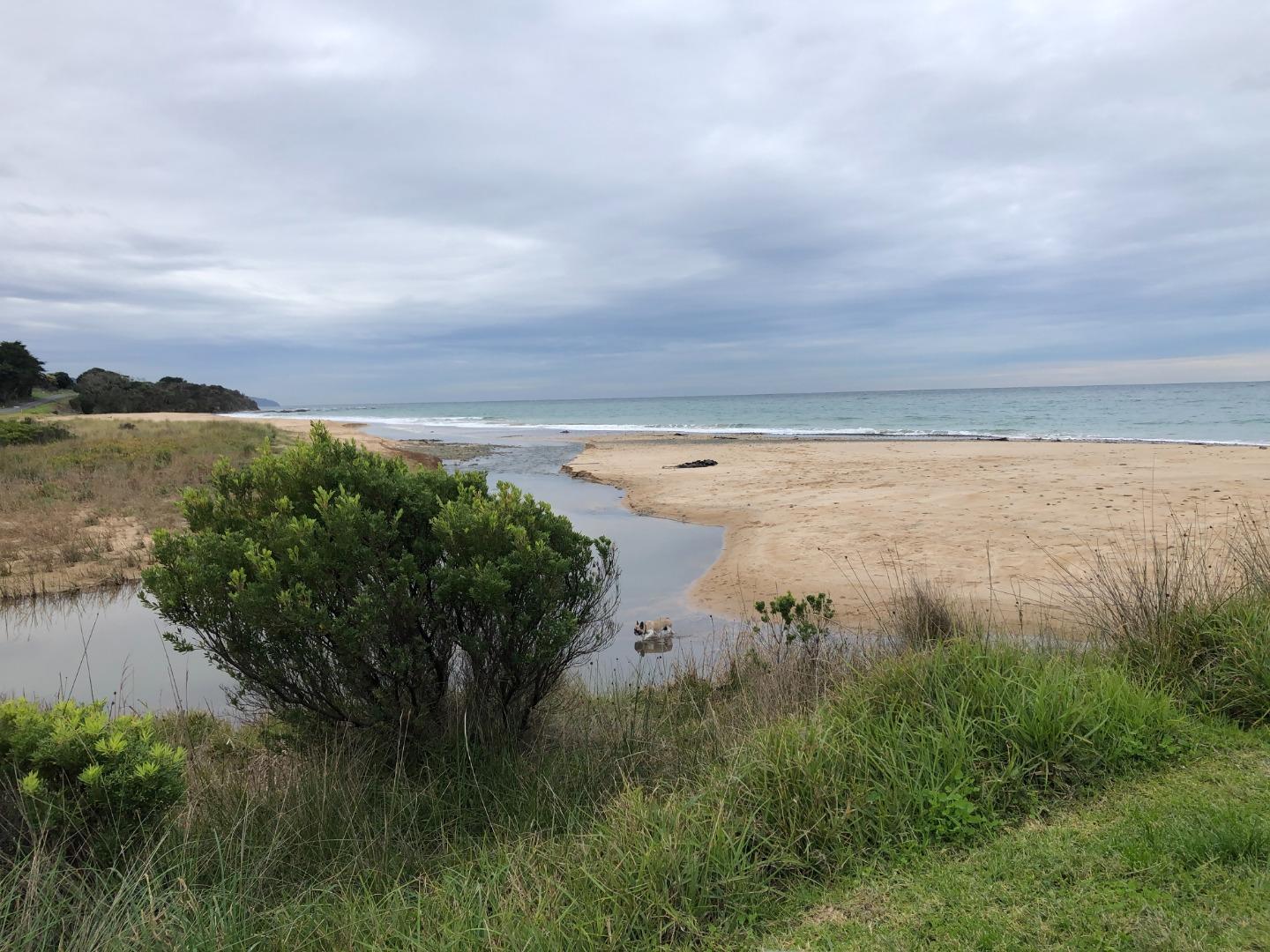
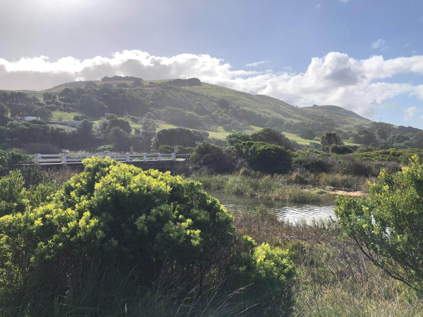
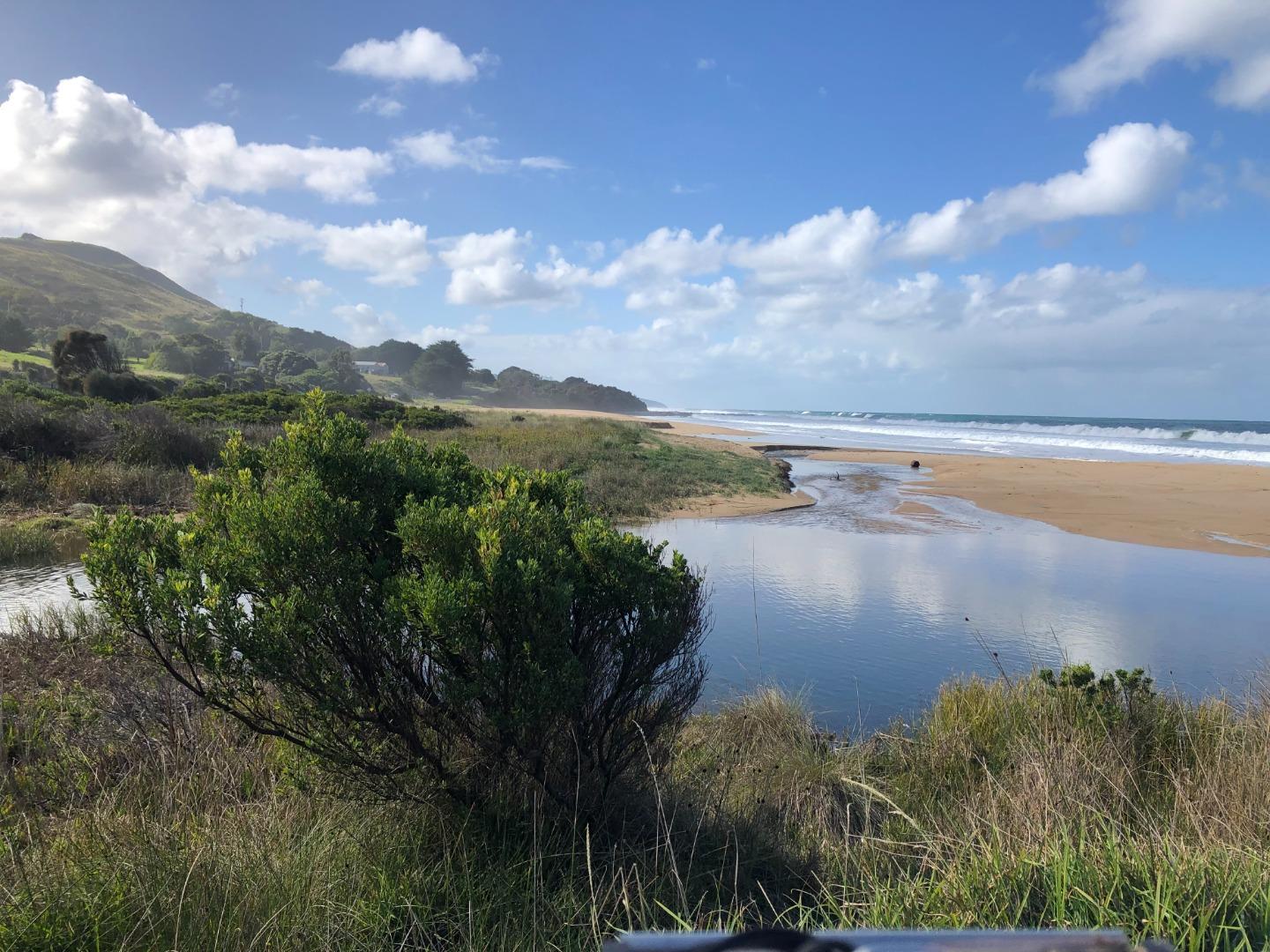
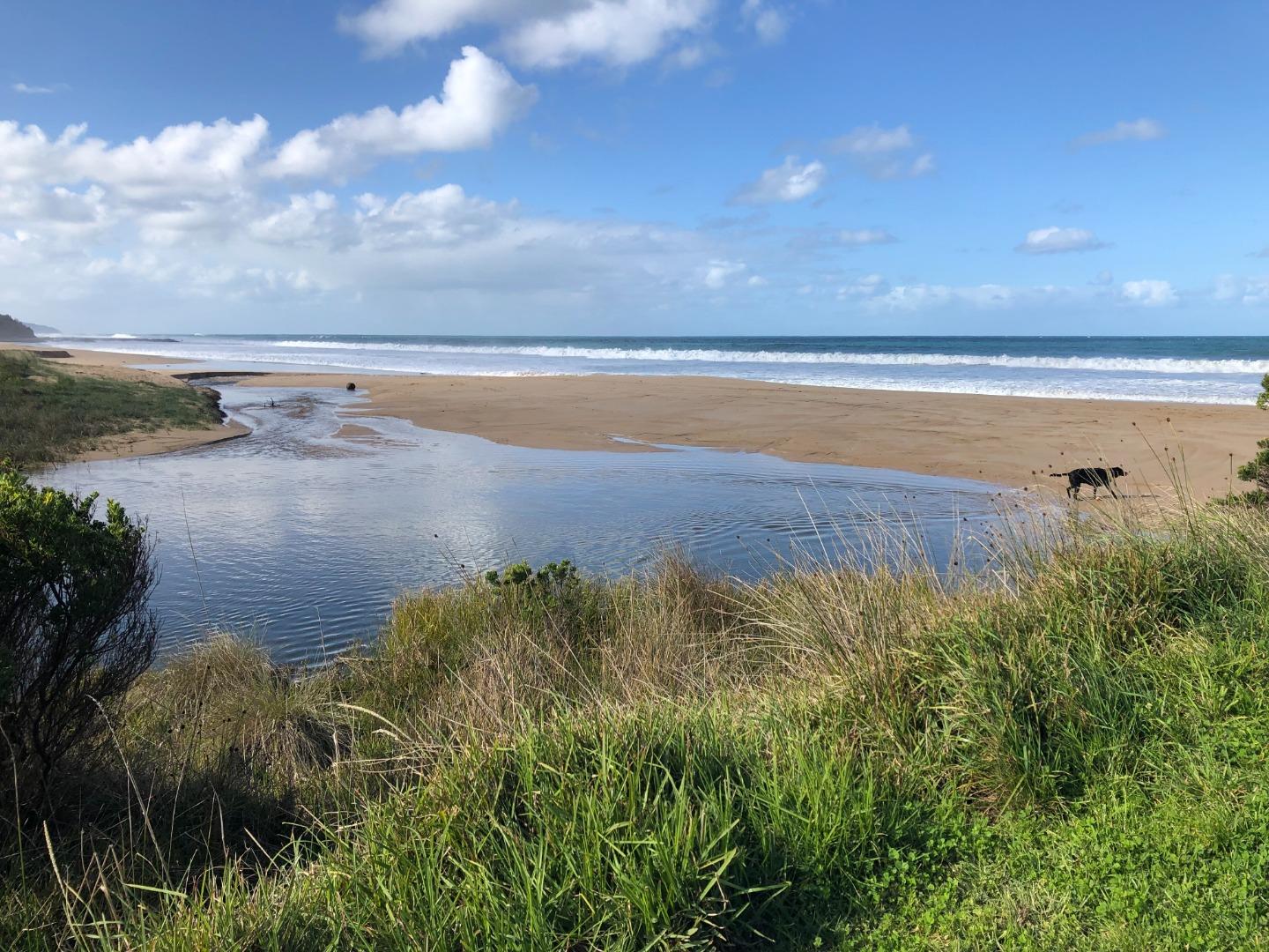
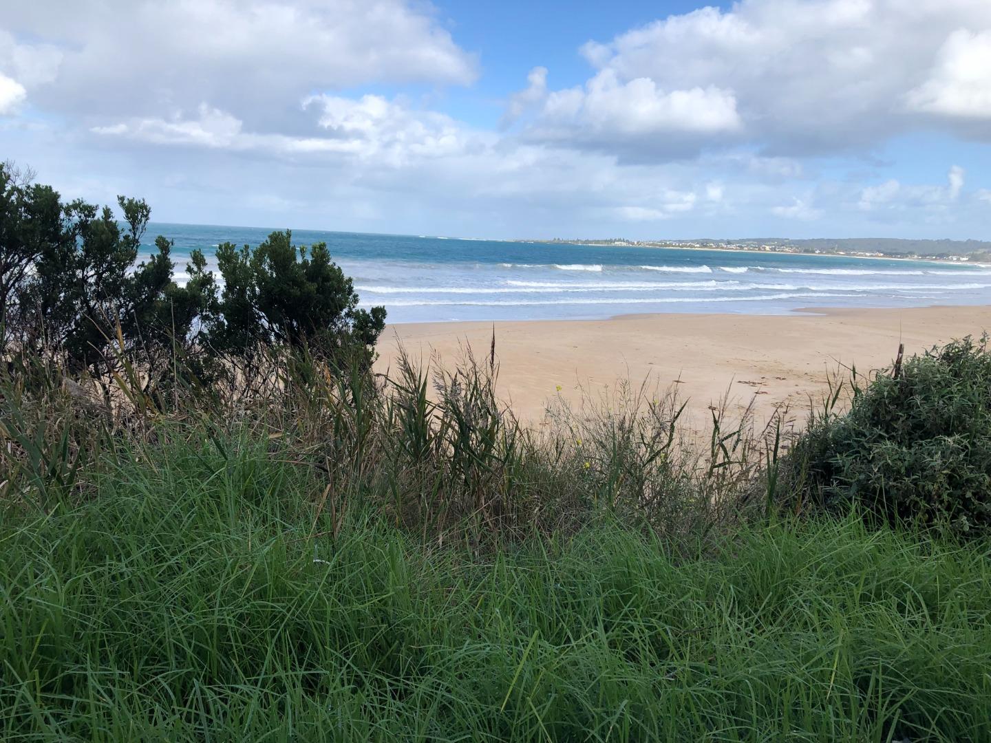
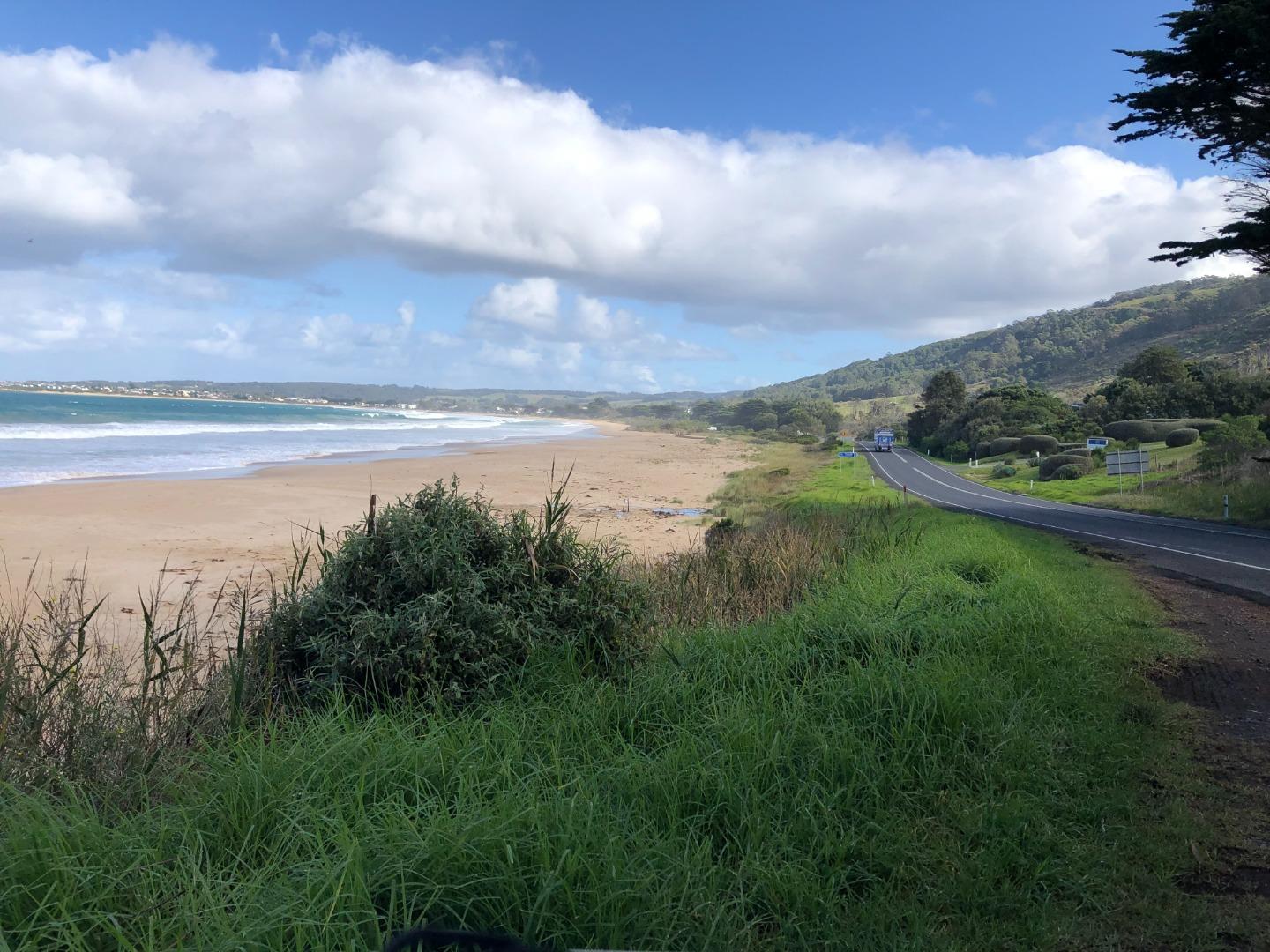
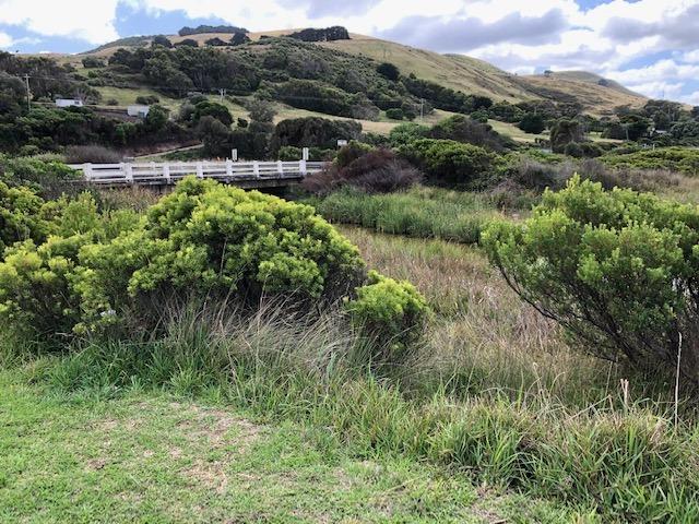
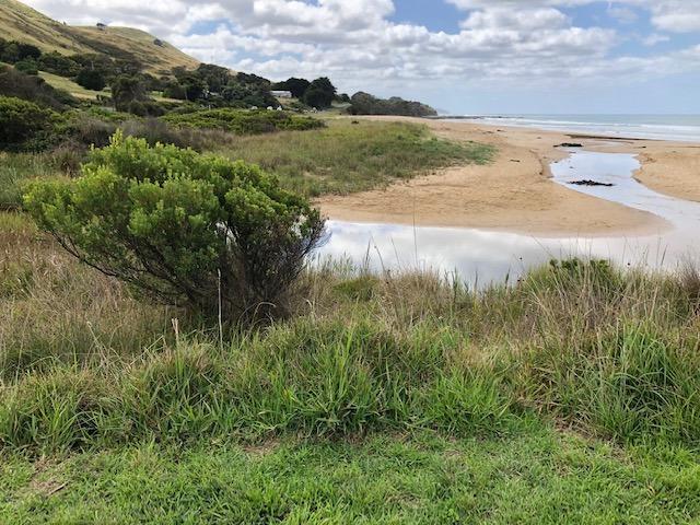
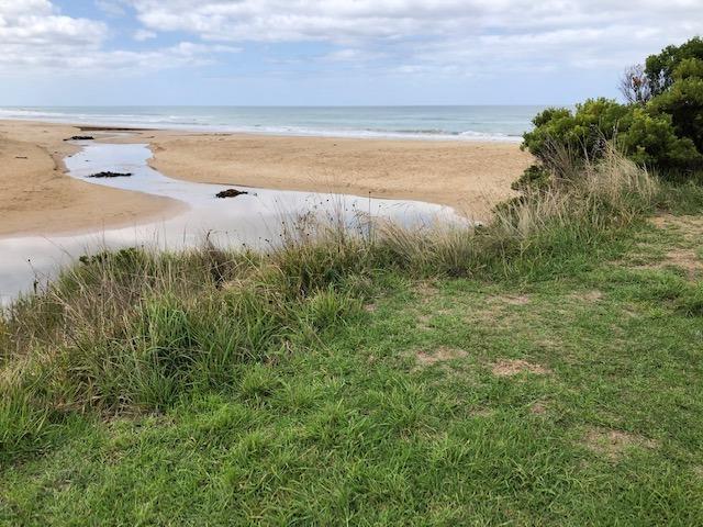
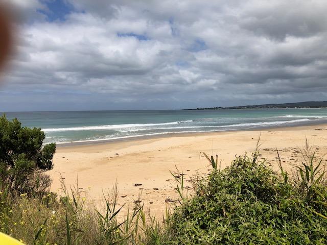
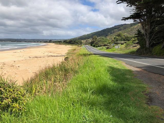
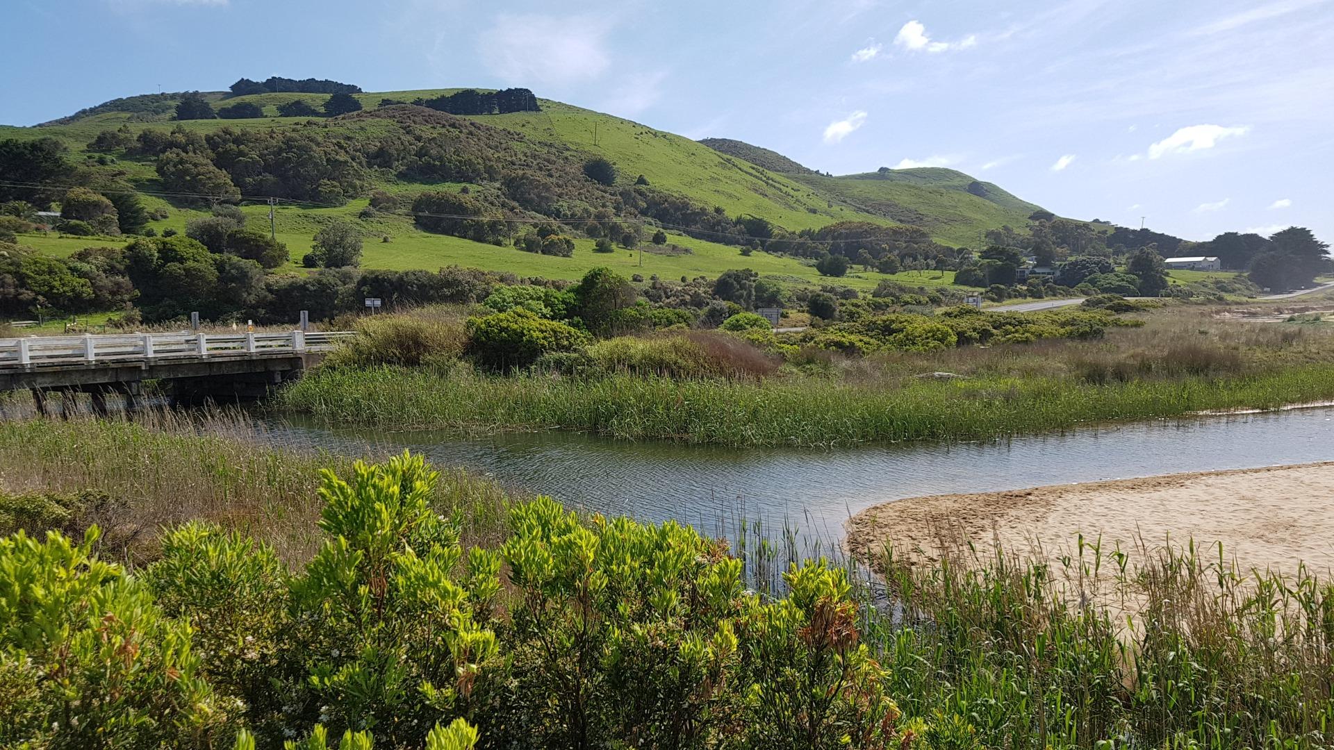
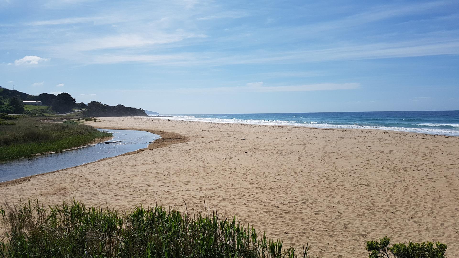
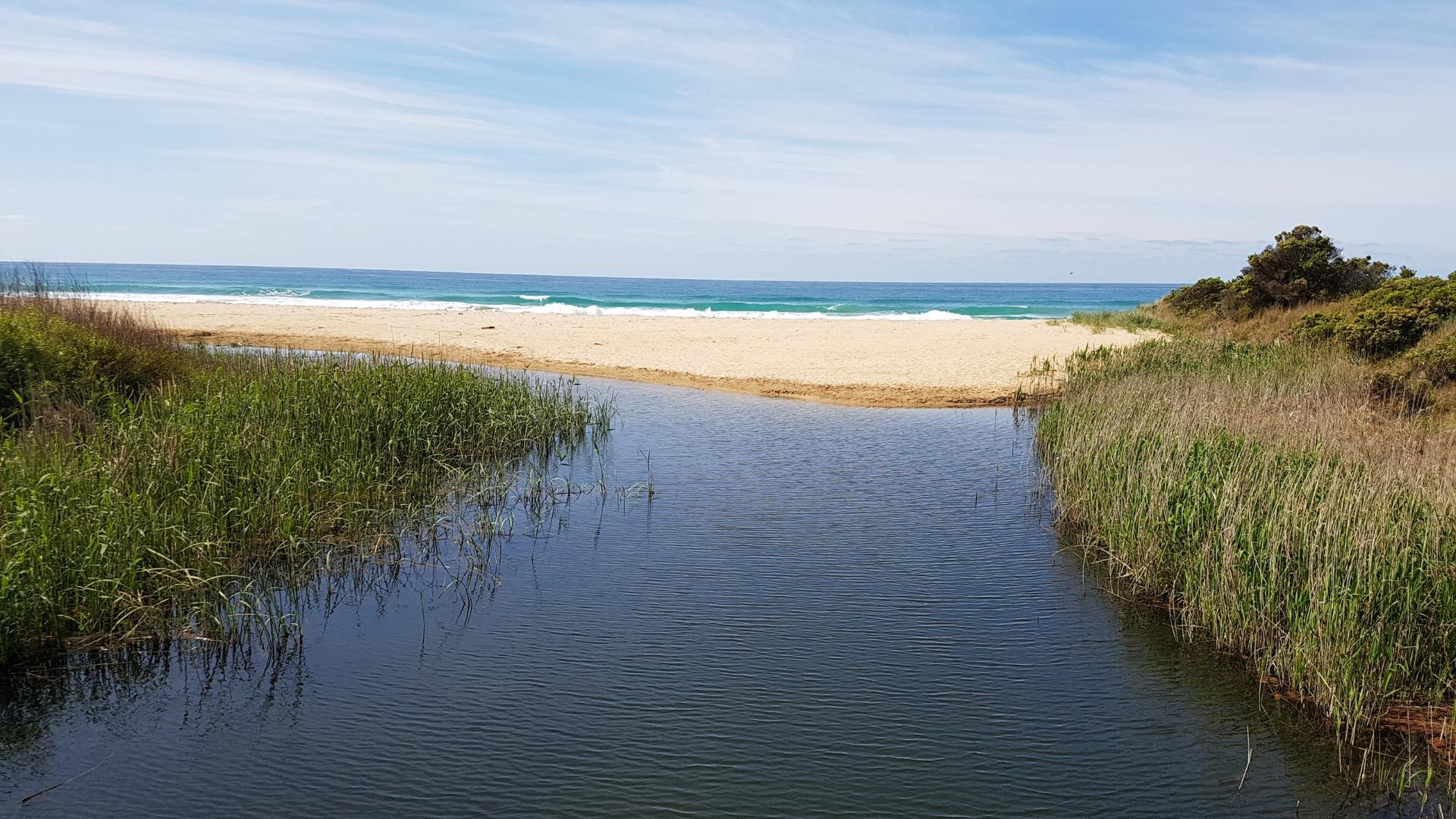
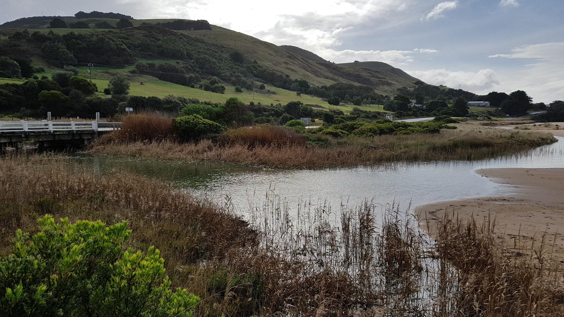
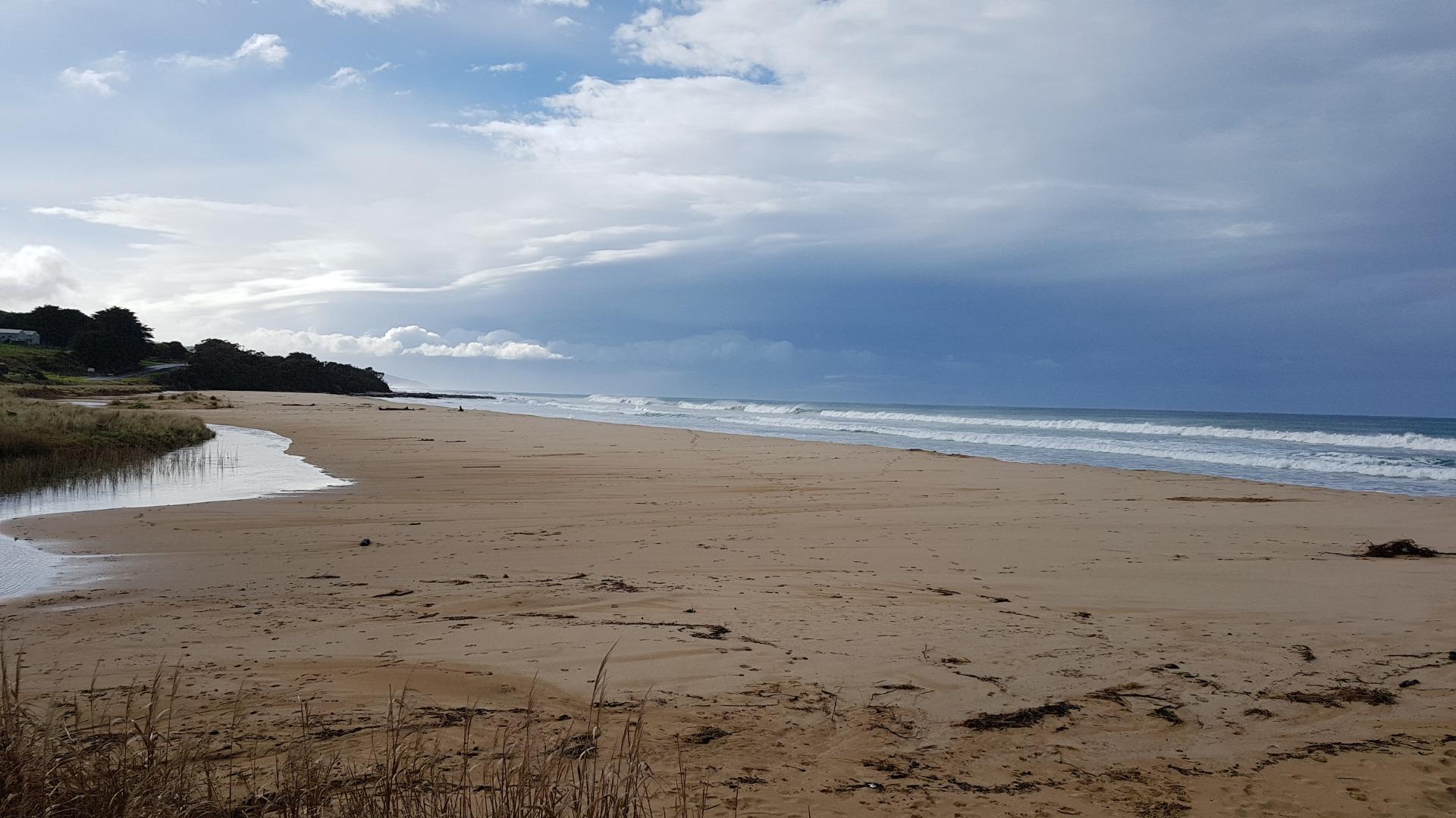
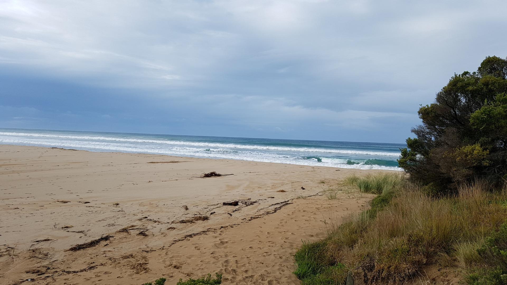
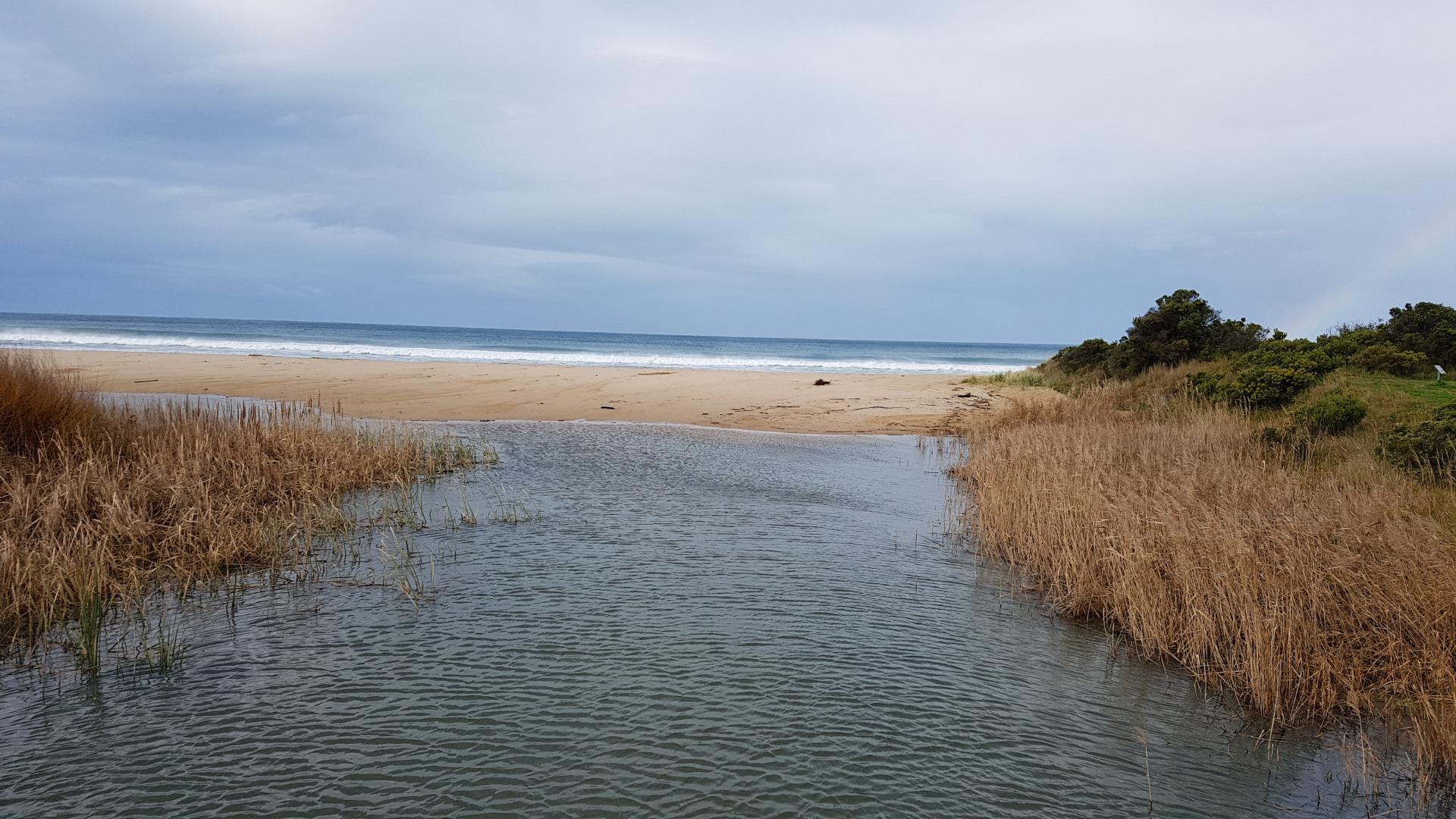
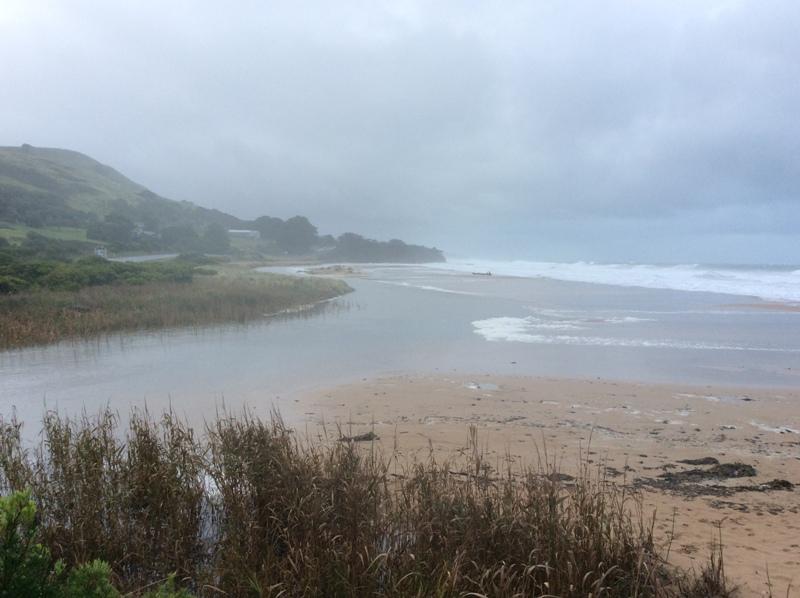
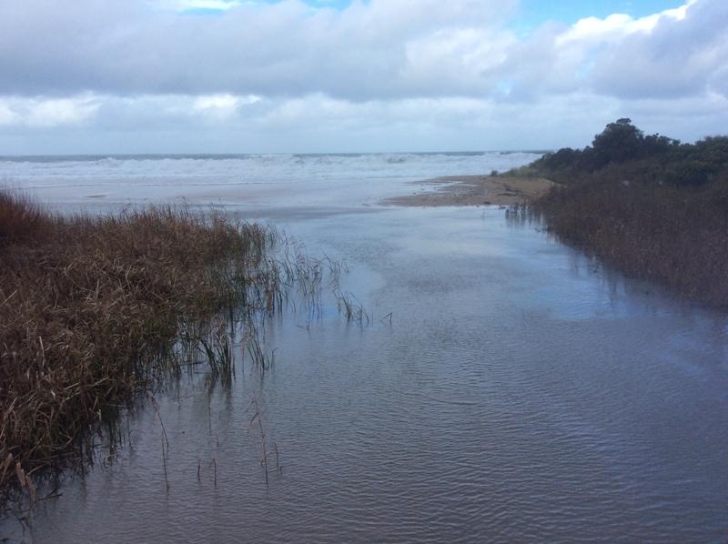
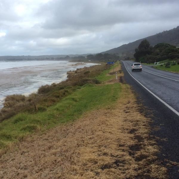
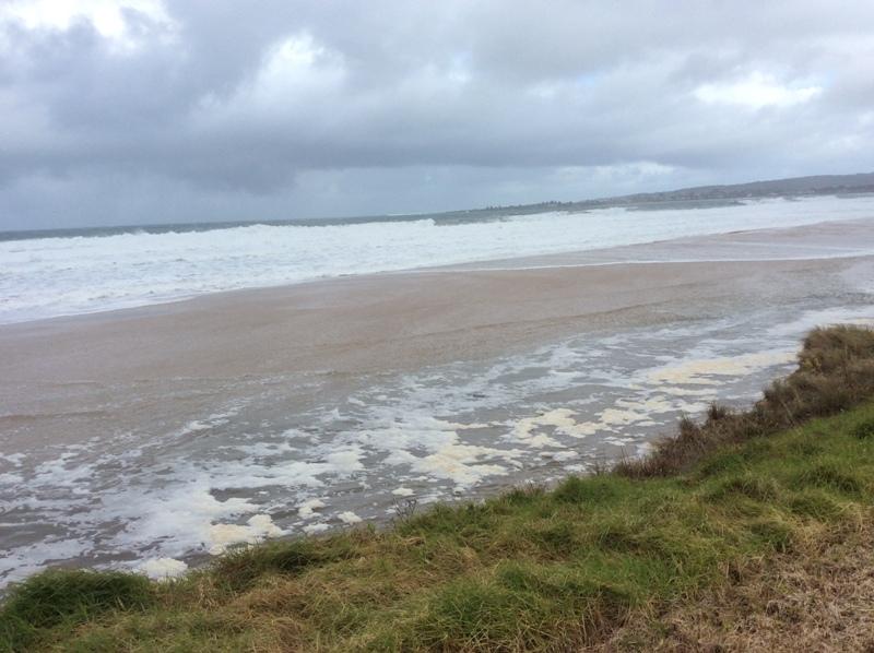
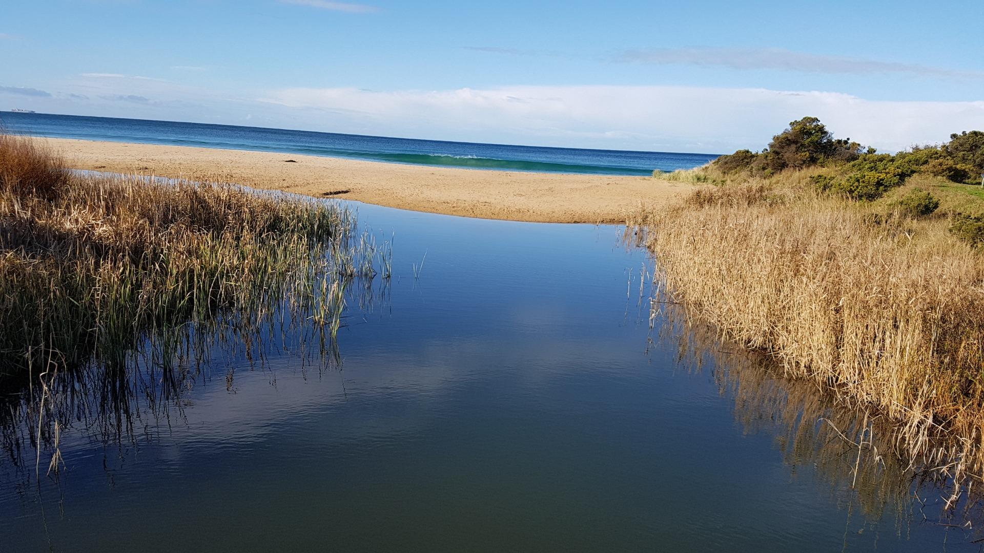
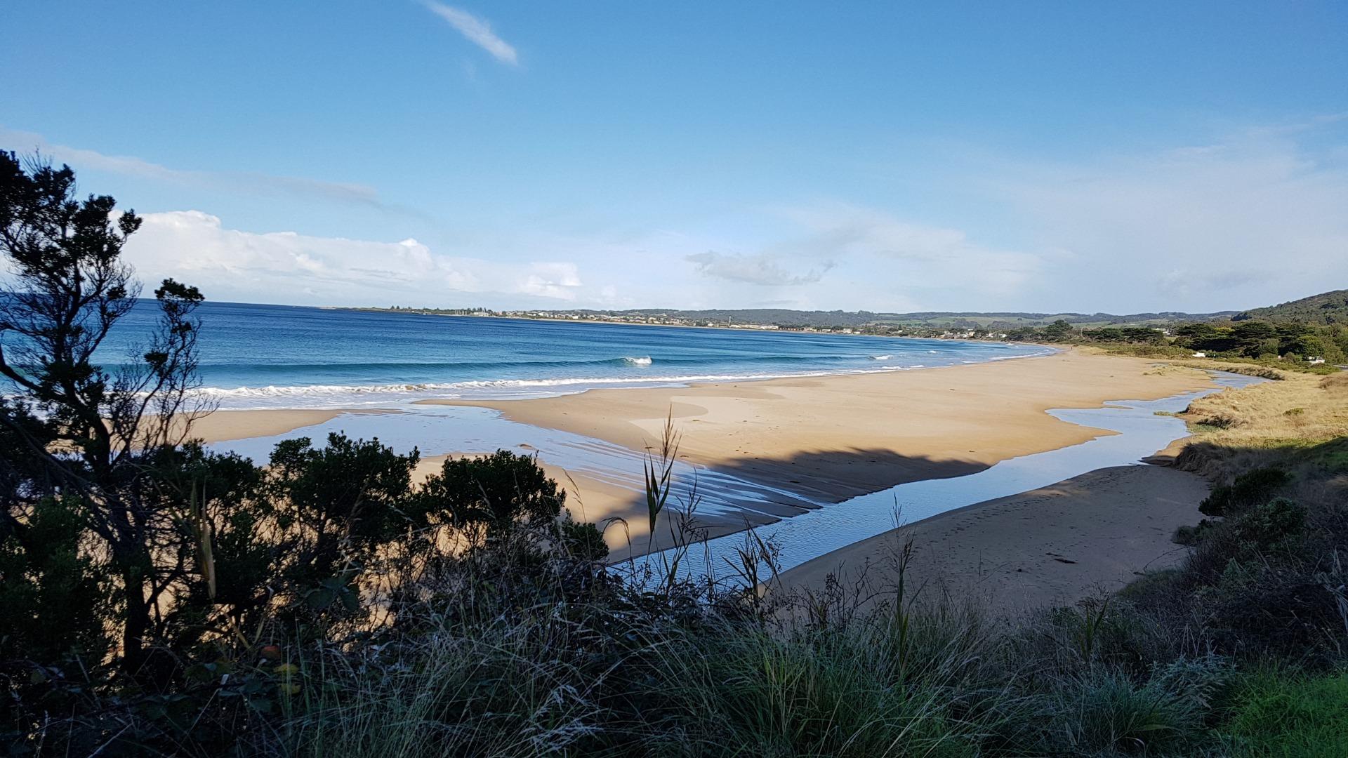
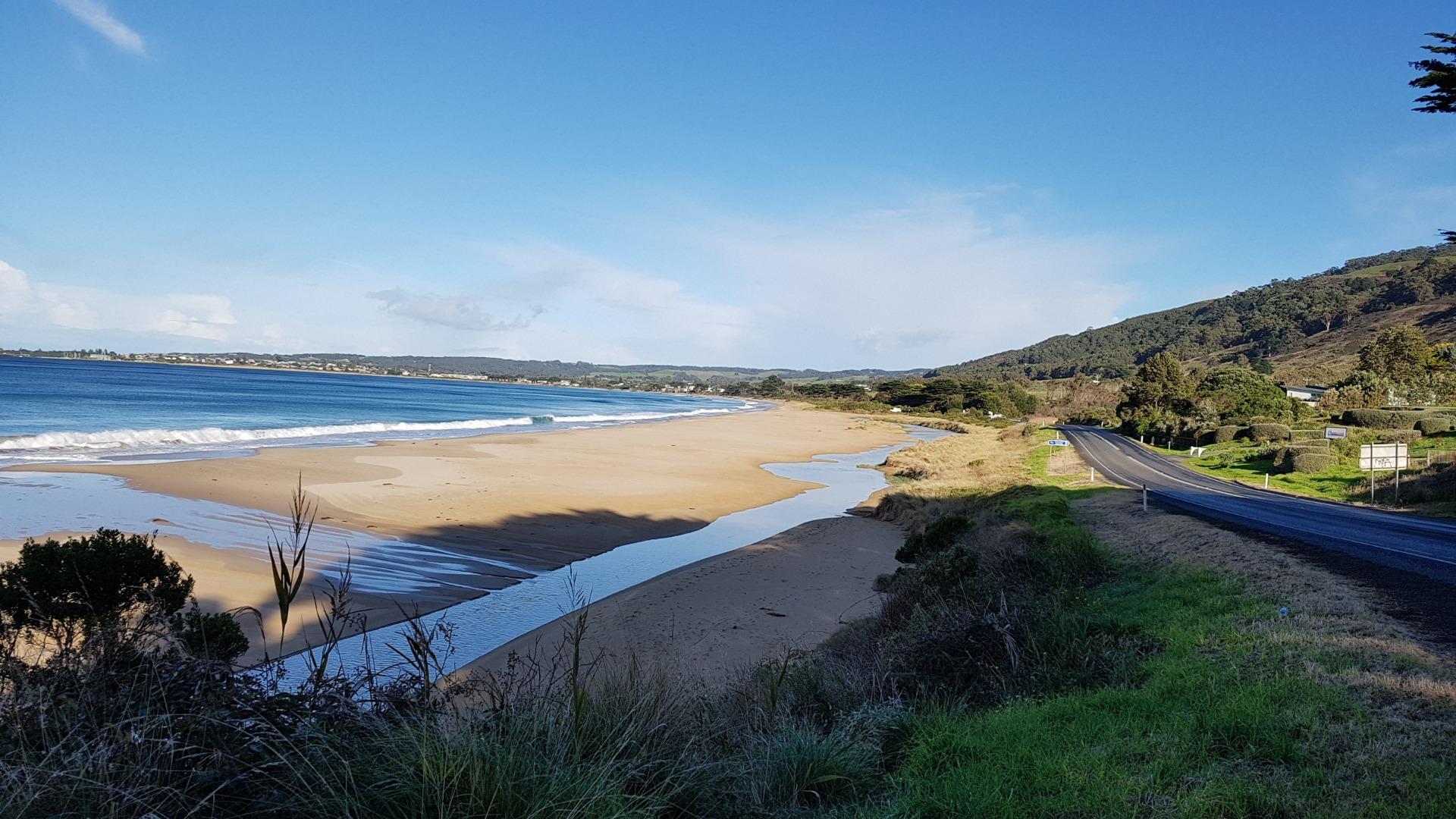
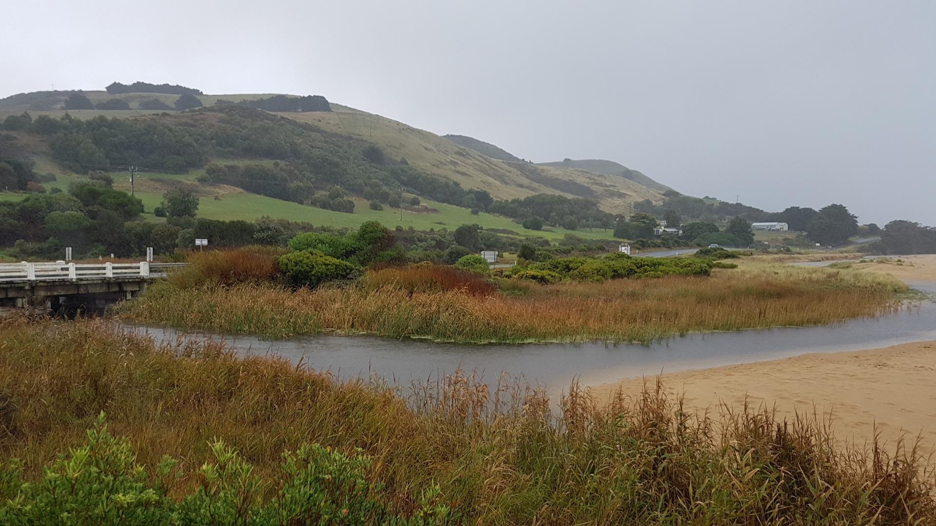
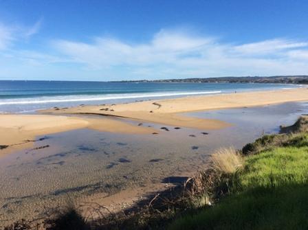
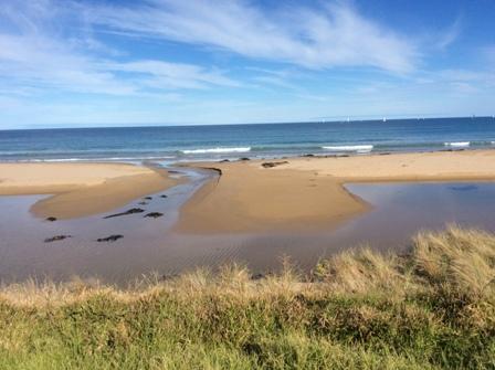
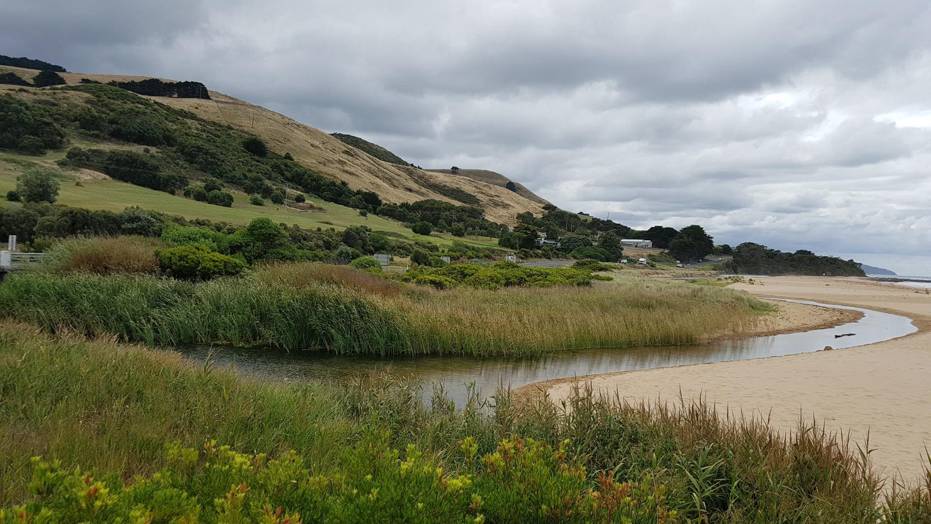
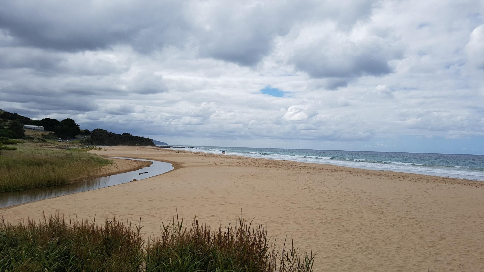
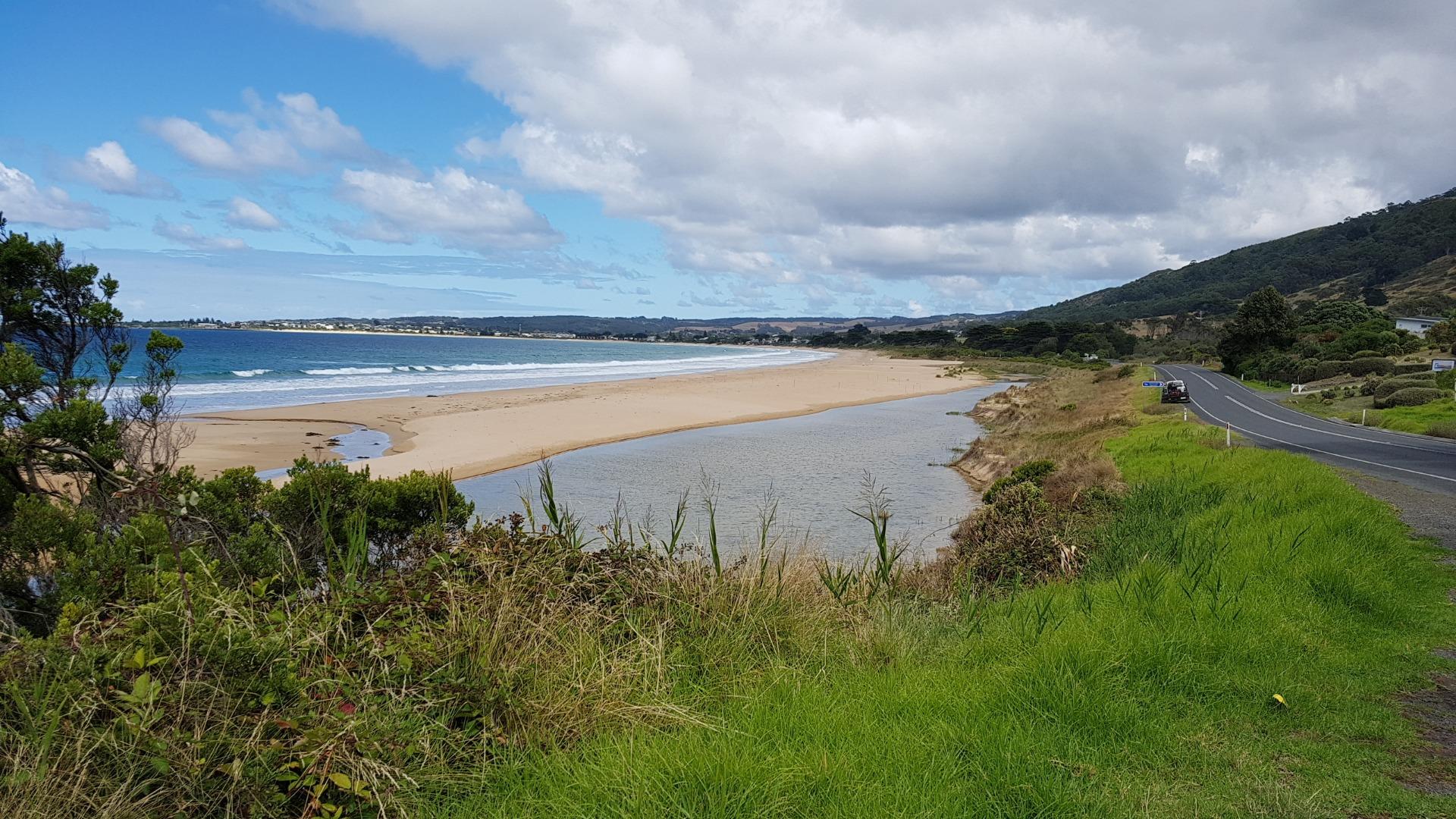
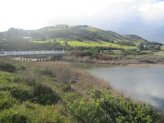
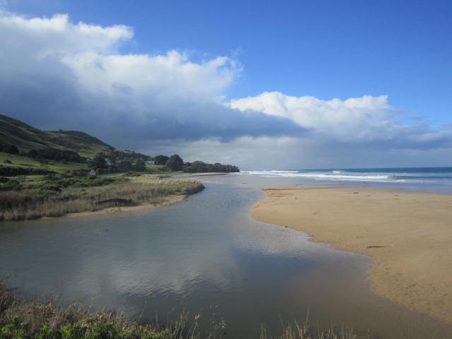
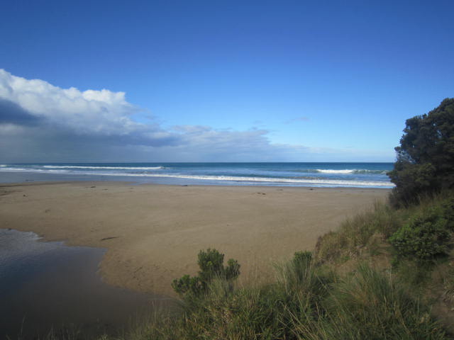
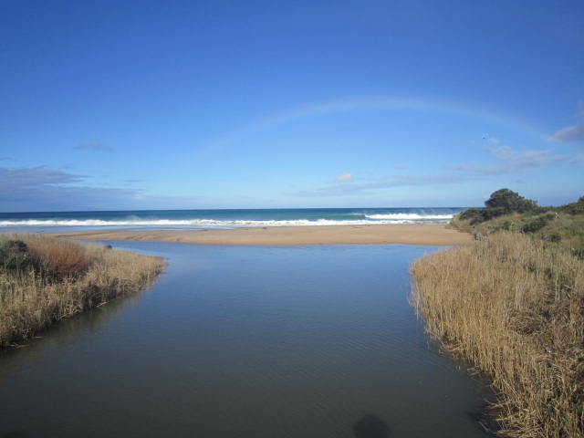
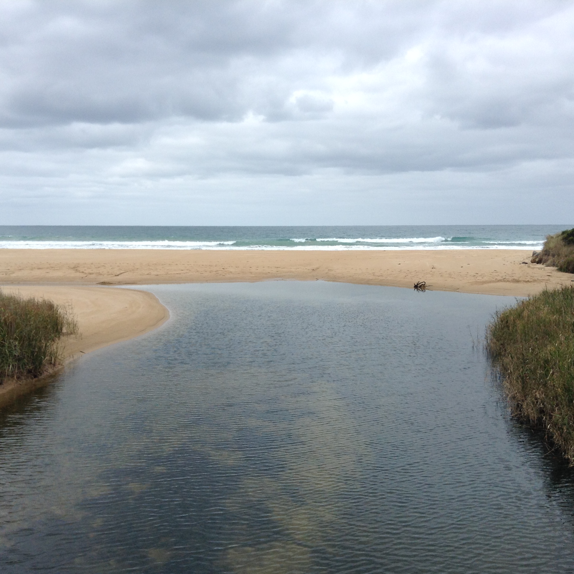
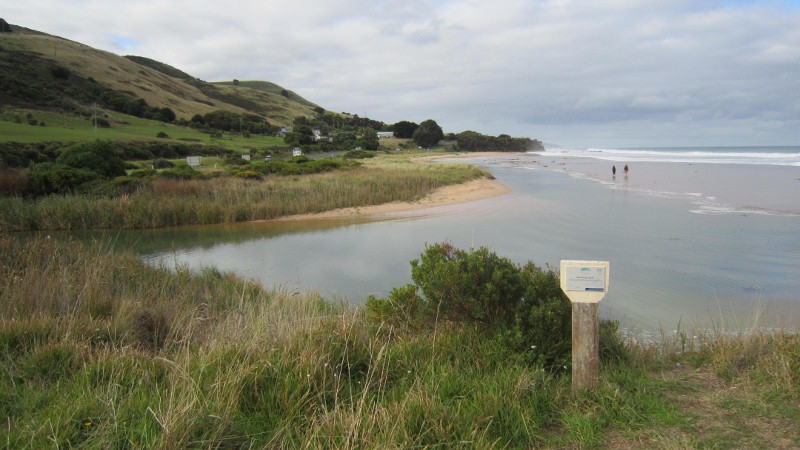
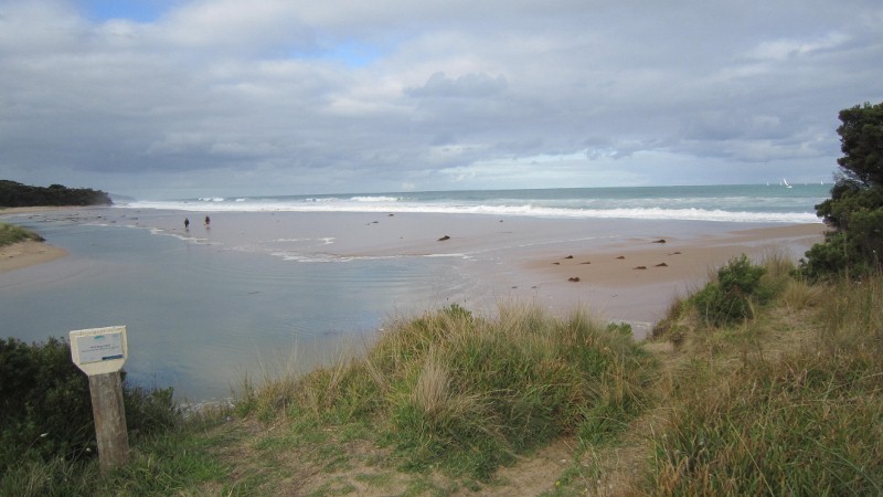
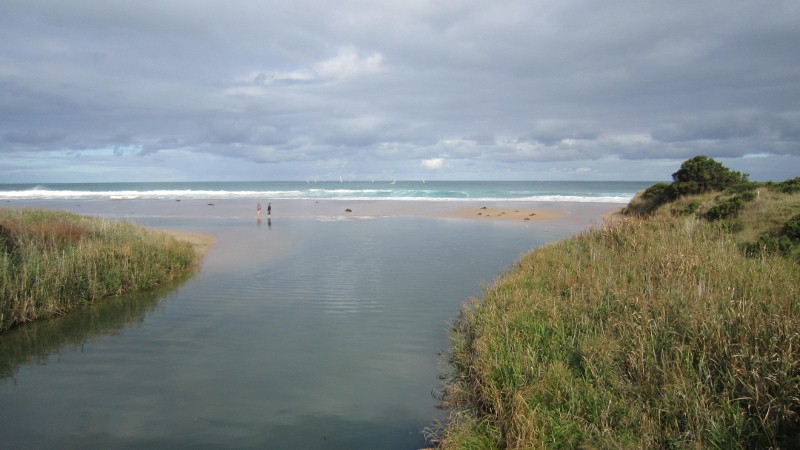
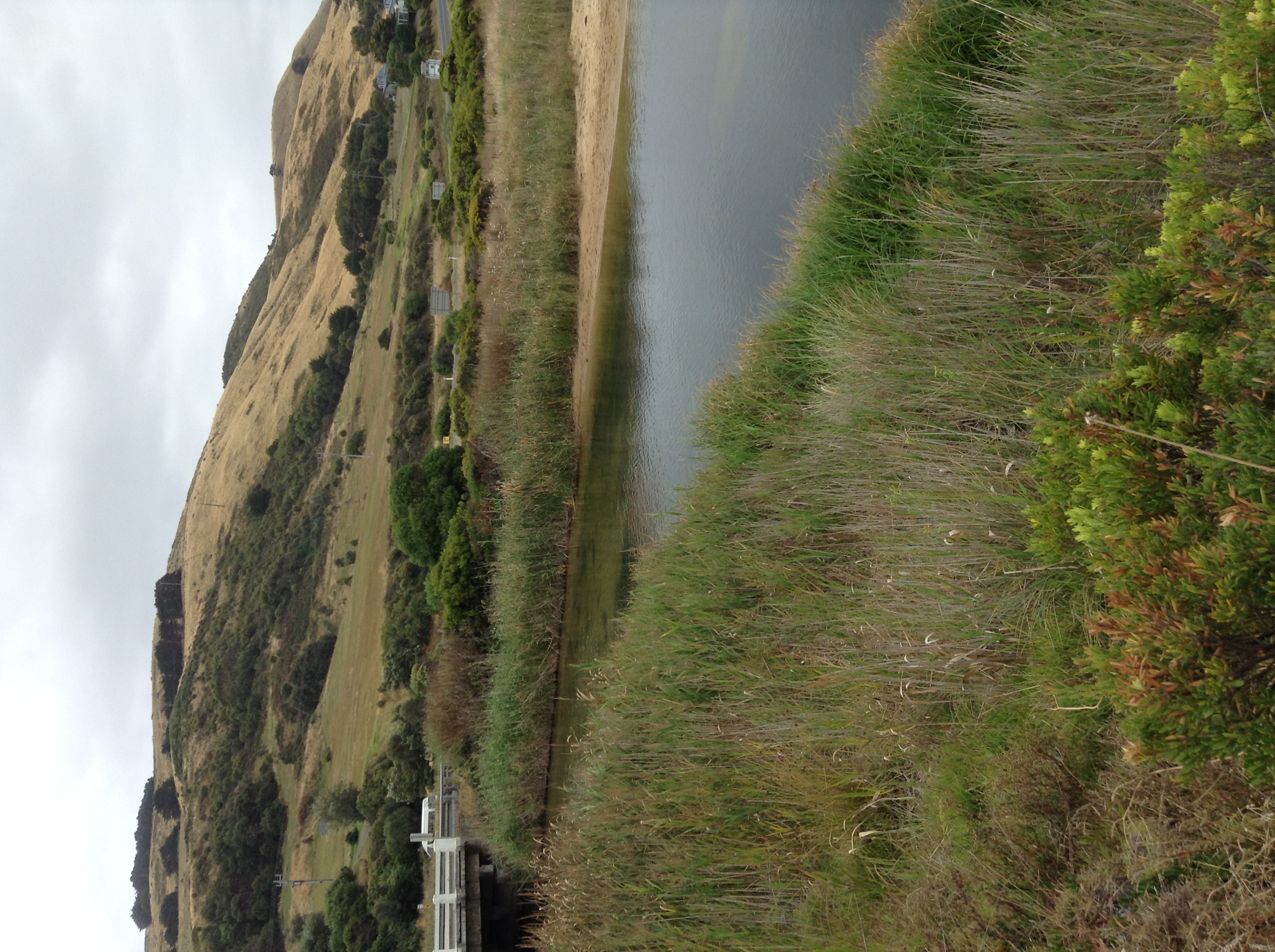
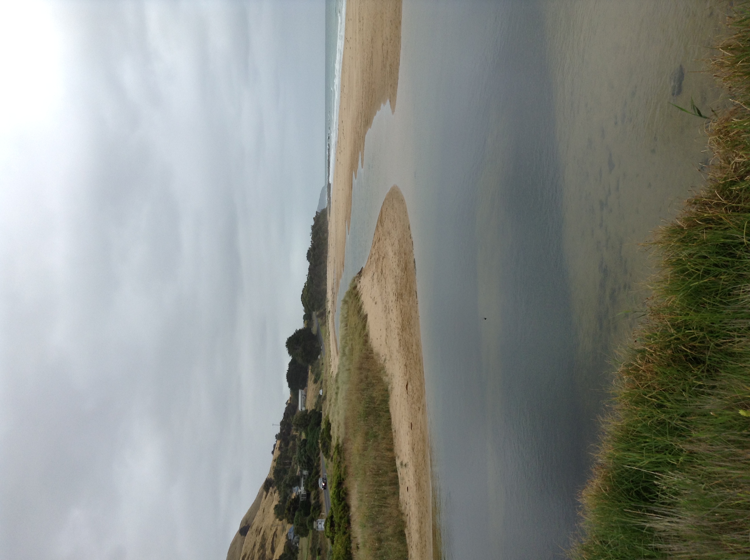
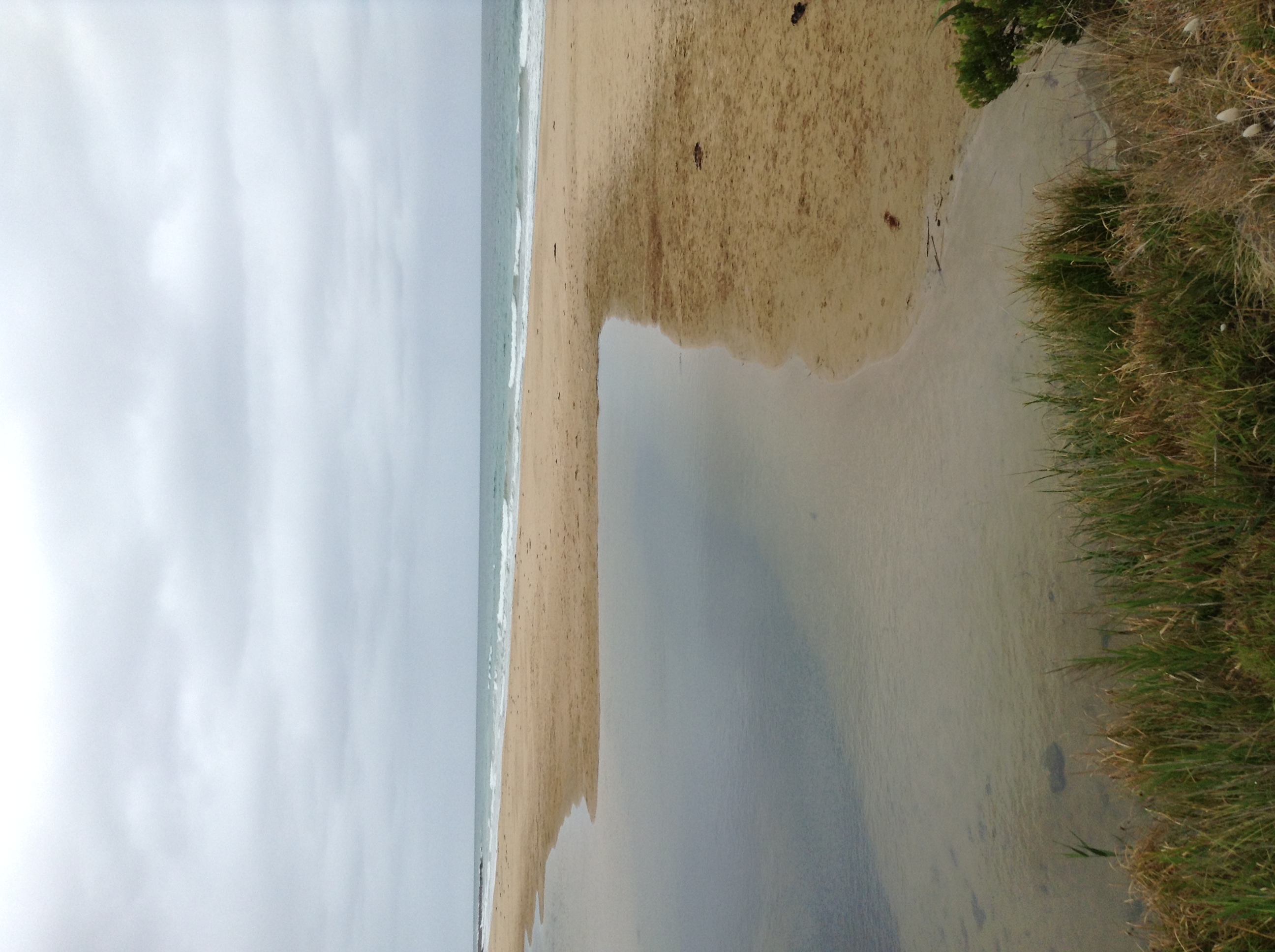
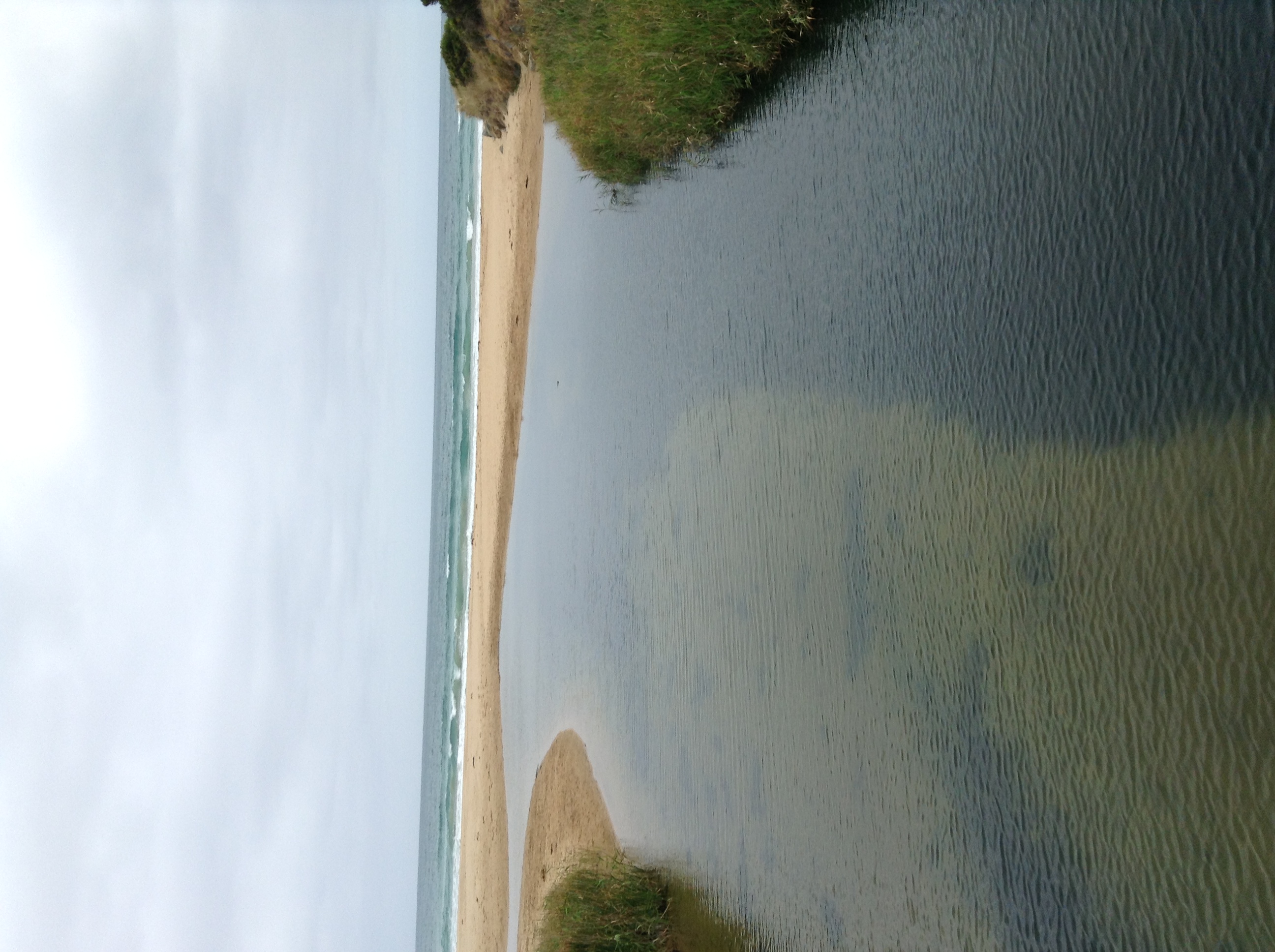
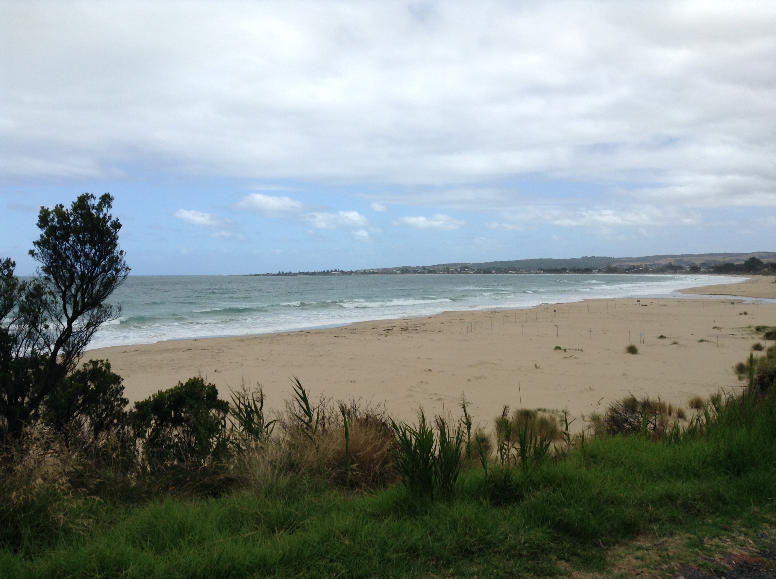
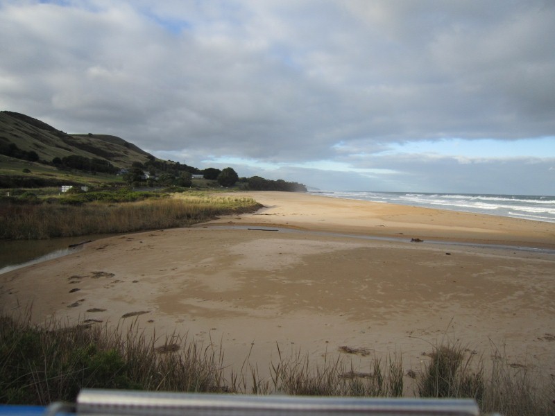
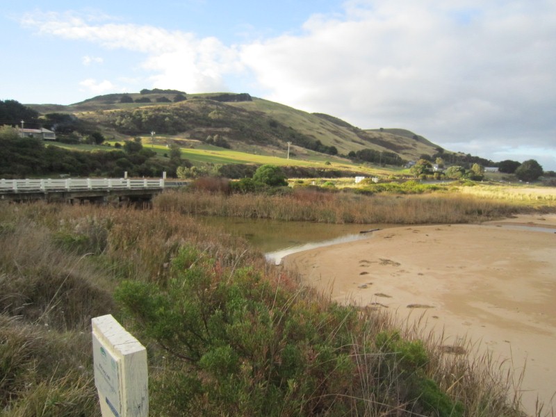
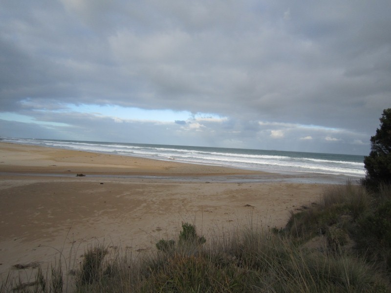
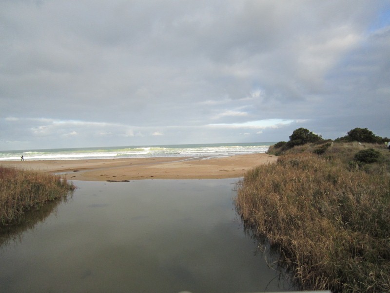
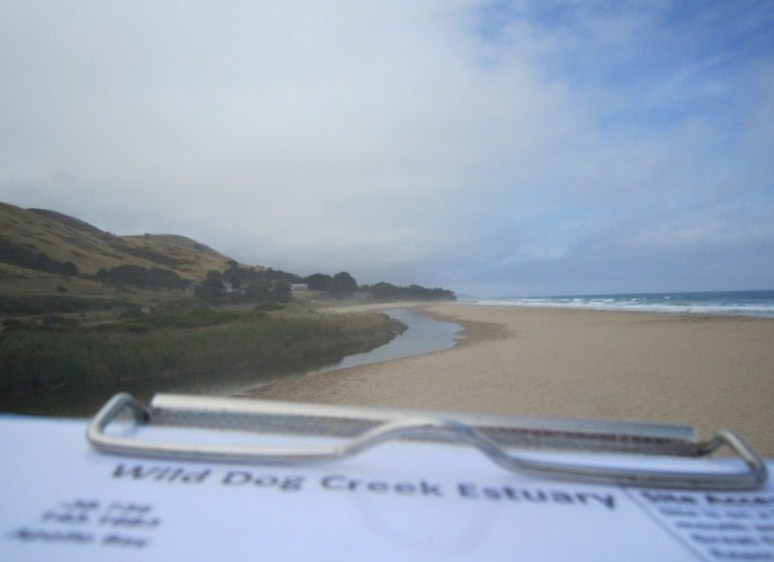
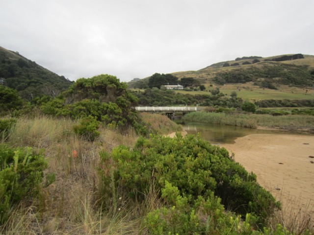
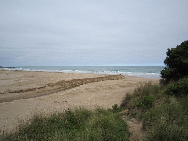
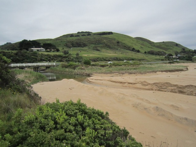
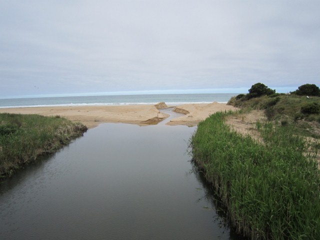
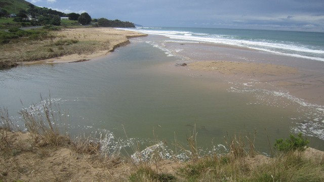
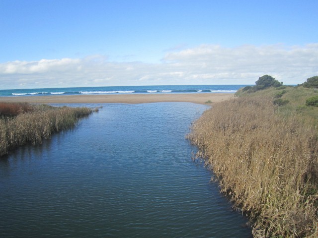
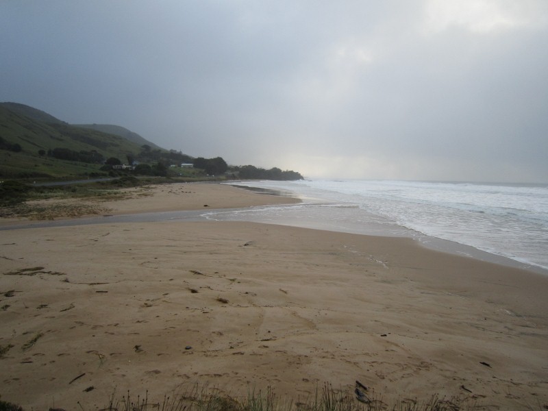
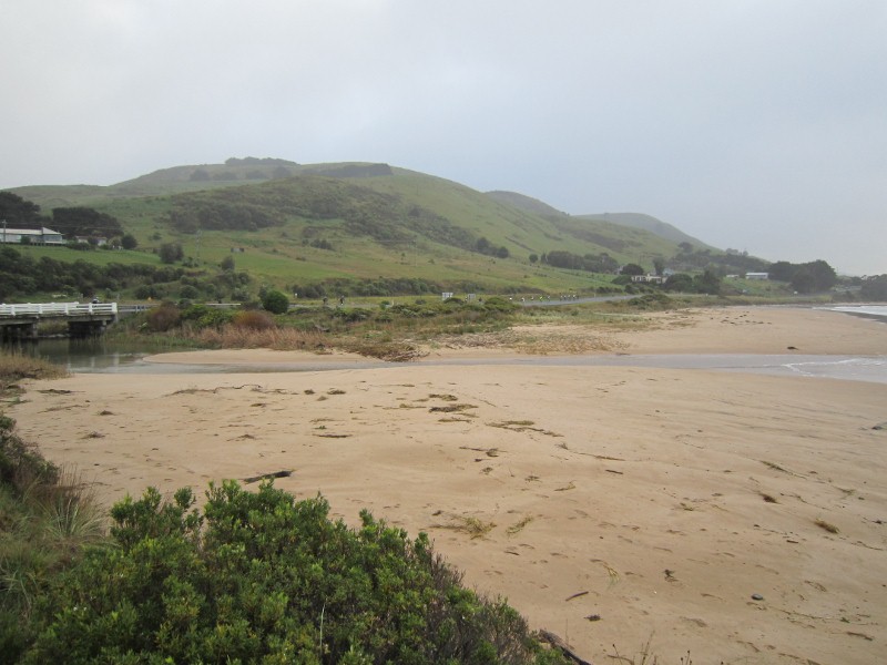
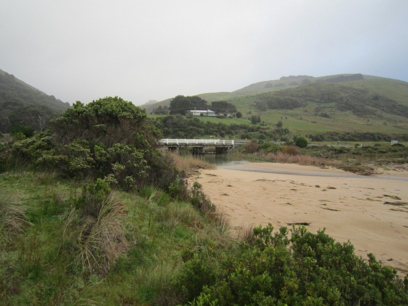
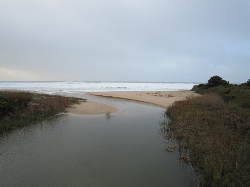
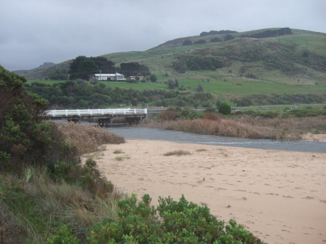
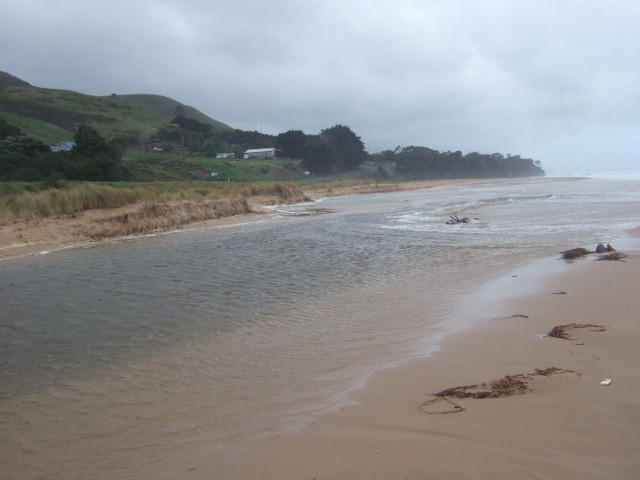
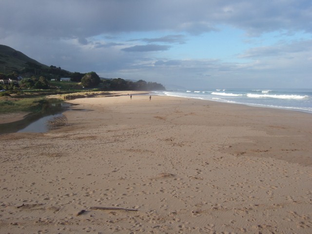
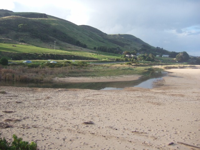
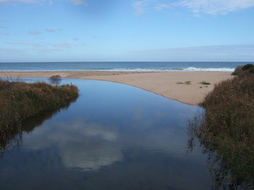
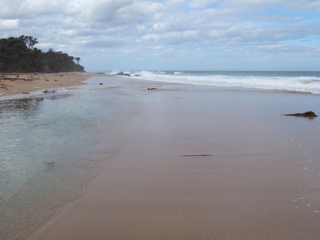
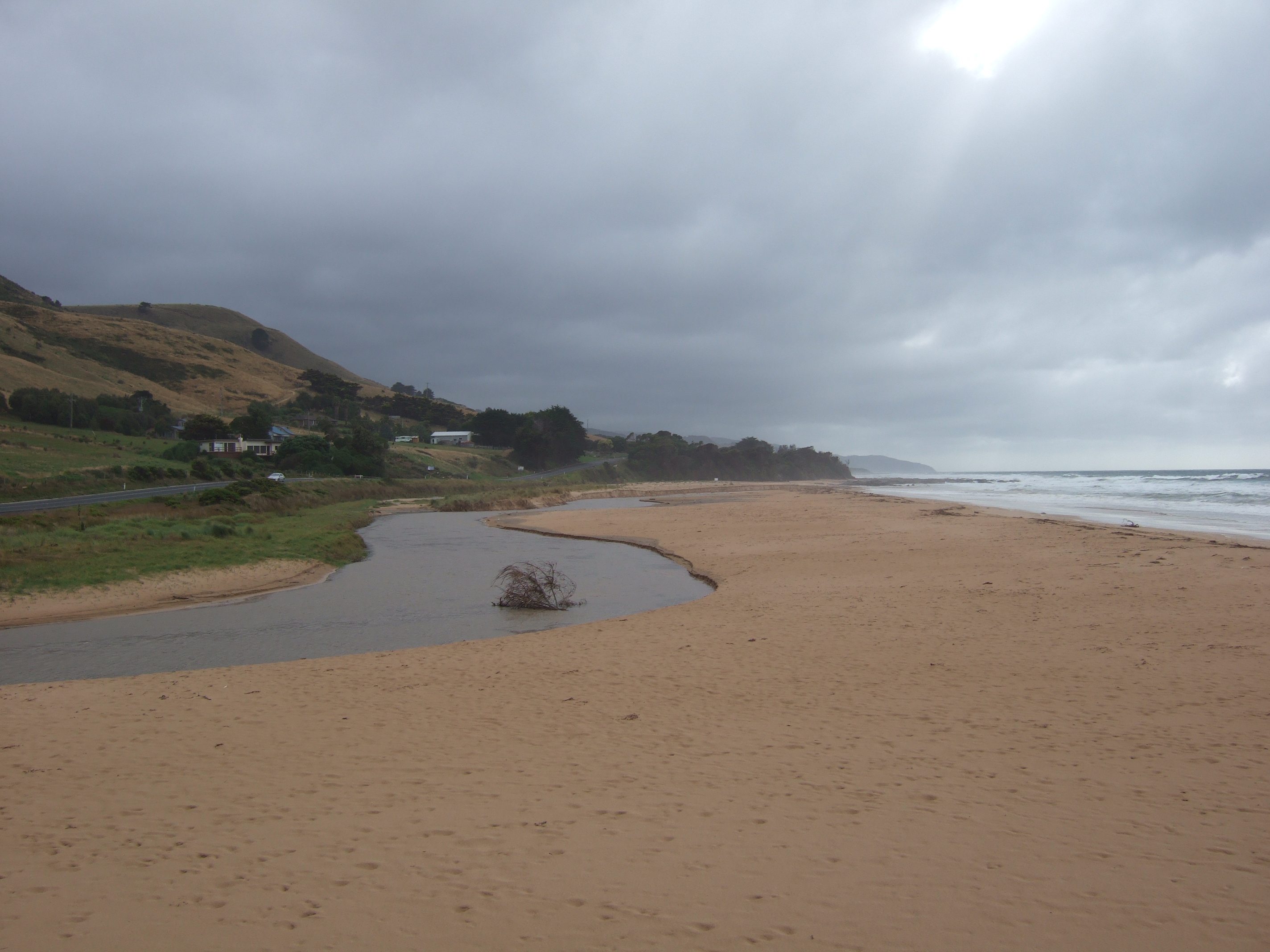
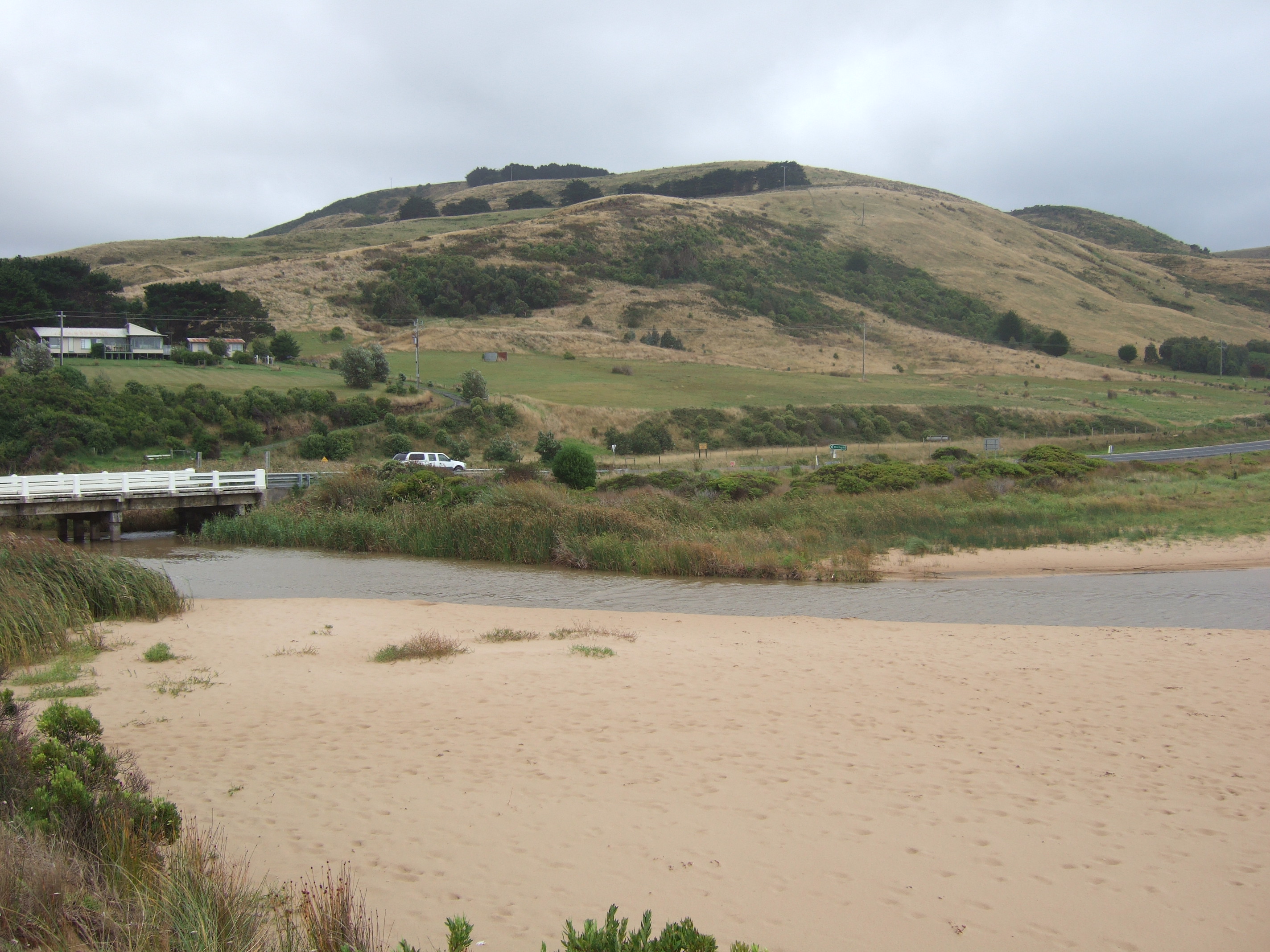
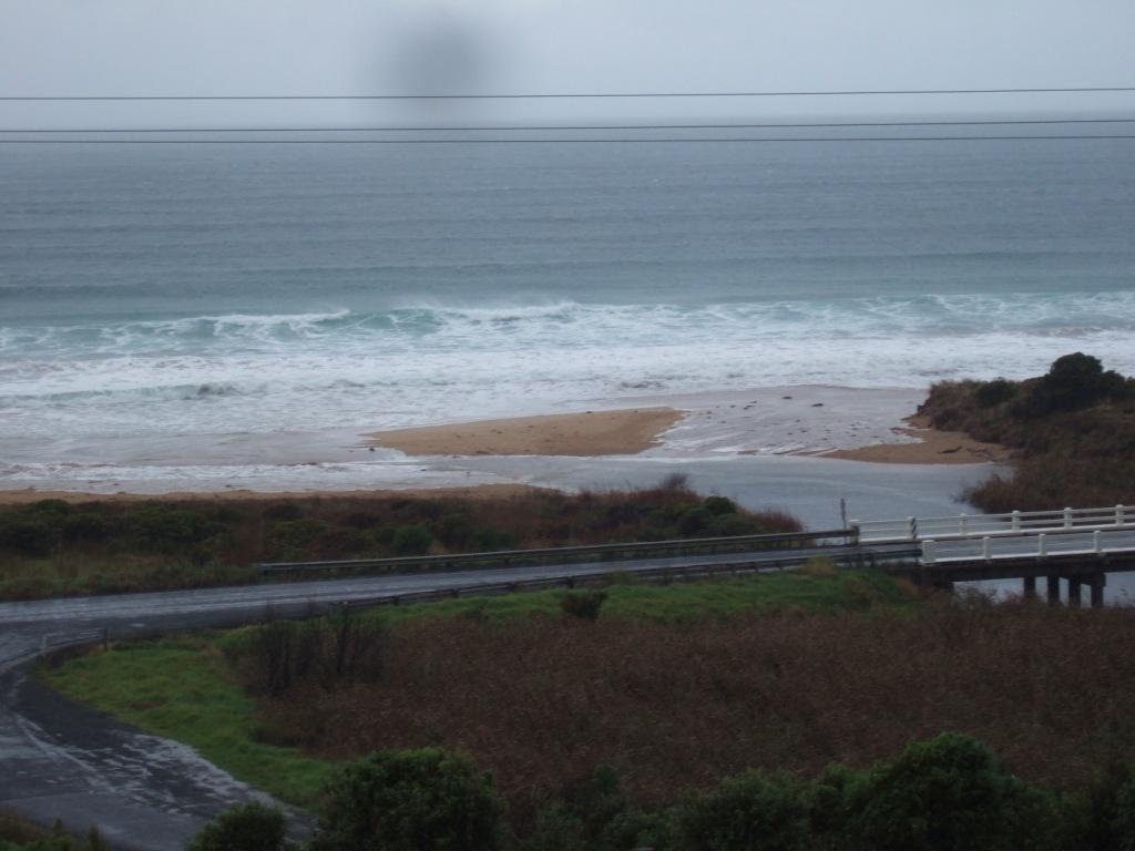
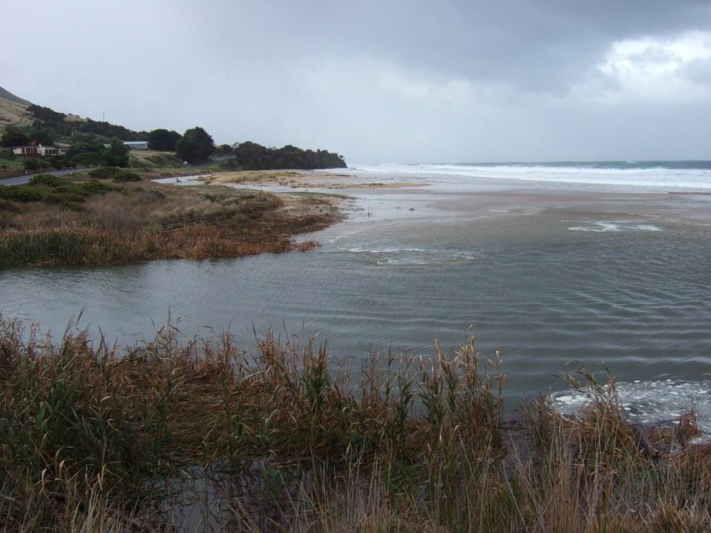
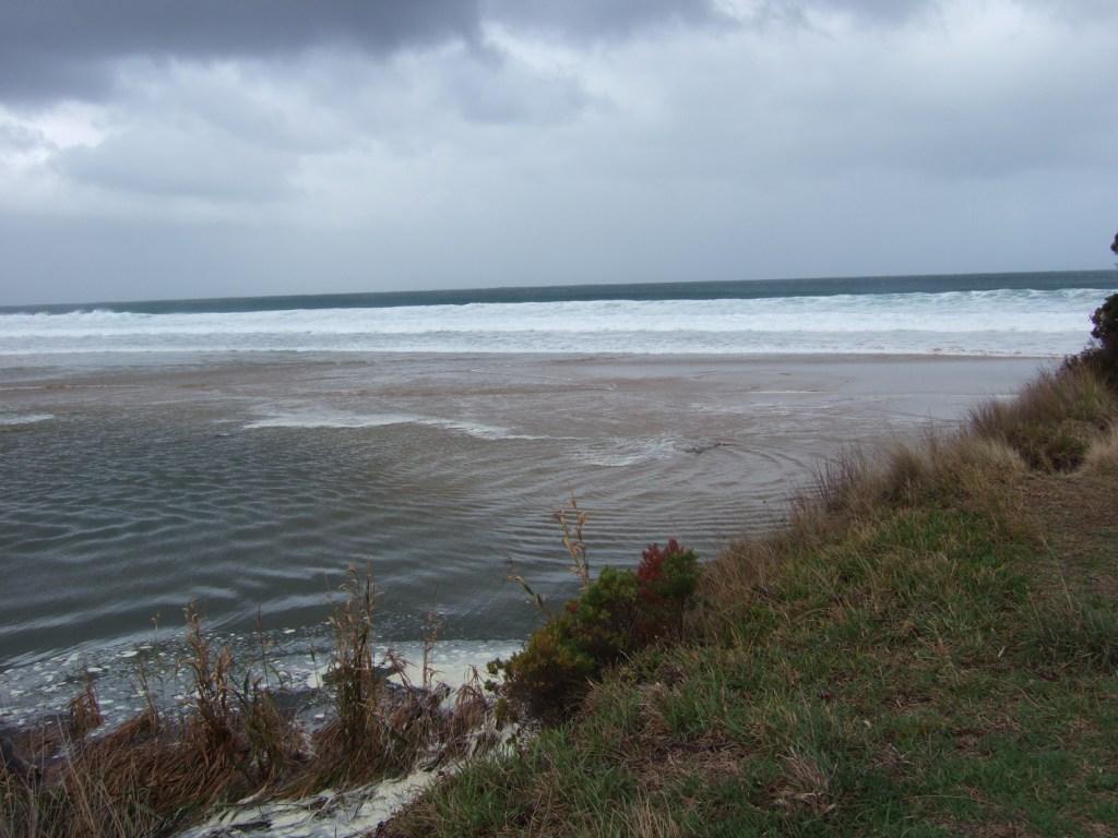
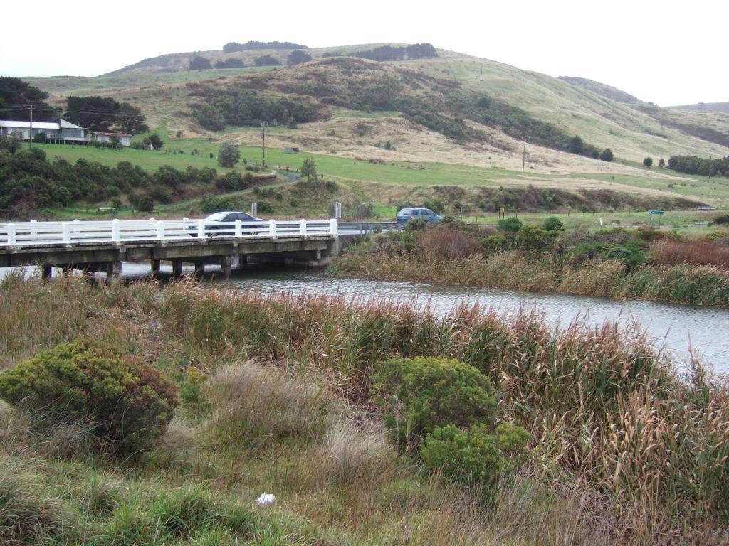
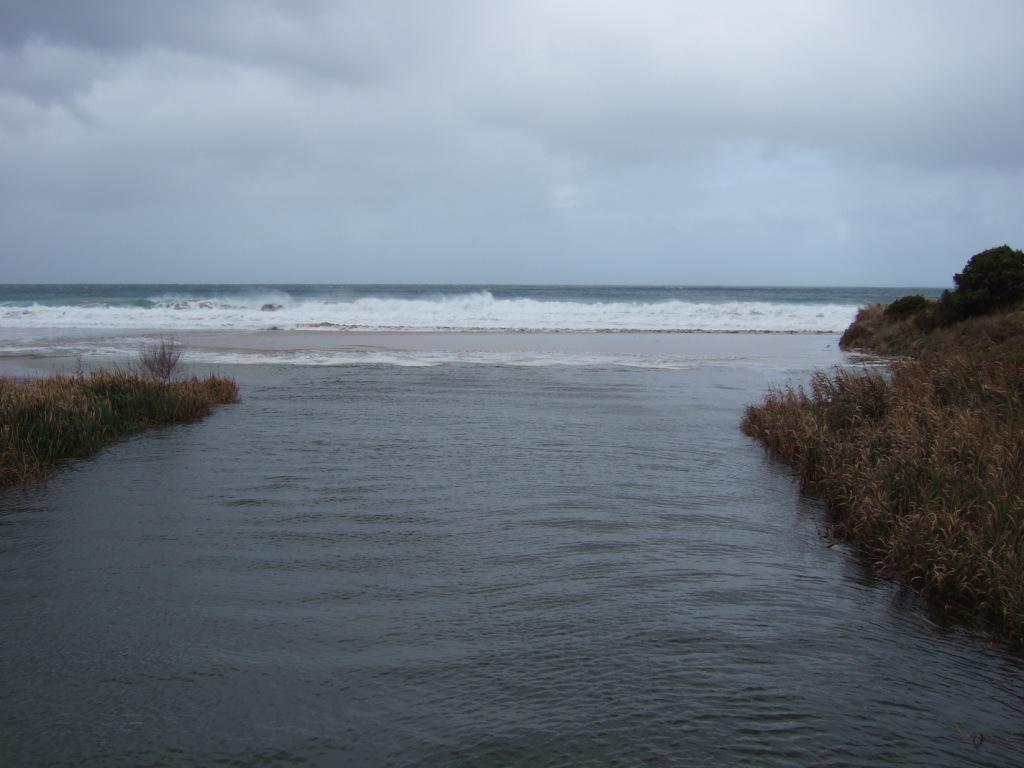
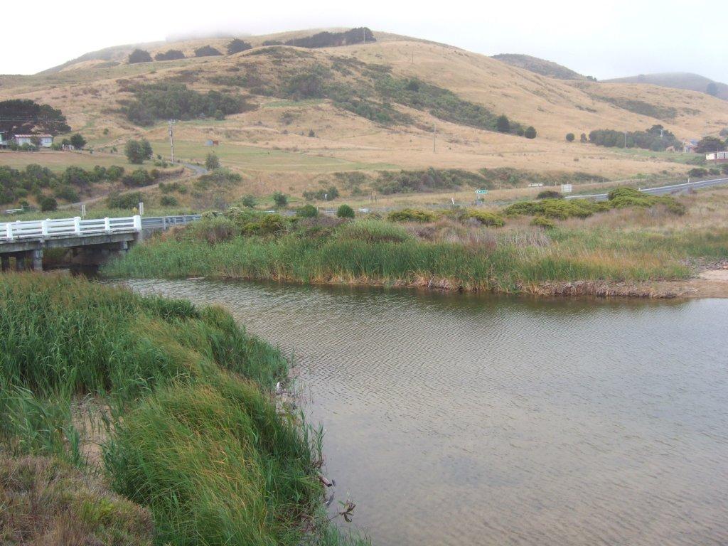
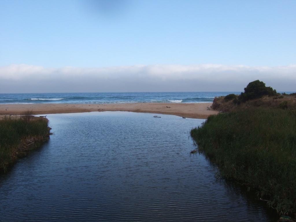
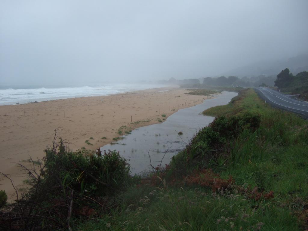
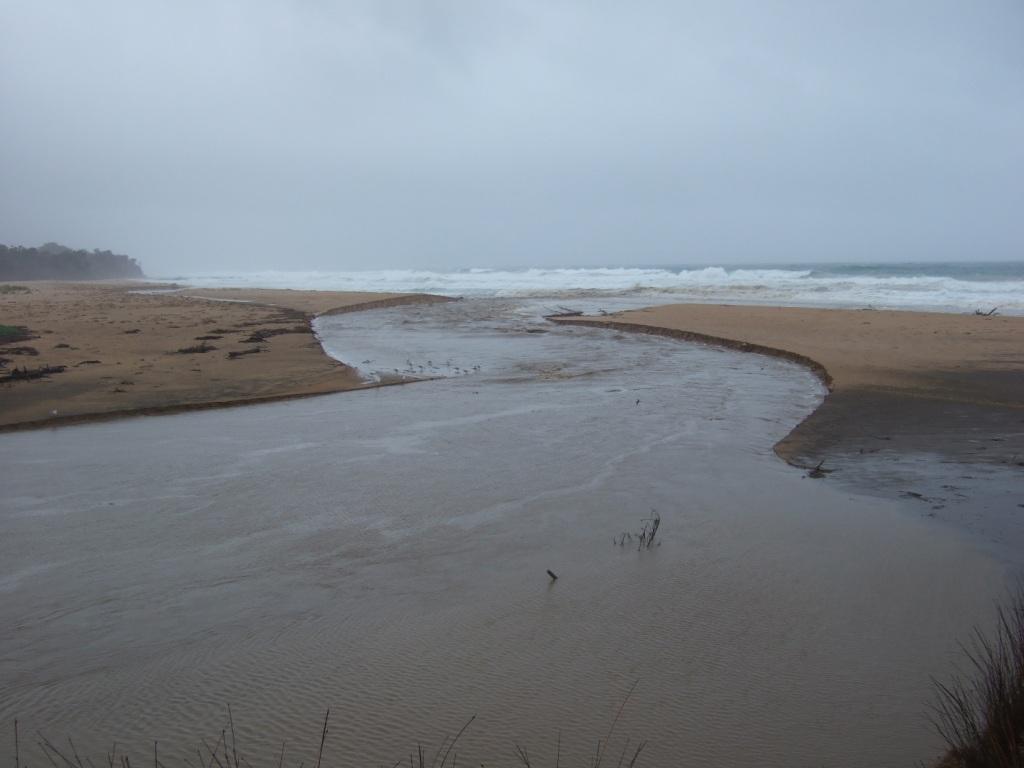
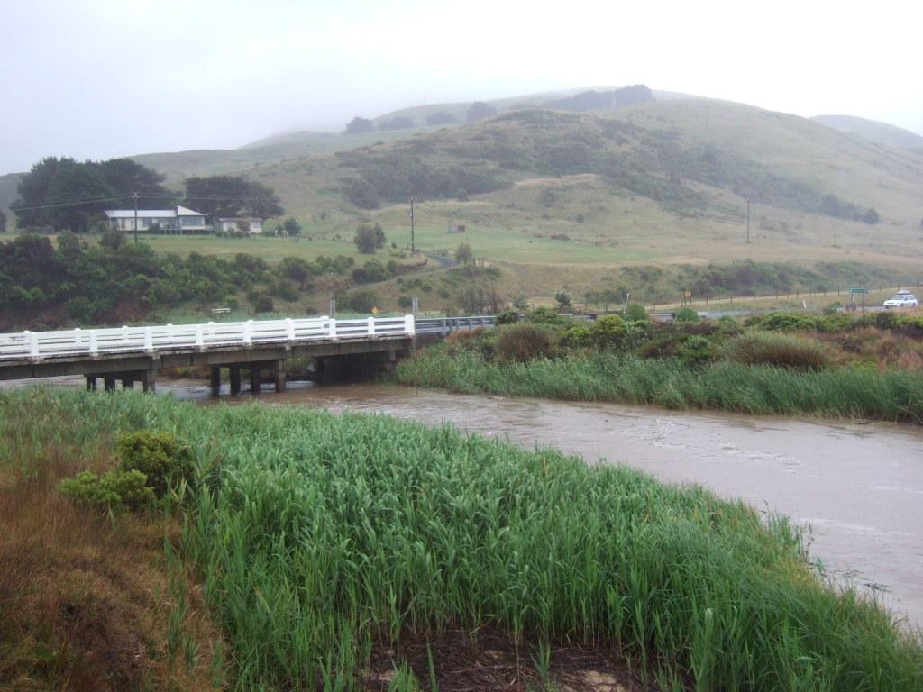
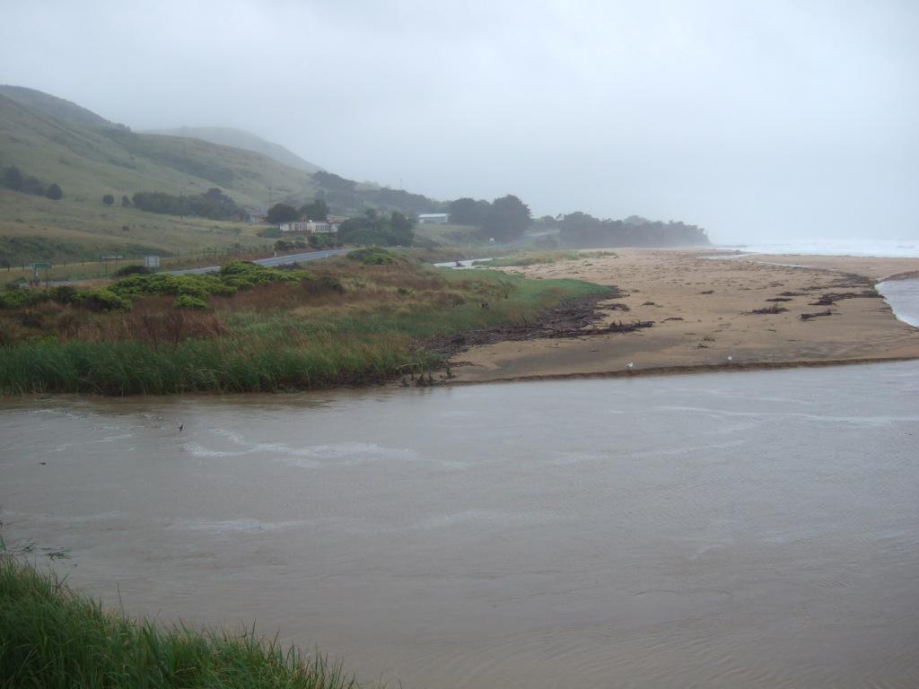
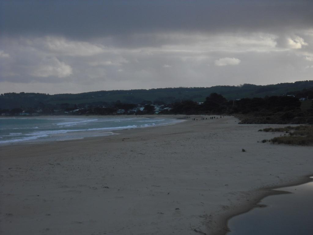
Active Mouth Condition 13-02-2008 - 29-09-2023Wild Dog Creek Estuary
| ID | Date | Status | Details | |
|---|---|---|---|---|
| #15792 | 29 Sep 2023 | Pending | ||
| #15701 | 31 Jul 2023 | Pending |
Notes:
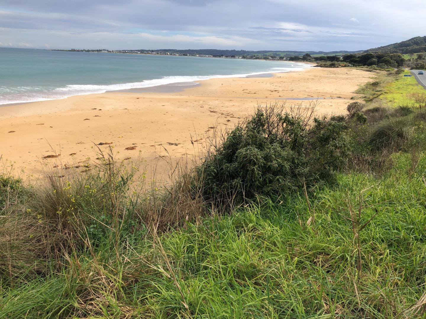
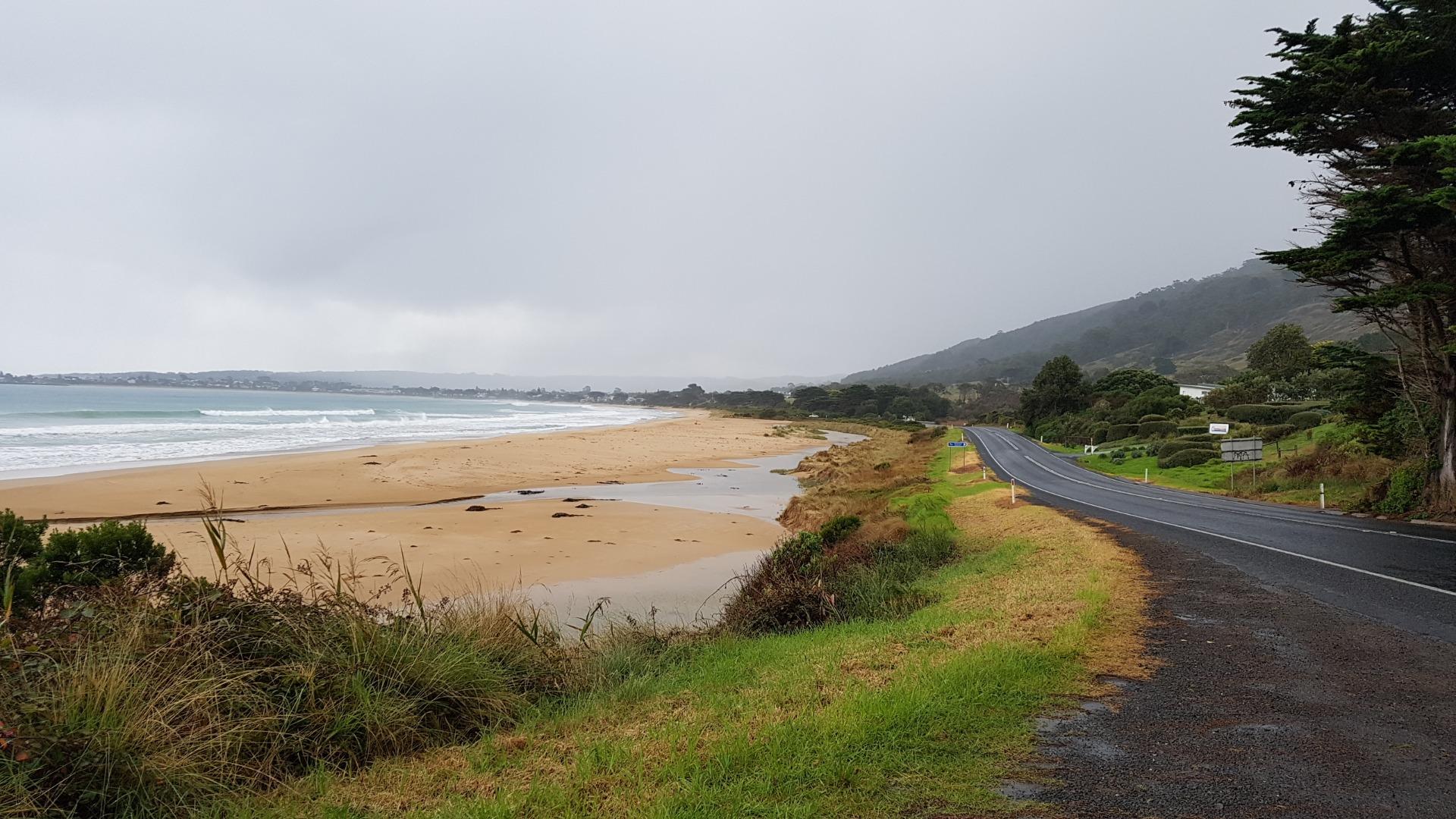
Creek opening has moved north along the beach by approx 200m |
|
| #15652 | 22 Jun 2023 | Pending | ||
| #15524 | 16 May 2023 | Pending |
Notes:
Physical condition mode: variable |
|
| #15376 | 17 Mar 2023 | Approved | ||
| #15265 | 27 Jan 2023 | Approved | ||
| #15179 | 17 Dec 2022 | Approved | ||
| #15077 | 13 Oct 2022 | Approved | ||
| #15023 | 16 Sep 2022 | Approved | ||
| #12555 | 29 Nov 2018 | Approved | ||
| #12513 | 25 Oct 2018 | Approved | ||
| #12512 | 23 Aug 2018 | Approved | ||
| #12511 | 19 Jul 2018 | Approved | ||
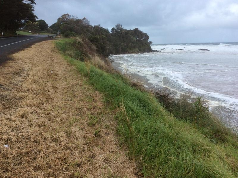
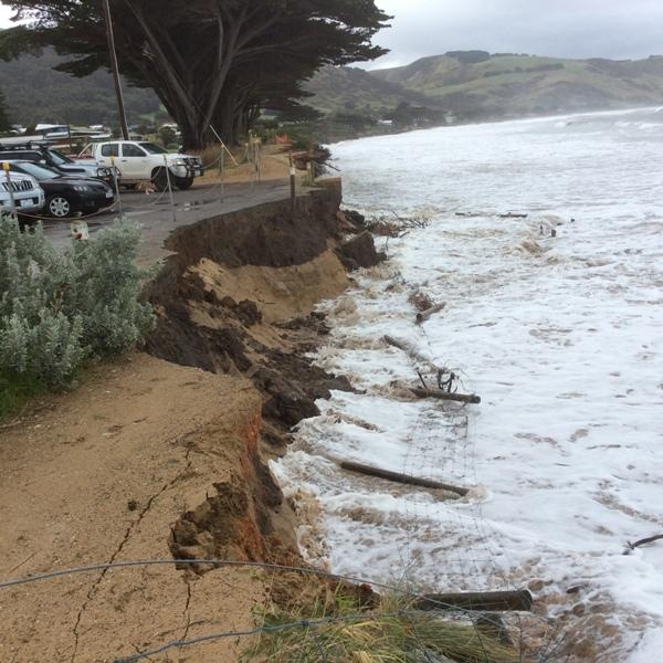
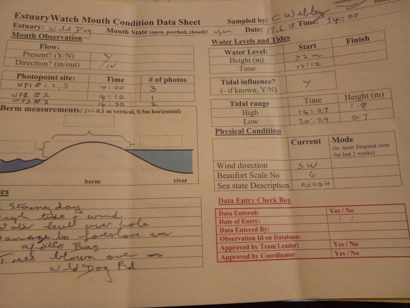
| #12347 | 17 Jun 2018 | Approved |
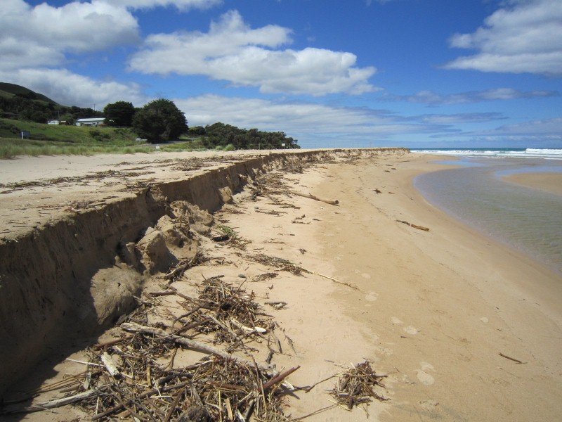
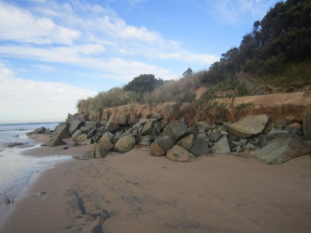
Notes:
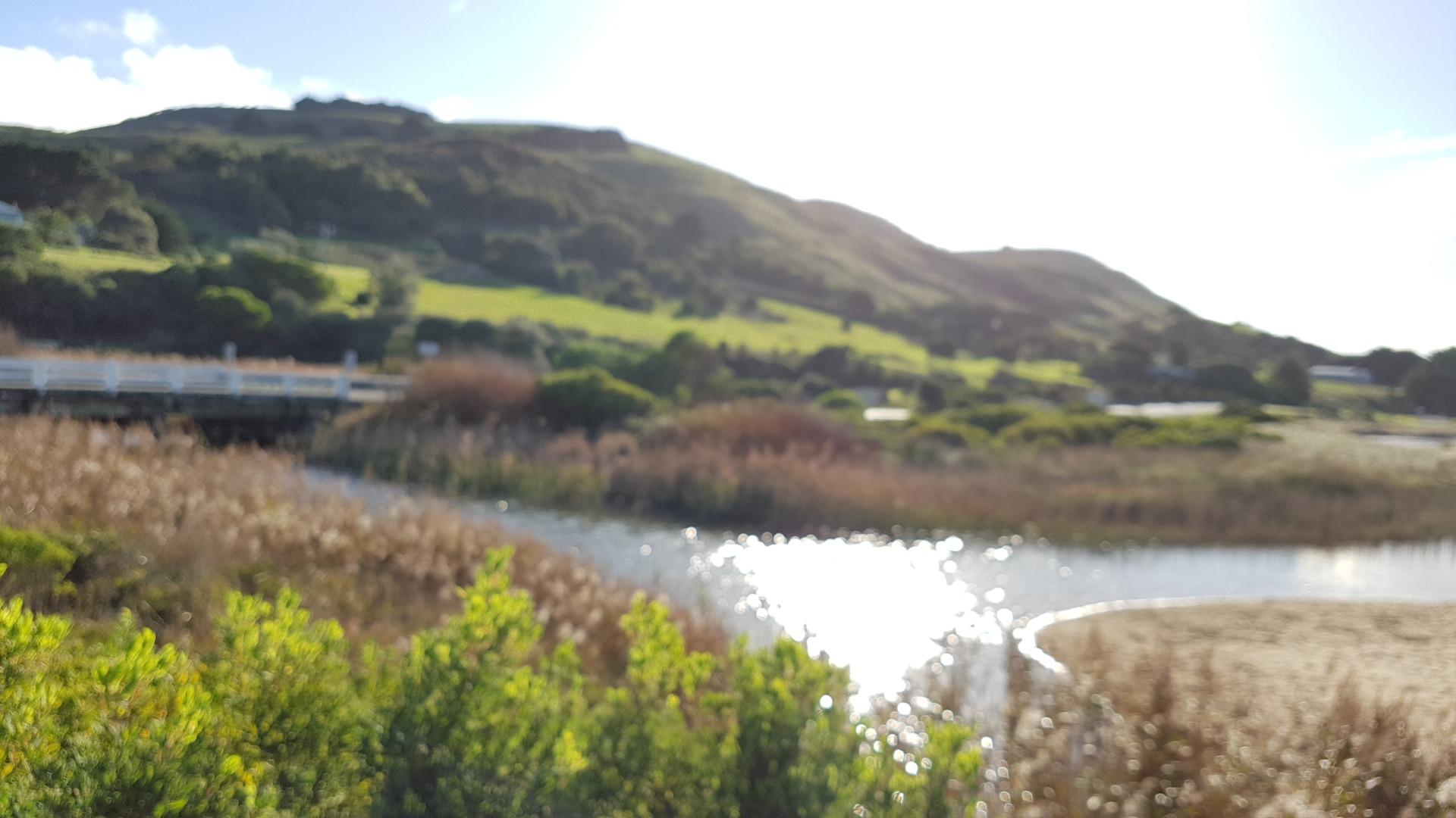
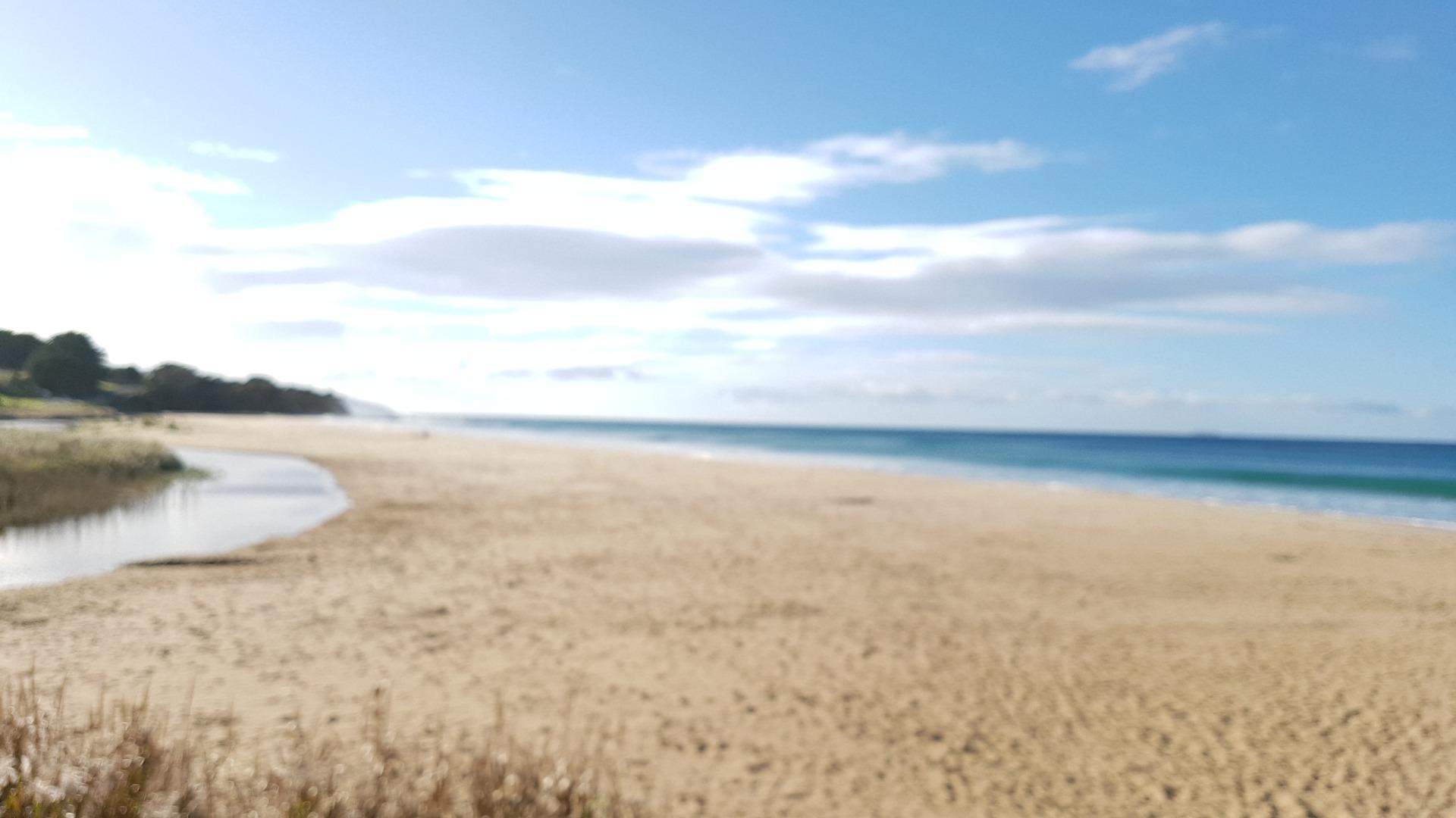
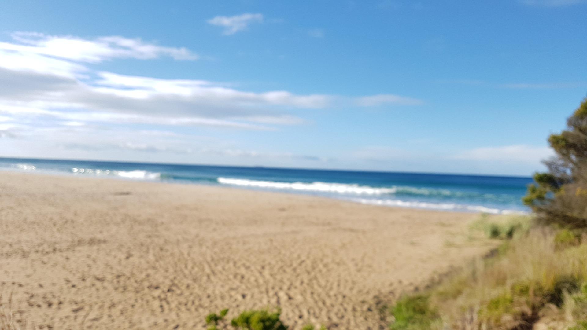
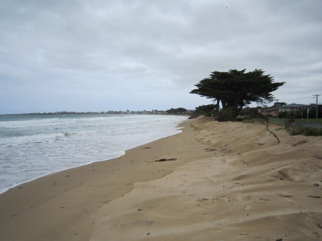
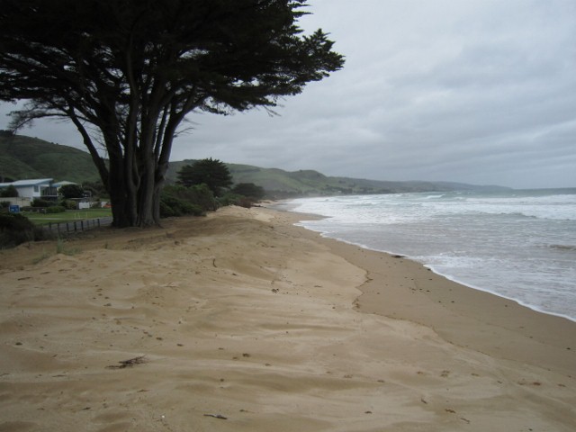
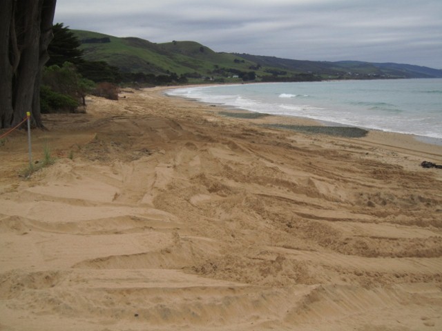
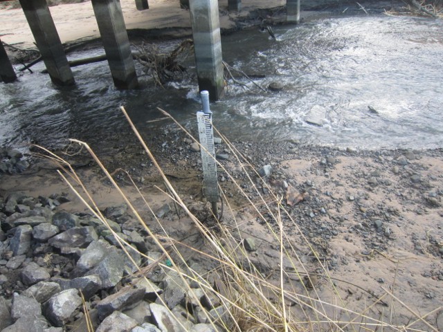
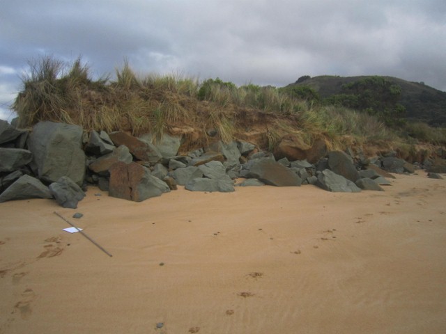
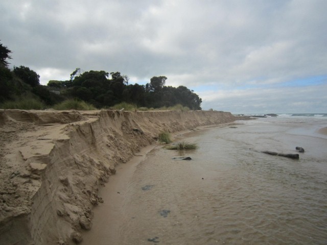
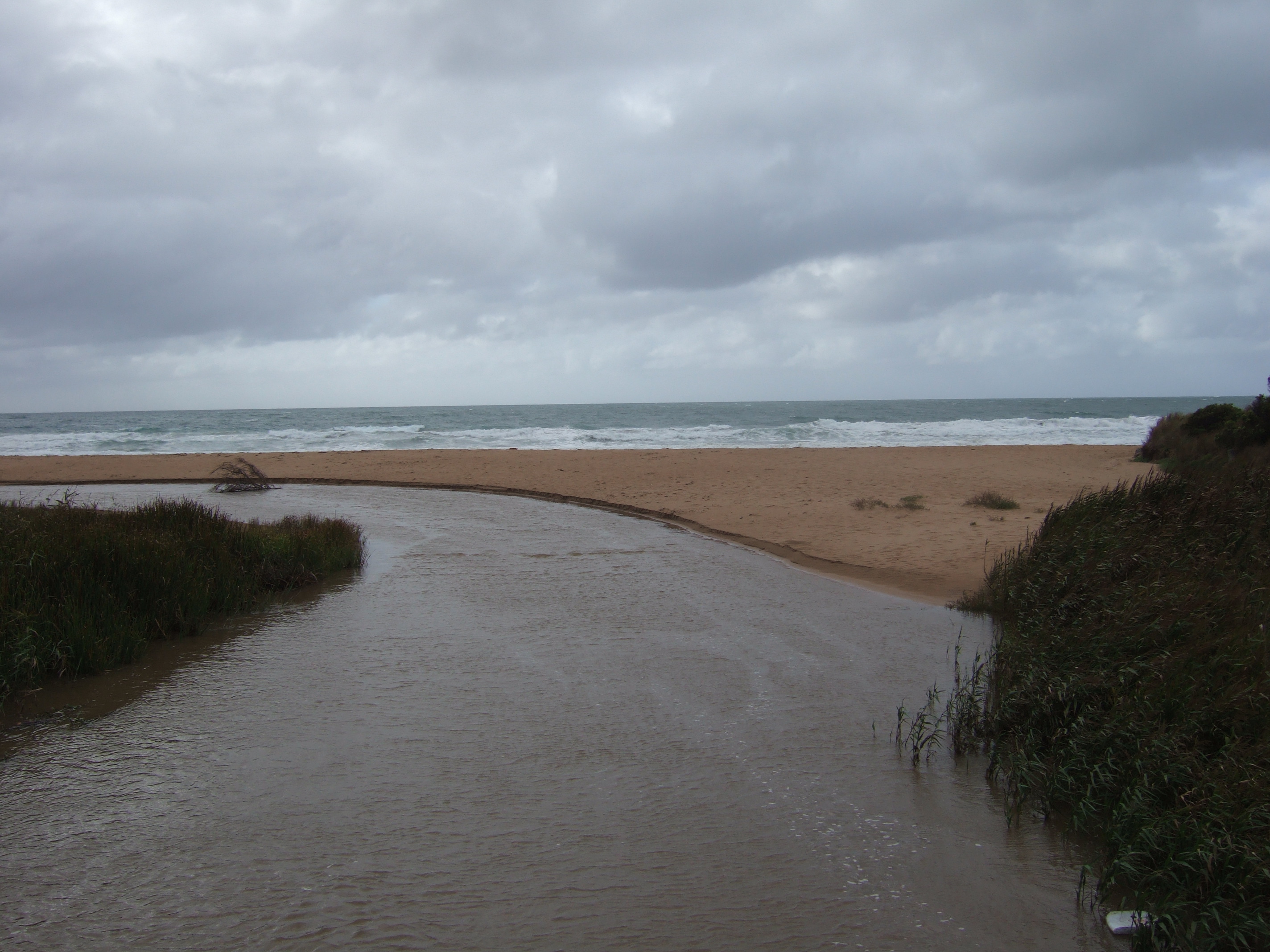
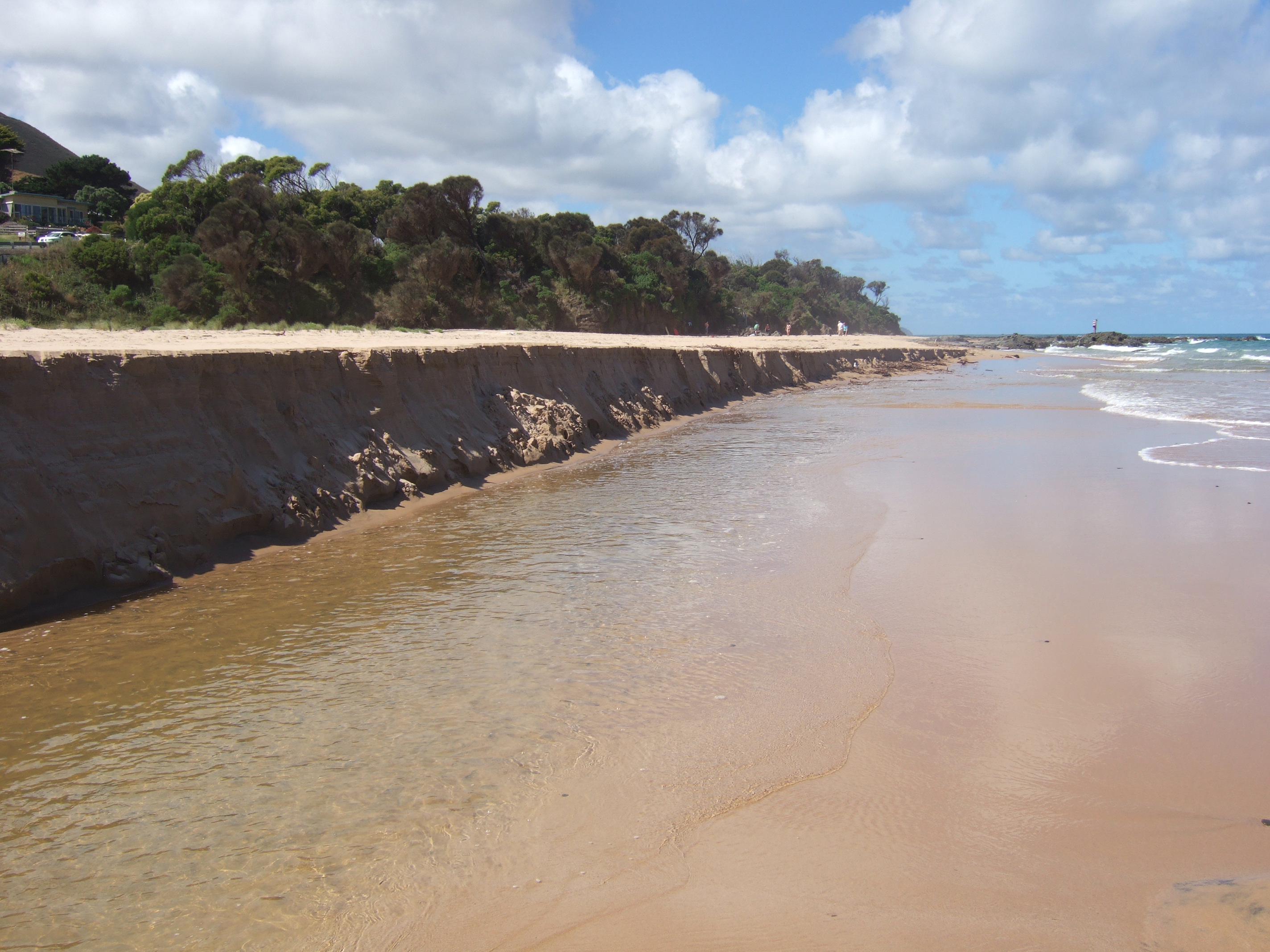
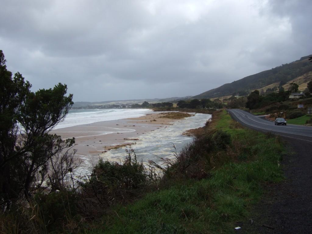
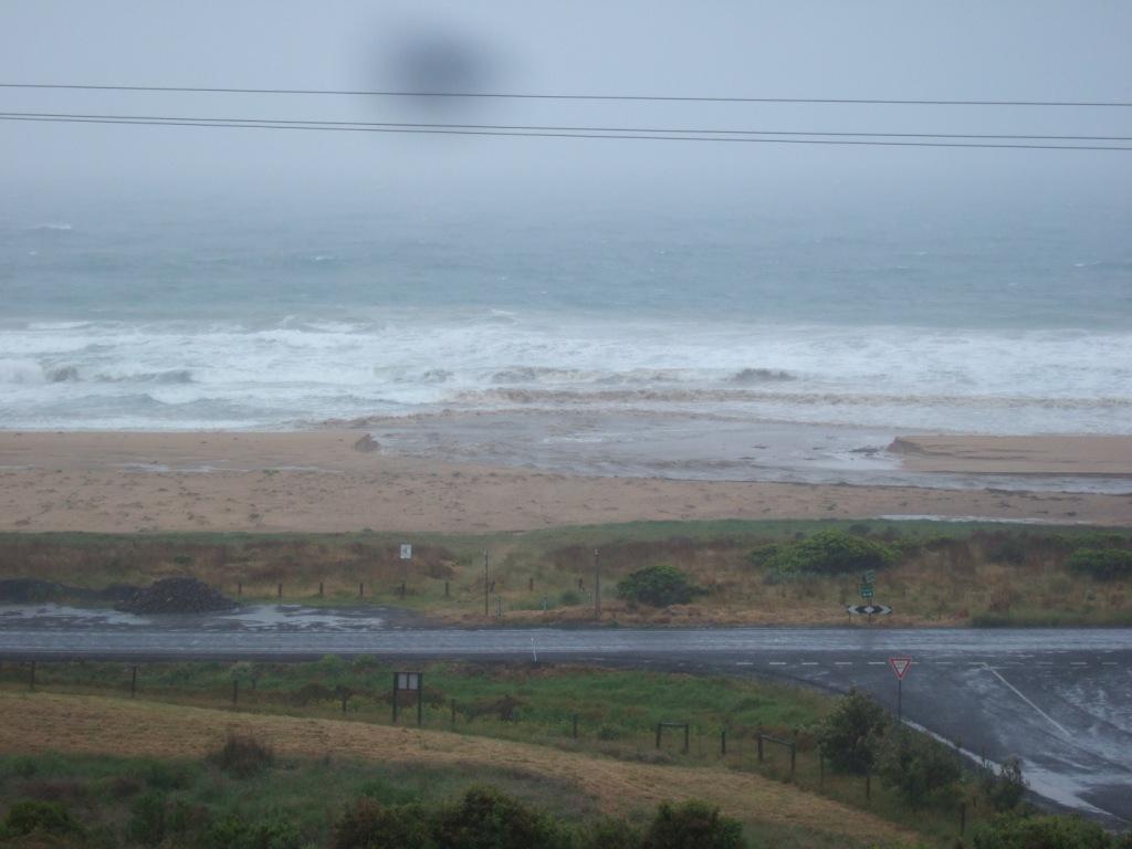
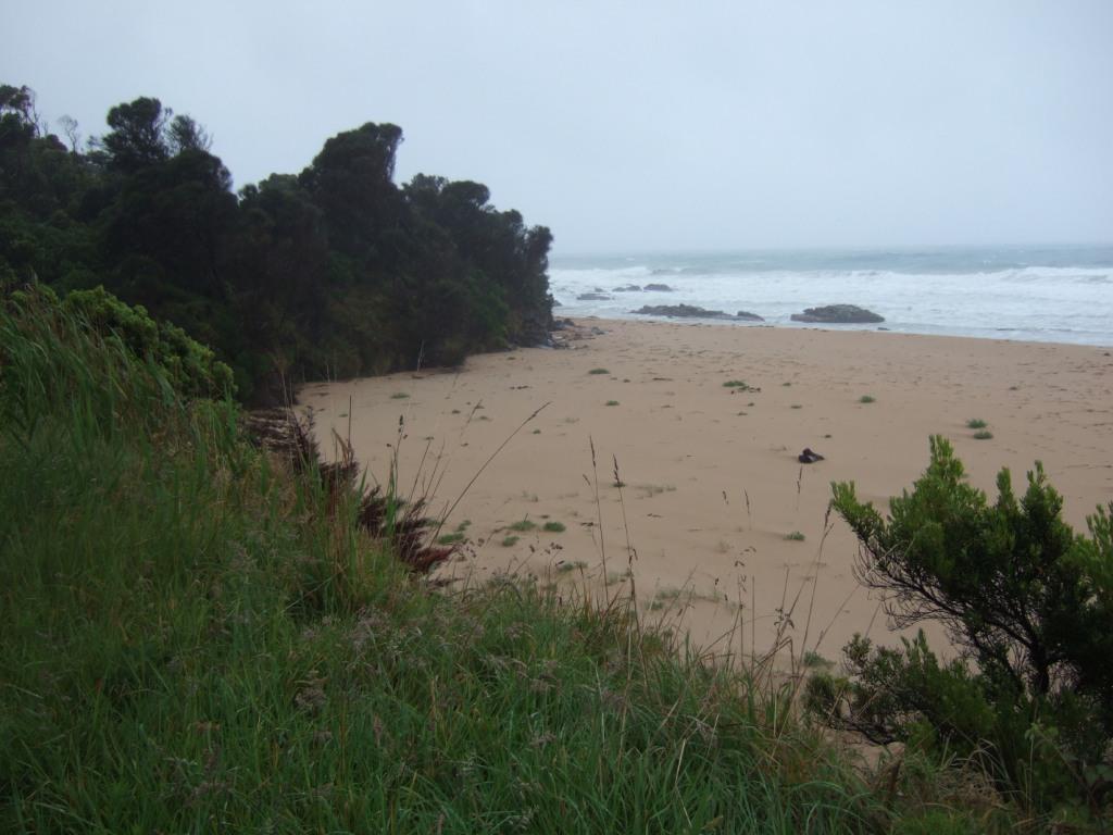
Today was very stormy. with high seas and wind. The river was over the pole The sea was washing over the berm. Down towards Apollo Bay had cause considerable erosion - see picture |
|
| #12510 | 14 Jun 2018 | Approved | ||
| #12509 | 10 May 2018 | Approved | ||
| #12508 | 26 Apr 2018 | Approved | ||
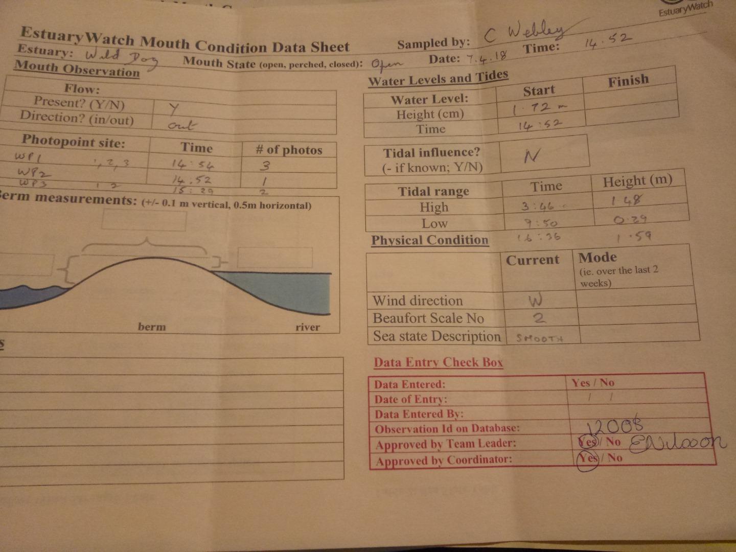
| #12008 | 7 Apr 2018 | Approved | ||
| #12507 | 5 Mar 2018 | Approved | ||
| #10429 | 13 Jul 2016 | Approved |
Notes:
The photos of the photopoints are in the event folder of the same date
|
|
| #10397 | 1 May 2016 | Approved | Notes: Heavy rainfall in the past few days. River running well. Has cut into the corner of the bank above eastern rocks. | |
| #10312 | 11 Feb 2016 | Approved |
Notes:
River sluggish Has nearly reached rocks at Pirates Cove but is very meandering Berm height building - many plants growing on berm Noted mouth closed on Mar 10th |
|
| #9916 | 16 Oct 2015 | Approved |
      |
|
| #9915 | 28 Aug 2015 | Approved | ||
| #9862 | 31 Jul 2015 | Approved | Notes: Photo shoot for kombi hire in the car park. Water is a milky tea colour. | |
| #9913 | 5 Jun 2015 | Approved |
      |
|
| #9757 | 1 May 2015 | Approved |
    |
|
| #9912 | 17 Apr 2015 | Approved |
      |
|
| #9907 | 13 Mar 2015 | Approved |
Notes:
No berm    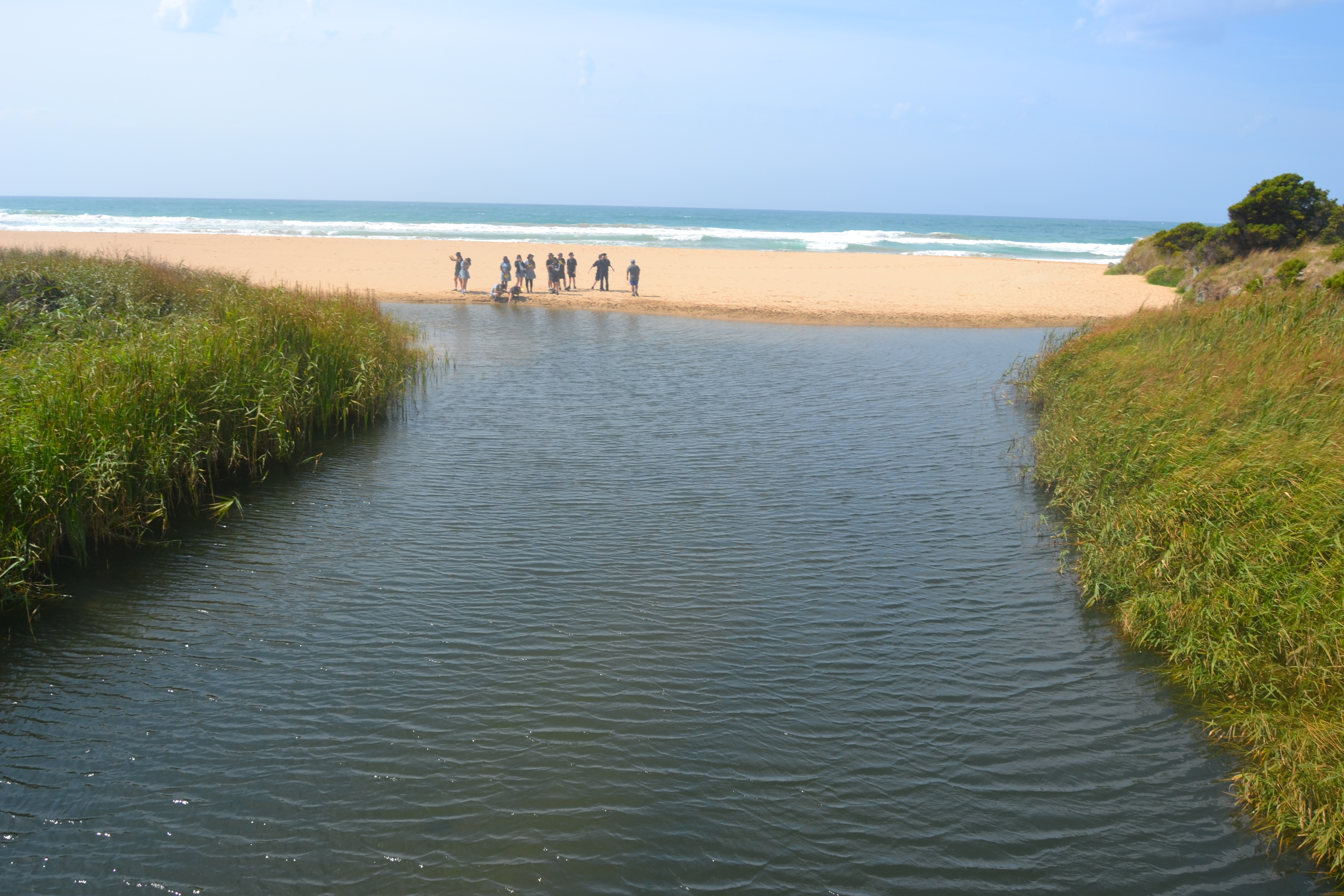 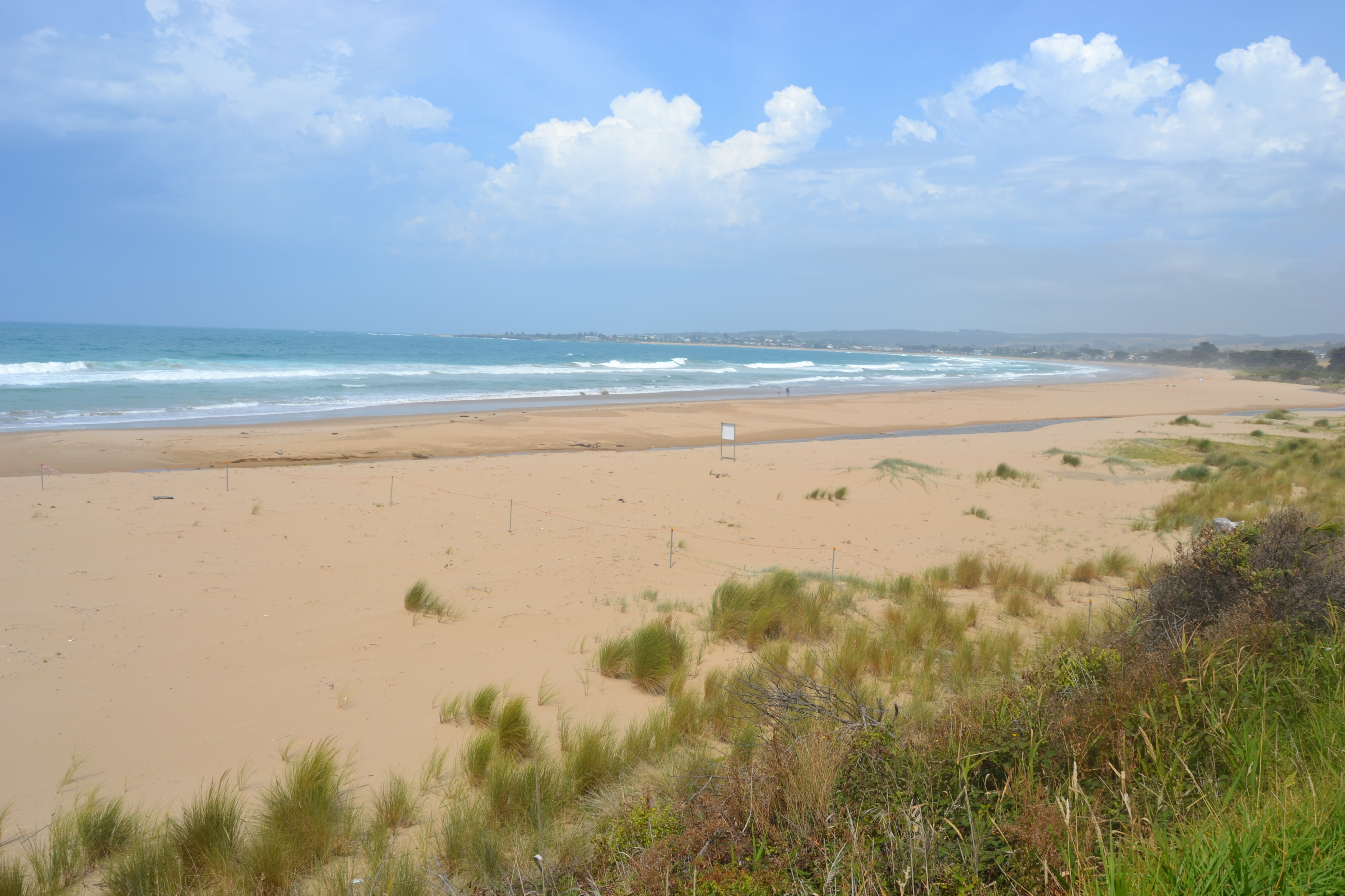 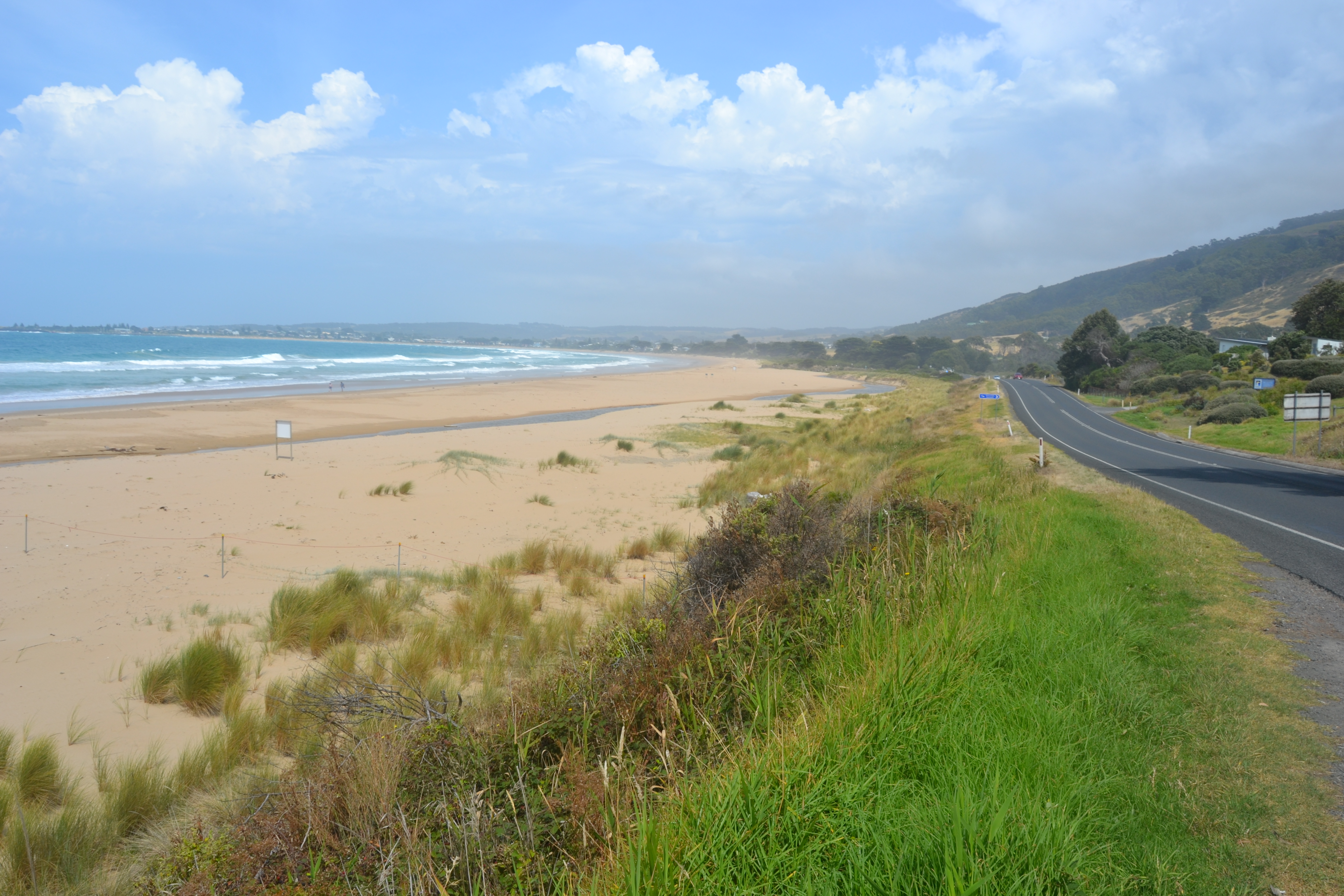 |
|
| #9906 | 13 Feb 2015 | Approved |
 |
|
| #10157 | 12 Nov 2014 | Approved | ||
| #9110 | 31 Jul 2014 | Approved | ||
| #9109 | 30 Jul 2014 | Approved |
Notes:
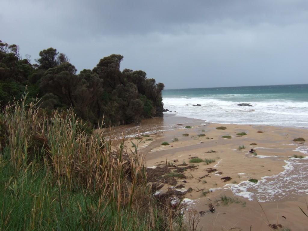
160 mm rainfall in last month Sea washing over bar and reaching back of beach Left bank eroded to back of beach by prior storm event |
|
| #8971 | 5 Jun 2014 | Approved |
Notes:
|
|
| #10153 | 4 Jun 2014 | Approved | ||
| #10155 | 7 May 2014 | Approved | ||
| #10156 | 23 Apr 2014 | Approved | ||
| #8954 | 19 Apr 2014 | Approved | Notes: Two photos of high tide at Pisces car park West along the beach from Wild Dog | |
| #10154 | 5 Mar 2014 | Approved | ||
| #8974 | 6 Dec 2013 | Approved | Notes: Heavy rain and sea on one or two days in the previous weeks had caused the river to cut deeply into left bank on beech | |
| #8501 | 11 Sep 2013 | Approved | ||
| #10821 | 13 Jun 2013 | Approved |
Notes:
Length of estuary 70m Width of estuary at mouth 27.6m Depth at mouth 40cm Depth at halfway mark 56cm Depth at bridge 38cm Width of bridge 12m |
|
| #10822 | 9 May 2013 | Approved |
Notes:
Length 95m Width mouth 32.5m Width middle 5m Depth mouth 3.2cm Depth middle 1.2cm Depth bridge 67cm |
|
| #8500 | 4 May 2013 | Approved | ||
| #10823 | 18 Apr 2013 | Approved |
Notes:
Width of top under bridge 15.5m Depth of top 64.5cm Width of mouth 5.5m Depth of mouth 4.5cm Width of middle 3m Depth of middle 4.5cm Length of river 123m |
|
| #8947 | 2 Apr 2013 | Approved |
Notes:
River going out about 50 m from West groin. Sea flooding over sand bank as on previous 2 days Rainfall 8 mm previous day |
|
| #10824 | 14 Mar 2013 | Approved |
Notes:
Length to mouth 517m Width of mouth 9.8m Depth of mouth 5cm Width of middle 27m Depth at middle 61cm
|
|
| #8913 | 27 Feb 2013 | Approved | ||
| #10825 | 8 Aug 2012 | Approved |
|
|
| #7065 | 12 Mar 2012 | Approved | Notes: At low tide only a narrow channel is flowing out about 100m from West wall but at high tide the west end of the beach is substantially covered. | |
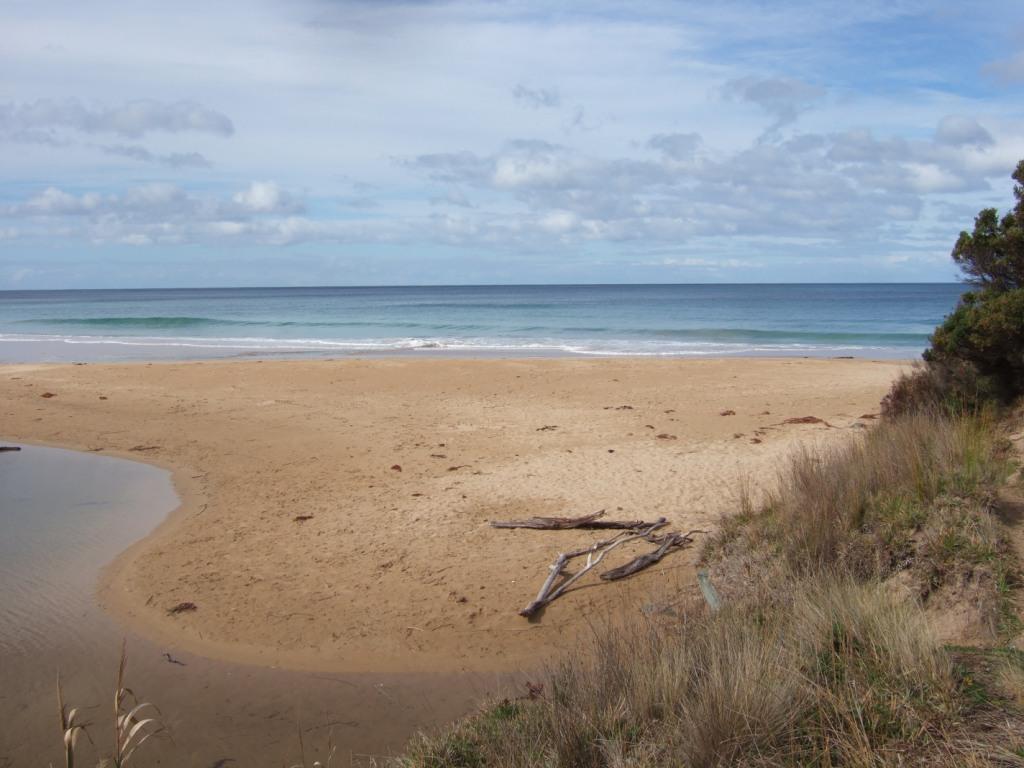
| #7064 | 27 Feb 2012 | Approved | Notes: The pictures show a very flat beach. At low tide there is a narrow estuary but at high tide a wide area of the beach may be covered | |
| #6348 | 30 Oct 2011 | Approved |
Notes:
AHD below AHD post Outlet now moving eastward Town beach flattening out after high tide |
|
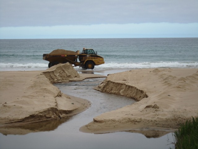
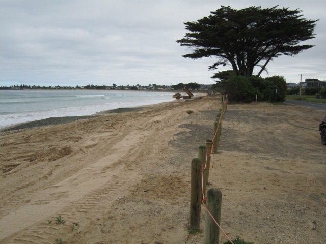
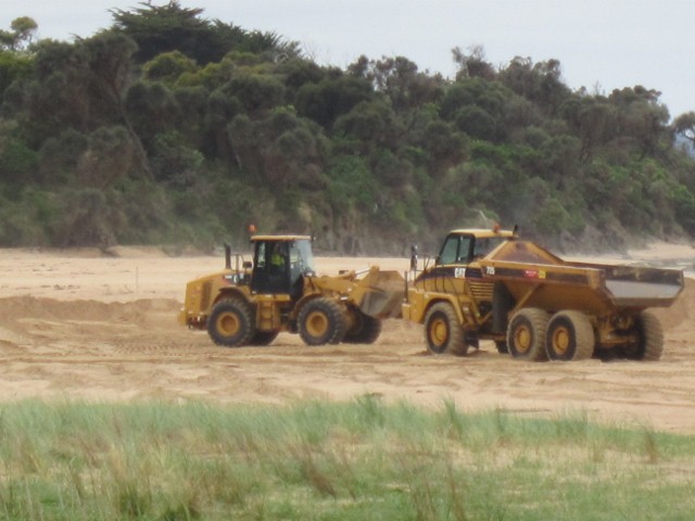
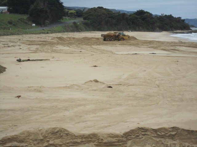
| #6345 | 21 Oct 2011 | Approved | Notes: On 17/10/11 Contractors cut a channel straight out to sea and for 5 days moved sand from the middle of the Wild Dog beach to the town beach near end of Marriners Rd finishing on 21/10/11. The depth of the channel was 1m near shore and 1.6 near sea. | |
| #6344 | 17 Aug 2011 | Approved | Notes: By 17.8.11 the outflow has moved 100 m eastward and there are high banks 1m deep on both sides of the river but the western end of the groin is rapidly eroding | |
| #5962 | 16 Jul 2011 | Approved | Notes: On weekend of 9/10 July high wind at high tide caused major erosion of the beach especially the western groin. Afterwards the beach was completel flat and the river flowed straight out to sea. The river level was very high but by 16th the level is about 0.5 metres below the bottom scale on the AHD post | |
| #5812 | 15 Jun 2011 | Approved | Notes: River level at bridge above the top 2m mark.River has been pushed back along the beach and exits only 70m from east end. For most of the beach the river is only 30 cm below sand level but at far end the sand wall on the land side is more than 2m deep. | |
| #5811 | 17 Apr 2011 | Approved | ||
| #5810 | 8 Mar 2011 | Approved | Notes: Bank on sea side 50cm above river, bank on land side about 75 cm. | |
| #5809 | 31 Jan 2011 | Approved | ||
| #4625 | 27 Oct 2010 | Approved | Notes: The outlet has moved back towards the middle of the beach about 200 m from the west end. Sand has piled up at the back of the beach and the river has cut a bank 1.5-2m deep. Sand continues to pile up at the west wall. | |
| #4624 | 18 Sep 2010 | Approved | Notes: Strong winds on16-17.9.2010 caused the beach to be completely covered by the sea and the sand dunes were washed flat. When the sea retreated the outlet had moved from 450 m along the beach back to 80 m from the west wall. Sea water reached the bridge but no further. Next day the AHD was back to 1.22 with no tidal influence | |
| #4263 | 13 Aug 2010 | Approved | Notes: Heavy rain and high tide caused water to cover most of the east end of the beach and the sand dunes and murram grass were swept away. However at low tide the outlet to sea returned to mid beach. The photopoints were 1,2,3,Photos from west end, 4 from bridge, 5 river midbeach and 6 outlet to sea. | |
| #4262 | 4 Jul 2010 | Approved |
Notes:
Outflow has moved further east to about 100m from eastern end.The photopoints are 1.2.3.Beach looking eastward from west sea wall, 4.looking to sea from roadbridge 5.looking midway along estuary 6. outlet to sea       |
|
| #3643 | 30 May 2010 | Approved | Notes: Strong easterly wind and highest tide in May caused sea to cover much of the beach and river to back up although general flow still out. Ahd soon fell below 1.6. Photopoints 1-3 nos.41,42,43. Photopoint 5 beach near the river outflow 45 | |
| #3584 | 19 May 2010 | Approved | Notes: High tides have covered half the beach and brought outflow back about 100m westward toward centre of beach | |
| #3582 | 15 Apr 2010 | Approved |
|
|
| #3583 | 15 Apr 2010 | Approved |
Notes:
Photopoints 1 -172 2 - 173 3 - 174 4 - 175 |
|
| #3581 | 20 Mar 2010 | Approved | Notes: Sea covered half of beach at high tide causing the river to back up | |
| #3243 | 12 Feb 2010 | Approved | Notes: River running swiftly,high tide level has no influence on the AHD measurement. Due to heavy rain the outlet has moved 100m further east and is now about 450m from bridge and only 50-100m from the east end of the beach. | |
| #3228 | 27 Jan 2010 | Approved | Notes: outlet is now 350m from western end of beach | |
| #3823 | 8 Dec 2009 | Approved |
|
|
| #3824 | 28 Nov 2009 | Approved |
|
|
| #3825 | 10 Nov 2009 | Approved |
|
|
| #2824 | 14 Oct 2009 | Approved | Notes: The beach profile constantly changes. Estuary outlet now about 350m from West End. Sand is building up from the west, forcing the outlet from the east. West wall has eroded at sea end and appeared to much lower due to sand level being higher. | |
| #2145 | 9 Jun 2009 | Approved | Notes: After briefly flowing out in a westerly direction, the river changed to its usual outlet about 250m from western end. | |
| #2143 | 6 Jun 2009 | Approved |
Notes:
Flow out to sea about 120m west of western sea wall.
|
|
| #2144 | 29 May 2009 | Approved | ||
| #2147 | 26 Apr 2009 | Approved | Notes: The beach was covered with water between 12.30 and 14.30. Although the sea washed in at the eastern end of the beach, it finally drained to the western end as it has for the whole of 2009 to date. West bank continues to erode. | |
| #2146 | 25 Apr 2009 | Approved | Notes: Due to build up of sands the sea seems to be lower. River looks moderately high due to sand bar. On the land side of the bridge, the water level is moderately high due to hold up of lower water at the mouth. It is difficult to compare levels due to change of AHD post, but i will now get a better comparison in the future. | |
| #2025 | 24 Feb 2009 | Approved | ||
| #2024 | 4 Feb 2009 | Approved | ||
| #2201 | 13 Dec 2008 | Approved | Notes: This observation was created just to upload the photos. | |
| #1983 | 18 Nov 2008 | Approved | Notes: Some algal growth in estuary. | |
| #1982 | 27 Oct 2008 | Approved | ||
| #1981 | 2 Oct 2008 | Approved |
|
|
| #2202 | 29 Sep 2008 | Approved | ||
| #1410 | 22 Aug 2008 | Approved | Notes: Recent heavy rain (55mm) produced a swift flowing river. Waves came up to first river bend - 100 m from the mouth, but not much further. The swift river kept a fairly vigourous swell from making much headway in the river. Futher erosion of the western sandbank is evident near the mouth. | |
| #1411 | 24 Jul 2008 | Approved | Notes: AHD now out of buried in sand to 0.3m. Estimated height of water surface 0.15m on the AHD scale. | |
| #2362 | 27 Jun 2008 | Approved | ||
| #2363 | 14 May 2008 | Approved | ||
| #2365 | 28 Apr 2008 | Approved | ||
| #1984 | 13 Feb 2008 | Approved |
Notes:
Large outflows on 12/12/08.
|
|


All content, files, data and images provided by the EstuaryWatch Data Portal and Gallery are subject to a Creative Commons Attribution License
Content is made available to be used in any way, and should always attribute EstuaryWatch and www.estuarywatch.org.au