EstuaryWatch Data Portal
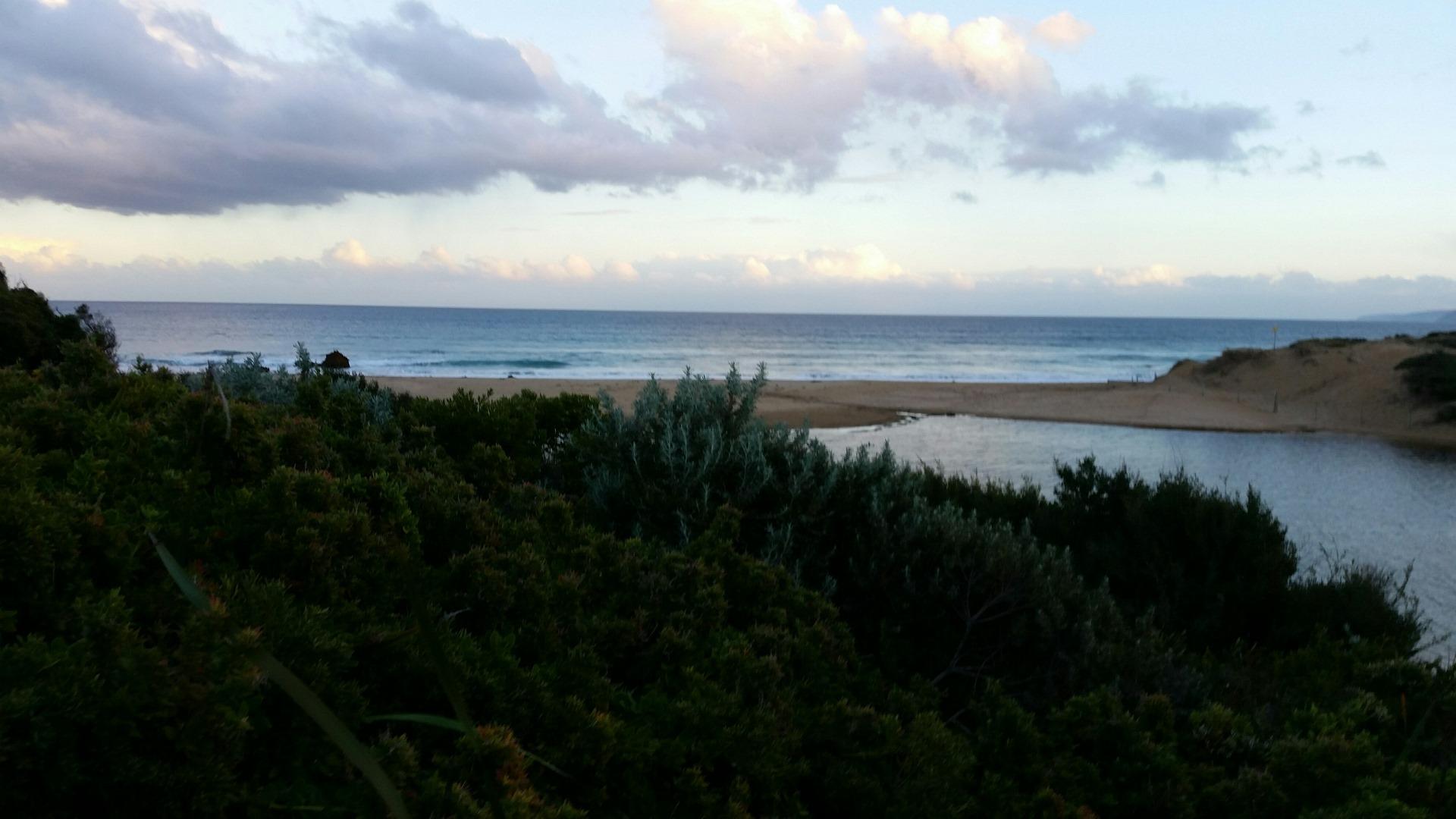
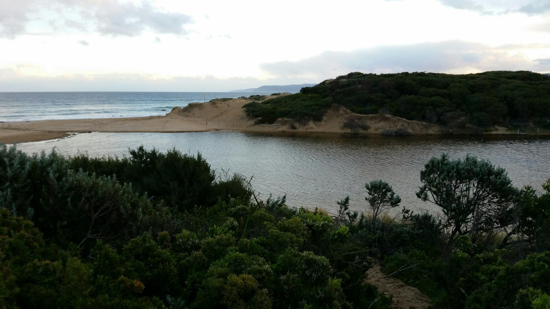
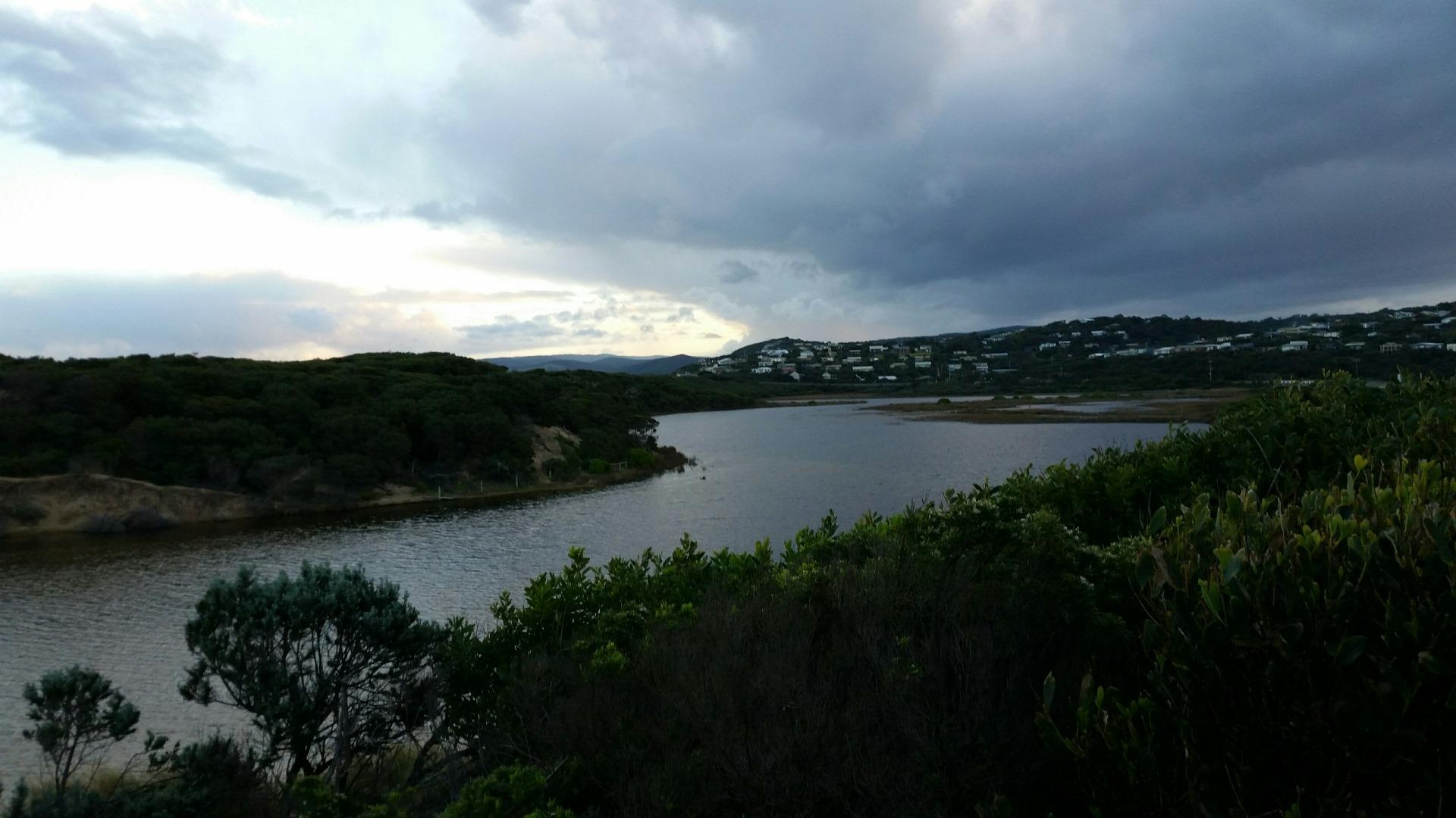
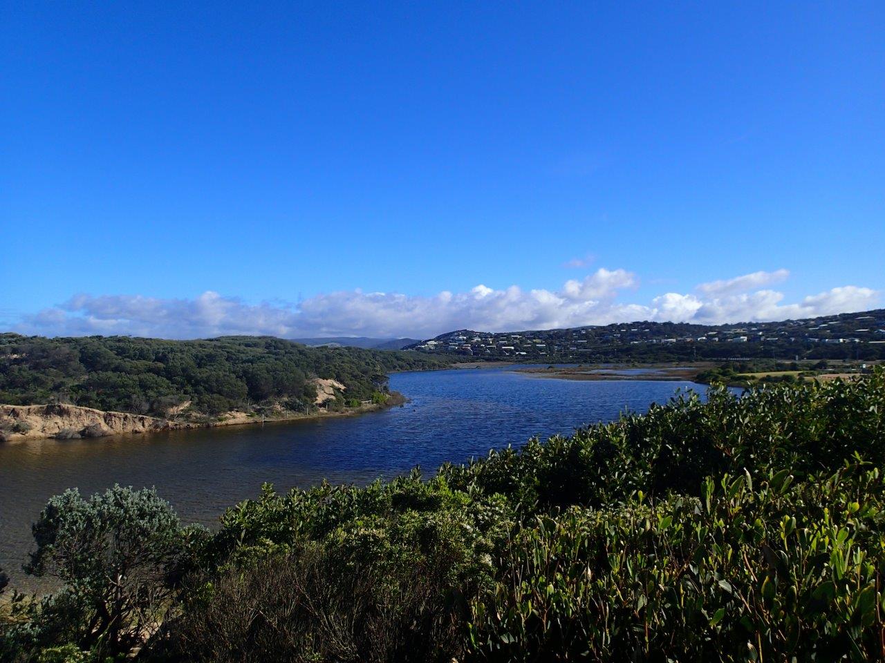
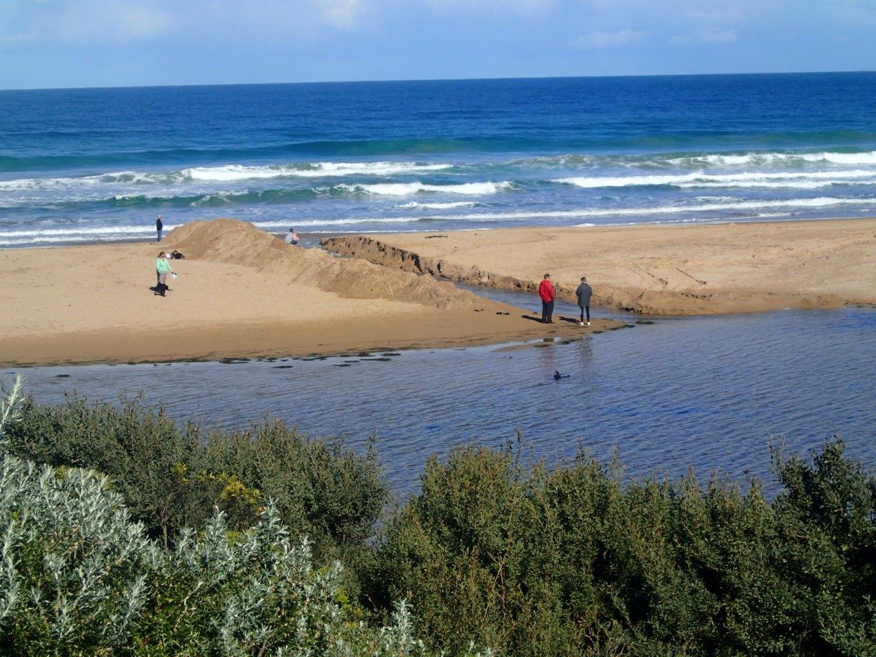
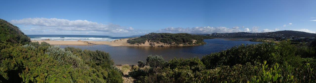
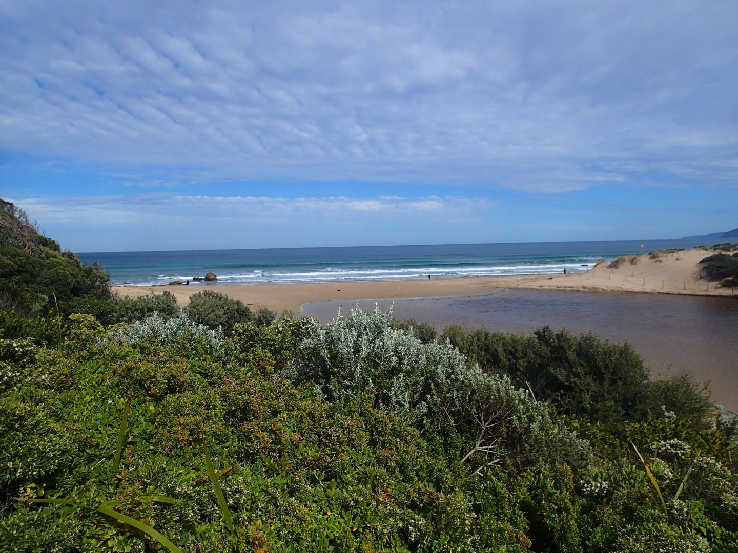
PMC Painkalac Creek Observation Site
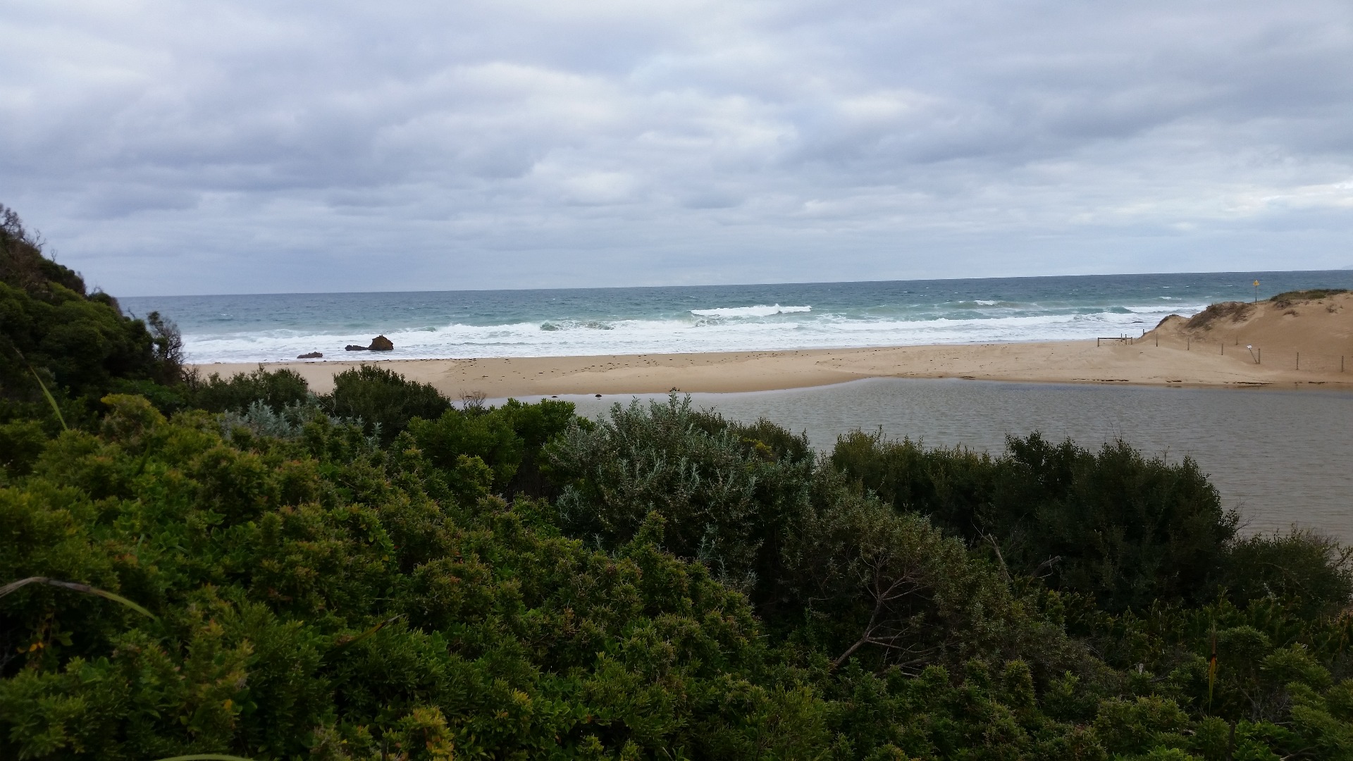
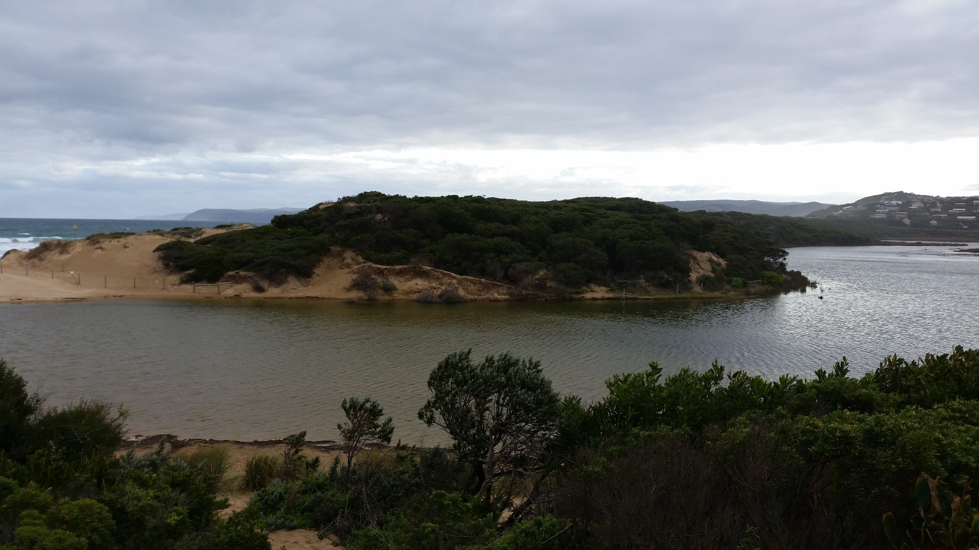
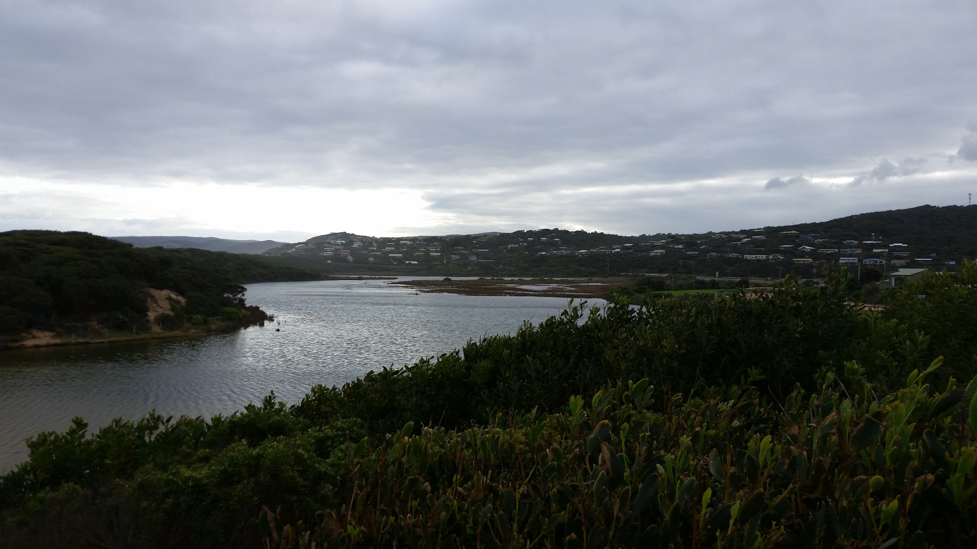
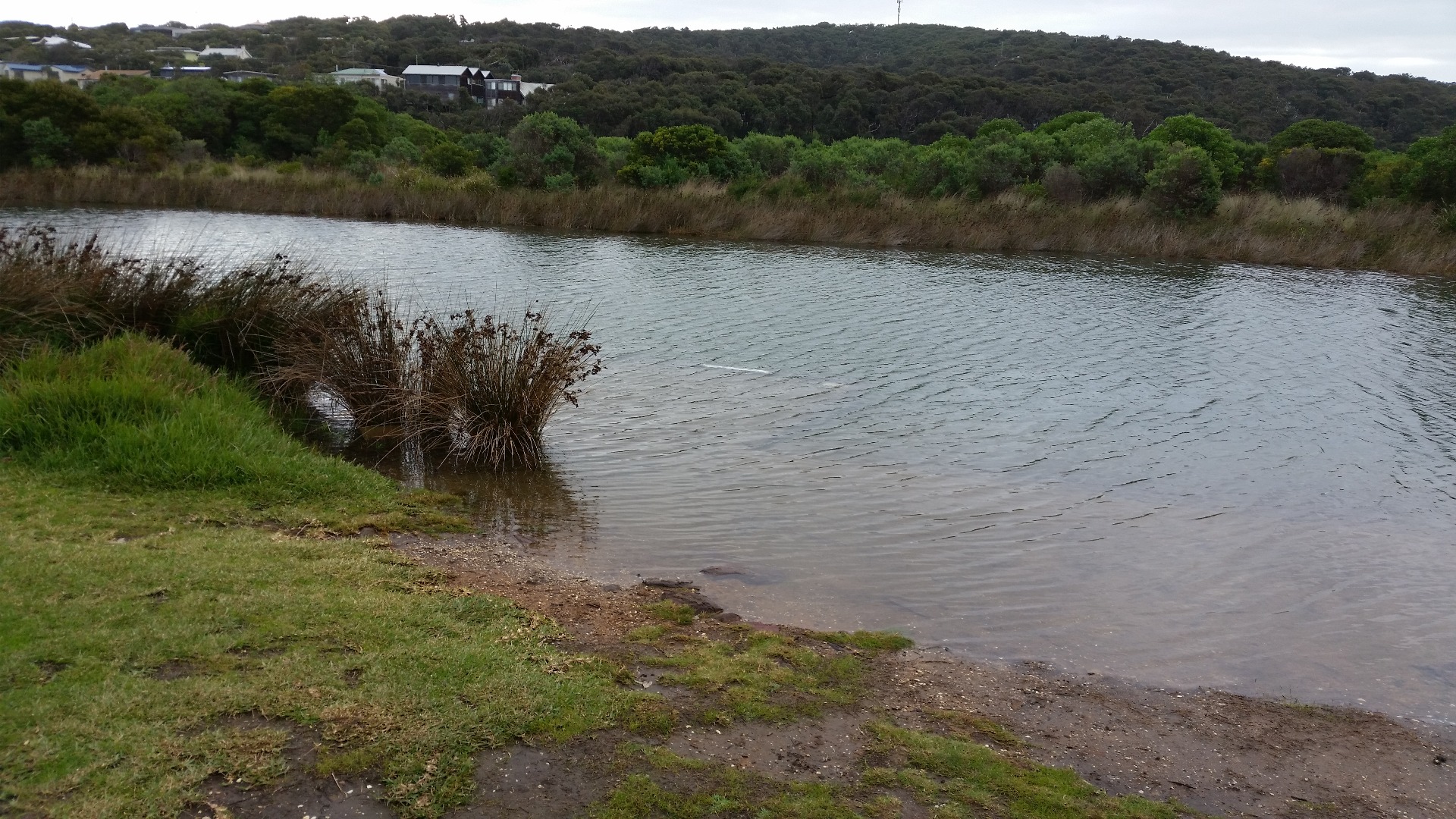
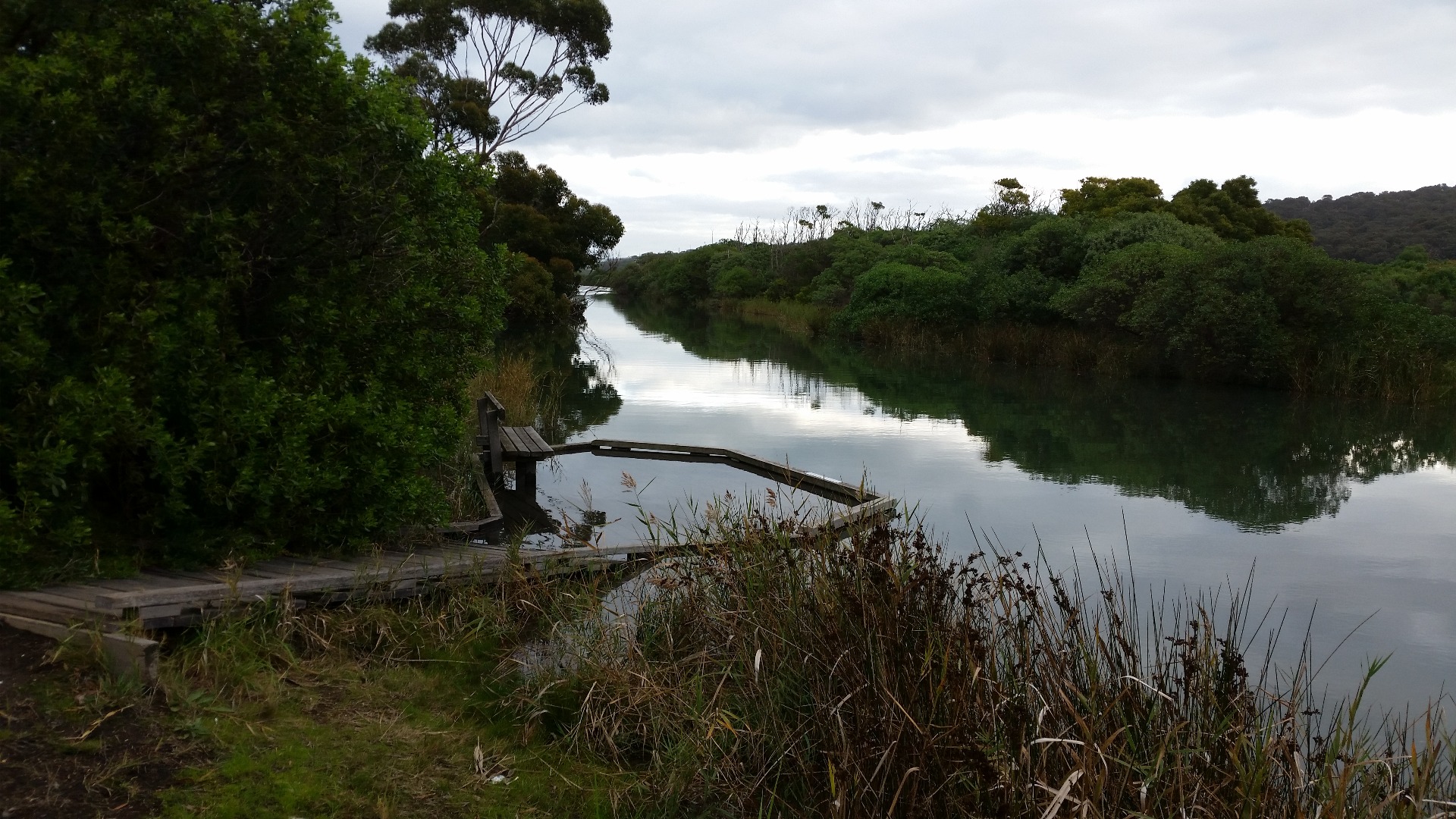
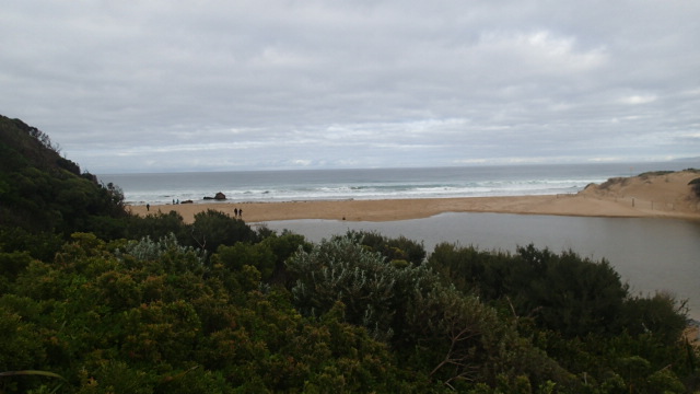
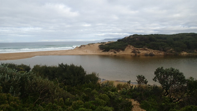
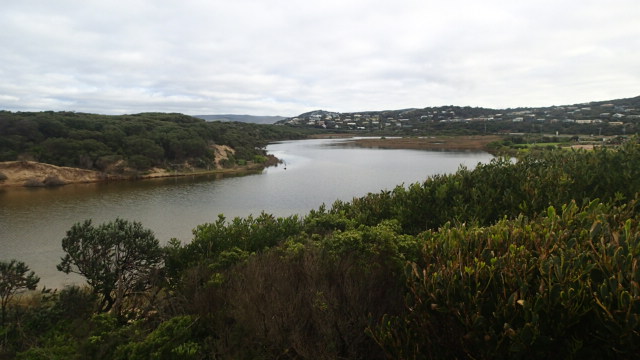
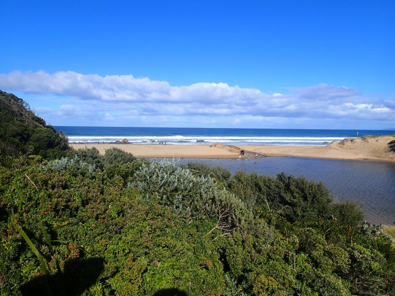
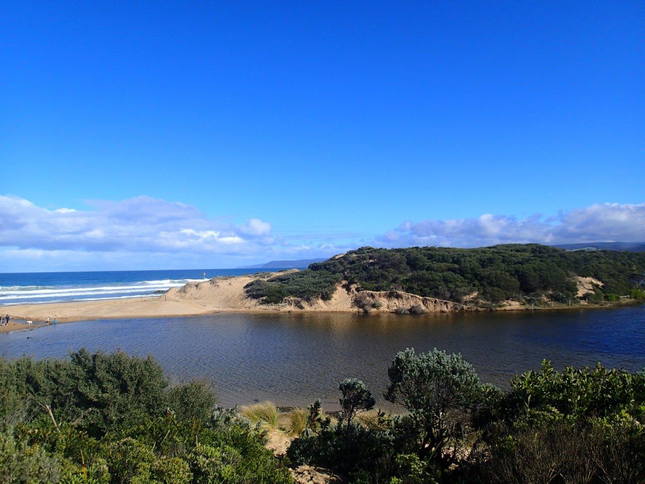
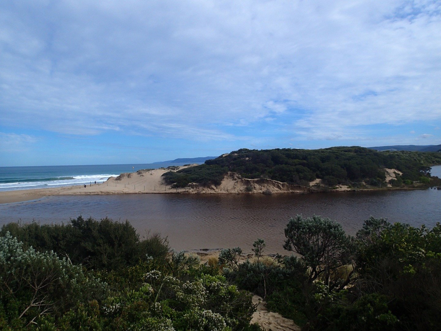
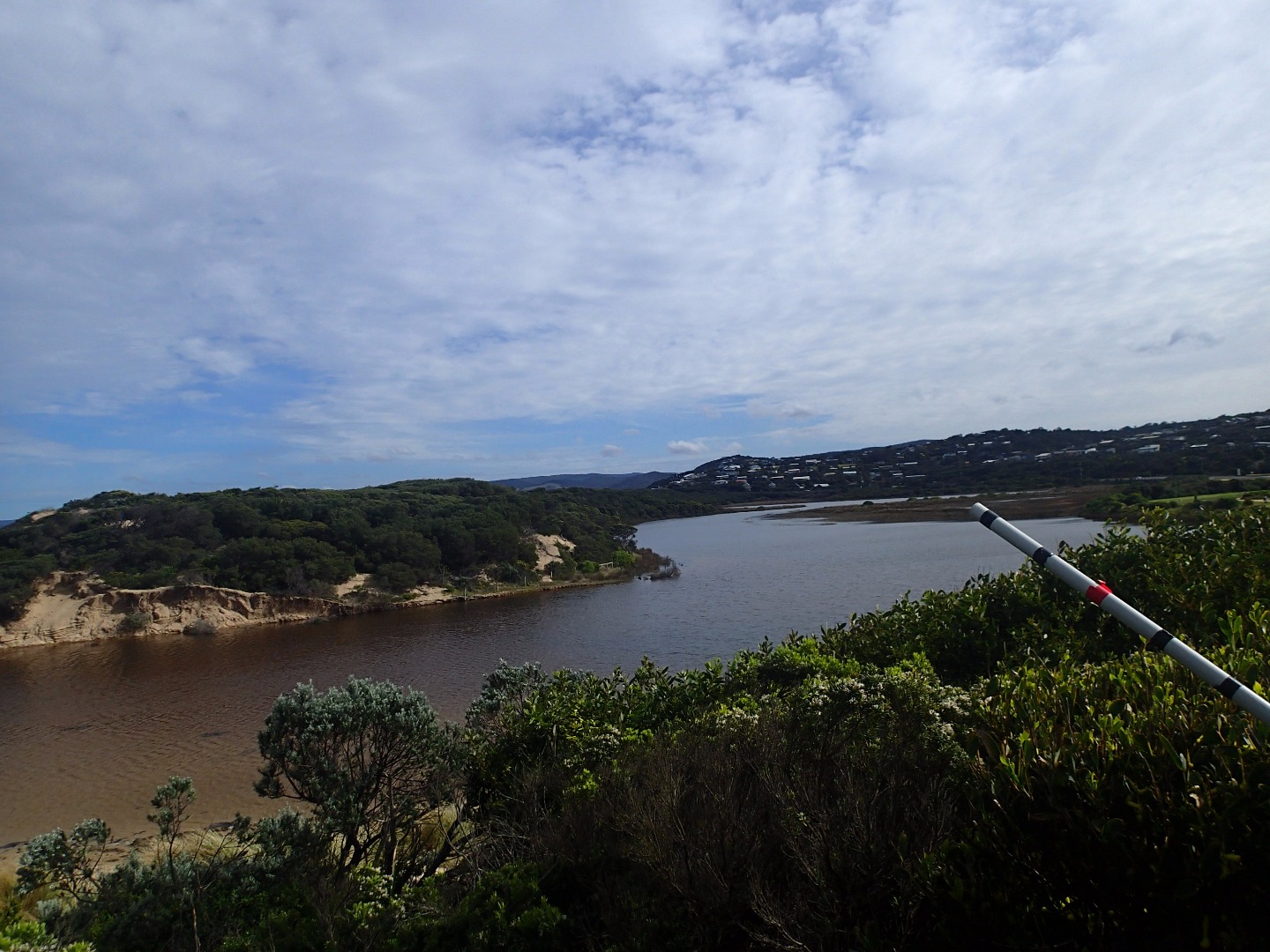
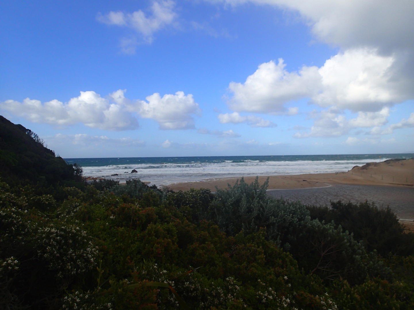
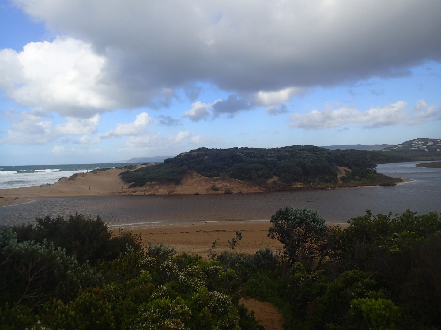
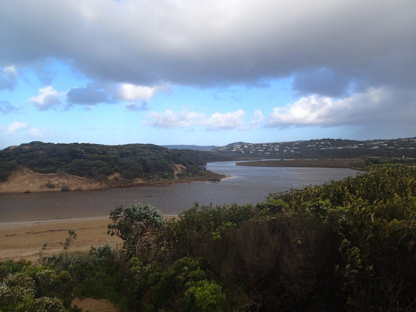
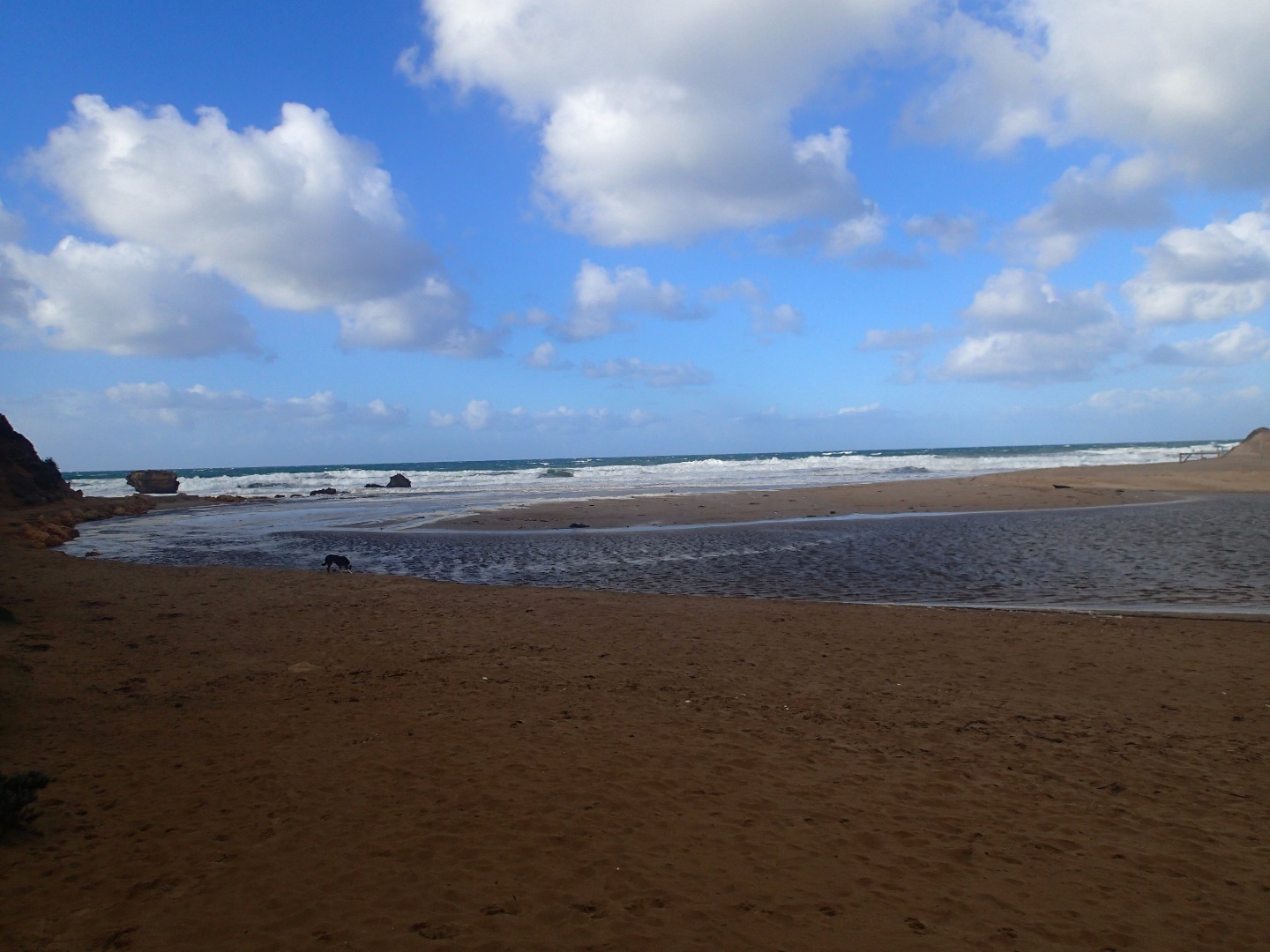
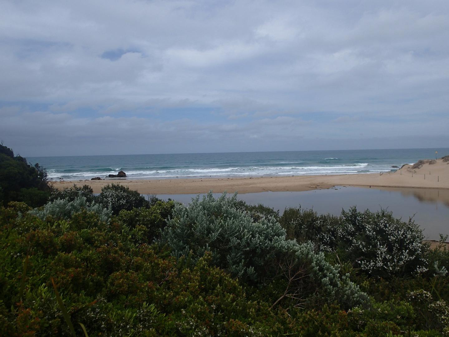
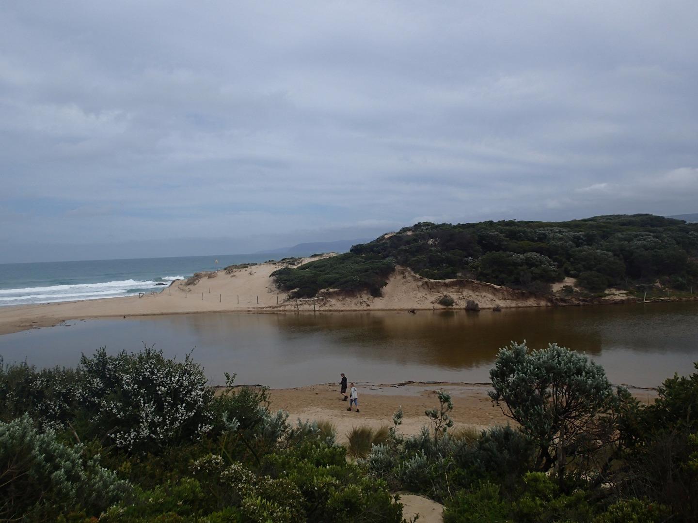
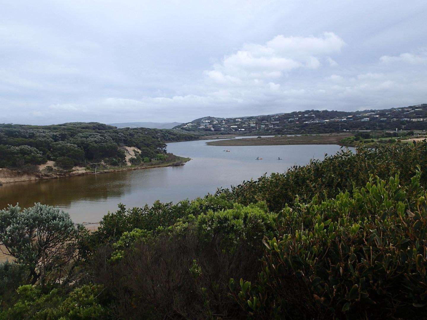
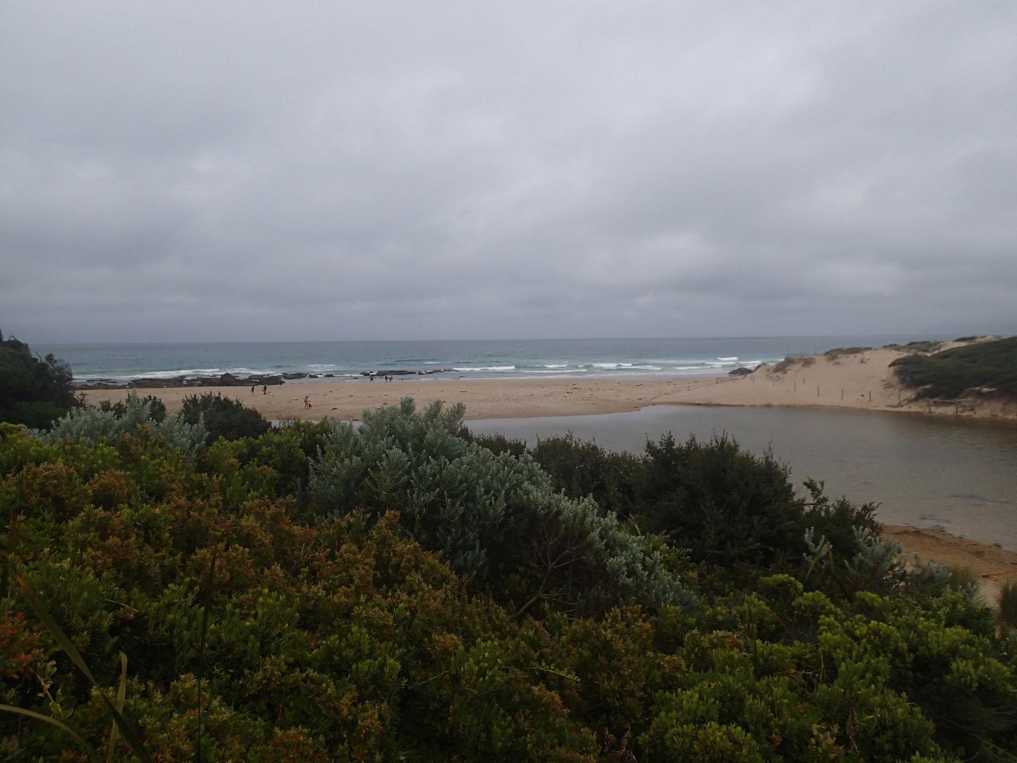
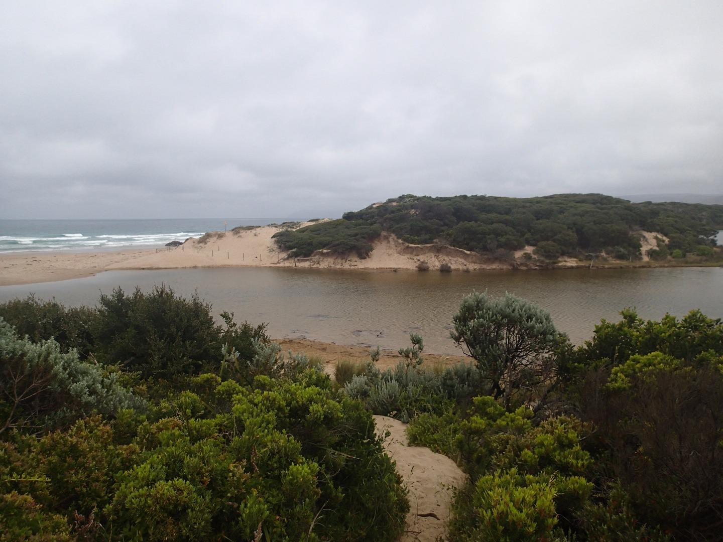
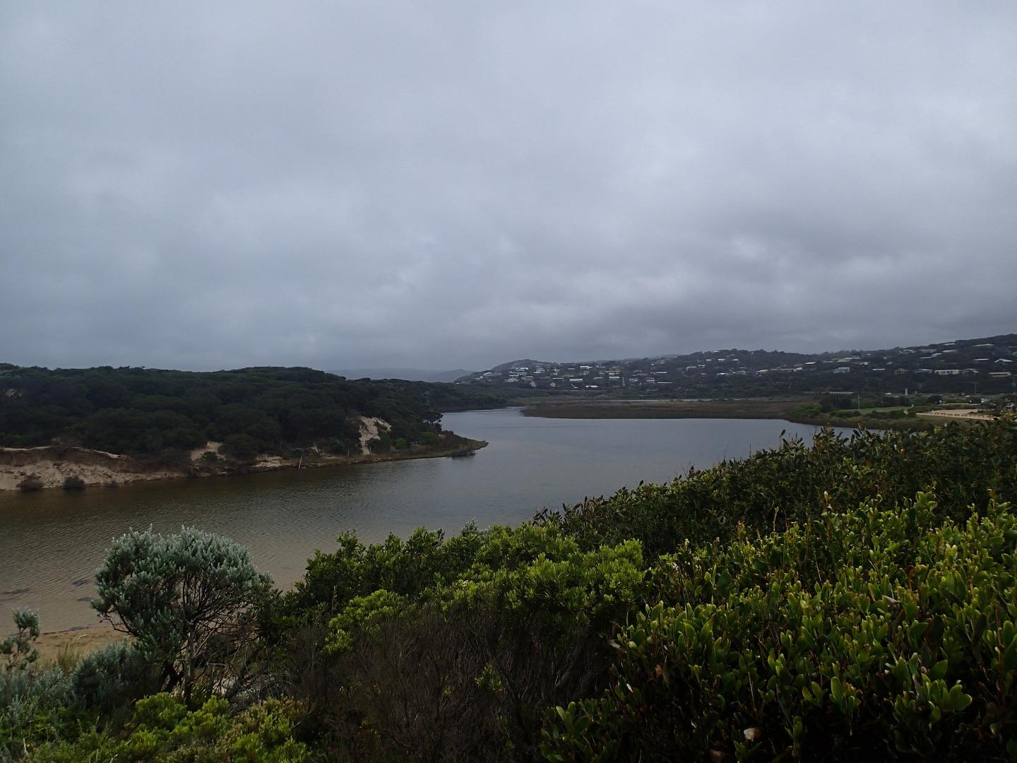
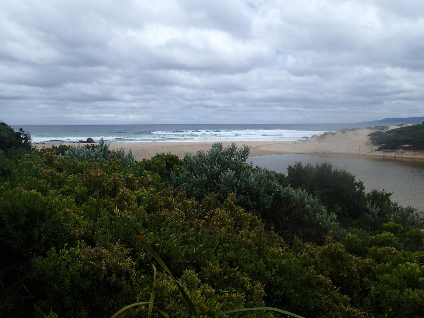
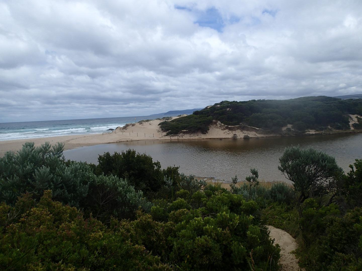
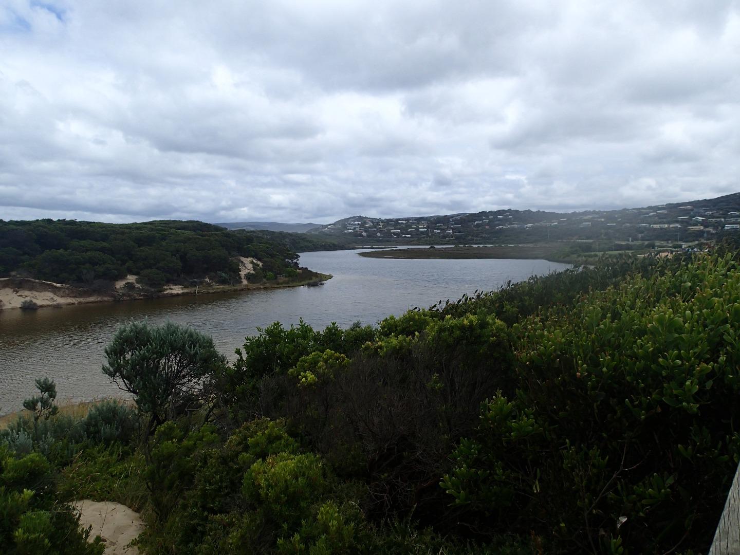
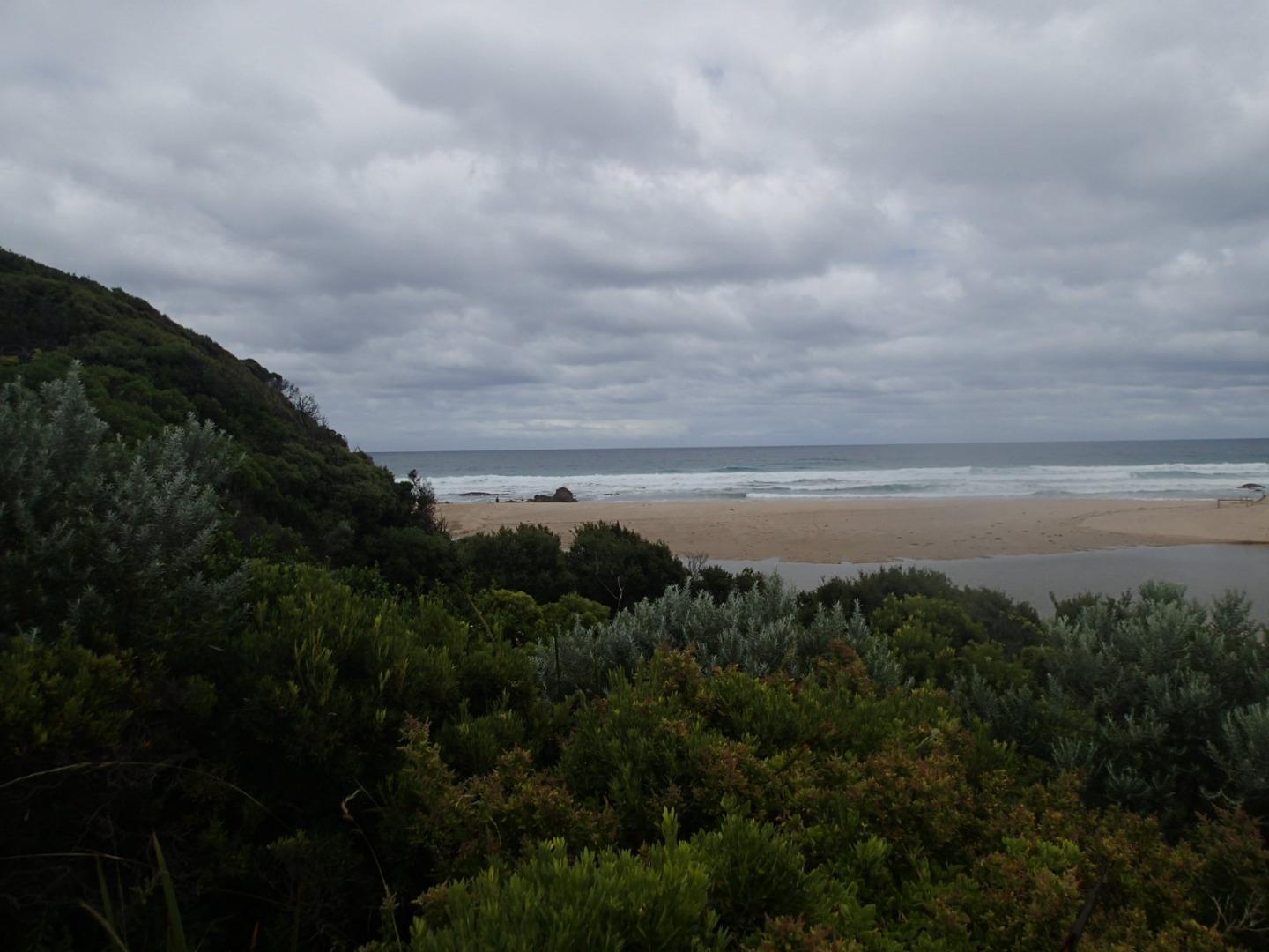
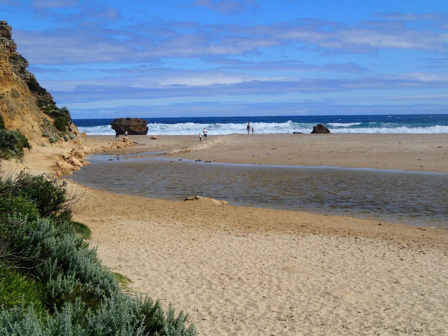
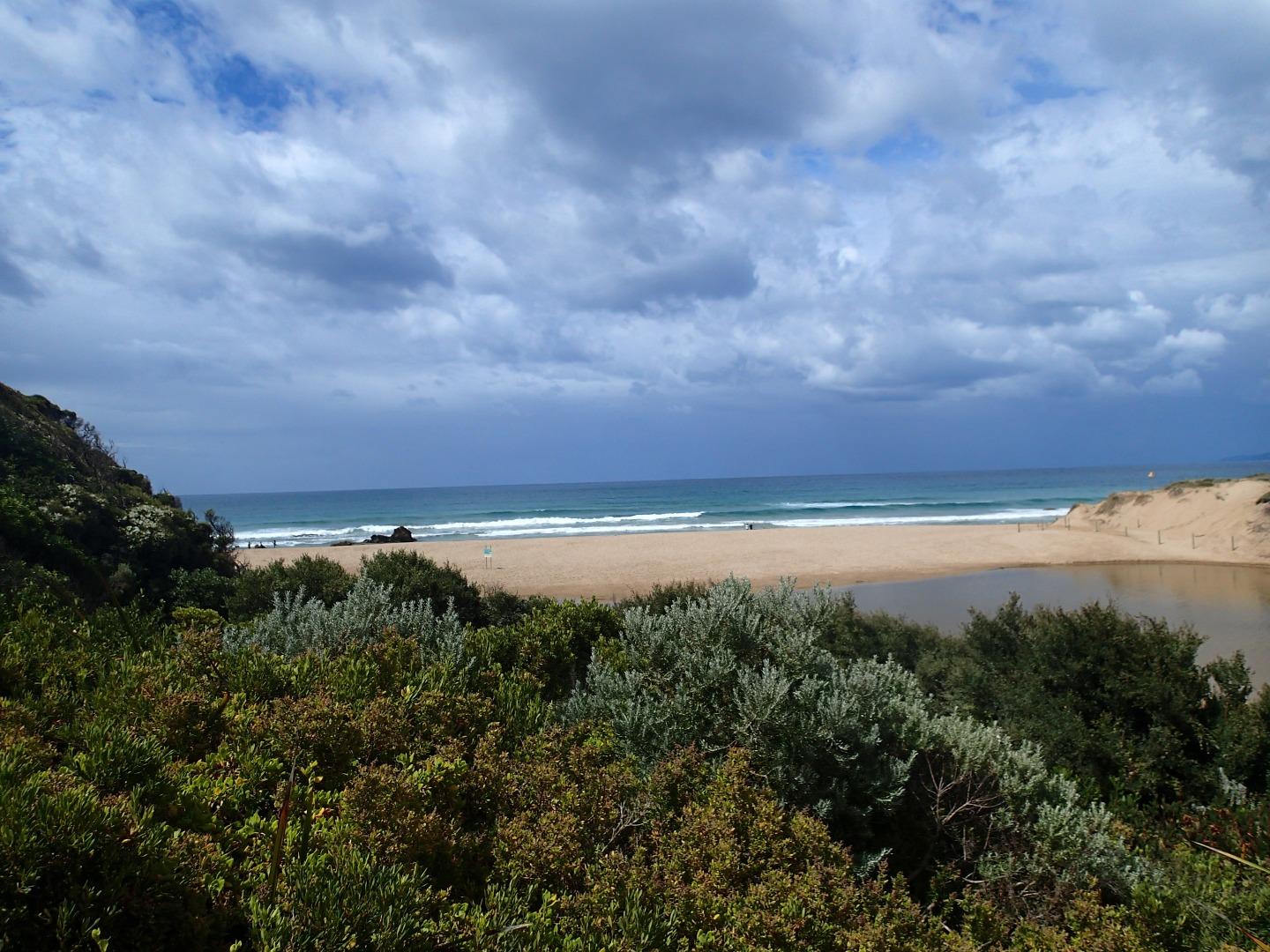
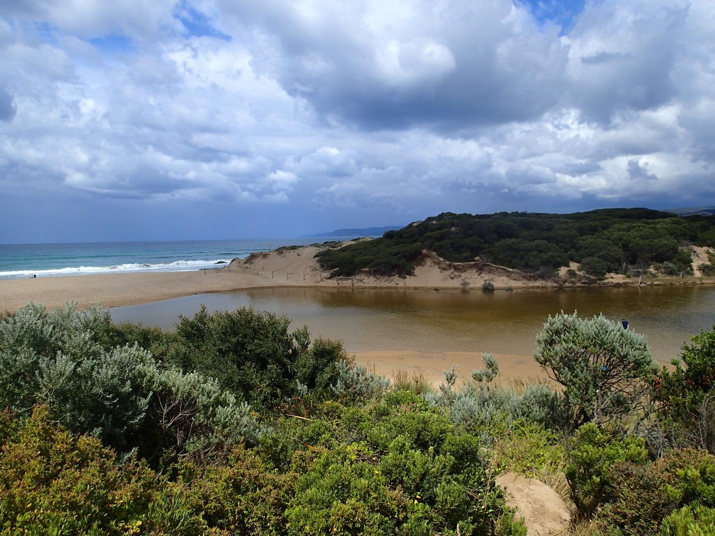
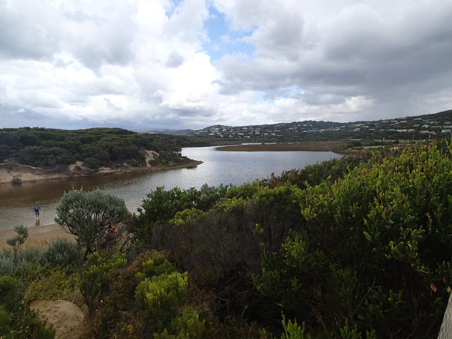
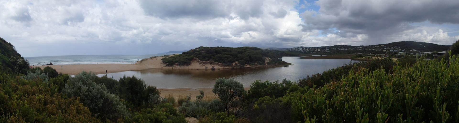
Active Mouth Condition 23-05-2007 - 11-03-2024Painkalac Creek Estuary
272 results found (Displaying 201 - 210)
| ID | Date | Status | Details | |
|---|---|---|---|---|
| #11261 | 31 May 2017 | Approved |
Notes:
|
|
| #11258 | 10 Jun 2017 | Approved |
Notes:
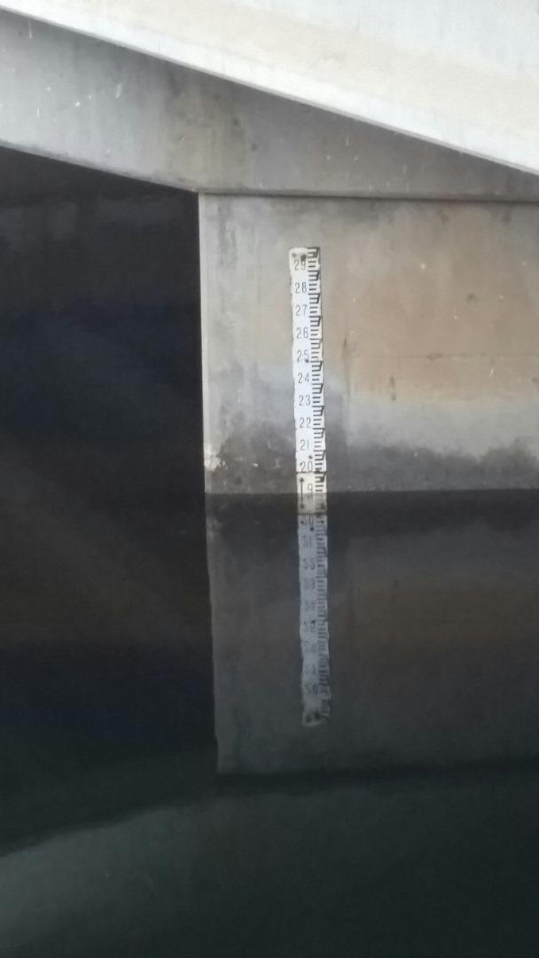
Noticed flood water sensor light was flashing, at the bridge, when measuring AHD water level Coastal Court not monitored as platform under water. |
|
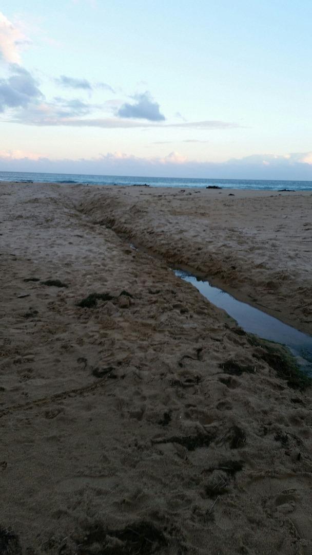
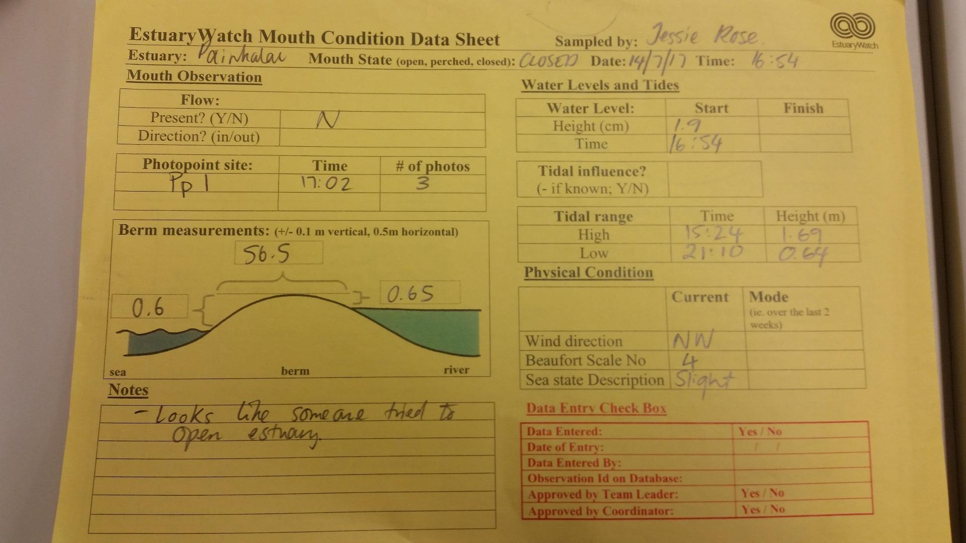
| #11698 | 14 Jul 2017 | Approved |
Notes:
|
|
| #11344 | 15 Jul 2017 | Approved |
Notes:
No berm measurement taken as estuary had been artificially opened. |
|
| #11388 | 13 Aug 2017 | Approved | ||
| #11451 | 16 Sep 2017 | Approved | ||
| #11493 | 7 Oct 2017 | Approved | ||
| #11587 | 12 Nov 2017 | Approved |
Notes:
Berm height on sea side was higher than berm pole. |
|
| #11655 | 9 Dec 2017 | Approved |
Notes:
Physical condition data taken from Willy Weather website. An extra photo was taken the day after monitoring, thought that we should include a better shot of where inlet had been recently opened. Earlier in the week, there had been an area roped off at the mouth to protect nesting Hooded Plovers. This has been removed. |
|
| #11718 | 13 Jan 2018 | Approved | ||

All content, files, data and images provided by the EstuaryWatch Data Portal and Gallery are subject to a Creative Commons Attribution License
Content is made available to be used in any way, and should always attribute EstuaryWatch and www.estuarywatch.org.au