EstuaryWatch Data Portal
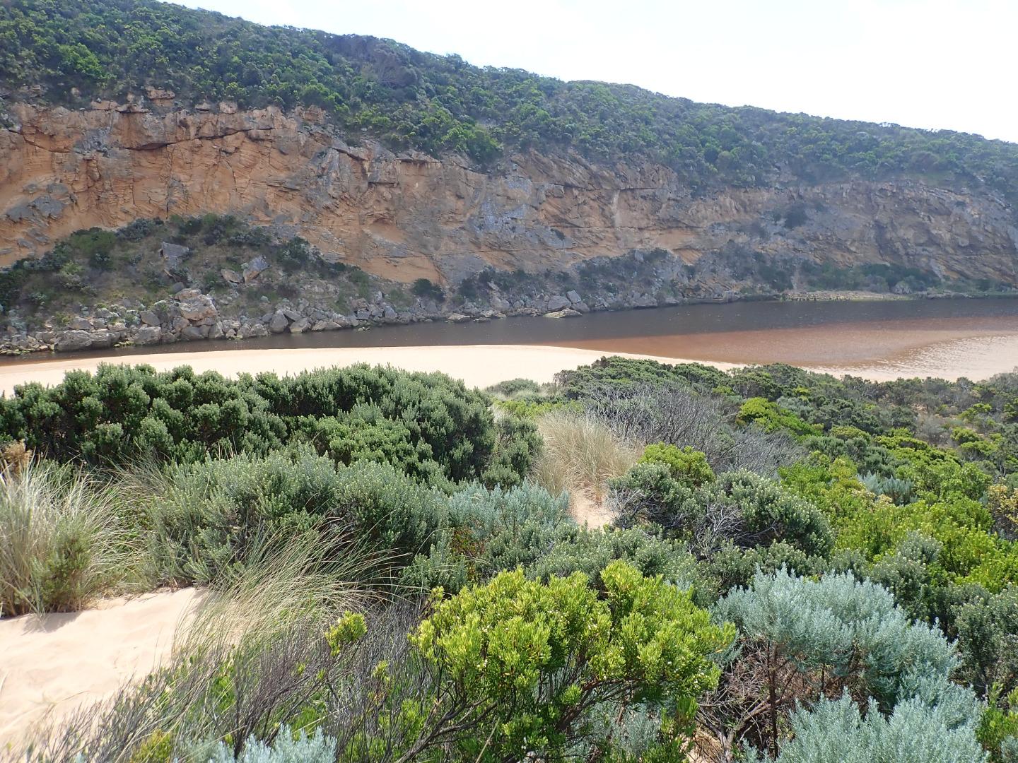
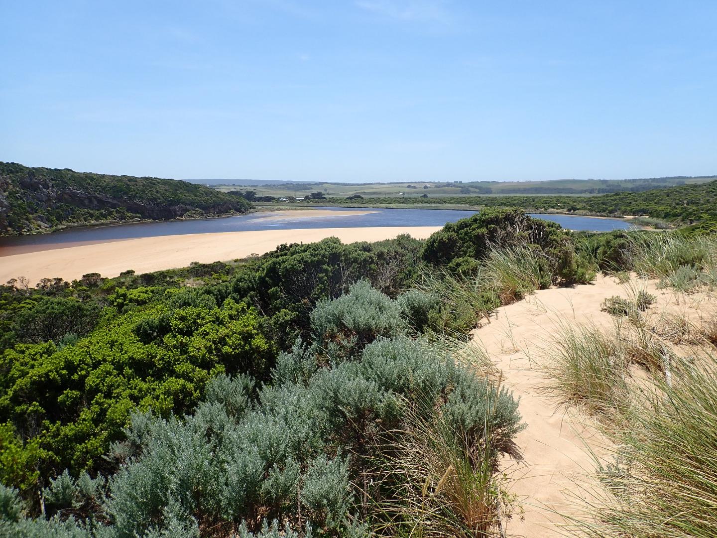
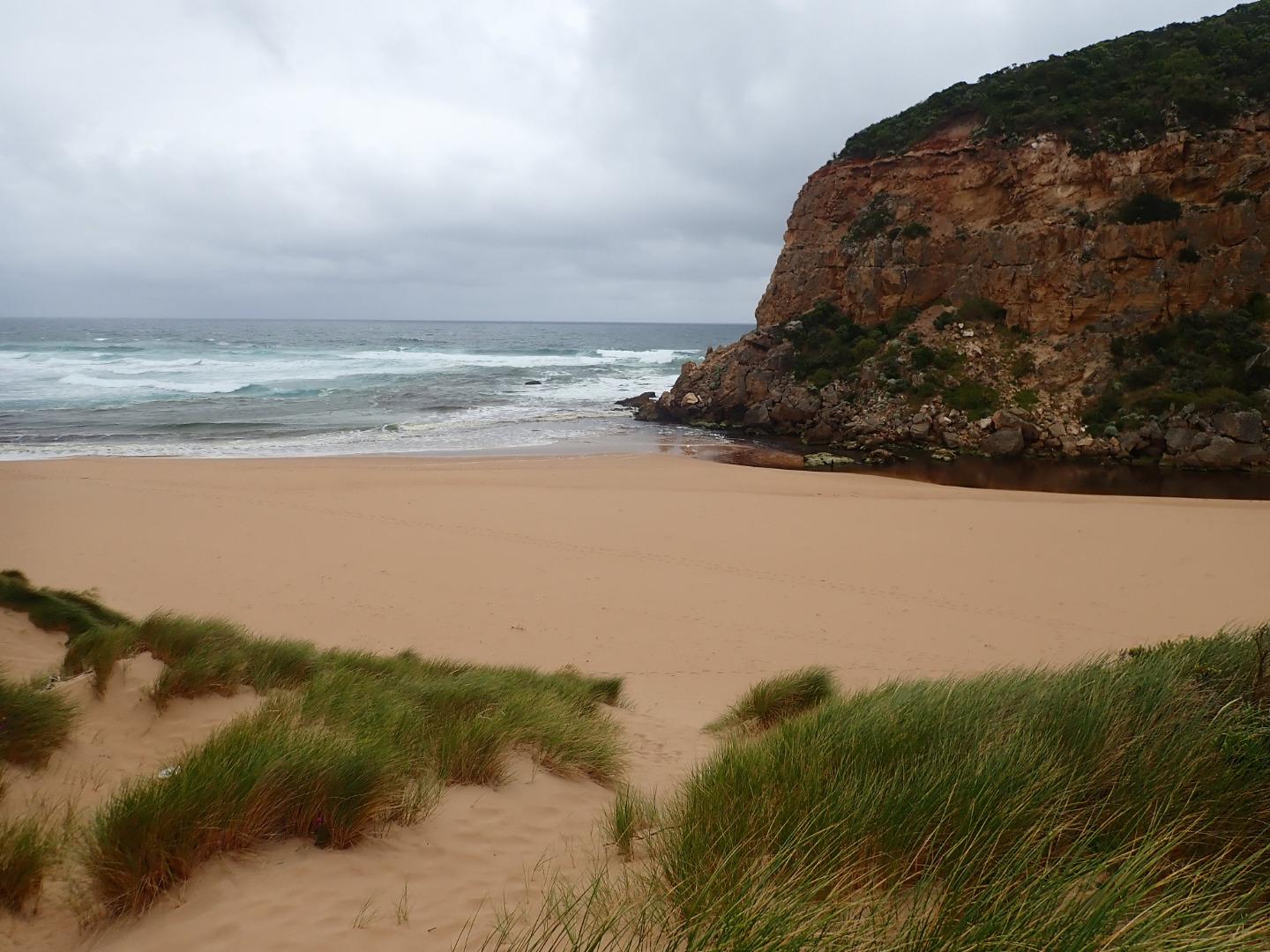
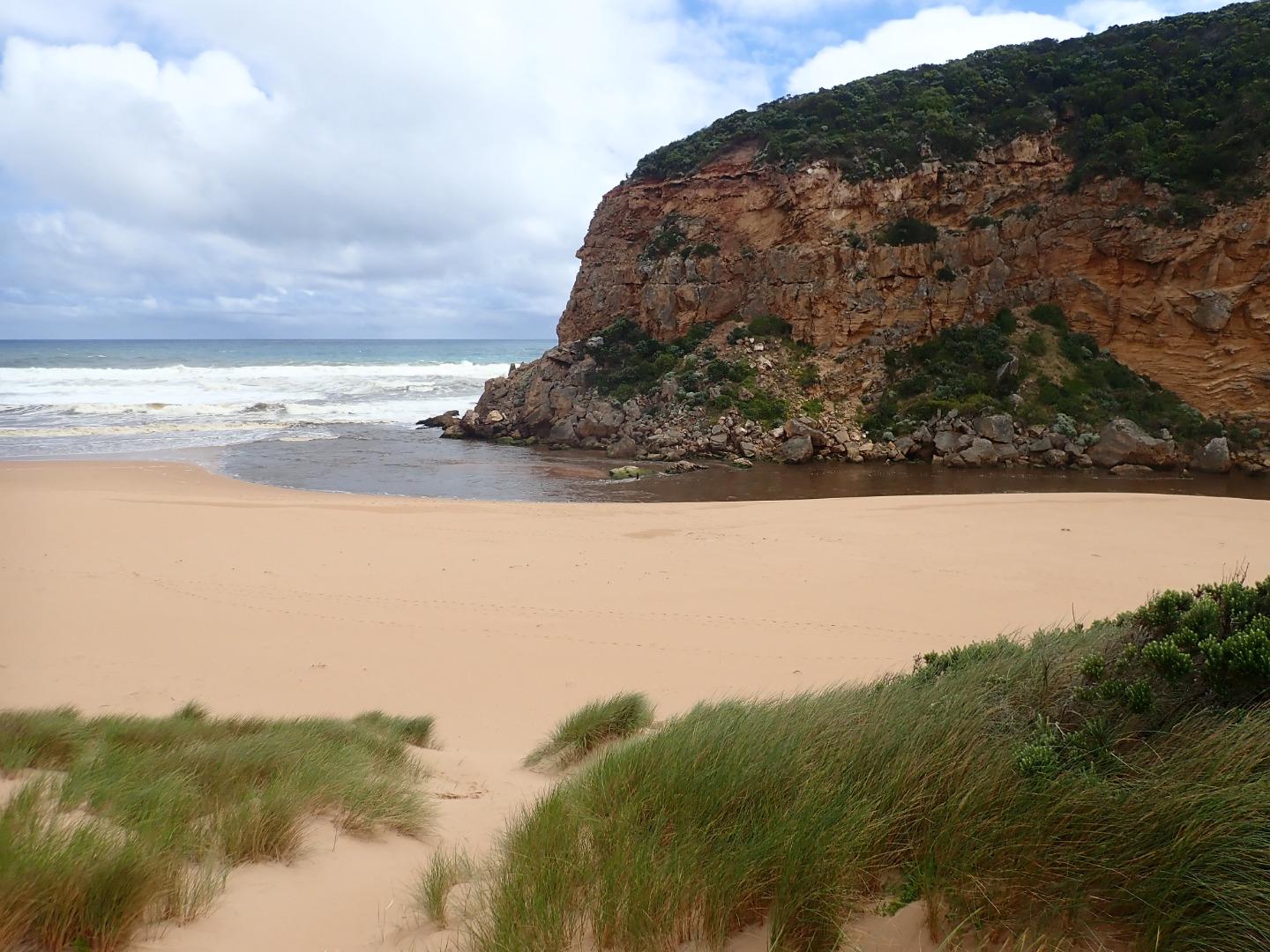
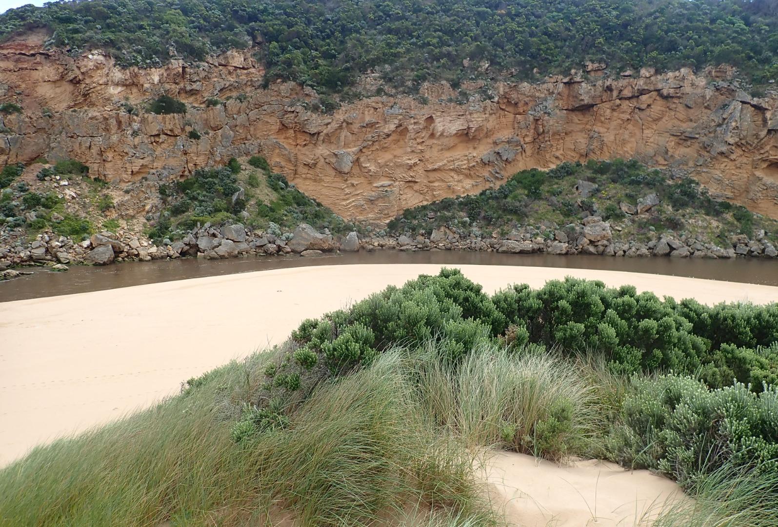
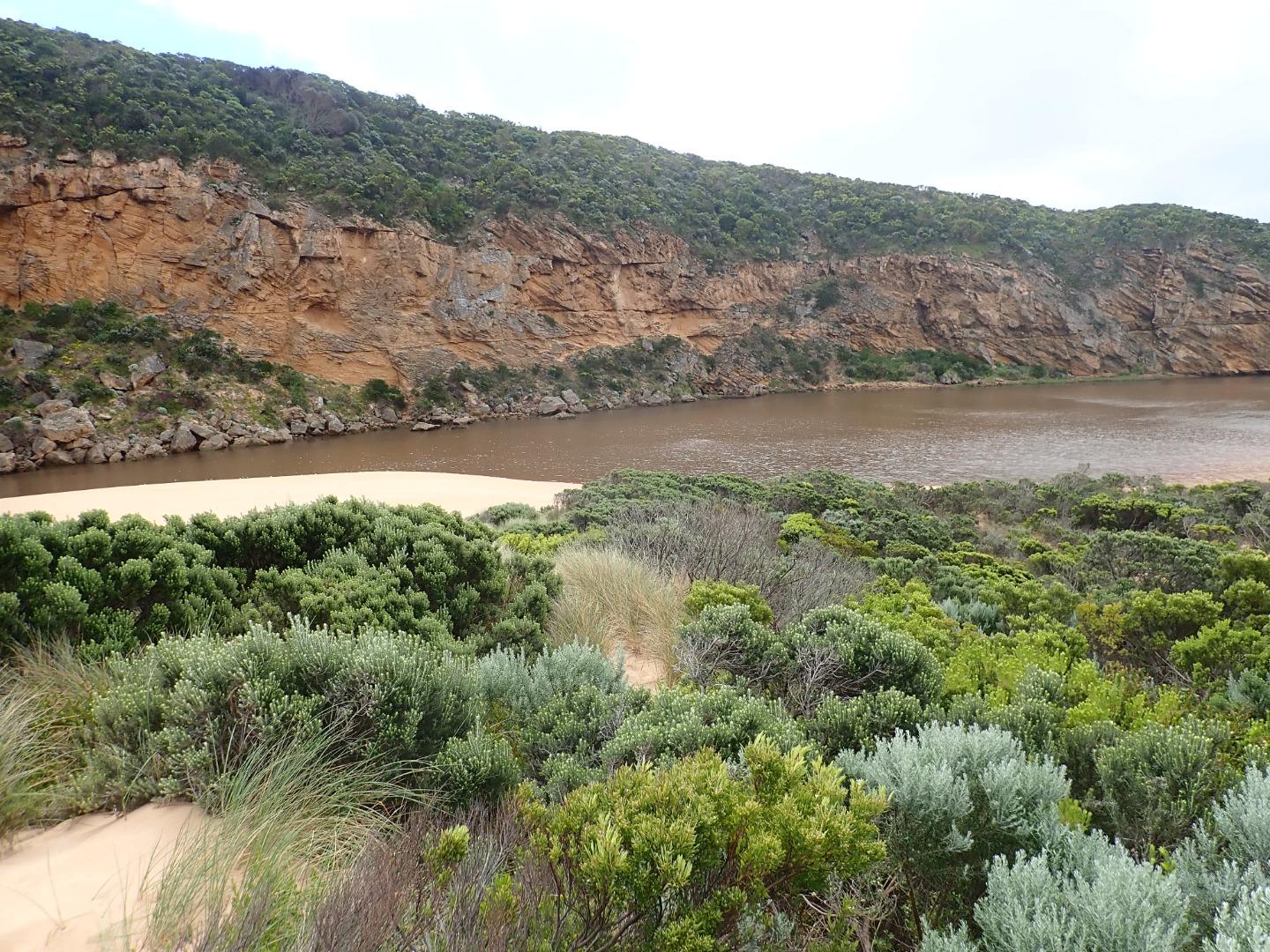
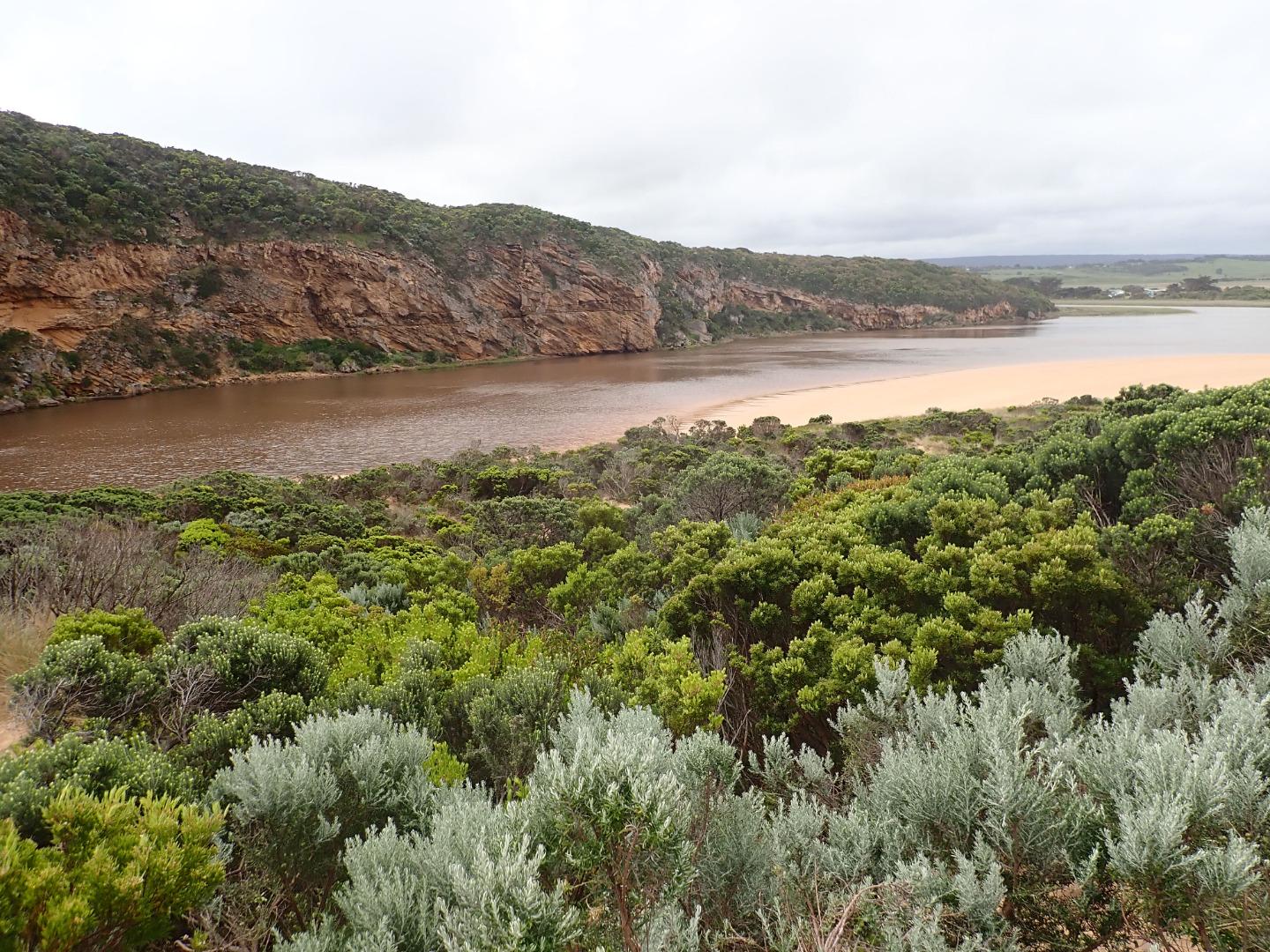
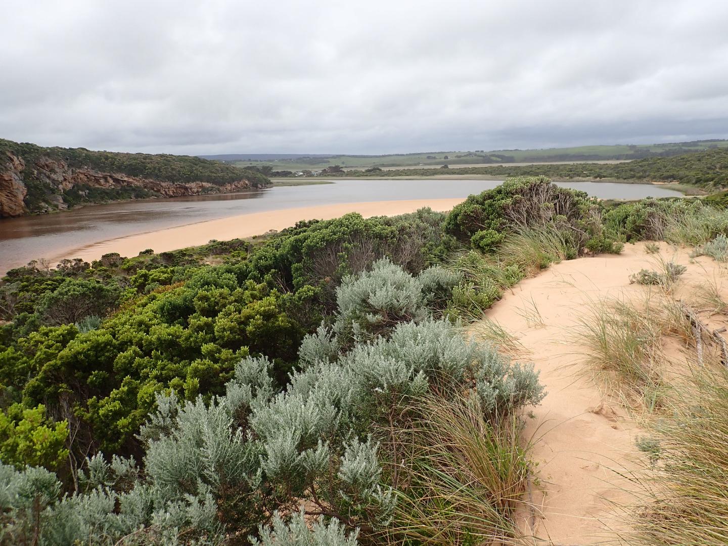
GMC Gellibrand River Estuary Mouth Observation Site
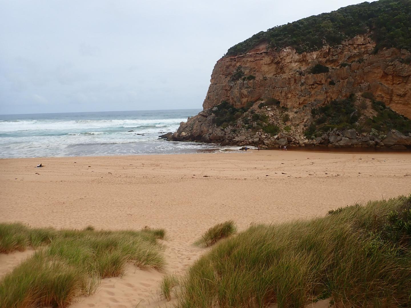
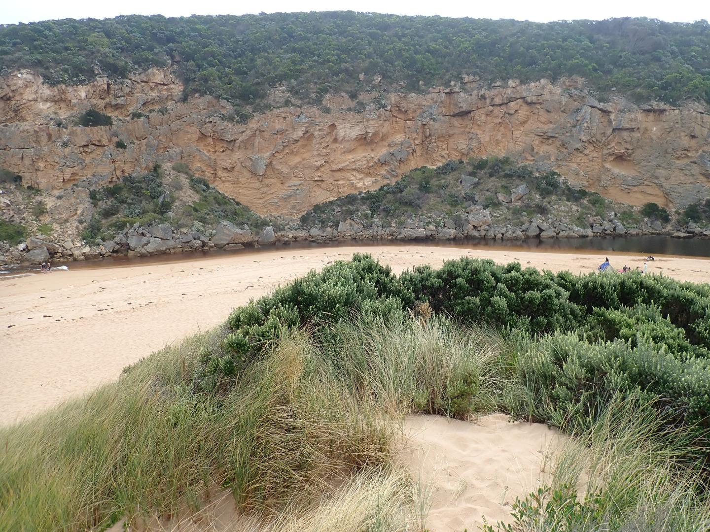
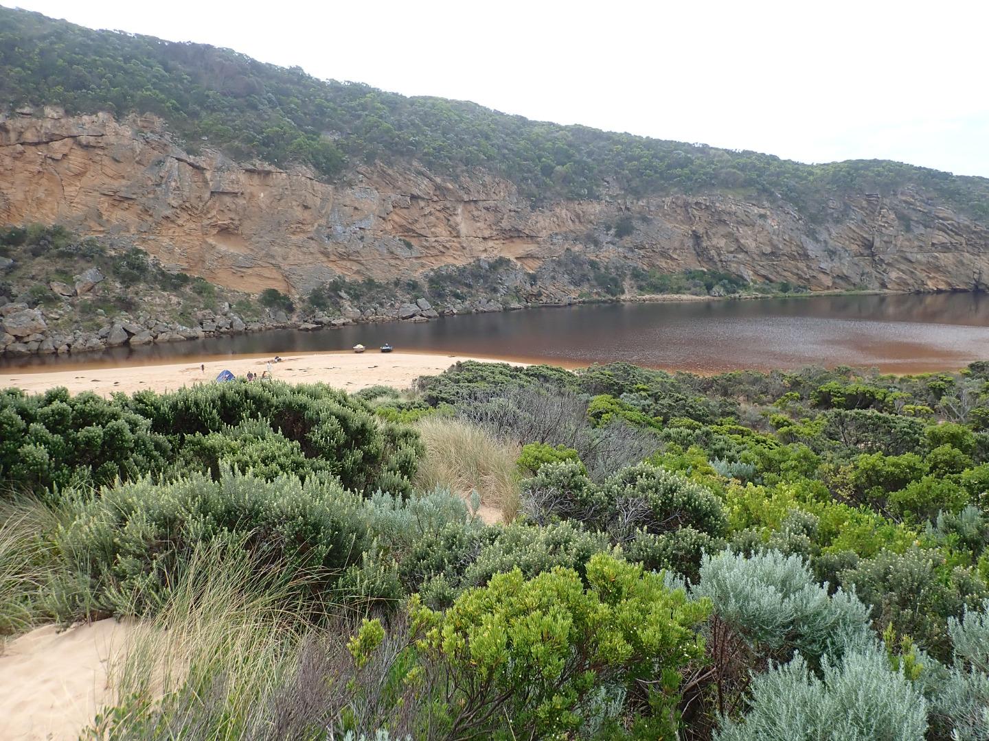
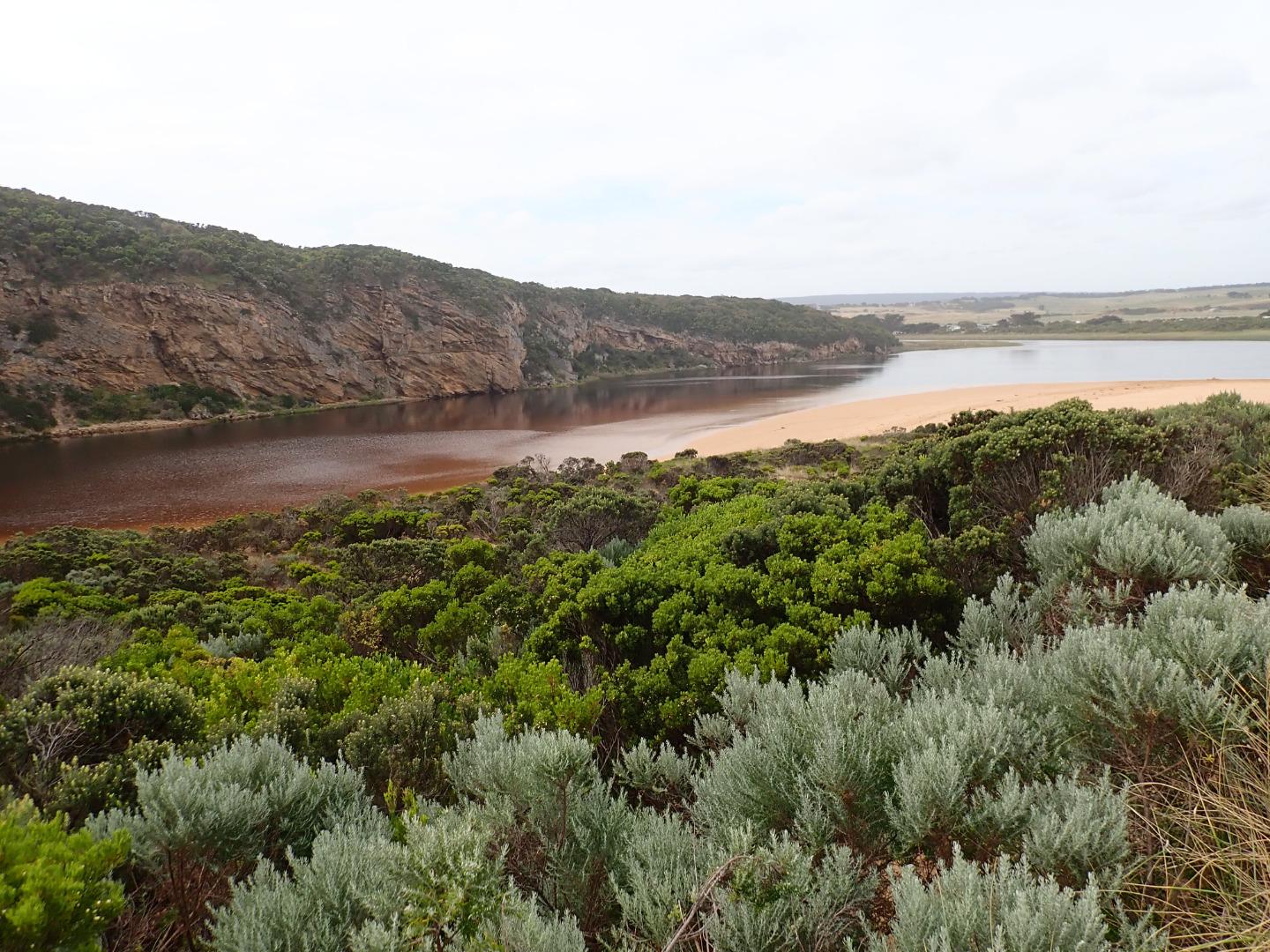
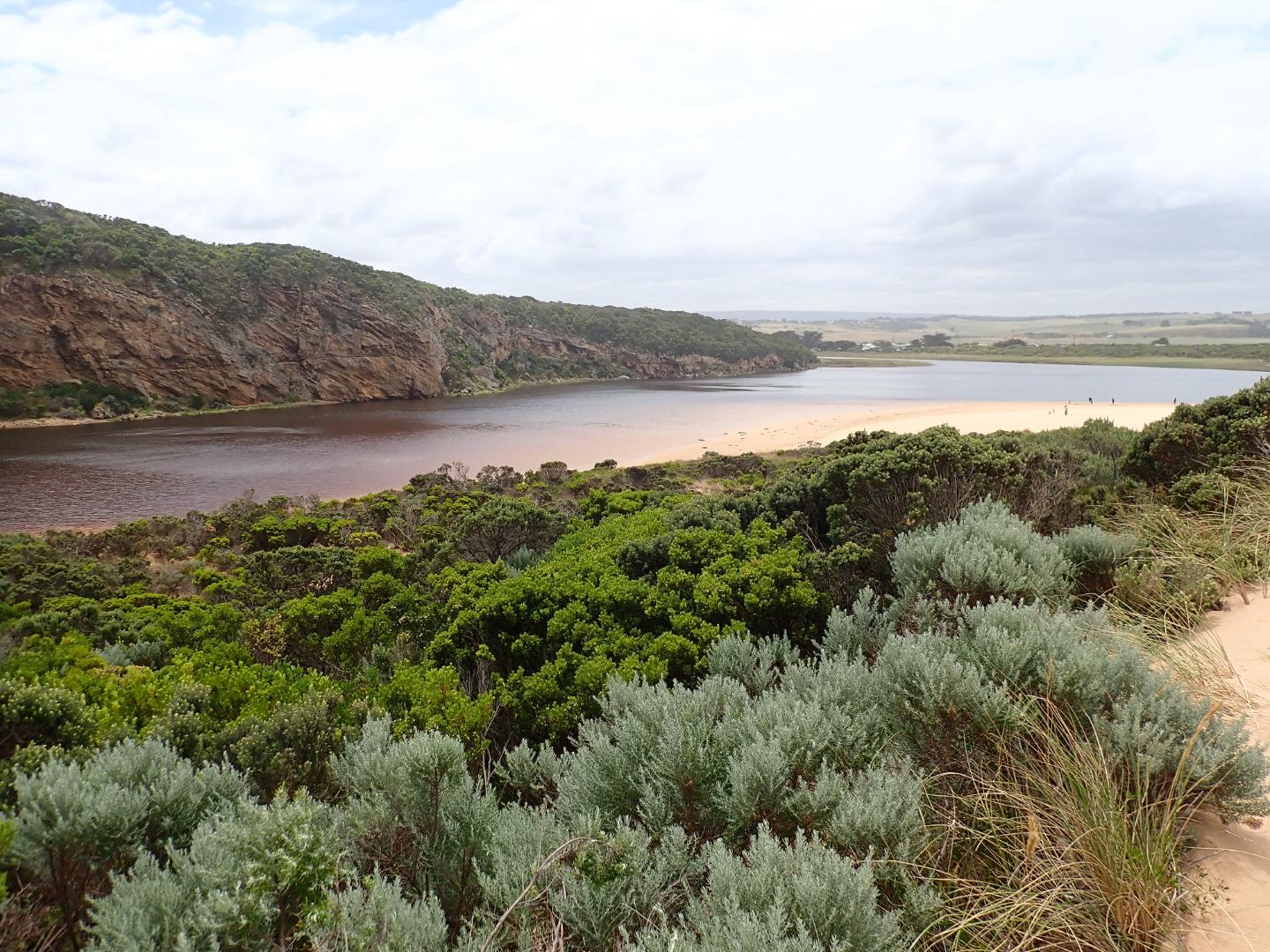
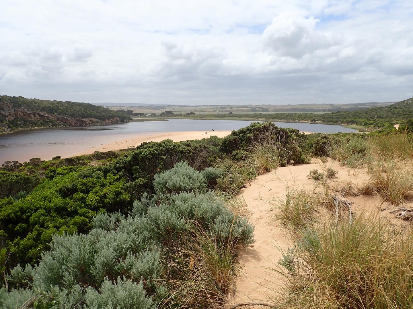
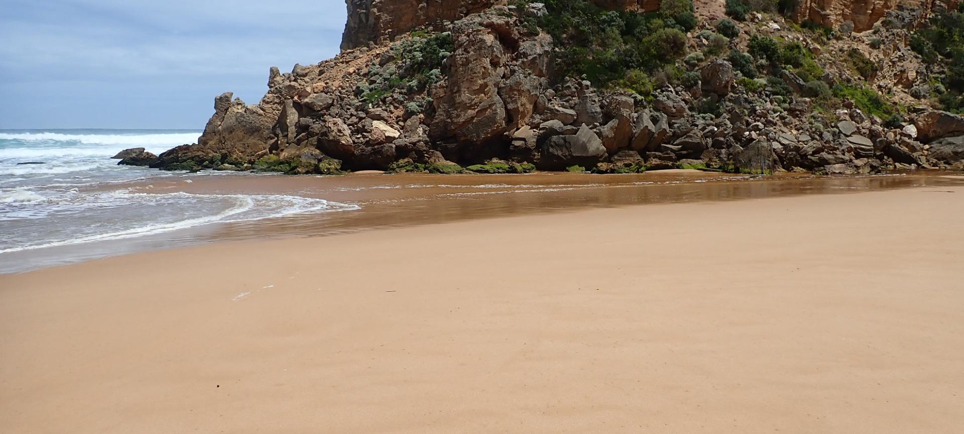
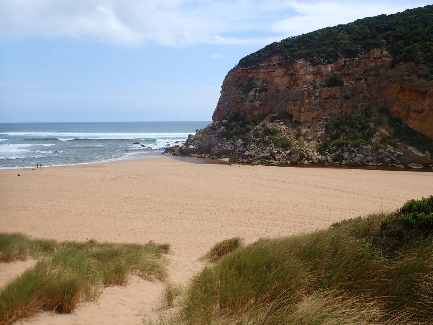
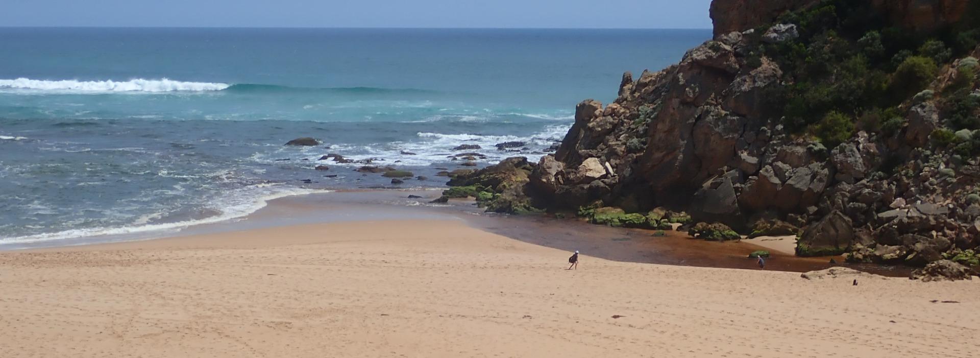
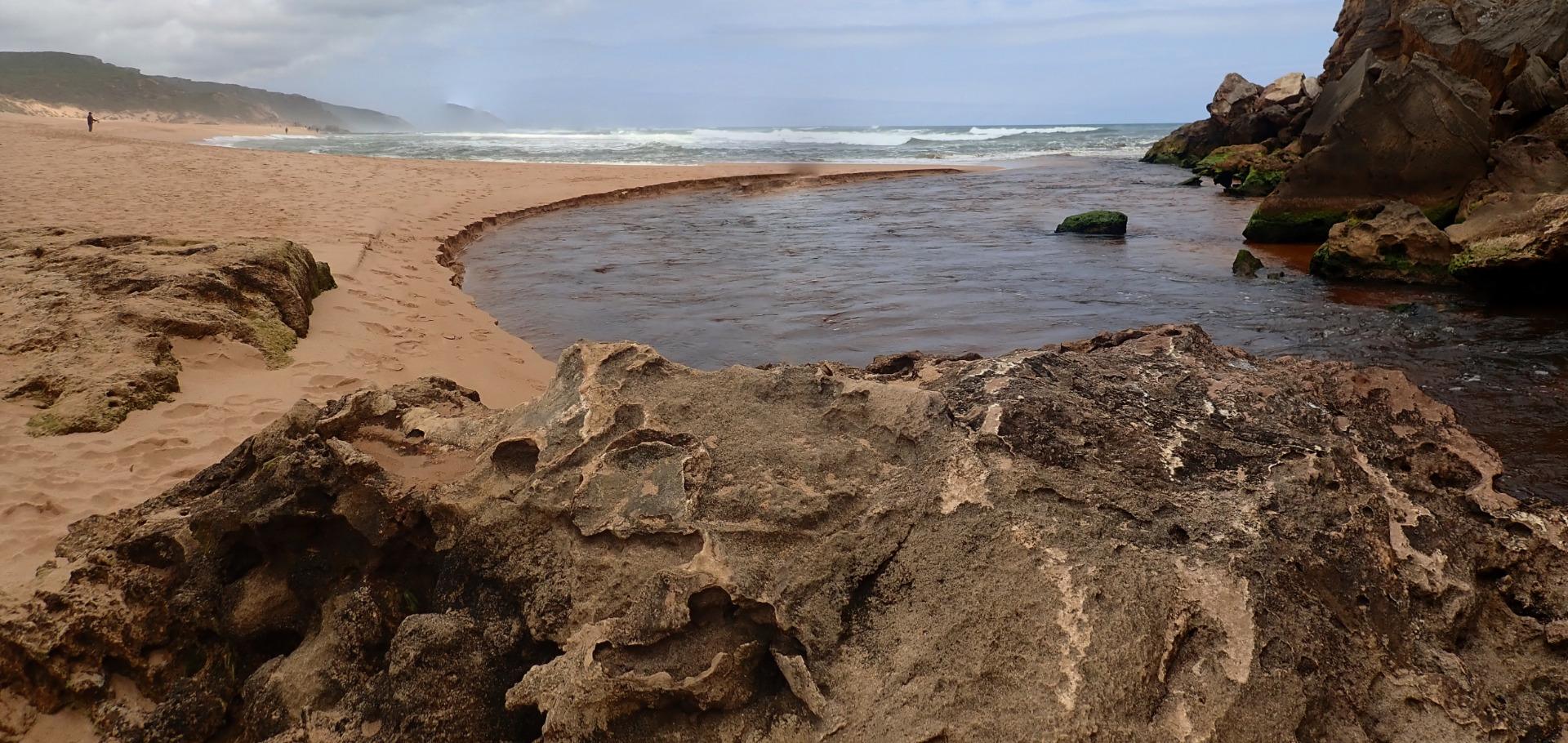
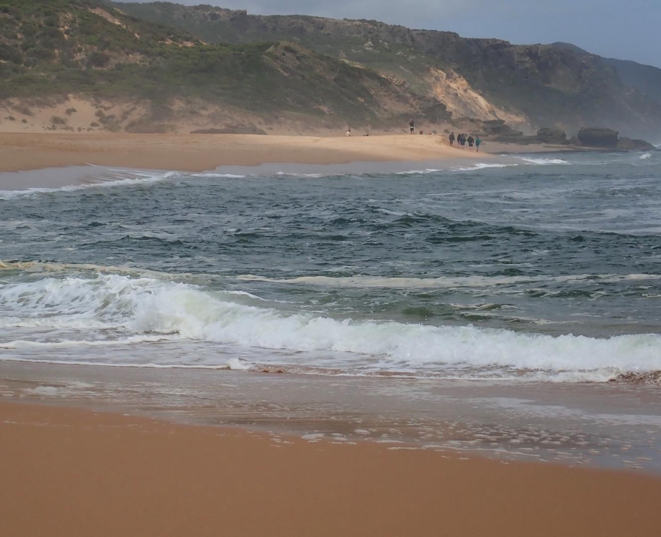
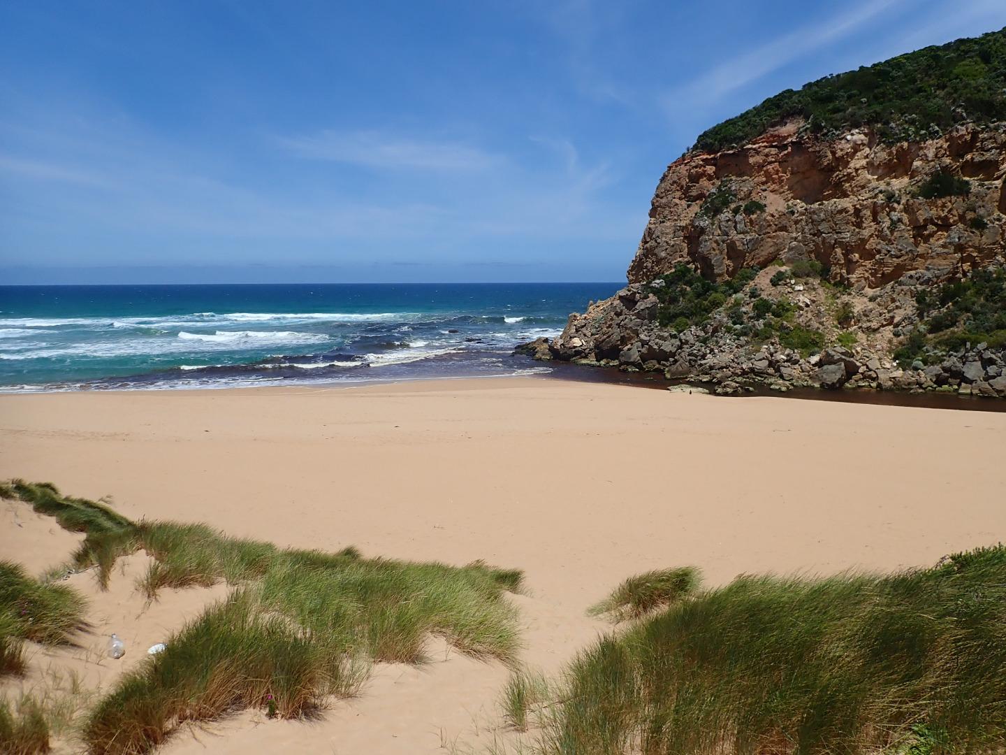
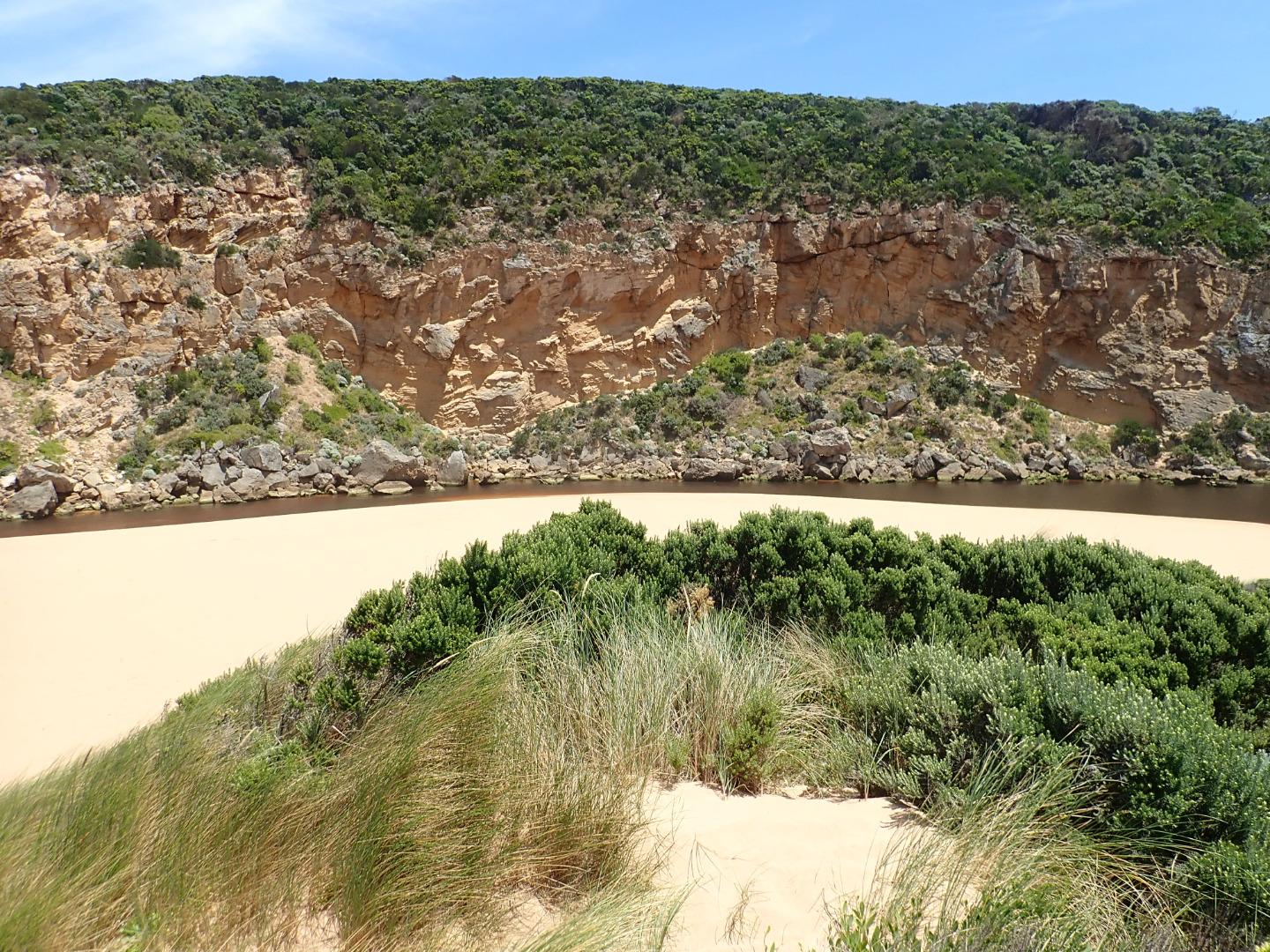
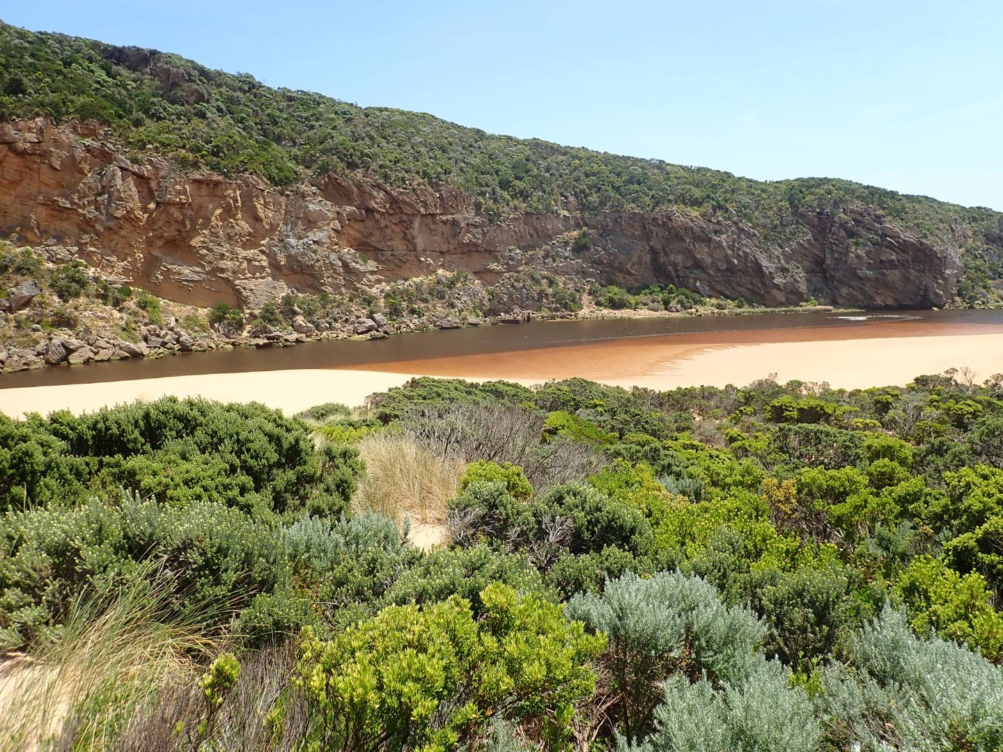
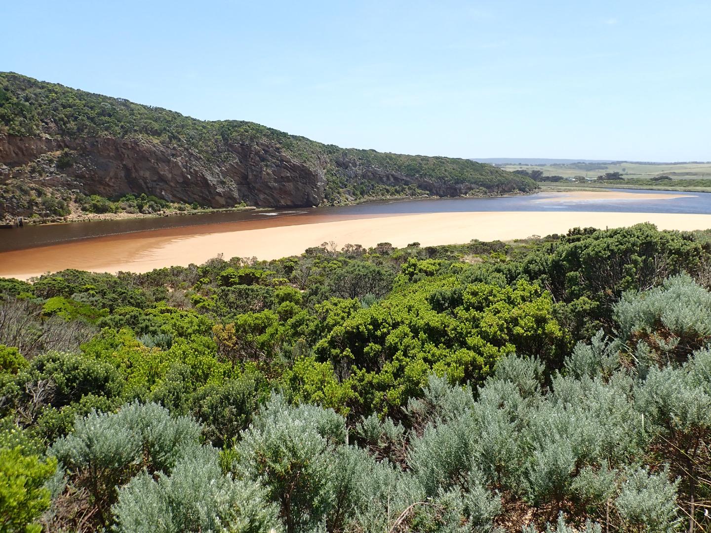
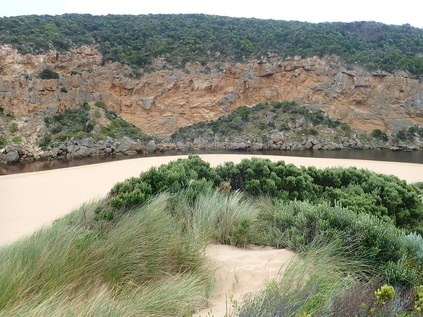
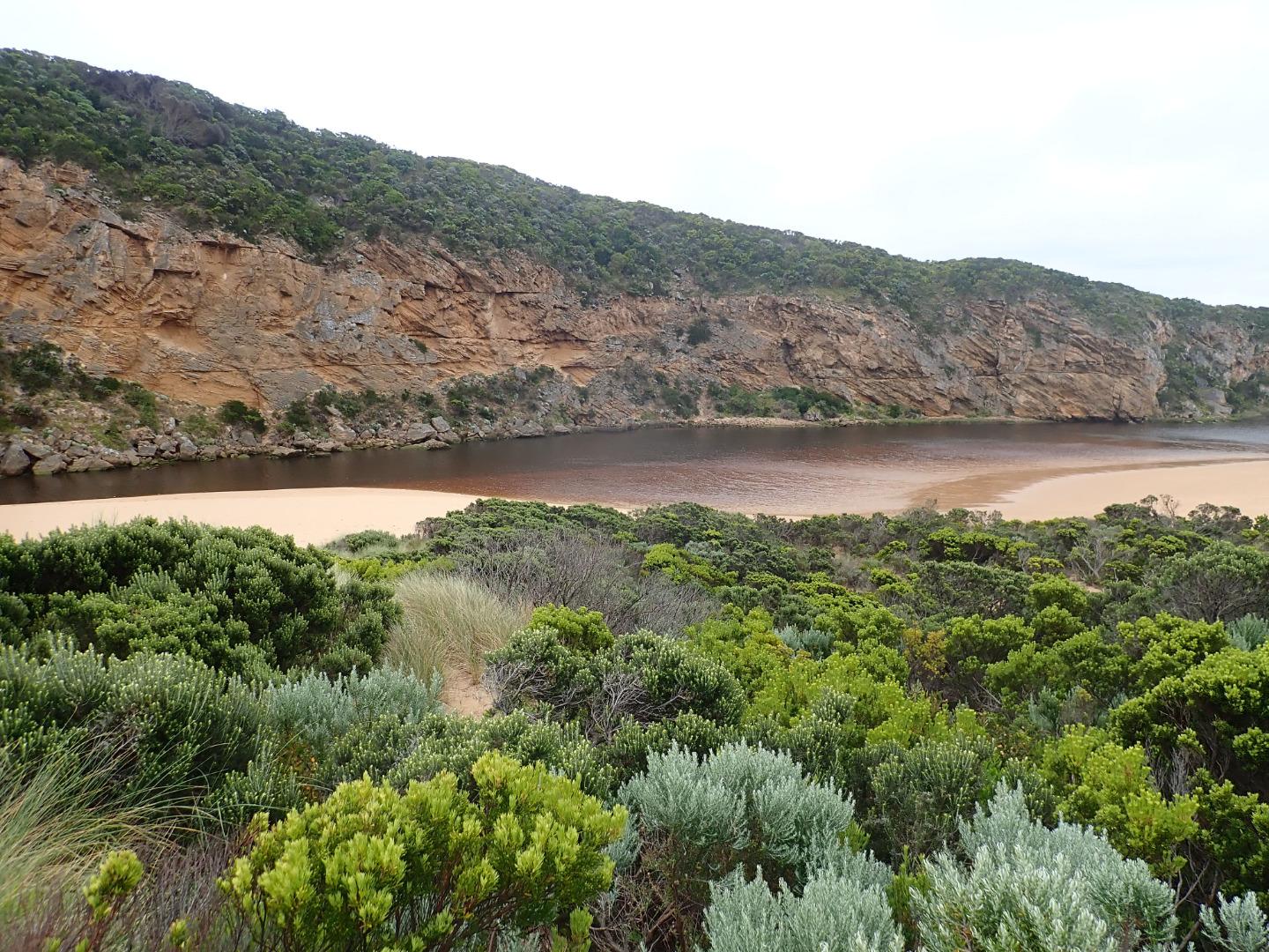
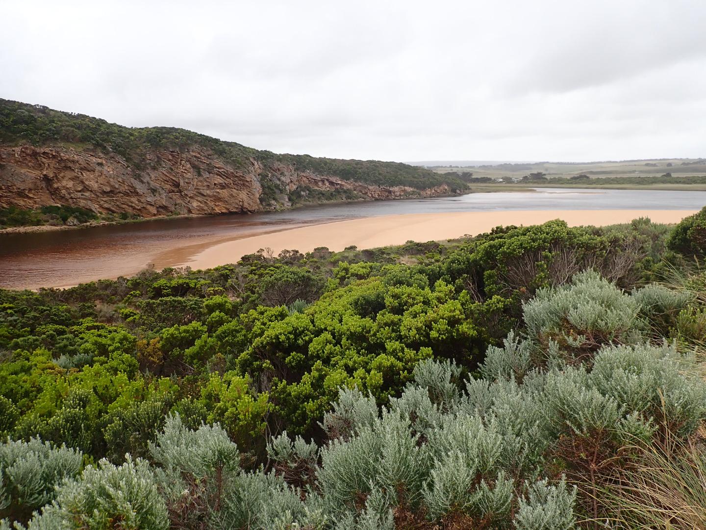
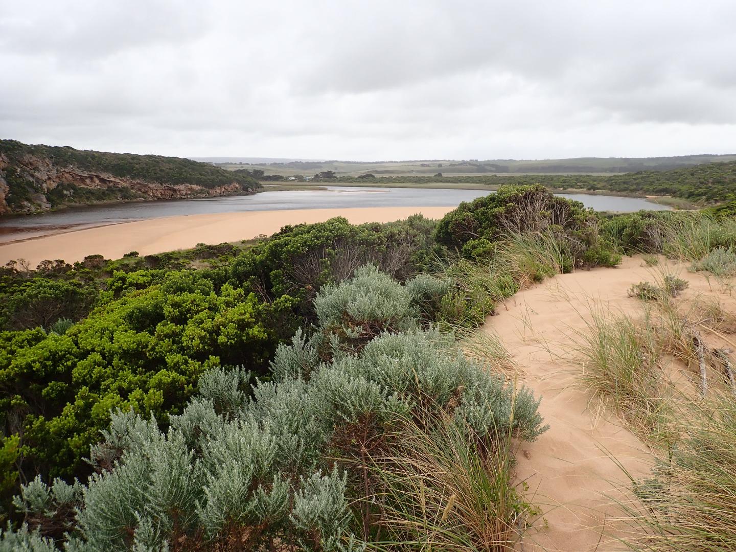
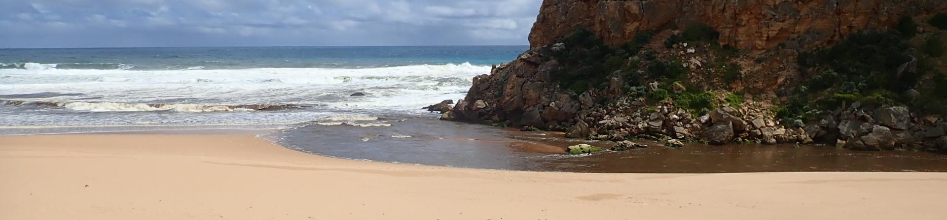
Active Mouth Condition 20-04-2007 - 19-04-2024Gellibrand River Estuary
| ID | Date | Status | Details | |
|---|---|---|---|---|
| #13606 | 11 Feb 2020 | Approved |
Notes:
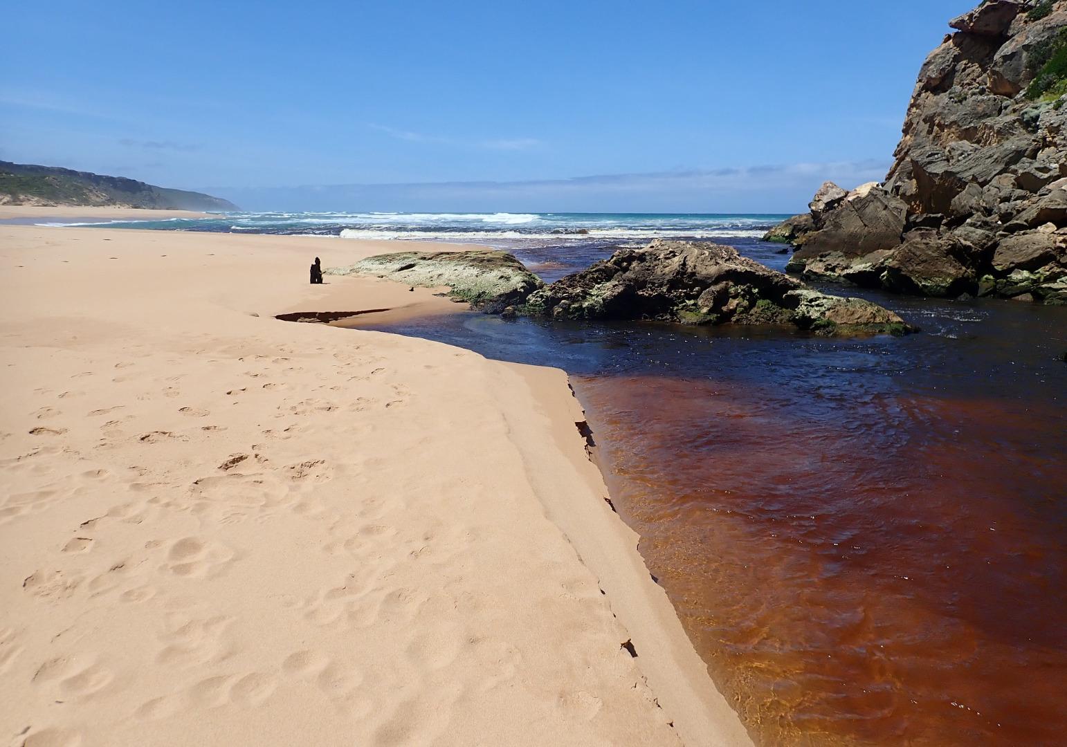
Fast flow out from receding tide & reduced wave height. Slight discharge to east. Mid beach highest area -undulating to east end. Depression between beach front & dunes remains.Waves have been travelling down this area & entering river channel on both sides of rocks (confirmed by swash line) Heavy wet fog with poor visibility Large patches of seagrass & algae along SE & E side of lagoon. Large areas of algae forming in Latrobe creek wetlands 1 dead flounder near river channel -stranded 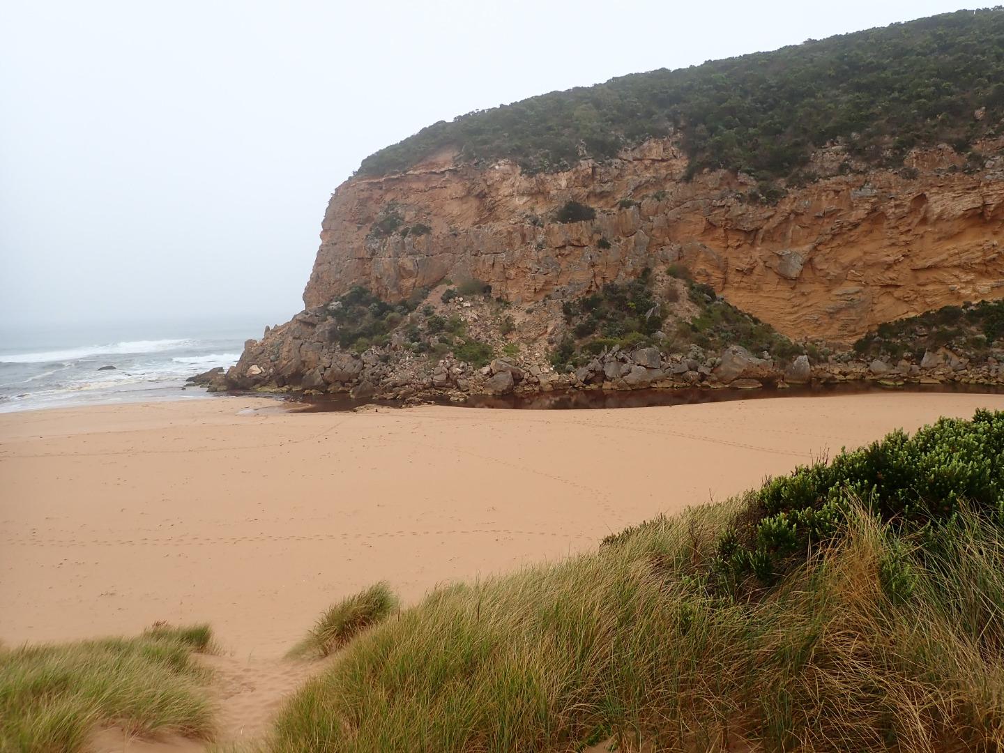 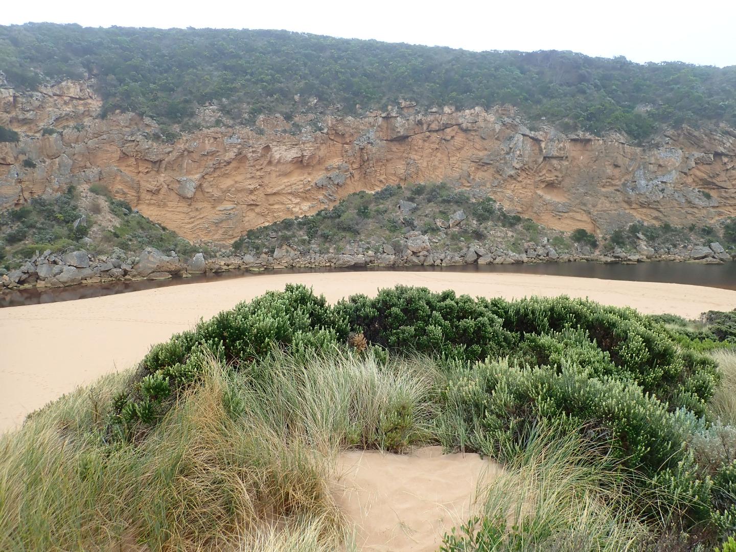 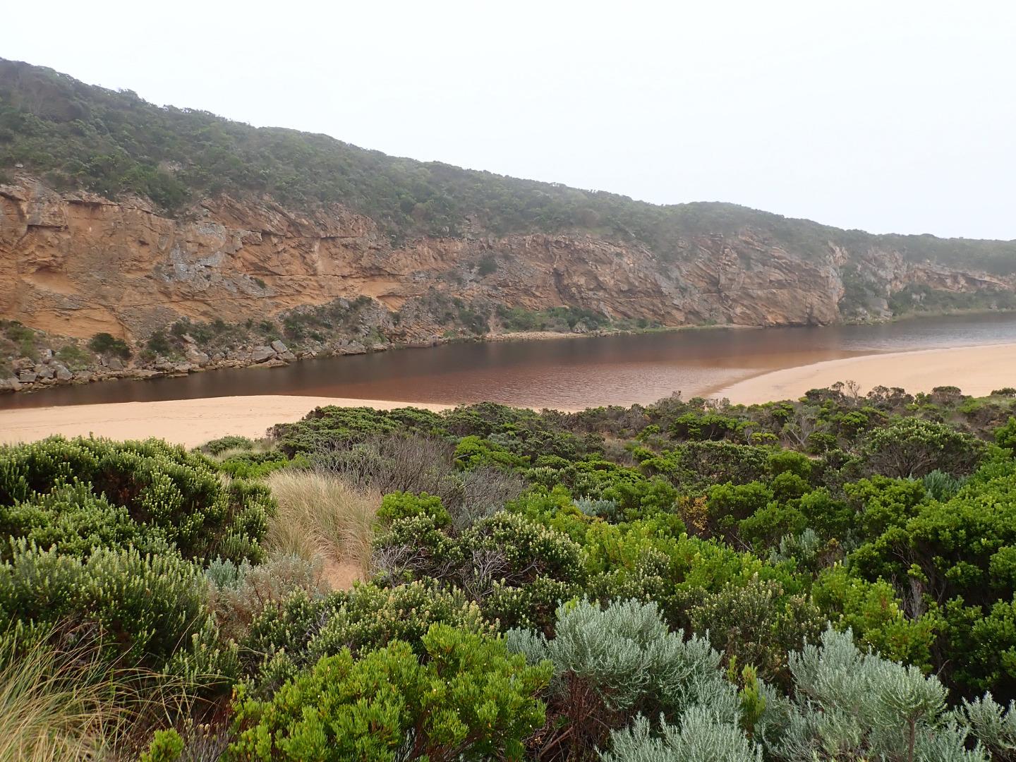 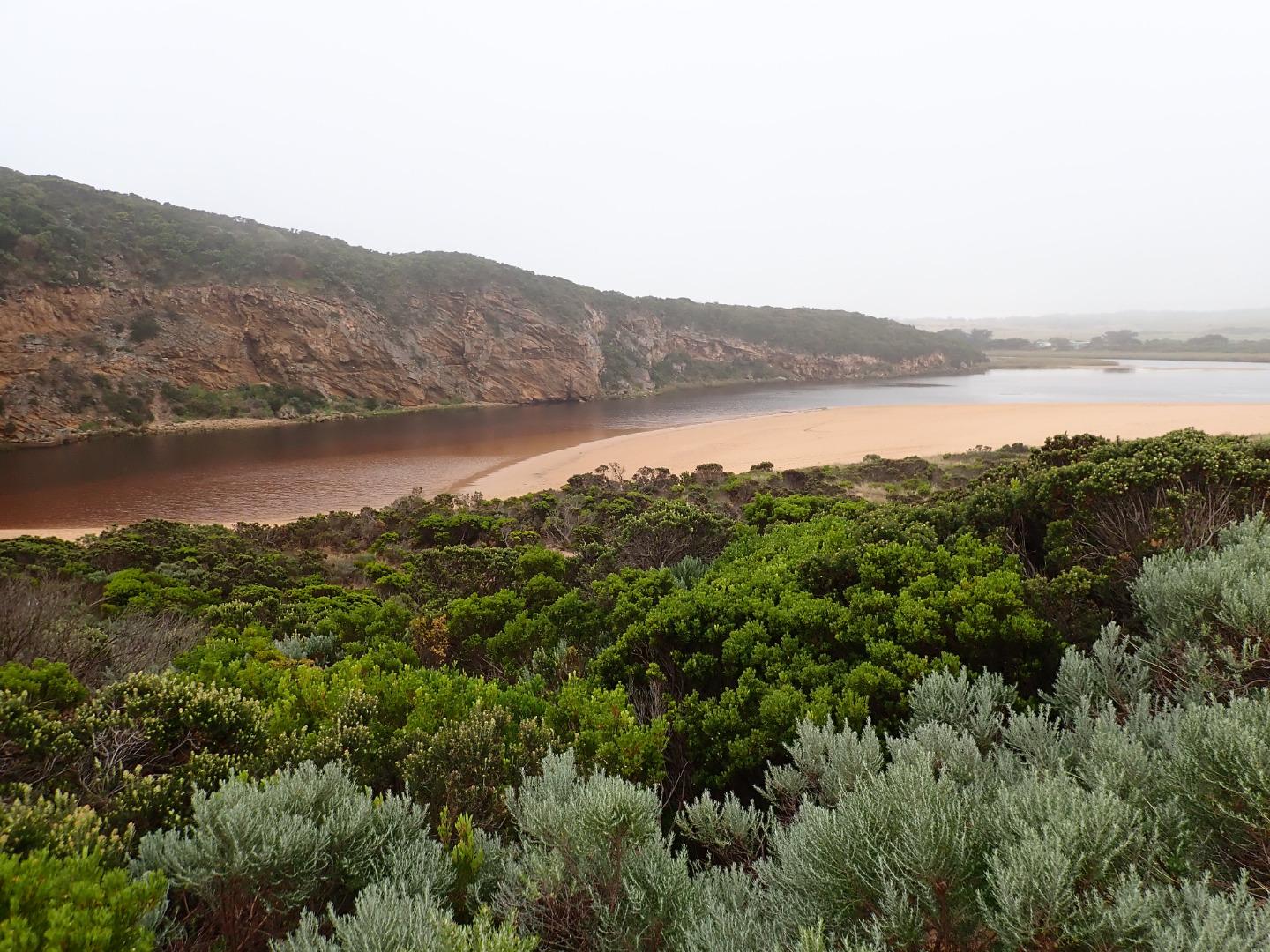 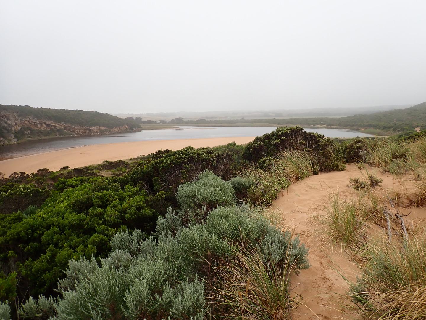 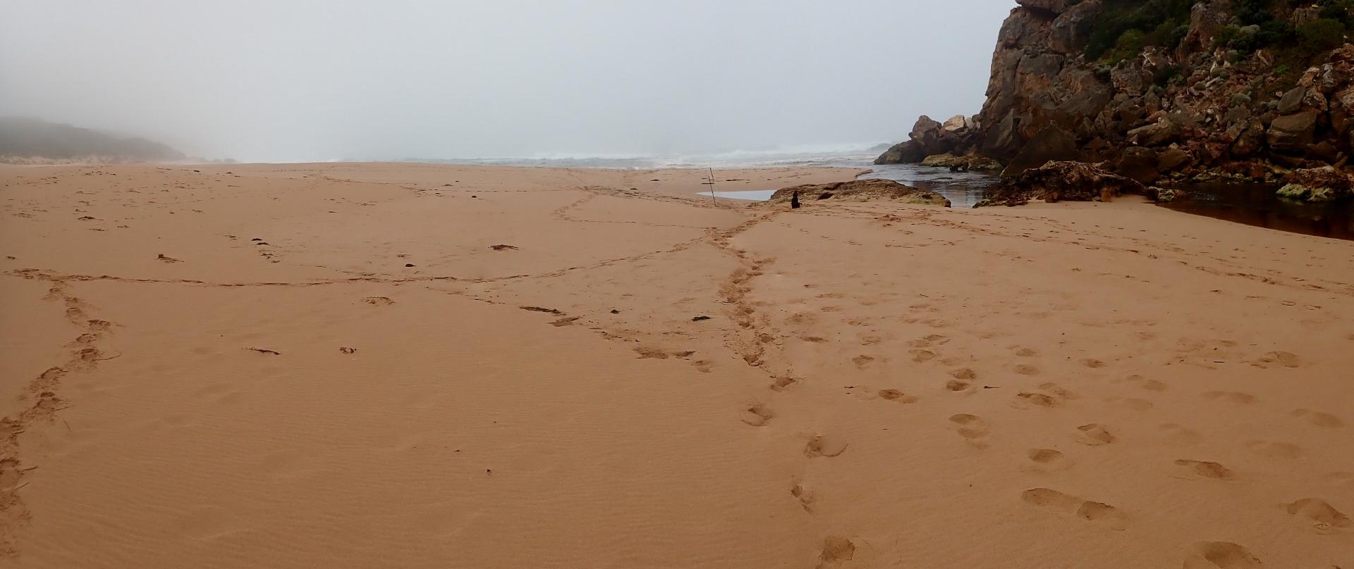 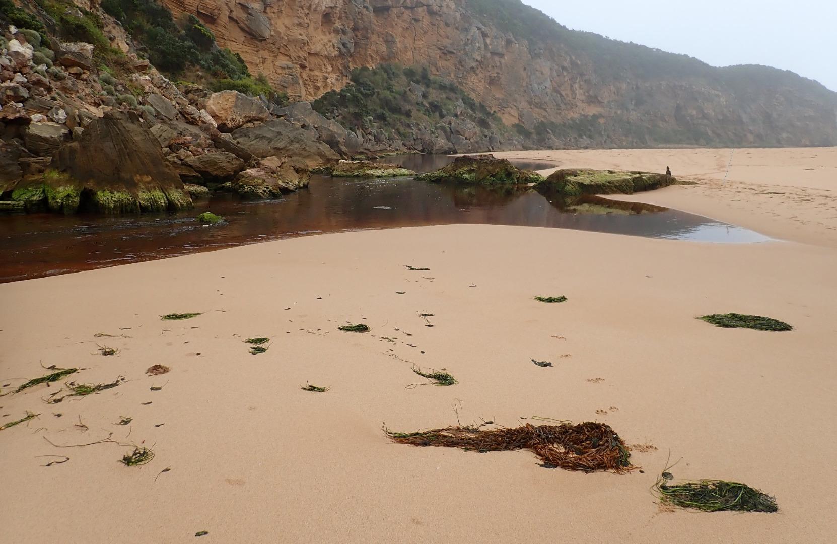 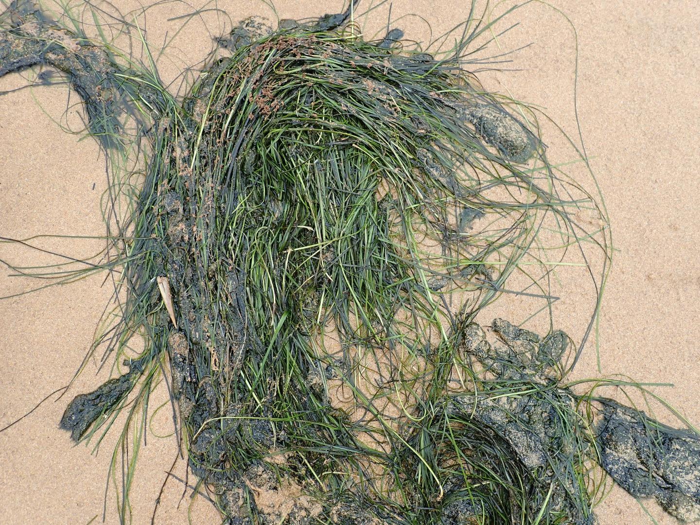 |
|
| #13552 | 27 Jan 2020 | Approved |
Notes:
Strong longshore drift meeting outflow & incoming SW swell =large waves across entrance with some covering rocks & going up channel into lagoon. Overtopping waves at east end of beach have created a wide depression between beach front & dunes. Tidal range for 27-01-2020 was between 1.13 @ 02:33 & 0.17 @ 19:57 |
|
| #13551 | 24 Jan 2020 | Approved |
Notes:
Very shallow outflow out over increased sand build up at entrance & along channel. Very rough sea with occasional very high waves creating back wash & strong longshore drift which meets incoming SW swell & slight outflow = some small waves entering along east side of channel. Beach front very high at east end of beach but over topping waves have made a very large pool in the wide lower area between it & the dunes, this wide area extends west towards entrance. Bittern was sighted near flood markers on Old Ocean Road on 19-01-20 (Mark Cuthell) |
|
| #13512 | 17 Jan 2020 | Approved |
Notes:
Very pale discharge out only around the mouth. Increased sand build up at entrance & along channel. Flow very shallow & narrow except where it becomes very wide downstream of rocks. Occasional long shore drift across entrance & some small waves entering & travelling along east side of channel into lagoon Very large no. of small 2-3 cm. fish + a few larger ones in shallow water along east side of lagoon 16-01-20- extremely thin dead Petrel washed up on ocean beach  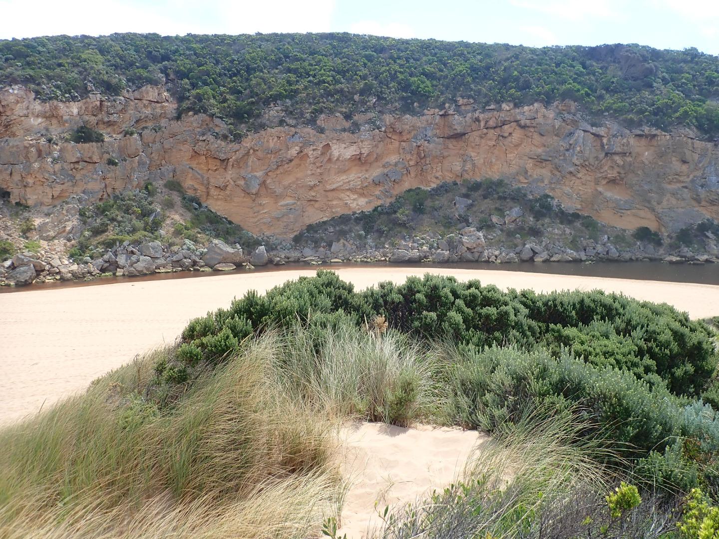  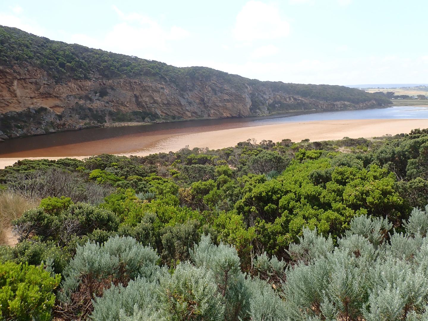 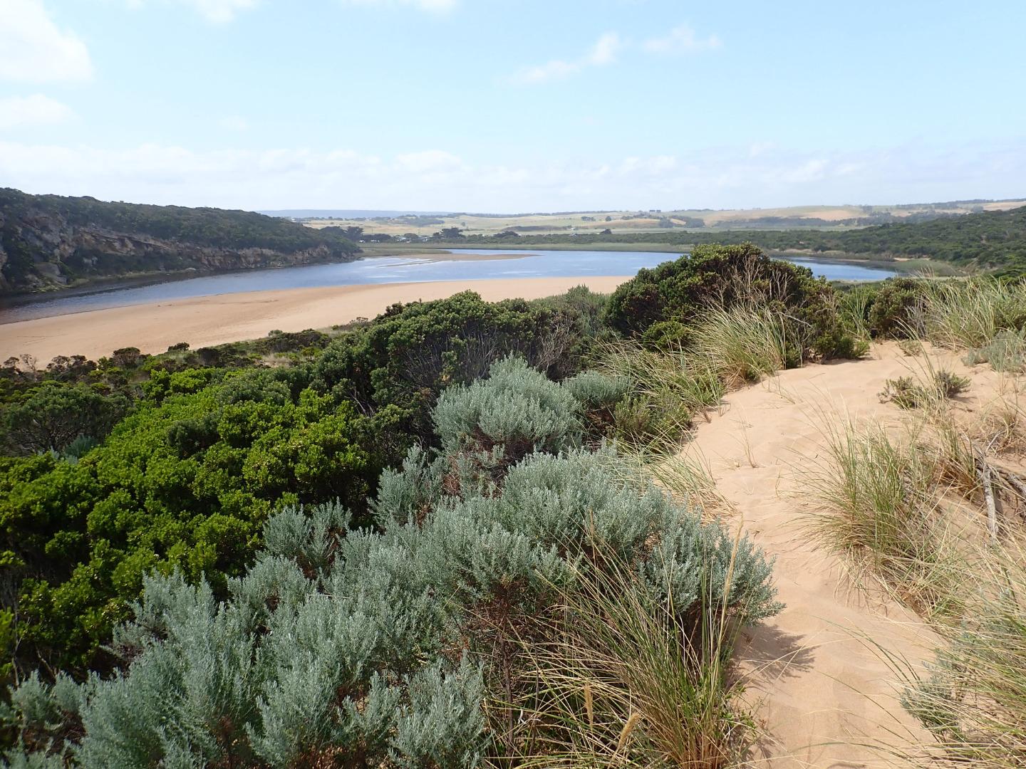 |
|
| #13494 | 7 Jan 2020 | Approved |
Notes:
AHD board @ G6 covered with silt -unreadable Very pale narrow, shallow outflow curving to east out over high sand build up. Waves & longshore drift impacting across entrance. Large amount of sand visible moving in flow down channel. Sand bar exposed also very large sand area projecting into lagoon south side of lagoon. Edge of channel directly downstream of rocks has sheer east side Sand high & projecting out to sea @ mid beach & continuing on to east end. Waves have overtopped beach front in this area & run down shallow channel in sand towards entrance |
|
| #13468 | 19 Dec 2019 | Approved |
Notes:
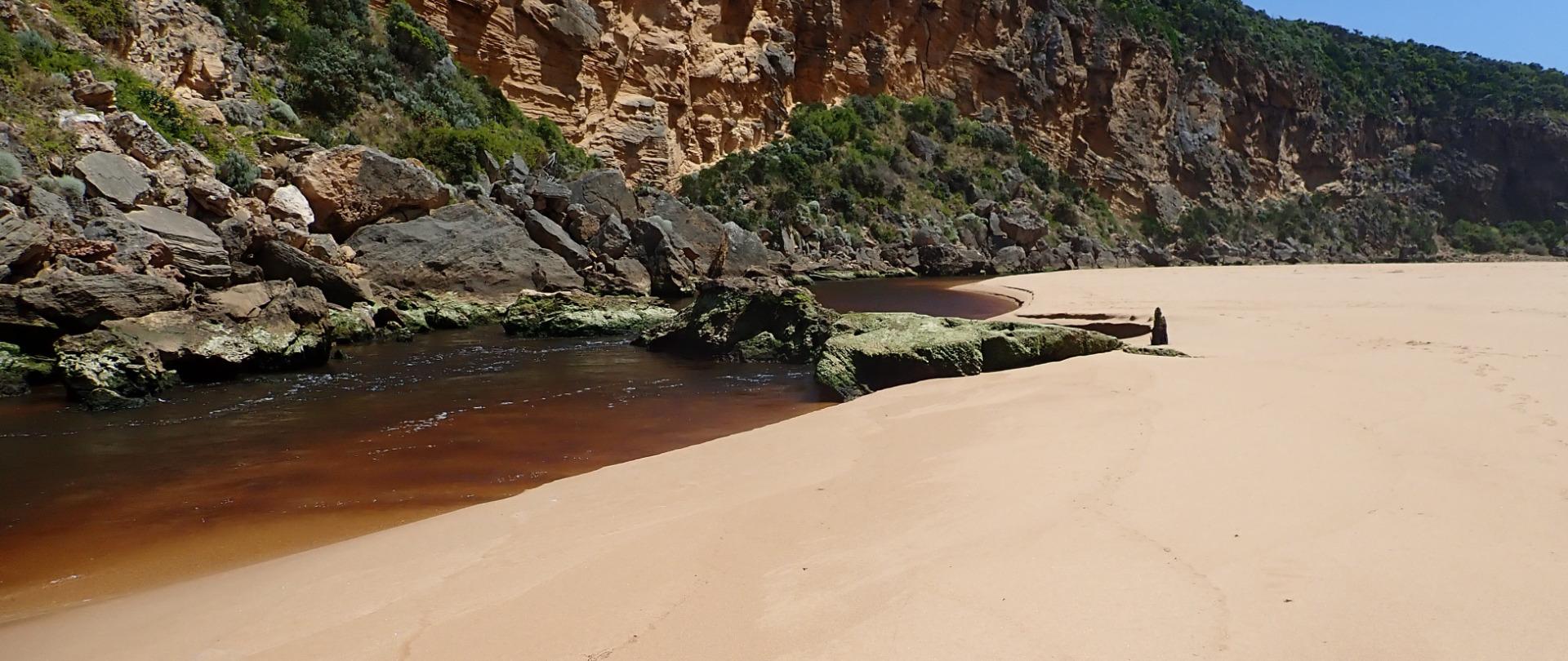
AHD board @ G6 covered with thick silt -Unreadable Dark discharge flowing out over an increased height of sand buildup around mouth & to south. SW swell impacting on west side of sand projection mid beach creating backwash & longshore drift which is mixing with incoming swell causing small waves up to rocks then low against east side of channel continuing around & across front of large sand projection to SE corner of lagoon. Area east of 1st rock has been filled with sand & water only flowing through narrow gap between !st & 2nd rock with a larger area of flow against cliff. Very low tide has exposed large areas of sand on ocean beach & in lagoon where areas of algae occur along east side of lagoon. Algae is also covering areas of both west & north wetlands |
|
| #13453 | 13 Dec 2019 | Approved |
Notes:
AHD G2 0.50 AHD G6 1.00 @ 11:45 Outflow reducing - dark discharge only around entrance & south out to sea. Sand has built up in channel & at mouth. As a result of wave impact & recent short time swell times the beach has dramatically changed with very high /wide build up of sand projecting a long way out to sea from about 50m from entrance to east end.This build up has high front to sea & a large depression behind the front extending towards dunes. South west swell is impacting on start of projection & causing some longshore drift back to west across the mouth. The beach from the start of the projection to mouth is lower & has formed a bay |
|
| #13429 | 22 Nov 2019 | Approved |
Notes:
Dark discharge out mainly around the mouth -slight paler water along shoreline. SW /WSW swell = occasional longshore drift to mouth creating small waves along east side of channel into the lagoon. Mid beach has 2 high areas of sand the most easterly one projecting out to sea. Waves going over this have created a small area of retained salt water further up the beach. Beach is undulating N/S with depressions allowing waves to go further up on beach & scour out sand with backwash Sand on south side of lagoon well exposed extending far into lagoon. Separate sand bar closer to G2 is also exposed. The area on east side has a very large amount of green algae covering dying sea grass. Latrobe wetlands also has algae over most of the water 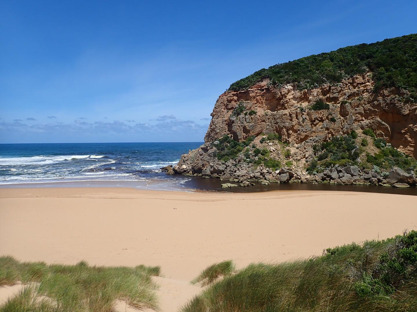 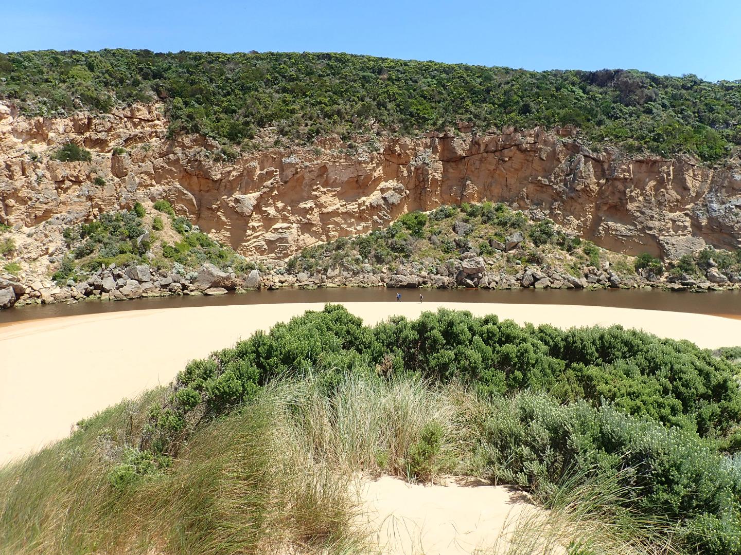 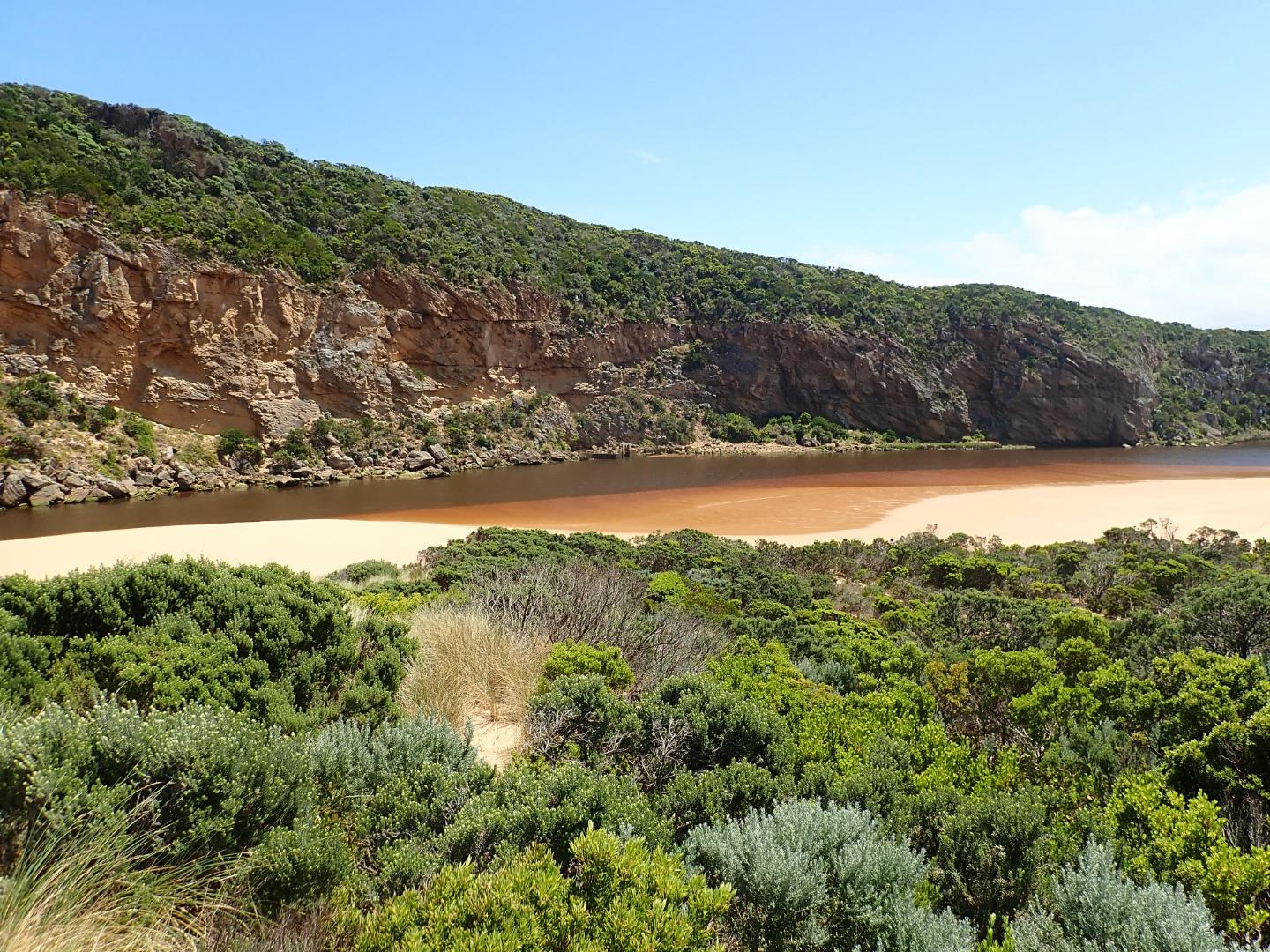 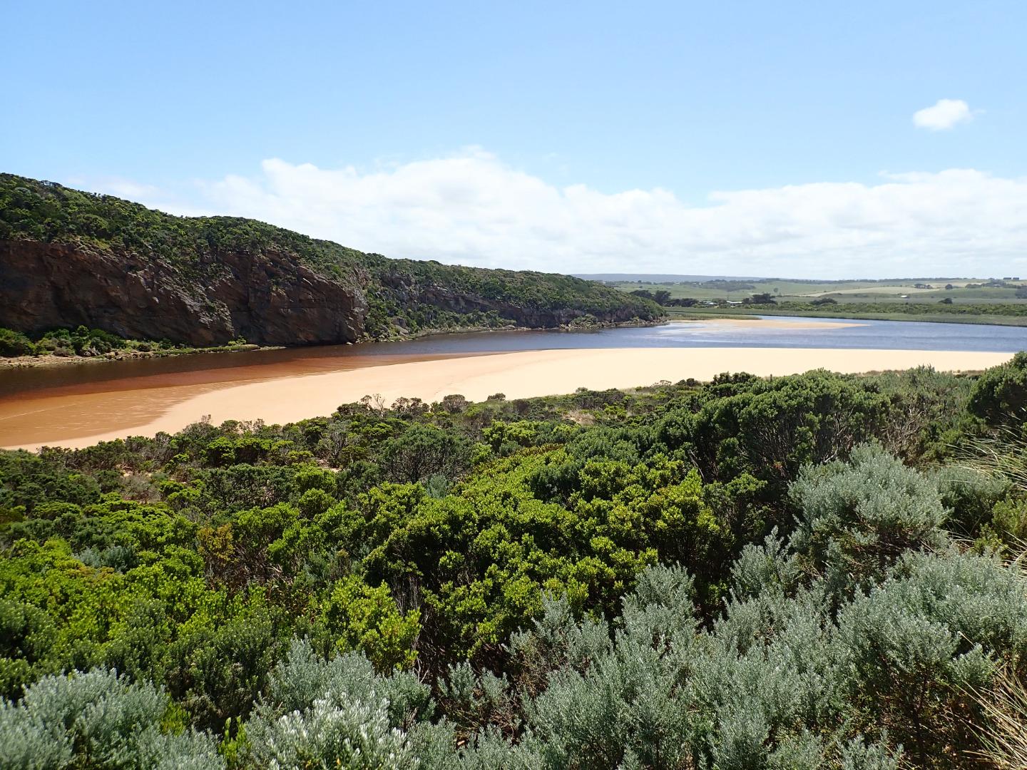 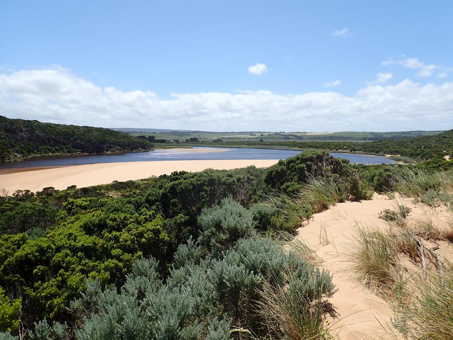 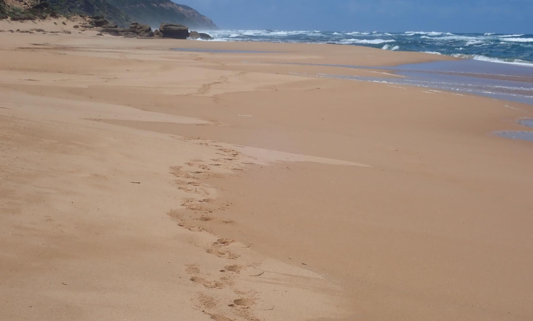 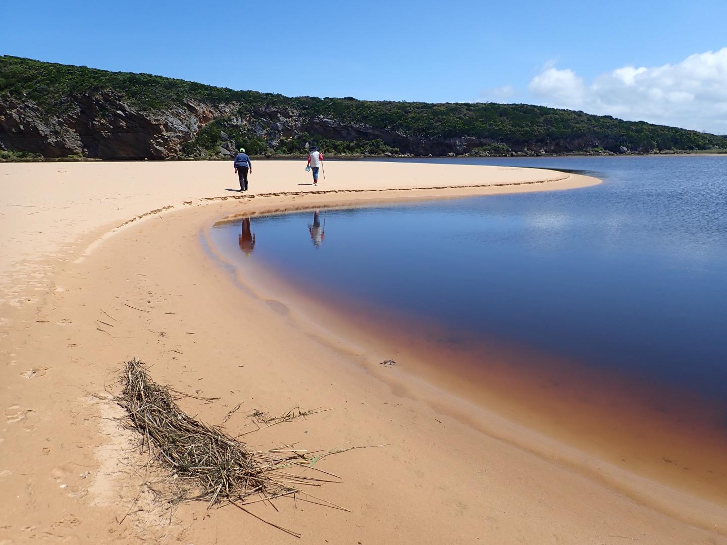 |
|
| #13408 | 13 Nov 2019 | Approved |
Notes:
AHD G6 2.64 @ 14:50 Dark discharge mainly around mouth, paler going east along foreshore.SW swell 14-13 sec impacting most of the beach except for around the mouth which is receiving the resulting longshore drift crossing & producing small waves down channel where sand being carried in outflow is visible. Beach has many wide deep north/south depressions caused by wave impact & backwash Very large area of sand extending north into lagoon but sand bar is not visible Extremely large number of Bluebottles in swash line all along beach 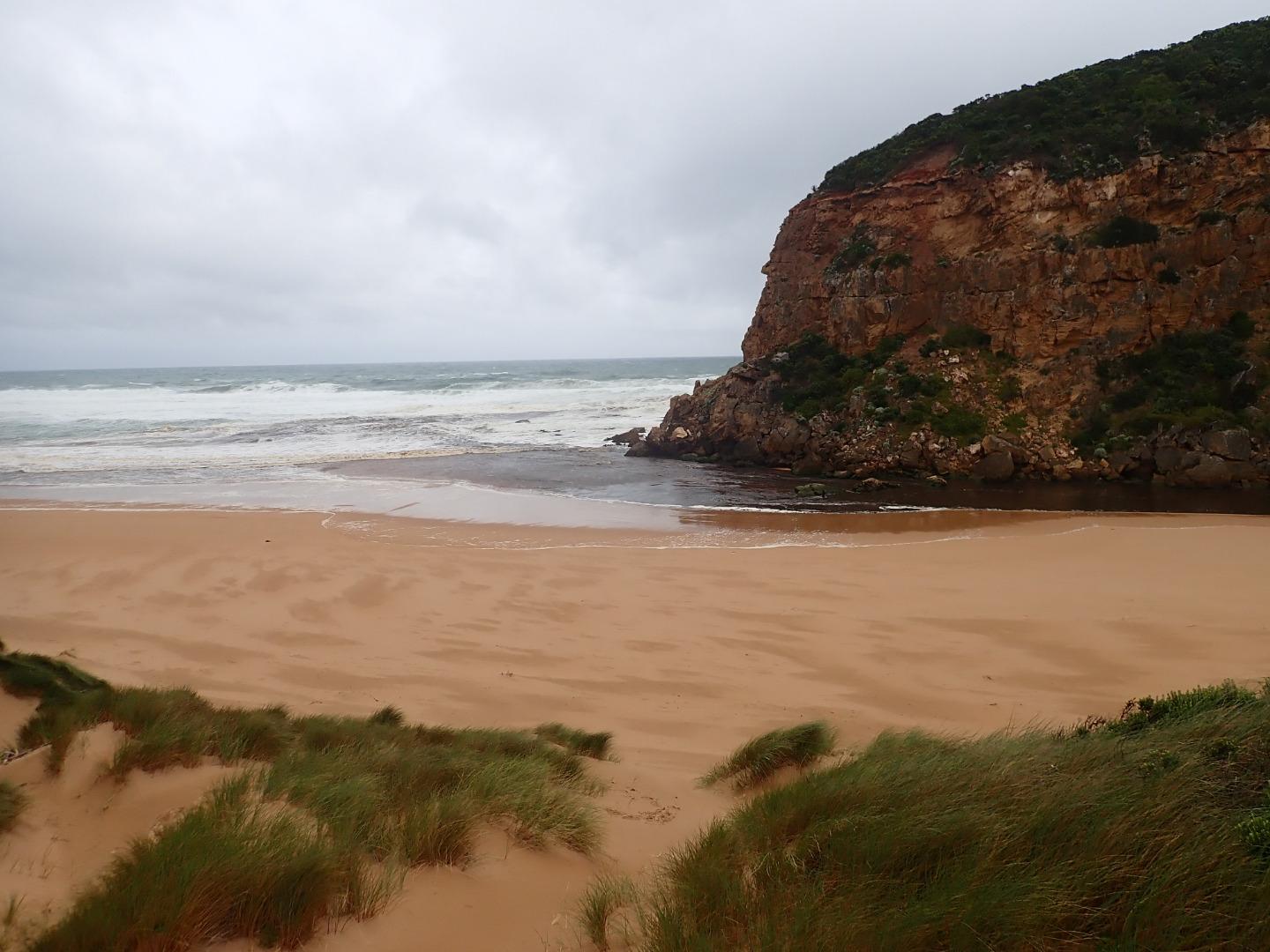 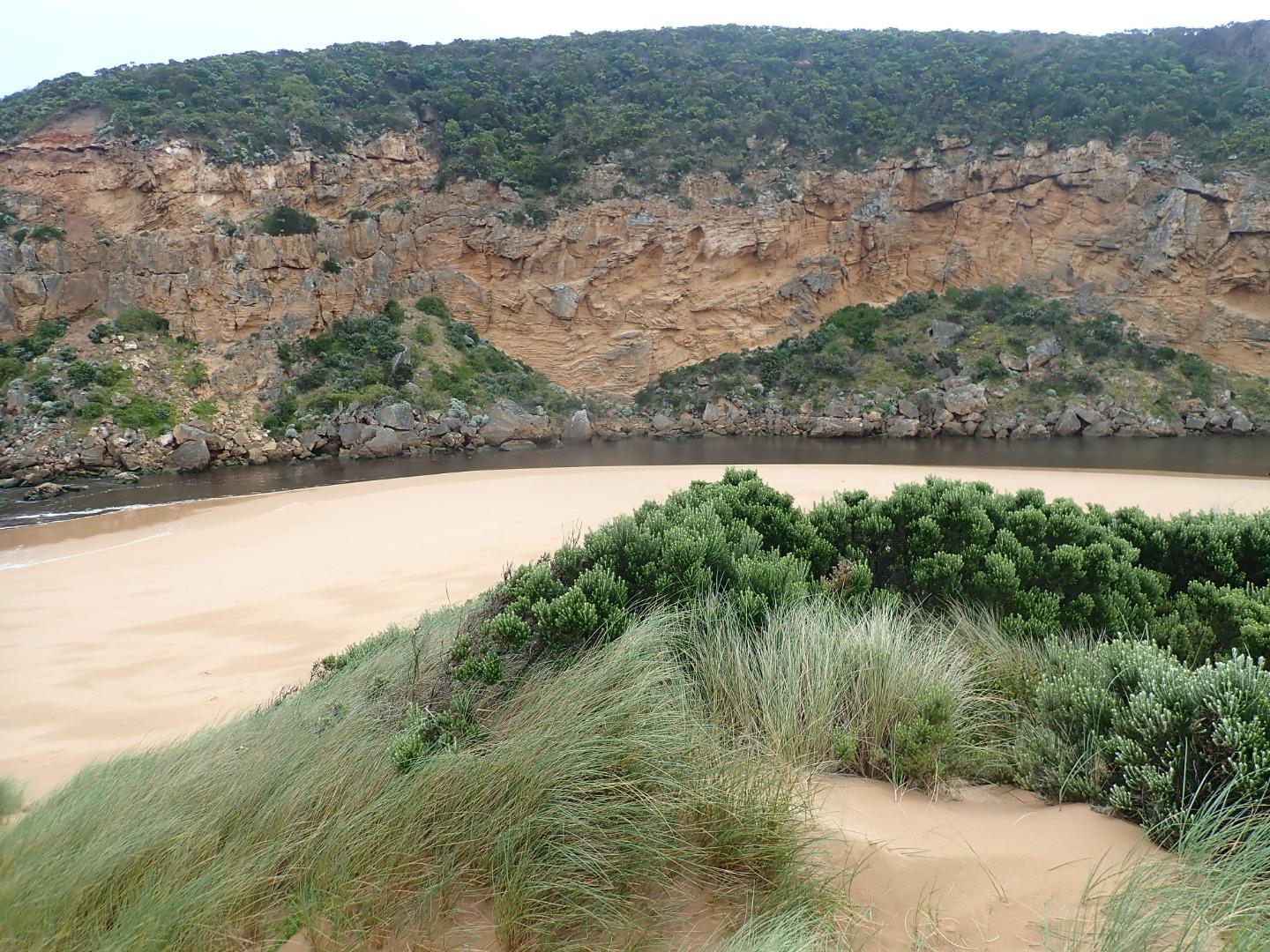 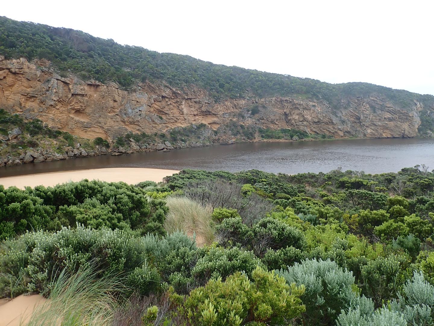 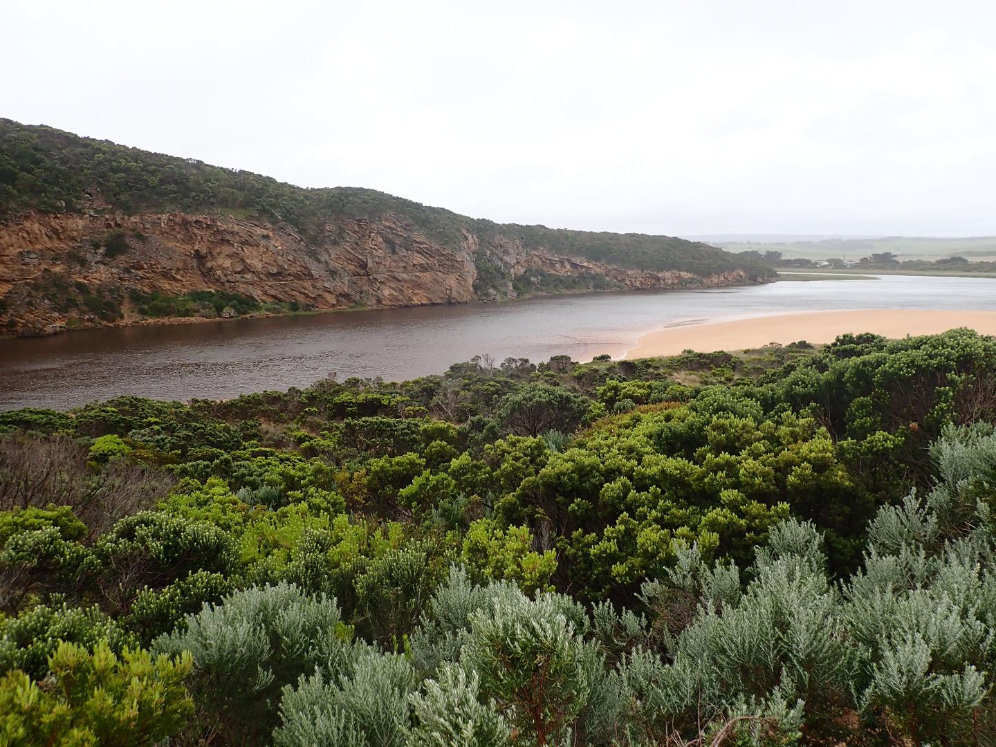 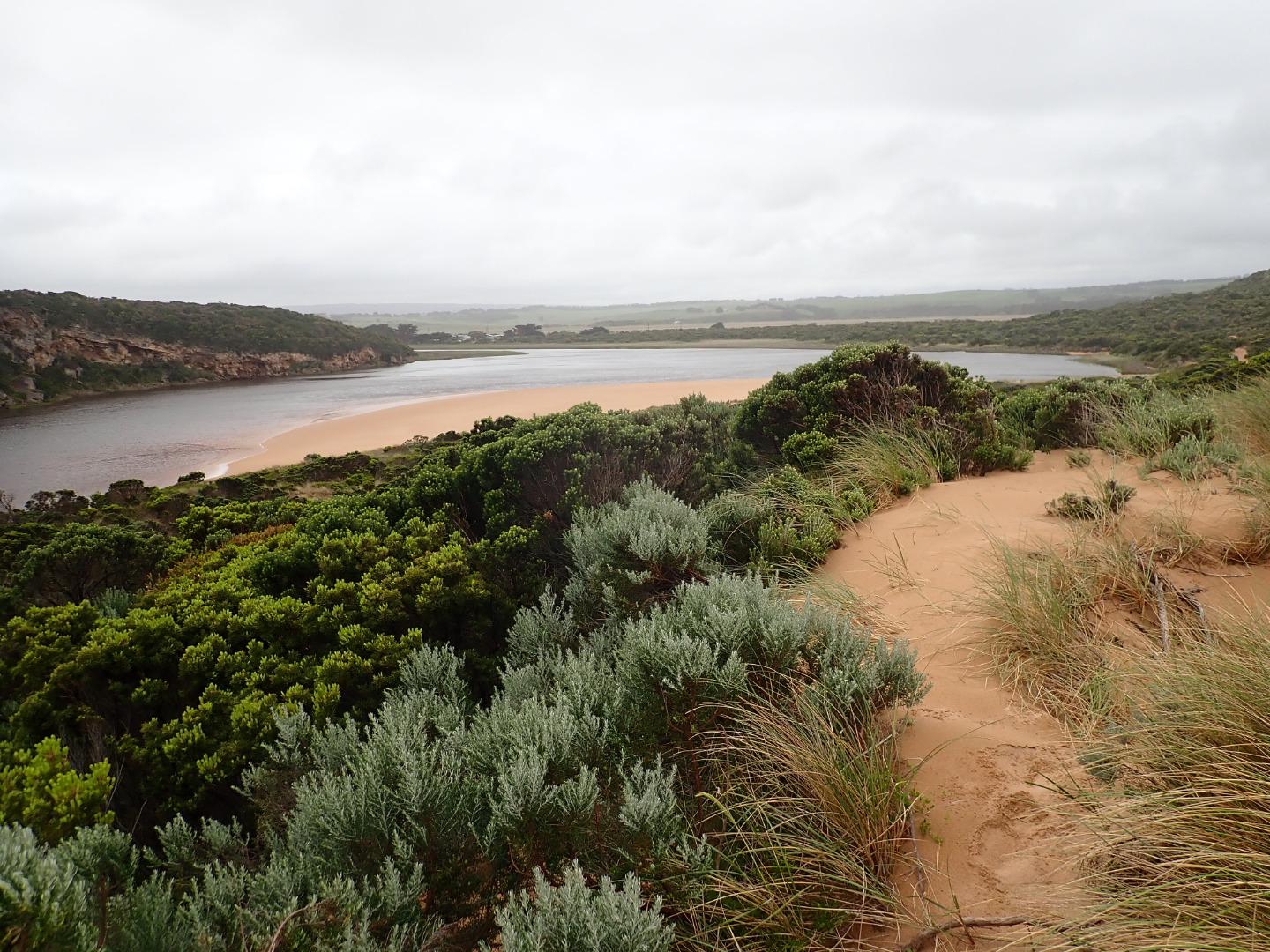 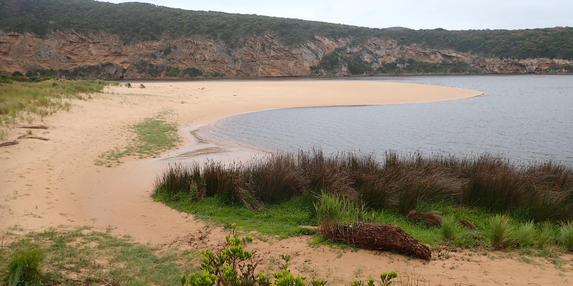 |
|
| #13395 | 10 Nov 2019 | Approved |
Notes:
AHD G6 3.24 @ 14:28 Very dark strong discharge out around the mouth for about 100 m. also continuing a long way to the east along the shoreline. Eastern end of beach covered with dark silt. The strong outflow has created sheer east side to channel about 1 m. high above water level (87 ml rain @ G6 over past 8 days). Beach is undulating & scouring areas especially at mid beach where backwash is taking out a lot of sand -waves in all directions at this area creating occasional longshore drift across mouth. Large amount of sand build up remains downstream of rocks but is being covered by outflow & entering waves. More erosion on east face of Pt. Ronald. Large areas of deep flood water covering large areas from G4 & G5 (also some between G5 &G6) but very little downstream G4. OOR only had slight flow across near flood markers (run off only. |
|


All content, files, data and images provided by the EstuaryWatch Data Portal and Gallery are subject to a Creative Commons Attribution License
Content is made available to be used in any way, and should always attribute EstuaryWatch and www.estuarywatch.org.au