EstuaryWatch Data Portal
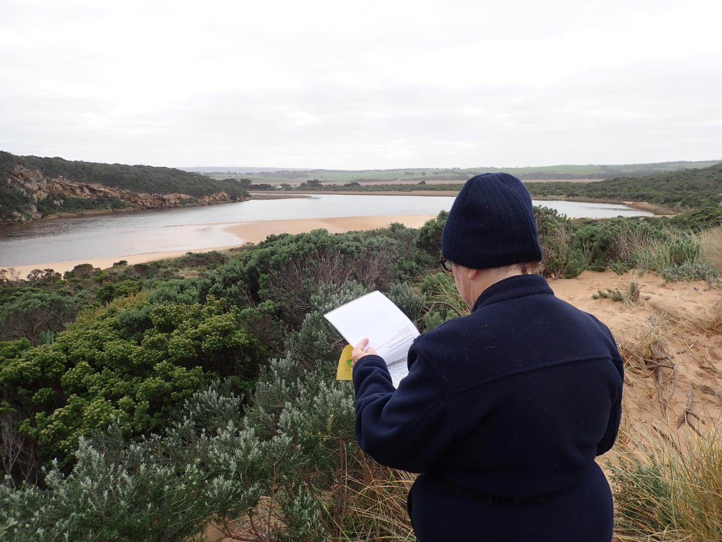
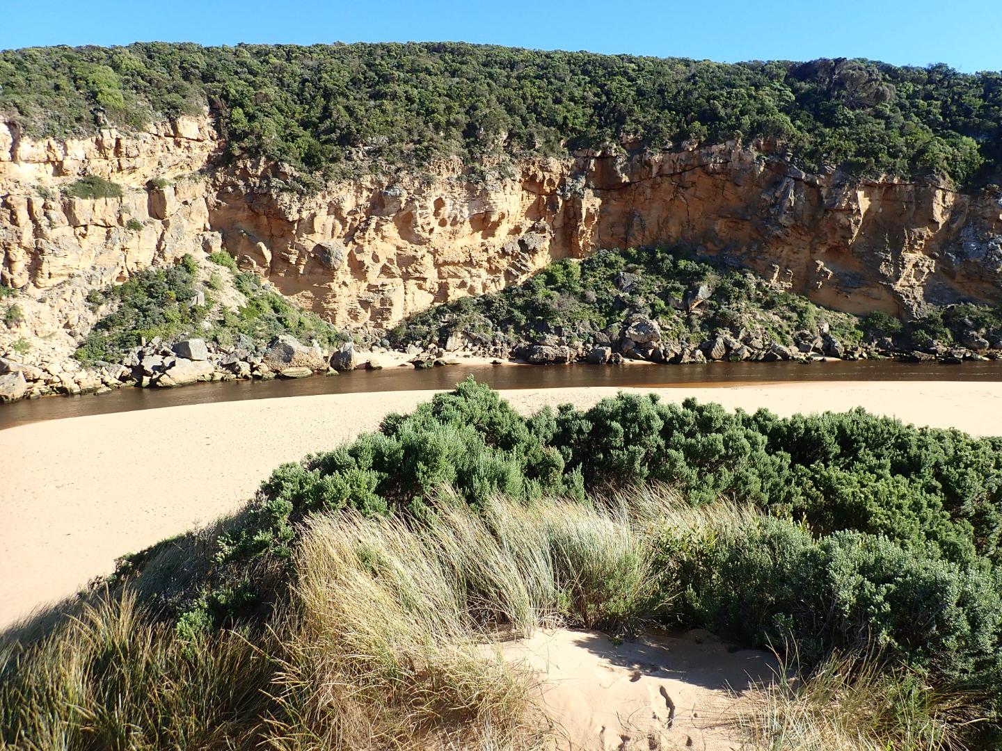
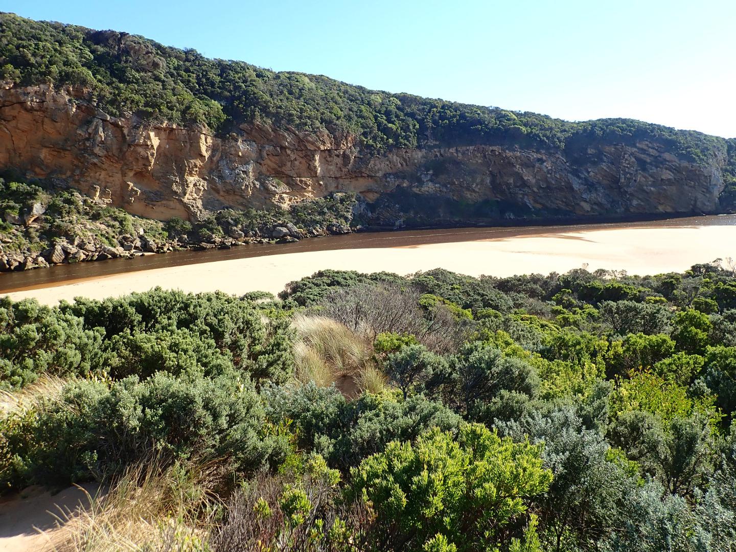
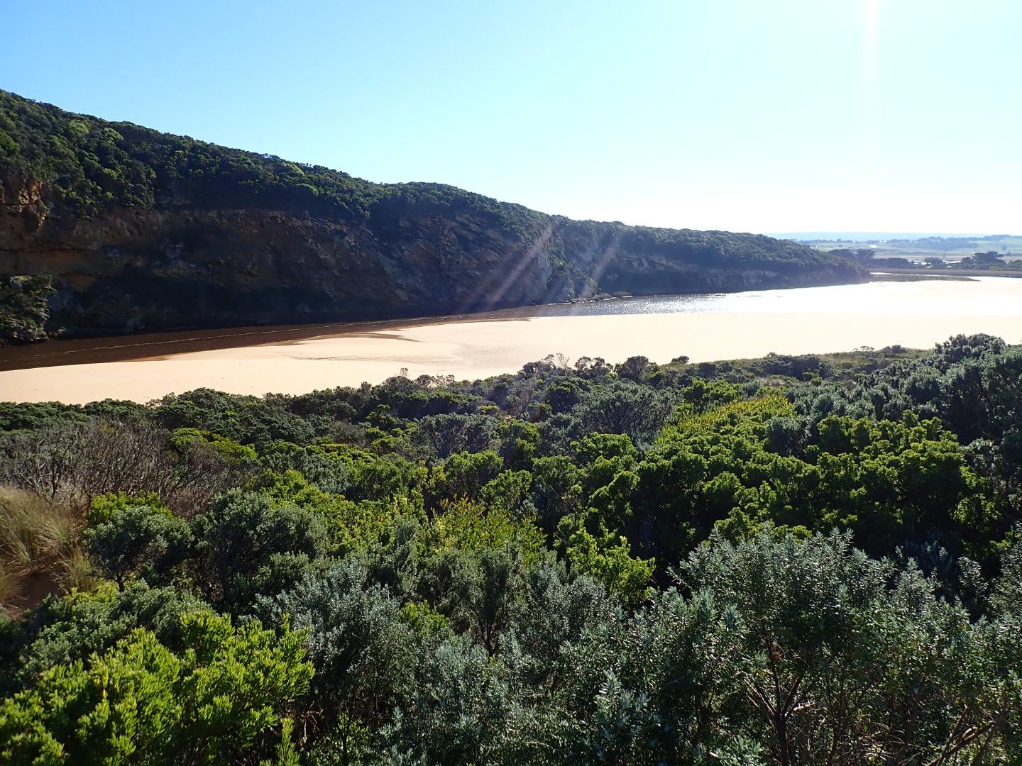
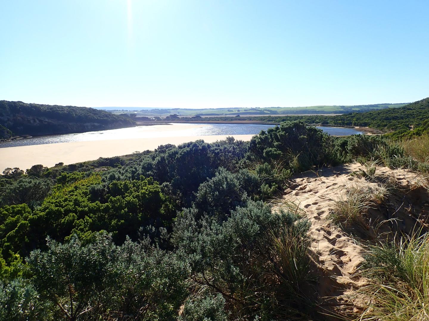
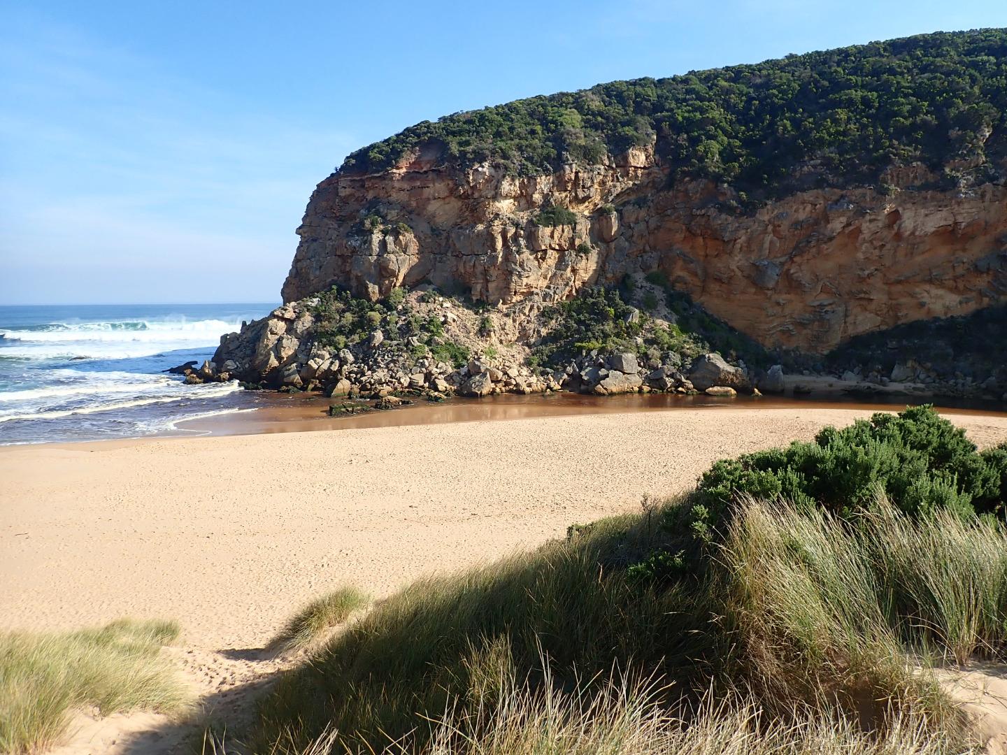
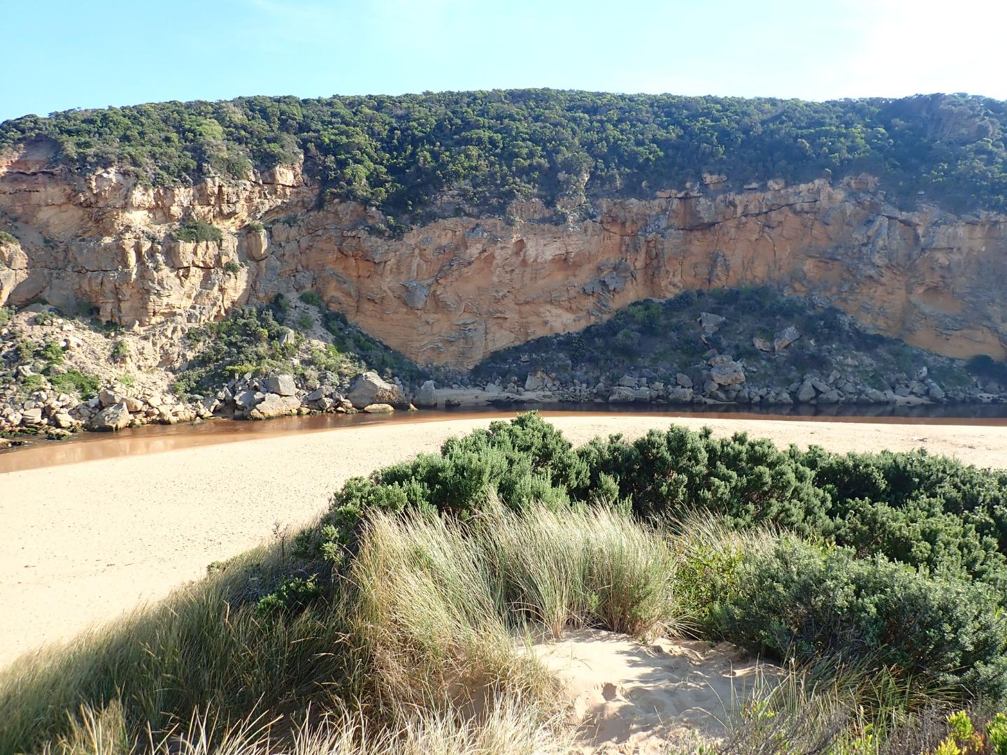
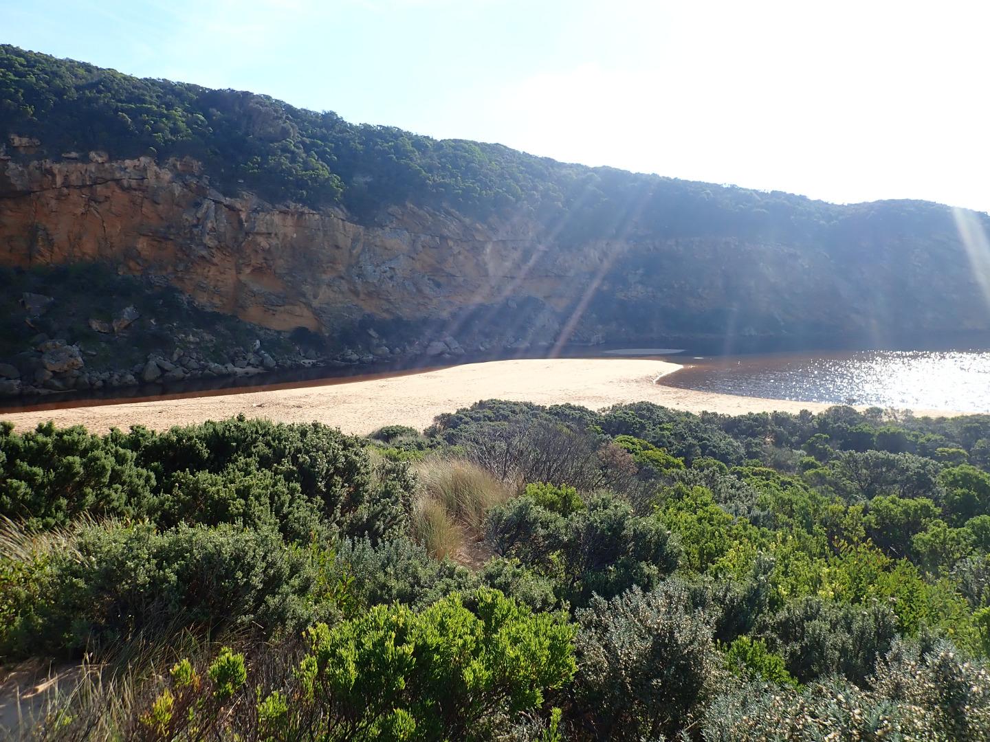
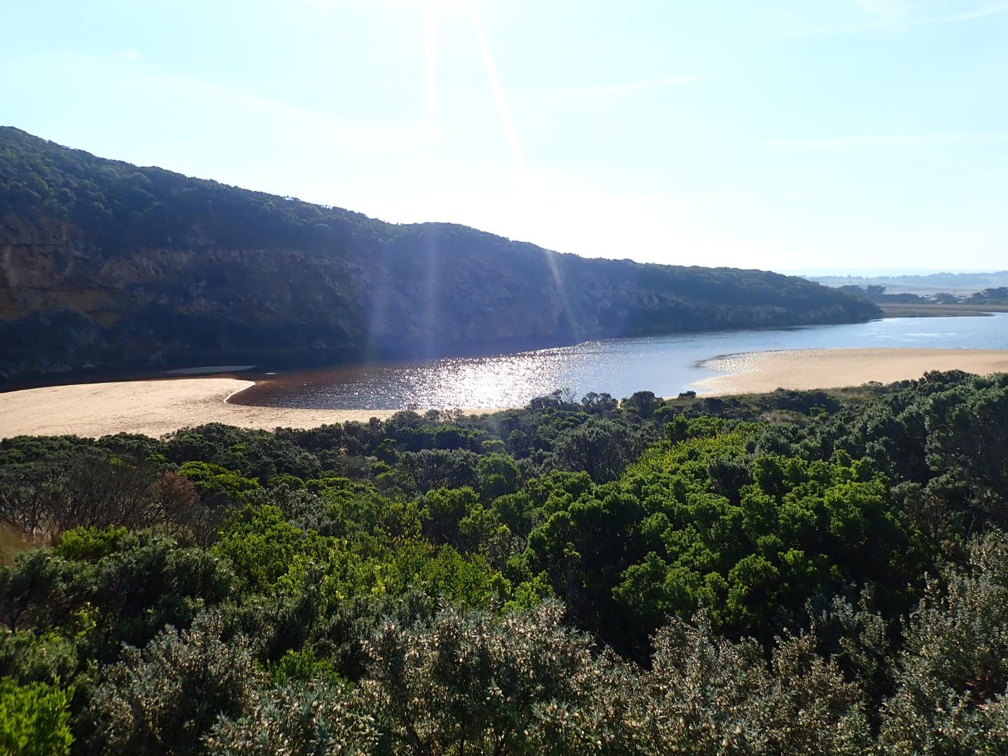
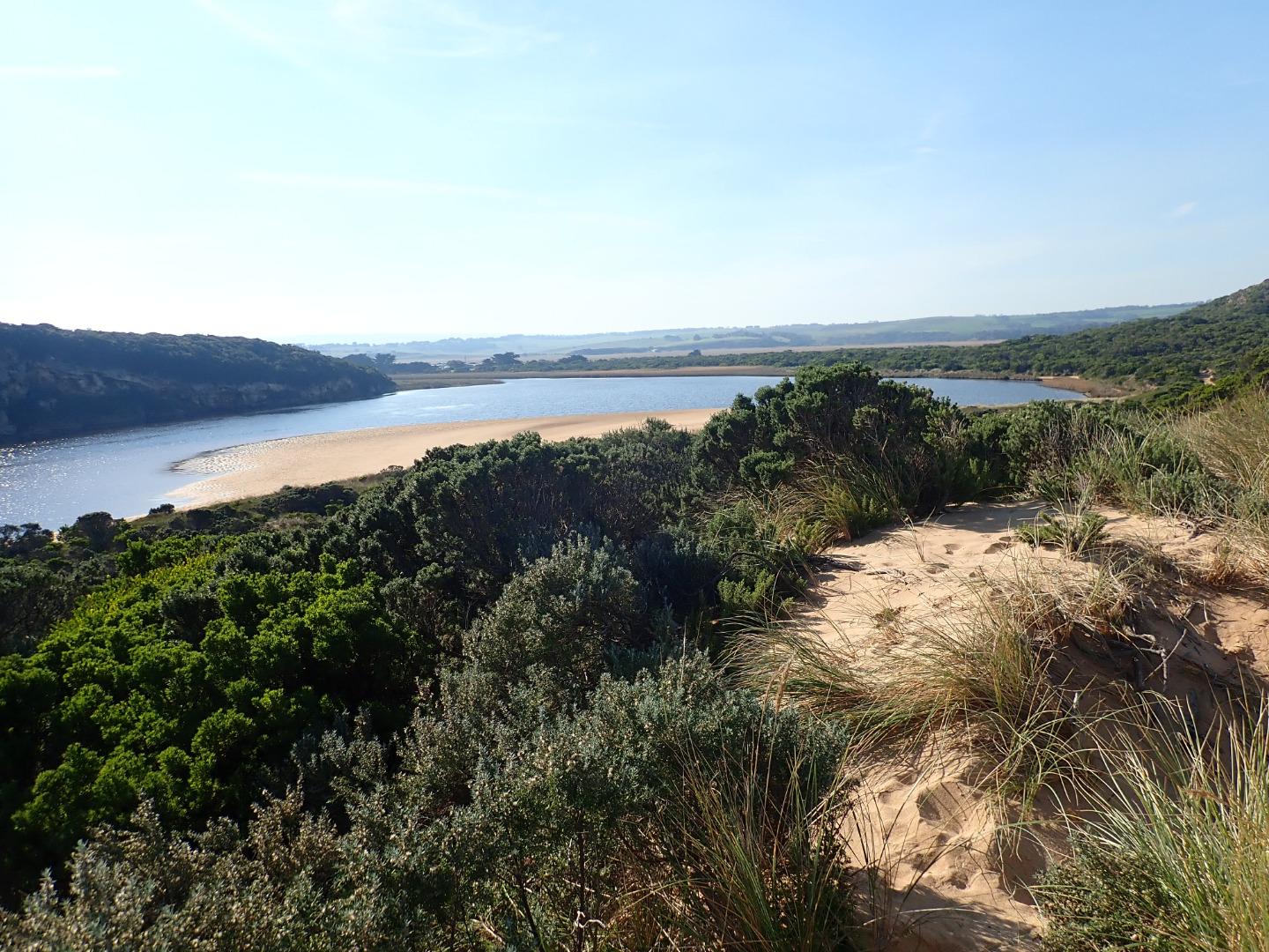
GMC Gellibrand River Estuary Mouth Observation Site
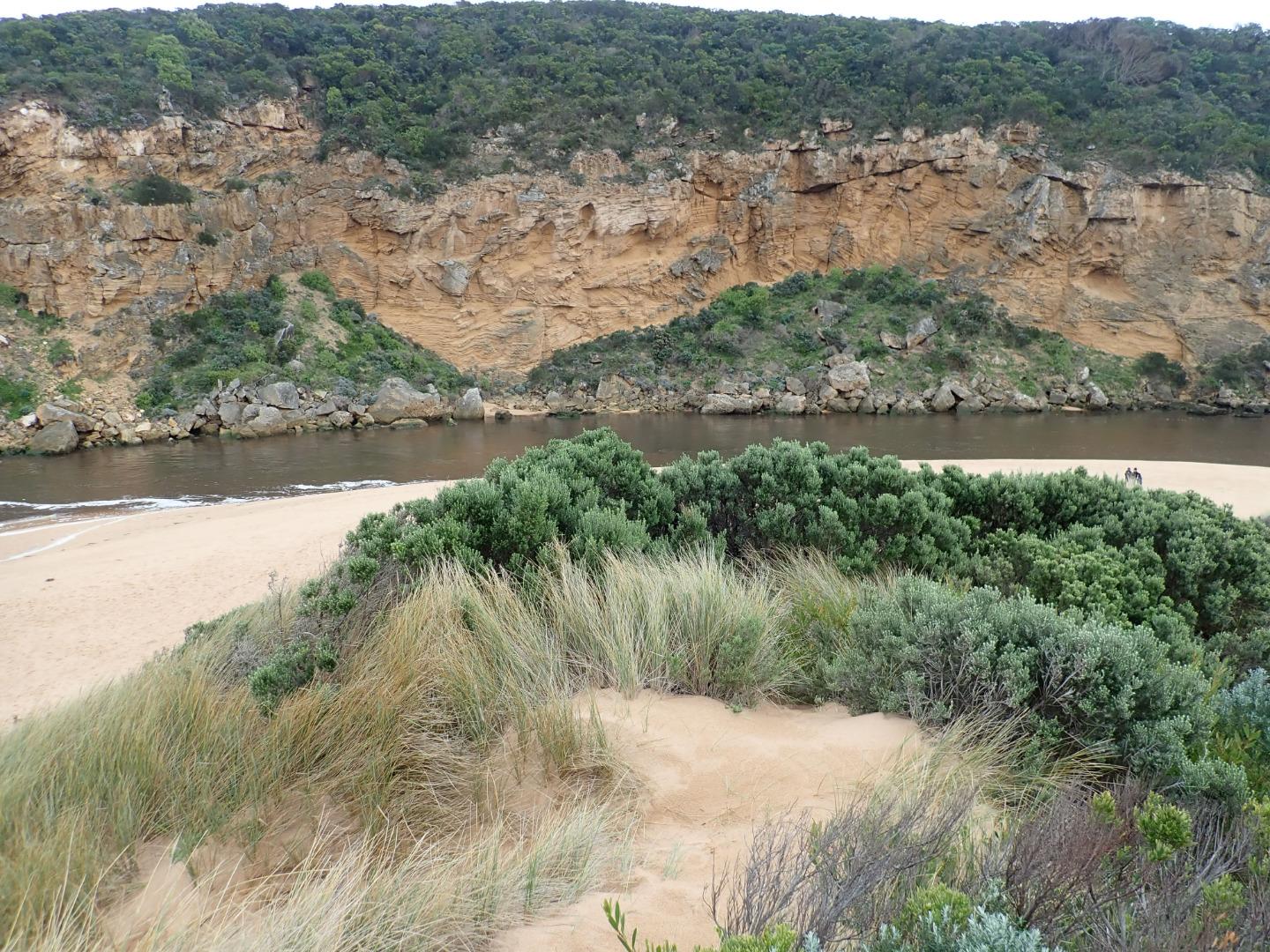
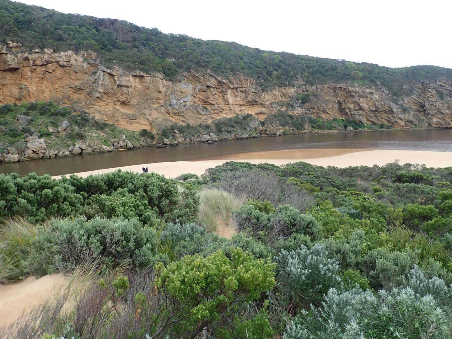
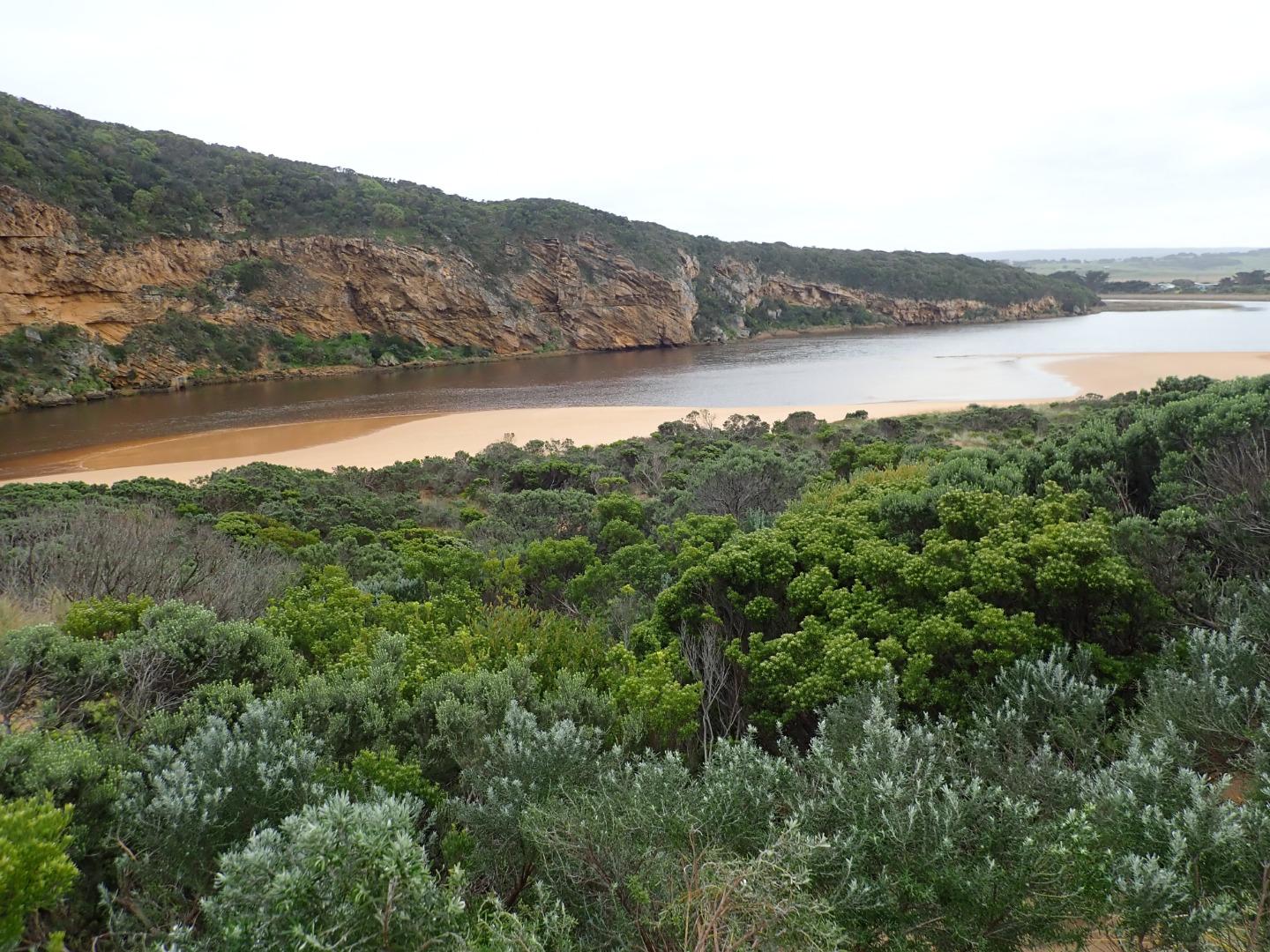
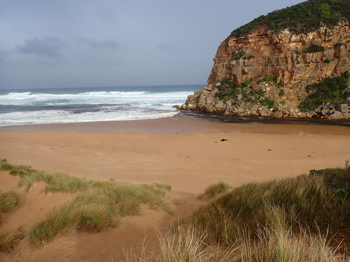
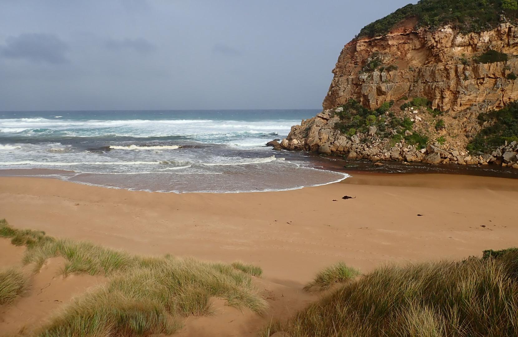
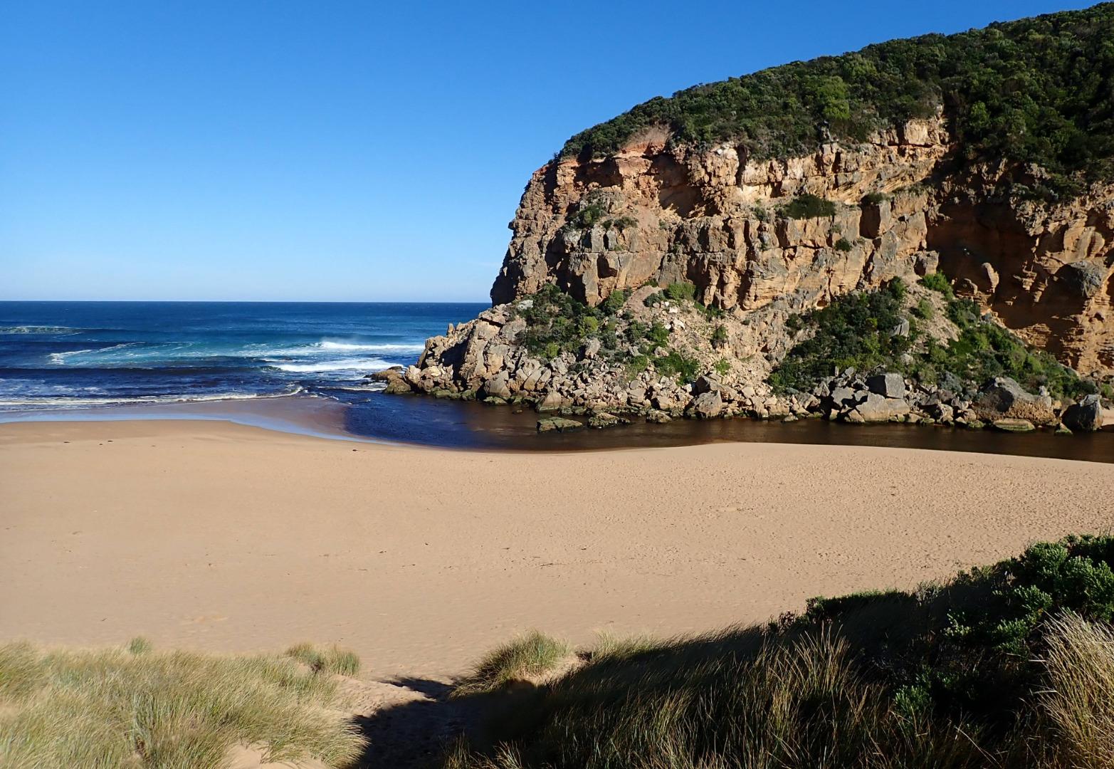
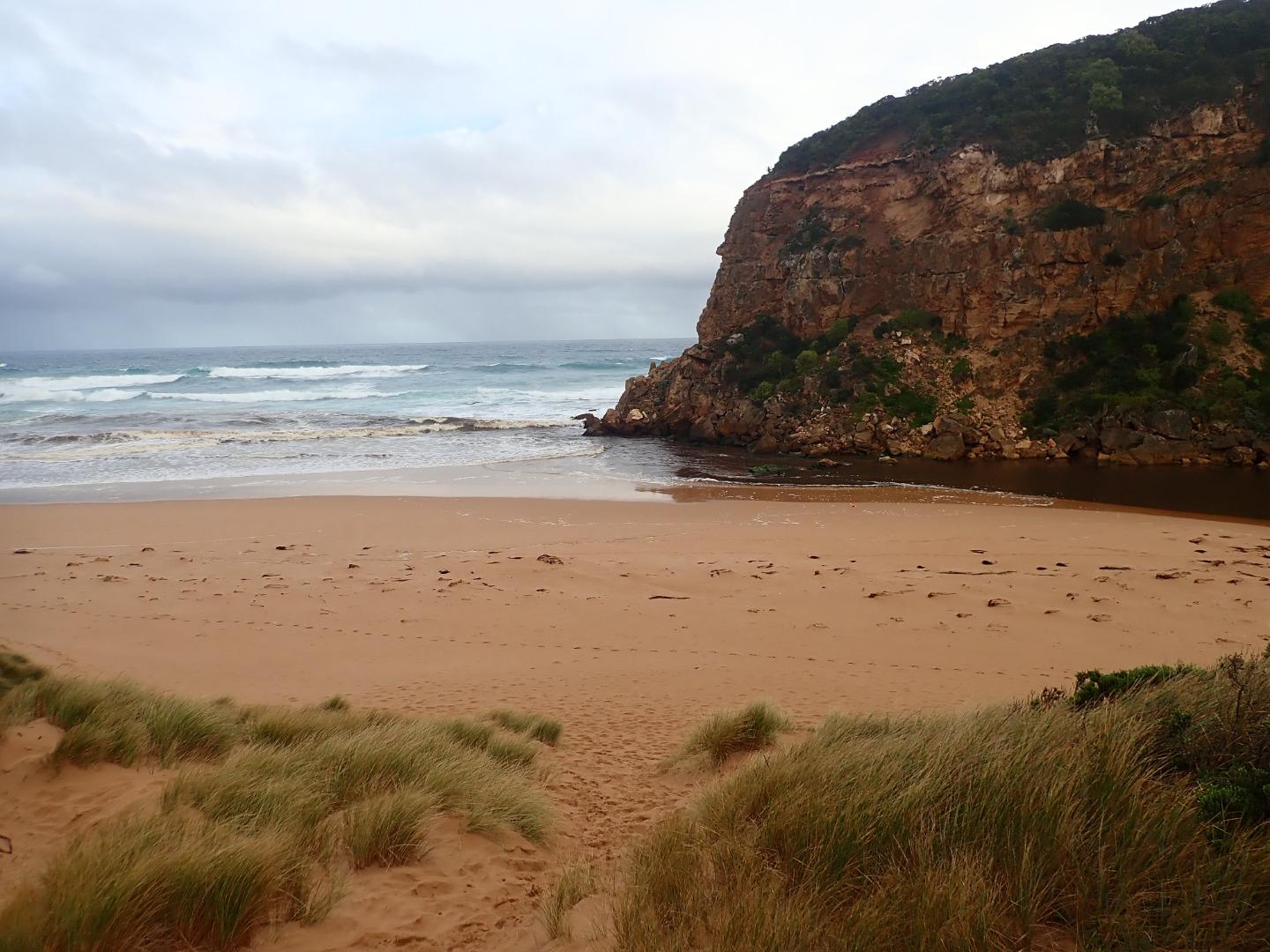
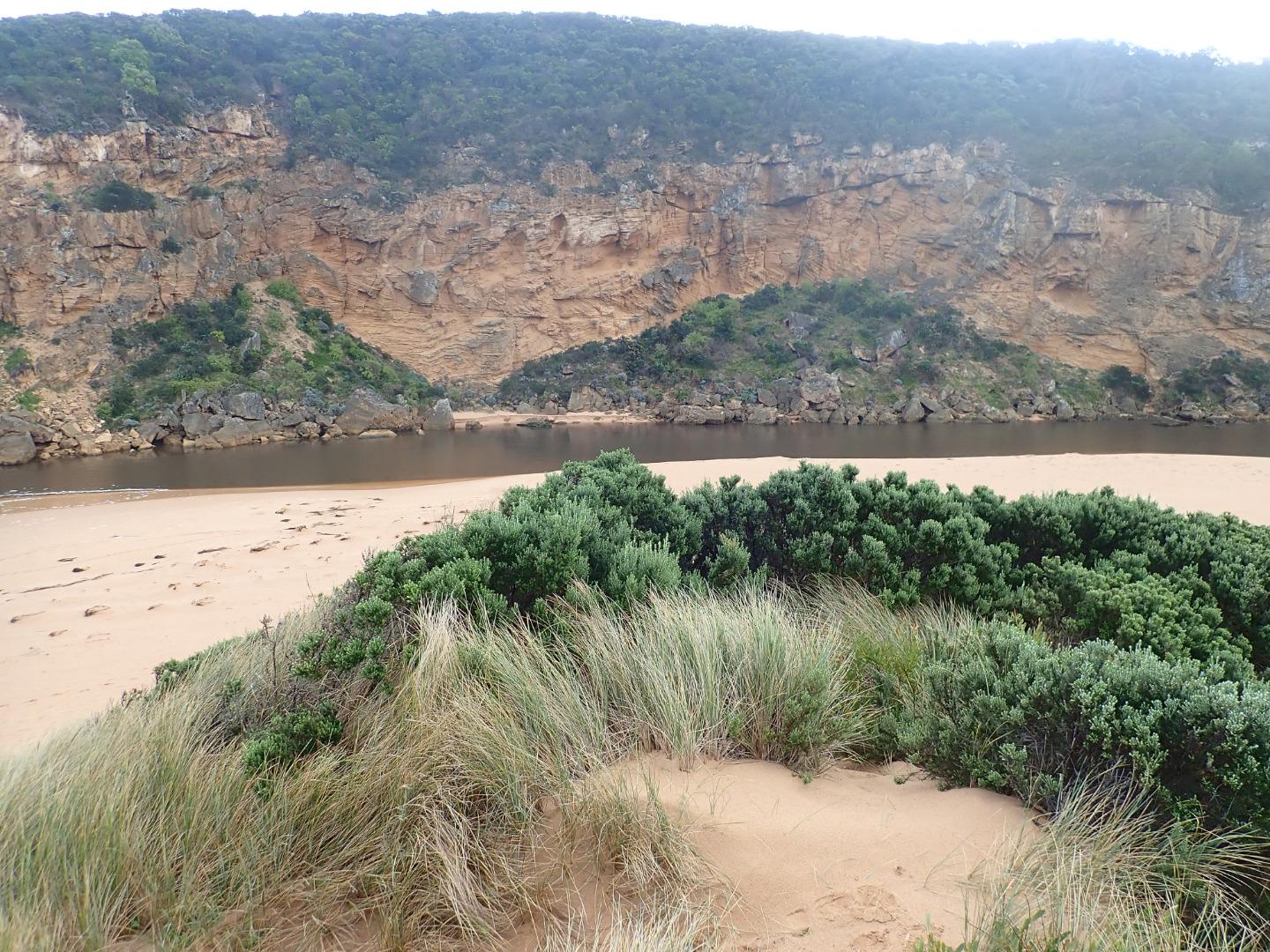
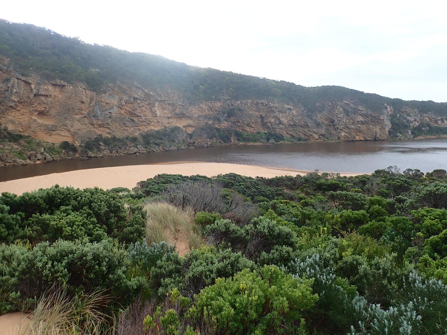
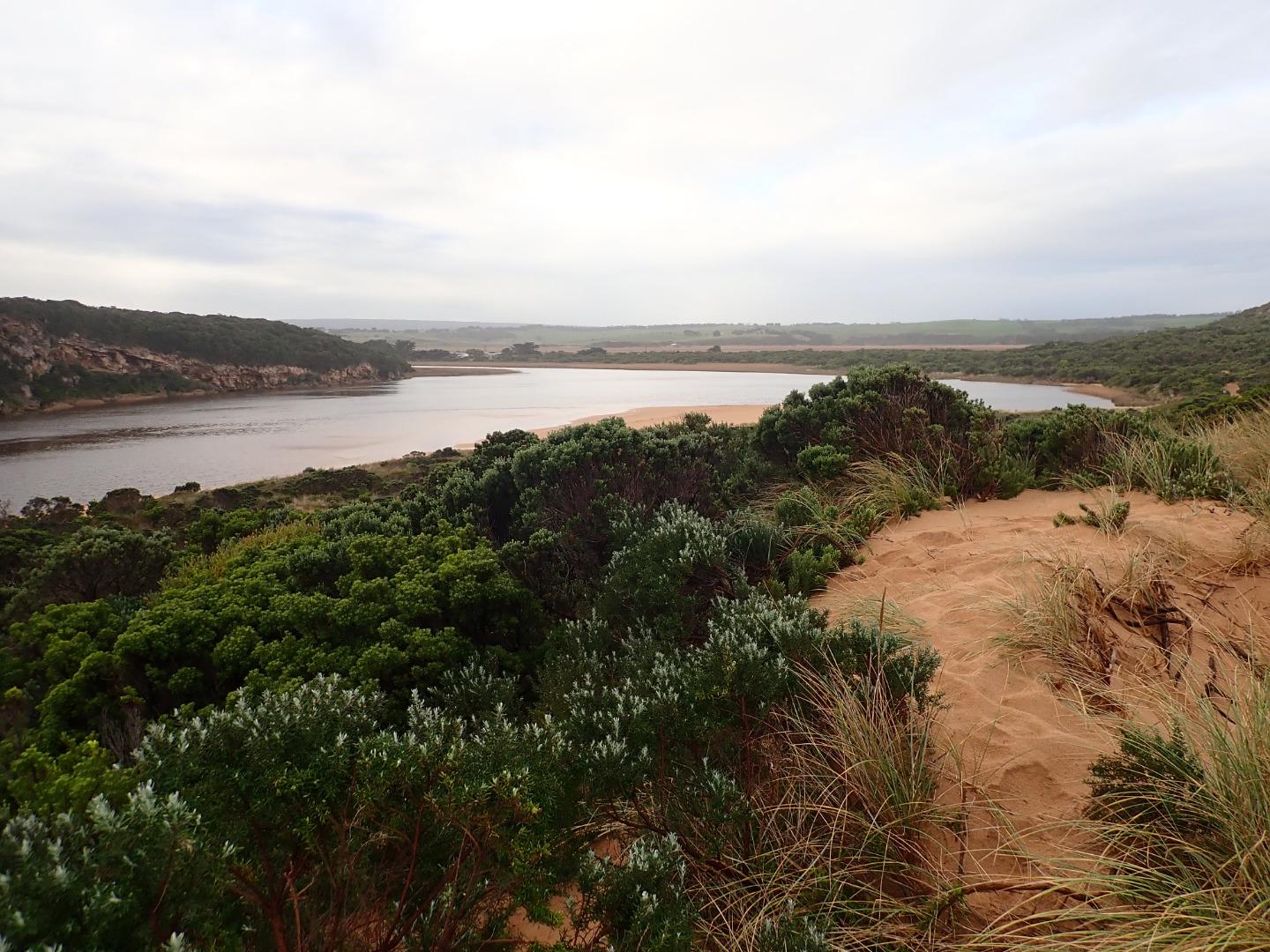
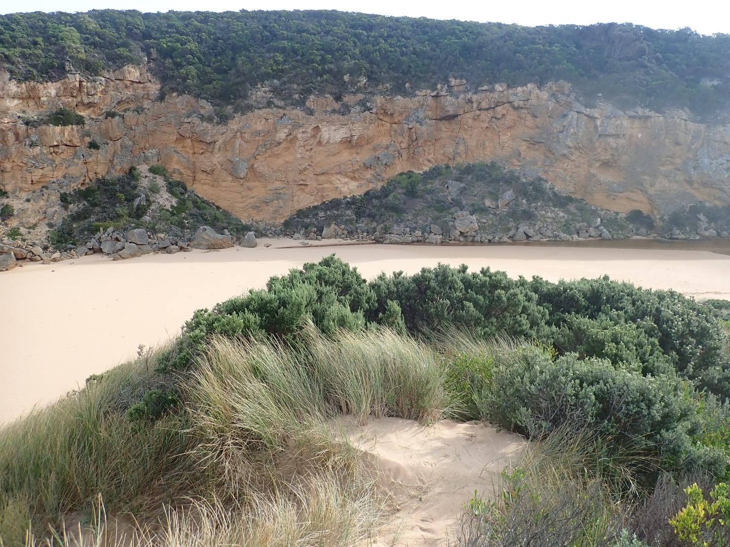
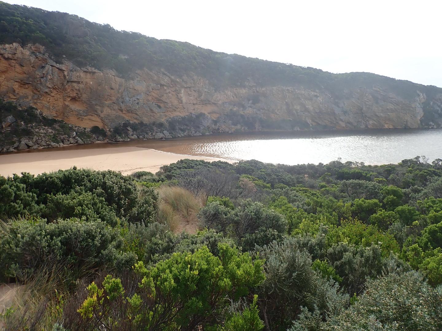
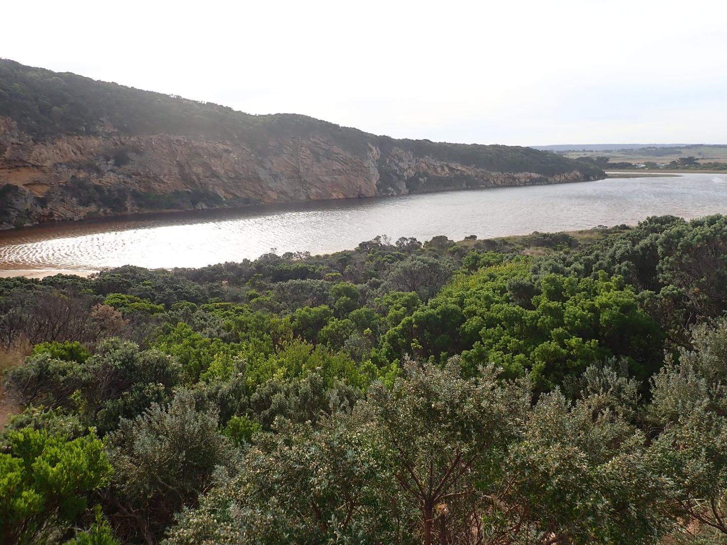
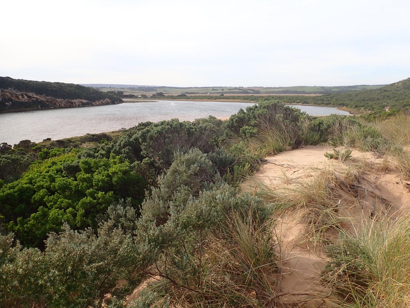
Active Mouth Condition 20-04-2007 - 19-04-2024Gellibrand River Estuary
| ID | Date | Status | Details | |
|---|---|---|---|---|
| #13208 | 19 Jul 2019 | Approved |
Notes:
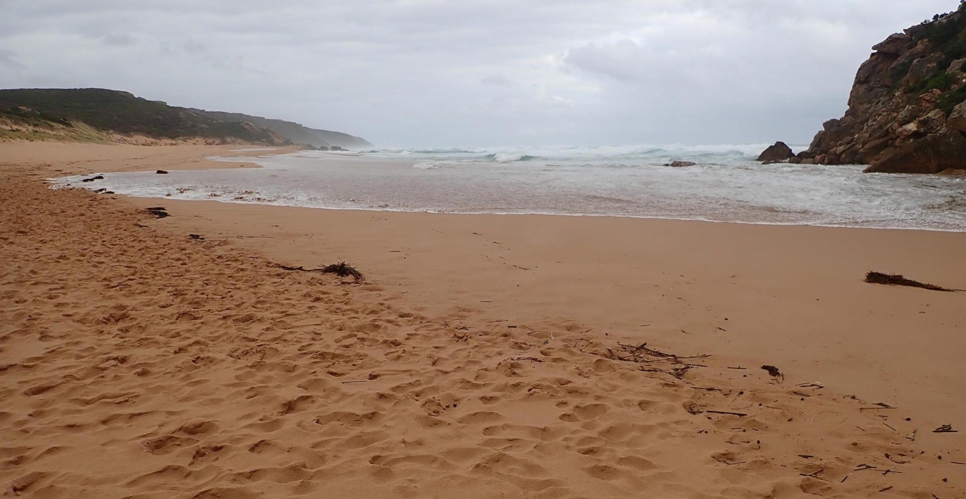
Very strong dark discharge out around mouth & to east, increased flow caused by very low tide 0.17 @ 06:31 - large amount of foam over exposed rocks & beach at east end of beach. Despite strong outflow waves are entering & travelling down sheer east side of a 25-30m. wide channel (.50-1.00m high) which is collapsing into the flow. At the start of the lagoon waves turn sharply east travelling over the increased sand build up resulting from recent very rough seas. Waves in all directions at entrance & large amount of sand moving in the flow along the channel. Area directly around mouth has been lowered & more of the old breakwater post has been exposed |
|
| #13210 | 30 Jun 2019 | Approved |
Notes:
G6 AHD 2.24 @ 10:38 Slight pale discharge around mouth & only a short distance to east but very rough sea going high up on beach & entering wide across mouth. Impact of W/WSW swell causing strong longshore drift across mouth. Wind from north @ Gp1 site but in many directions around lagoon & beach. North wind over 6 blowing sand along channel into sea 36 ml. rain on 29-06-19 but no water over any roads or tracks except low track. |
|
| #13209 | 27 Jun 2019 | Approved |
Notes:
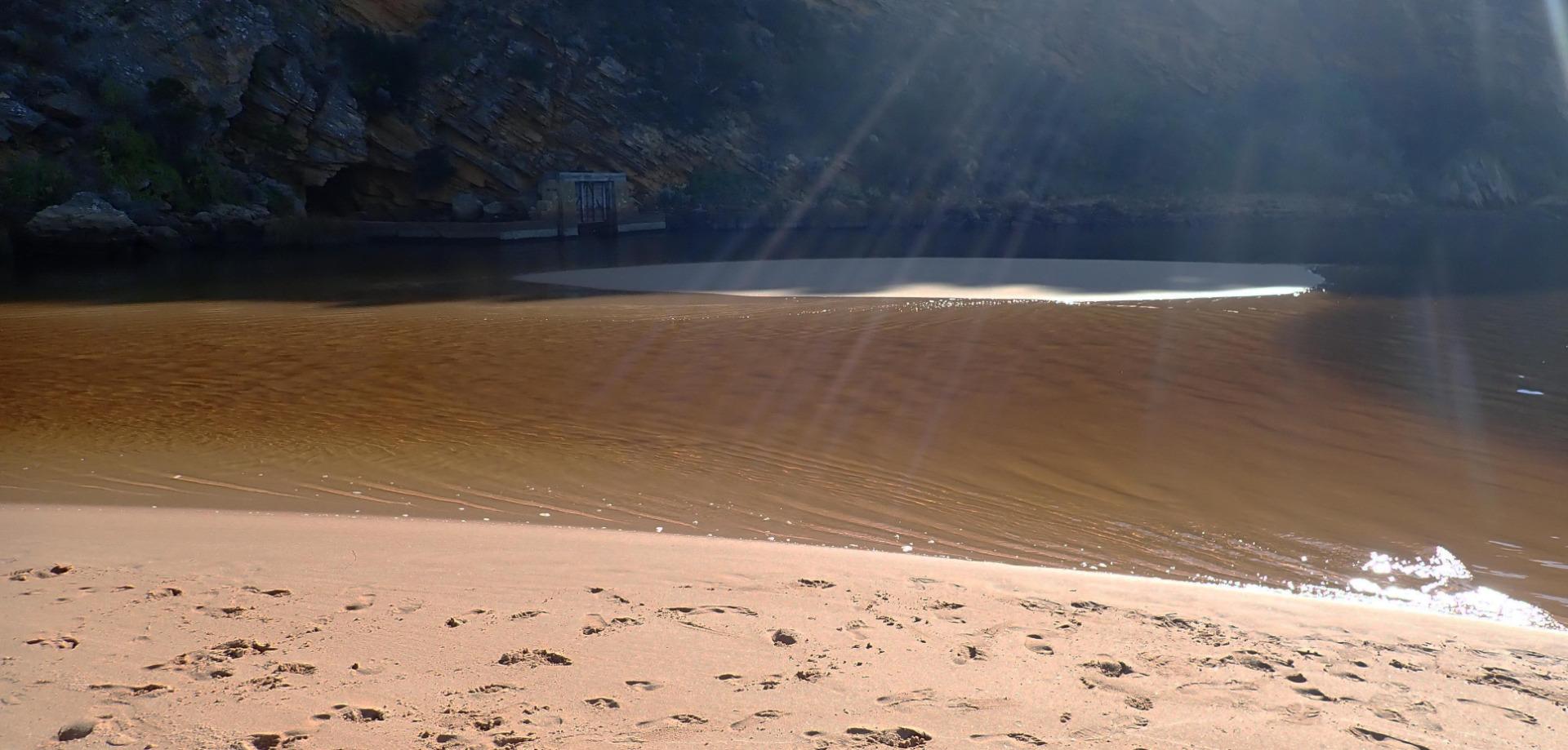
AHD estimate only as board is covered with algae & silt Pale reducing flow out around mouth & slightly to east. Very low water level with large areas of sand exposed in the lagoon. Previous sand projection & sand bar uncovered |
|
| #13165 | 21 Jun 2019 | Approved |
Notes:
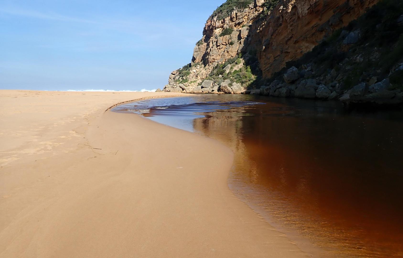
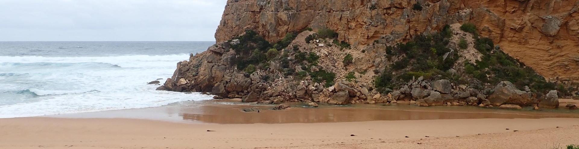
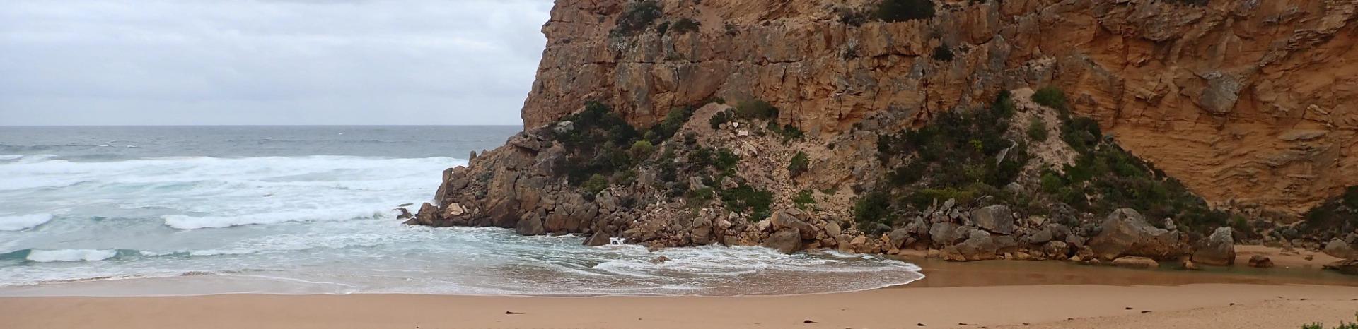
Low water level because of tide & reducing flow, dark discharge around mouth with small waves entering & going upstream across the lagoon on G2. East side of channel is sheer sided (up to about .40 high at start of channel) Remains of the previous sand projection going north into the estuary was visible because of lower water levels No water over any tracks & flood water has drained from flats around G4, but remains from midway between G5&G4 up to G6 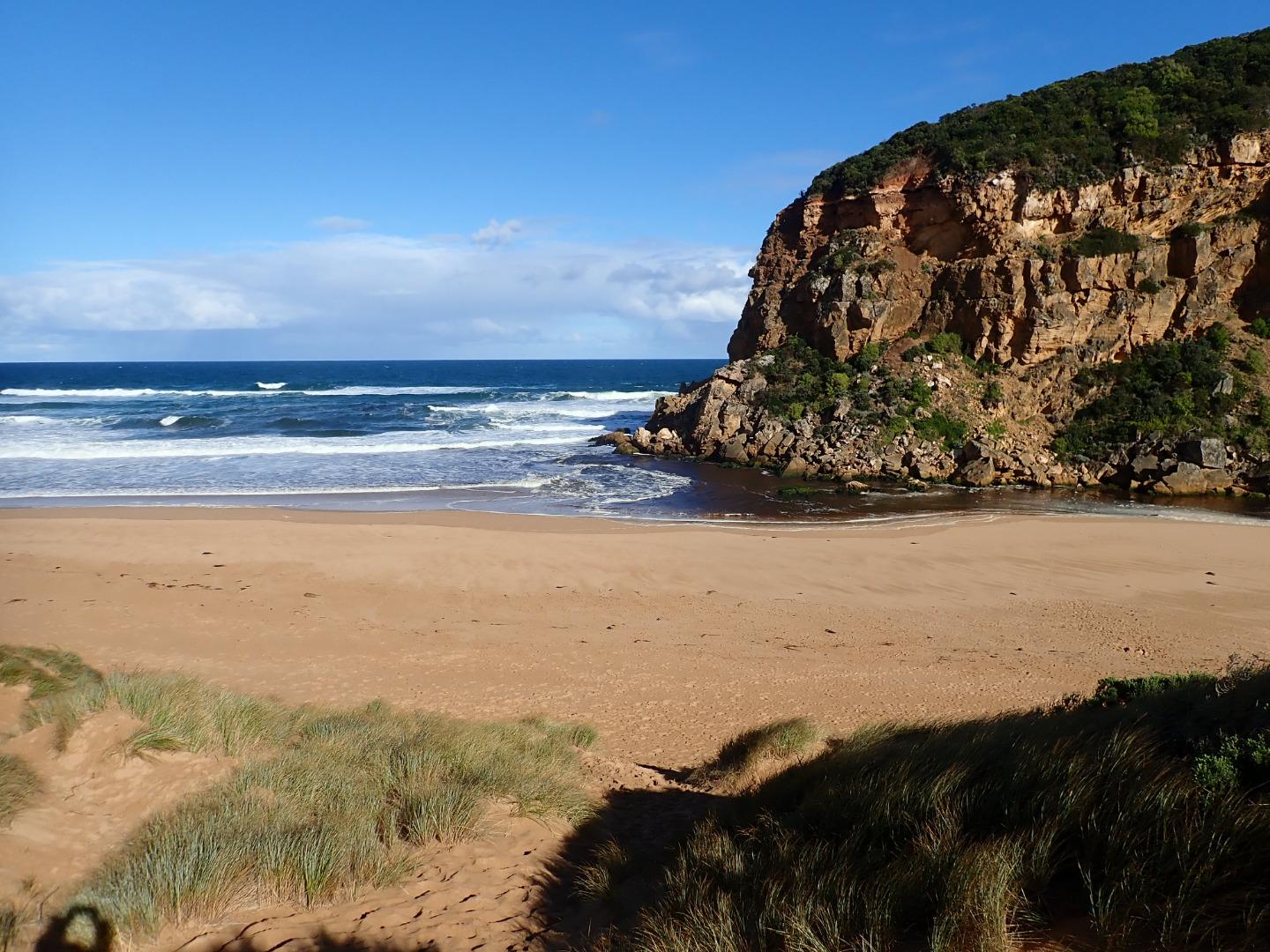 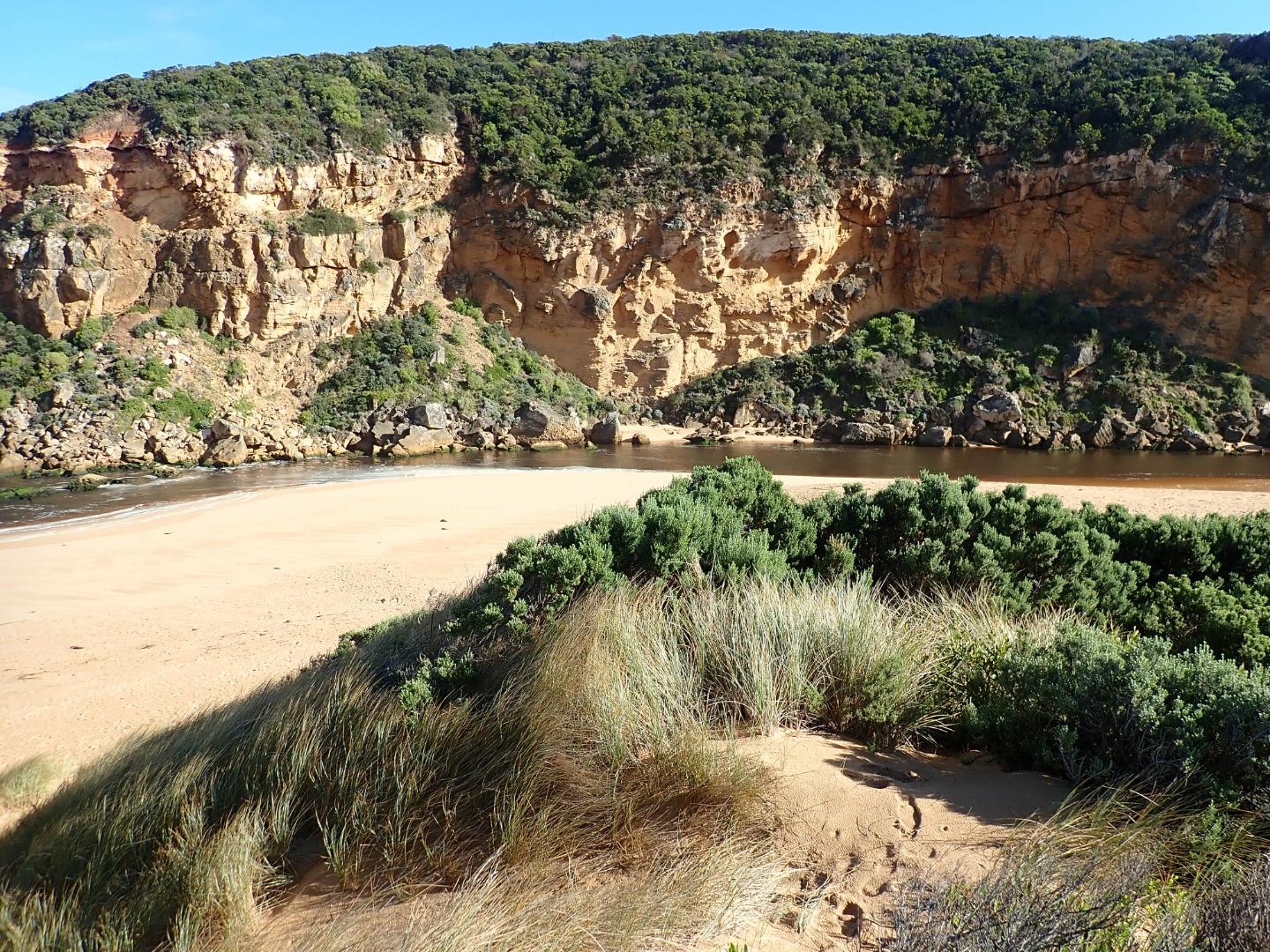 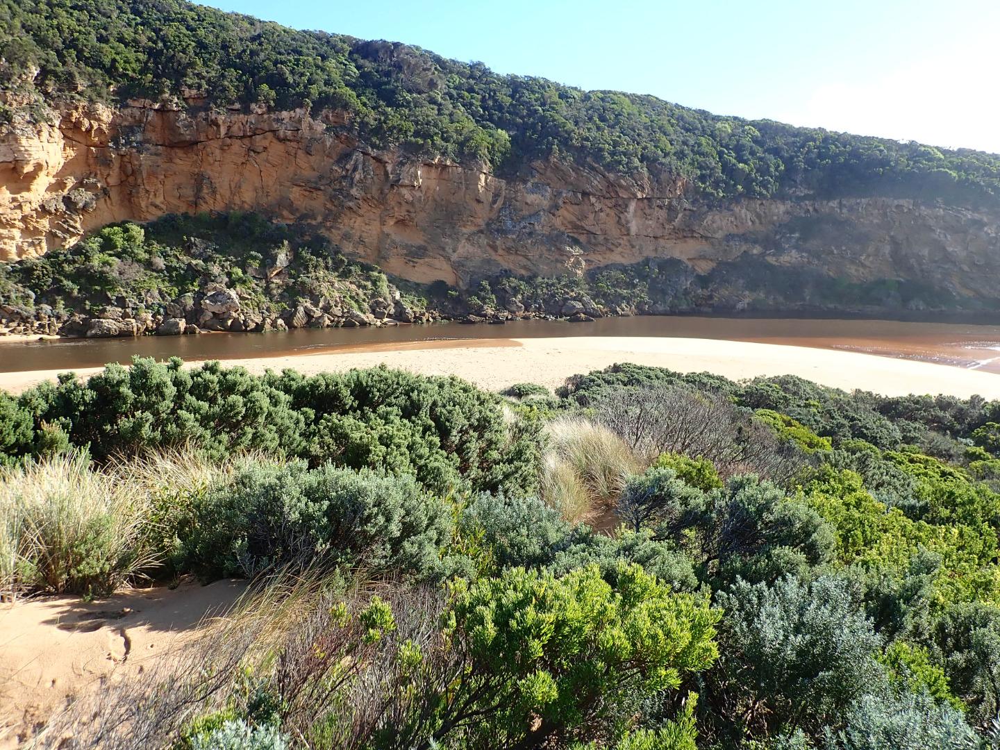 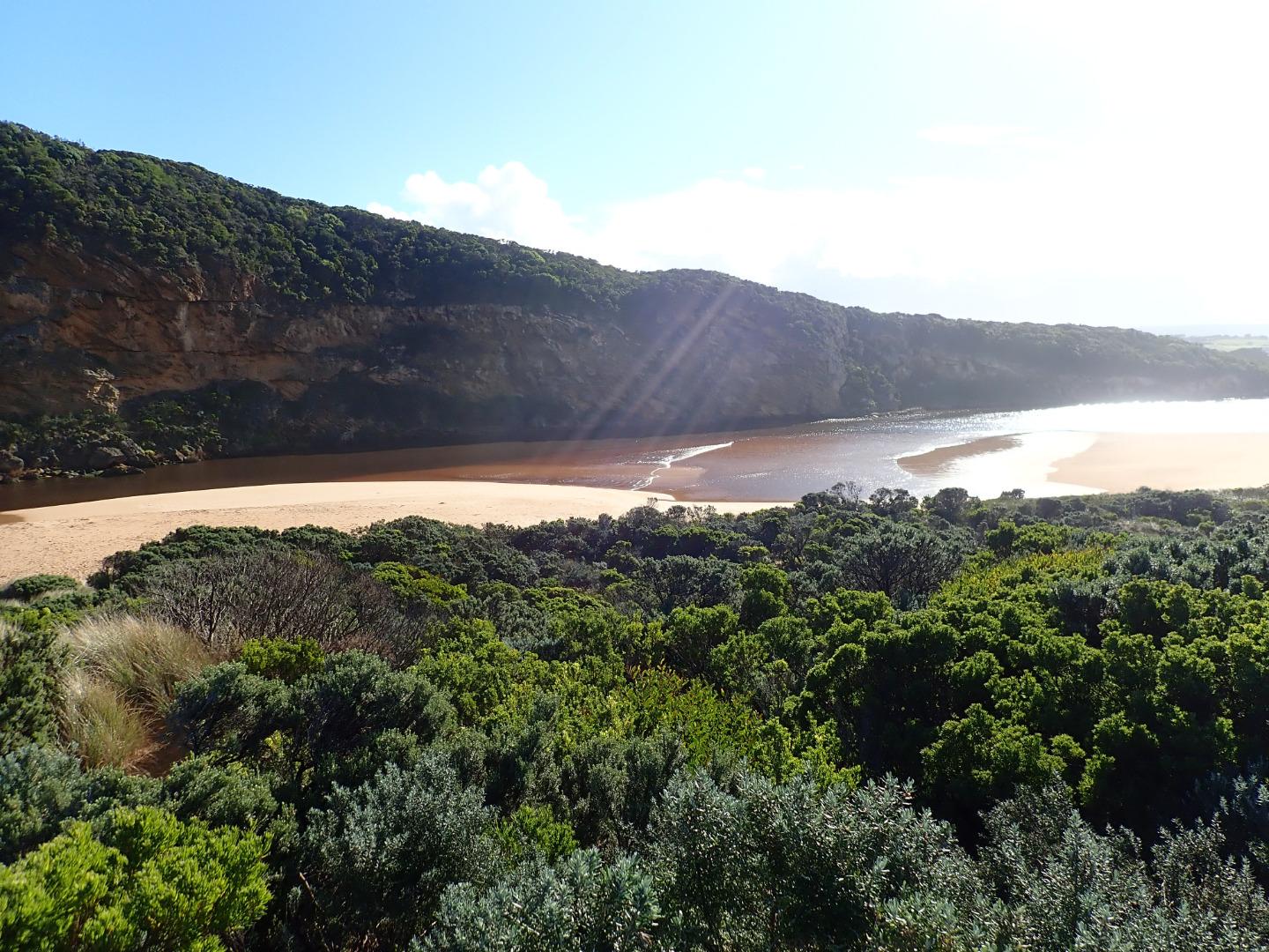   |
|
| #13135 | 14 Jun 2019 | Approved |
Notes:
Strong dark outflow from lagoon along wide channel out around mouth & to east. Rough sea sending waves high up on beach resulting in strong longshore drift which continues to scour sand from beach area around mouth which is now lower. Both ends of channel are very wide - most of previous sand projection into the lagoon has been removed but an area remains further to the east. Despite heavy rainfall the flats downstream G4 are draining but extensive flooding occurs upstream to G6. No water over roads or tracks apart from low track which has water only in very low areas |
|
| #13077 | 17 May 2019 | Approved |
Notes:
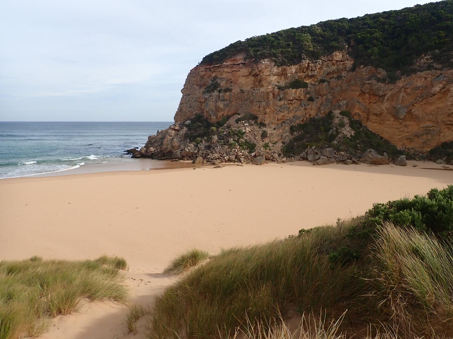
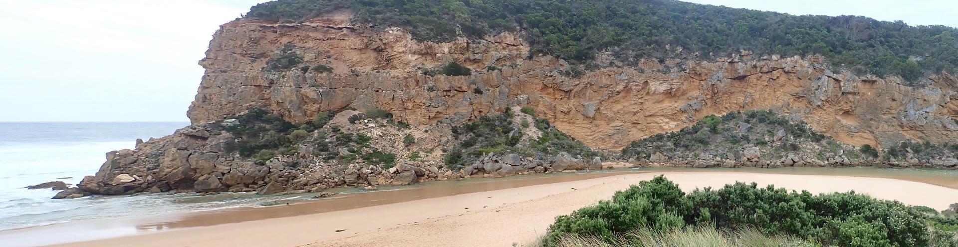
Mouth open with rocks well exposed, sea moderate but higher waves breaking on sand bar, active longshore drift across with some waves entering up channel into estuary scouring out sand at east side. Large tongues of sand projecting into lagoon -exposed areas in new formation in front of tunnel |
|
| #12901 | 3 May 2019 | Approved |
Notes:
AHD G6 1.42 @ 08:40 Shallow outflow opening wide over sand build up at entrance - very large amount of sand visible under water in estuary extending past tunnel entrance. sea moderate but some high sets breaking on sandbar about 50m. out & going very high up on beach. Occasional small waves from longshore drift & incoming sw swell going part way up channel to where it narrows down to about 2m.wide. Waves are going over top of high sand build up at mid beach (formerly a narrow projection but now extending towards east end of beach) where water then runs east along an area on top of high sand to slightly lower area where abruptly turning towards ocean it scours out narrow N/S channel - very large amount of sand visible in outflow & back wash in ocean at that area Water level in downstream of G2 is high, water over top track & nearly up to ocean car park. No water on any roads but at side of OOR between flood markers & GOR. Flats south side of G4 & downstream have visible water cover - further upstream water from runoff (about 30 ml. on 01-05-19) is only in very low areas & drains   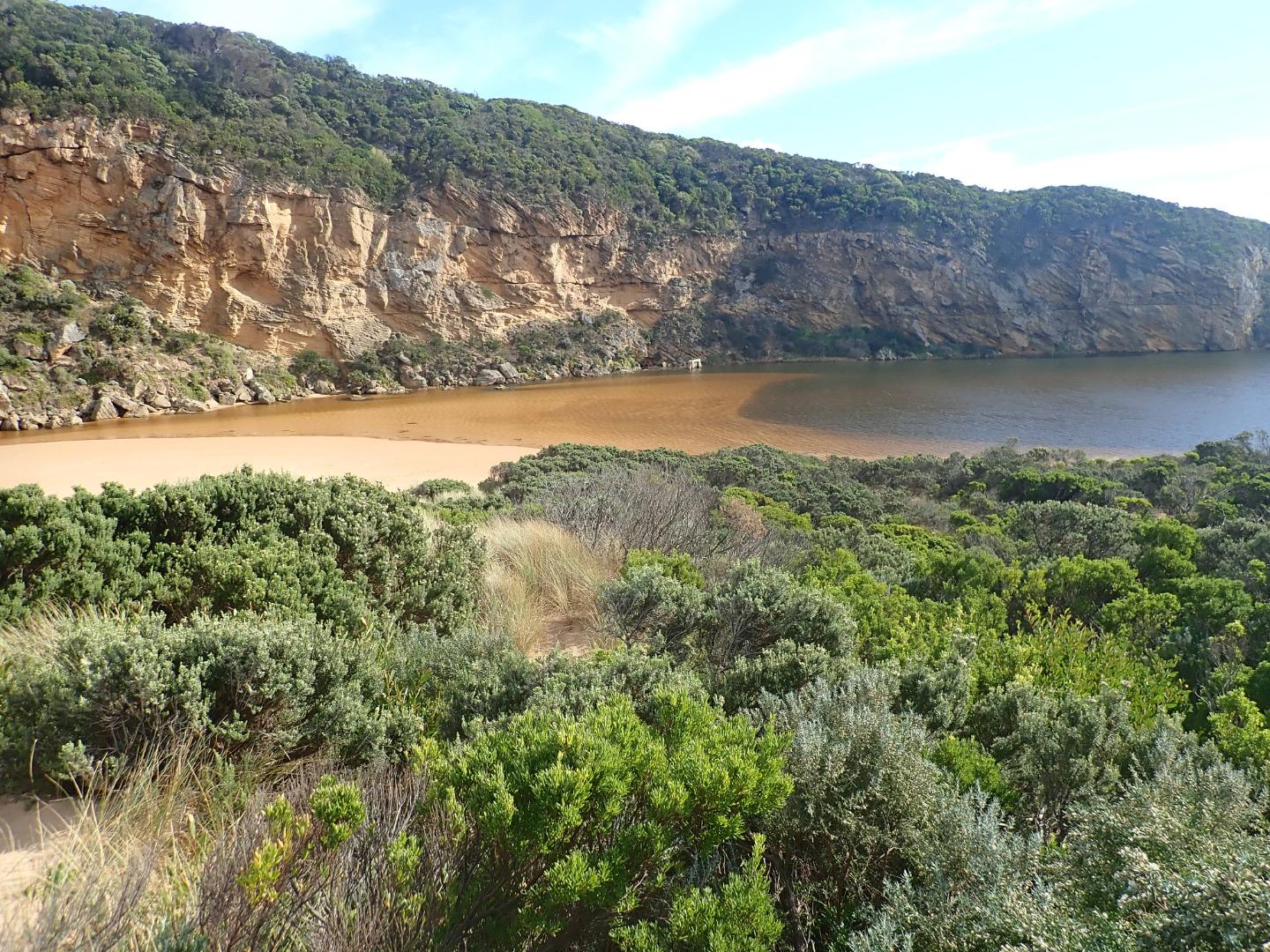 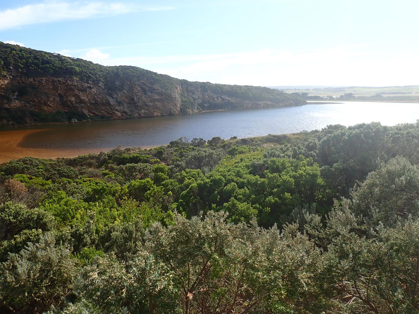 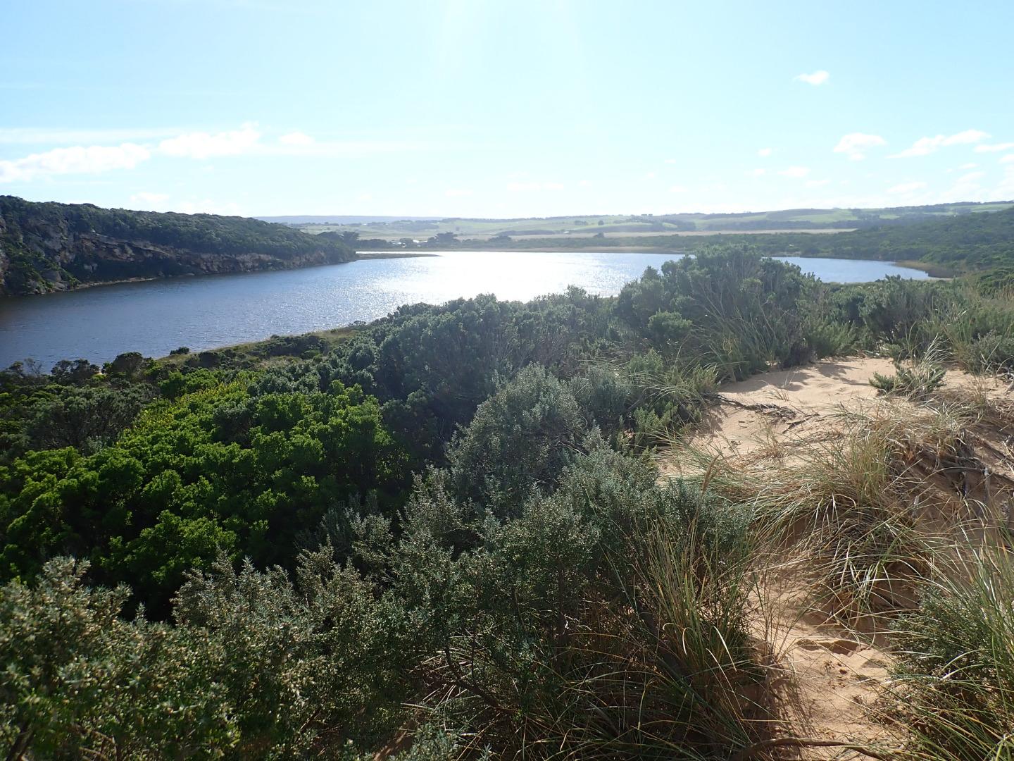 |
|
| #12894 | 30 Apr 2019 | Approved |
Notes:
AHD G6 1.28 @ 11:45 = both G6 & G2 are the same Mouth barred- the actual length of the berm without water is not great but only a very narrow very shallow projection is coming out of the estuary where an extensive sand build up is visible extending well into the estuary almost up to the tunnel entrance. Height of berm from estuary is .10 with gradual slope down to ocean. the recent storm has considerably lowered the beach around entrance & up to the sand spit at mid beach No water over any roads but flats DS G4 have water cover. G2 E.C. from 28.91 @ .10 from surface to 51.5 @ 4m down G4 E.C. 3.057 @ .10 then E.C. 48.88 @ 1.75 down & E.C. 52.3 @ 5.00 Bridge at G2 being repaired |
|
| #12891 | 26 Apr 2019 | Approved |
Notes:
AHD @ G6 about 0.96 @ 13:58 board covered with silt Observations made during hi tide & storm surge - wind from SE 8-9 along beach but even stronger turning down channel Not possible to use Gp1 site so taken from below. Waves entering from high sea combined with a very high tide. No fresh discharge only shallow salt return over high sand build up in channel. Waves going up to base of dunes all along beach & channel. Entering very wide at mouth & completely across channel. SW swell with over 8m waves strongly impacting east end of beach creating very strong longshore drift & backwash. Waves overtopping high part of beach about 50m from west cliff then turning west & around into the channel meeting incoming waves from SW swell also going down creating an extremely strong N-S backwash - also whirlpools at start of estuary, this action has left significant depressions in the sand . The wind action has also sent large amounts of sand from the beach down the channel & into the estuary 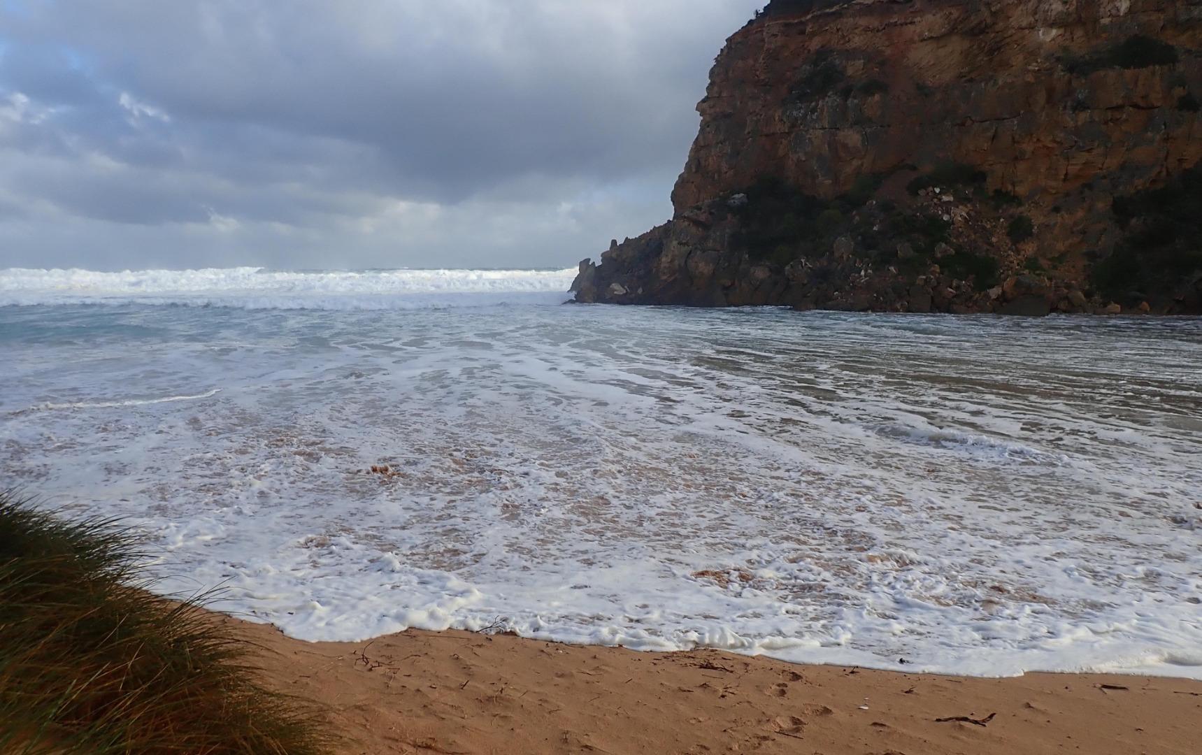 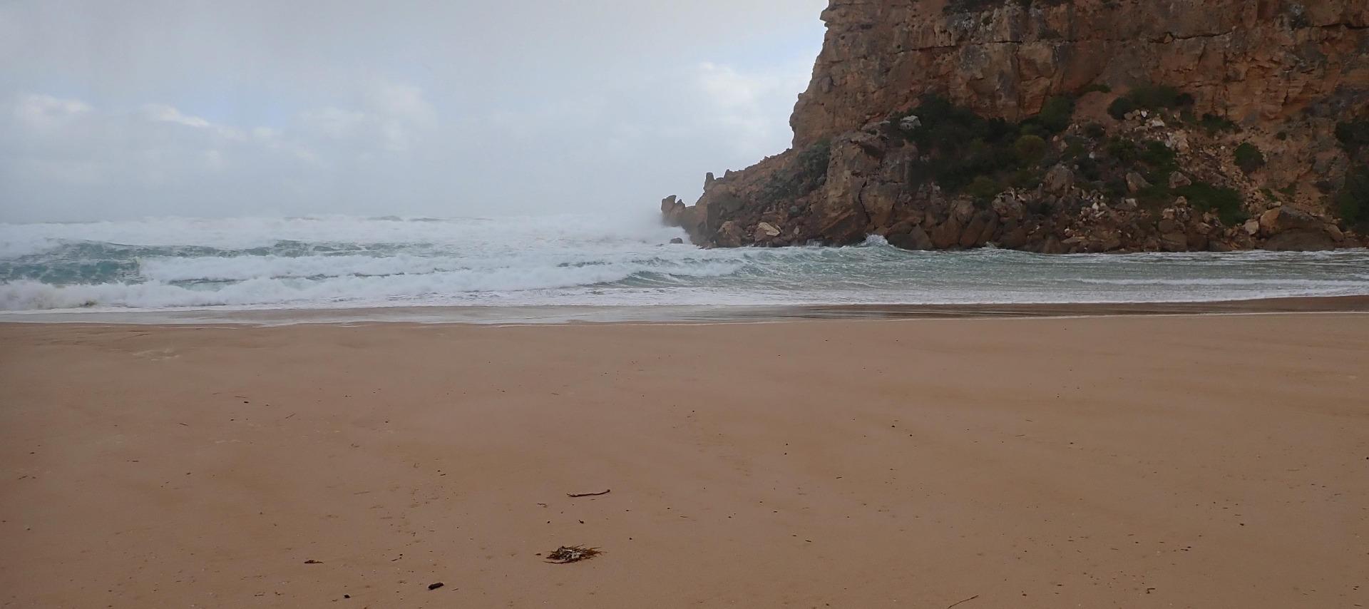 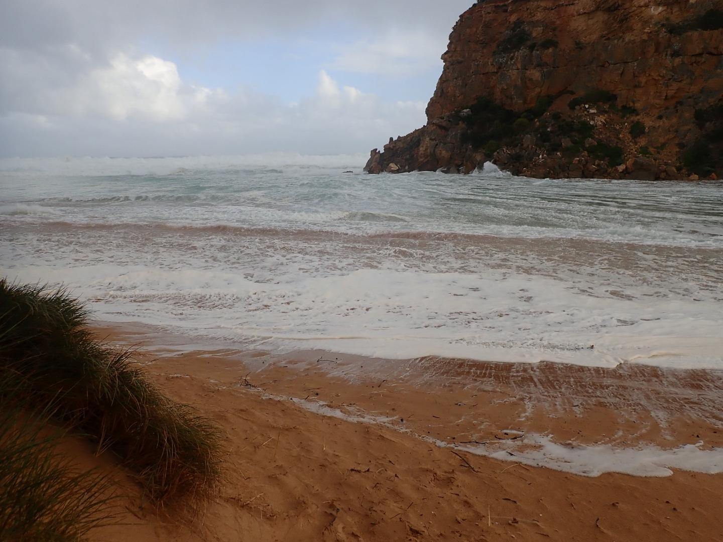 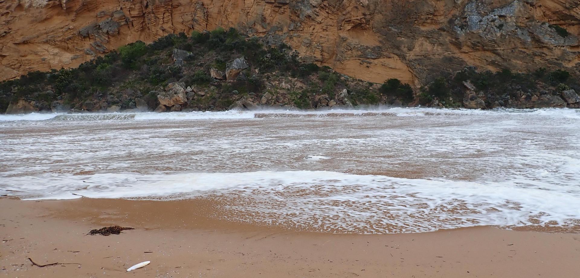 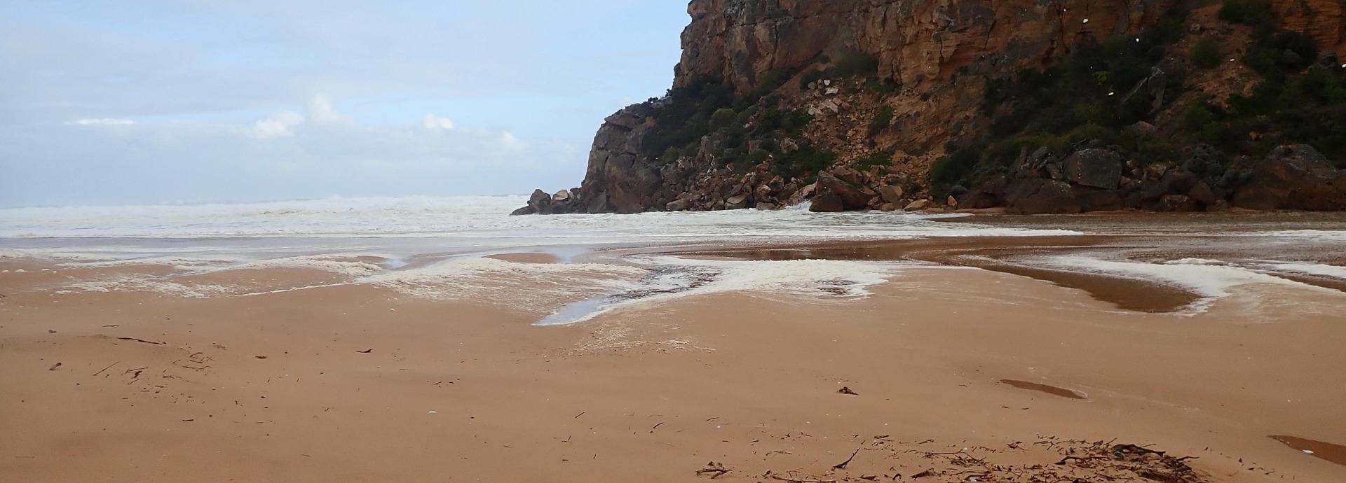 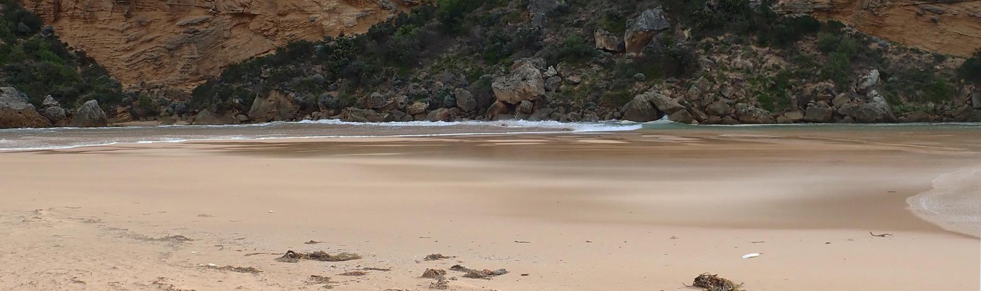 |
|
| #12890 | 25 Apr 2019 | Approved |
Notes:
AHD G6 about 0.78 - board still covered with silt Waves entering across a wide area & travelling down channel into estuary -large amount of green water is visible almost to tunnel entrance & can be seen mixing with darker fresh throughout the estuary. Only salt return occurring over high sand build up in channel. Outflow is very narrow & shallow - often no flow at all. Waves going very high up all along beach & entering very wide at mouth. At 15:50 a very strong longshore drift was visible going across entrance -impacting on west cliff & sending strong waves up channel 1 dead Gannet on beach near entrance & about 10 others feeding in area around the ocean sandbar. 2 dark grey Pacific gulls feeding in estuary |
|


All content, files, data and images provided by the EstuaryWatch Data Portal and Gallery are subject to a Creative Commons Attribution License
Content is made available to be used in any way, and should always attribute EstuaryWatch and www.estuarywatch.org.au