EstuaryWatch Data Portal
CuMC Curdies Mouth Condition
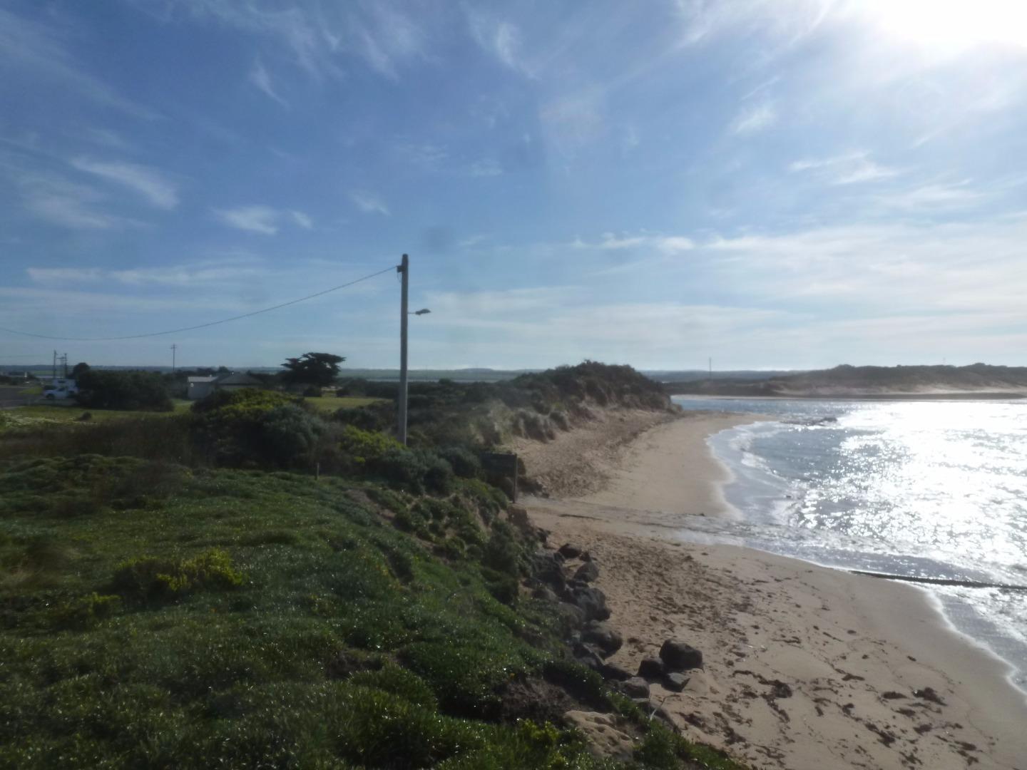
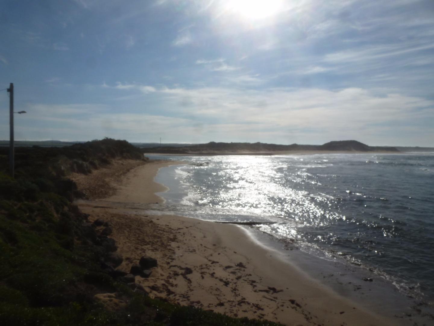
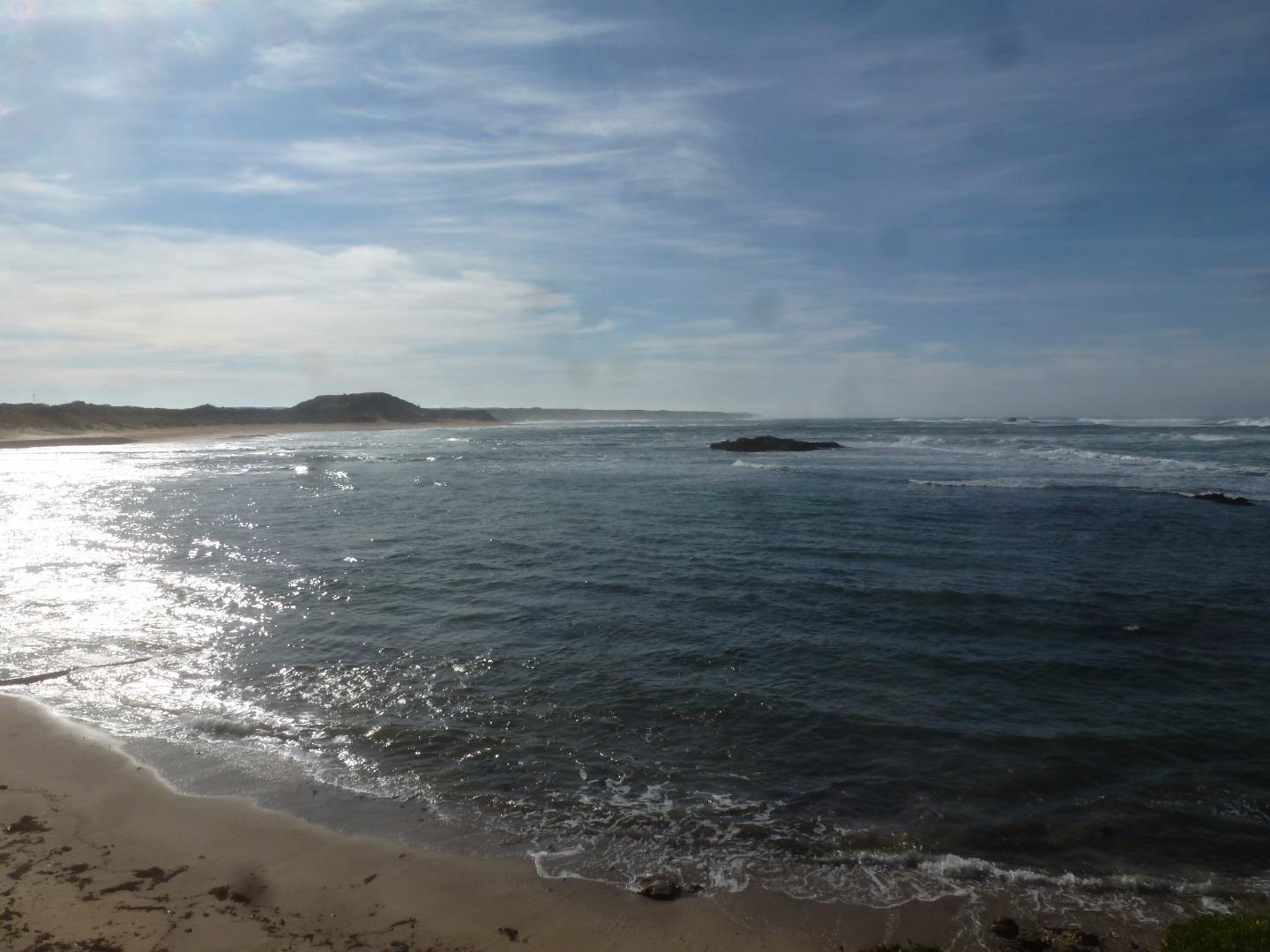
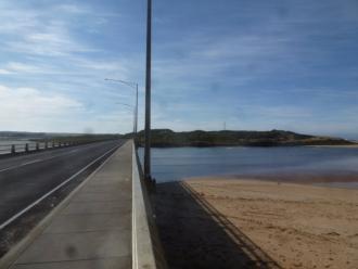
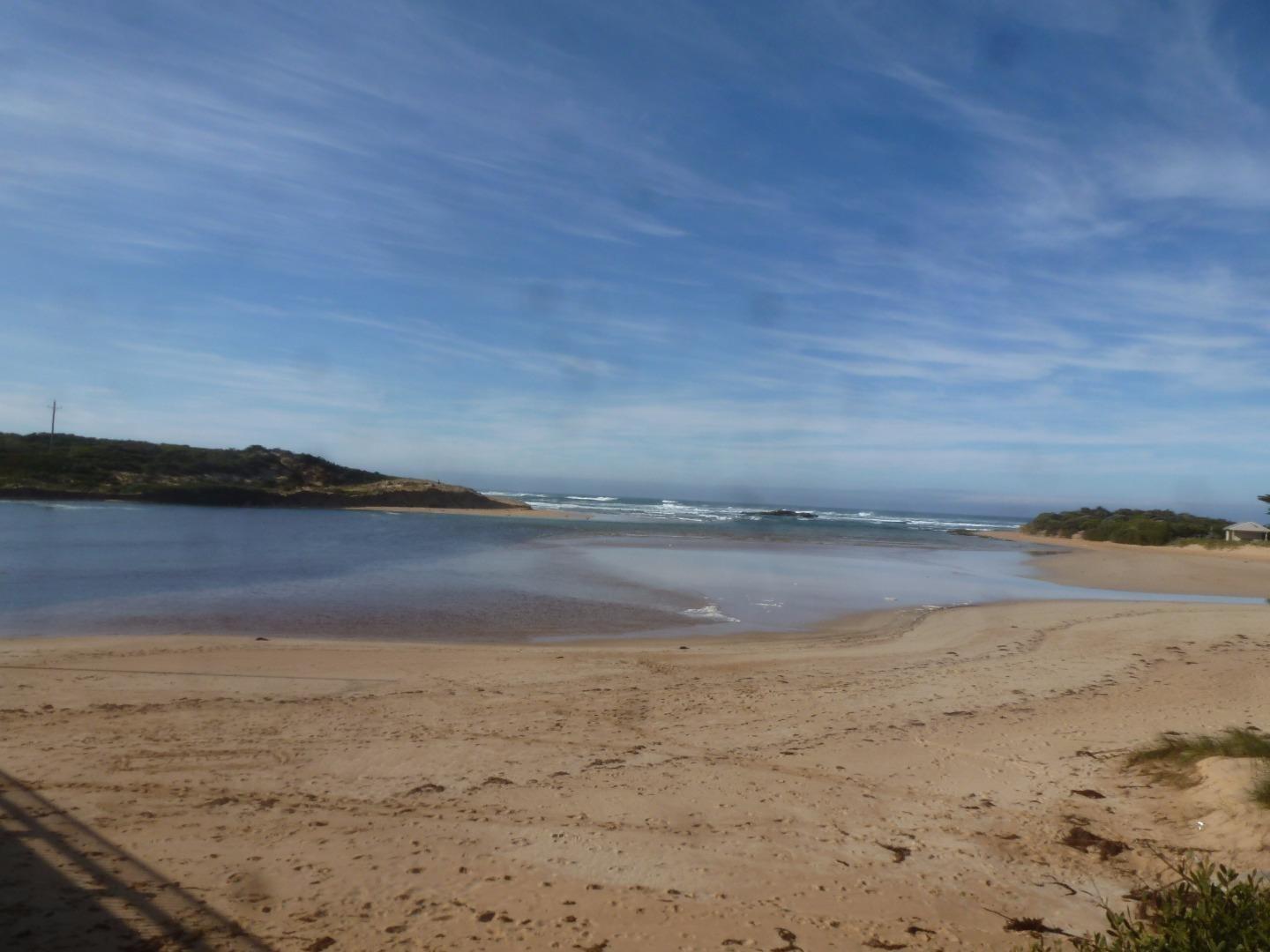
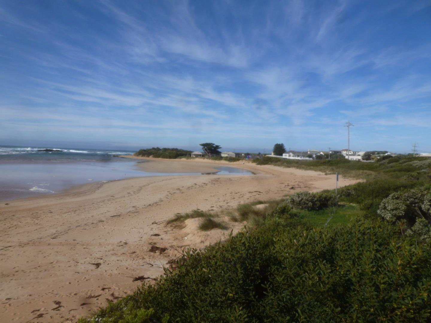
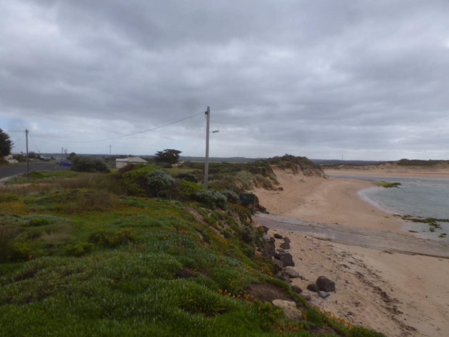
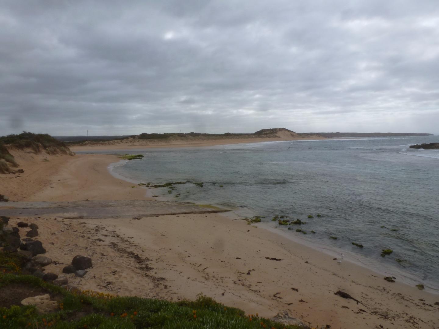
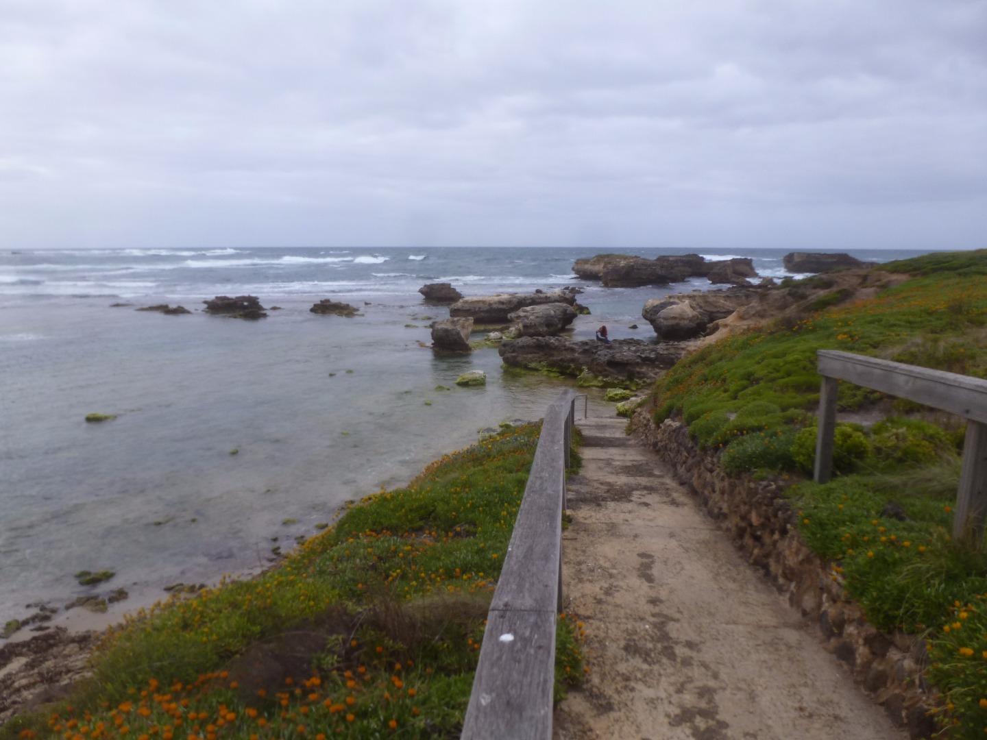
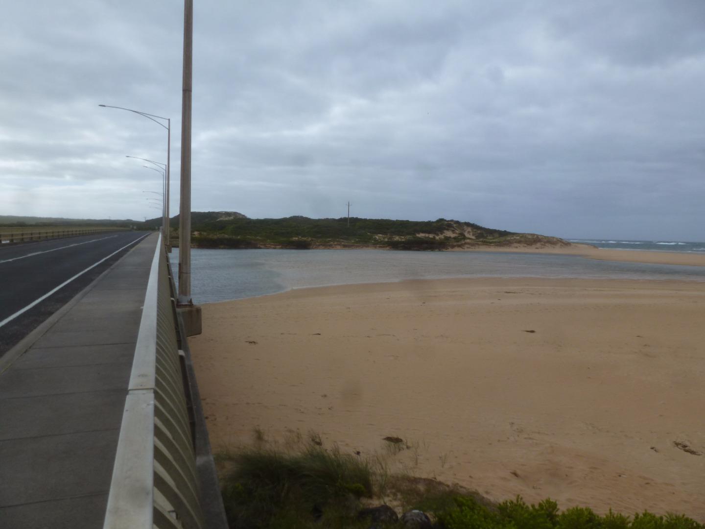
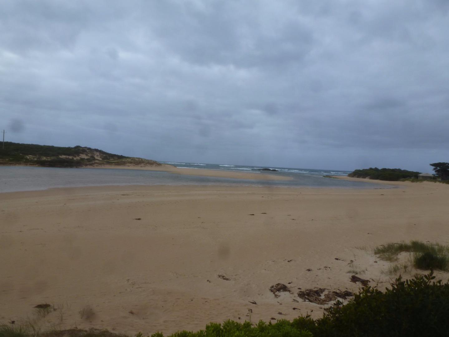
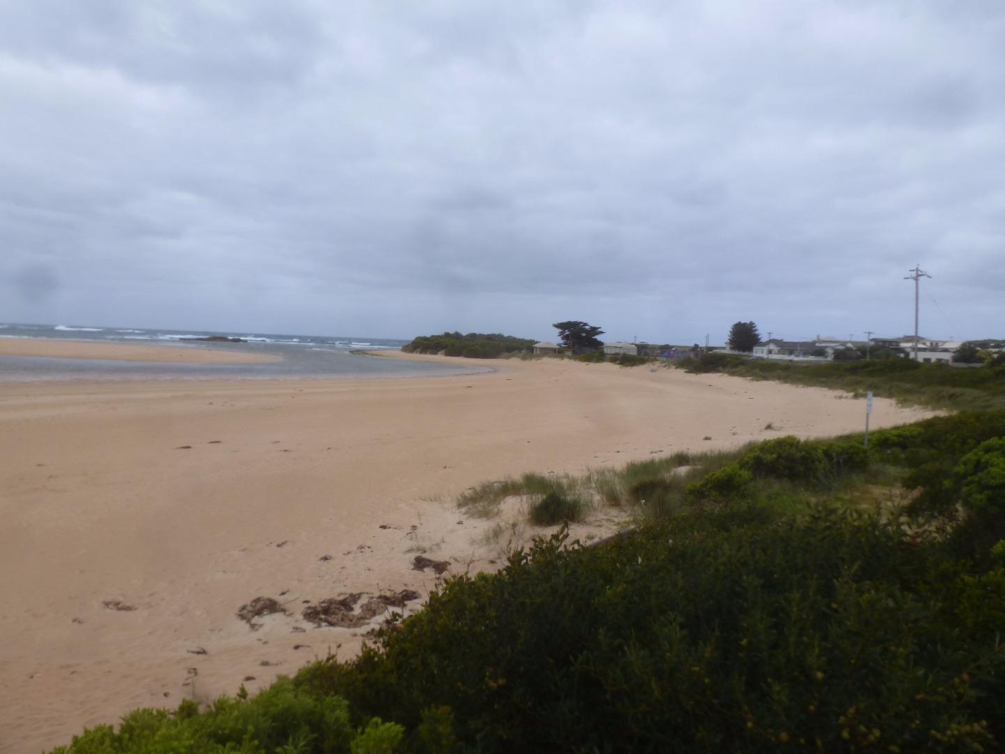
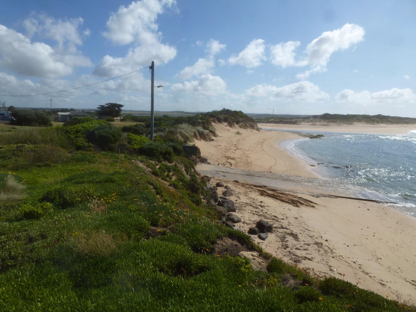
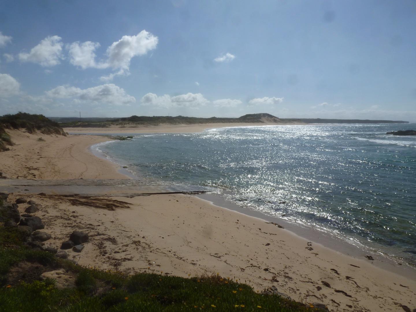
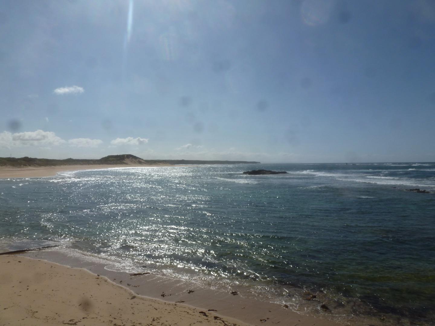
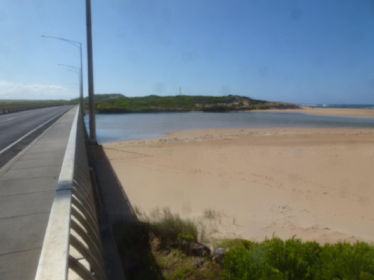
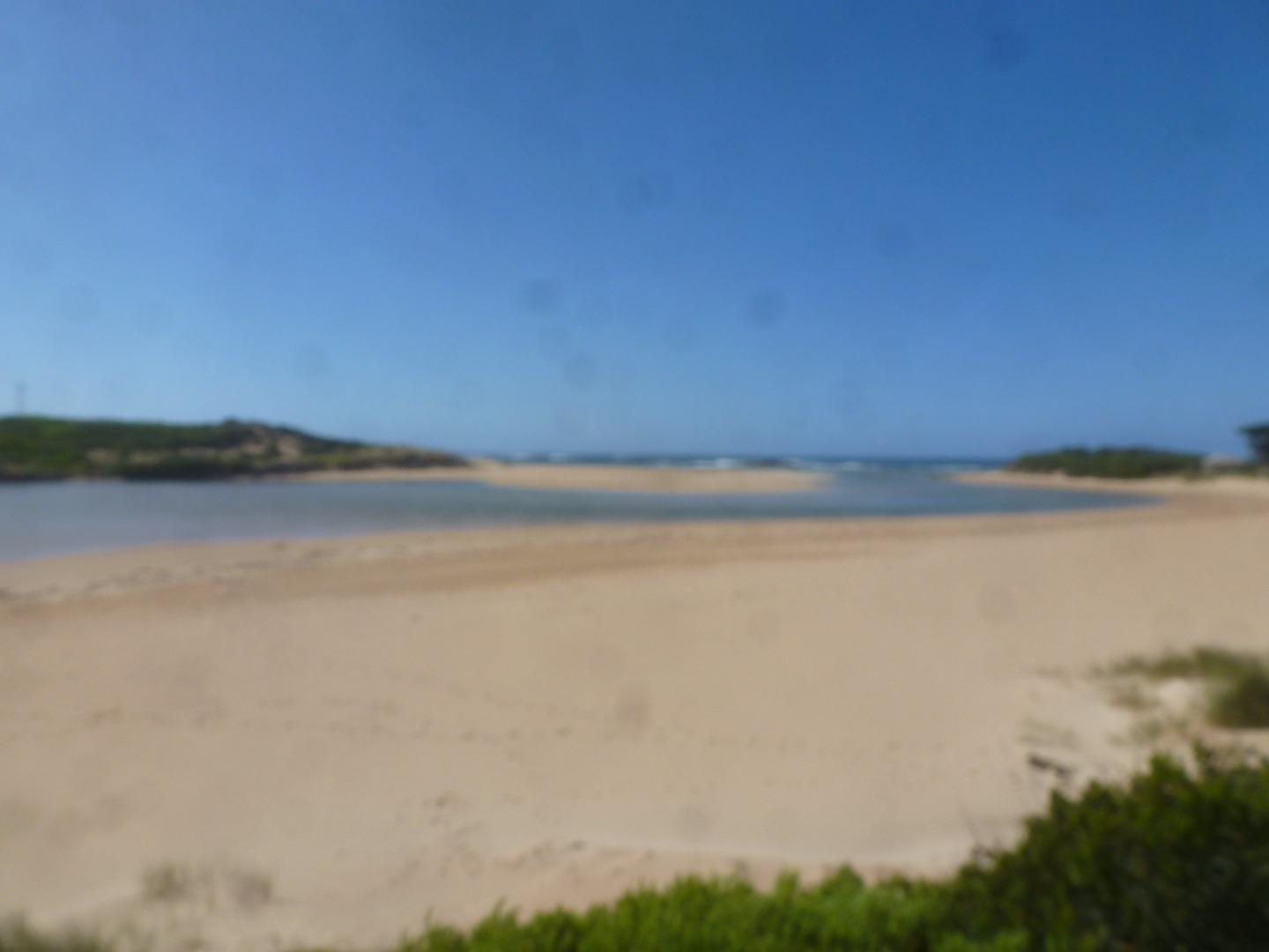
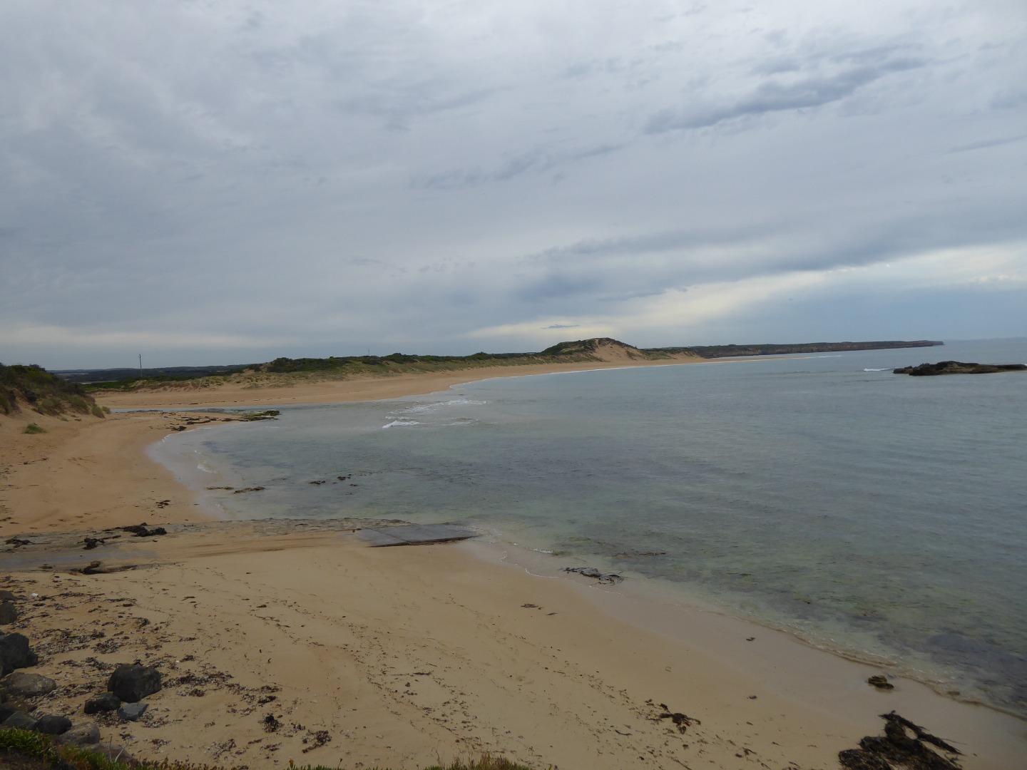
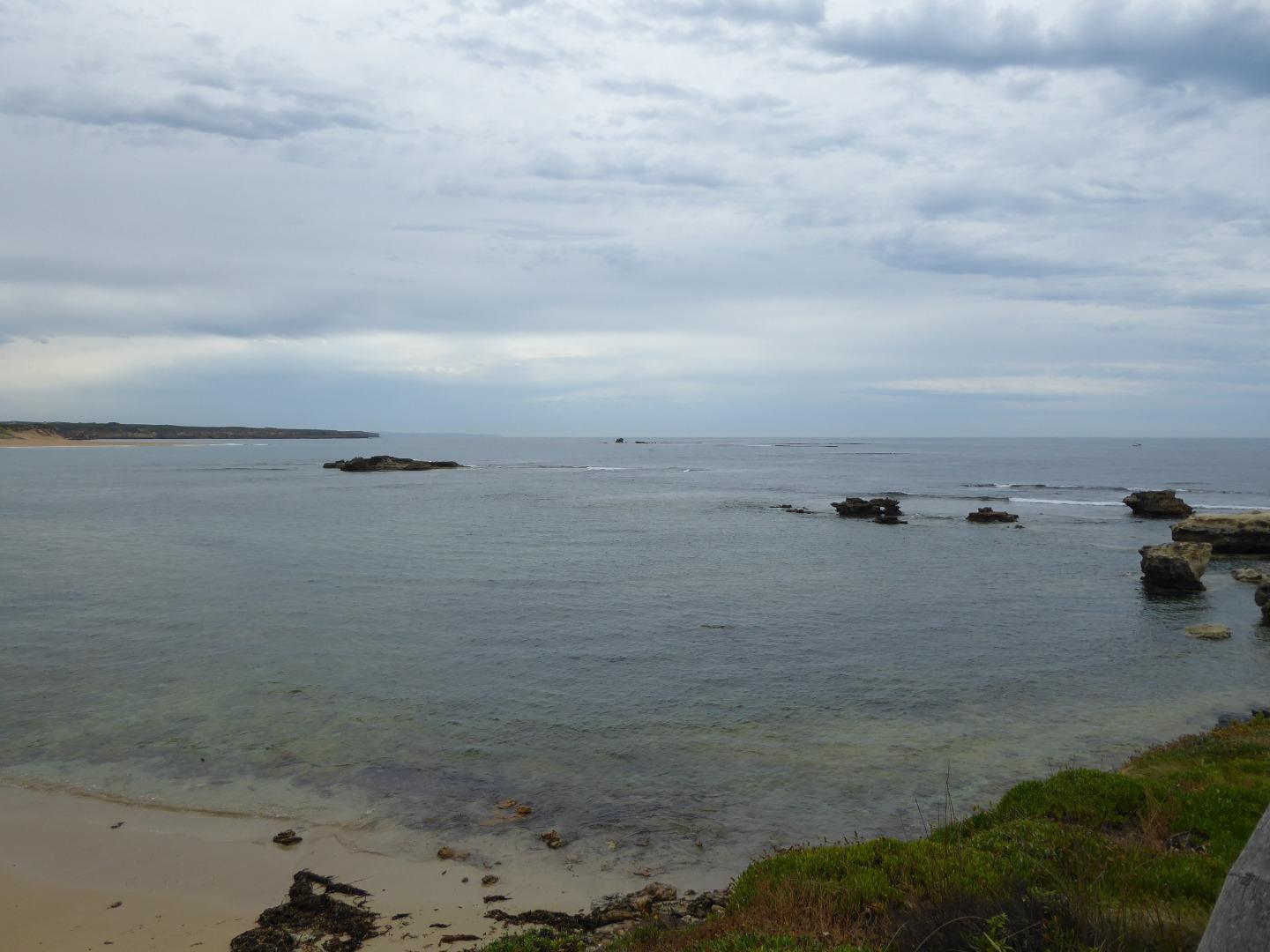
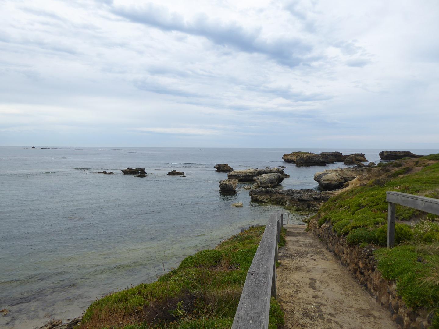
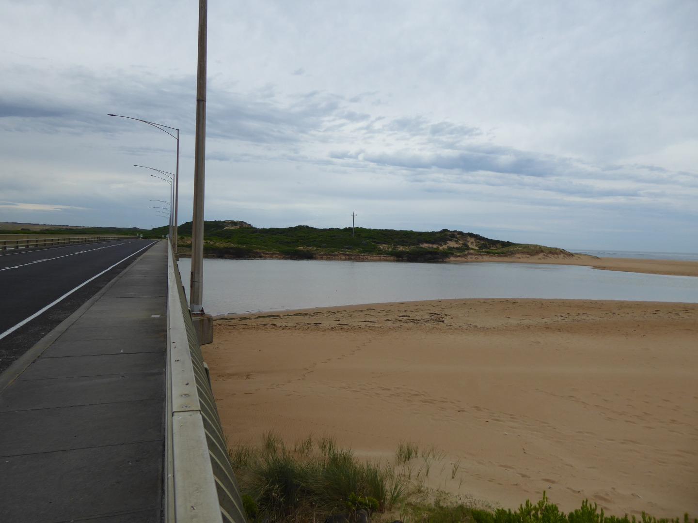
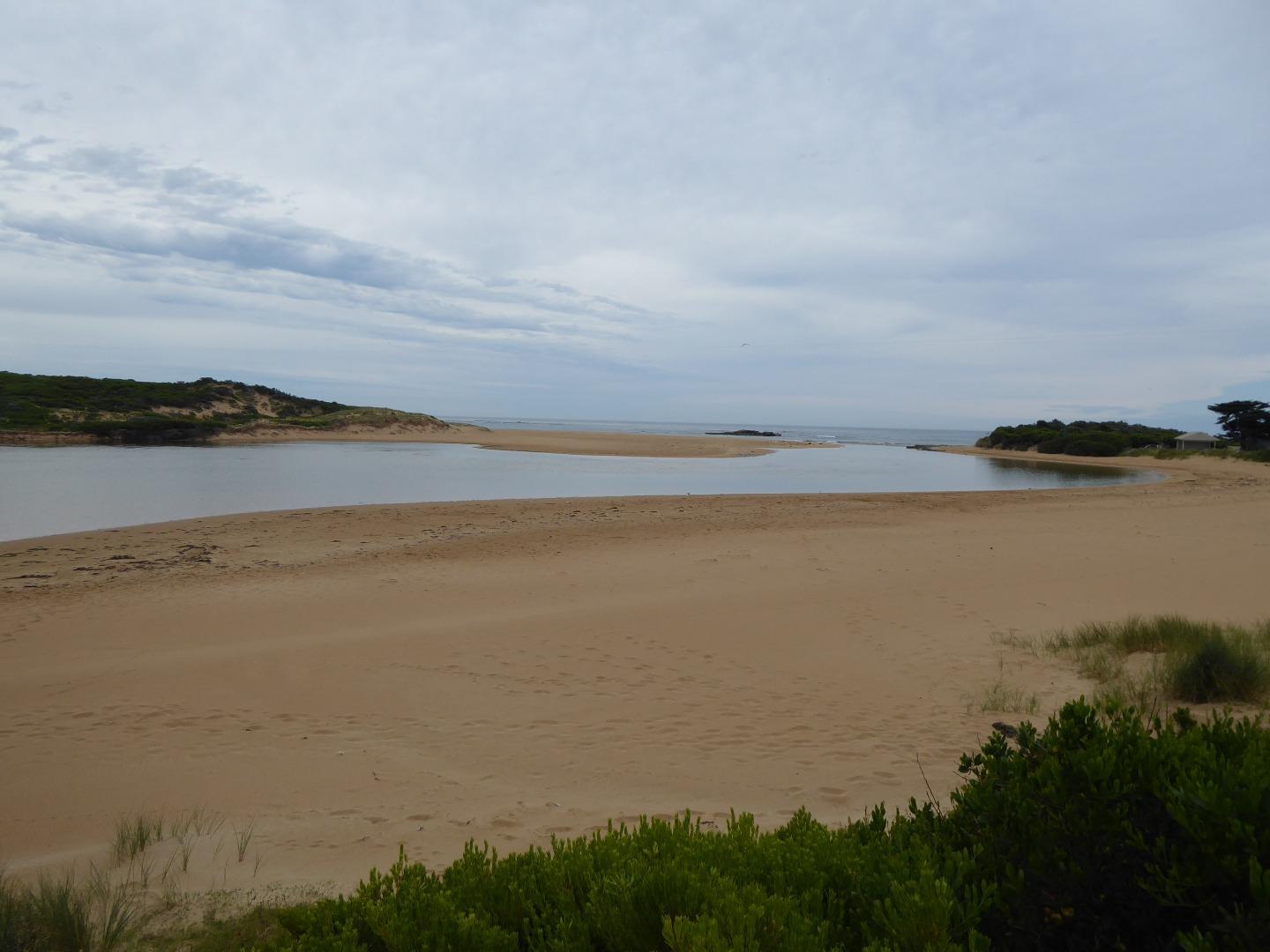
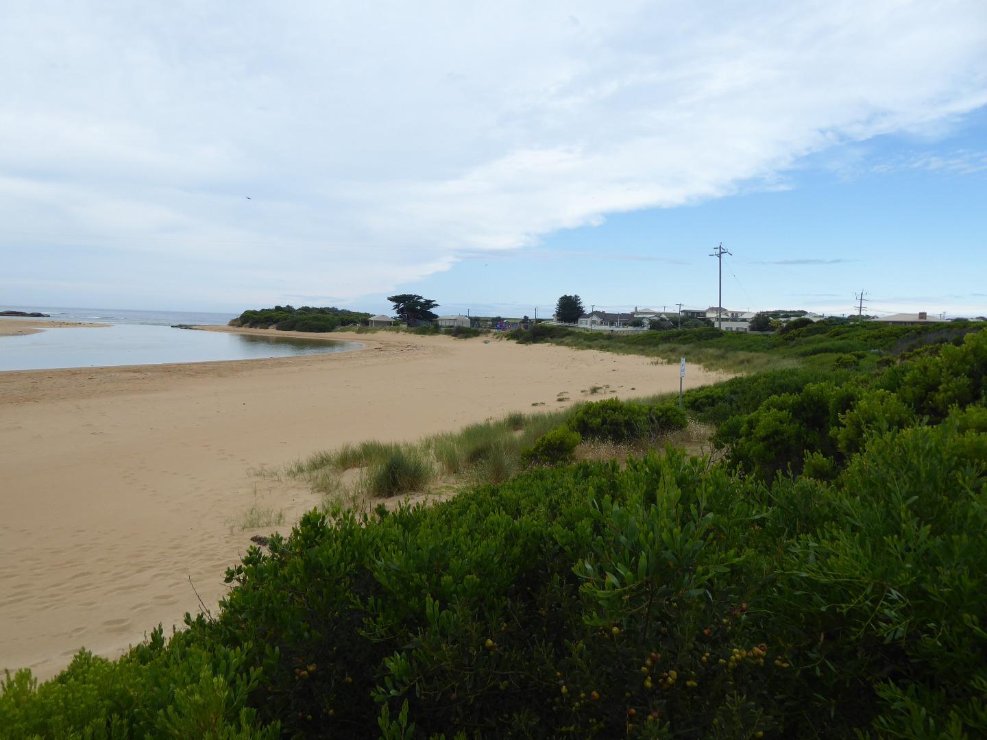
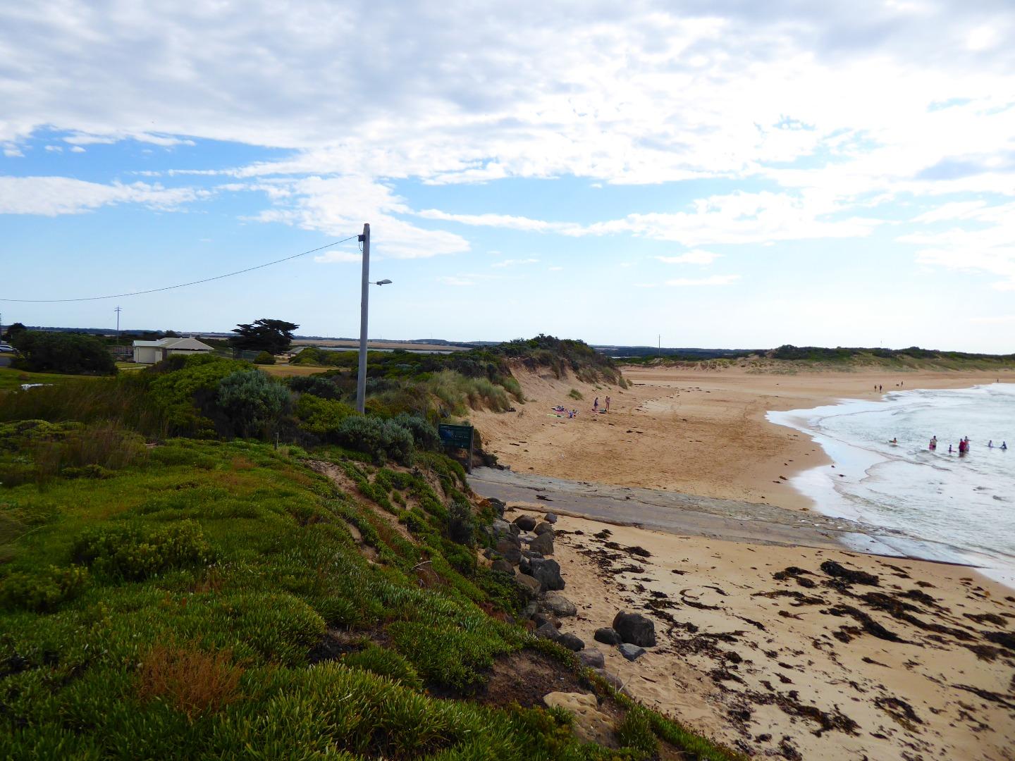
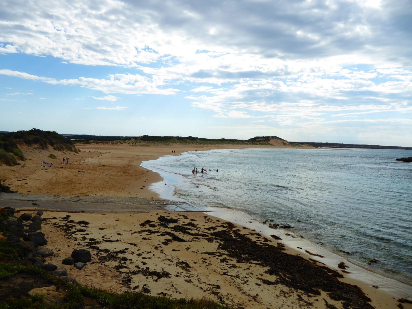
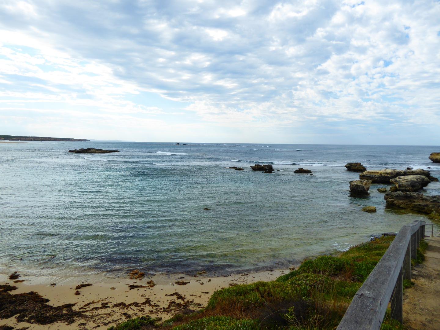
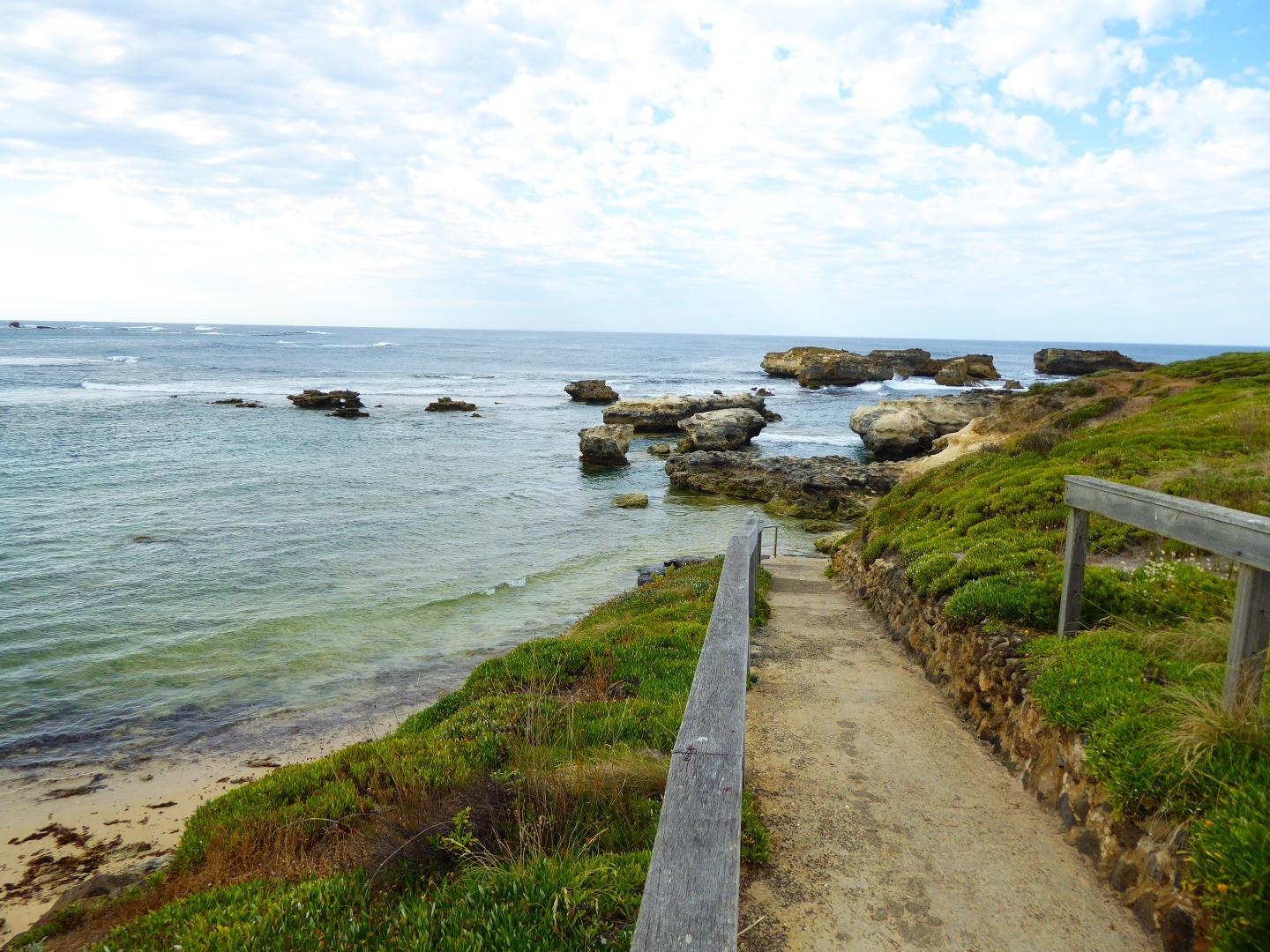
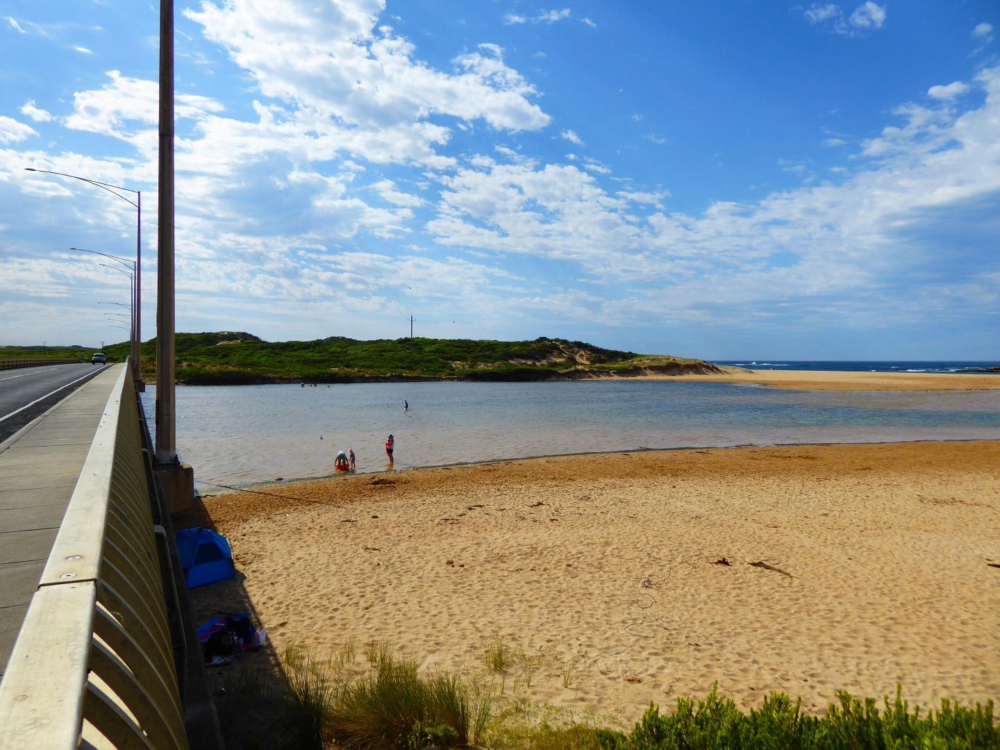
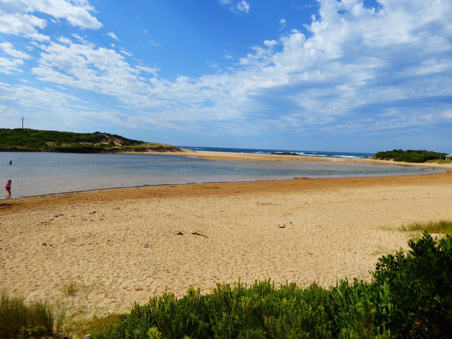
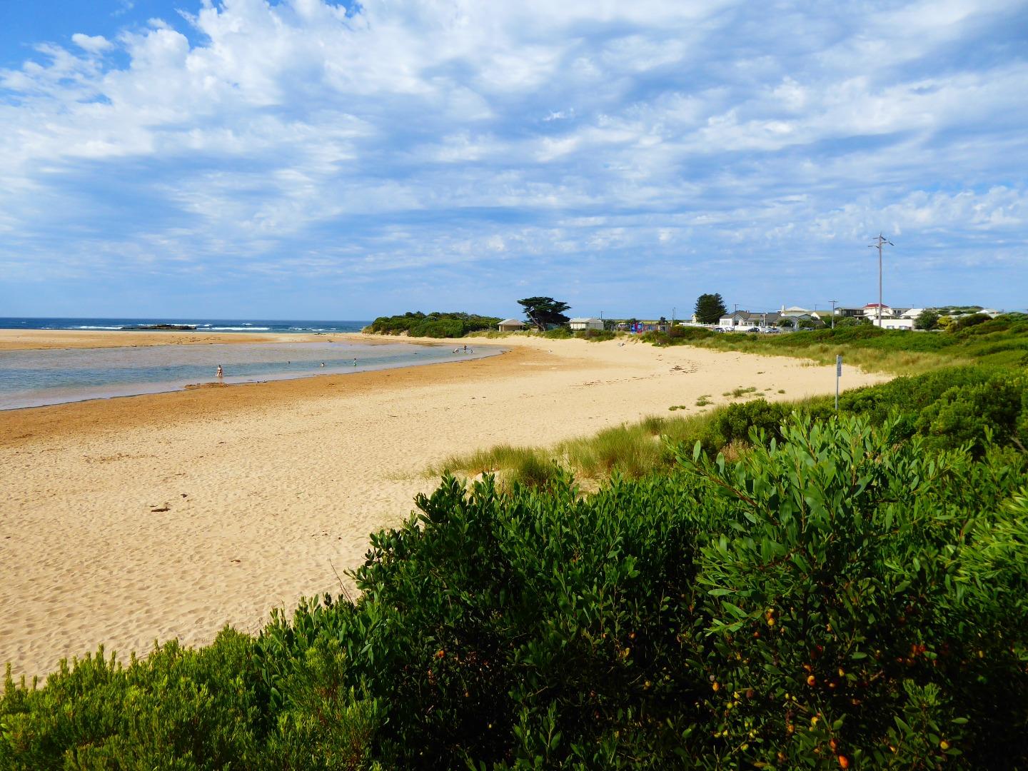
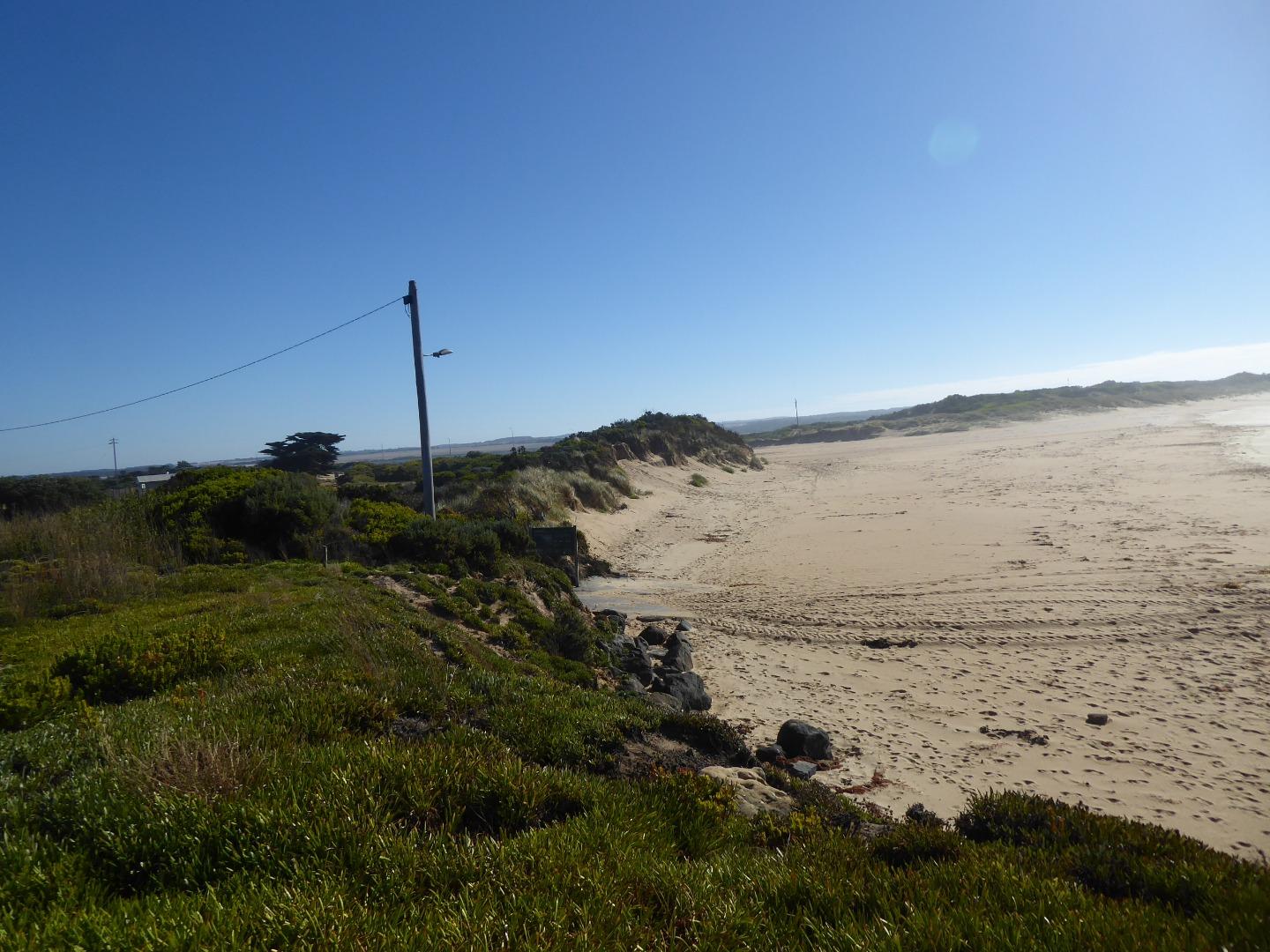
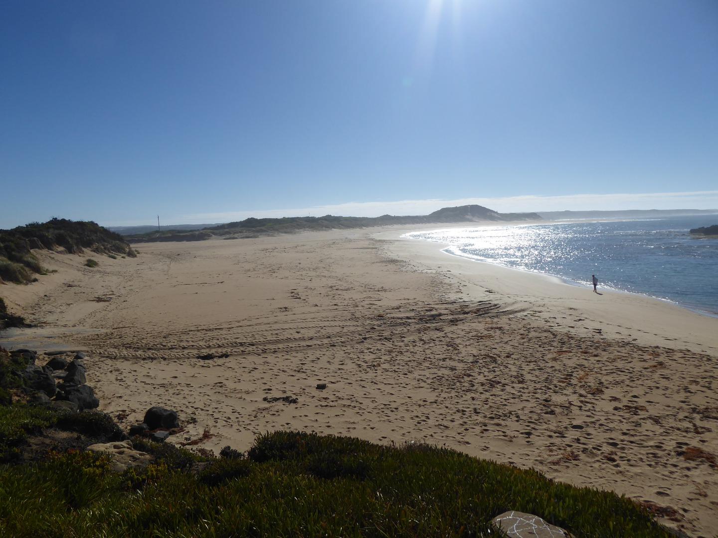
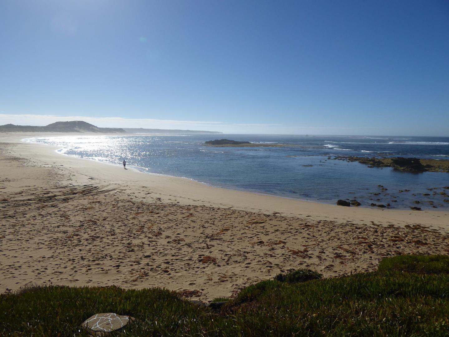
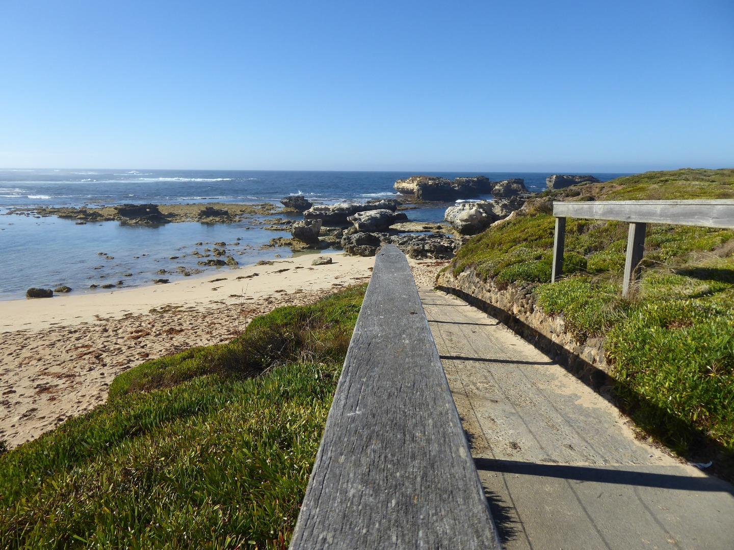
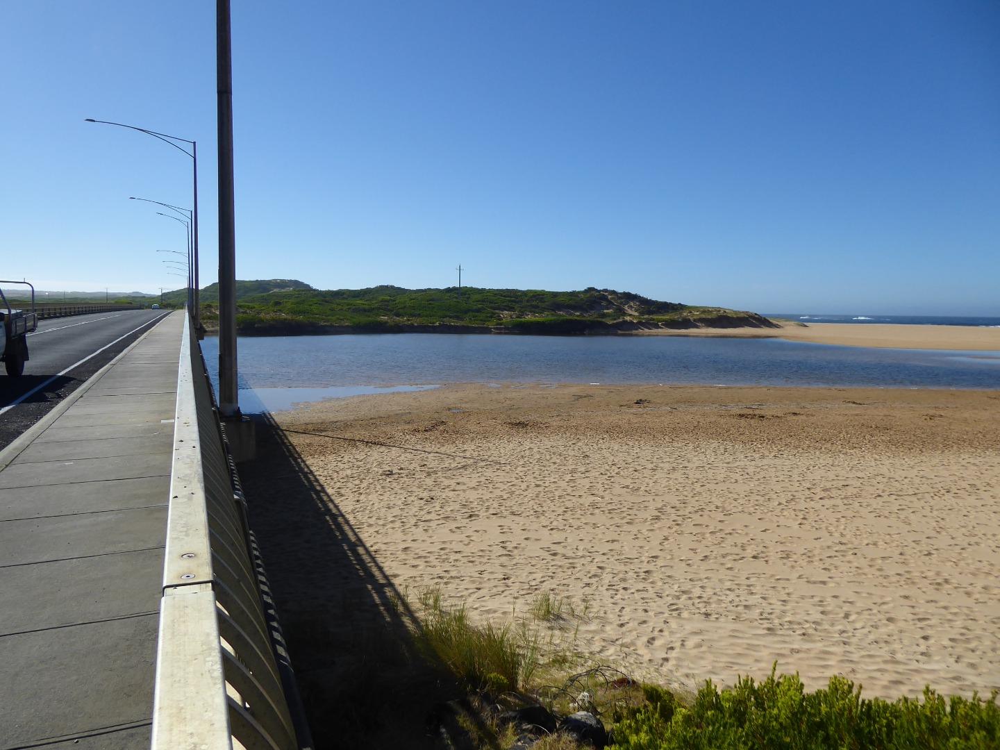
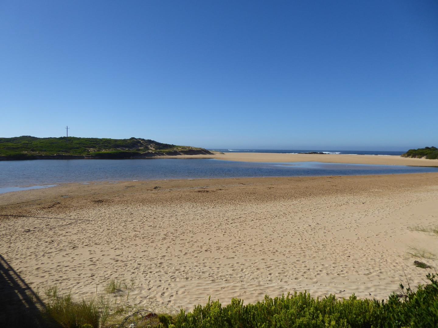
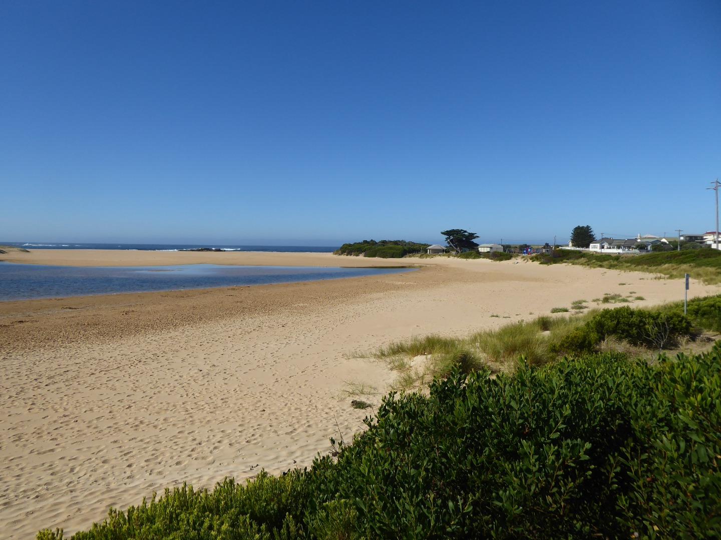
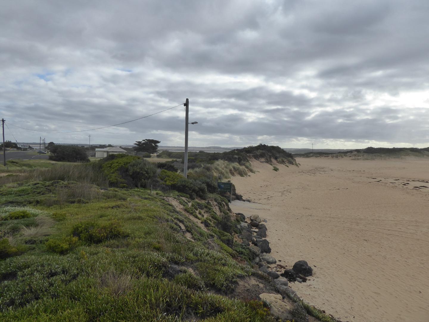
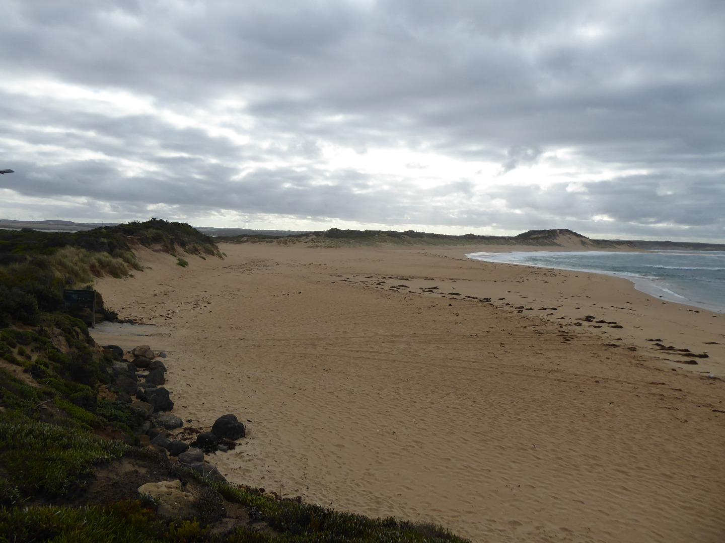
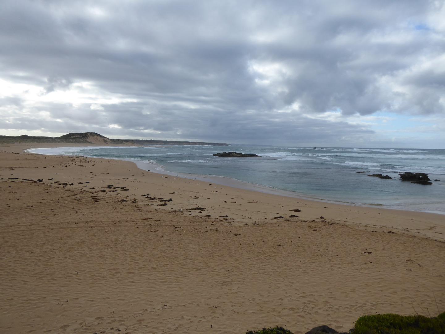
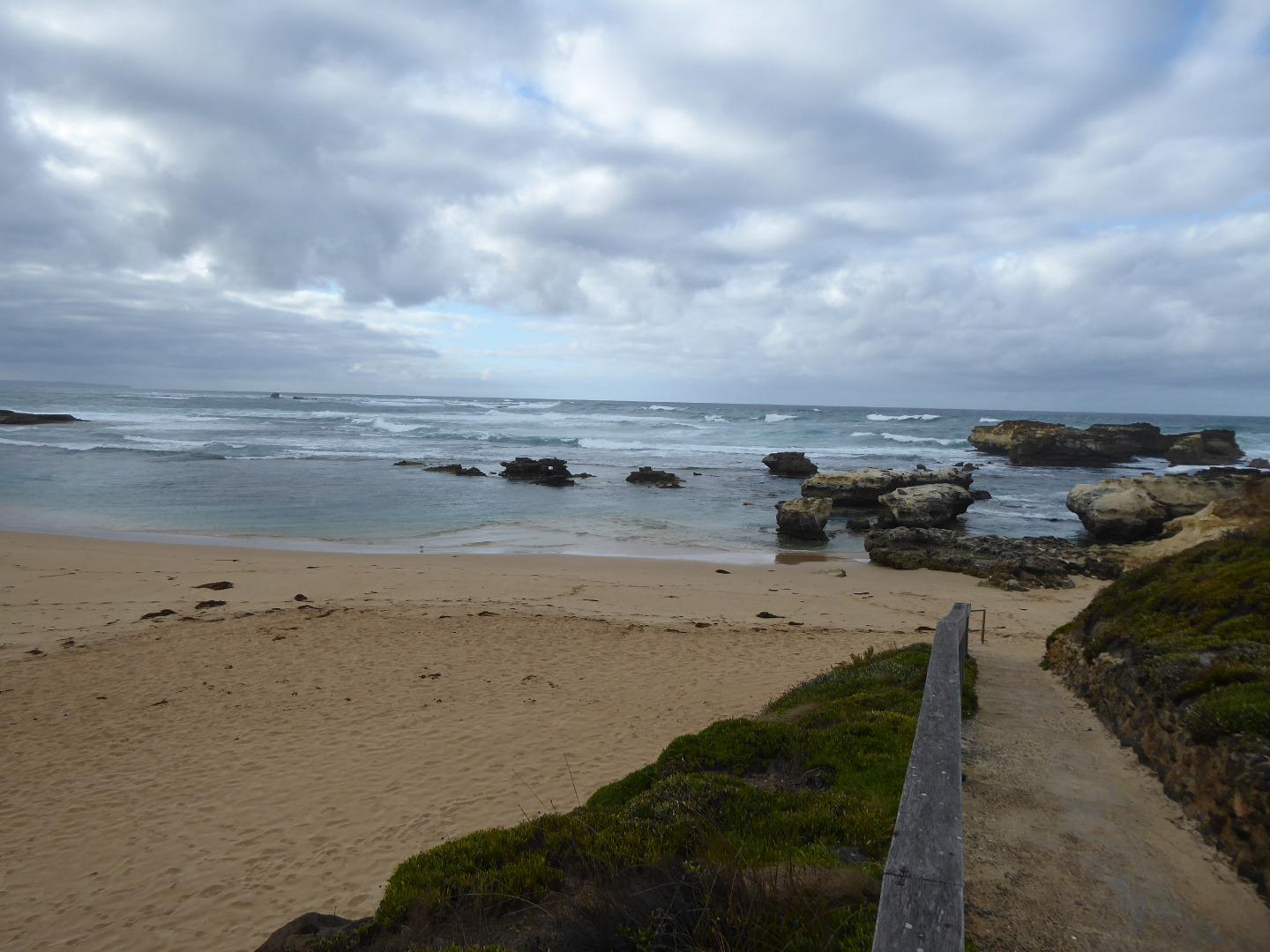
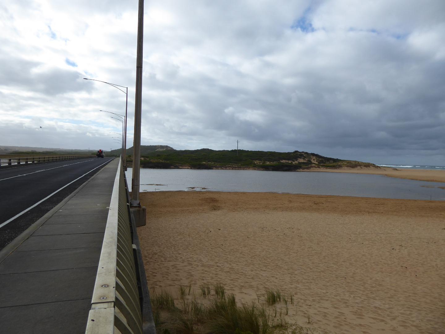
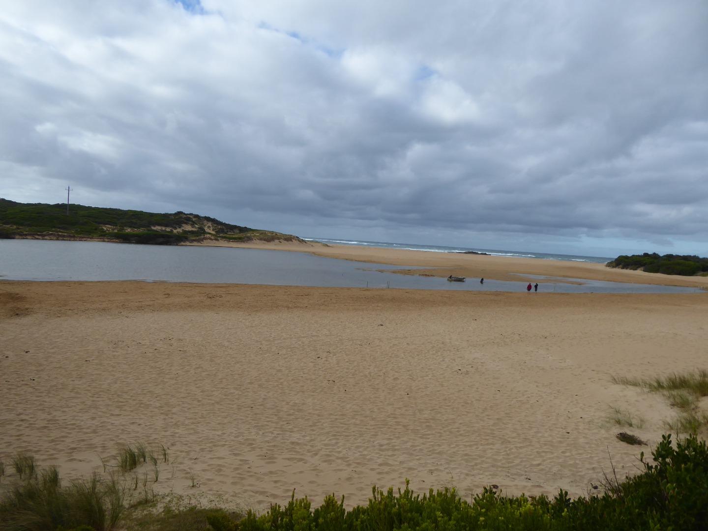
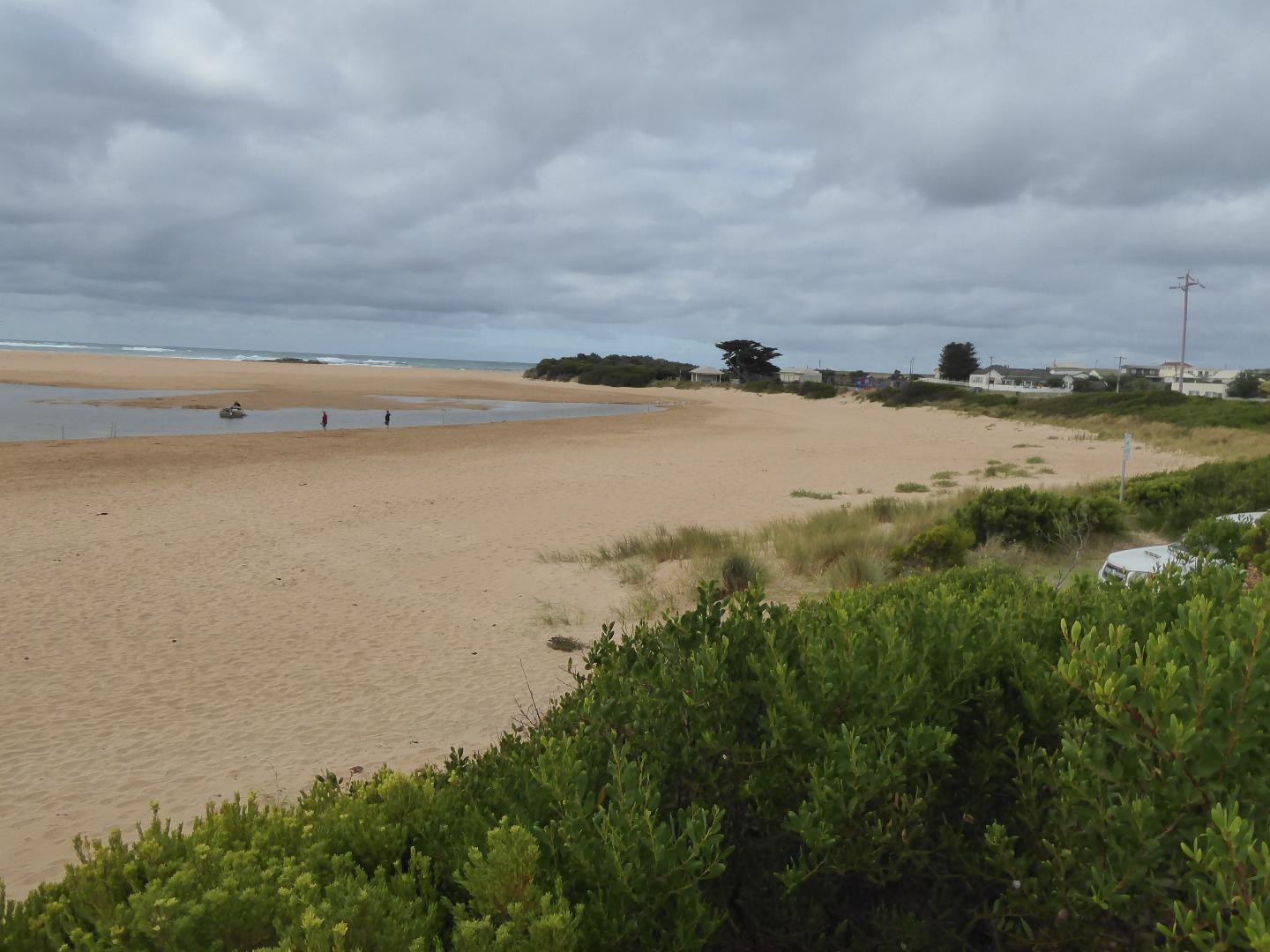
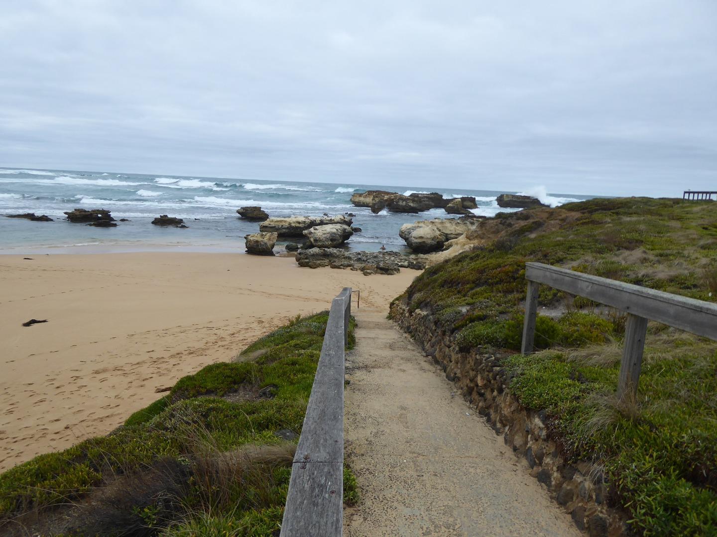
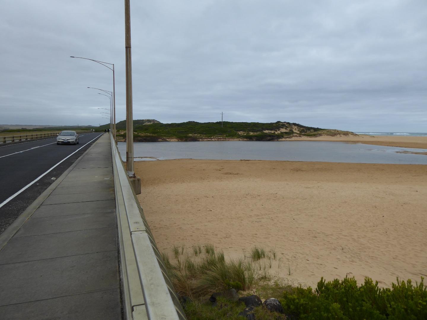
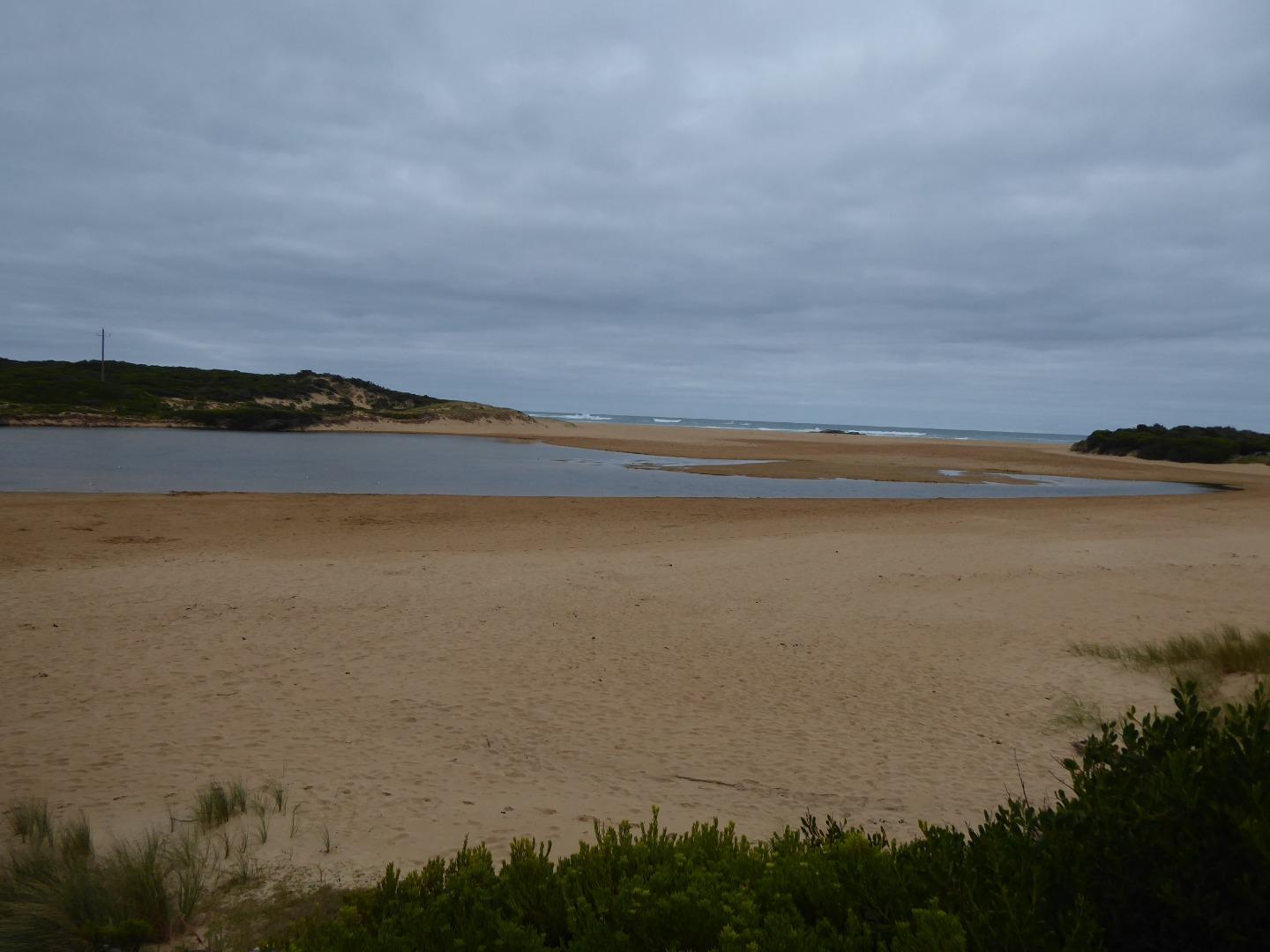
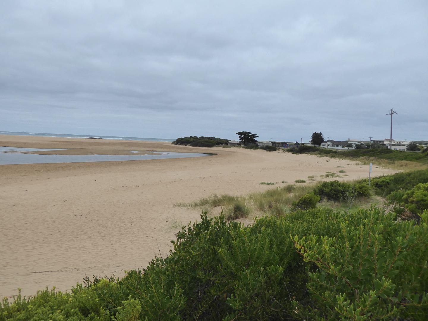
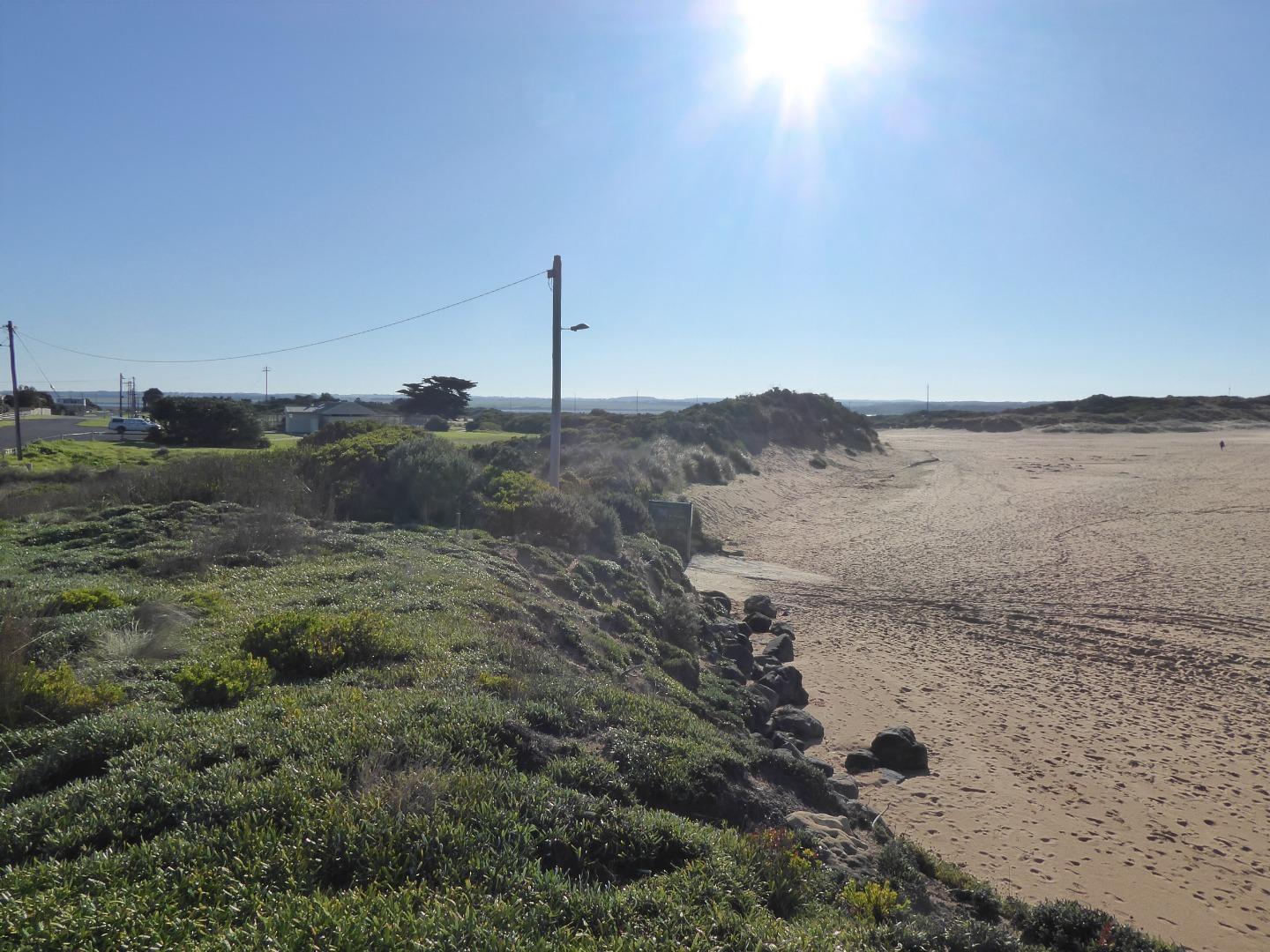
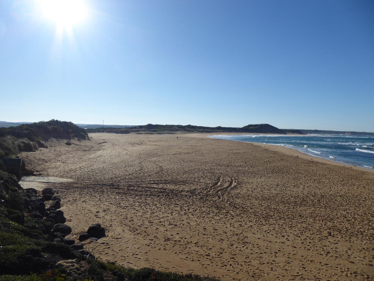
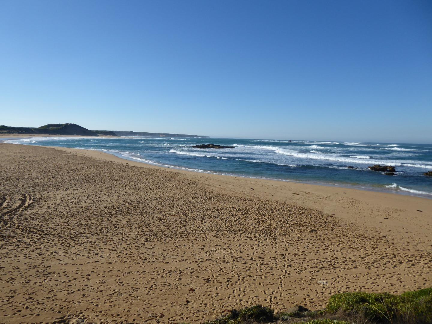
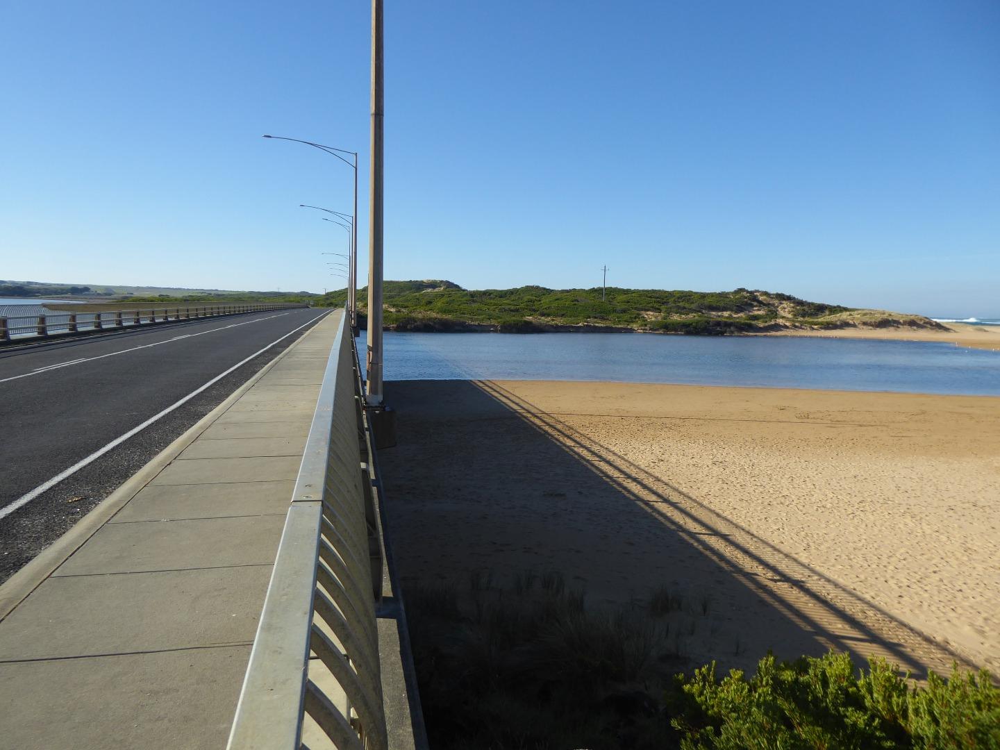
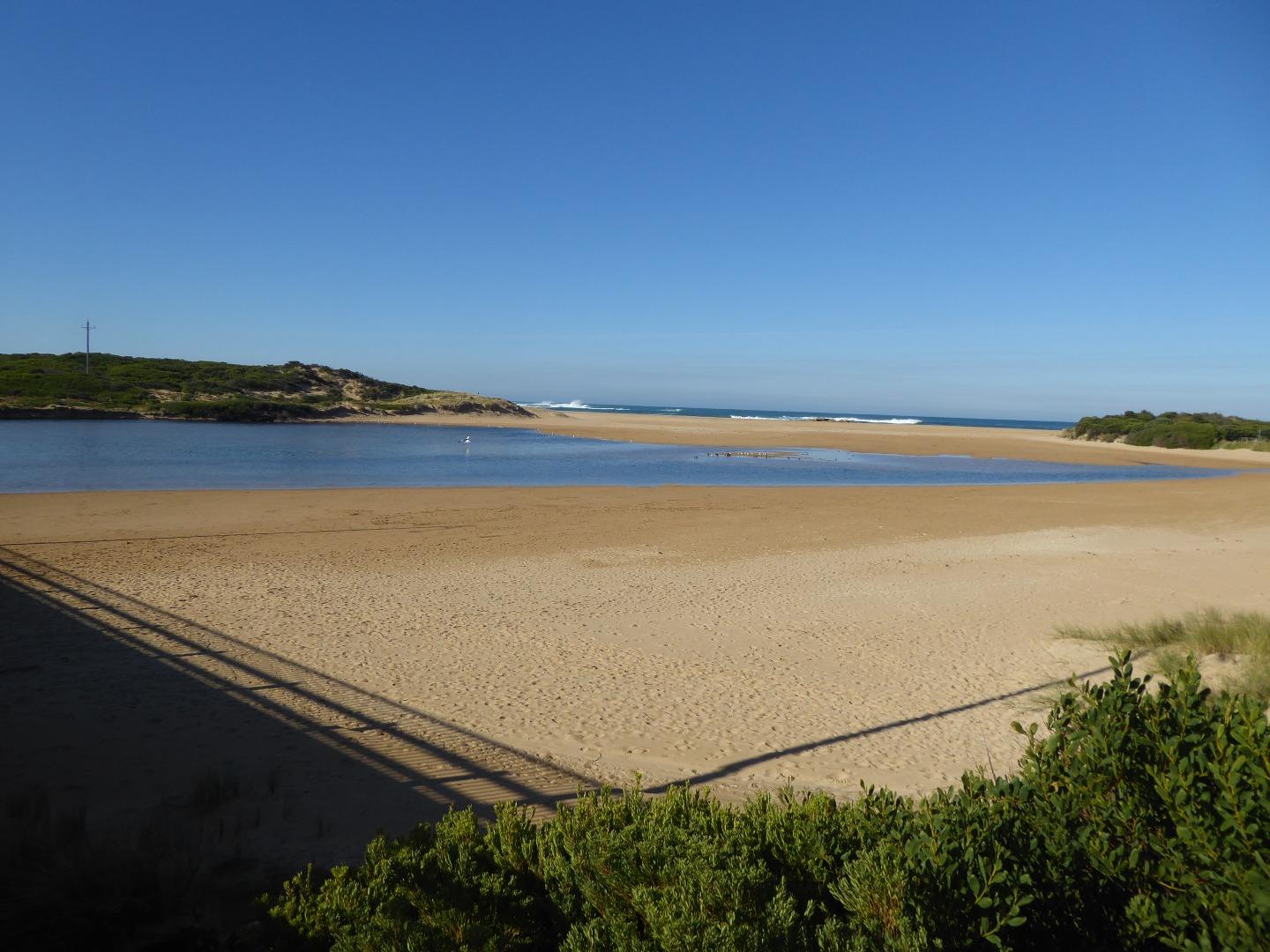
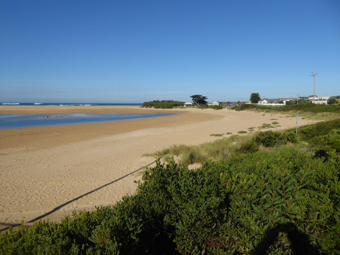
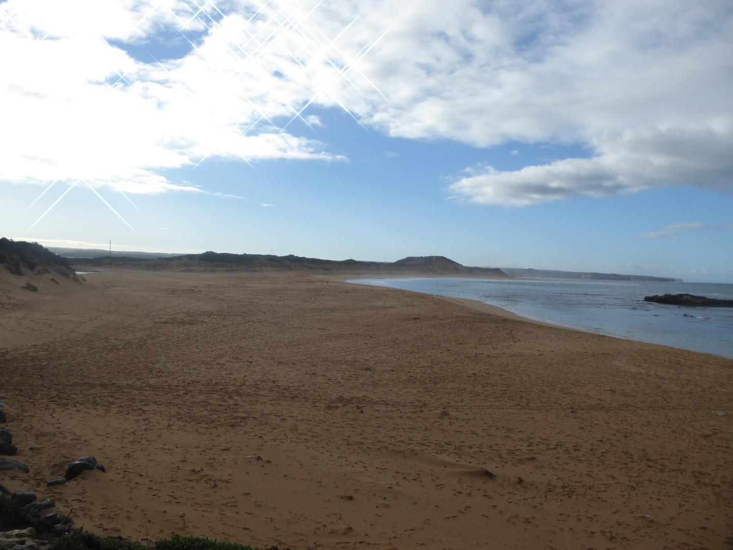
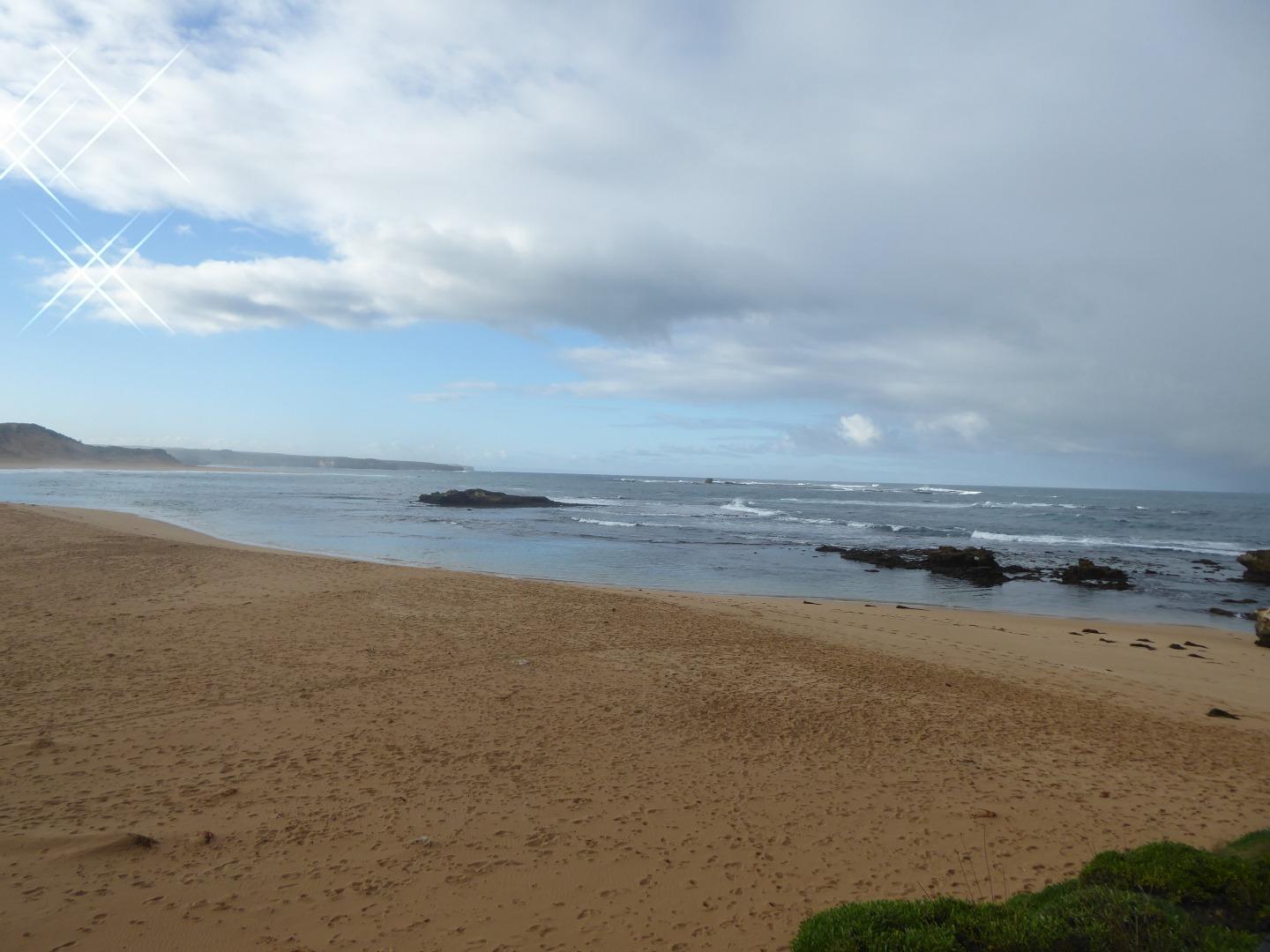
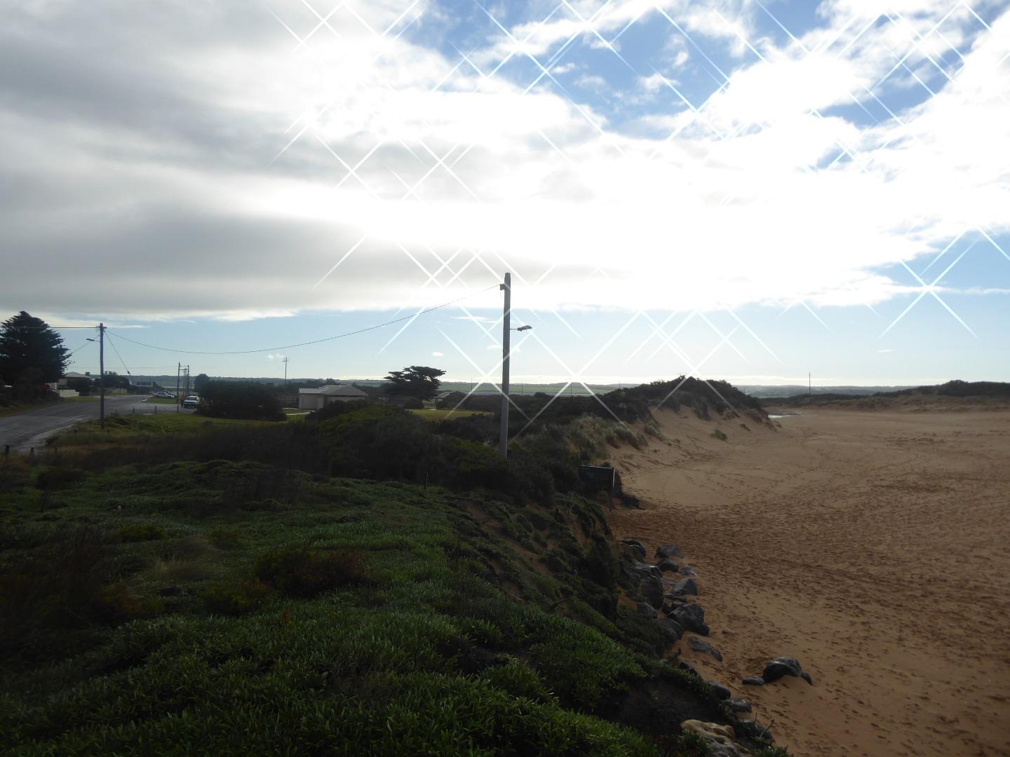
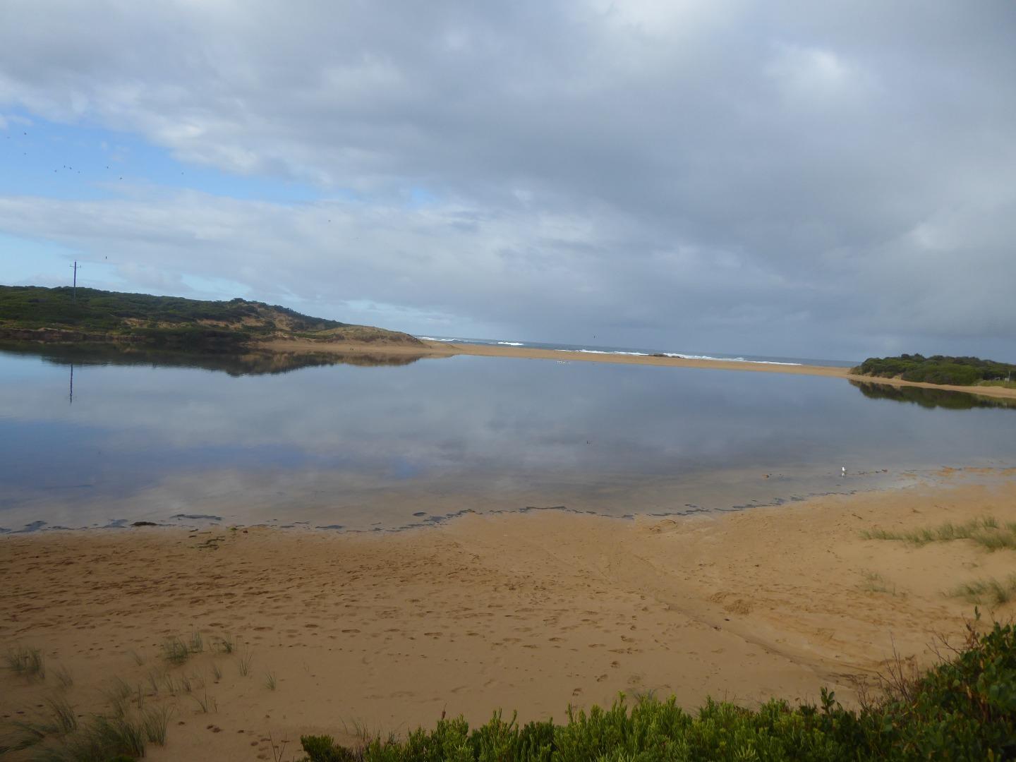
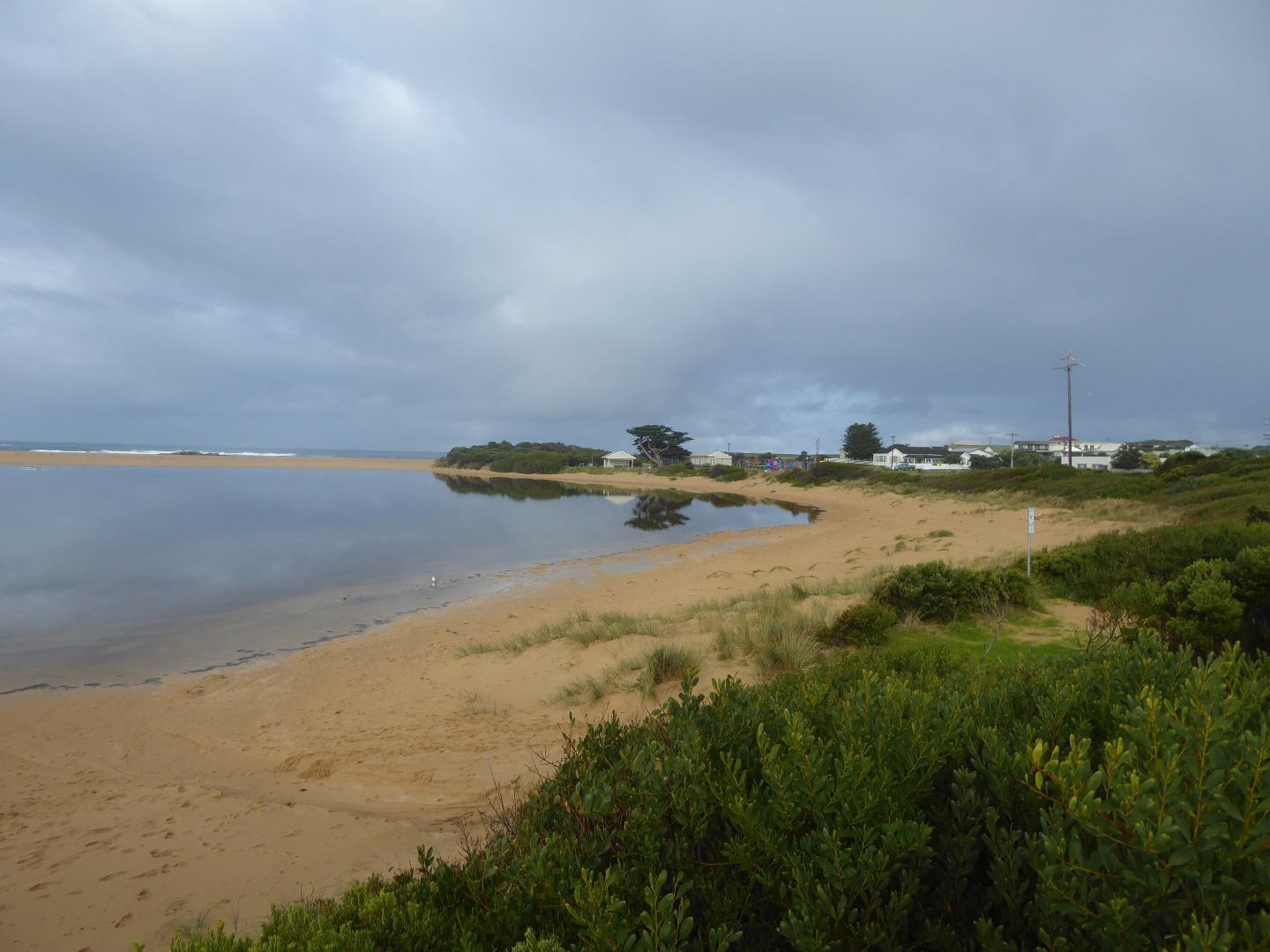
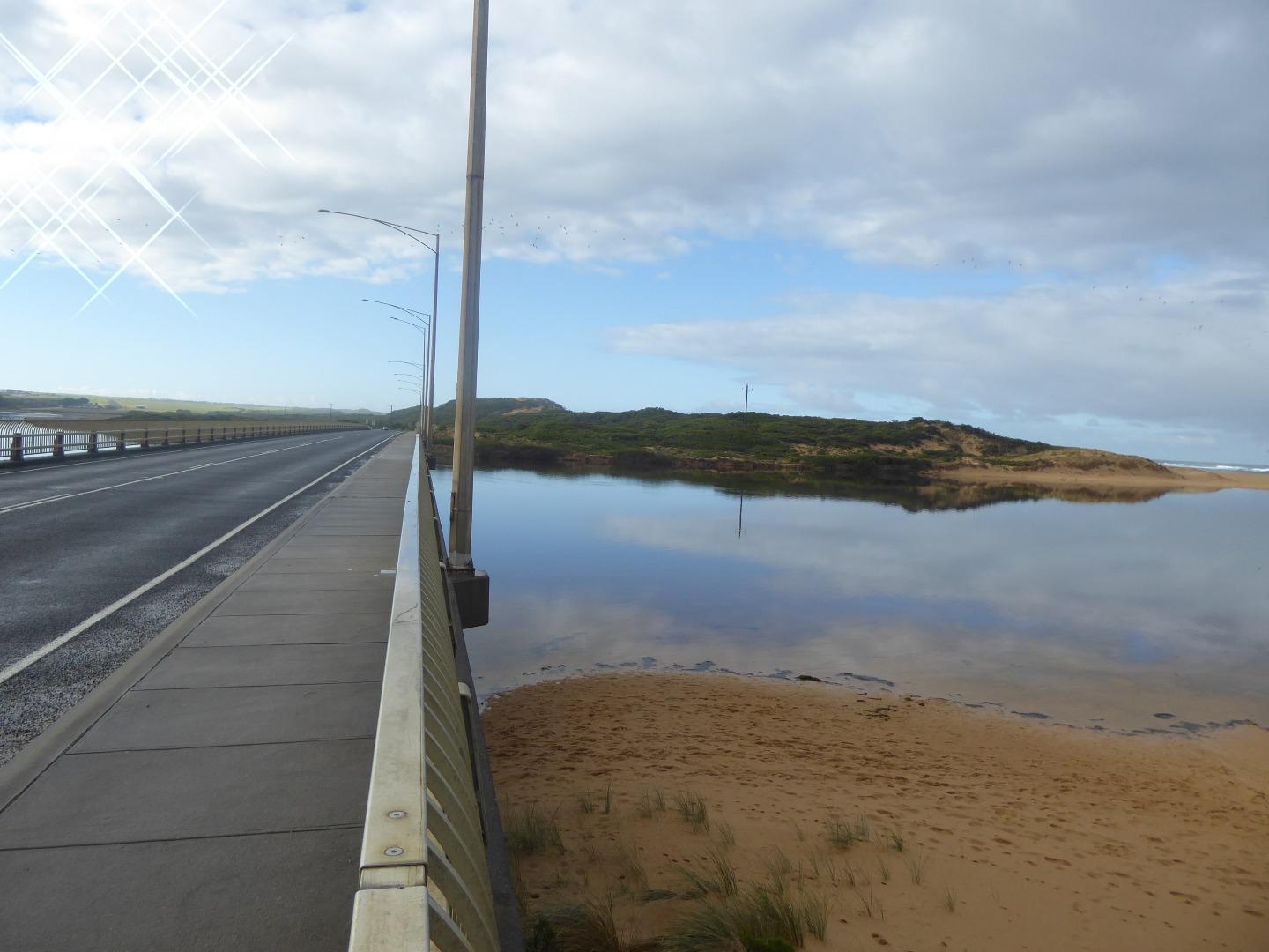
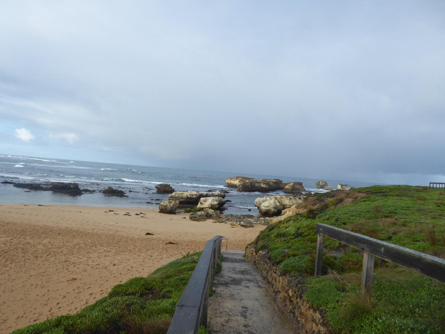
Active Mouth Condition 21-02-2014 - 02-04-2024Curdies River Estuary
156 results found (Displaying 51 - 60)
| ID | Date | Status | Details | |
|---|---|---|---|---|
| #11482 | 3 Oct 2017 | Approved |
Notes:
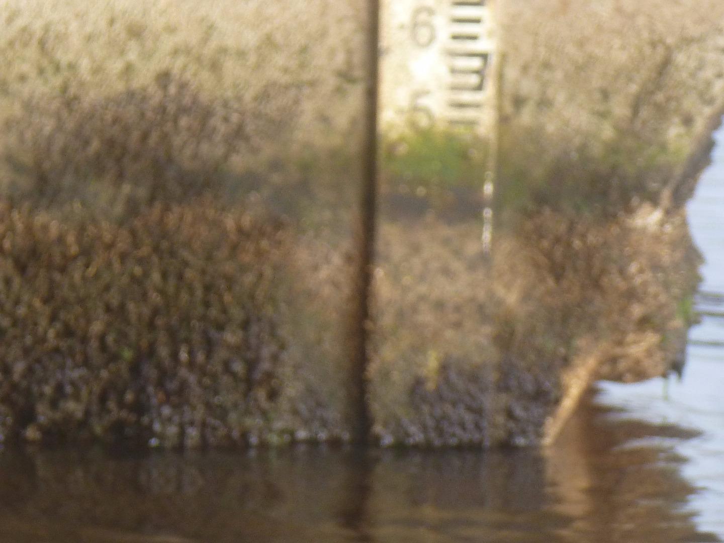
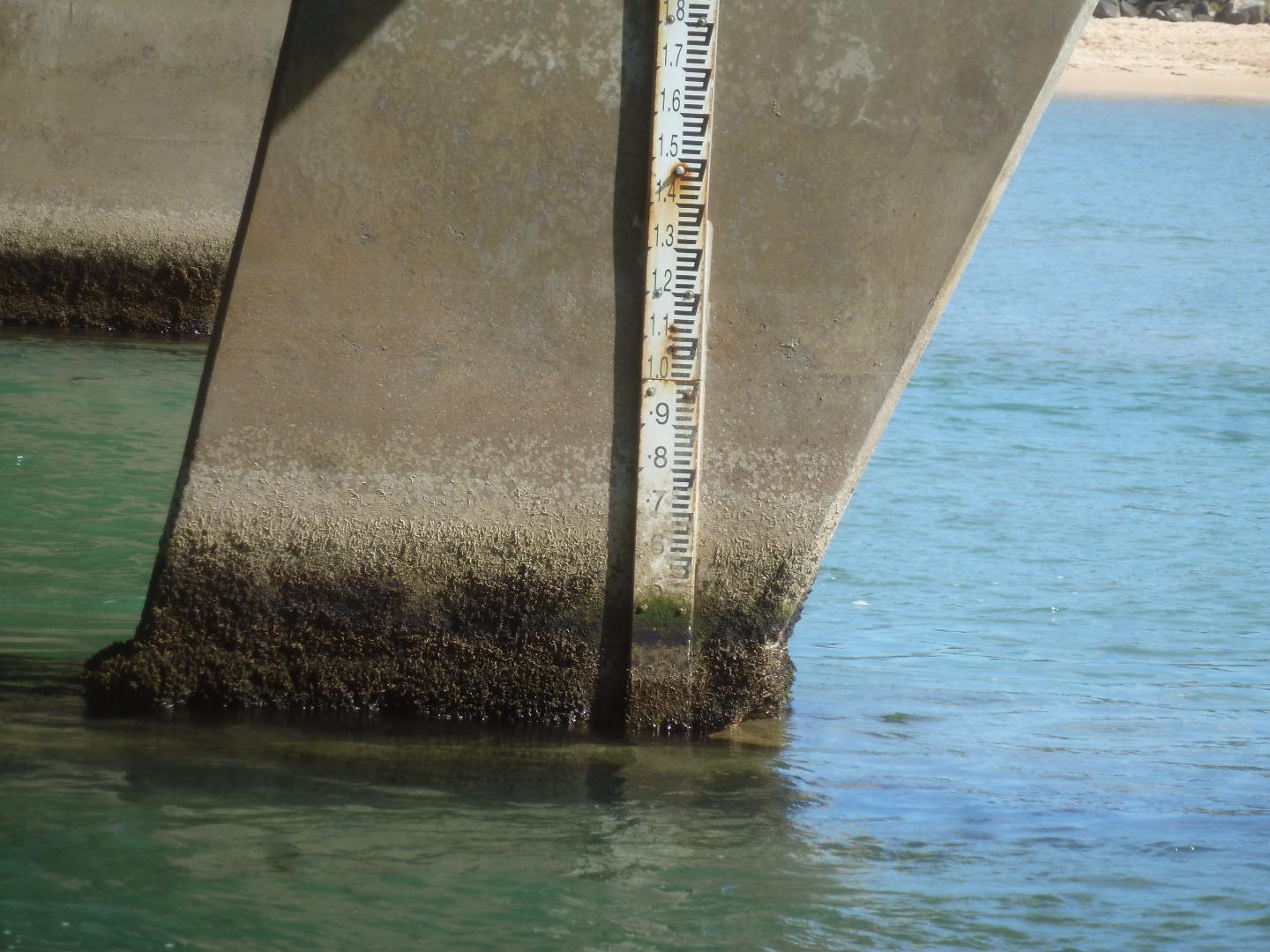
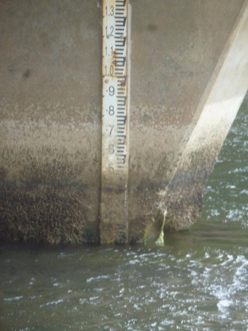
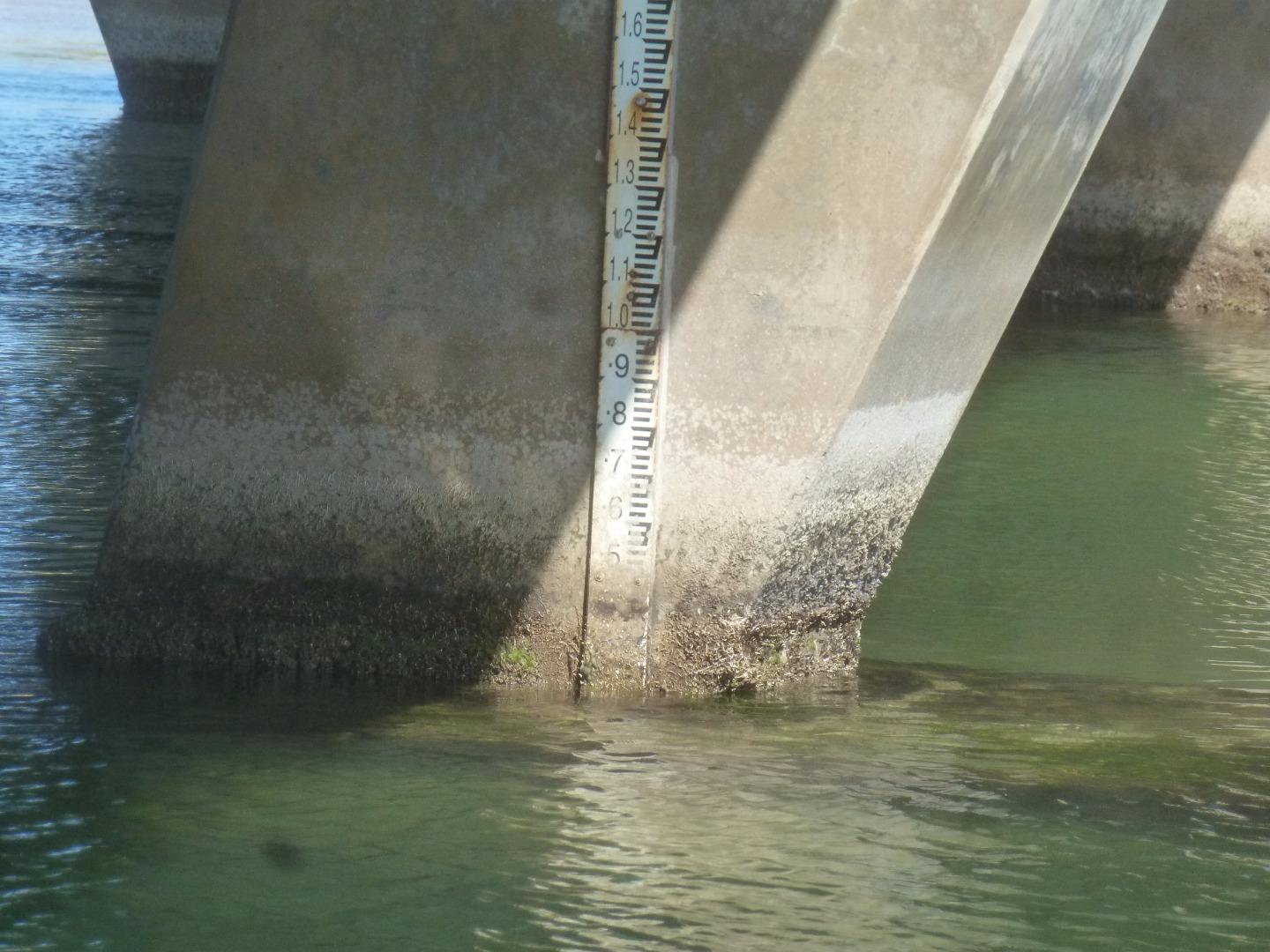
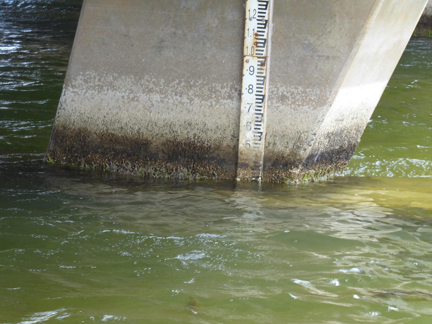
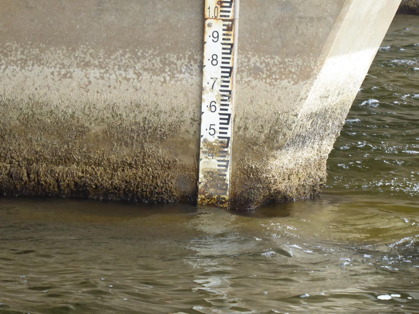
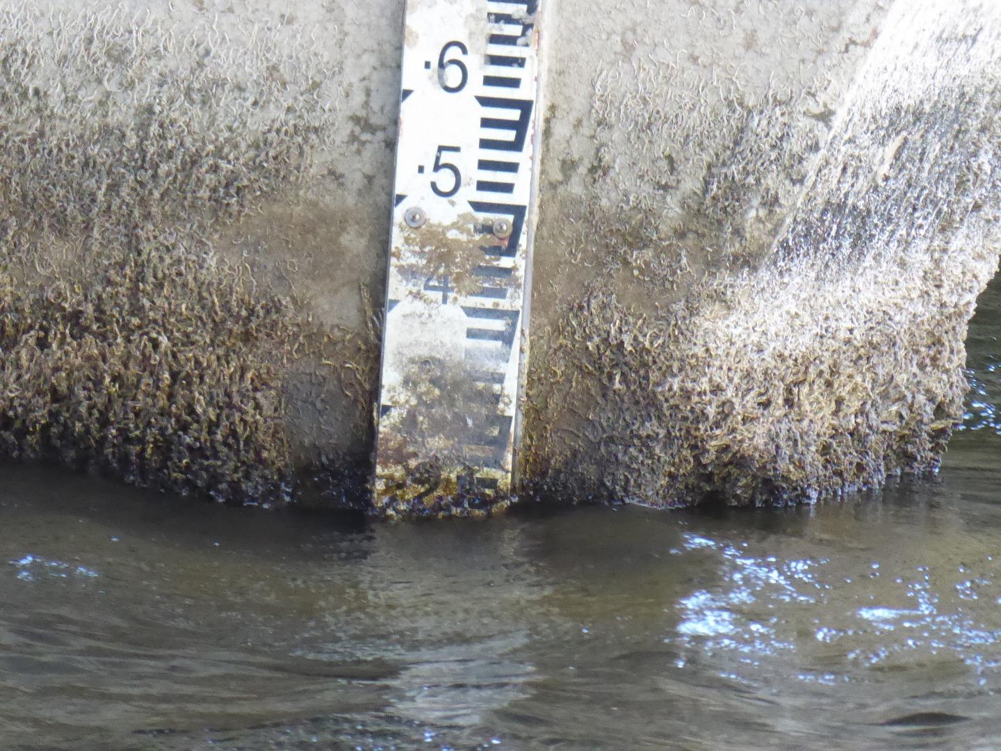
Height gauge readings were scaled from photos taken off the height gauge, because the lower half of the height gauge was unreadable. |
|
| #11579 | 7 Nov 2017 | Approved |
Notes:
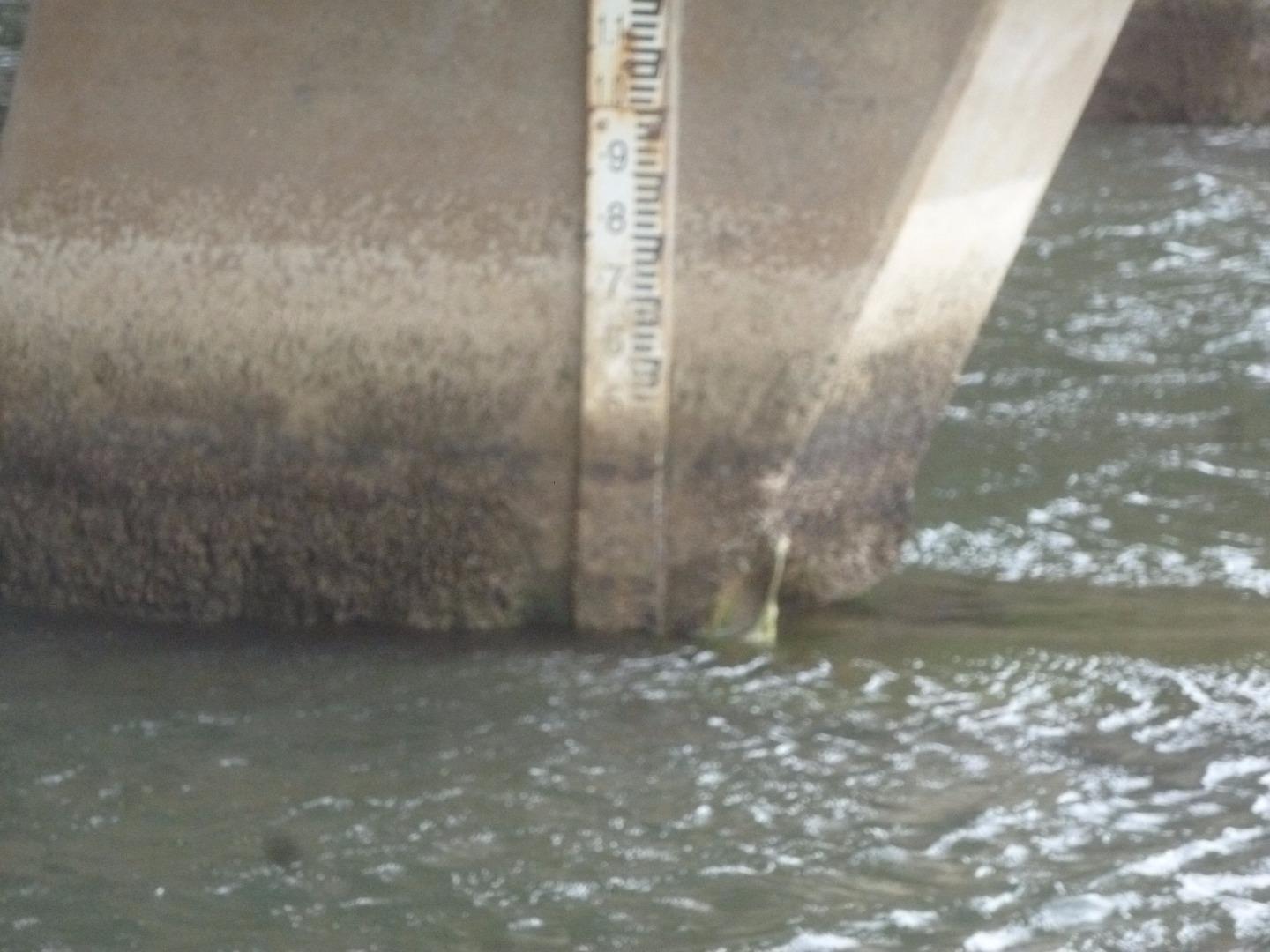
Water Level readings were scaled from photos I took, because the bottom of the Height Gauge was unreadable. The photos are uploaded. |
|
| #11641 | 5 Dec 2017 | Approved |
Notes:
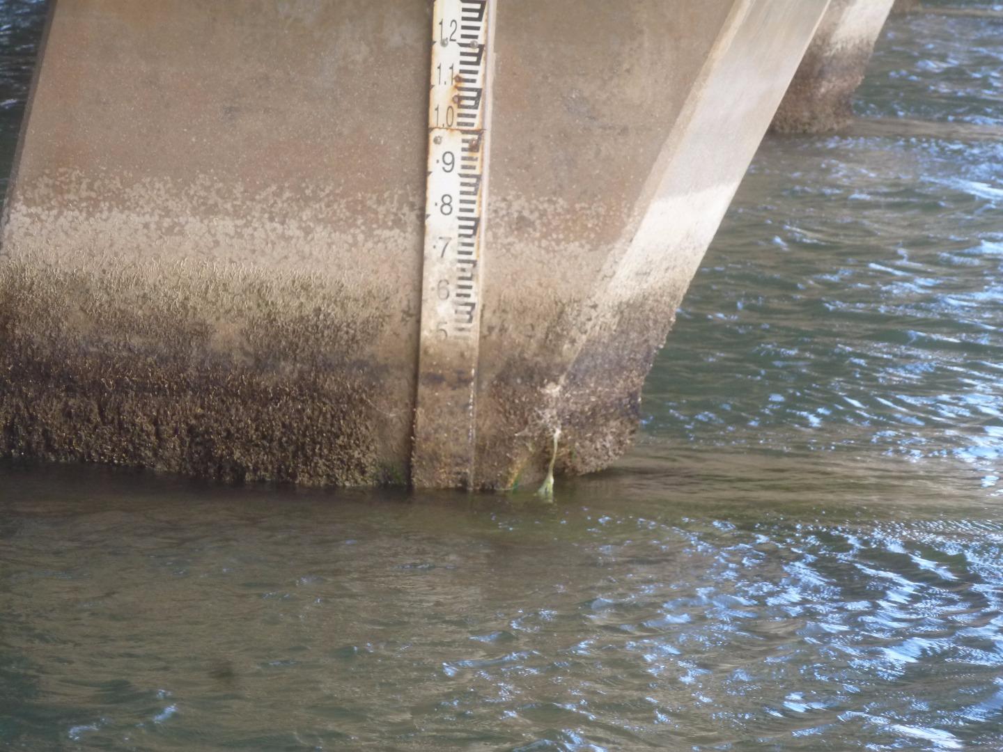
Water level was scaled from the photograph of the height gauge, as the gauge was unreadable at water level |
|
| #11672 | 19 Dec 2017 | Approved |
Notes:
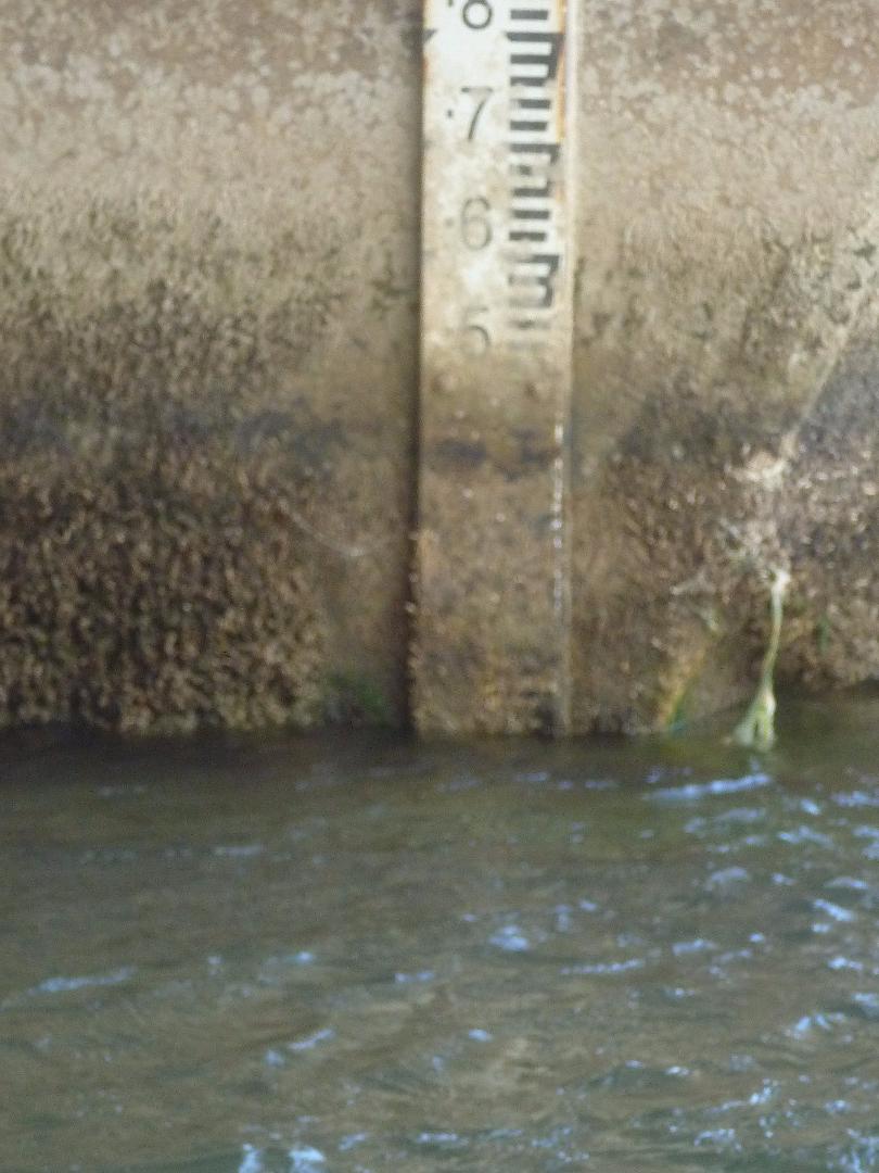
Height gauge dirty at water level. Height scaled from photo. |
|
| #11704 | 6 Jan 2018 | Approved | ||
| #11768 | 6 Feb 2018 | Approved | ||
| #11878 | 13 Mar 2018 | Approved | ||
| #11933 | 3 Apr 2018 | Approved | ||
| #12009 | 1 May 2018 | Approved | ||
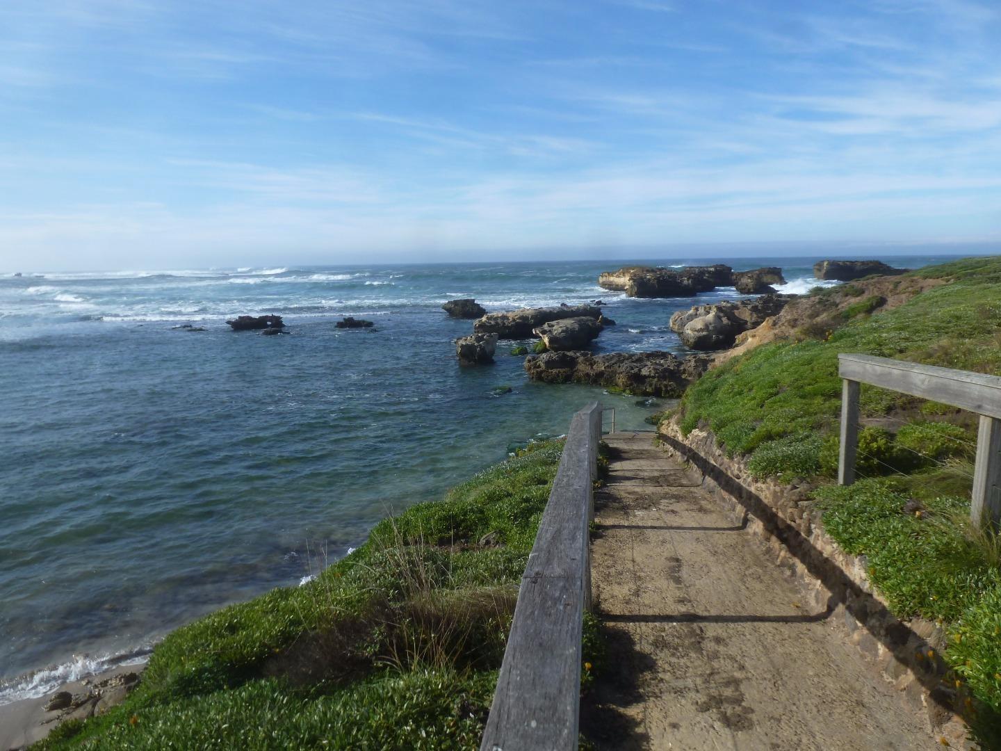
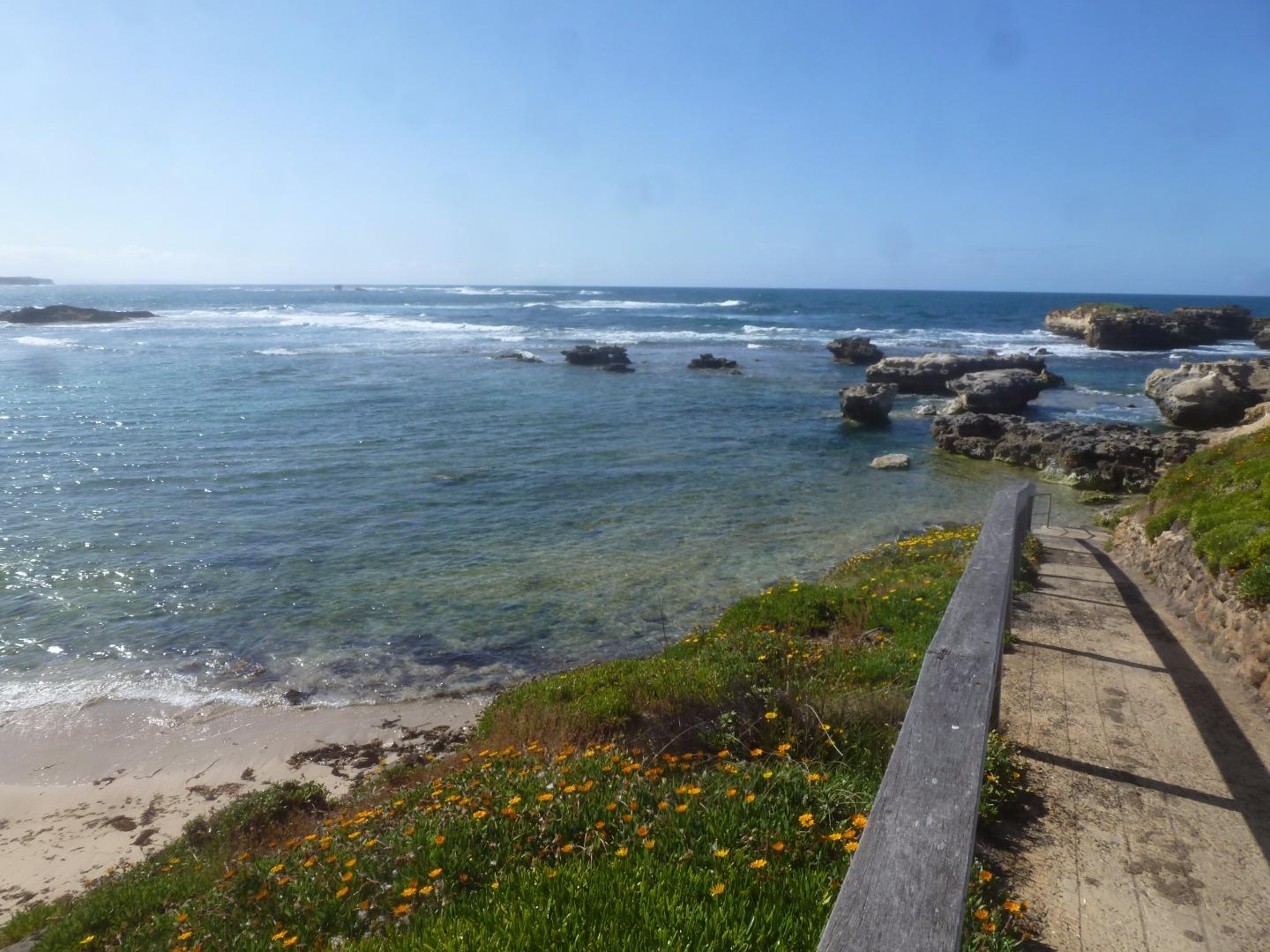
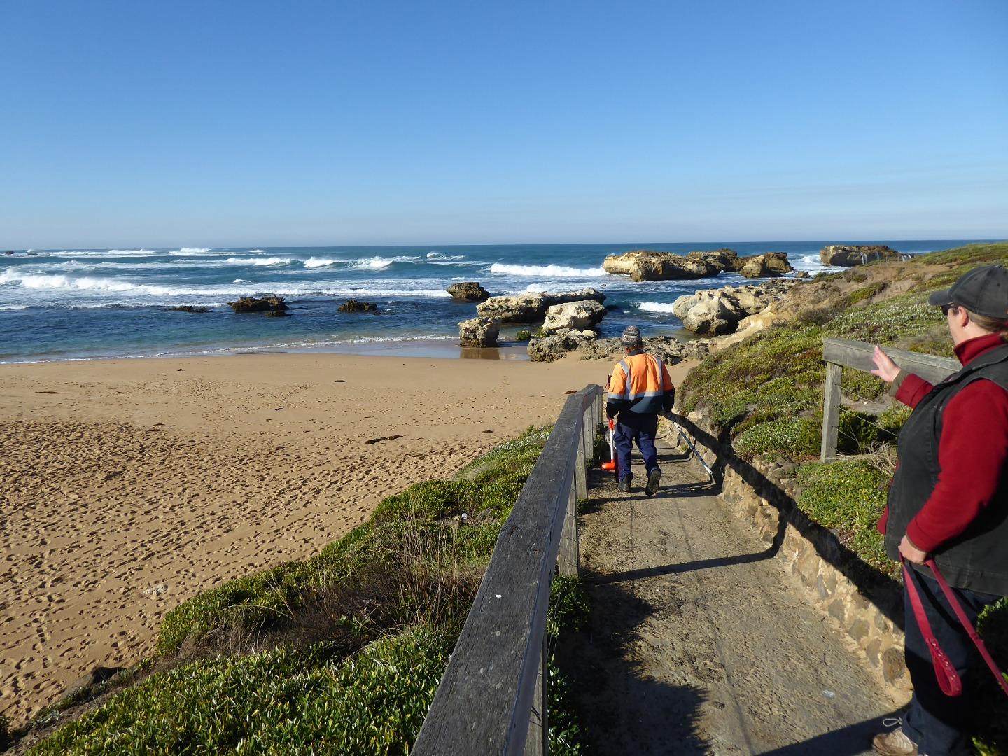
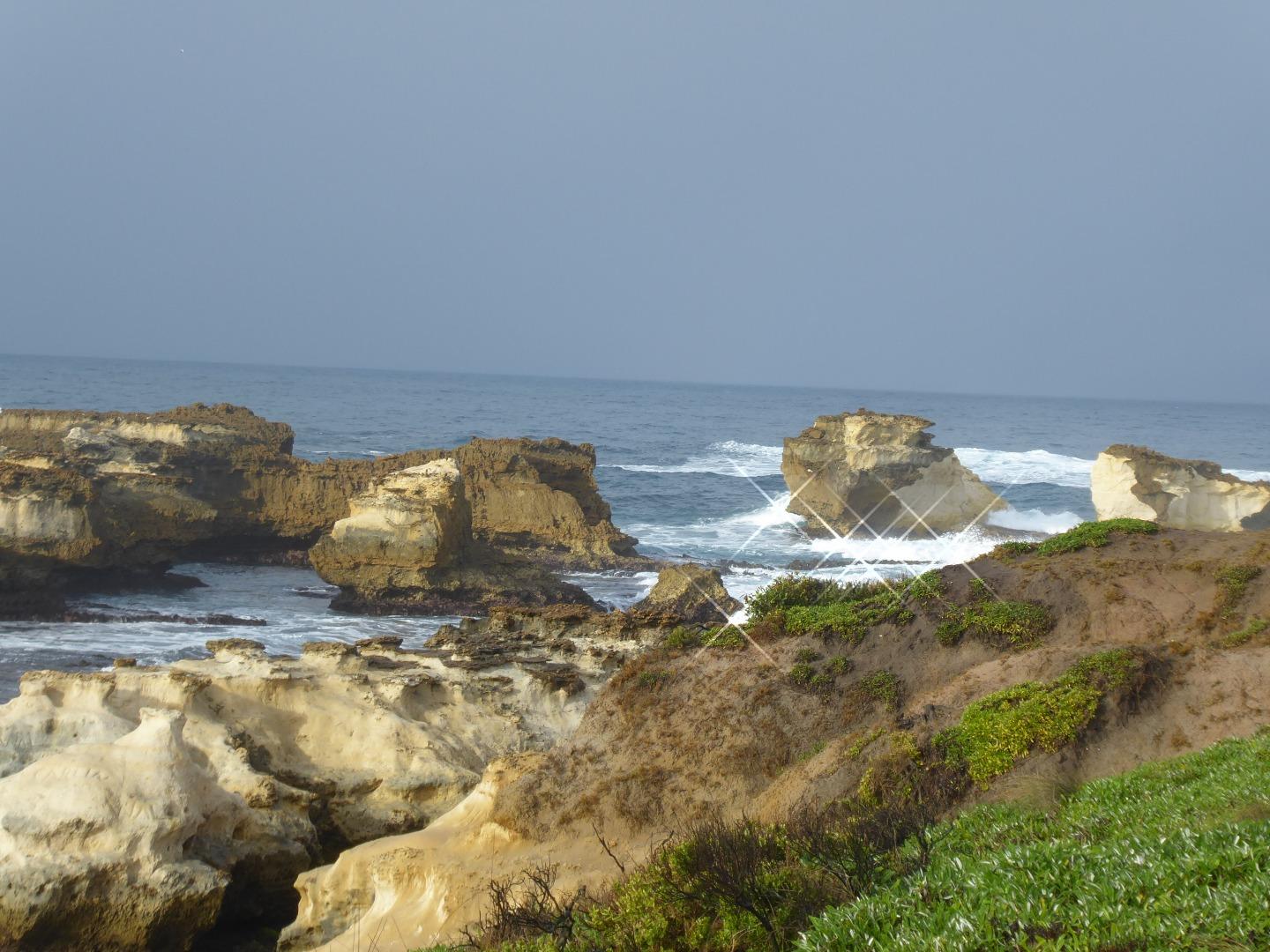
| #12115 | 5 Jun 2018 | Approved |
Notes:
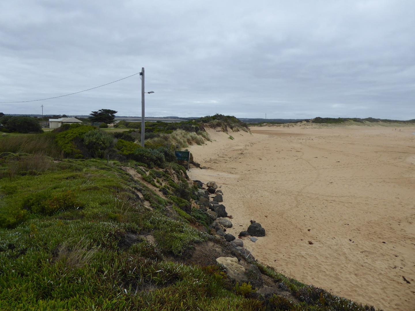
Another rock at the Point near the Curdies mouth has broken in half in the last week or so. I have included a photo of it. |
|


All content, files, data and images provided by the EstuaryWatch Data Portal and Gallery are subject to a Creative Commons Attribution License
Content is made available to be used in any way, and should always attribute EstuaryWatch and www.estuarywatch.org.au