EstuaryWatch Data Portal
CuMC Curdies Mouth Condition
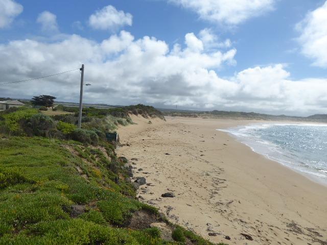
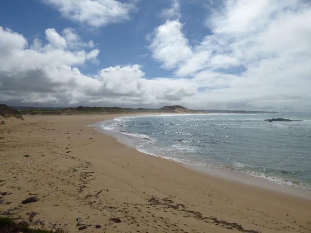
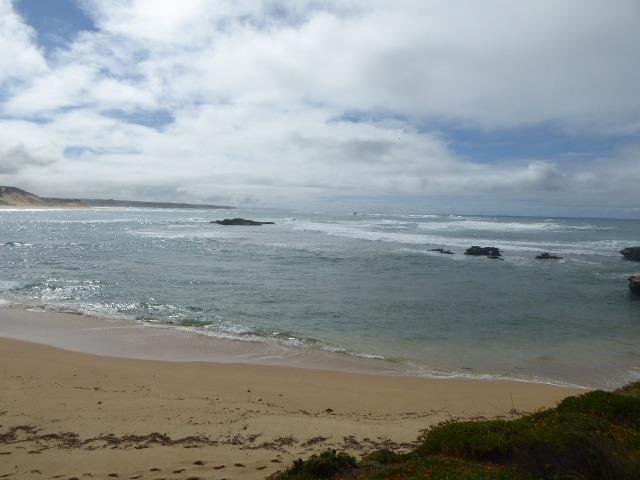
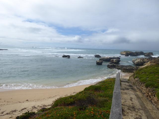
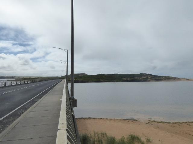
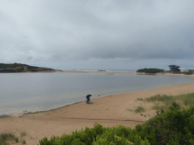
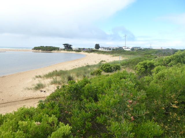
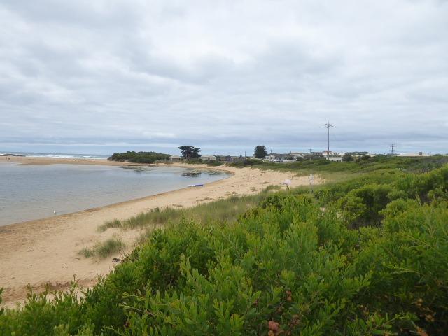
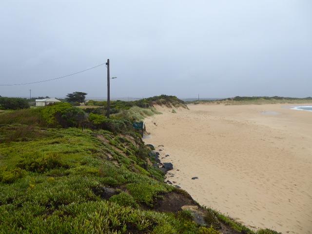
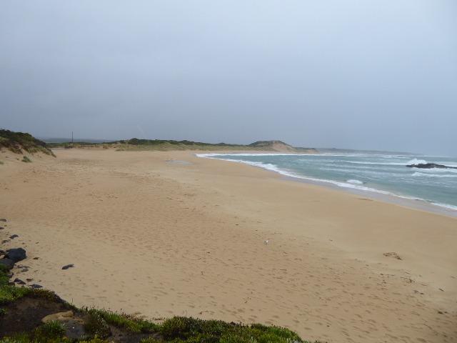
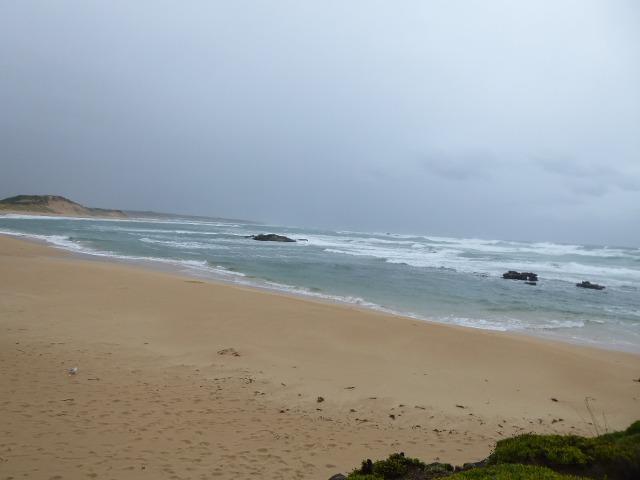
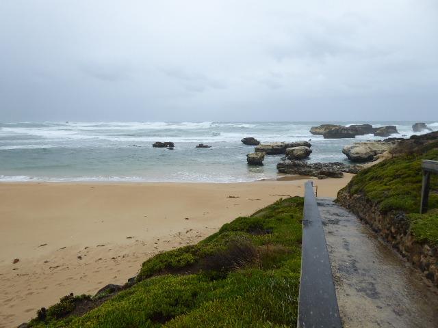
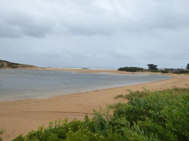
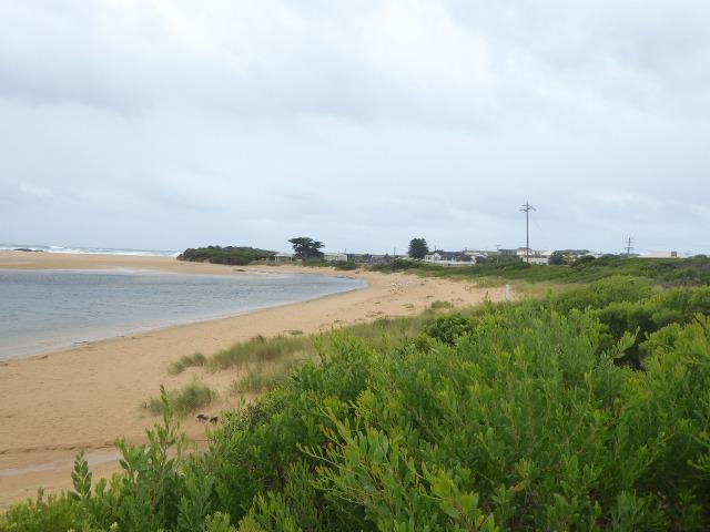
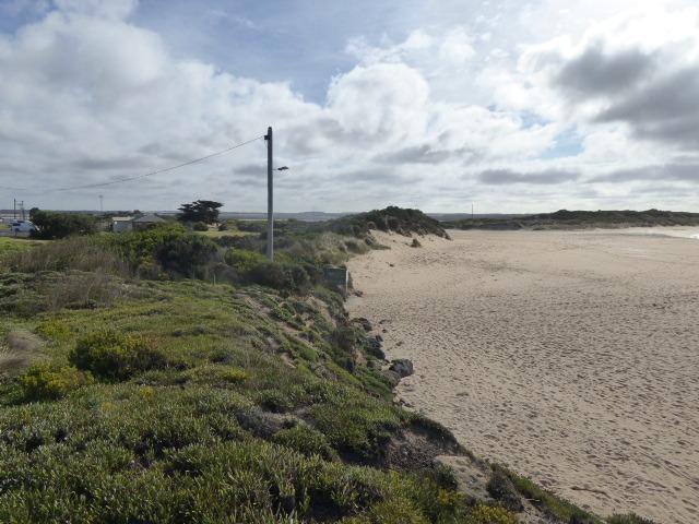
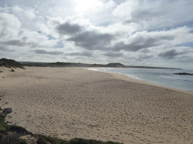
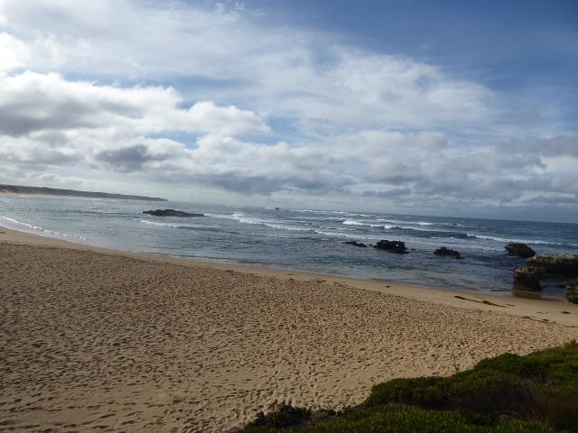
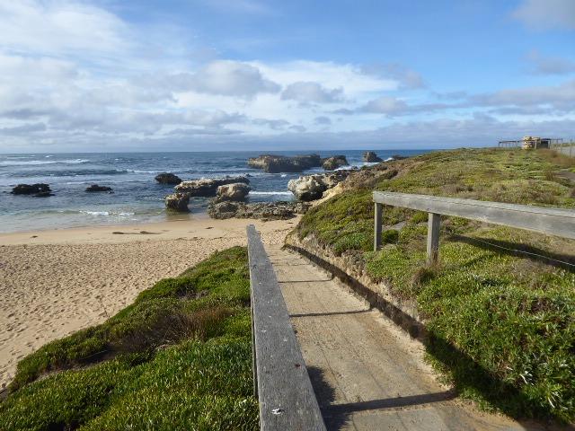
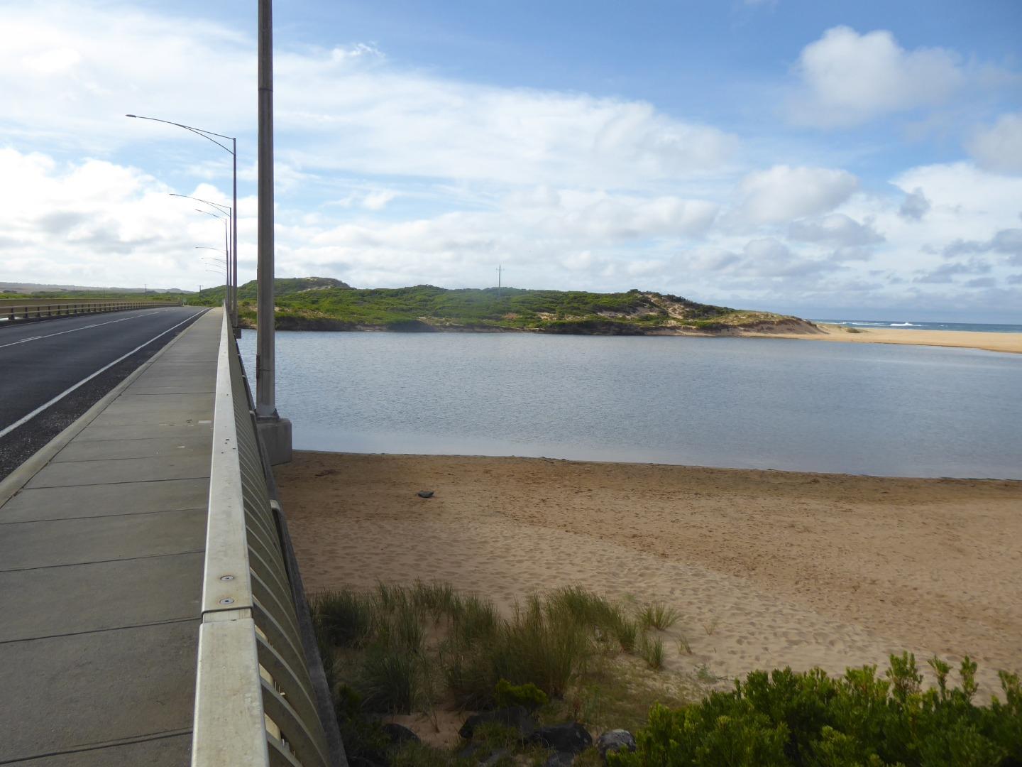
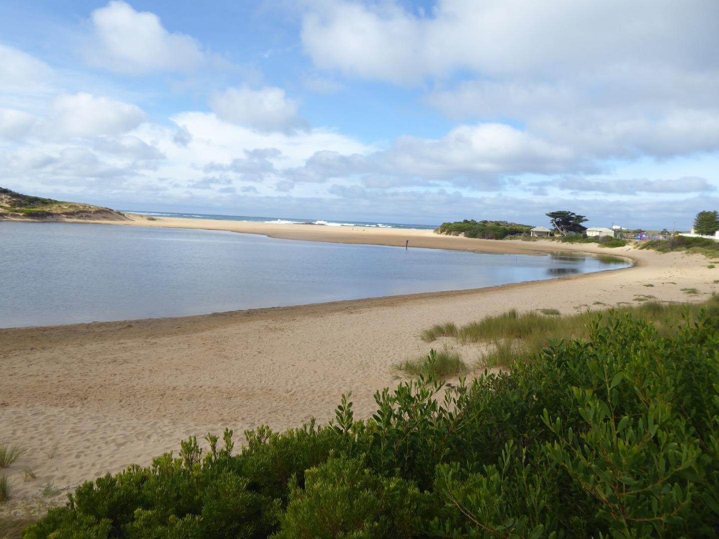
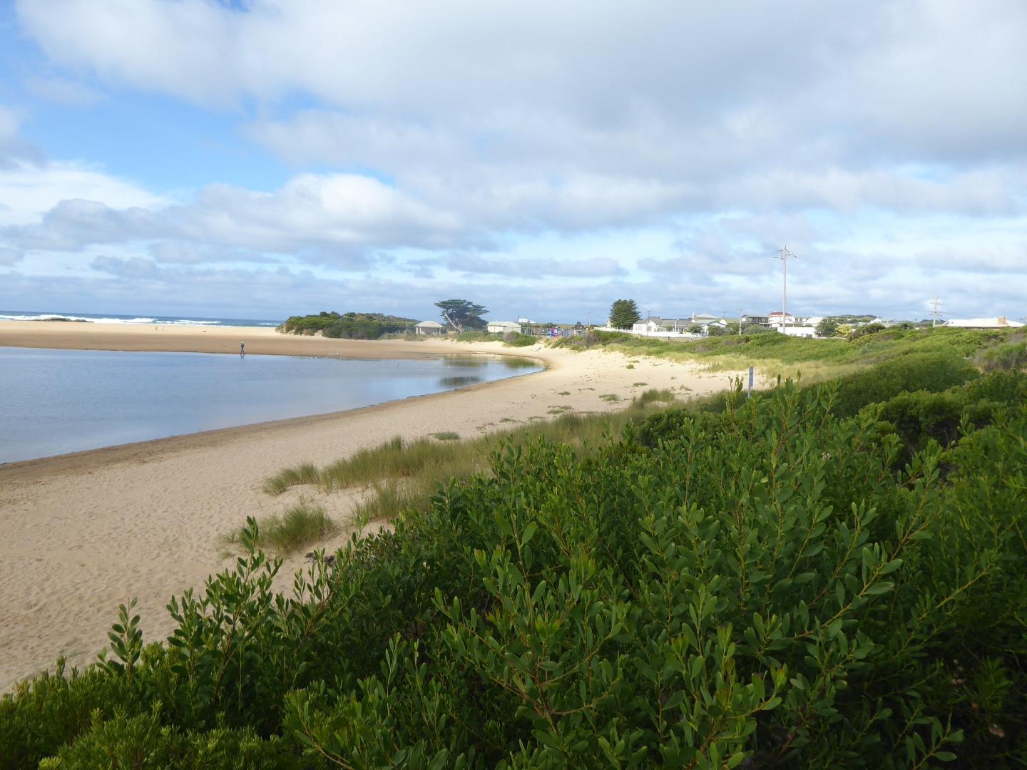
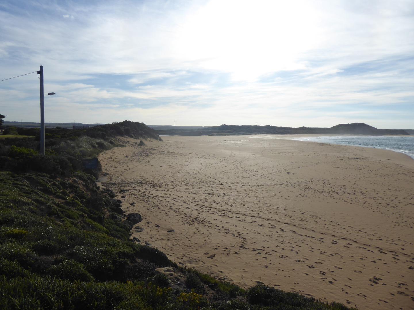
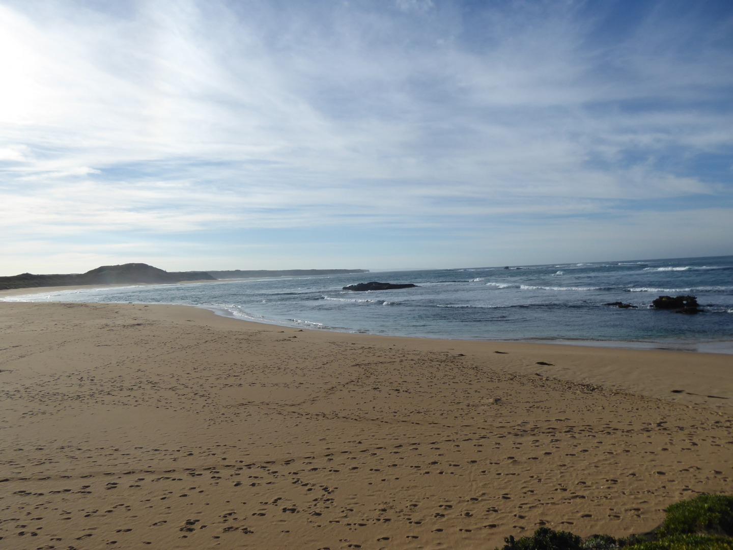
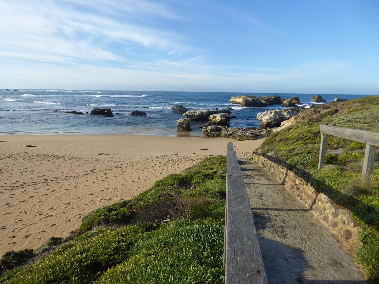
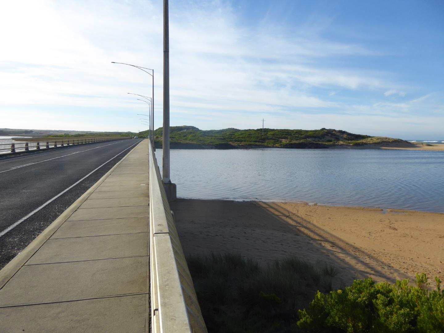
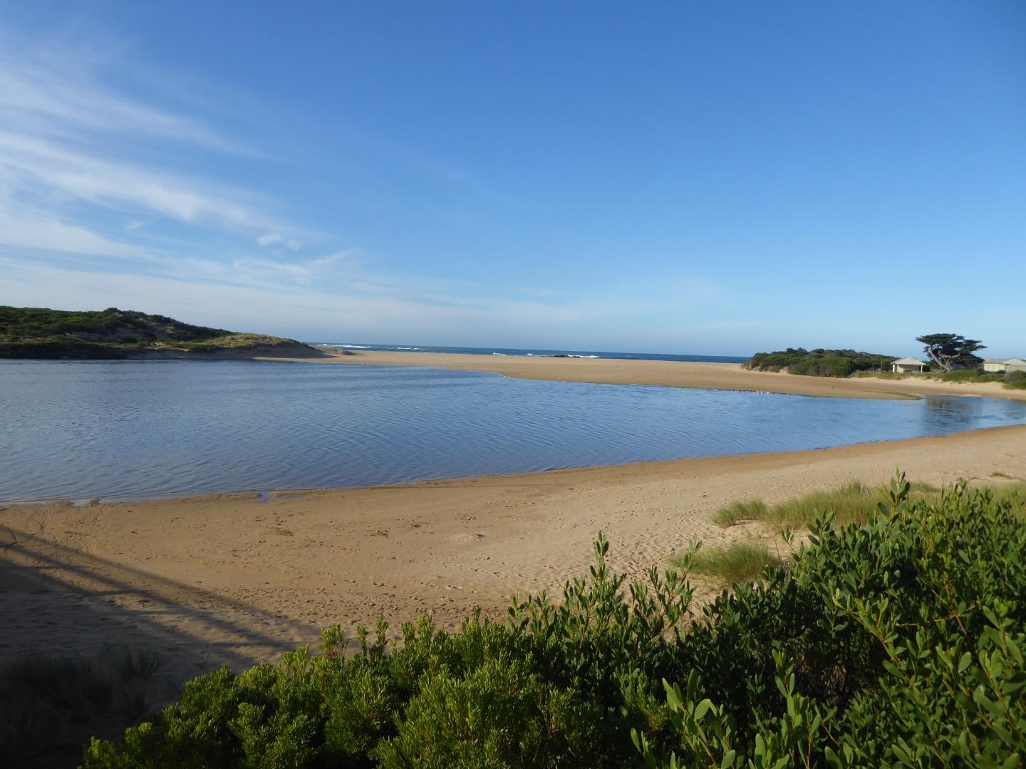
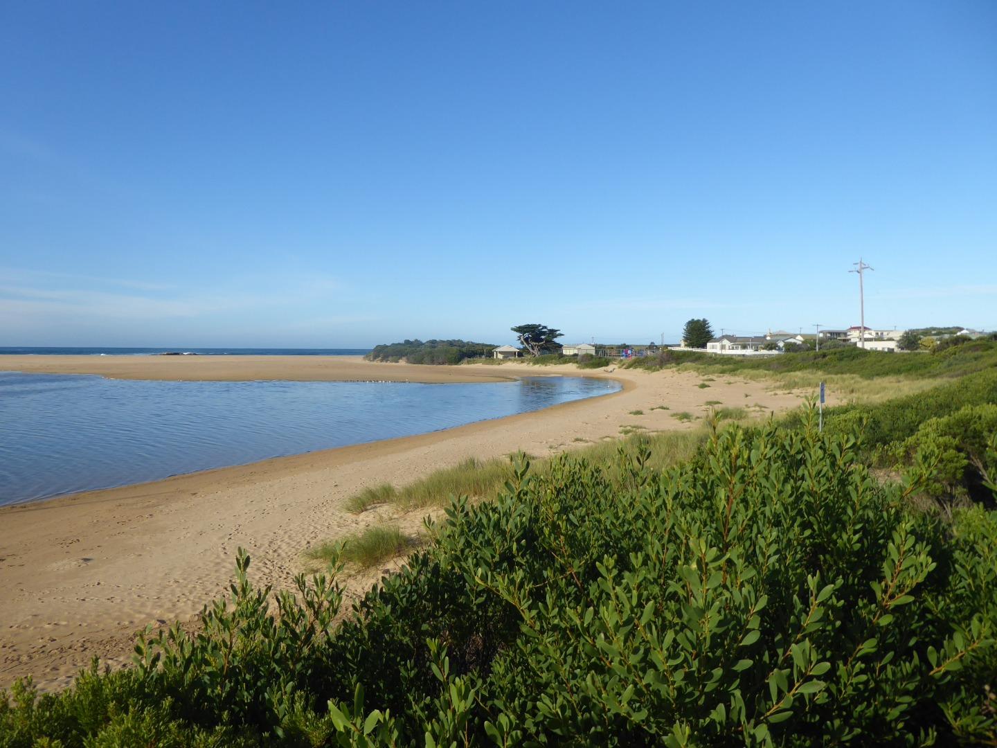
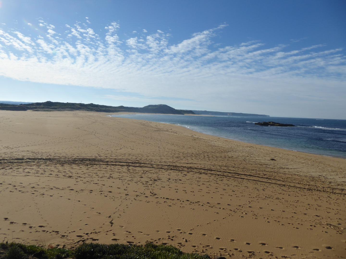
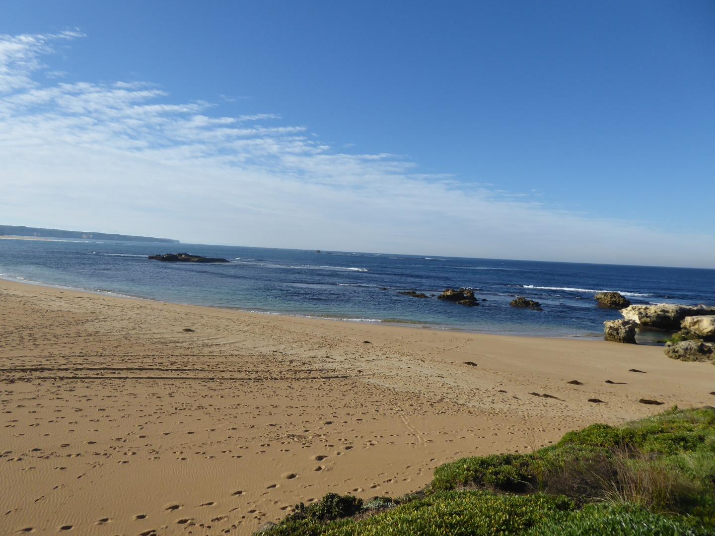
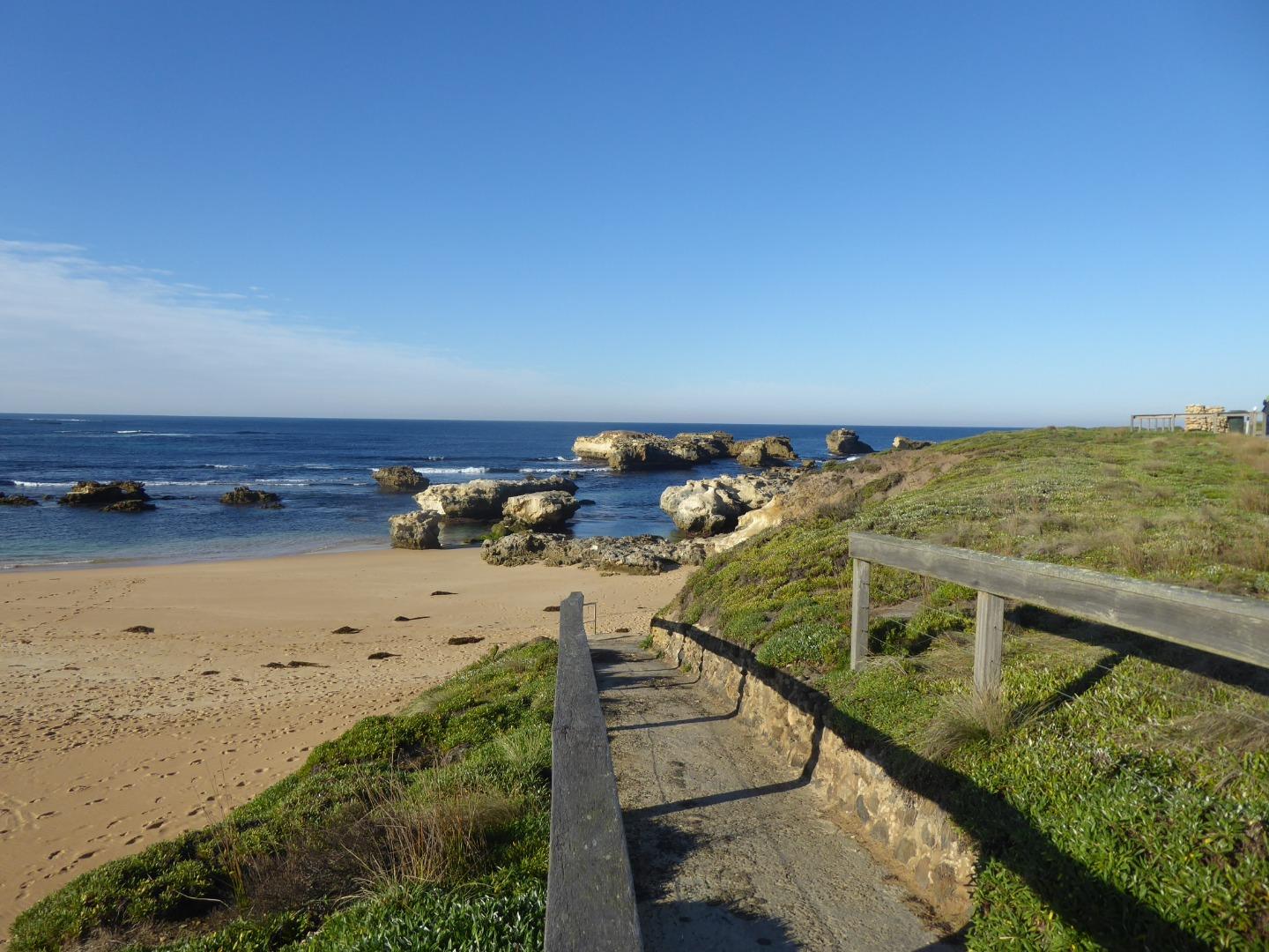
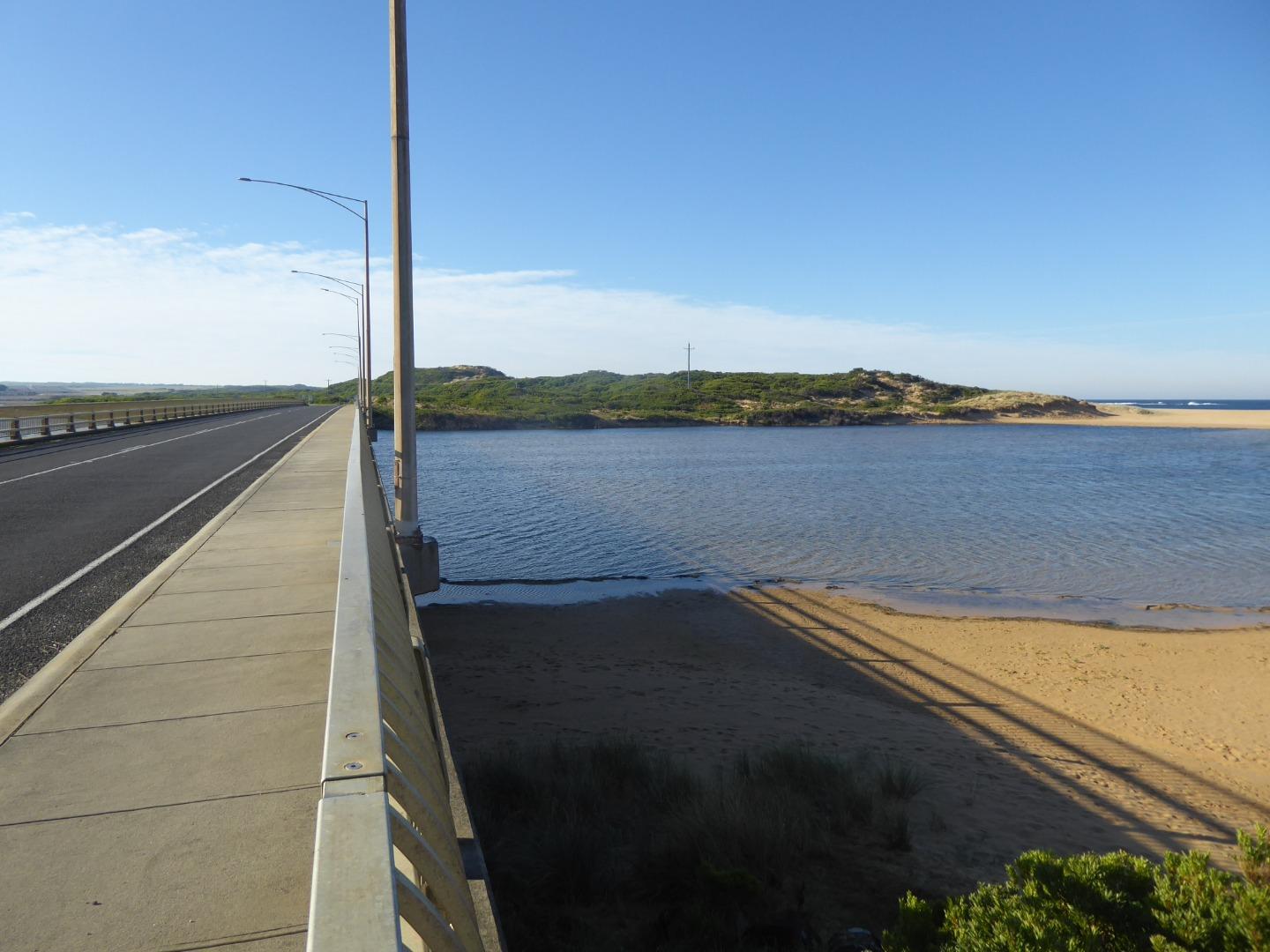
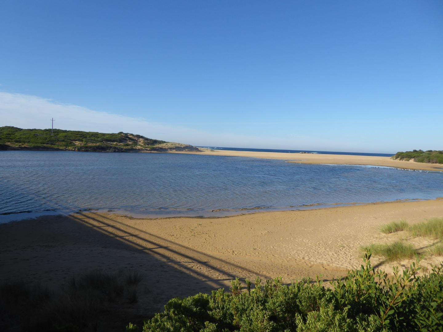
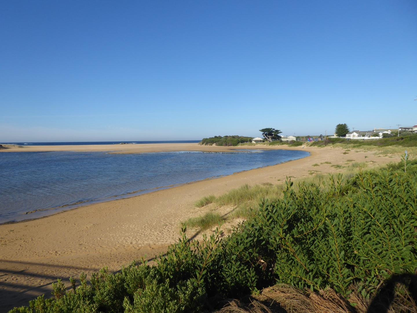
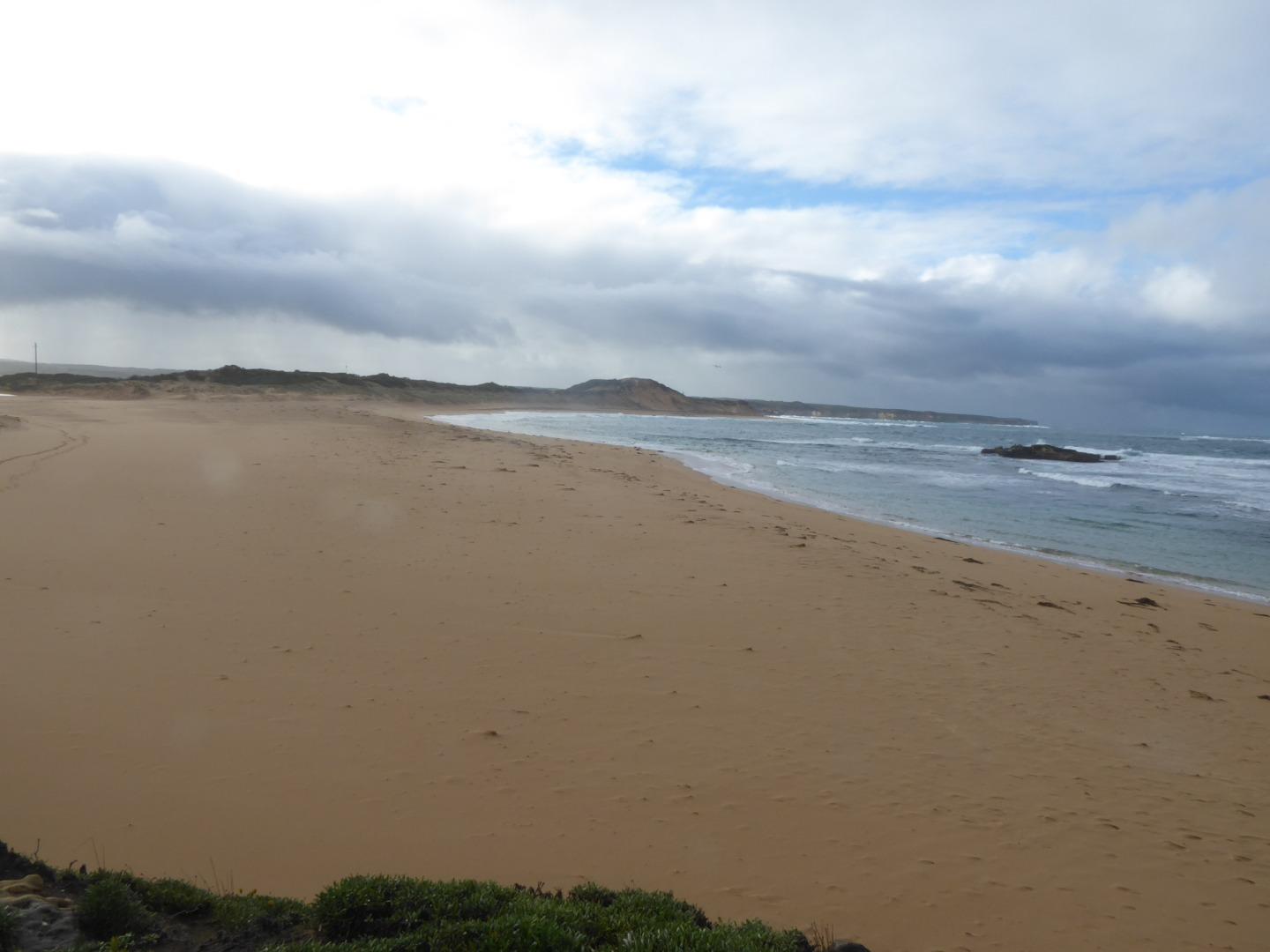
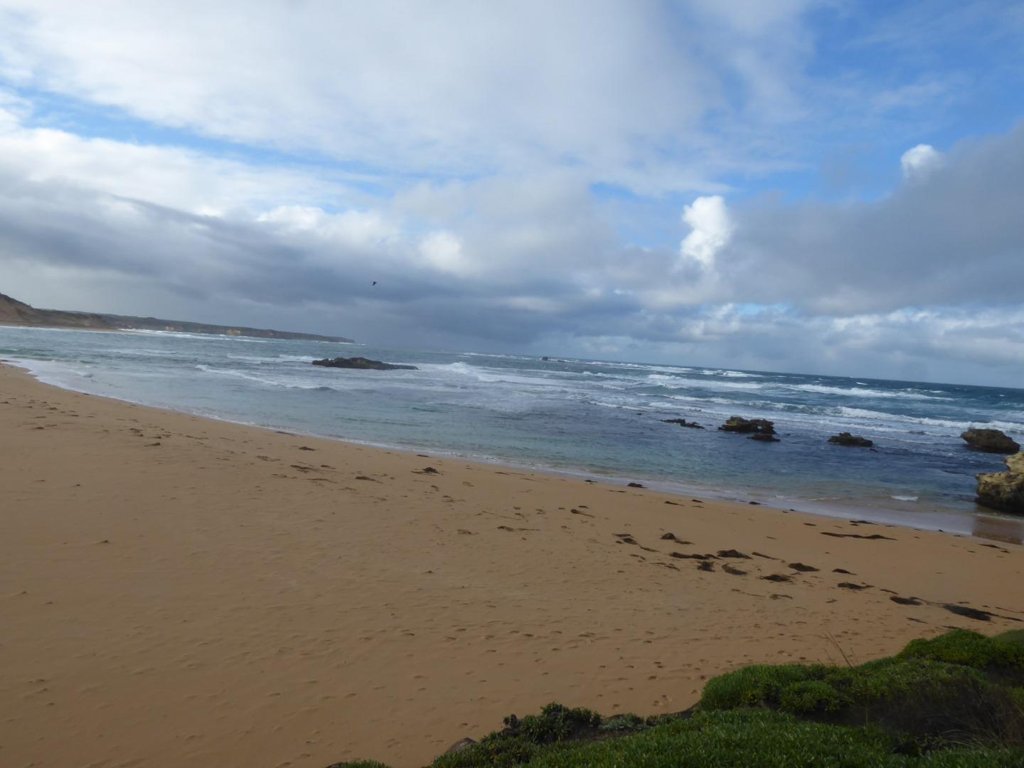
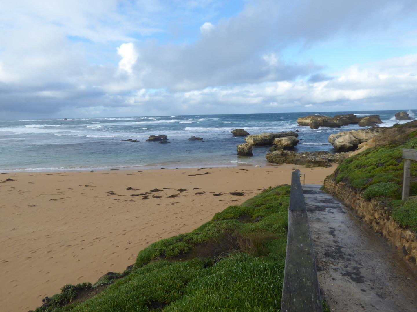
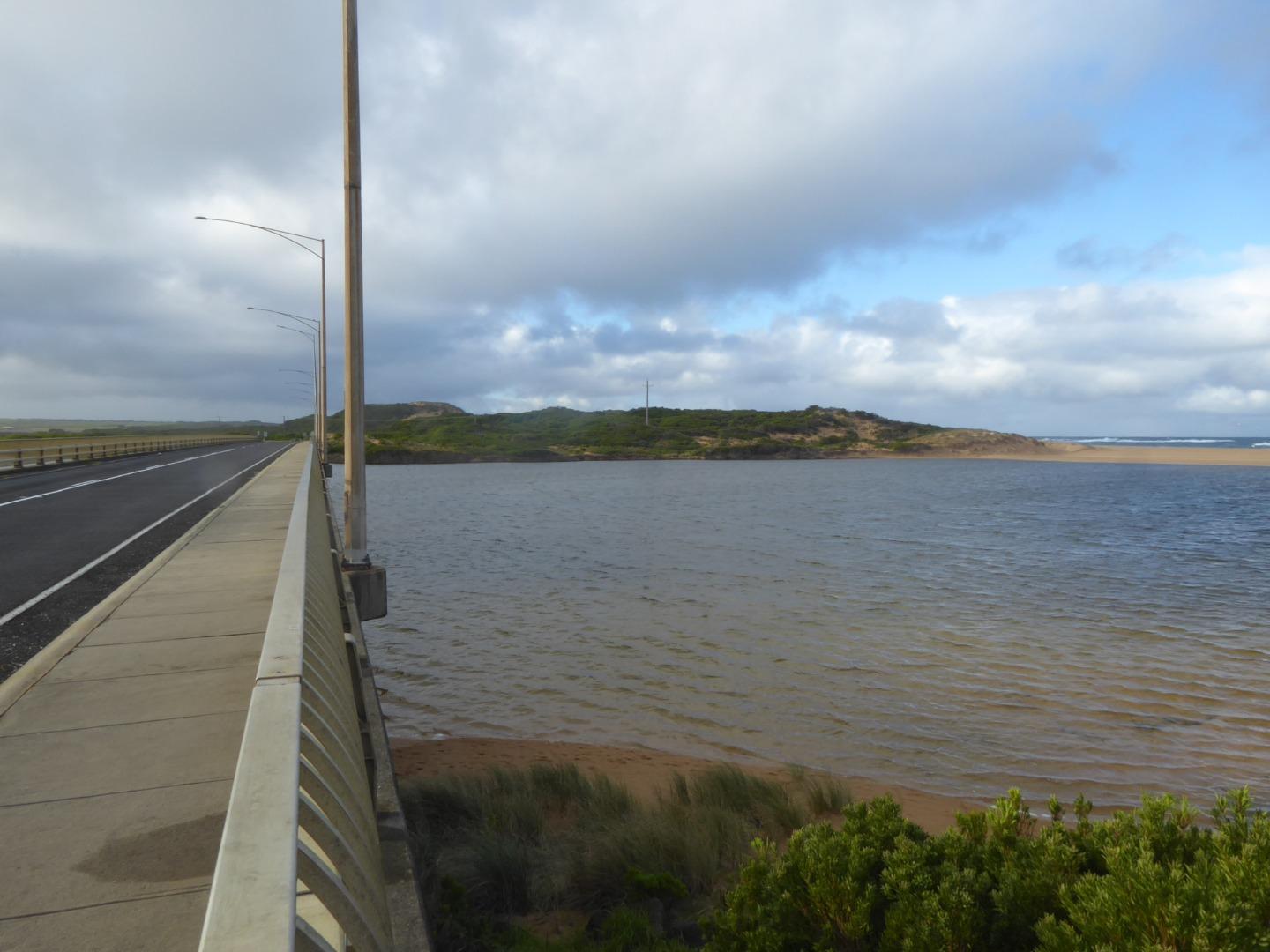
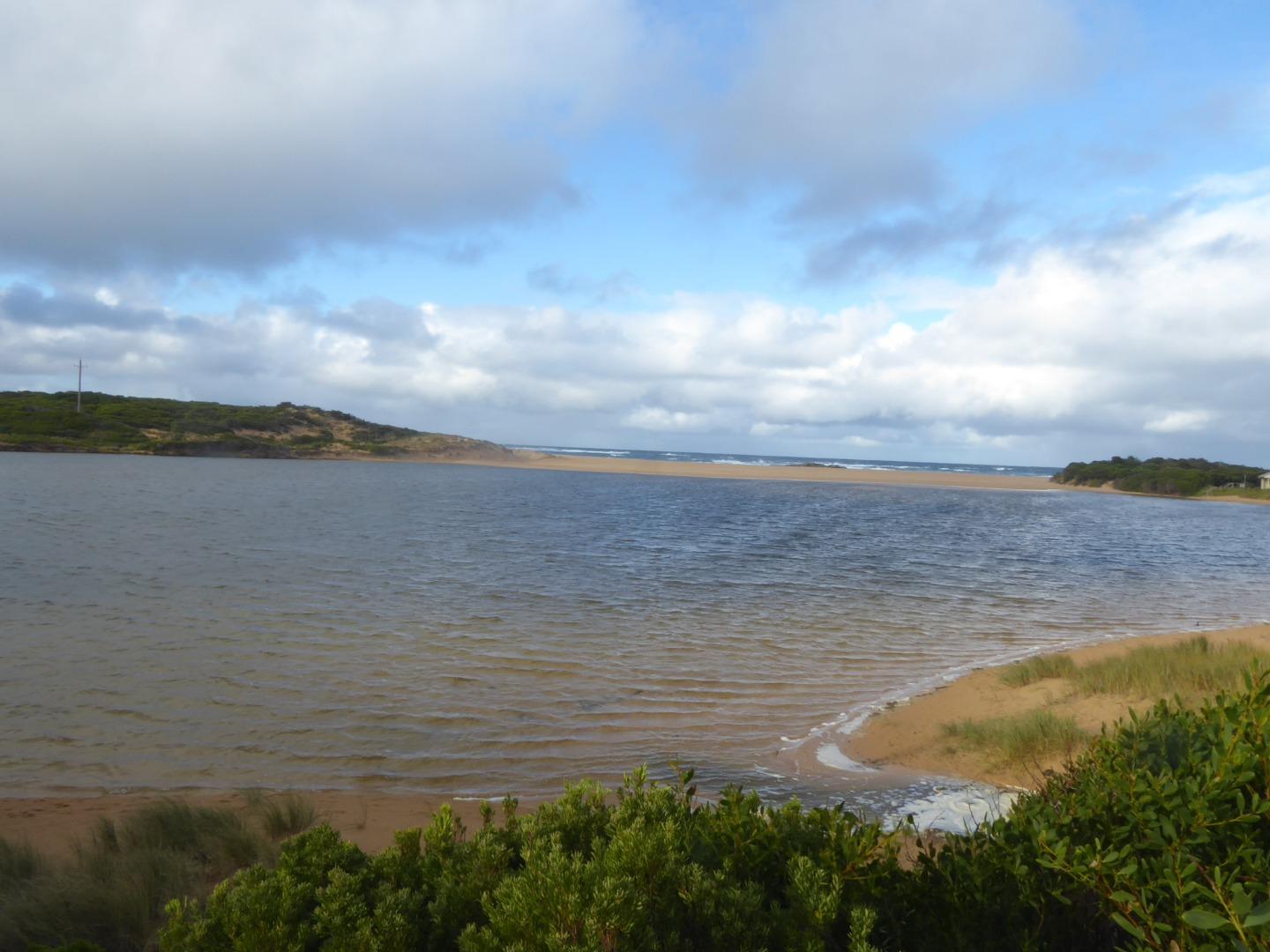
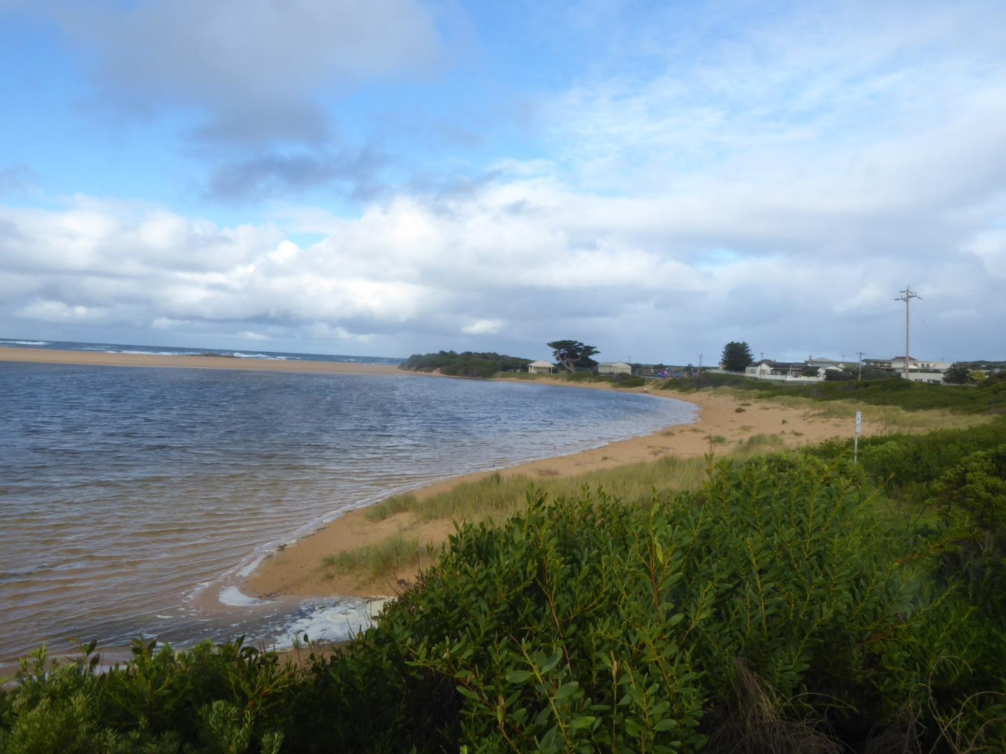
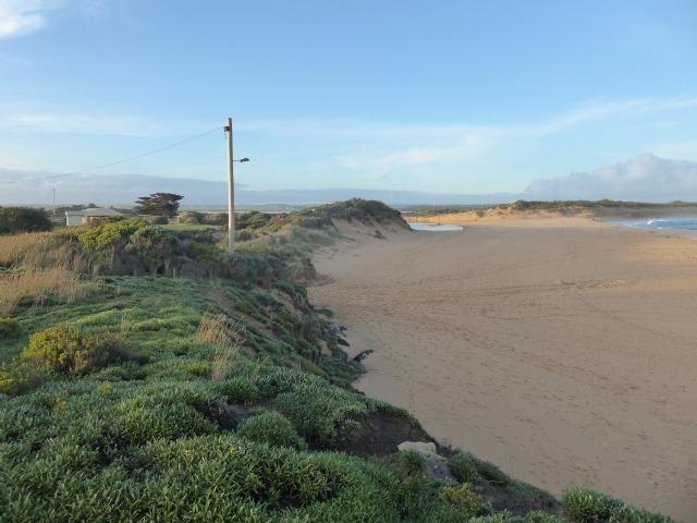
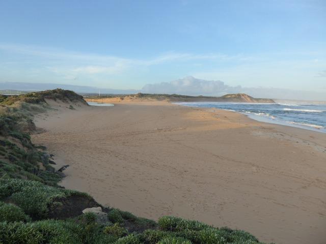
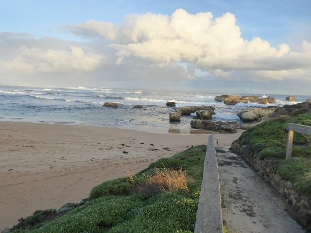
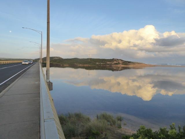
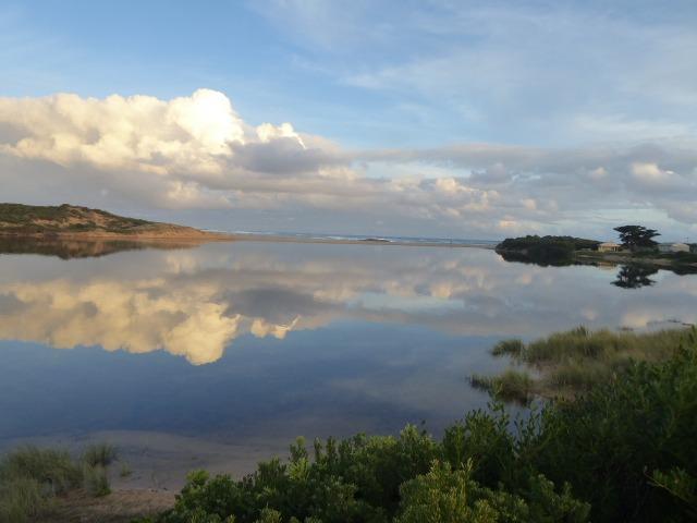
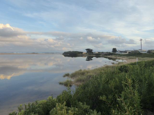
Active Mouth Condition 21-02-2014 - 07-05-2024Curdies River Estuary
| ID | Date | Status | Details | |
|---|---|---|---|---|
| #12567 | 4 Dec 2018 | Approved | ||
| #12630 | 8 Jan 2019 | Approved | ||
| #12696 | 12 Feb 2019 | Approved |
Notes:
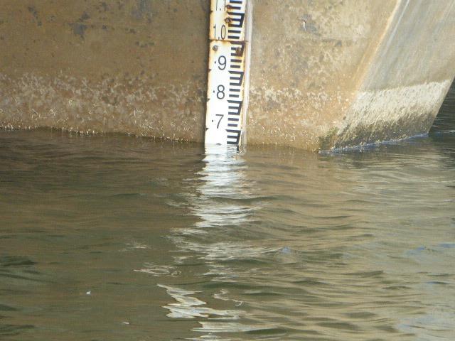
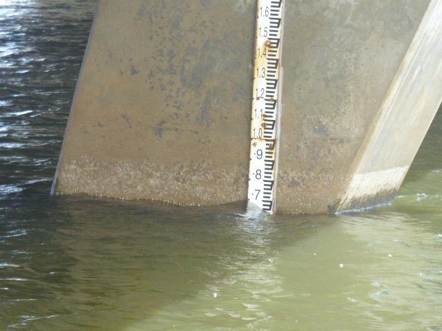
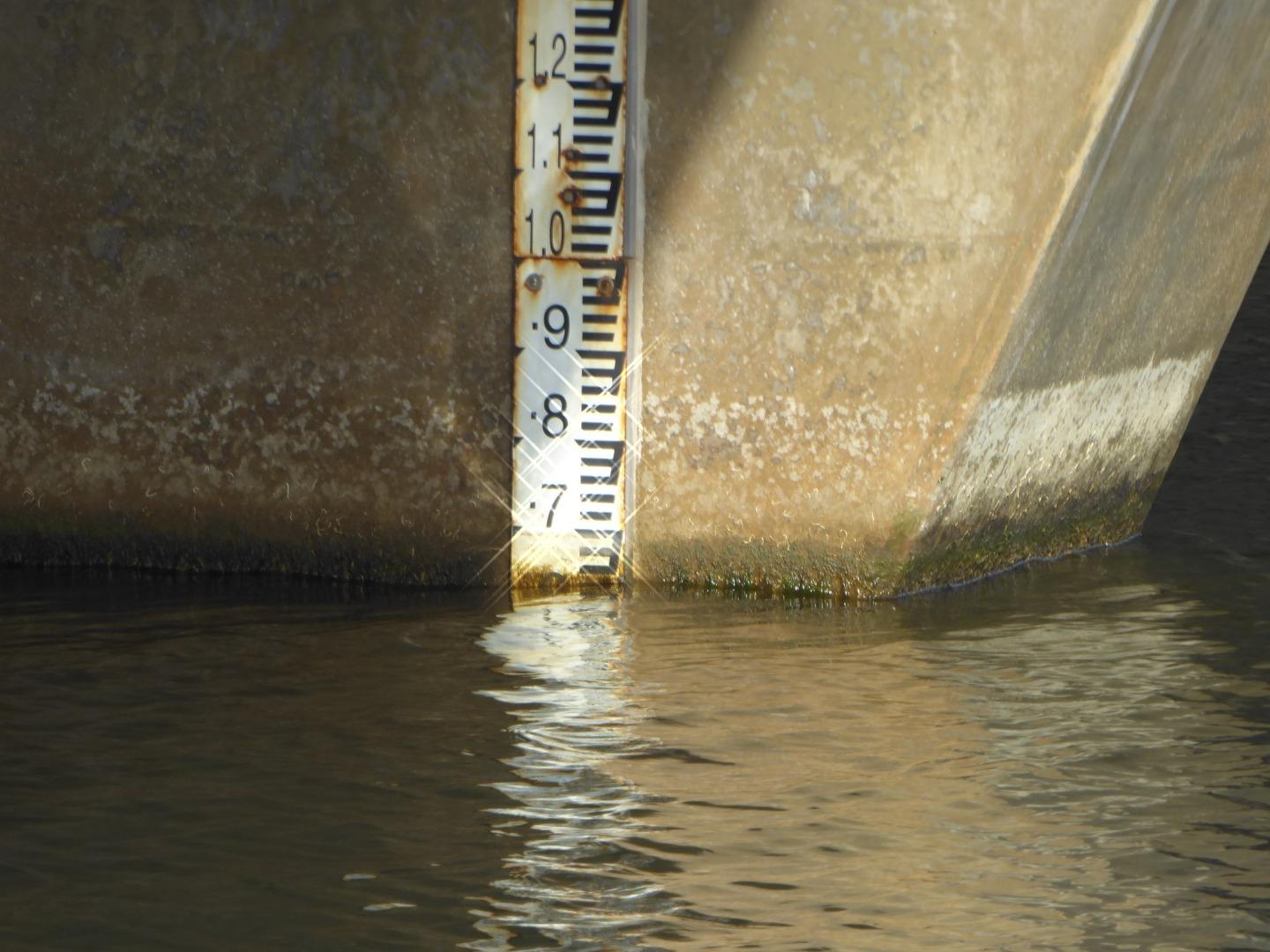
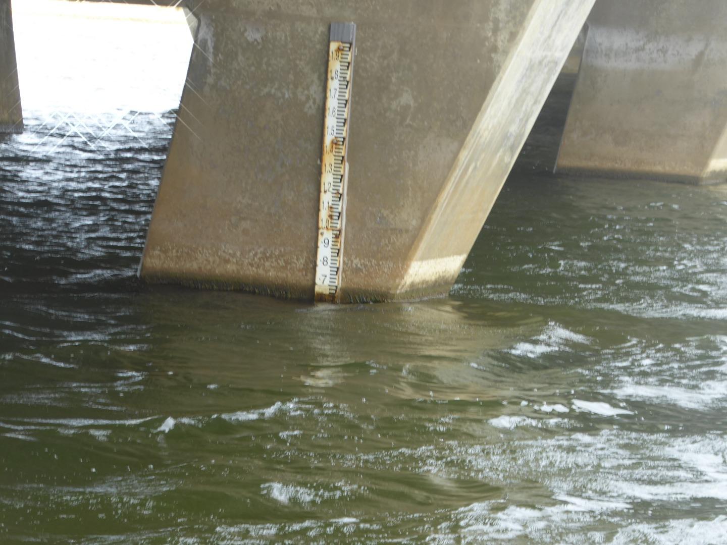
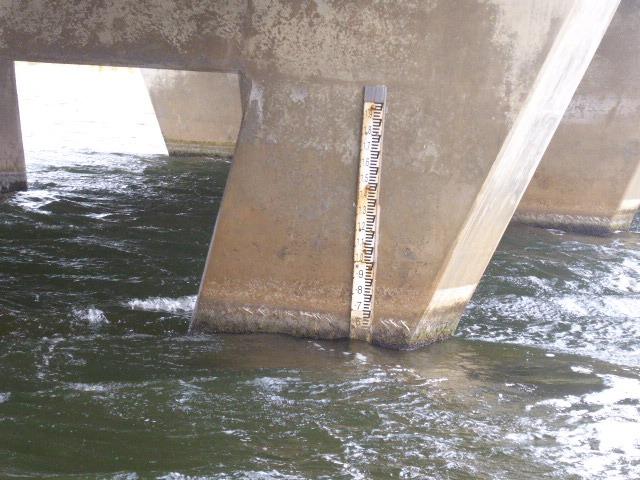
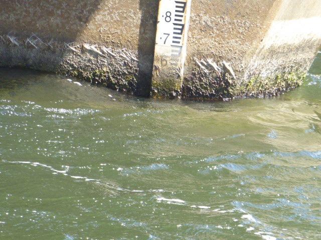
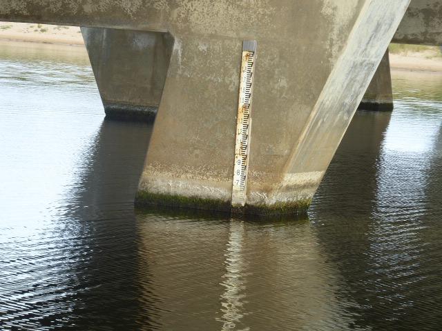
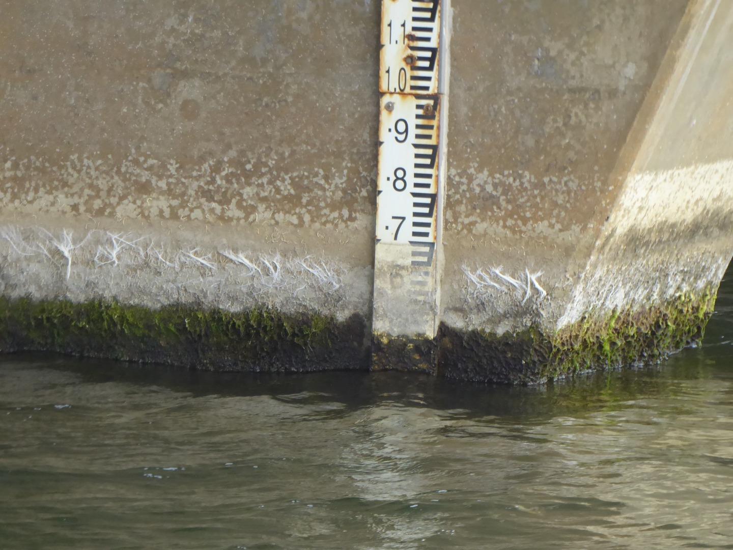
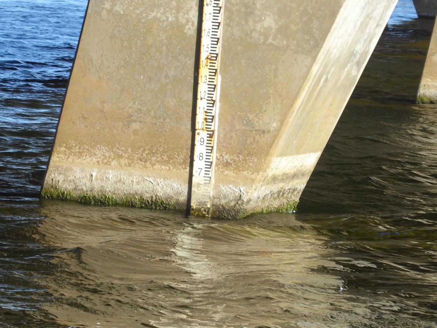
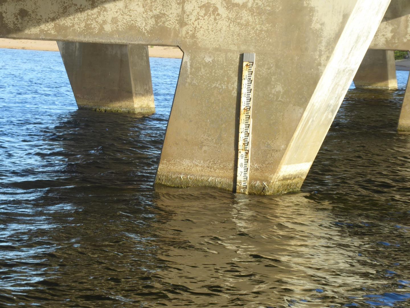
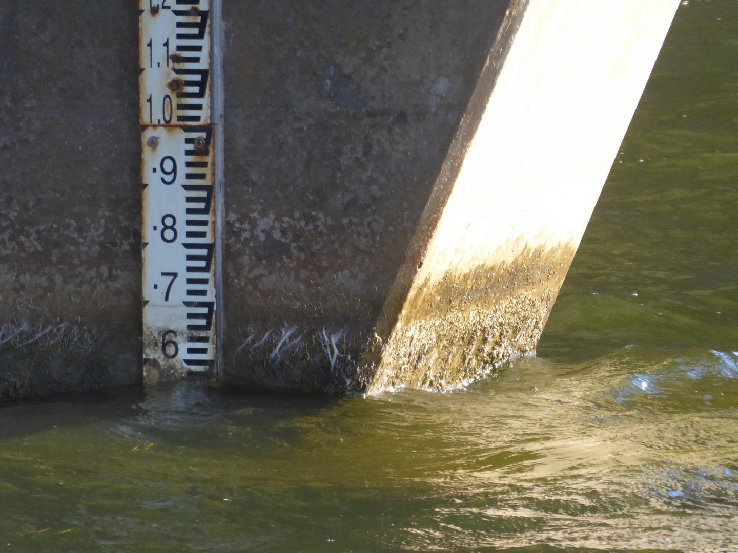
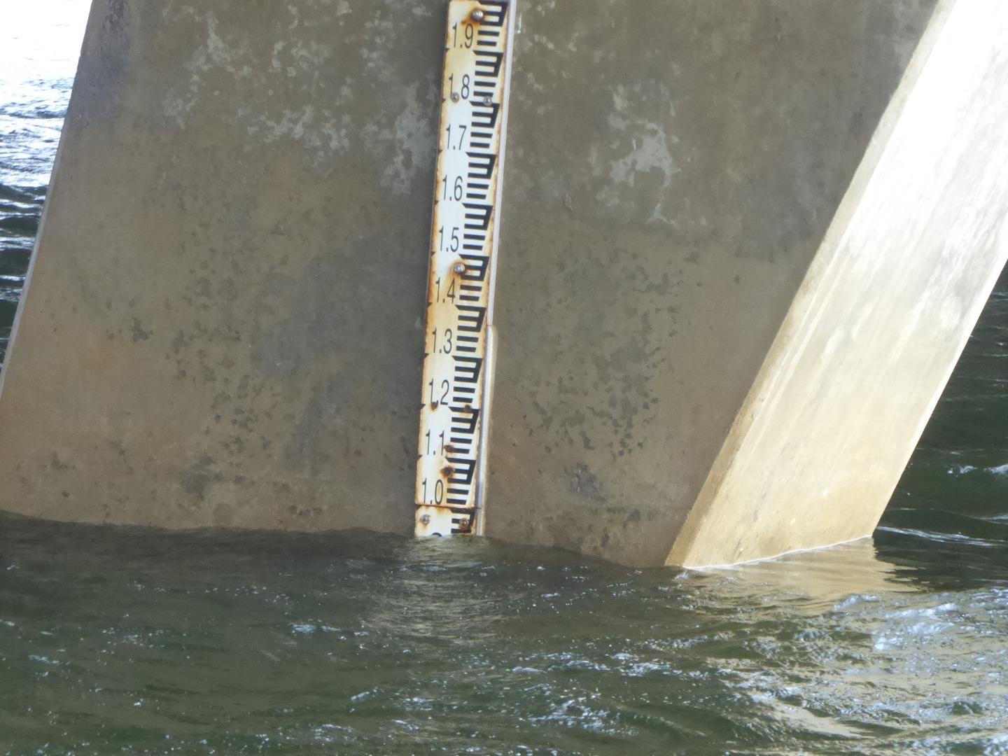
Height board was very dirty, making accurate heights difficult, particularly when combined with the swell. (See photos.) |
|
| #12741 | 5 Mar 2019 | Approved |
Notes:
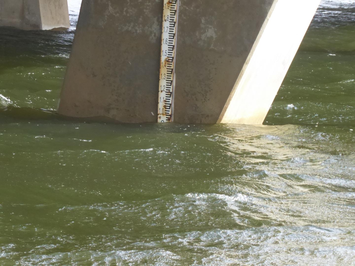
The height gauge is very dirty. It was impossible to read the gauge with accuracy, readings were scaled from the photos I took, which I have uploaded. |
|
| #12811 | 2 Apr 2019 | Approved | ||
| #12906 | 7 May 2019 | Approved |
Notes:
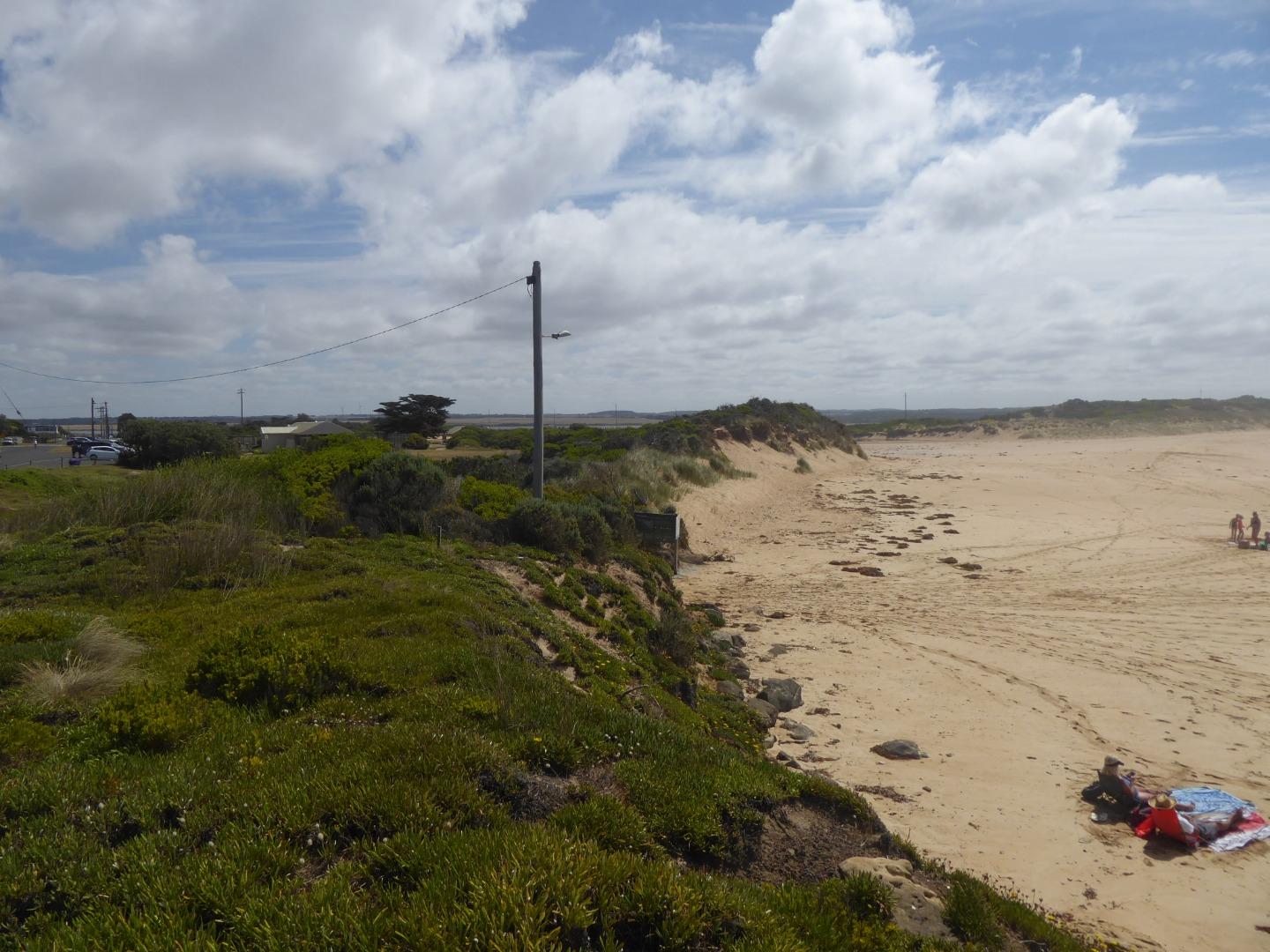
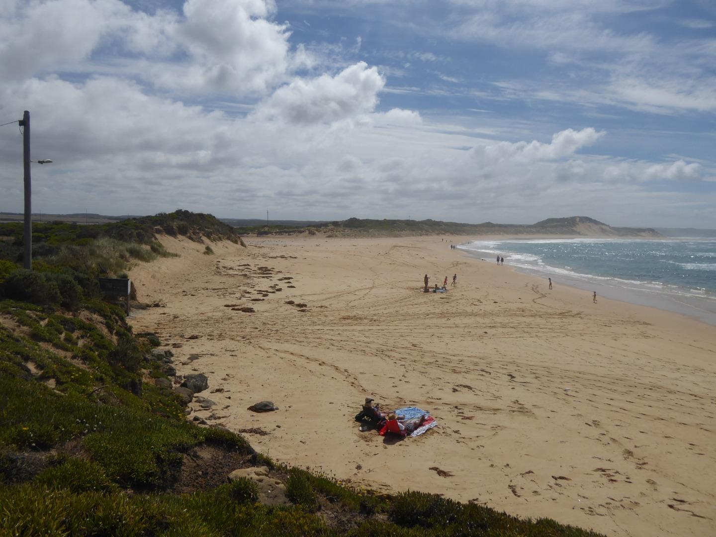
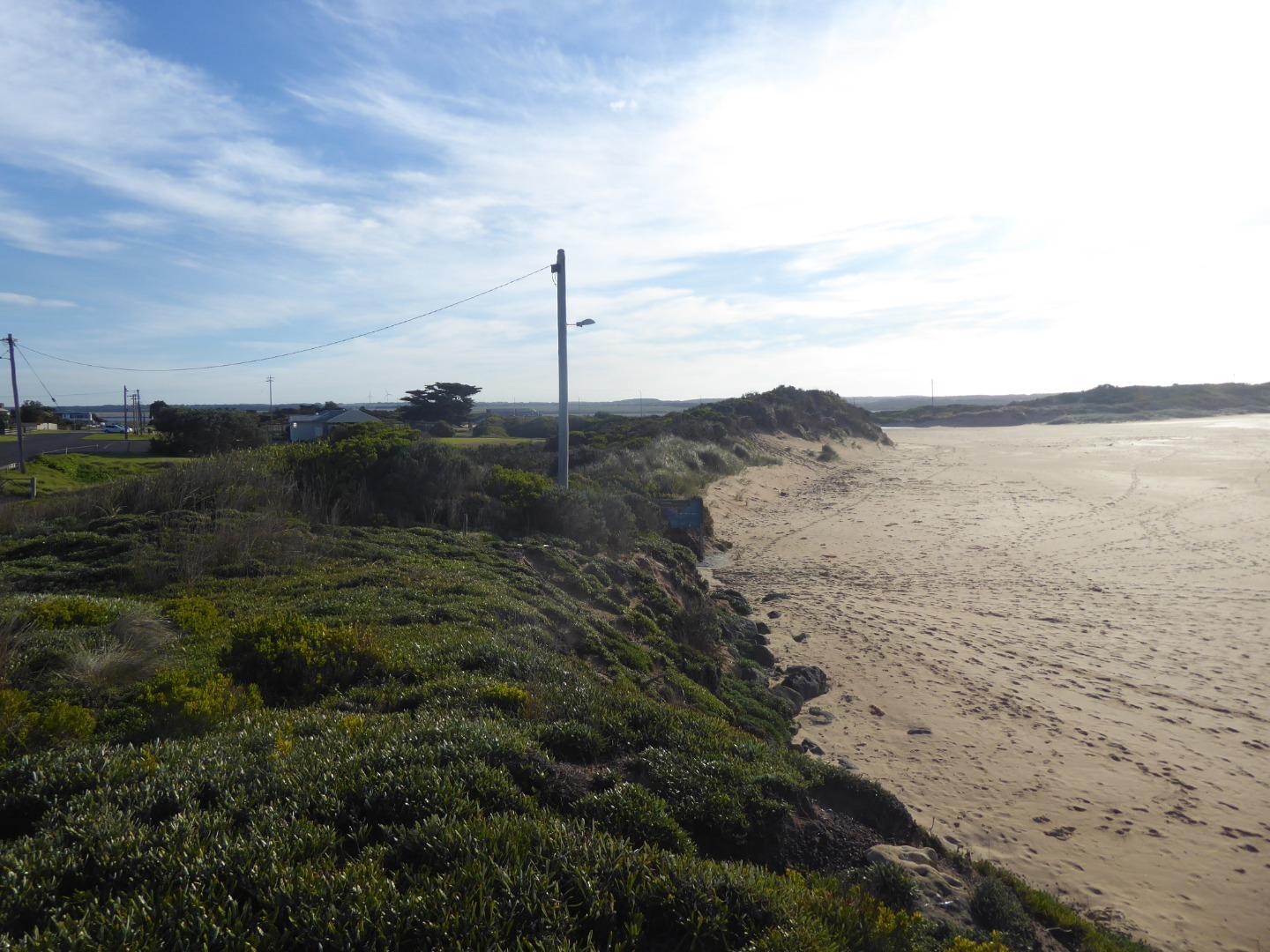
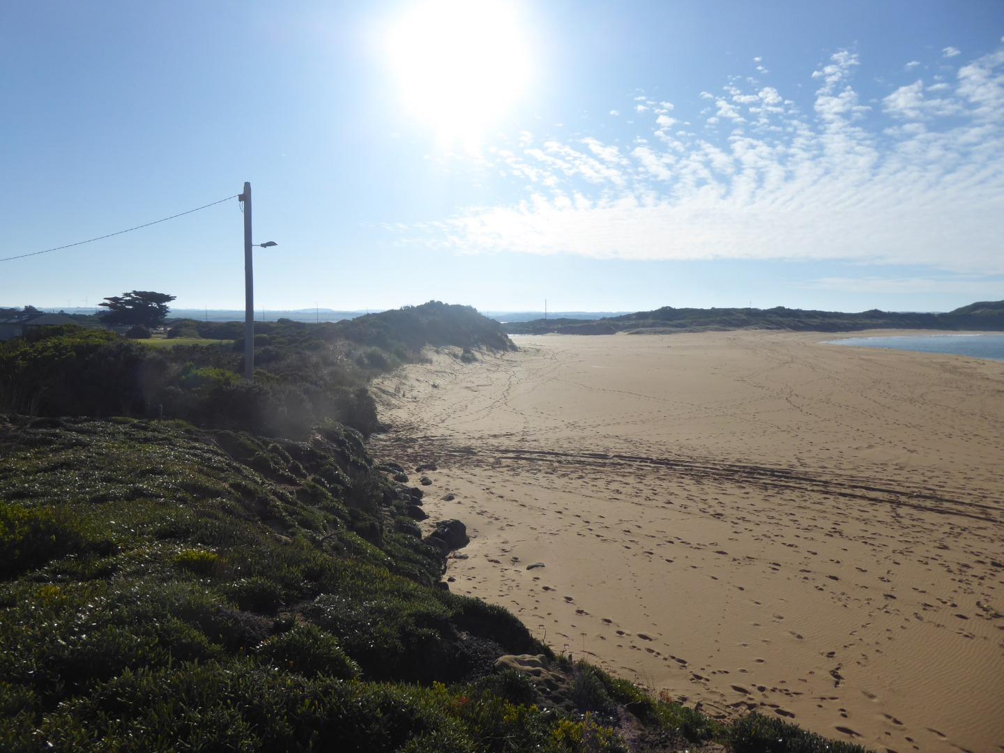
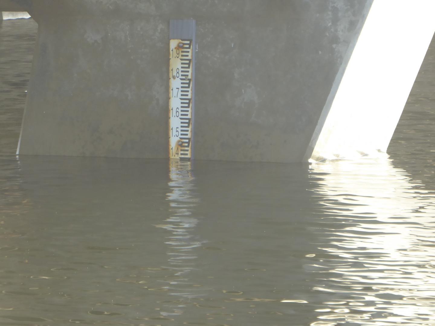
It was not possible to measure the Berm height from either the sea or the river.
the physical conditions for the last two weeks, weres so varied with very strong winds from the North, South and West, as well as calm conditions, with sea states from smooth seas to high seas. |
|
| #13108 | 4 Jun 2019 | Approved | ||
| #13122 | 15 Jun 2019 | Approved |
Notes:
These readings and photos were taken because of information that the river is to be opened tat 5.00 am Sunday 16th June 2019 |
|
| #13128 | 16 Jun 2019 | Approved |
Notes:
River opening commenced at approx 8.00am, and the digger left at approx 10.00am, with low flows of water from the river. 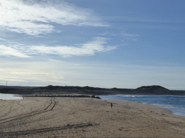 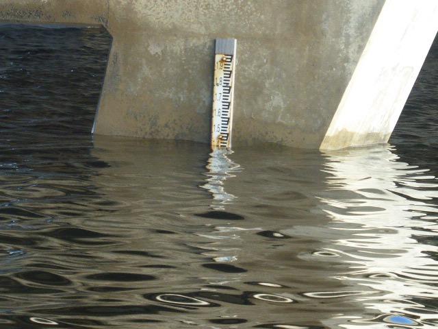 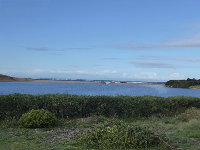 |
|
| #13148 | 17 Jun 2019 | Approved |
Notes:
My apology for the quality of some of the photosa, it apparently slipped back from 5 Meg to 0.3 meg. 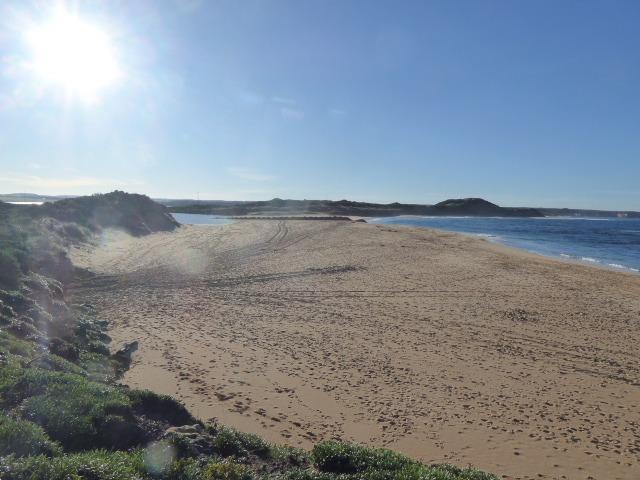 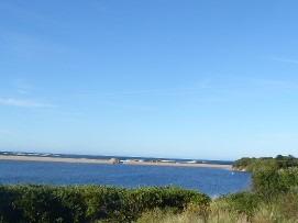 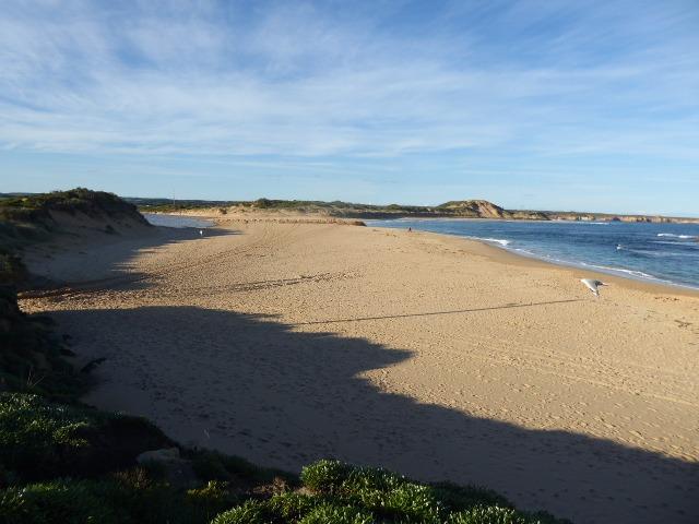 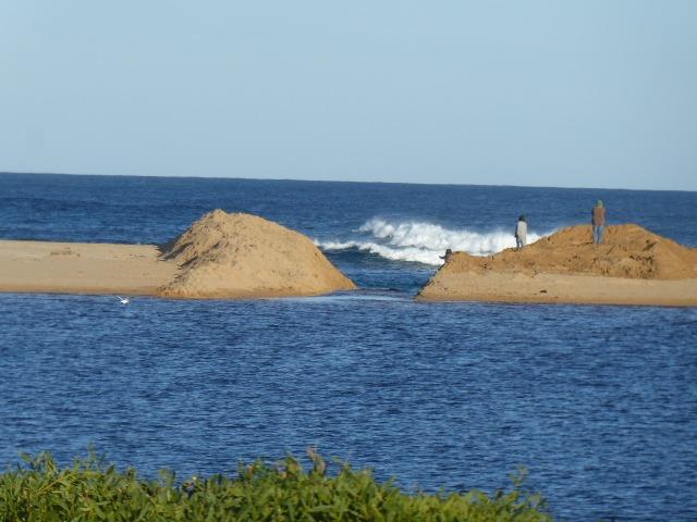 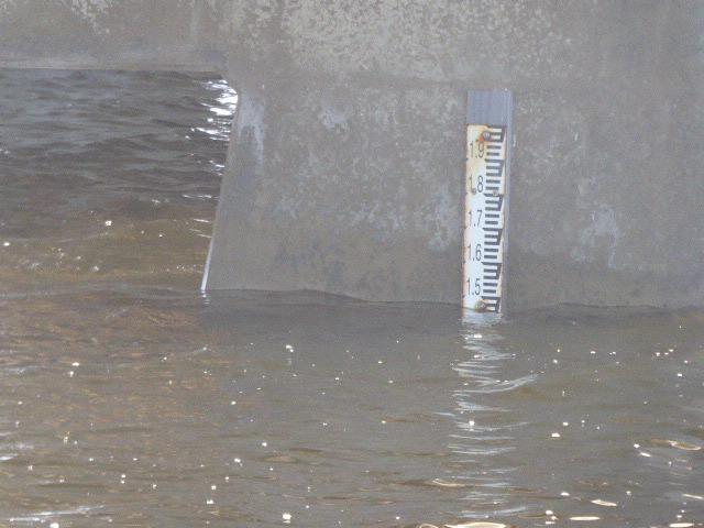 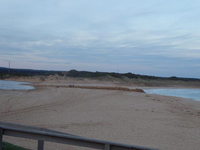 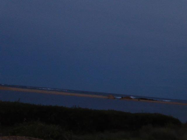 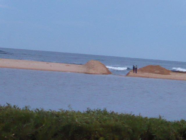 |
|


All content, files, data and images provided by the EstuaryWatch Data Portal and Gallery are subject to a Creative Commons Attribution License
Content is made available to be used in any way, and should always attribute EstuaryWatch and www.estuarywatch.org.au