EstuaryWatch Data Portal
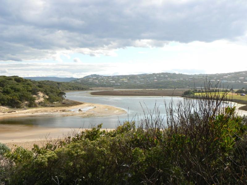
PMC Painkalac Creek Observation Site
15 August 2007
Observation details
Overview
| Estuary | Painkalac Creek Estuary |
|---|---|
| Site | Painkalac Creek Observation Site |
| Observation ID | #10 |
| Date and Time | Wednesday 15th August 2007 15:00pm |
| Approved | Approved |
Notes
Note that recent physical conditions are median values rather than averages. 15 mins subtracted from tide times at Port Phillip Heads (Point Lonsdale). Water level height below gauge board at bridge. The berm was artificially broken through approx. 24 hrs prior to these obs (to avoid flooding of infrastructure)
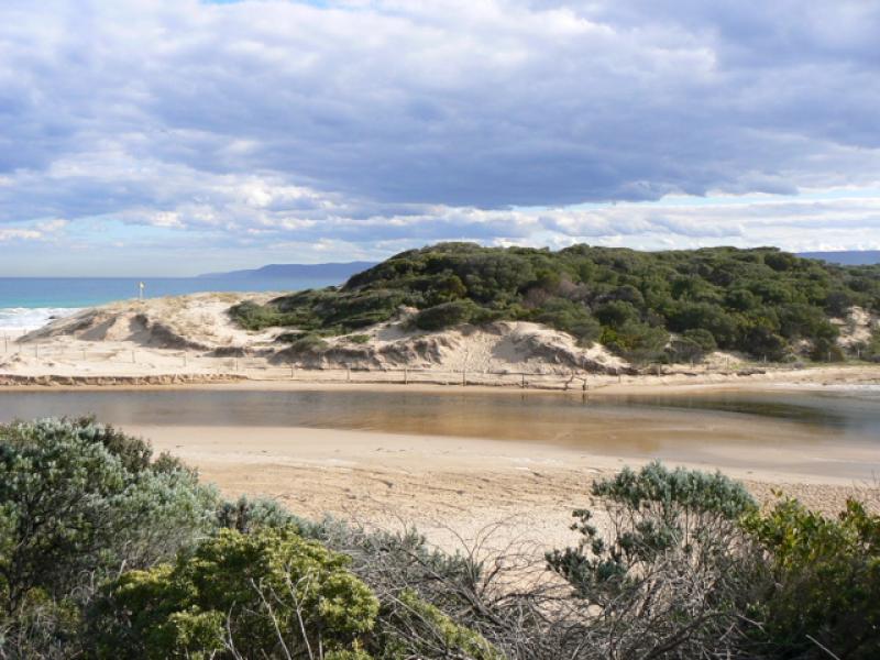
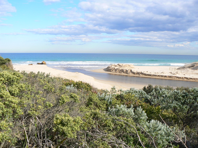
Mouth Observation
| Mouth state | Open |
|---|---|
| Previous | C C C C C |
| Flow Present? | Yes |
| Previous | N N N N N |
| Flow Direction | N/A |
| Previous | N N N N N |
| Above Sea | Above Estuary | |
|---|---|---|
| Berm Height (m) | ||
| Berm Length (m) |
Physical Condition
| Current | Mode | |
|---|---|---|
| Wind Direction | East | South-West |
| Beaufort Scale | Gentle breeze | Moderate breeze |
| Sea State | Slight | Moderate |


All content, files, data and images provided by the EstuaryWatch Data Portal and Gallery are subject to a Creative Commons Attribution License
Content is made available to be used in any way, and should always attribute EstuaryWatch and www.estuarywatch.org.au