EstuaryWatch Data Portal
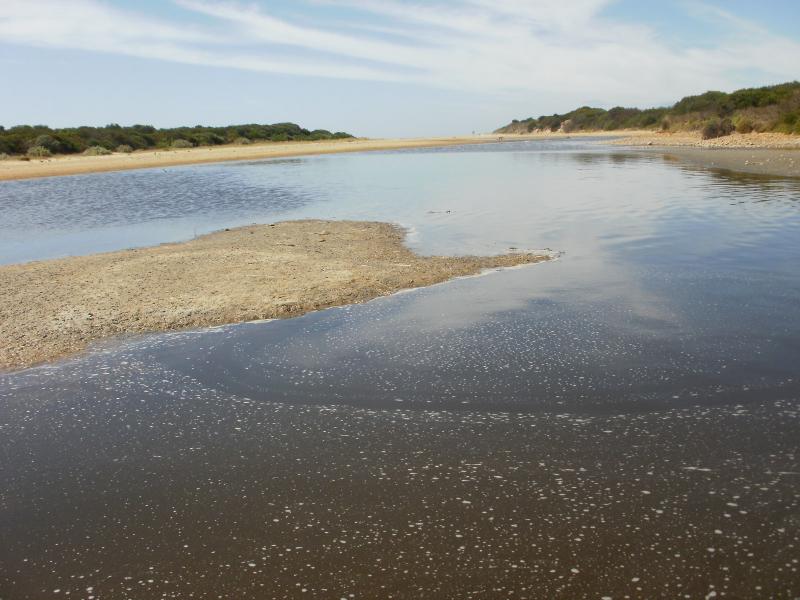
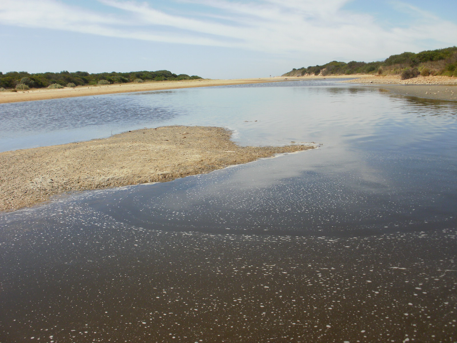
T1 Point Impossible Road Culvert at Mullet Creek
15 February 2016
Observation details
Overview
| Estuary | Thompson Creek Estuary |
|---|---|
| Site | Point Impossible Road Culvert at Mullet Creek |
| Observation ID | #10150 |
| Date and Time | Monday 15th February 2016 10:40am |
| Approved | Approved |
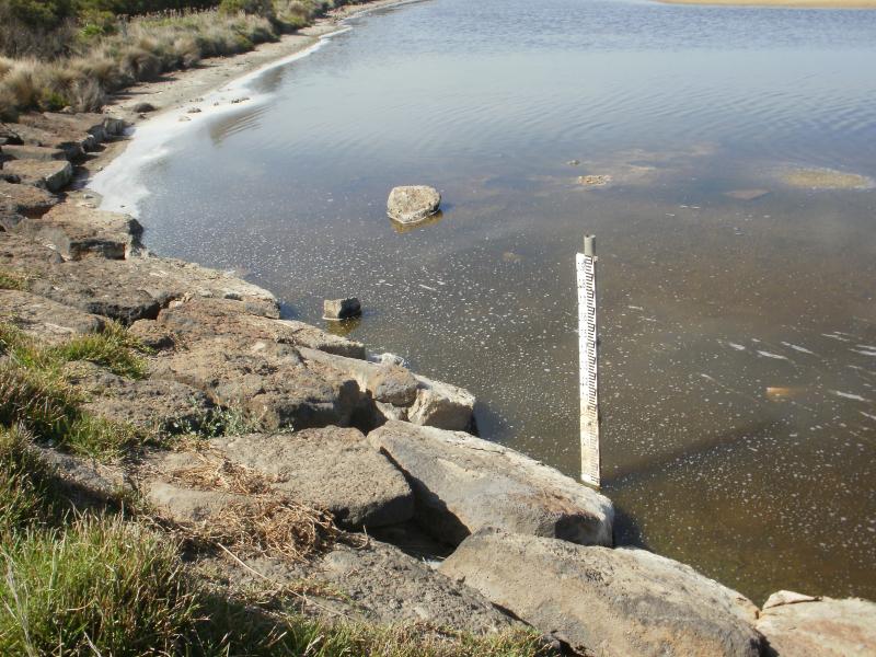
Water Levels and Tides
| Low tide time |
|---|
Depth Profiling
| Depth m | Temperature °C | Salinity ppt | D.O. mg/L | D.O. % sat | EC mS/cm | Notes | |
|---|---|---|---|---|---|---|---|
| 0.1m | 20.80 | 78.89 | 9.23 | 103.6 | 112.70 | ||
| Previous | 23.2 | 86.7 | 0.1 | 1.4 | 123.9 | ||
| Median | 14.9 | 54.67 | 7.44 | 73.40 | 78.1 | ||
| 0.5m | 20.80 | 81.48 | 9.48 | 106.7 | 116.40 | ||
| Previous | 14.8 | 63.2 | 8.7 | 85.5 | 90.3 | ||
| Median | 14.8 | 48.65 | 7.44 | 73.40 | 69.5 | ||
| 0.7m | 21.60 | 82.95 | 0.24 | 2.7 | 118.50 | ||
| Previous | 14.9 | 58.7 | 7.4 | 73.4 | 83.8 | ||
| Median | 14.9 | 48.65 | 7.44 | 73.40 | 69.5 |


All content, files, data and images provided by the EstuaryWatch Data Portal and Gallery are subject to a Creative Commons Attribution License
Content is made available to be used in any way, and should always attribute EstuaryWatch and www.estuarywatch.org.au