EstuaryWatch Data Portal
GMC Gellibrand River Estuary Mouth Observation Site
30 April 2016
Observation details
Overview
| Estuary | Gellibrand River Estuary |
|---|---|
| Site | Gellibrand River Estuary Mouth Observation Site |
| Observation ID | #10277 |
| Date and Time | Saturday 30th April 2016 09:15am |
| Approved | Approved |
Notes
- Observations made near low tide
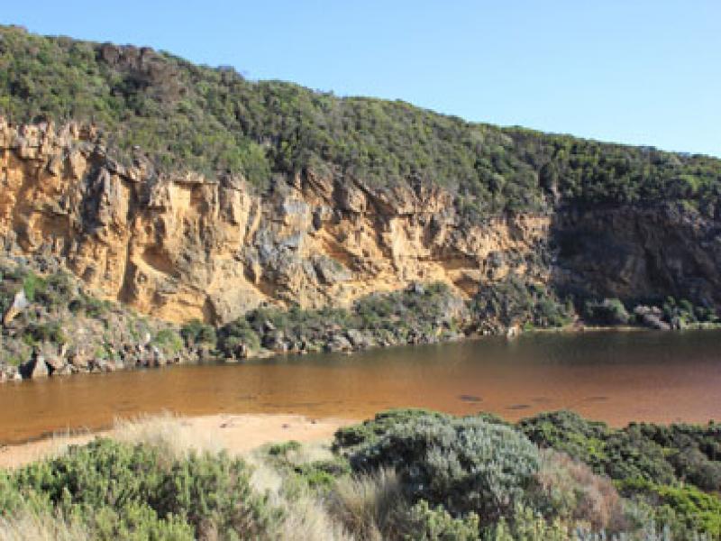
- Berm increased in length. More sand at ocean exposed & more build up out to sea
- Some waves have topped the berm but not gone far up the beach
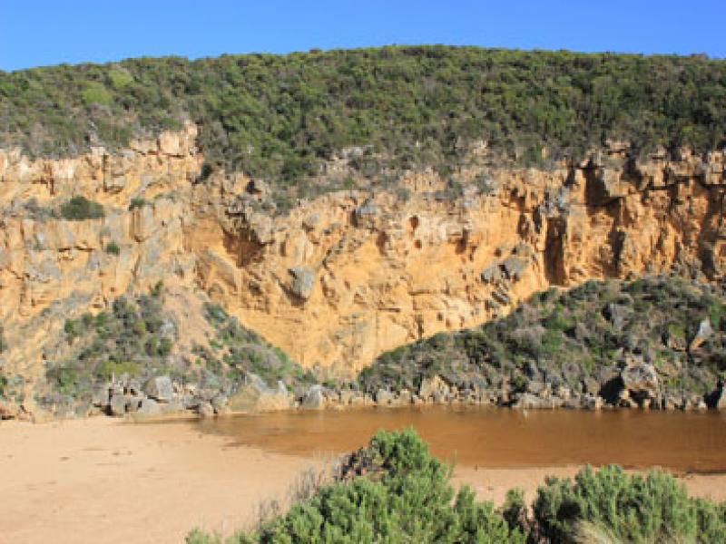
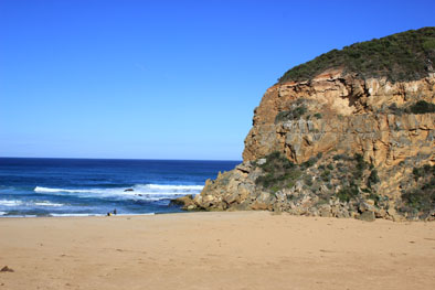
- Beach, wide & curved. At east end, sand projection extending out to sea creating 2nd smaller bay
- WSW swell impacting strongly at east end with longshore drift travelling to projection but not much beyond that area
- Sand build up along berm higher near mouth, reducing in height as it nears western cliff
- Large amount of sand in waves in sea near mouth
- More erosion along southern end of cliff
- Peregrine falcon along cliff
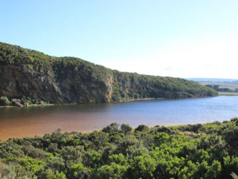
- Top track has more water cover & water is over the low track up to ocean car park
- Run off in camp ground but no water over OCR. Water only along side of OOR at flood markers
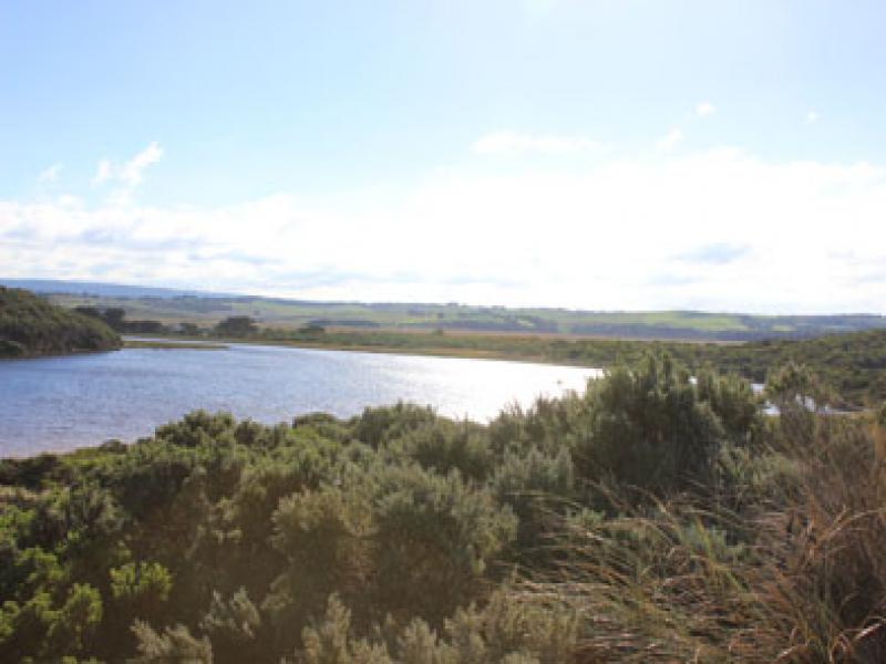
- Princetown wetlands flooded up to G4
- Very large number of water birds in flood waters
- Many o/s tourists photographing birds on wetlands north of Township
- Hooded plover(3) sighted on Rivernook beach
- N wind strengthening throughout monitoring
Mouth Observation
| Mouth state | Closed |
|---|---|
| Previous | O O O P O O O O O O O O O O O O O O O O O O O O O O O O O O O O O O C C C C C C O O O O O O C C O C C O C C C C C O O O O O C C C |
| Flow Present? | No |
| Previous | Y Y Y N Y Y Y Y Y Y Y Y Y Y Y Y Y Y Y Y Y Y Y Y Y Y Y Y Y Y Y Y Y N N N N N N Y Y Y Y Y Y N N N N N N N N N N N Y Y Y Y Y N N N |
| Flow Direction | N/A |
| Previous | O O O N O O O O O O I O I O O I O O O O O O O O O O O O O O O N N N N N N O O O O O O N N N N N N N N N N N O O O O O N N N |
| Above Sea | Above Estuary | |
|---|---|---|
| Berm Height (m) | 0.9m | 0.4m |
| Berm Length (m) | 56.0m |
Physical Condition
| Current | Mode | |
|---|---|---|
| Wind Direction | North | |
| Beaufort Scale | Gentle breeze | |
| Sea State | Moderate |


All content, files, data and images provided by the EstuaryWatch Data Portal and Gallery are subject to a Creative Commons Attribution License
Content is made available to be used in any way, and should always attribute EstuaryWatch and www.estuarywatch.org.au