EstuaryWatch Data Portal
GMC Gellibrand River Estuary Mouth Observation Site
4 May 2016
Observation details
Overview
| Estuary | Gellibrand River Estuary |
|---|---|
| Site | Gellibrand River Estuary Mouth Observation Site |
| Observation ID | #10350 |
| Date and Time | Wednesday 4th May 2016 08:20am |
| Approved | Approved |
Notes
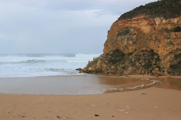
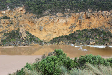
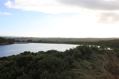
- Mouth closed but waves from V.rough/high sea over, some reaching estuary across a very wide front
- Backwash from waves rolling large amount of sand back to ocean leaving deep channels
- Waves very high up on beach at east end
- Dead mackerel at base of Gp1
- Low track under water up to car park, large amount of water on top track, deep water at west end of camp ground and at sides of OCR
- Water commencing to cross over OOR at flood markers
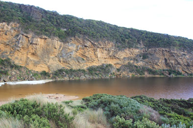
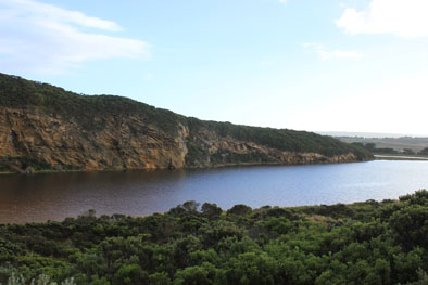
- Extensive flooding from Princetown to G4 and along south side of channel to G5
- Galaxias commencing to spawn in flooded areas.
Mouth Observation
| Mouth state | Closed |
|---|---|
| Previous | O O P O O O O O O O O O O O O O O O O O O O O O O O O O O O O O O C C C C C C O O O O O O C C O C C O C C C C C O O O O O C C C C |
| Flow Present? | No |
| Previous | Y Y N Y Y Y Y Y Y Y Y Y Y Y Y Y Y Y Y Y Y Y Y Y Y Y Y Y Y Y Y Y N N N N N N Y Y Y Y Y Y N N N N N N N N N N N Y Y Y Y Y N N N N |
| Flow Direction | N/A |
| Previous | O O N O O O O O O I O I O O I O O O O O O O O O O O O O O O N N N N N N O O O O O O N N N N N N N N N N N O O O O O N N N N |
| Above Sea | Above Estuary | |
|---|---|---|
| Berm Height (m) | ||
| Berm Length (m) |
Physical Condition
| Current | Mode | |
|---|---|---|
| Wind Direction | North-West | |
| Beaufort Scale | Strong breeze | |
| Sea State | High |


All content, files, data and images provided by the EstuaryWatch Data Portal and Gallery are subject to a Creative Commons Attribution License
Content is made available to be used in any way, and should always attribute EstuaryWatch and www.estuarywatch.org.au