EstuaryWatch Data Portal
GMC Gellibrand River Estuary Mouth Observation Site
5 May 2016
Observation details
Overview
| Estuary | Gellibrand River Estuary |
|---|---|
| Site | Gellibrand River Estuary Mouth Observation Site |
| Observation ID | #10352 |
| Date and Time | Thursday 5th May 2016 08:20am |
| Approved | Approved |
Notes
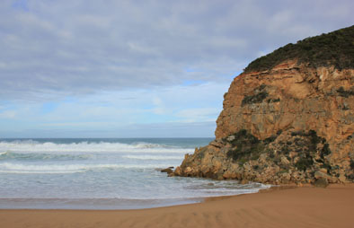
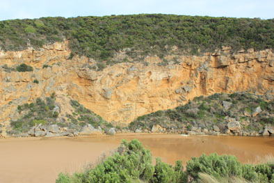
- Mouth barred but waves over on very wide front, travelling up into estuary. Only salt return
- Waves up to dunes at east end from SW swell and high all along beach. Mid beach is higher with reduced wave cover
- Large amount of sand rolling back to ocean with backwash
- Waves tending to sweep around end of dunes below Gp1 and up into estuary. Large 'ripples' left from backwash
- Large amount of sand visible in breakers
- Less distance from estuary to sea, part of largest rock still above sand
- Weak longshore drift across mouth
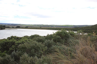
- 2 Bitterns observed near flooded area OOR (early am.)Flood water depth increasing near flood markers and along sides of the road
- GOR -flood water at side of road
- Fishing platform under water with large no. Ibis in that area. Water only at sides of OCR but west end of camp ground well under
- Water through causeway almost to concrete bridge deck at G4
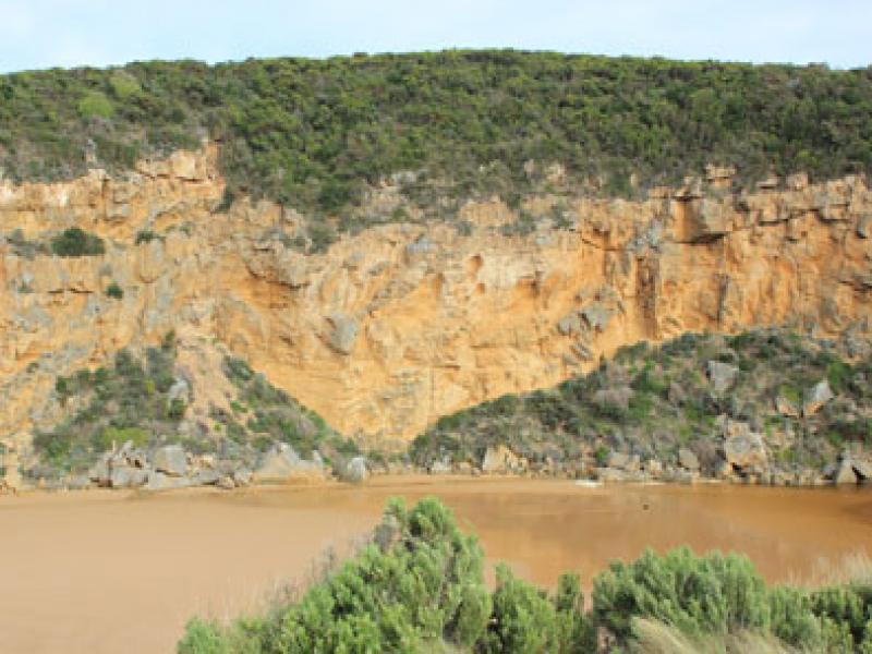
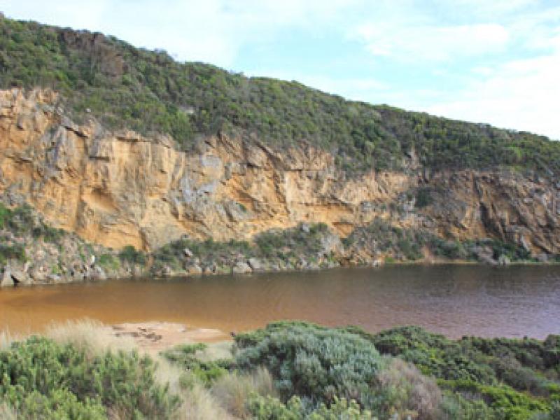
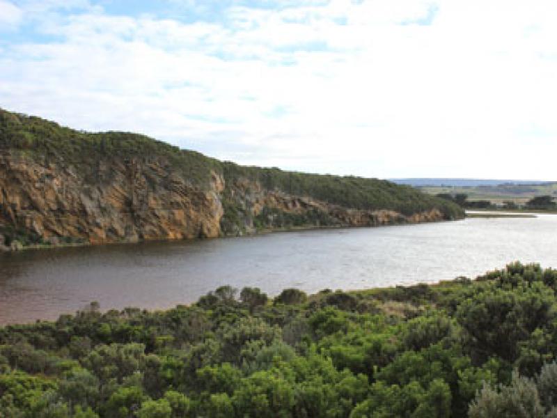
Mouth Observation
| Mouth state | Closed |
|---|---|
| Previous | O O P O O O O O O O O O O O O O O O O O O O O O O O O O O O O O O C C C C C C O O O O O O C C O C C O C C C C C O O O O O C C C C C |
| Flow Present? | No |
| Previous | Y Y N Y Y Y Y Y Y Y Y Y Y Y Y Y Y Y Y Y Y Y Y Y Y Y Y Y Y Y Y Y N N N N N N Y Y Y Y Y Y N N N N N N N N N N N Y Y Y Y Y N N N N N |
| Flow Direction | N/A |
| Previous | O O N O O O O O O I O I O O I O O O O O O O O O O O O O O O N N N N N N O O O O O O N N N N N N N N N N N O O O O O N N N N N |
| Above Sea | Above Estuary | |
|---|---|---|
| Berm Height (m) | ||
| Berm Length (m) |
Physical Condition
| Current | Mode | |
|---|---|---|
| Wind Direction | North | |
| Beaufort Scale | Gentle breeze | |
| Sea State | Very Rough |


All content, files, data and images provided by the EstuaryWatch Data Portal and Gallery are subject to a Creative Commons Attribution License
Content is made available to be used in any way, and should always attribute EstuaryWatch and www.estuarywatch.org.au