EstuaryWatch Data Portal
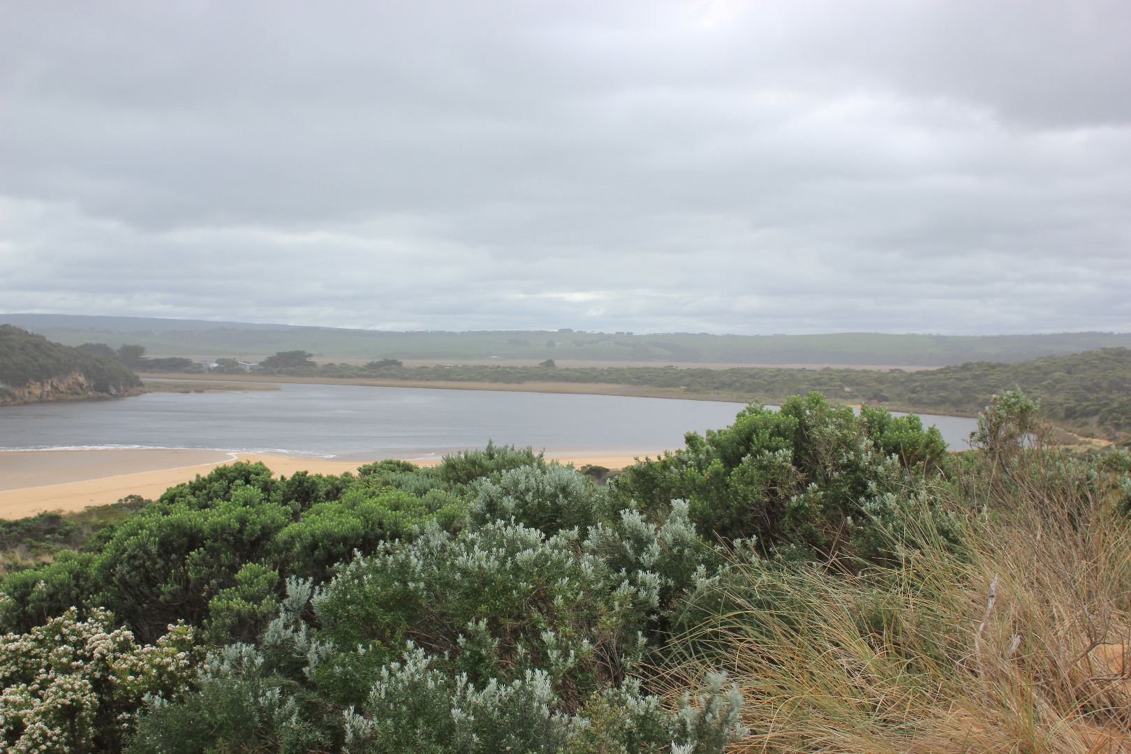
GMC Gellibrand River Estuary Mouth Observation Site
5 September 2016
Observation details
Overview
| Estuary | Gellibrand River Estuary |
|---|---|
| Site | Gellibrand River Estuary Mouth Observation Site |
| Observation ID | #10714 |
| Date and Time | Monday 5th September 2016 11:28am |
| Approved | Approved |
Notes
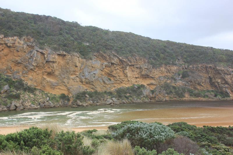
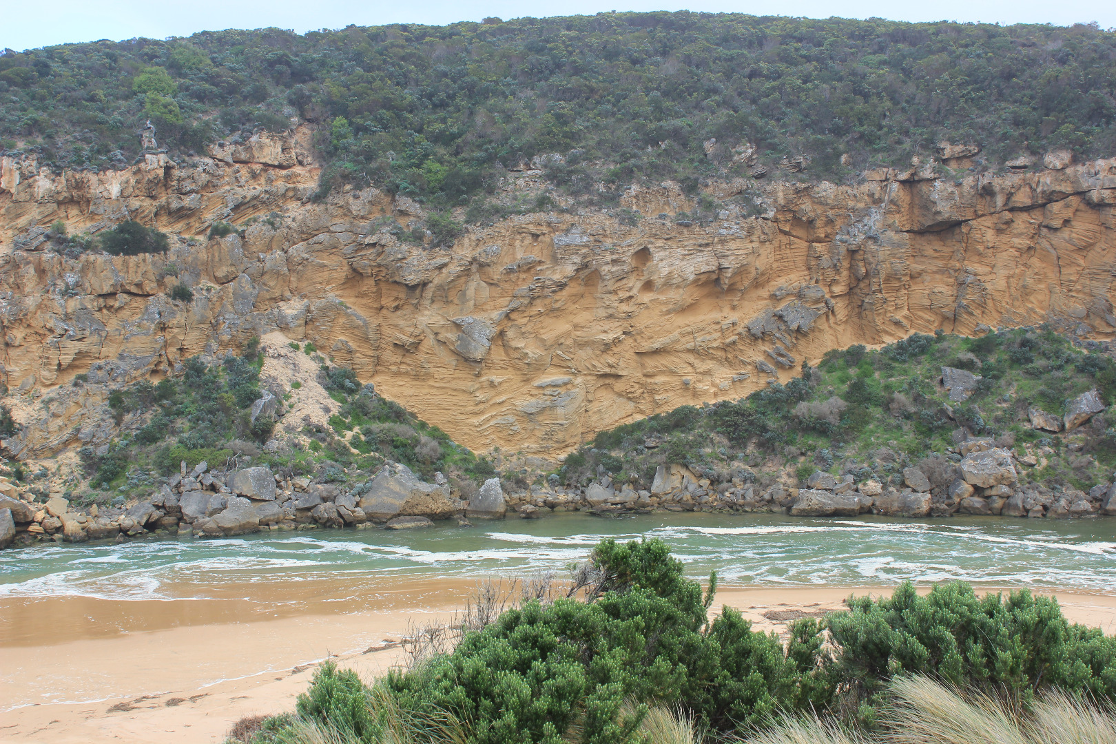
- salt water entering channel up to tunnel entrance at times
- sand building up at enterance (visible up to and around rocks under shallow waves)
- main flow between rocks and cliff
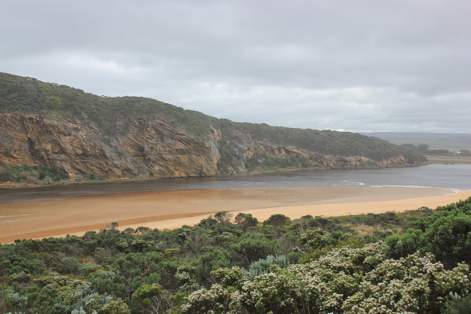
- waves high up on beach (very wide area and highest at mid beach) dragging and rolling sand being tossed by LSD from SW swell impact at east end as it travels to mouth
- east end of beach carves out
- waves travelling N across sand bar in estuary
- 1 hooded plover feeding along coast line
- road excavation at flood marks OOR, water very dark and smells bad
- flood water around G$ water logged
- water still retained around G5 - Cape pondweed prolific
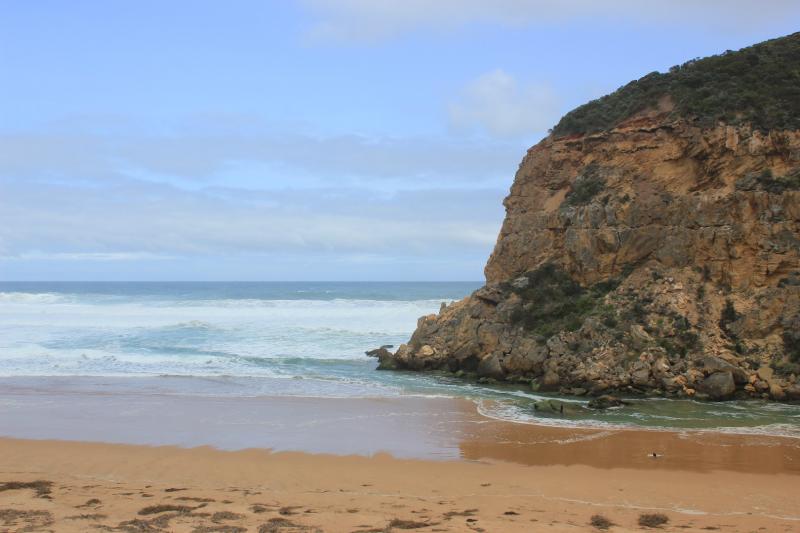
Mouth Observation
| Mouth state | Open |
|---|---|
| Previous | O O O O O O O O O O O O C C C C C C O O O O O O C C O C C O C C C C C O O O O O C C C C C C C C C P C O O O O O O O O O O O O O O |
| Flow Present? | Yes |
| Previous | Y Y Y Y Y Y Y Y Y Y Y Y N N N N N N Y Y Y Y Y Y N N N N N N N N N N N Y Y Y Y Y N N N N N N N N N N N Y Y Y Y Y Y Y Y Y Y Y Y Y Y |
| Flow Direction | In |
| Previous | O O O O O O O O O O O N N N N N N O O O O O O N N N N N N N N N N N O O O O O N N N N N N N N N N N O O O I I I O O O O I O O O |
| Above Sea | Above Estuary | |
|---|---|---|
| Berm Height (m) | ||
| Berm Length (m) |
Physical Condition
| Current | Mode | |
|---|---|---|
| Wind Direction | North | |
| Beaufort Scale | Moderate breeze | |
| Sea State | Very Rough |


All content, files, data and images provided by the EstuaryWatch Data Portal and Gallery are subject to a Creative Commons Attribution License
Content is made available to be used in any way, and should always attribute EstuaryWatch and www.estuarywatch.org.au