EstuaryWatch Data Portal
GMC Gellibrand River Estuary Mouth Observation Site
15 October 2016
Observation details
Overview
| Estuary | Gellibrand River Estuary |
|---|---|
| Site | Gellibrand River Estuary Mouth Observation Site |
| Observation ID | #10717 |
| Date and Time | Saturday 15th October 2016 09:05am |
| Approved | Approved |
Notes
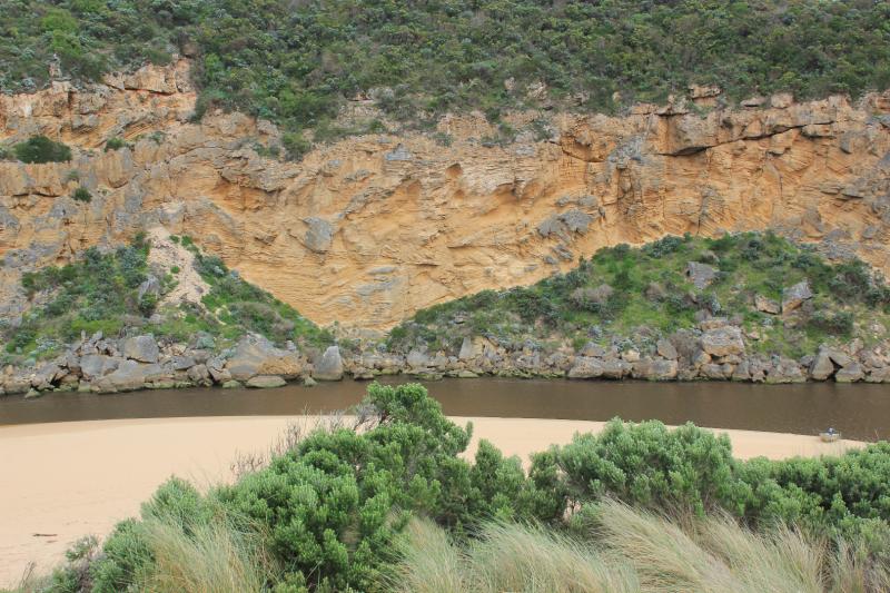
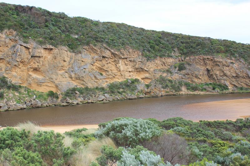
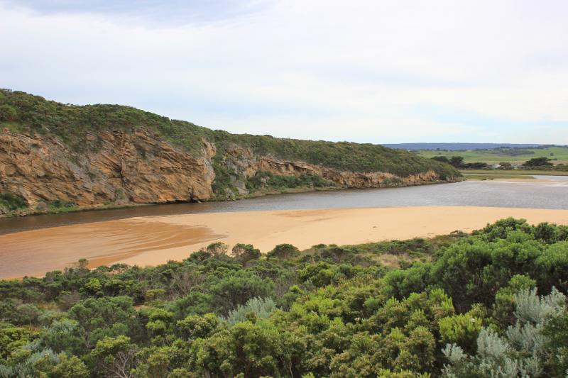
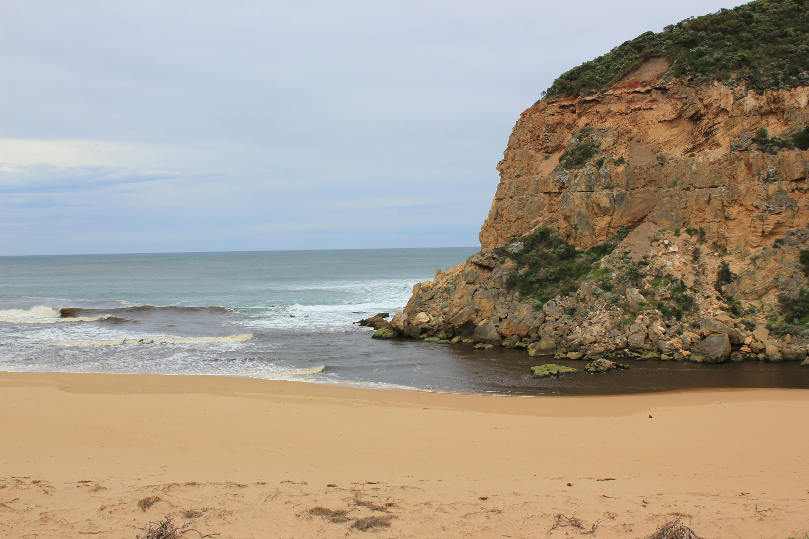
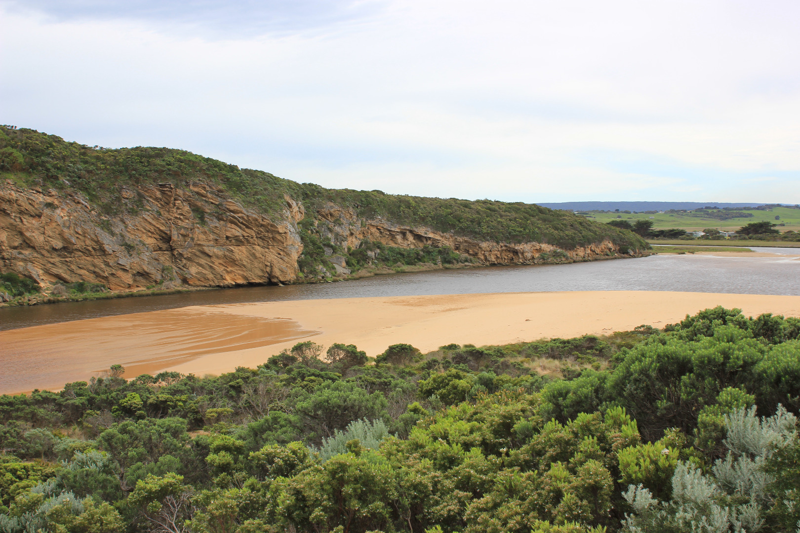
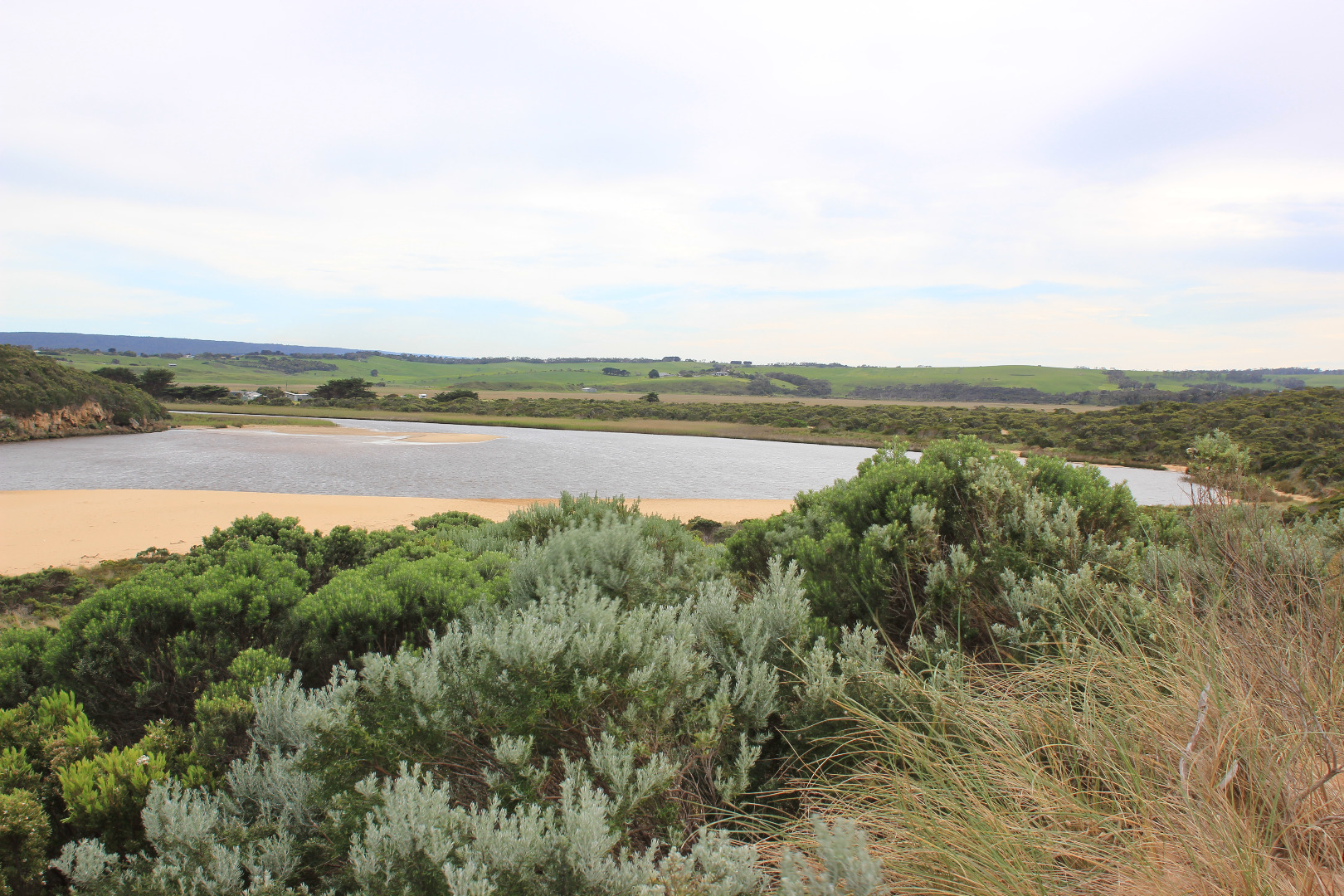
- very dark dirty discharge out directly to east only
- no waves entering / longshore drift present, SW swell continues to impat east end of beach
- beach very high near east end
- very low tide sand bar exposed
- huge expanse of sand S side of esturay exposed extending into estuary well beyond tunnel (distance from sand near tunnel 30m)
- low track has been built up by sand in ,any areas
- sea grass exposed and coveres with silt
- change in shape of sandbar
Mouth Observation
| Mouth state | Open |
|---|---|
| Previous | O O O O O O O C C C C C C O O O O O O C C O C C O C C C C C O O O O O C C C C C C C C C P C O O O O O O O O O O O O O O O O O |
| Flow Present? | Yes |
| Previous | Y Y Y Y Y Y Y N N N N N N Y Y Y Y Y Y N N N N N N N N N N N Y Y Y Y Y N N N N N N N N N N N Y Y Y Y Y Y Y Y Y Y Y Y Y Y Y Y Y |
| Flow Direction | Out |
| Previous | O O O O O O O N N N N N N O O O O O O N N N N N N N N N N N O O O O O N N N N N N N N N N N O O O I I I O O O O I O O O I O O |
| Above Sea | Above Estuary | |
|---|---|---|
| Berm Height (m) | ||
| Berm Length (m) |
Physical Condition
| Current | Mode | |
|---|---|---|
| Wind Direction | North | |
| Beaufort Scale | Fresh breeze | |
| Sea State | Moderate |


All content, files, data and images provided by the EstuaryWatch Data Portal and Gallery are subject to a Creative Commons Attribution License
Content is made available to be used in any way, and should always attribute EstuaryWatch and www.estuarywatch.org.au