EstuaryWatch Data Portal
GMC Gellibrand River Estuary Mouth Observation Site
23 February 2017
Overview
| Estuary | Gellibrand River Estuary |
|---|---|
| Site | Gellibrand River Estuary Mouth Observation Site |
| Observation ID | #10840 |
| Date and Time | Thursday 23rd February 2017 09:17am |
| Approved | Approved |
Notes
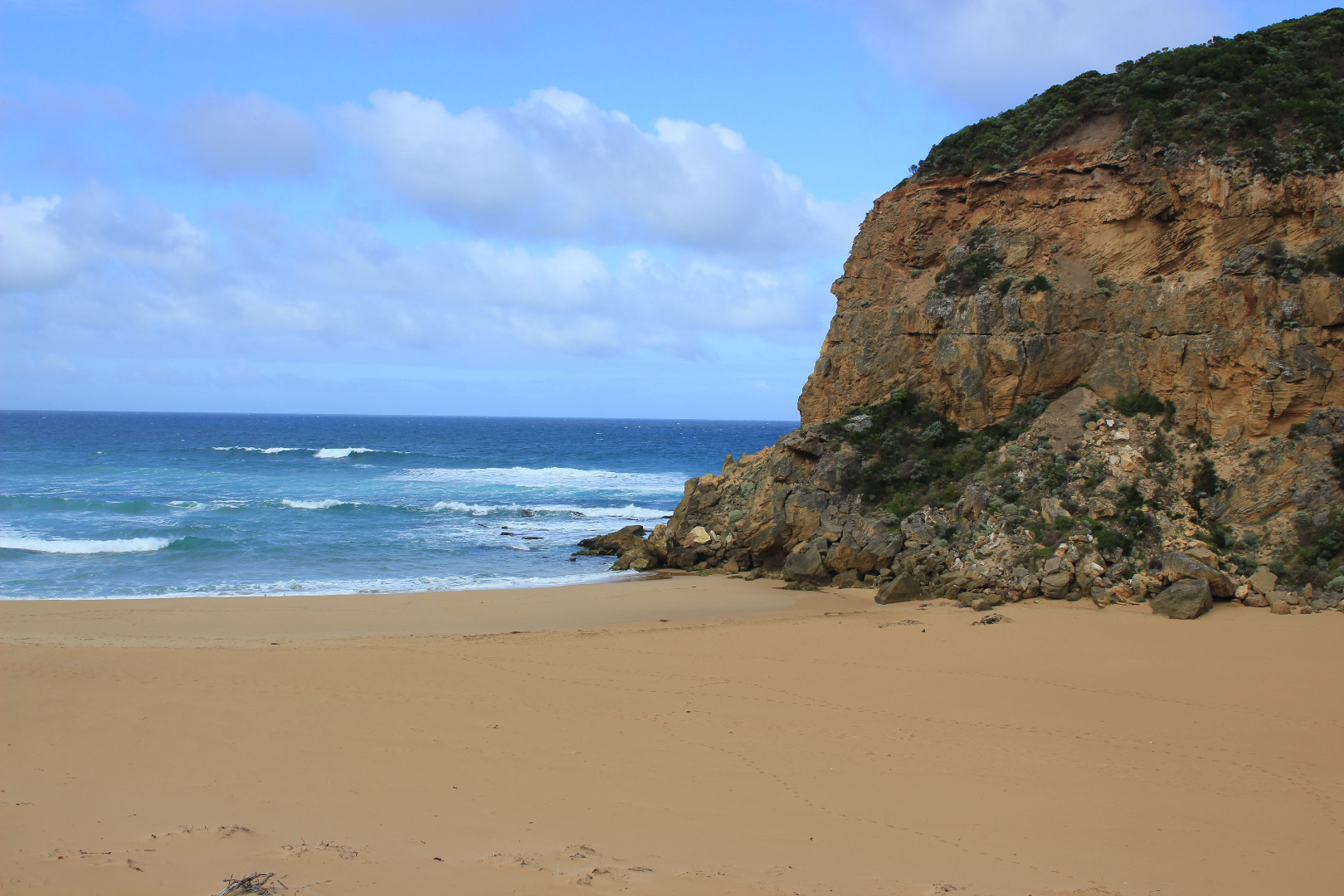
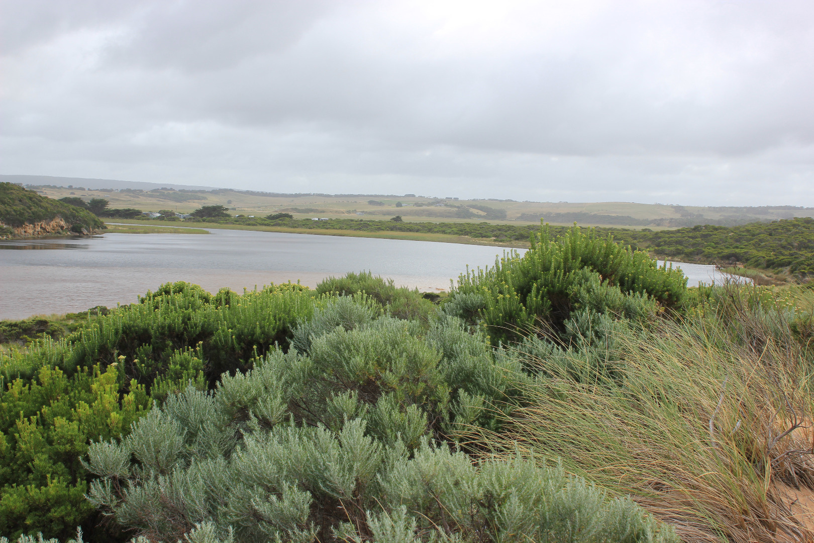
Wide berm formed - low separate berm at beach face, dropping lower before rising up higher near rocks & continuing higher up to estuary
Attempted illegal opening
Beach very high at east end, slightly lower at mid beach but dropping down around mouth. Large irregular high & low areas all along beach
More erosion on south face of Pt. Ronald
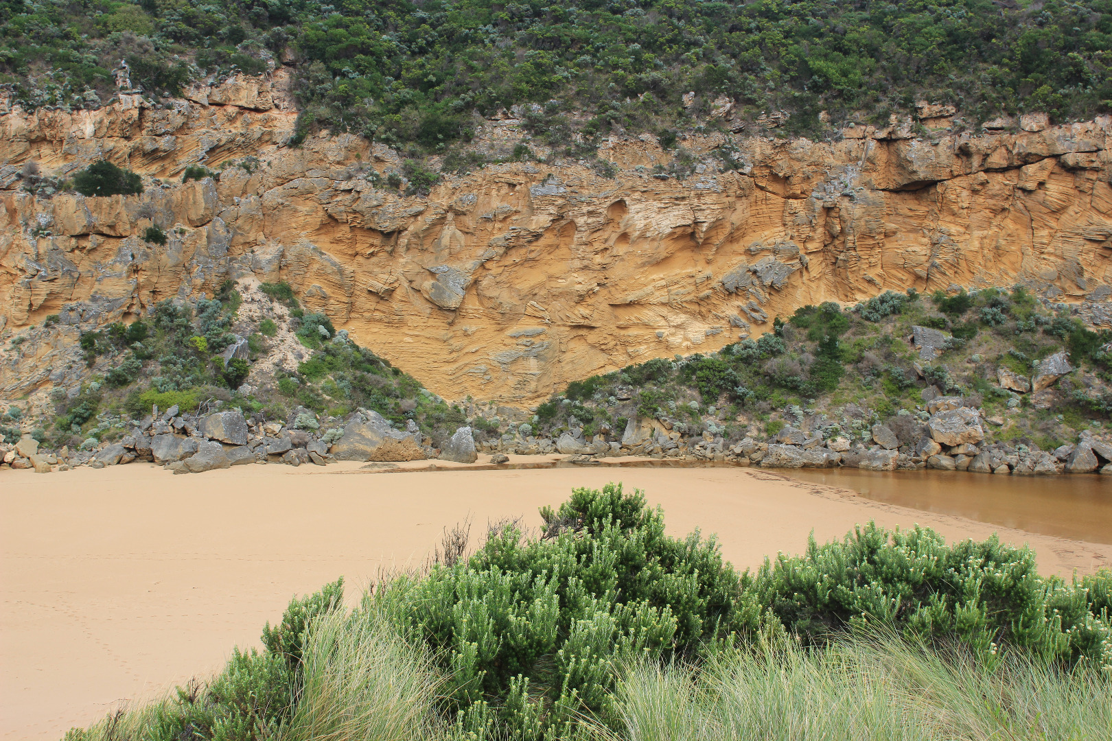
Large sand area visible under water extending into estuary from channel. Low track completely under water but no water on top track
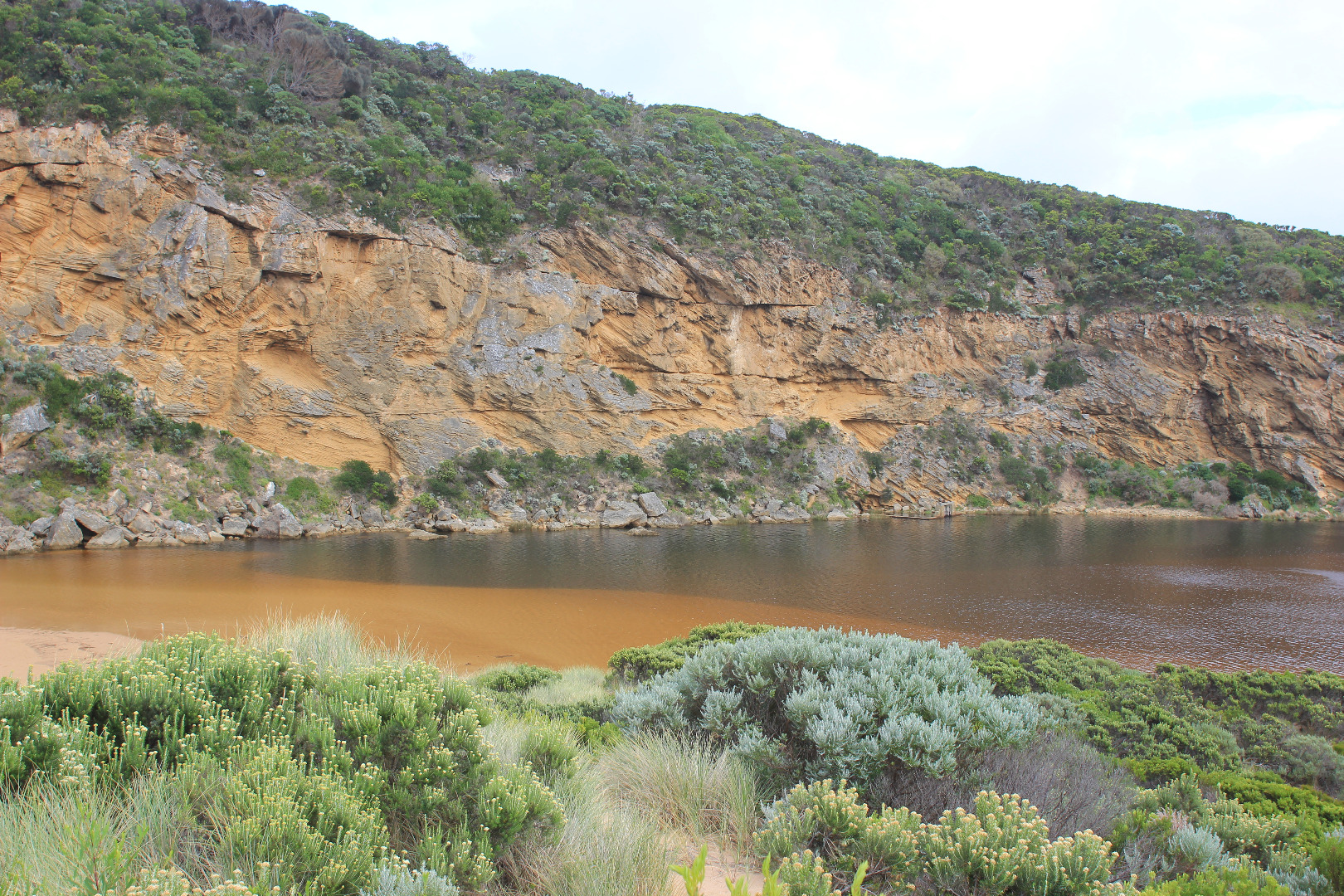
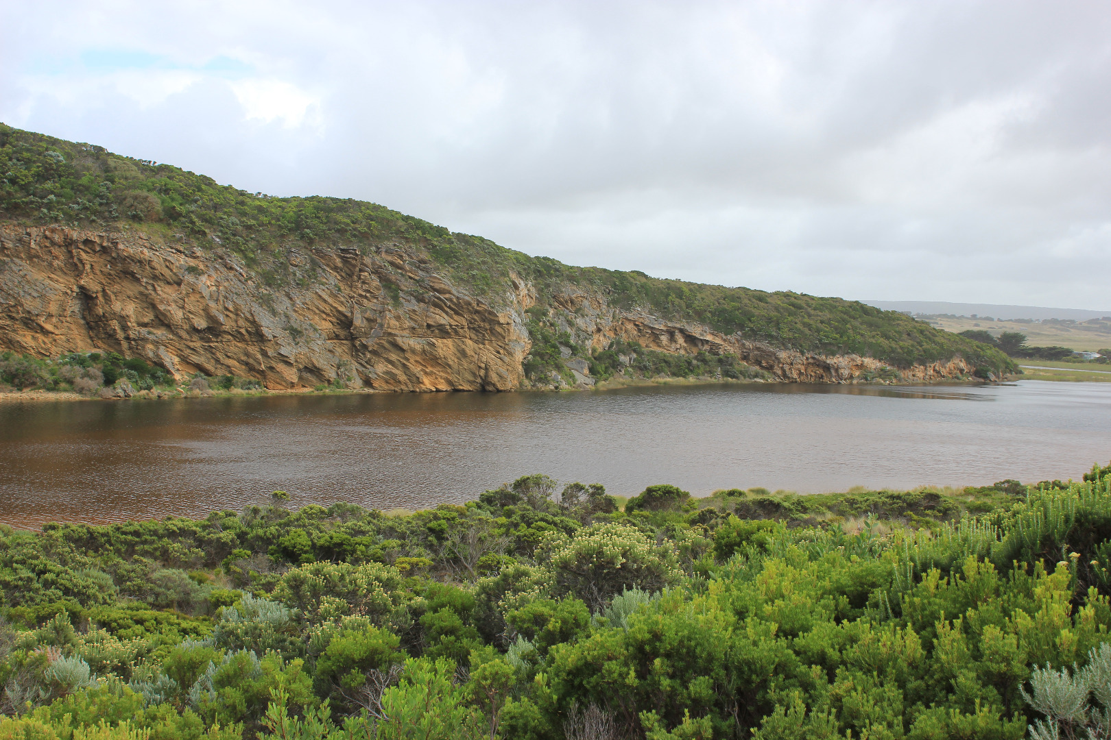
Flooding on flats upstream from Princetown township to G4. Rivernook flats under water & through causeway. Water has filled wide drain at west end of property upstream G4 but no visible water beyond that
Princetown Wetlands now have water cover
Mouth Observation
| Mouth state | Closed |
|---|---|
| Previous | C C C C C O O O O O C C C C C C C C C P C O O O O O O O O O O O O O O O O O O O O O O O O O O O O O O O O O O O P O P |
| Flow Present? | No |
| Previous | N N N N N Y Y Y Y Y N N N N N N N N N N N Y Y Y Y Y Y Y Y Y Y Y Y Y Y Y Y Y Y Y Y Y Y Y Y Y Y Y Y Y Y Y Y Y Y Y Y Y Y |
| Flow Direction | N/A |
| Previous | N N N N N O O O O O N N N N N N N N N N N O O O I I I O O O O I O O O I O O O O O O O O O O O O O O O I I O O O I O I |
| Above Sea | Above Estuary | |
|---|---|---|
| Berm Height (m) | ||
| Berm Length (m) | 0.0m |
Physical Condition
| Current | Mode | |
|---|---|---|
| Wind Direction | South-East | |
| Beaufort Scale | Gentle breeze | |
| Sea State | Moderate |


All content, files, data and images provided by the EstuaryWatch Data Portal and Gallery are subject to a Creative Commons Attribution License
Content is made available to be used in any way, and should always attribute EstuaryWatch and www.estuarywatch.org.au