EstuaryWatch Data Portal
GMC Gellibrand River Estuary Mouth Observation Site
1 March 2017
Overview
| Estuary | Gellibrand River Estuary |
|---|---|
| Site | Gellibrand River Estuary Mouth Observation Site |
| Observation ID | #10981 |
| Date and Time | Wednesday 1st March 2017 08:55am |
| Approved | Approved |
Notes
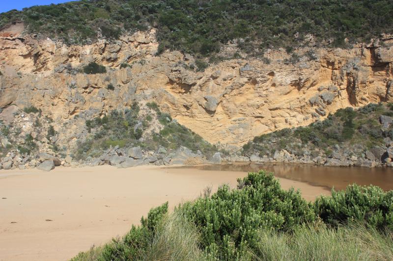
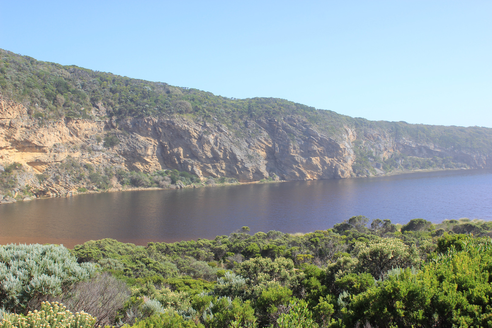
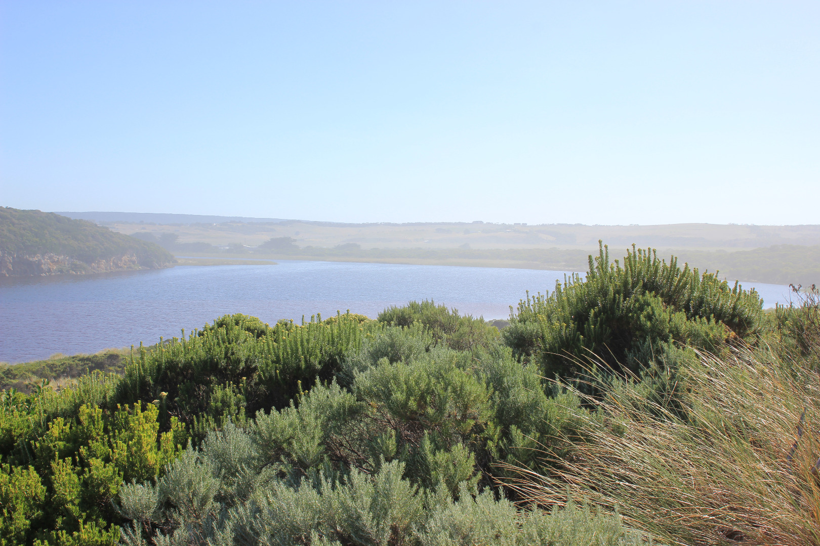
Mouth barred but rise in water level has brought estuary closer to sea. Berm is quite low near swash line. Waves have been over the front & travelled about 1/2 way up to the estuary at last hi tide. Long shore drift active across in front of mouth. Sea was moderate but an occasional strong wave surge was going over berm further east
Observations were taken near low tide & waves too dynamic to get accurate berm height at ocean side
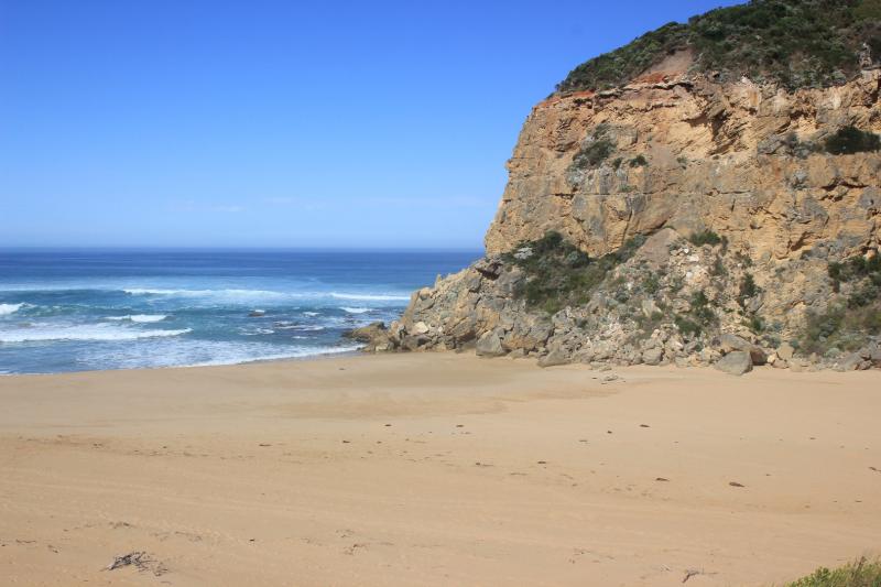
Ocean beach has 2 horseshoe areas, highest at east end where water has been up almost to sand dunes. Backwash has eroded the front in new formations. Between the 2 areas a high sand spit projects well out to sea
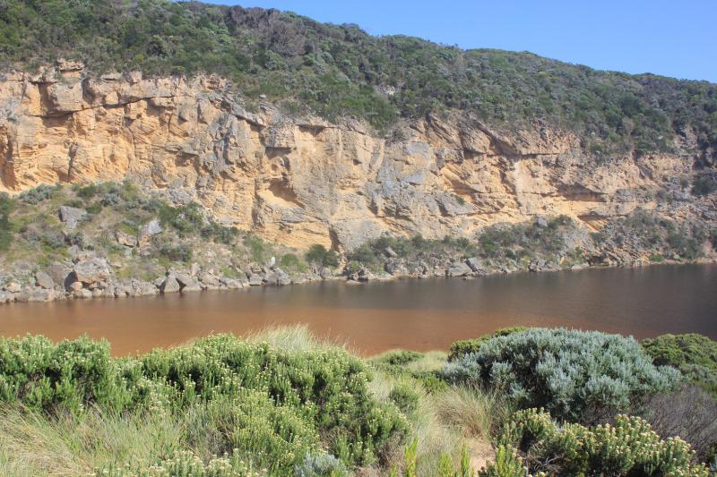
Algae is forming over large areas of the wetlands especially Latrobe creek area. Water at G2 is very still with a film across the surface
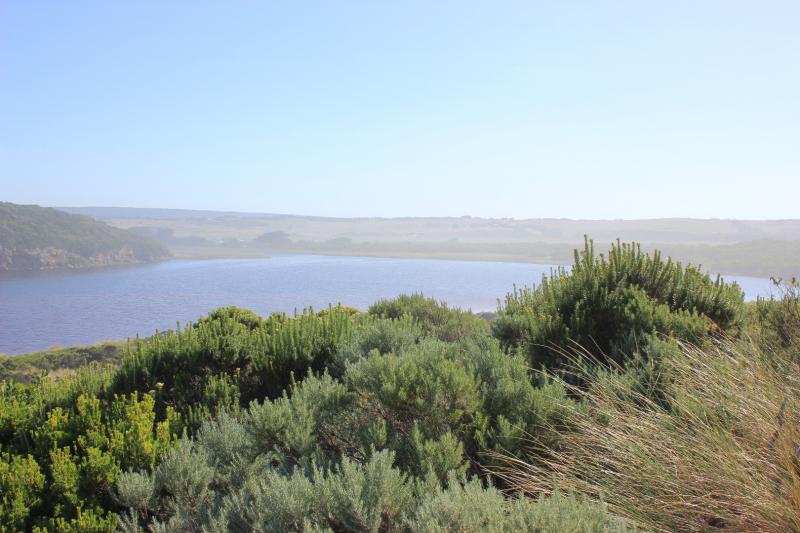
Many small fish active in shallow water along side low track, also many dragonflies -also large flock of Terns & silver gulls on ocean beach
Mouth Observation
| Mouth state | Closed |
|---|---|
| Previous | C C C C O O O O O C C C C C C C C C P C O O O O O O O O O O O O O O O O O O O O O O O O O O O O O O O O O O O P O P C |
| Flow Present? | No |
| Previous | N N N N Y Y Y Y Y N N N N N N N N N N N Y Y Y Y Y Y Y Y Y Y Y Y Y Y Y Y Y Y Y Y Y Y Y Y Y Y Y Y Y Y Y Y Y Y Y Y Y Y N |
| Flow Direction | N/A |
| Previous | N N N N O O O O O N N N N N N N N N N N O O O I I I O O O O I O O O I O O O O O O O O O O O O O O O I I O O O I O I N |
| Above Sea | Above Estuary | |
|---|---|---|
| Berm Height (m) | 0.6m | 0.5m |
| Berm Length (m) | 68.0m |
Physical Condition
| Current | Mode | |
|---|---|---|
| Wind Direction | South-East | |
| Beaufort Scale | Light Breeze | |
| Sea State | Moderate |


All content, files, data and images provided by the EstuaryWatch Data Portal and Gallery are subject to a Creative Commons Attribution License
Content is made available to be used in any way, and should always attribute EstuaryWatch and www.estuarywatch.org.au