EstuaryWatch Data Portal
GMC Gellibrand River Estuary Mouth Observation Site
11 April 2017
Overview
| Estuary | Gellibrand River Estuary |
|---|---|
| Site | Gellibrand River Estuary Mouth Observation Site |
| Observation ID | #11092 |
| Date and Time | Tuesday 11th April 2017 09:50am |
| Approved | Approved |
Notes
AHD @ G6 1.91@12:12
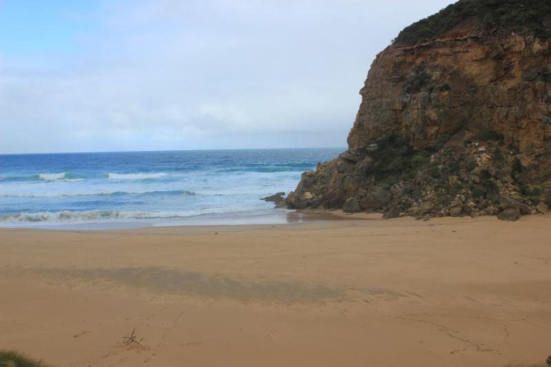
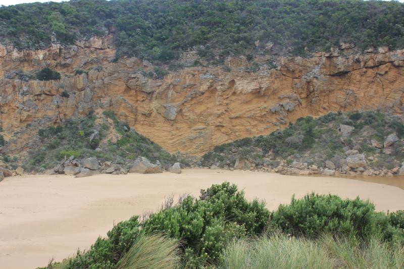
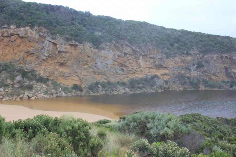
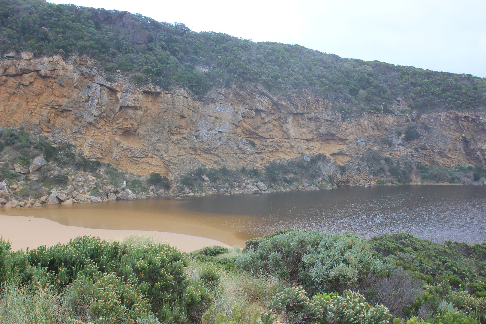
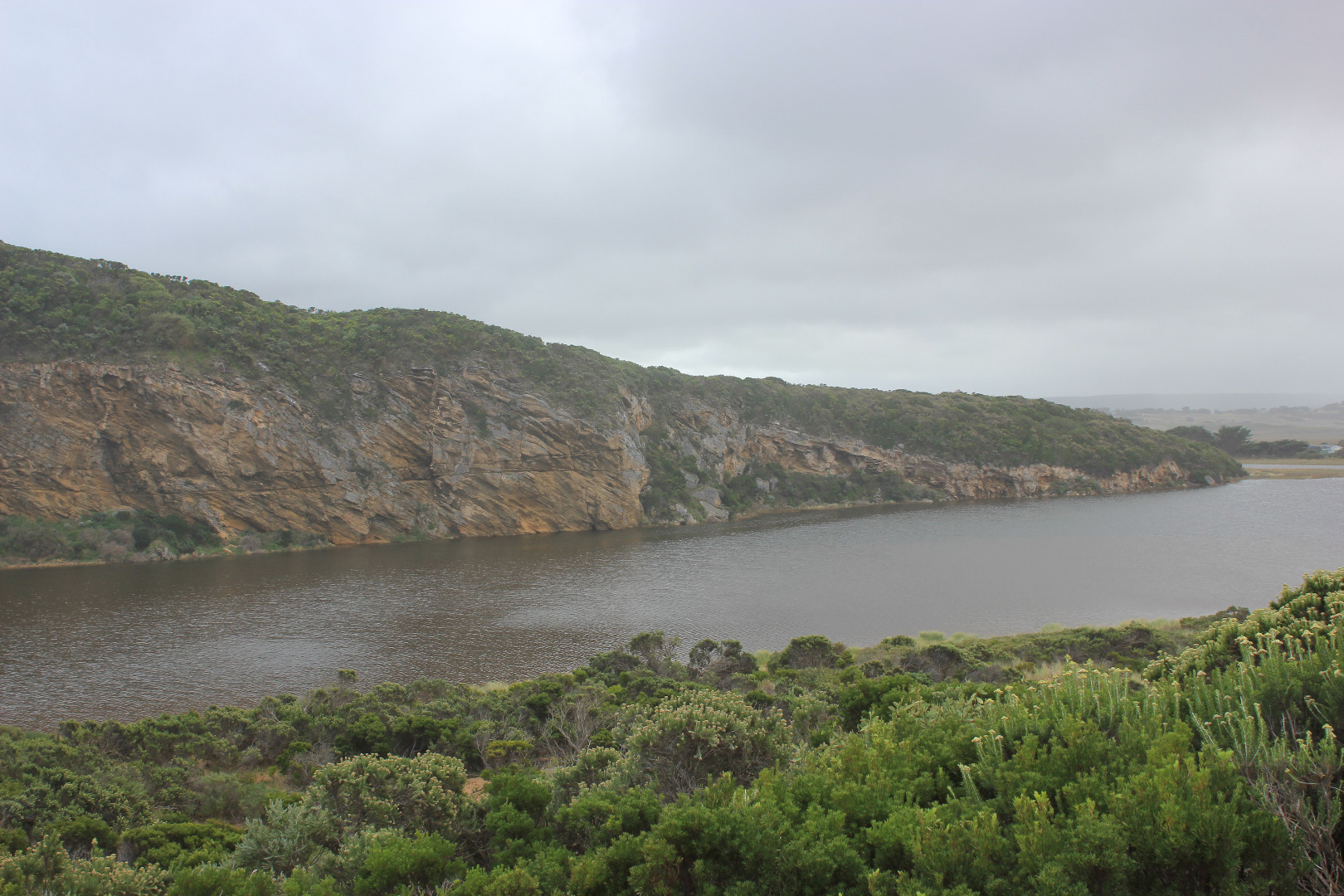
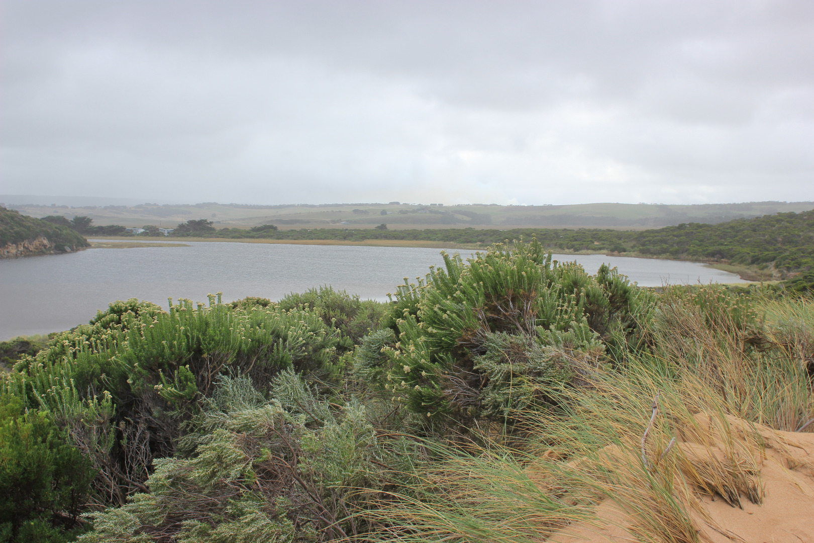
Mouth closed but waves have pushed more sand into entrance & along channel. Sand has covered more of the rock and pushed further north into the estuary. Very loose wind blown sand at head of estuary to a depth of .30m (quicksand)
1st berm at beach face has been removed & length of berm shortened to about 91m with gradual slope to sea
Storm surge previous during previous days has reached dunes all along the beach then turned west (long shore drift) to entrance,channel & into estuary. Dunes have also been reshaped by wind -sand covering veg. at Gp1 site
Water in low areas at camp ground, at sides of OCR & across OOR at flood markers (about .25m)
Mouth Observation
| Mouth state | Closed |
|---|---|
| Previous | C C C C C C C C P C O O O O O O O O O O O O O O O O O O O O O O O O O O O O O O O O O O O P O P C C O O O O O O O C O C |
| Flow Present? | No |
| Previous | N N N N N N N N N N Y Y Y Y Y Y Y Y Y Y Y Y Y Y Y Y Y Y Y Y Y Y Y Y Y Y Y Y Y Y Y Y Y Y Y Y Y Y N N Y Y Y N Y Y Y N N N |
| Flow Direction | N/A |
| Previous | N N N N N N N N N N O O O I I I O O O O I O O O I O O O O O O O O O O O O O O O I I O O O I O I N N O O I N O O O N N N |
| Above Sea | Above Estuary | |
|---|---|---|
| Berm Height (m) | ||
| Berm Length (m) | 0.0m |
Physical Condition
| Current | Mode | |
|---|---|---|
| Wind Direction | South | |
| Beaufort Scale | Moderate breeze | |
| Sea State | Rough |


All content, files, data and images provided by the EstuaryWatch Data Portal and Gallery are subject to a Creative Commons Attribution License
Content is made available to be used in any way, and should always attribute EstuaryWatch and www.estuarywatch.org.au