EstuaryWatch Data Portal
GMC Gellibrand River Estuary Mouth Observation Site
13 April 2017
Overview
| Estuary | Gellibrand River Estuary |
|---|---|
| Site | Gellibrand River Estuary Mouth Observation Site |
| Observation ID | #11093 |
| Date and Time | Thursday 13th April 2017 07:05am |
| Approved | Approved |
Notes
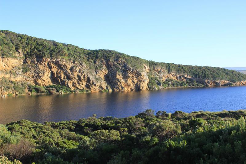
Artificial opening commenced 08:40 - complete 09:30. flowing strongly out. AHD level continued to rise till after midday
Berm was opened from near midway across the estuary front where waves had entered during previous high tides. Waves were going high up on the beach at that time.
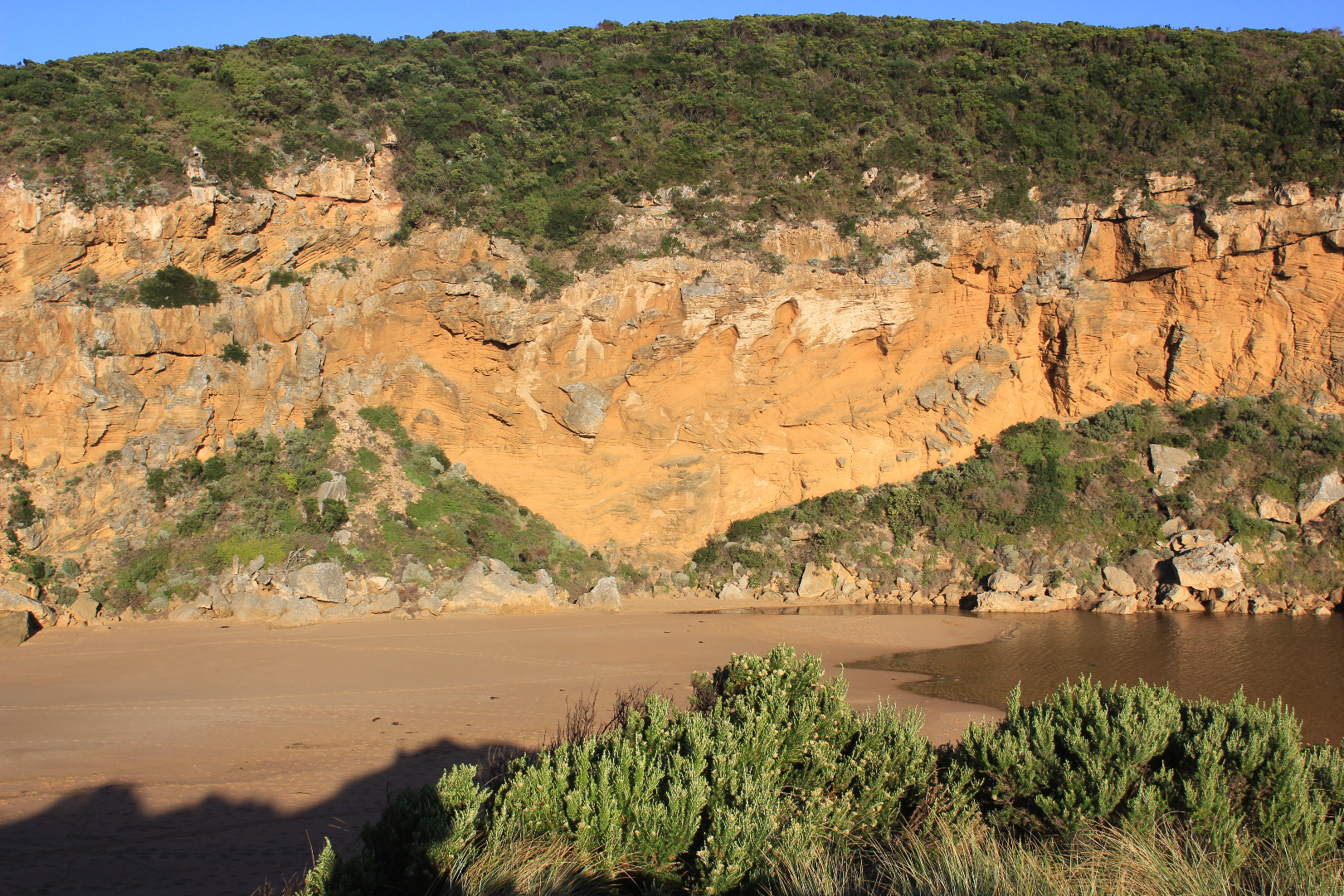
The excavation channel went straight over part of first completely submerged rock with the excavated sand being placed all along the west bank - apart from a very small area placed on the east, directly at swash line.
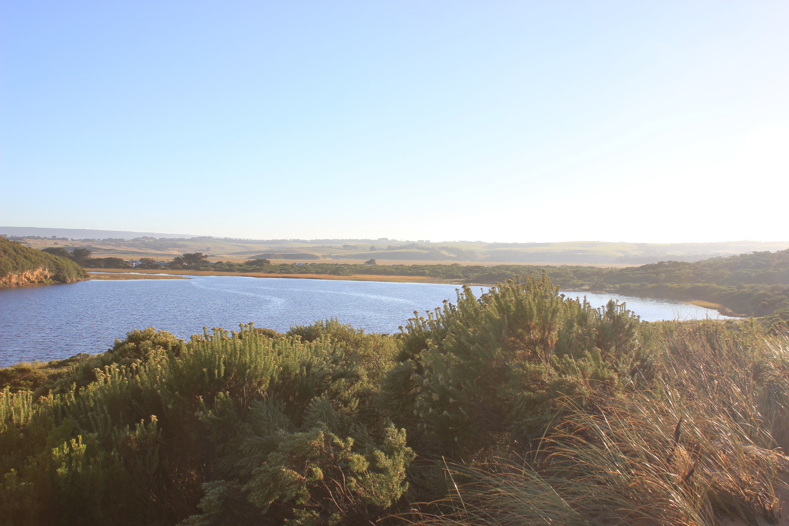
Camp ground flooded & water at sides of OCR. GOR had water 1/2 way across & OOR water up to about .25m at flood markers near blocked culverts
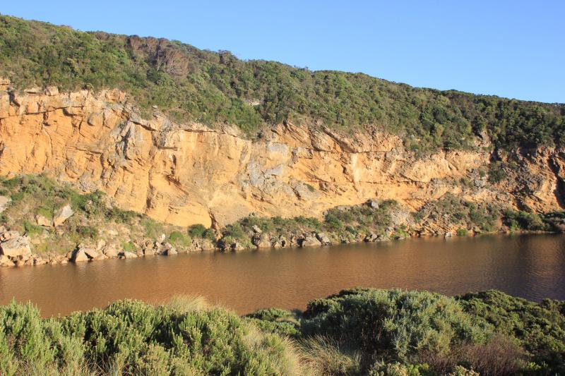
Mouth Observation
| Mouth state | Closed |
|---|---|
| Previous | C C C C C C C C P C O O O O O O O O O O O O O O O O O O O O O O O O O O O O O O O O O O O P O P C C O O O O O O O C O C C |
| Flow Present? | No |
| Previous | N N N N N N N N N N Y Y Y Y Y Y Y Y Y Y Y Y Y Y Y Y Y Y Y Y Y Y Y Y Y Y Y Y Y Y Y Y Y Y Y Y Y Y N N Y Y Y N Y Y Y N N N N |
| Flow Direction | N/A |
| Previous | N N N N N N N N N N O O O I I I O O O O I O O O I O O O O O O O O O O O O O O O I I O O O I O I N N O O I N O O O N N N N |
| Above Sea | Above Estuary | |
|---|---|---|
| Berm Height (m) | ||
| Berm Length (m) |
Physical Condition
| Current | Mode | |
|---|---|---|
| Wind Direction | North | |
| Beaufort Scale | Gentle breeze | |
| Sea State | Moderate |


All content, files, data and images provided by the EstuaryWatch Data Portal and Gallery are subject to a Creative Commons Attribution License
Content is made available to be used in any way, and should always attribute EstuaryWatch and www.estuarywatch.org.au