EstuaryWatch Data Portal
Observation details
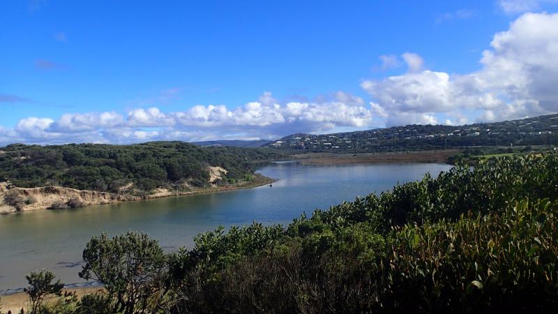
Overview
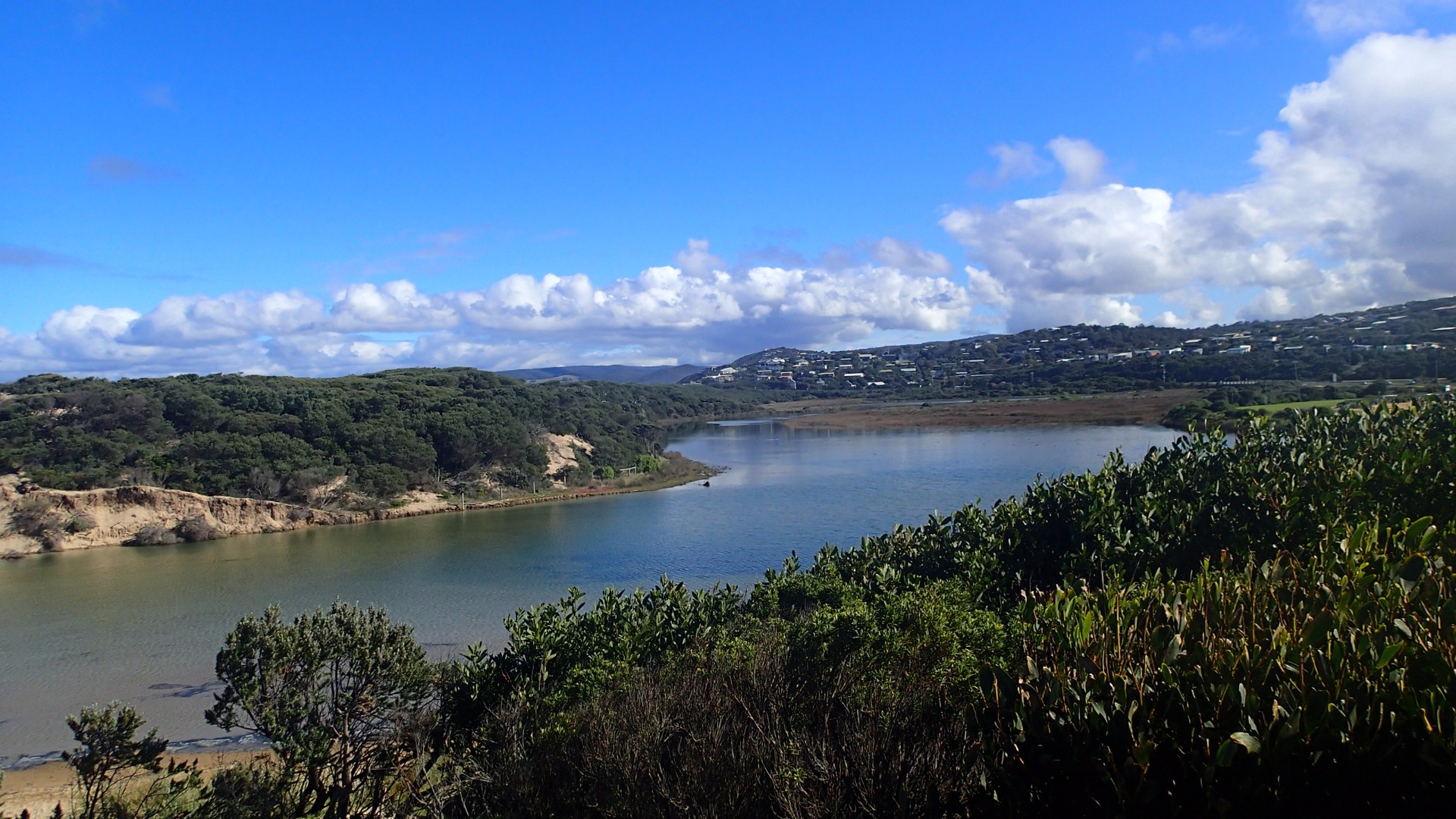
| Estuary | Painkalac Creek Estuary |
|---|---|
| Site | Painkalac Creek Observation Site |
| Observation ID | #11167 |
| Date and Time | Saturday 13th May 2017 11:45am |
| Approved | Approved |
Notes
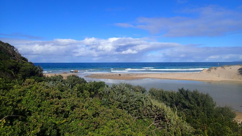
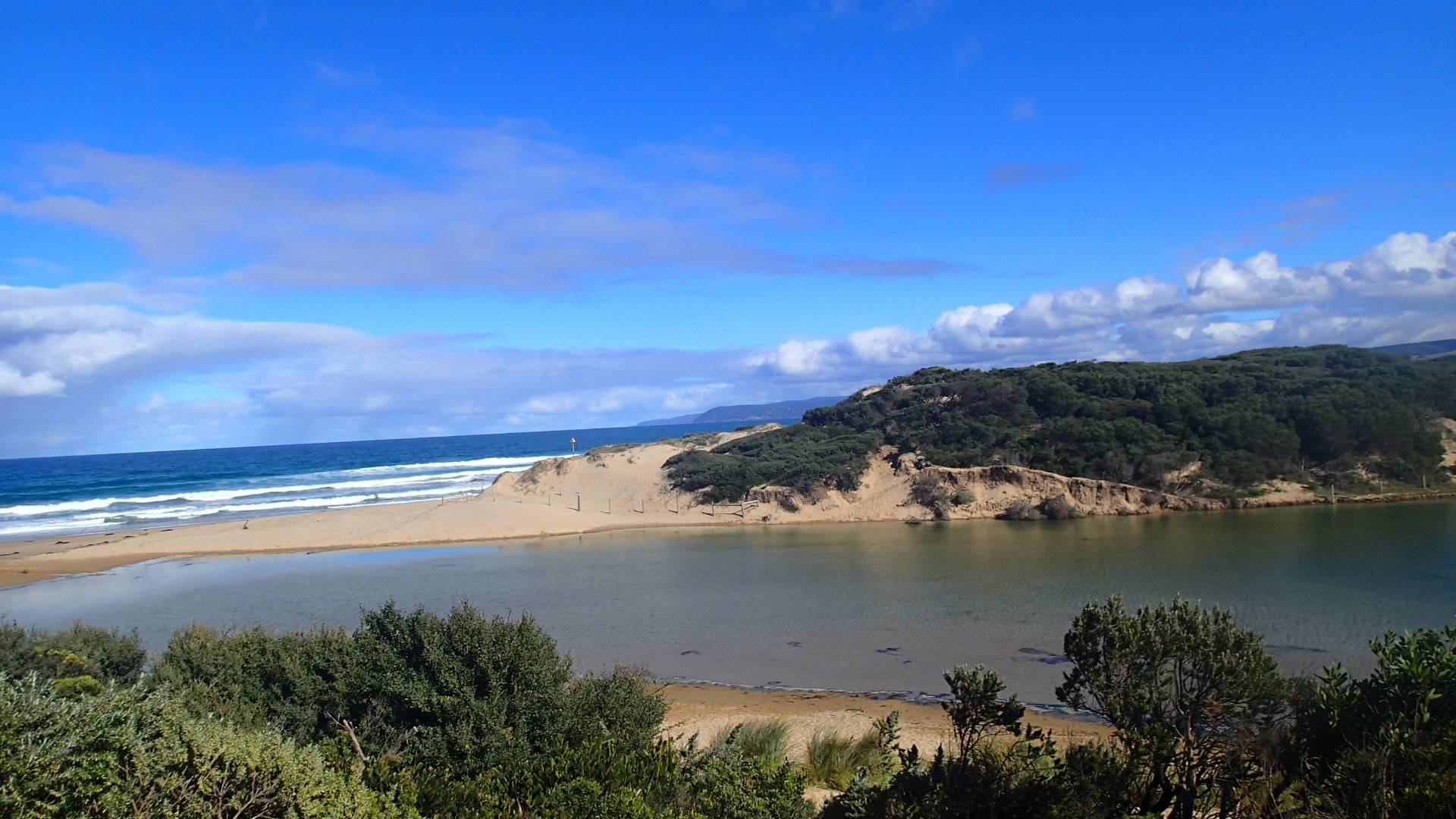
No berm measurement taken. Mouth appeared open, with water flowing out to sea over the sand. No channel to speak of, and some over-topping inwards with bigger waves.
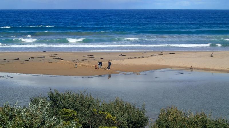
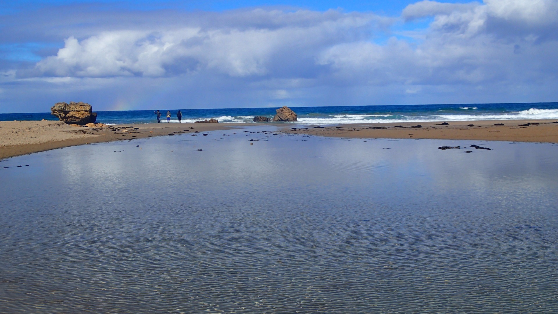
Have included a photo of some beach goers attempting to dig a channel out to sea. They appeared to give up on the task after awhile.
Mouth Observation
| Mouth state | Open |
|---|---|
| Previous | C C C C C O C O P O C C C C C C C |
| Flow Present? | Yes |
| Previous | N N N N N Y N Y N Y N N N N N N N |
| Flow Direction | Out |
| Previous | N N N N N O N O N O N N N N N N N |
| Above Sea | Above Estuary | |
|---|---|---|
| Berm Height (m) | ||
| Berm Length (m) |
Physical Condition
| Current | Mode | |
|---|---|---|
| Wind Direction | South-West | |
| Beaufort Scale | Gentle breeze | |
| Sea State | Slight |


All content, files, data and images provided by the EstuaryWatch Data Portal and Gallery are subject to a Creative Commons Attribution License
Content is made available to be used in any way, and should always attribute EstuaryWatch and www.estuarywatch.org.au