EstuaryWatch Data Portal
GMC Gellibrand River Estuary Mouth Observation Site
20 May 2017
Observation details
Overview
| Estuary | Gellibrand River Estuary |
|---|---|
| Site | Gellibrand River Estuary Mouth Observation Site |
| Observation ID | #11184 |
| Date and Time | Saturday 20th May 2017 11:10am |
| Approved | Approved |
Notes
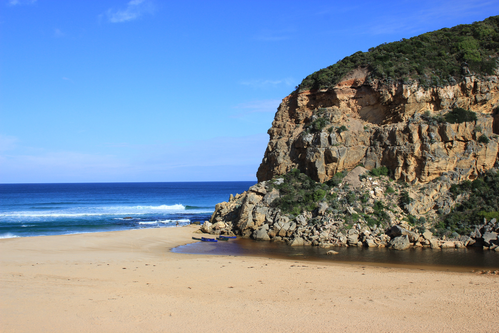
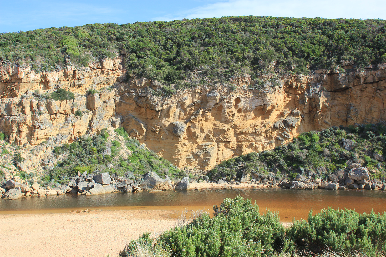
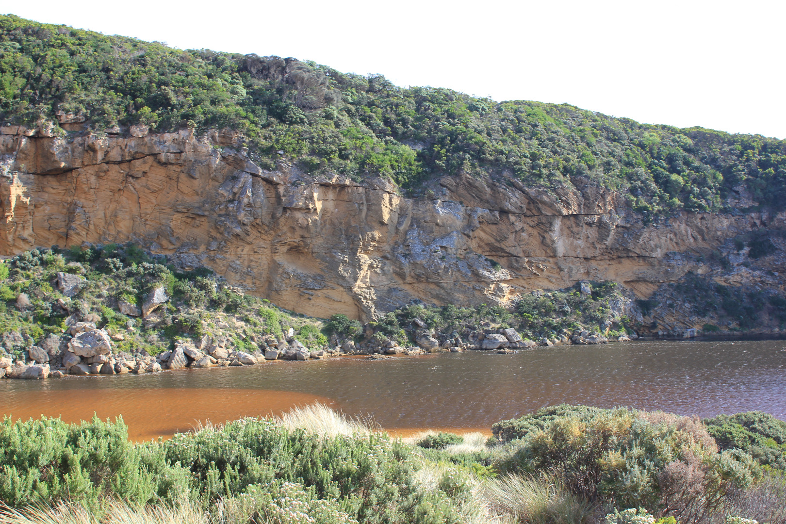
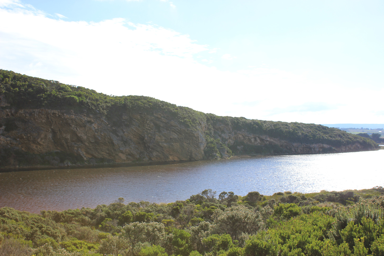
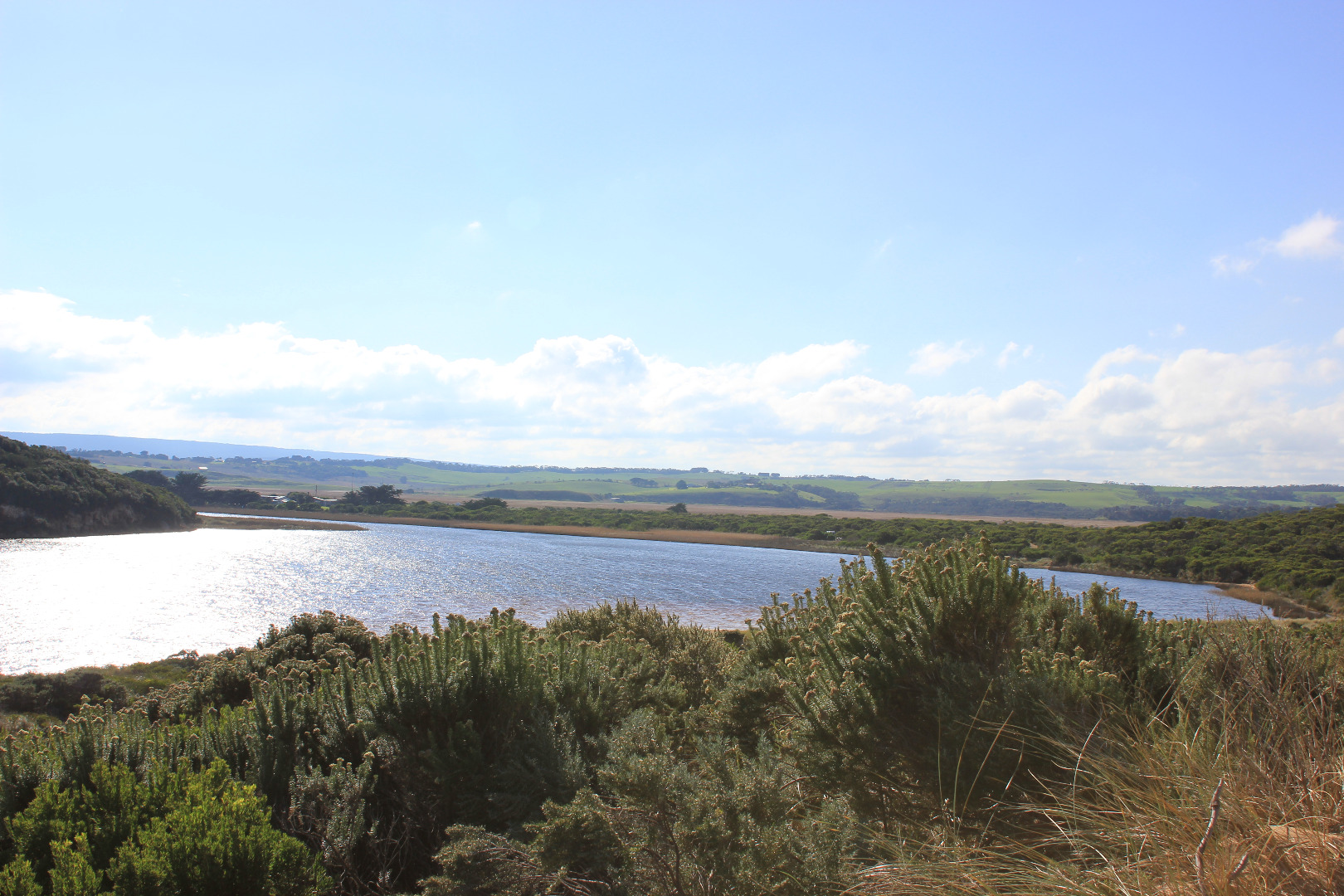
Mouth barred but swash line & sand indicate over topping at last hi tide. Front of estuary only about 32m from ocean. Water level high in estuary with some flooding upstream. No water over top track or any roads
Beach horseshoe shaped with deep N/S ridges from backwash, waves entering further in these areas. Part of 'sand cliffs' remain
Erosion continues along face of Pt Ronald where sand extends further out to sea than with previous closures
Mouth Observation
| Mouth state | Closed |
|---|---|
| Previous | O O O O O O O O O O O O O O O O O O O O O O O O O O O O O O O P O P C C O O O O O O O C O C C C O O O O O |
| Flow Present? | No |
| Previous | Y Y Y Y Y Y Y Y Y Y Y Y Y Y Y Y Y Y Y Y Y Y Y Y Y Y Y Y Y Y Y Y Y Y N N Y Y Y N Y Y Y N N N N N Y Y Y Y Y |
| Flow Direction | N/A |
| Previous | I I O O O O I O O O I O O O O O O O O O O O O O O O I I O O O I O I N N O O I N O O O N N N N N O O O O O |
| Above Sea | Above Estuary | |
|---|---|---|
| Berm Height (m) | 0.1m | 0.7m |
| Berm Length (m) | 0.0m |
Physical Condition
| Current | Mode | |
|---|---|---|
| Wind Direction | North | |
| Beaufort Scale | Moderate breeze | |
| Sea State | Moderate |


All content, files, data and images provided by the EstuaryWatch Data Portal and Gallery are subject to a Creative Commons Attribution License
Content is made available to be used in any way, and should always attribute EstuaryWatch and www.estuarywatch.org.au