EstuaryWatch Data Portal
Observation details
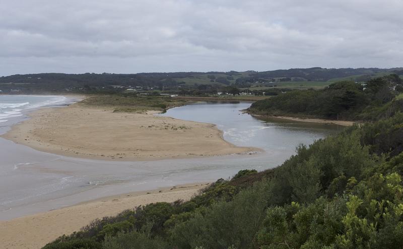
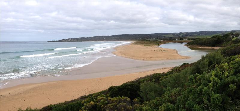
Overview
| Estuary | Barham River Estuary |
|---|---|
| Site | Barham River Observation Site |
| Observation ID | #11213 |
| Date and Time | Friday 26th May 2017 11:40am |
| Approved | Approved |
Notes
Rainfall past 48 hrs = 2.6 mm; Atmos. press - 1022.2 hPa.
High tide 11:45
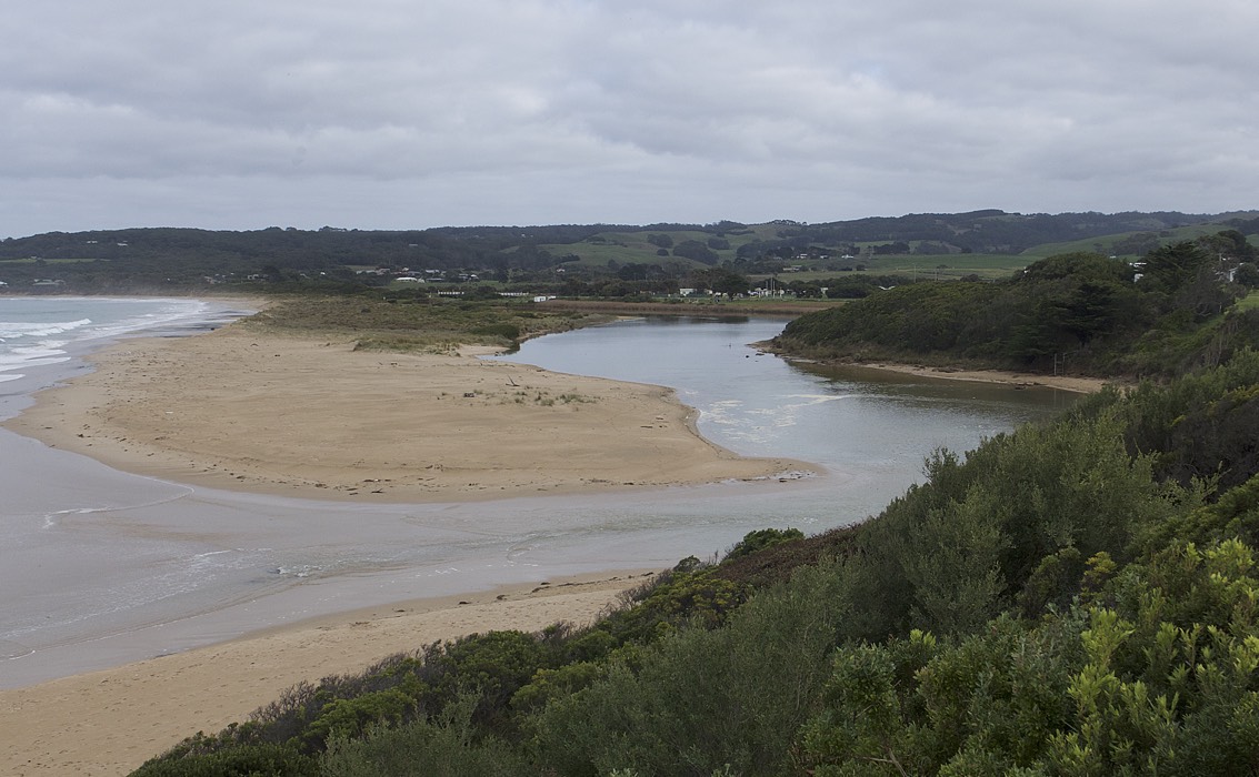
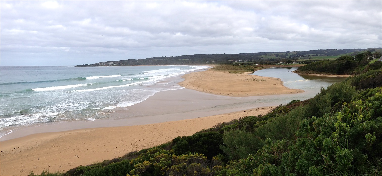
Very still atmosphere. A stretch of mechanically-dumped sand was observed, placed to consolidate the beach of Mounts Bay in the vicinity of Marengo.
The condition of the car park at the bridge opposite the campground is in poor condition. Added to previous debris-dumps from the campground, there now exists a large mulch pile to further restrict parking and public access.
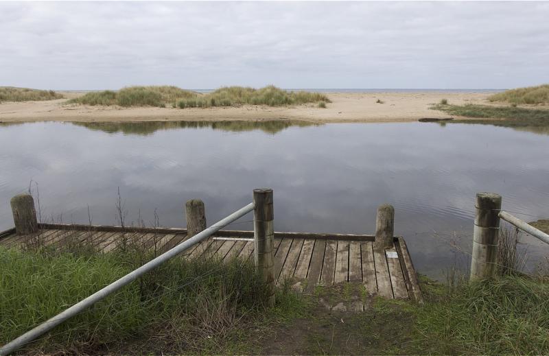
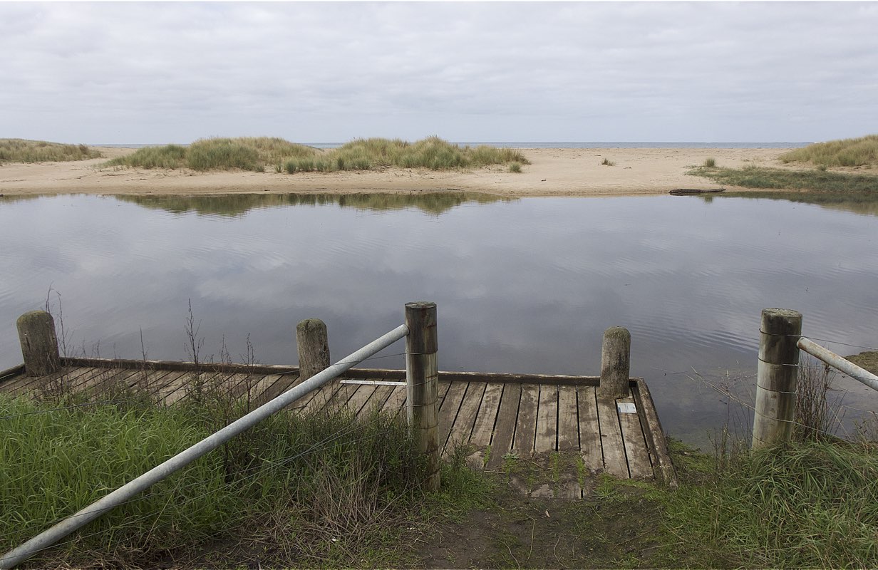
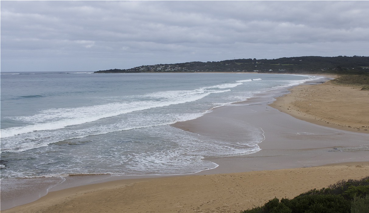
Mouth Observation
| Mouth state | Open |
|---|---|
| Previous | O O O O O O O O O O O |
| Flow Present? | Yes |
| Previous | Y Y Y Y Y Y Y Y N Y Y |
| Flow Direction | In |
| Previous | I I O I O O O O N I O |
| Above Sea | Above Estuary | |
|---|---|---|
| Berm Height (m) | ||
| Berm Length (m) |
Physical Condition
| Current | Mode | |
|---|---|---|
| Wind Direction | North | |
| Beaufort Scale | Calm | Gentle breeze |
| Sea State | Slight |


All content, files, data and images provided by the EstuaryWatch Data Portal and Gallery are subject to a Creative Commons Attribution License
Content is made available to be used in any way, and should always attribute EstuaryWatch and www.estuarywatch.org.au