EstuaryWatch Data Portal
GMC Gellibrand River Estuary Mouth Observation Site
1 June 2017
Overview
| Estuary | Gellibrand River Estuary |
|---|---|
| Site | Gellibrand River Estuary Mouth Observation Site |
| Observation ID | #11249 |
| Date and Time | Thursday 1st June 2017 09:29am |
| Approved | Approved |
Notes
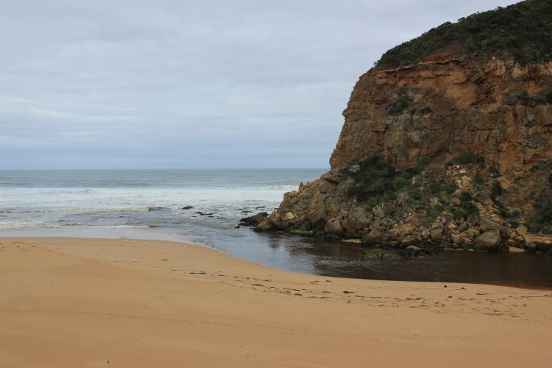
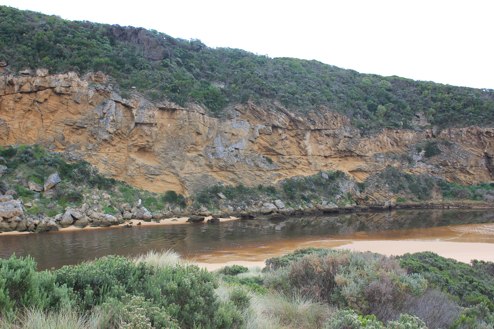
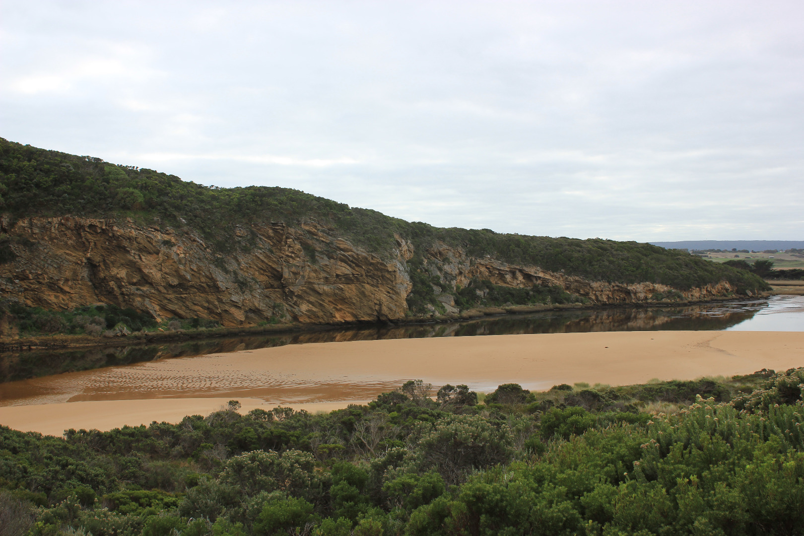
Reducing outflow with some very small waves occasionally entering. Outflow meeting SW swell but being crossed over by longshore drift. Impact causing 'pulsing' at G2,Lt1 & upstream. Outflow travelling along beach front (about 50m wide) then turning out to sea near east end of beach. A large amount of sand seen in breakers.
Ocean beach is curved, front has been levelled out into gradual rise. Waves have been high up at last hi tide.
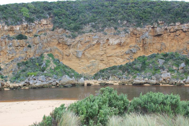
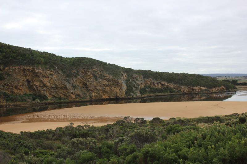
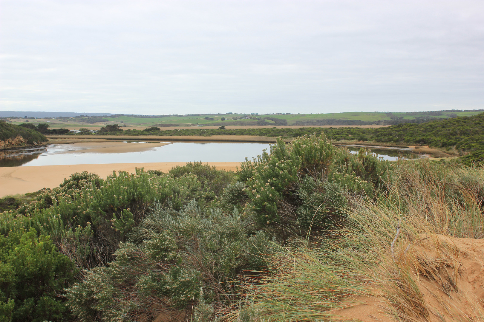
Water level in estuary & channel is very low & extremely large areas of sand have been left uncovered projecting north into estuary. Sand has been scoured out at entrance uncovering base of rocks & remains of original pile from early breakwater
Mouth Observation
| Mouth state | Open |
|---|---|
| Previous | O O O O O O O O O O O O O O O O O O O O O O O O O O O O O P O P C C O O O O O O O C O C C C O O O O O C O |
| Flow Present? | Yes |
| Previous | Y Y Y Y Y Y Y Y Y Y Y Y Y Y Y Y Y Y Y Y Y Y Y Y Y Y Y Y Y Y Y Y N N Y Y Y N Y Y Y N N N N N Y Y Y Y Y N Y |
| Flow Direction | Out |
| Previous | O O O O I O O O I O O O O O O O O O O O O O O O I I O O O I O I N N O O I N O O O N N N N N O O O O O N O |
| Above Sea | Above Estuary | |
|---|---|---|
| Berm Height (m) | ||
| Berm Length (m) |
Physical Condition
| Current | Mode | |
|---|---|---|
| Wind Direction | ||
| Beaufort Scale | Calm | |
| Sea State | Rough |


All content, files, data and images provided by the EstuaryWatch Data Portal and Gallery are subject to a Creative Commons Attribution License
Content is made available to be used in any way, and should always attribute EstuaryWatch and www.estuarywatch.org.au