EstuaryWatch Data Portal
GMC Gellibrand River Estuary Mouth Observation Site
7 September 2017
Observation details
Overview
| Estuary | Gellibrand River Estuary |
|---|---|
| Site | Gellibrand River Estuary Mouth Observation Site |
| Observation ID | #11440 |
| Date and Time | Thursday 7th September 2017 10:33am |
| Approved | Approved |
Notes
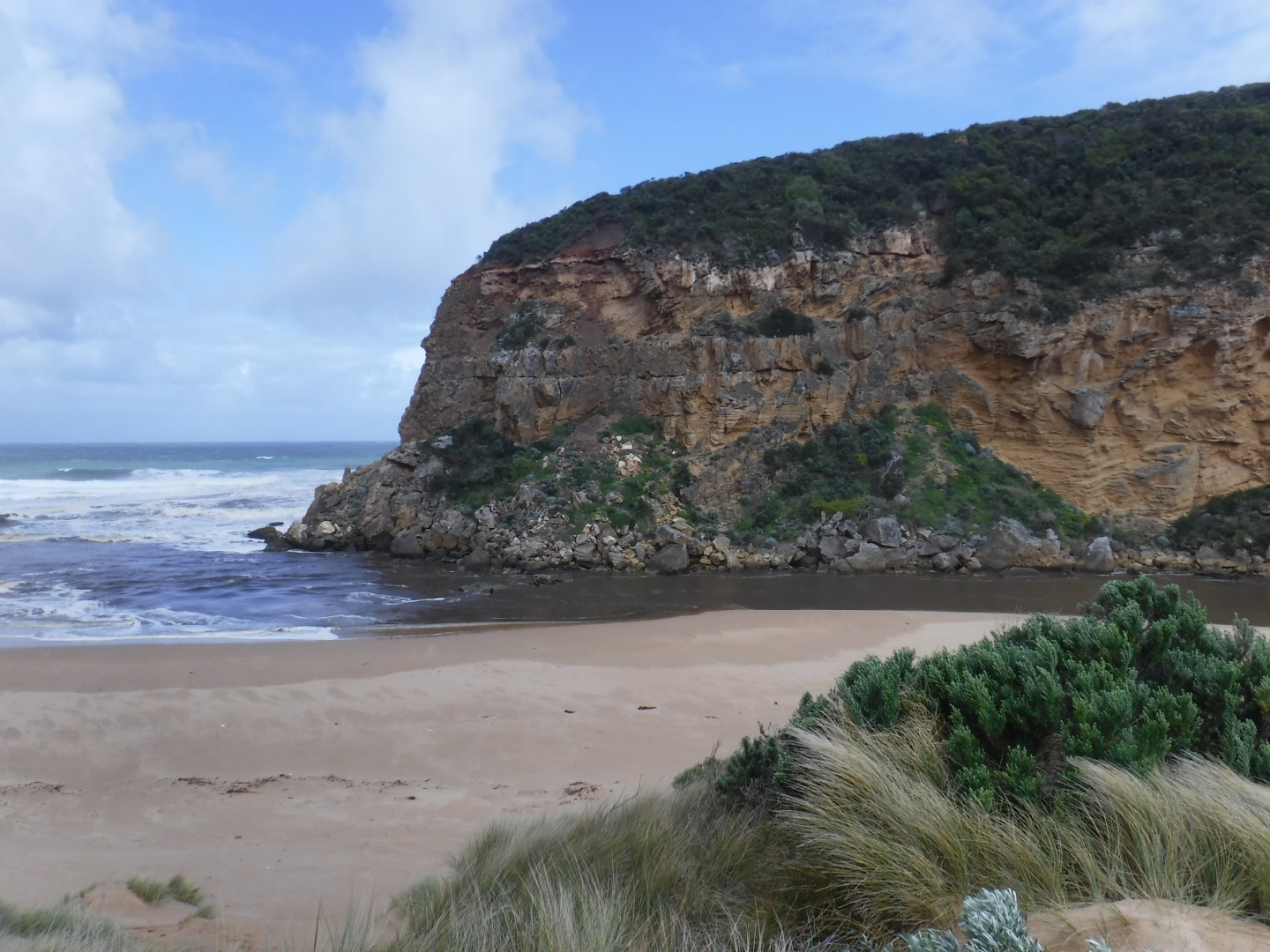
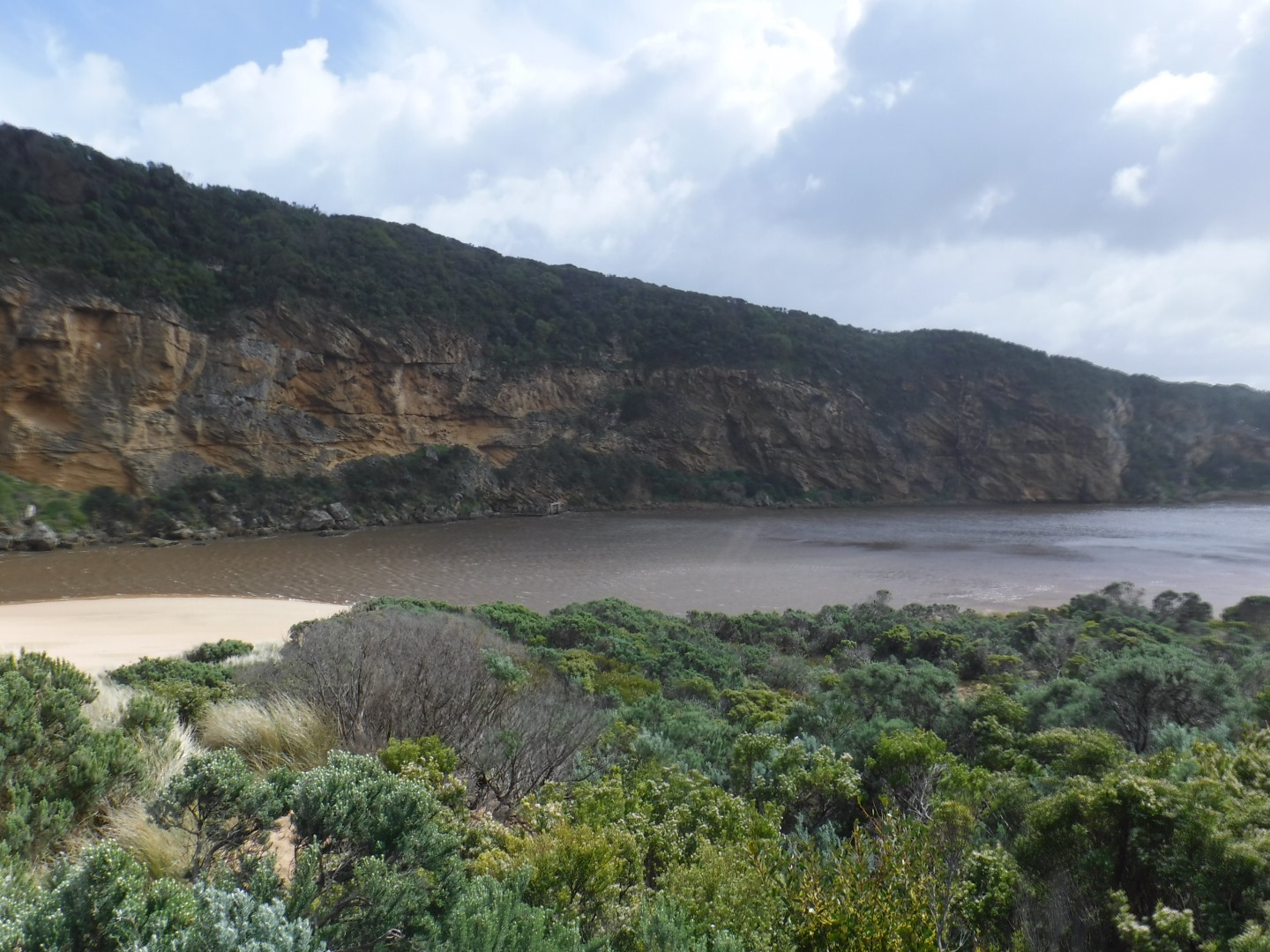
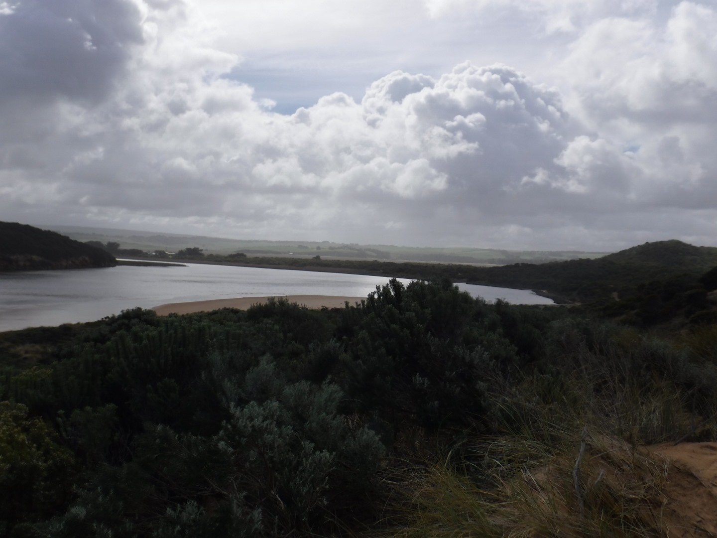
Strong, dark and dirty discharge out, turning east
SW swell crossing over outflow (also long shore drift) - waves in all directions
Large amount of sand visible in breakers out to sea
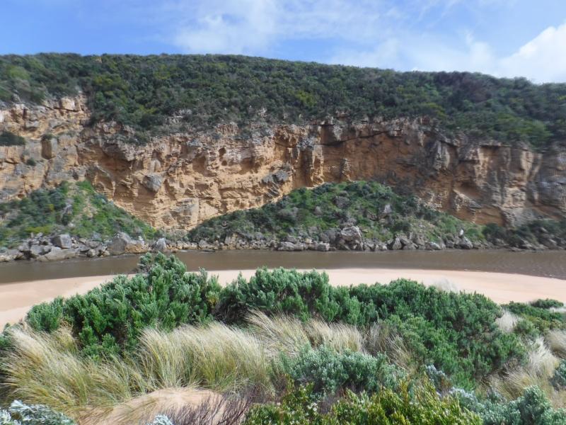
sand E side of channel 1.30m sheer side from erosion caused by recent high seas
More rock down south & south east sides of Point Ronald
extensive erosion/debris low track
Mouth Observation
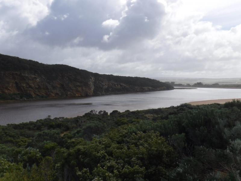
| Mouth state | Open |
|---|---|
| Previous | O O O O O O O O O O O O O O O O O O O O P O P C C O O O O O O O C O C C C O O O O O C O O O O O O O O O O O O O |
| Flow Present? | Yes |
| Previous | Y Y Y Y Y Y Y Y Y Y Y Y Y Y Y Y Y Y Y Y Y Y Y N N Y Y Y N Y Y Y N N N N N Y Y Y Y Y N Y Y Y N Y Y Y Y Y Y Y Y Y |
| Flow Direction | Out |
| Previous | O O O O O O O O O O O O O O O I I O O O I O I N N O O I N O O O N N N N N O O O O O N O O O N O O O O O O O O O |
| Above Sea | Above Estuary | |
|---|---|---|
| Berm Height (m) | ||
| Berm Length (m) |
Physical Condition
| Current | Mode | |
|---|---|---|
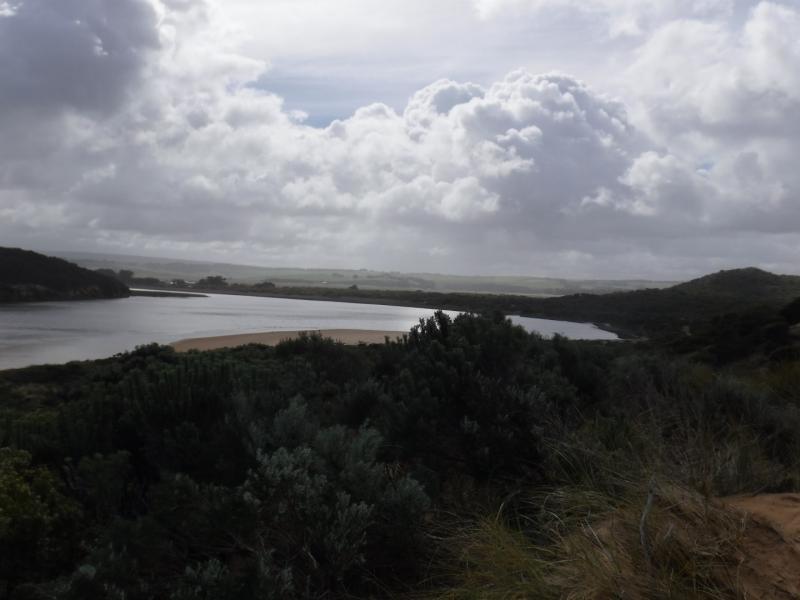
| Wind Direction | North | |
| Beaufort Scale | Strong breeze | |
| Sea State | Very Rough |


All content, files, data and images provided by the EstuaryWatch Data Portal and Gallery are subject to a Creative Commons Attribution License
Content is made available to be used in any way, and should always attribute EstuaryWatch and www.estuarywatch.org.au