EstuaryWatch Data Portal
Observation details
Overview
| Estuary | Barham River Estuary |
|---|---|
| Site | Barham River Observation Site |
| Observation ID | #11553 |
| Date and Time | Friday 27th October 2017 15:01pm |
| Approved | Approved |
Notes
Rain past 48 hrs = 0; Atm. press. = 1008.9 hPa.
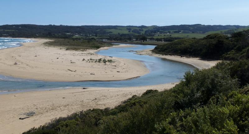
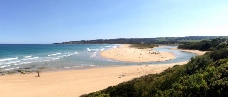
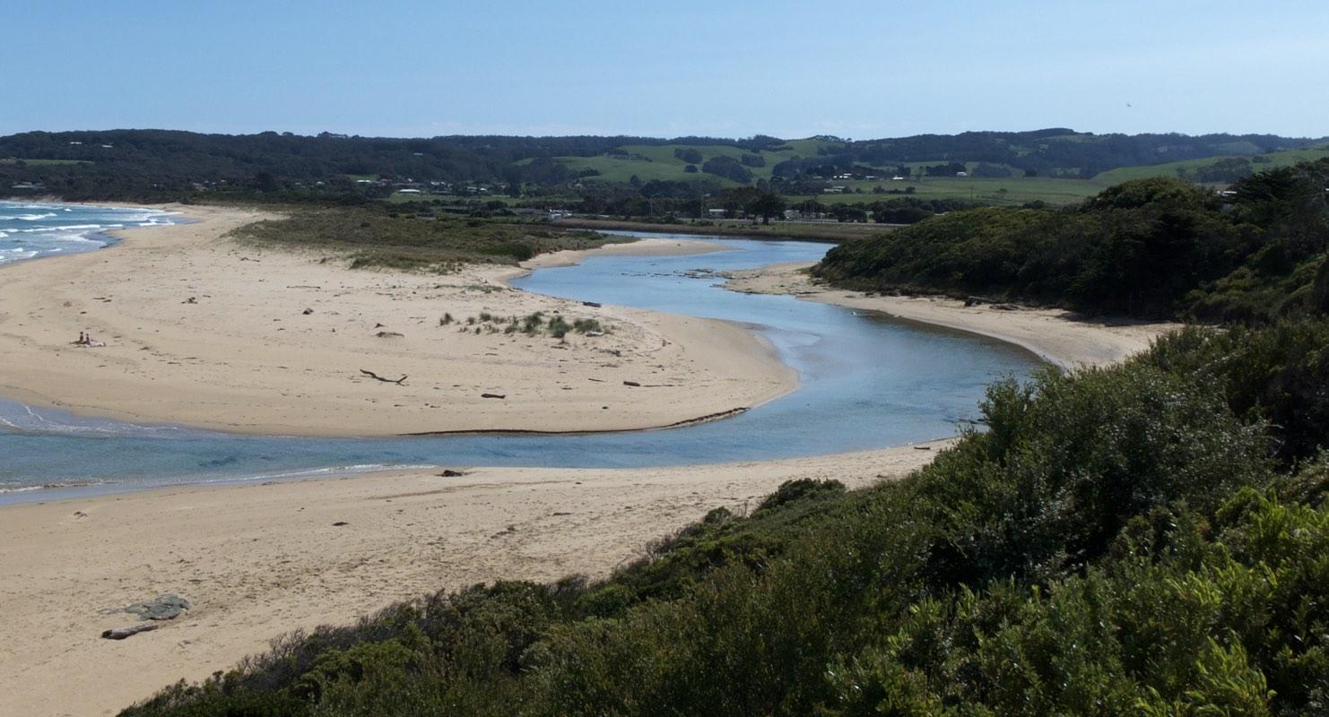
Water level not readable on gauge due to mud bank deposits. Judged to be < 0.5 m. At finish of observations the level was still below 0.5 m, but was estimated to have risen by 1-2 cm.
Observed wetting of sandbanks near the photopoint, presumed to be due to the previous high tide, supports the existence of tidal influence.
Access to monitoring point BmP2 is considerably impeded by untended vegetation growth and by stockpiles for ongoing road construction. New season's growth also hinders access along the foot track leading to BmP3.
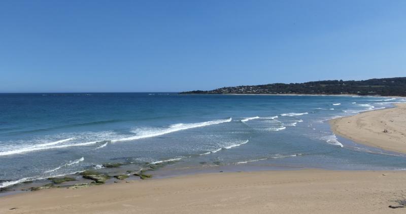
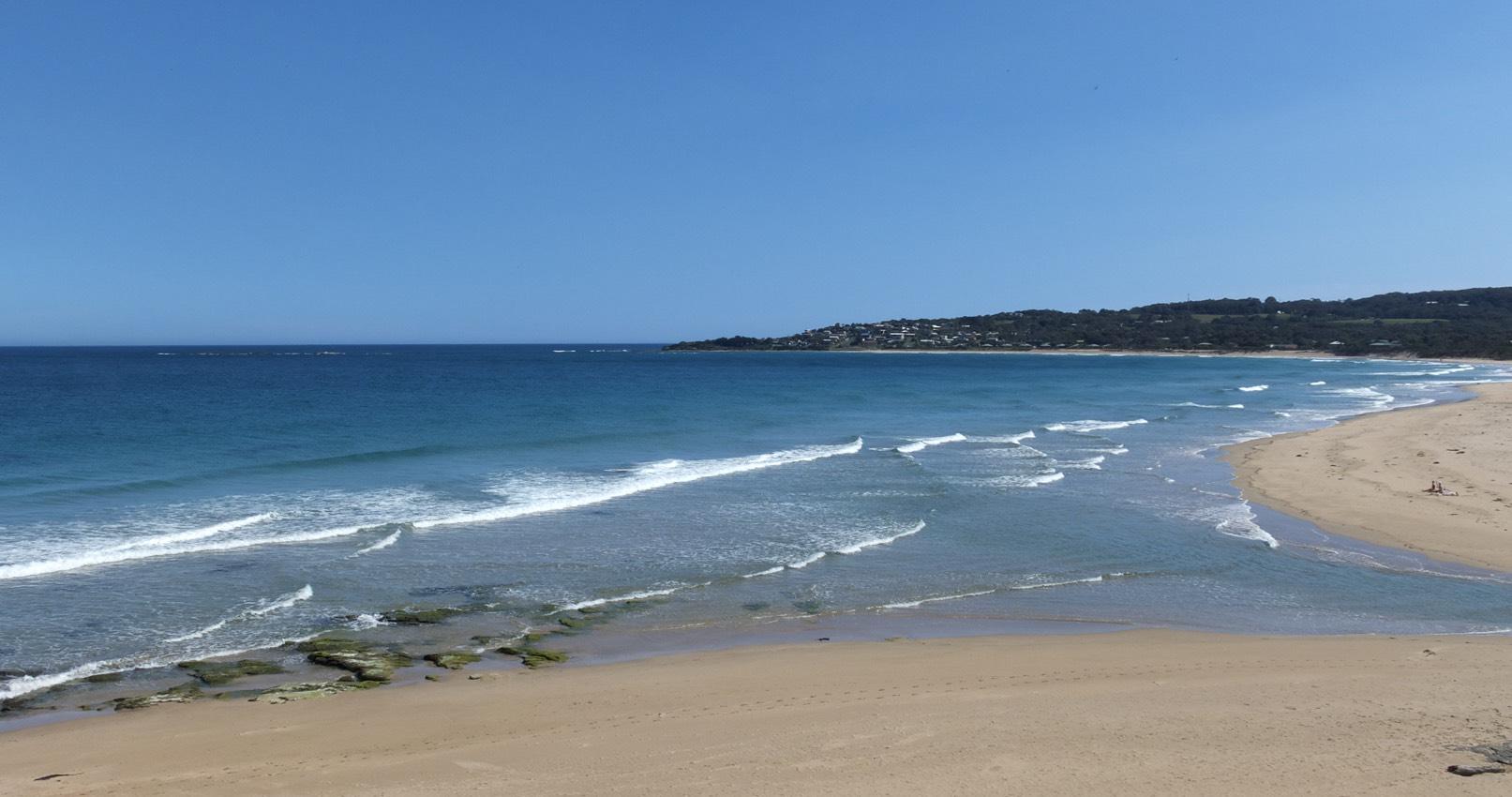
Mouth Observation
| Mouth state | Open |
|---|---|
| Previous | O O O O O O O O O O O |
| Flow Present? | Yes |
| Previous | Y Y Y N Y Y Y Y Y Y Y |
| Flow Direction | In |
| Previous | O O O N I O I O I O O |
| Above Sea | Above Estuary | |
|---|---|---|
| Berm Height (m) | ||
| Berm Length (m) |
Physical Condition
| Current | Mode | |
|---|---|---|
| Wind Direction | North-West | North-West |
| Beaufort Scale | Gentle breeze | Gentle breeze |
| Sea State | Moderate |


All content, files, data and images provided by the EstuaryWatch Data Portal and Gallery are subject to a Creative Commons Attribution License
Content is made available to be used in any way, and should always attribute EstuaryWatch and www.estuarywatch.org.au