EstuaryWatch Data Portal
Overview
| Estuary | Wye River Estuary |
|---|---|
| Site | Wye River Mouth Condition |
| Observation ID | #14225 |
| Date and Time | Sunday 1st August 2021 10:00am |
| Approved | Approved |
Notes
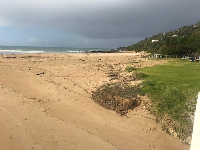
It was a very calm and still day, hence no wind direction recorded.
The bottom of the river gauge is rather dirty and difficult to read. Assessment of the water level was made as accurately as possible.
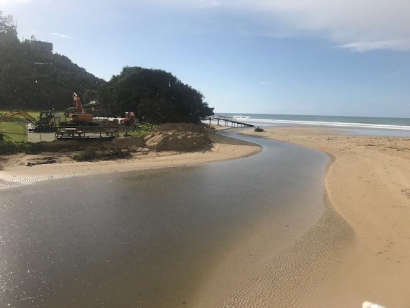
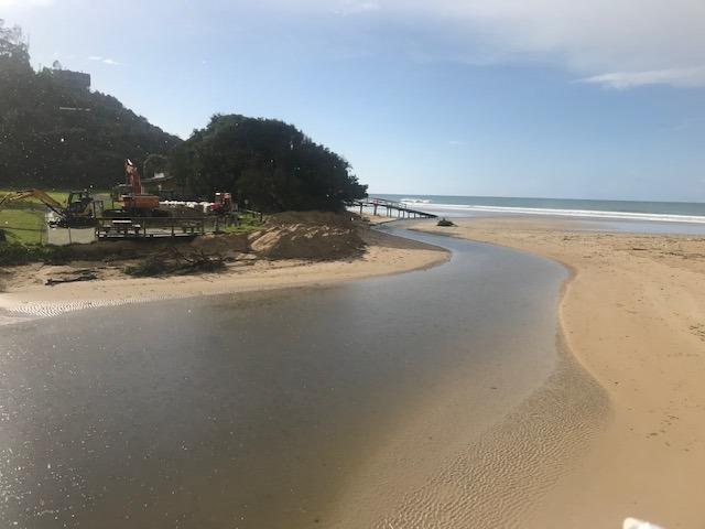
Photos show the piles of sand moved by machinery to the front of the dune area where the erosion has occurred over the past months. Sand has been moved by an excavator from the beach south of the estuary into piles around the base of the dunes. These piles of sand extend around to the dunes in front of the surf club.
Work is underway to place sandbags around the base of the dunes to hinder further erosion which has the potential to impact the surf club building.
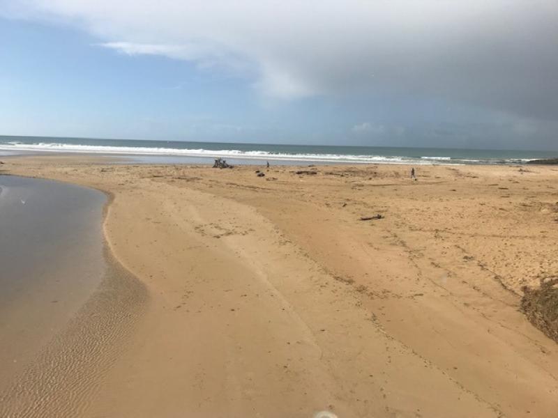
Mouth Observation
| Mouth state | Open |
|---|---|
| Previous | O O O O O O O O O O O O O O O O O O O O O O O O |
| Flow Present? | Yes |
| Previous | Y Y Y Y Y Y Y Y Y Y Y Y Y Y Y Y Y Y Y Y Y Y Y Y |
| Flow Direction | Out |
| Previous | O O O O O O O O O O O O O O O O O O O O O O O O |
| Above Sea | Above Estuary | |
|---|---|---|
| Berm Height (m) | ||
| Berm Length (m) |
Physical Condition
| Current | Mode | |
|---|---|---|
| Wind Direction | ||
| Beaufort Scale | Calm | |
| Sea State | Smooth |


All content, files, data and images provided by the EstuaryWatch Data Portal and Gallery are subject to a Creative Commons Attribution License
Content is made available to be used in any way, and should always attribute EstuaryWatch and www.estuarywatch.org.au