EstuaryWatch Data Portal
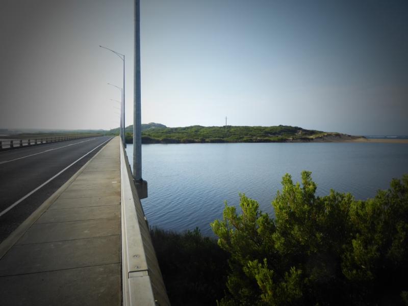
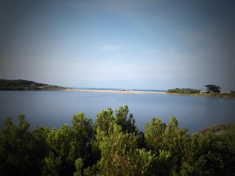
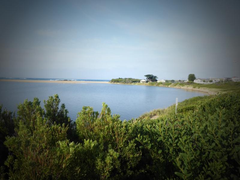
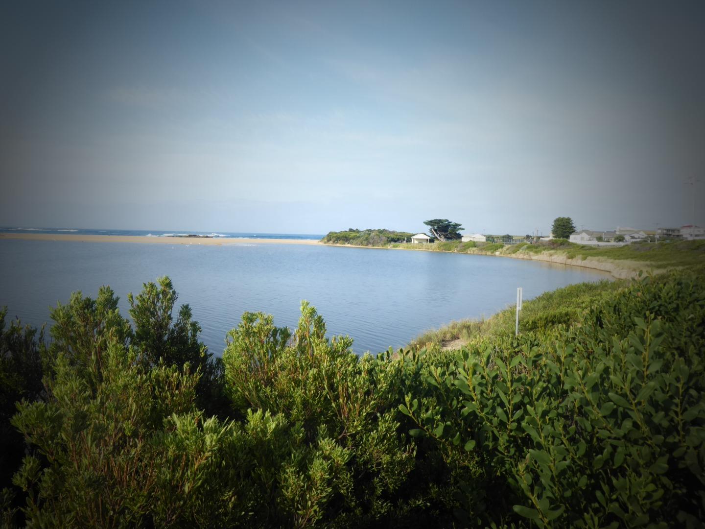
Cu2 Boggy Creek Road fishing jetty
4 April 2023
Observation details
Overview
| Estuary | Curdies River Estuary |
|---|---|
| Site | Boggy Creek Road fishing jetty |
| Observation ID | #15386 |
| Date and Time | Tuesday 4th April 2023 10:45am |
| Approved | Approved |
Depth Profiling
| Depth m | Temperature °C | Salinity ppt | D.O. mg/L | D.O. % sat | EC mS/cm | Notes | |
|---|---|---|---|---|---|---|---|
| 0.1m | 17.40 | 5.60 | 62.5 | 6.33 | No sign of blue Greeg Algae | ||
| Previous | 20.7 | 6.3 | 71.5 | 31.4 | |||
| Median | 16.4 | 7.83 | 76.80 | 8.9 | |||
| 0.5m | 18.10 | 6.08 | 64.0 | 13.62 | |||
| Previous | 20.2 | 6.9 | 76.8 | 2.5 | |||
| Median | 16.2 | 7.83 | 76.80 | 7.0 | |||
| 1.0m | 18.20 | 6.08 | 72.9 | 21.61 | |||
| Previous | 19.9 | 6.6 | 73.6 | 31.5 | |||
| Median | 16.8 | 6.63 | 73.00 | 9.2 | |||
| 1.5m | 18.60 | 6.02 | 65.6 | 26.90 | |||
| Previous | 20.2 | 1.7 | 19.2 | 32.7 | |||
| Median | 16.1 | 6.54 | 62.10 | 9.0 | |||
| 2.0m | 18.80 | 3.86 | 78.0 | 29.90 | |||
| Previous | |||||||
| Median |


All content, files, data and images provided by the EstuaryWatch Data Portal and Gallery are subject to a Creative Commons Attribution License
Content is made available to be used in any way, and should always attribute EstuaryWatch and www.estuarywatch.org.au