EstuaryWatch Data Portal
GMC Gellibrand River Estuary Mouth Observation Site
5 September 2009
Observation details
Overview
| Estuary | Gellibrand River Estuary |
|---|---|
| Site | Gellibrand River Estuary Mouth Observation Site |
| Observation ID | #2461 |
| Date and Time | Saturday 5th September 2009 10:20am |
| Approved | Approved |
Notes
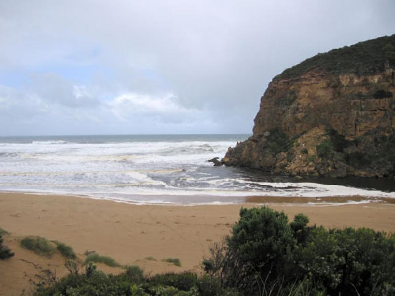
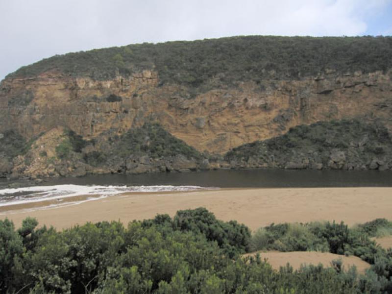
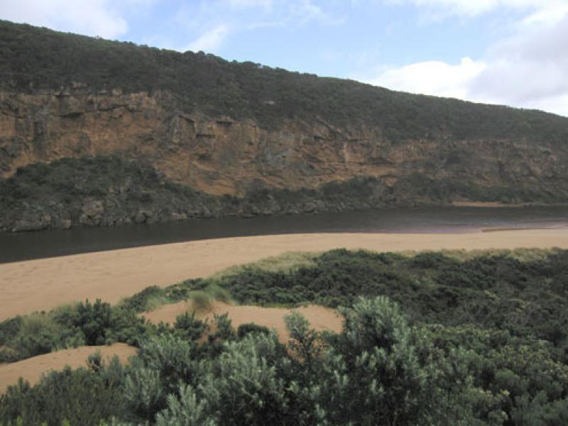
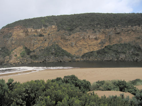
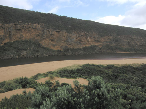
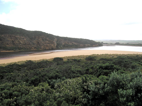
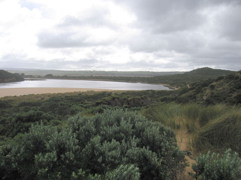
1.Strong very dark brown flow out. Occasional small wave enterind down east side of channel into estuary
2.Dark discharge around mouth and along beach to east, some to south (about 100m. out) and s/w.
3.Beach gradually sloping back to ocean. Longshore drift bringing sand back into channel
4.Large area of foam moving back & forth upstream of rocks.
5.Sand cliff 1.m along east side of channel near tunnel
6.Waves & foam s side of estuary
7.Fox prints & scrapes. 7 comorants, 2 black duck
8.Estuary is flooded upstream from G4.Water flowing between bearer and deck.(G4.) AHD.G6-3.43
Mouth Observation
| Mouth state | Open |
|---|---|
| Previous | O O O O O C O O O C C C C O O O O O O O O C C C C C C C C C O C O O O O O O P O O O O P P P C P P O O O O P P O O O O O O C O O O O O O O O O O O O O O O |
| Flow Present? | Yes |
| Previous | Y Y Y Y Y N Y Y Y N N Y Y Y Y Y Y Y Y Y N N N N N N N N Y N Y Y Y Y Y Y Y Y Y Y Y Y Y Y N Y Y Y Y Y Y Y Y Y Y Y Y Y Y Y Y Y Y Y Y Y Y Y Y Y Y Y Y Y Y |
| Flow Direction | Out |
| Previous | O I O O O N O O O N N I O O O O O O O I N N N N N N N N O N O O O O O O I O O O O O I N I I O O O I I O O O O I I O I O O O O O O O O O O O O O O |
| Above Sea | Above Estuary | |
|---|---|---|
| Berm Height (m) | ||
| Berm Length (m) |
Physical Condition
| Current | Mode | |
|---|---|---|
| Wind Direction | North-West | West |
| Beaufort Scale | High wind, moderate gale, near gale | Strong breeze |
| Sea State | Rough | Rough |


All content, files, data and images provided by the EstuaryWatch Data Portal and Gallery are subject to a Creative Commons Attribution License
Content is made available to be used in any way, and should always attribute EstuaryWatch and www.estuarywatch.org.au