EstuaryWatch Data Portal
GMC Gellibrand River Estuary Mouth Observation Site
12 September 2009
Observation details
Overview
| Estuary | Gellibrand River Estuary |
|---|---|
| Site | Gellibrand River Estuary Mouth Observation Site |
| Observation ID | #2485 |
| Date and Time | Saturday 12th September 2009 10:00am |
| Approved | Approved |
Notes
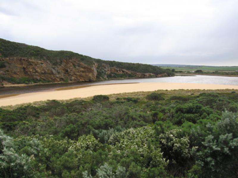
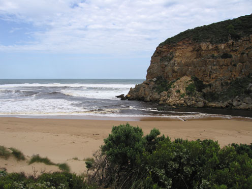
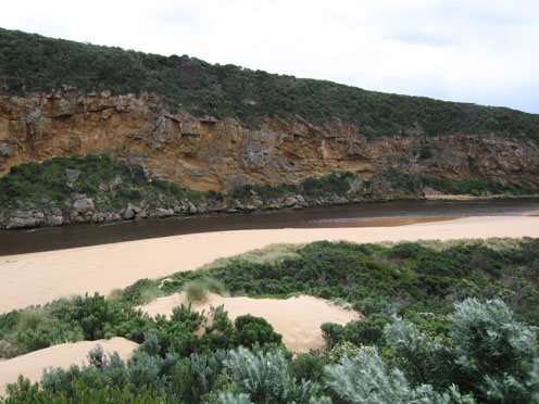
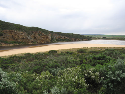
1. Strong dark out flow - east along the beach and also s. & s/w. Dark water out to aprox. 40m., difficult to estimate because of foam. Waves in all directions around mouth.
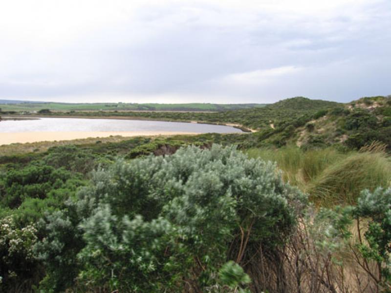
2. Sand seems to be building up slightly upstream and left of rocks.Circular current in that area, also longshore drift. Waves covering most of beach- lots of rubbish incl. plastic
3.Occasional small wave e.side of channel into estuary
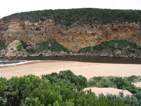
4. Sand projection into estuary extends past 'small rock'.
5.Very strong n. wind driving waves (15 to 30cm.) onto sand at s. side of estuary, foam trails from n. to s.. Sand 'cliffs' opp. tunnel larger.
6.1 Grebe - s.e estuary
Mouth Observation
| Mouth state | Open |
|---|---|
| Previous | O O O O C O O O C C C C O O O O O O O O C C C C C C C C C O C O O O O O O P O O O O P P P C P P O O O O P P O O O O O O C O O O O O O O O O O O O O O O O |
| Flow Present? | Yes |
| Previous | Y Y Y Y N Y Y Y N N Y Y Y Y Y Y Y Y Y N N N N N N N N Y N Y Y Y Y Y Y Y Y Y Y Y Y Y Y N Y Y Y Y Y Y Y Y Y Y Y Y Y Y Y Y Y Y Y Y Y Y Y Y Y Y Y Y Y Y Y |
| Flow Direction | Out |
| Previous | I O O O N O O O N N I O O O O O O O I N N N N N N N N O N O O O O O O I O O O O O I N I I O O O I I O O O O I I O I O O O O O O O O O O O O O O O |
| Above Sea | Above Estuary | |
|---|---|---|
| Berm Height (m) | ||
| Berm Length (m) |
Physical Condition
| Current | Mode | |
|---|---|---|
| Wind Direction | North | North-West |
| Beaufort Scale | High wind, moderate gale, near gale | Fresh breeze |
| Sea State | Rough | Moderate |


All content, files, data and images provided by the EstuaryWatch Data Portal and Gallery are subject to a Creative Commons Attribution License
Content is made available to be used in any way, and should always attribute EstuaryWatch and www.estuarywatch.org.au