EstuaryWatch Data Portal
GMC Gellibrand River Estuary Mouth Observation Site
10 October 2009
Observation details
Overview
| Estuary | Gellibrand River Estuary |
|---|---|
| Site | Gellibrand River Estuary Mouth Observation Site |
| Observation ID | #2624 |
| Date and Time | Saturday 10th October 2009 08:50am |
| Approved | Approved |
Notes
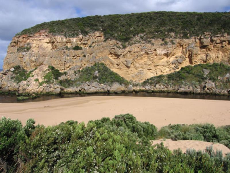
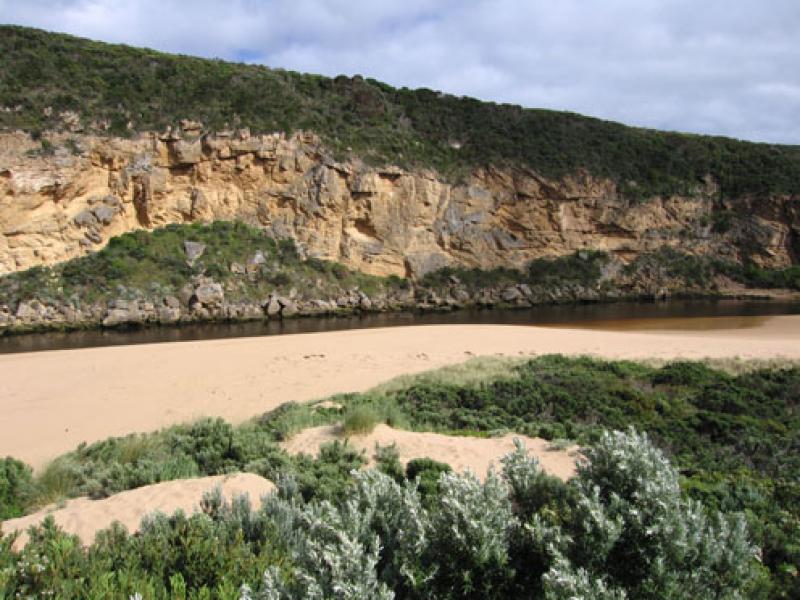
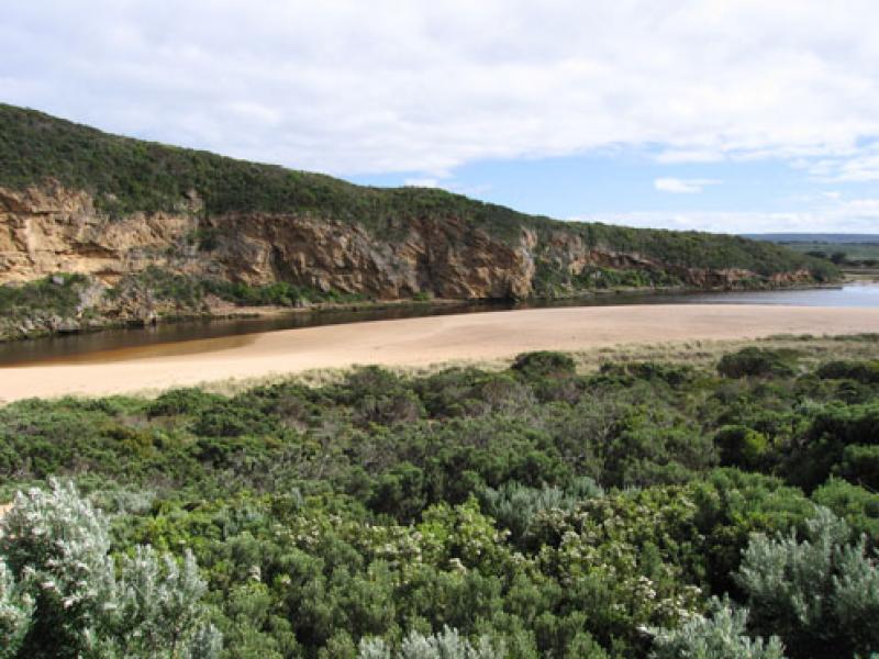
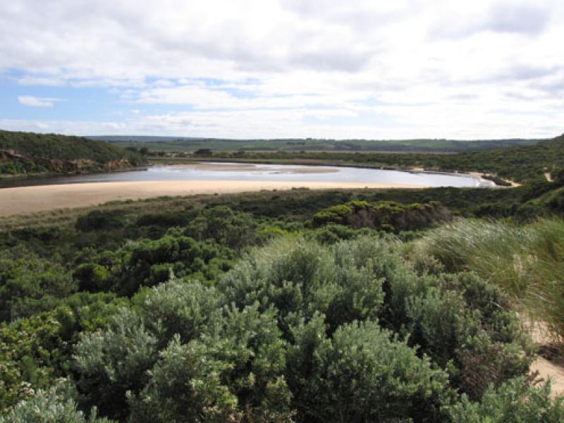
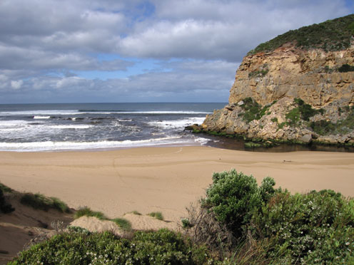
1.Strong out flow - dark discharge around mouth & to west, dark water not visiable to east or south
2.Beach 'horseshoe' shape with increased sand projection out to sea at east end
3.Waves have been nearly to foot of dunes -mid beach. Sand build up east side of mouth, increasing with longshore drift
4.Channel about 4-5m at entrance, rocks more exposed but sand building up directly infront (downstream). Water curving around rocks (3-4 m. wide) and through narrow channel near cliff.
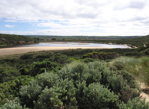
5. Very low water level, gate on tunnel well out of the water and sand bars in estuary well exposed
6.AHD board numbers obscured by flood deposit- difficult to read.
7.D.S.T not added
Mouth Observation
| Mouth state | Open |
|---|---|
| Previous | O O C O O O C C C C O O O O O O O O C C C C C C C C C O C O O O O O O P O O O O P P P C P P O O O O P P O O O O O O C O O O O O O O O O O O O O O O O O O O O |
| Flow Present? | Yes |
| Previous | Y Y N Y Y Y N N Y Y Y Y Y Y Y Y Y N N N N N N N N Y N Y Y Y Y Y Y Y Y Y Y Y Y Y Y N Y Y Y Y Y Y Y Y Y Y Y Y Y Y Y Y Y Y Y Y Y Y Y Y Y Y Y Y Y Y Y Y Y Y Y |
| Flow Direction | Out |
| Previous | O O N O O O N N I O O O O O O O I N N N N N N N N O N O O O O O O I O O O O O I N I I O O O I I O O O O I I O I O O O O O O O O O O O O O O O O O O O |
| Above Sea | Above Estuary | |
|---|---|---|
| Berm Height (m) | ||
| Berm Length (m) |
Physical Condition
| Current | Mode | |
|---|---|---|
| Wind Direction | East | South |
| Beaufort Scale | Gentle breeze | Fresh breeze |
| Sea State | Moderate | Moderate |


All content, files, data and images provided by the EstuaryWatch Data Portal and Gallery are subject to a Creative Commons Attribution License
Content is made available to be used in any way, and should always attribute EstuaryWatch and www.estuarywatch.org.au