EstuaryWatch Data Portal
GMC Gellibrand River Estuary Mouth Observation Site
17 October 2009
Observation details
Overview
| Estuary | Gellibrand River Estuary |
|---|---|
| Site | Gellibrand River Estuary Mouth Observation Site |
| Observation ID | #2663 |
| Date and Time | Saturday 17th October 2009 09:40am |
| Approved | Approved |
Notes
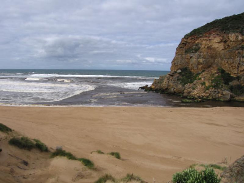
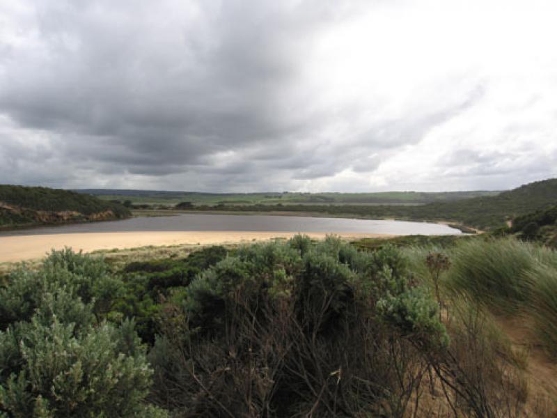
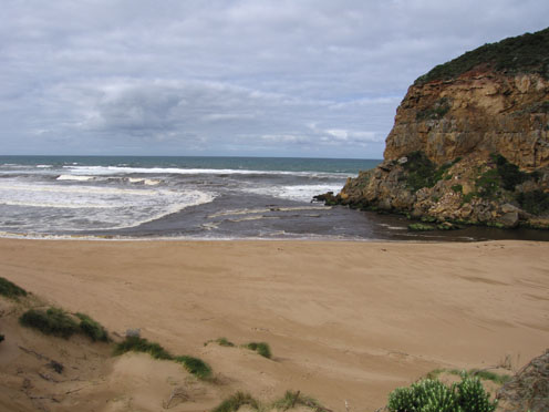
1.Strong outflow of very dirty water going both east & west - along infront of cliffs west. Discharge east stops at end of beach & turns south for short distance.Dark water can be seen south (about 100m.)
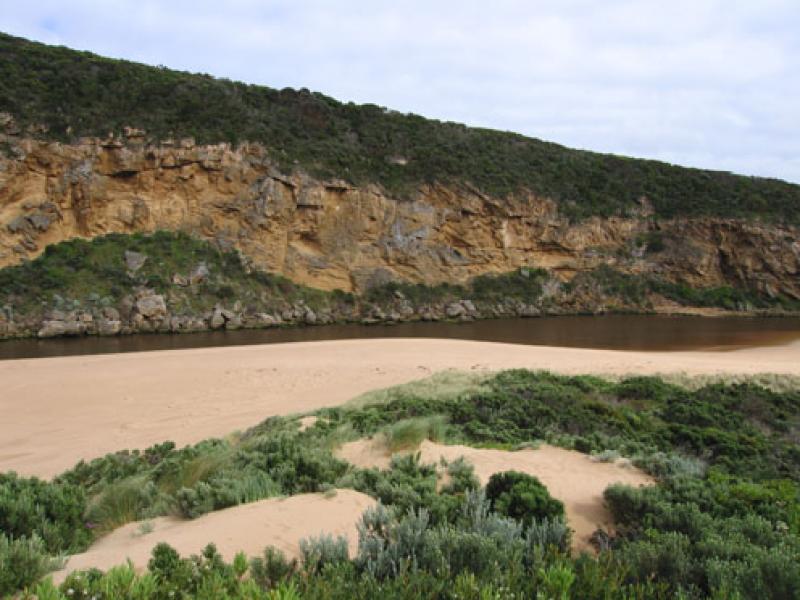
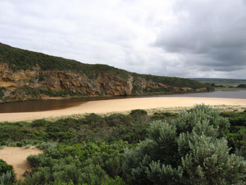
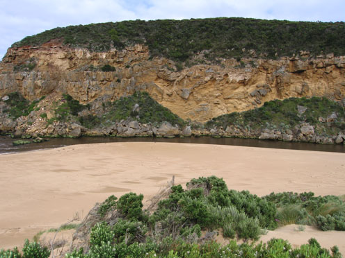
2.Beach still 'horseshoe' shaped but small 'cliffs' building up in center
3.More sand build up from mouth to center of beach,water close to base of dunes but projection at east is rounding off.
Evidence of longshore drift carrying sand into channel behind rocks. Channel has steep banks
4.Senecio elegans flowering in dunes and along cliff.Serious increase of infestation since last year
5.Dead sea bird at east end of beach
Mouth Observation
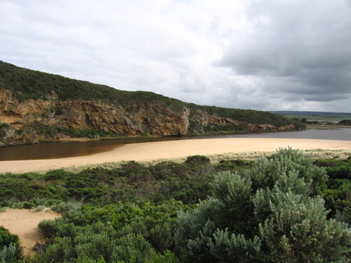
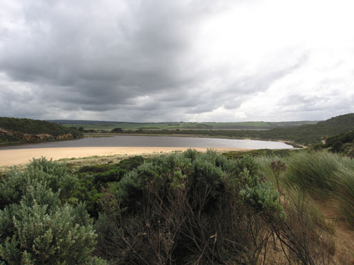
| Mouth state | Open |
|---|---|
| Previous | O O C O O O C C C C O O O O O O O O C C C C C C C C C O C O O O O O O P O O O O P P P C P P O O O O P P O O O O O O C O O O O O O O O O O O O O O O O O O O O O |
| Flow Present? | Yes |
| Previous | Y Y N Y Y Y N N Y Y Y Y Y Y Y Y Y N N N N N N N N Y N Y Y Y Y Y Y Y Y Y Y Y Y Y Y N Y Y Y Y Y Y Y Y Y Y Y Y Y Y Y Y Y Y Y Y Y Y Y Y Y Y Y Y Y Y Y Y Y Y Y Y |
| Flow Direction | Out |
| Previous | O O N O O O N N I O O O O O O O I N N N N N N N N O N O O O O O O I O O O O O I N I I O O O I I O O O O I I O I O O O O O O O O O O O O O O O O O O O O |
| Above Sea | Above Estuary | |
|---|---|---|
| Berm Height (m) | ||
| Berm Length (m) |
Physical Condition
| Current | Mode | |
|---|---|---|
| Wind Direction | South | West |
| Beaufort Scale | Fresh breeze | Fresh breeze |
| Sea State | Moderate | Moderate |


All content, files, data and images provided by the EstuaryWatch Data Portal and Gallery are subject to a Creative Commons Attribution License
Content is made available to be used in any way, and should always attribute EstuaryWatch and www.estuarywatch.org.au