EstuaryWatch Data Portal
GMC Gellibrand River Estuary Mouth Observation Site
27 November 2009
Observation details
Overview
| Estuary | Gellibrand River Estuary |
|---|---|
| Site | Gellibrand River Estuary Mouth Observation Site |
| Observation ID | #2849 |
| Date and Time | Friday 27th November 2009 12:50pm |
| Approved | Approved |
Notes
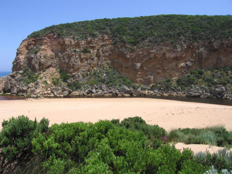
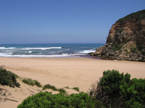
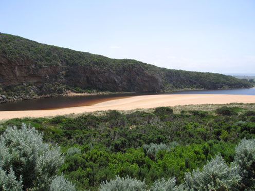
1.Dark reduced discharge around mouth (to about 50m.)and to west.
Paler reduced discharge to east and going out to sea near eastern end of beach. A lot of sand visiable in waves
2.Depth at entrance reduced 1m. to 1.5m. Sand build up on east side increasing and more sand behind rocks.(longshore drift) No flow at all on east side
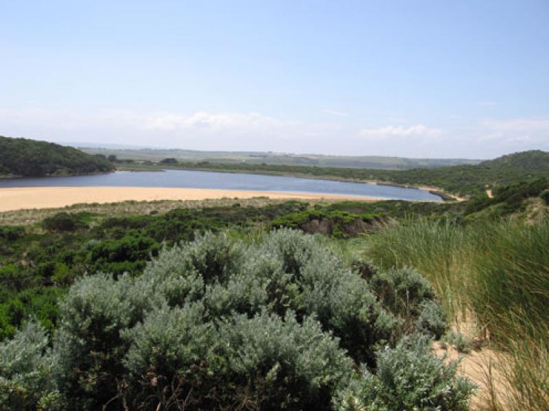
3. water level in estuary higher, many small fish s/e side. Algae forming. Many moth wings along high water mark
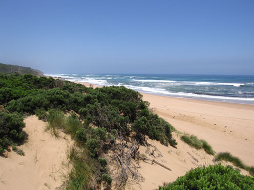
4.Large flock of gulls circling beach. 6 dead petrels on high tide mark in estuary.( old remains)
5. Australian lotus plant in flower (rare)
Mouth Observation
| Mouth state | Open |
|---|---|
| Previous | C C C C O O O O O O O O C C C C C C C C C O C O O O O O O P O O O O P P P C P P O O O O P P O O O O O O C O O O O O O O O O O O O O O O O O O O O O O O O O O O |
| Flow Present? | Yes |
| Previous | N N Y Y Y Y Y Y Y Y Y N N N N N N N N Y N Y Y Y Y Y Y Y Y Y Y Y Y Y Y N Y Y Y Y Y Y Y Y Y Y Y Y Y Y Y Y Y Y Y Y Y Y Y Y Y Y Y Y Y Y Y Y Y Y Y Y Y Y Y Y Y Y |
| Flow Direction | Out |
| Previous | N N I O O O O O O O I N N N N N N N N O N O O O O O O I O O O O O I N I I O O O I I O O O O I I O I O O O O O O O O O O O O O O O O O O O O O O O O O O |
| Above Sea | Above Estuary | |
|---|---|---|
| Berm Height (m) | ||
| Berm Length (m) |
Physical Condition
| Current | Mode | |
|---|---|---|
| Wind Direction | South | South-West |
| Beaufort Scale | Fresh breeze | Fresh breeze |
| Sea State | Moderate | Moderate |


All content, files, data and images provided by the EstuaryWatch Data Portal and Gallery are subject to a Creative Commons Attribution License
Content is made available to be used in any way, and should always attribute EstuaryWatch and www.estuarywatch.org.au