EstuaryWatch Data Portal
GMC Gellibrand River Estuary Mouth Observation Site
4 December 2009
Observation details
Overview
| Estuary | Gellibrand River Estuary |
|---|---|
| Site | Gellibrand River Estuary Mouth Observation Site |
| Observation ID | #2883 |
| Date and Time | Friday 4th December 2009 09:07am |
| Approved | Approved |
Notes
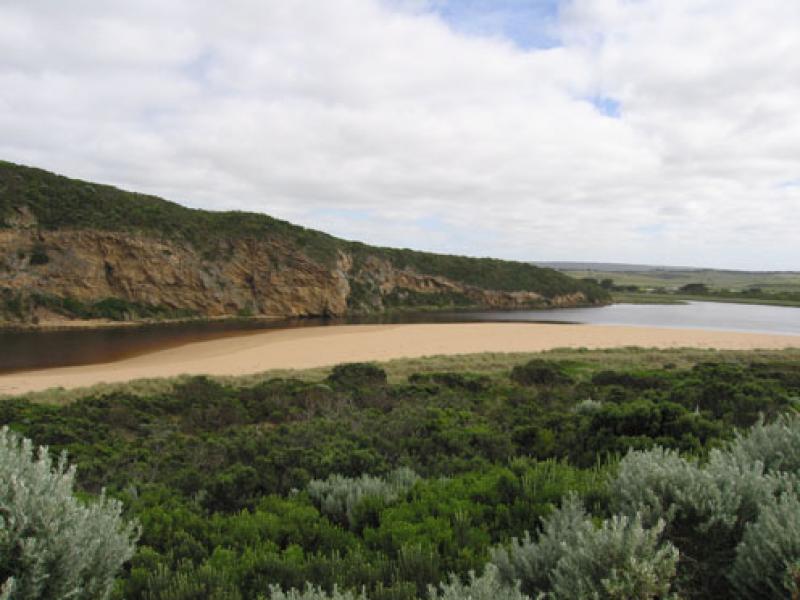
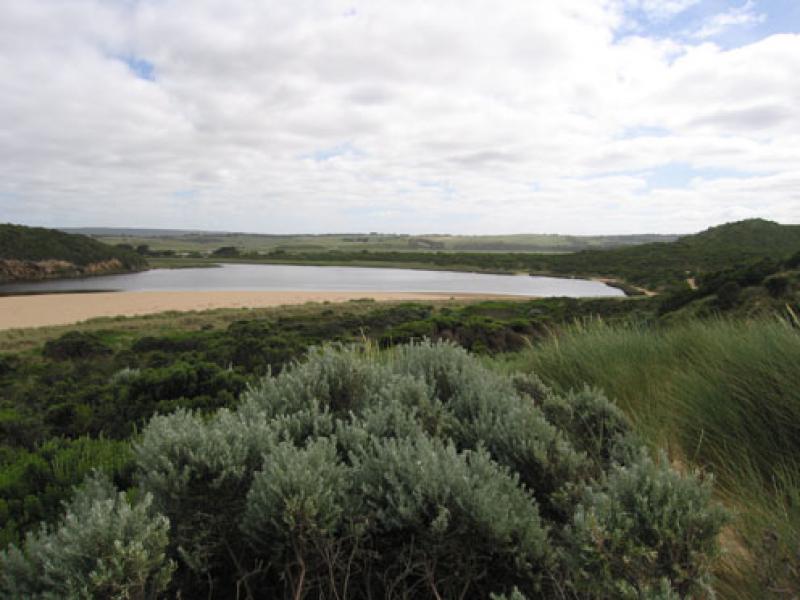
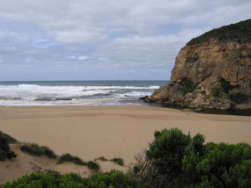
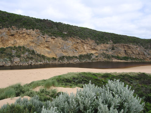
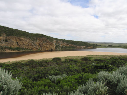
1. Dark discharge around mouth & to the west . Paler colour out to sea (about 50m.) also along shore line to about 1/3 way from mouth.
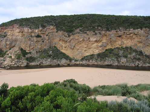
2.Water passing only between rocks and cliff because of sand build up.
3.More sand on east side of entrance, increasing because of longshore dirft. Width of deepest area at mouth 2-3m.- depth 1.- 1.5m.
4.Width of channel infront of rocks 5-6m.
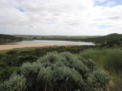
More sand in channel 20-30 m upstream of rocks
5. 44ml rain upstream from 091127-091204 has assisted flow
Mouth Observation
| Mouth state | Open |
|---|---|
| Previous | C C O O O O O O O O C C C C C C C C C O C O O O O O O P O O O O P P P C P P O O O O P P O O O O O O C O O O O O O O O O O O O O O O O O O O O O O O O O O O O |
| Flow Present? | Yes |
| Previous | N Y Y Y Y Y Y Y Y Y N N N N N N N N Y N Y Y Y Y Y Y Y Y Y Y Y Y Y Y N Y Y Y Y Y Y Y Y Y Y Y Y Y Y Y Y Y Y Y Y Y Y Y Y Y Y Y Y Y Y Y Y Y Y Y Y Y Y Y Y Y Y Y |
| Flow Direction | Out |
| Previous | N I O O O O O O O I N N N N N N N N O N O O O O O O I O O O O O I N I I O O O I I O O O O I I O I O O O O O O O O O O O O O O O O O O O O O O O O O O O |
| Above Sea | Above Estuary | |
|---|---|---|
| Berm Height (m) | ||
| Berm Length (m) |
Physical Condition
| Current | Mode | |
|---|---|---|
| Wind Direction | South | South-West |
| Beaufort Scale | Moderate breeze | Fresh breeze |
| Sea State | Moderate | Moderate |


All content, files, data and images provided by the EstuaryWatch Data Portal and Gallery are subject to a Creative Commons Attribution License
Content is made available to be used in any way, and should always attribute EstuaryWatch and www.estuarywatch.org.au