EstuaryWatch Data Portal
GMC Gellibrand River Estuary Mouth Observation Site
11 December 2009
Observation details
Overview
| Estuary | Gellibrand River Estuary |
|---|---|
| Site | Gellibrand River Estuary Mouth Observation Site |
| Observation ID | #2913 |
| Date and Time | Friday 11th December 2009 09:25am |
| Approved | Approved |
Notes
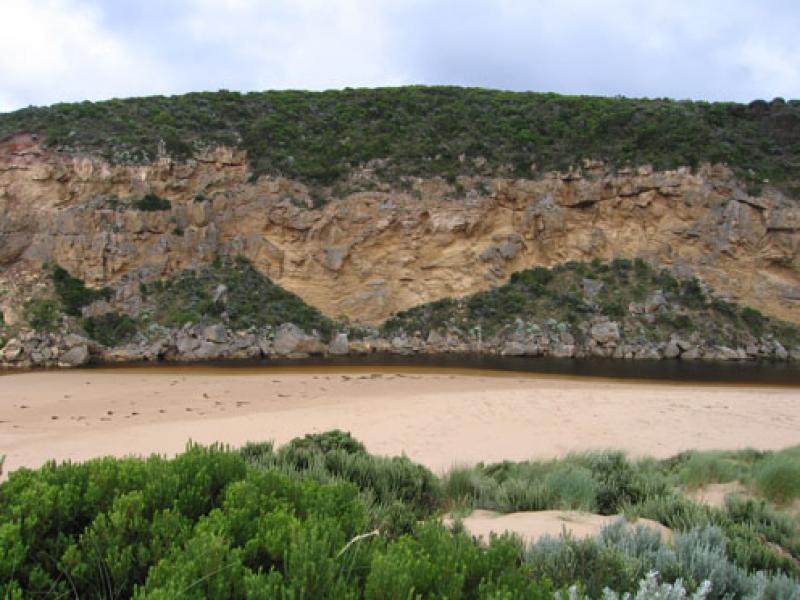
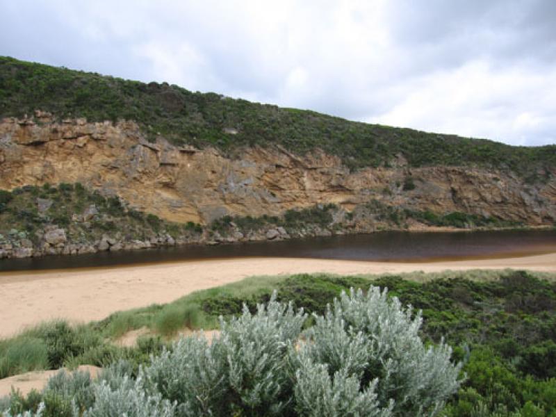
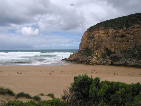
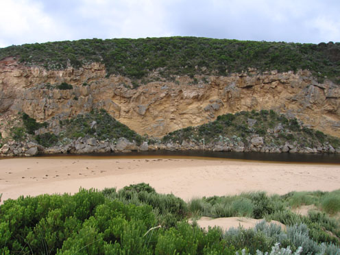
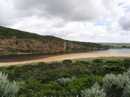
1. Greatly reduced outflow, slight pale discharge around mouth, large amount of sand visiable in rough water
2. Large sand build up at mouth. Channel between rocks and entrance now only 10 -50cm.deep
Width between rocks and cliff 2m.
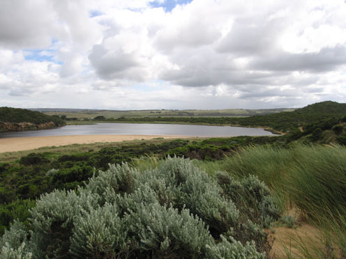
3.High sand build up mid beach, longshore drift bringing more sand into channel.Area behind rocks has more sand
4.Water level in estuary higher.Wide variety of coloured seaweed at high tide mark
5.Gladiolus undulatus flowering along low track to beach
Mouth Observation
| Mouth state | Open |
|---|---|
| Previous | C O O O O O O O O C C C C C C C C C O C O O O O O O P O O O O P P P C P P O O O O P P O O O O O O C O O O O O O O O O O O O O O O O O O O O O O O O O O O O O |
| Flow Present? | Yes |
| Previous | N Y Y Y Y Y Y Y Y Y N N N N N N N N Y N Y Y Y Y Y Y Y Y Y Y Y Y Y Y N Y Y Y Y Y Y Y Y Y Y Y Y Y Y Y Y Y Y Y Y Y Y Y Y Y Y Y Y Y Y Y Y Y Y Y Y Y Y Y Y Y Y Y Y |
| Flow Direction | Out |
| Previous | N I O O O O O O O I N N N N N N N N O N O O O O O O I O O O O O I N I I O O O I I O O O O I I O I O O O O O O O O O O O O O O O O O O O O O O O O O O O O |
| Above Sea | Above Estuary | |
|---|---|---|
| Berm Height (m) | ||
| Berm Length (m) |
Physical Condition
| Current | Mode | |
|---|---|---|
| Wind Direction | South | South-West |
| Beaufort Scale | High wind, moderate gale, near gale | Fresh breeze |
| Sea State | Rough | Moderate |


All content, files, data and images provided by the EstuaryWatch Data Portal and Gallery are subject to a Creative Commons Attribution License
Content is made available to be used in any way, and should always attribute EstuaryWatch and www.estuarywatch.org.au