EstuaryWatch Data Portal
GMC Gellibrand River Estuary Mouth Observation Site
19 December 2009
Observation details
Overview
| Estuary | Gellibrand River Estuary |
|---|---|
| Site | Gellibrand River Estuary Mouth Observation Site |
| Observation ID | #2941 |
| Date and Time | Saturday 19th December 2009 08:40am |
| Approved | Approved |
Notes
1.Rainfall at G6. (16.12.09-19.12.09).= 36ml
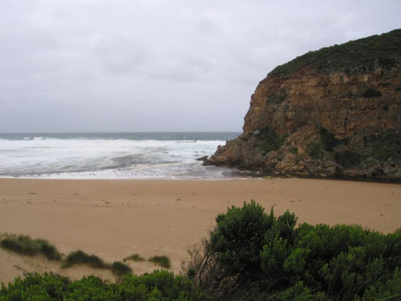
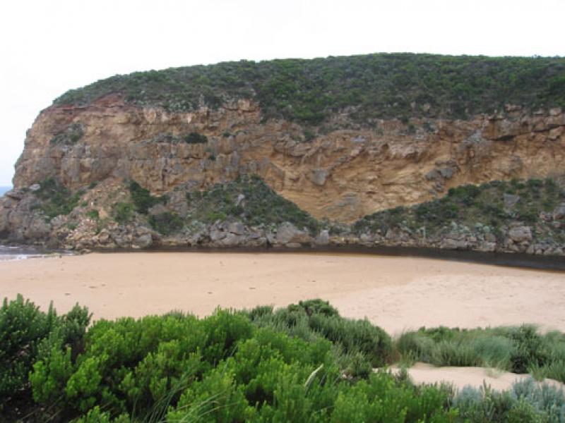
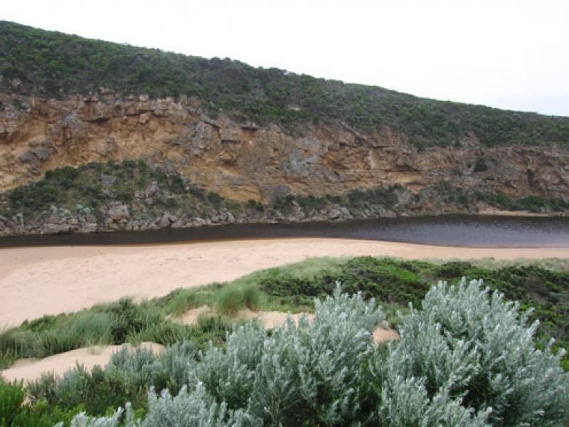
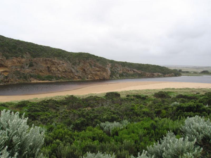
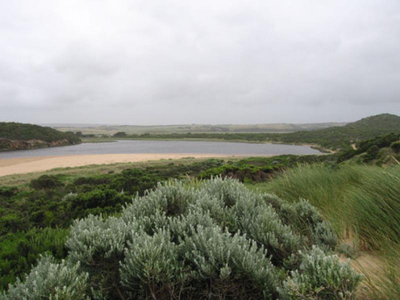
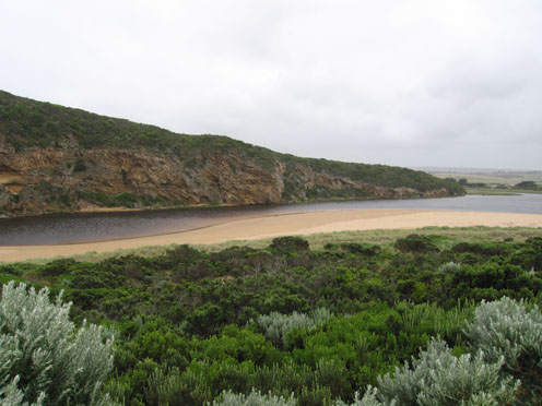
2. More sand at entrance, shallow from rocks to sea.More sand against cliffs
Discharge around mouth and out to 2nd sandbar. Some to about 1/3 to east along shoreline.
3. Longshore drift bringing more sand into channel, water going in all directions at mouth. Occaisonally a small wave entering mouth
4. Sand build up along beach -much higher.
Evidence of water high up on beach and in estuary during last high tide
5.Dark Kestrel near cliffs and around estuary
Mouth Observation
| Mouth state | Open |
|---|---|
| Previous | O O O O O O C C C C C C C C C O C O O O O O O P O O O O P P P C P P O O O O P P O O O O O O C O O O O O O O O O O O O O O O O O O O O O O O O O O O O O O |
| Flow Present? | Yes |
| Previous | Y Y Y Y Y Y Y N N N N N N N N Y N Y Y Y Y Y Y Y Y Y Y Y Y Y Y N Y Y Y Y Y Y Y Y Y Y Y Y Y Y Y Y Y Y Y Y Y Y Y Y Y Y Y Y Y Y Y Y Y Y Y Y Y Y Y Y Y Y Y Y Y |
| Flow Direction | Out |
| Previous | O O O O O O I N N N N N N N N O N O O O O O O I O O O O O I N I I O O O I I O O O O I I O I O O O O O O O O O O O O O O O O O O O O O O O O O O O O O |
| Above Sea | Above Estuary | |
|---|---|---|
| Berm Height (m) | ||
| Berm Length (m) |
Physical Condition
| Current | Mode | |
|---|---|---|
| Wind Direction | South | South-West |
| Beaufort Scale | High wind, moderate gale, near gale | Fresh breeze |
| Sea State | Rough | Moderate |


All content, files, data and images provided by the EstuaryWatch Data Portal and Gallery are subject to a Creative Commons Attribution License
Content is made available to be used in any way, and should always attribute EstuaryWatch and www.estuarywatch.org.au