EstuaryWatch Data Portal
GMC Gellibrand River Estuary Mouth Observation Site
26 December 2009
Observation details
Overview
| Estuary | Gellibrand River Estuary |
|---|---|
| Site | Gellibrand River Estuary Mouth Observation Site |
| Observation ID | #2961 |
| Date and Time | Saturday 26th December 2009 07:00am |
| Approved | Approved |
Notes
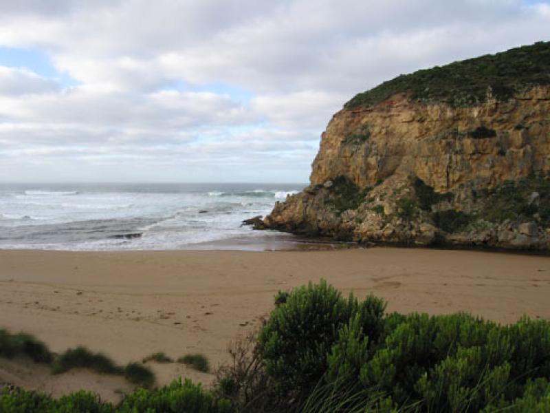
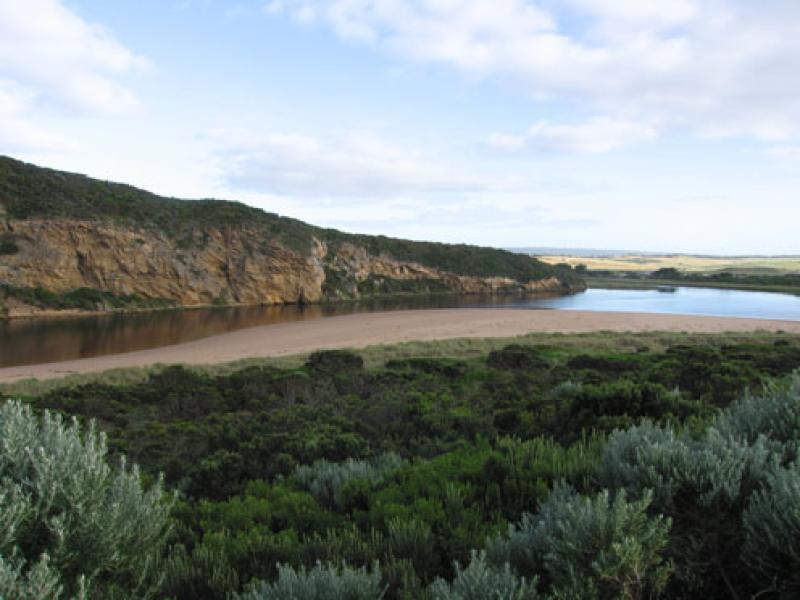
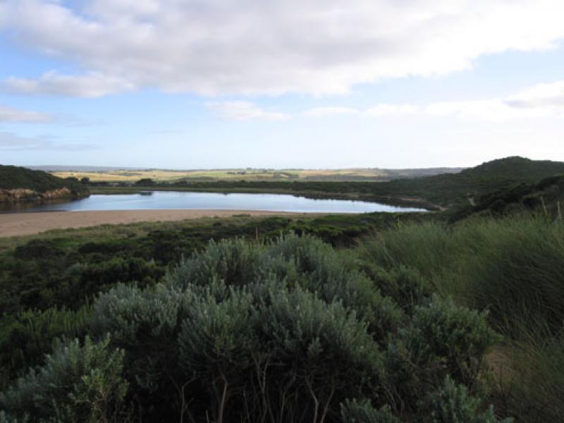
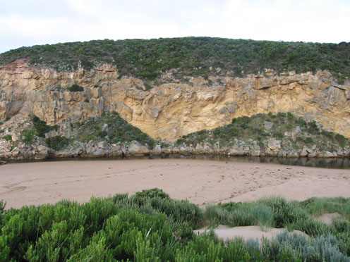
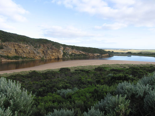
1.Reduced outflow, mainly around mouth & slightly to the east .Some lighter coloured water slightly to west.
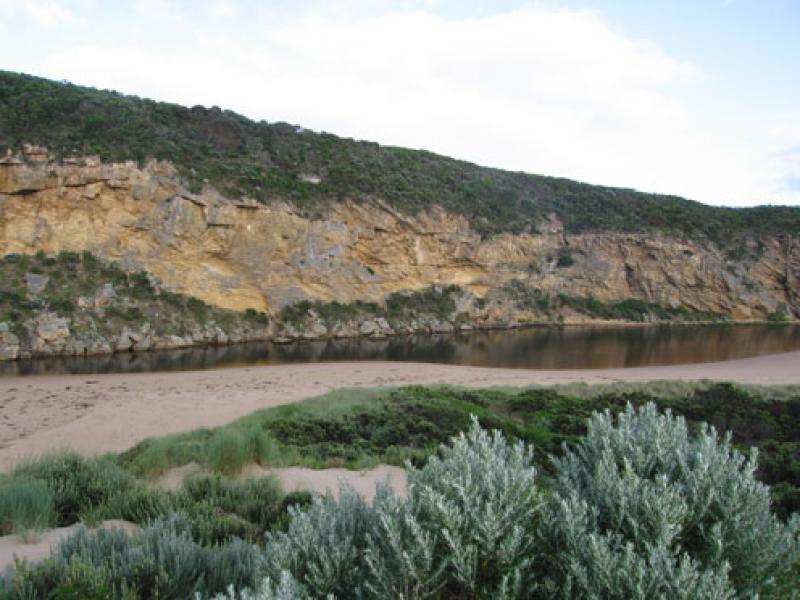
2.Entrance is very shallow and channel has moved to east as sand has built up against the cliff
3.Some waves entering estuary down east side of channel. Longshore drift is continuing to bring sand from mid beach into channel. Beach is high/steep above water.
4.Water mark from last high tide- nearly to base of dunes at corner of estuary
5.Channel behind rocks about 4-5m in width
6.Sand covering rocks at east end of beach
7. Kestrels (3) flying around estuary.
8. 2.5ml rain from19.12.09 - 26.12.09
Mouth Observation
| Mouth state | Open |
|---|---|
| Previous | O O O O O C C C C C C C C C O C O O O O O O P O O O O P P P C P P O O O O P P O O O O O O C O O O O O O O O O O O O O O O O O O O O O O O O O O O O O O O |
| Flow Present? | Yes |
| Previous | Y Y Y Y Y Y N N N N N N N N Y N Y Y Y Y Y Y Y Y Y Y Y Y Y Y N Y Y Y Y Y Y Y Y Y Y Y Y Y Y Y Y Y Y Y Y Y Y Y Y Y Y Y Y Y Y Y Y Y Y Y Y Y Y Y Y Y Y Y Y Y Y |
| Flow Direction | Out |
| Previous | O O O O O I N N N N N N N N O N O O O O O O I O O O O O I N I I O O O I I O O O O I I O I O O O O O O O O O O O O O O O O O O O O O O O O O O O O O O |
| Above Sea | Above Estuary | |
|---|---|---|
| Berm Height (m) | ||
| Berm Length (m) |
Physical Condition
| Current | Mode | |
|---|---|---|
| Wind Direction | South | South-West |
| Beaufort Scale | Light Breeze | Moderate breeze |
| Sea State | Rough | Moderate |


All content, files, data and images provided by the EstuaryWatch Data Portal and Gallery are subject to a Creative Commons Attribution License
Content is made available to be used in any way, and should always attribute EstuaryWatch and www.estuarywatch.org.au