EstuaryWatch Data Portal
GMC Gellibrand River Estuary Mouth Observation Site
1 January 2010
Observation details
Overview
| Estuary | Gellibrand River Estuary |
|---|---|
| Site | Gellibrand River Estuary Mouth Observation Site |
| Observation ID | #2983 |
| Date and Time | Friday 1st January 2010 08:15am |
| Approved | Approved |
Notes
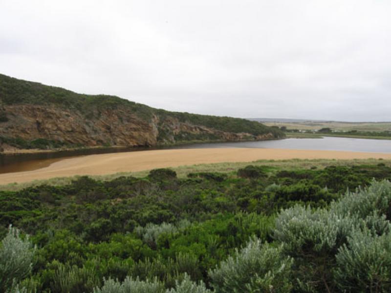
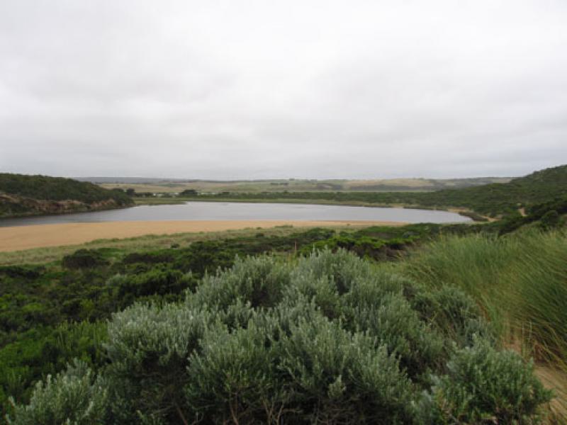
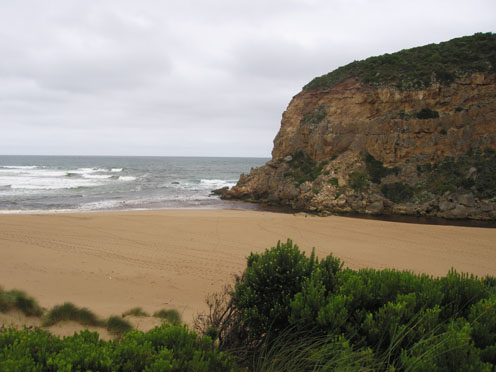
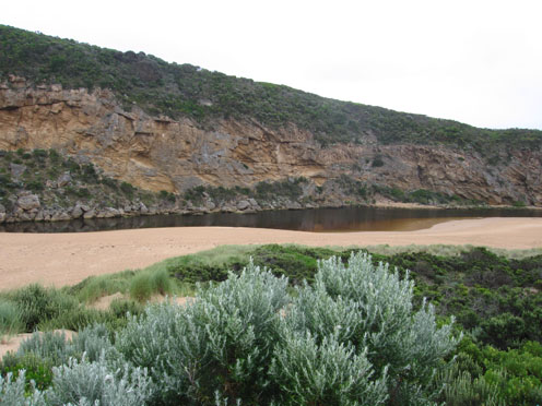
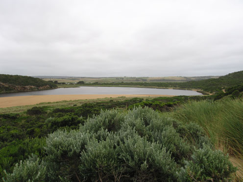
1. Slow outflow, discharge only around mouth
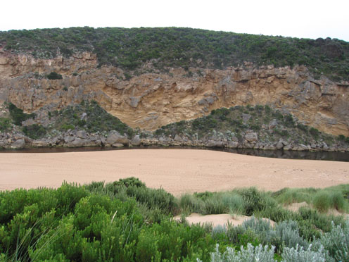
2.Entrance shallow with channel reduced upstream of rocks
3.Steep front on beach with longshore drift bringing more sand into channel. Waves in all directions at mouth.Occassional wave entering channel - movement up-stream evident into estuary
4. 1. Dead fish (photo) east side of estuary.
5.Rotting vegetation on edge of estuary s-side, also green algal growth under water in line along edge
6.Many small fish active near sea grass and shallow area (s/e side estuary)
4.sand build up becomming visiable below recent rock fall
5.Many fish carcase's being left in water near seagrass area by fishermen
Mouth Observation
| Mouth state | Open |
|---|---|
| Previous | O O O O C C C C C C C C C O C O O O O O O P O O O O P P P C P P O O O O P P O O O O O O C O O O O O O O O O O O O O O O O O O O O O O O O O O O O O O O O |
| Flow Present? | Yes |
| Previous | Y Y Y Y Y N N N N N N N N Y N Y Y Y Y Y Y Y Y Y Y Y Y Y Y N Y Y Y Y Y Y Y Y Y Y Y Y Y Y Y Y Y Y Y Y Y Y Y Y Y Y Y Y Y Y Y Y Y Y Y Y Y Y Y Y Y Y Y Y Y Y Y |
| Flow Direction | Out |
| Previous | O O O O I N N N N N N N N O N O O O O O O I O O O O O I N I I O O O I I O O O O I I O I O O O O O O O O O O O O O O O O O O O O O O O O O O O O O O O |
| Above Sea | Above Estuary | |
|---|---|---|
| Berm Height (m) | ||
| Berm Length (m) |
Physical Condition
| Current | Mode | |
|---|---|---|
| Wind Direction | South | South |
| Beaufort Scale | Moderate breeze | Moderate breeze |
| Sea State | Moderate | Slight |


All content, files, data and images provided by the EstuaryWatch Data Portal and Gallery are subject to a Creative Commons Attribution License
Content is made available to be used in any way, and should always attribute EstuaryWatch and www.estuarywatch.org.au