EstuaryWatch Data Portal
GMC Gellibrand River Estuary Mouth Observation Site
12 March 2010
Observation details
Overview
| Estuary | Gellibrand River Estuary |
|---|---|
| Site | Gellibrand River Estuary Mouth Observation Site |
| Observation ID | #3263 |
| Date and Time | Friday 12th March 2010 10:40am |
| Approved | Approved |
Notes
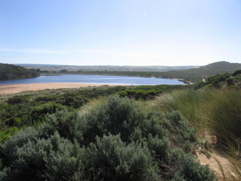
1. Recent rainfall up stream
(07.03.10 - 10.03.10 = 41ml.) has increased flow.
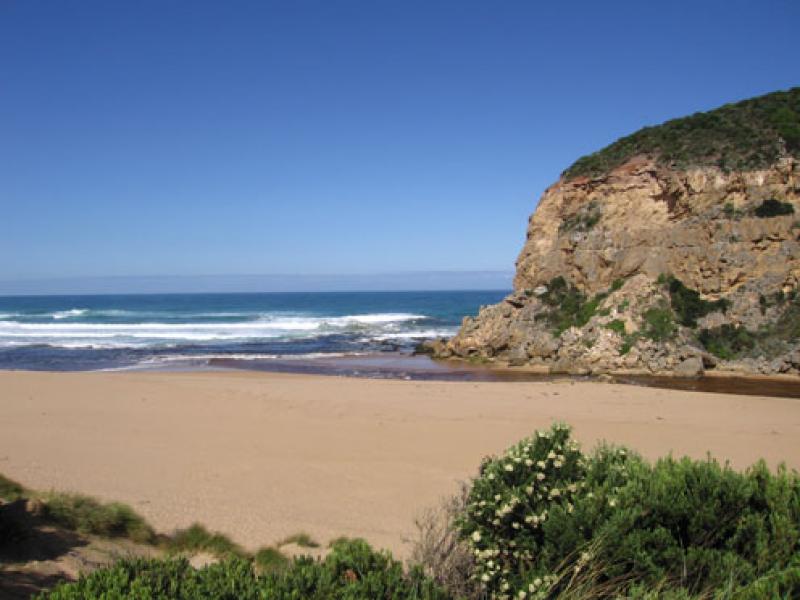
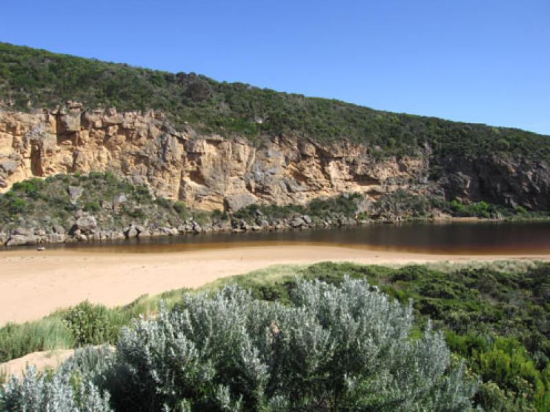
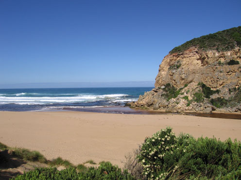
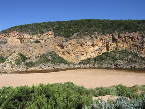
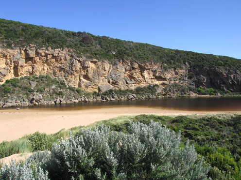
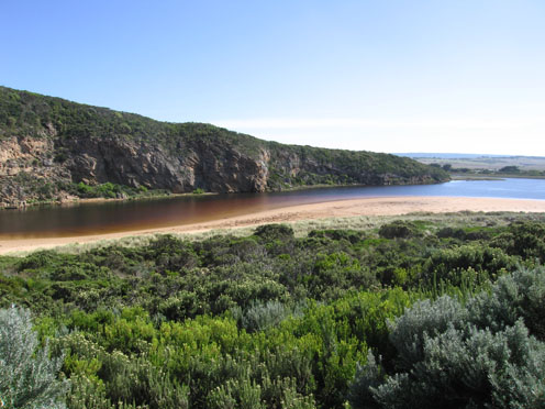
2. Strong out flow -discharge only around mouth and to sw. Channel has moved further to the east (about 8-10m. wide) below rocks with sand build up against cliff.
3. East side of channel has steep side (1m) which is collapsing into flow. Waves in all directions at entrance- longshore drift bringing back more sand into channel
4. Rocks are restricting flow. Water higher behind with a whirlpool. The channel widens in this area to about same as area below.
5.Channel narrows about 30-40m upstream
6. Rocks are exposed at east end and the beach is very wide near mouth
7.Wooden 'gate' at front of tunnel has become detatched and slipped down
Mouth Observation
| Mouth state | Open |
|---|---|
| Previous | C O C O O O O O O P O O O O P P P C P P O O O O P P O O O O O O C O O O O O O O O O O O O O O O O O O O O O O O O O O O O O O O O O O O O O O P O O O O O O O |
| Flow Present? | Yes |
| Previous | N Y N Y Y Y Y Y Y Y Y Y Y Y Y Y Y N Y Y Y Y Y Y Y Y Y Y Y Y Y Y Y Y Y Y Y Y Y Y Y Y Y Y Y Y Y Y Y Y Y Y Y Y Y Y Y Y Y Y Y Y Y Y Y Y Y Y Y Y Y Y Y Y Y Y Y Y Y |
| Flow Direction | Out |
| Previous | N O N O O O O O O I O O O O O I N I I O O O I I O O O O I I O I O O O O O O O O O O O O O O O O O O O O O O O O O O O O O O O O O O O O O O O O O O O O O |
| Above Sea | Above Estuary | |
|---|---|---|
| Berm Height (m) | ||
| Berm Length (m) |
Physical Condition
| Current | Mode | |
|---|---|---|
| Wind Direction | South | South-East |
| Beaufort Scale | Moderate breeze | Moderate breeze |
| Sea State | Moderate | Moderate |


All content, files, data and images provided by the EstuaryWatch Data Portal and Gallery are subject to a Creative Commons Attribution License
Content is made available to be used in any way, and should always attribute EstuaryWatch and www.estuarywatch.org.au