EstuaryWatch Data Portal
GMC Gellibrand River Estuary Mouth Observation Site
20 March 2010
Observation details
Overview
| Estuary | Gellibrand River Estuary |
|---|---|
| Site | Gellibrand River Estuary Mouth Observation Site |
| Observation ID | #3285 |
| Date and Time | Saturday 20th March 2010 16:20pm |
| Approved | Approved |
Notes
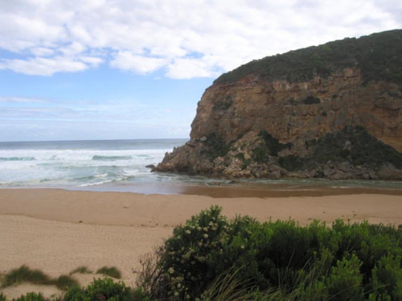
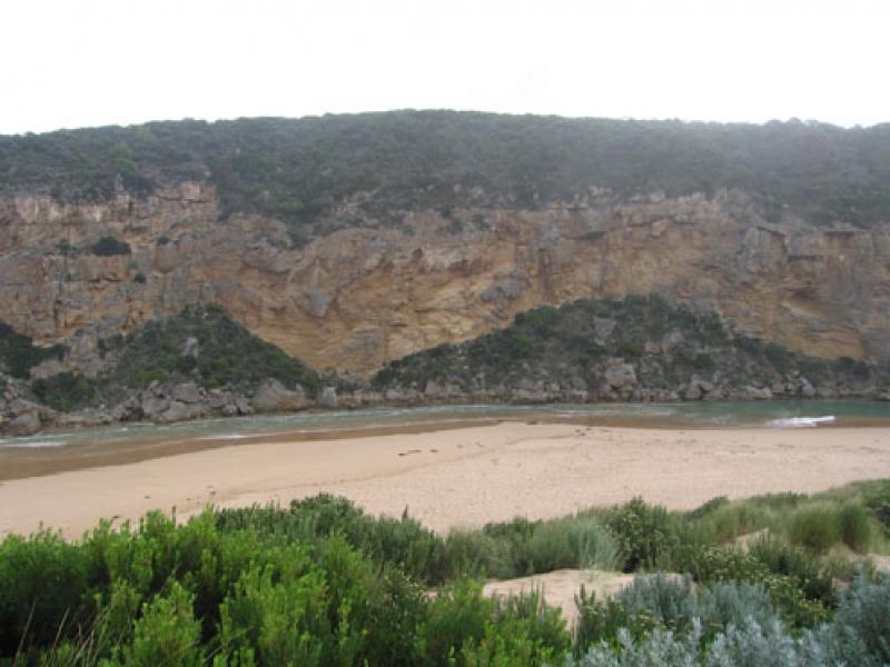
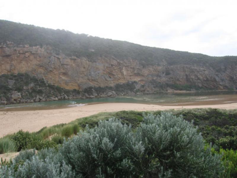
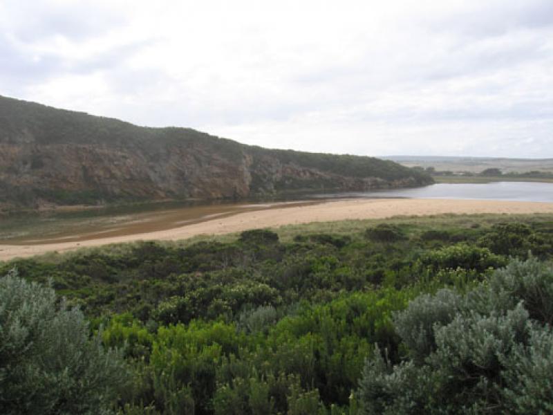
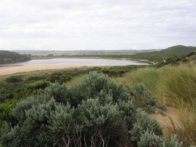
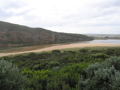
1. Rough sea bringing salt water into channel. Some salt return outflow. All water green/ blue colour. Salt fresh divide close to tunnel entrance. Scum around this area
2. Last high tide - high up on beach
3.Waves in all directions at mouth. Longshore drift bringing sand into channel. Almost no channel upstrean of rocks
Mouth Observation
| Mouth state | Open |
|---|---|
| Previous | O O O P O O O O P P P C P P O O O O P P O O O O O O C O O O O O O O O O O O O O O O O O O O O O O O O O O O O O O O O O O O O O O P O O O O O O O O |
| Flow Present? | Yes |
| Previous | Y Y Y Y Y Y Y Y Y Y Y N Y Y Y Y Y Y Y Y Y Y Y Y Y Y Y Y Y Y Y Y Y Y Y Y Y Y Y Y Y Y Y Y Y Y Y Y Y Y Y Y Y Y Y Y Y Y Y Y Y Y Y Y Y Y Y Y Y Y Y Y Y Y |
| Flow Direction | In |
| Previous | O O O I O O O O O I N I I O O O I I O O O O I I O I O O O O O O O O O O O O O O O O O O O O O O O O O O O O O O O O O O O O O O O O O O O O O O |
| Above Sea | Above Estuary | |
|---|---|---|
| Berm Height (m) | ||
| Berm Length (m) |
Physical Condition
| Current | Mode | |
|---|---|---|
| Wind Direction | South | East |
| Beaufort Scale | Gentle breeze | Gentle breeze |
| Sea State | Rough | Slight |


All content, files, data and images provided by the EstuaryWatch Data Portal and Gallery are subject to a Creative Commons Attribution License
Content is made available to be used in any way, and should always attribute EstuaryWatch and www.estuarywatch.org.au