EstuaryWatch Data Portal
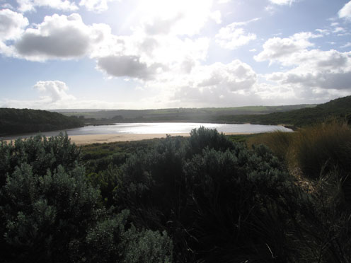
GMC Gellibrand River Estuary Mouth Observation Site
31 July 2010
Observation details
Overview
| Estuary | Gellibrand River Estuary |
|---|---|
| Site | Gellibrand River Estuary Mouth Observation Site |
| Observation ID | #4083 |
| Date and Time | Saturday 31st July 2010 10:25am |
| Approved | Approved |
Notes
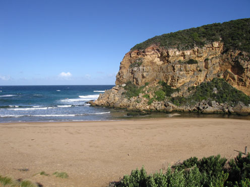
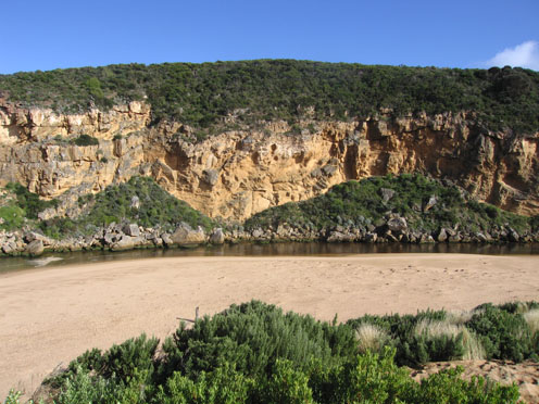
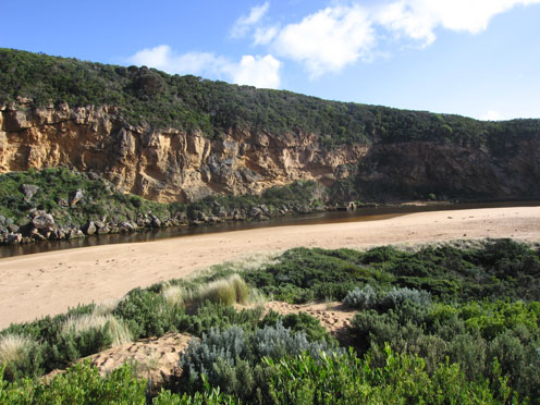
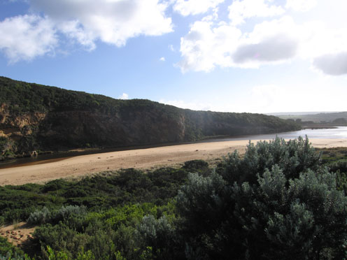
1.Water flowing out but waves entering, salt/fresh divide about 30m. upstream from rocks.
2.Large increase of exposed sand near end of channel (estuary). Channel shallow. Distance from sand to tunnel entrance = 10m.
3.Steep double sand 'cliffs' mid ocean beach
4.Sandbars exposed in estuary
5. Birds - Pied comorant 1, Singing Honeyeaters 3.
Mouth Observation
| Mouth state | Open |
|---|---|
| Previous | O O O O O O O O O O O O O O O O O O O O O O O O O O O O O O O O O P O O O O O O O O O O O O O O P O O O O O O P O O O O O O O |
| Flow Present? | Yes |
| Previous | Y Y Y Y Y Y Y Y Y Y Y Y Y Y Y Y Y Y Y Y Y Y Y Y Y Y Y Y Y Y Y Y Y Y Y Y Y Y Y Y Y Y Y Y Y Y Y Y Y Y Y Y Y Y Y Y Y Y Y Y Y Y Y |
| Flow Direction | Out |
| Previous | O O O O O O O O O O O O O O O O O O O O O O O O O O O O O O O O O O O O O O O O O O I O O I O O I O O O O I O I O I O O I O O |
| Above Sea | Above Estuary | |
|---|---|---|
| Berm Height (m) | ||
| Berm Length (m) |
Physical Condition
| Current | Mode | |
|---|---|---|
| Wind Direction | North-West | |
| Beaufort Scale | Fresh breeze | |
| Sea State | Moderate |


All content, files, data and images provided by the EstuaryWatch Data Portal and Gallery are subject to a Creative Commons Attribution License
Content is made available to be used in any way, and should always attribute EstuaryWatch and www.estuarywatch.org.au