EstuaryWatch Data Portal
GMC Gellibrand River Estuary Mouth Observation Site
6 August 2010
Observation details
Overview
| Estuary | Gellibrand River Estuary |
|---|---|
| Site | Gellibrand River Estuary Mouth Observation Site |
| Observation ID | #4103 |
| Date and Time | Friday 6th August 2010 11:25am |
| Approved | Approved |
Notes
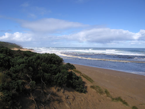
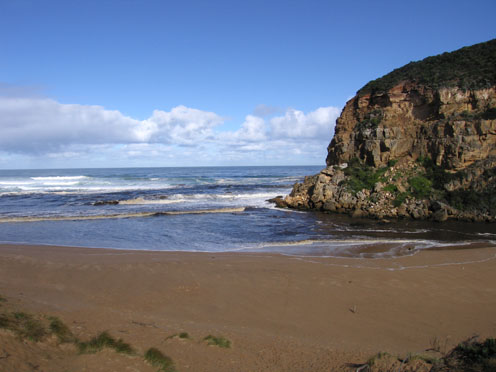
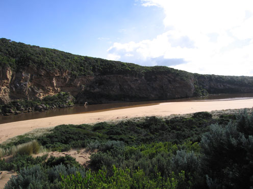
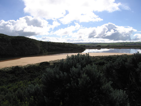
1.Strong outflow with dirty dark brown ochre coloured discharge around mouth & south out to sea. No discharge to east
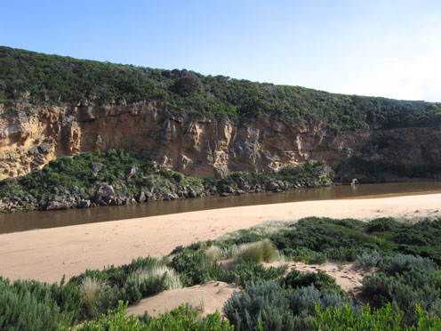
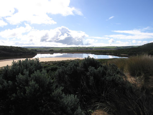
2.Much turbidity in estuary, water opaque with dark deposits of silt left on sand s/e area (also on east end of beach)
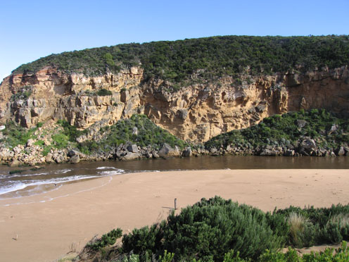
3.Strong outflow from recent heavy rain upstream has caused sand'cliffs' to be formed (1m. high) along channel upstream of rocks
4. Long sand projection into ocean at eastern end of beach. High sand 'cliffs' remain at centre
5.Waves in all directions at mouth, stronger outflow on eastern side of rocks.
6.Longshore drift returning sand back into channel
Mouth Observation
| Mouth state | Open |
|---|---|
| Previous | O O O O O O O O O O O O O O O O O O O O O O O O O O O O O O O O P O O O O O O O O O O O O O O P O O O O O O P O O O O O O O O |
| Flow Present? | Yes |
| Previous | Y Y Y Y Y Y Y Y Y Y Y Y Y Y Y Y Y Y Y Y Y Y Y Y Y Y Y Y Y Y Y Y Y Y Y Y Y Y Y Y Y Y Y Y Y Y Y Y Y Y Y Y Y Y Y Y Y Y Y Y Y Y Y |
| Flow Direction | Out |
| Previous | O O O O O O O O O O O O O O O O O O O O O O O O O O O O O O O O O O O O O O O O O I O O I O O I O O O O I O I O I O O I O O O |
| Above Sea | Above Estuary | |
|---|---|---|
| Berm Height (m) | ||
| Berm Length (m) |
Physical Condition
| Current | Mode | |
|---|---|---|
| Wind Direction | North-West | |
| Beaufort Scale | Gentle breeze | |
| Sea State | Moderate |


All content, files, data and images provided by the EstuaryWatch Data Portal and Gallery are subject to a Creative Commons Attribution License
Content is made available to be used in any way, and should always attribute EstuaryWatch and www.estuarywatch.org.au