EstuaryWatch Data Portal
GMC Gellibrand River Estuary Mouth Observation Site
20 August 2010
Observation details
Overview
| Estuary | Gellibrand River Estuary |
|---|---|
| Site | Gellibrand River Estuary Mouth Observation Site |
| Observation ID | #4223 |
| Date and Time | Friday 20th August 2010 11:40am |
| Approved | Approved |
Notes
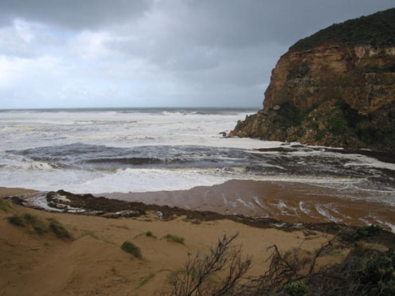
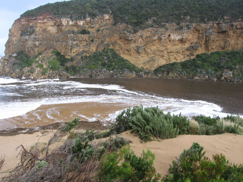
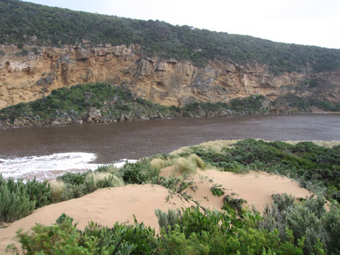
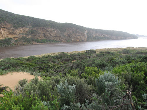
1.Flow is out but some waves up to 1m.high are entering the estuary & travelling toward camping ground and also around to the east side of the estruary.
Water is very dark brown & sand can be seen in waves at least to 100m. out to sea
2.More sand has been cut away from dunes & waves are up to the base of dunes on ocean beach
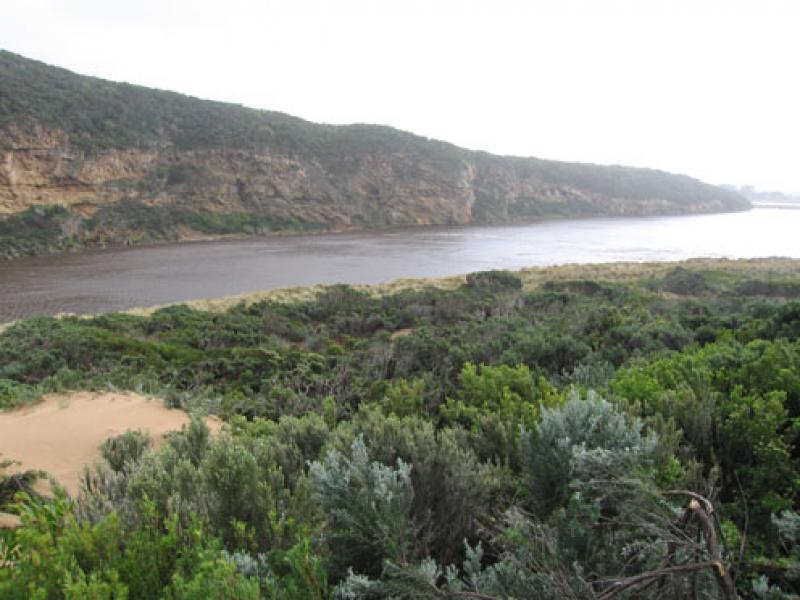
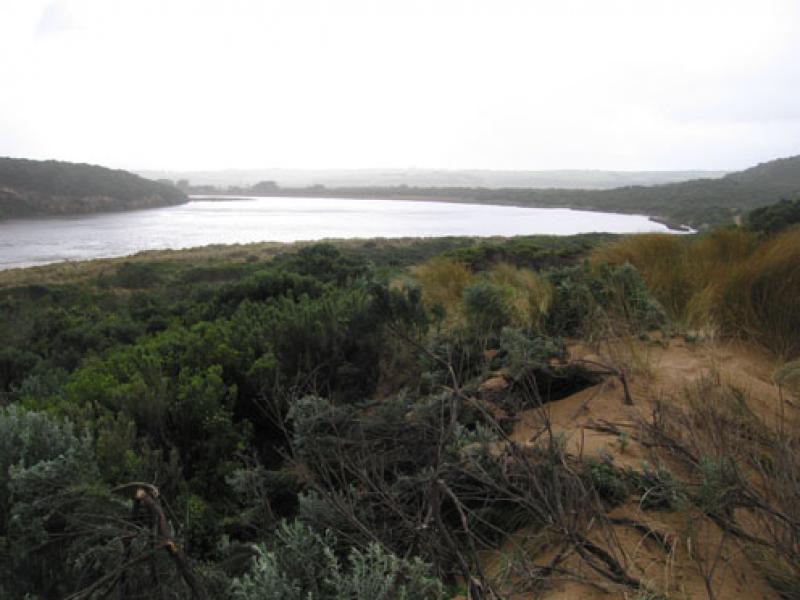
3. Sand is building up again at mouth - only 2 poles visiable. Longshore drift bringing more sand & phragmities back into estuary.
4. Large waves are mainly travelling diagonally across mouth but going in all directions, large build up of foam all along beach and mouth.
5.Wind is also travelling in all directions, 'curtains' of spray circling up to 30m high in estuary
6.Wedge tailed eagles(2) over wetlands
7.over 150 kangaroos sheltering near camping ground
8.Upstream flooded but OOR clear
9.Rainfall 12.08.10 to 19.08.10 = 115ml at G6.
Mouth Observation
| Mouth state | Open |
|---|---|
| Previous | O O O O O O O O O O O O O O O O O O O O O O O O O O O O O O P O O O O O O O O O O O O O O P O O O O O O P O O O O O O O O O O O O |
| Flow Present? | Yes |
| Previous | Y Y Y Y Y Y Y Y Y Y Y Y Y Y Y Y Y Y Y Y Y Y Y Y Y Y Y Y Y Y Y Y Y Y Y Y Y Y Y Y Y Y Y Y Y Y Y Y Y Y Y Y Y Y Y Y Y Y Y Y Y Y Y Y Y |
| Flow Direction | Out |
| Previous | O O O O O O O O O O O O O O O O O O O O O O O O O O O O O O O O O O O O O O O I O O I O O I O O O O I O I O I O O I O O O O O O O |
| Above Sea | Above Estuary | |
|---|---|---|
| Berm Height (m) | ||
| Berm Length (m) |
Physical Condition
| Current | Mode | |
|---|---|---|
| Wind Direction | West | |
| Beaufort Scale | Gale, fresh gale | |
| Sea State | Very Rough |


All content, files, data and images provided by the EstuaryWatch Data Portal and Gallery are subject to a Creative Commons Attribution License
Content is made available to be used in any way, and should always attribute EstuaryWatch and www.estuarywatch.org.au