EstuaryWatch Data Portal
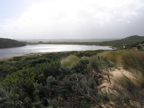
GMC Gellibrand River Estuary Mouth Observation Site
17 September 2010
Observation details
Overview
| Estuary | Gellibrand River Estuary |
|---|---|
| Site | Gellibrand River Estuary Mouth Observation Site |
| Observation ID | #4481 |
| Date and Time | Friday 17th September 2010 10:25am |
| Approved | Approved |
Notes
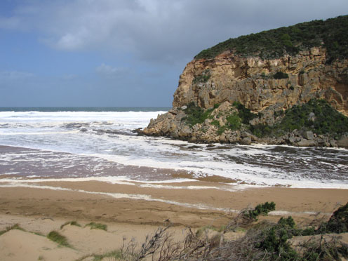
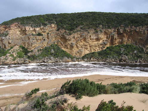
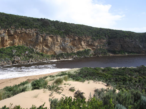
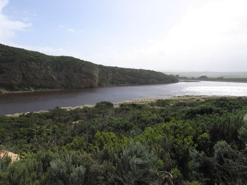
1.Strong dark outflow, waves entering estuary & swinging to east as well as travelling north.
Waves in all directions at mouth. Much foam in channel and along beach
2.Foam & dark sludge on ocean beach close to base of dunes. Waves high up on beach
3. Sand is building up south of rocks and east side of channel
4. More erosion to dunes east side of channel and east side of estuary
5.Birds
Harrier 1, Letterwinged Kite 1.
Mouth Observation
| Mouth state | Open |
|---|---|
| Previous | O O O O O O O O O O O O O O O O O O O O O P O O O O O O O O O O O O O O P O O O O O O P O O O O O O O O O O O O O O O O O |
| Flow Present? | Yes |
| Previous | Y Y Y Y Y Y Y Y Y Y Y Y Y Y Y Y Y Y Y Y Y Y Y Y Y Y Y Y Y Y Y Y Y Y Y Y Y Y Y Y Y Y Y Y Y Y Y Y Y Y Y Y Y Y Y Y Y Y Y Y Y |
| Flow Direction | Out |
| Previous | O O O O O O O O O O O O O O O O O O O O O O O O O O O O O O I O O I O O I O O O O I O I O I O O I O O O O O O O O O O O O |
| Above Sea | Above Estuary | |
|---|---|---|
| Berm Height (m) | ||
| Berm Length (m) |
Physical Condition
| Current | Mode | |
|---|---|---|
| Wind Direction | South | |
| Beaufort Scale | High wind, moderate gale, near gale | |
| Sea State | Rough |


All content, files, data and images provided by the EstuaryWatch Data Portal and Gallery are subject to a Creative Commons Attribution License
Content is made available to be used in any way, and should always attribute EstuaryWatch and www.estuarywatch.org.au