EstuaryWatch Data Portal
GMC Gellibrand River Estuary Mouth Observation Site
24 September 2010
Observation details
Overview
| Estuary | Gellibrand River Estuary |
|---|---|
| Site | Gellibrand River Estuary Mouth Observation Site |
| Observation ID | #4501 |
| Date and Time | Friday 24th September 2010 11:35am |
| Approved | Approved |
Notes
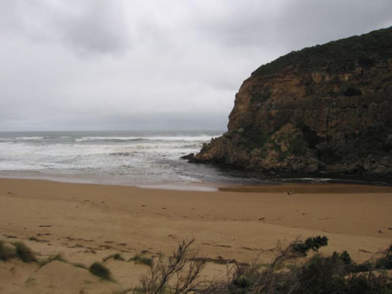
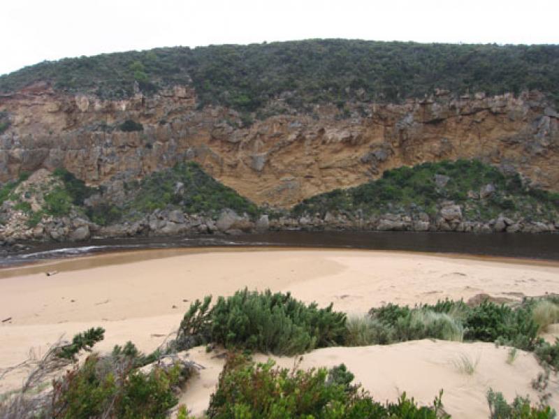
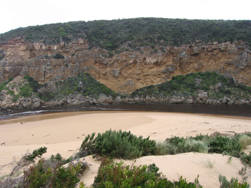
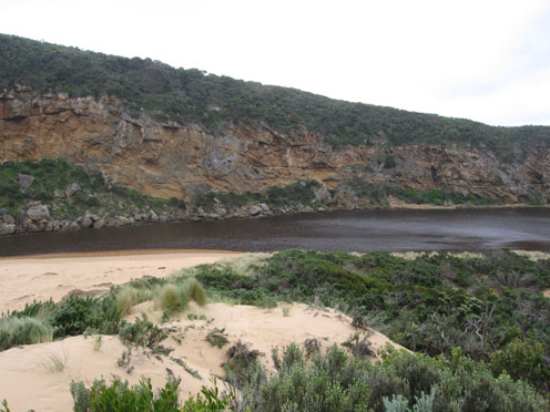
1. Dark & sandy discharge around mouth, to sw & w
2.Channel reduced in width, flowing against west cliff.
Flowing both sides of rocks
2.Larger area of ocean beach exposed, black sand in areas mid beach. Lots of rubbish all along beach
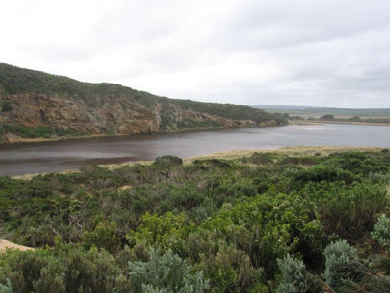
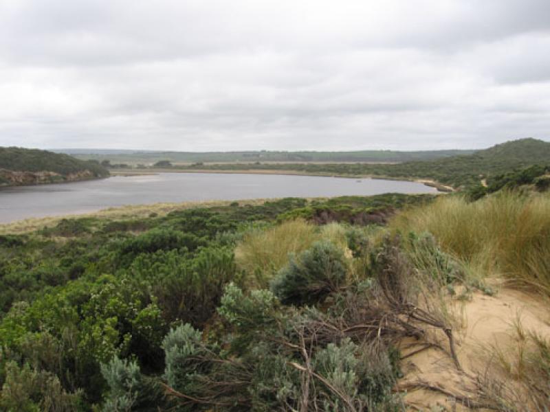
3.Water continuing to erode east side of channel (sand dunes). Also east & south sides of estuary Channels & sand build up are occuring on east side of estuary
4.Several small rocks have fallen from cliff face above entrance to tunnel
5.On 22/09/10 1 dead penguin was found on ocean beach - east end and another was rescued from the next beach and taken to Parks
Mouth Observation
| Mouth state | Open |
|---|---|
| Previous | O O O O O O O O O O O O O O O O O O O O P O O O O O O O O O O O O O O P O O O O O O P O O O O O O O O O O O O O O O O O O |
| Flow Present? | Yes |
| Previous | Y Y Y Y Y Y Y Y Y Y Y Y Y Y Y Y Y Y Y Y Y Y Y Y Y Y Y Y Y Y Y Y Y Y Y Y Y Y Y Y Y Y Y Y Y Y Y Y Y Y Y Y Y Y Y Y Y Y Y Y Y |
| Flow Direction | Out |
| Previous | O O O O O O O O O O O O O O O O O O O O O O O O O O O O O I O O I O O I O O O O I O I O I O O I O O O O O O O O O O O O O |
| Above Sea | Above Estuary | |
|---|---|---|
| Berm Height (m) | ||
| Berm Length (m) |
Physical Condition
| Current | Mode | |
|---|---|---|
| Wind Direction | North-West | South-West |
| Beaufort Scale | High wind, moderate gale, near gale | Strong breeze |
| Sea State | Rough | Rough |


All content, files, data and images provided by the EstuaryWatch Data Portal and Gallery are subject to a Creative Commons Attribution License
Content is made available to be used in any way, and should always attribute EstuaryWatch and www.estuarywatch.org.au