EstuaryWatch Data Portal
GMC Gellibrand River Estuary Mouth Observation Site
10 December 2010
Observation details
Overview
| Estuary | Gellibrand River Estuary |
|---|---|
| Site | Gellibrand River Estuary Mouth Observation Site |
| Observation ID | #4801 |
| Date and Time | Friday 10th December 2010 09:55am |
| Approved | Approved |
Notes
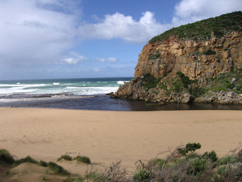
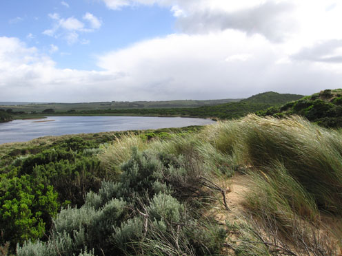
1.Increased flow from recent rainfall (55ml since 07/12/10) - very dark discharge along foreshore to the eastern end of beach then out to sea
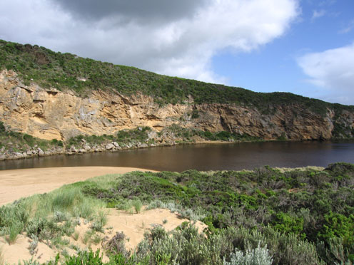
2.Width of channel has increased with strong flow on both sides of rocks. Water has 'cut' into bank
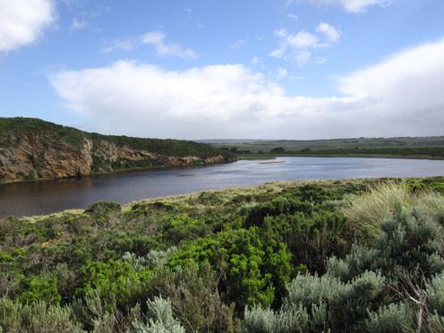
3.More water in estuary
4. Waves travelling on an angle across mouth and impacting on east end of beach which is covered with brown scum and foam
5.Longshore drift is bringing more sand to mouith and channel
Mouth Observation
| Mouth state | Open |
|---|---|
| Previous | O O O O O O O O O P O O O O O O O O O O O O O O P O O O O O O P O O O O O O O O O O O O O O O O O O O O O O O O O O O O O |
| Flow Present? | Yes |
| Previous | Y Y Y Y Y Y Y Y Y Y Y Y Y Y Y Y Y Y Y Y Y Y Y Y Y Y Y Y Y Y Y Y Y Y Y Y Y Y Y Y Y Y Y Y Y Y Y Y Y Y Y Y Y Y Y Y Y Y Y Y Y |
| Flow Direction | Out |
| Previous | O O O O O O O O O O O O O O O O O O I O O I O O I O O O O I O I O I O O I O O O O O O O O O O O O O O O O O O O O O O O O |
| Above Sea | Above Estuary | |
|---|---|---|
| Berm Height (m) | ||
| Berm Length (m) |
Physical Condition
| Current | Mode | |
|---|---|---|
| Wind Direction | South-West | |
| Beaufort Scale | Strong breeze | |
| Sea State | Moderate |


All content, files, data and images provided by the EstuaryWatch Data Portal and Gallery are subject to a Creative Commons Attribution License
Content is made available to be used in any way, and should always attribute EstuaryWatch and www.estuarywatch.org.au