Observation details

Overview

Estuary Barwon River Estuary
Site Barwon River - Observation Site
Observation ID #4861
Date and Time Saturday 18th December 2010 15:20pm
Approved Approved

Notes

Position of BP1 and BP2 approximate as light towers no longer present on bridge.
BP1: 53m from western end of railing on road bridge
BP2: 10m west of navigation channel, measured from line of red buoys
Construction sign marking BP3 no longer present, grassy knol still obvious.

Mouth Observation

Mouth state
Previous
Flow Present? No
Previous
Flow Direction Out
Previous O S O O I O S I O I O
Above Sea Above Estuary
Berm Height (m)
Berm Length (m)

Physical Condition

Current Mode
Wind Direction South-West
Beaufort Scale Gentle breeze
Sea State Calm (rippled)

Water Levels and Tides

Water Level Start Finish
Height (m) 0.65m 0.70m
Time (hh:mm) 15:20 16:00
Tidal influence No
Tidal Range Time Height
High
Low 15:06 0.410

Observation Documents

Link Date File name Description

Download
18-12-2010 15:30 Photopoint

Download
18-12-2010 15:30 Photopoint

Download
18-12-2010 15:30 Photopoint

Download
18-12-2010 15:30 Photopoint

Download
18-12-2010 15:30 Photopoint

Download
18-12-2010 15:30 Photopoint

Download
18-12-2010 15:30 Photopoint

Download
18-12-2010 15:30 Photopoint

Download
18-12-2010 15:30 Photopoint Construction sign no longer present. See note.

Download
18-12-2010 15:30 Photopoint Position approximate. See note

Download
18-12-2010 15:30 Photopoint Position approximate. See note.
Construction sign no longer present. See note.
Position approximate. See note
Position approximate. See note.
Creative Commons CC BY
All content, files, data and images provided by the EstuaryWatch Data Portal
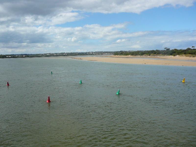
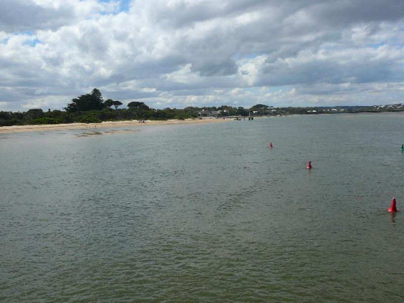
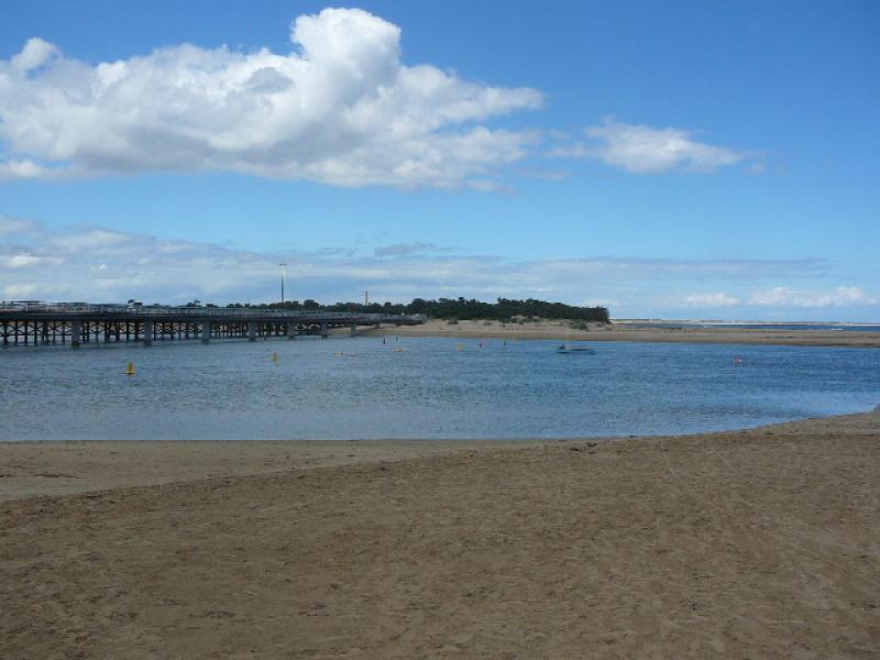
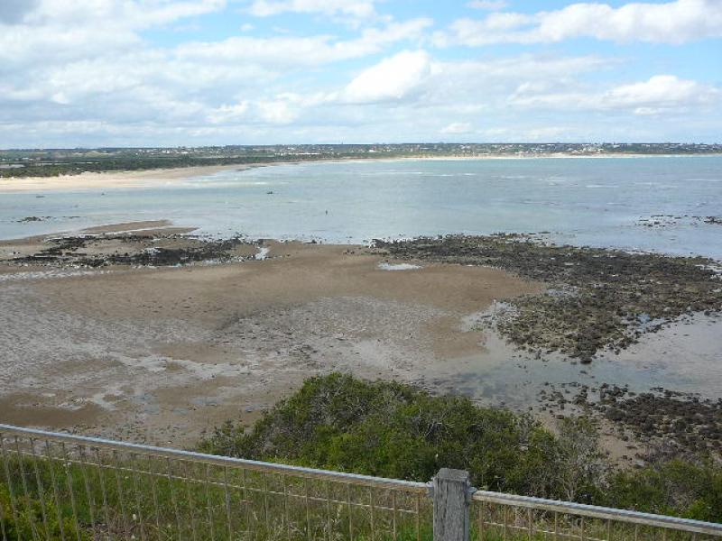
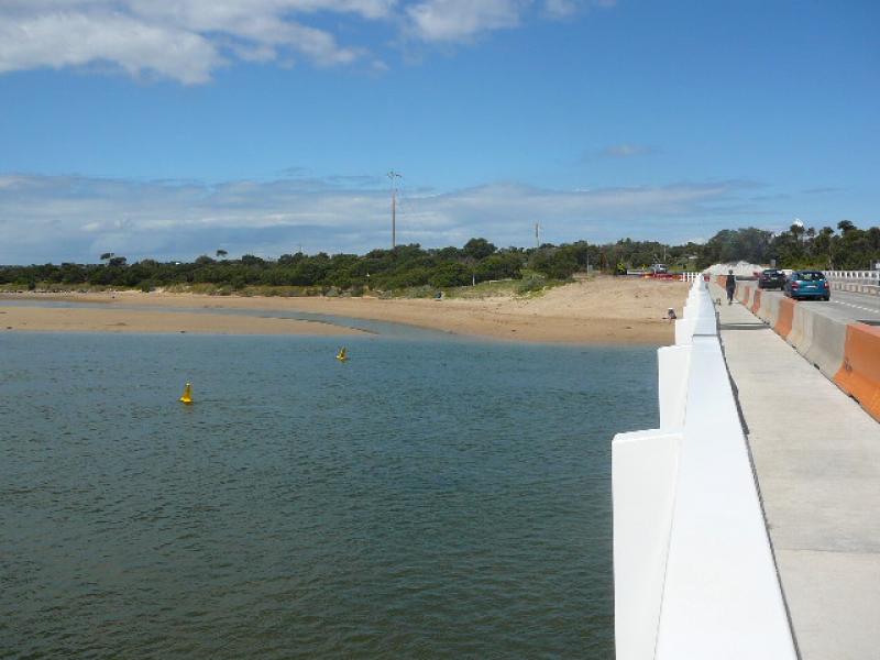
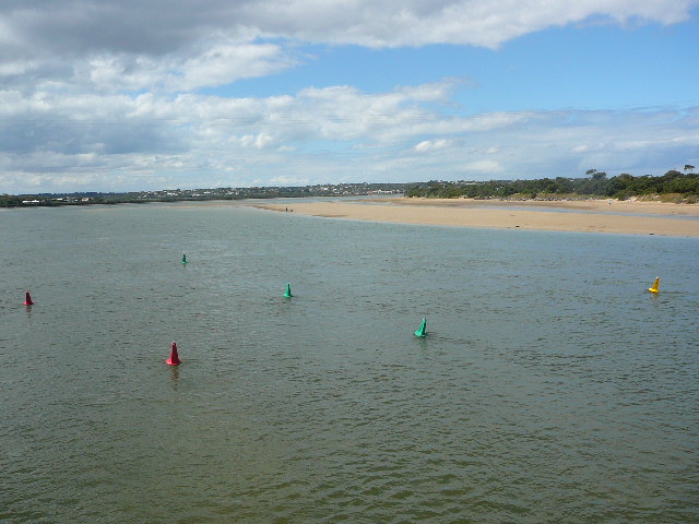
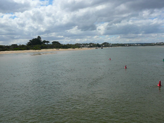
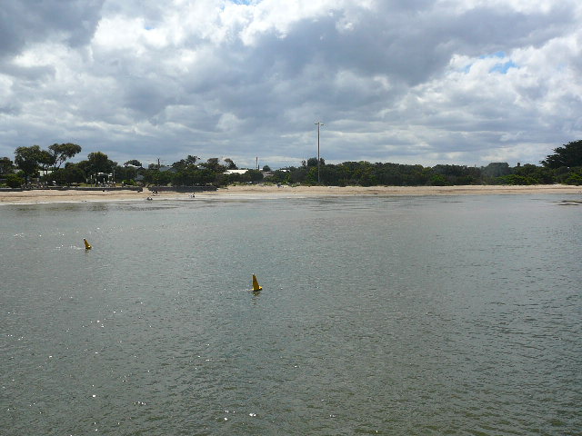
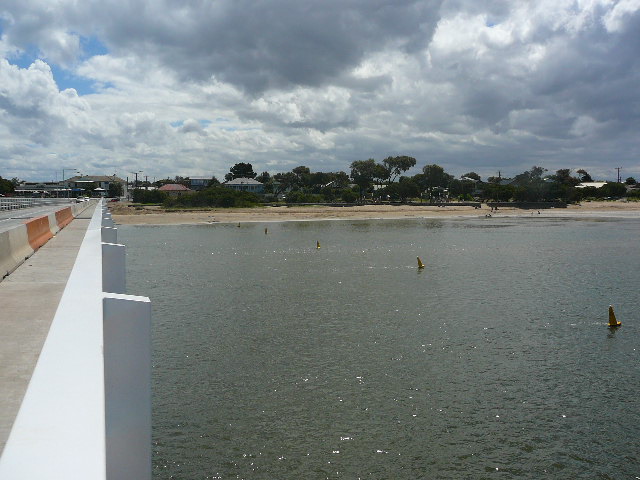
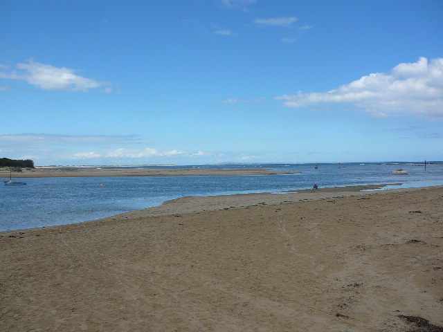
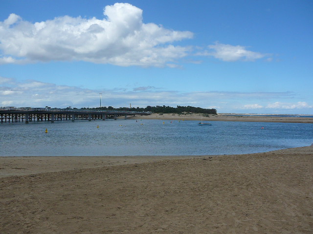
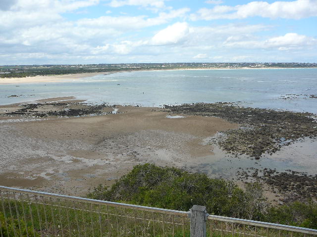
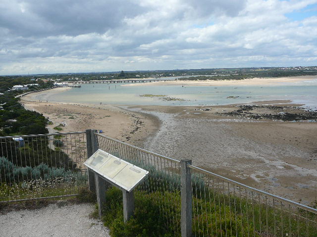
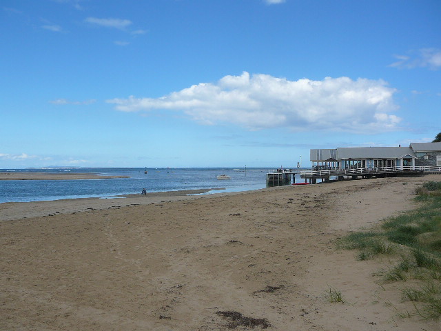
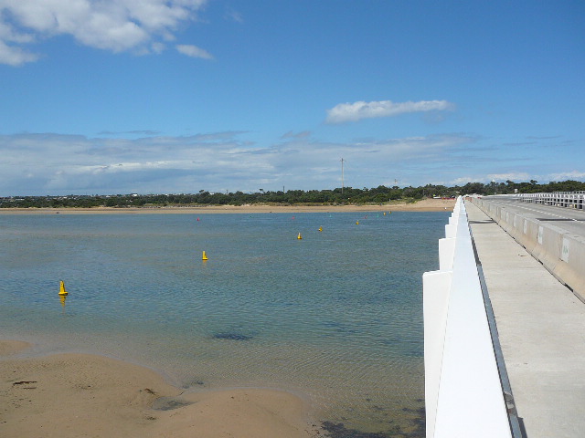
 and Gallery are subject to a Creative Commons Attribution License

Content is made available to be used in any way, and should always attribute EstuaryWatch and www.estuarywatch.org.au