EstuaryWatch Data Portal
Observation details
Overview
| Estuary | Barwon River Estuary |
|---|---|
| Site | Barwon River - Observation Site |
| Observation ID | #4903 |
| Date and Time | Saturday 1st January 2011 14:30pm |
| Approved | Approved |
Notes
Depth gauge at Sheepwash Rd corner well above water level. Its base is so muddy that the scale is obscured and would be illegible even if it were in the water.
The sign marking the position of BP3 has been removed following restoration of pedestrian access to the western bank of the river. Although pedestrian access is again available on the main bridge, the light posts that marked the positions of BP1 and BP2 have been removed.
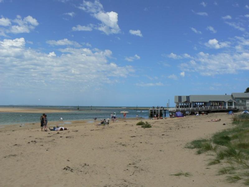
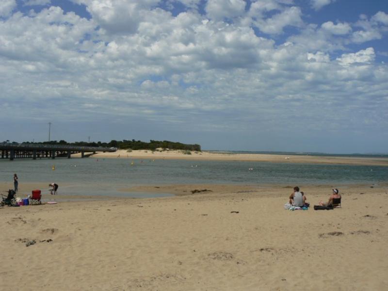
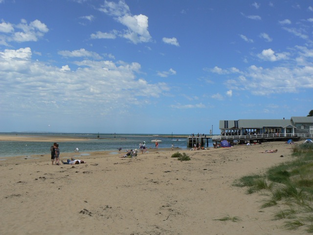
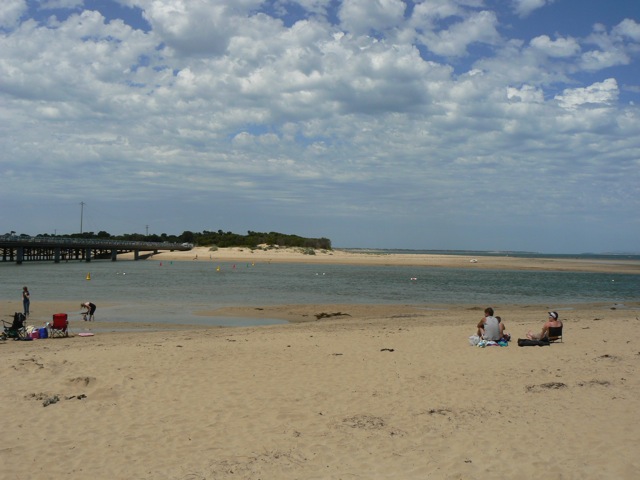
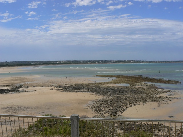
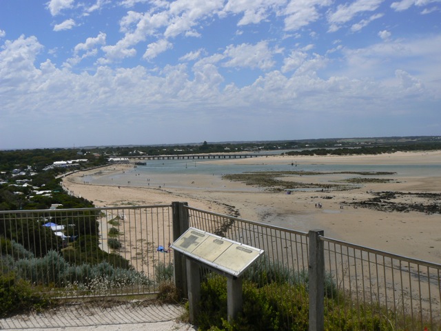
Mouth Observation
| Mouth state | |
|---|---|
| Previous | |
| Flow Present? | No |
| Previous | |
| Flow Direction | Slack |
| Previous | S O O I O S I O I O O |
| Above Sea | Above Estuary | |
|---|---|---|
| Berm Height (m) | ||
| Berm Length (m) |
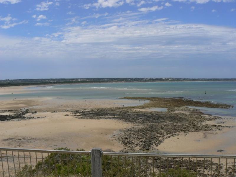
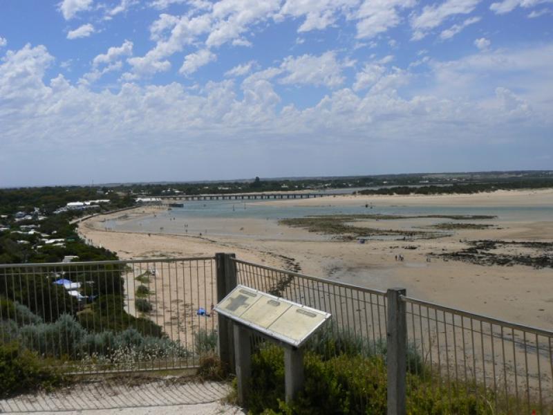
Physical Condition
| Current | Mode | |
|---|---|---|
| Wind Direction | South-West | South-East |
| Beaufort Scale | Fresh breeze | Gentle breeze |
| Sea State | Moderate | Moderate |

All content, files, data and images provided by the EstuaryWatch Data Portal and Gallery are subject to a Creative Commons Attribution License
Content is made available to be used in any way, and should always attribute EstuaryWatch and www.estuarywatch.org.au